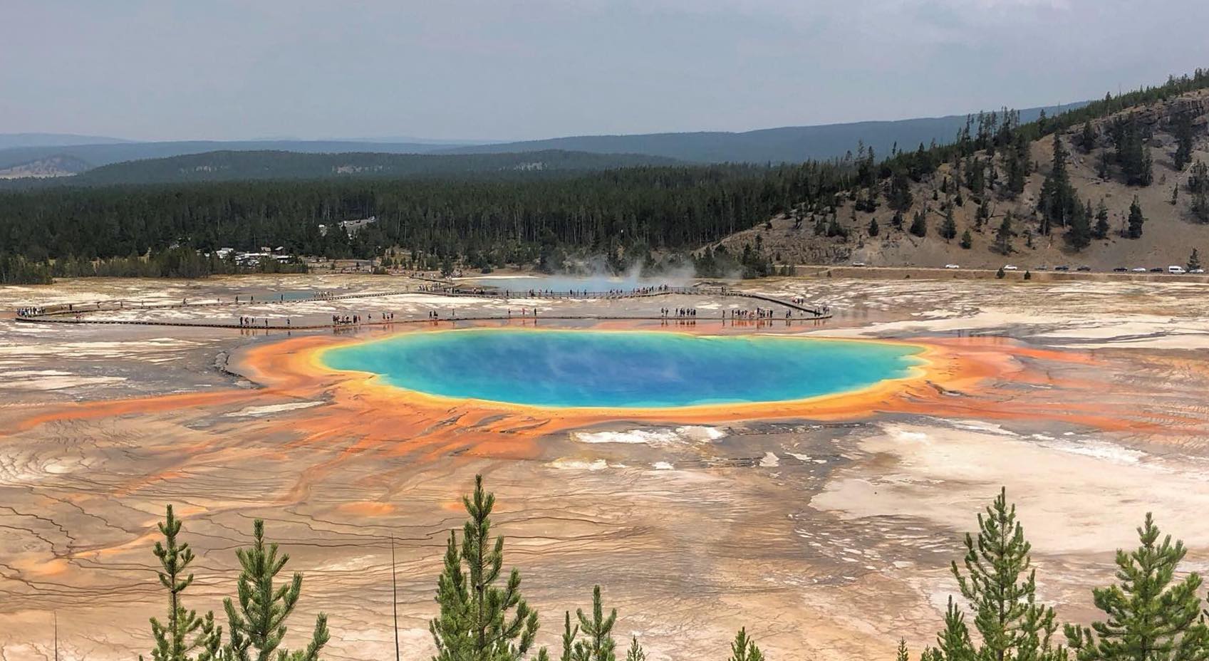
Let's be honest - at 1.2 miles round-trip, this isn't much of a hike, but you probably won't find a more stunning site in nature than the Grand Prismatic Spring - the largest hot spring in the United States. True, you could see the Grand Prismatic by driving right up to it, but the view from above is worth the walk.
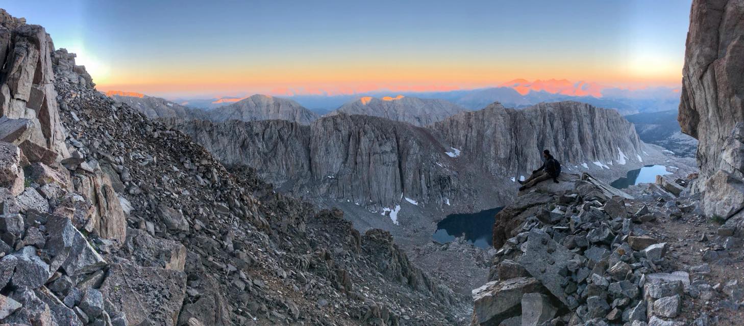
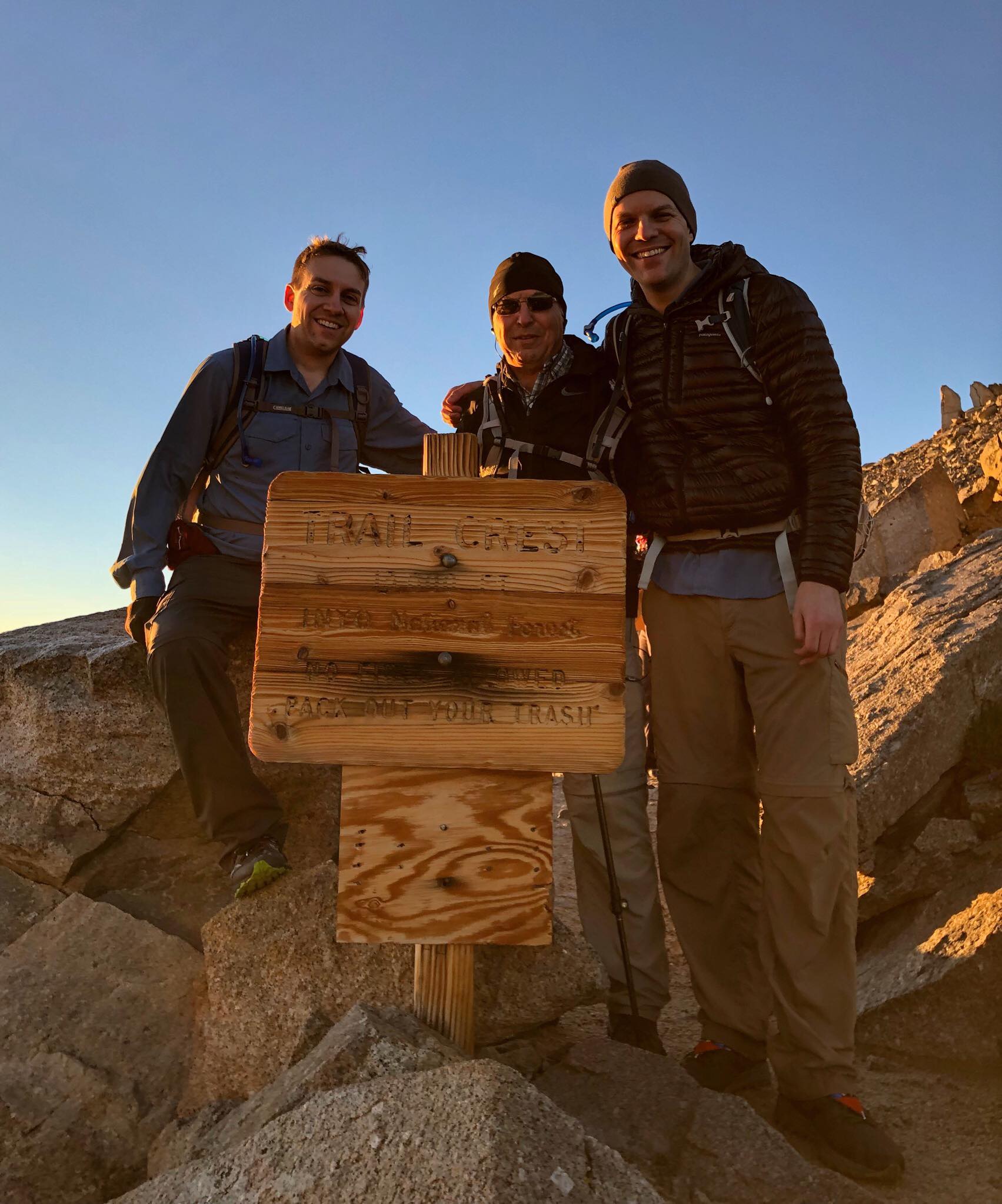
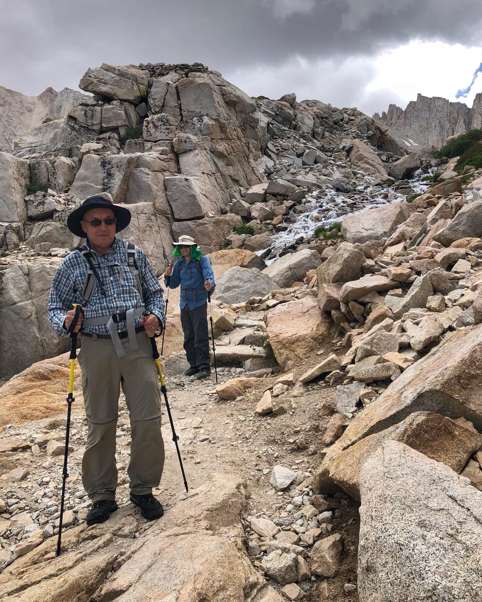
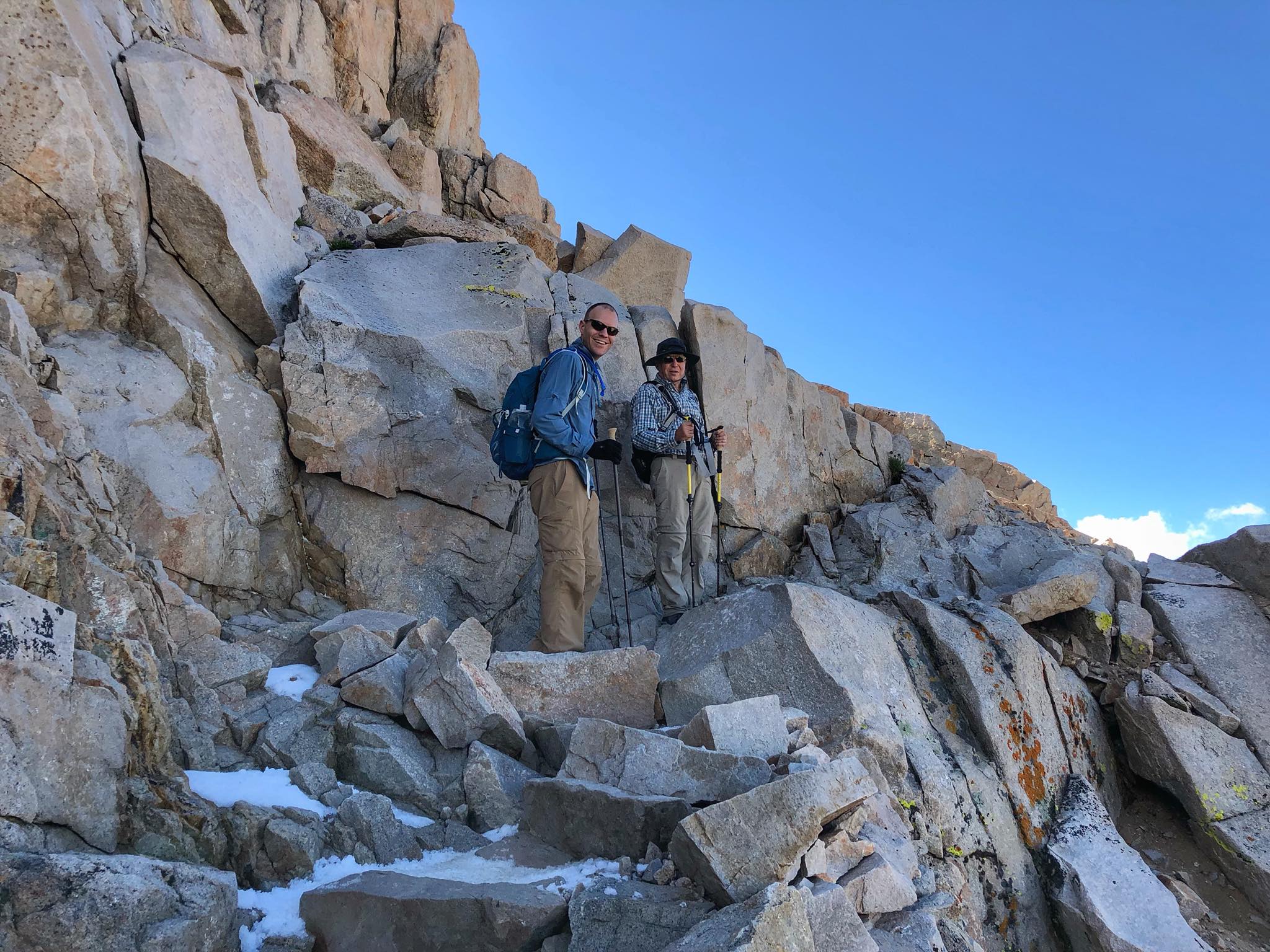
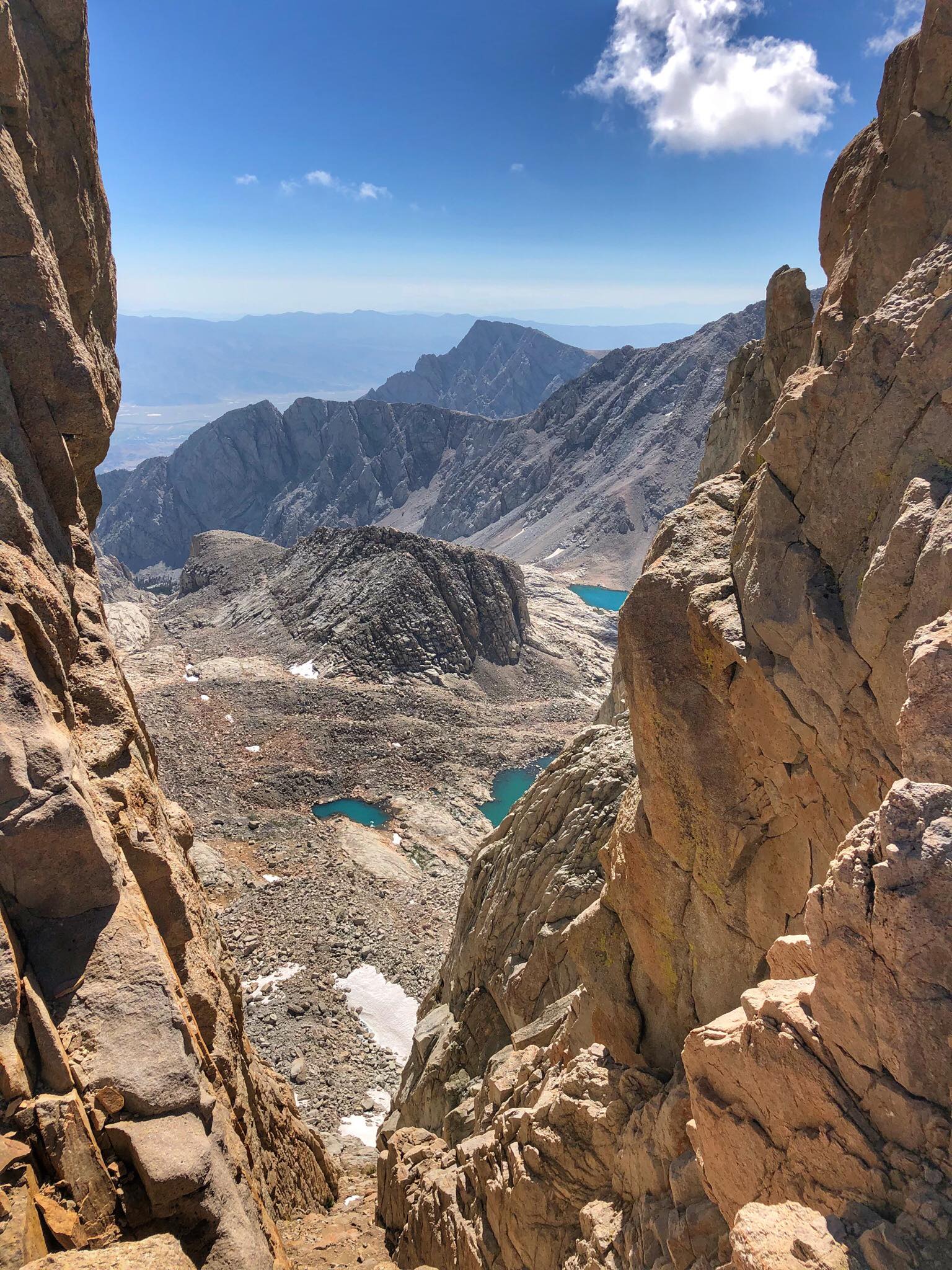
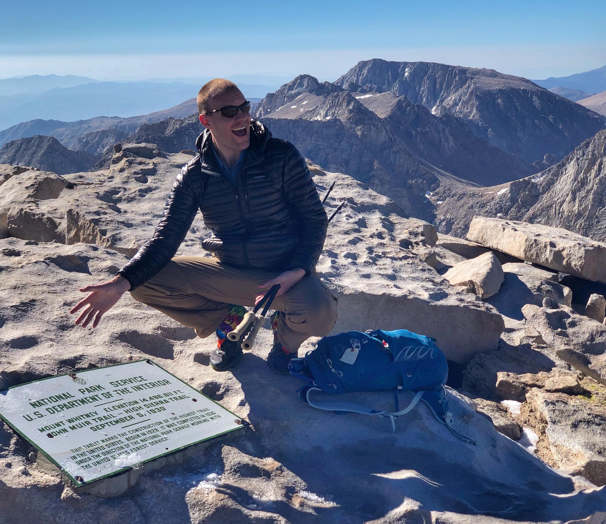
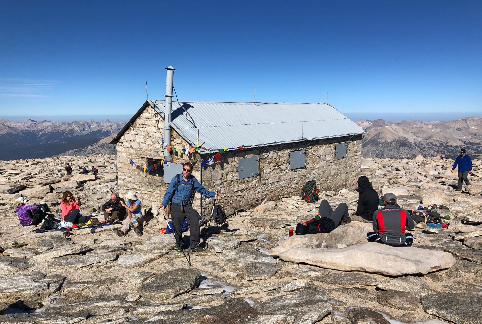
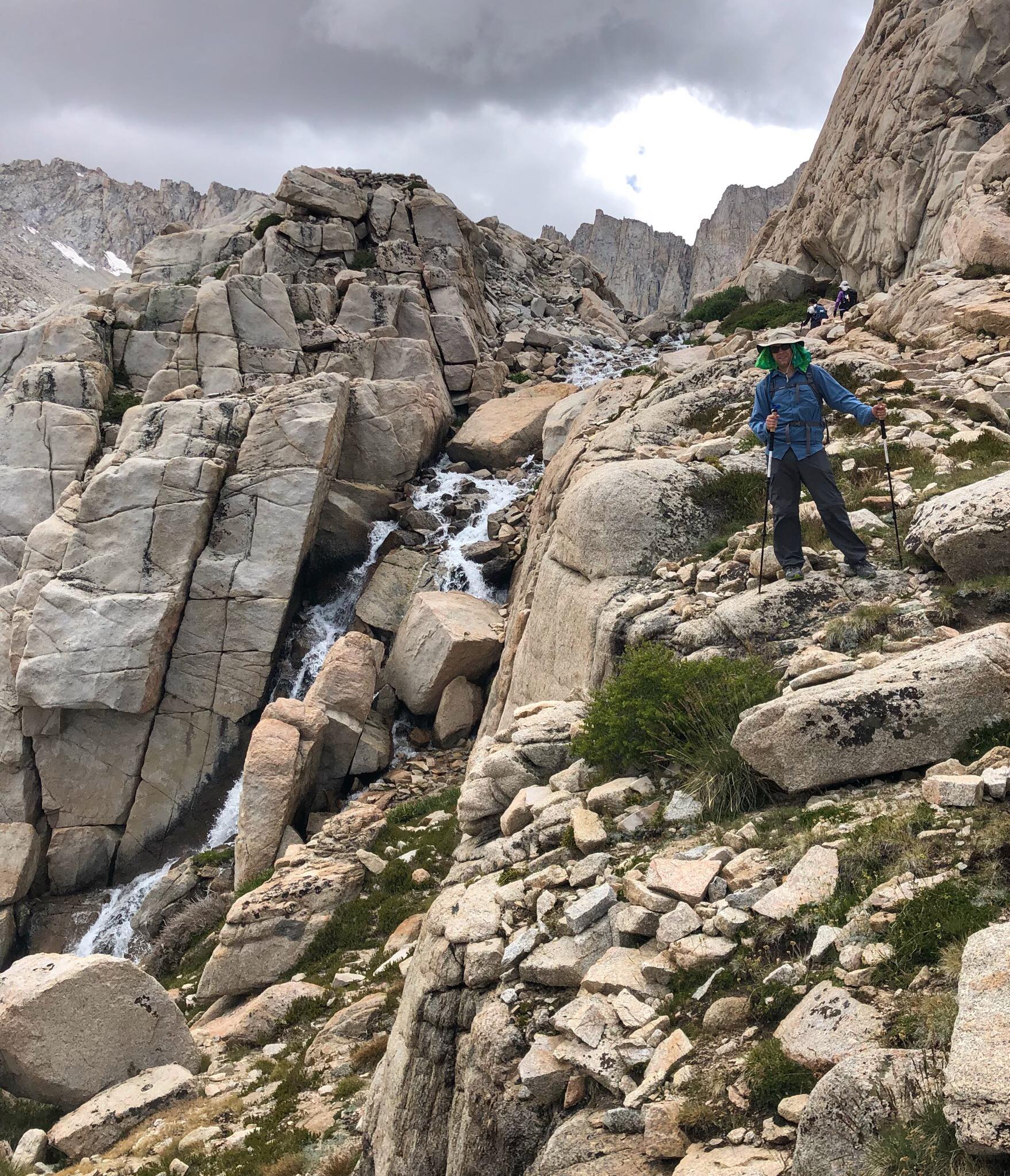
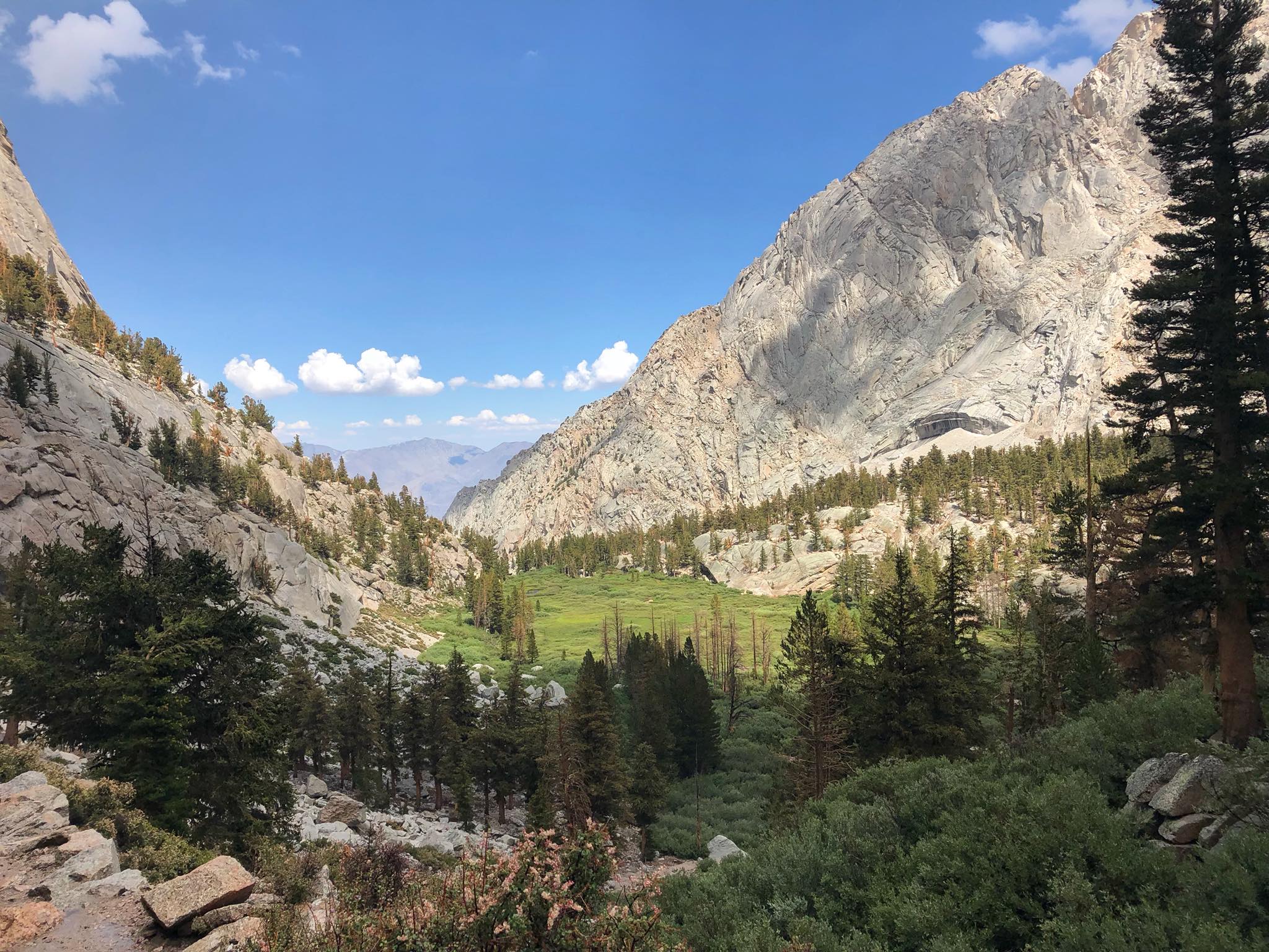
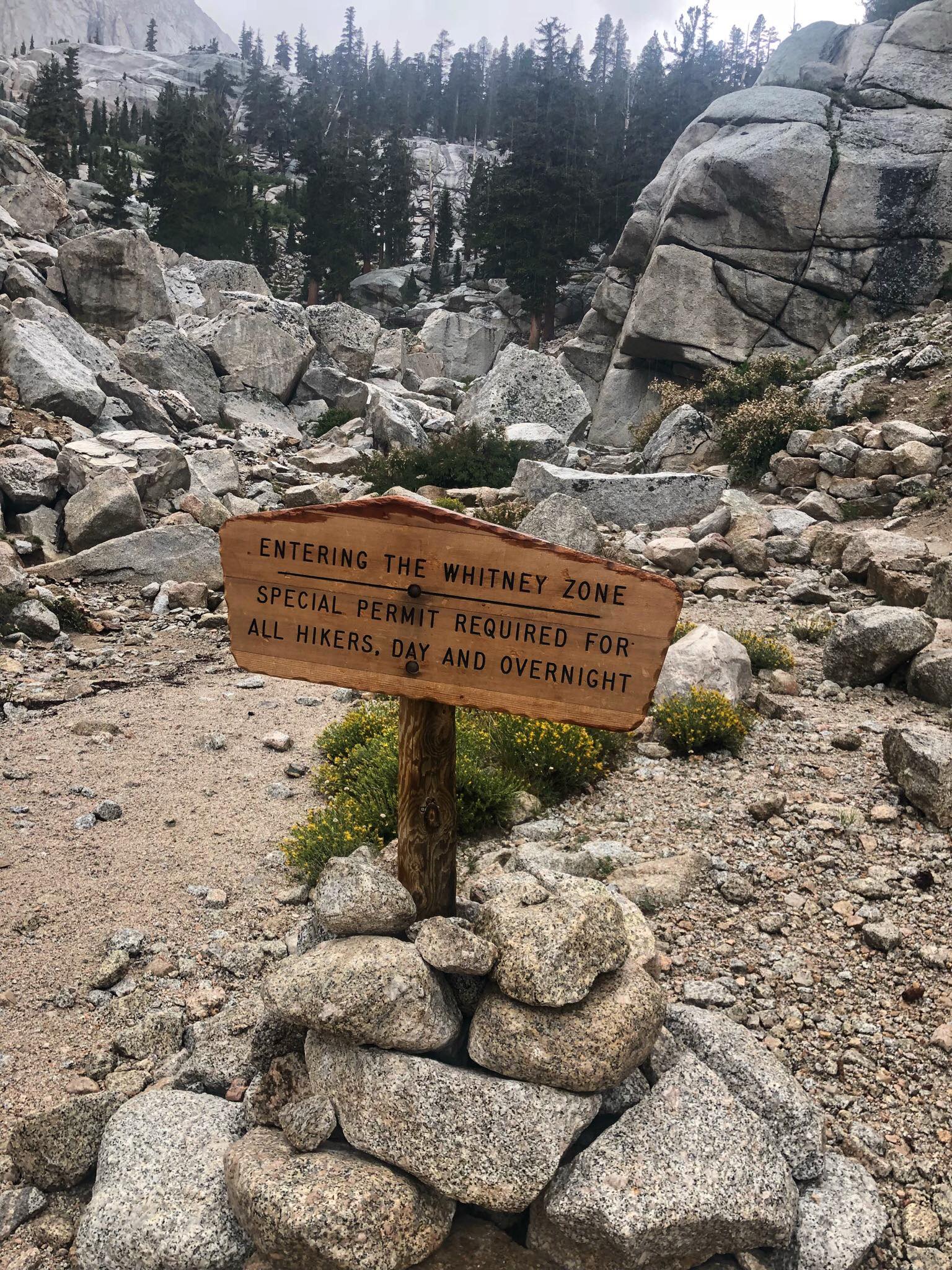
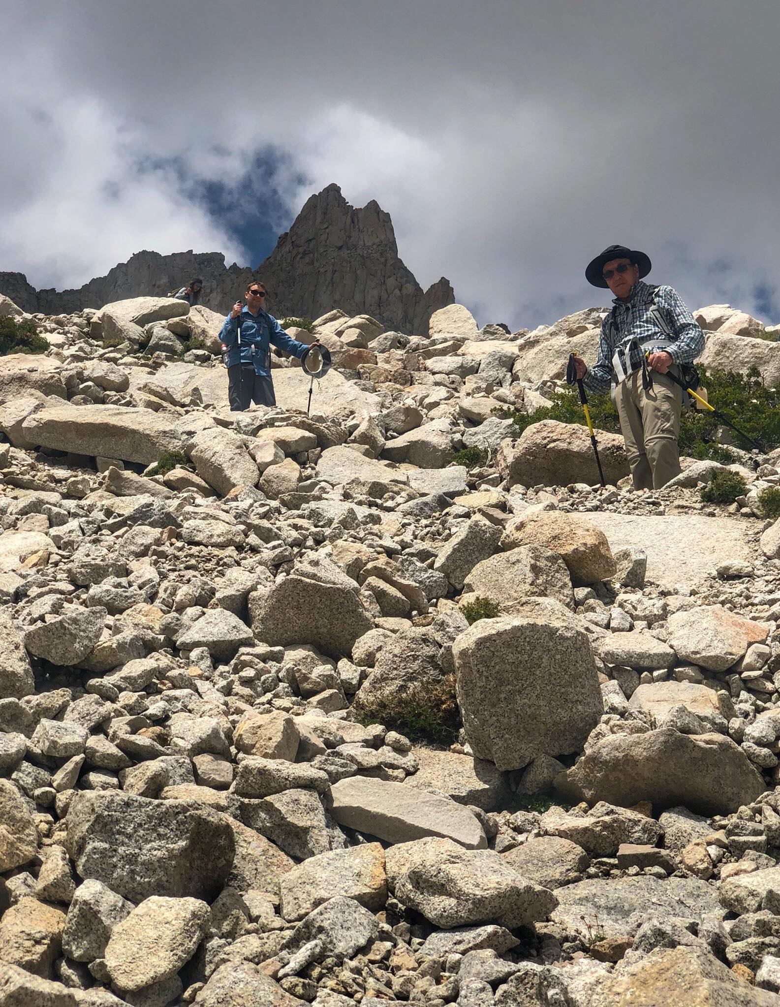
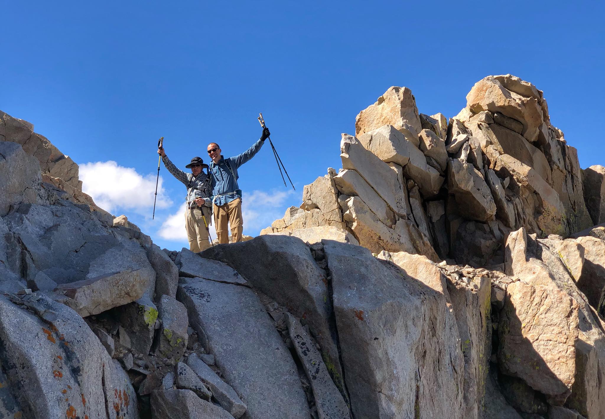
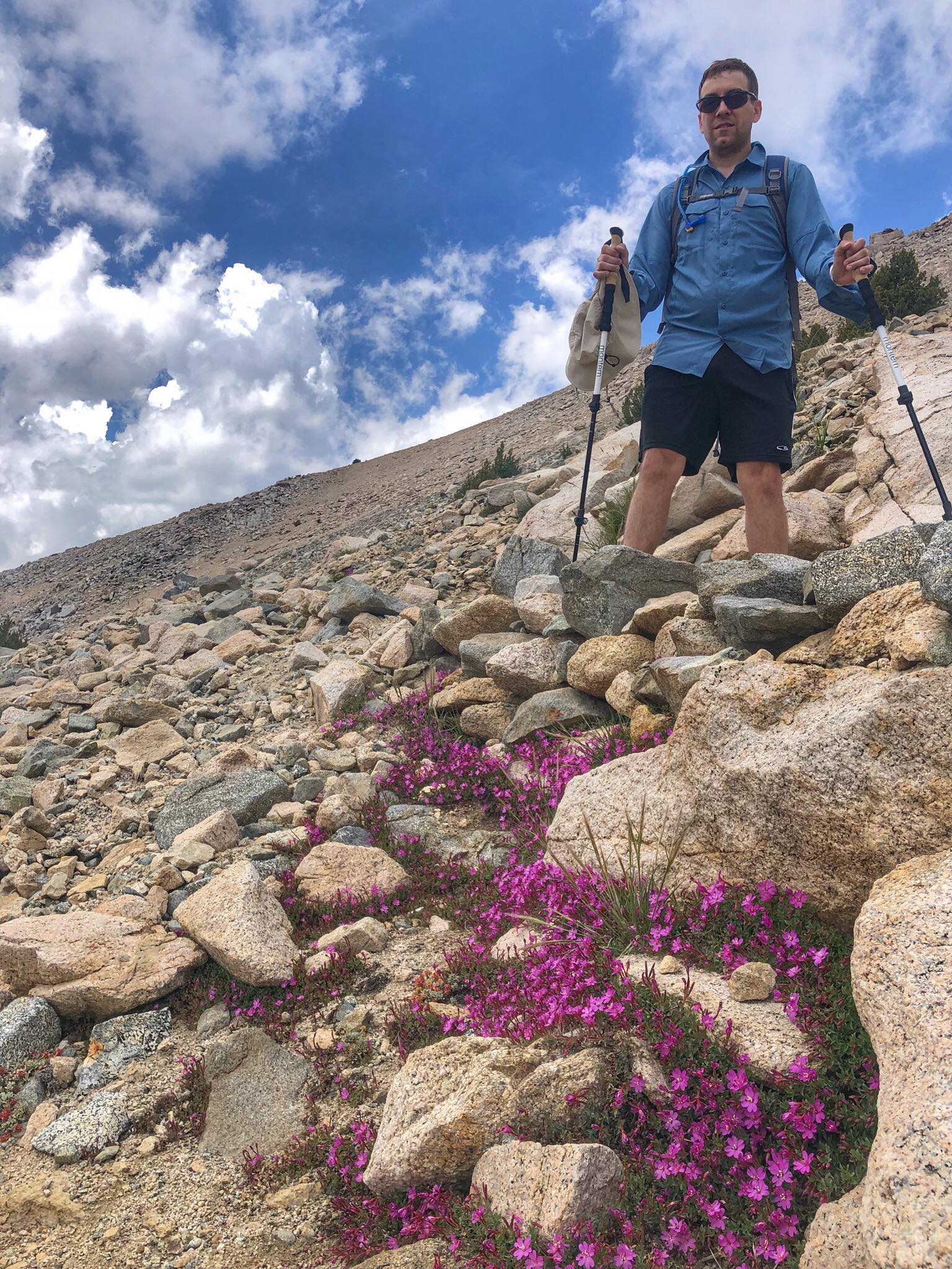
Mount Whitney is the tallest mountain in the contiguous United States with an elevation of 14,505. It is also the terminus of the John Muir Trail. The Mount Whitney Trail starts at Whitney Portal and climbs over 6,000 feet over nearly 11 miles (for a 22 mile round trip) to the summit. It can be done as a day hike or backpacked, and you'll need to apply for a hard-to-get permit either way. We did this as a day hike with my dad and one of my brothers in late July. If you don't go in the summer, be prepared for snow and ice. Lone Pine, California is the nearest town with hotels and other facilities.
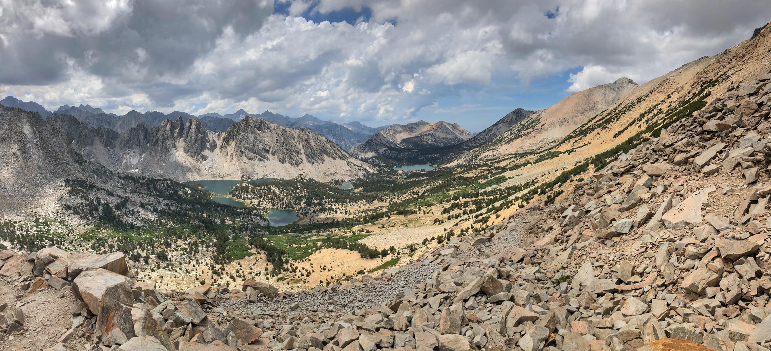
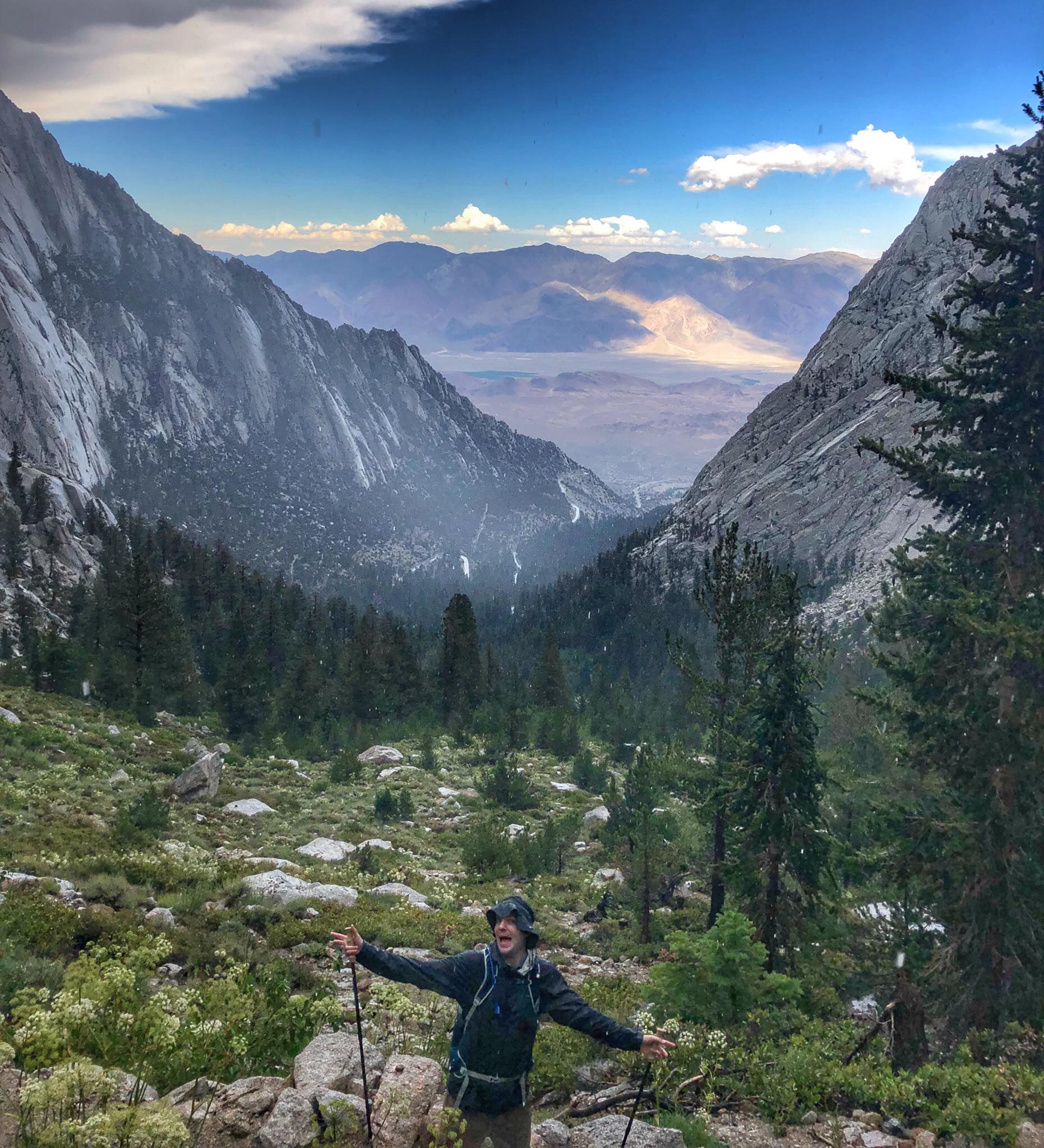
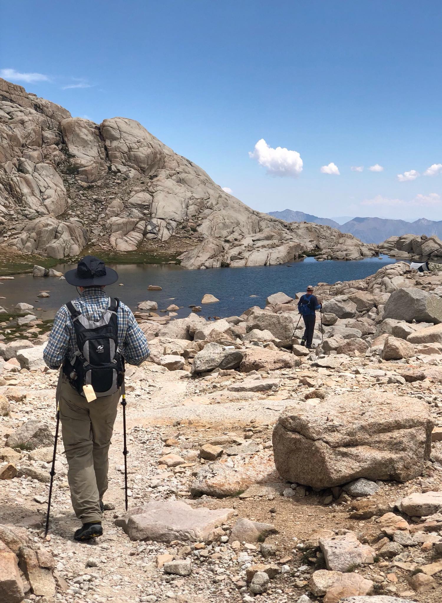
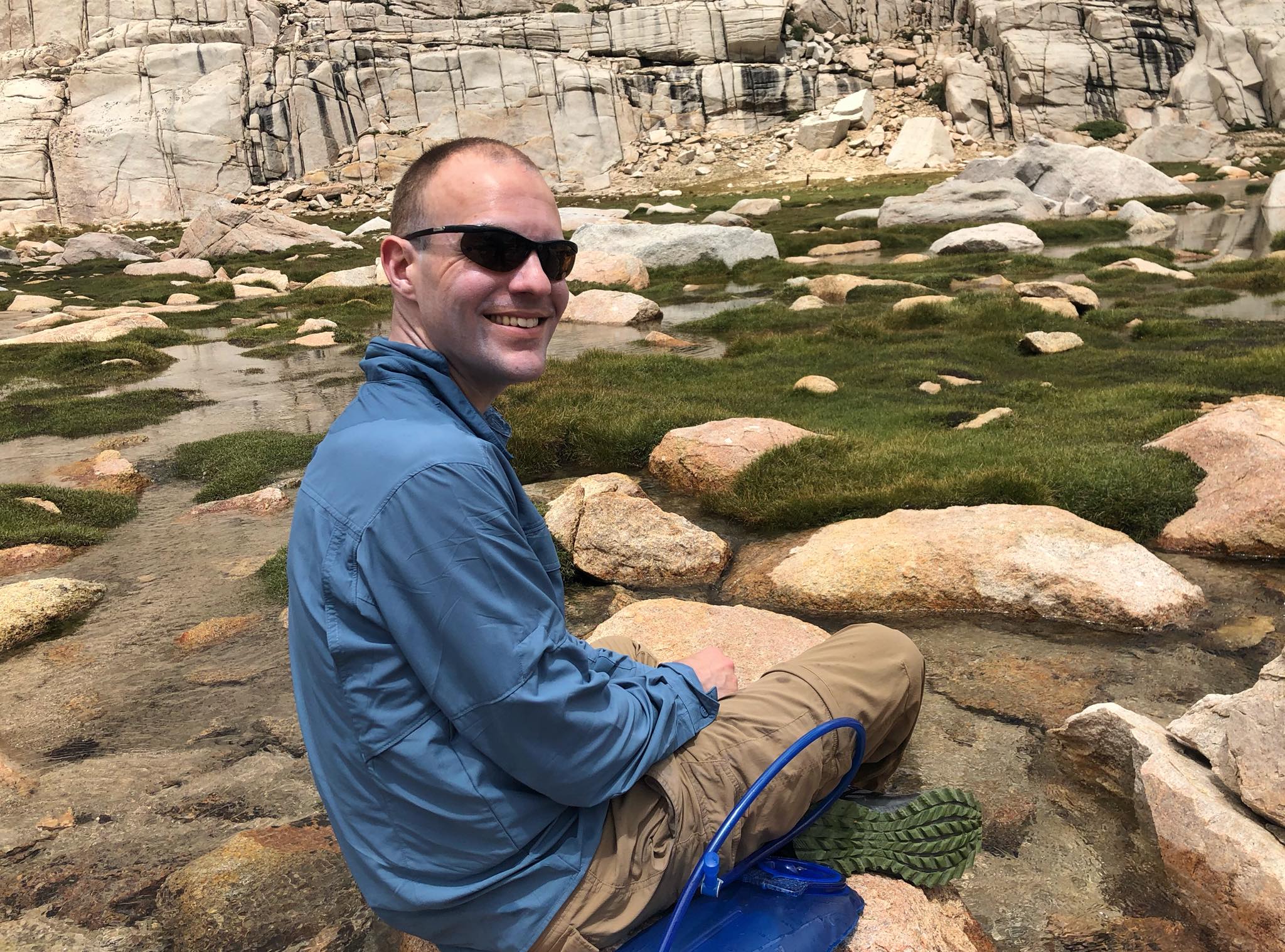
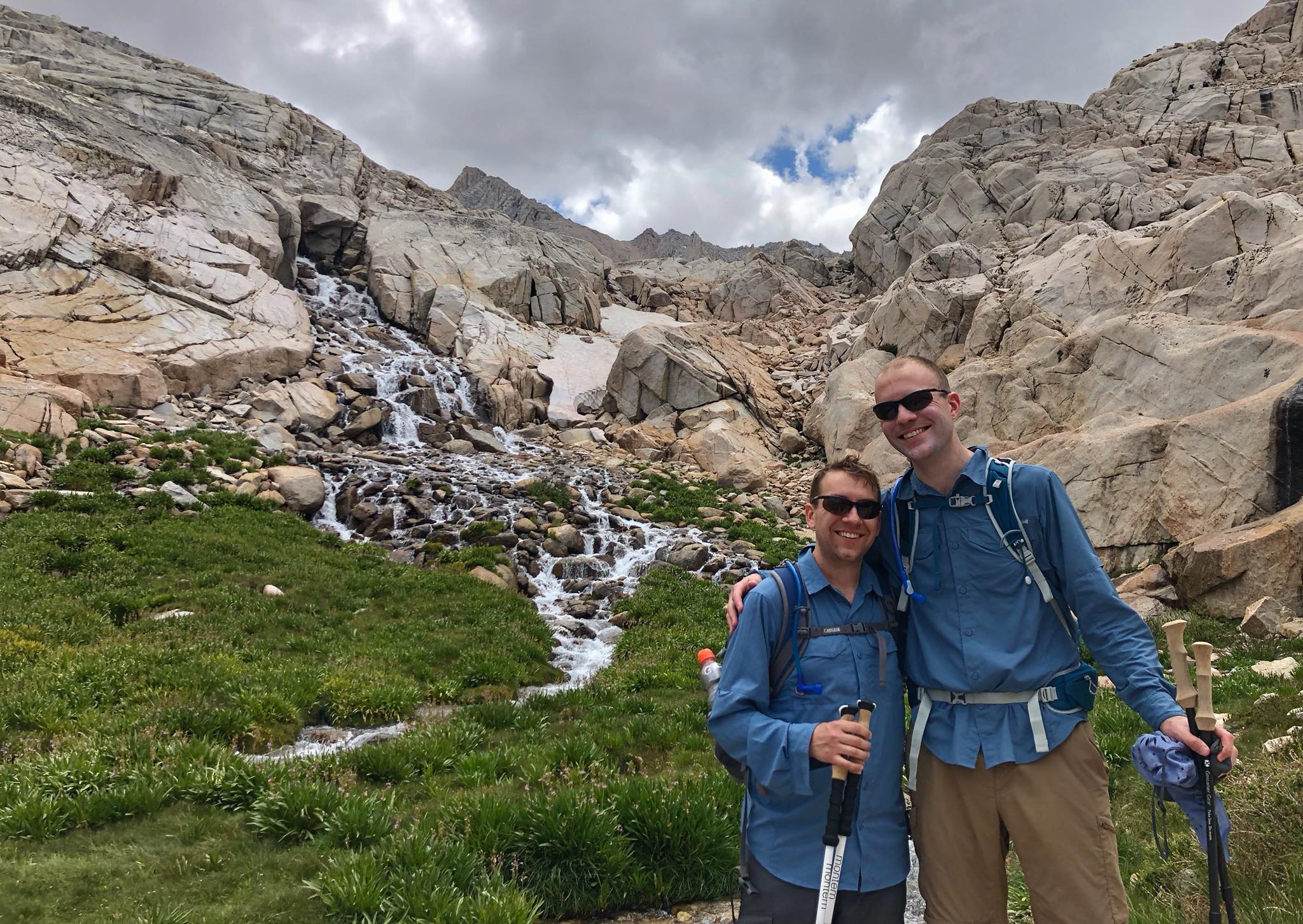
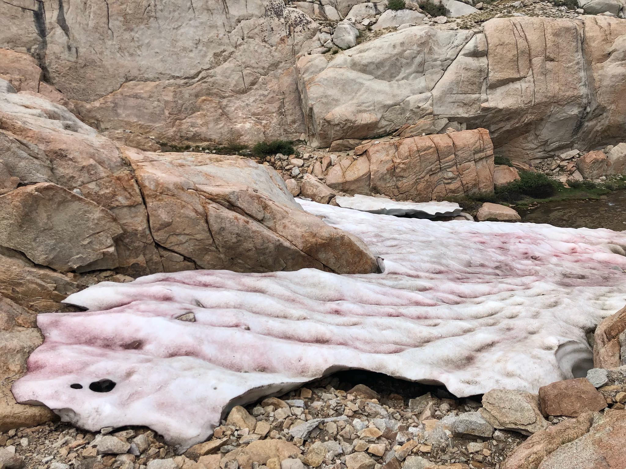
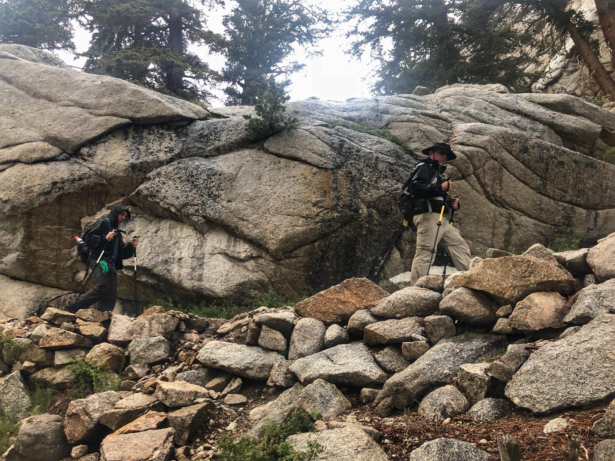
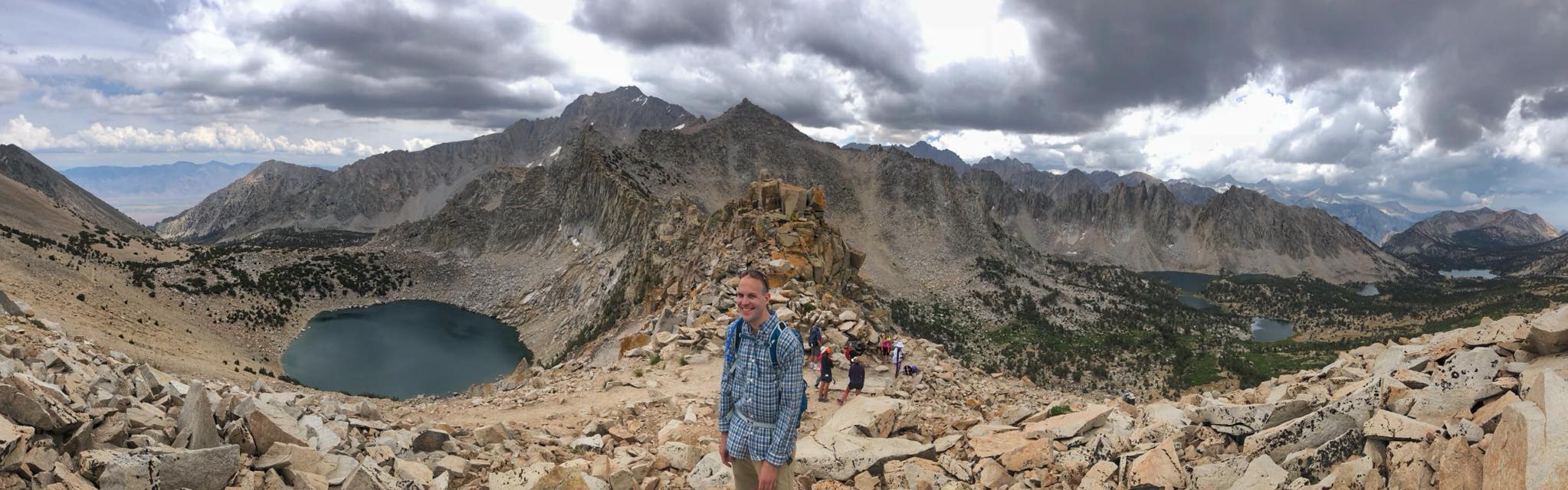
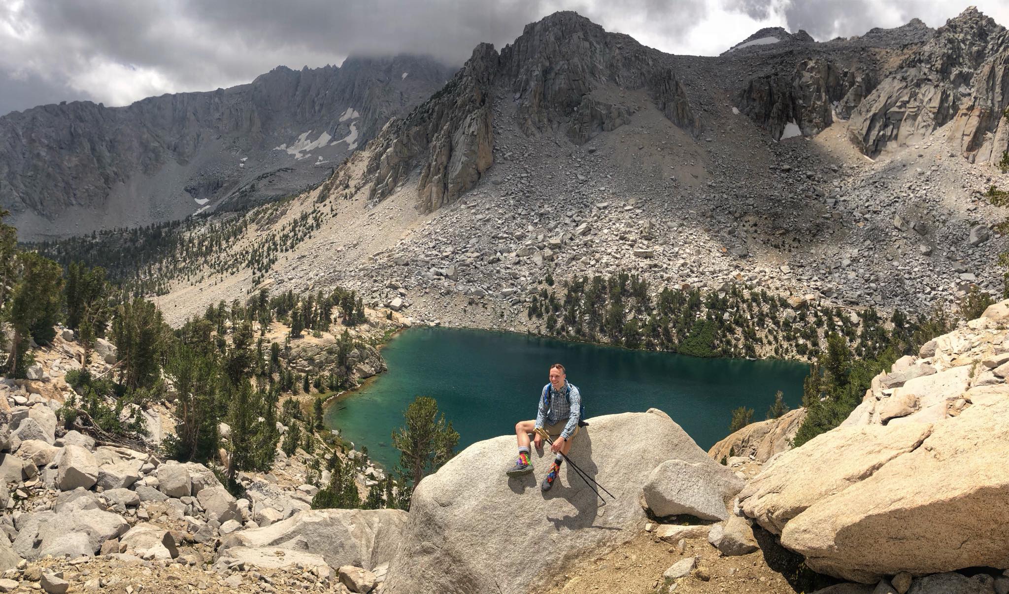
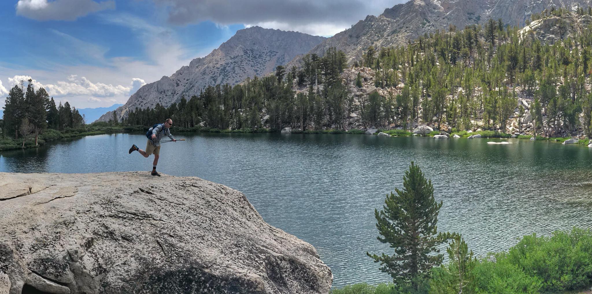
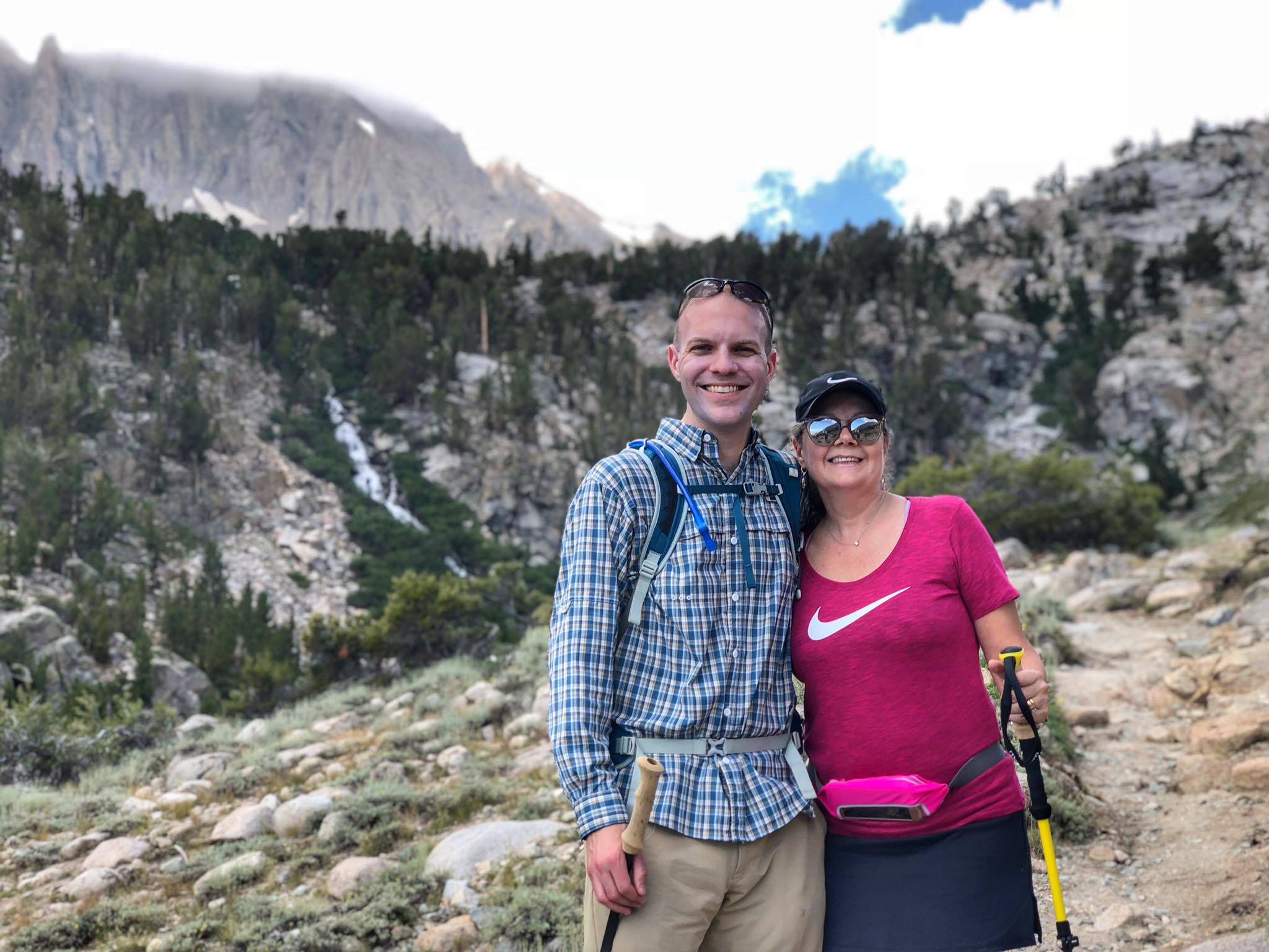
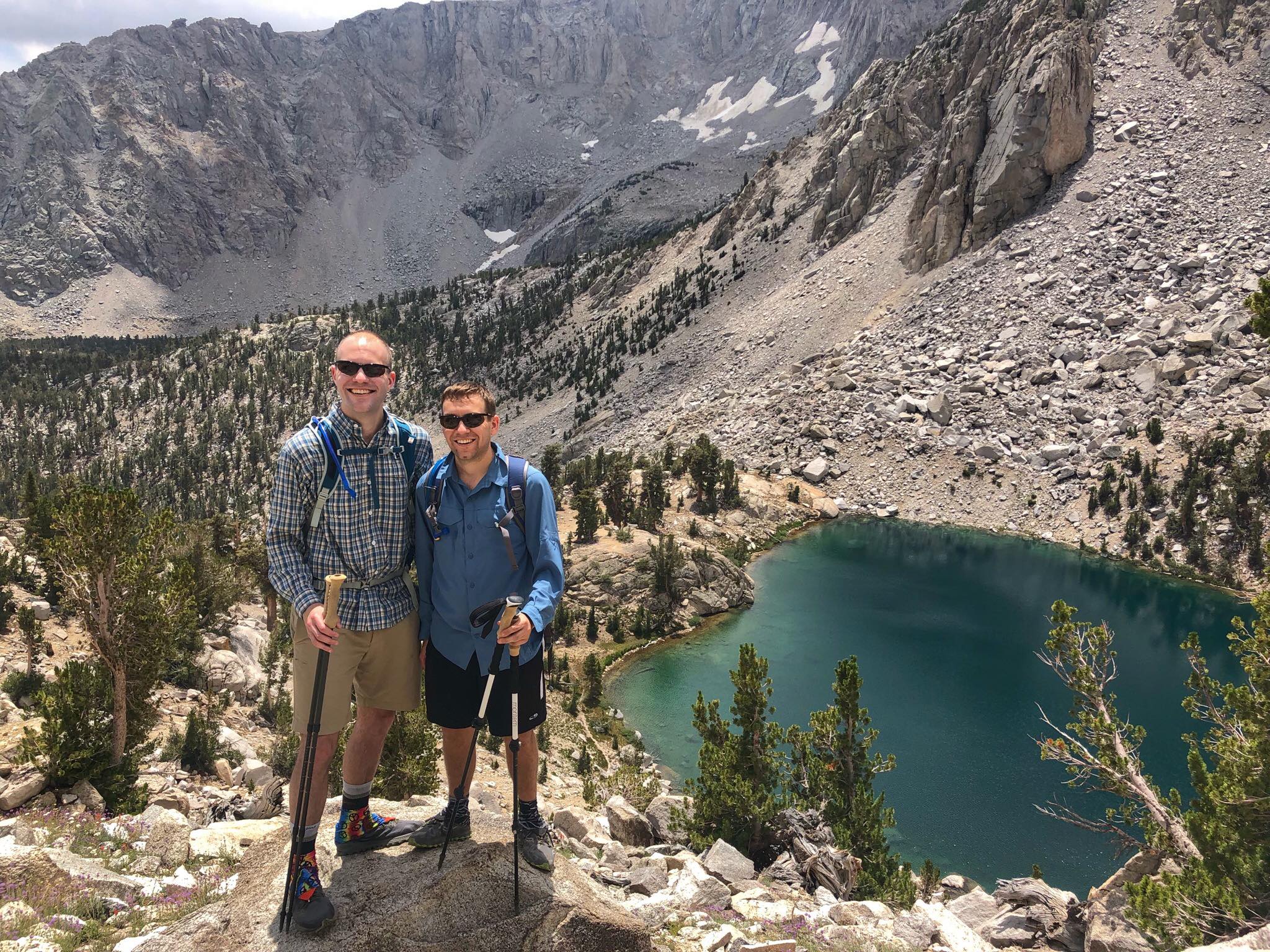
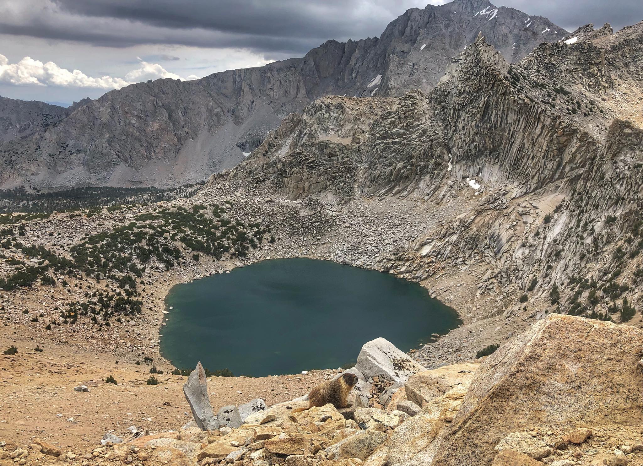
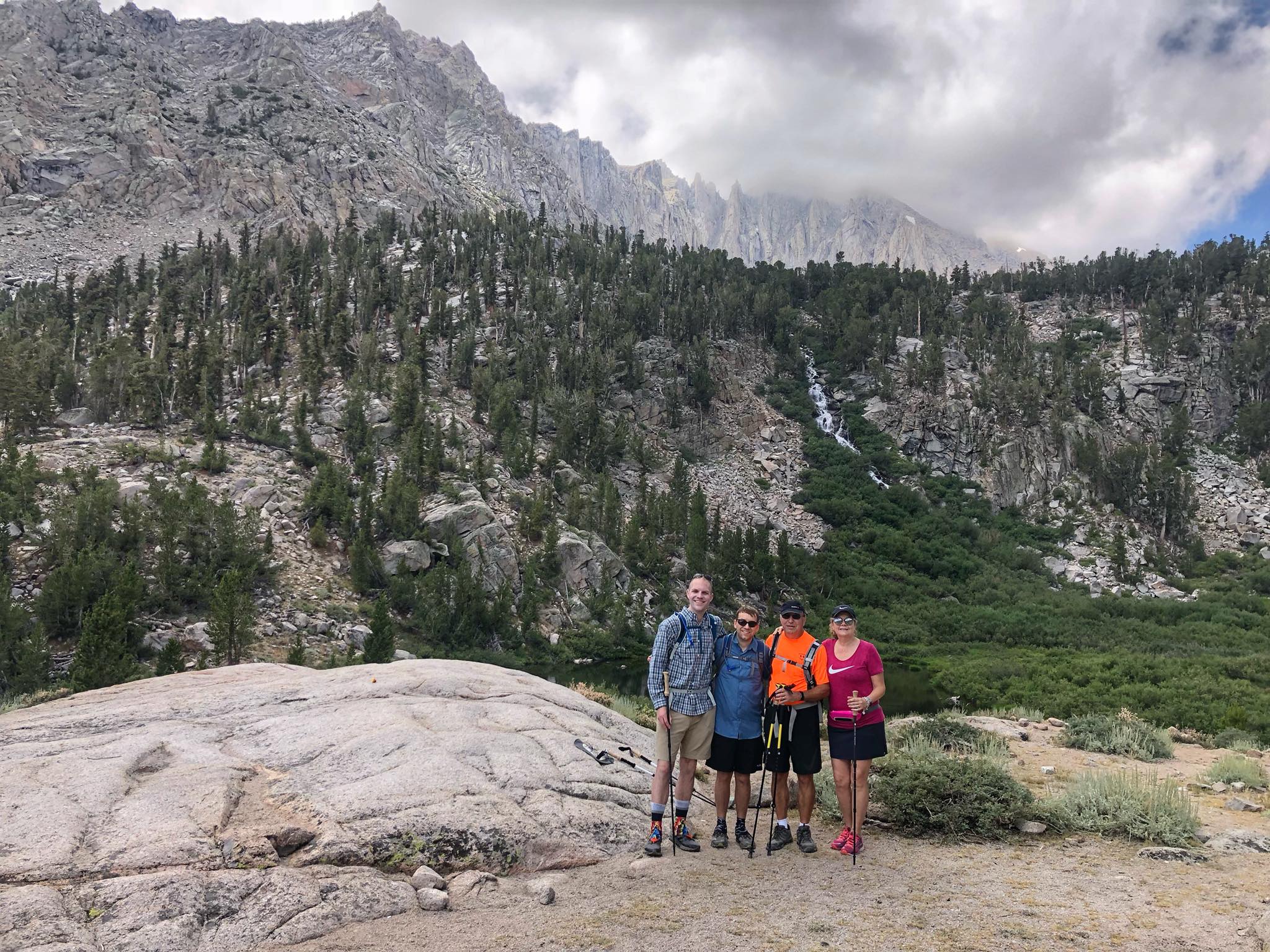
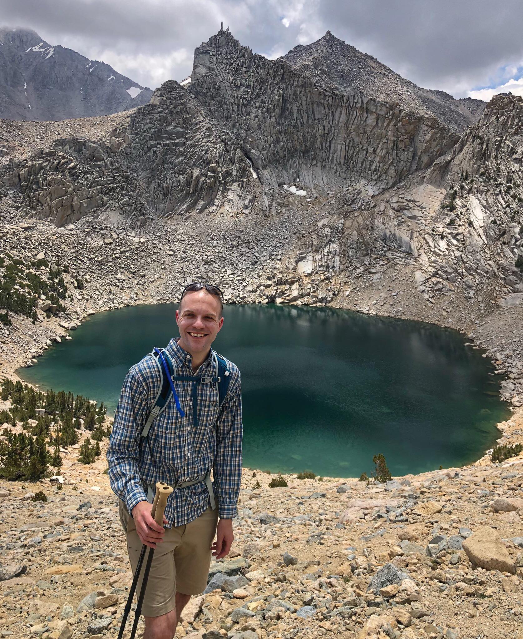
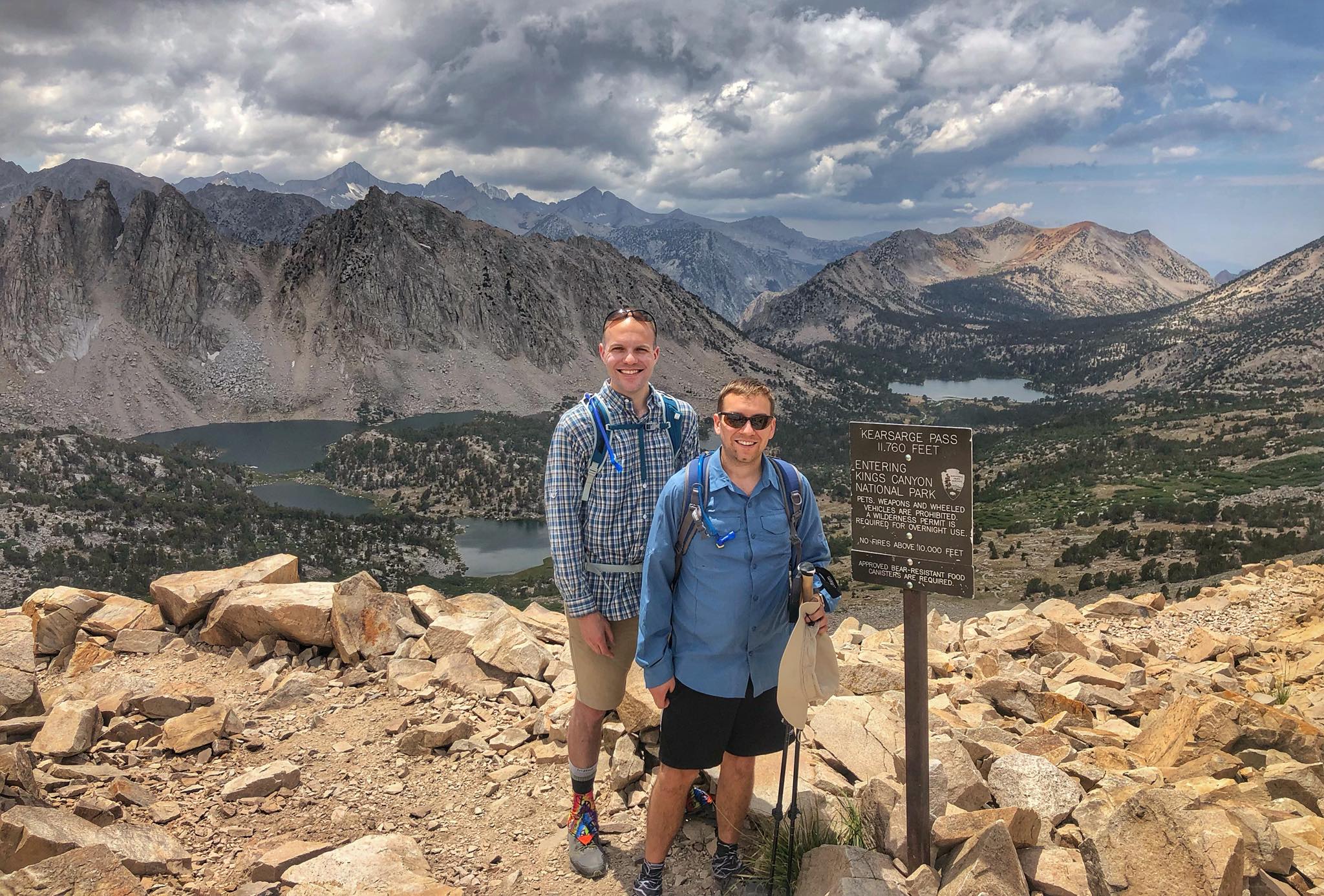
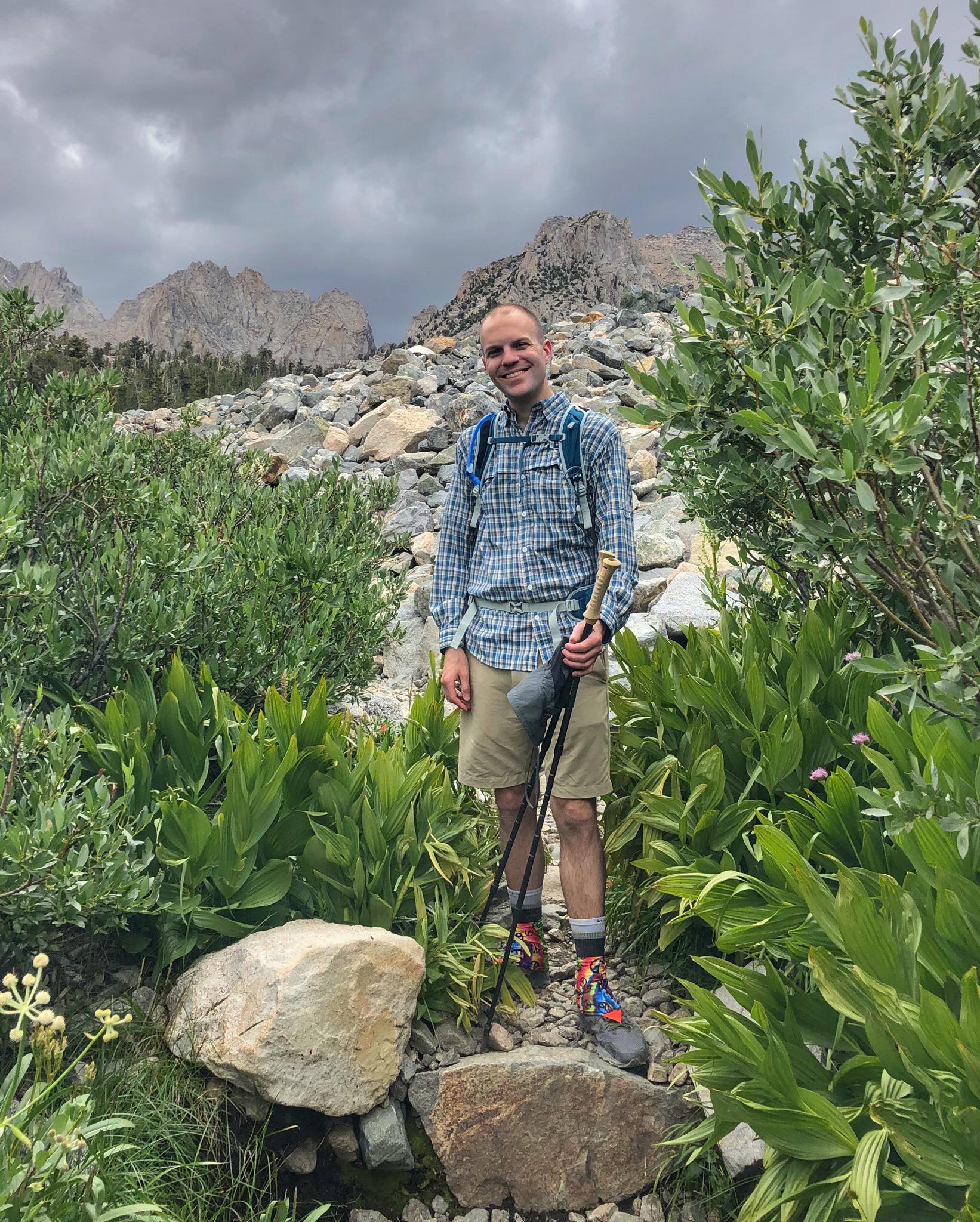
The Kearsarge Pass Trail is mile for mile one of the most scenic trails in the country. We did this hike as a family as an acclimation hike for Mt. Whitney. Beginning at Onion Valley (9,200 ft) and traveling through the John Muir Wilderness, you'll pass multiple beautiful alpine lakes as you cover the 4 miles and 2,500 feet of elevation gain to the top of 11,760-foot Kearsarge Pass - the dividing point between Inyo National Forest and Kings Canyon National Park. If you continue along the trail for another 2.5 miles, you will reach the John Muir Trail. The nearest towns to the Onion Valley trailhead are Independence, CA (15 miles) and Lone Pine, CA (~30 miles). Permits are required for overnight backpacking trips but not for day use.
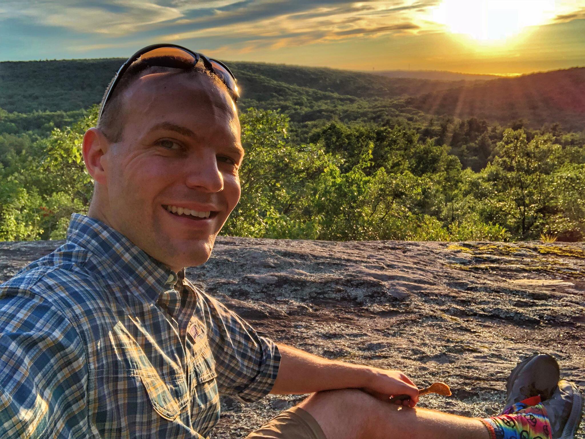
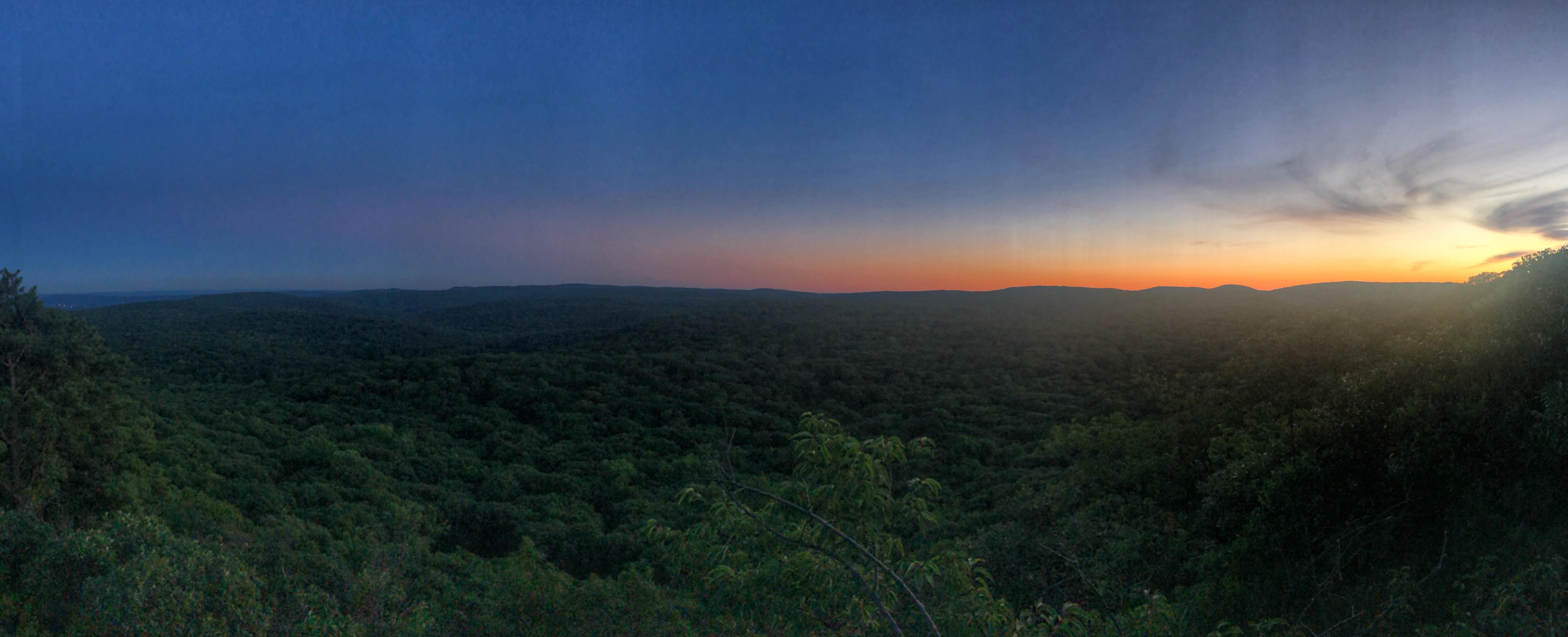
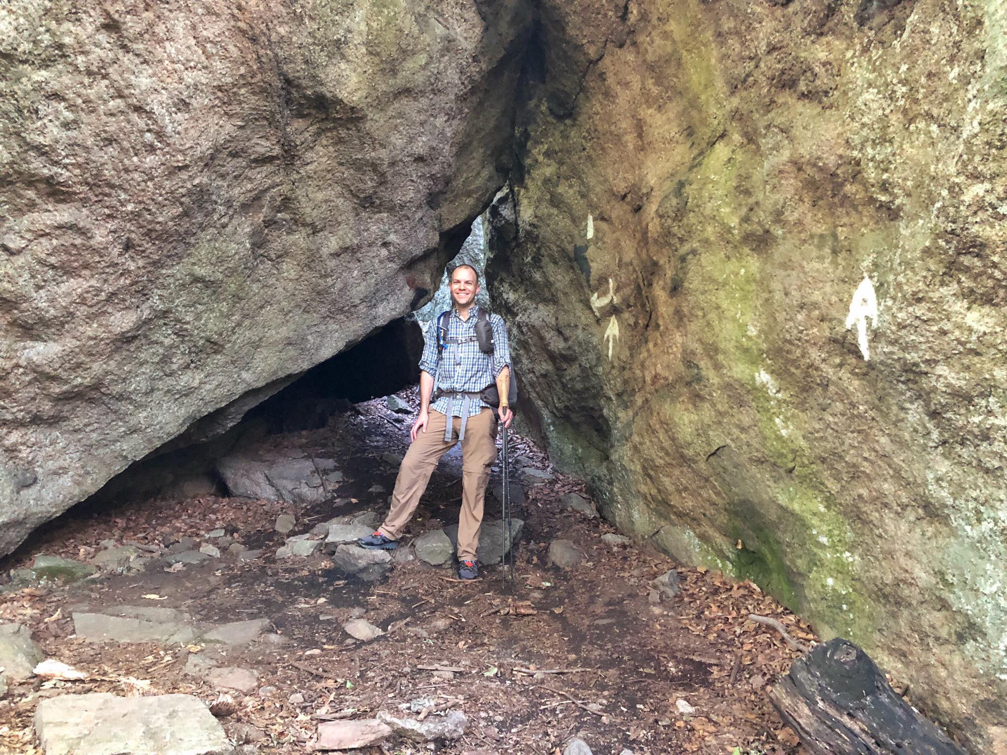
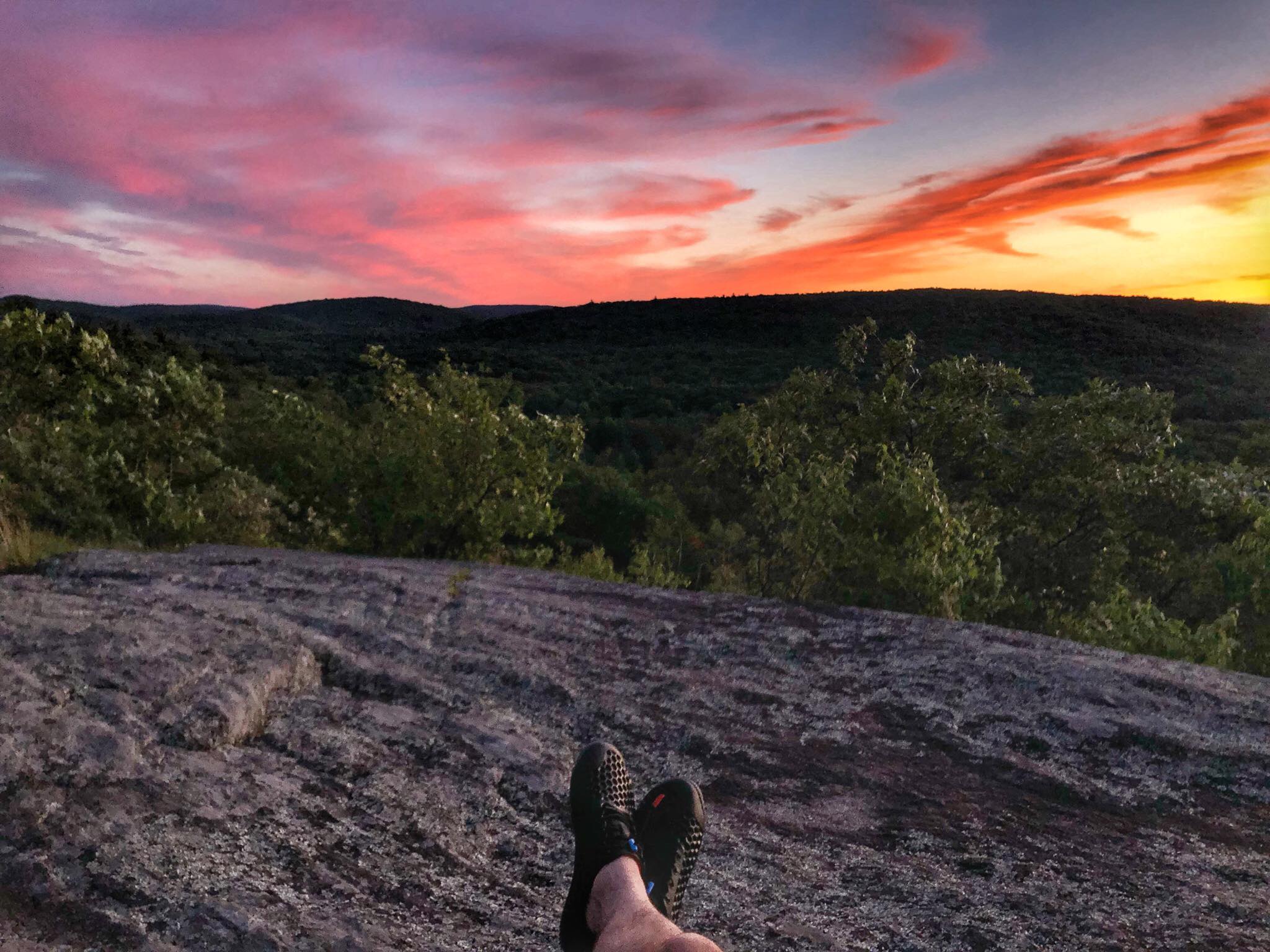
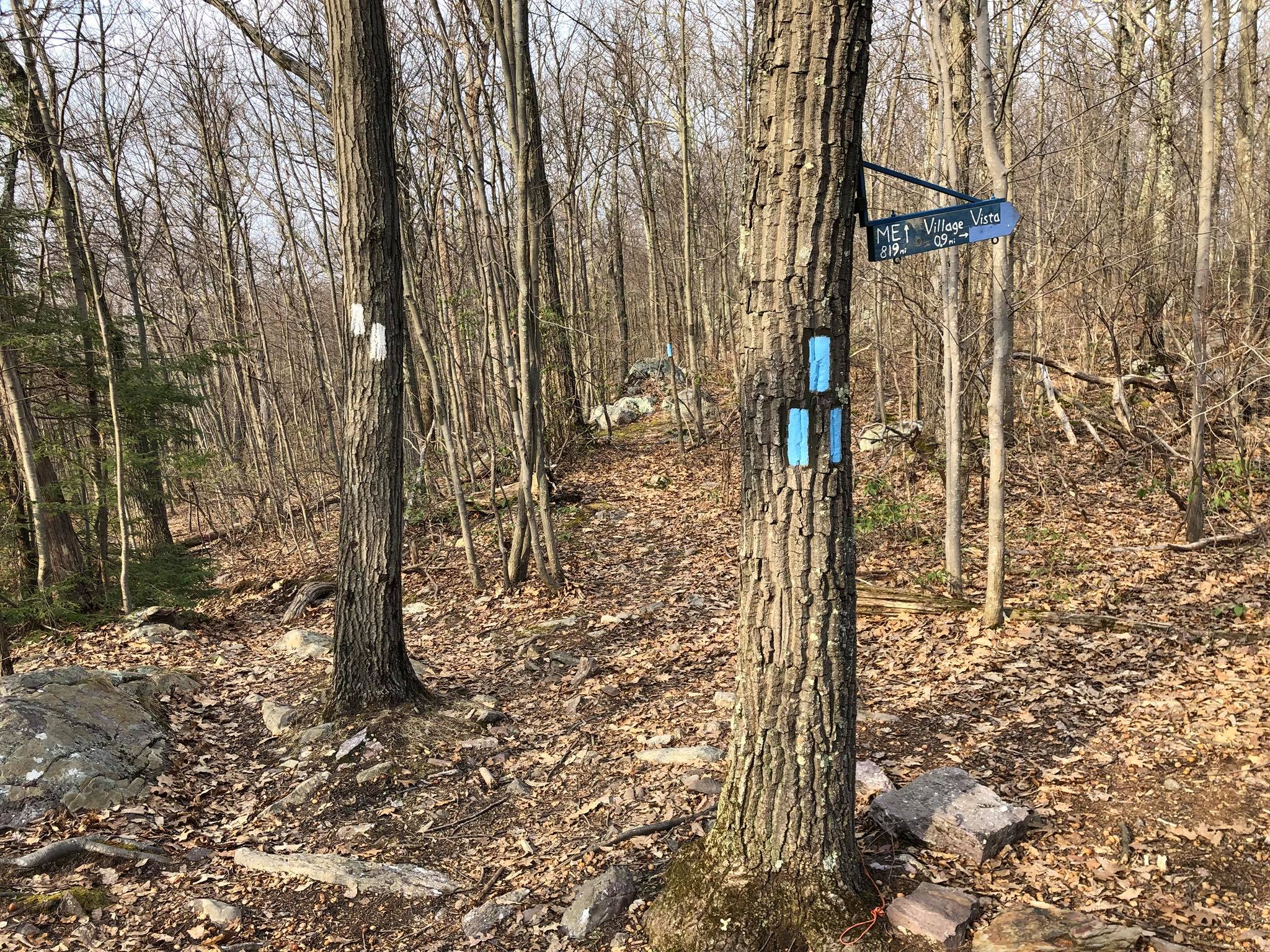
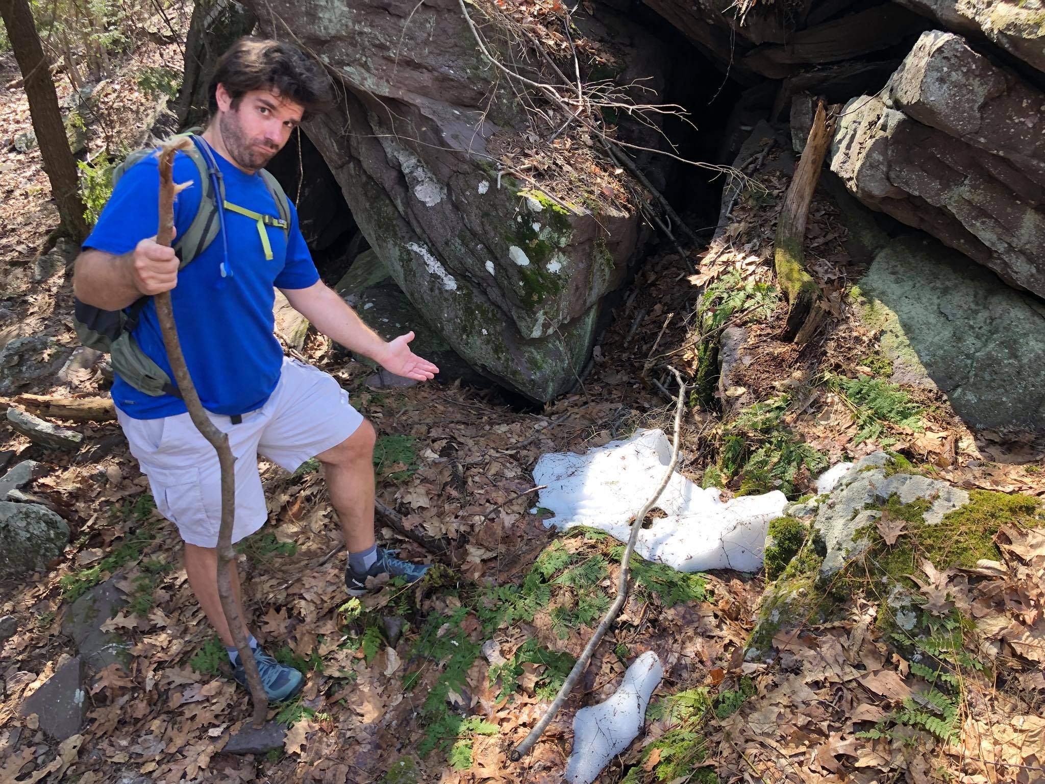
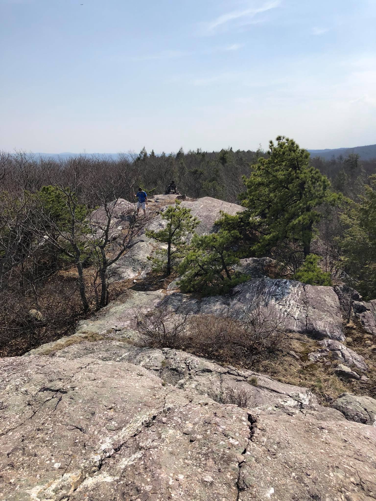
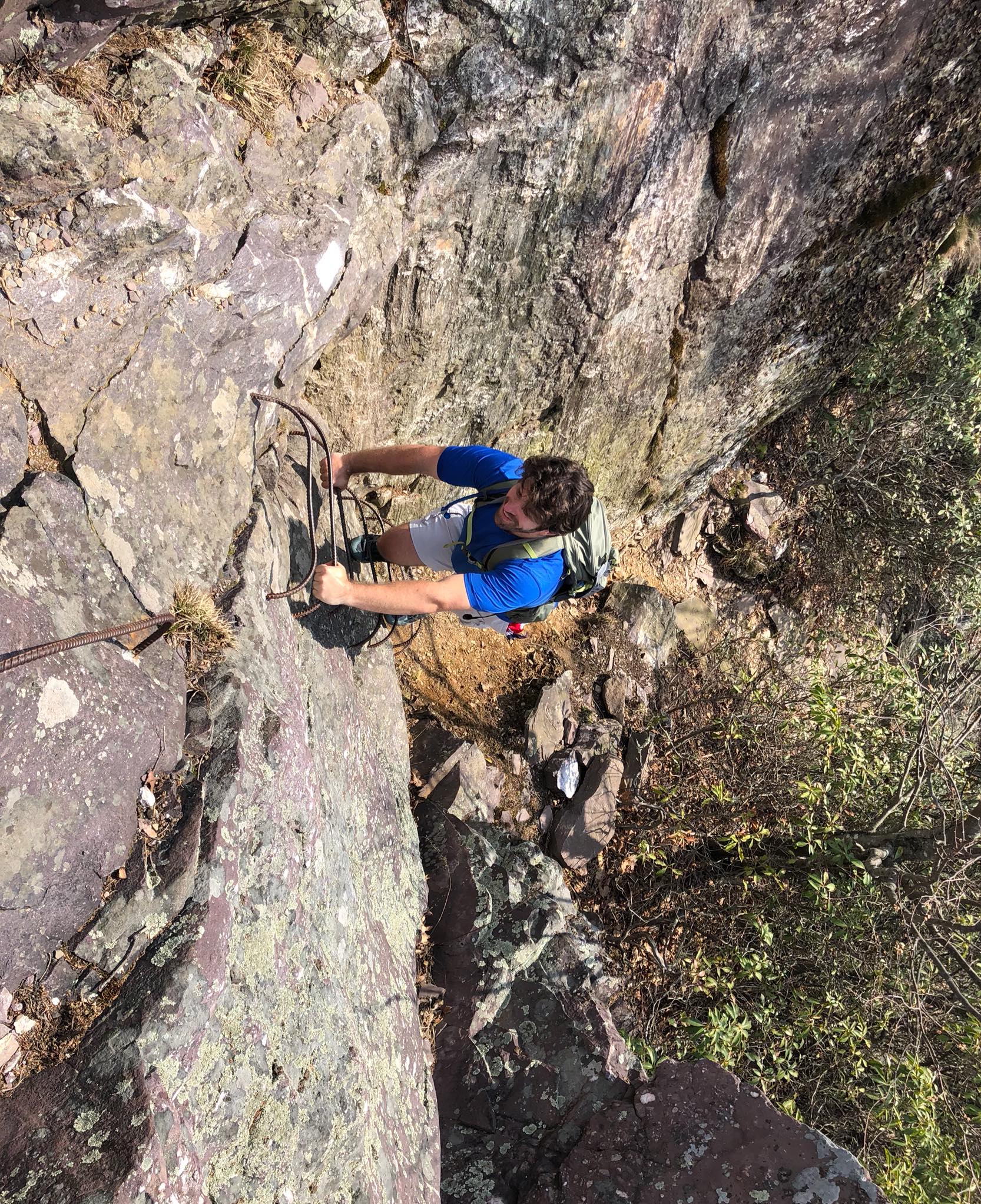
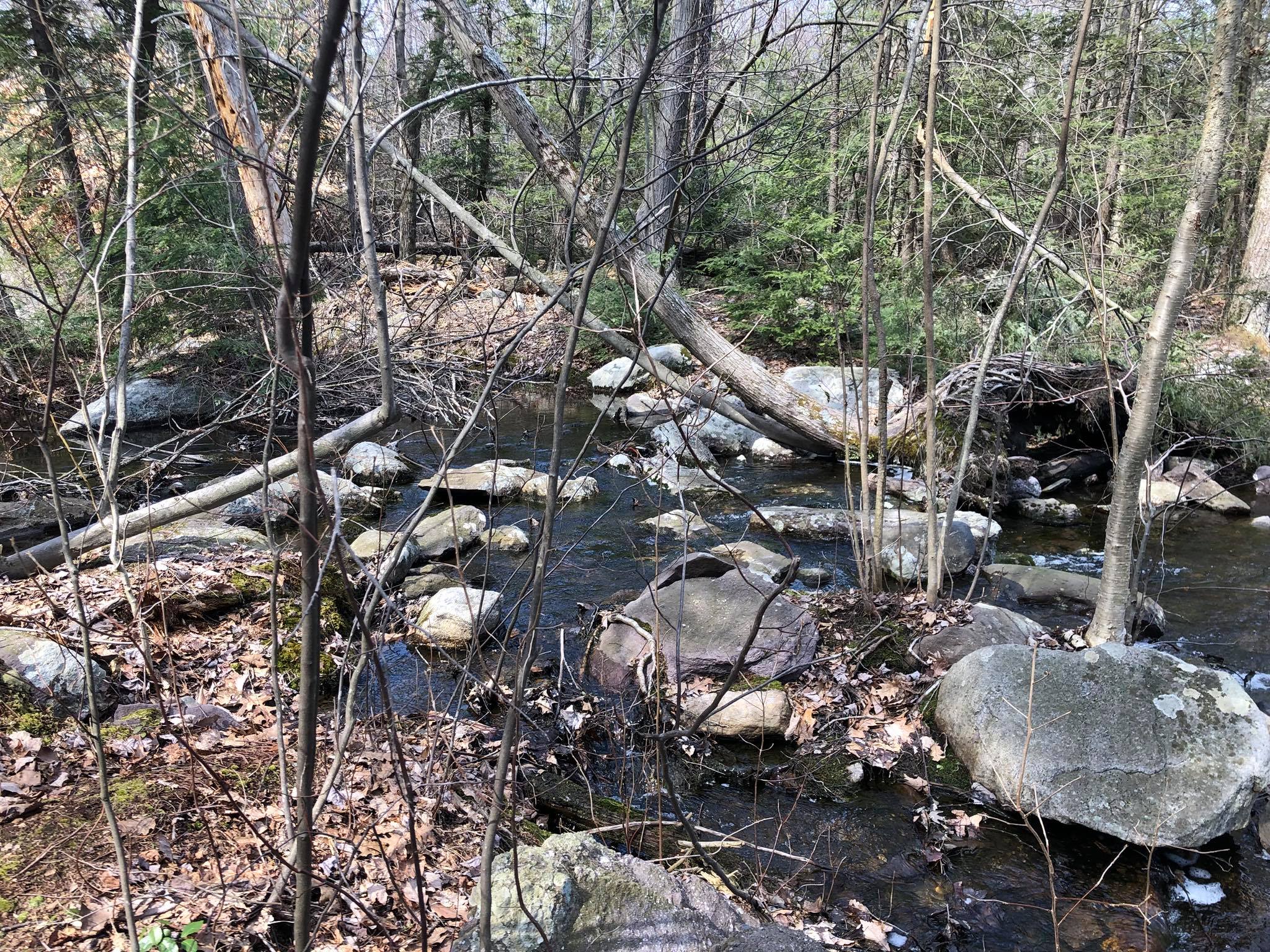
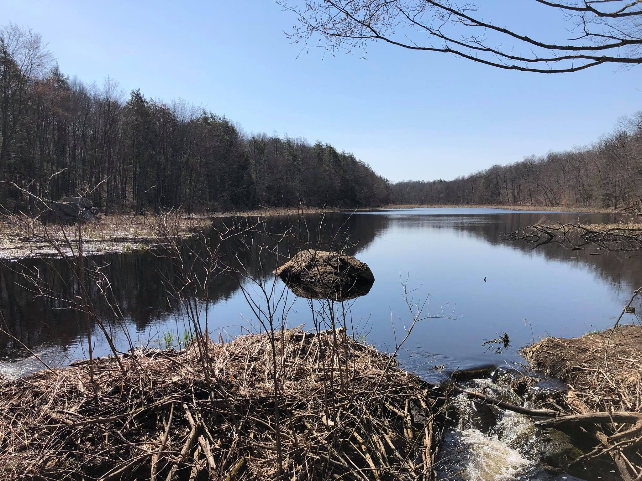
This 3-day, 2-night section of the Appalachian Trail begins at Mt. Peter (NY-17A) and ended at the Bear Mountain Bridge (Rt 9D), passing through Sterling Forest State Park and Bear Mountain State Park. Along the way, you pass the "Lemon Squeezer" - a narrow crack in a boulder that the trail goes through and the Bear Mountain Zoo, the lowest part of the entire Appalachian Trail. I had heard that bears frequent the shelters along this segment, probably due to poor food storage, so I stealth camped both nights - first on Arden Mountain and then on Black Mountain, which has views of the New York City skyline in the distance. Sunset from Black Mountain"Lemon Squeezer""Lemon Squeezer"Arden Mountain
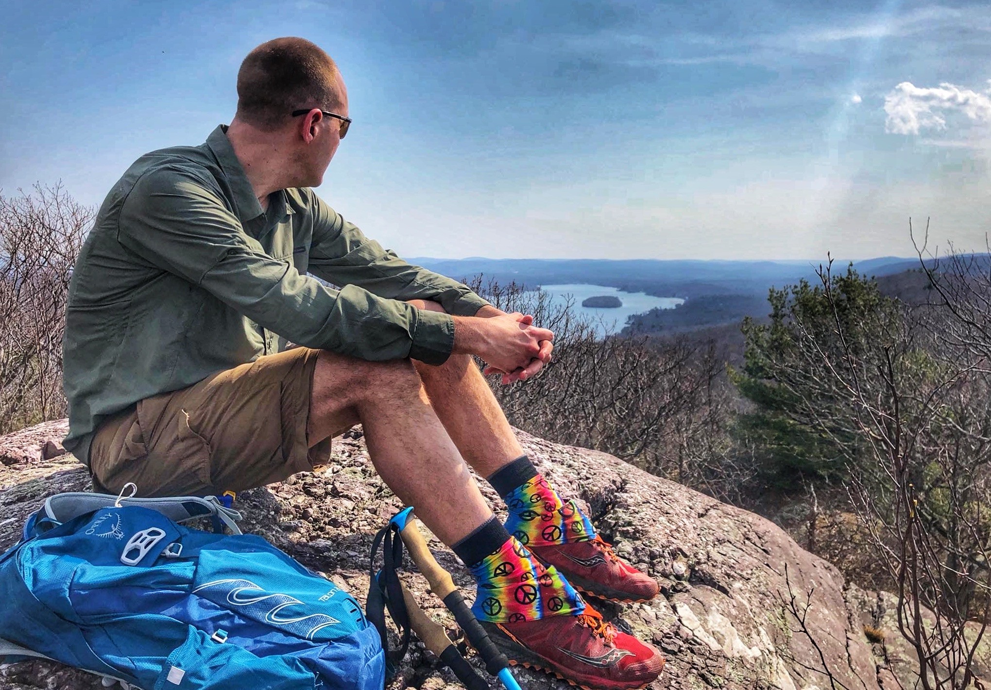
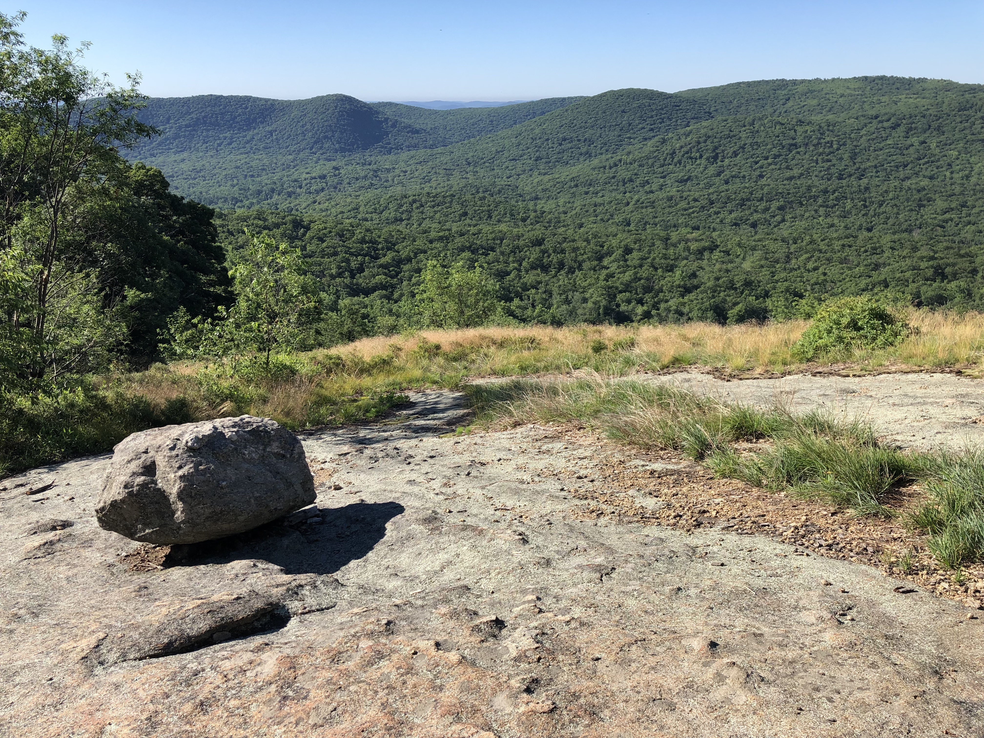
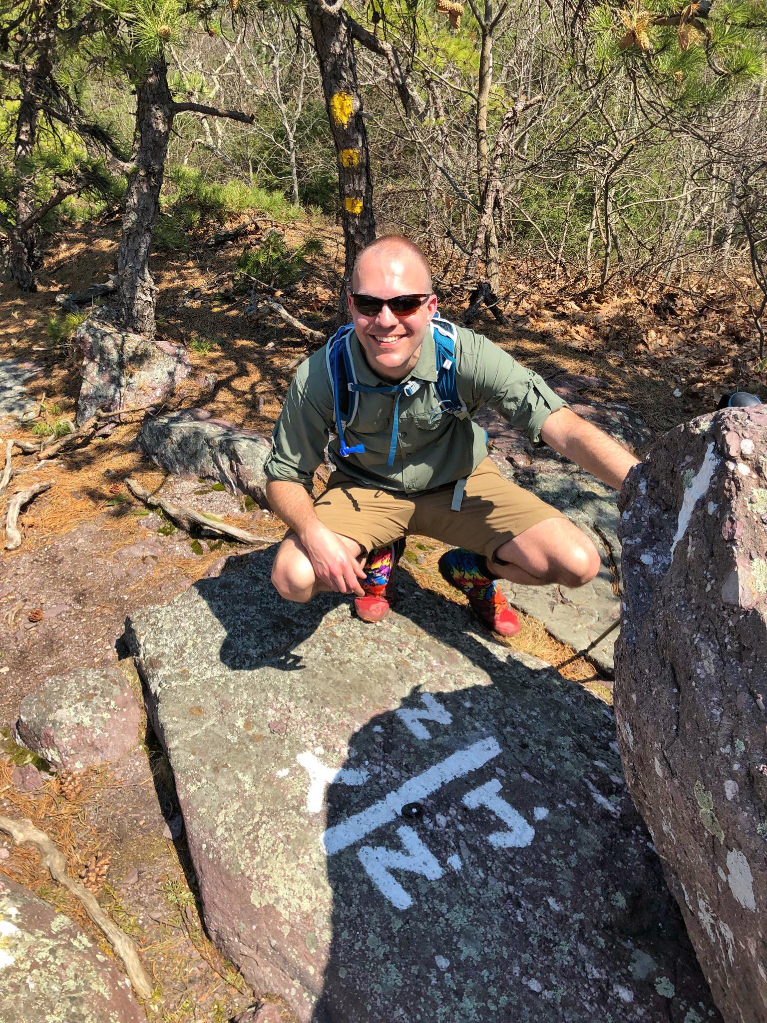
This section of the AT starts at the base of the Stairway to Heaven (Rt 94) in Vernon, NJ, crosses the NY/NJ state line, and ends in at Rt 17A in Warwick, NY. I did this as a day hike, but it's a nice section to backpack, too.
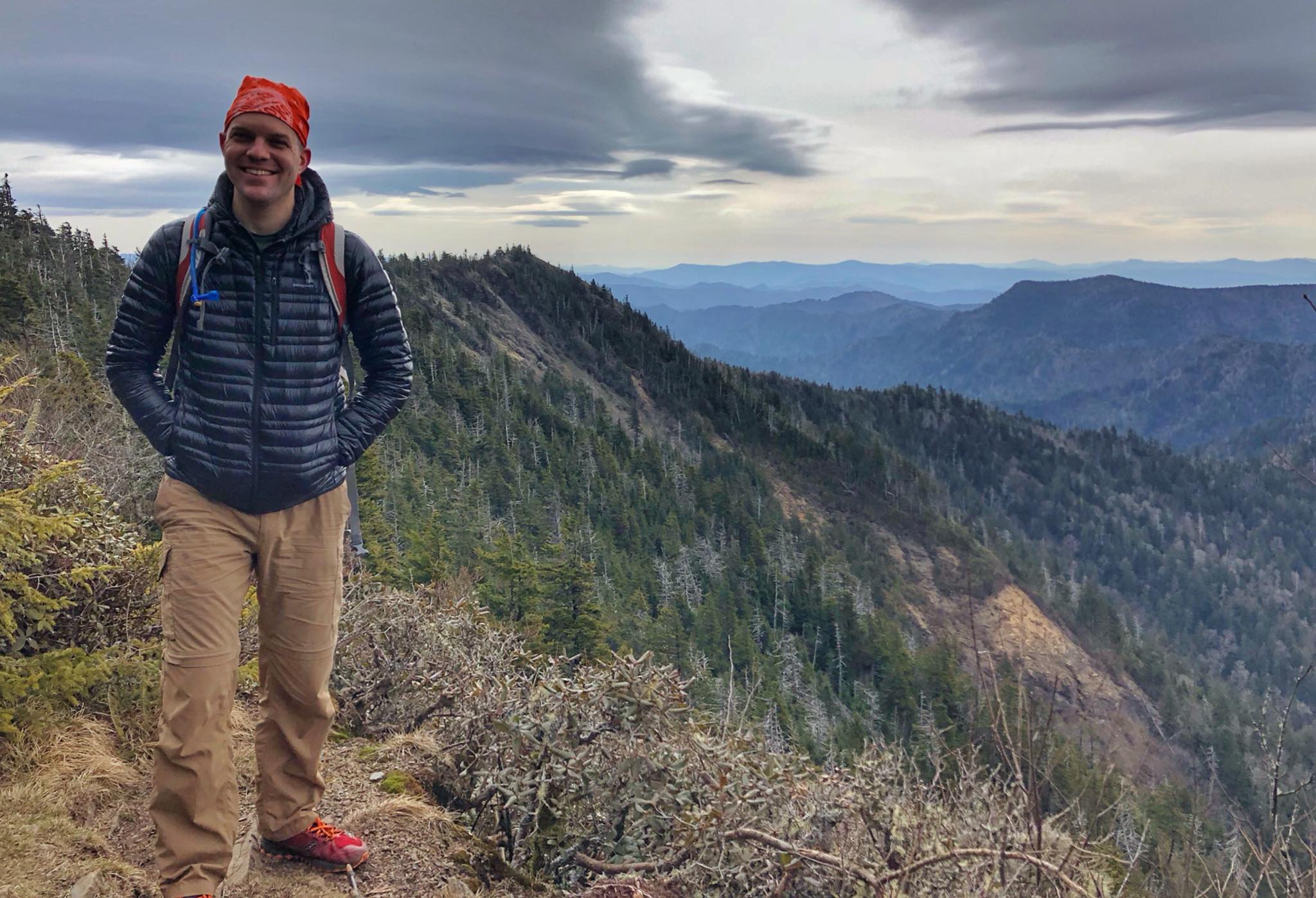
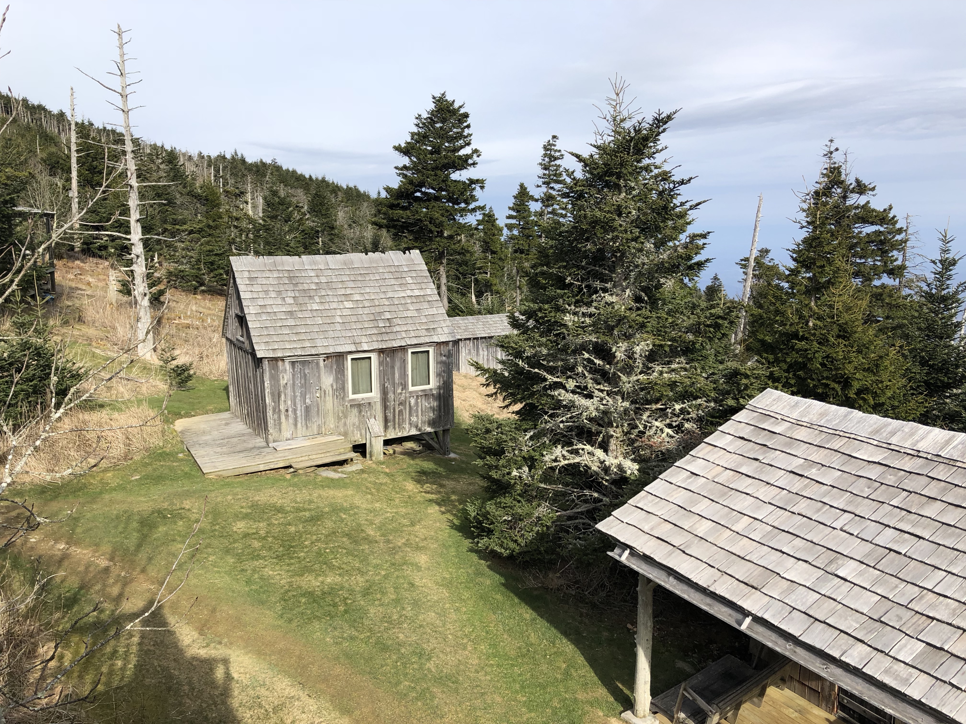
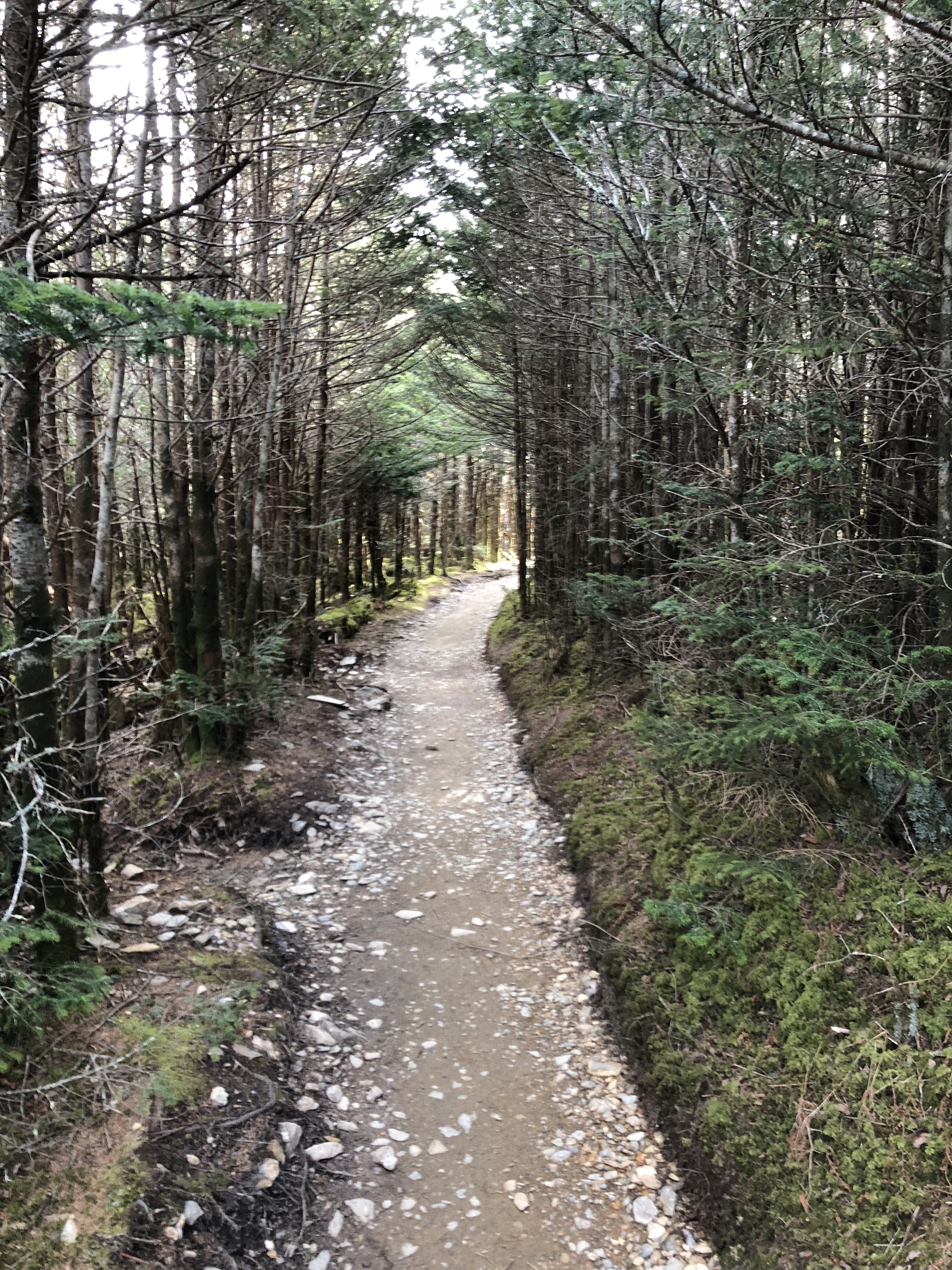
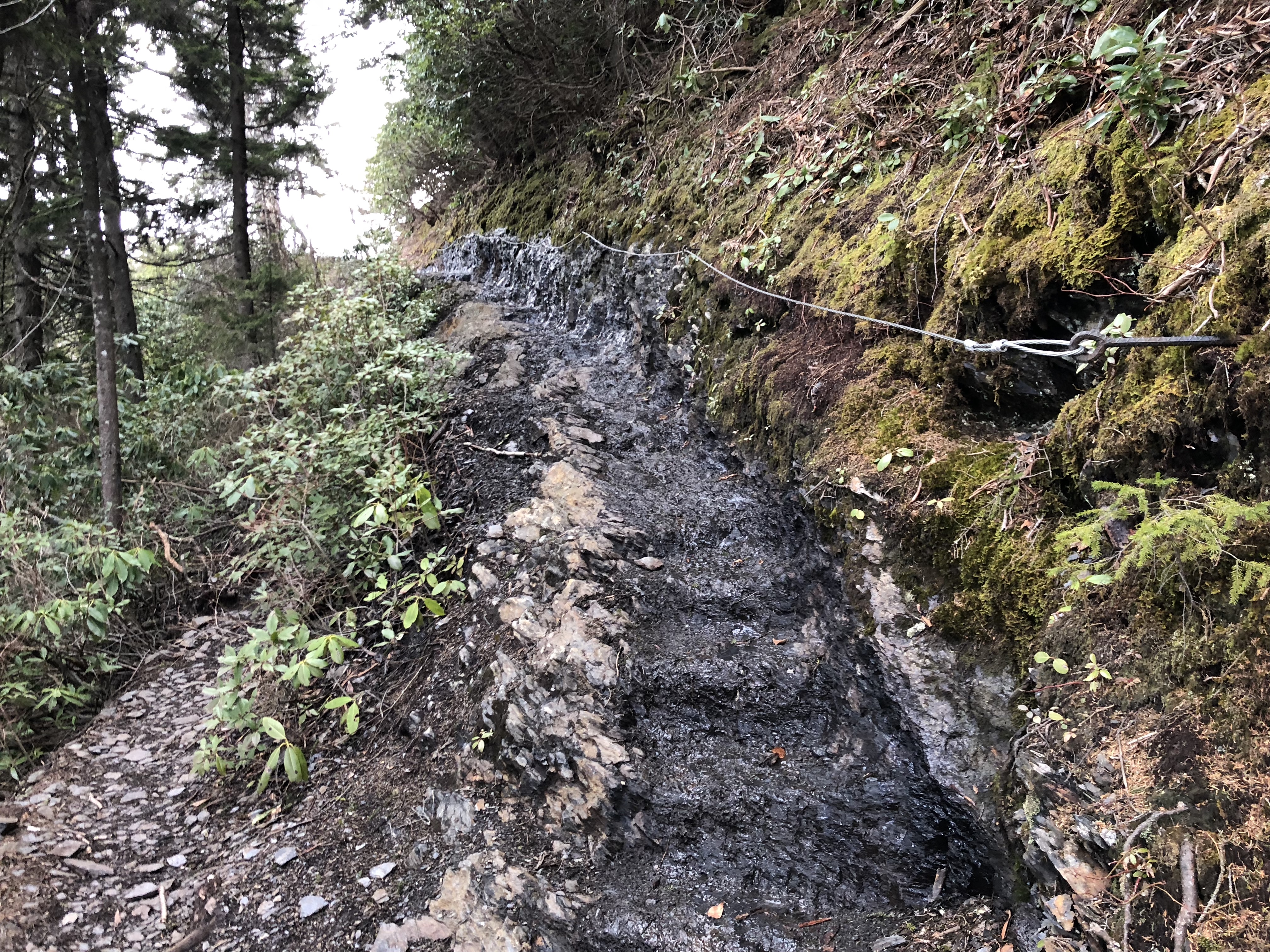
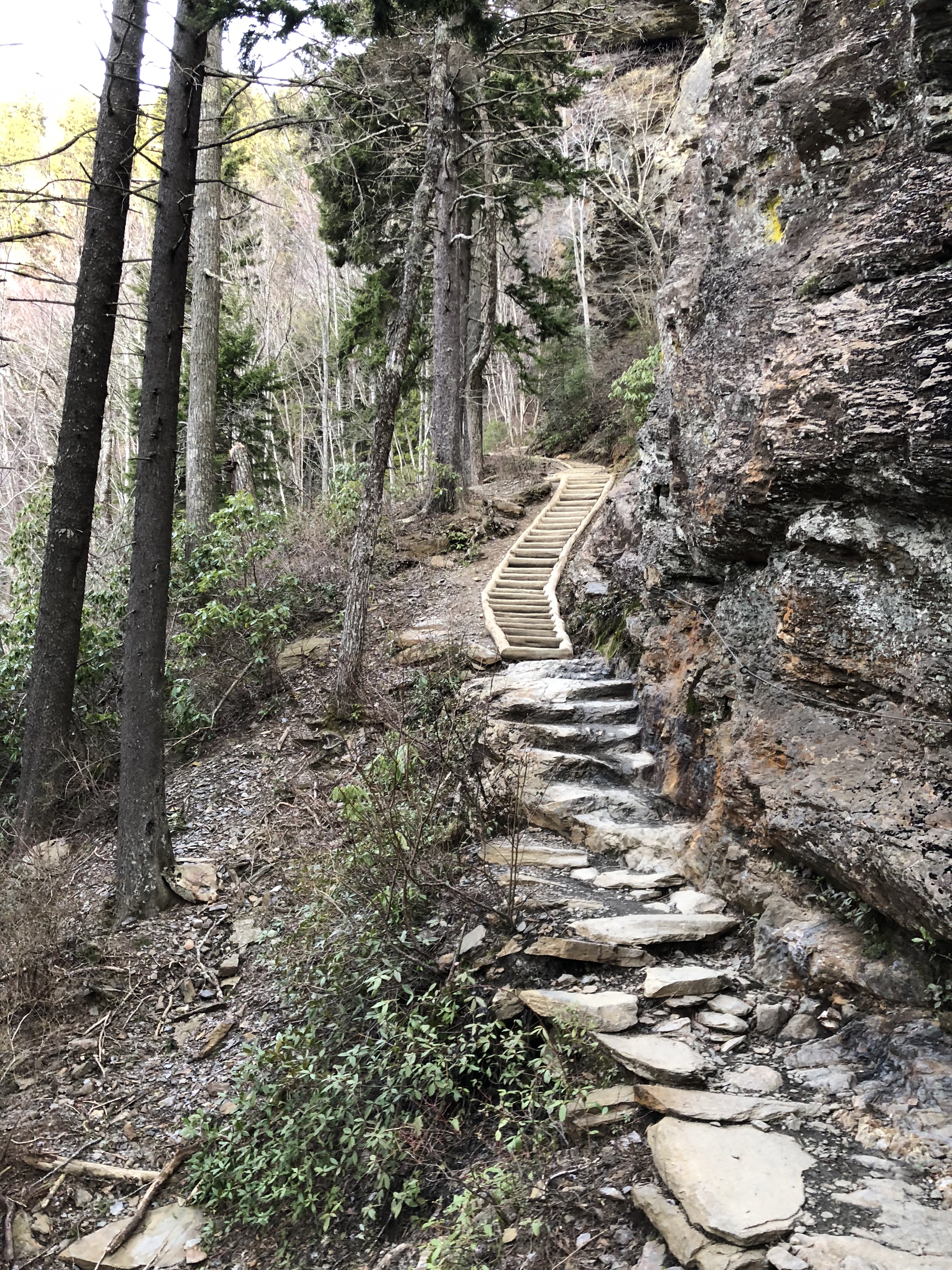
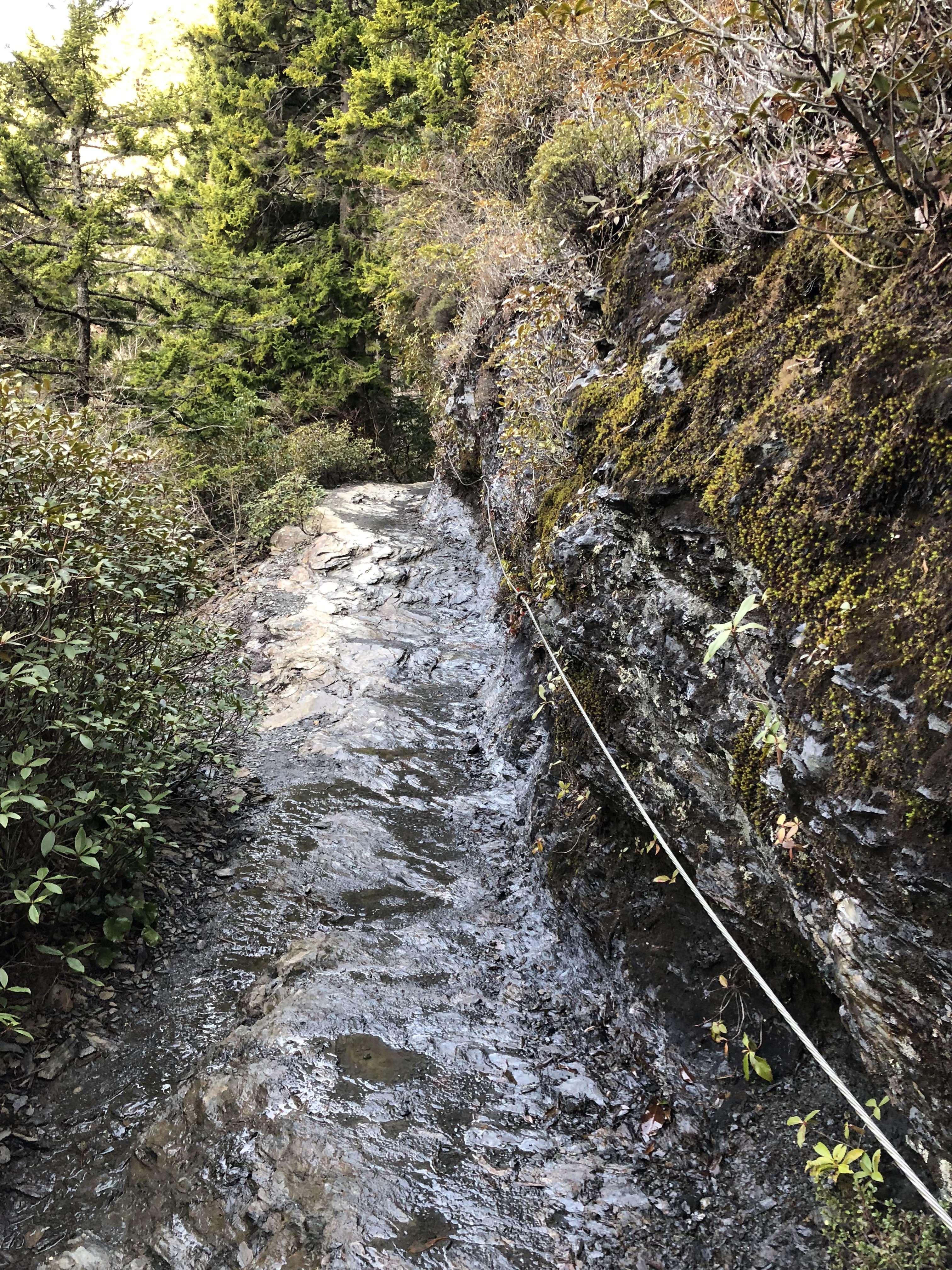
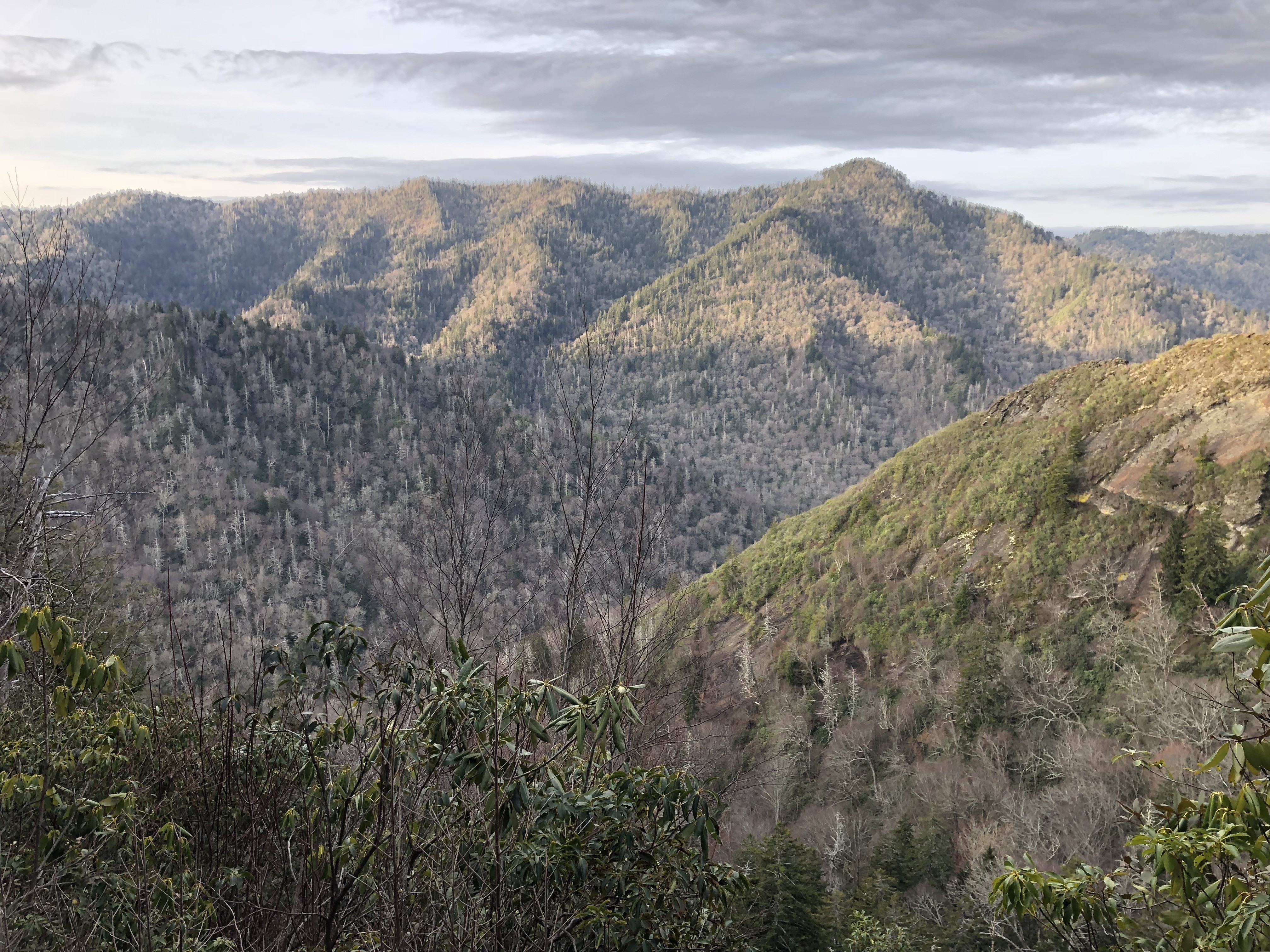
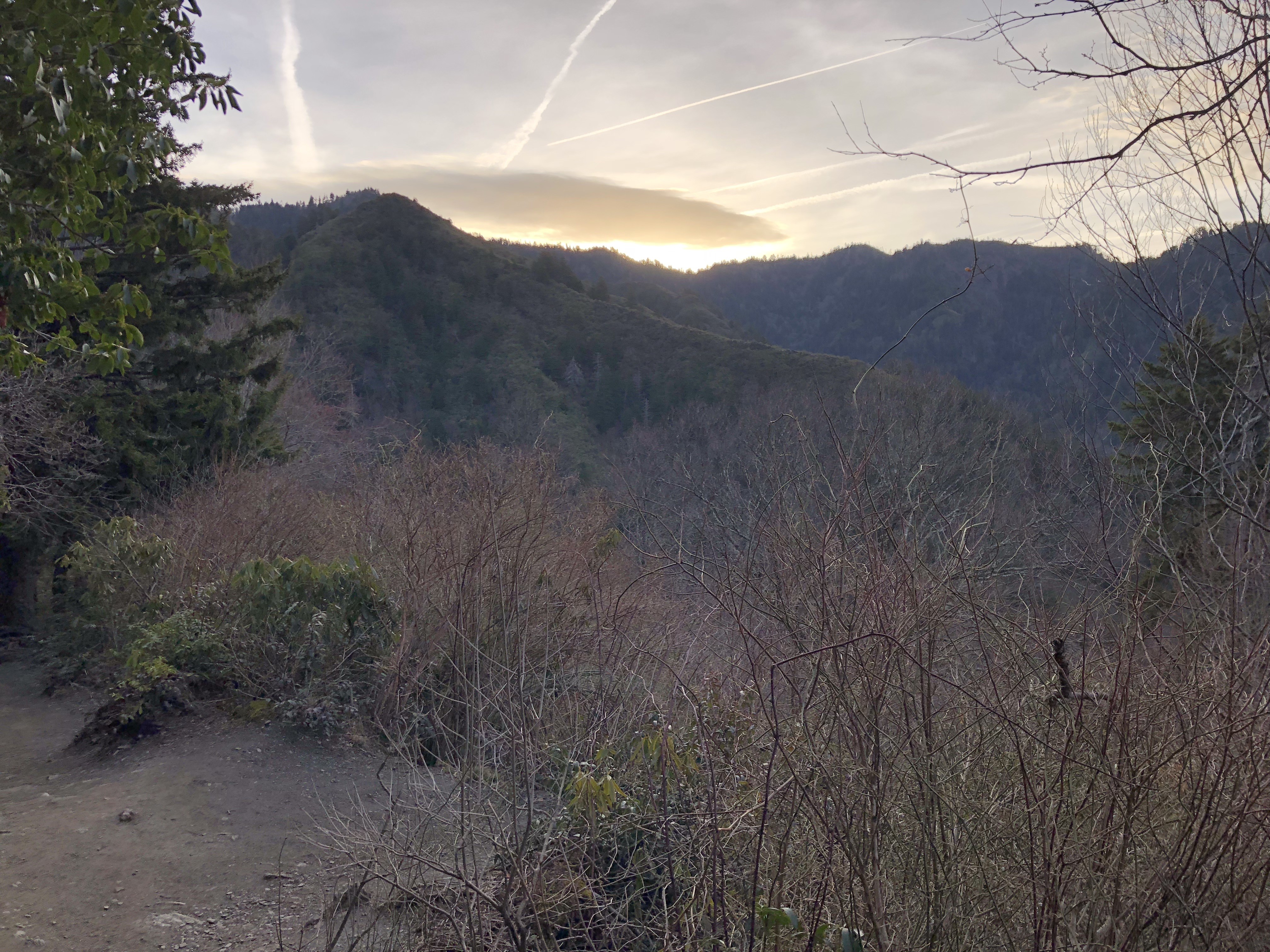
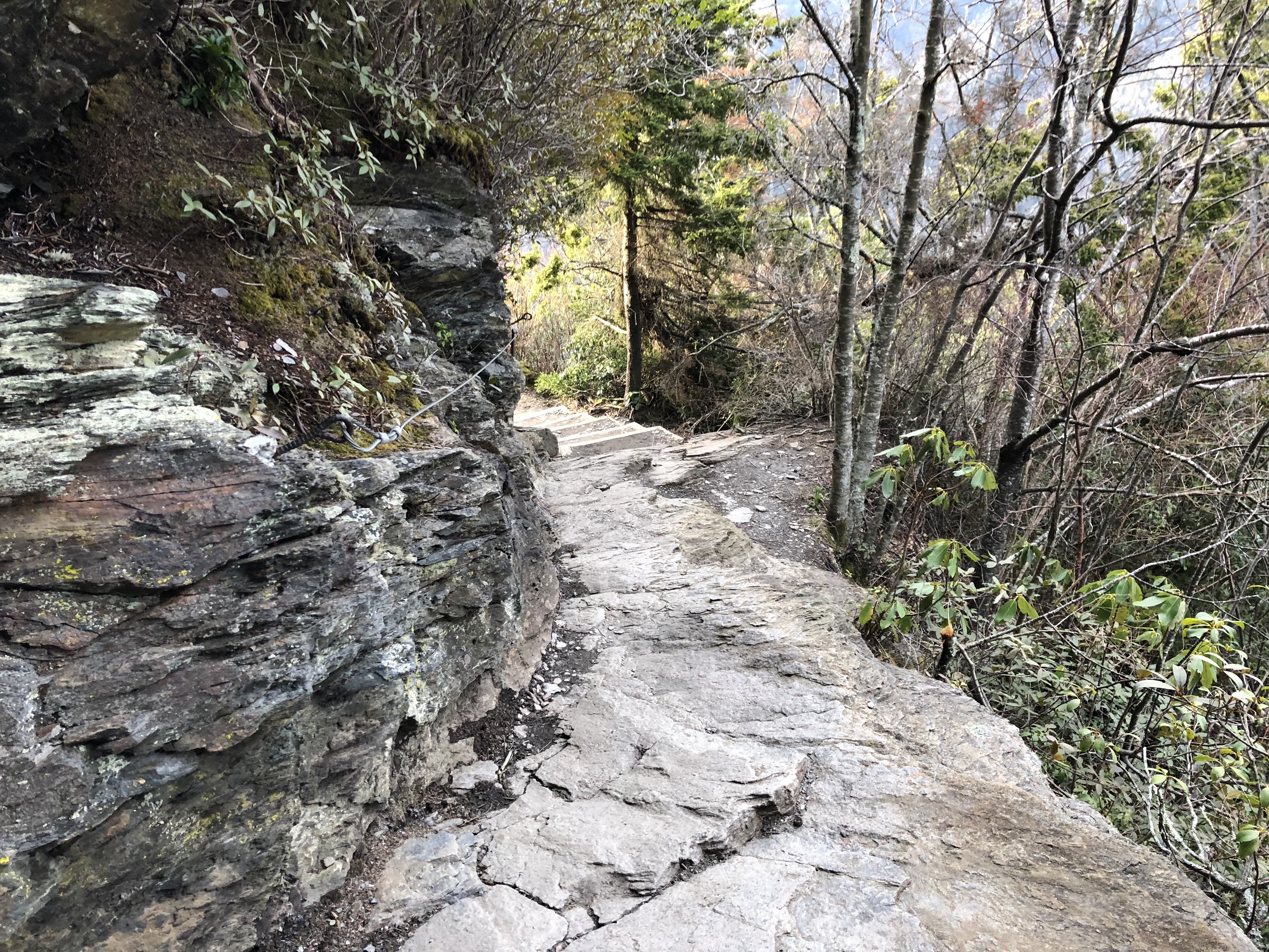
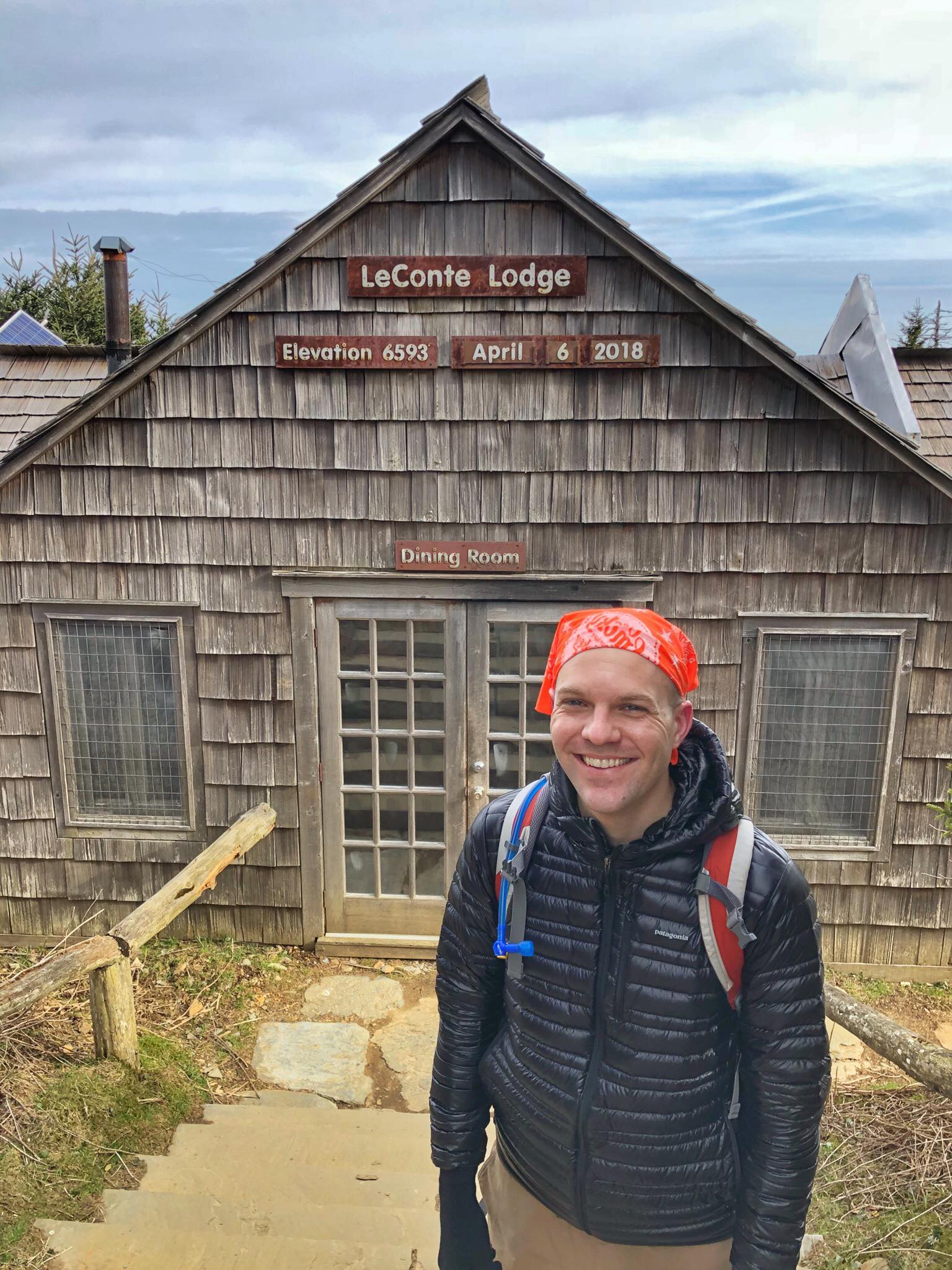
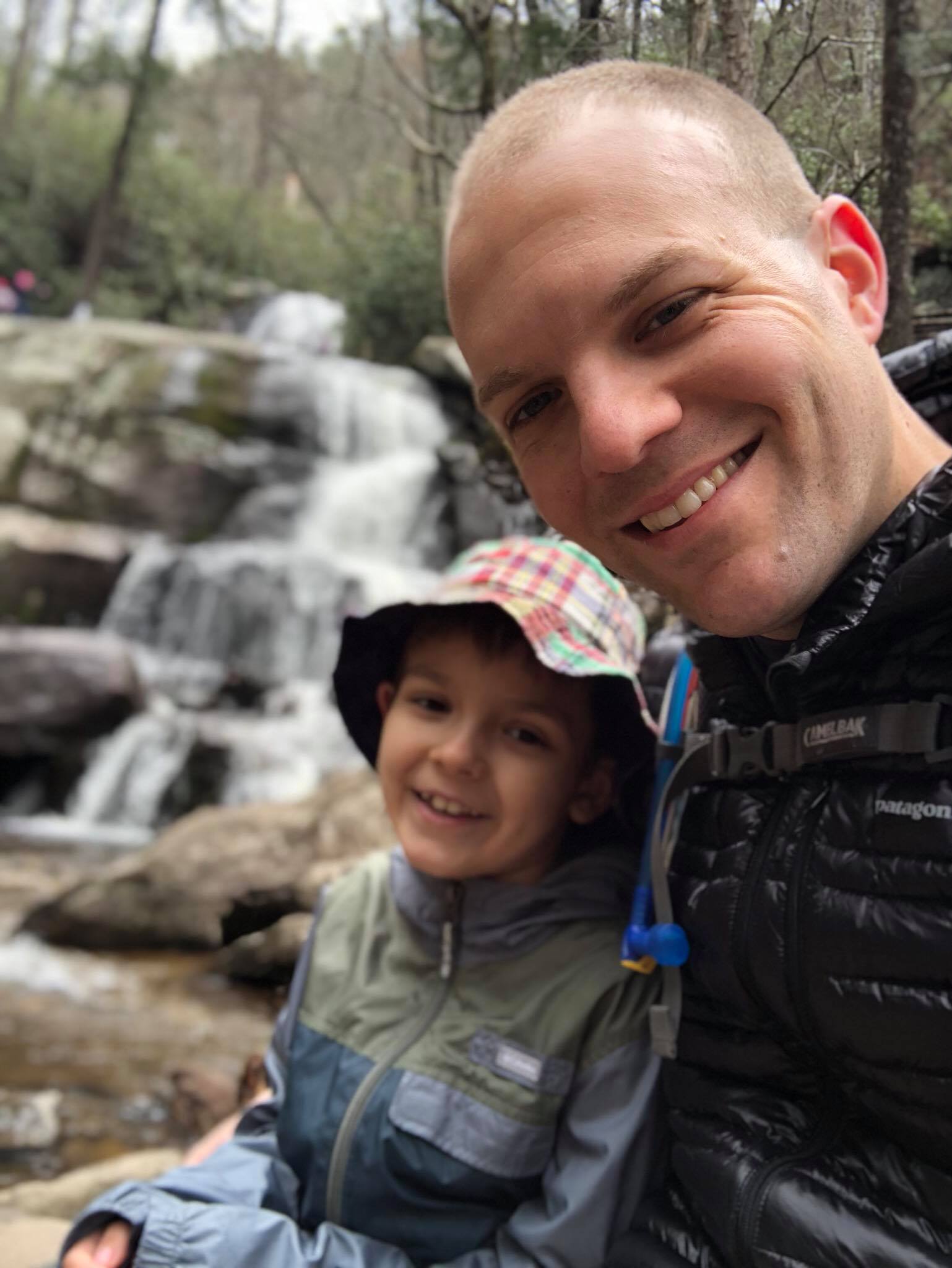
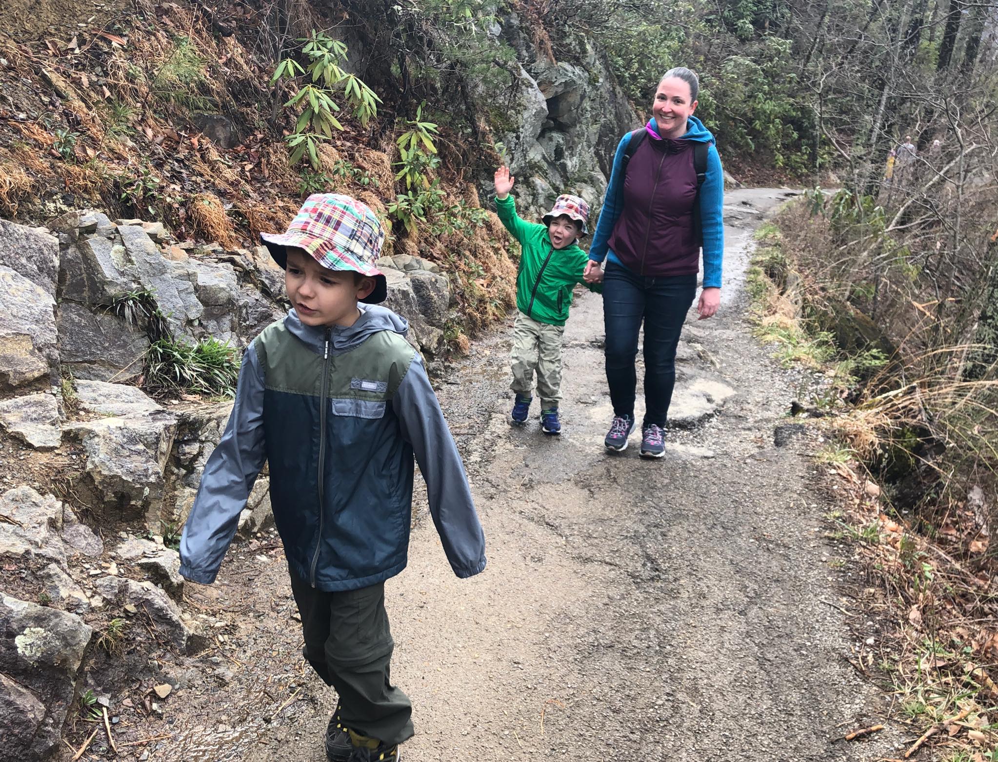
The 5.5 mile hike to the top of Mt. LeConte at 6,593 feet via the Alum Cove Trail is a classic Smokies hike. Enjoy coffee or hot chocolate at the Mt. LeConte Lodge at the summit, or better yet - reserve a cabin *well* in advance and stay overnight without needing to carry a tent or sleeping bag. Start at the Alum Cave parking area on Newfound Gap Road, 8.5 miles south of Park Headquarters and Sugarlands Visitor’s Center in Gatlinburg. Get there early because this trail is extremely popular. Llamas follow the Trillium Gap Trail on Mondays, Wednesdays, and Fridays to resupply the lodge at the summit.
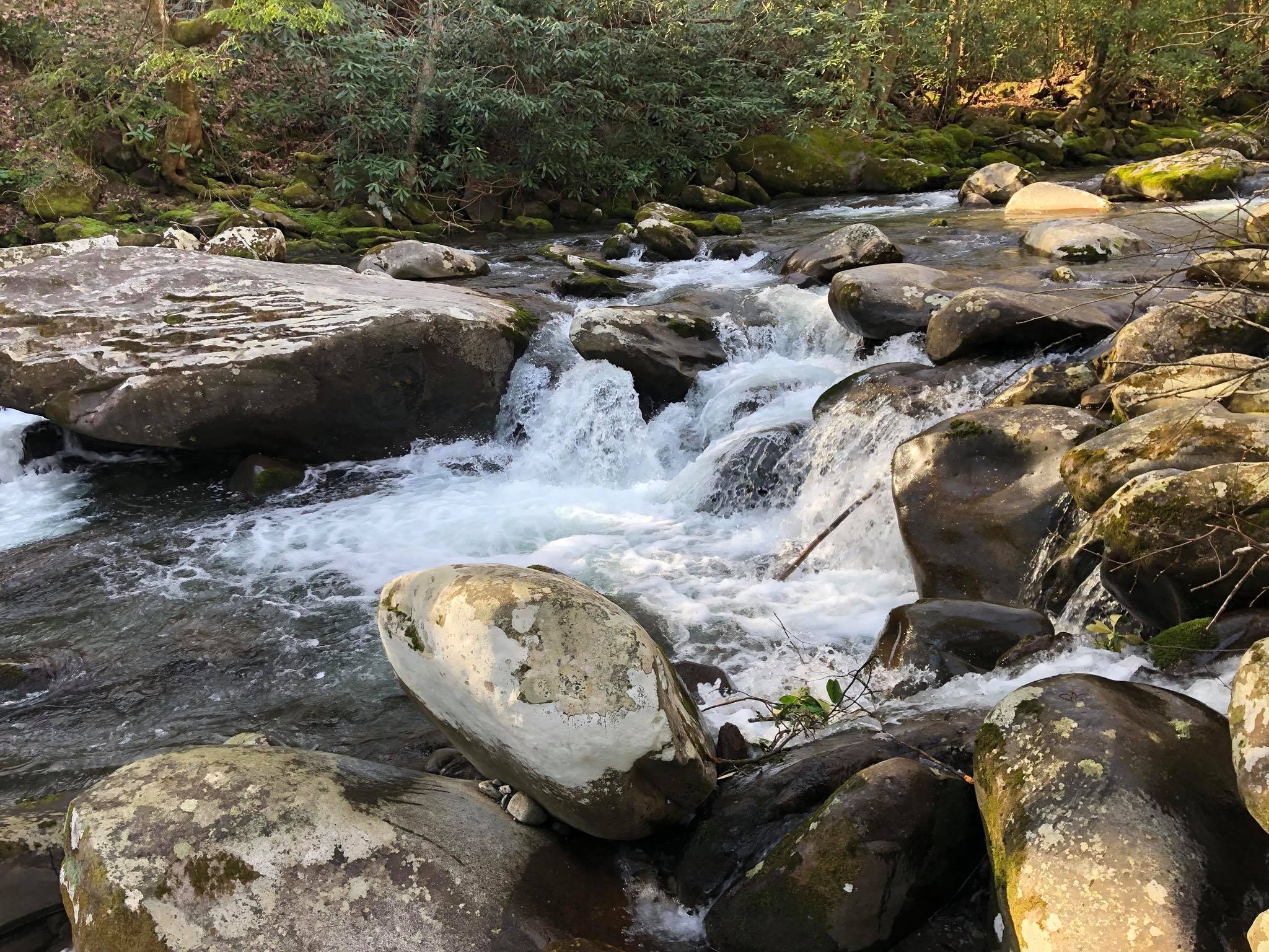
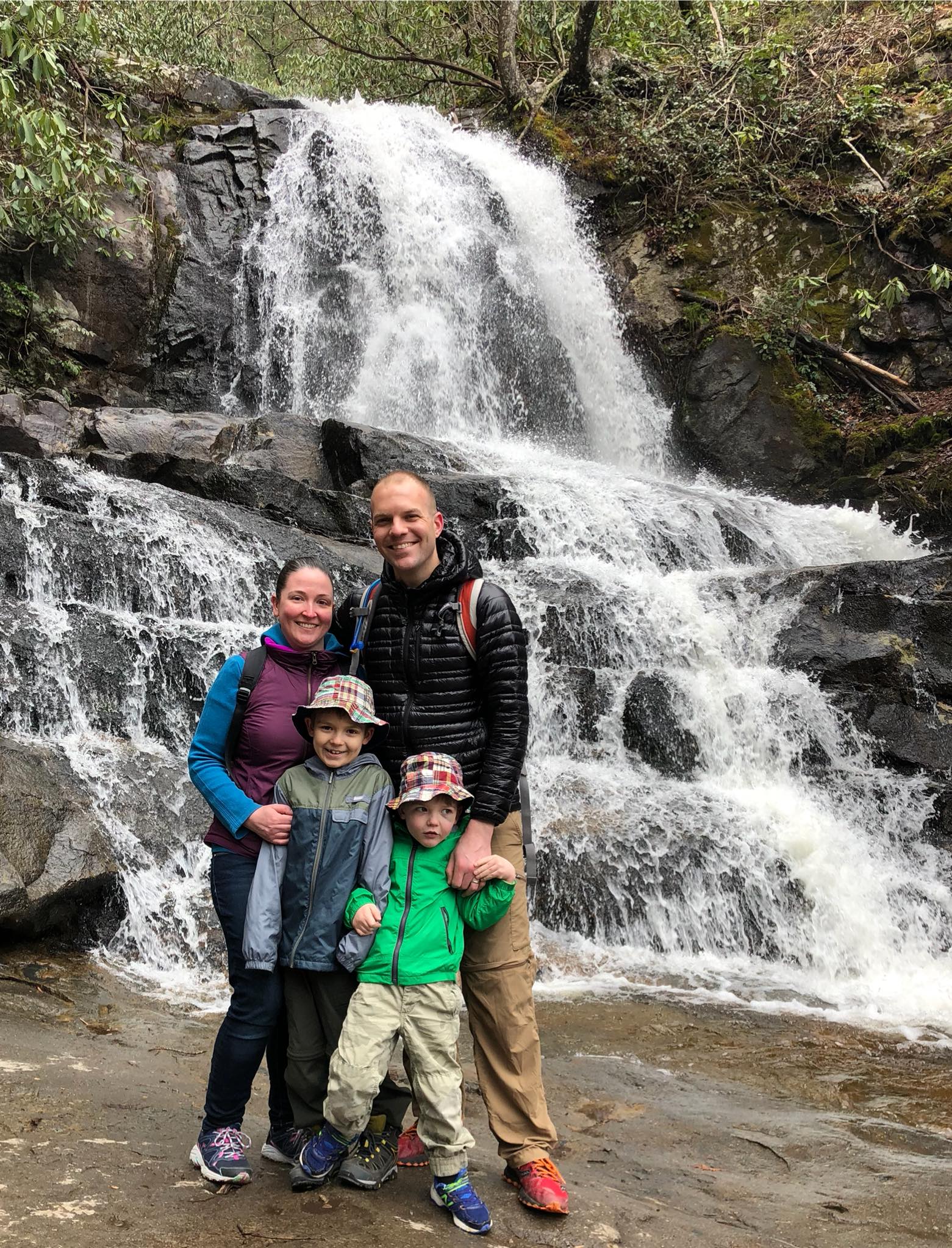
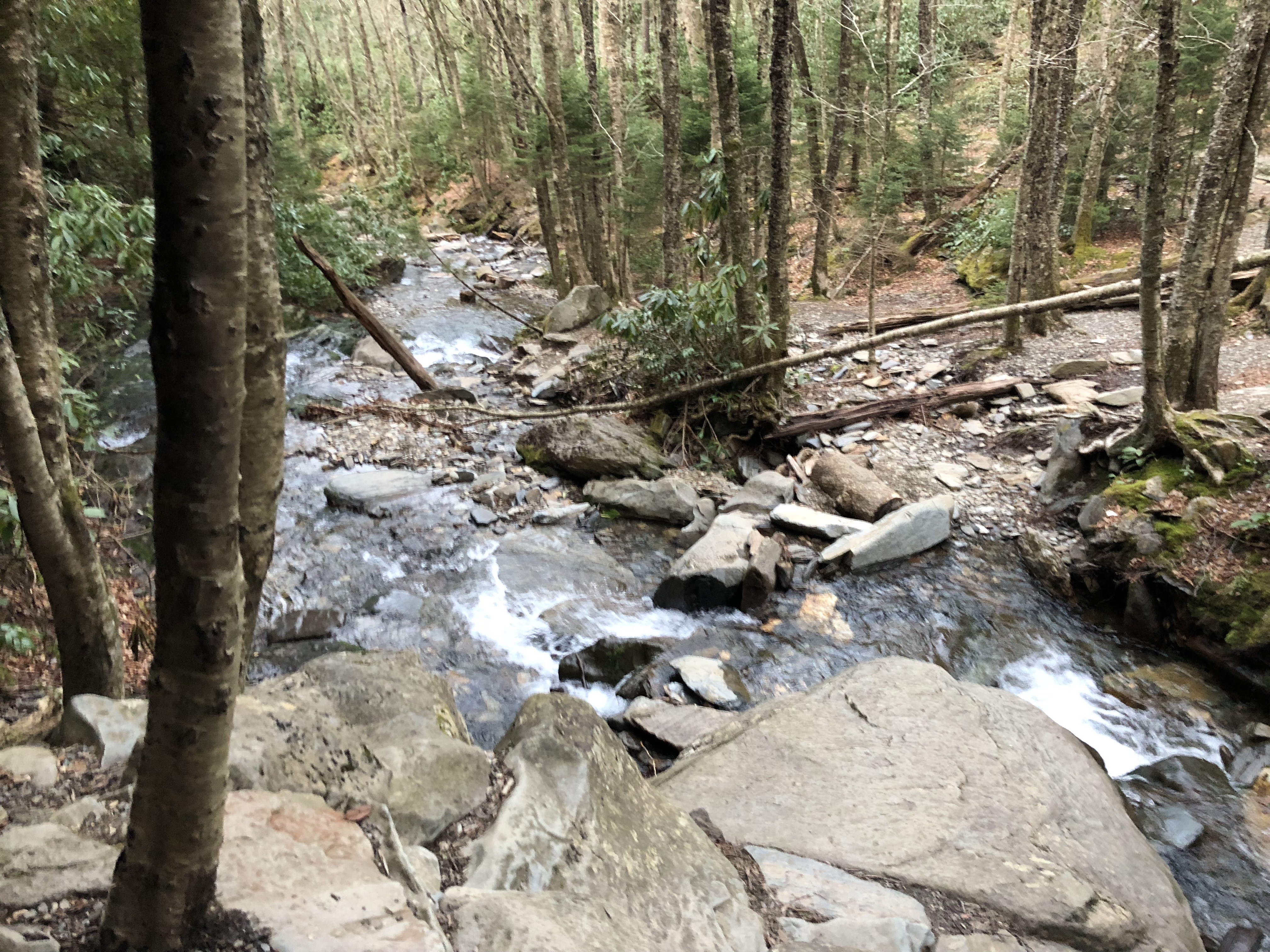
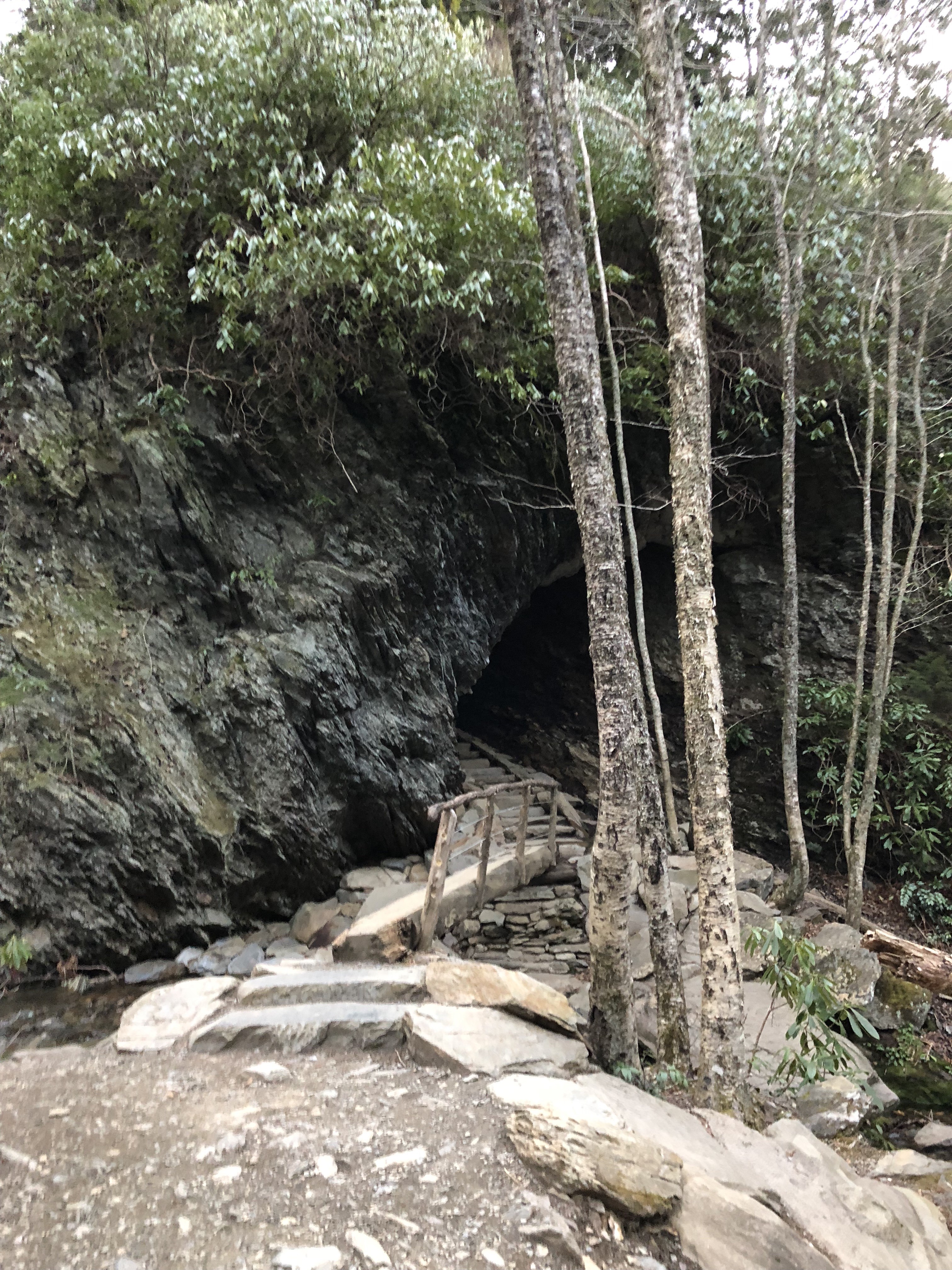
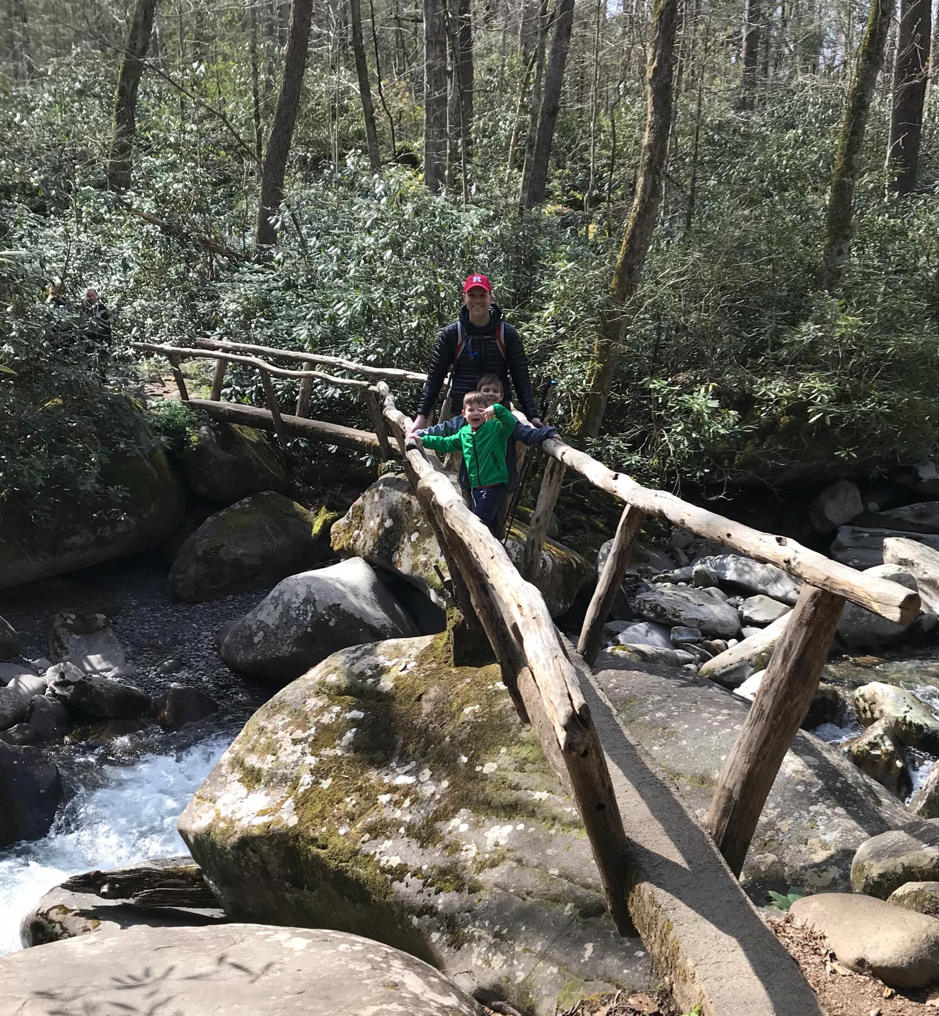
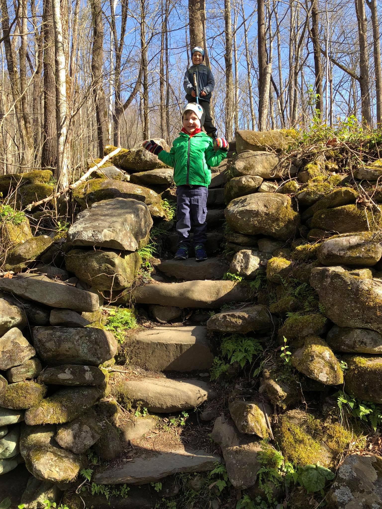
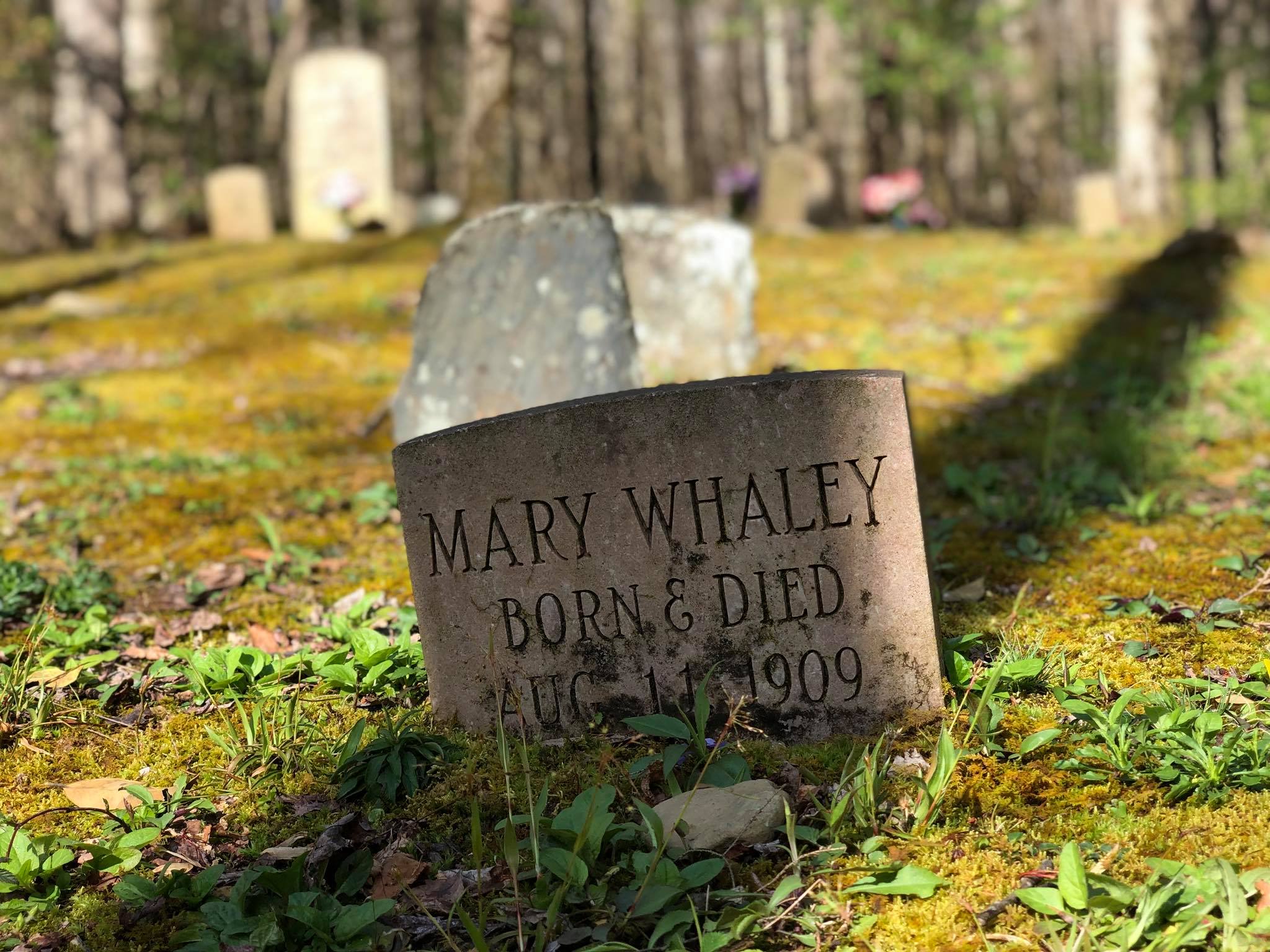
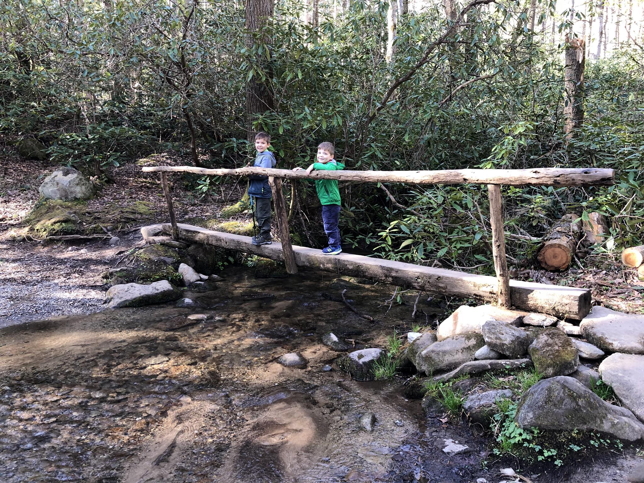
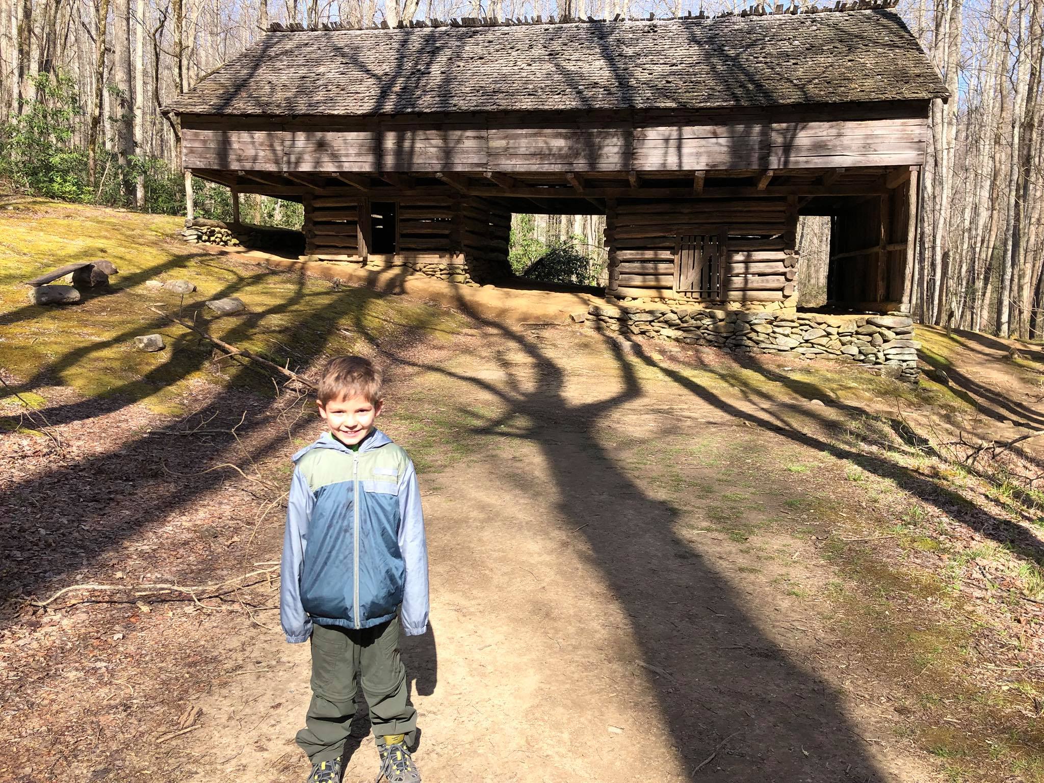
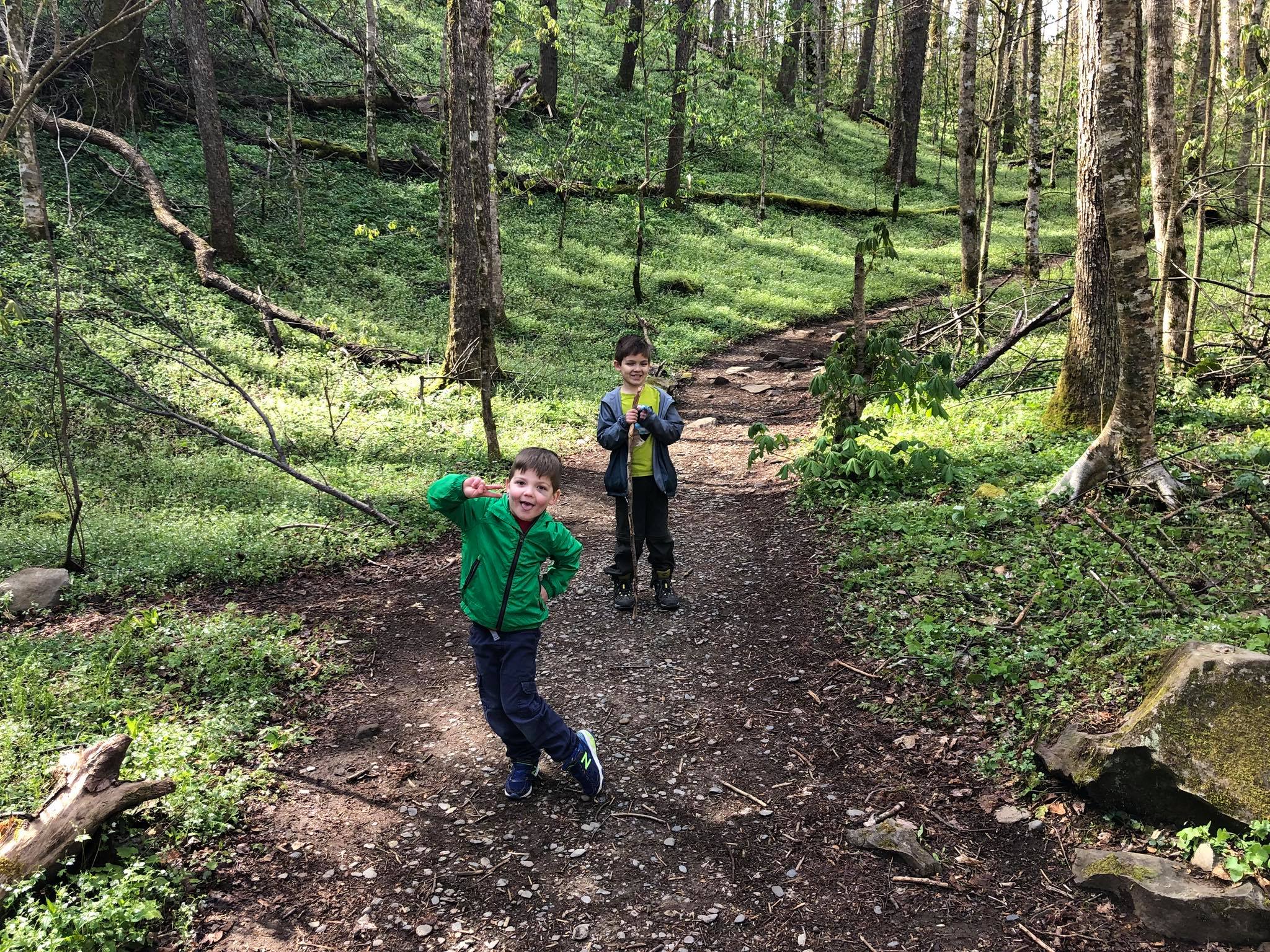
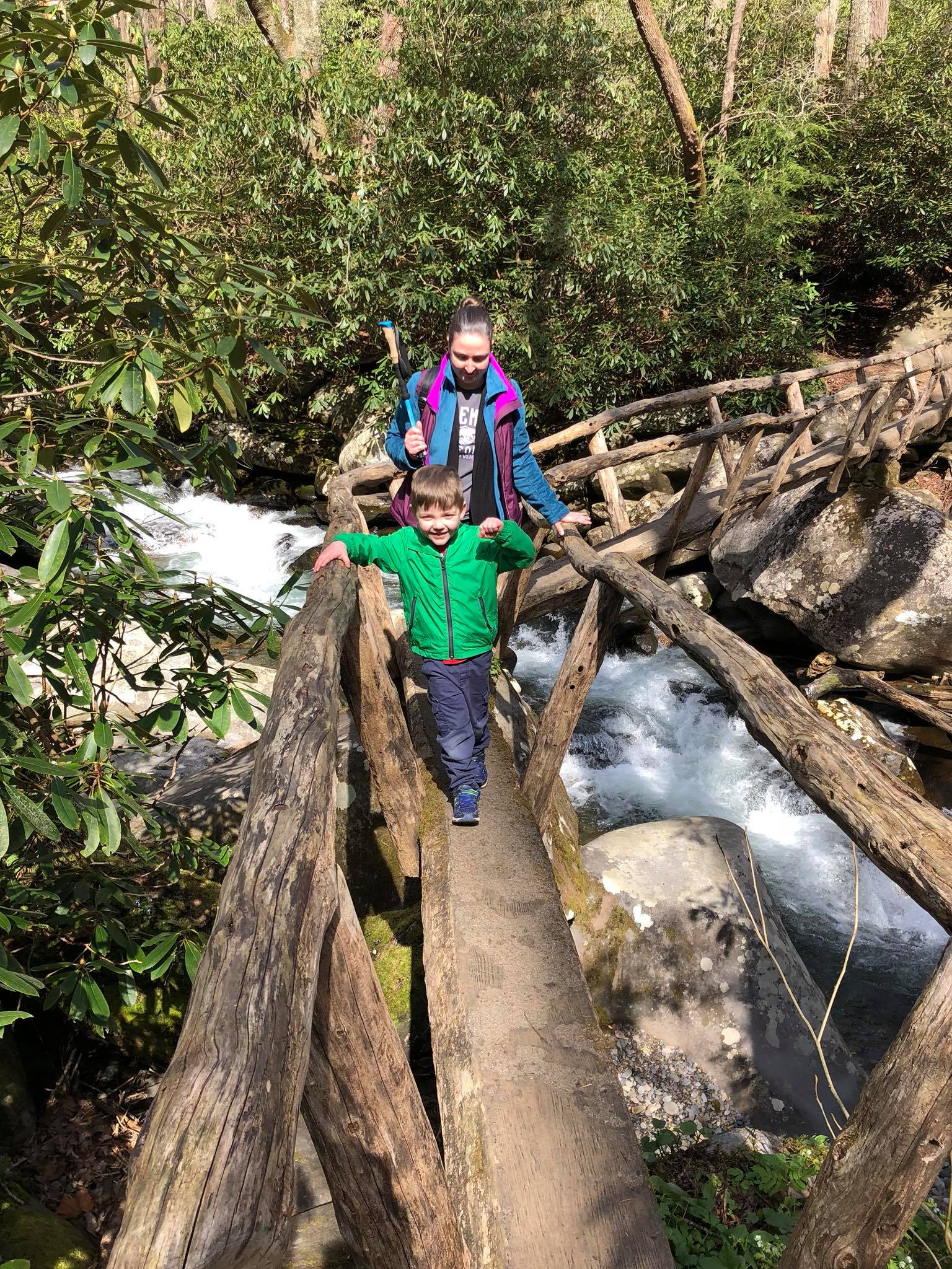
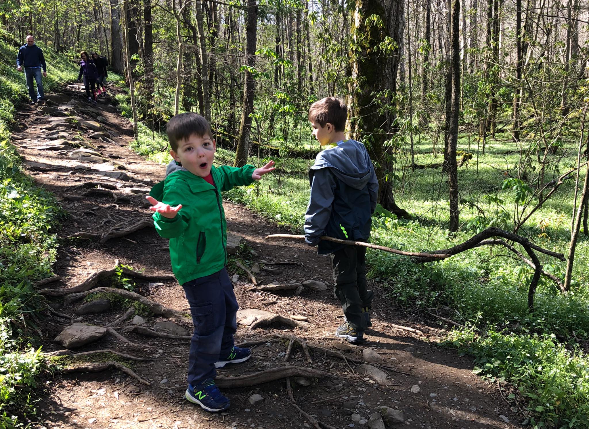
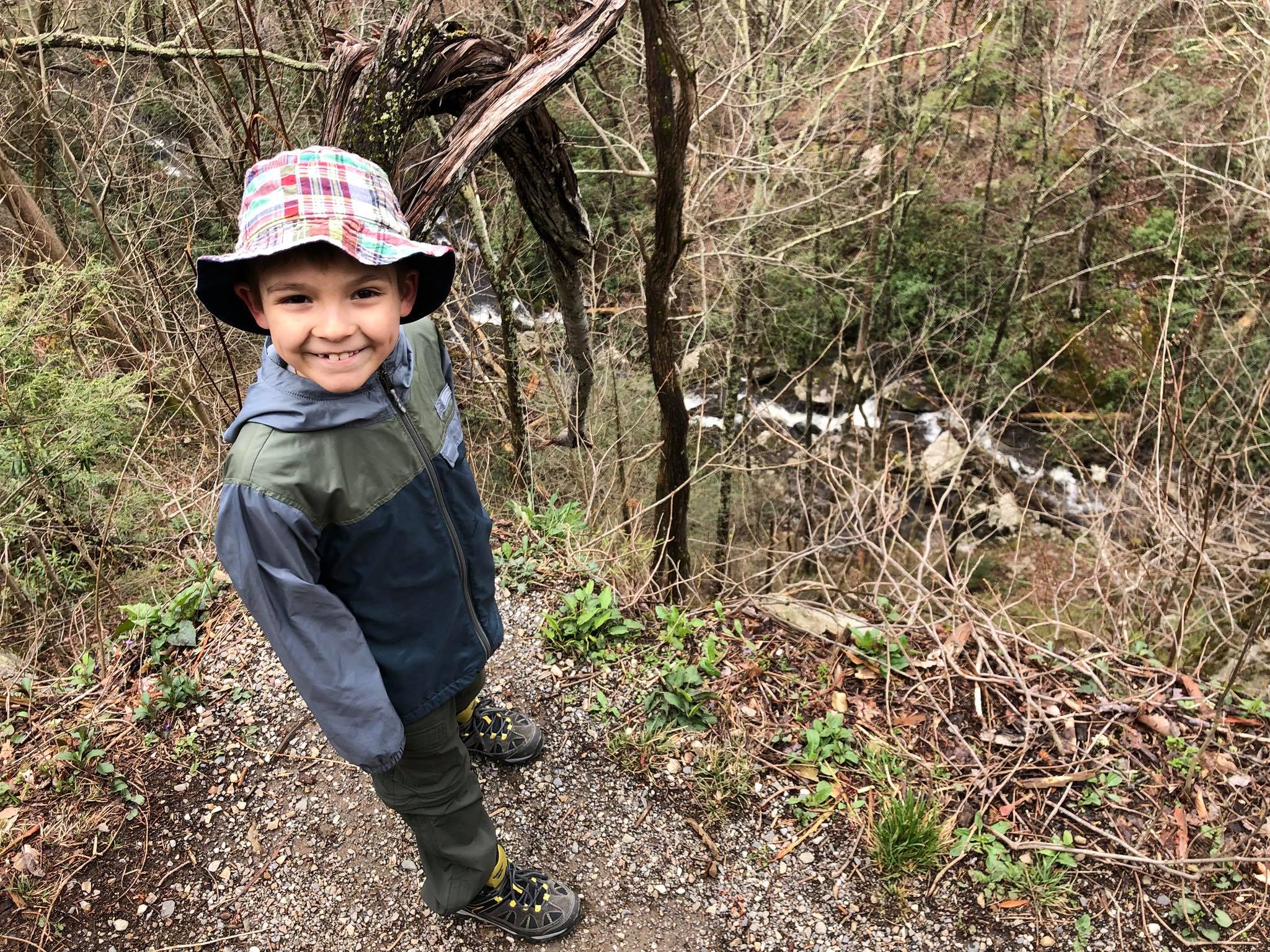
The two mile hike along the Porters Creek Trail to the Fern Branch Falls includes 700 feet of elevation gain and offers a great mix of history and nature. Along the way, you'll pass the remnants of a farmstead, a cemetery, a historic barn and cabin, several foot bridges, wildflowers, and finally the 60-foot Fern Branch Falls. The trail continues on for another 1.7 miles, but we turned around at the falls. On our visit to the Smoky Mountains, we stayed in Gatlinburg, Tennessee which is right outside the park boundaries.
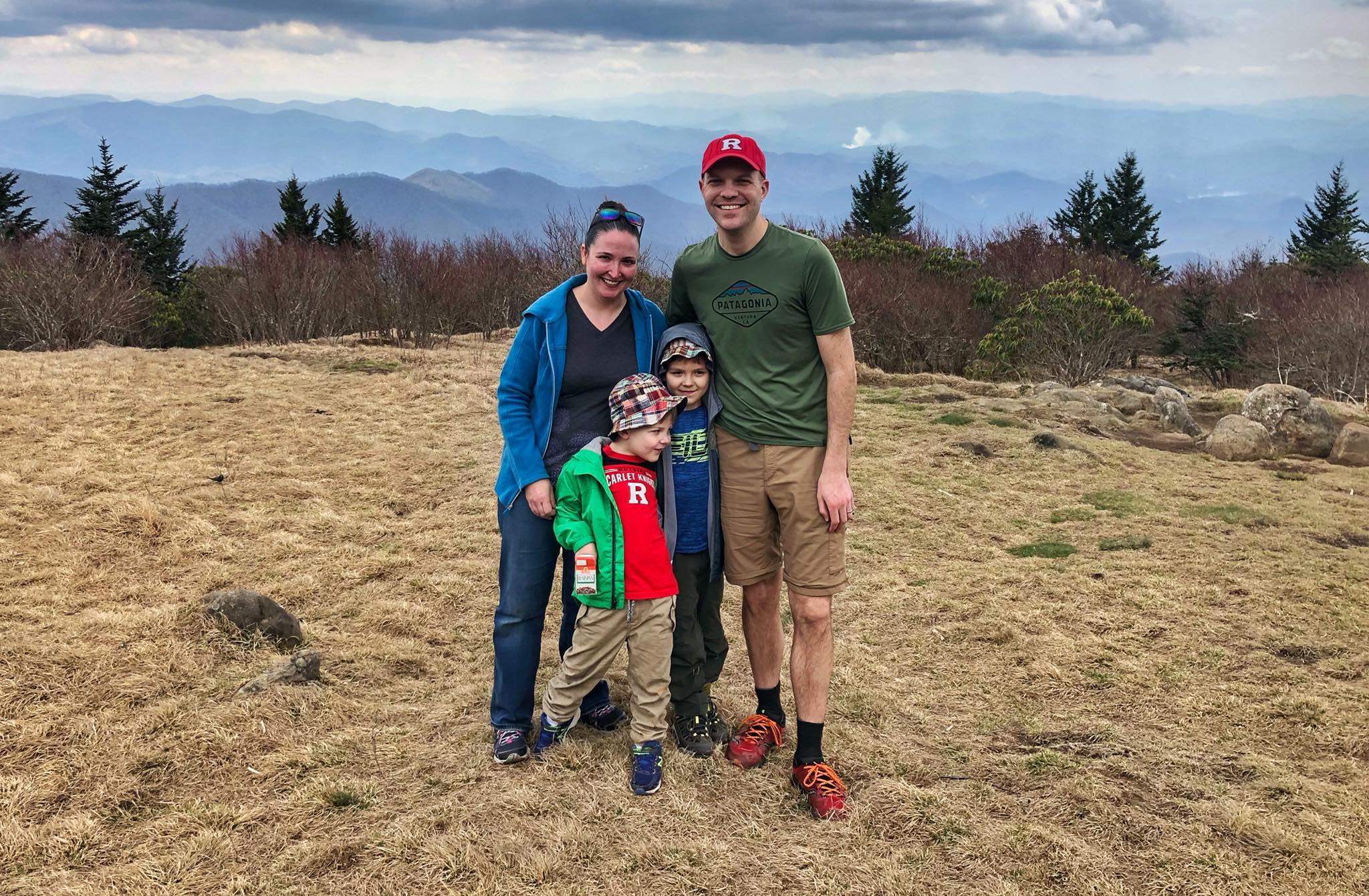
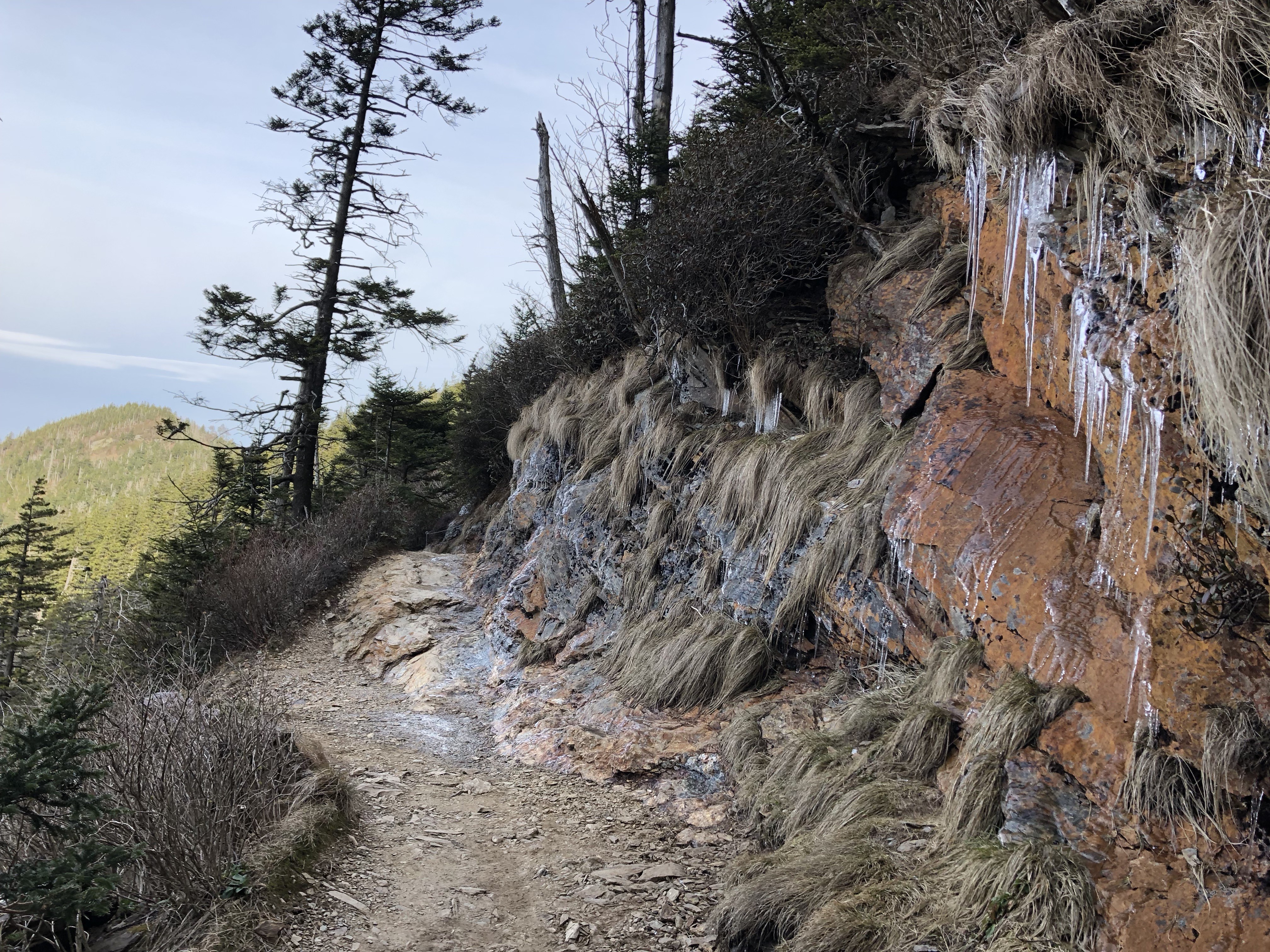
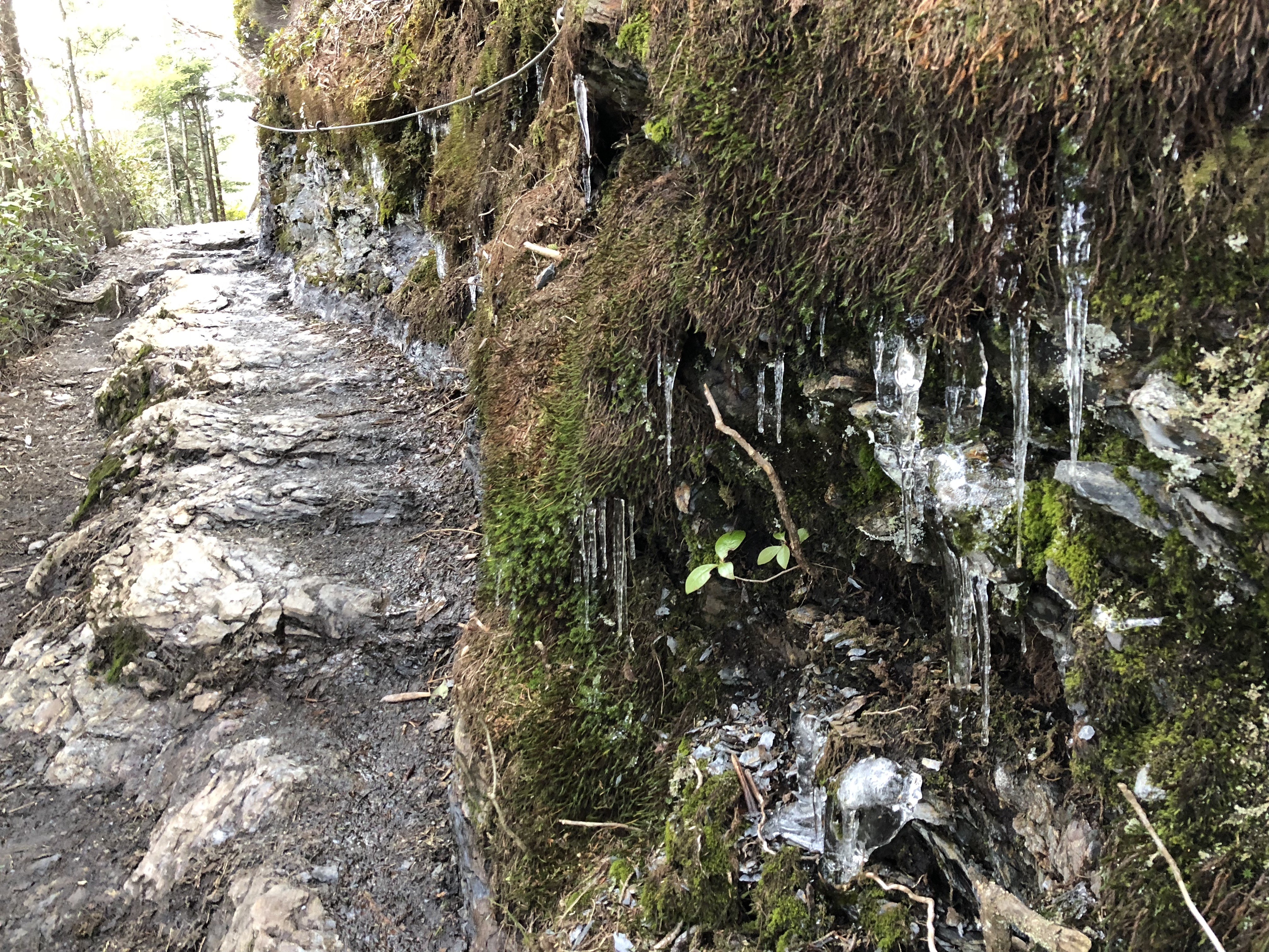
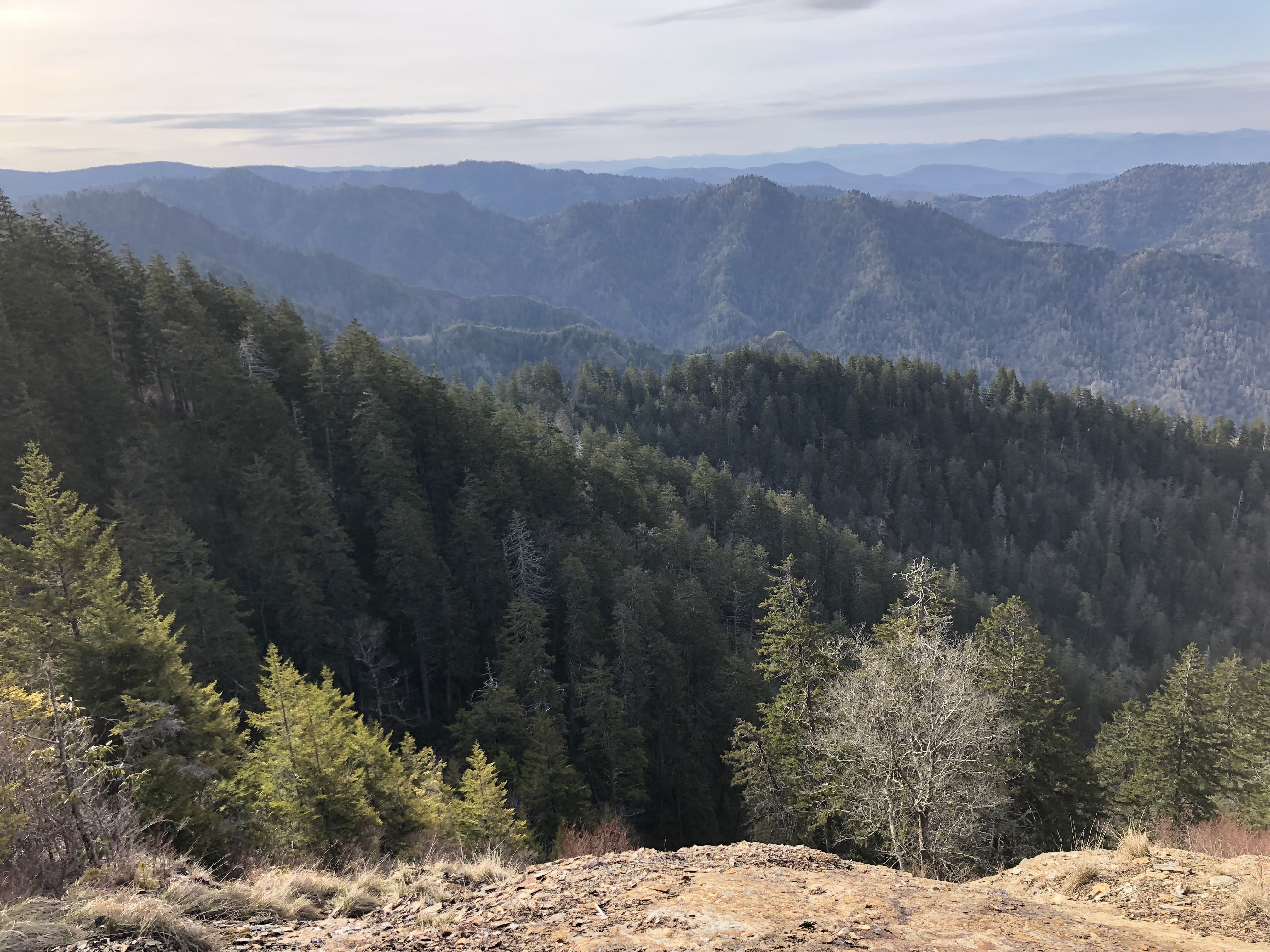
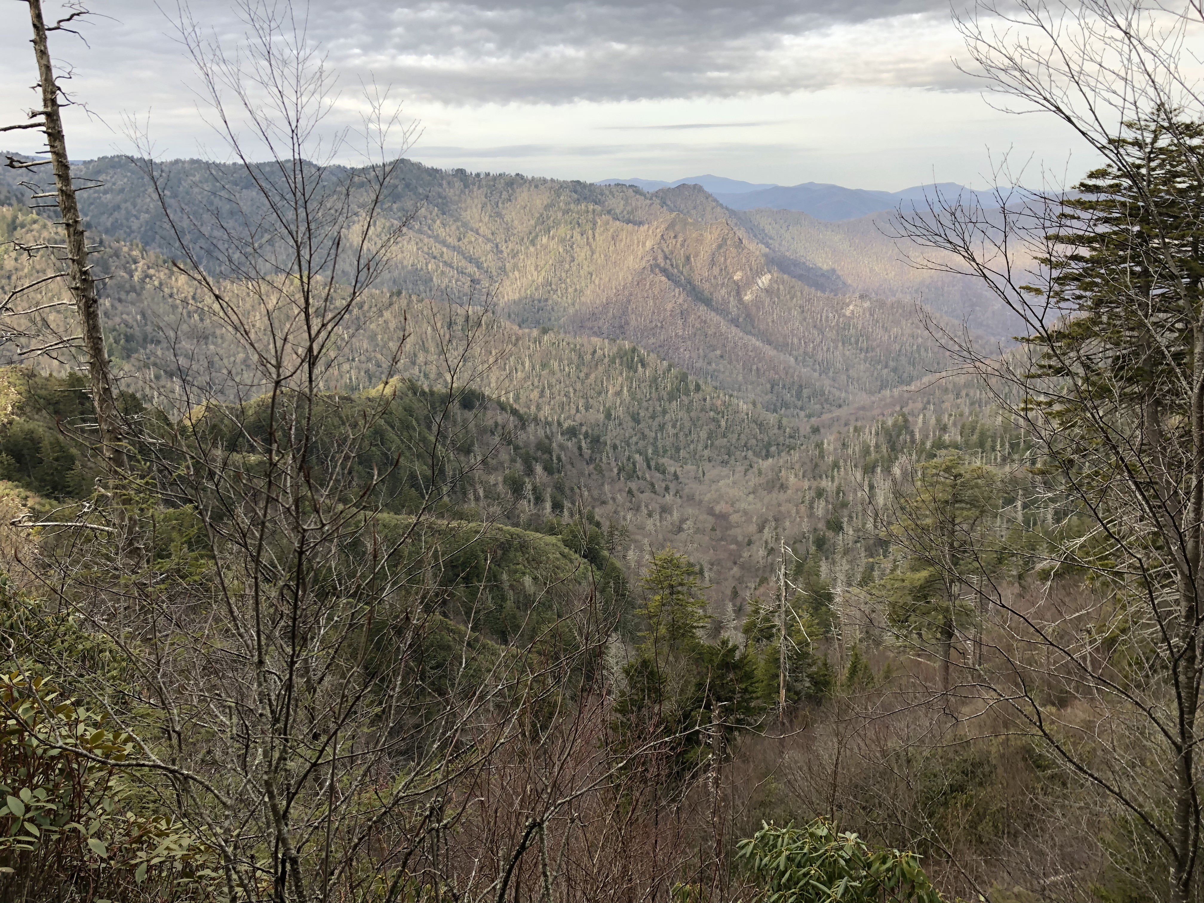
This 3.5 mile round-trip hike to the highest elevation "bald" in the Smokys offers great panoramic views and a quiet spot to enjoy a picnic. The bald receives periodic maintenance from the National Park Service to prevent it from being reclaimed as forest. The hike begins from Clingmans Dome.


 Refine Search


