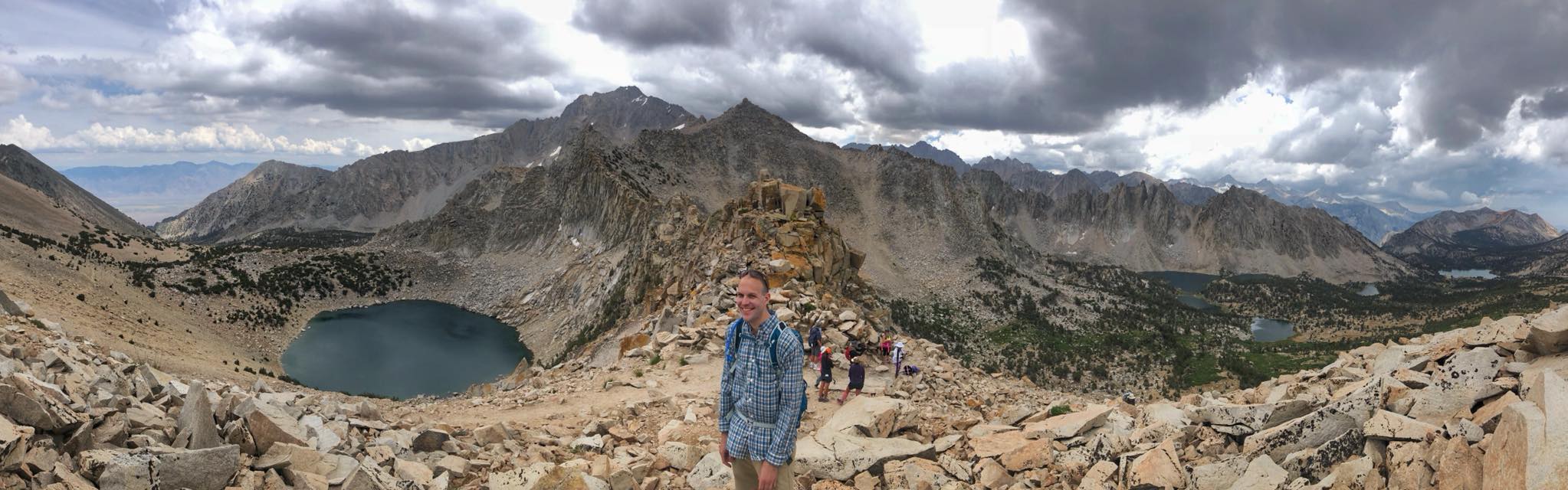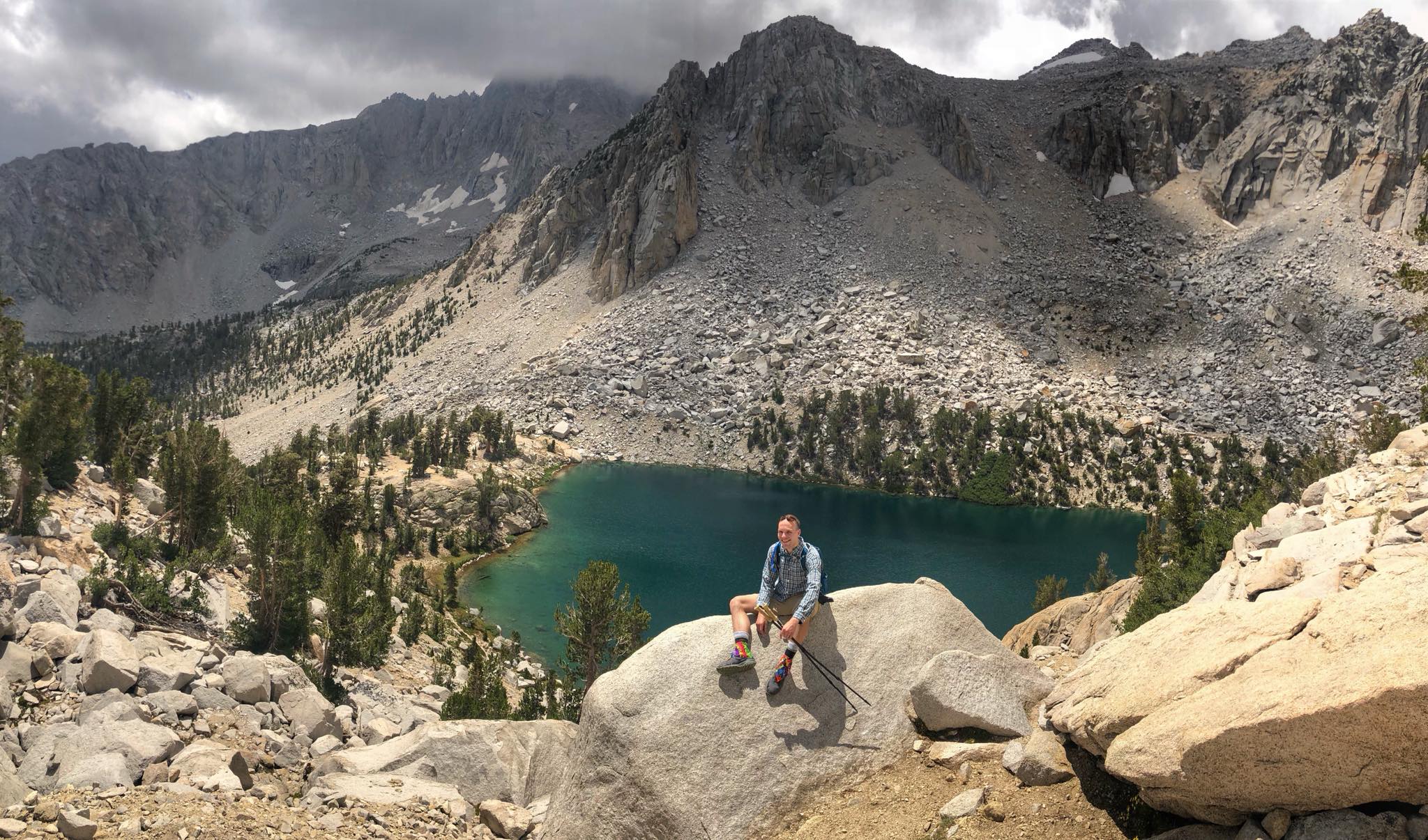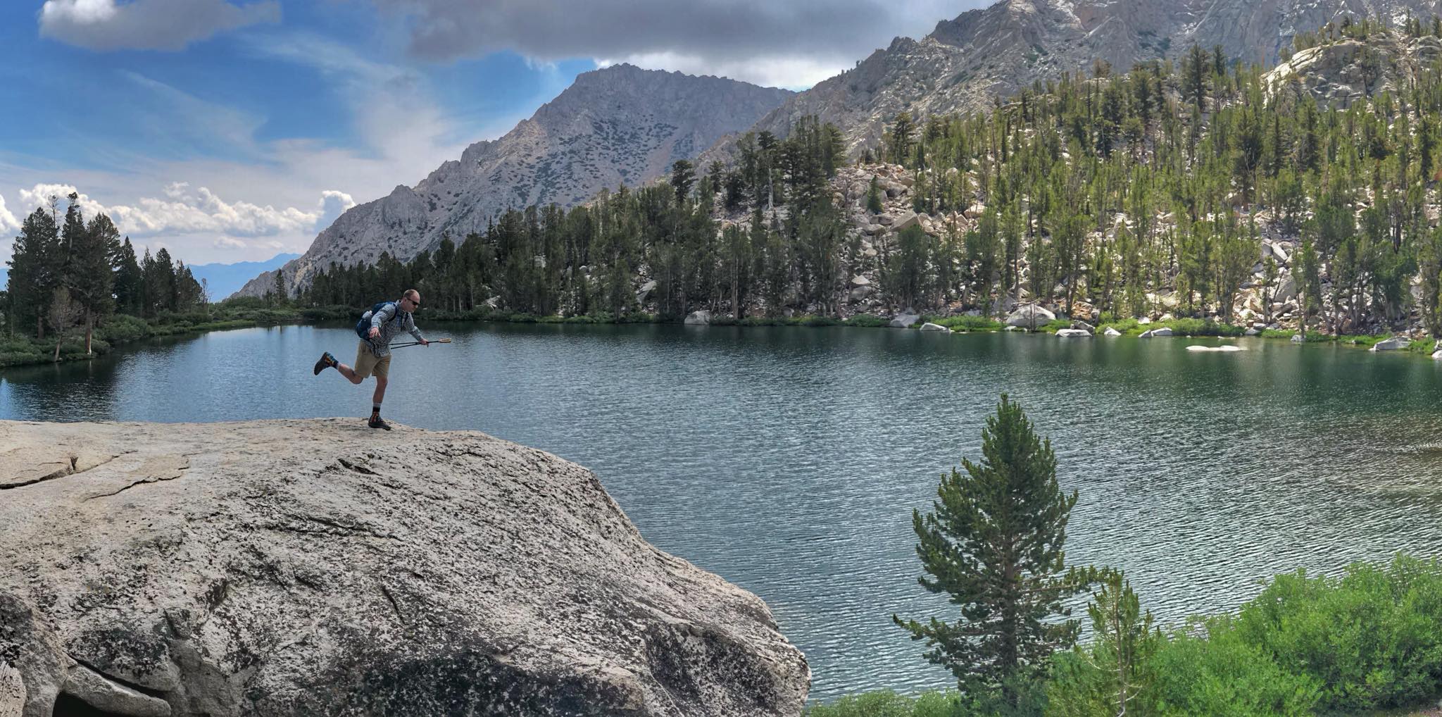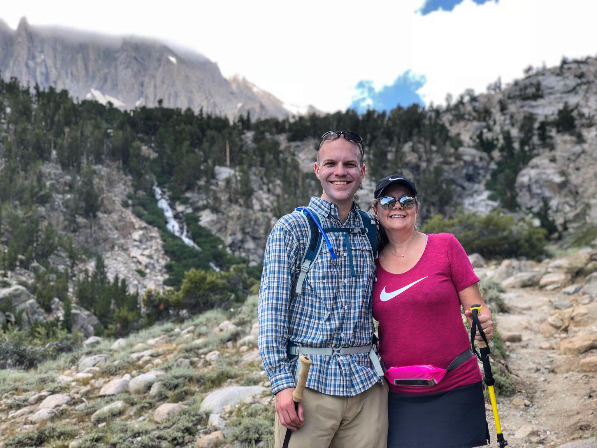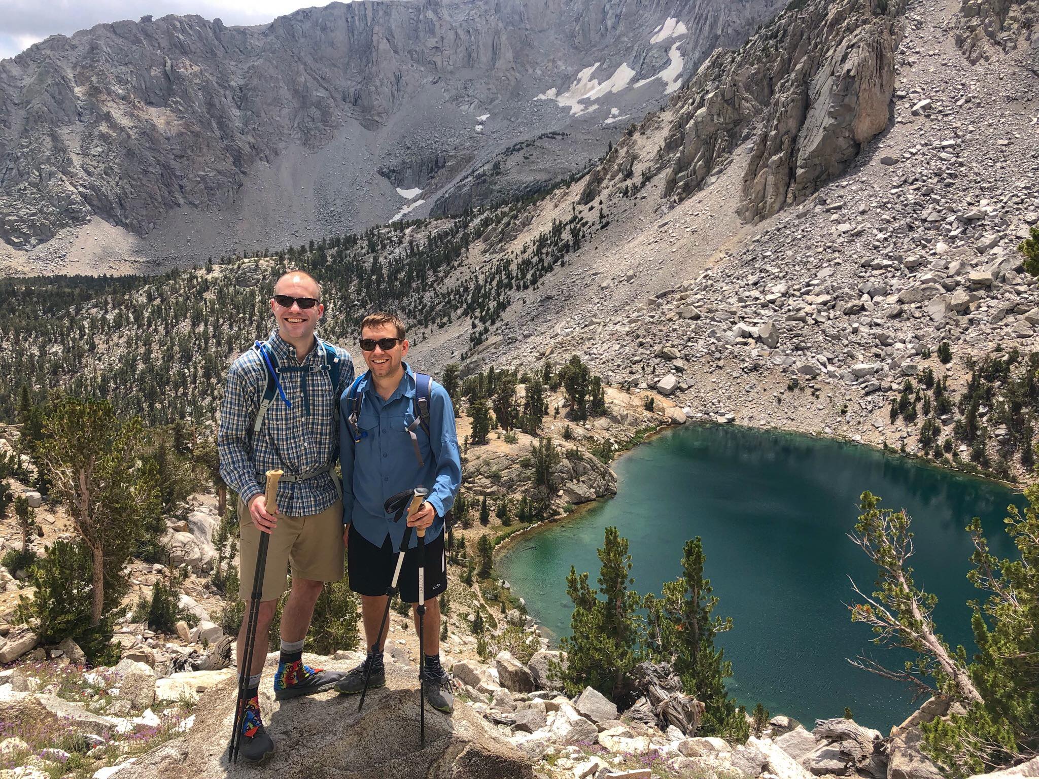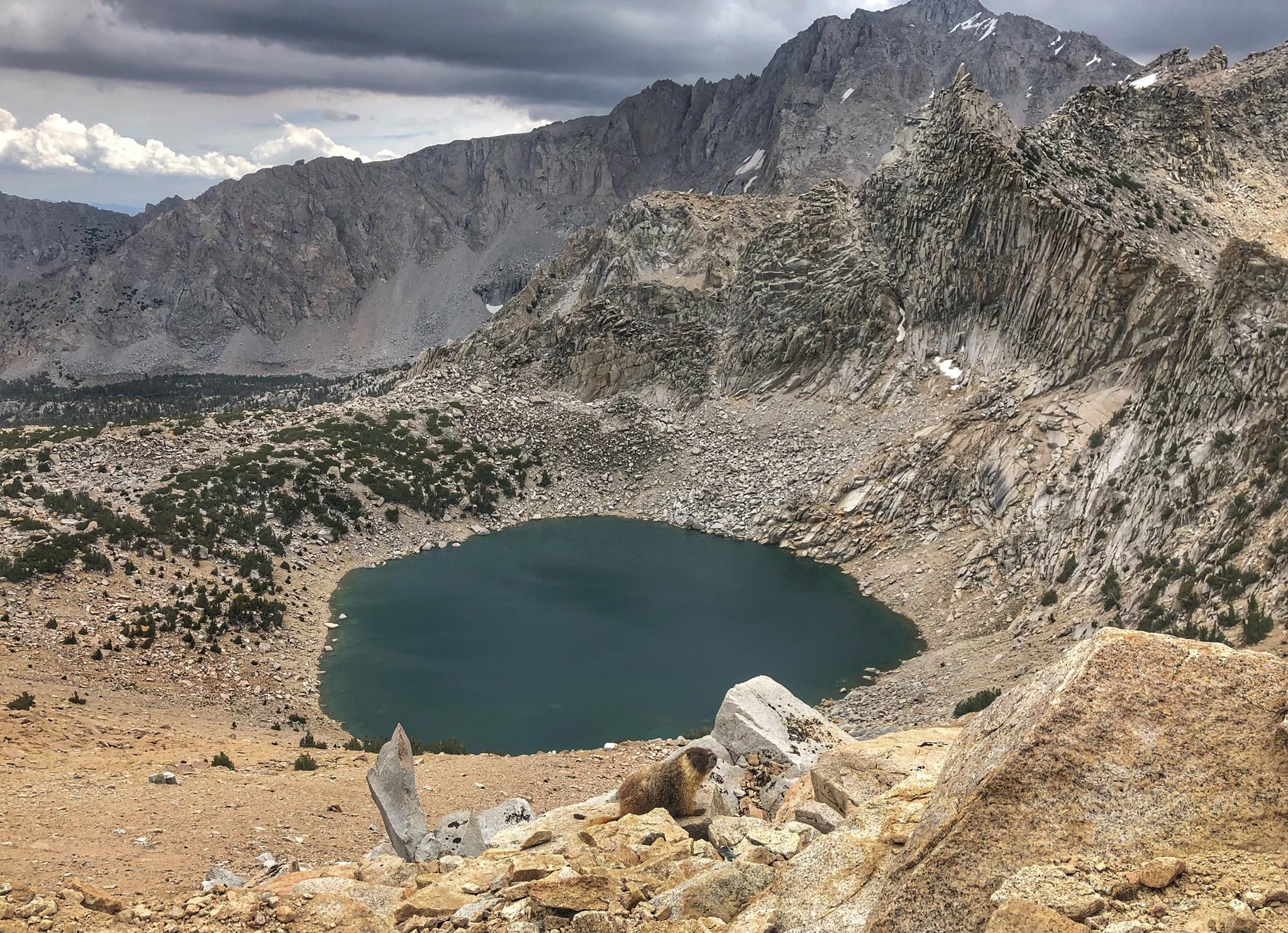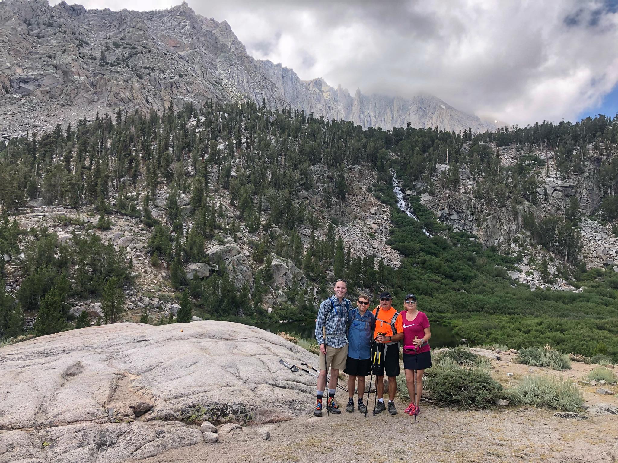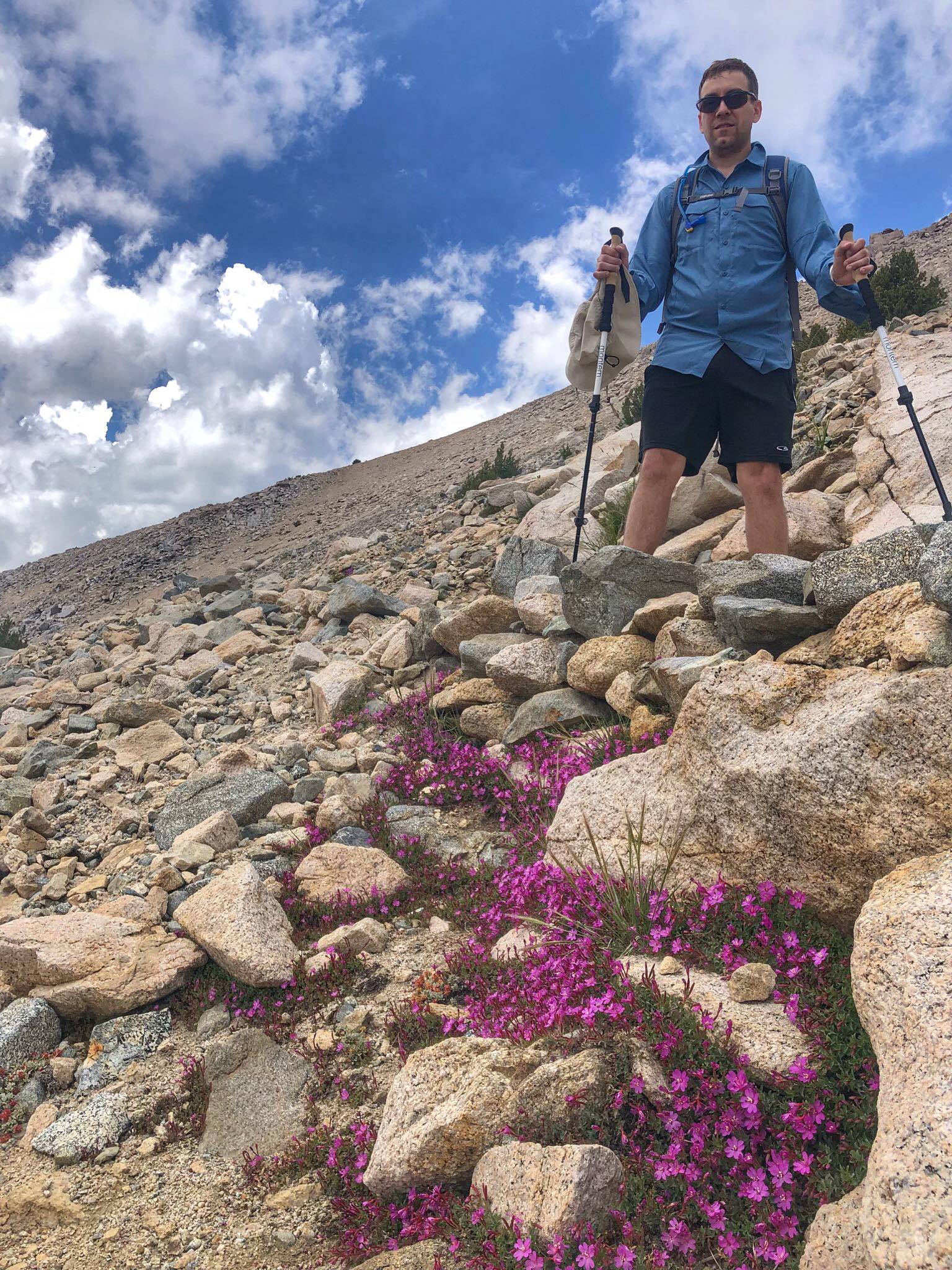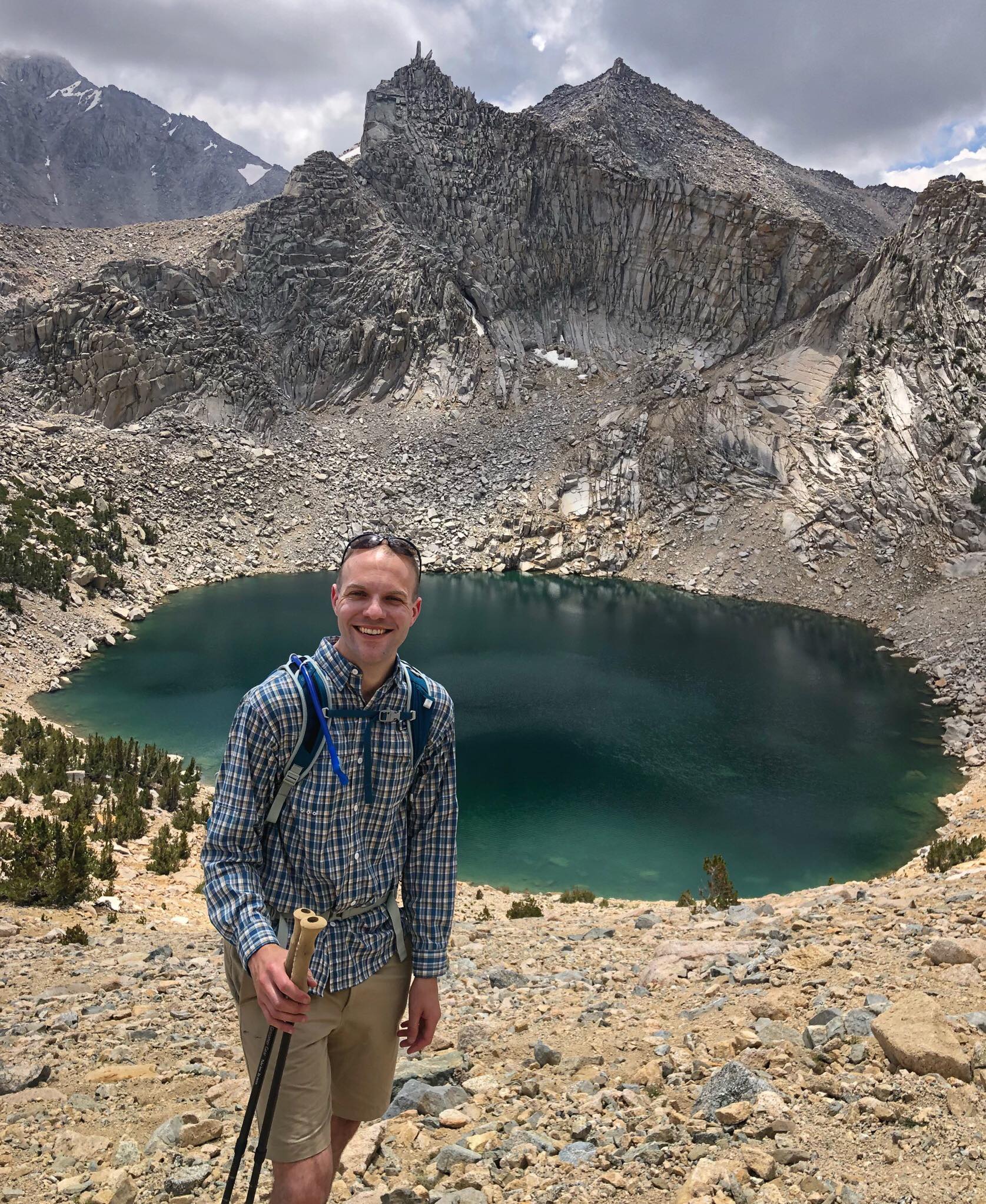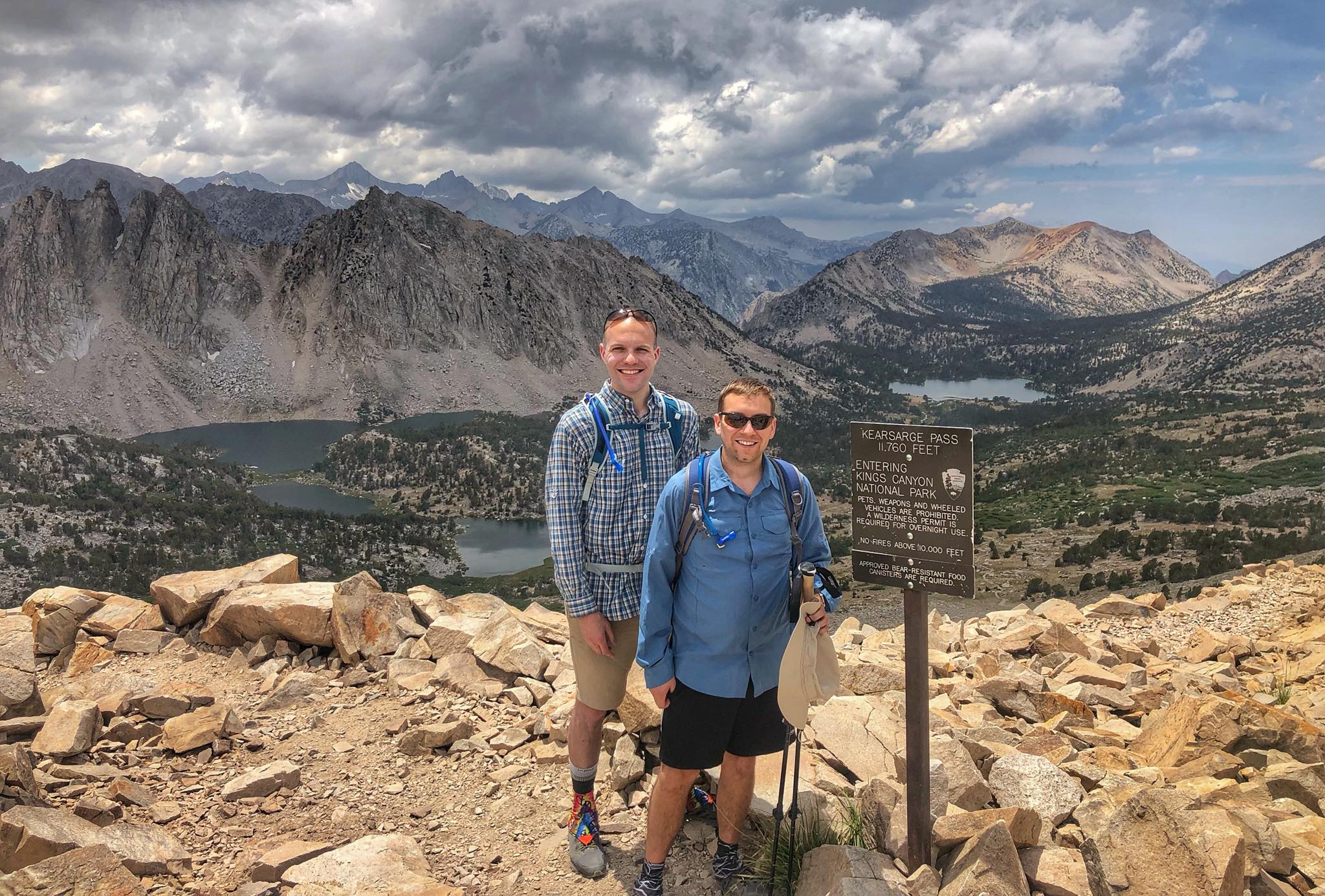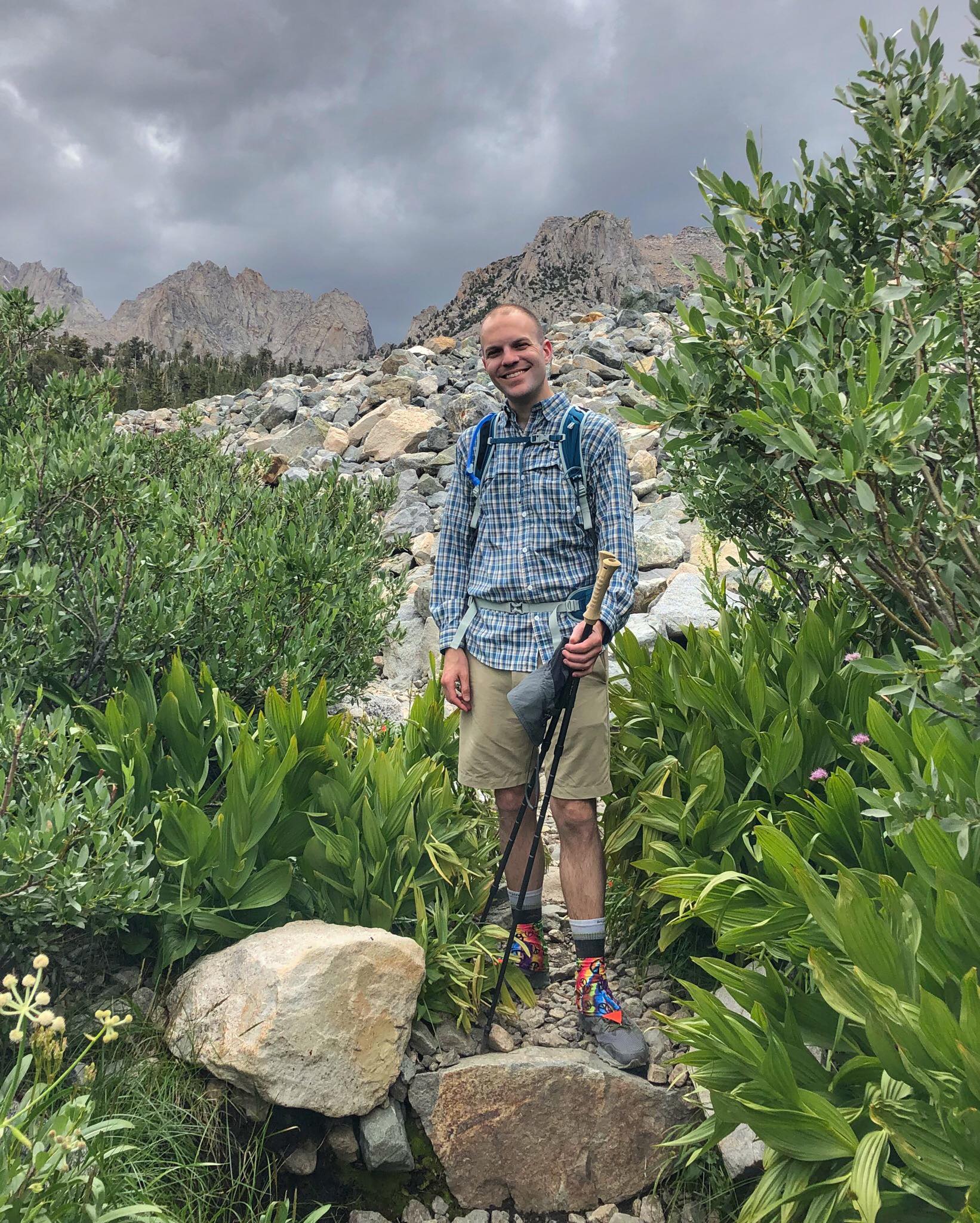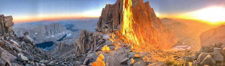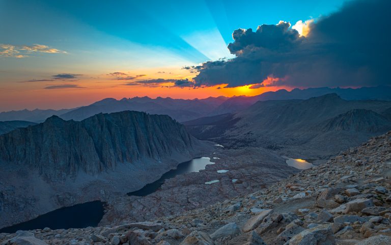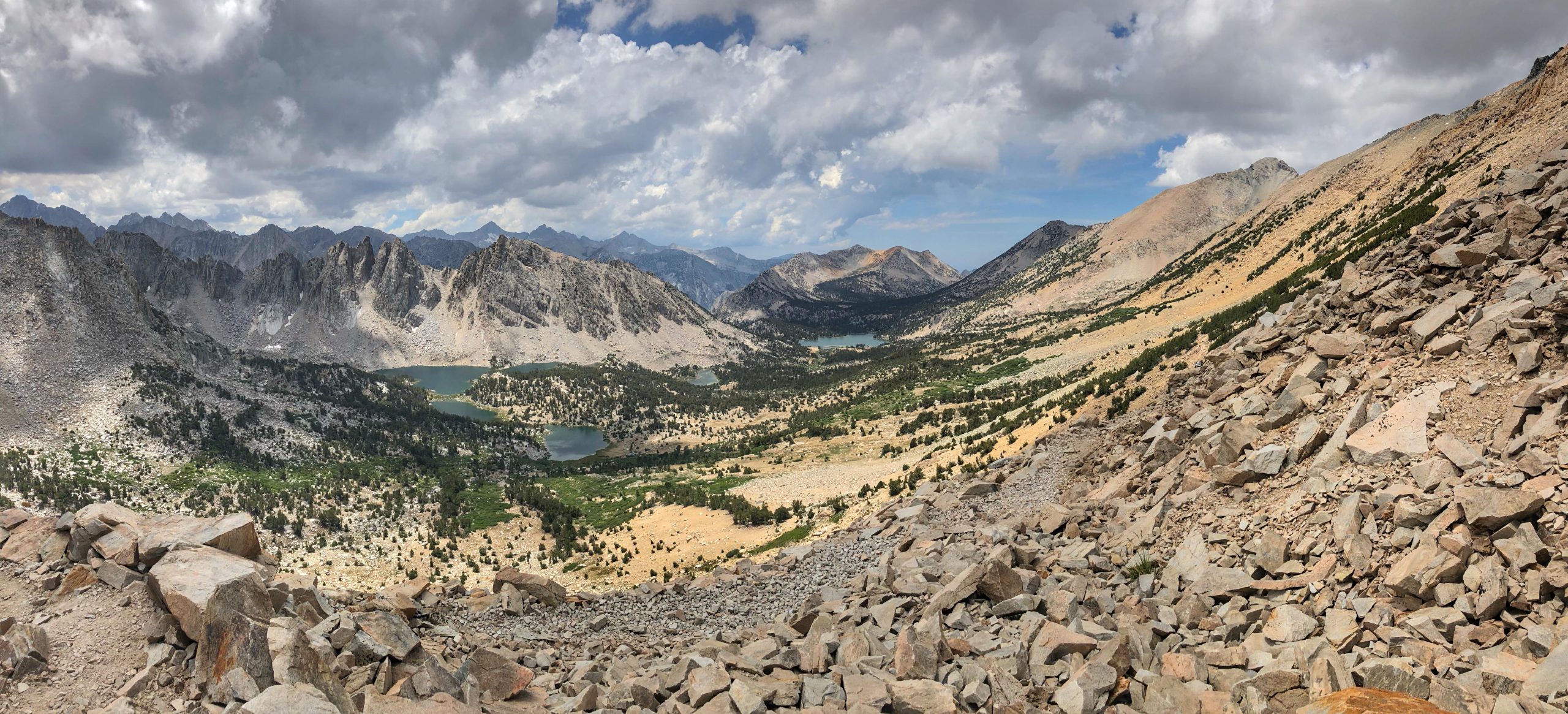
The Kearsarge Pass Trail is mile for mile one of the most scenic trails in the country. We did this hike as a family as an acclimation hike for Mt. Whitney.
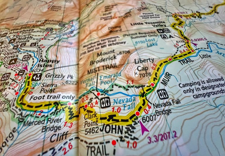
Beginning at Onion Valley (9,200 ft) and traveling through the John Muir Wilderness, you’ll pass multiple beautiful alpine lakes as you cover the 4 miles and 2,500 feet of elevation gain to the top of 11,760-foot Kearsarge Pass – the dividing point between Inyo National Forest and Kings Canyon National Park. If you continue along the trail for another 2.5 miles, you will reach the John Muir Trail.
The nearest towns to the Onion Valley trailhead are Independence, CA (15 miles) and Lone Pine, CA (~30 miles). Permits are required for overnight backpacking trips but not for day use.