This is the 2nd of 3 section hikes of the entire John Muir Trail. Read the other trip reports for Part 1: Reds Meadow to Yosemite Valley and Part 3: Bishop Pass to Mount Whitney
Overview
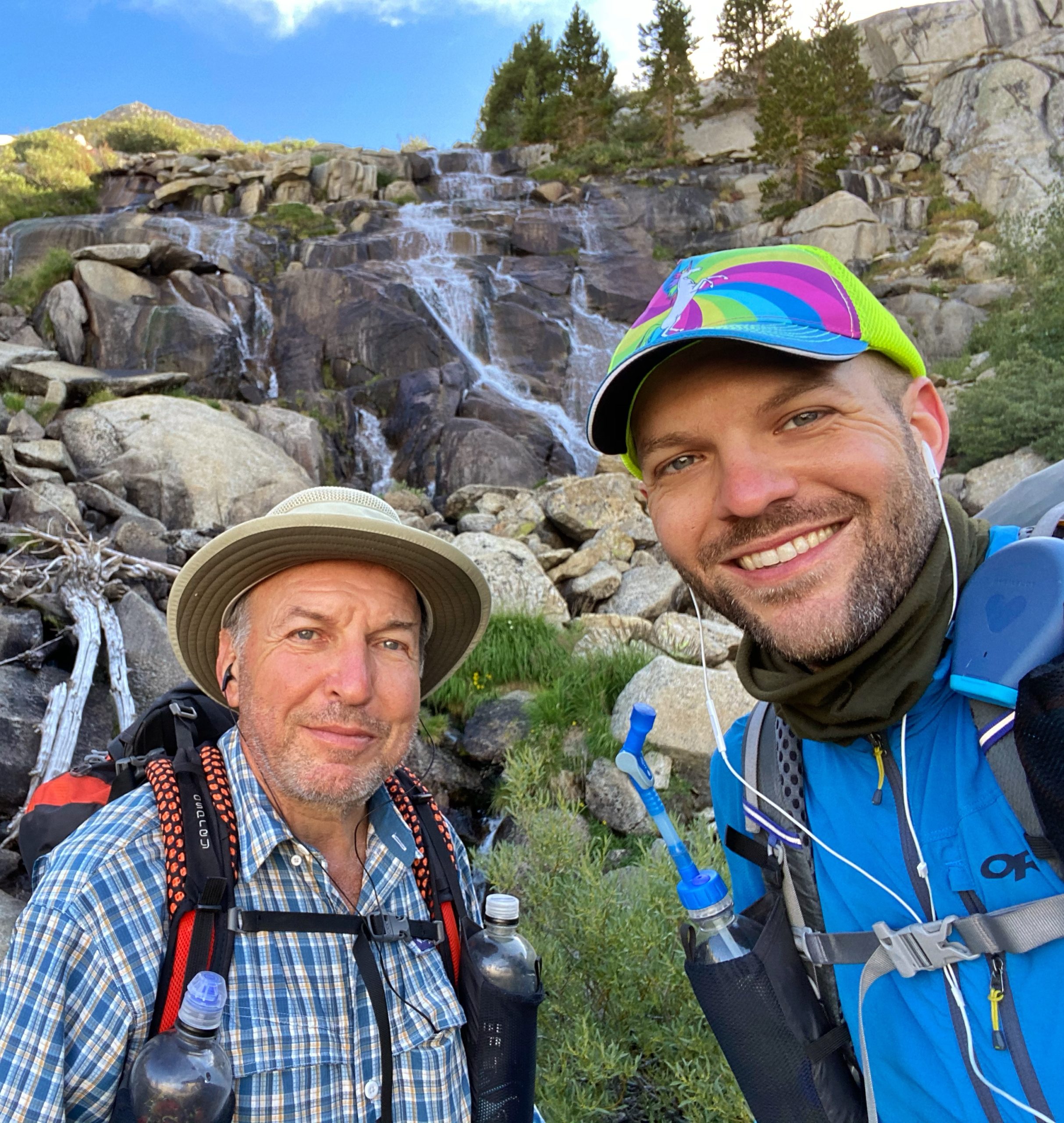
Over 6 days in early August of 2020, my dad and I hiked a total of 83 miles as part 2 of our 3-section effort to hike the entire John Muir Trail.
Starting from the Duck Pass Trailhead in Mammoth Lakes, we hiked 5.5 miles to the John Muir Trail, followed the JMT south for 66.4 miles (from mile 70.5 to 136.9), and hiked out via the 10.9-mile Bishop Pass Trail to South Lake in Bishop. Our hike took us through Inyo National Forest, Sierra National Forest, and Kings Canyon National Park.
Trip Video
Watch a video of our section hike from Duck Pass to Bishop Pass.
Day 0
My dad and I both flew to Las Vegas, where we rented a car, picked up a fuel canister at REI (can’t take them on the plane), and drove to the South Lake trailhead in Bishop where we left the rental car. Our shuttle driver met us at the parking lot and drove us to Mammoth Lakes where we got dinner and stayed in a hotel for the night.
Early flight out of EWR to LAS. Almost packed. Masks were required. “Six feet apart or six feet under” – United Airlines guy….Had a burger for dinner. Dad had ribs. Some drunk guys got in a fight.
journal excerpt 8-7-20

Day 1
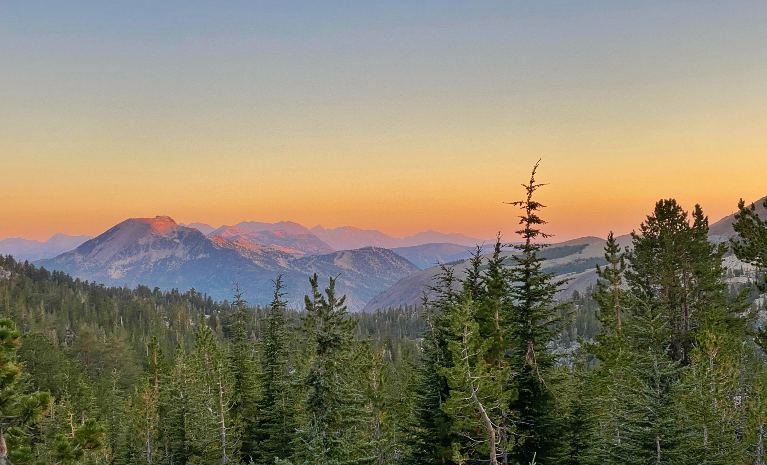
Duck Pass Trailhead to Squaw Lake (15.2 miles). Woke up at 3:45am. Our shuttle driver picked us up at the hotel around 4:30am and drove us to the Duck Pass Trailhead. We set off around 4:50am in the dark with out headlamps on and we made good time. When we looked back as the sun was coming up, we got a gorgeous sunrise view of the mountains.
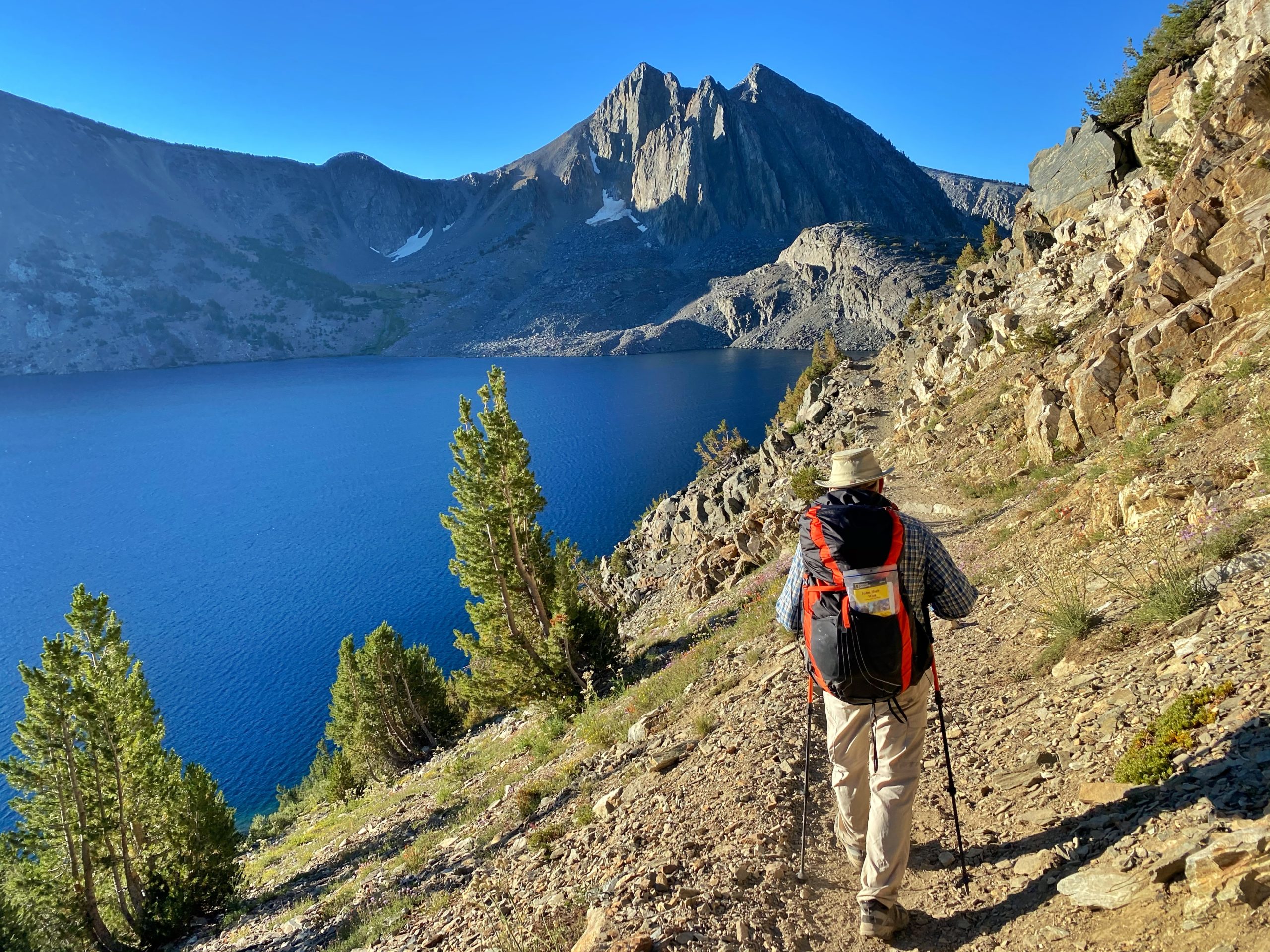
Walking past Duck Lake, with the trail perched high above right next to the lake, was one of the highlights of the day.
Our original plan was to stop at Lake Virginia for a total of 9 miles.

We quickly reached Purple Lake and continued on. We arrived at Lake Virginia around 11:00 am where we stopped for lunch. I also cooled off my feet in the crystal clear water.

It was still early in the day so we decided to keep going. We descended on switchbacks into Tully Hole.
-
Descending into Tully Hole -
Tully Hole
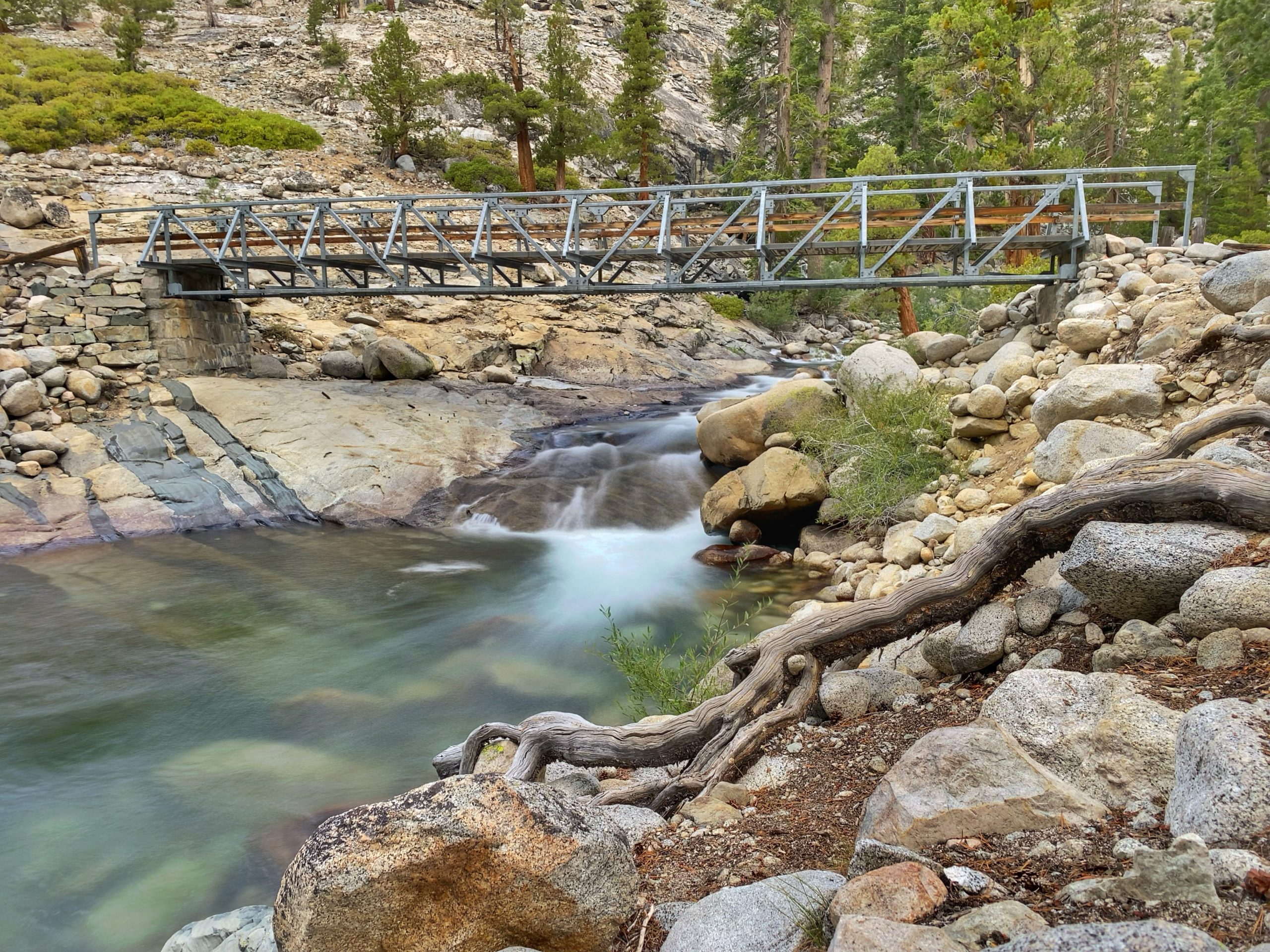
We followed Fish Creek and eventually crossed it on a footbridge.
-
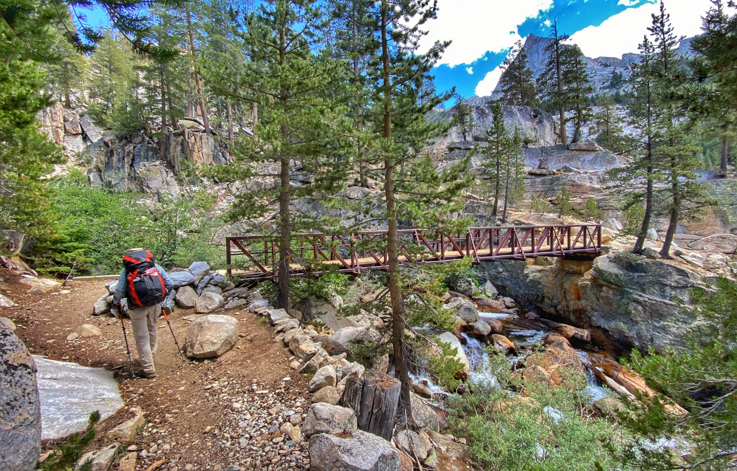
Fish Creek Bridge -
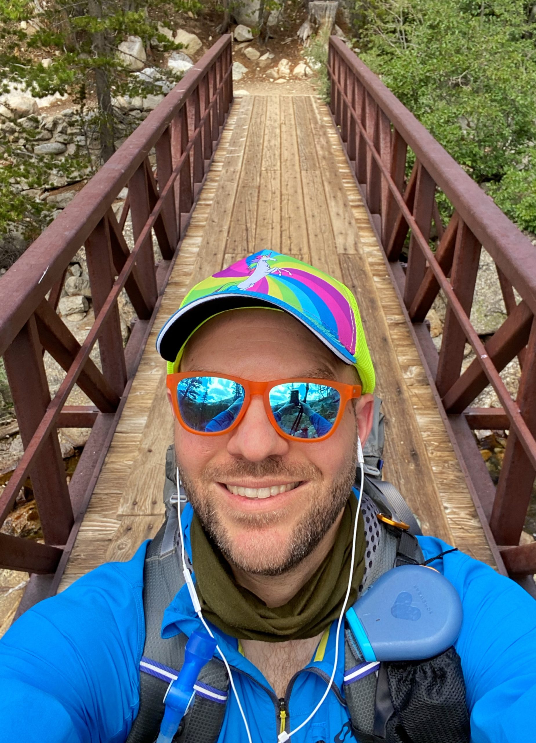
Fish Creek Bridge -
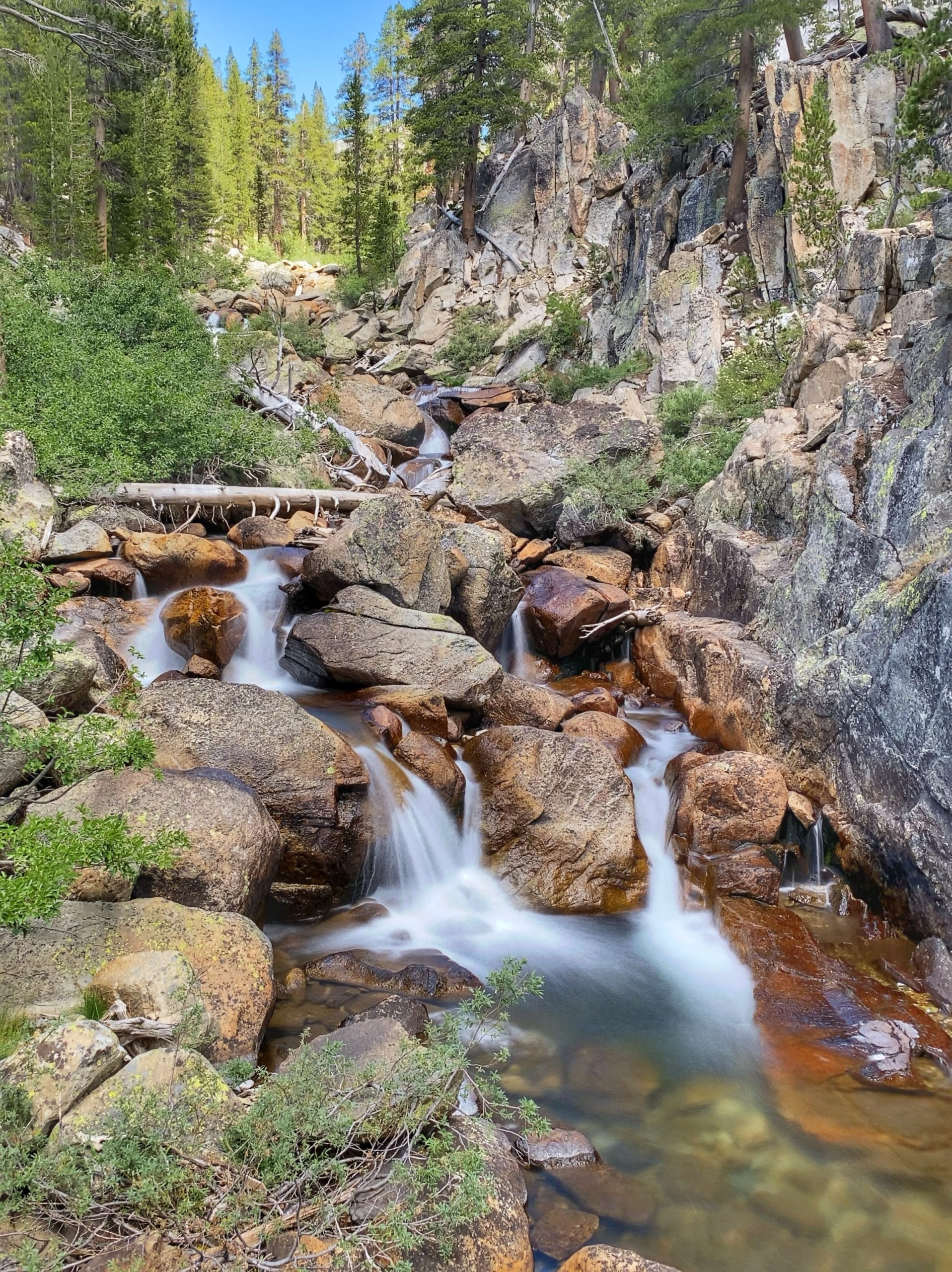
Fish Creek
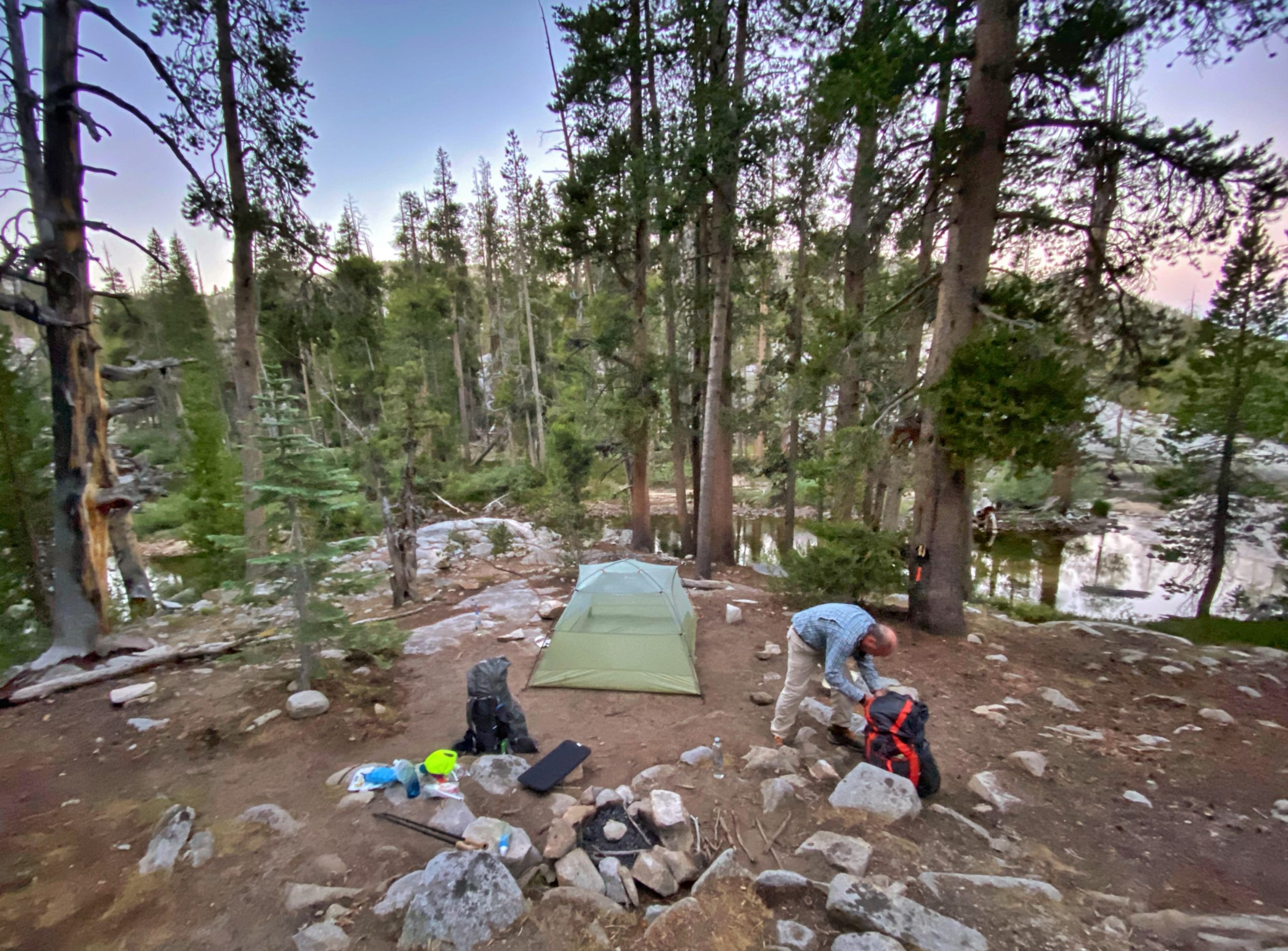
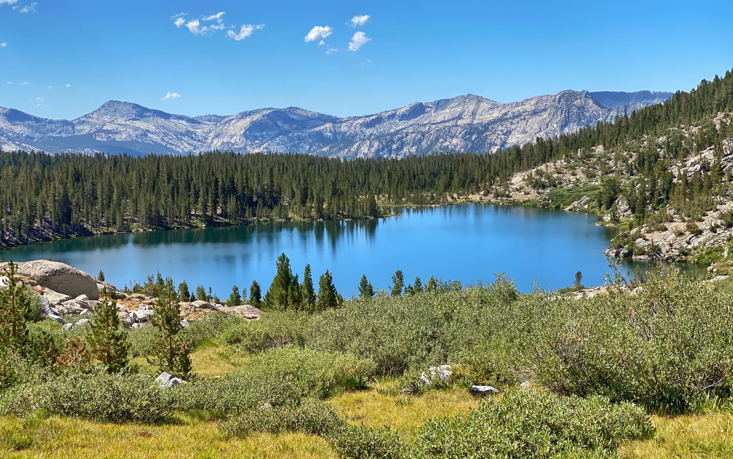
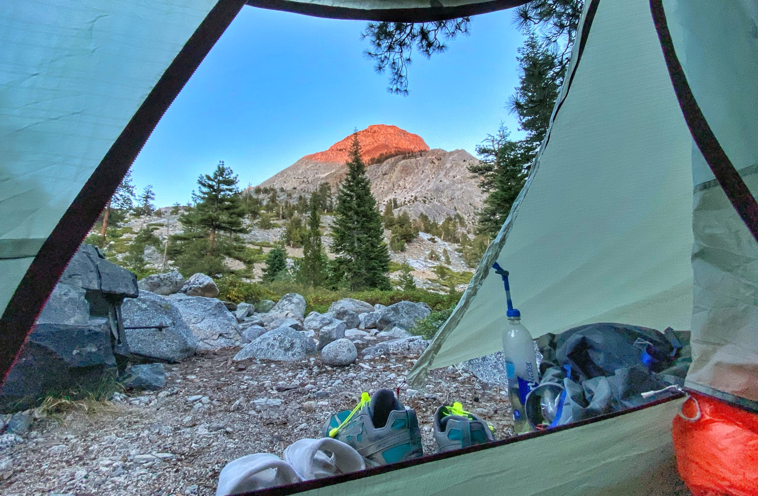
Eventually we reached Squaw Lake where we stopped and set up camp. We found a spot just off the trail with a nice view of the lake and mountains.
-
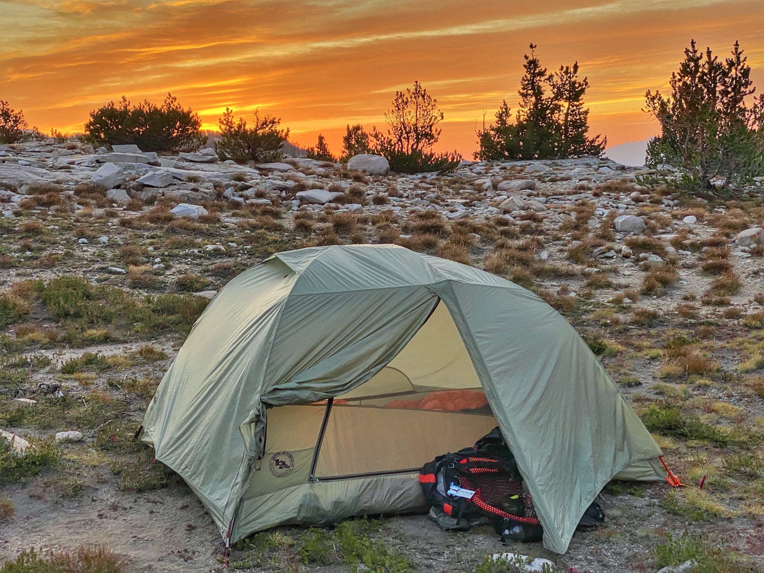
Camp site at Squaw Lake -
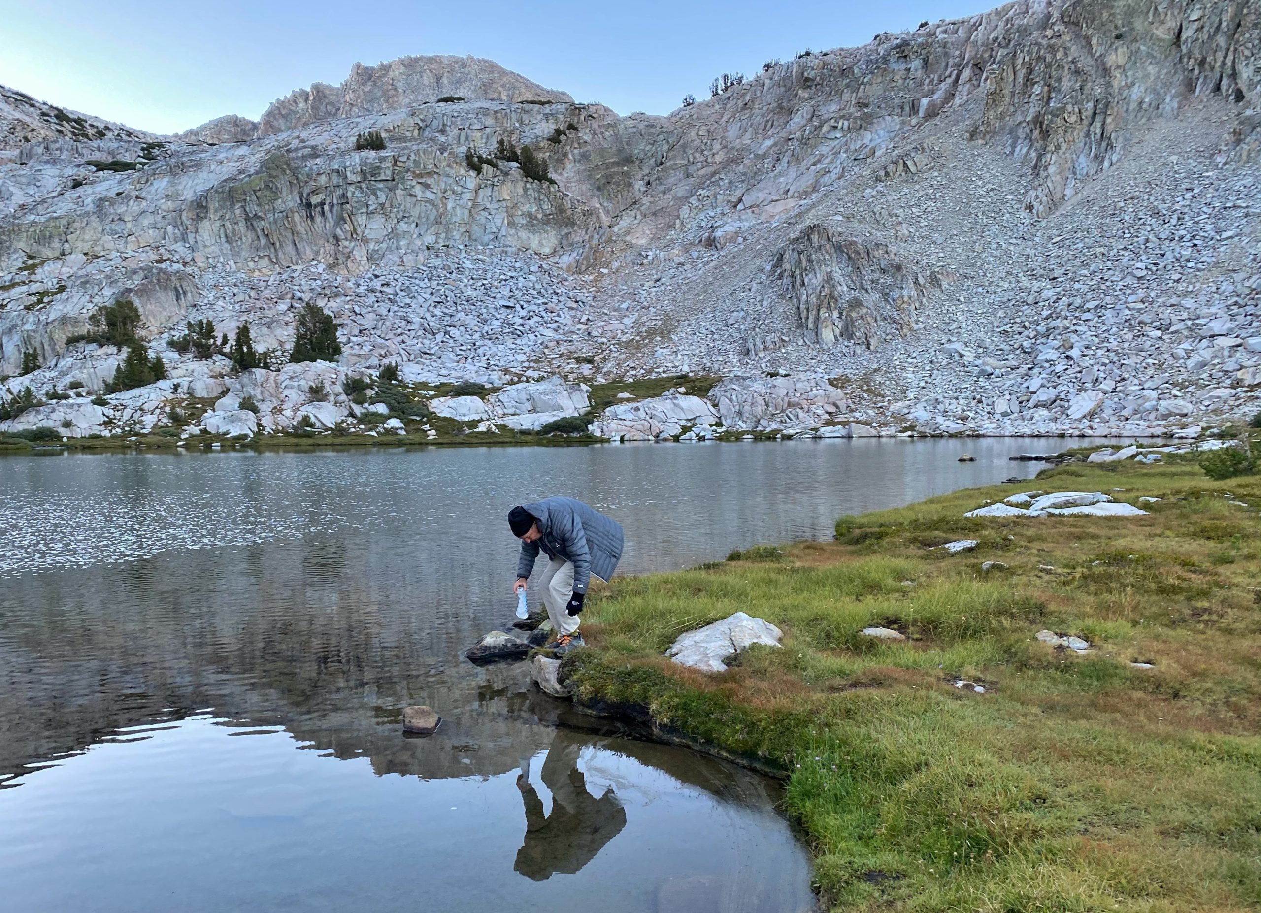
Refilling water at Squaw Lake -

Dinner -
Sunset at Squaw Lake -
Facing west from Squaw Lake at sunset -
The last rays at sunset reflecting off the mountains behind Squaw Lake
We started hiking in the dark and made good time. Nice and cool. Plan was to stop at Lake Virginia for a total of 9 miles. We arrived at Lake Virginia around 11am. Gorgeous lake. We stopped for lunch but we decided to keep going. 6 miles later, we went down through Tully Hole, crossed Fish Creek on a nice footbridge, and ended up at Squaw Lake. It’s a small lake but flanked by dramatic, tall mountains.
journal excerpt 8-8-20
Day 2
Square Lake to Bear Creek (15.4 miles). We woke up around 4:40am, made coffee, packed up, and hit the trail by around 6:40am. We first passed Chief Lake which was beautiful, then quickly crossed over Silver Pass.
From Silver Pass, it was a very long descent down to Mono Creek. We stopped at the creek for lunch, took off my shoes, and dipped my feet in the ice cold water.
-
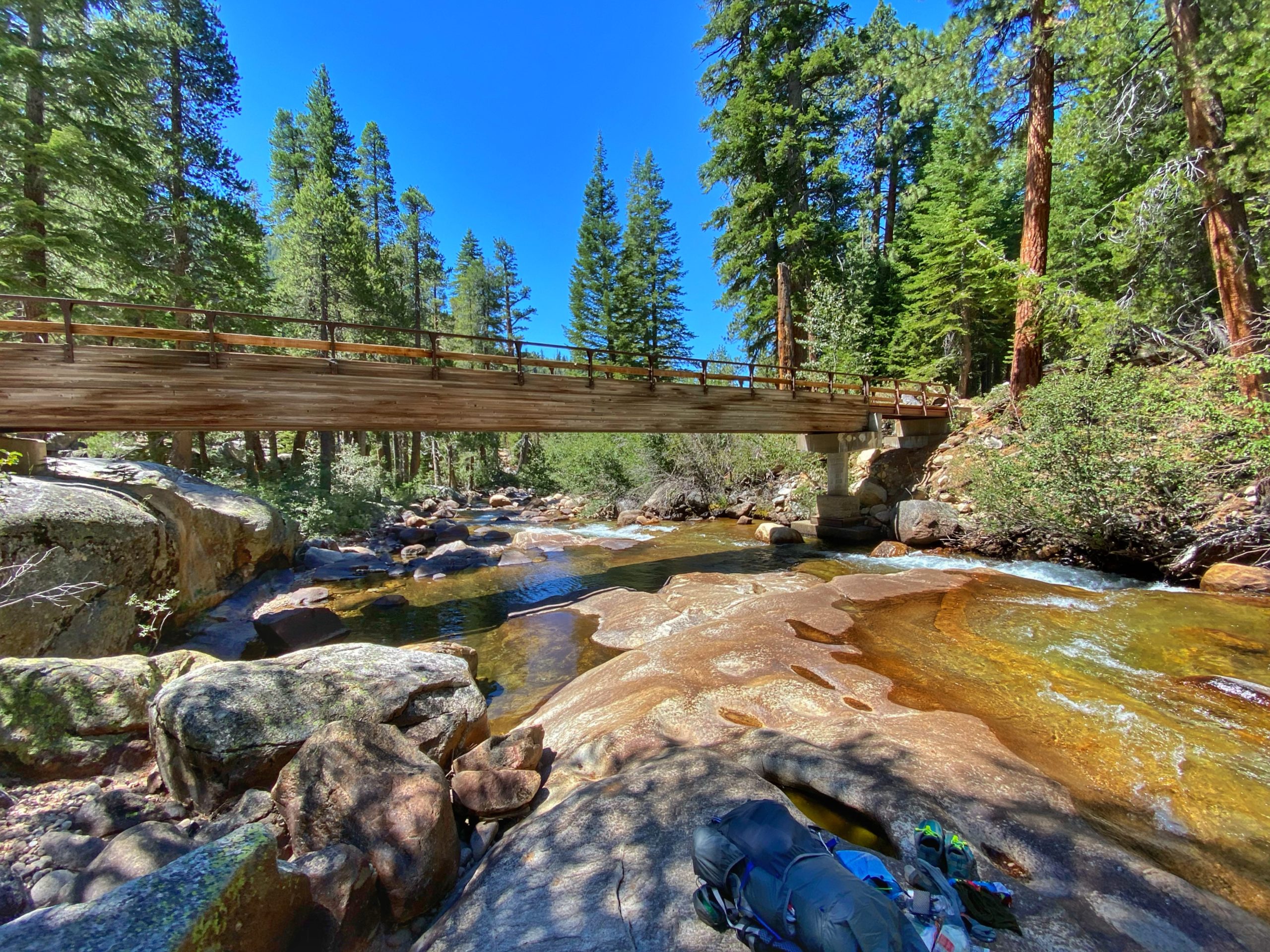
Mono Creek Bridge -
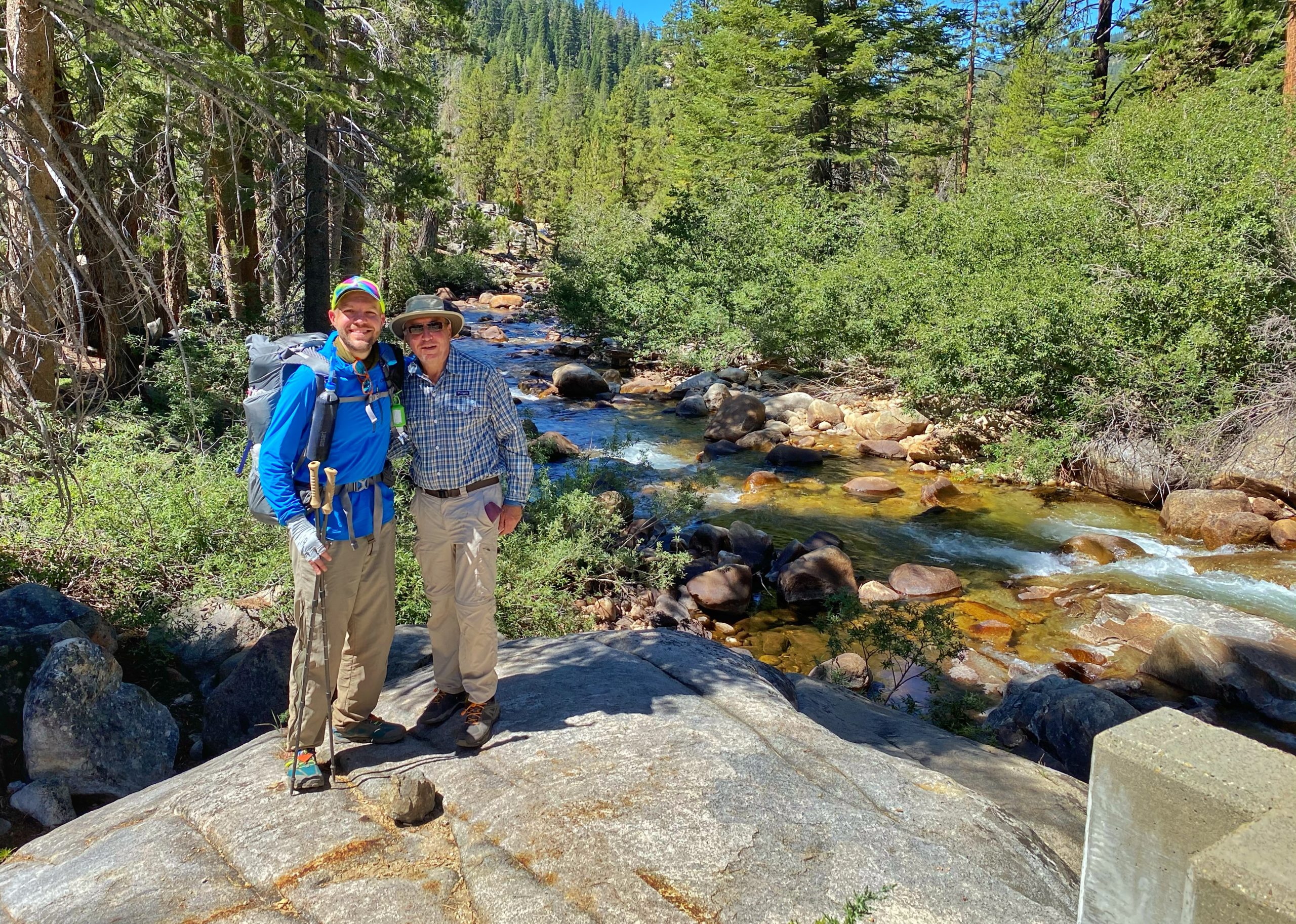
Me and my dad at Mono Creek
Next began the long gruel up Bear Ridge. It’s well-graded and mostly in the shade, but still tough. The switchbacks meant there were few steps so the entire trail was on an incline, and I think that made my Achilles tendon hurt. We made it over the ridge then continued a few more miles and finally stopped at a nice tent site next to Bear Creek.
My dad and I both went for a swim in the creek.
-
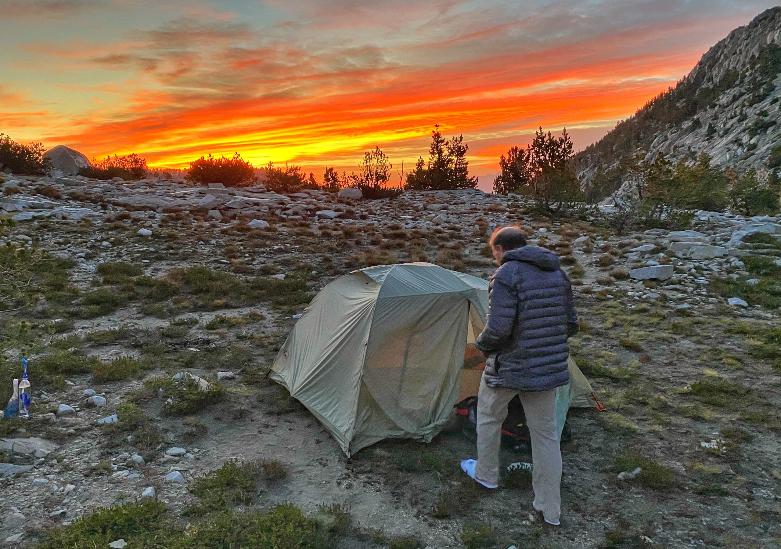
Camp site at Bear Creek -
Bear Creek cascades -
Sunset on Bear Creek
Went for a swim in the creek. So nice to be clean! Everything is so dusty and my nose is dry and bleeding. Could be worse. Tomorrow we might go all the way to MTR. We are ahead of schedule.
journal excerpt 8-9-20
Day 3
Bear Creek to Piute Creek (16.1 miles). Woke up before 5am. It was warmer this morning – almost 55 degrees. We hit the trail shortly after 6am for the climb up Selden Pass. The best part up was passing Marie Lake. The lake was still, perfectly reflecting the surrounding mountains. We also spotted some Belding’s Ground Squirrels keeping an eye out for predators on the shore of the lake.
-
Marie Lake -
Marie Lake -

Belding’s Ground Squirrels
From the top of Selden Pass, it was a beautiful view looking back upon Marie Lake from above.
We stopped at the top of Selden Pass for an early lunch break, then started down the other side of the pass. We passed Heart Lake and then Sallie Keyes Lake, which looks like a Bob Ross painting.
-

Heart Lake -
Sallie Keyes Lake
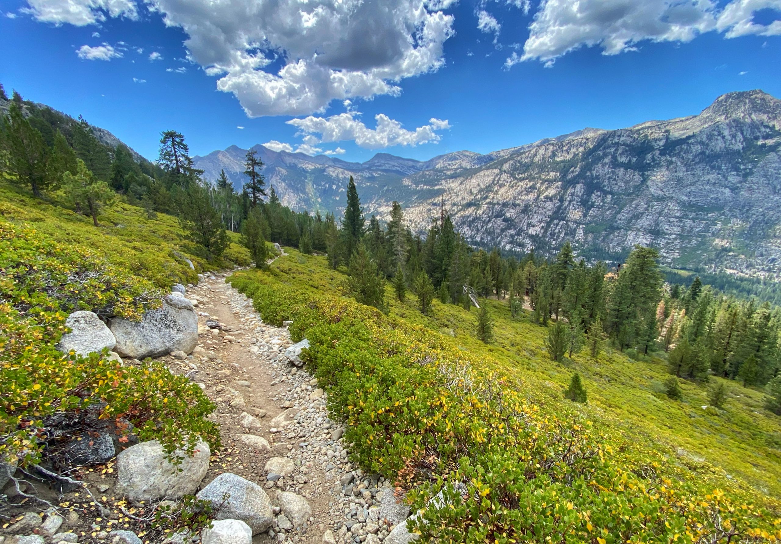
Next was a series of switchbacks with gorgeous views of the valley as we descended towards the Muir Trail Ranch where we stopped to pick up our resupply bucket.
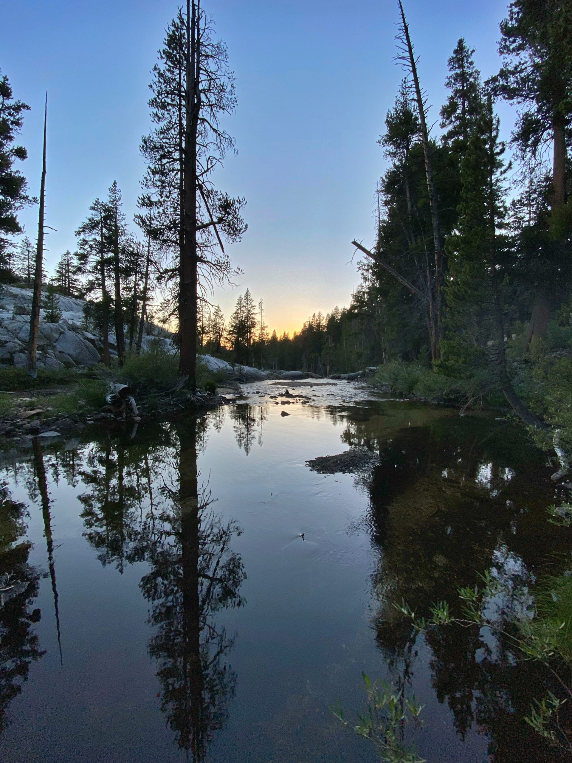
After refilling, my pack weighed 28 pounds. Ugh! We considered staying at MTR for the night but decided to move on. We hit the trail and continued for about 3 miles until we reached Piute Creek and the border between Sierra National Forest and Kings Canyon National Park. We set up camp for the night at the first tent site right across the bridge next to Piute Creek. It was great to sleep with the white noise of the rushing river.
-
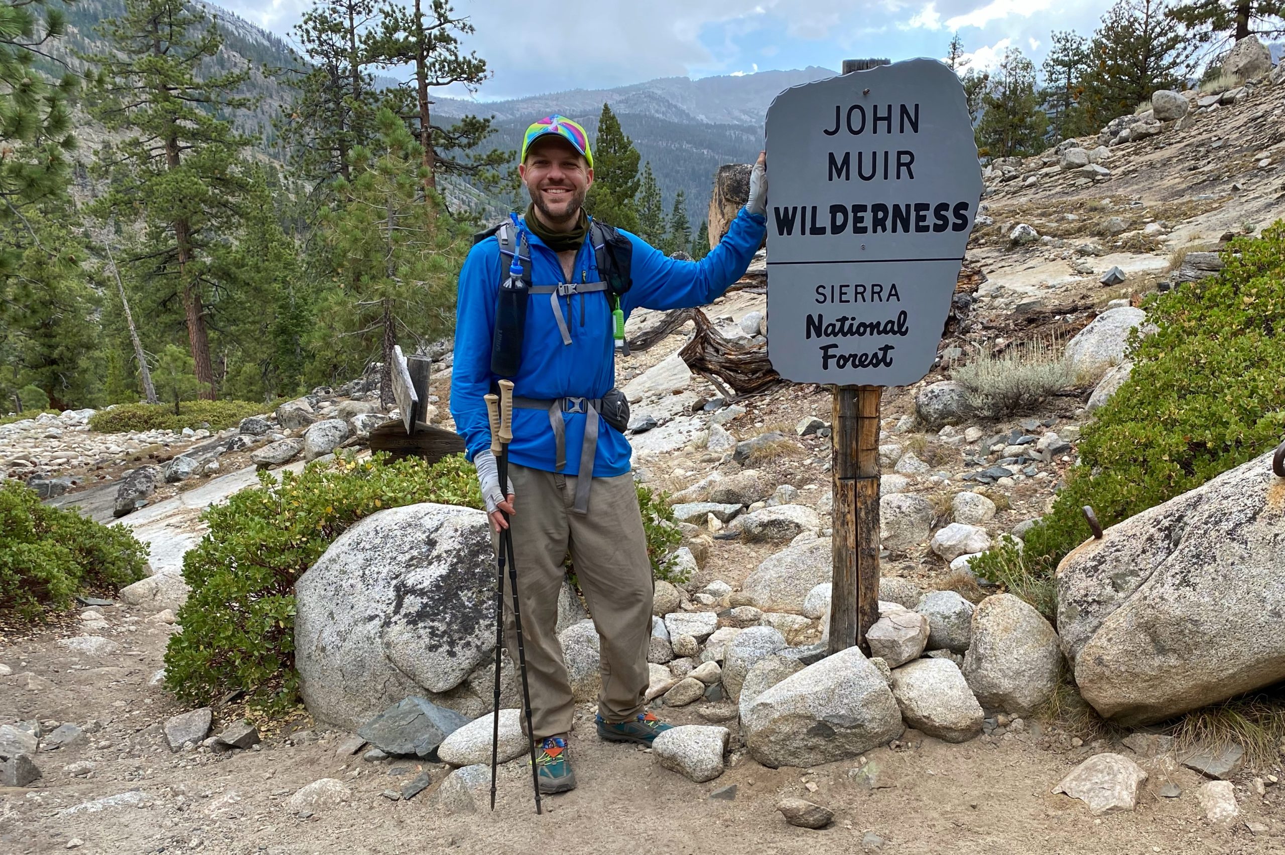
Sierra National Forest/Kings Canyon border -
Piute Creek -
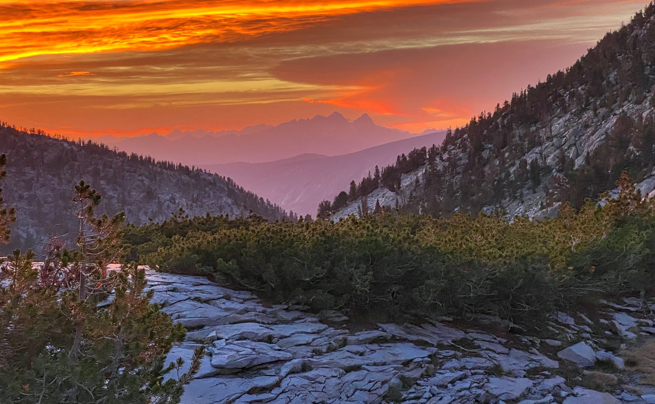
Sunset view from our camp site
We were supposed to do 8.4 miles but we did 15 miles. We are a full day ahead of schedule. My feet and hips hurt! I’m sleeping better than in past trips.
8-10-20 journal notes
Day 4
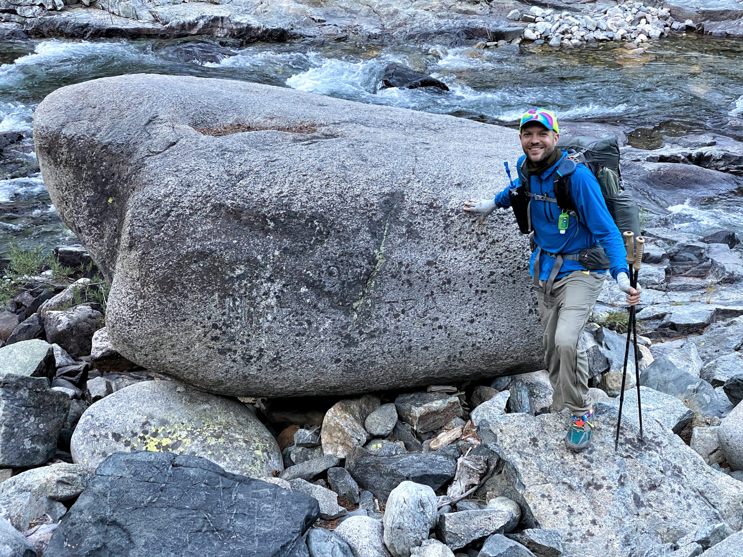
Piute Creek to Evolution Lake (11.5 miles). Another early morning. We woke up before 5am and started hiking by 6:30am. In the morning we followed the South Fork of the San Joaquin River – beautiful! Early in the day, we found the Muir Trail Rock. It’s faded but the rock is inscribed with “1917 Muir Trail.”
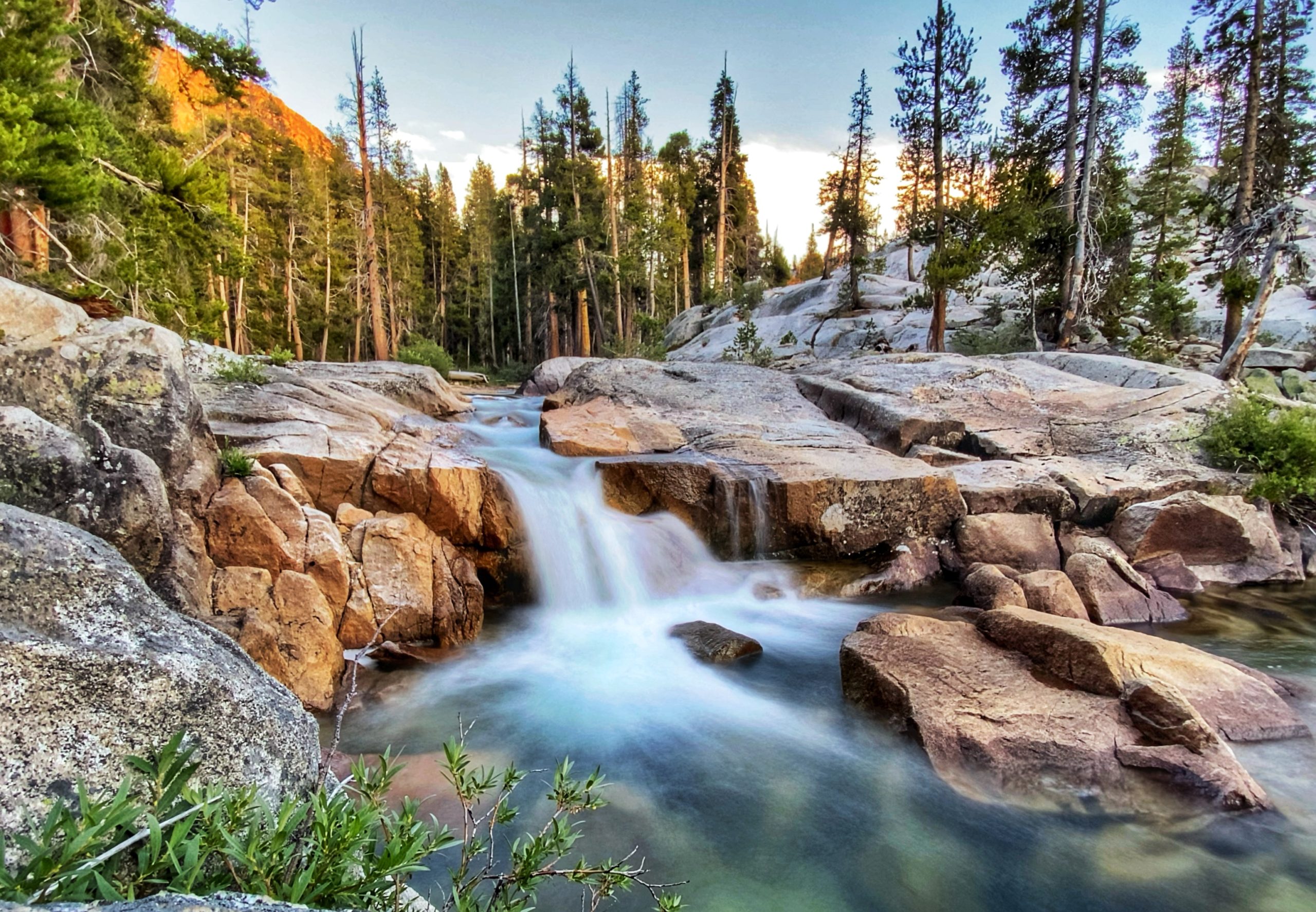
We climbed some switchbacks and then passed two gorgeous waterfalls along Evolution Creek.
-
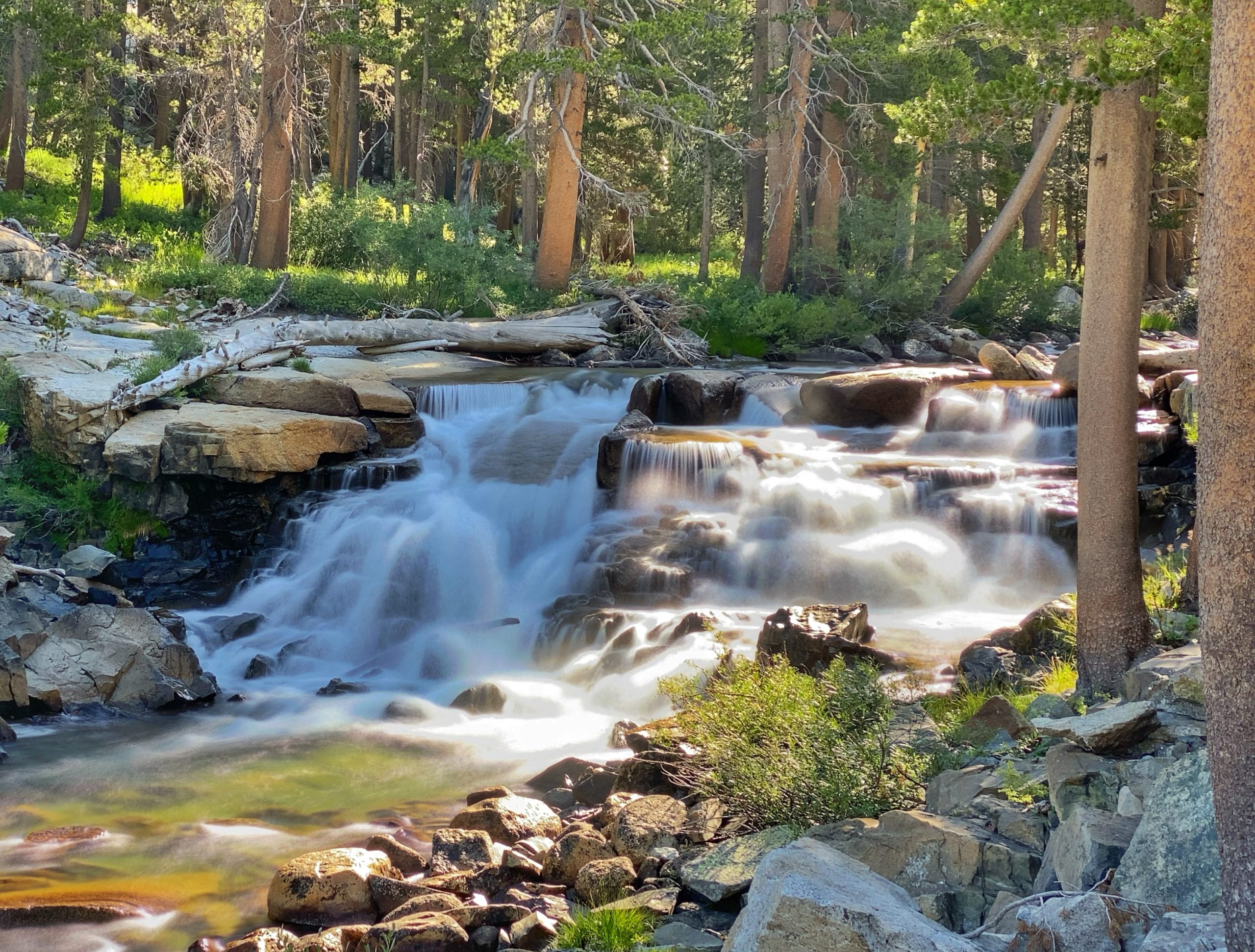
Evolution Creek waterfall -
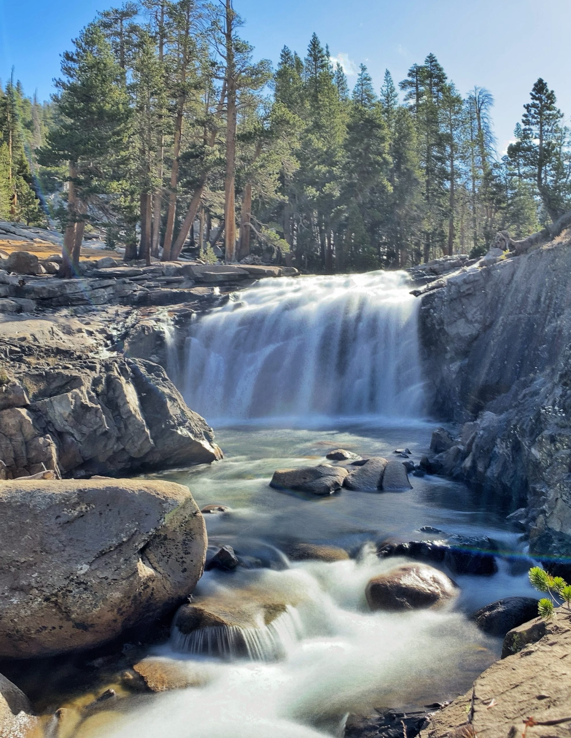
Evolution Creek waterfall
We waded across Evolution Creek. It was an easy, ankle/shin-deep wade that was really refreshing on the feet! We made it to McClure Meadow by 10am and we stopped there on a large outcrop for an early lunch.
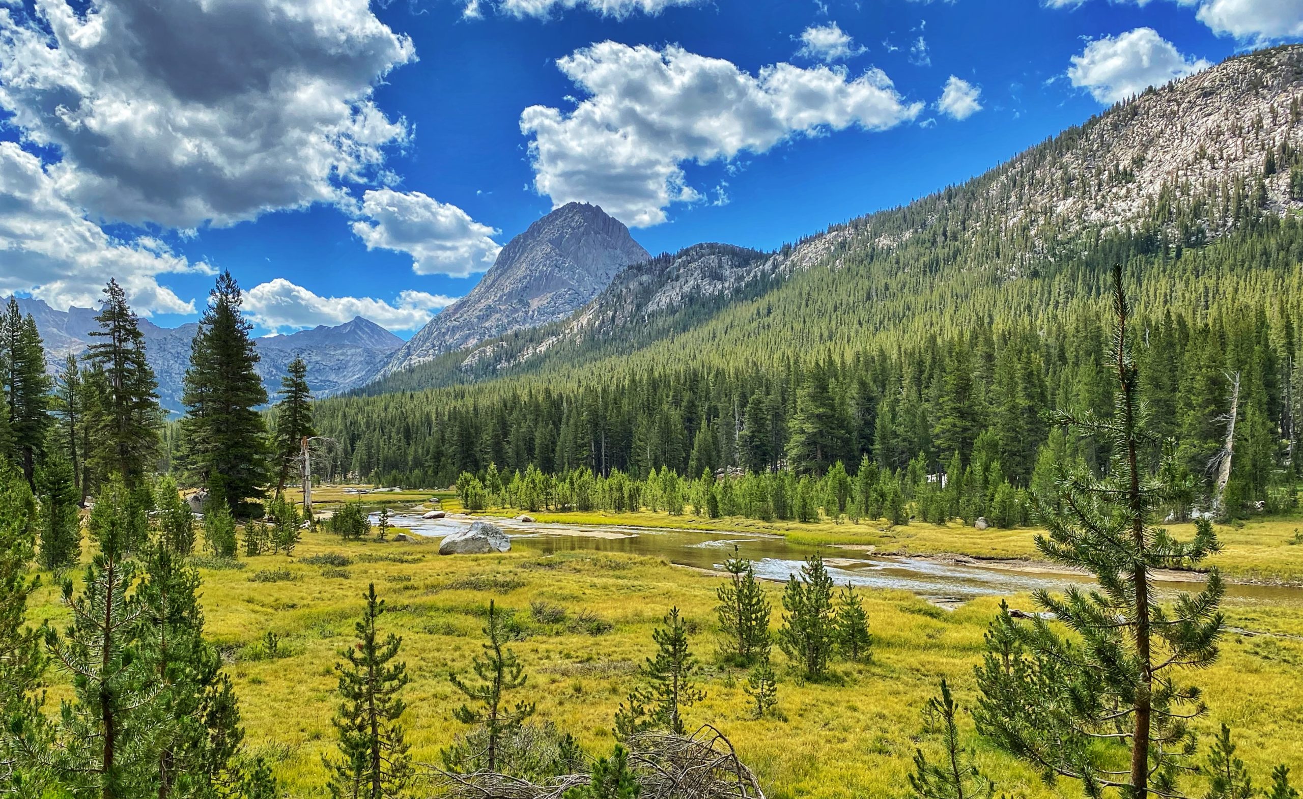
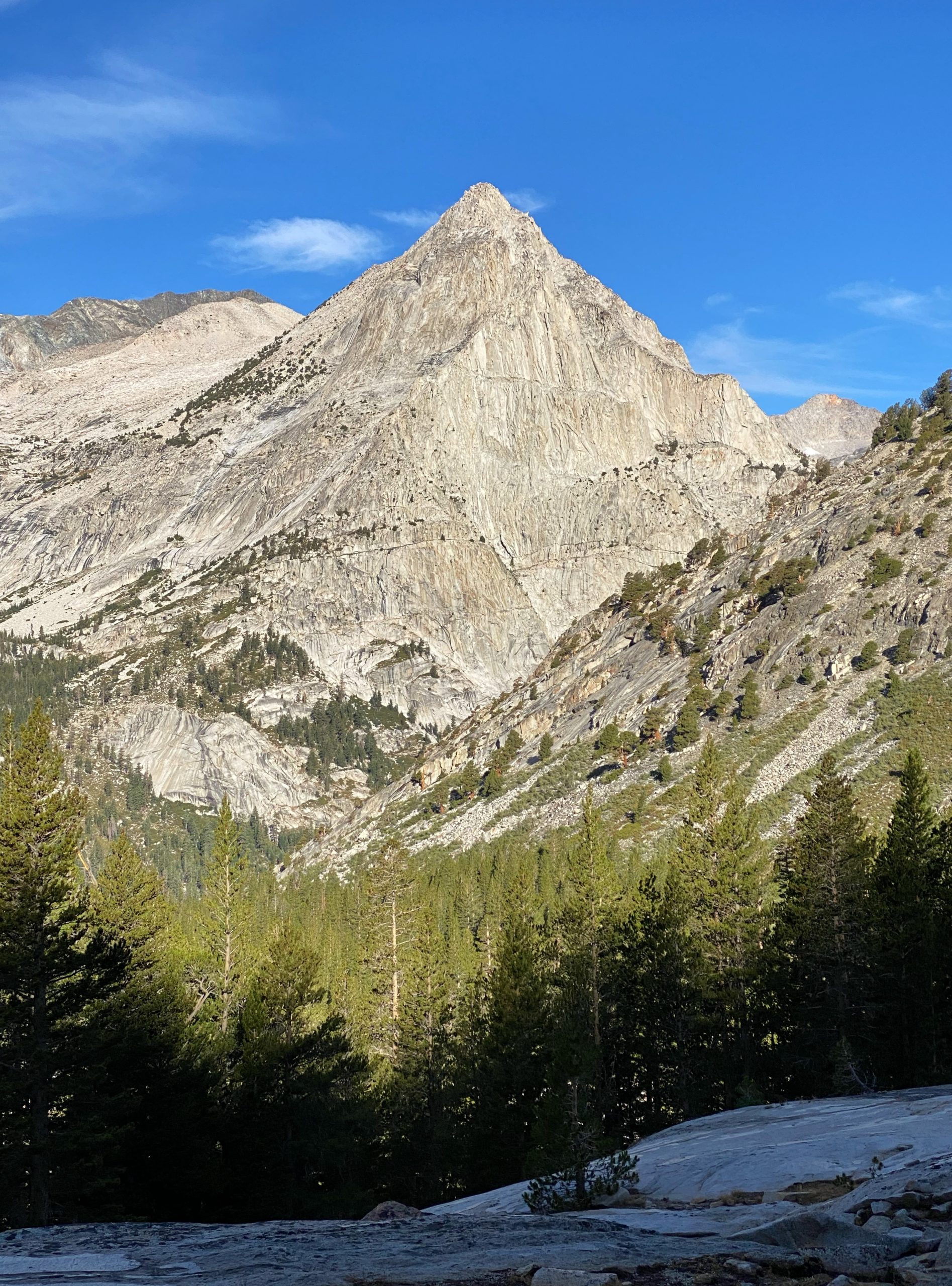
As we made our way to Evolution Basin, the trail continued to climb, soon passing views of the Hermit and other striking mountains.

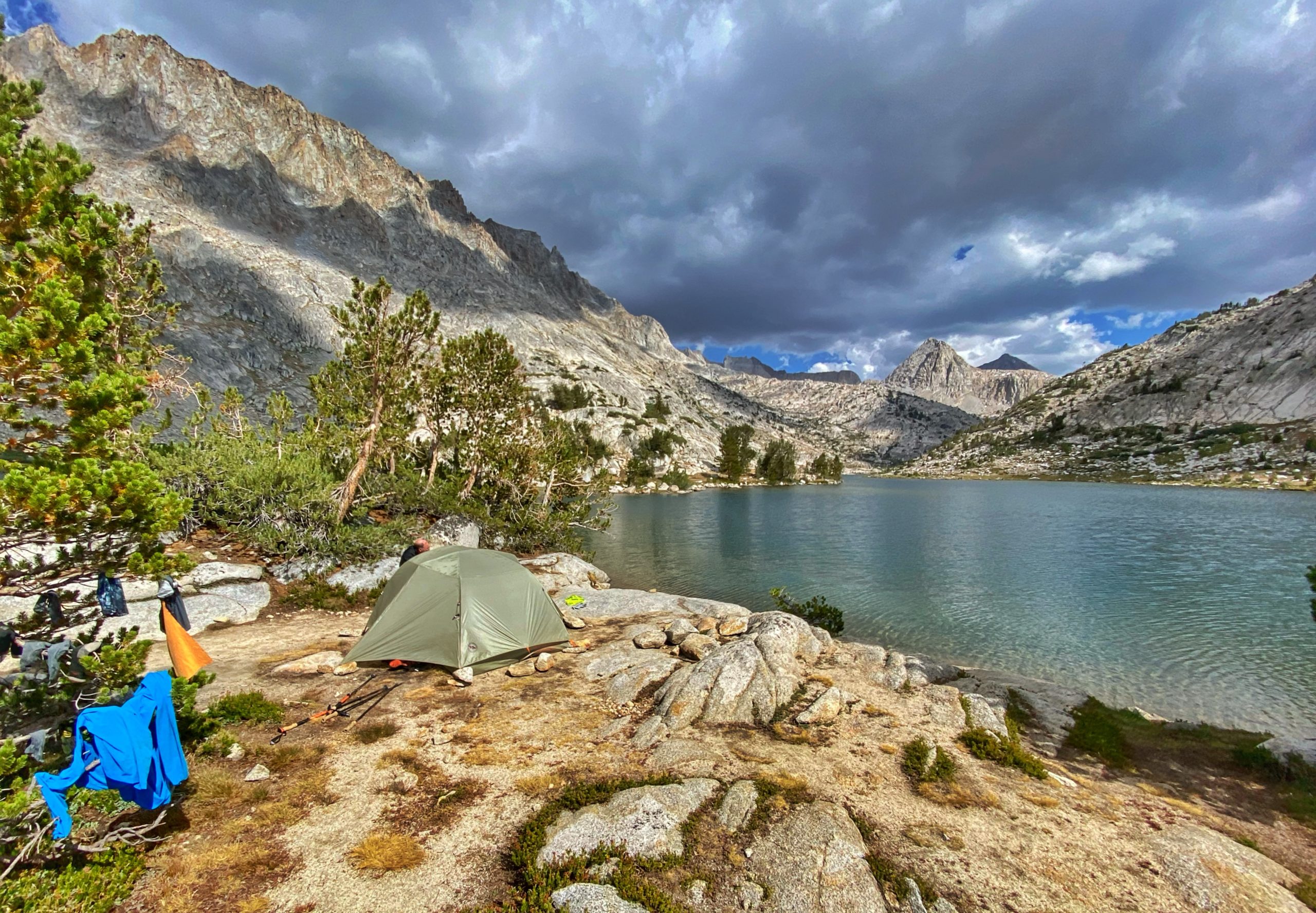
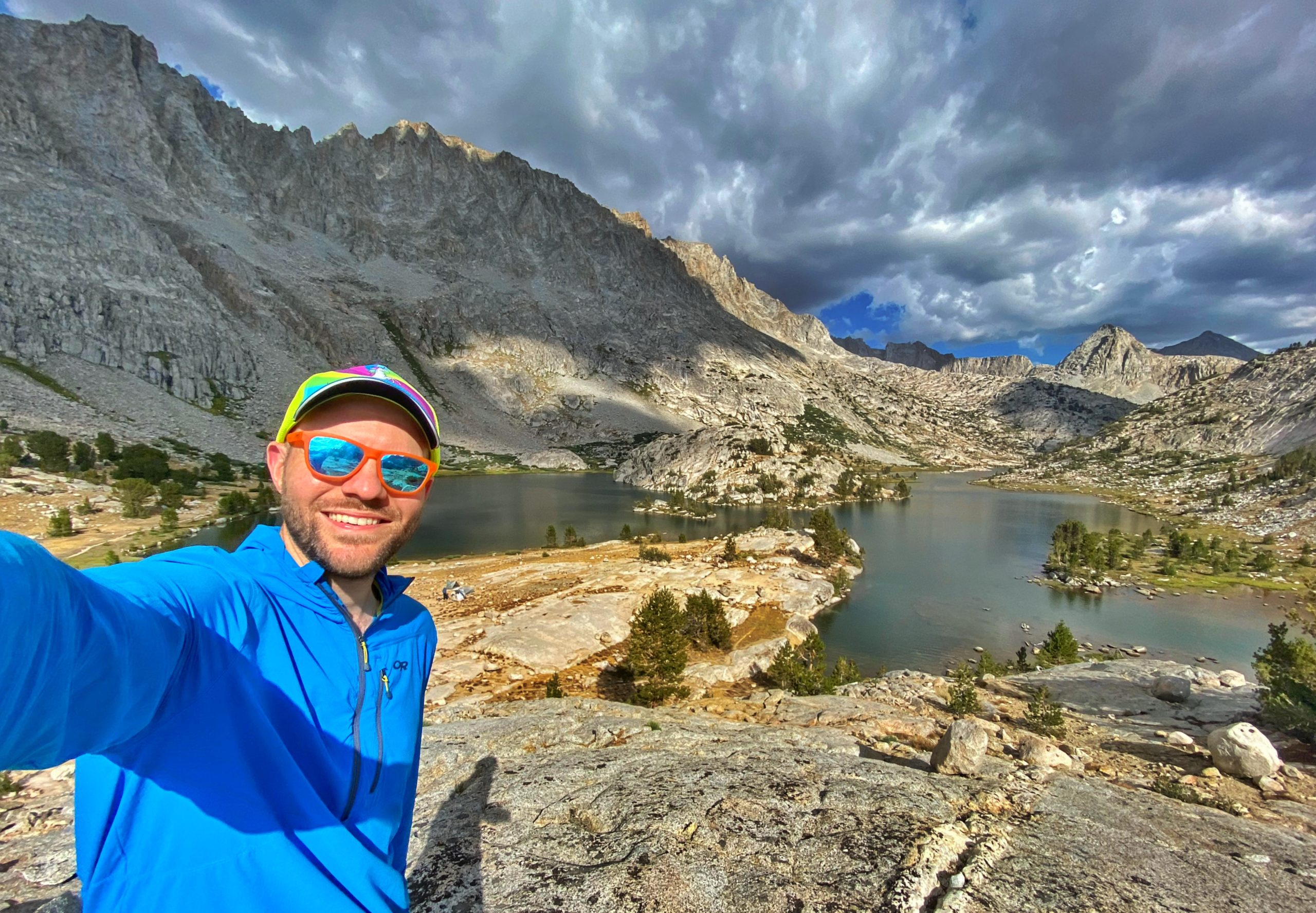
We finally reached our destination Evolution Lake, which is a dramatic location because it is flanked by tall, steep mountains – Mt. Mendel, Mt. Darwin, Mt. Spencer. We found a great tent site on a small peninsula jutting out into the lake. Evolution Lake The site was partly shielded from the wind by trees and had our own “private” beach.
We both took a dip in the lake, did laundry, and hung our clothes out to dry.
-

Going for a swim -
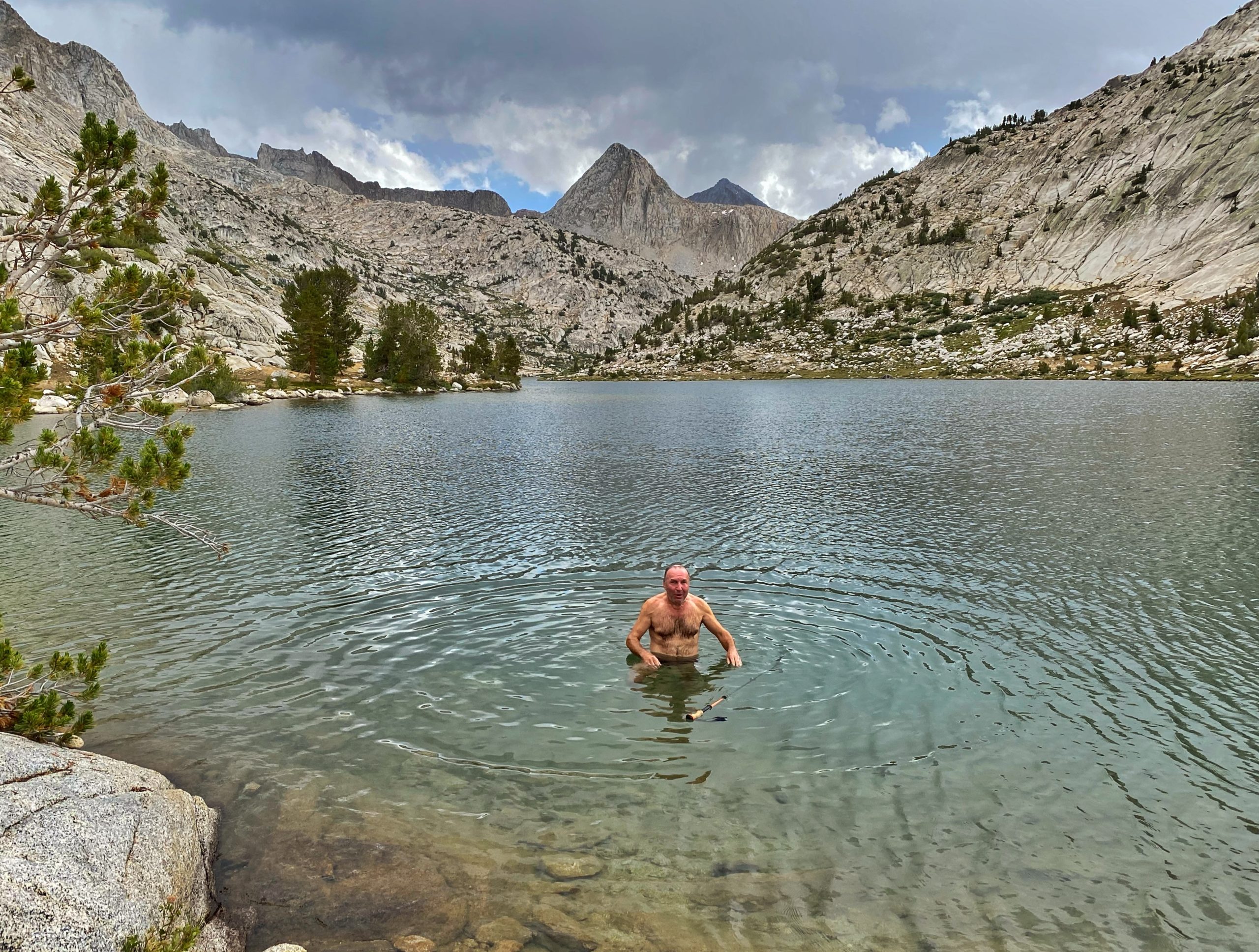
Taking a dip
Almost as soon as we got out of the lake, we were hit by a hail storm so we got inside our tents to ride it out.
-
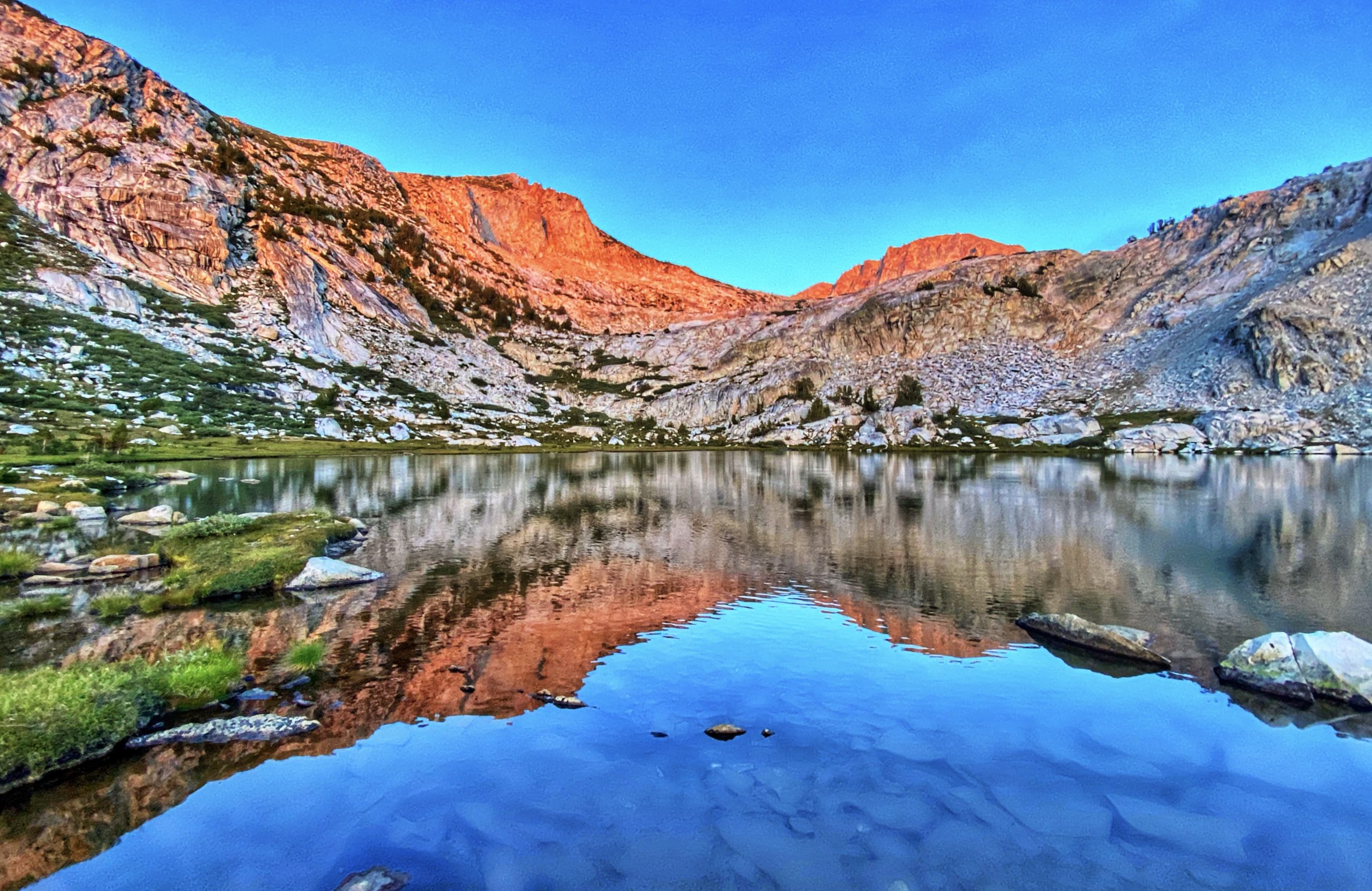
Evolution Lake -
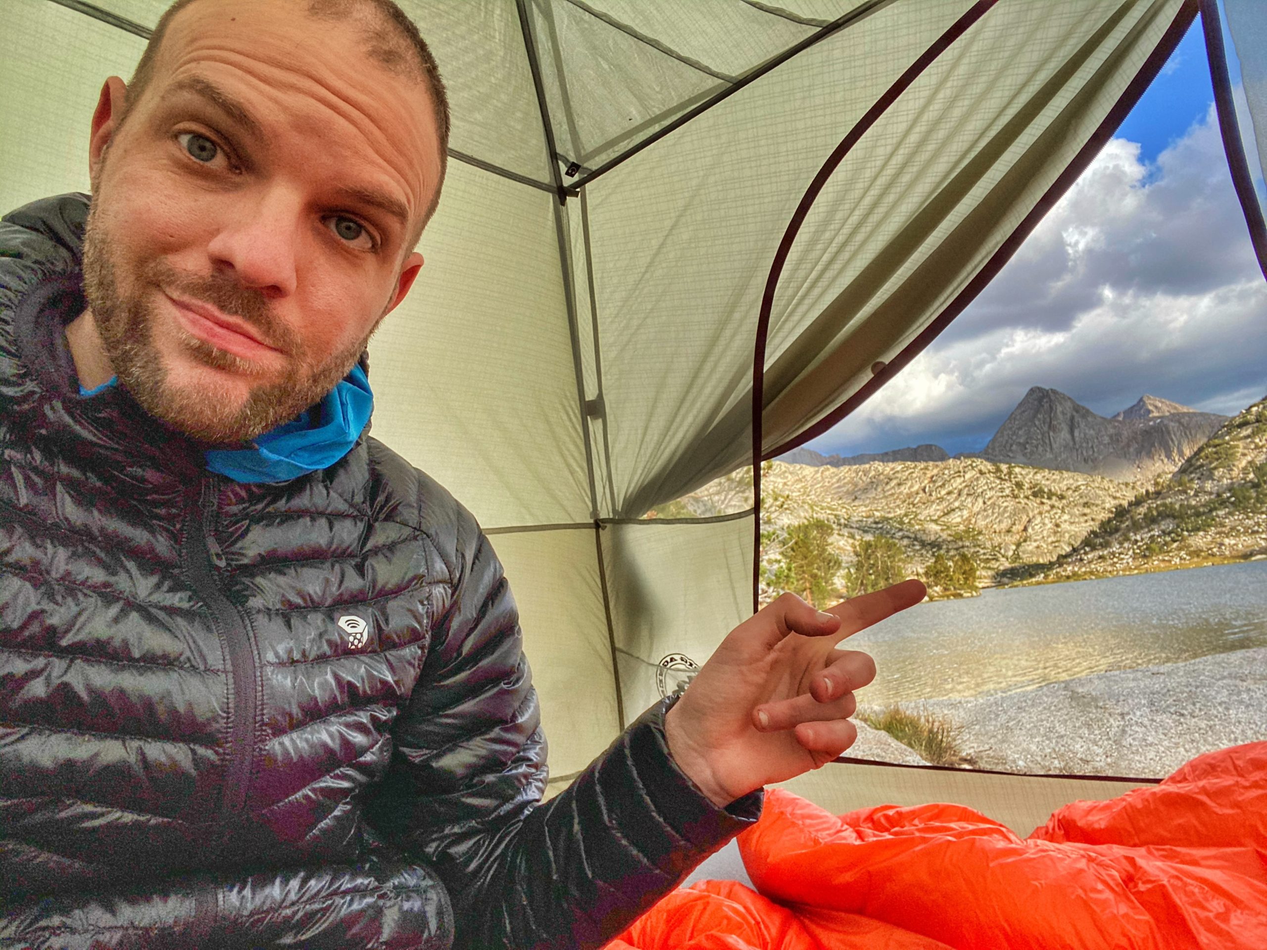
A room with a view -

Me and my dad -

Dinner at Evolution Lake
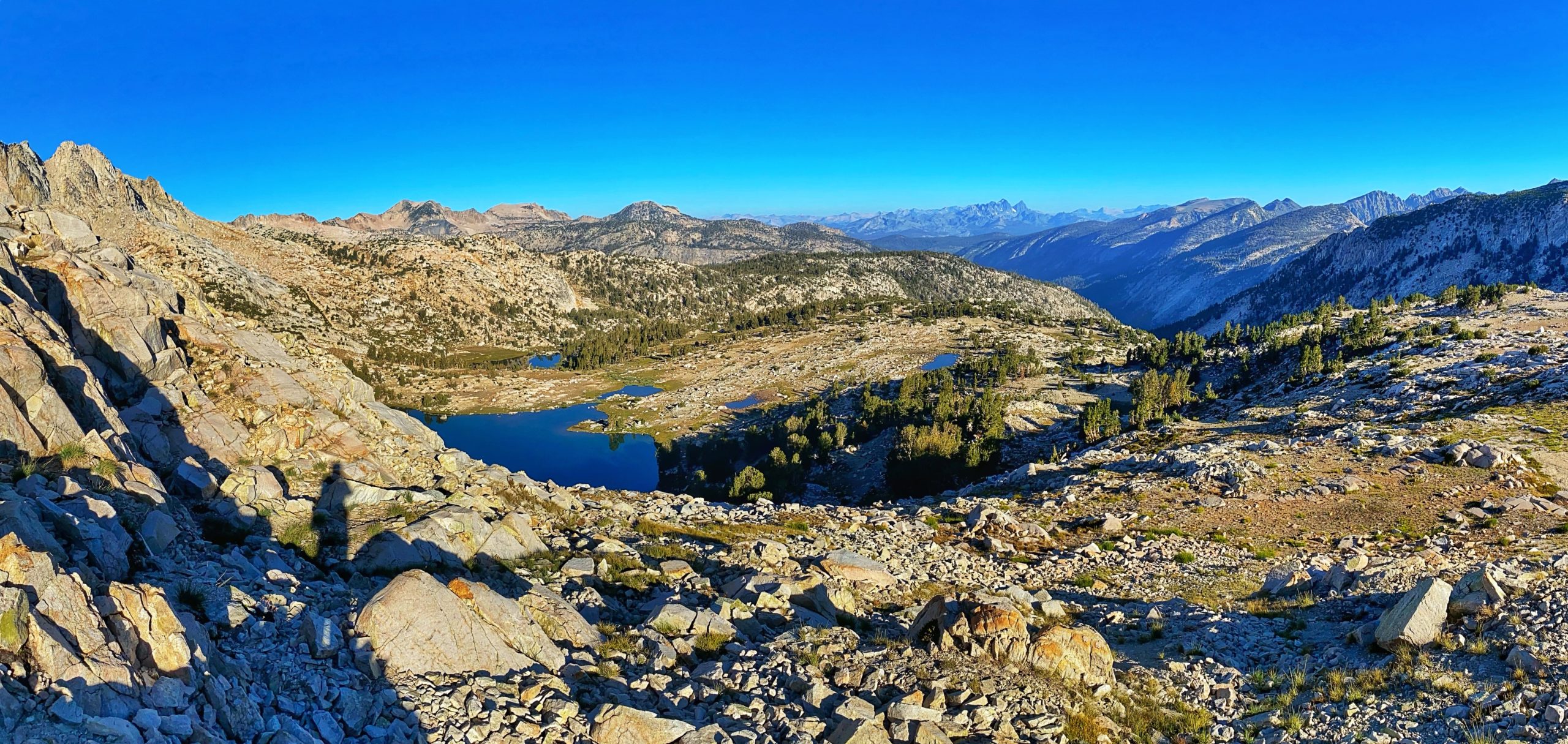
Sunset was spectacular. I climbed up to a ridge just north of the lake which offered an amazing panoramic view in all directions. The last rays of light from the setting sun lit up the peaks behind Evolution Lake with glowing orange and red.
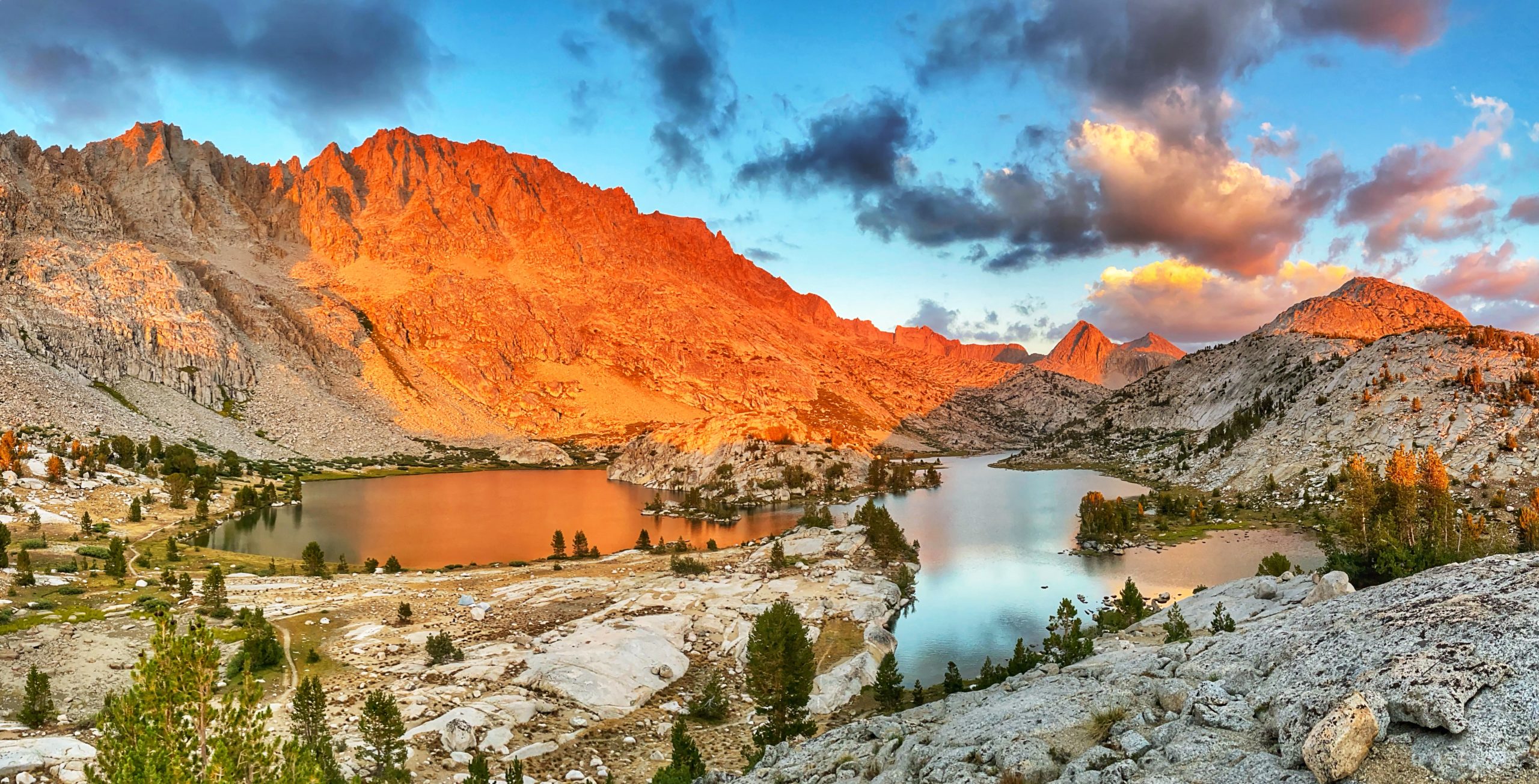
The view of the sunset to the west – including purple mountains – was just as dramatic.

Dad and I took a dip in the lake and washed our clothes. Feels nice to be “clean” again. Just as we finished setting up camp, we got hit by a fierce hail storm. Wow!
journal excerpts, 8-10-20
Day 5
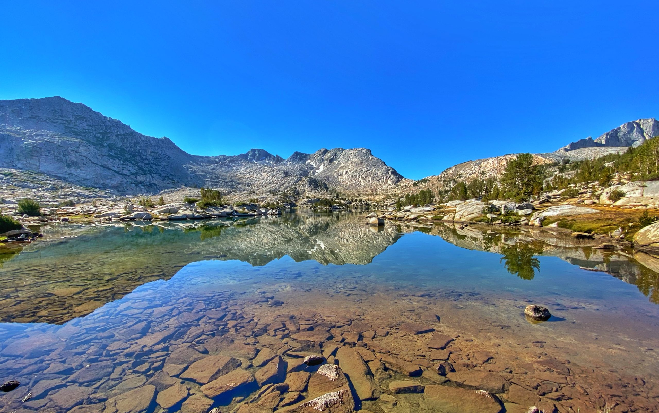
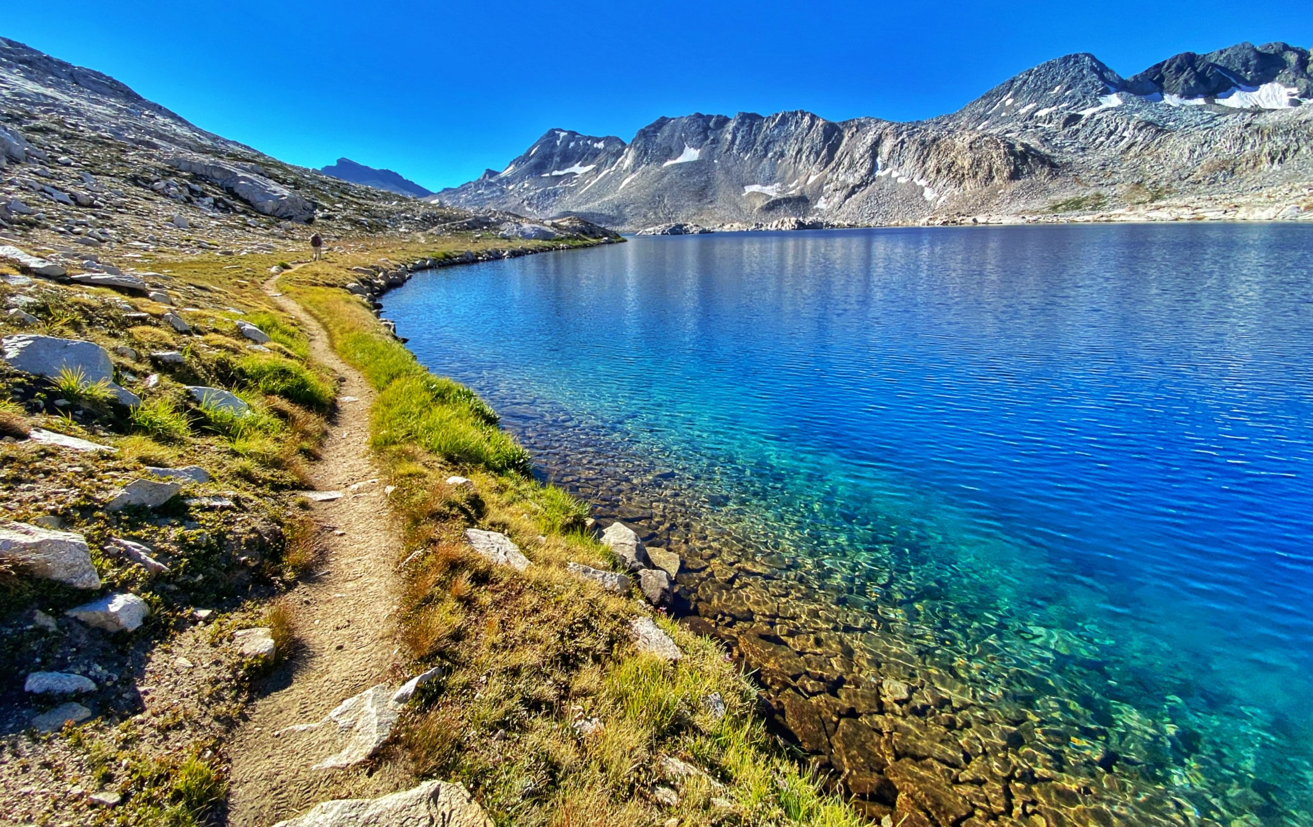
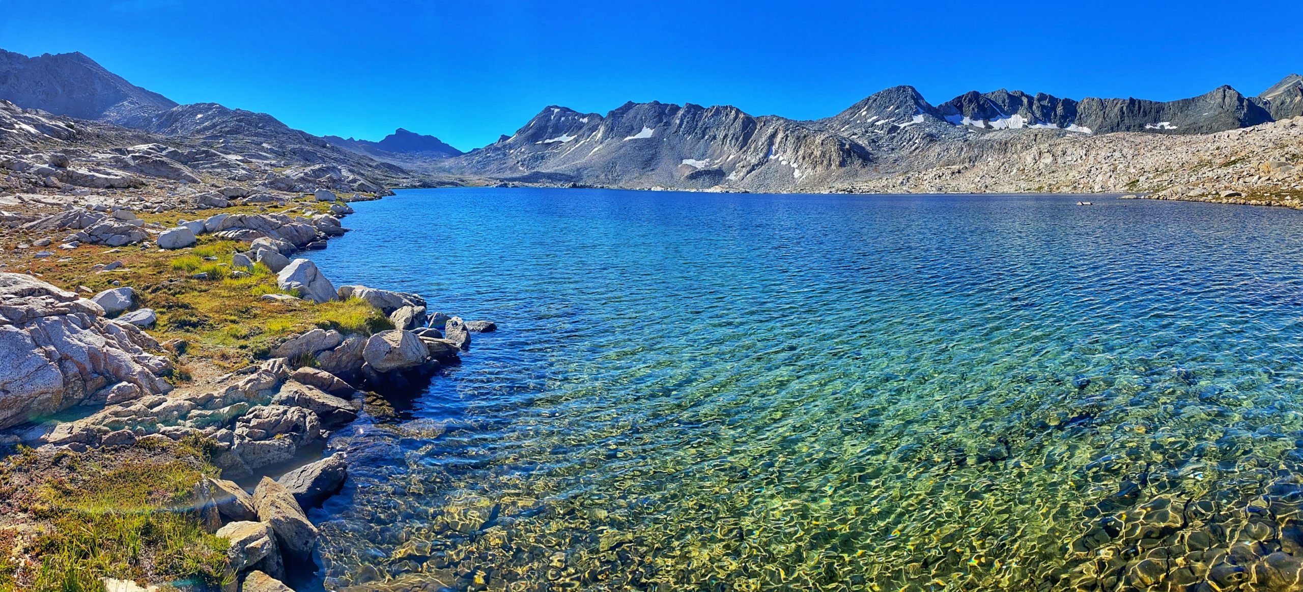
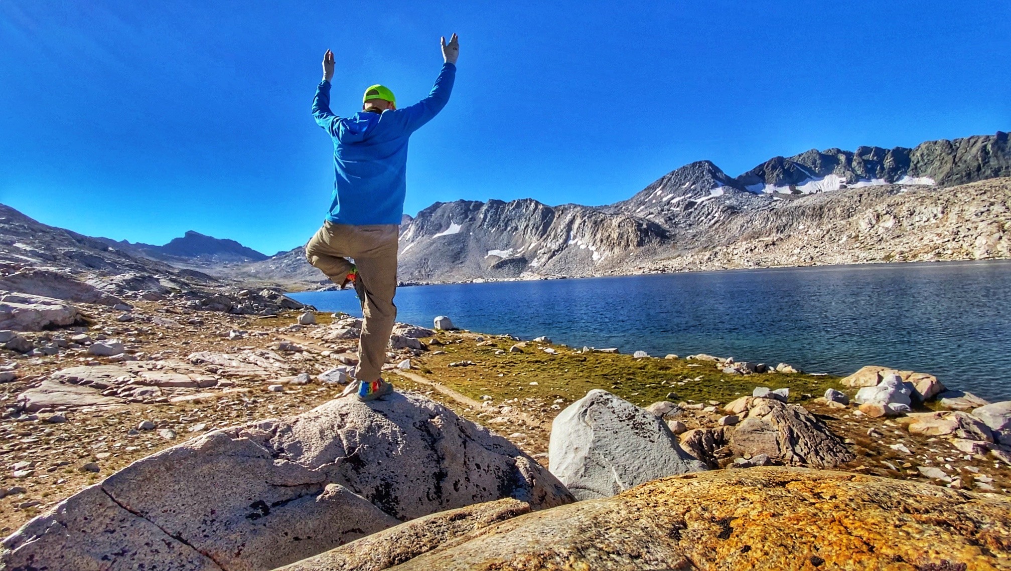
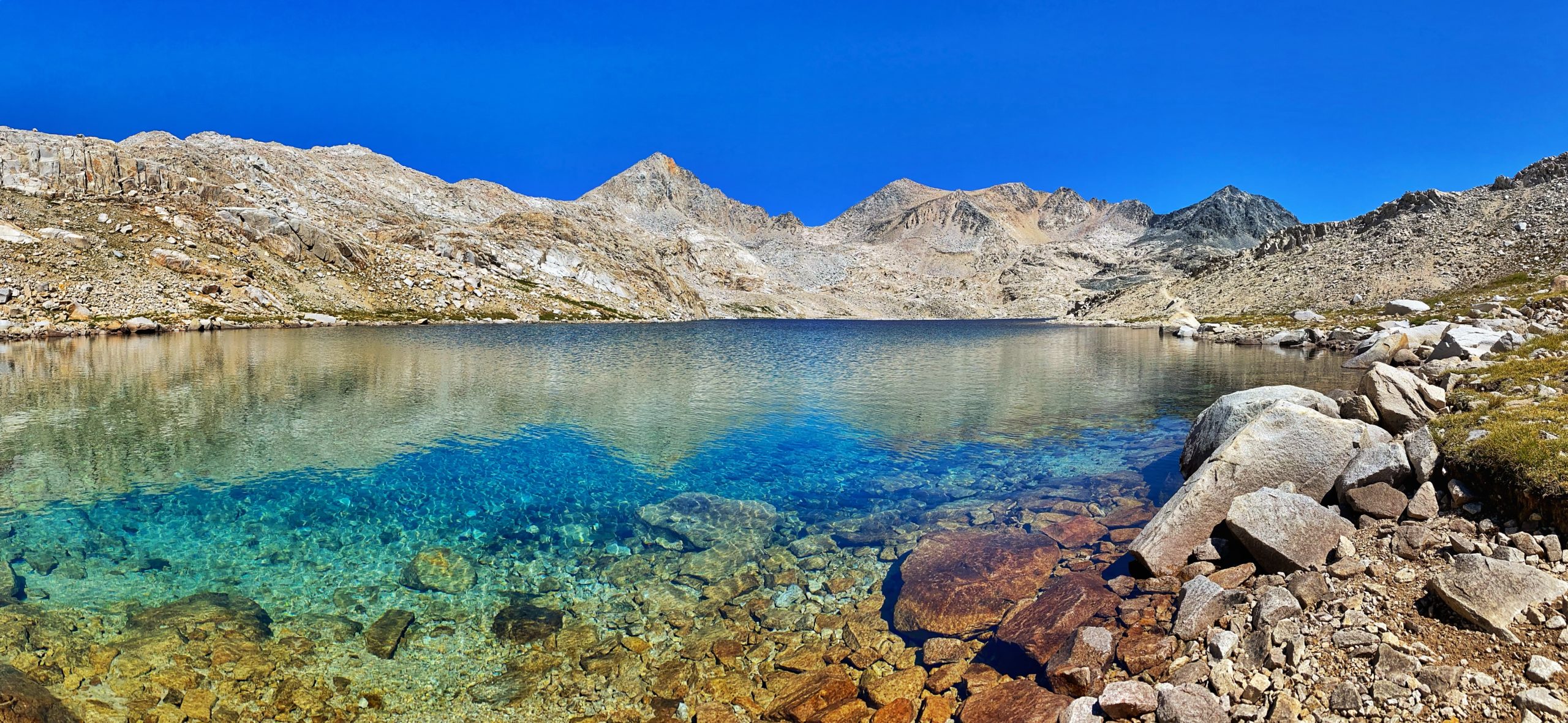
Piute Creek to Little Pete Meadow (13.4 miles). We woke up before 5am. It was a brisk morning, under 40 degrees, so we struggled to get out of our sleeping bags and we decided to stay in an extra half hour to warm up. We set off around 7am and quickly passed Sapphire Lake.
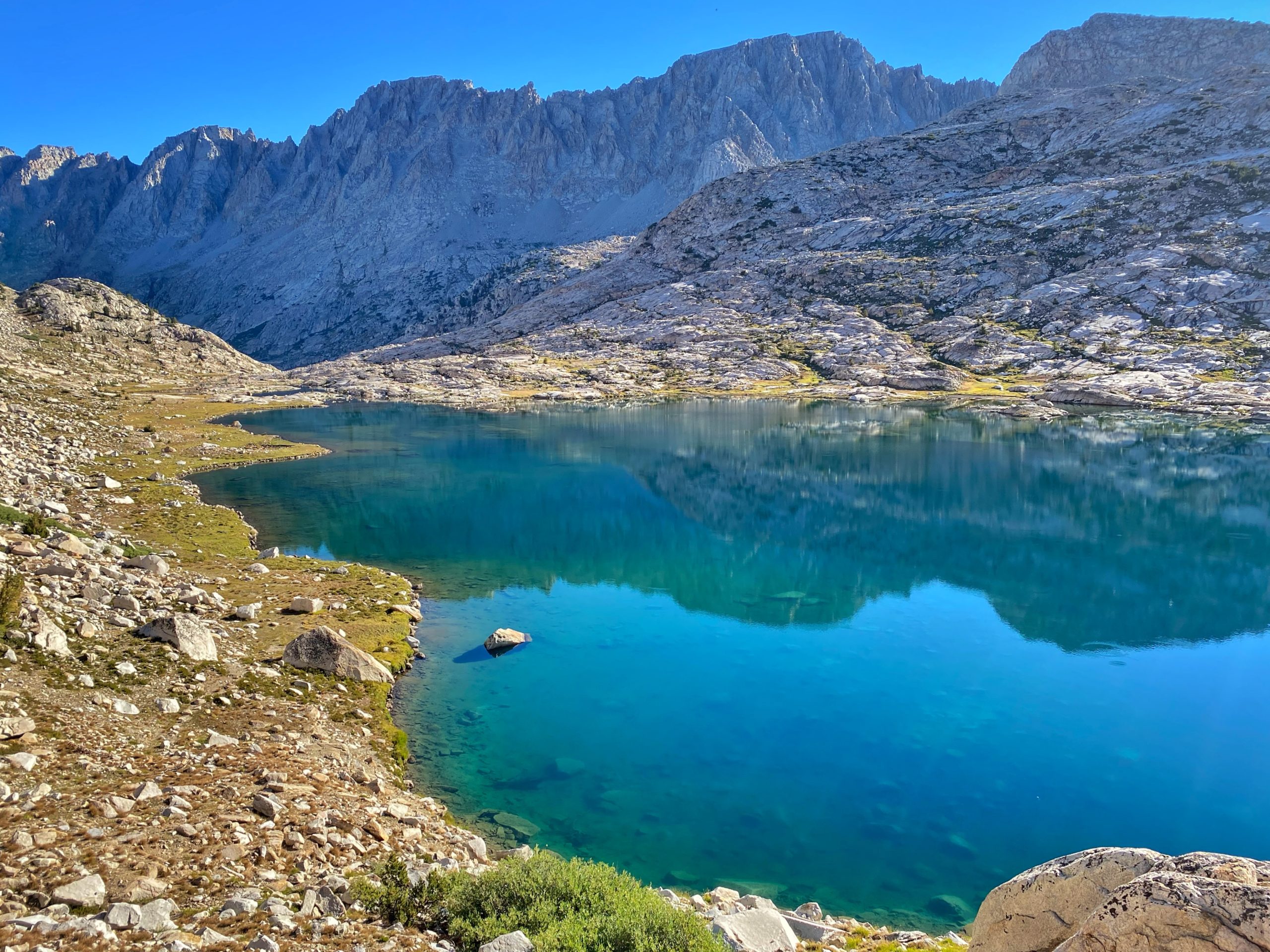
Wanda Lake, named after one of John Muir’s daughters, was next, and it was beautiful. The rainbow of colors reflecting in its shallow waters was spectacular.
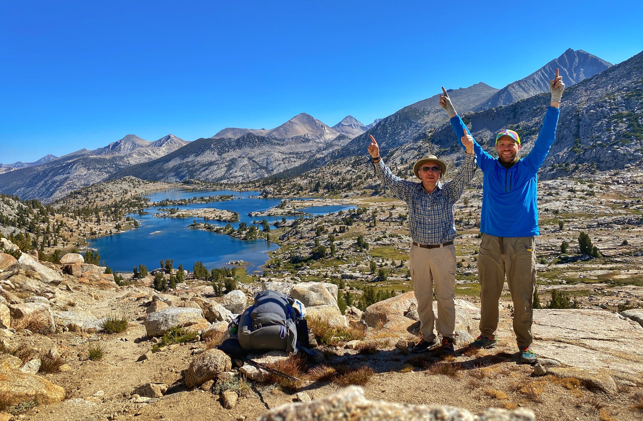
We finished the climb to the top of Muir Pass around 10:15am and had pulled pork wraps for lunch inside the Muir Hut, where a nice NOBO hiker took our picture.
-
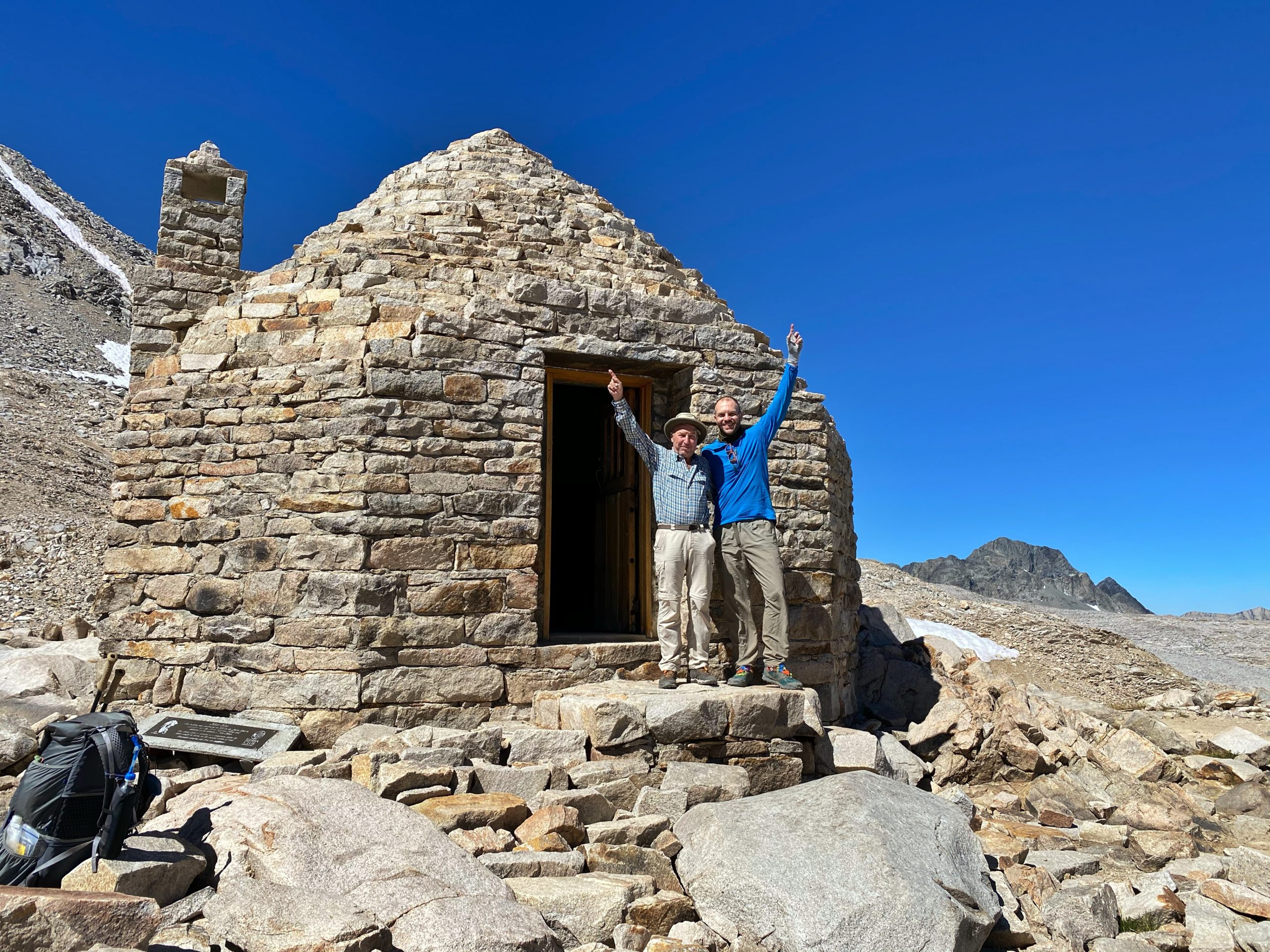
Celebrating at the Muir Hut -
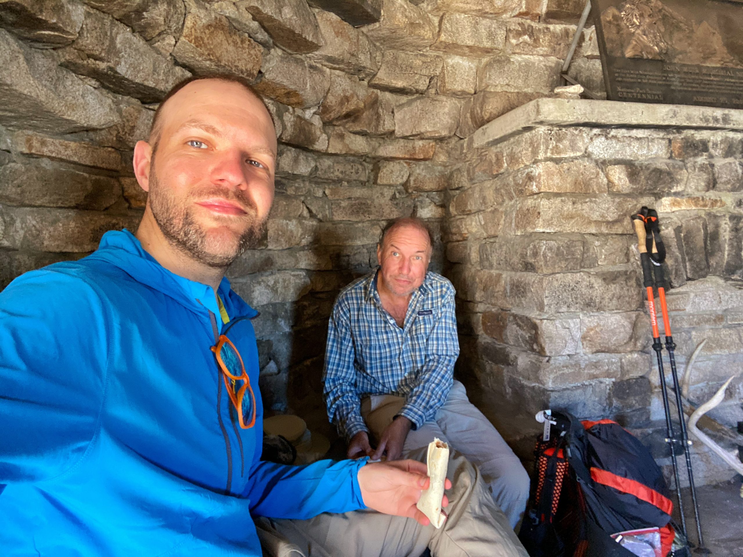
Lunch break
The descent on the other side of Muir Pass was rocky and challenging. We saw some snow patches by the trail as we passed by the lovely Helen Lake, also named for one of John Muir’s daughters.
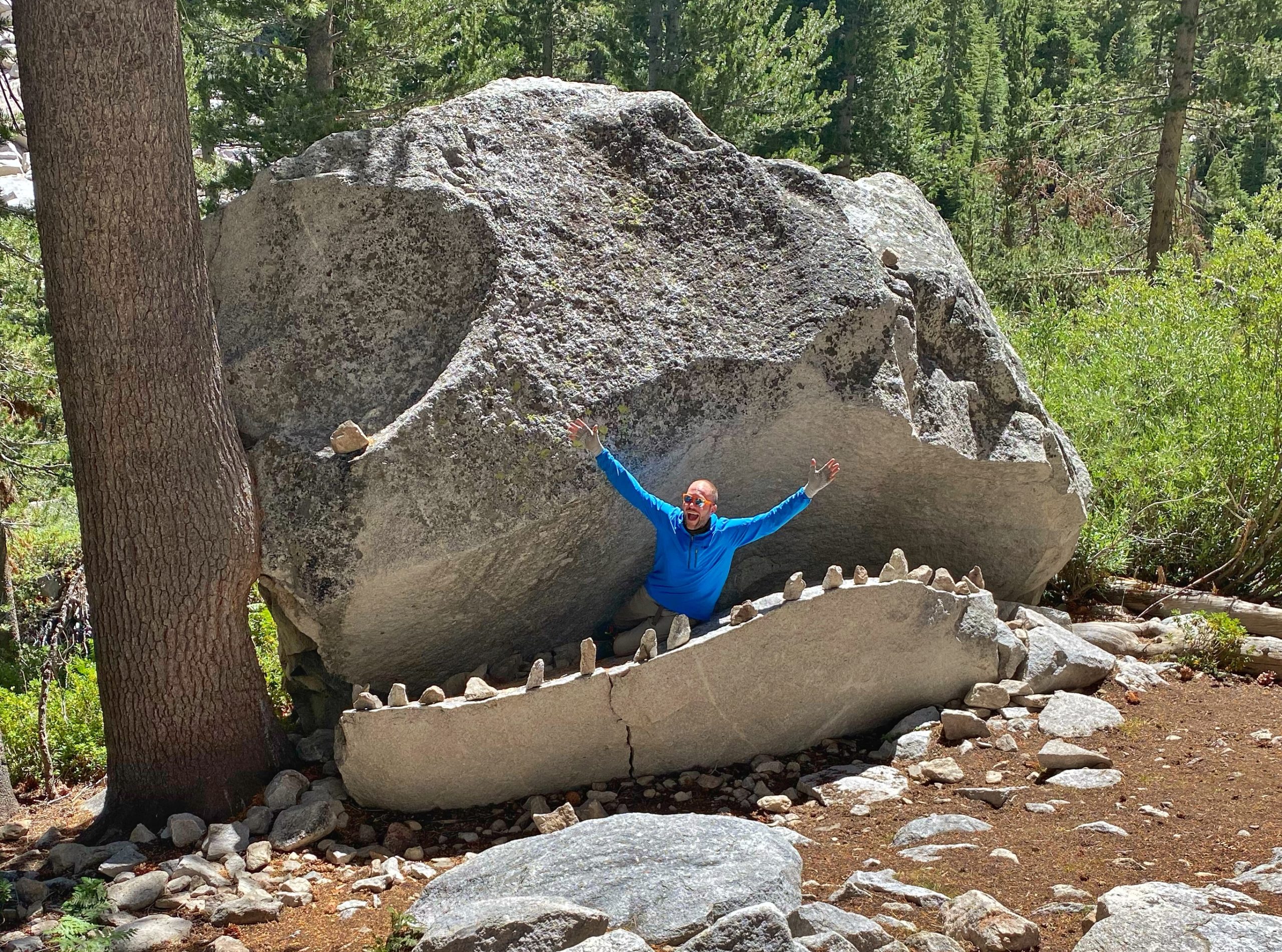
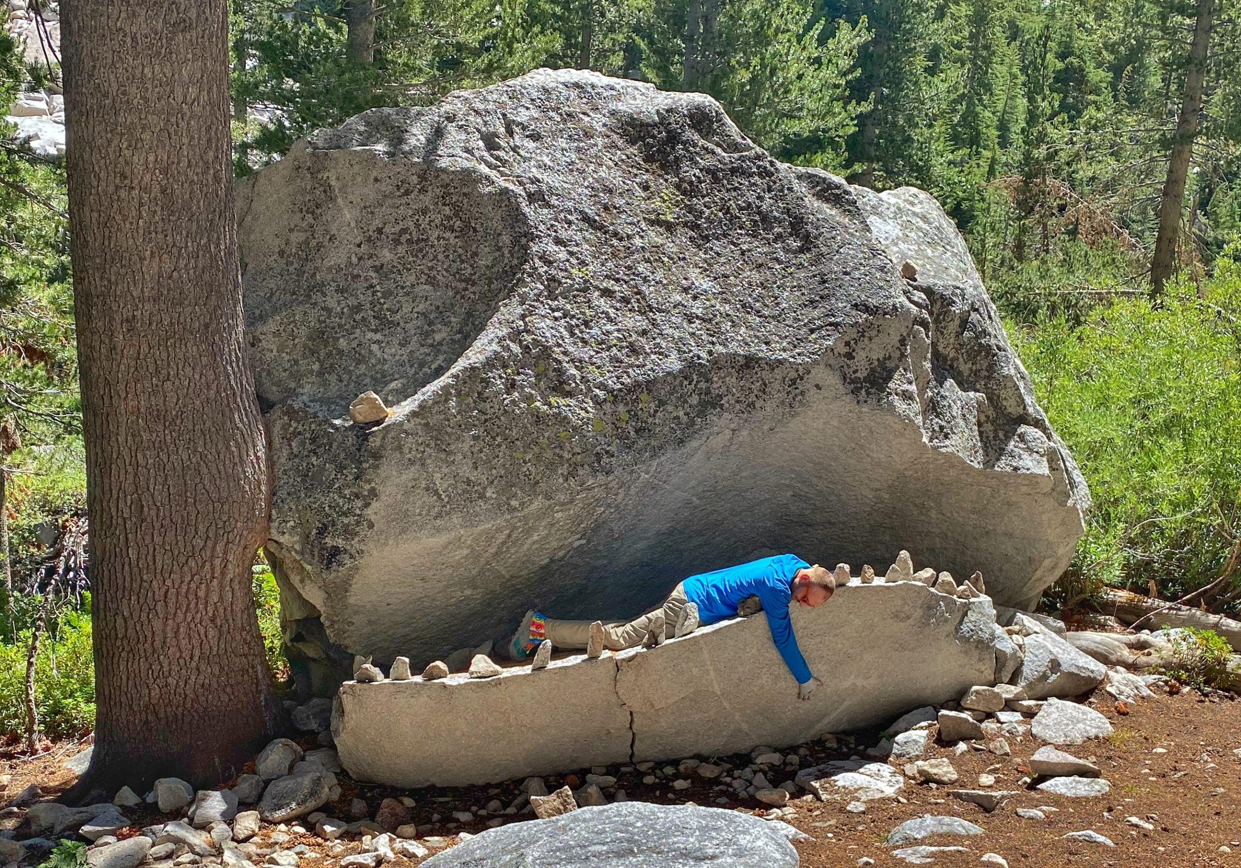
After descending a few thousand feet, we eventually reentered forest and made it to the infamous JMT Rock Monster. Of course we stopped for the obligatory silly photo-op.
A few miles later, we made it to Little Pete Meadow, where we decided to stop and make camp. At Little Pete Meadow, we would only be a half mile from the junction with the Bishop Pass Trail and the start of the Dusy Switchbacks tomorrow.
We got in our tent around sunset, and we immediately heard footsteps outside. I called out to ask if there was a person walking by, but there was no reply. Only more footsteps – very close to the tent. Somewhat anxious, I poked my head out to see who was there and about 10 feet away was a deer staring straight at me. He didn’t run. He came back around our tent a few more times that evening. I guess we were camping in his spot.
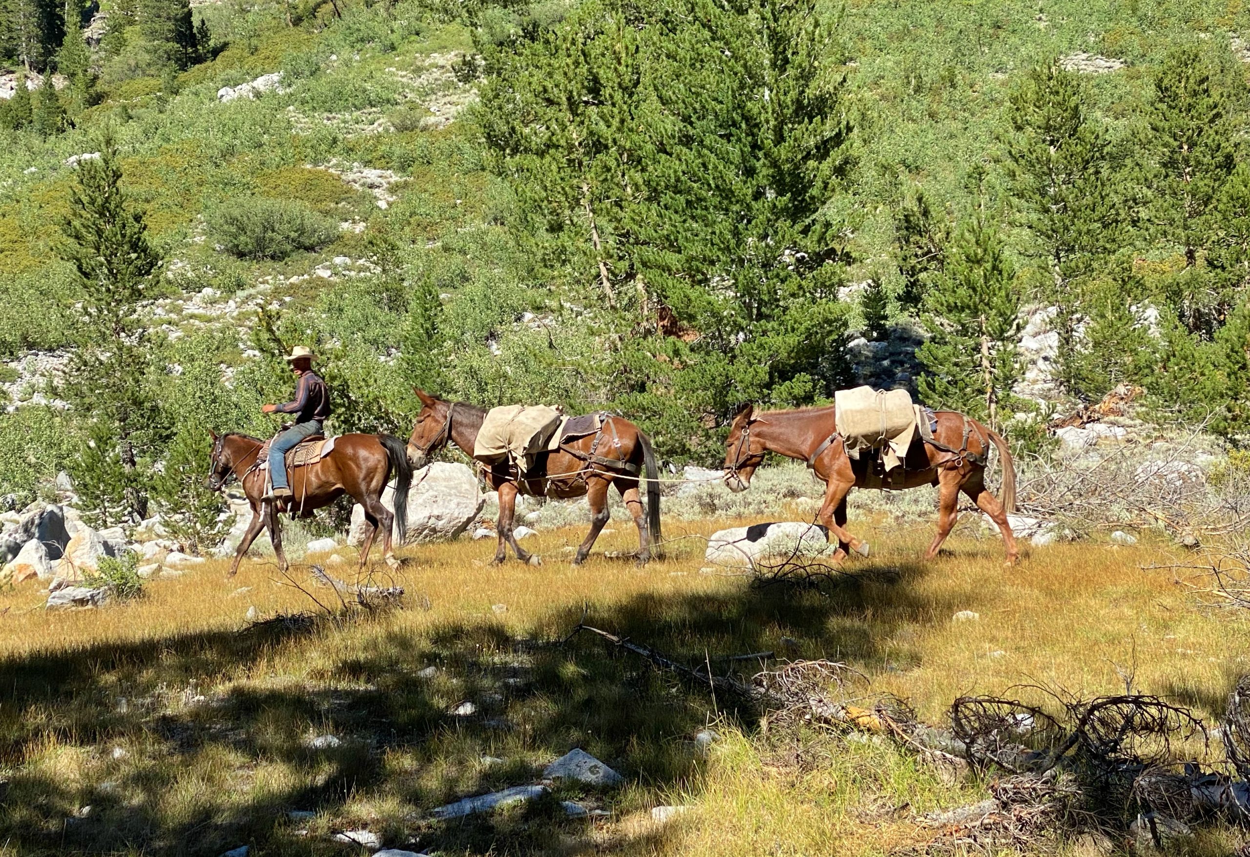
I washed my shirt in the river and rinsed off. A pack horse came by with a resupply for a big party at the other end of the meadow. Tomorrow is planned to be our last day. Only about 11 miles but over 4,000 feet up over Bishop Pass. I can’t wait to inhale a giant pizza.
journal excerpts 8-11-20
Day 6
Little Pete Meadow to South Lake (11.4 miles). We broke camp and followed the Middle Fork Kings River for about a half mile until we reached the junction with the Bishop Pass Trail.
We turned off the John Muir Trail and onto the Bishop Pass Trail and made quick progress up the Dusy Switchbacks. The hike up was unrelenting, but the views were worth it.

After the switchbacks, we reached the beautiful Dusy Basin where we refilled our water at small stream in a meadow and then stopped for a snack.
On our final ascent to Bishop Pass, I broke the bottom section of one of poles. Bummer.
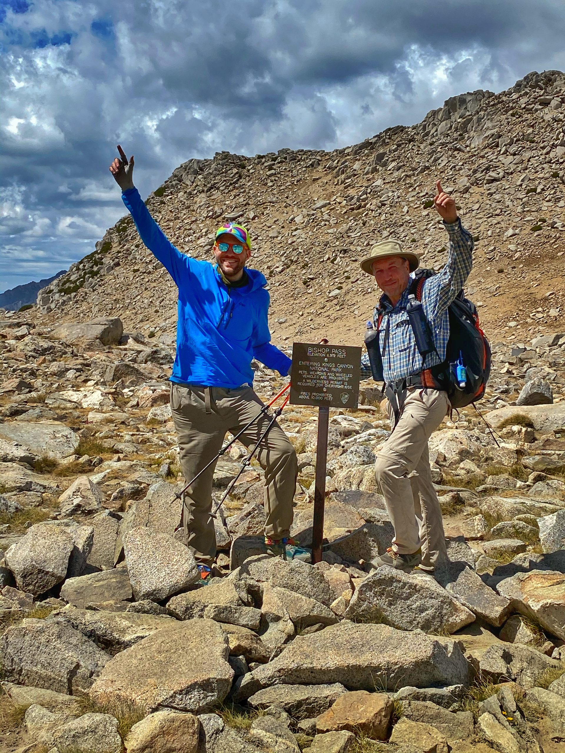
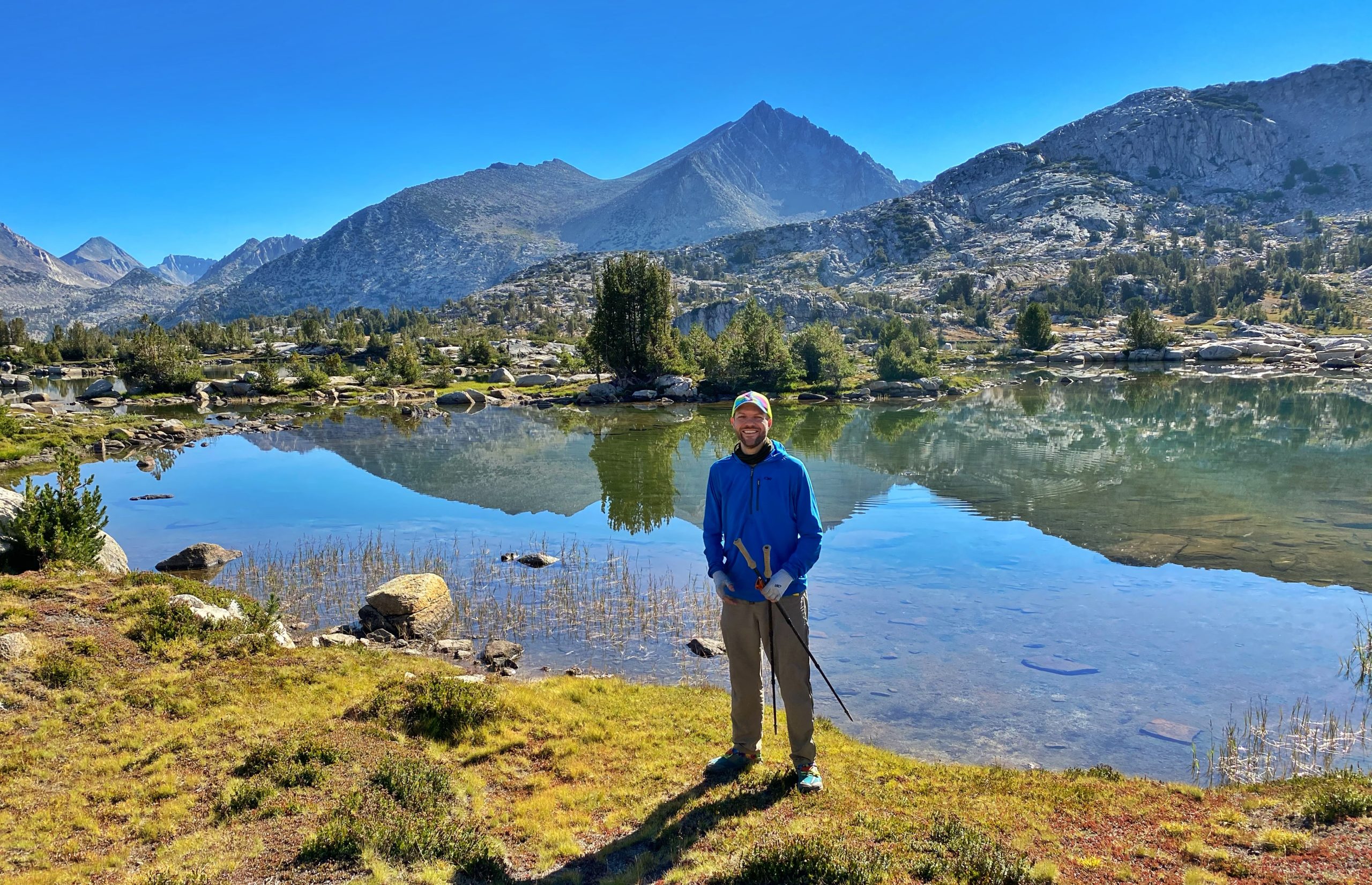
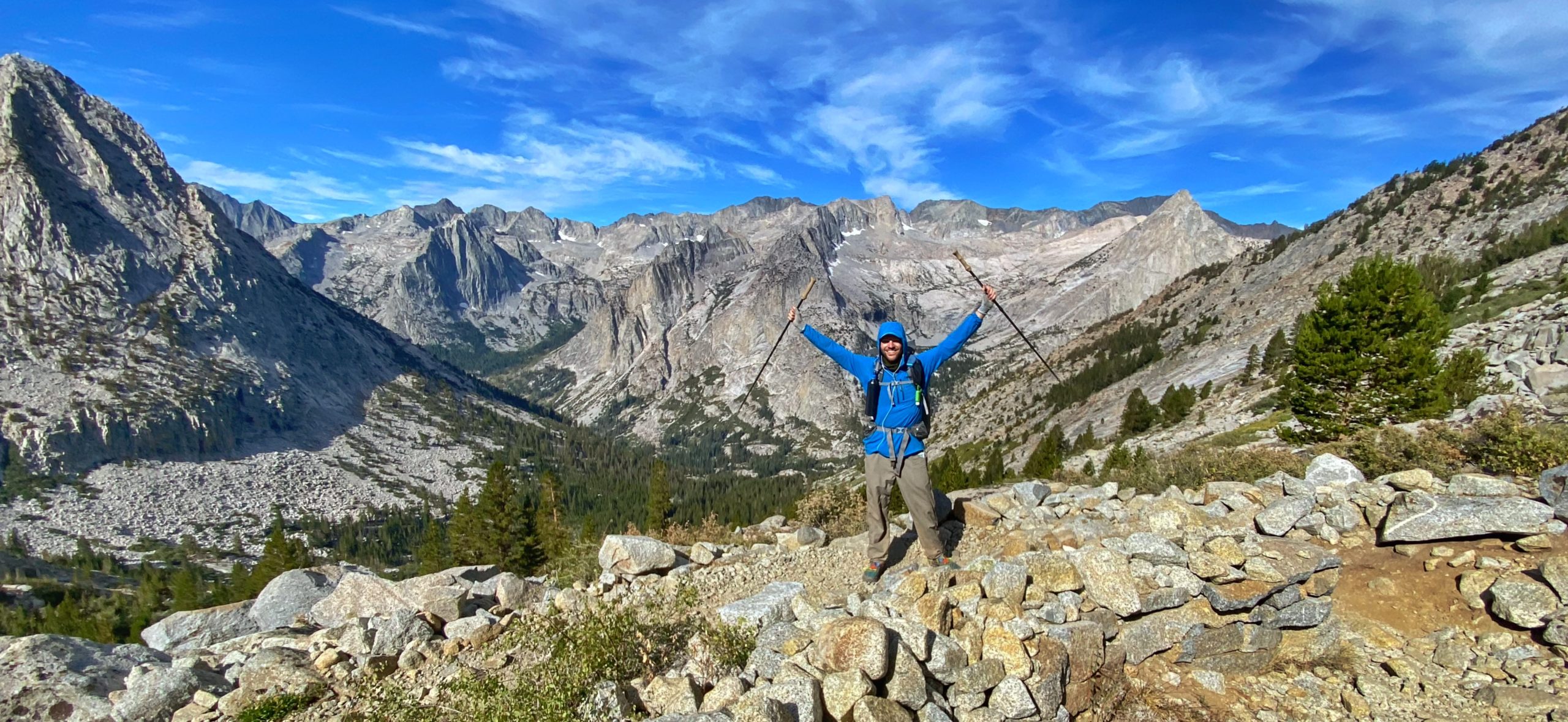
There are no real views from the top of Bishop Pass, but once you start to descend, the views of the lakes and valley are spectacular.
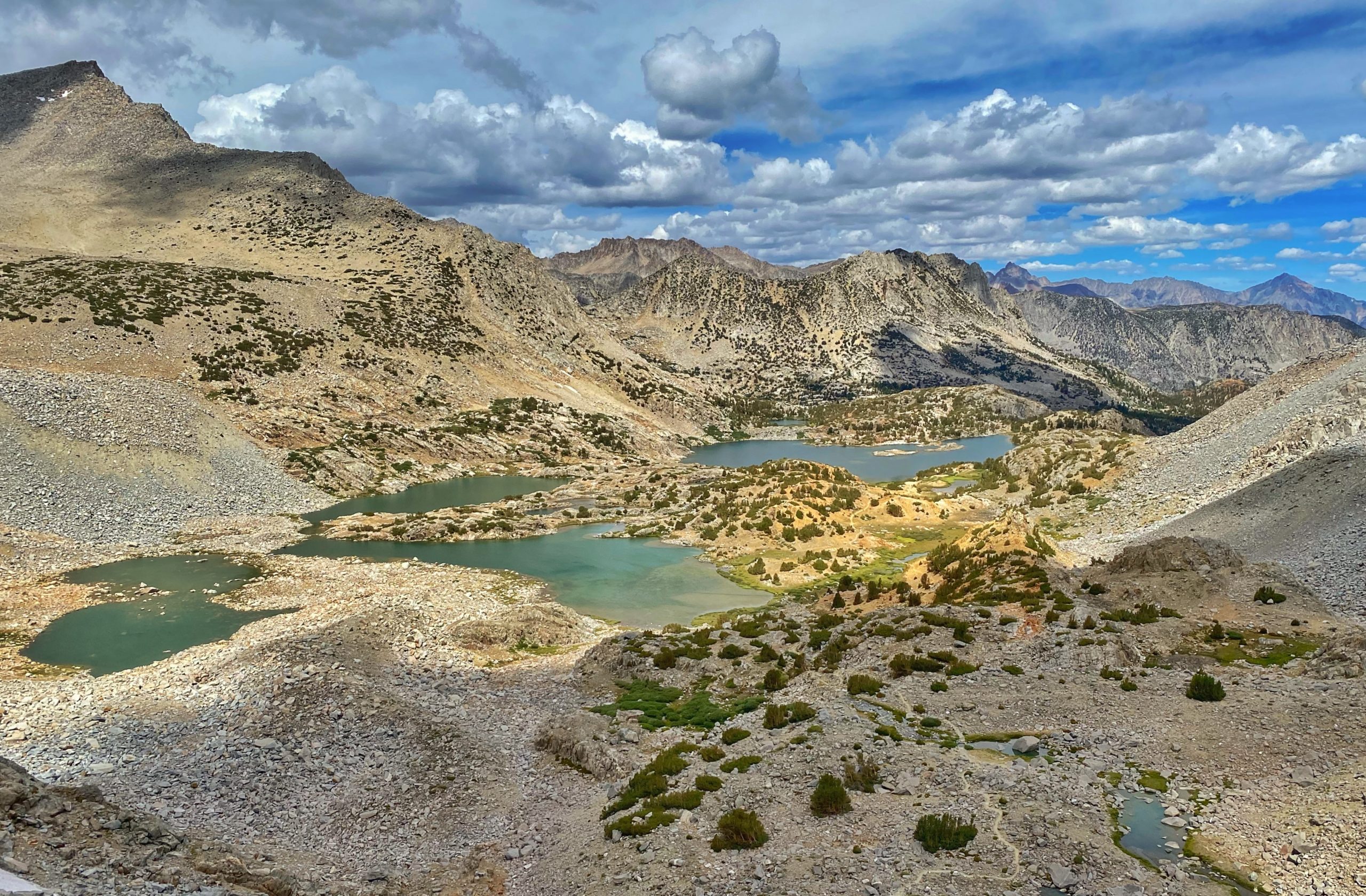
We also passed the site of the area where dozens of mule deer slid and fell to their deaths in 2017. Even three years later, it still smells a little.
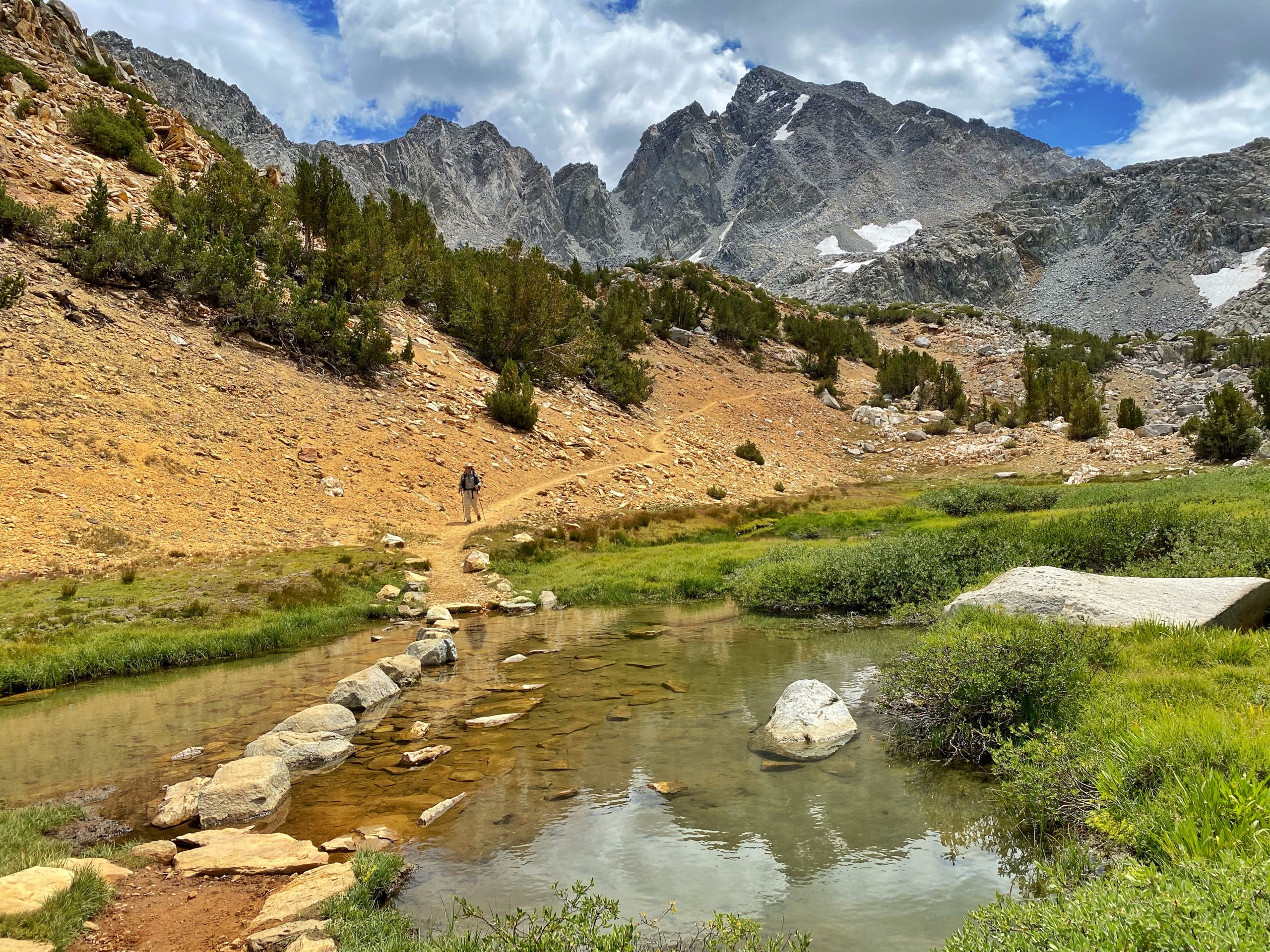
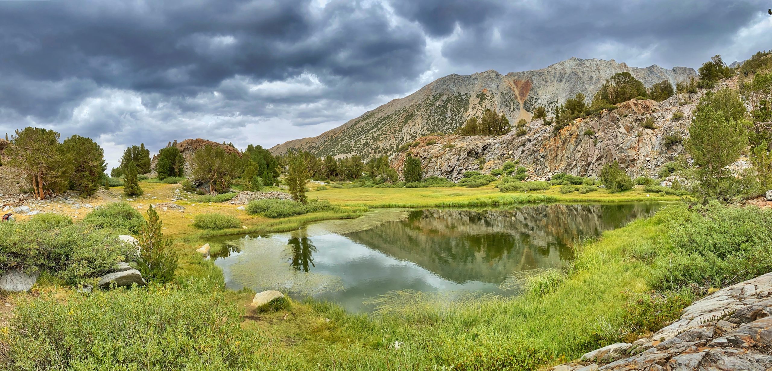
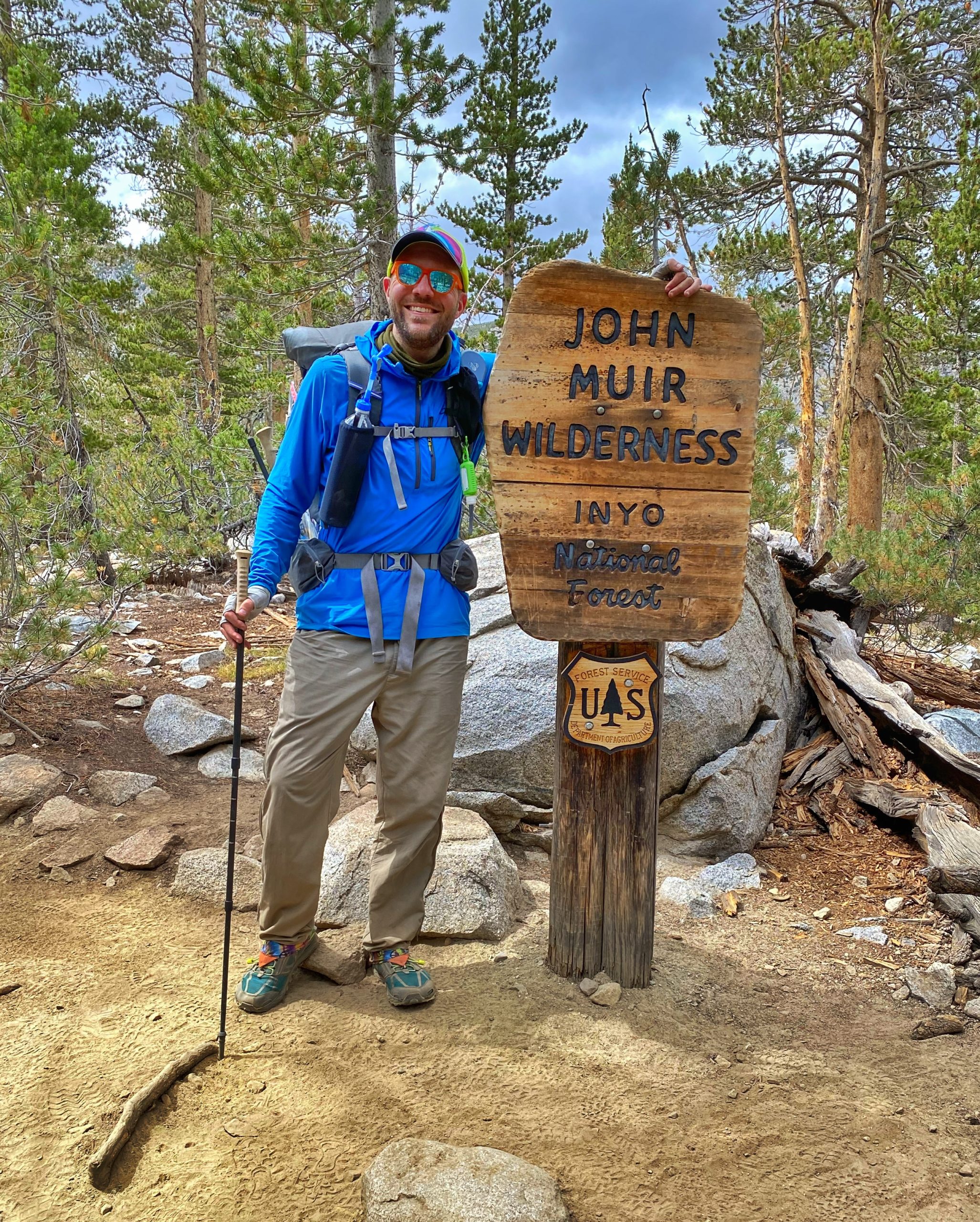
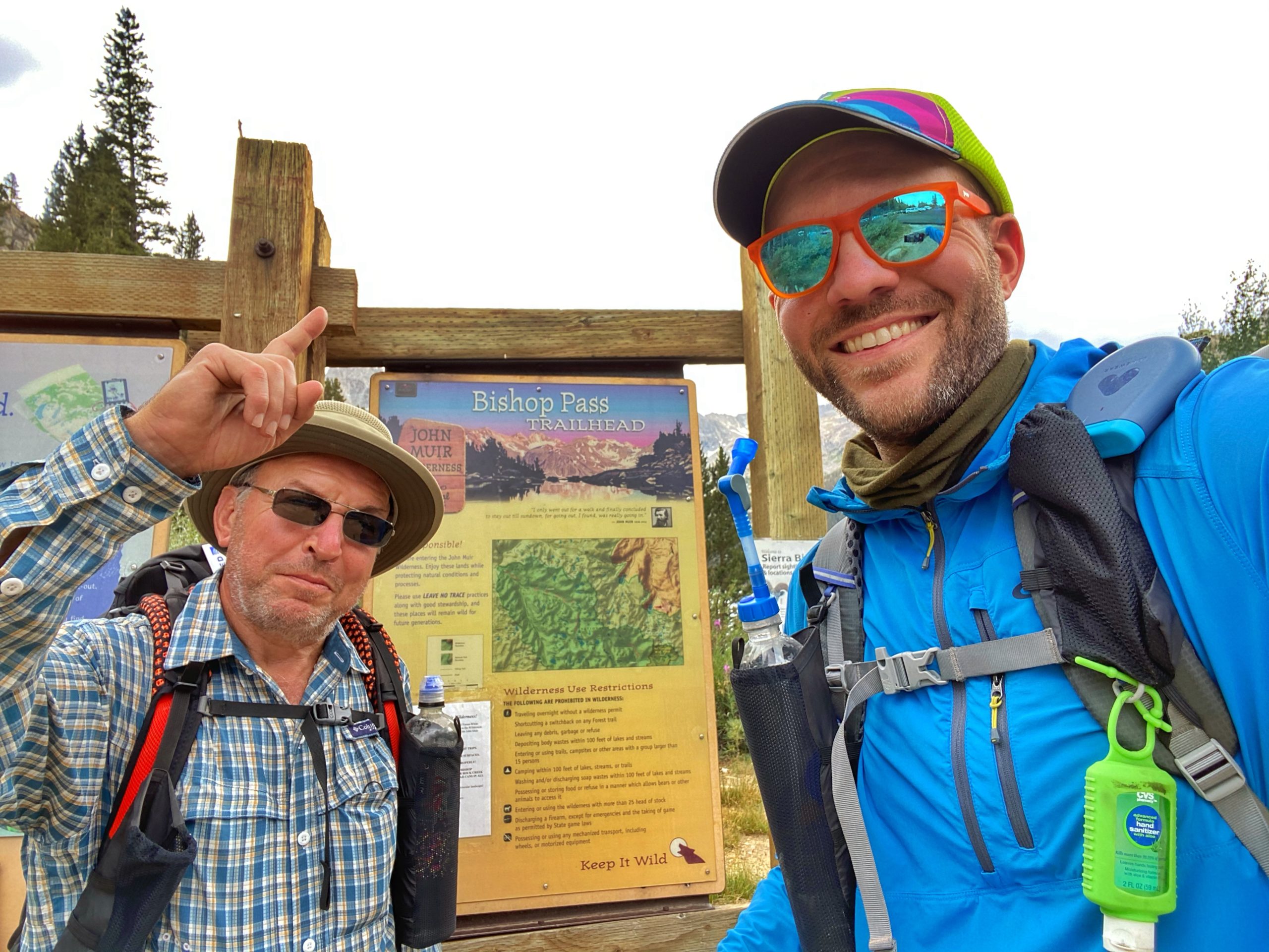
During the final few miles, we passed many pretty lakes, a wide variety of ecosystems and what seemed like more wildlife than we had seen in the previous 80 miles. When we reached the trailhead at South Lake, we took a celebratory photo.
We got into our rental car and drove back to our hotel in Bishop.
We devoured a large pizza and most of a chicken parm meal, some beer, and wine, plus some chocolate. This was quite an adventure and easily the greatest scenery I’ve ever seen. Can’t wait to finish the JMT with part 3 next year.
journal excerpts 8-12-20


