This is the 3rd of 3 section hikes of the entire John Muir Trail. Read the other trip reports for Part 1: Reds Meadow to Yosemite Valley and Part 2: Duck Pass to Bishop Pass.
Overview of John Muir Trail from Bishop Pass to Mt. Whitney
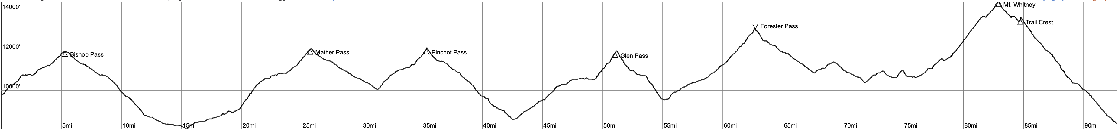
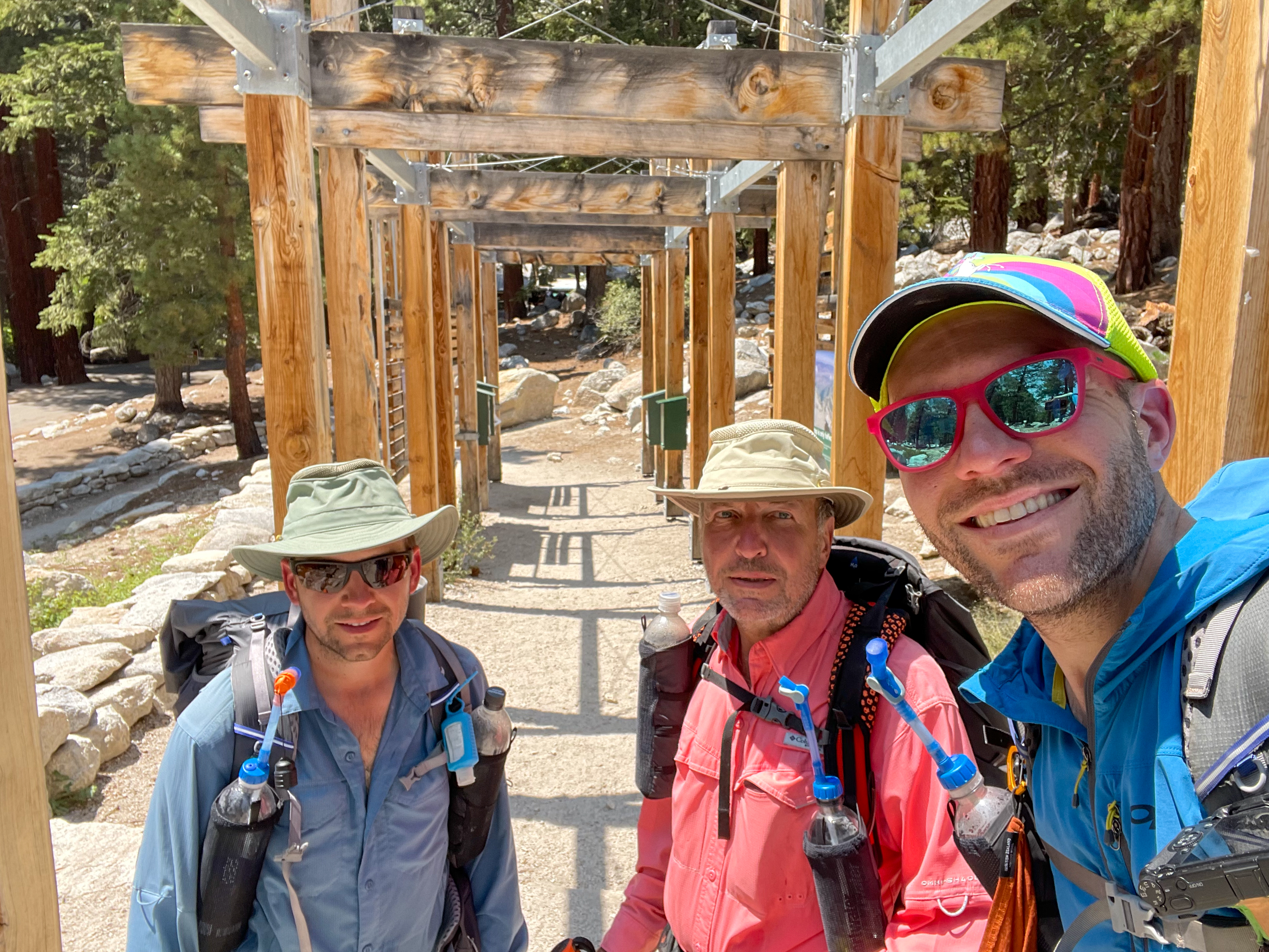
Over 7 days in August of 2021, my dad and a brother and I hiked about 93 miles as the final part of our 3-part section hike of the 220-mile John Muir Trail.
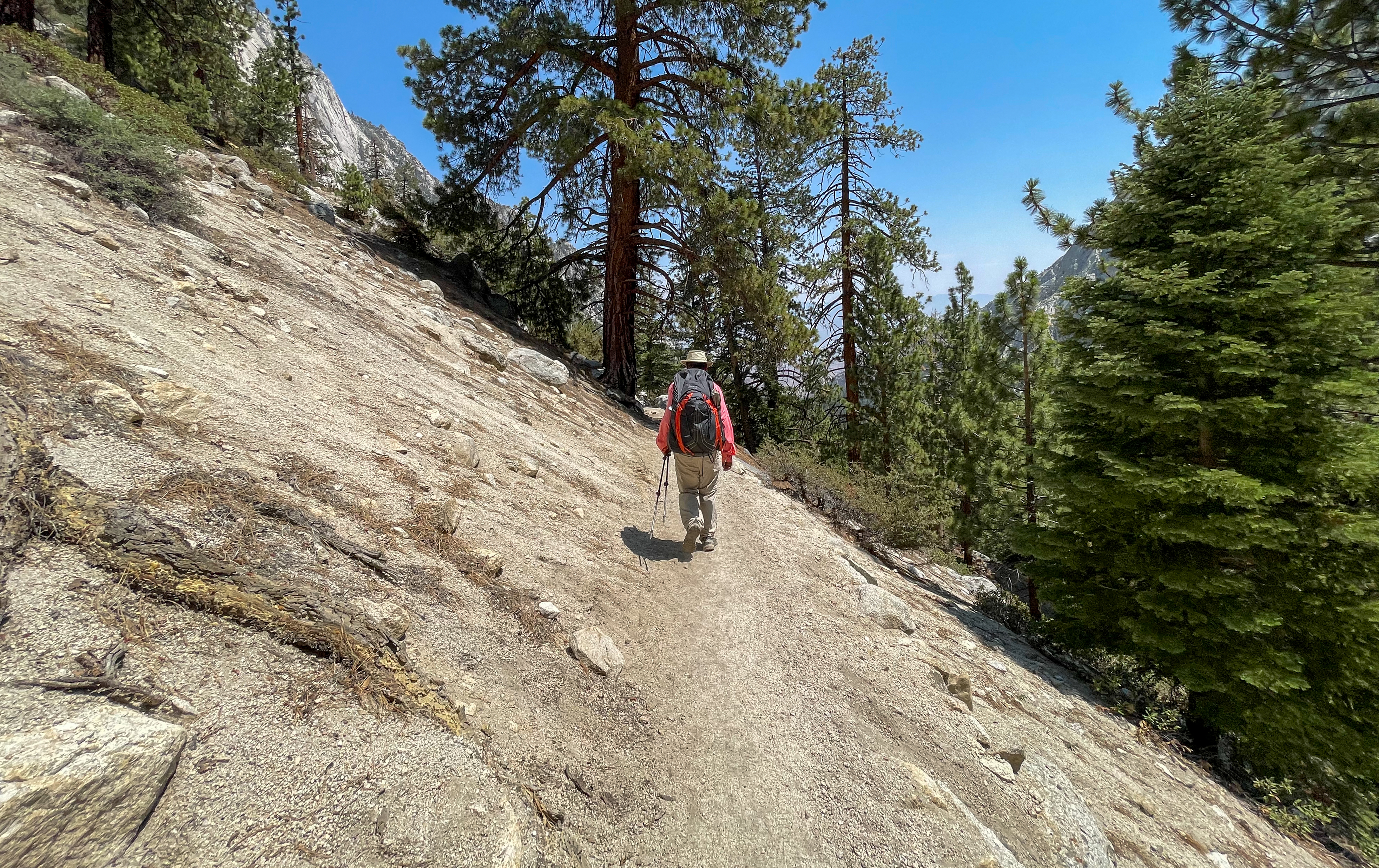
Starting from the South Lake Trailhead in Bishop, we hiked 10.9 miles over the Bishop Pass Trail to the John Muir Trail, followed the JMT south for 73.5 miles (from mile 136.9 to 210.4), and hiked out via the 7.5-mile Mount Whitney Trail to Whitney Portal in Lone Pine.
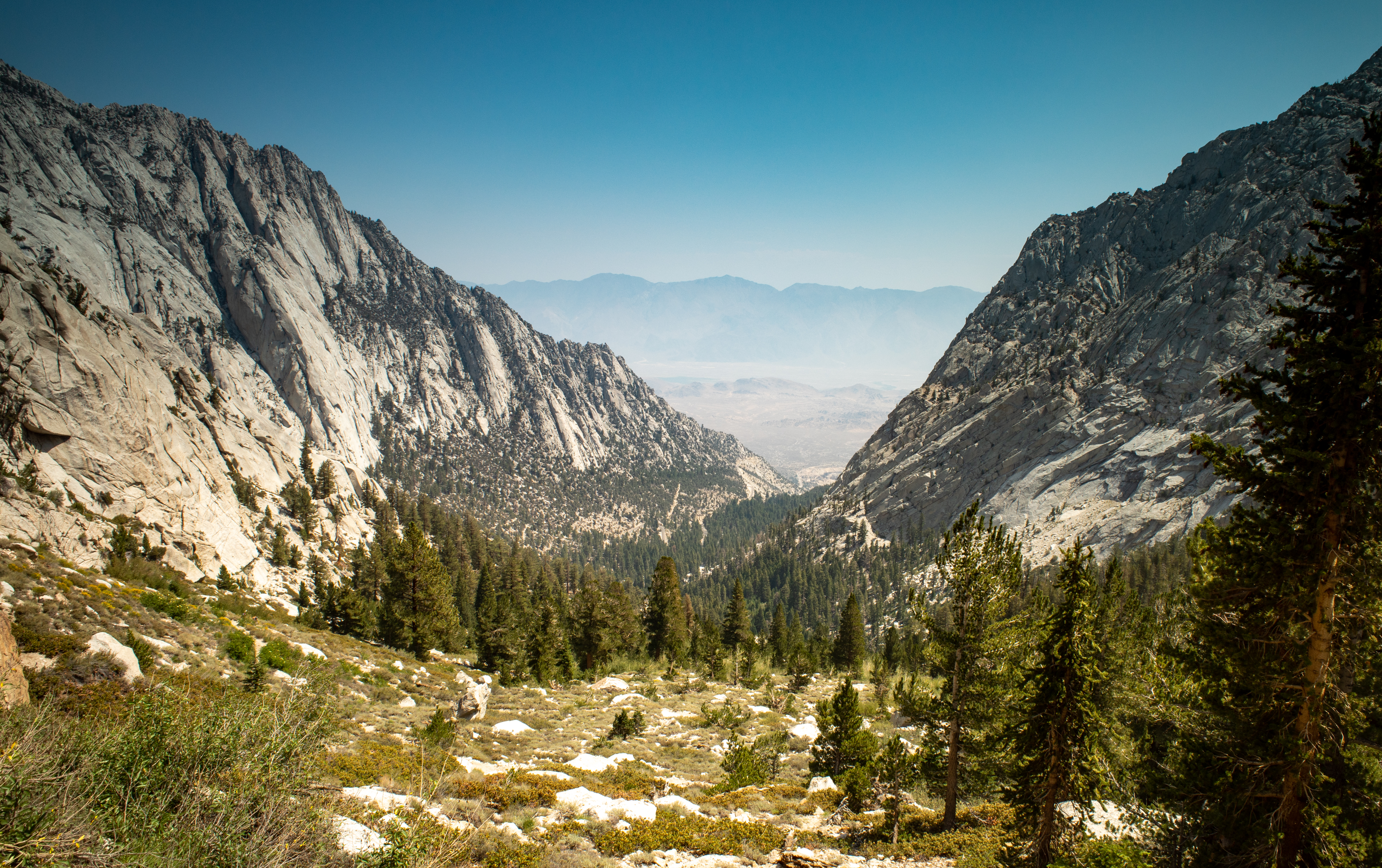
Our hike took us through Inyo National Forest, Kings Canyon National Park, and Sequoia National Park in the John Muir Wilderness and Sequoia and Kings Canyon Wilderness.
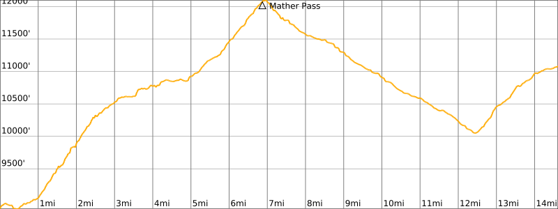
Length: 93 miles
Elevation Gain: +25,070′
Trip Video
Watch a video of our section hike from Bishop Pass to Mount Whitney.
Day -1
My dad and I flew in to San Francisco, where my brother lives, and we drove about 7 hours to Lone Pine. We stayed at the Quality Inn in Lone Pine for the night. The hotel has views of the Sierra mountains including Mount Whitney and the Alabama Hills in the foreground.

Day 0
We vaccumed the car in the morning to help keep bears away while we left it parked at Whitney Portal.
On our way to Whitney Portal, we stopped for a quick hike in the Alabama Hills and visited the Mobius Arch, which from the right spot perfectly frames Mount Whitney in the background. While we were there, smoke had drifted in from the wildfires to the north, so the mountains were hazy.

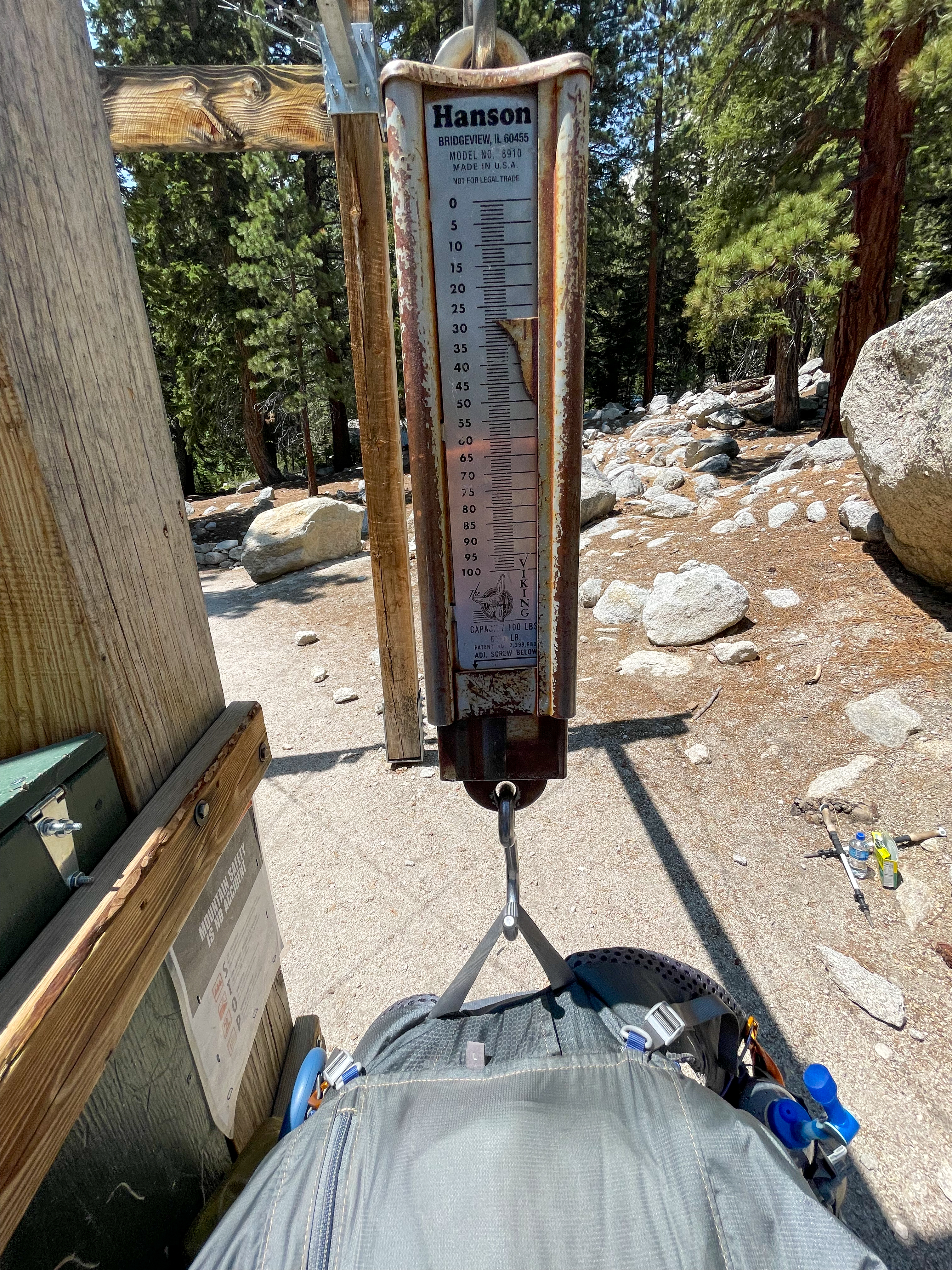
We left our car at the parking lot at Whitney Portal and weighed our full packs on the scale at the start of the Mount Whitney Trail. Mine came in around 28.5 pounds.
We hired a shuttle driver to take us to Bishop, where we stayed in a hotel for the night.
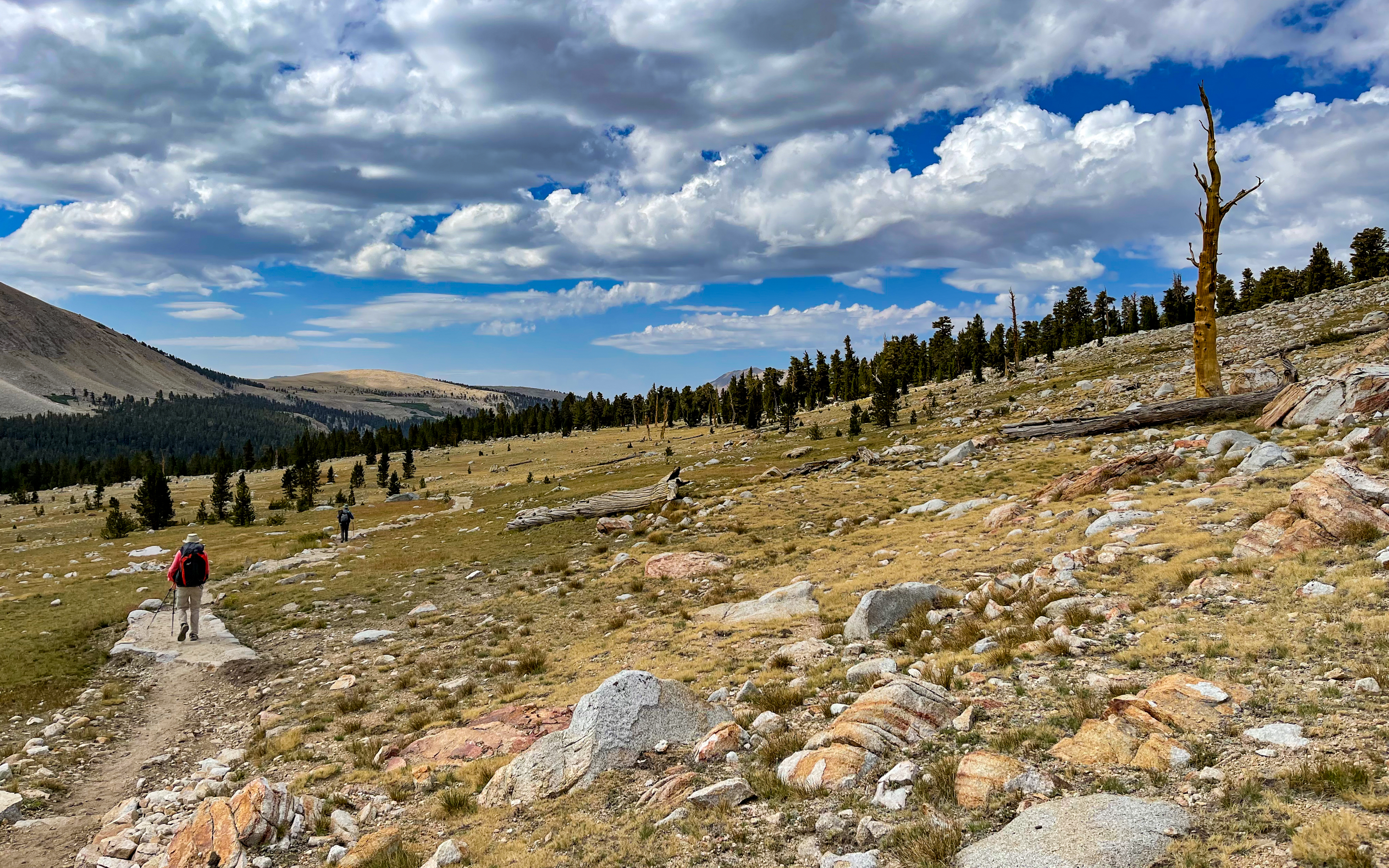
Day 1 – Bishop Pass to Deer Meadow
Start: South Lake Trailhead (Bishop Pass)
End: Deer Meadow
Distance: 18.6 miles
Elevation gain: +4,145′
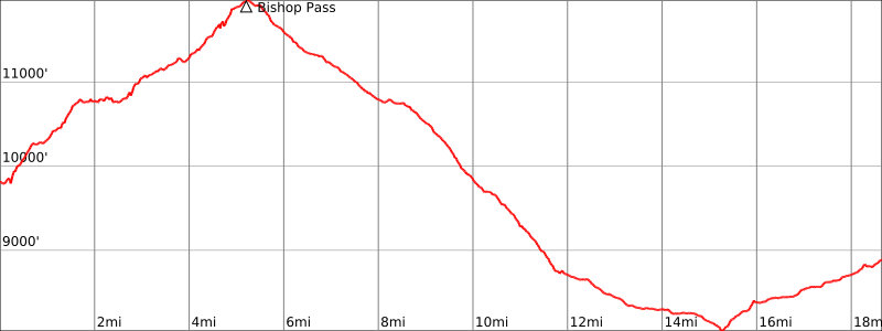
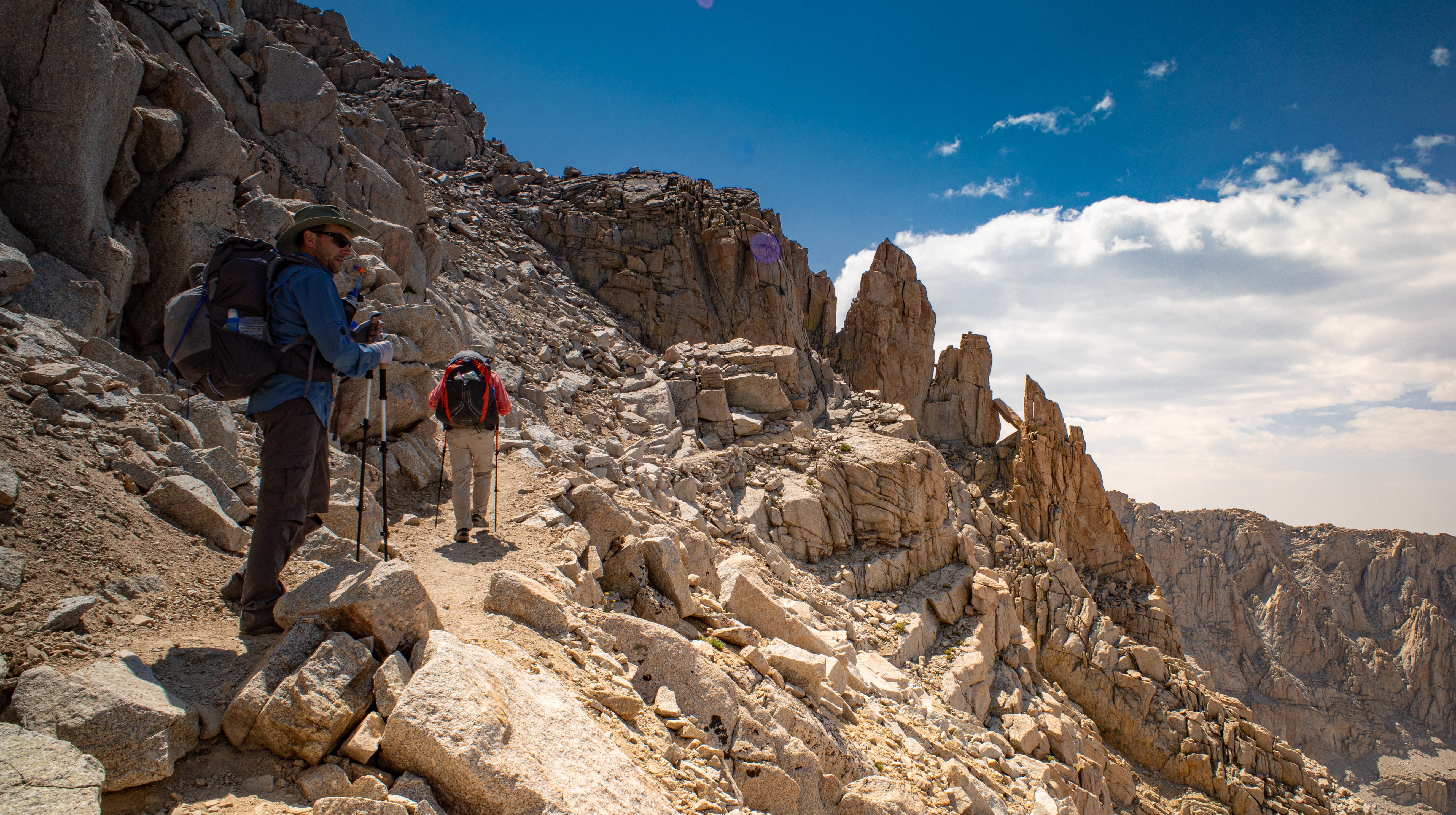
At 3:45am, our shuttle driver picked us up from our hotel and dropped us off at the South Lake trailhead around 4:30am, when we set off in the dark along the Bishop Pass Trail towards the John Muir Trail.
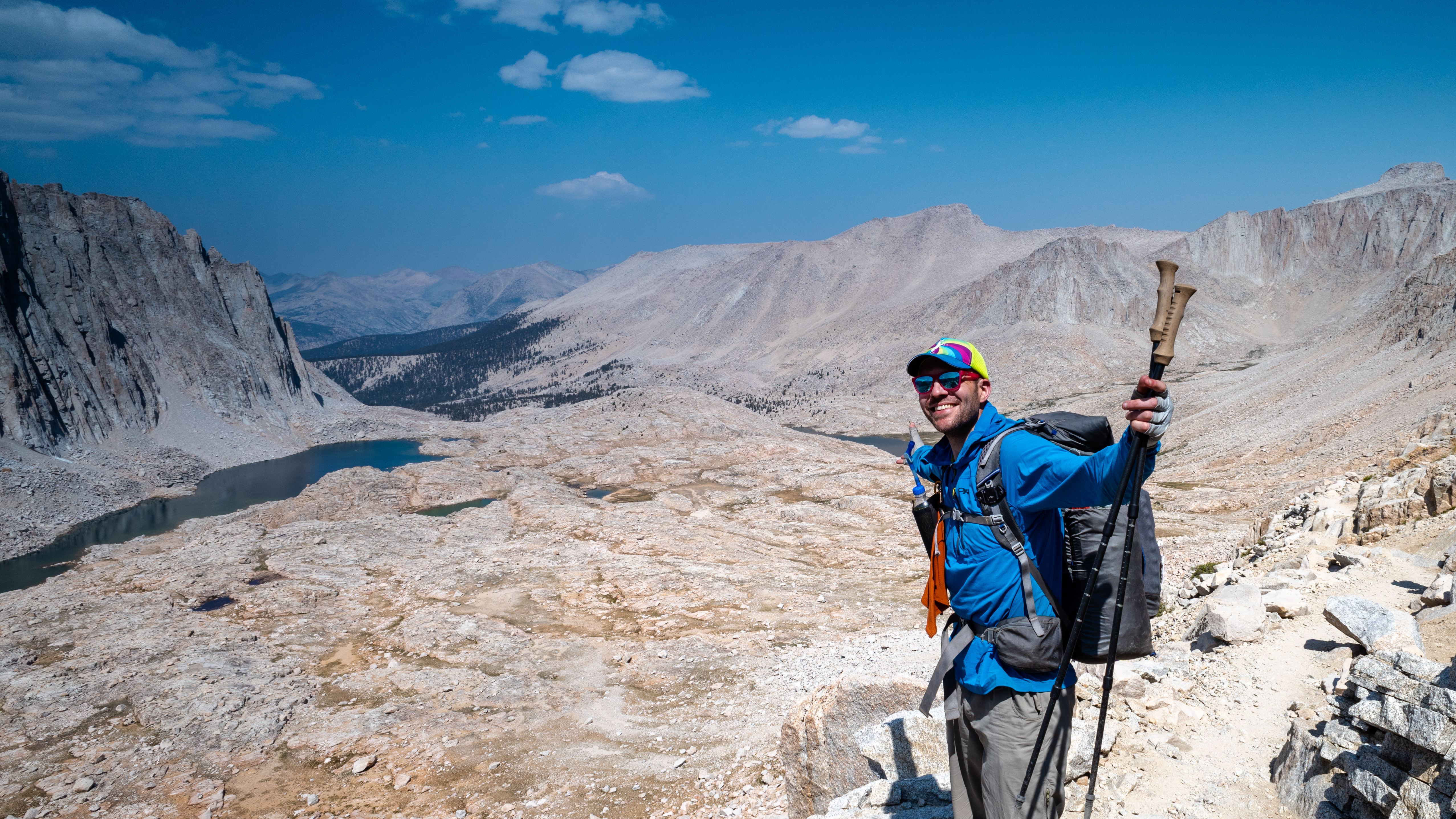
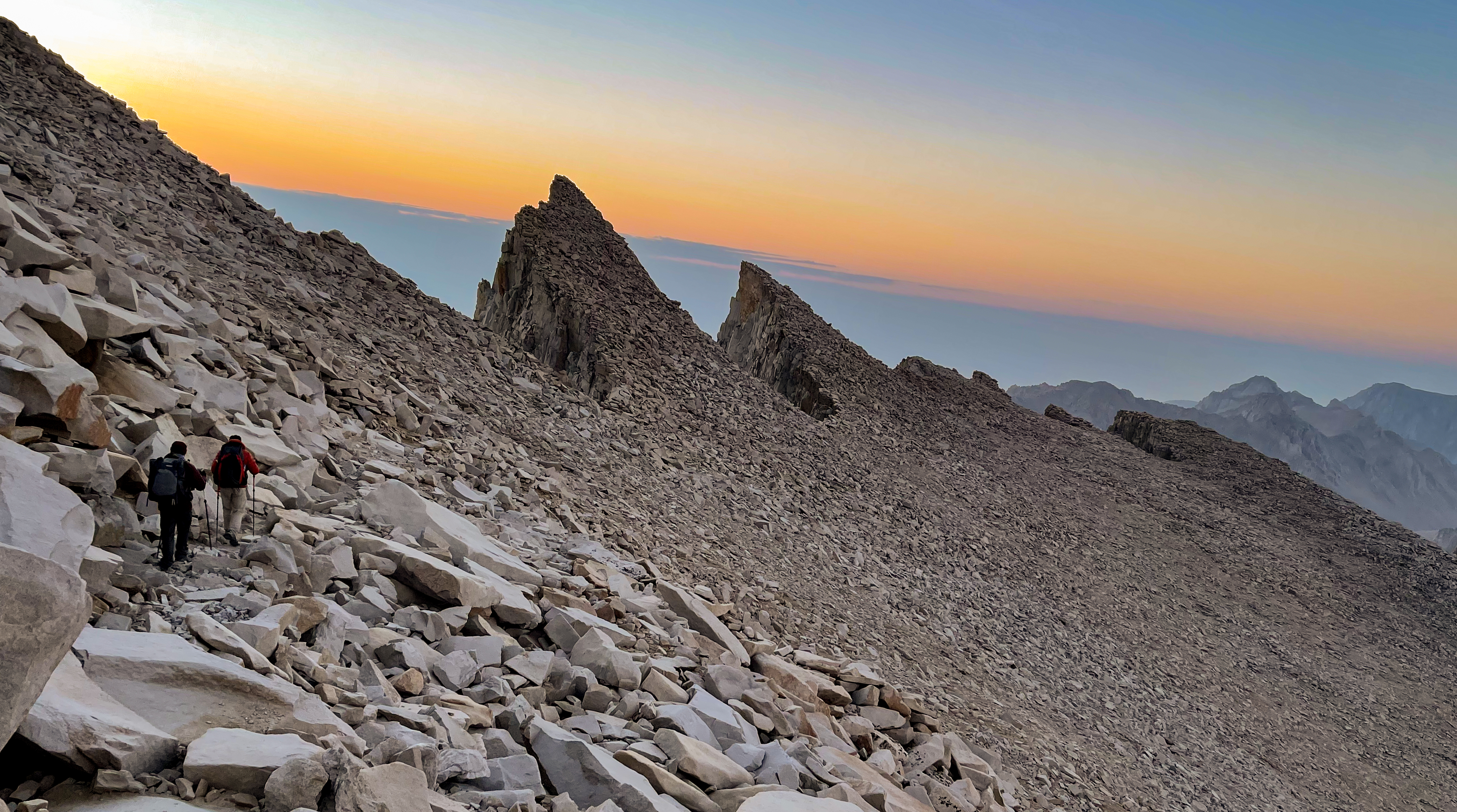
We were treated to amazing alpenglow on our way to Bishop Pass.
-
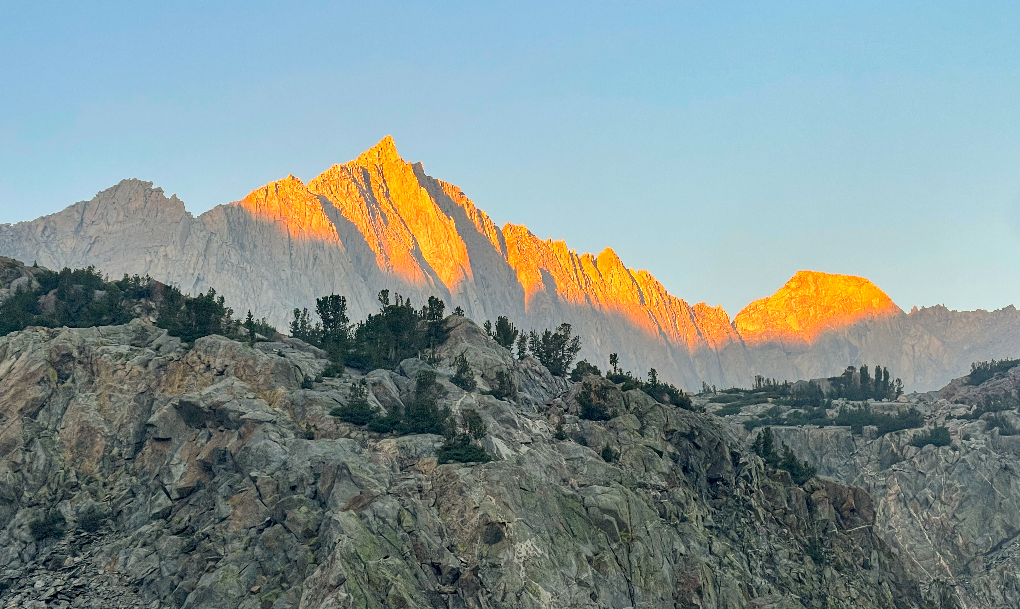
Alpenglow along the Bishop Pass Trail -

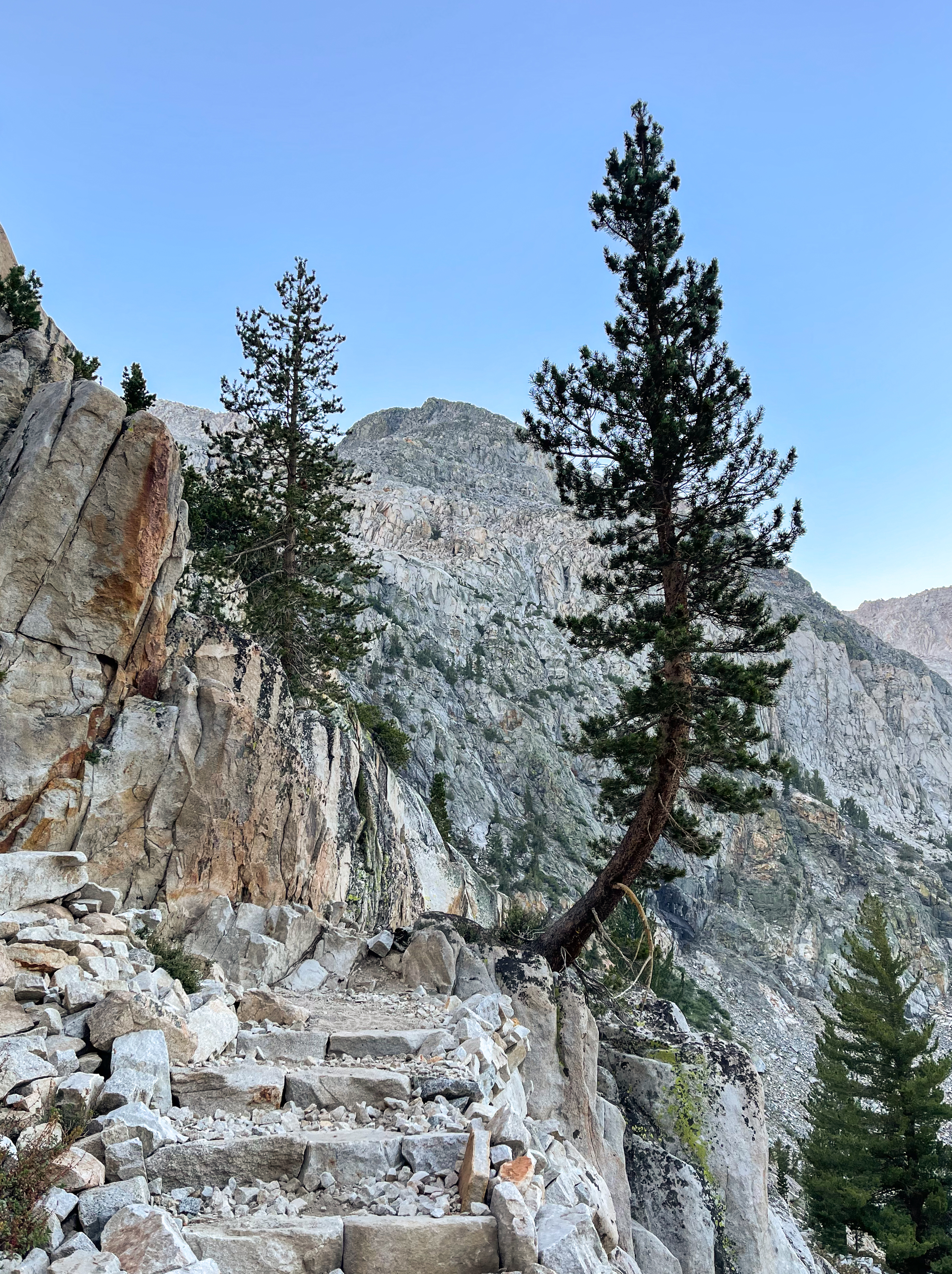
Bishop Pass Trail
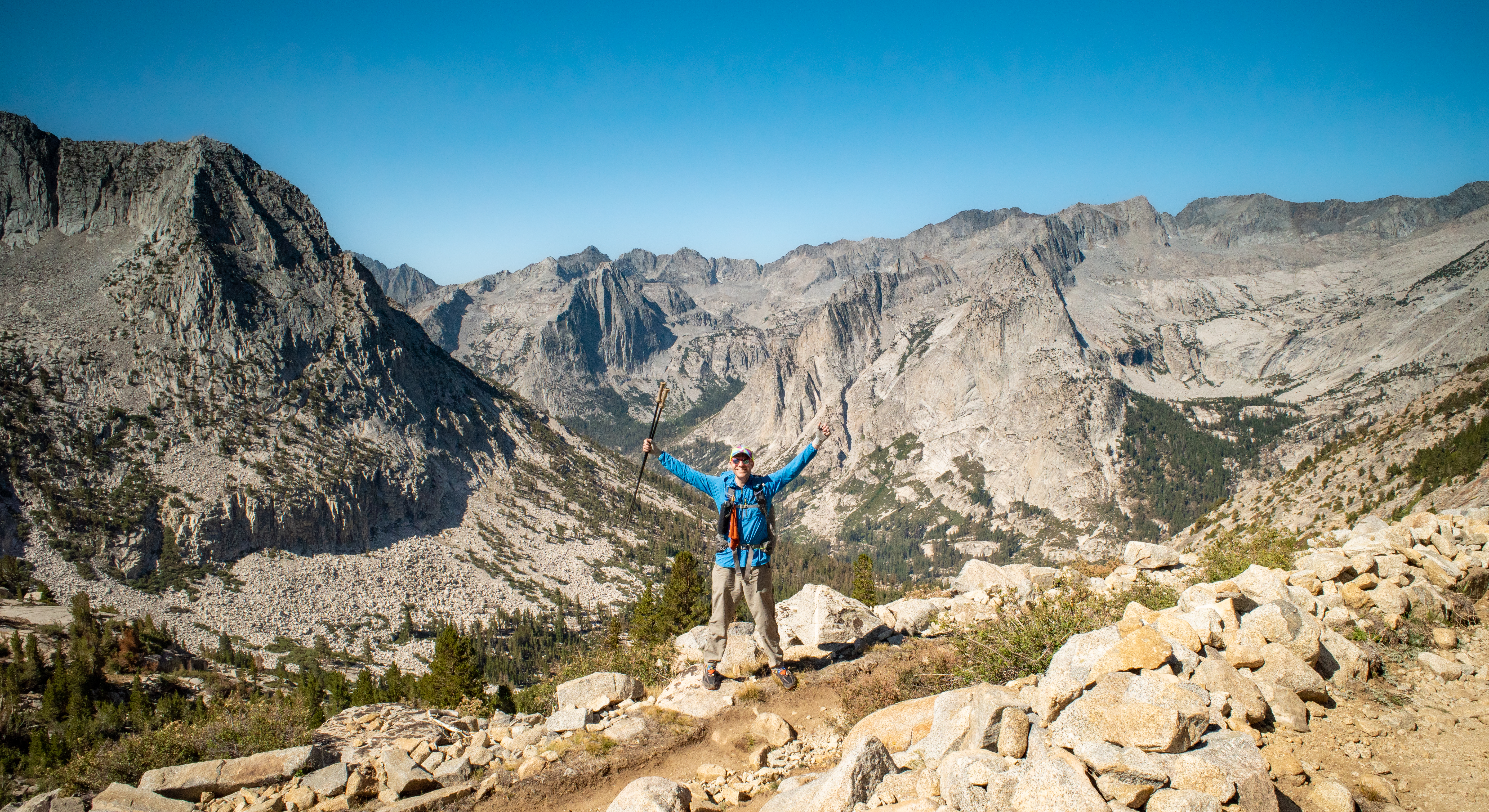
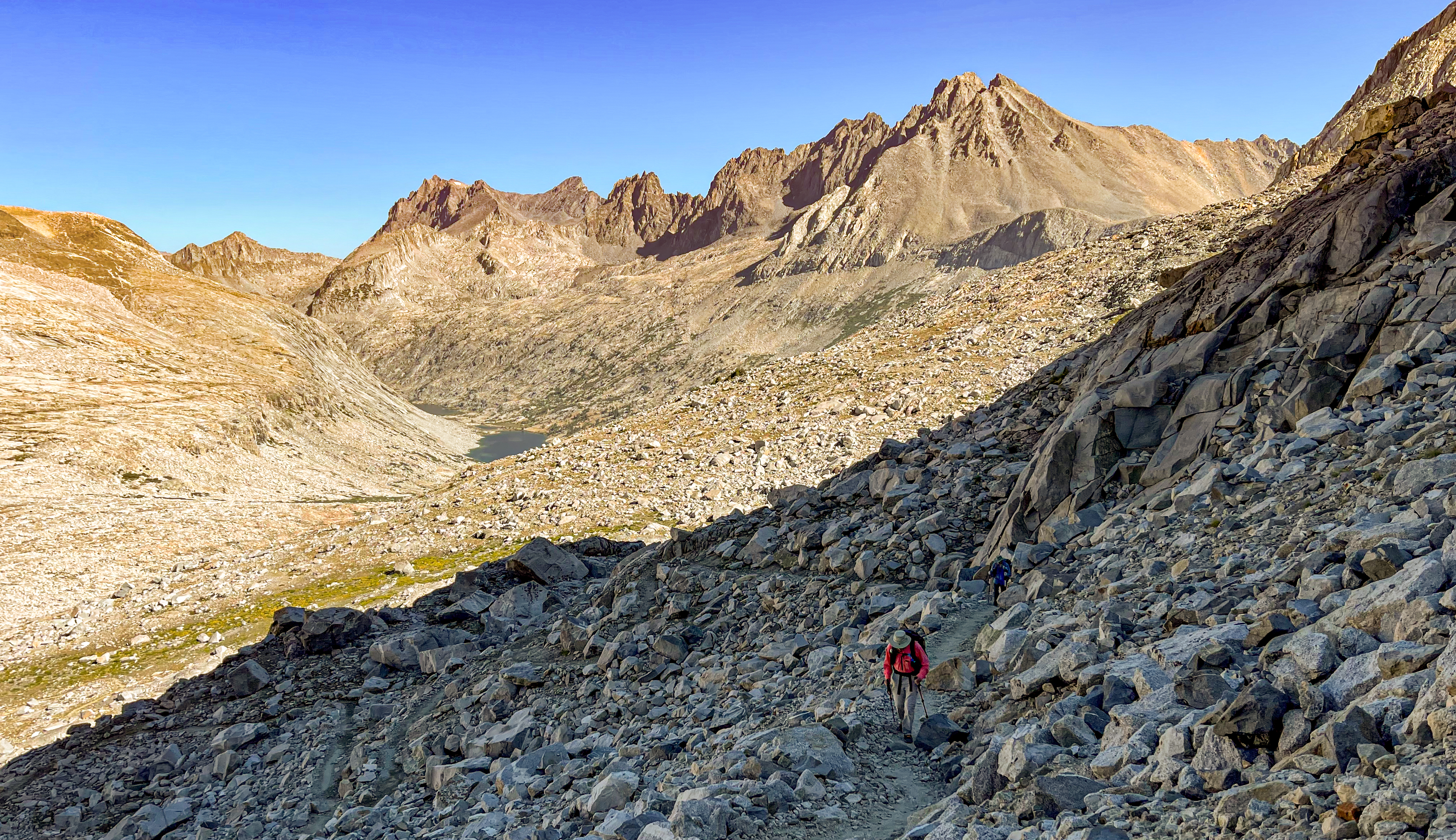
We reached the 11,972 foot Bishop Pass just after the sun rose, leaving Inyo National Forest and entering Kings Canyon National Park.
-

View to the north as you approach Bishop Pass -
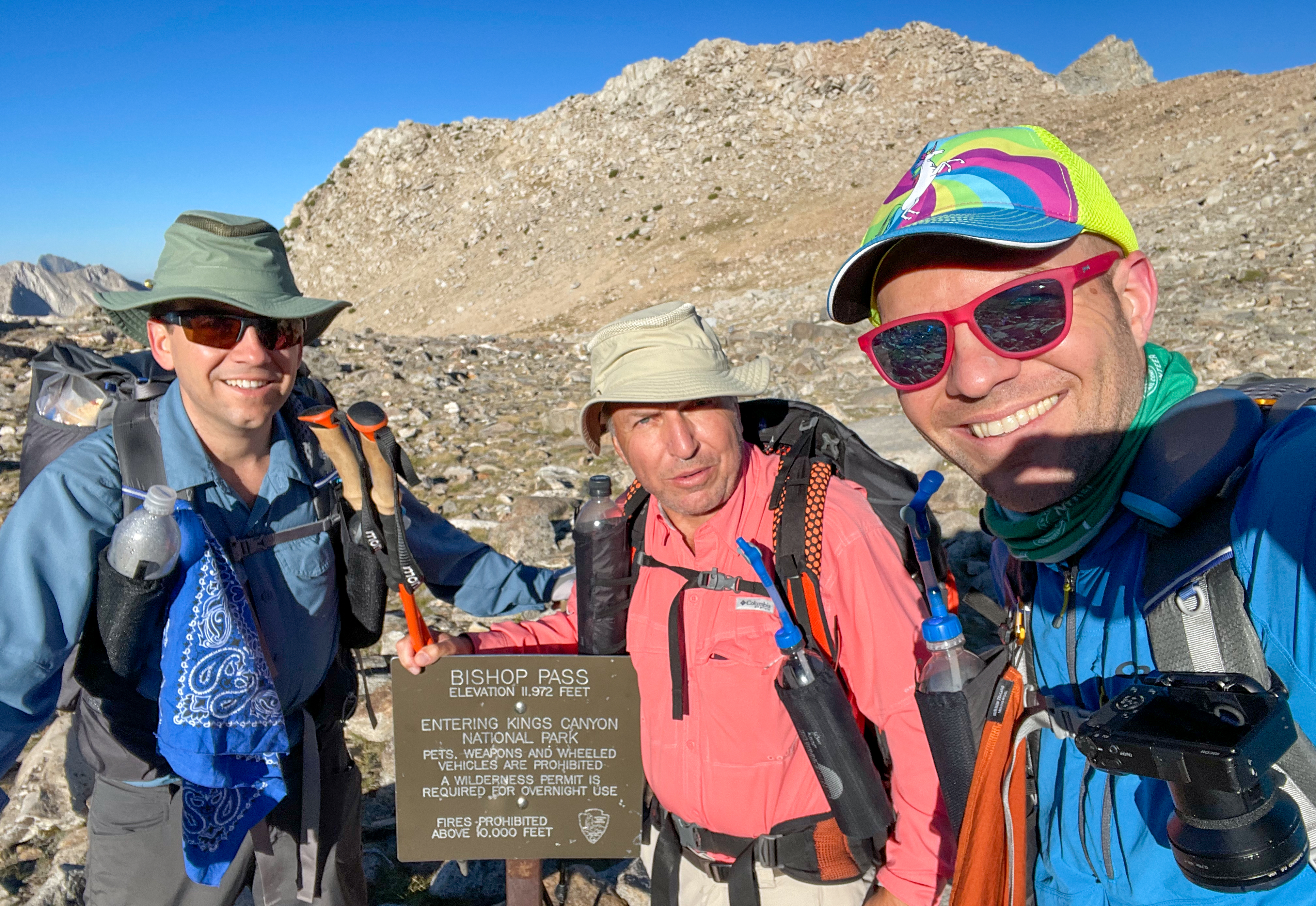
Celebrating on Bishop Pass
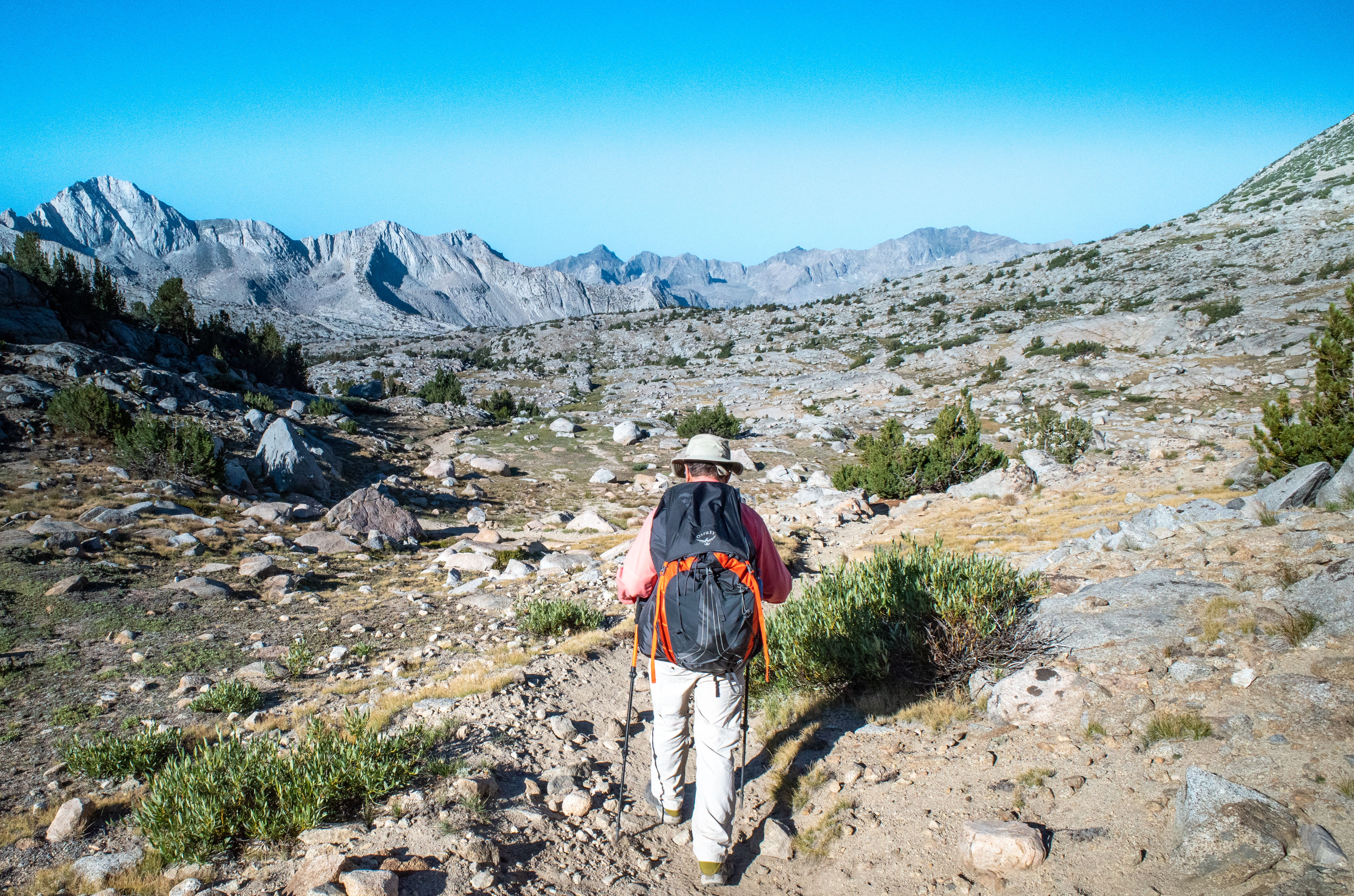
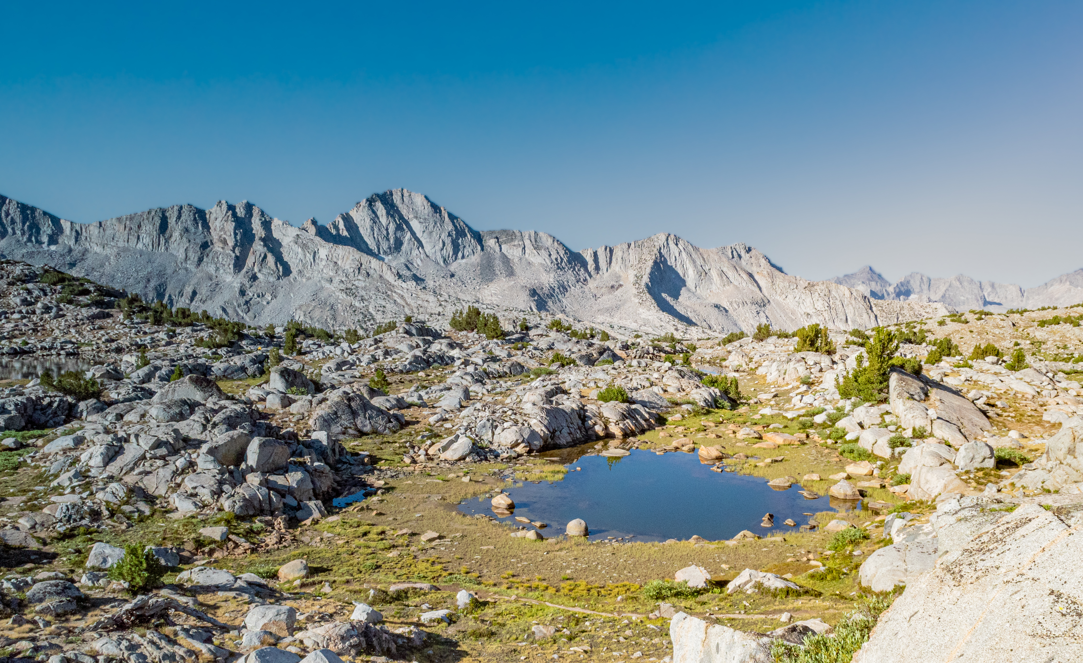
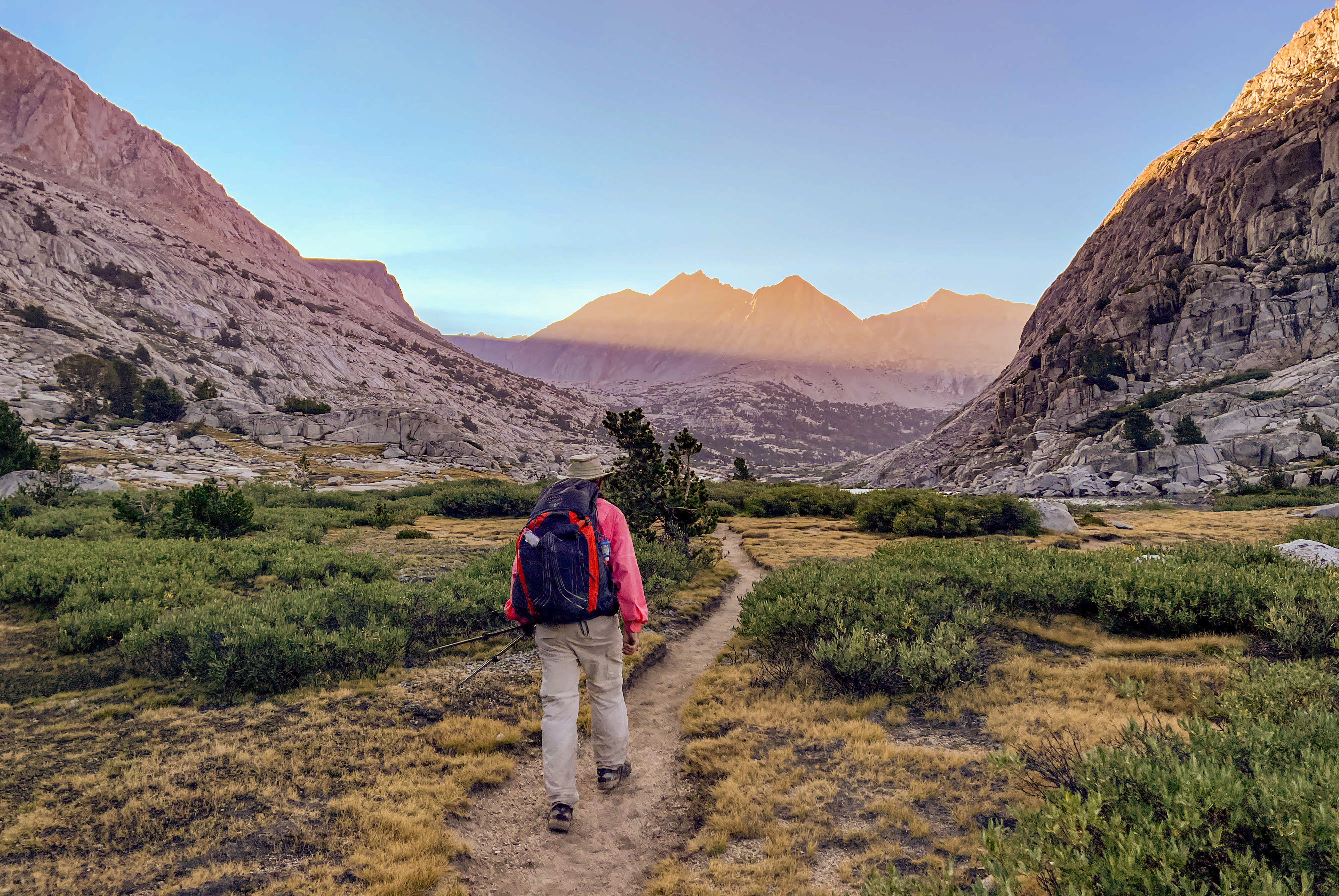
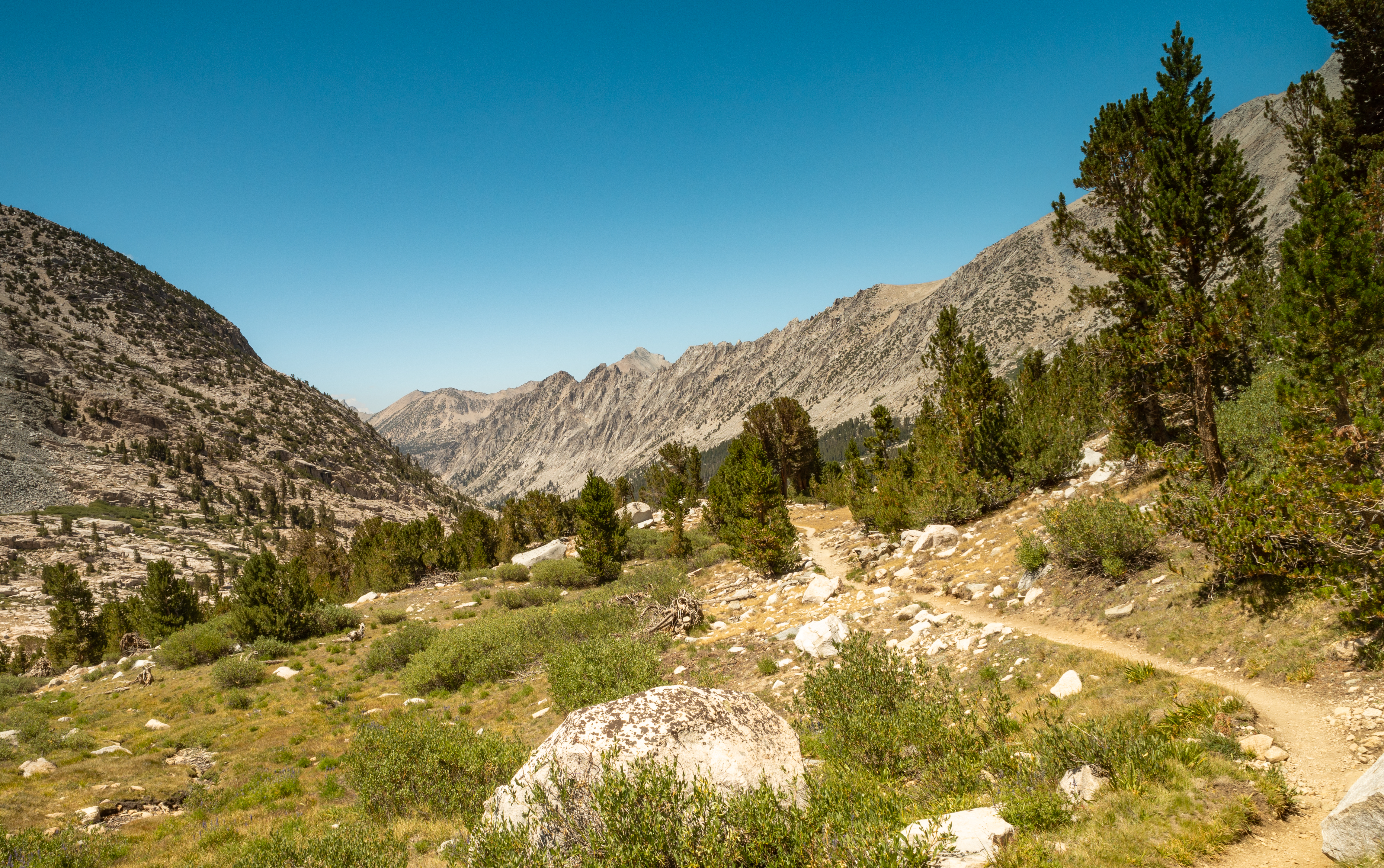
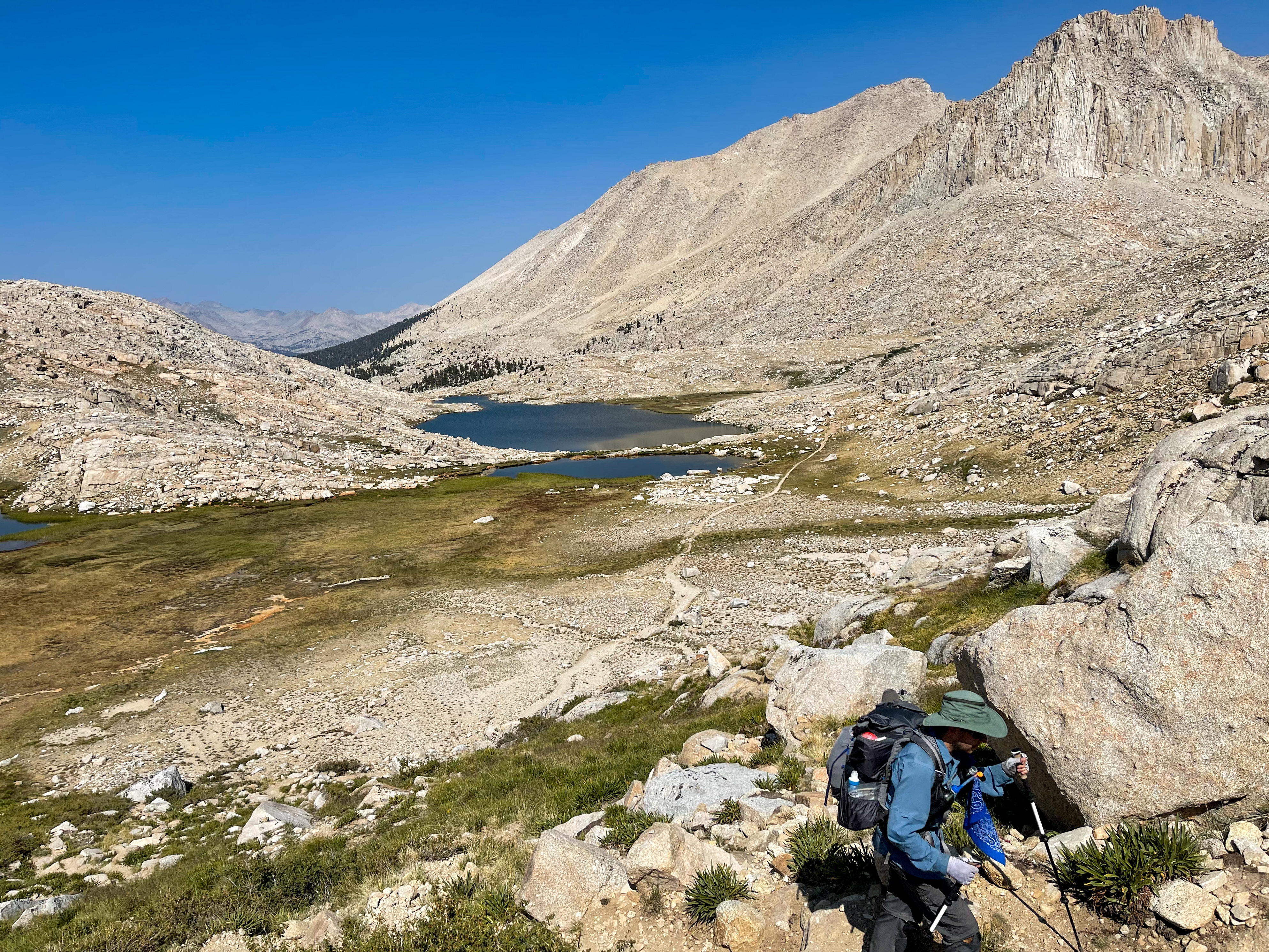
Next we hiked through the lovely Dusy Basin.
-
Dusy Basin -
Dusy Basin
-
Dusy Basin -
Dusy Basin -
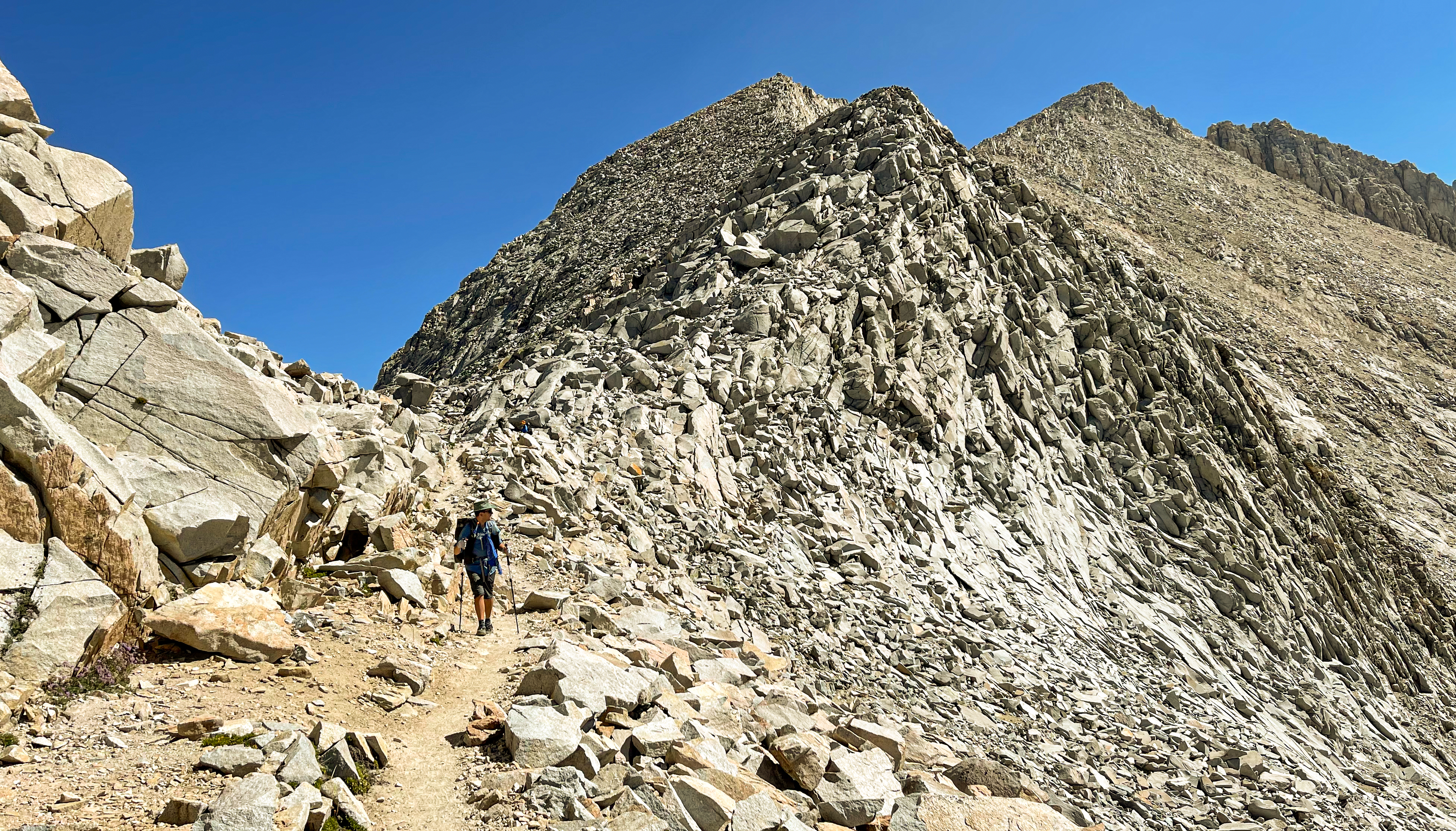
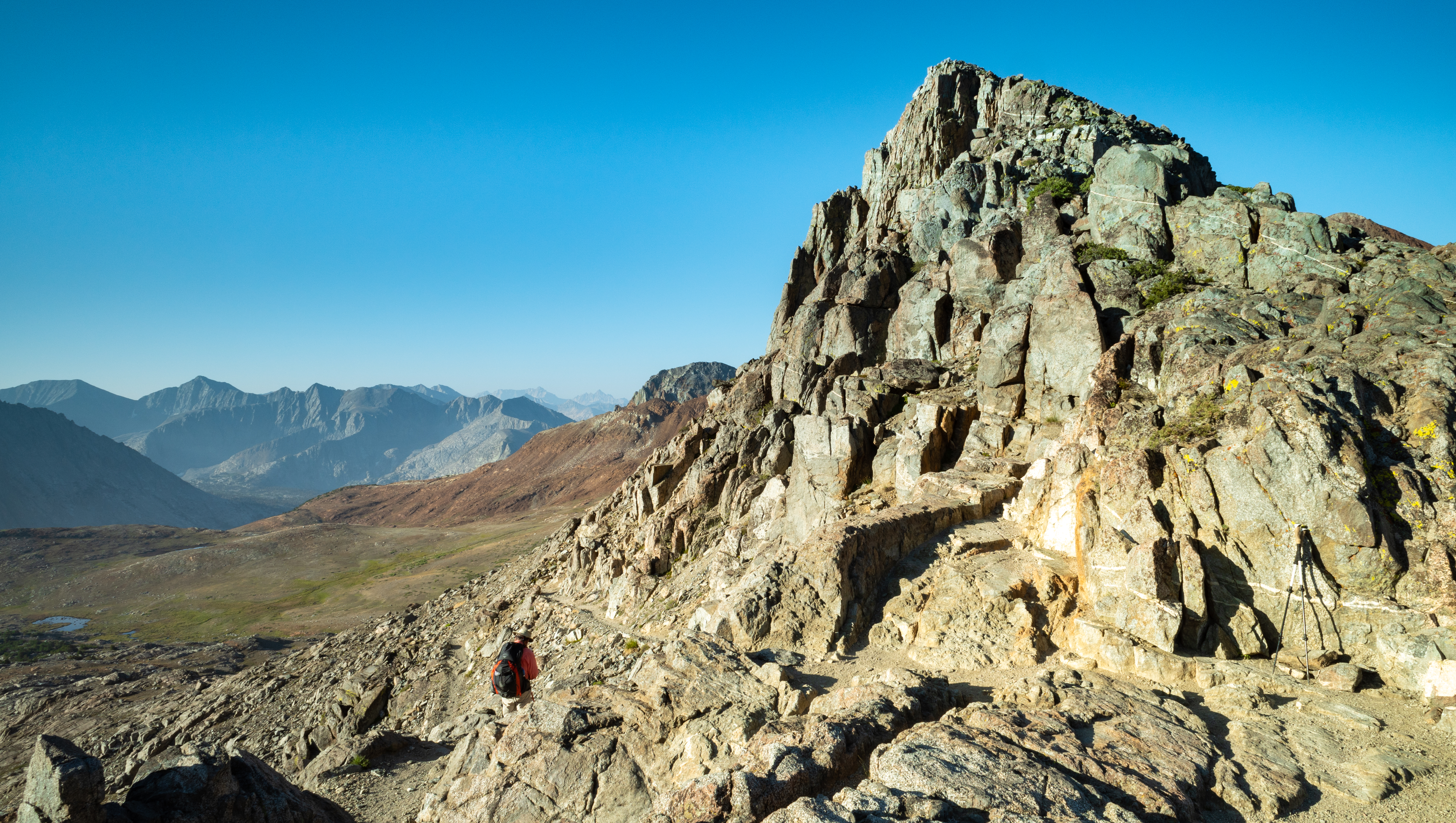
Near the top of the Dusy Switchbacks
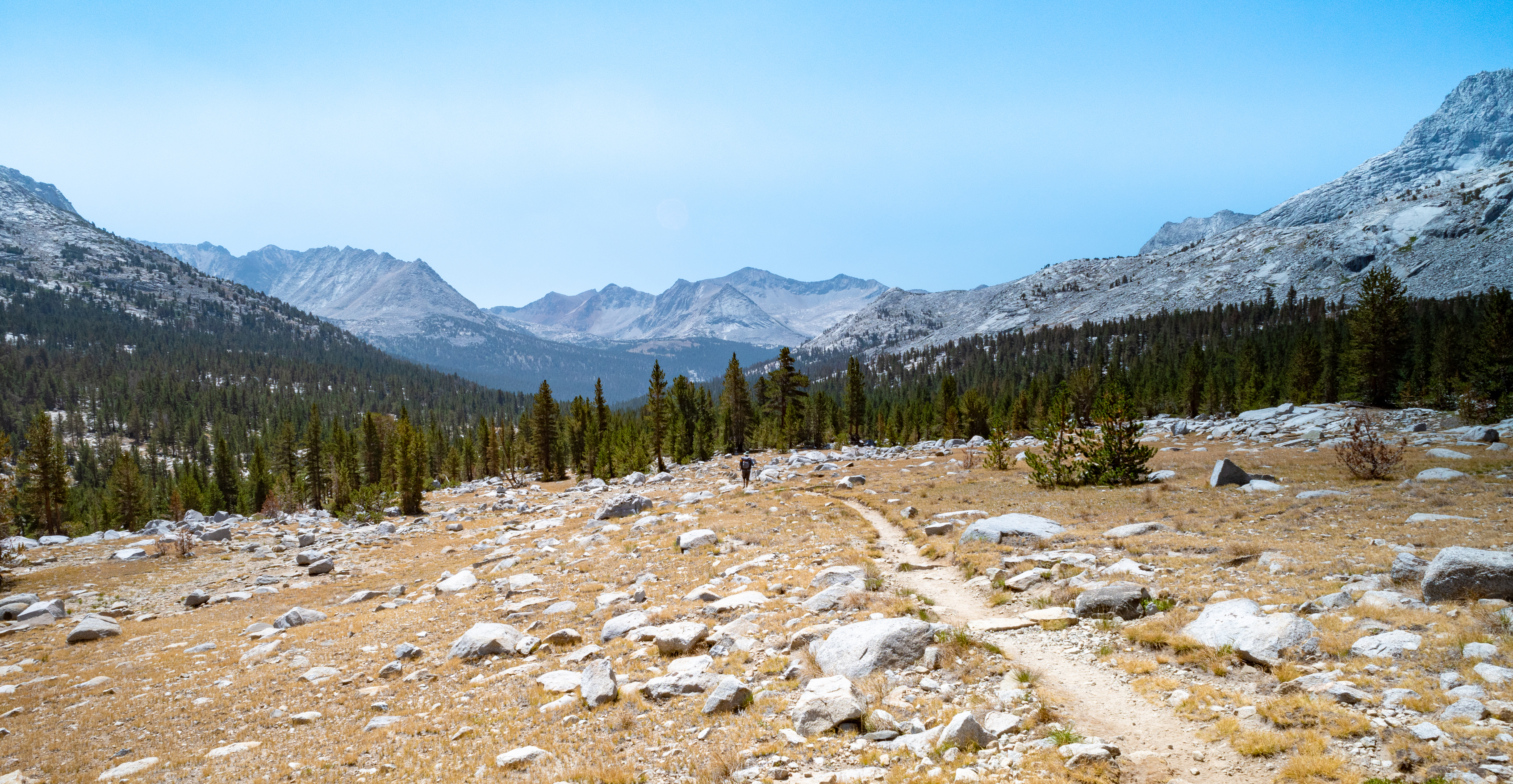
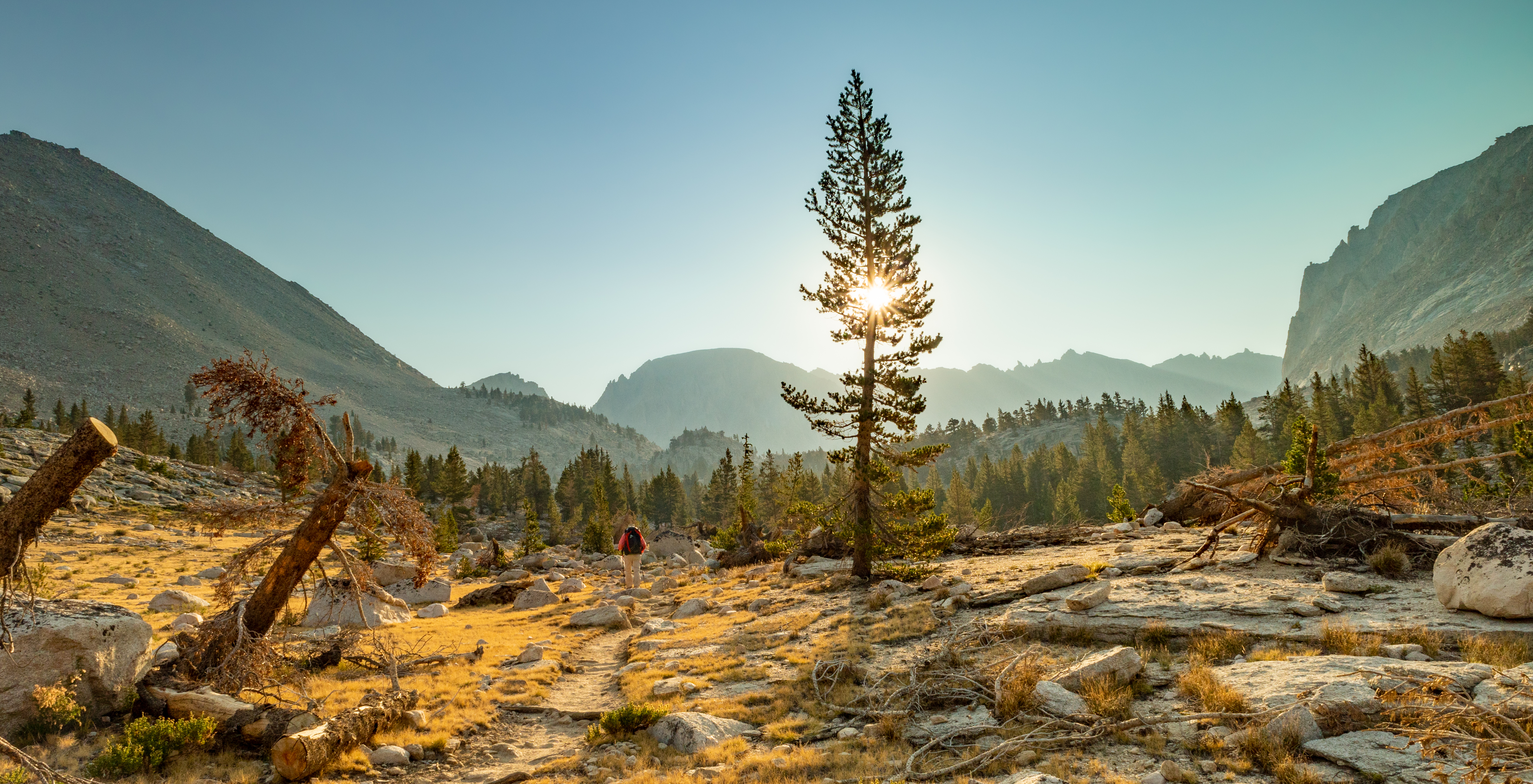
We descended the Dusy Switchbacks to LeConte Canyon and followed the Middle Fork Kings River. It was really hot and we had or were close to heat exhaustion at this point.
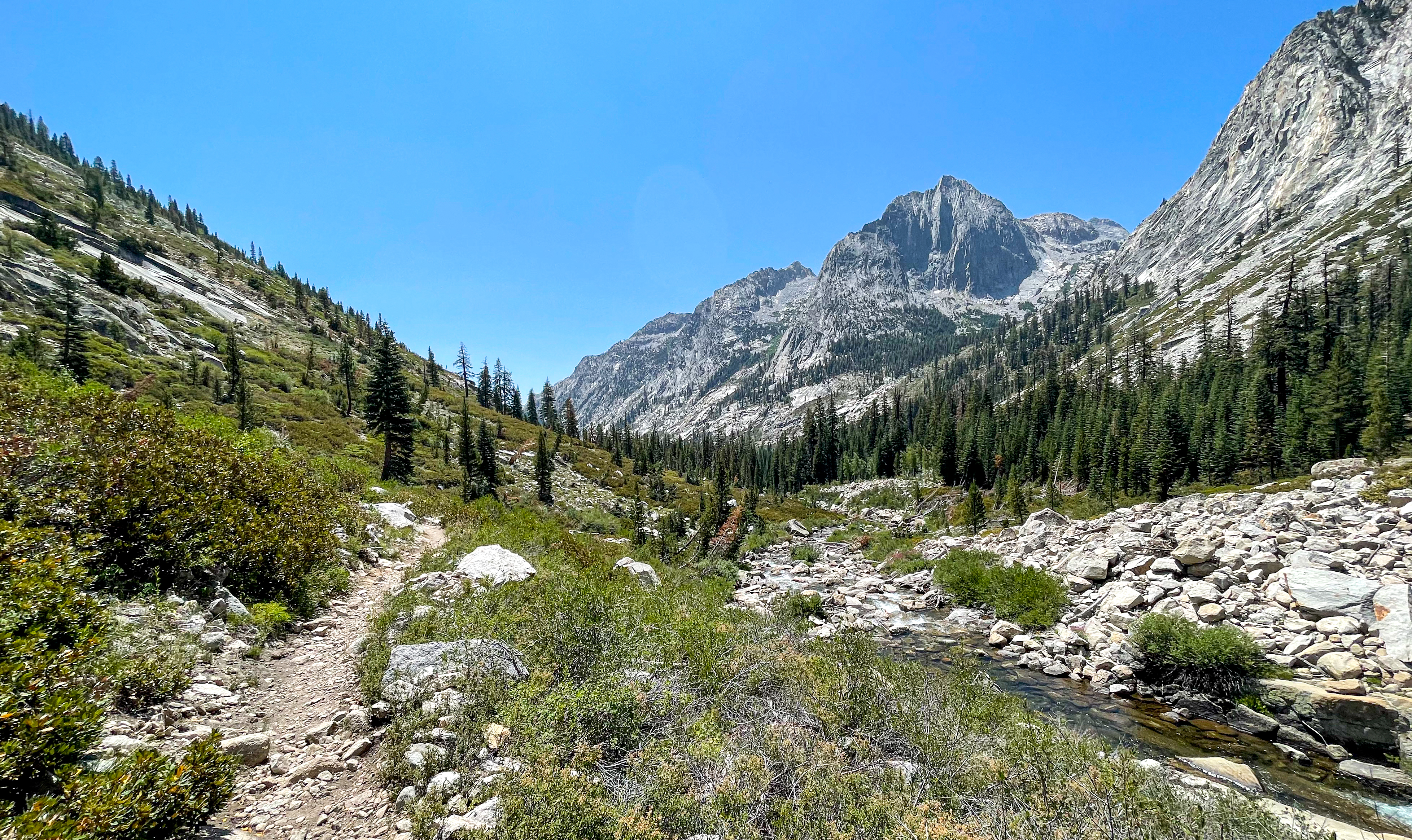
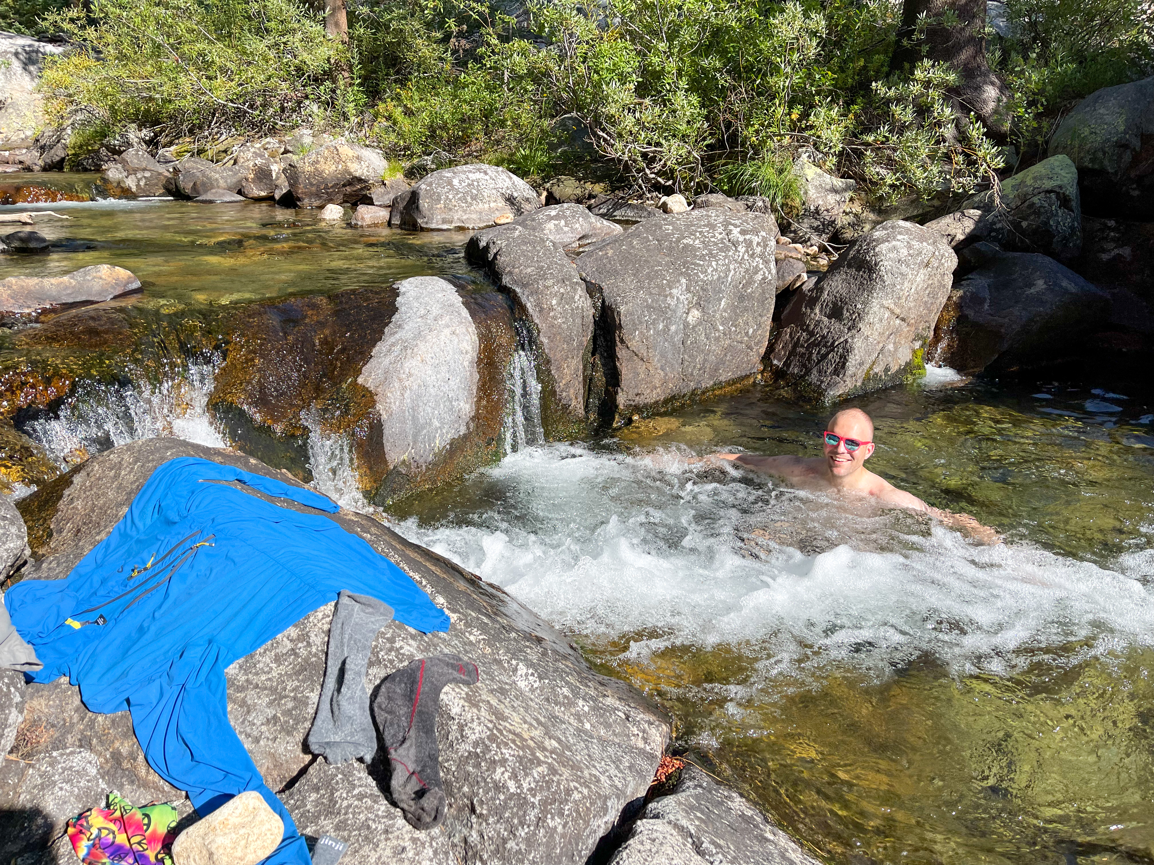
We eventually reached Deer Meadow and found a nice shaded campsite next to Palisade Creek, where I washed my clothes and took a refreshing dip.
Day 1 Journal
We knew we had a big day so we got an early start. Robert Brence [shuttle driver] picked us up from the Best Western in Bishop at 3:45am. We were at the South Lake trailhead by 4:30am. A beautiful start. We made good time and reached Bishop Pass by 7:30am.
Next was the lovely Dusy Basin, followed by the Dusy Switchbacks. The switchbacks felt never-ending. When we finally reached the junction with the JMT at LeConte Canyon, we were pretty tired. This is also where we realized we were hungry and might not have packed enough food.
We descended to the Middle Fork Kings River and by this point it was hot and we were hurting. We continued on but weren’t sure if we would make it to our target camp site. After dipping my head in a stream, I felt much better and was able to run ahead to find a camp site. We found a nice site in Deer Meadow right next to a stream. I washed my clothes and took a dip.
The plan is to wake up at 4am tomorrow for a big day up the Golden Staircase and Mather Pass.
journal excerpt 8-7-21
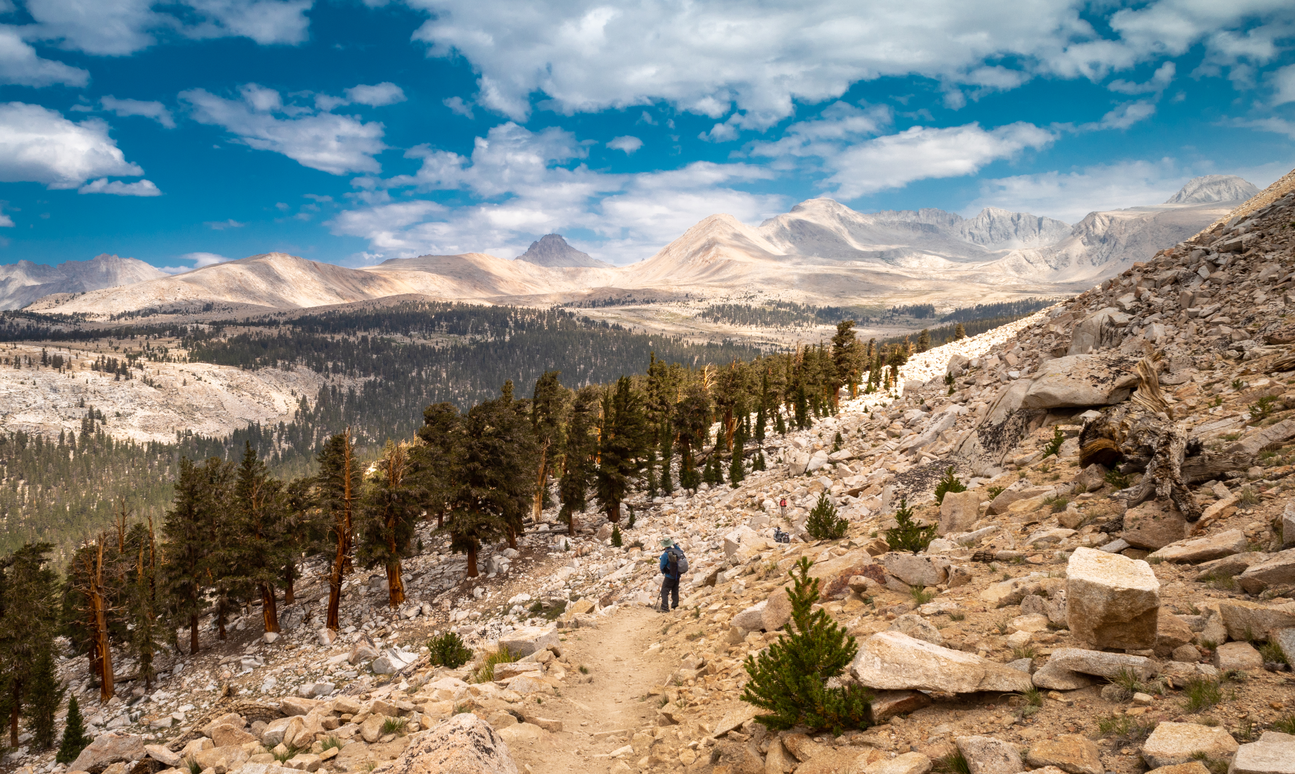
Day 2 – Deer Meadow to Tarn near Lake Marjorie
Start: Dear Meadow
End: Unnamed tarn just north of Lake Marjorie
Distance: 14.6 miles
Elevation gain: +4,808′
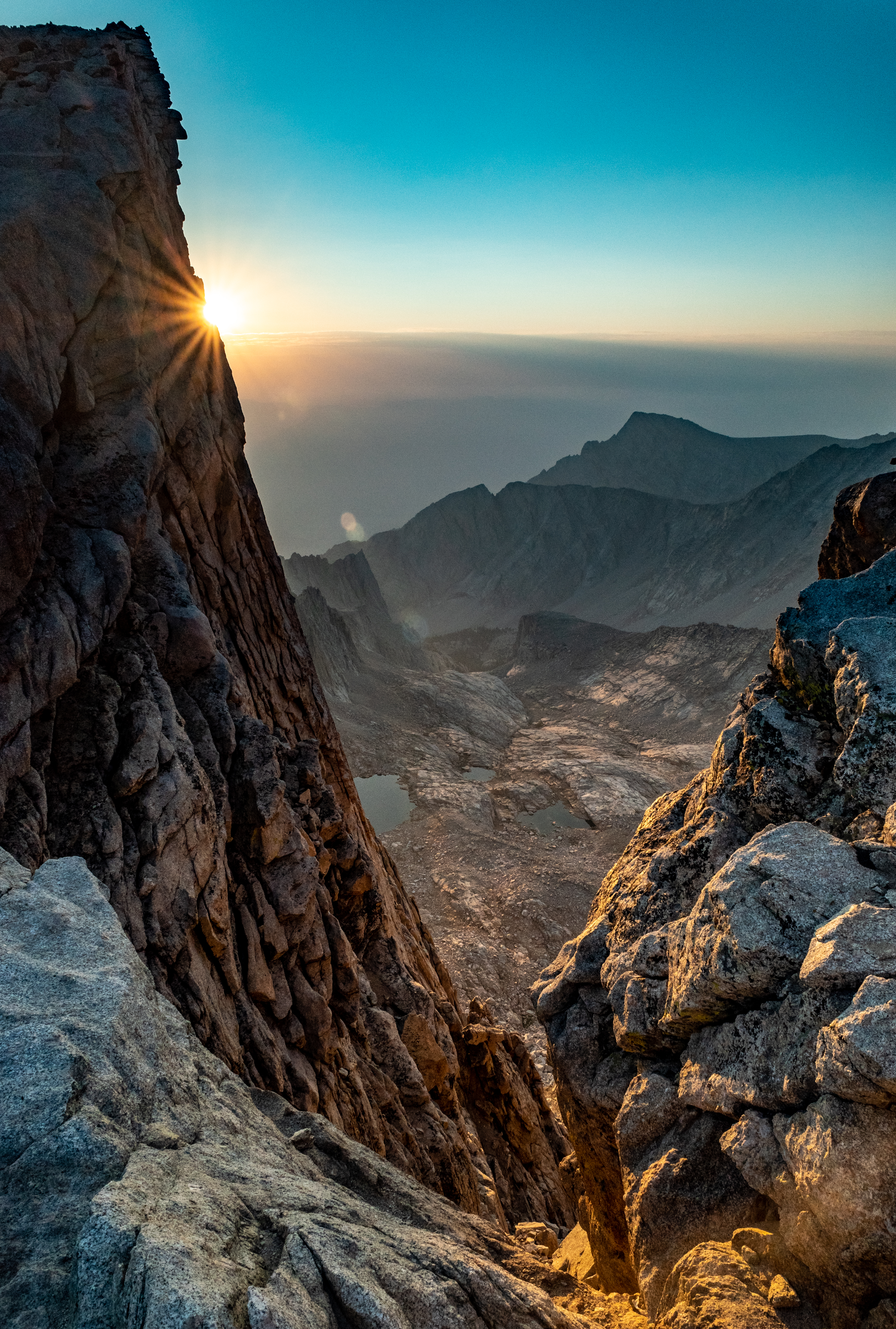
The day began at 5am with a climb up the Golden Staircase.
-
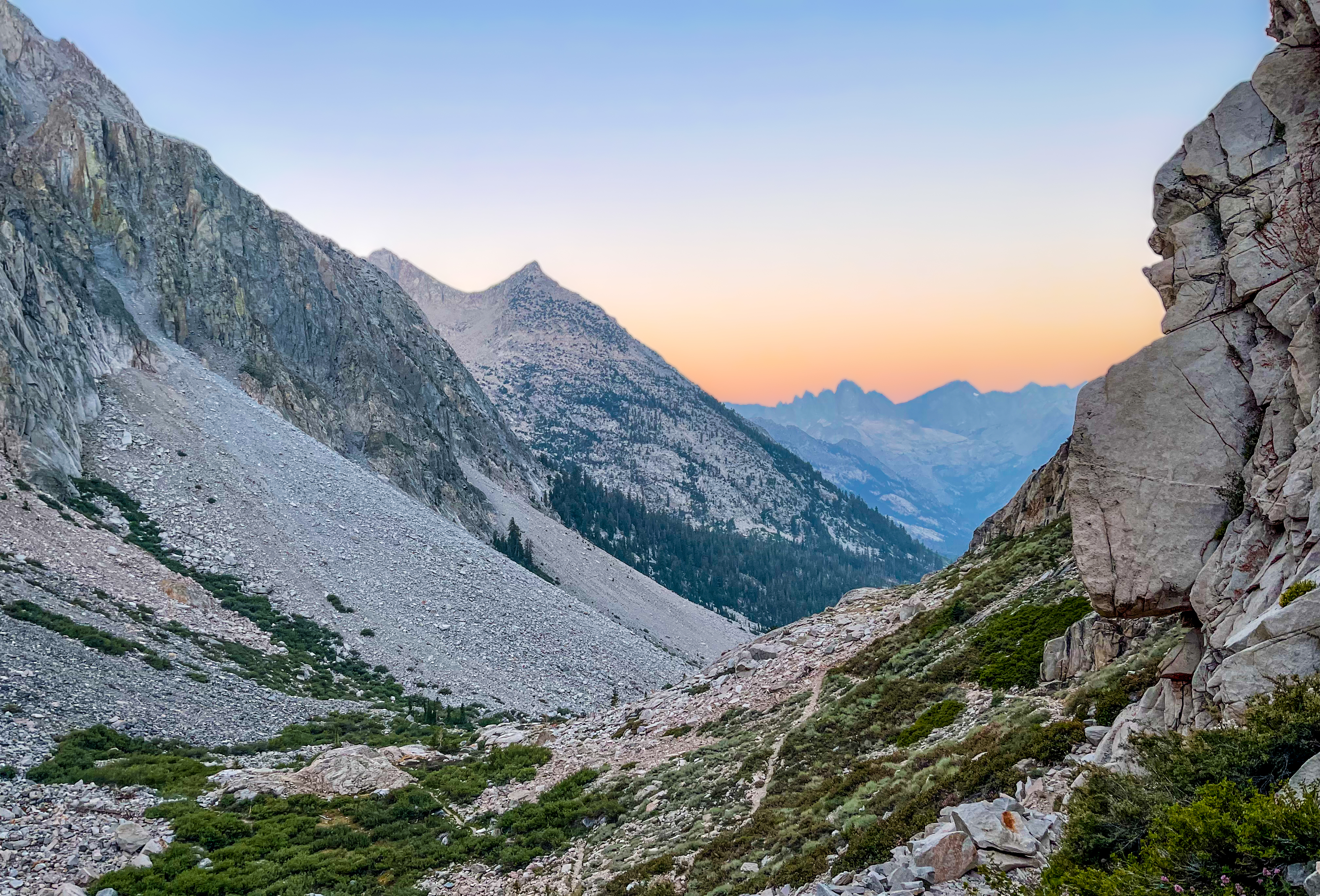
Sunrise view from the Golden Staircase -
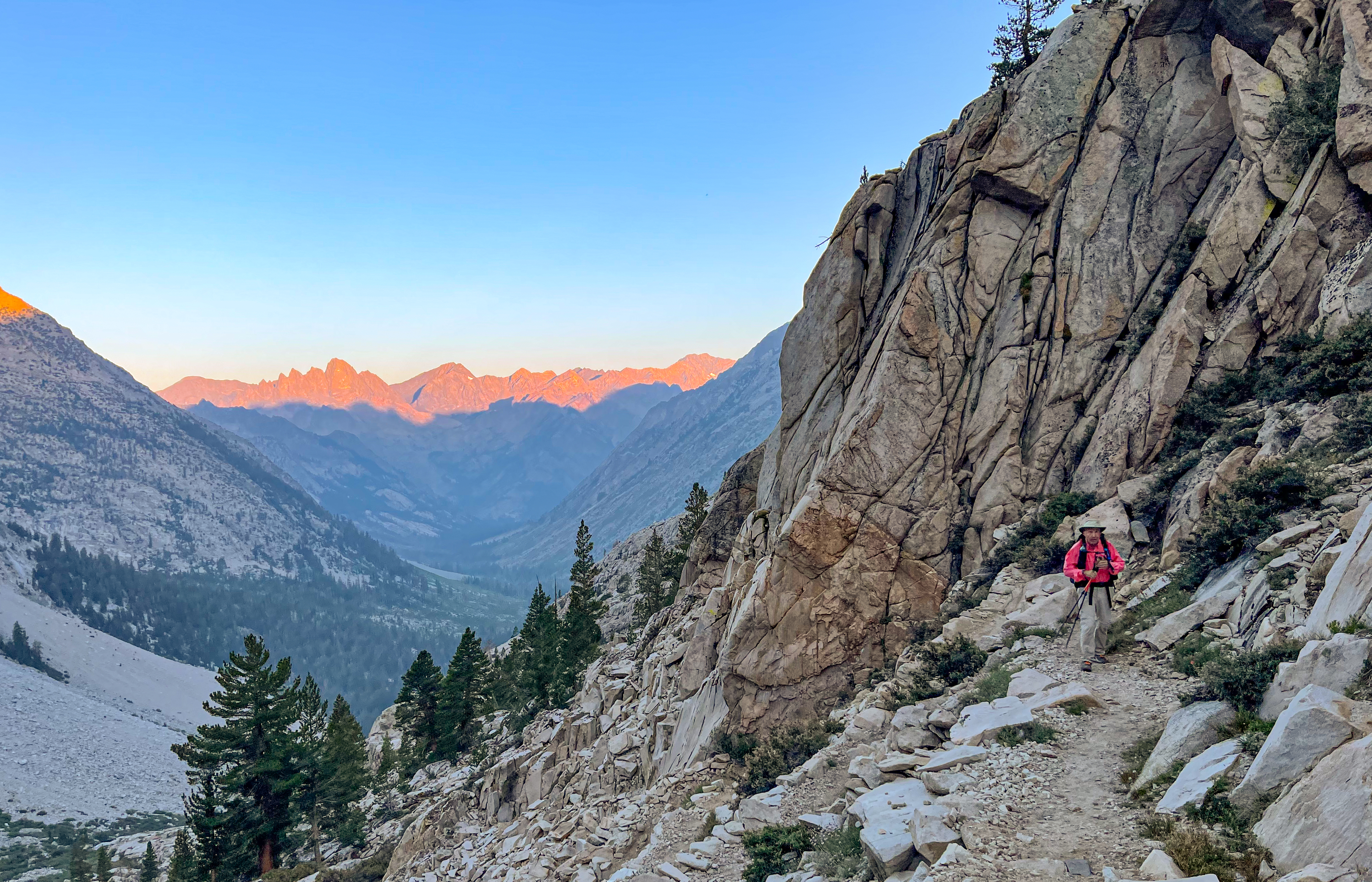
Alpenglow as we climb the Golden Staircase -
On the Golden Staircase
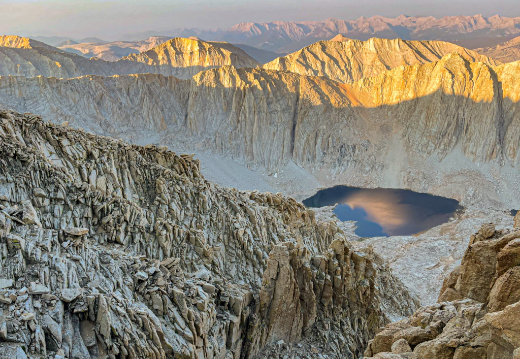
We then passed through Palisade Basin and Upper and Lower Palisade Lakes as the sun’s first rays began to filter through the mountains, creating a nice light show.
-
Palisade Basin -
Palisade Basin -
Palisade Lakes
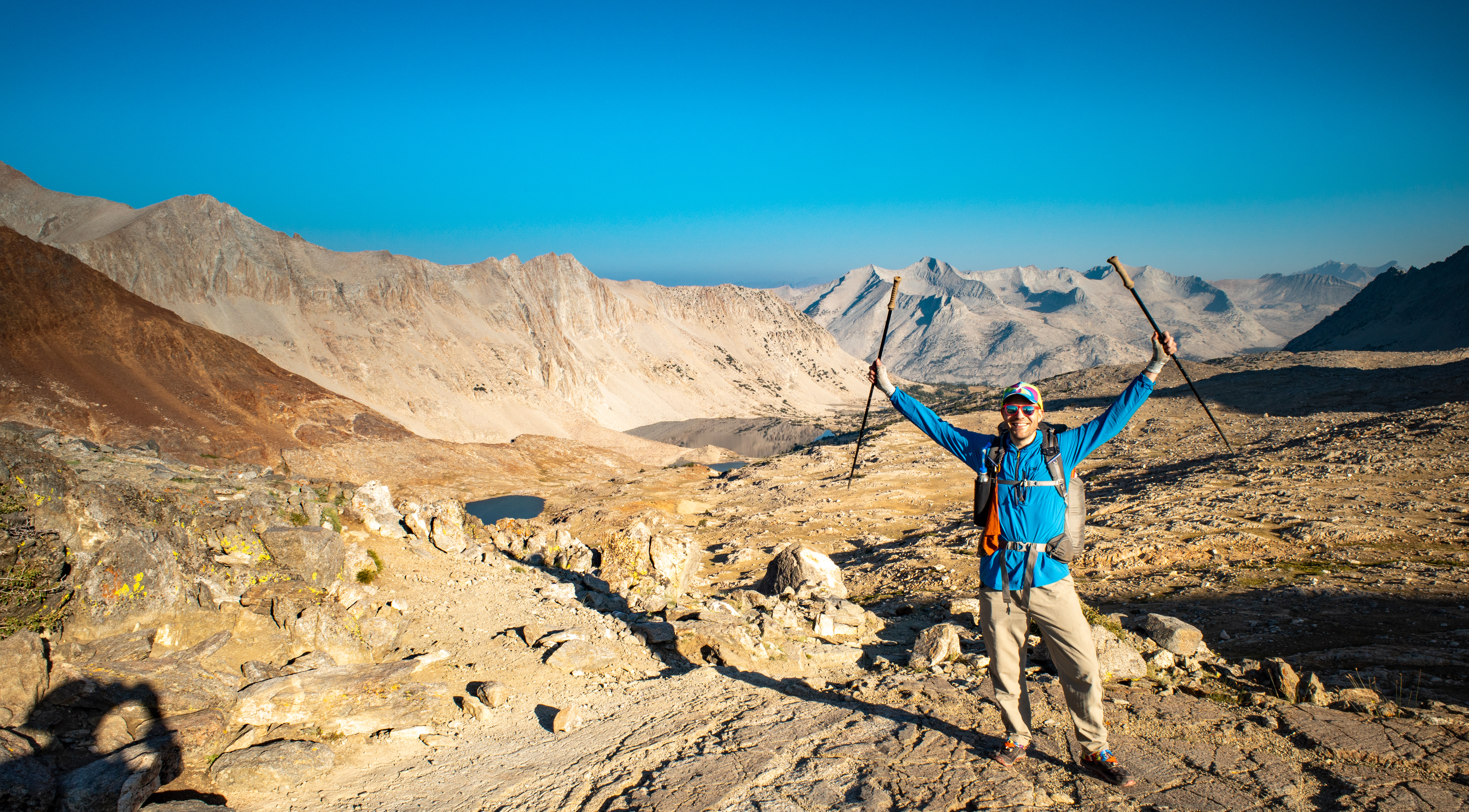
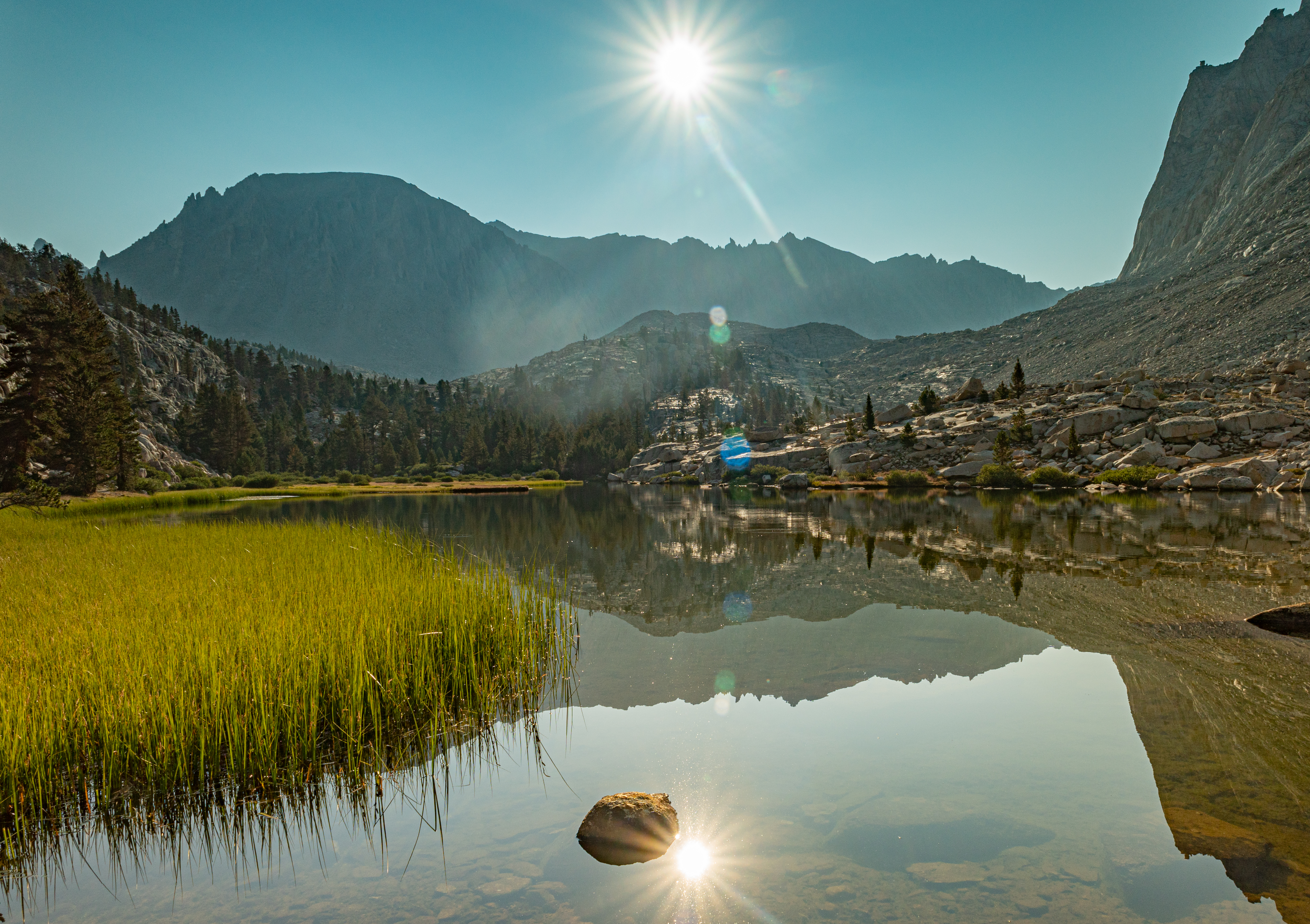
We then climbed Mather Pass and got most of our day’s climb out of the way while still in the shade. We stopped at the top for a break before continuing down the south side of the pass.
-
View towards Palisade Lakes Climbing Mather Pass -
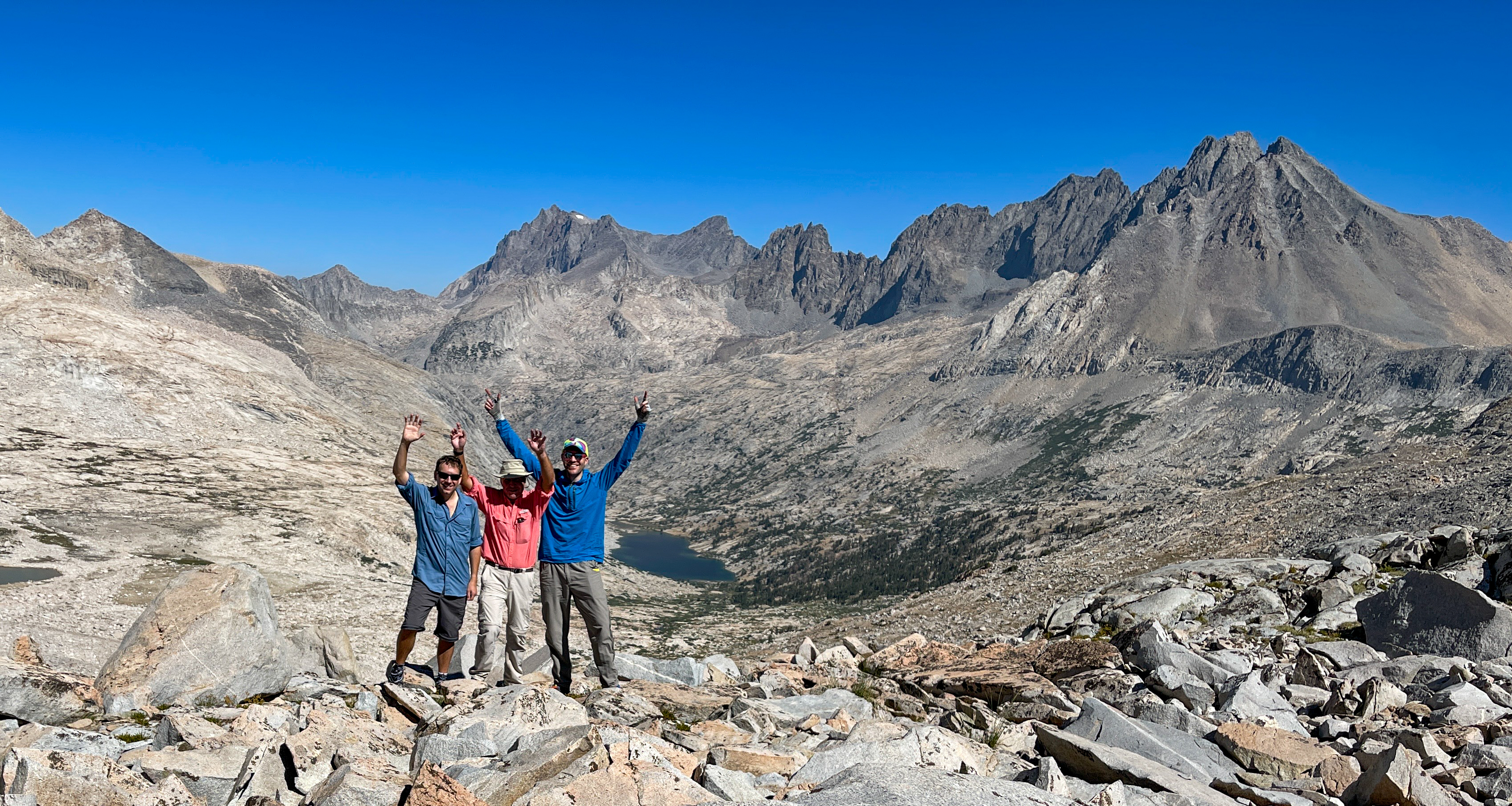
Celebrating on Mather Pass -
Mather Pass -
Lunch on Mather Pass -

View south from Mather Pass
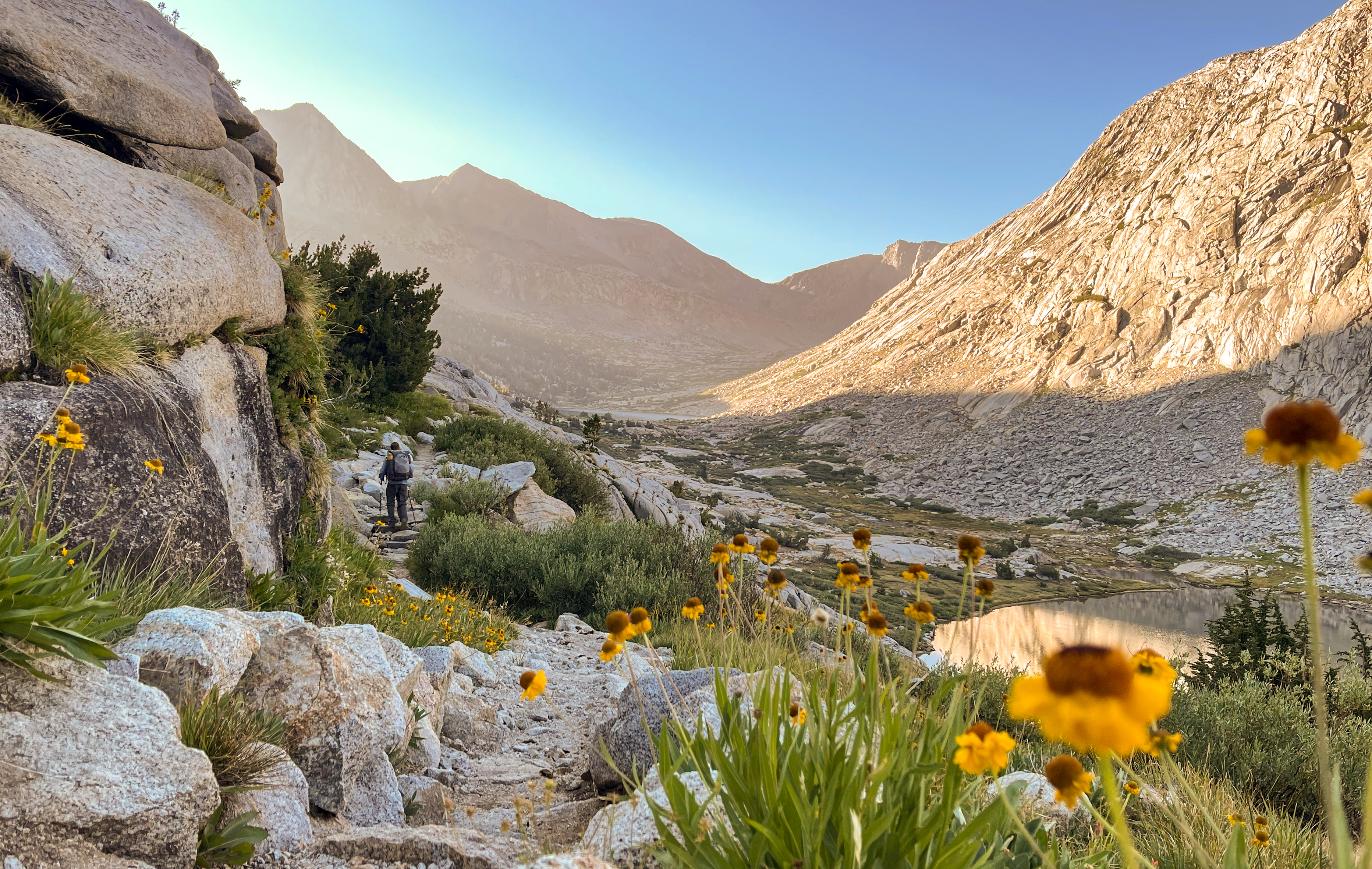
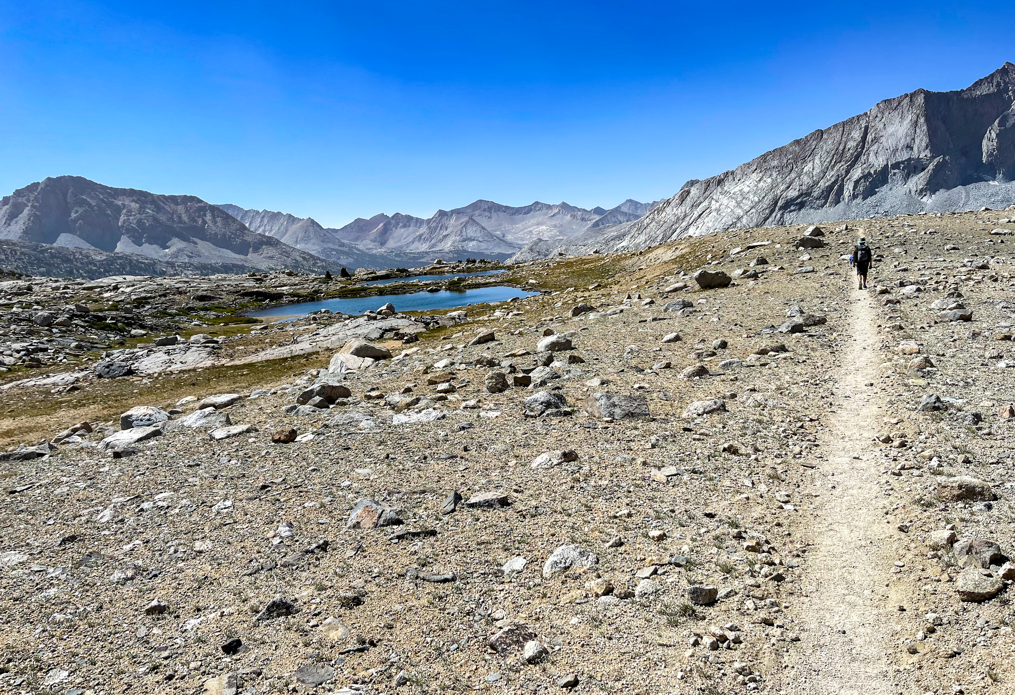
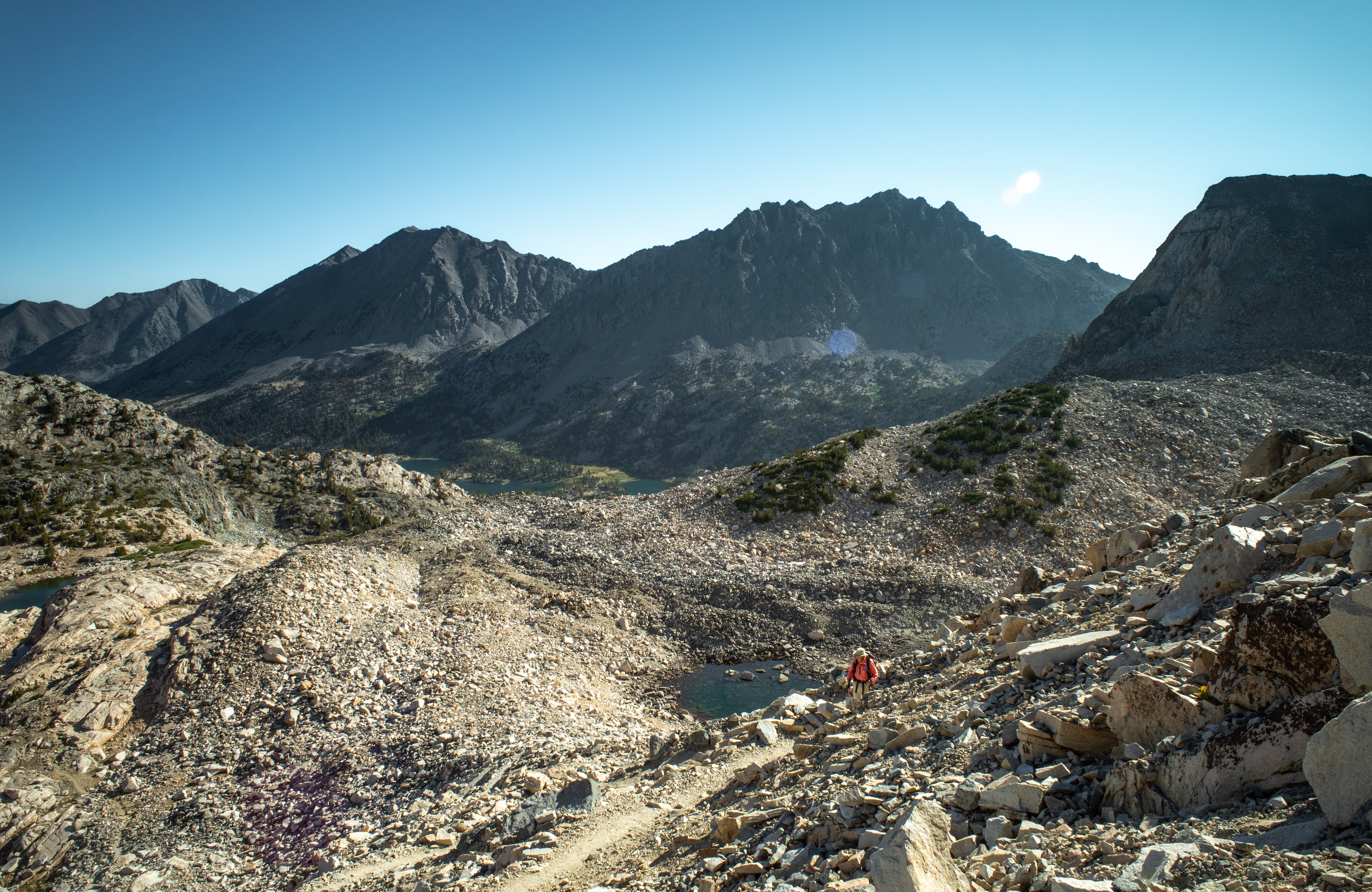
After Mather Pass we descended on switchbacks and then walked through Upper Basin which was dotted with small tarns. The trail through Upper Basin was nicely graded with a constant descent and we made good time here as we reached the South Fork Kings River.
-
Descending Mather Pass -
Upper Basin -
Upper Basin -
Upper Basin -
Upper Basin -
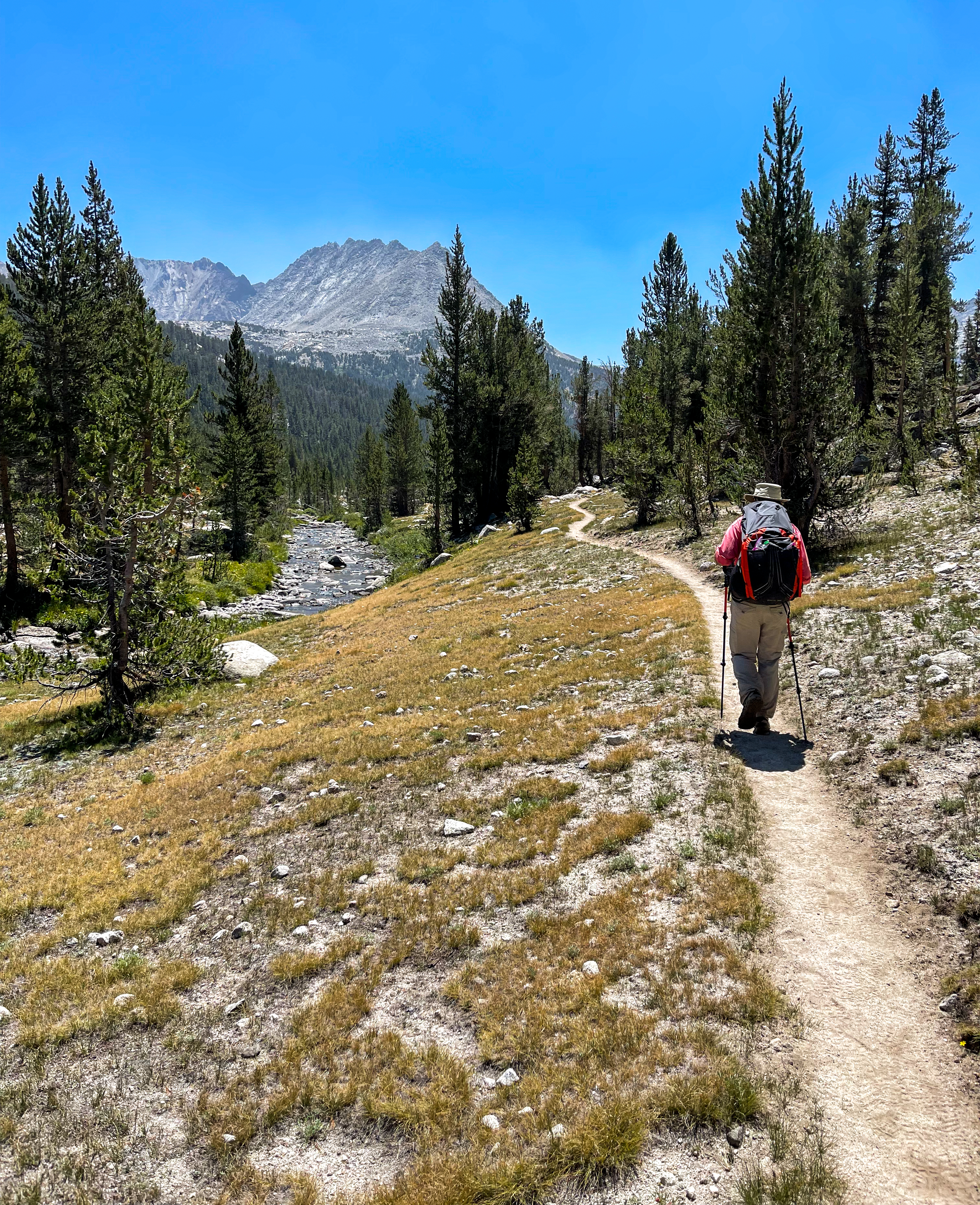
South Fork Kings River
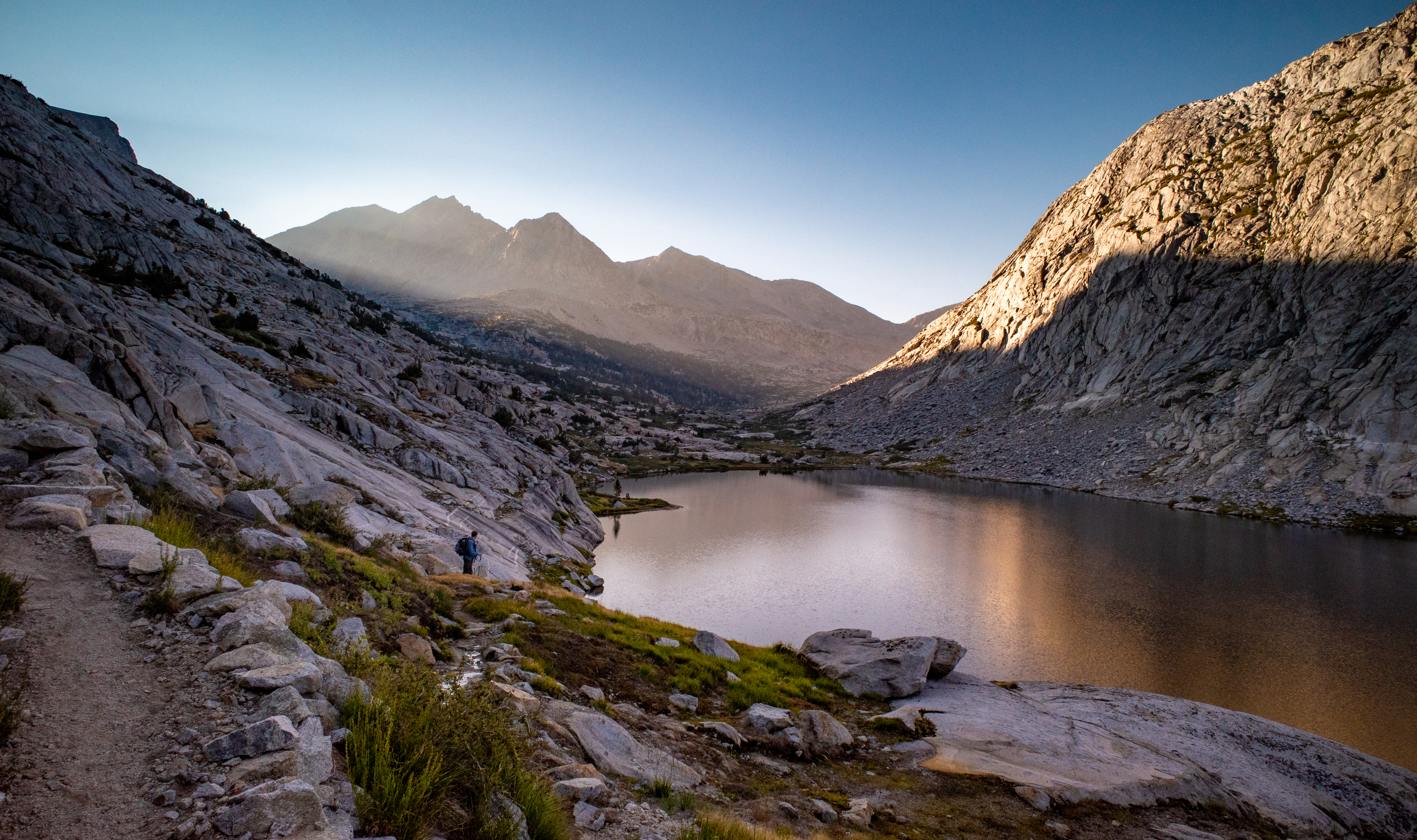
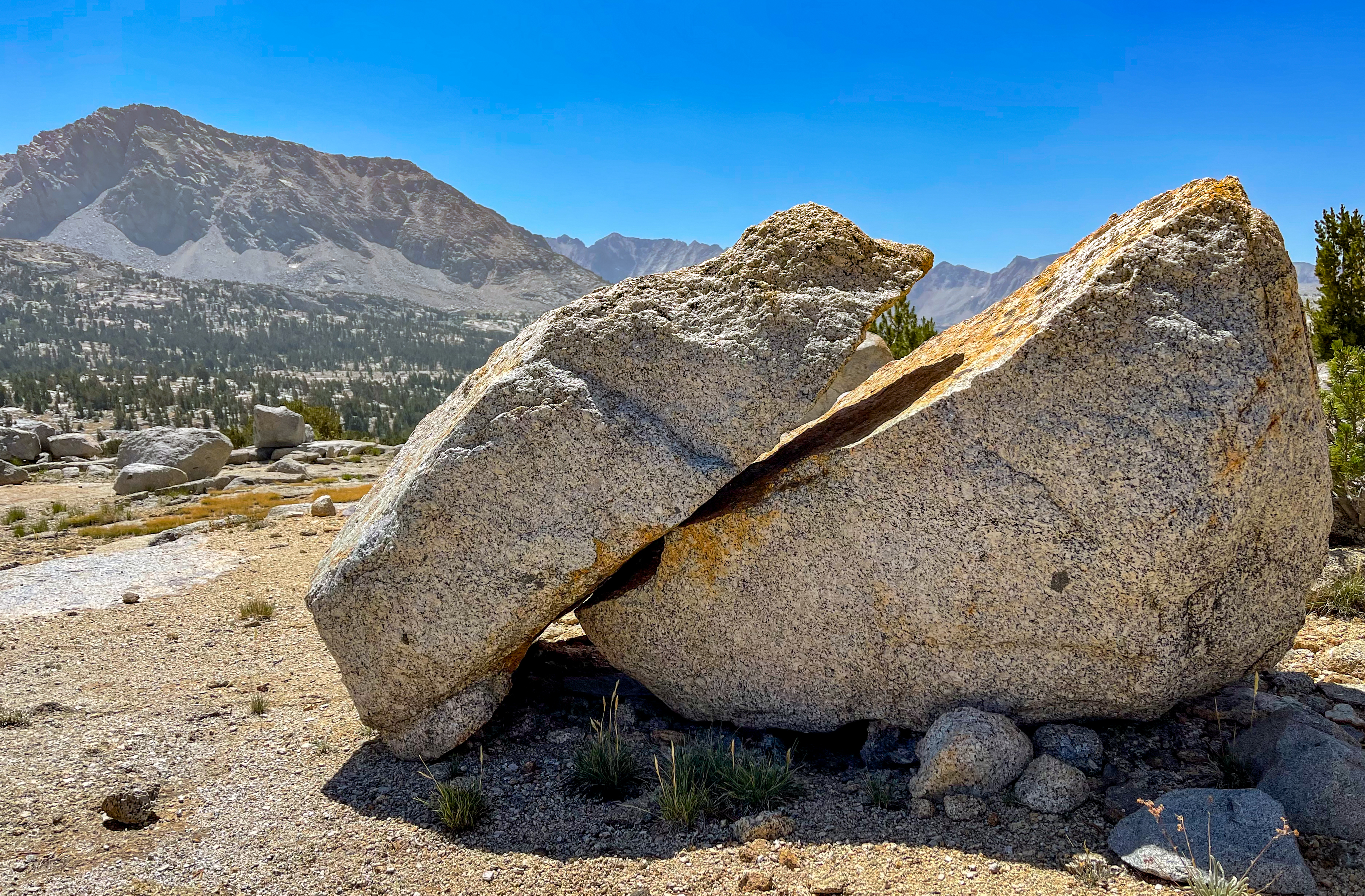
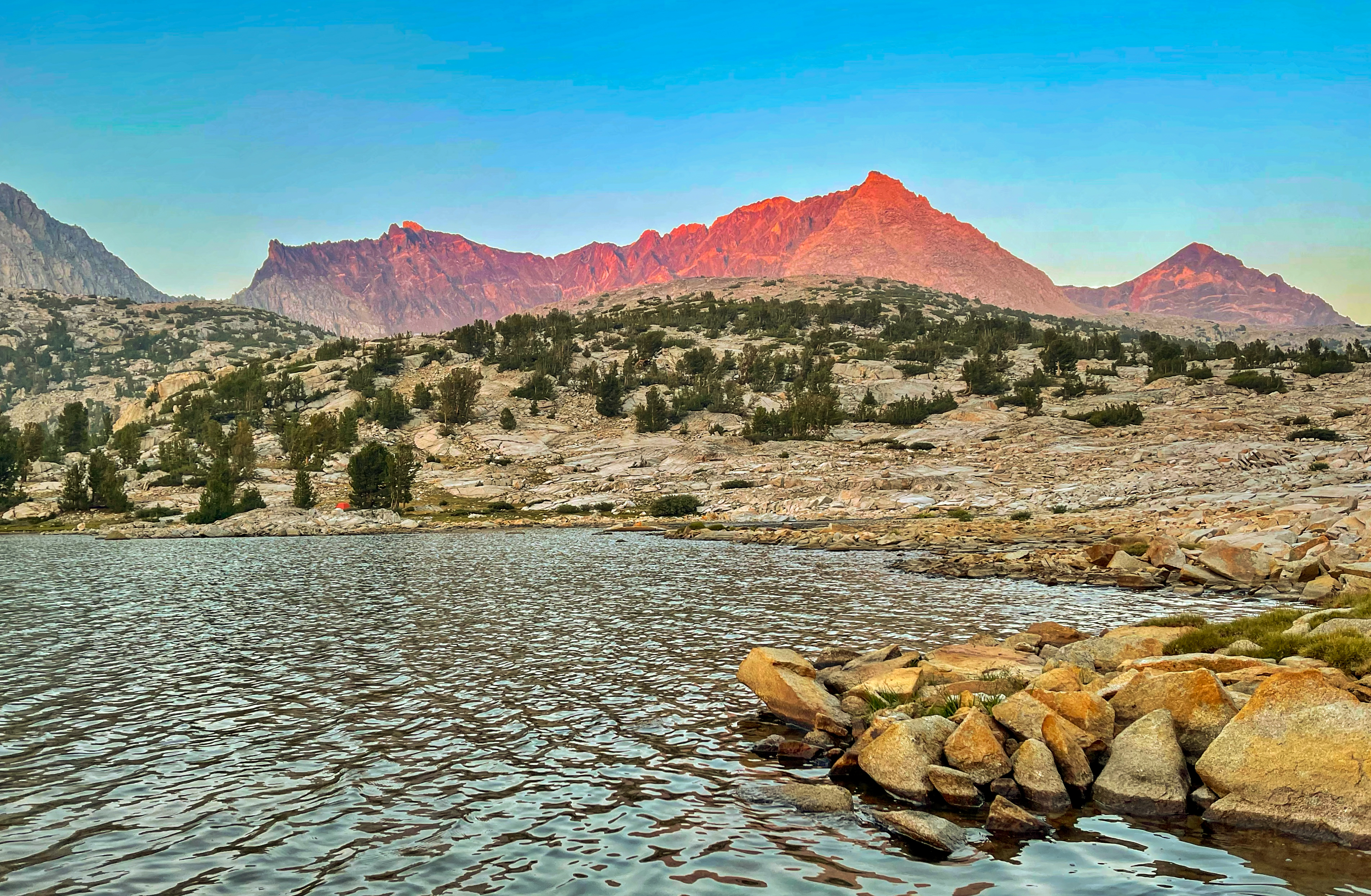
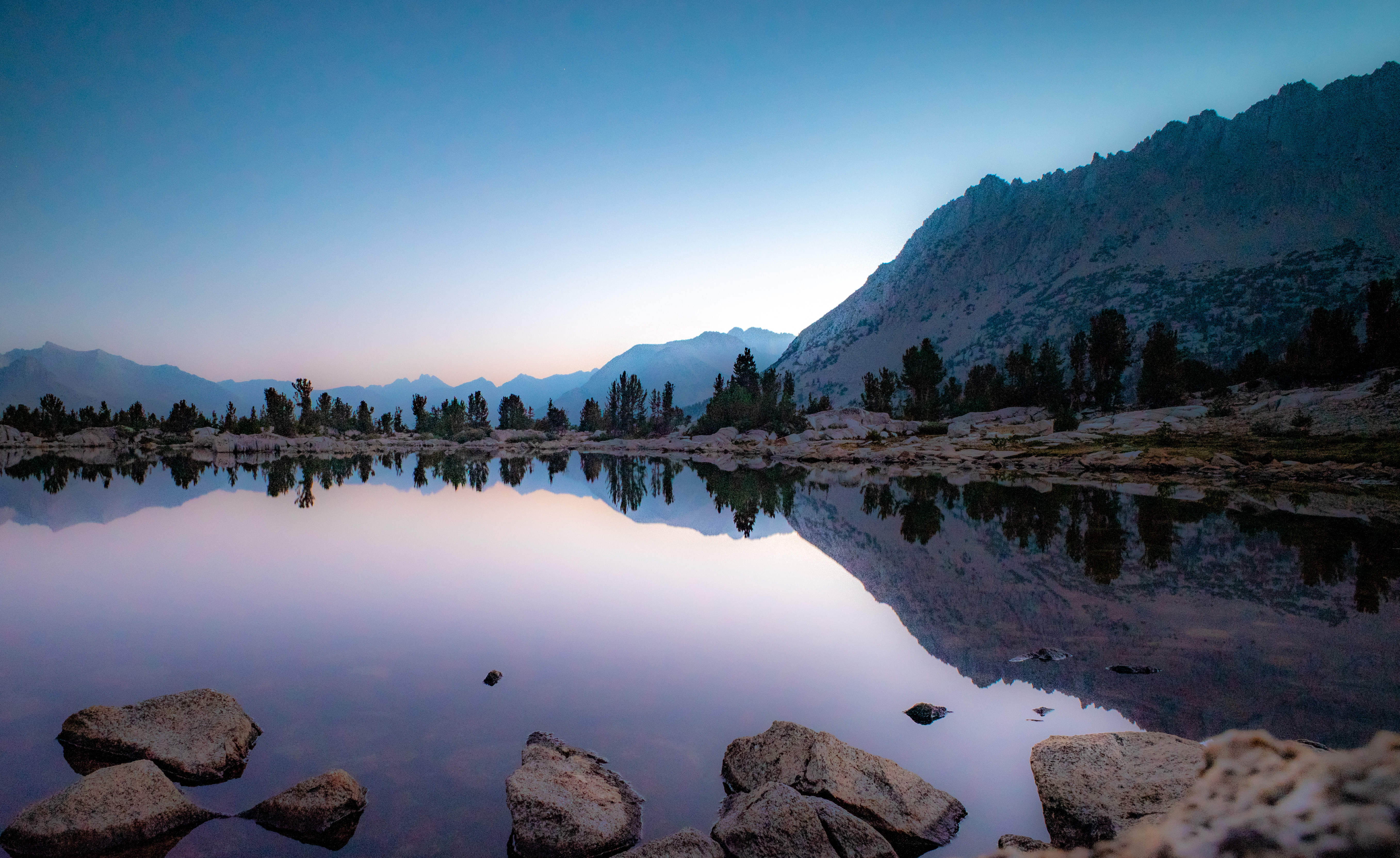
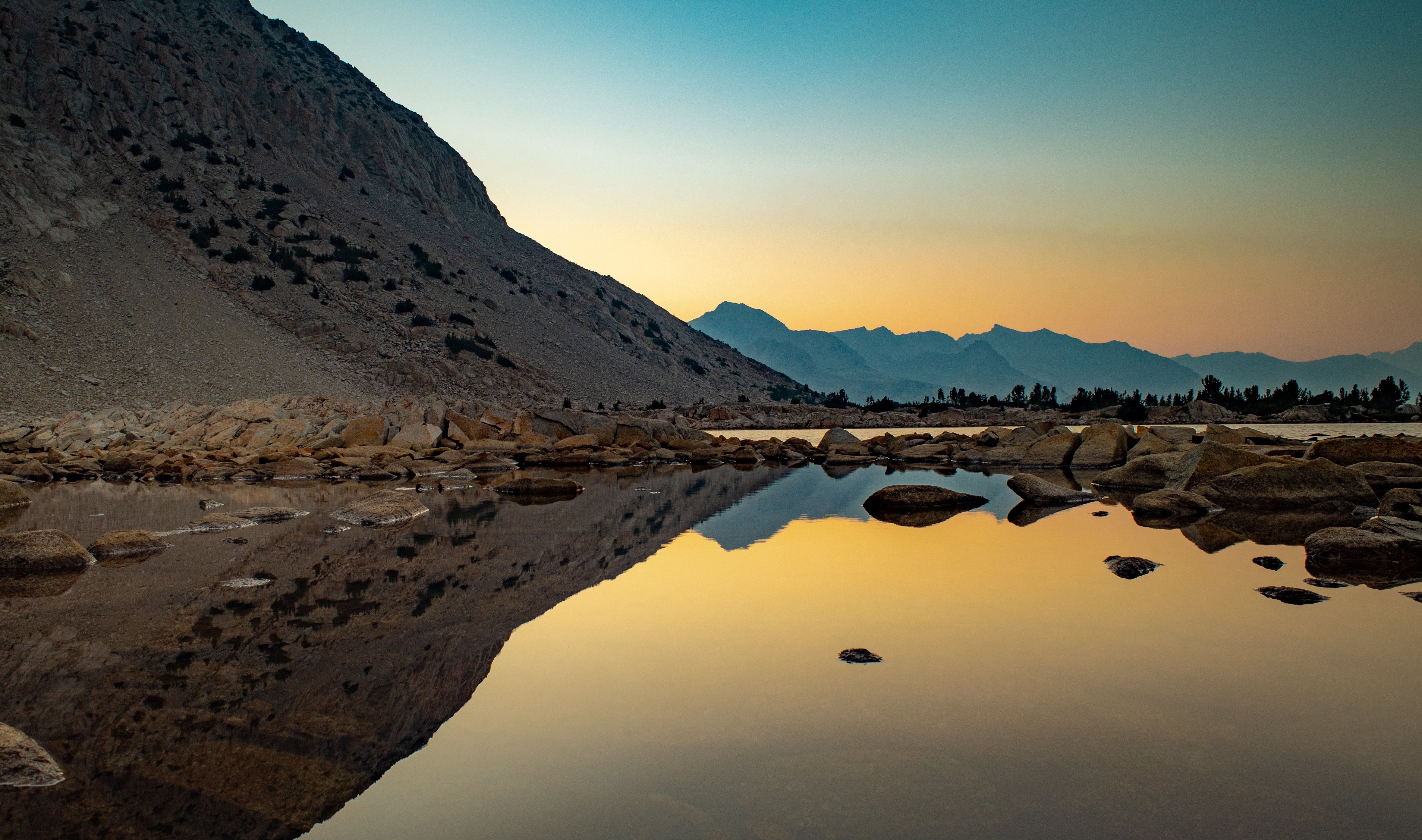
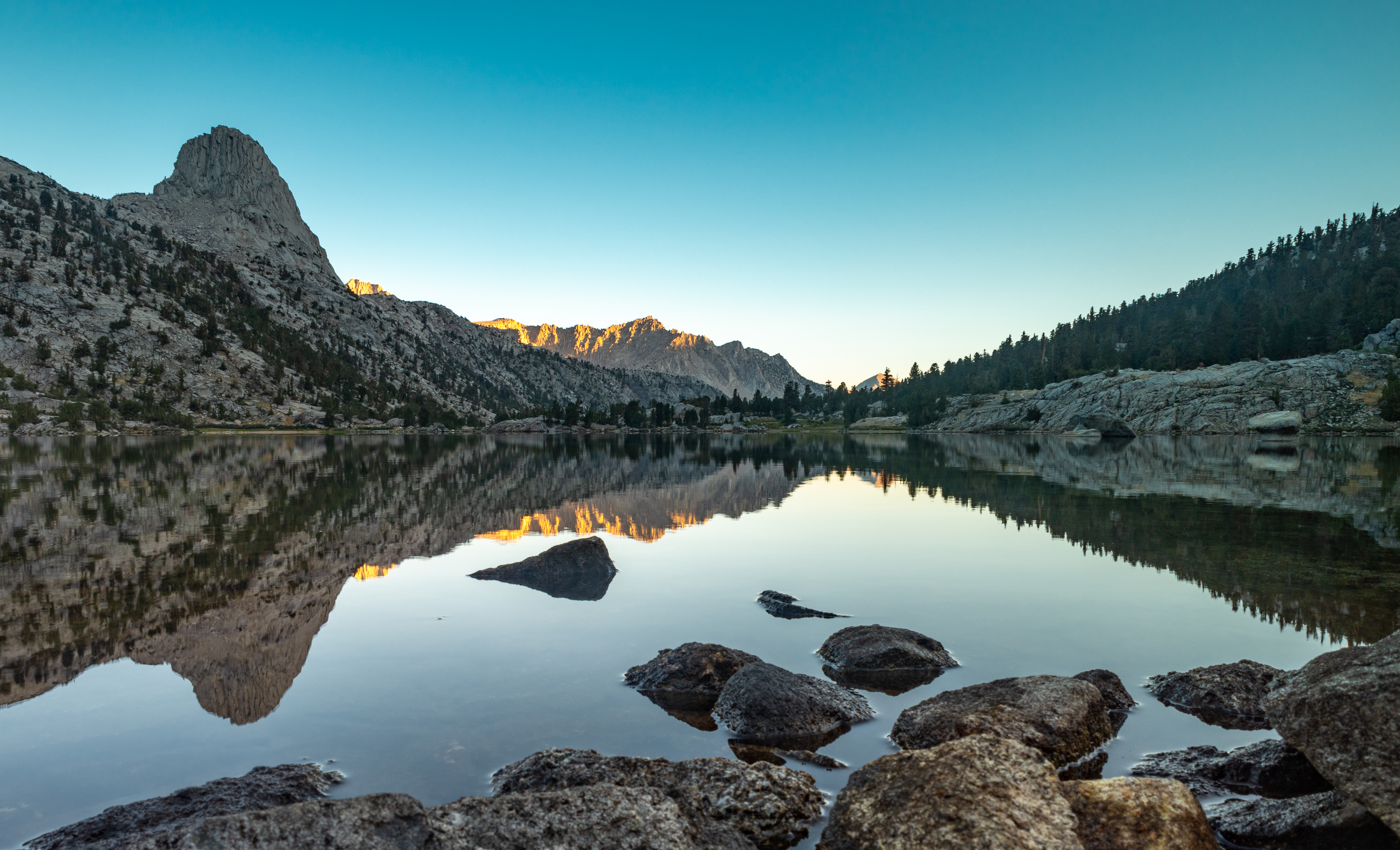
Our plan was to camp at Lake Marjorie, but I came across this beautiful little lake and assumed it had to be the much-praised Lake Marjorie and I stopped and set up camp. It turned out I had stopped at an unnamed lake just north of Lake Marjorie. No problem. We had the lake to ourselves at a lovely camp site right next to the lake and we were able to experience a colorful sunset as the last rays reflected off the nearby mountains and in the still lake. As the sun was setting, the lake also came alive with flying fish hopping out of the water.
-
-
-
-
-
Our campsite next to the unnamed lake
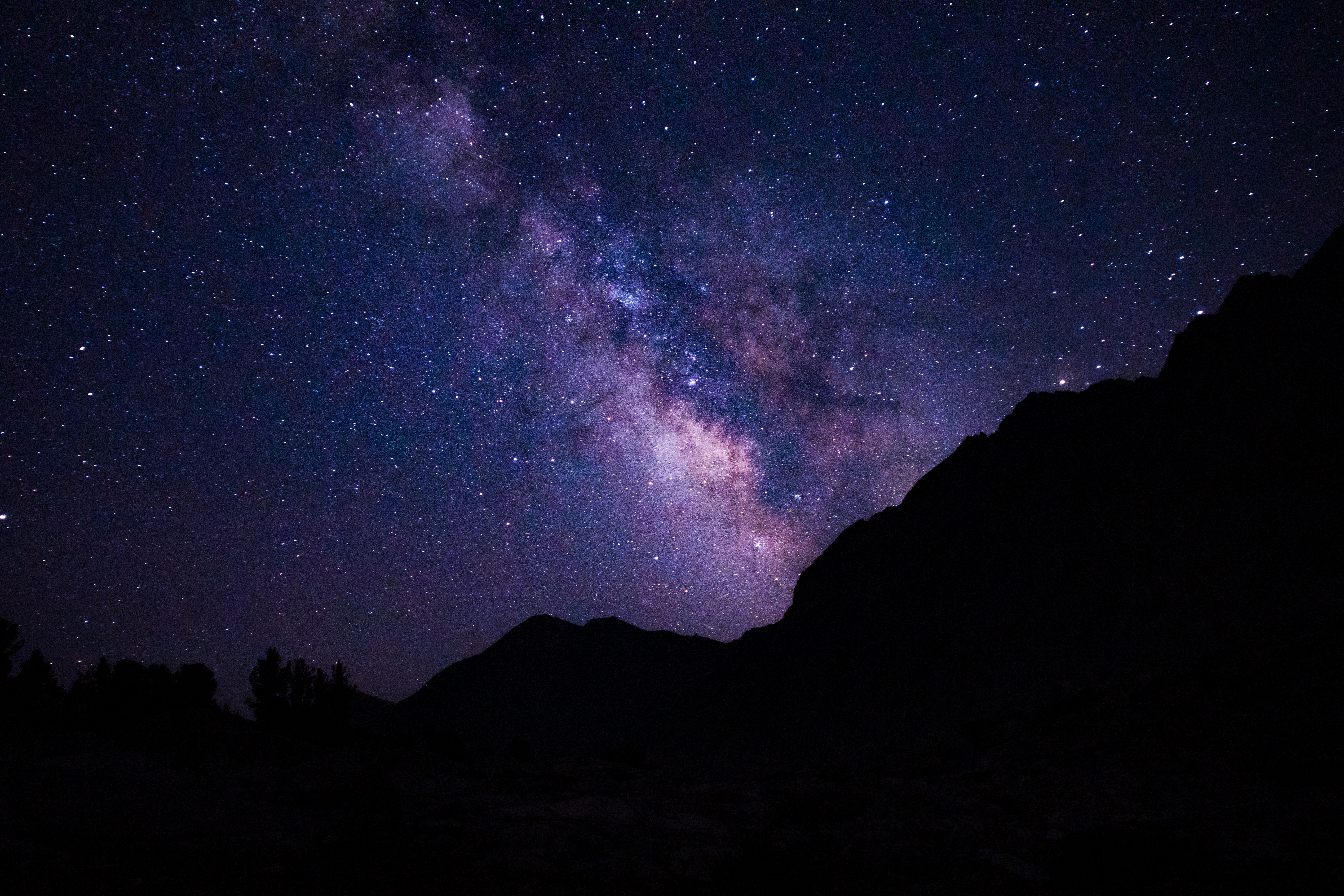
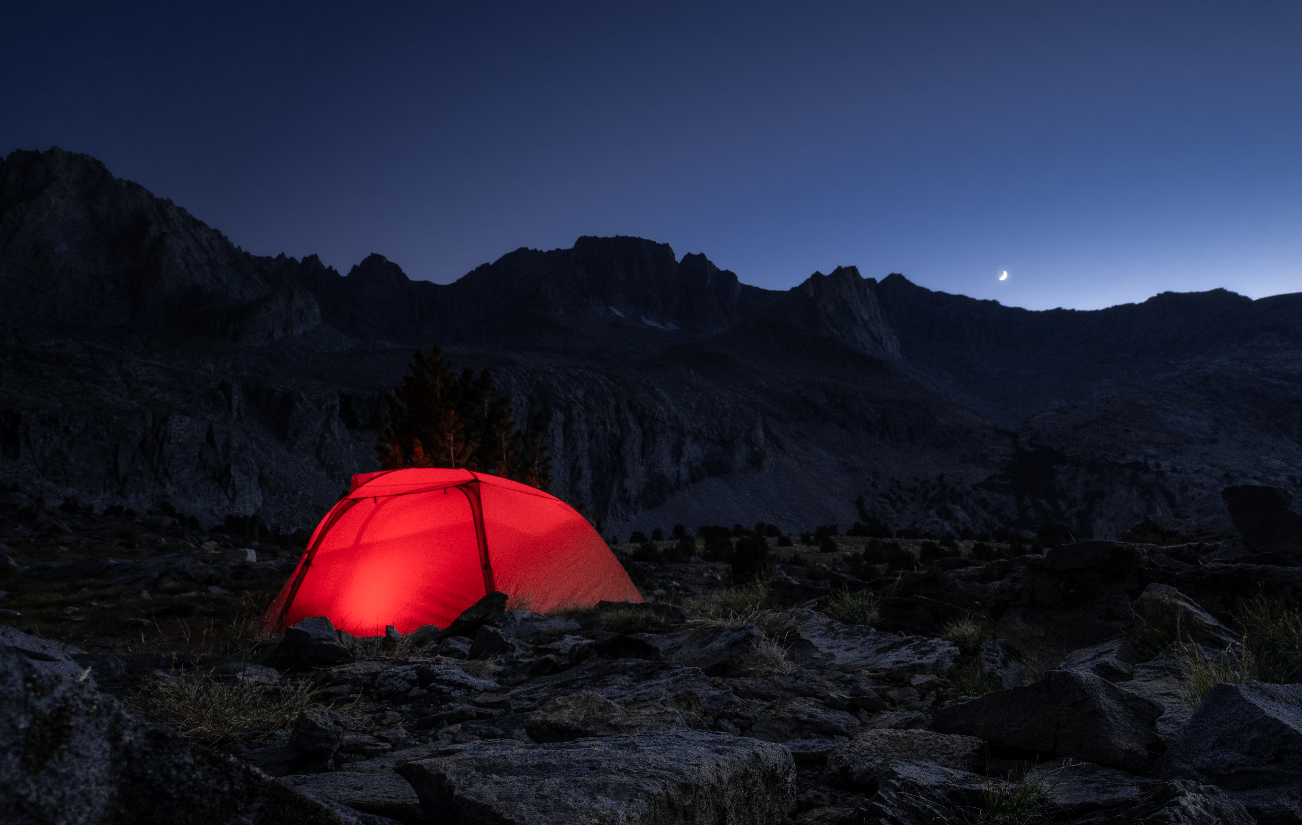
I had specifically planned the trip so it would take place during the new moon and be as dark as possible because I wanted to experiment with night photography. Day 2 (August 9th) was the day after the new moon, and while I was in my tent about to fall asleep, my brother came over around 9pm to tell me to look outside. I stepped outside of my tent and the Milky Way was bright and clearly visible over the mountains. It was an amazing site to see.
I pulled out my camera, set it on a tripod, and snapped a few shots at various settings, not sure how it would turn out. It turned out to be my first attempt at night photography and also my favorite shot of the trip:
Day 2 Journal
After a rough first day, we were worried about how today would go. We got up at 4am and hit the trail by 5am.
We climbed the Golden Staircase and made it to Mather Pass almost completely in the shade, which was really nice.
From there, it was a nice decent to the South Fork Kings River, followed by about 1,000 foot climb. The plan was to camp at Lake Marjorie, but I screwed up and stopped at the lake right before. It was a great campsite next to the lake, with some nice sunset lights on the surrounding mountains and reflecting off the lake.
We all enjoyed some whiskey with dinner after washing off in the lake. I jumped in which of course was cold, but not as cold as some other lakes.
The plan for tomorrow is to get up at 5am and hike about 15 miles to Rae Lakes.
journal excerpt 8-8-21
Day 3 – Tarn near Lake Marjorie to Rae Lakes
Start: Unnamed tarn just north of Lake Marjorie
End: Rae Lakes
Distance: 15.3 miles
Elevation gain: +3,811′

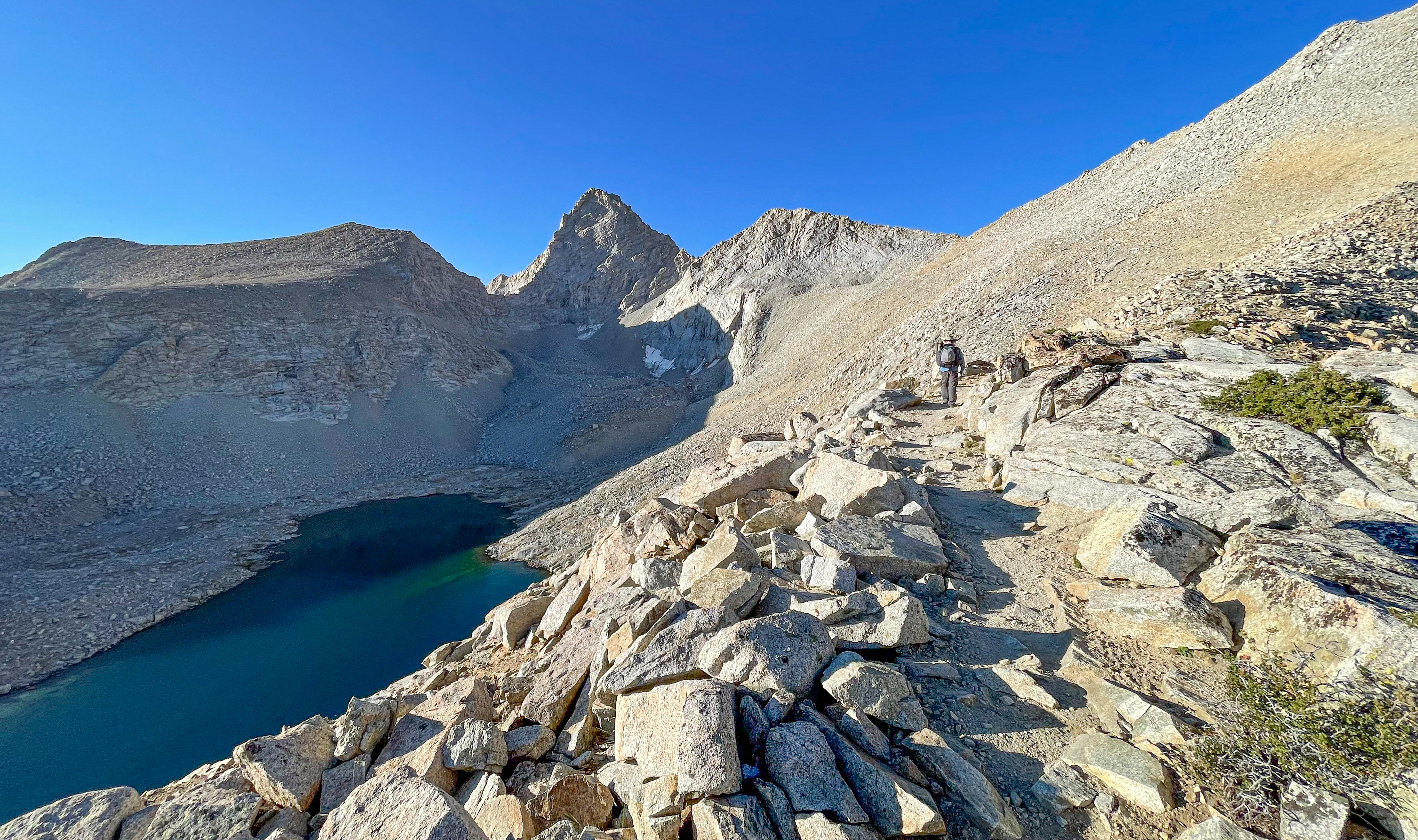
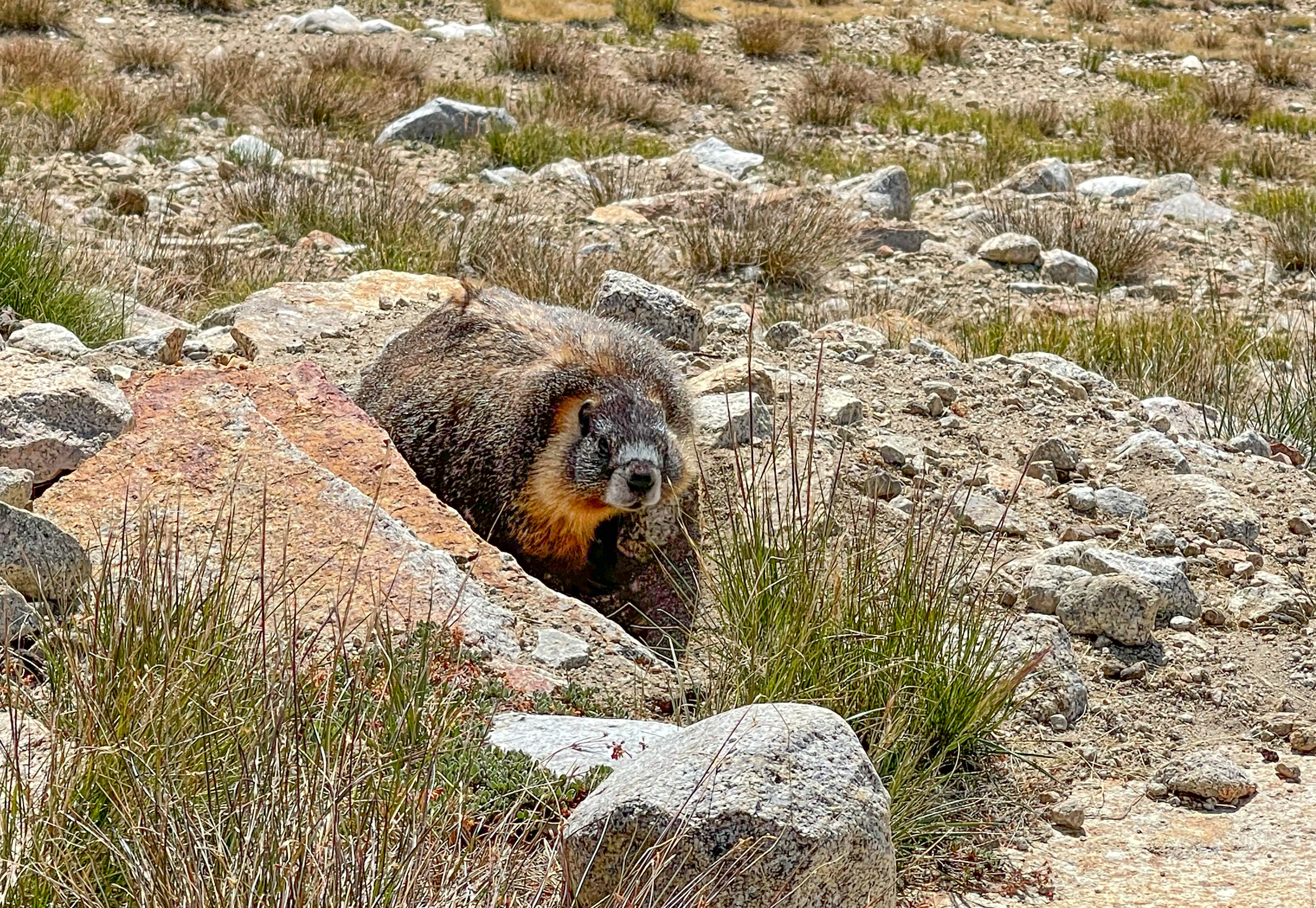
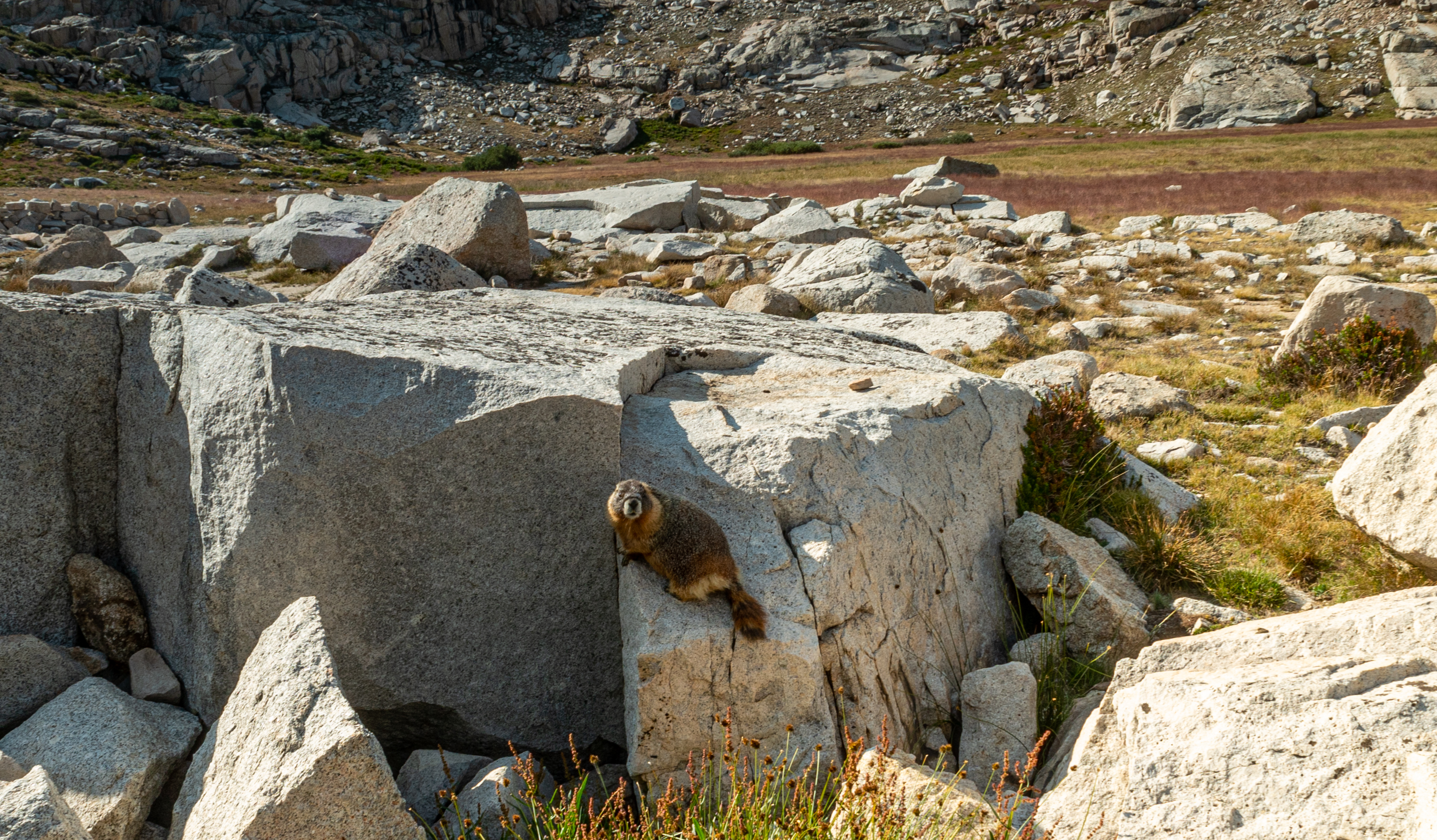
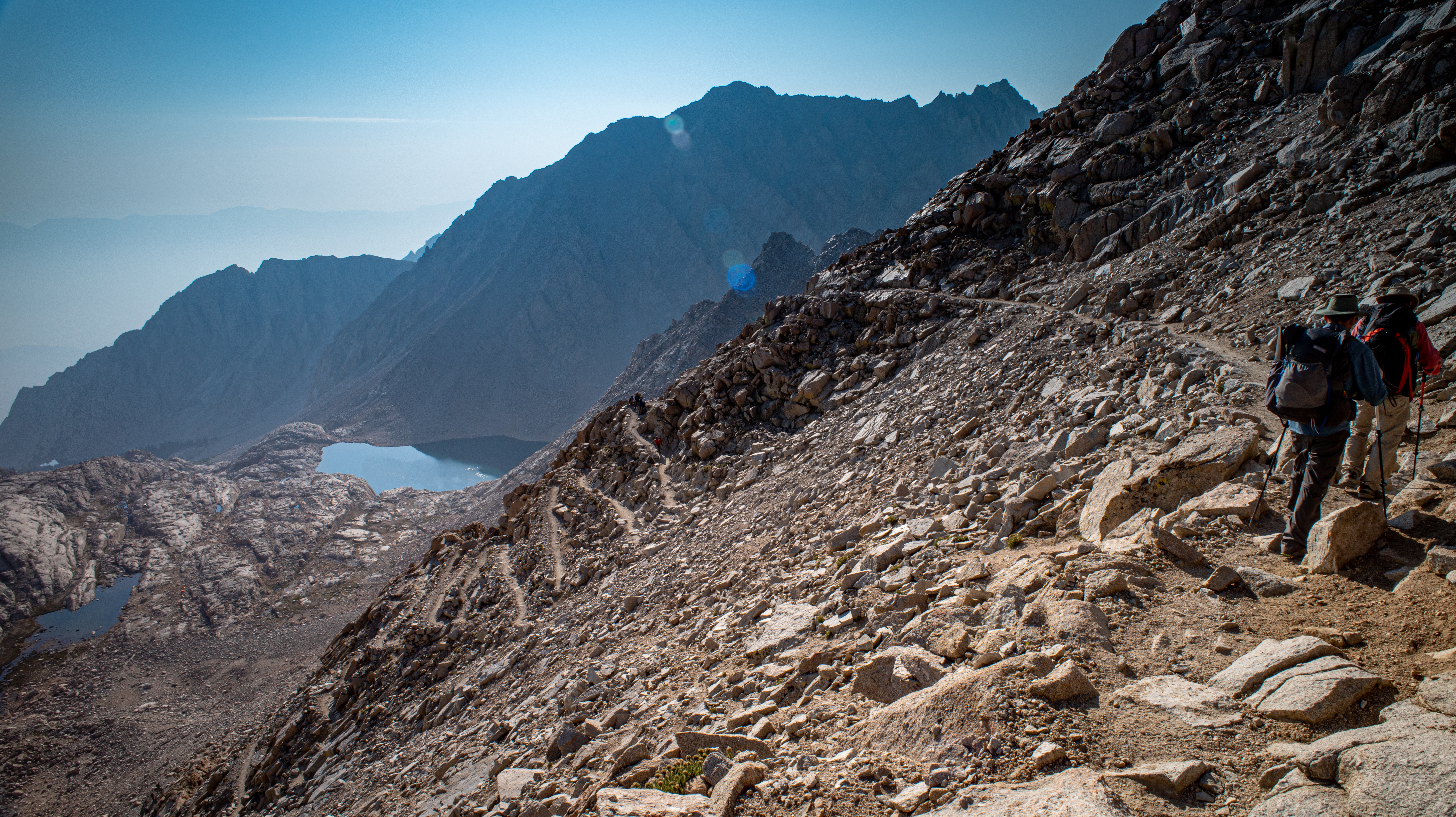
We got up around 5am, had a quick breakfast, packed up, and started hiking past Lake Marjorie and towards Pinchot Pass. A marmot was keeping tabs on us as we hiked past.
We made it up Pinchot Pass, with incredible views in both directions.
-
Climbing up the north side of Pinchot Pass -
Climbing Pinchot Pass -
View south from Pinchot Pass -
View north from Pinchot Pass
We descended Pinchot Pass, passing the beautiful red rocks of Crater Mountain, which does not have a crater.
-
Descending Pinchot Pass -
Crater Mountain
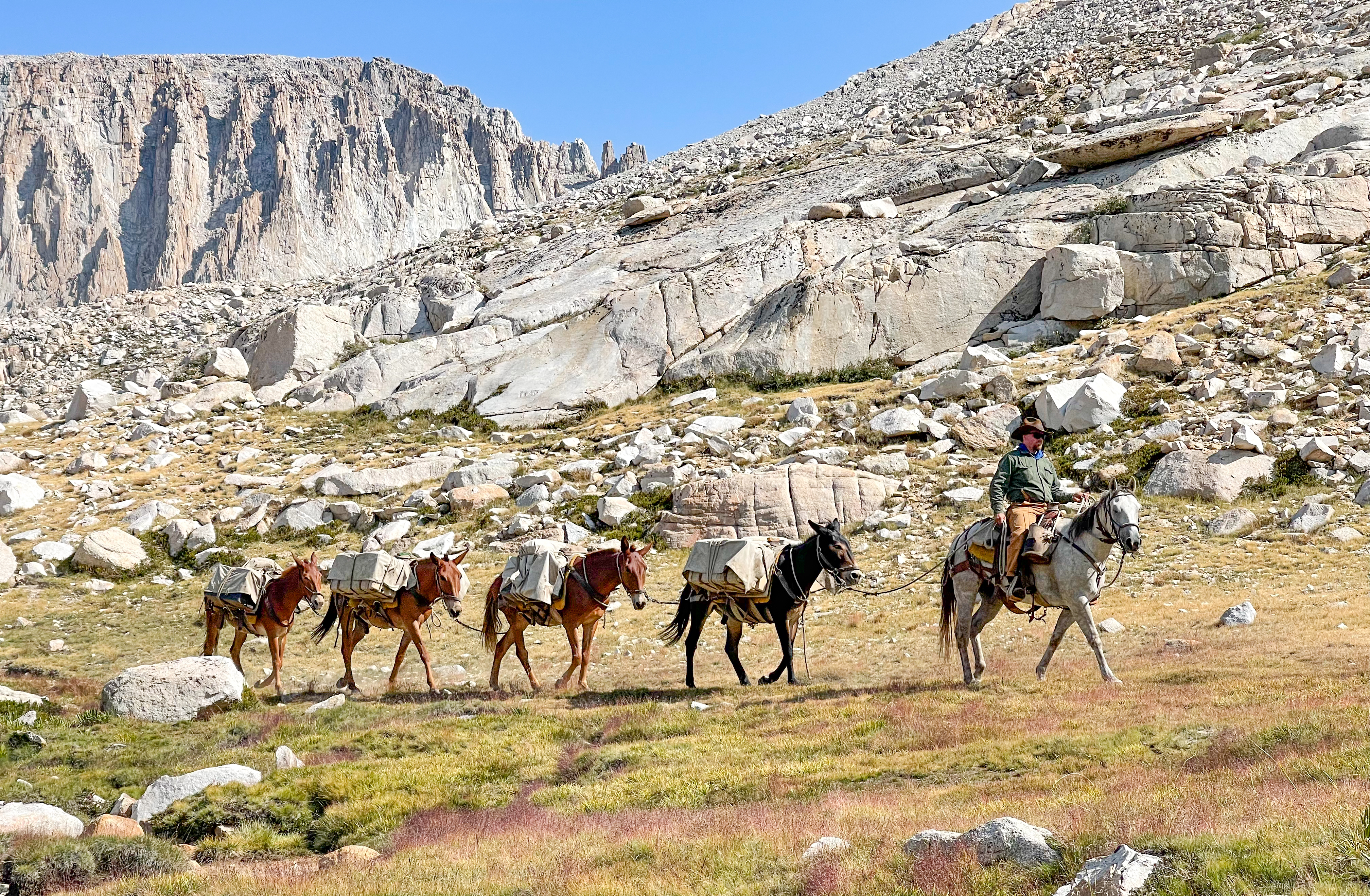
We continued to descend, passing the junction for Sawmill Pass and following Woods Creek until we reached the Woods Creek Suspension Bridge.
-
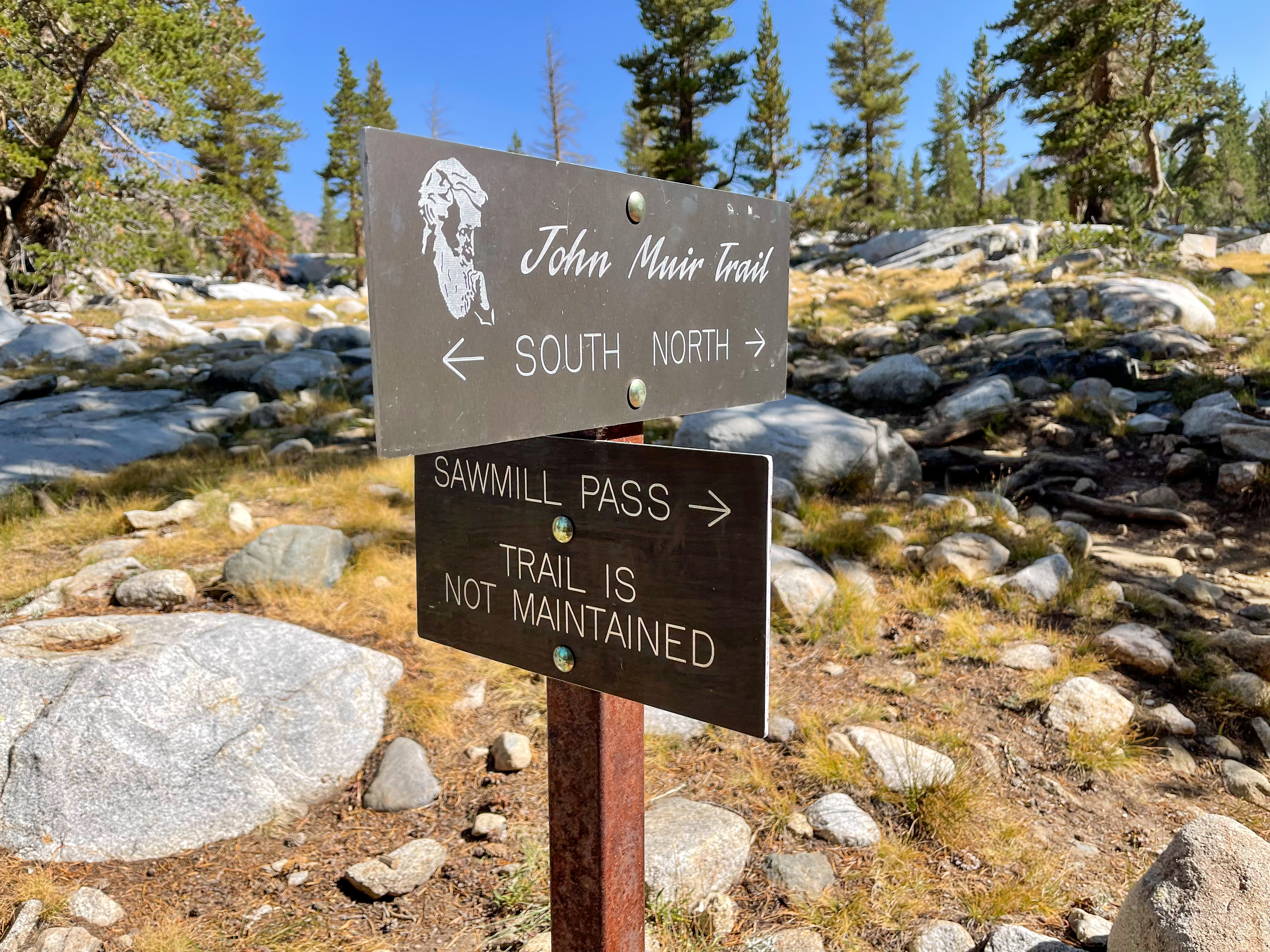
JMT Sawmill Pass Junction -
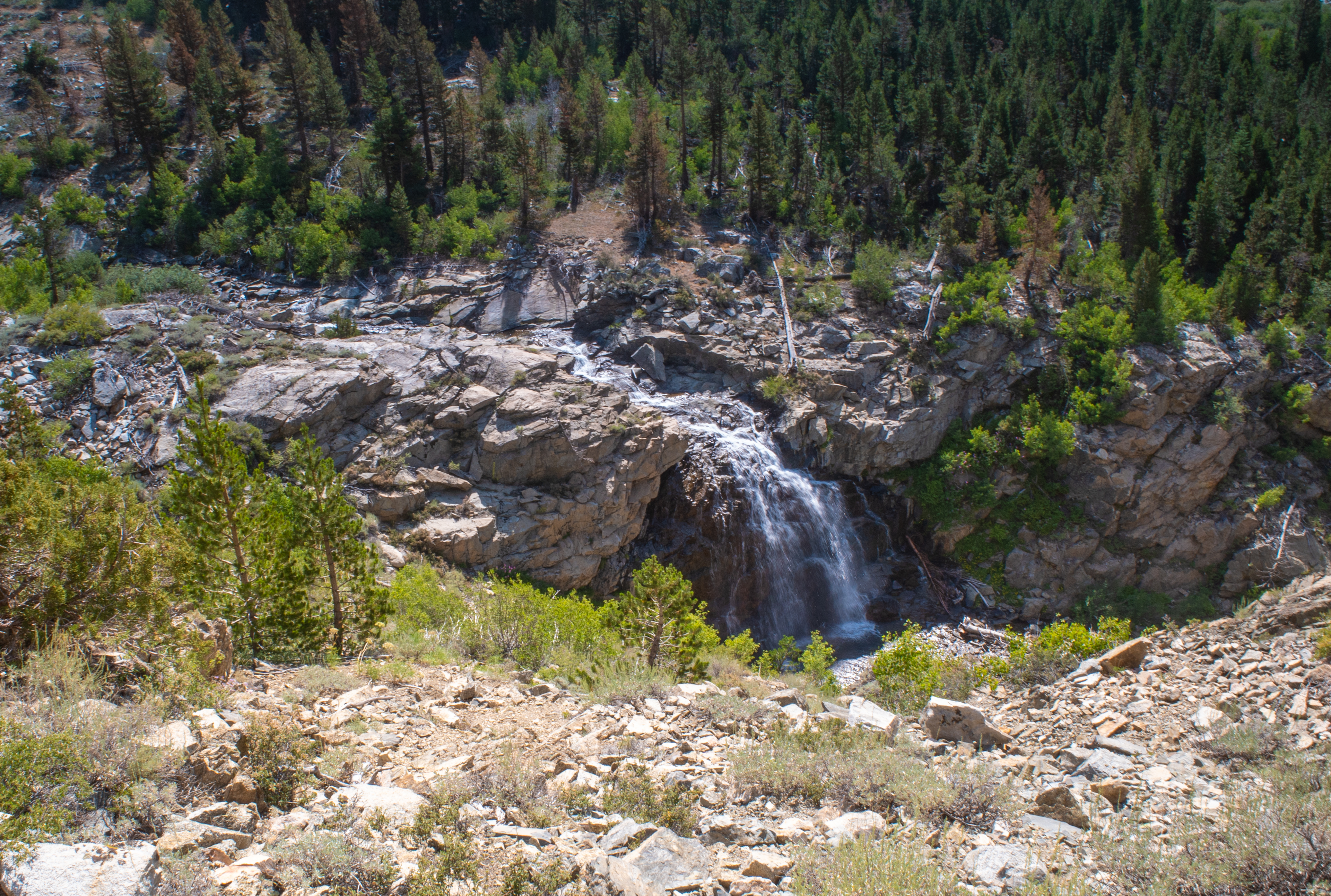
Falls along Woods Creek -
Along Woods Creek -
Along Woods Creek -
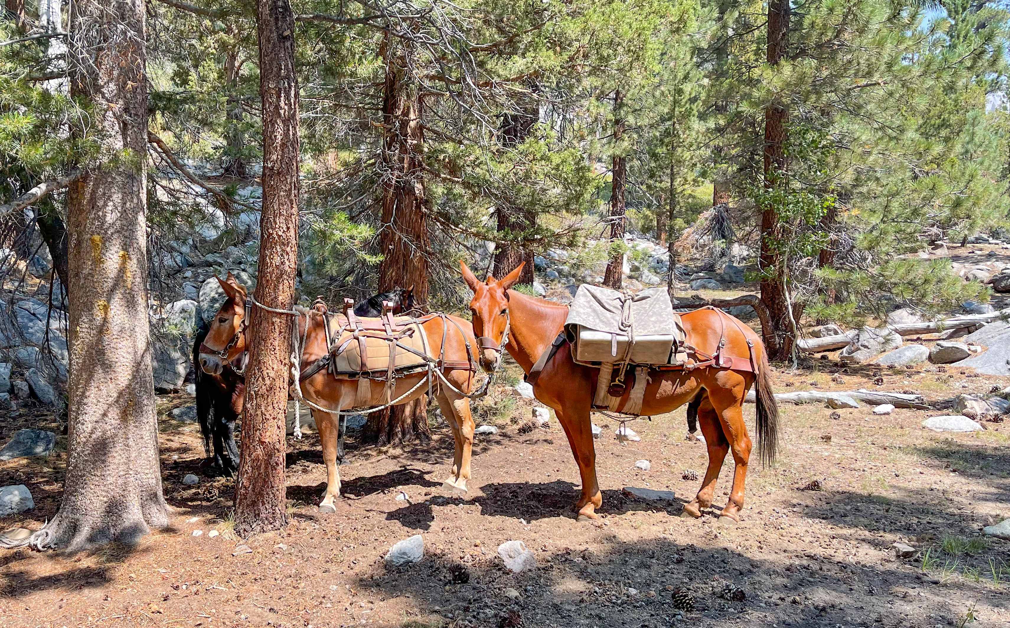
Pack mules near Woods Creek -
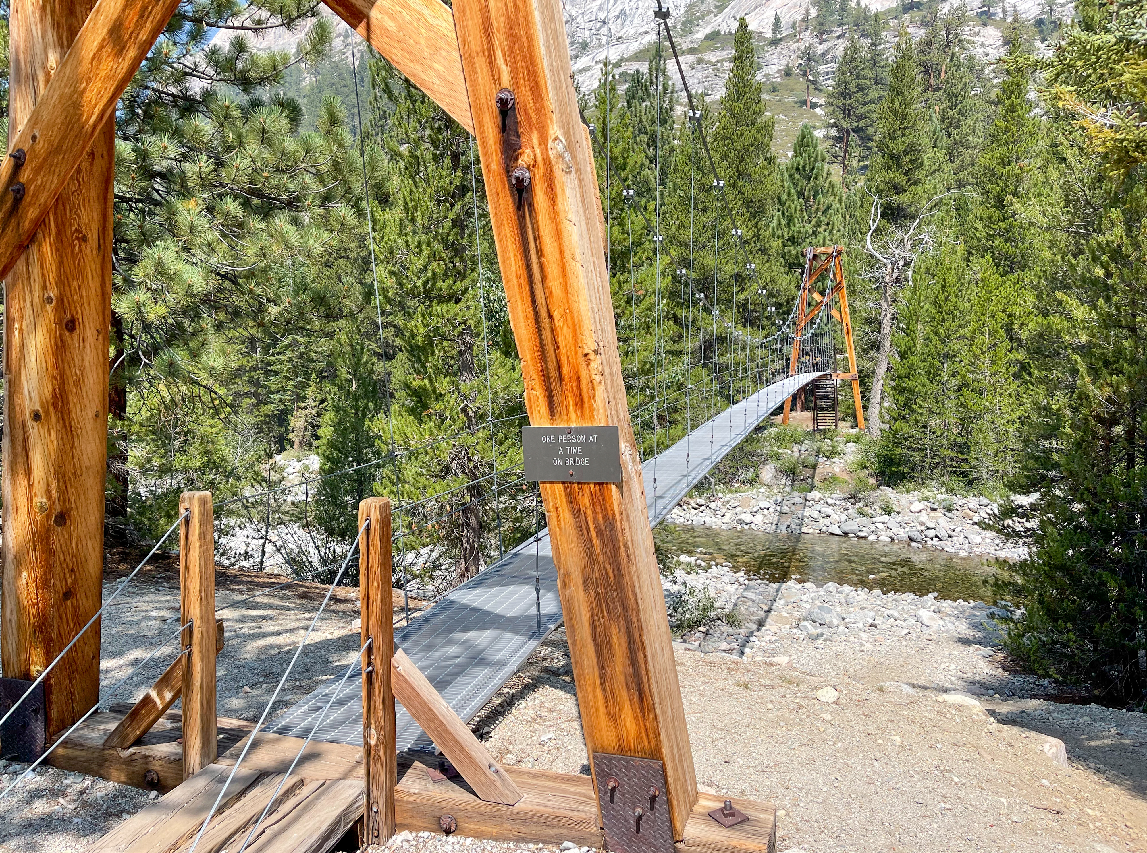
Woods Creek Suspension Bridge -
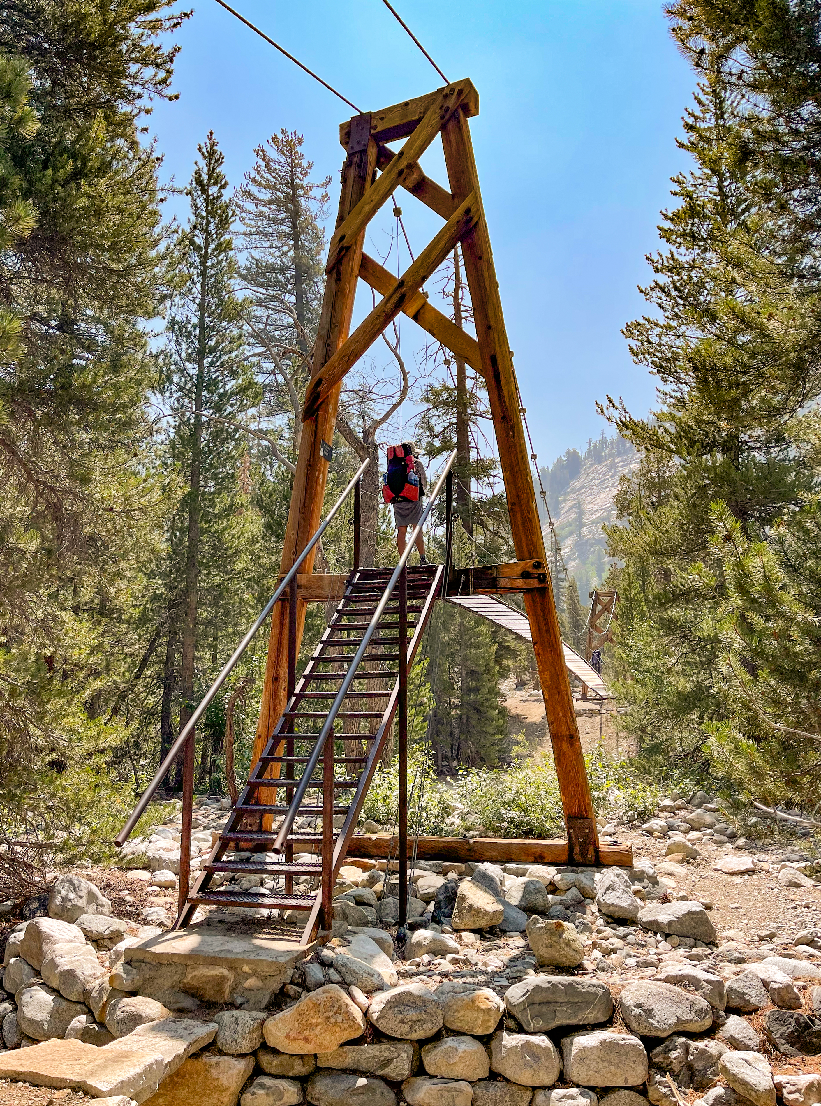
Woods Creek Suspension Bridge -
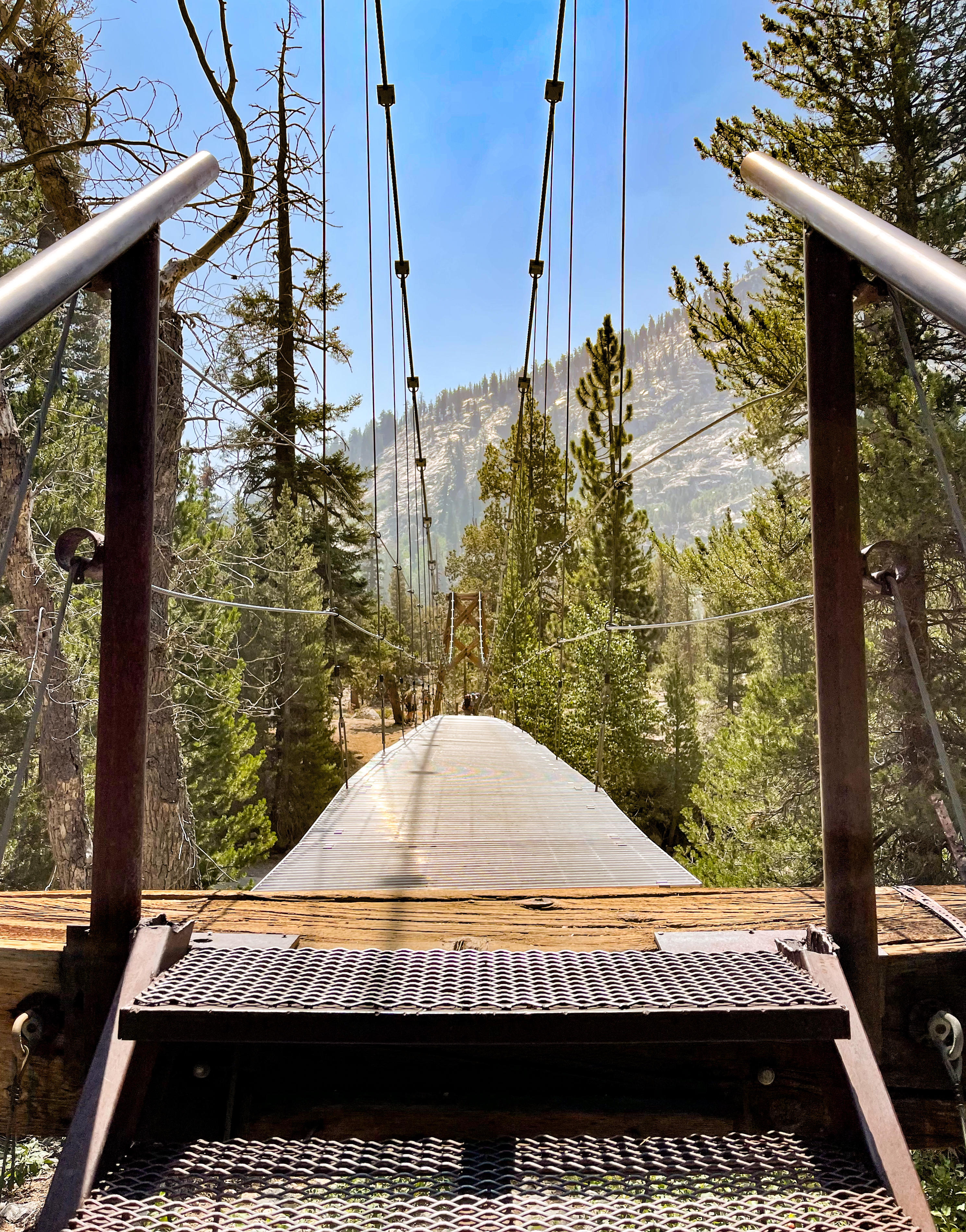
Woods Creek Suspension Bridge -
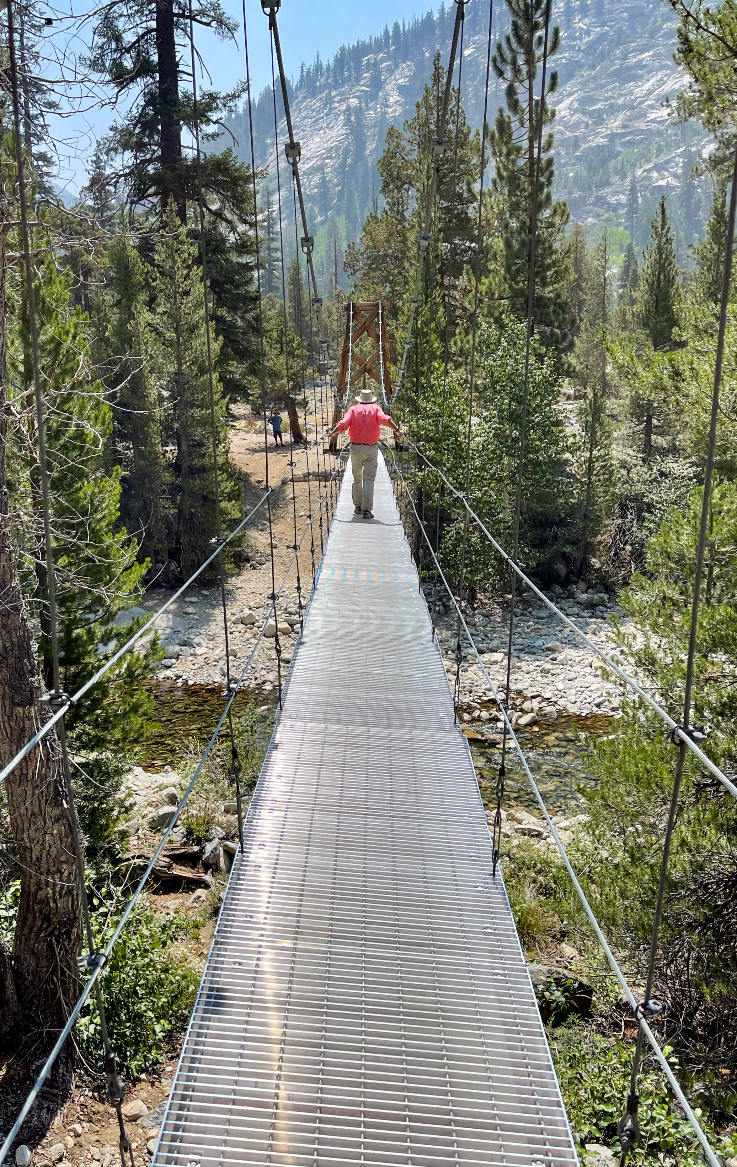
Woods Creek Suspension Bridge
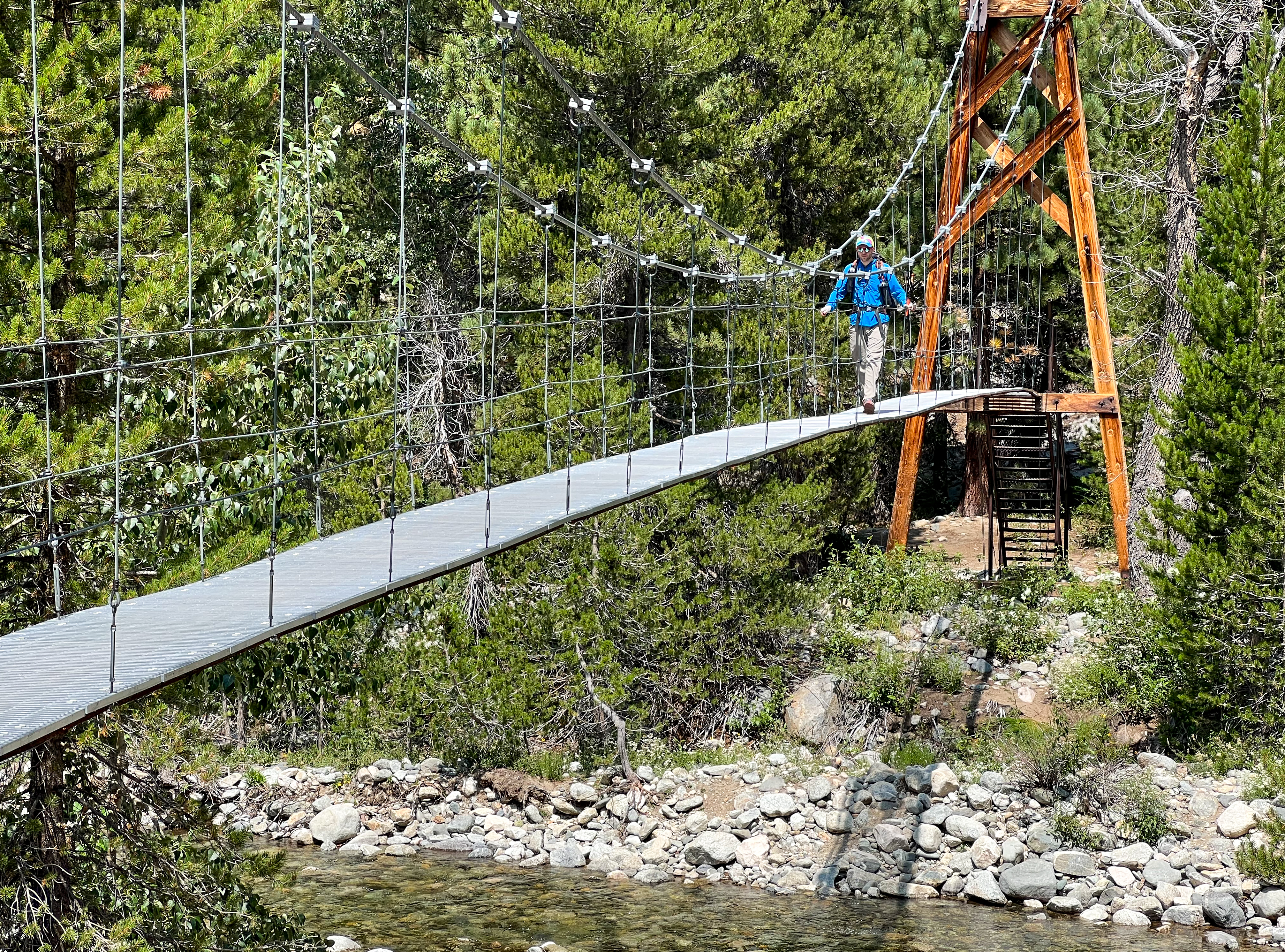
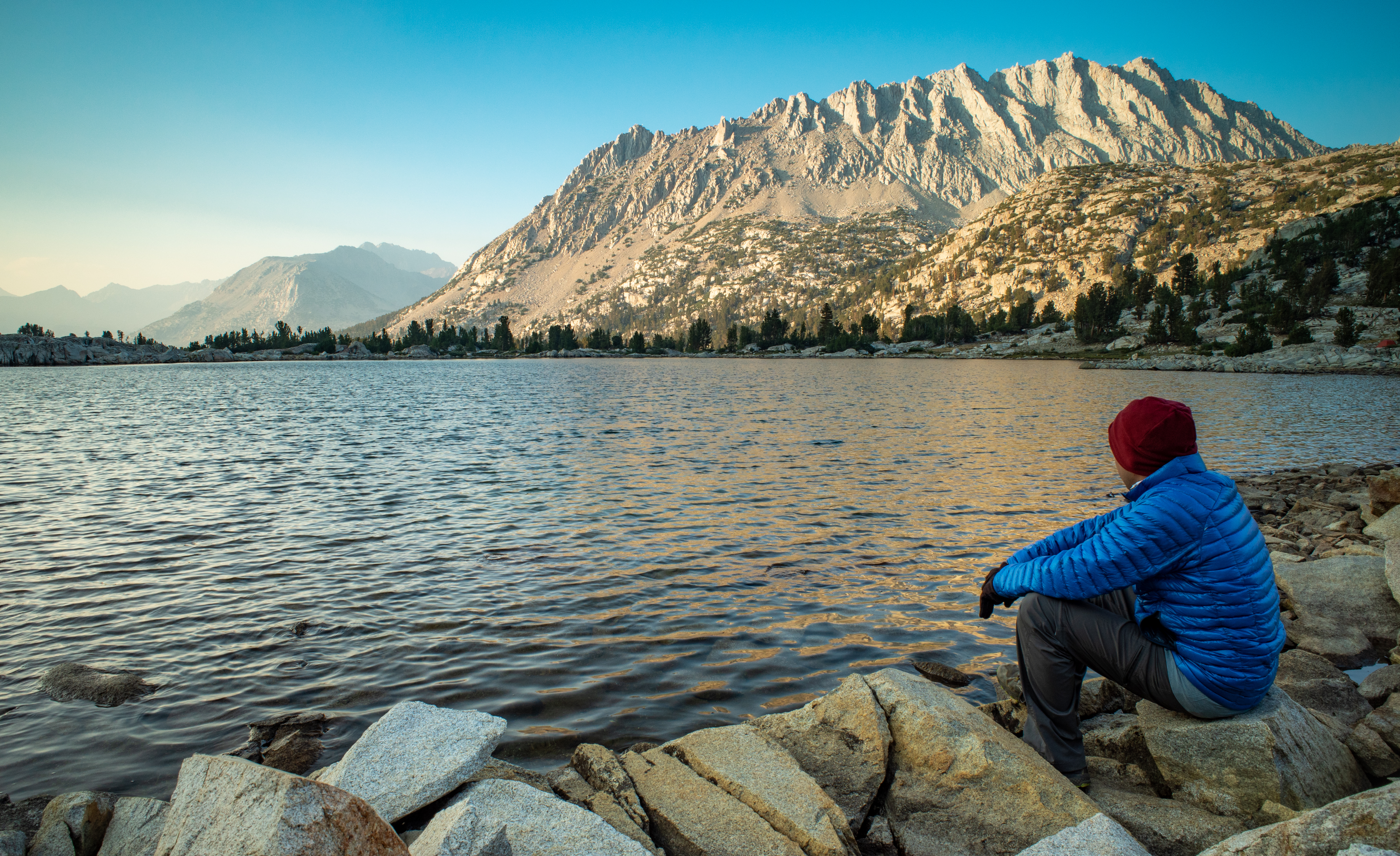
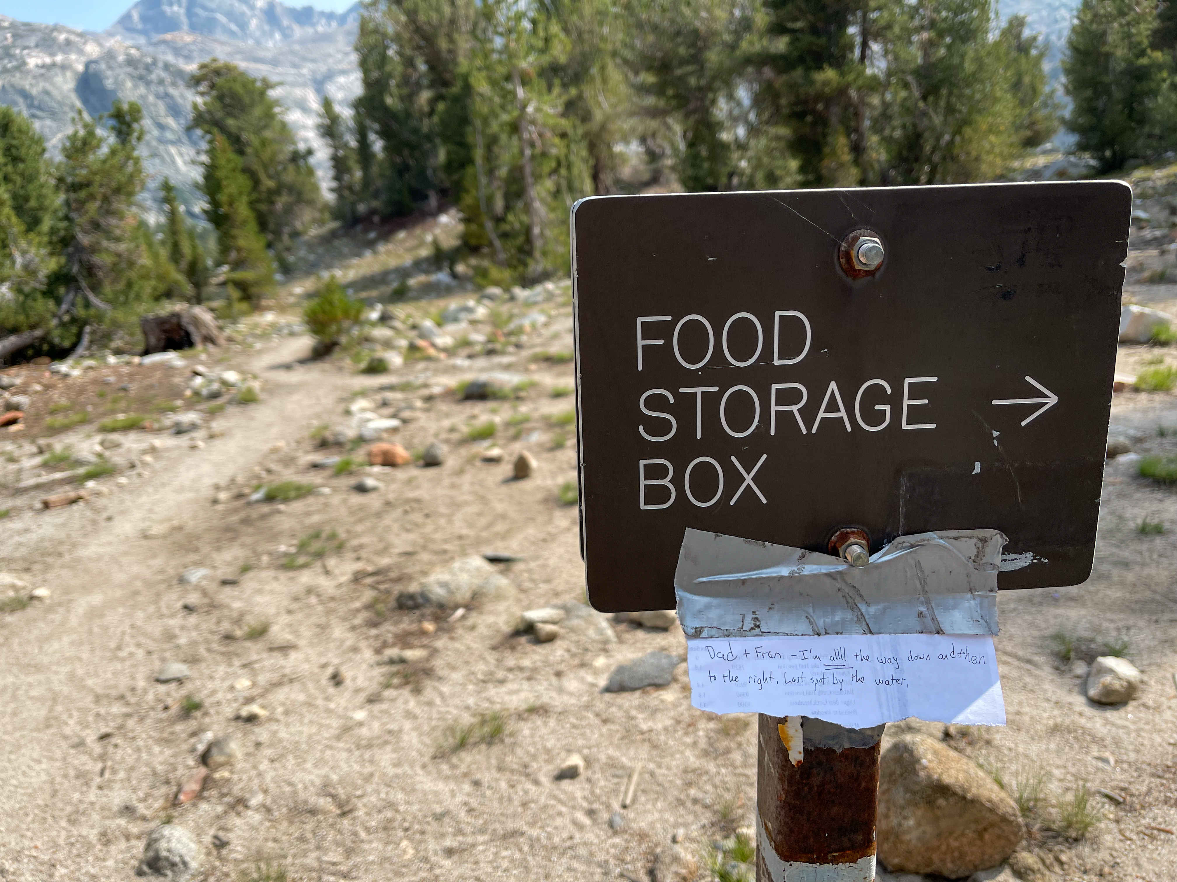
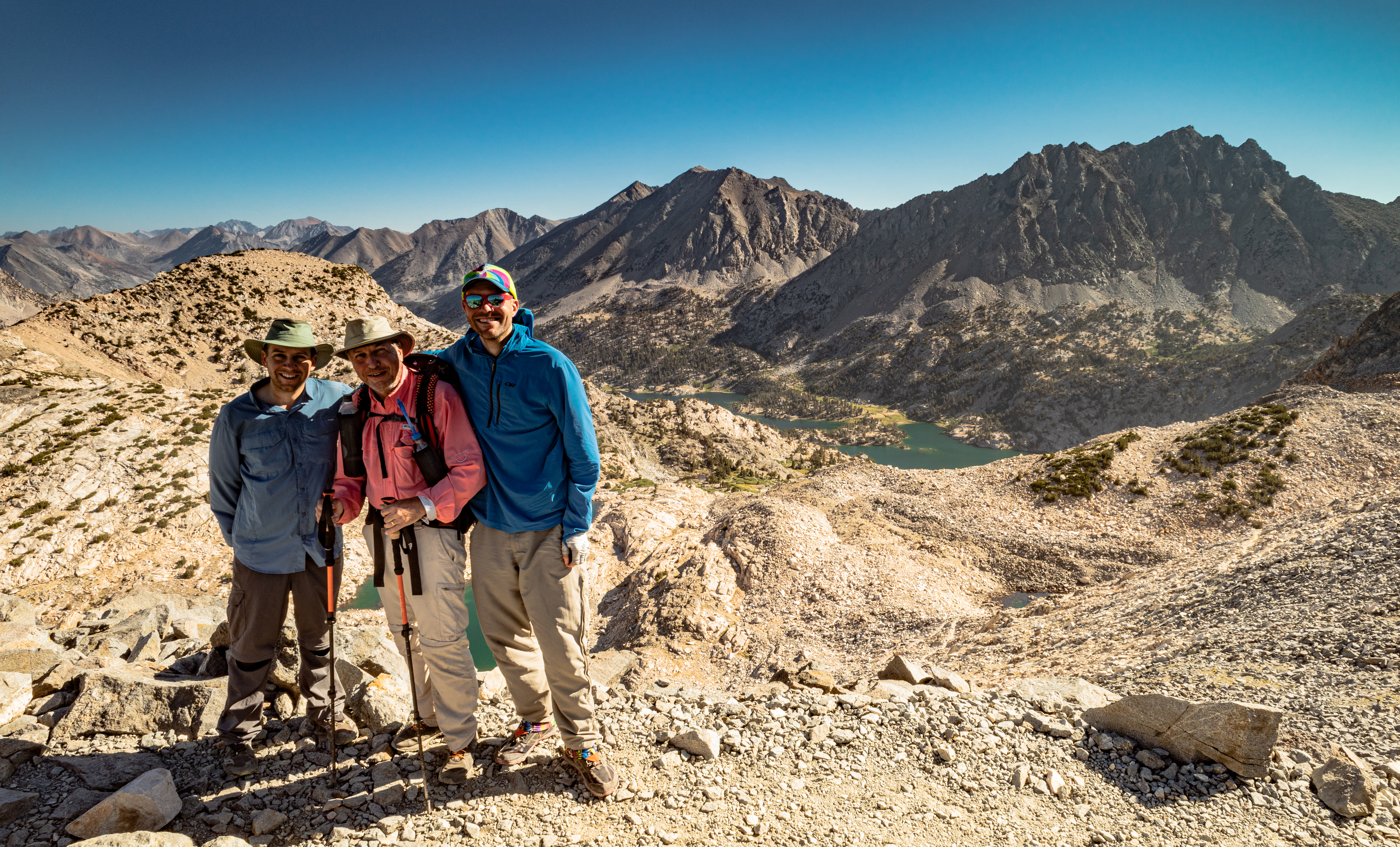
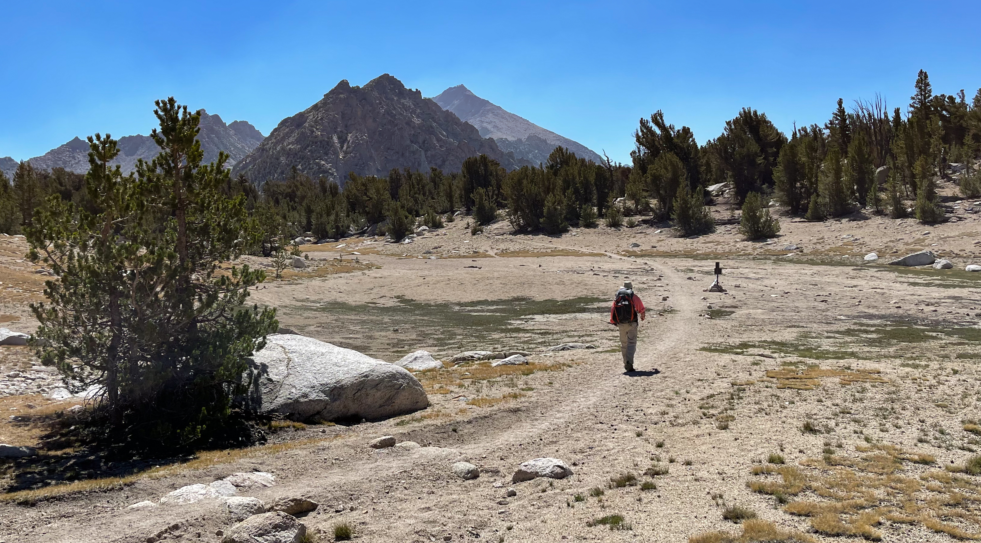
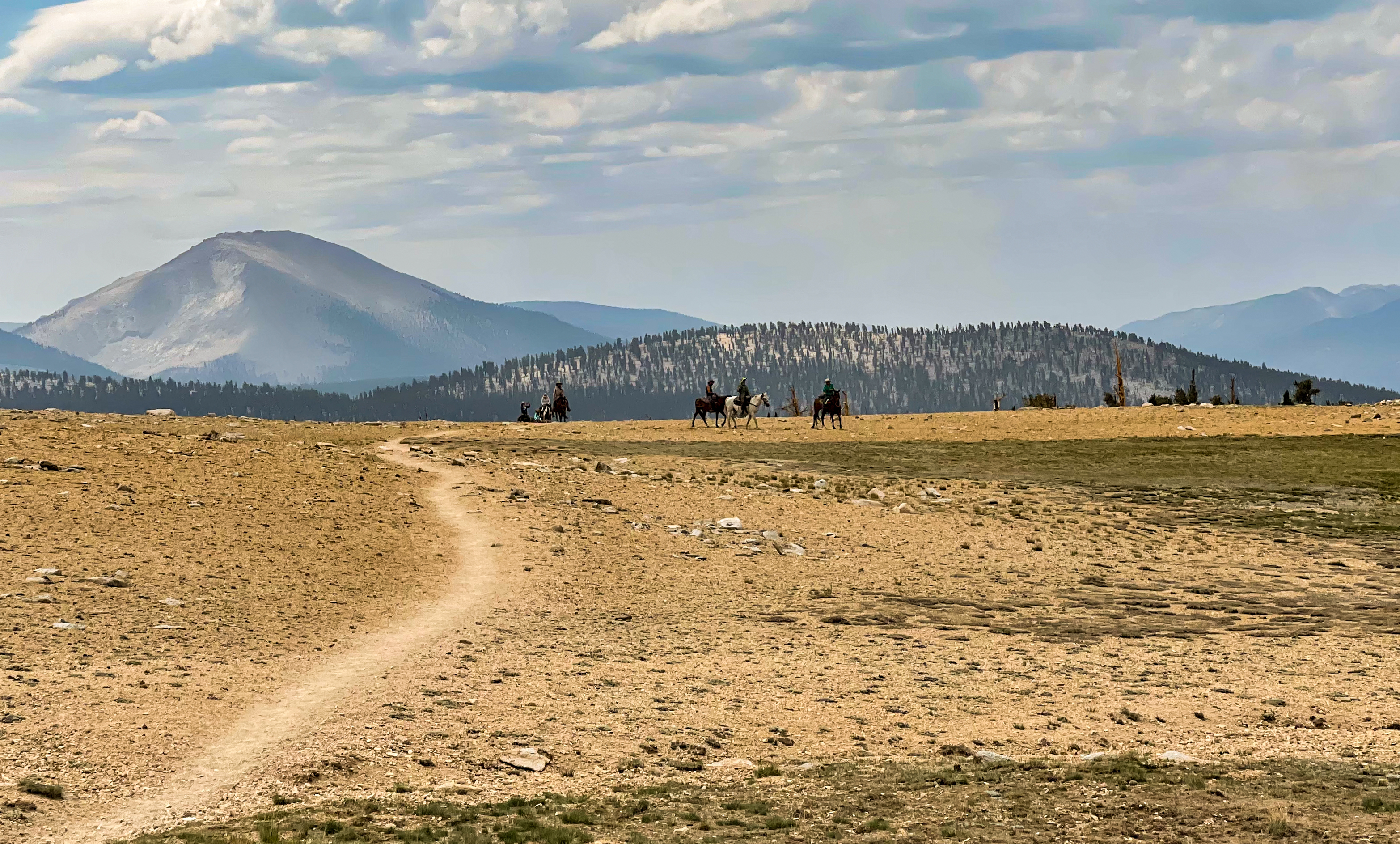
We reached Woods Creek around noon and took a break in the shade after the crossing the Woods Creek Suspension Bridge – it was more wobbly than I expected! Our goal was to make it to the Rae Lakes, which we knew was one of the most popular areas along the JMT. Hoping to snag a nice camp site, I set off without my dad and brother to try to make some quick miles.
When I reached the Rae Lakes Basin and saw Fin Dome stand out above the meadow, it was immediately obvious why it is such a popular area.
-
Rae Lakes Basin
Due to its popularity, bears are attracted to the food that is improperly stored by hikers. A hand-written note was posted by the Rae Lakes Ranger with a Bear Activity Notice:

“Problem hikers” have taught intelligent bears how to obtain human food. Problem hikers and intelligent bears can be found throughout the park, but are currently a major issue in the Kearsarge Lakes, Kearsarge/JMT junction, Bullfrog Lake, Charlotte Creek, Charlotte Lake, Vidette and Junction Meadows area. In the last two weeks there have been several instances where bears have obtained improperly stored food or trash. Once a bear obtains human food (garbage, toiletries, or any scented item) the bear will never unlearn this behavior. Mother bears teach their cubs and a whole generation of bears may need to be destroyed as a result of a Problem Hiker’s behavior.
Hanging food is NOT allowed here, it doesn’t work. Bears can climb trees extremely well. If you have overflow scented items that will not fit in your bear canister, you must stay at and use a food storage locker. Backpacks with unstirred snacks, trash, or other scented items must never be left unattended. Open canisters must not be further than arms reach away. This is NOT an exaggeration! Problem Hikers that are not storing food properly will be cited.
If a bear obtains your food, haze the bear by yelling at it as loudly as you can. Throw small pebbles in the bear’s direction, do not aim for and injure the bear. Never try to take your food back from a bear. If you observe a bear acting strangely or obtaining human food, please report incidents to a ranger. Don’t be responsive;e for the destruction of an innocent bear, we are guests in their home, be a considerate visitor, don’t be a Problem Hiker.
Thank you,
NPS
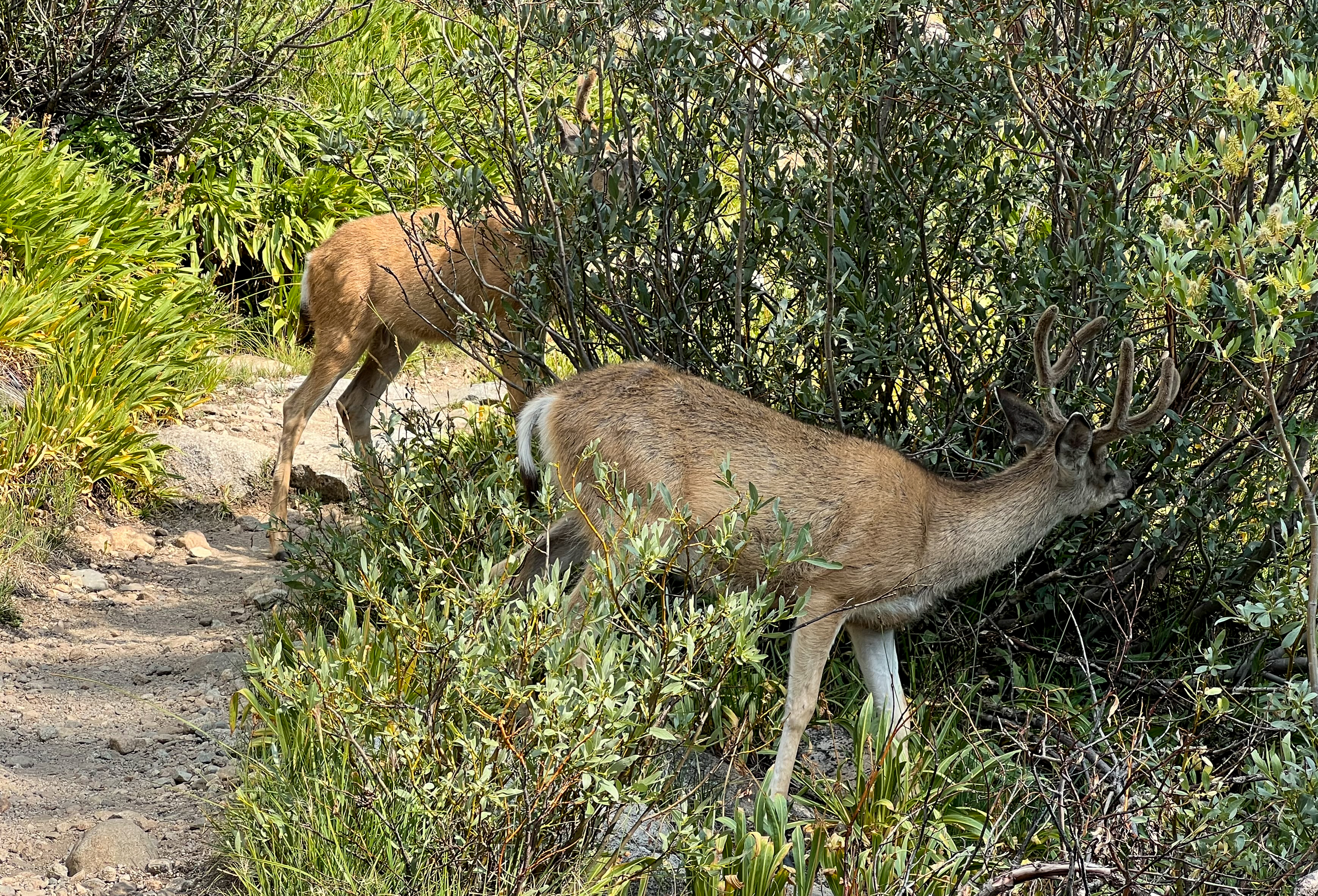
Near the ranger station, my dad and brother came across a group of deer in the middle of the trail that showed no fear and would not move out of the way.

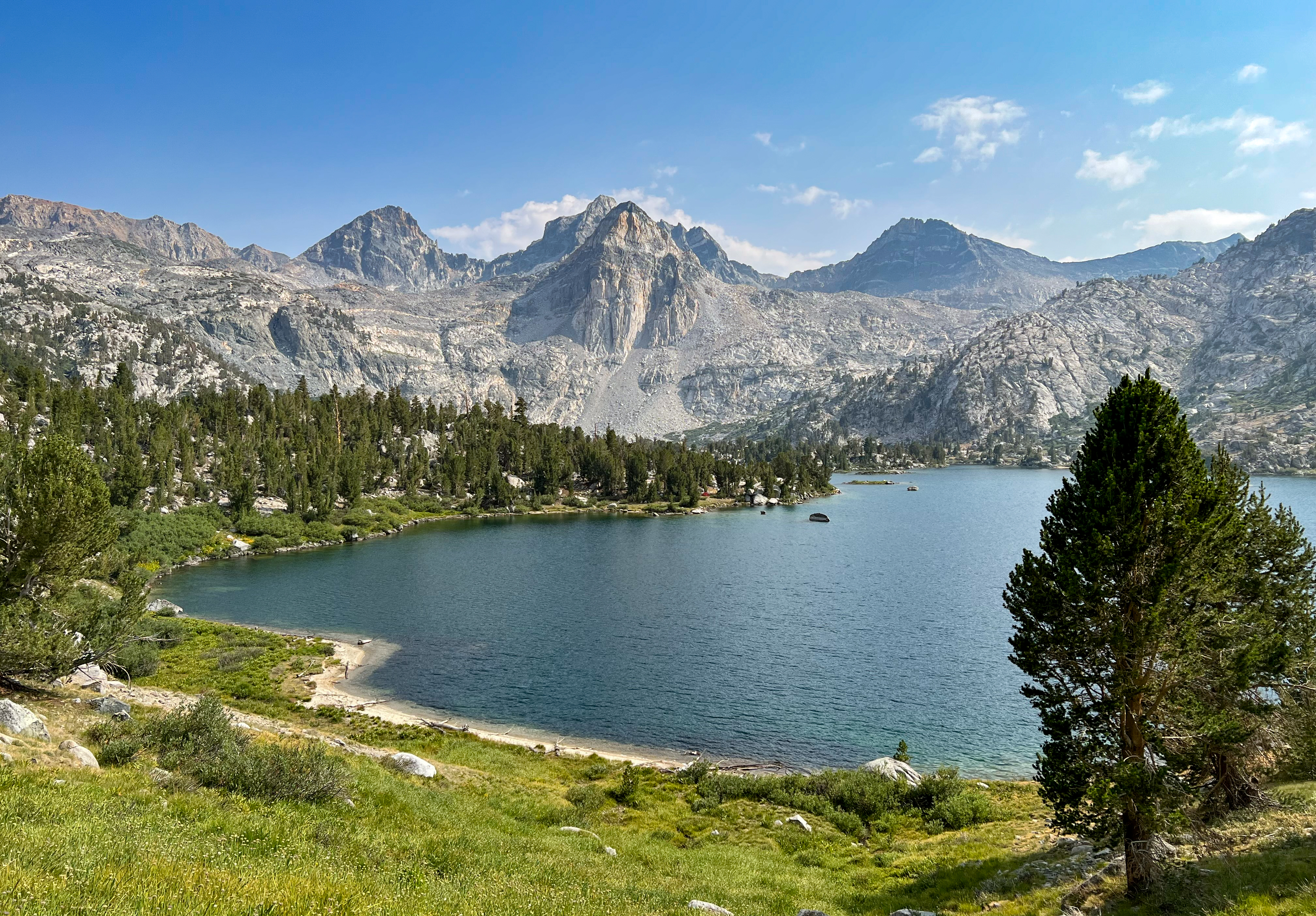
I arrived at a junction with a trail that heads down to Middle Rae Lake around 3pm. After finding a camp site, I came back to the junction and posted a note so my brother and dad could find me (they never saw the note).
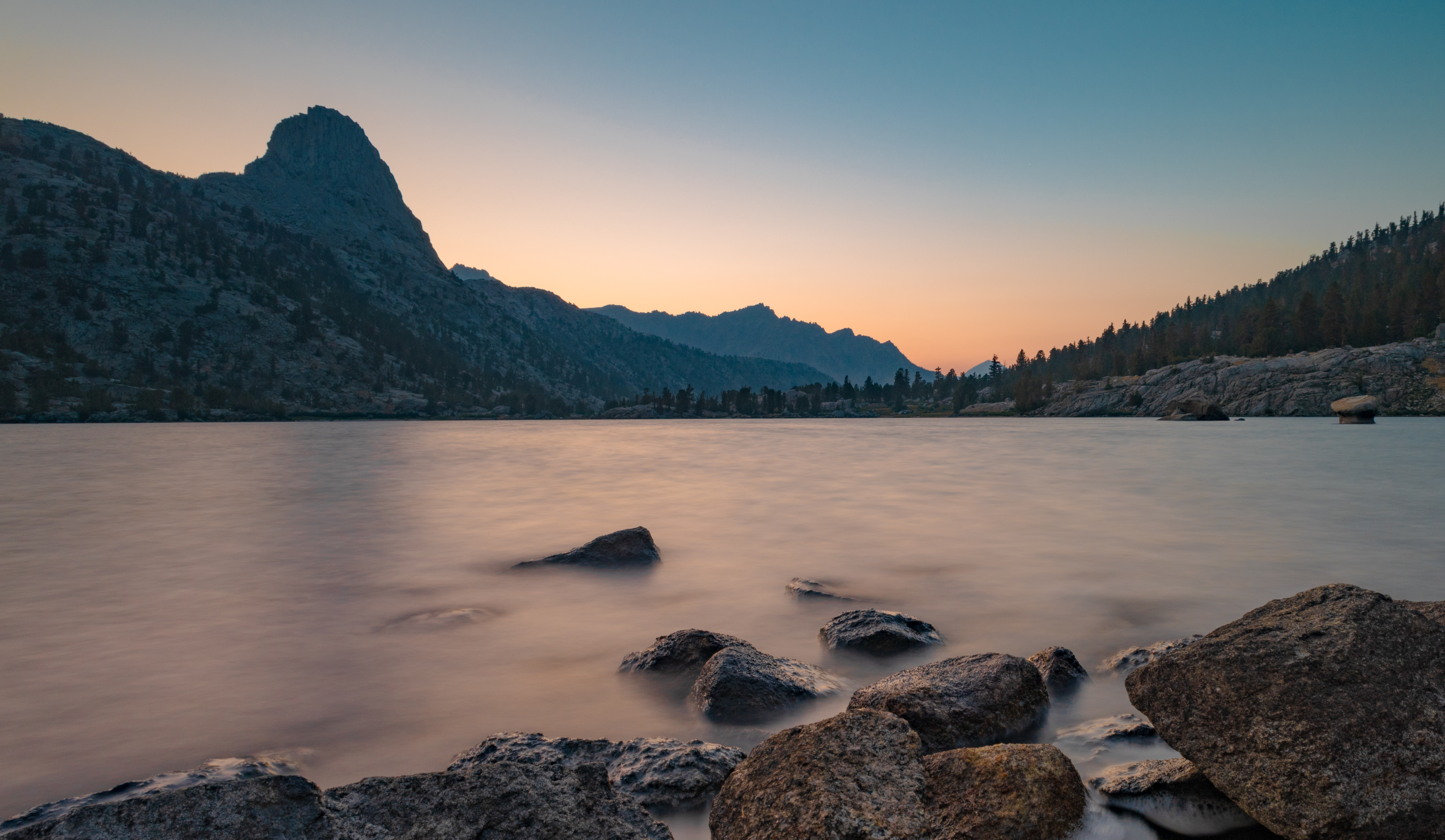
There were probably dozens of campsites throughout the area and I found a great one along the shore of Middle Rae Lake with a view of Fin Dome.
-
Fin Dome at sunset -
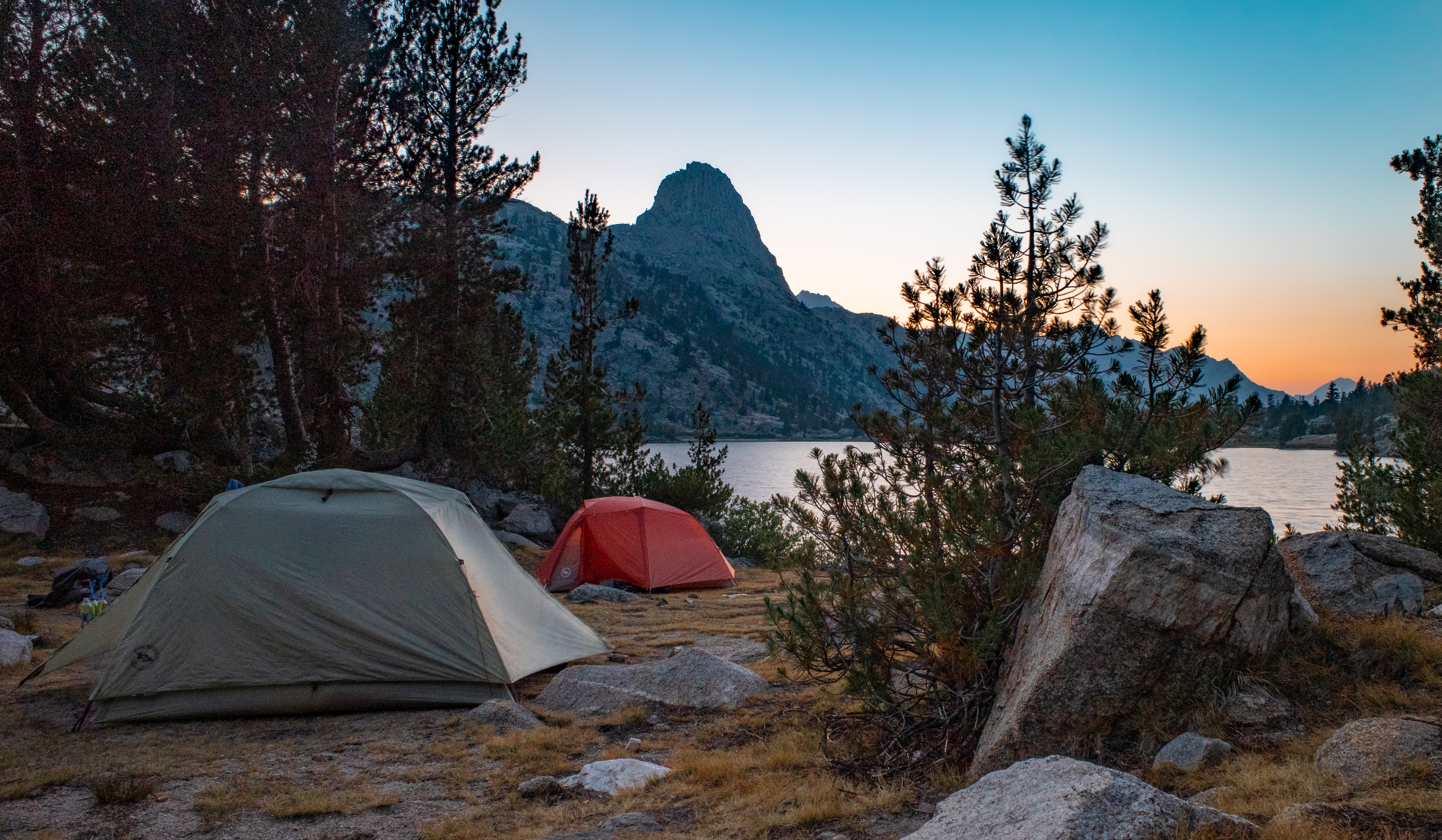
Camp site at Middle Rae Lake -
Fin Dome reflected in Middle Rae Lake at sunrise
Day 3 Journal
Day 3. Welp. We thought today would be relatively easy. We had only about 3,500′ to climb, less than the first two days. We were wrong. It was hard.
We woke up at 5am and started from the small lake north of Lake Marjorie. We quickly climbed 1,000 feet and reached Pinchot Pass – beautiful views in both directions!
Next was an almost 4 mile steep descent until we reached the Woods Creek Suspension Bridge – it’s more wobbly than I expected!
We got to Woods Creek around noon. From here, it was about 6 miles to Rae Lakes. We decided to split up so I could go ahead and snag a camp site at this popular spot. I got there just before 3pm and found a nice site by the lake.
Dad and Fran arrived around 4:30pm. Fran and I dipped in Middle Rae Lake. Cold but nice to be clean.
We had dinner, some whiskey, and got some photos of sunset behind Fin Dome.
The next 4 days are shorter mileage and should be easier. We’ll see…
journal excerpt 8-9-21
Day 4 – Rae Lakes to Center Basin
Start: Rae Lakes
End: Center Basin
Distance: 12.9 miles
Elevation gain: +4,627′

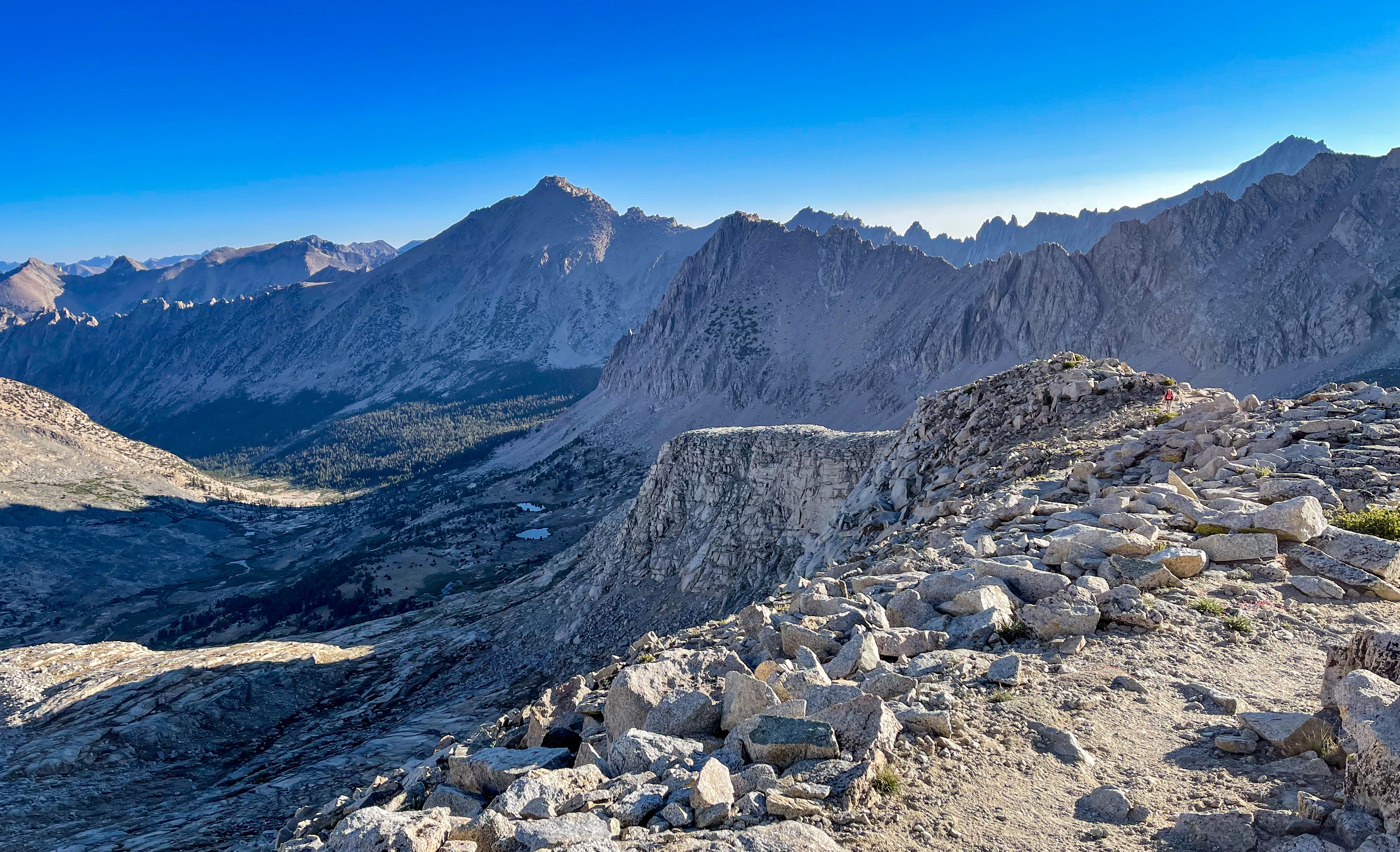
We started the day around 6:30am with a steady climb up towards Glen Pass. Along the way we saw a pika with a meal in his mouth.

Then we began the climb up Glen Pass. It was tough.
-
Climbing Glen Pass -
View north from Glen Pass -

View north from Glen Pass
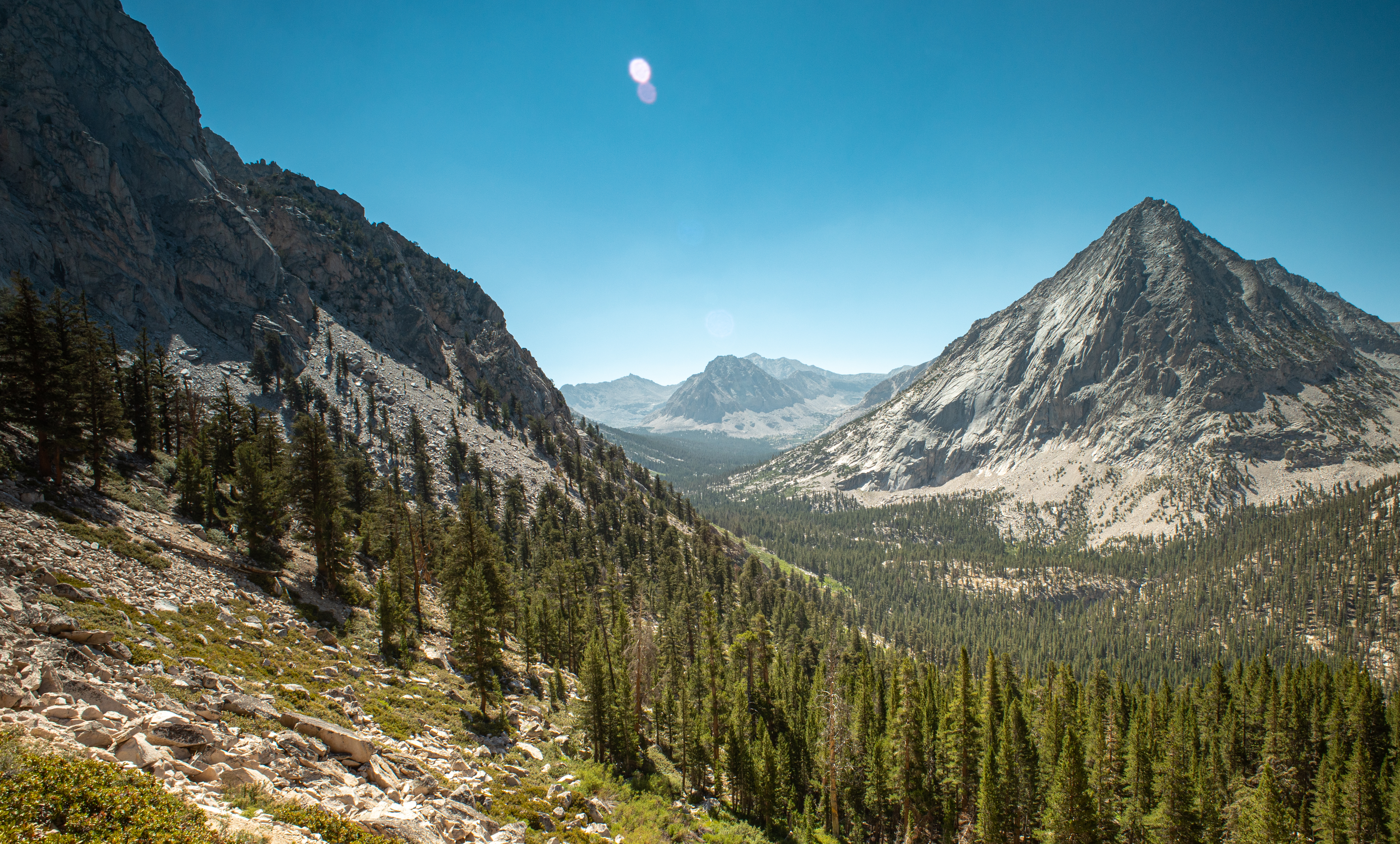
From Glen Pass, the descent is along switchbacks towards a lake.

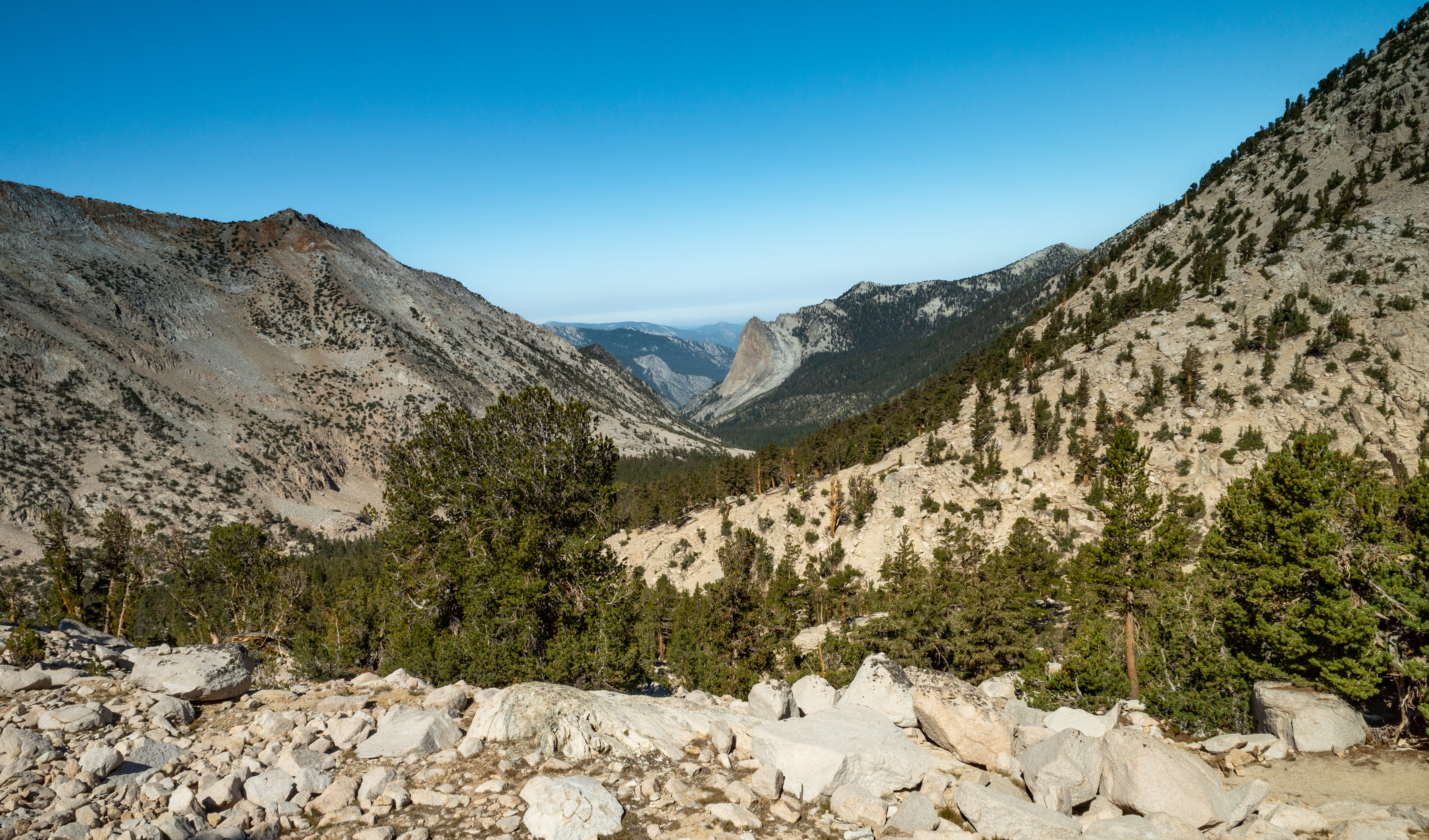
Beyond, it was a long descent past Charlotte Lake and towards Vidette Meadow.
-
On the trail near Charlotte Lakes -
Charlotte Lake Junction -
Near Charlotte Lakes
We passed Vidette Meadow and began a steady climb towards our destination for the day, Center Basin.
-
-

-
East Vidette Peak -
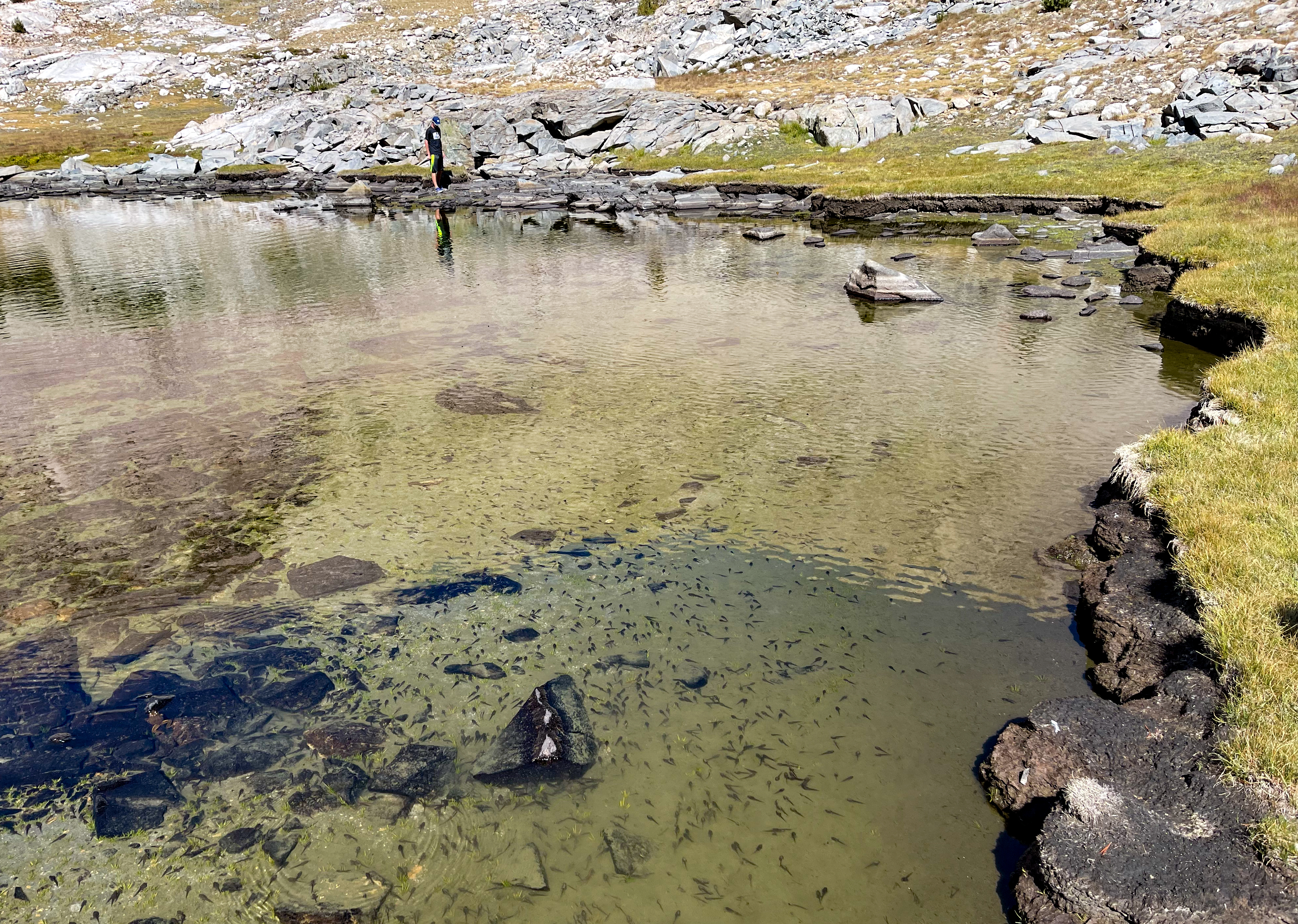
Finally, we reached our destination at Center Basin. Near our camp site was a small muddy pond that was absolutely full of tadpoles and frogs in every stage of evolution.
-
Lake near Center Basin camp site -
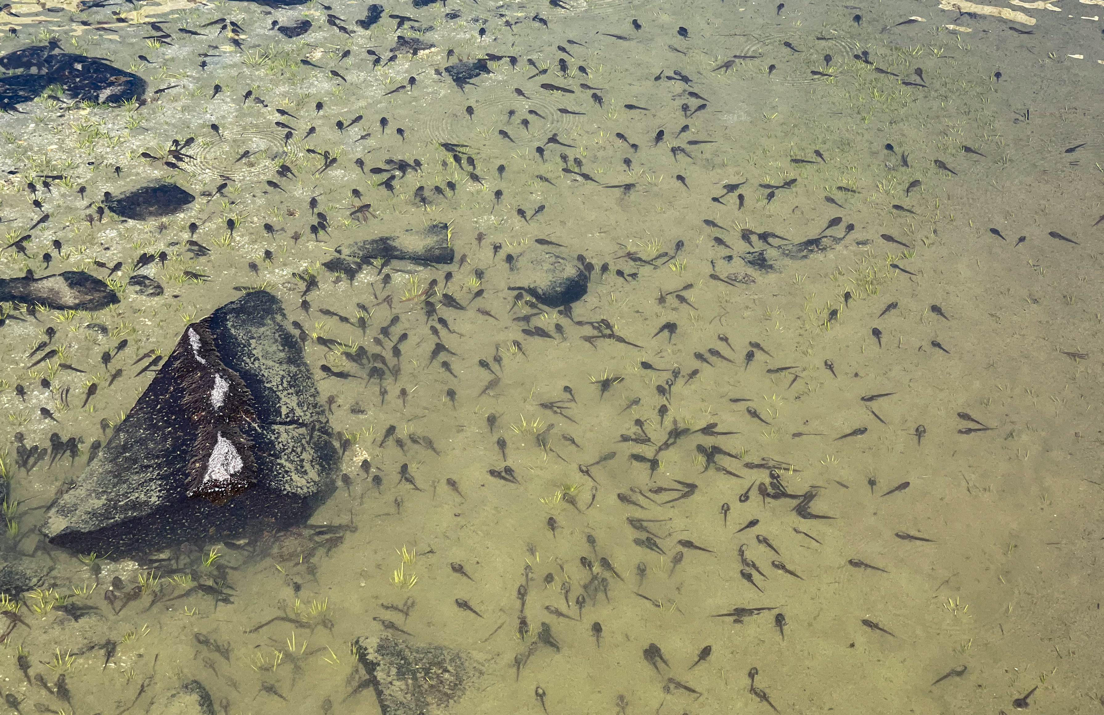
Tadpoles in lake near camp site -
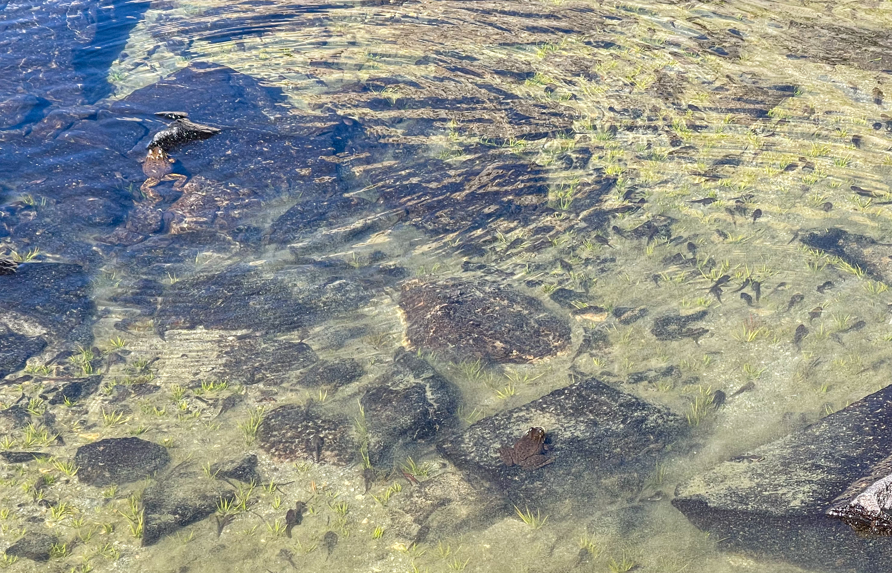
Frogs and tadpoles -
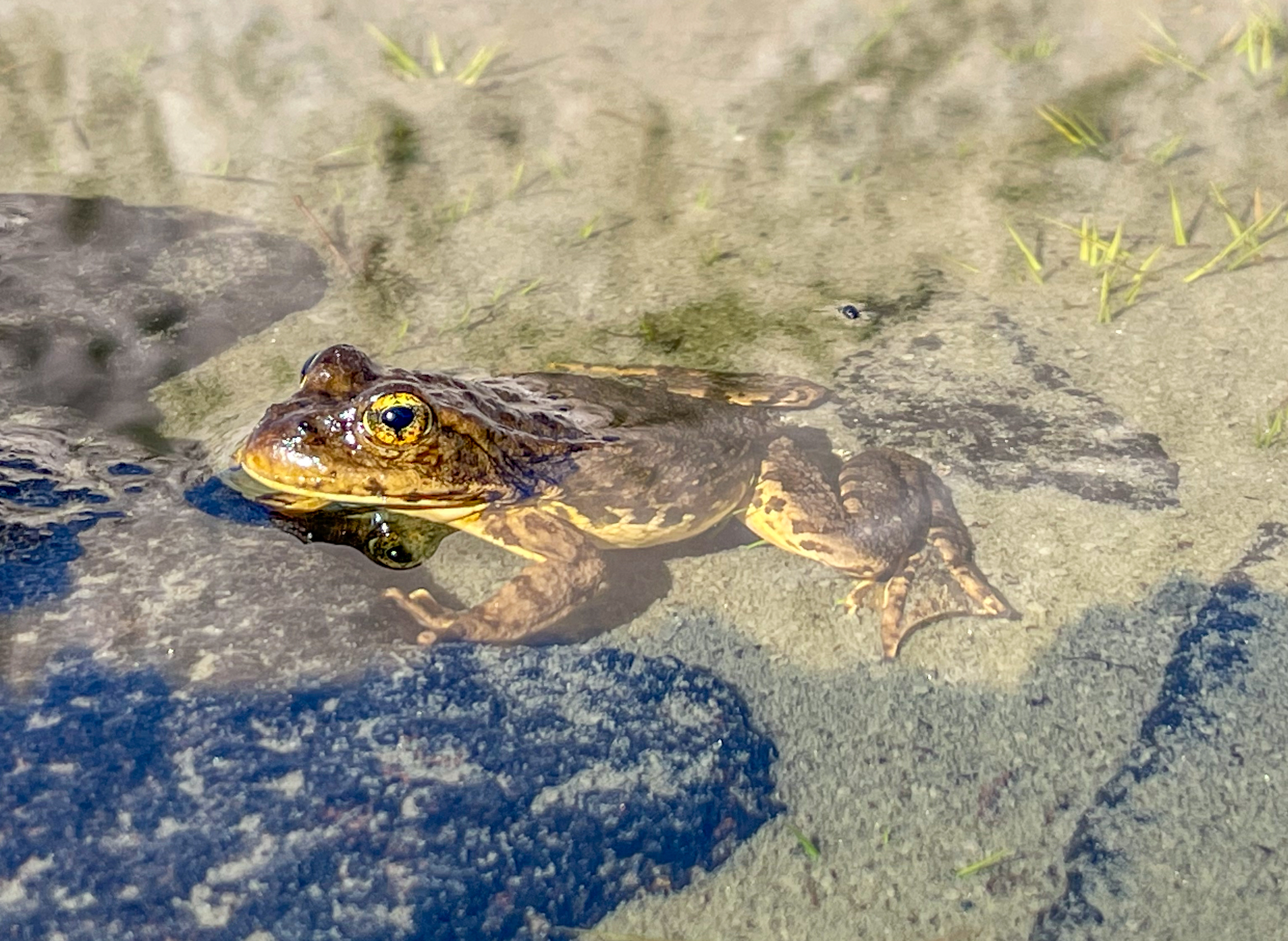
Frog
Our camp sites were two sandy spots among rocky slabs, exposed on a dusty, windy ridge with no shade, but with wonderful views of the canyon.
-
Center Basin camp site -
Center Basin -
Day 4 Journal
Day 4. Today wasn’t easy, but it was probably the easiest day so far. We got up around 5am and hit the trail around 6:30am. We climbed Glen Pass, and then it was a long descent to Vidette Meadow. Dad fell once and nearly tumbled over the edge of the trail. He only had some small cuts on his finger and a scratch on his elbow fortunately.
After Vidette Meadow it was a 5 mile, 1700 ft climb to our camp site in Center Basin. I went ahead and gave dad and Fran bad directions so they didn’t find me. I had to retrace my steps a bit and eventually found them.
Our tent site is exposed. It’s hot, dusty, and the sun hits hard, but it’s a great view of the canyon.
We washed our clothes in a little pond full of tadpoles and frogs. We had whiskey, dinner, and debated how far to go tomorrow. The original plan was to go to Bighorn Plateau, but dad wants to go further to make day 6 a little easier. We’ll see!
journal excerpt 8-10-21
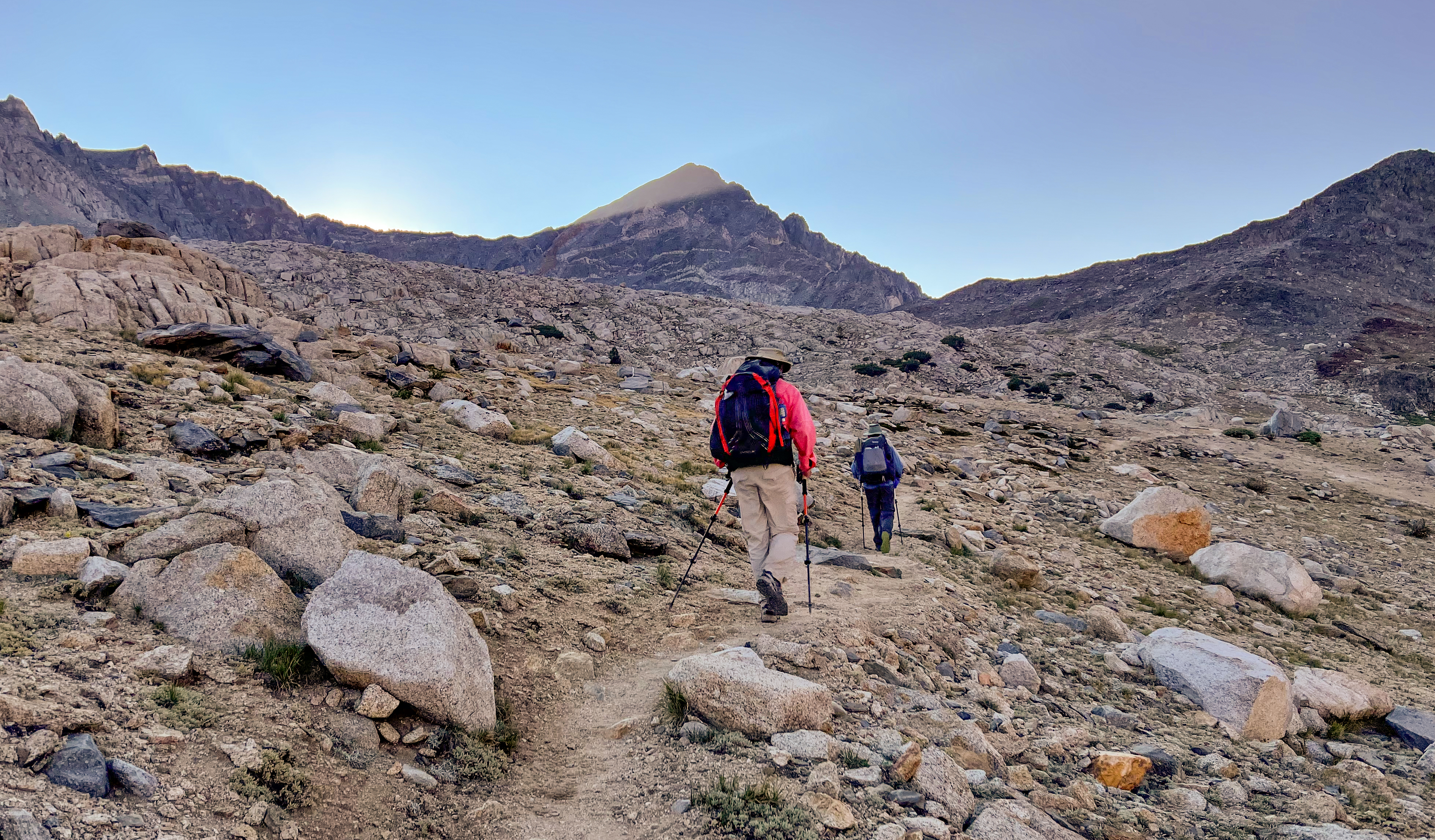
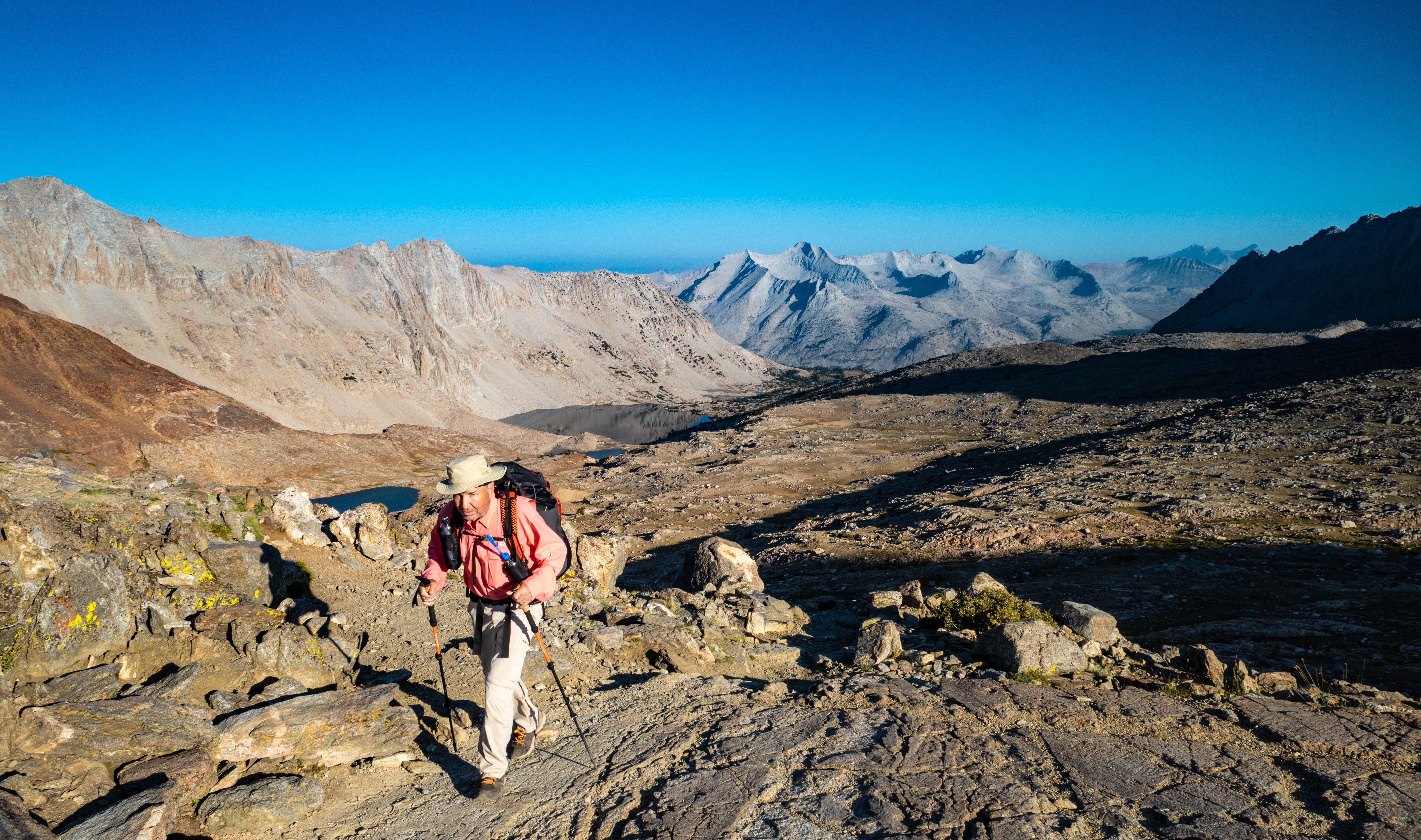
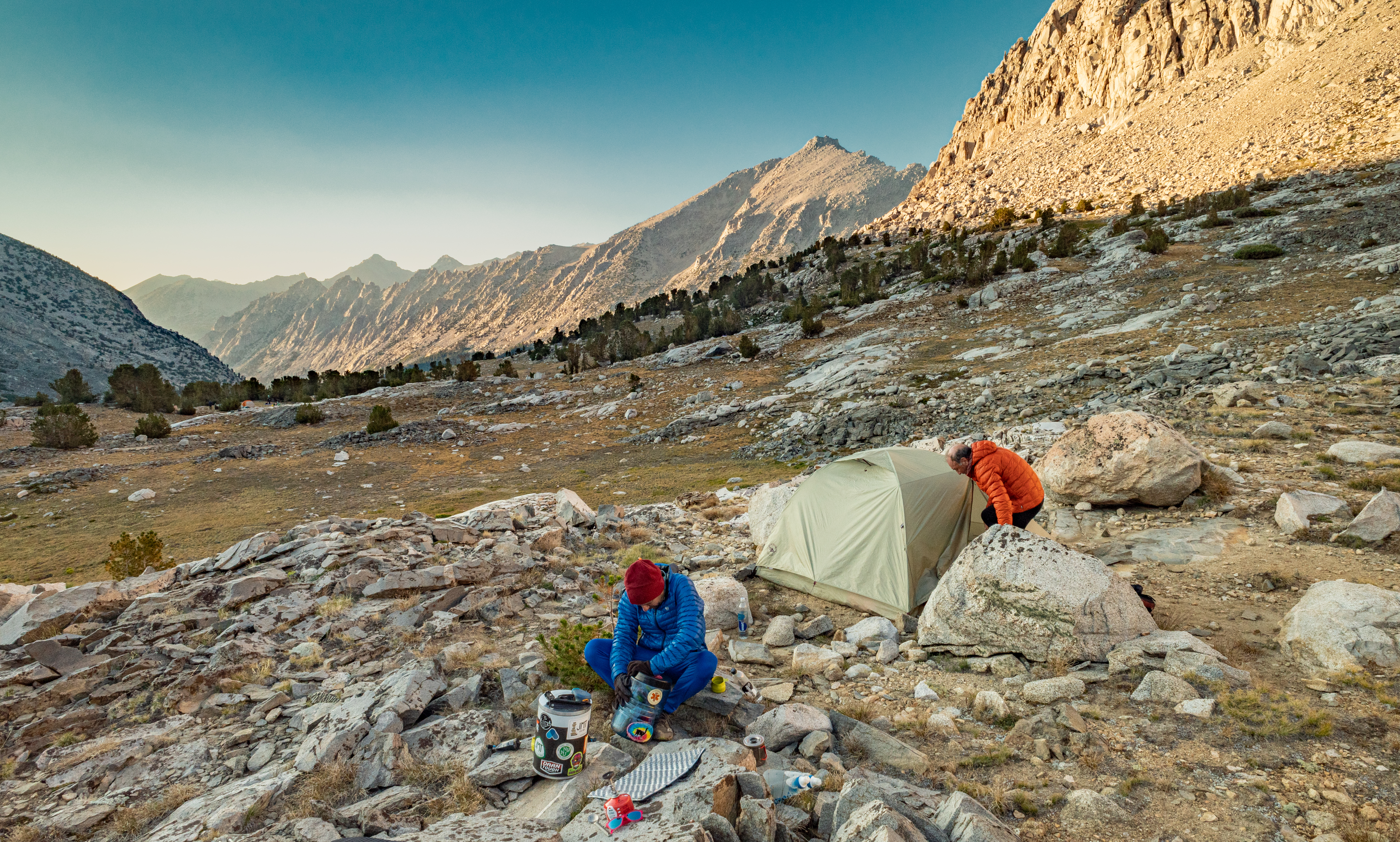
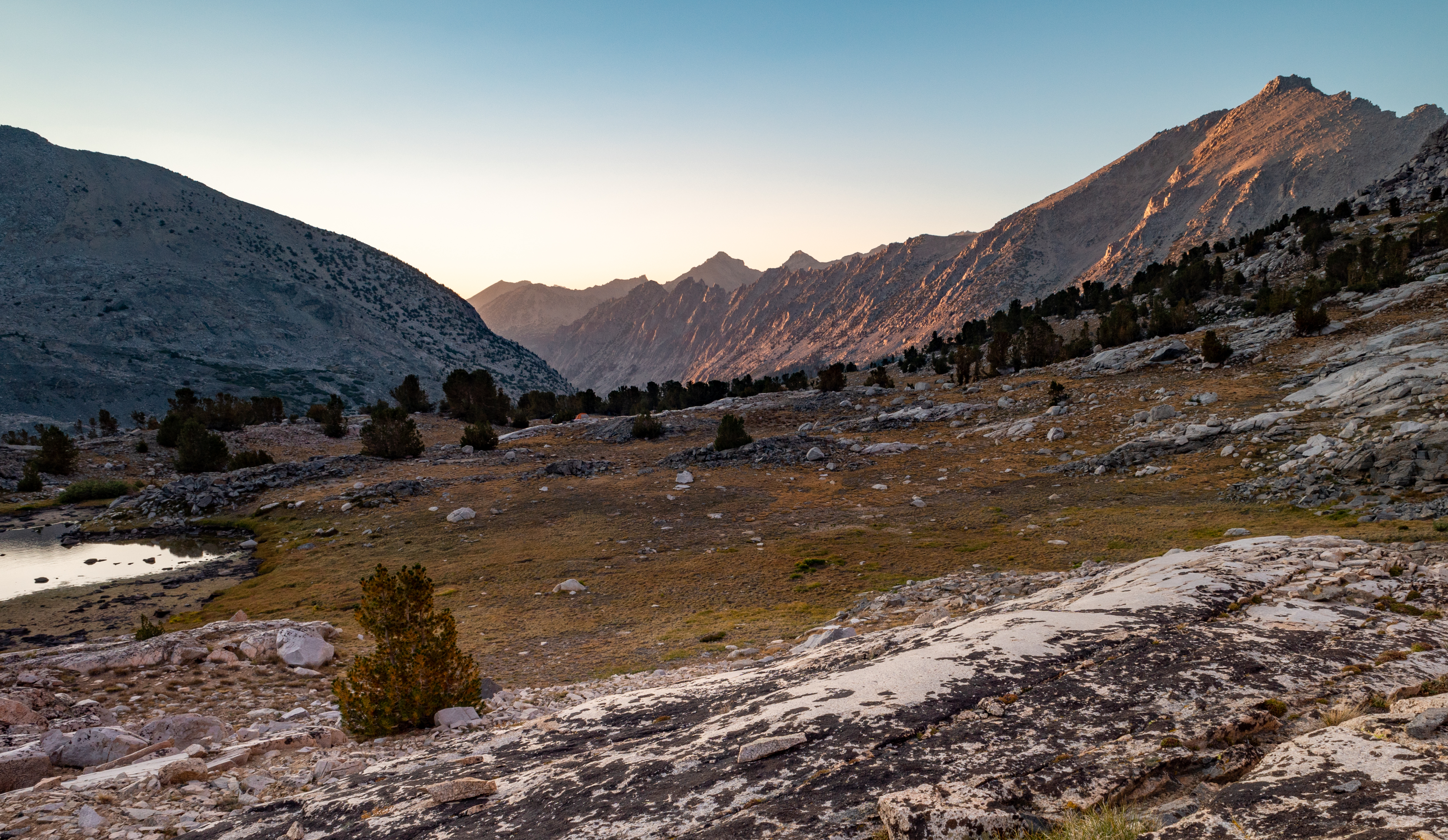
Day 5 – Center Basin to Wallace Creek
Start: Center Basin
End: Wallace Creek
Distance: 12.0 miles
Elevation gain: +2,678′
We woke up and got an early start today. The alpenglow lit up the mountain tops all around us.

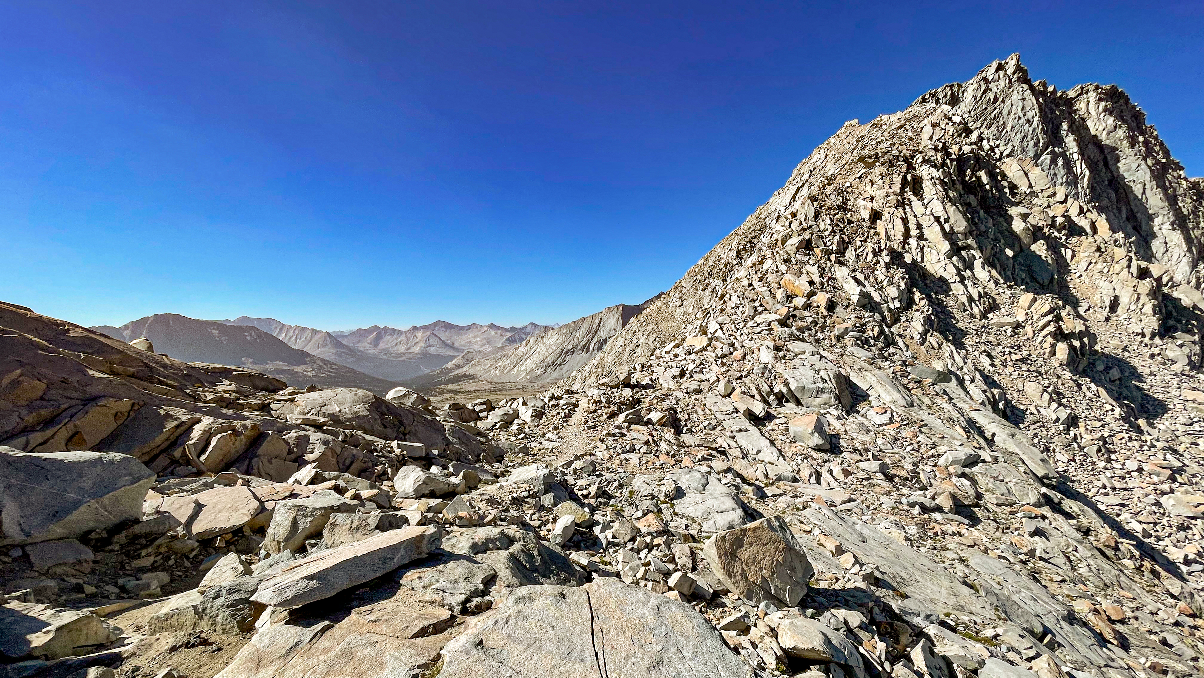
We began the climb up Forester Pass, a really nicely graded climb from the north side.

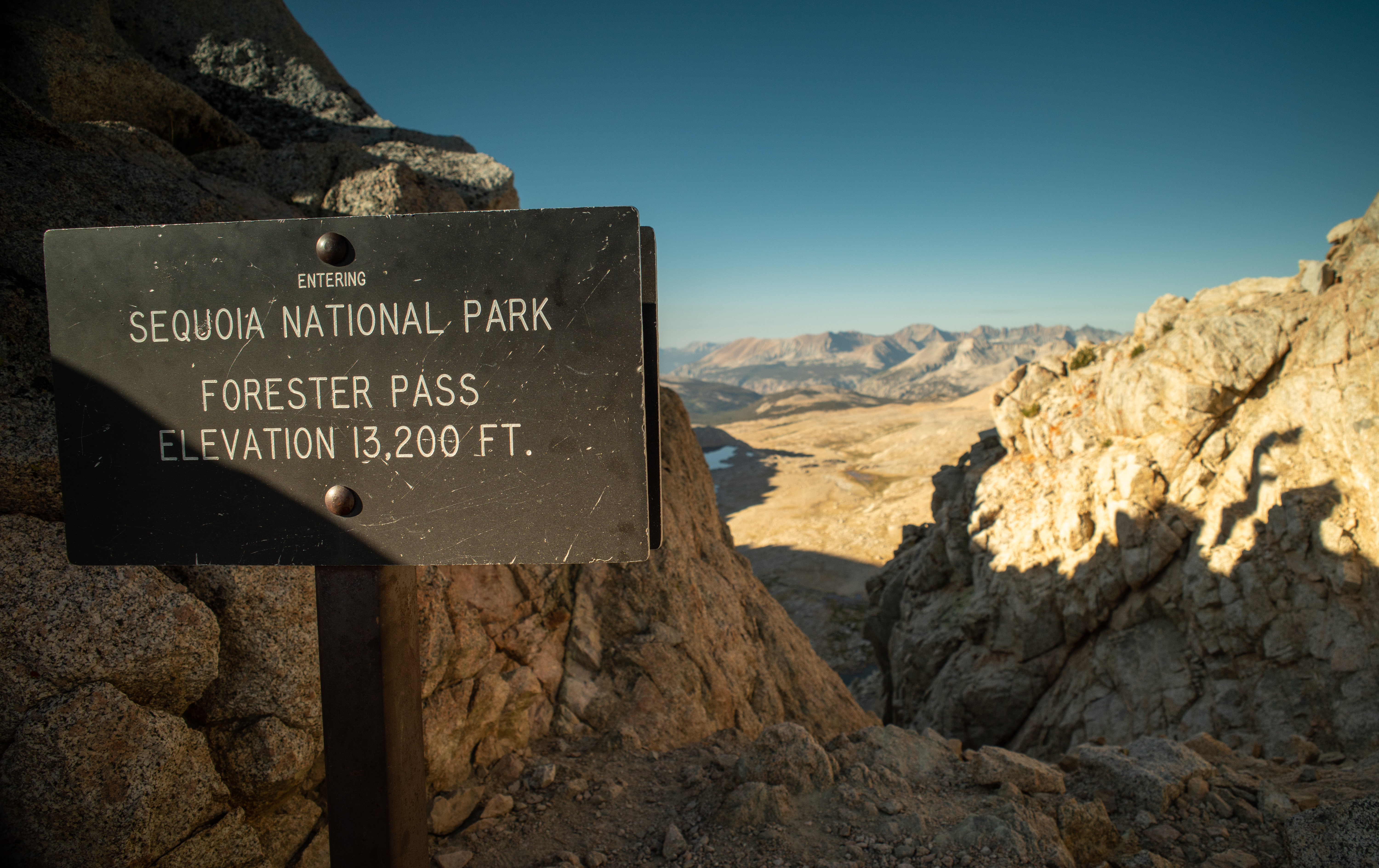
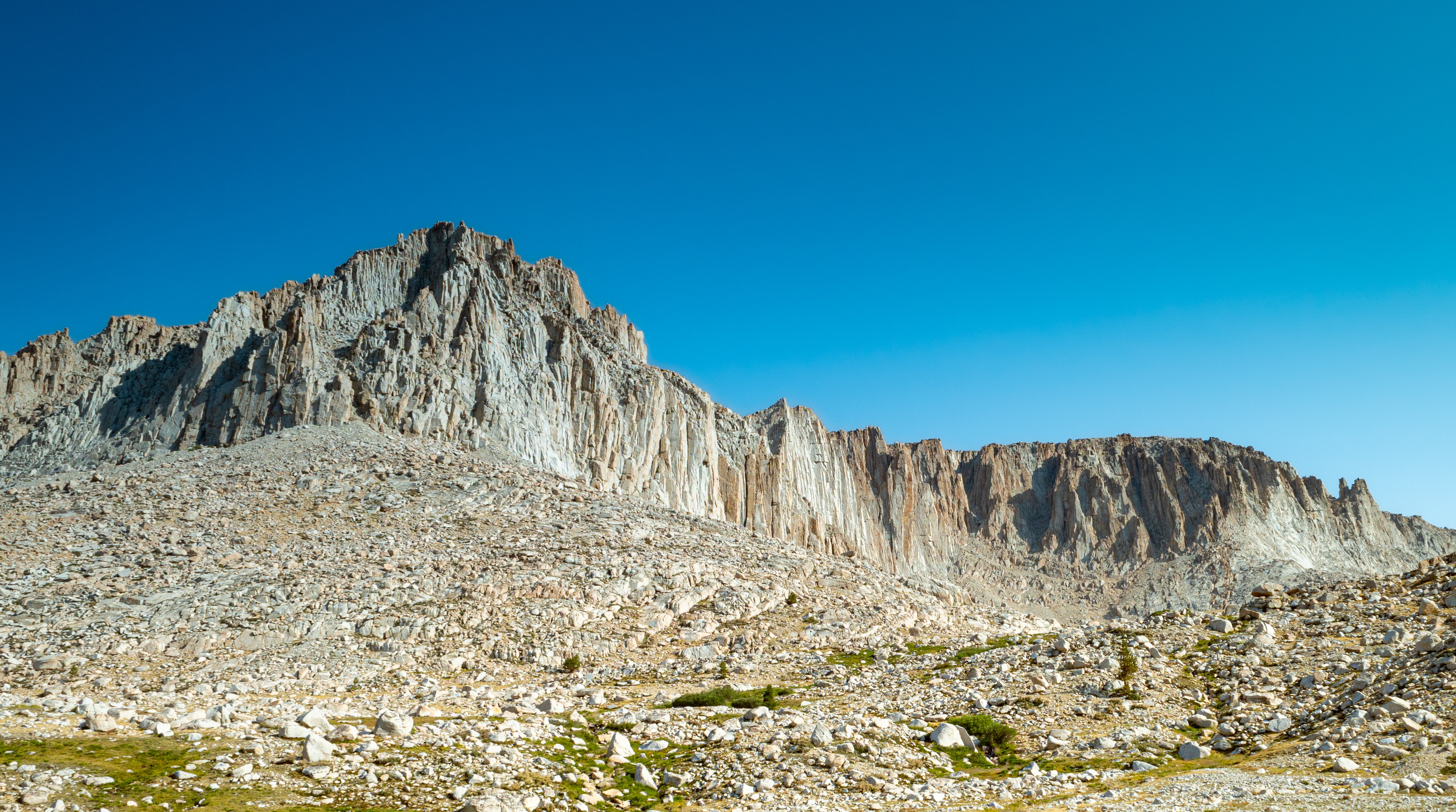
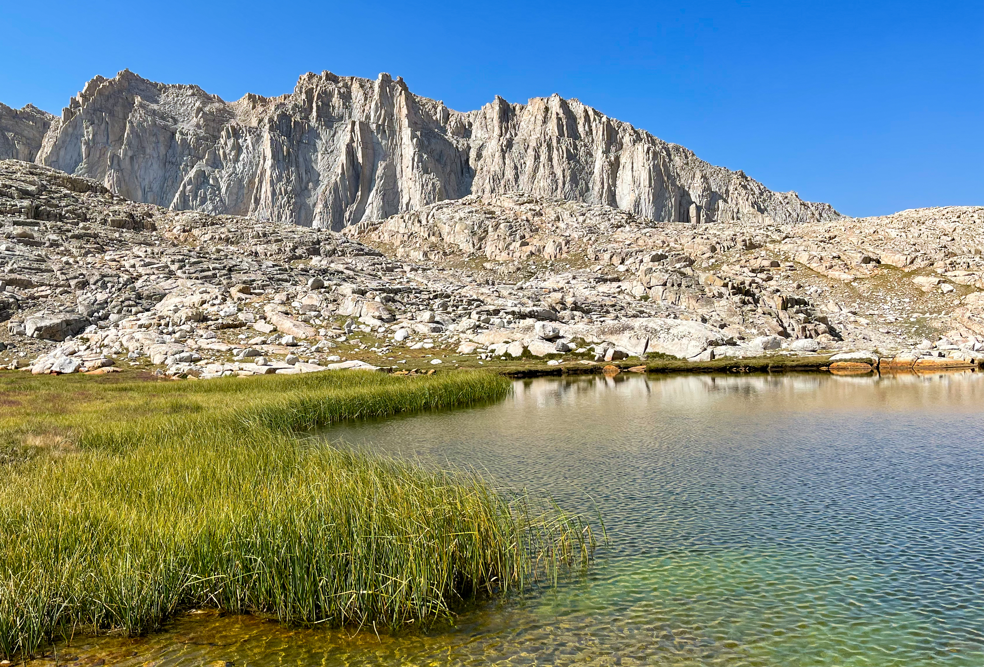
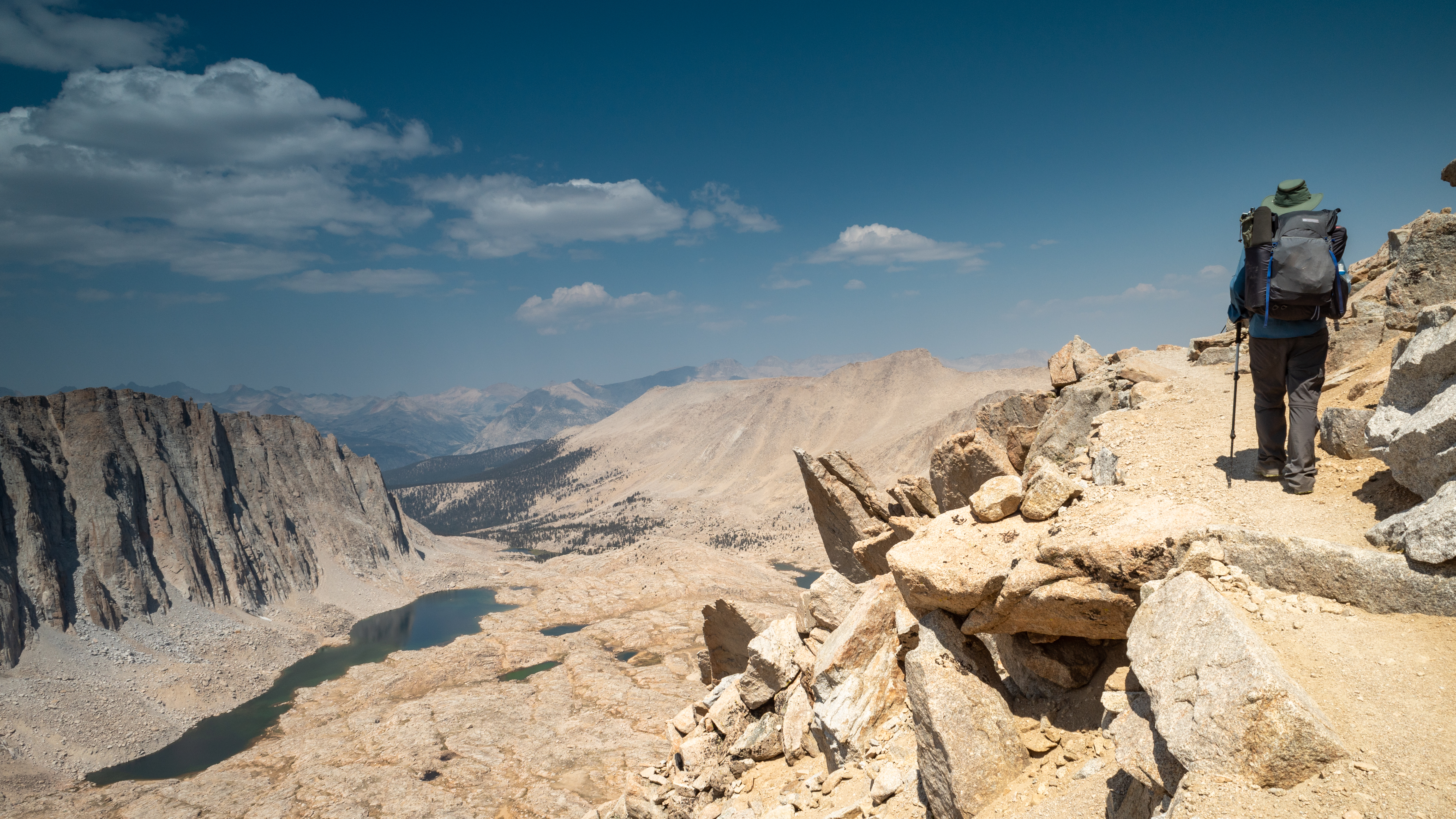
Finally we reached Forester Pass at 13,200 feet – the dividing point between Kings Canyon National Park and Sequoia National Park.
-
Forester Pass -
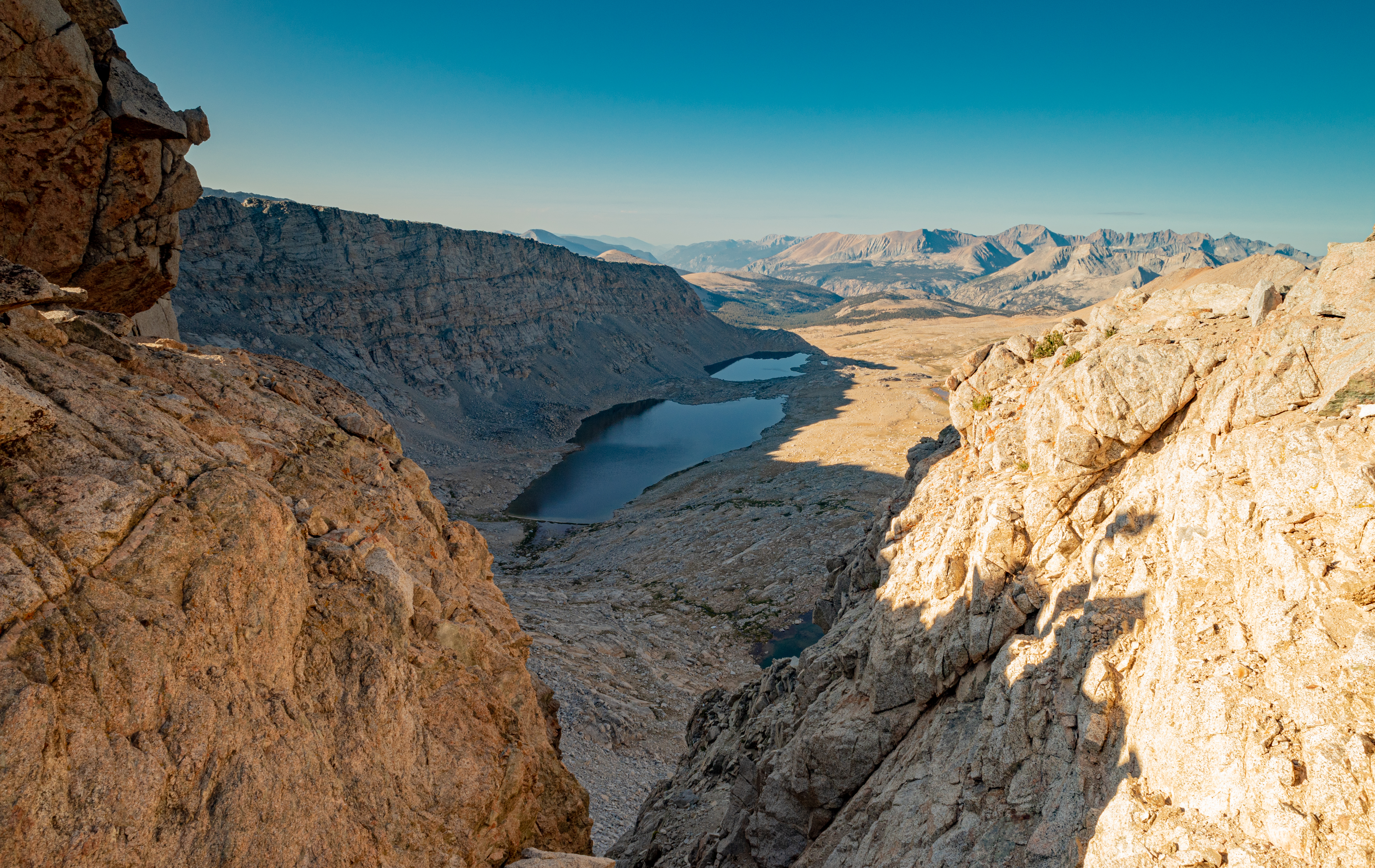
View south from Forester Pass -
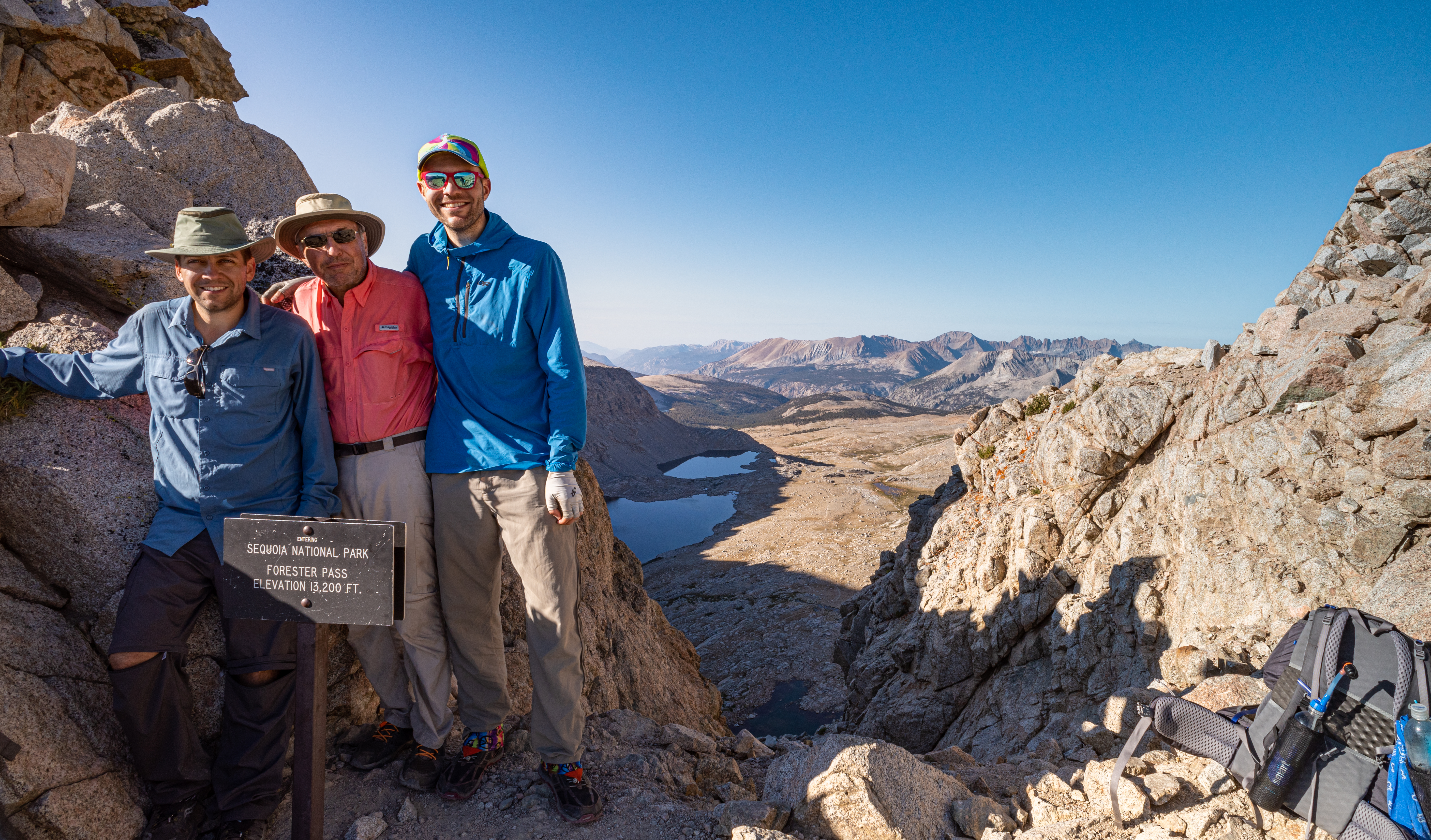
Forester Pass
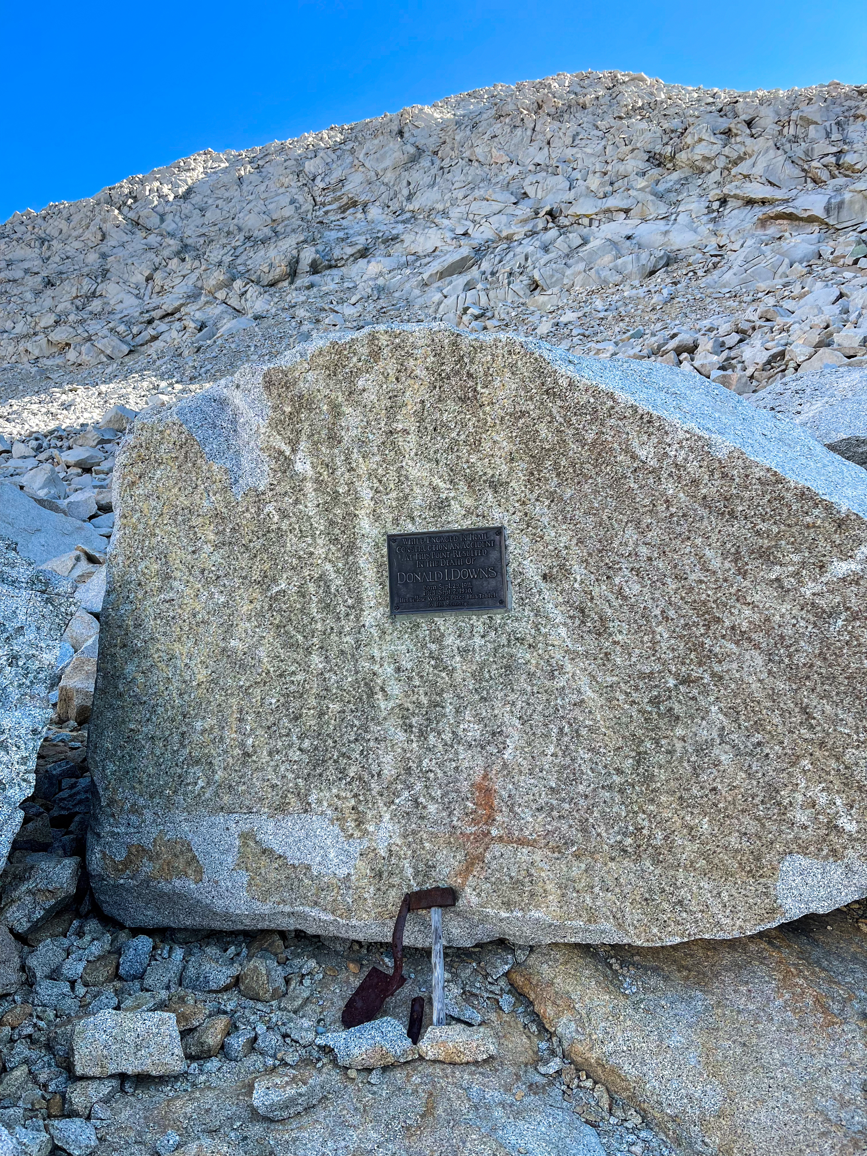
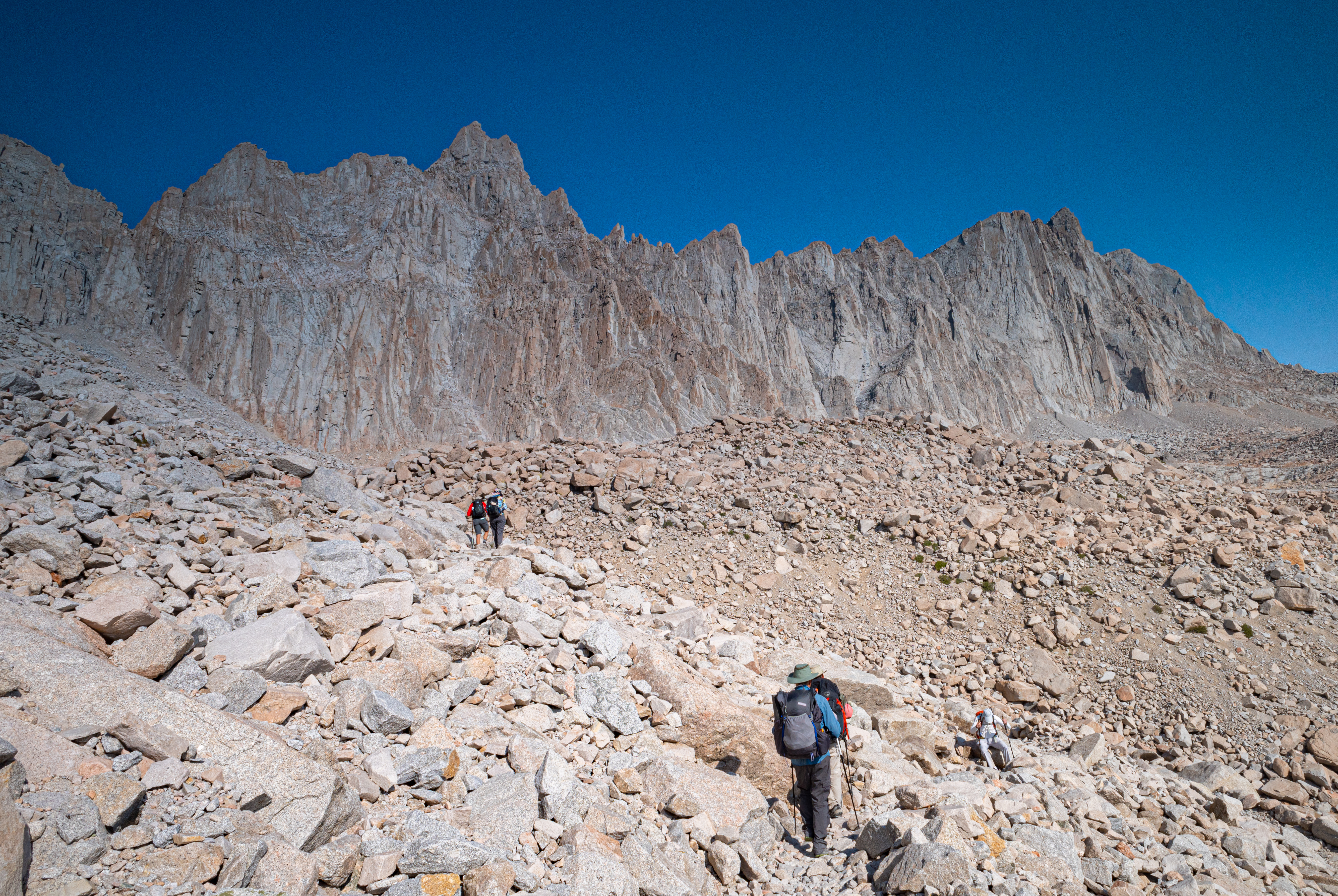
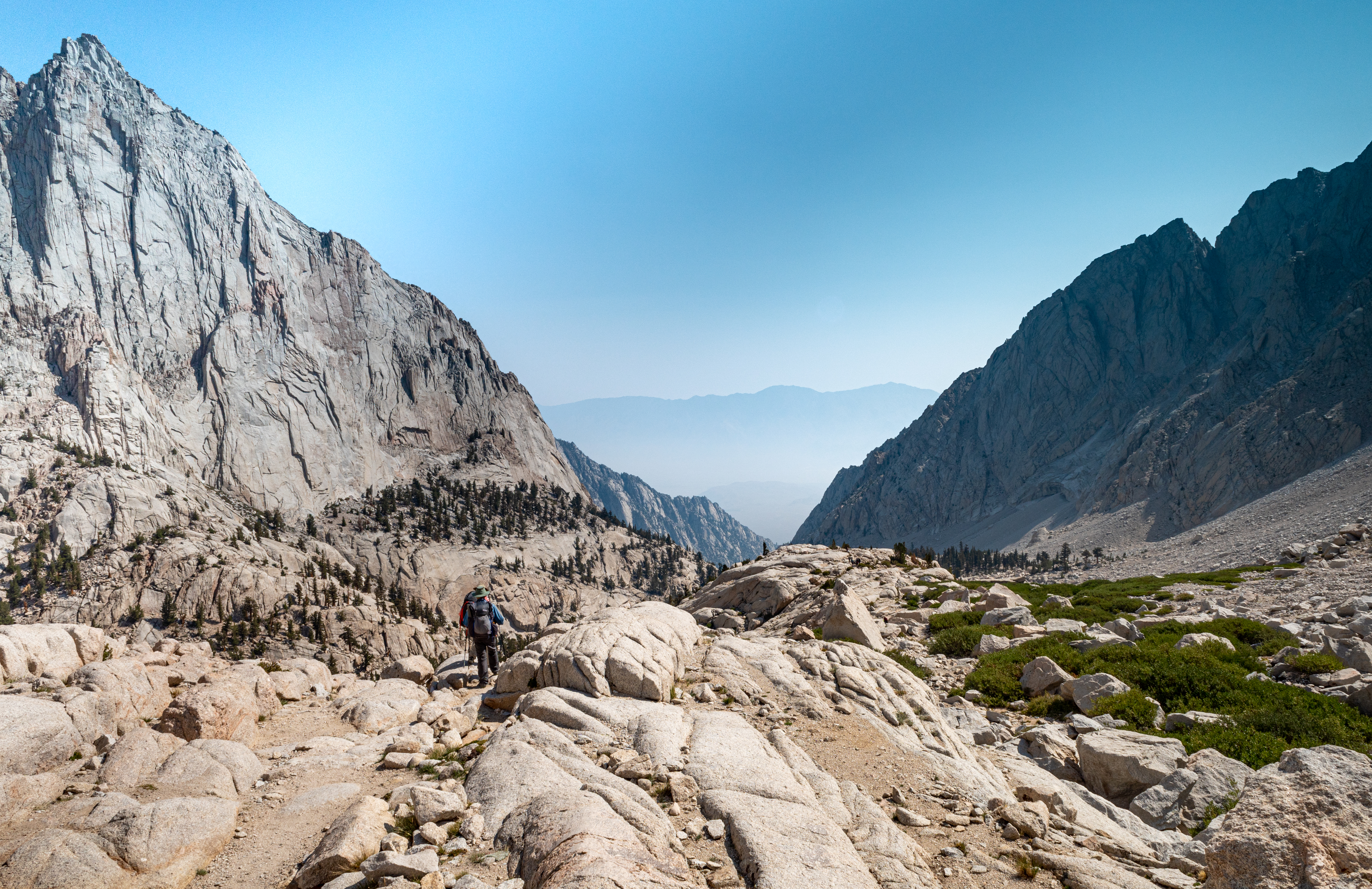
We began the descent of Forester – much more difficult than the ascent with large steps that were a challenge for the knees. We passed the memorial to Donald Downs, a worker killed during the construction of this amazing trail chiseled into the steep mountainside.
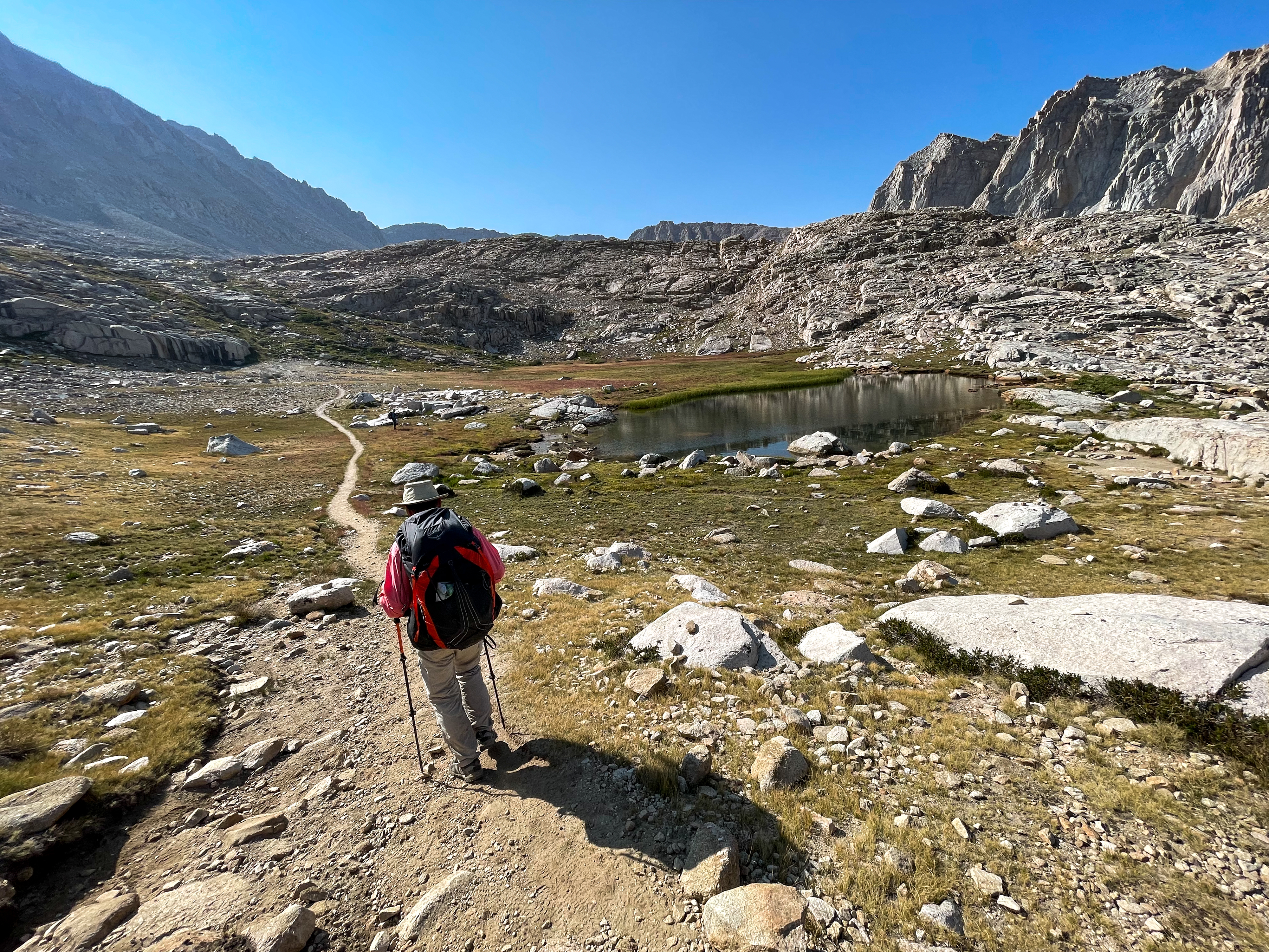
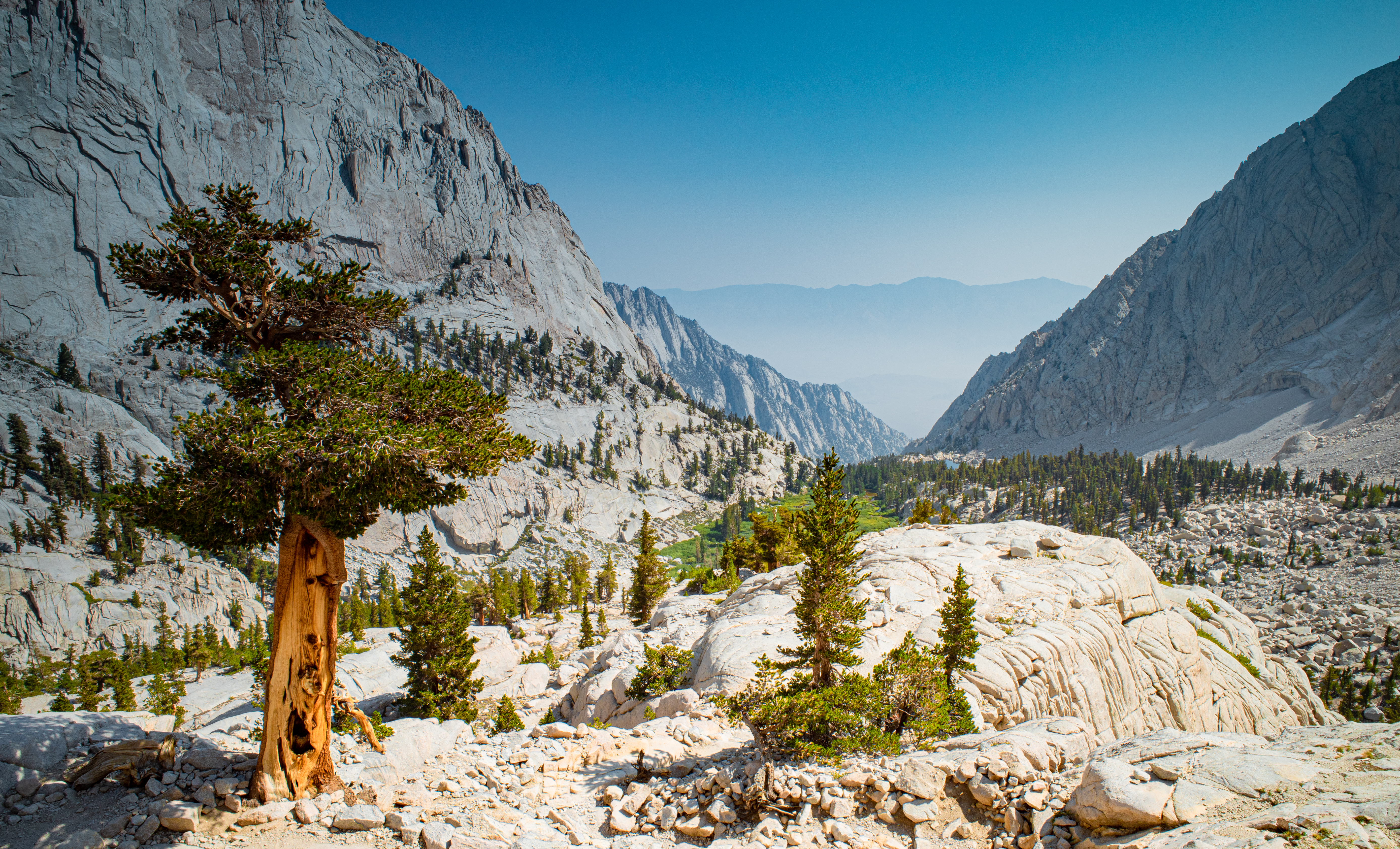
After Forester Pass, the trail continued to descend as it made its way towards Tyndall Creek.
-
On the way to Tyndall Creek -
Near Tyndall Creek -
Marmot south of Forester Pass -

South of Forester Pass -
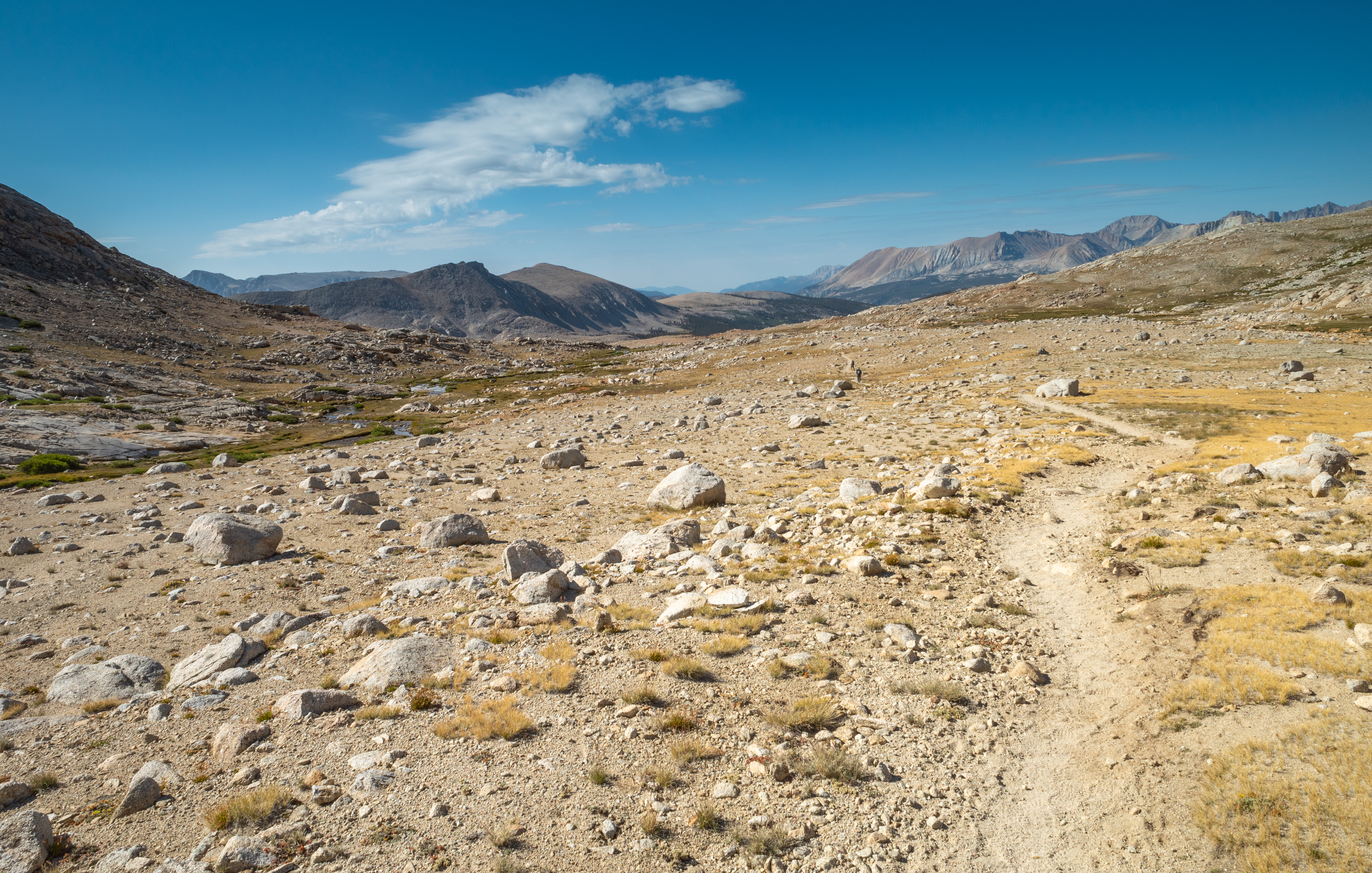
South of Forester Pass
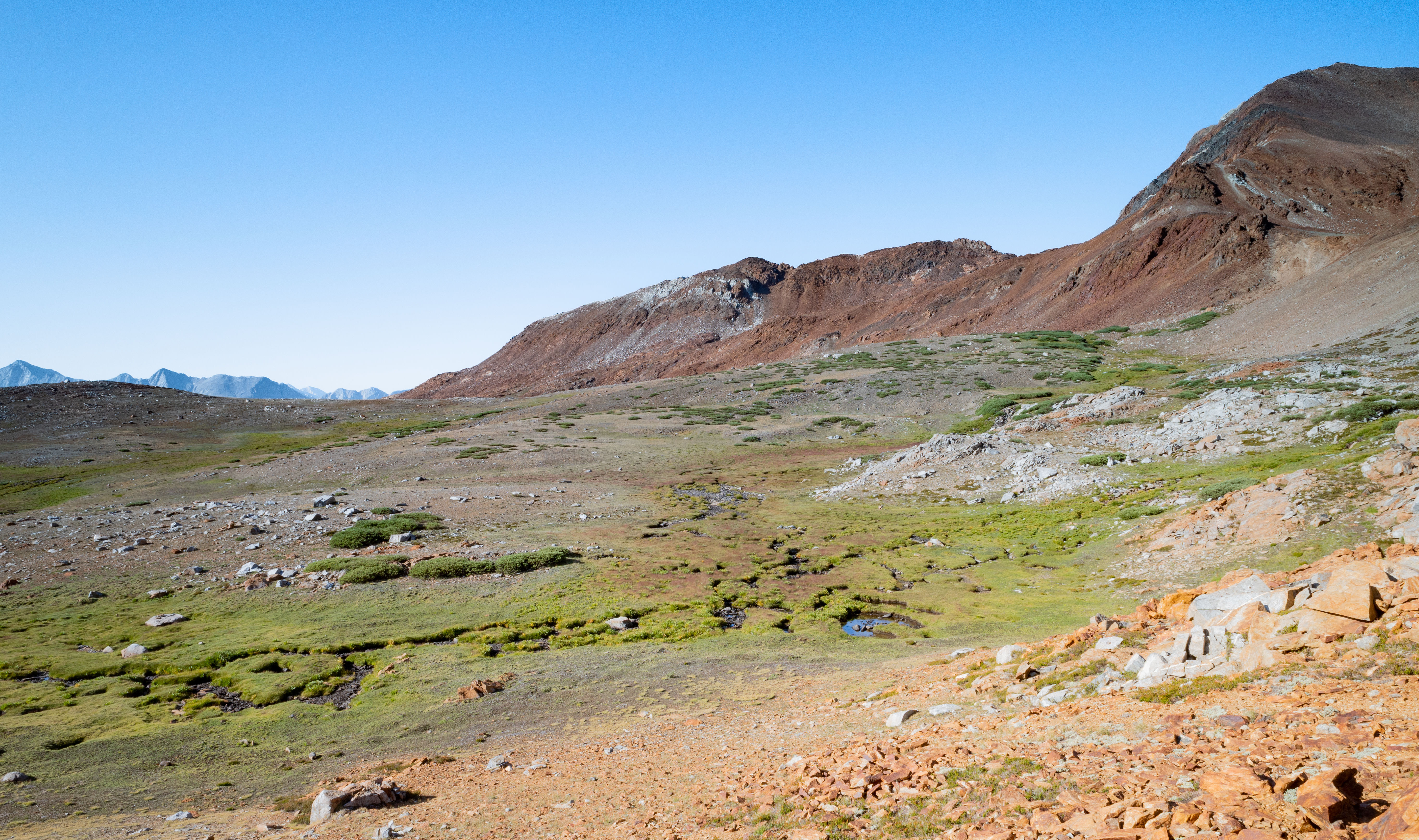
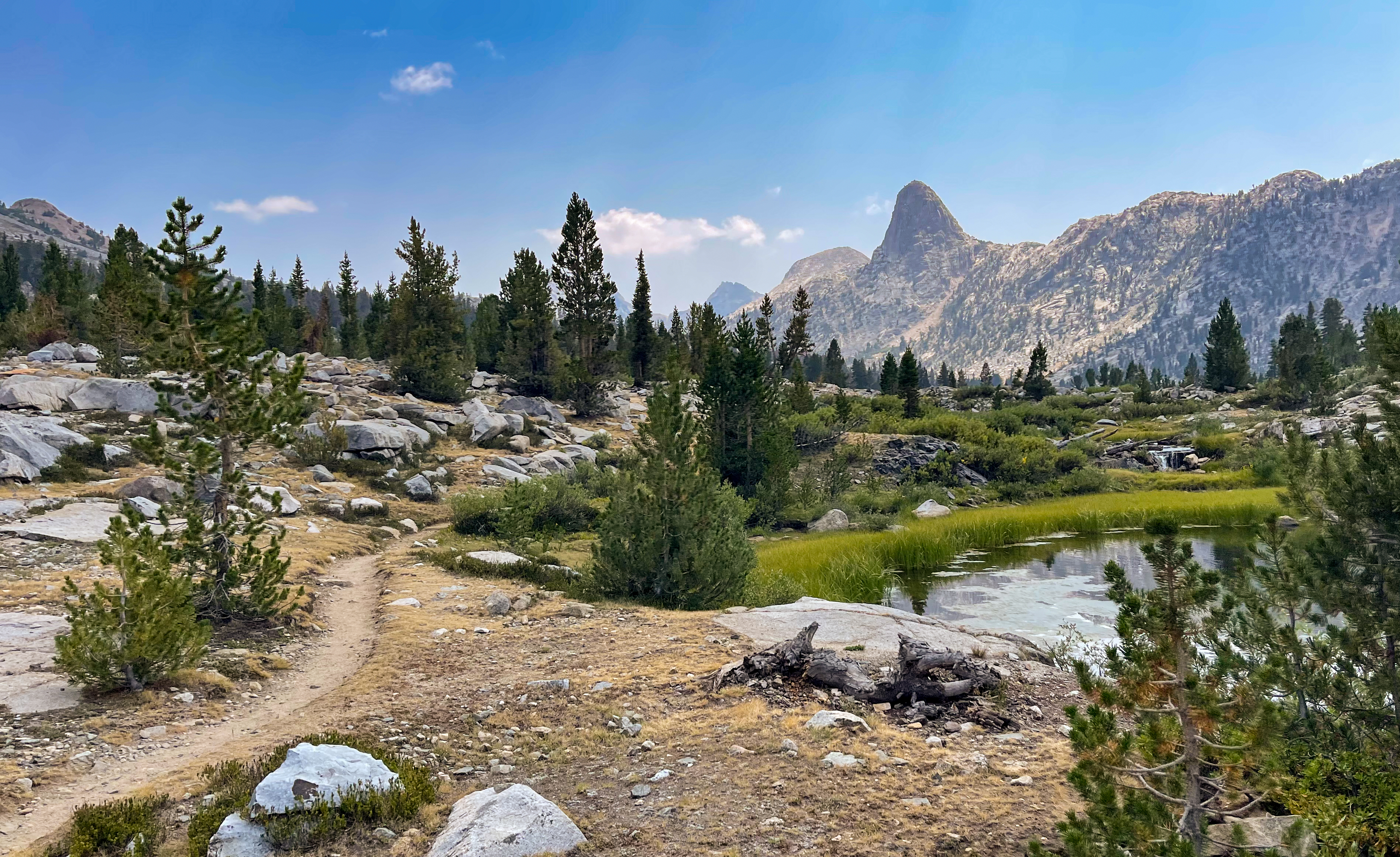
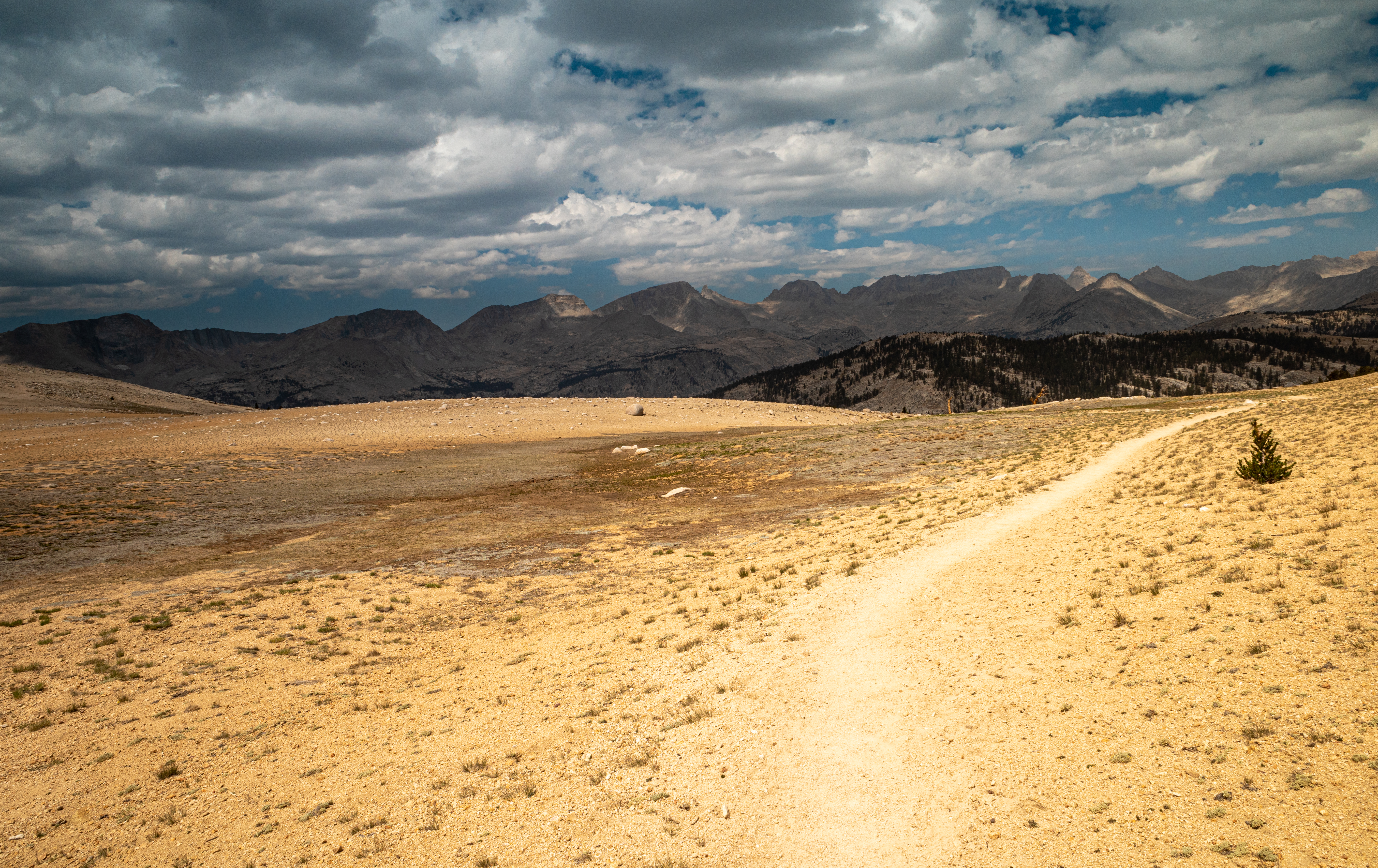
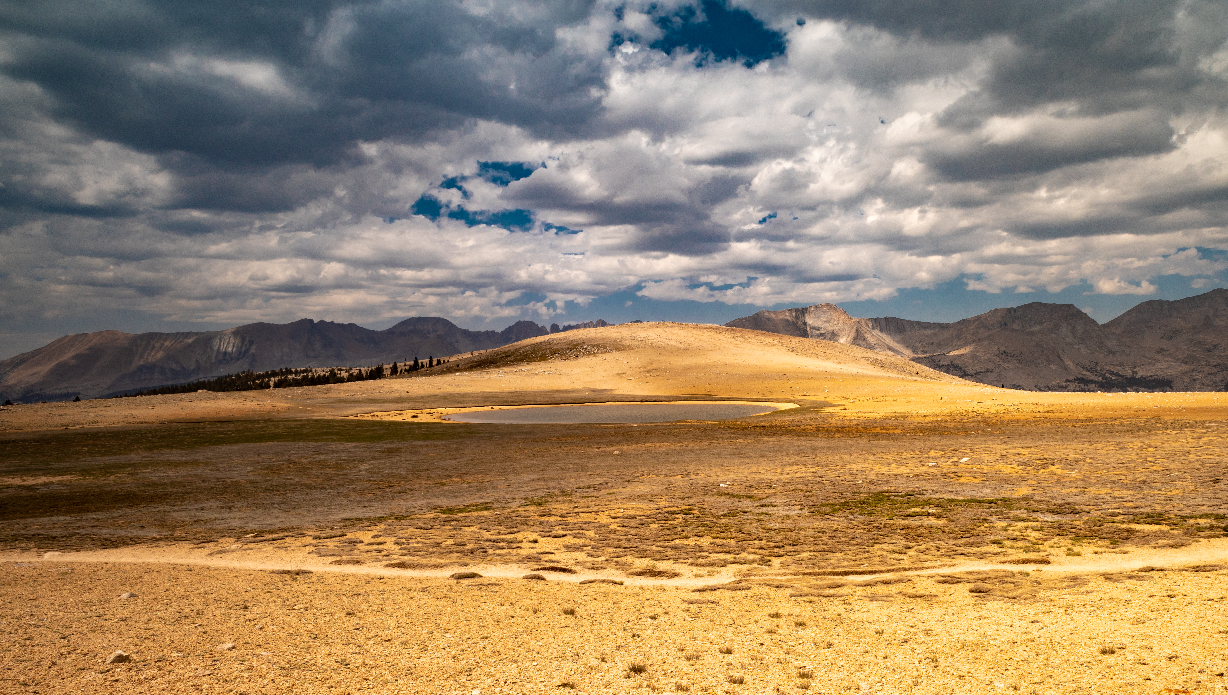
The trail then reaches Bighorn Plateau, strangely named considering a plateau is one of the last places you’ll find Bighorn sheep, who prefer the safety of steep mountainsides. Clouds rolled in at this point and we worried we would get stuck in a storm, but we stopped for lunch here and fortunately it did not rain.
-
Bighorn Plateau -
Bighorn Plateau -
Lake on Bighorn Plateau
We continued on until we reached Wallace Creek, where there were a bunch of campsites on the south side of the river, with bear boxes available, too. We set up camp, washed our clothes, jumped in the creek to rinse off, had dinner, and went to bed.
Day 5 Journal
Day 5 – We got up around 4:30am to get an early start over Forester Pass. What a nice, gentle grade! A+ grade.
We passed Tyndall Creek and then Bighorn Plateau. Clouds were overhead and it seemed like it might rain. A big, exposed flat area is not a good place to be! We had lunch there, then we moved on even though we originally planned to camp there. We ended up going until Wallace Creek. Tons of forested campsites near the river. Very nice!
We found a great spot, set up our tents, then dad and I took a dip in the river. So refreshing!
We changed the bandaids on dad’s hands, then started doing chores to get camp ready.
We are debating how far to go tomorrow: Guitar Lake, above Hitchcock Lakes, or all the way just below Trail Crest? Either way, the last stretch will require carrying a lot of water and a steep climb.
journal excerpt 8-11-21
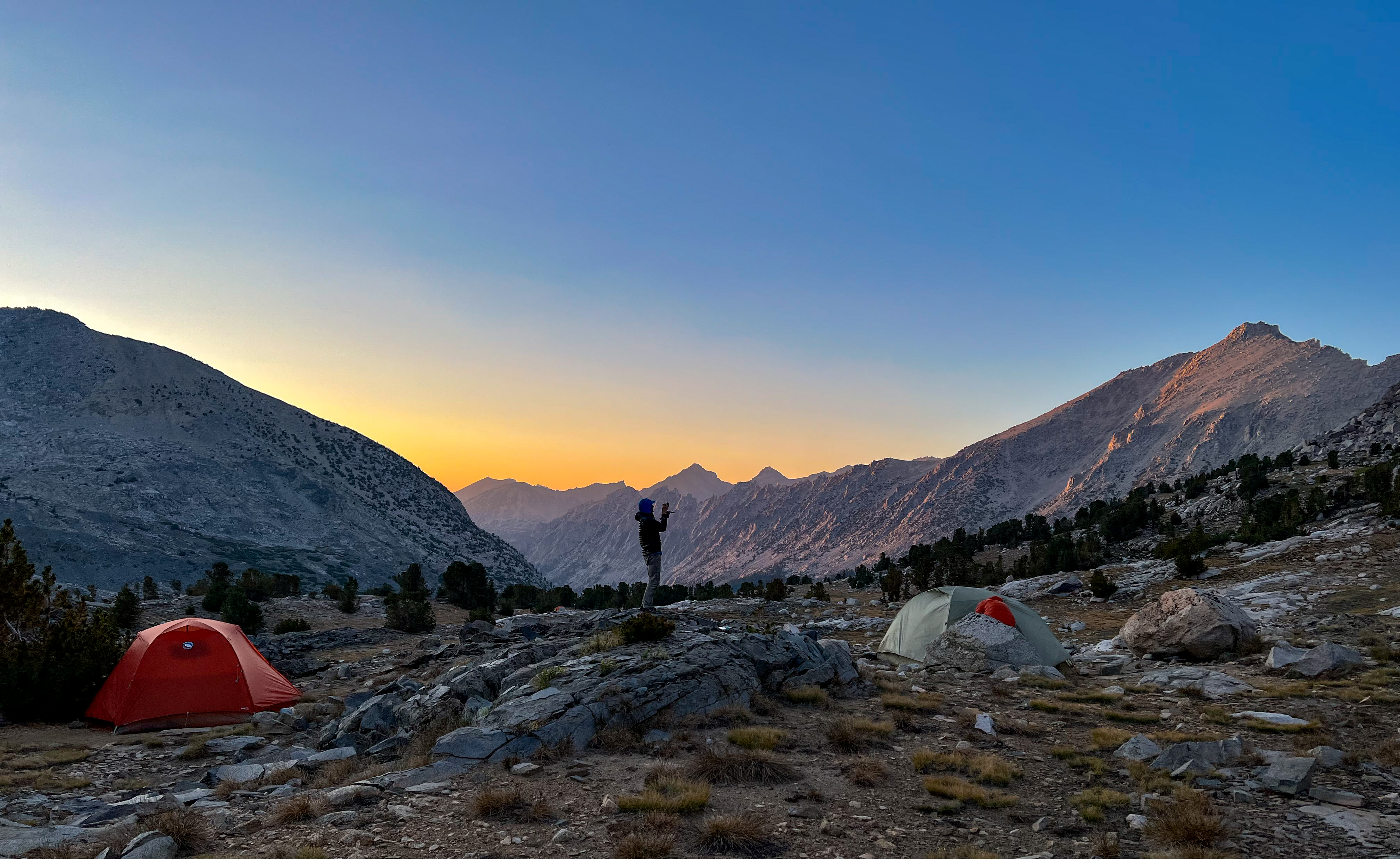
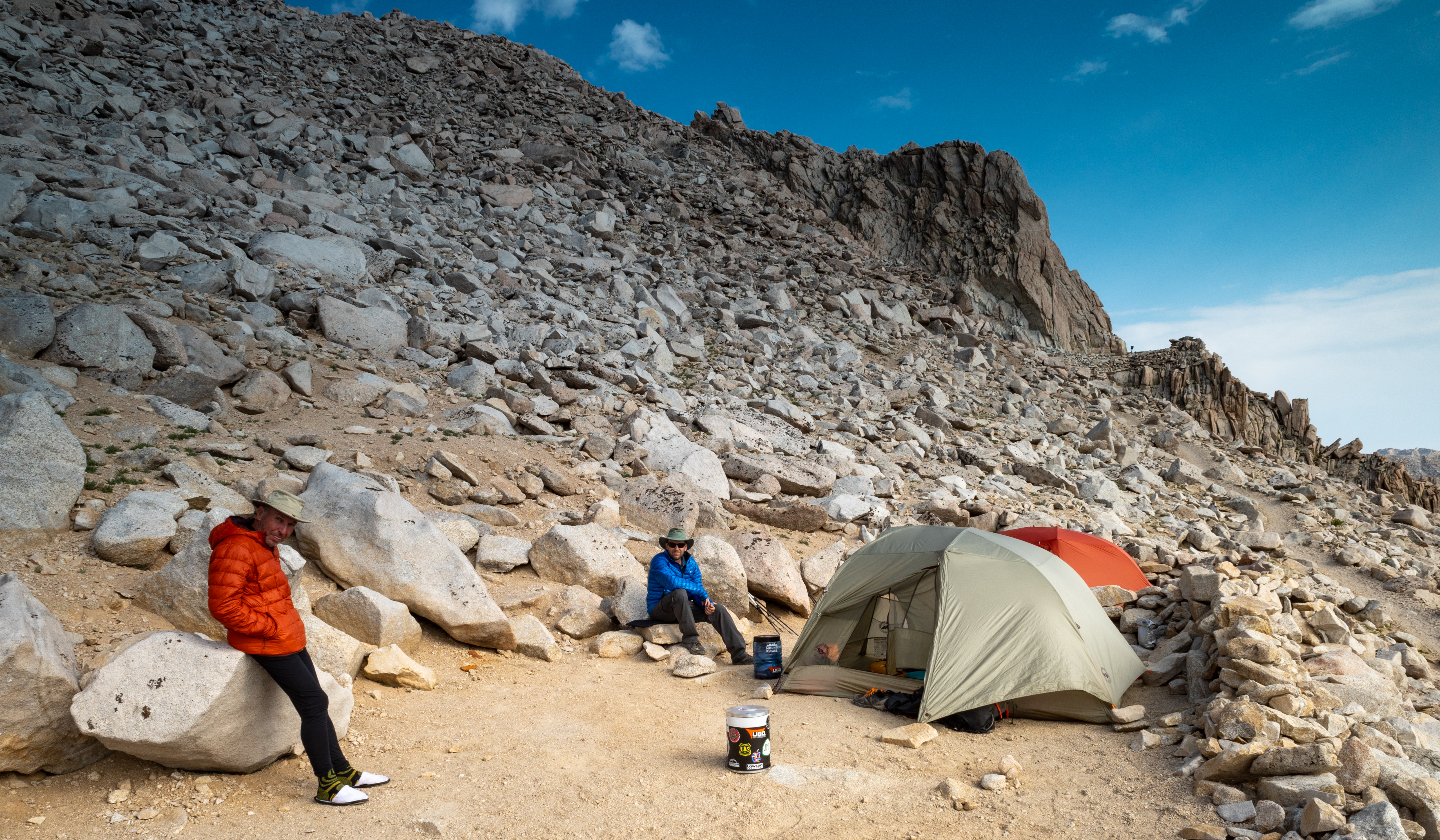
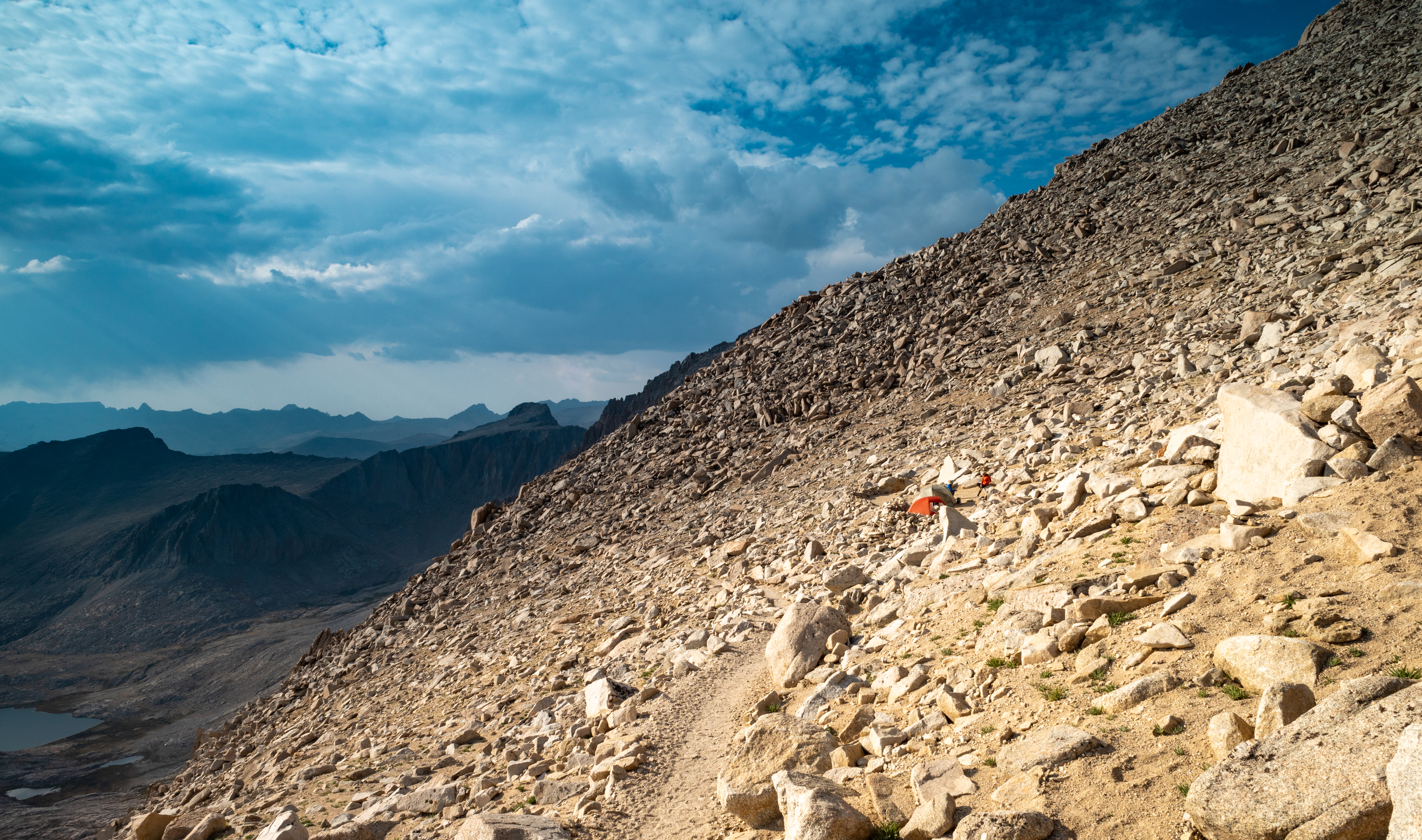
Day 6 – Wallace Creek to Mt. Whitney “Dazzle” Campsite
Start: Wallace Creek
End: “Dazzle” campsite on last switchback below Mt. Whitney Trail junction
Distance: 9.2 miles
Elevation gain: +4,000′

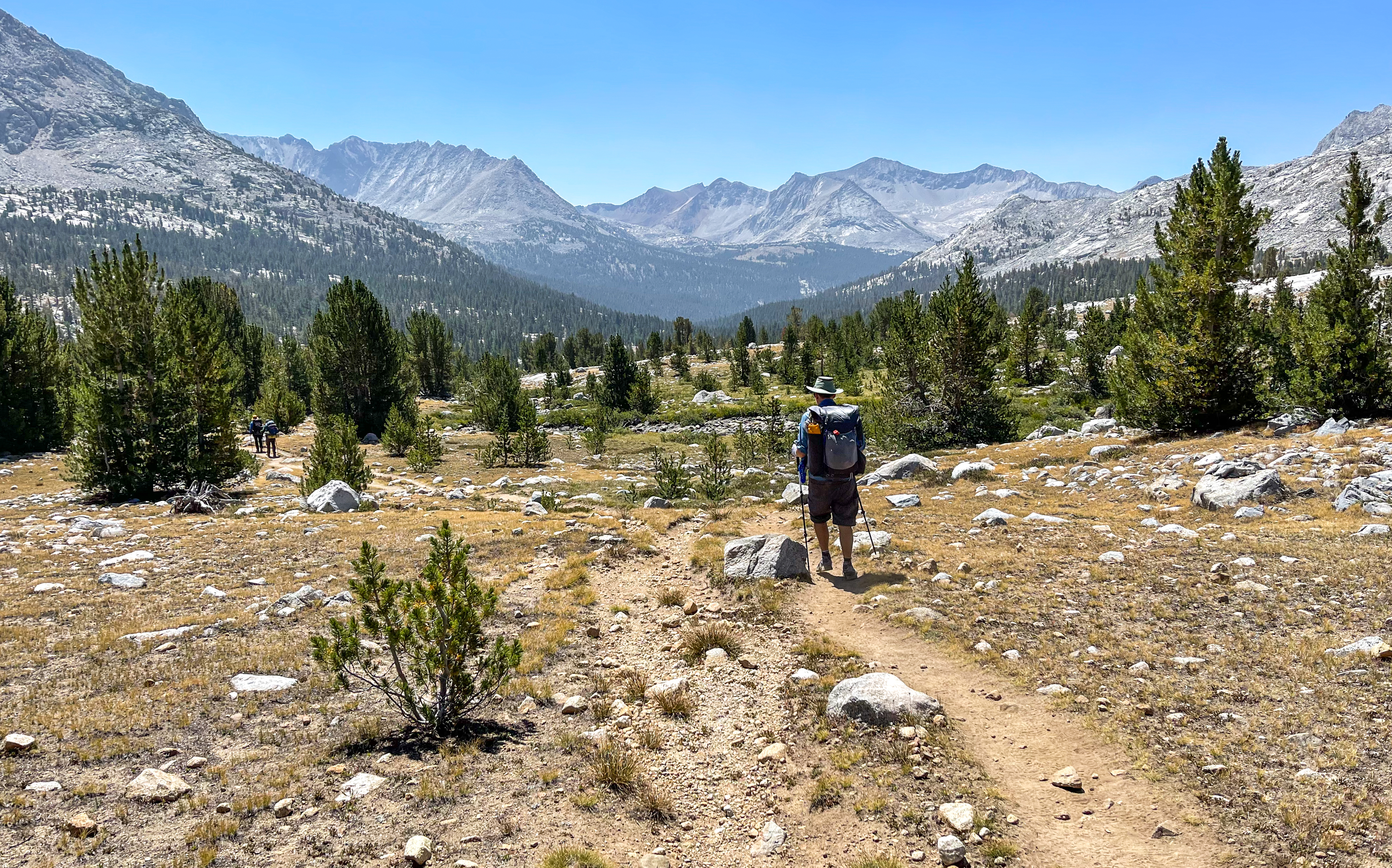
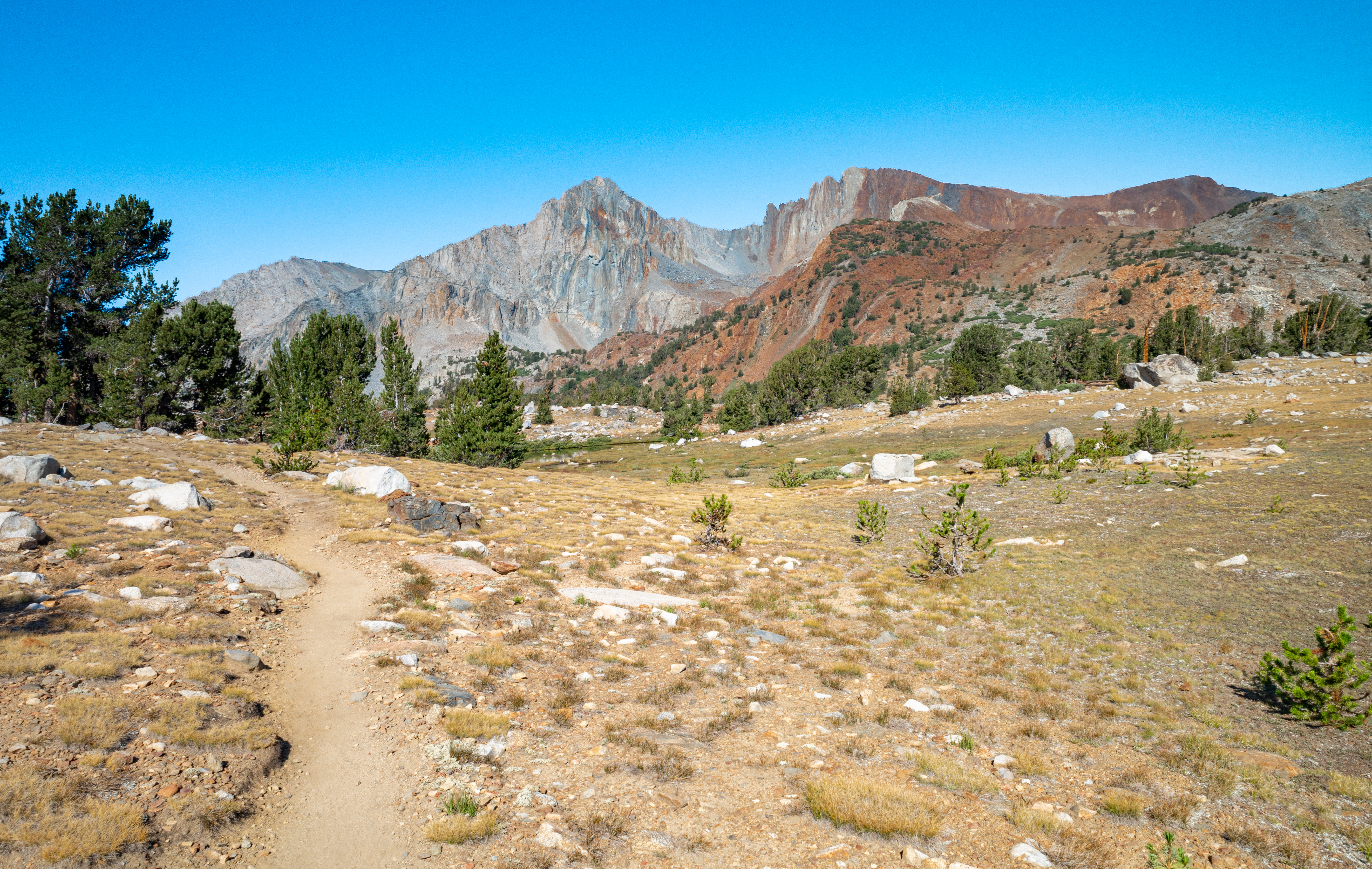
We got up at 4am today, unsure of how far we would go. We quickly passed Sandy Meadow and then reached the junction where the Pacific Crest Trail continued south and the John Muir Trail split off to the east.

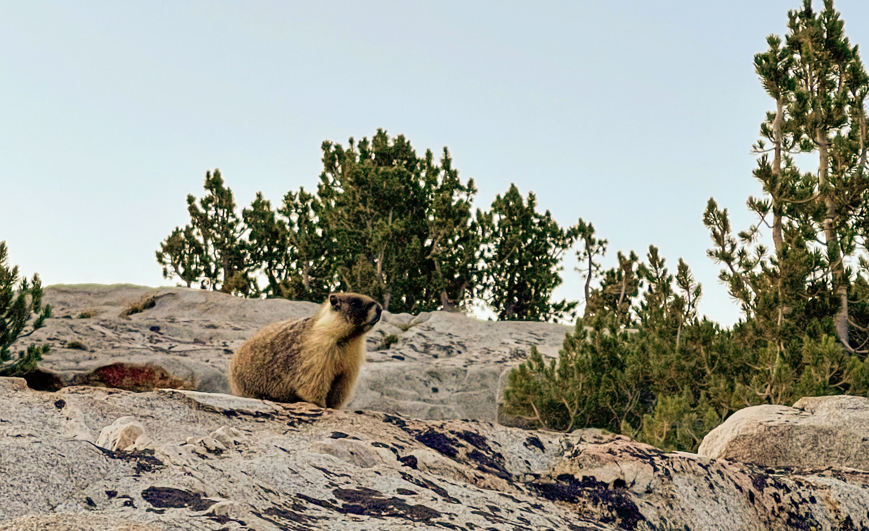
We passed Crabtree Meadow and then Timberline Lake before arriving at Guitar Lake. There were sooo many marmots at the lake, which is a popular camp spot the night before people summit Mt. Whitney.
-
Approaching Timberline Lake -
Timberline Lake -
Mount Whitney -
Just past Guitar Lake -

Marmots -
So many marmots -
Pack train -
Near Guitar Lake -
Guitar Lake
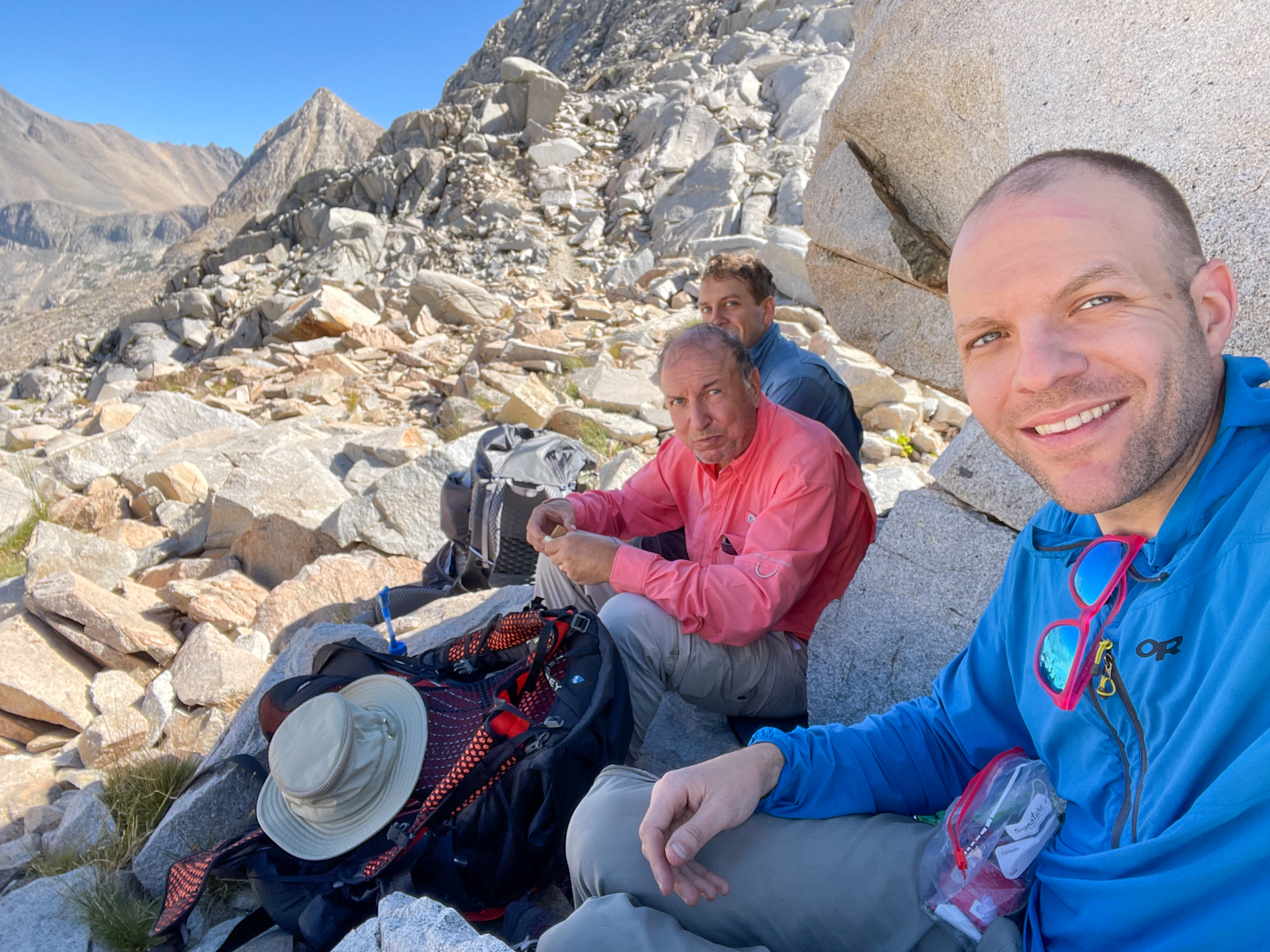
We got to Guitar Lake around 9:30am and had an early lunch. We debated whether to stop here or continue up the steep switchbacks on the west side of Mount Whitney to a set of tent sites known as the Dazzle campsite. This would have involved an exposed 2,000 foot climb over 2 miles. With no water at the camp site, it meant we would have to haul up all the water we would need for the day, for the next morning to summit Mt. Whitney, and for part of the way down until we reached a water source.
There was also the threat of thunderstorms, which is dangerous on an exposed campsite near the top of a mountain. When we passed Crabtree Meadow earlier, my brother had asked a ranger if she would camp up on the Whitney switchbacks. She said that due to the threat of thunderstorms, she would not.
We decided to go for it, filled up on water, and began the climb up the switchbacks on the west side of Mount Whitney.
-
Beginning the climb up the west side of Mount Whitney -
West side of Mount Whitney -
West side of Mount Whitney -

West side of Mount Whitney -
Switchbacks up Mt. Whitney -
West side of Mount Whitney -
Switchbacks up Mt. Whitney
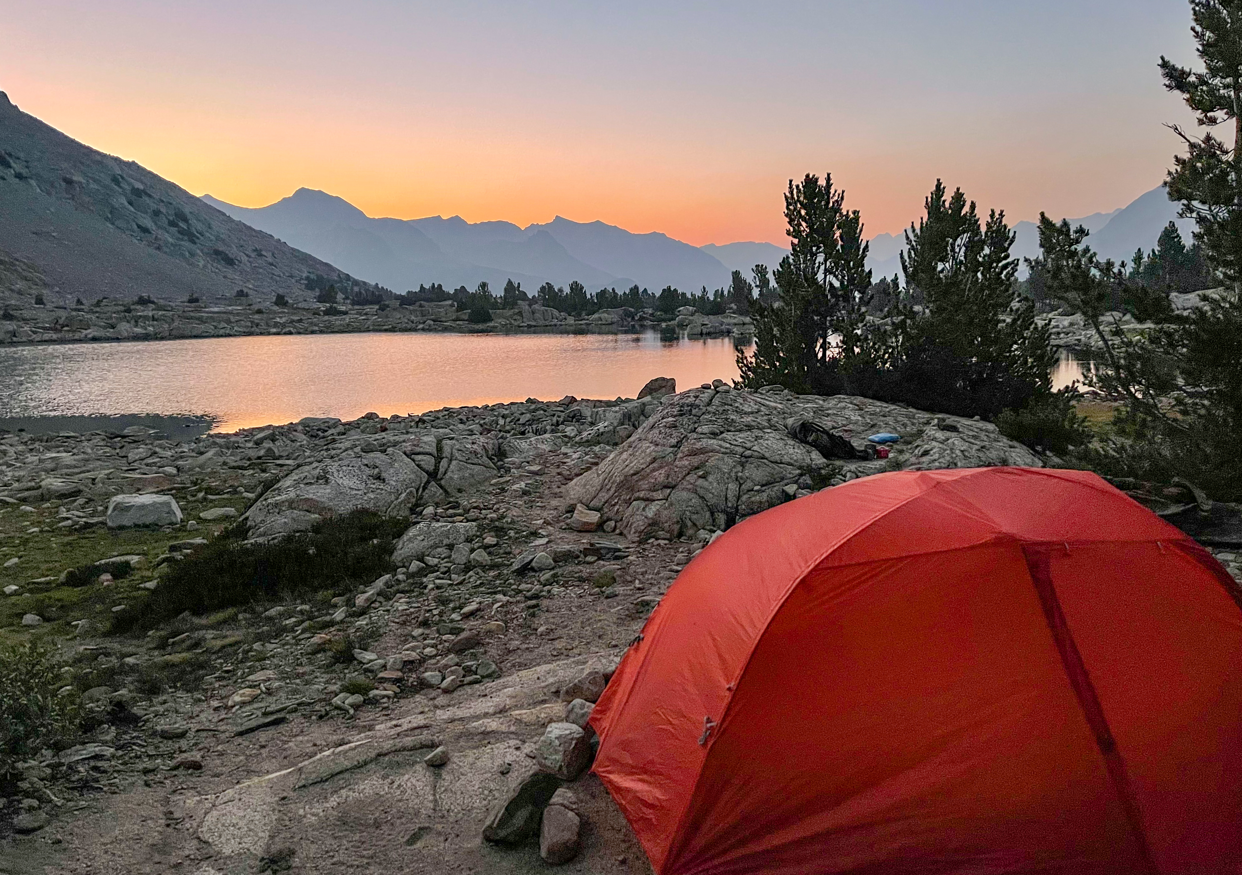
Finally, on the last switchback before reaching the junction with the Mount Whitney Trail, we saw the camp site just above the trail. The site is flat and sheltered from the wind by rock walls. The views to the west of Guitar Lake, the Hitchcock Lakes, and Mount Hitchcock, were unbeatable. We were threatened by storms and we could hear thunder and see lightning nearby, but thankfully the storm stayed away.
-
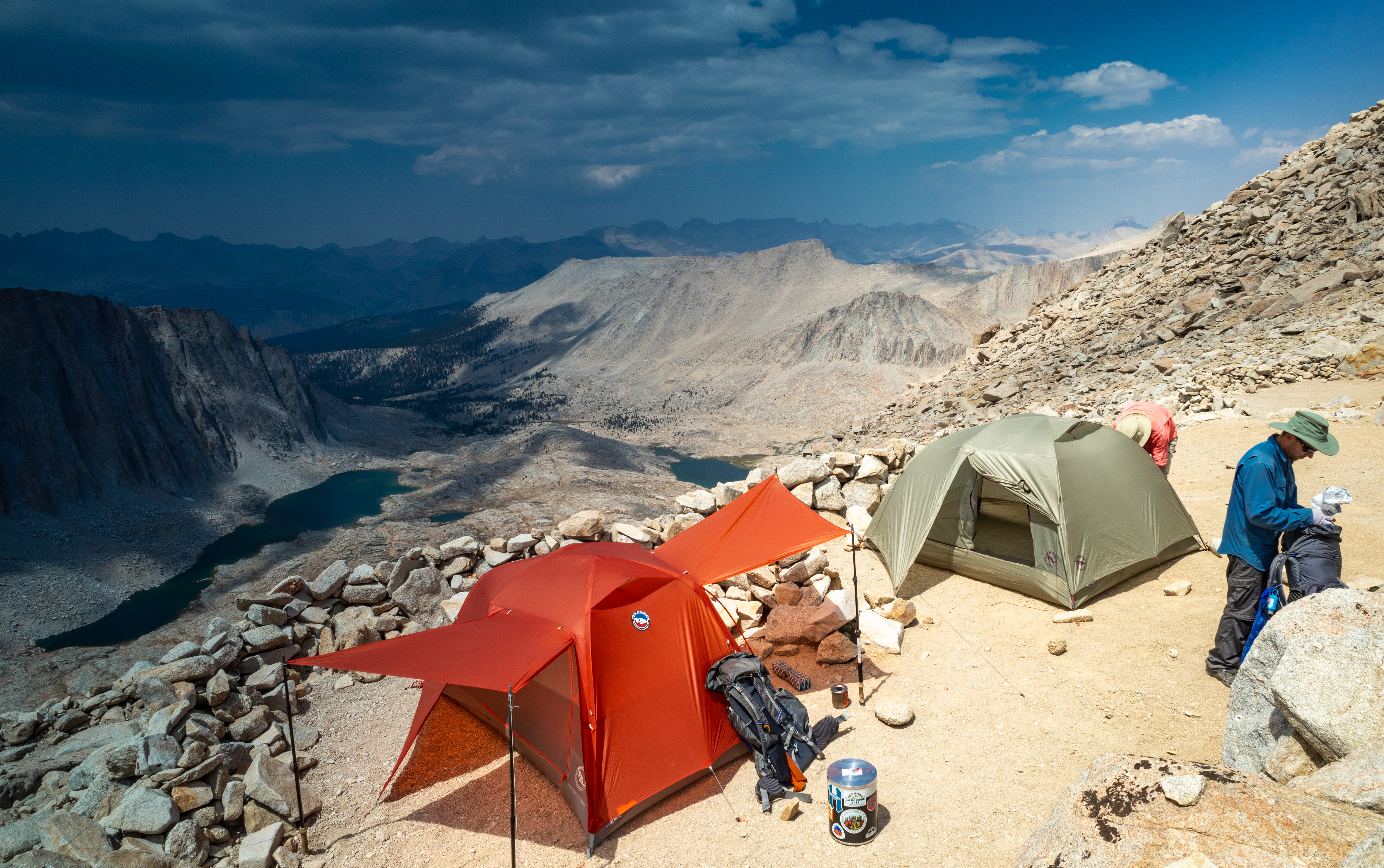
Dazzle campsite on Mt. Whitney -
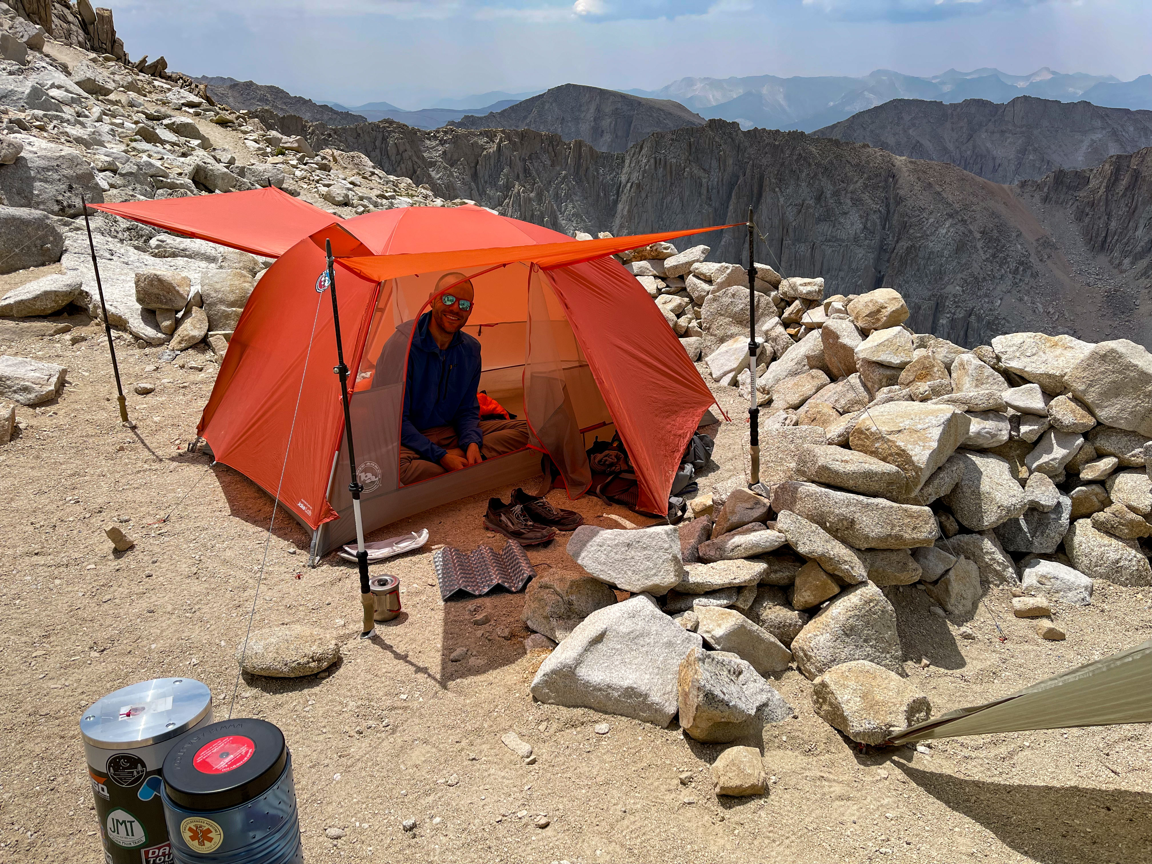
Dazzle campsite on Mt. Whitney -
Dazzle campsite on Mt. Whitney -
View from the campsite towards the Mt. Whitney trail junction -
Mt. Whitney Trail and JMT junction -
View of Dazzle campsite from the Mt. Whitney Trail junction -
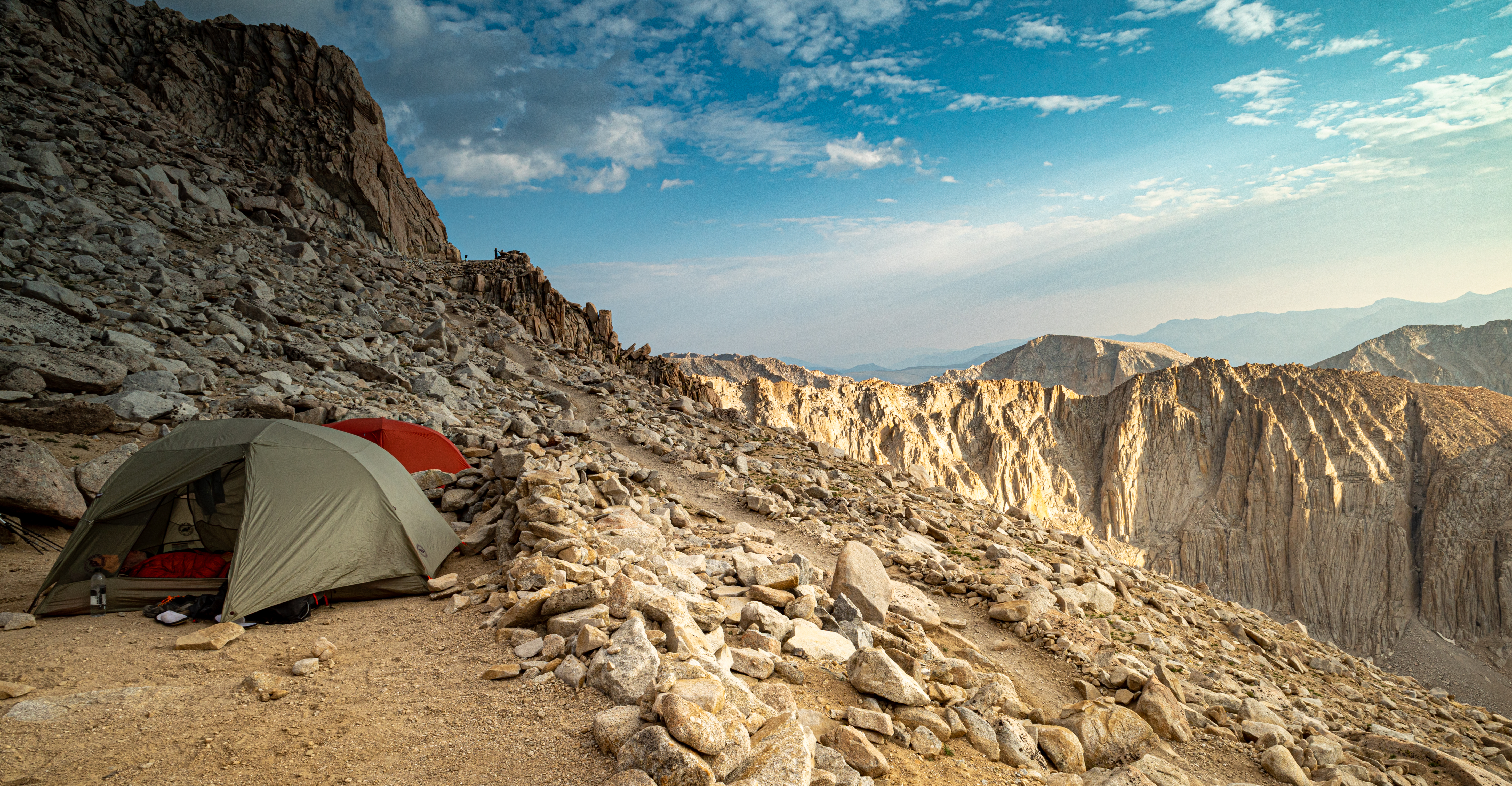
Dazzle campsite on Mt. Whitney
But the best part was the sunset. The clouds from the storm helped create the most incredible light show I’ve ever seen.
-

Sunset on Mt. Whitney -
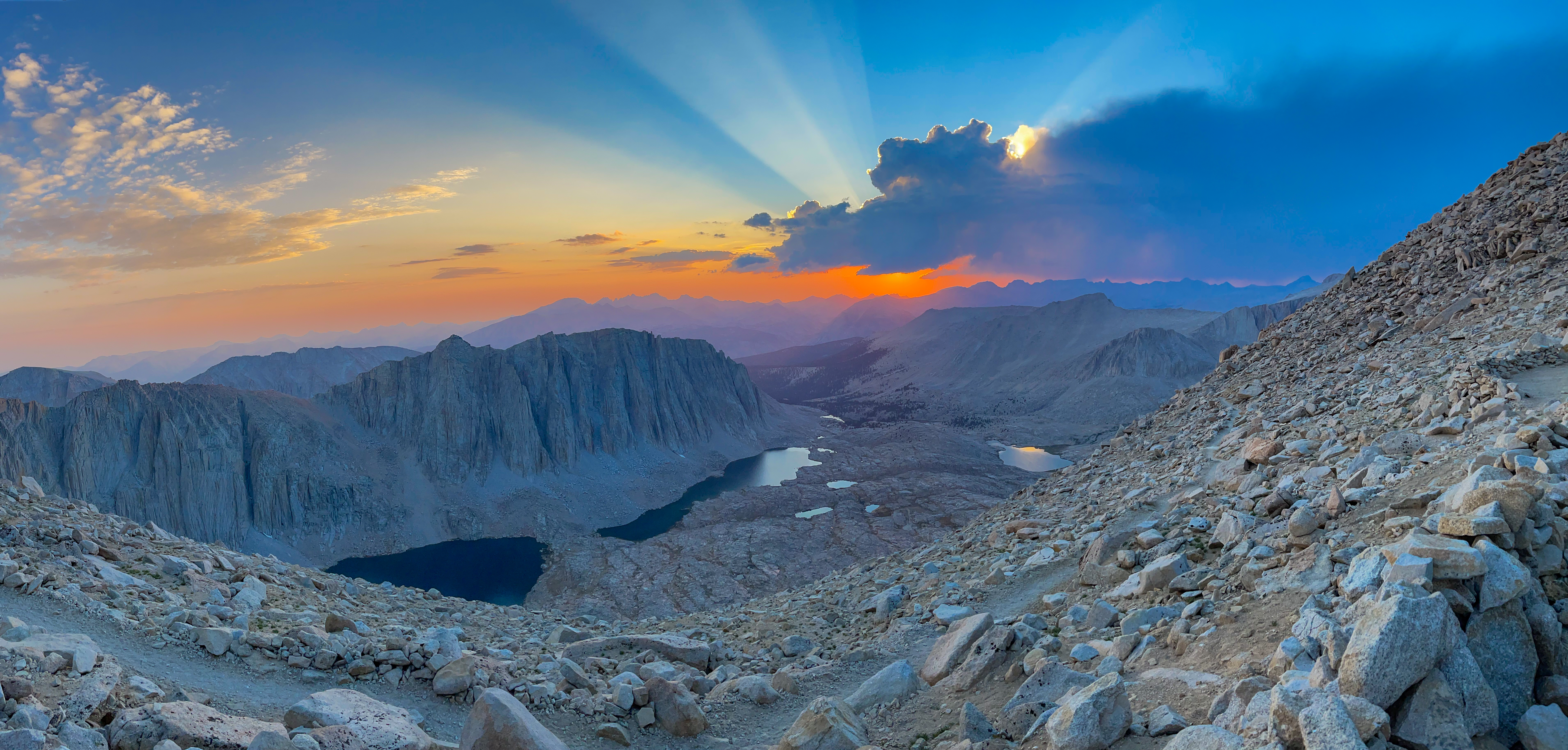
Sunset on Mt. Whitney -
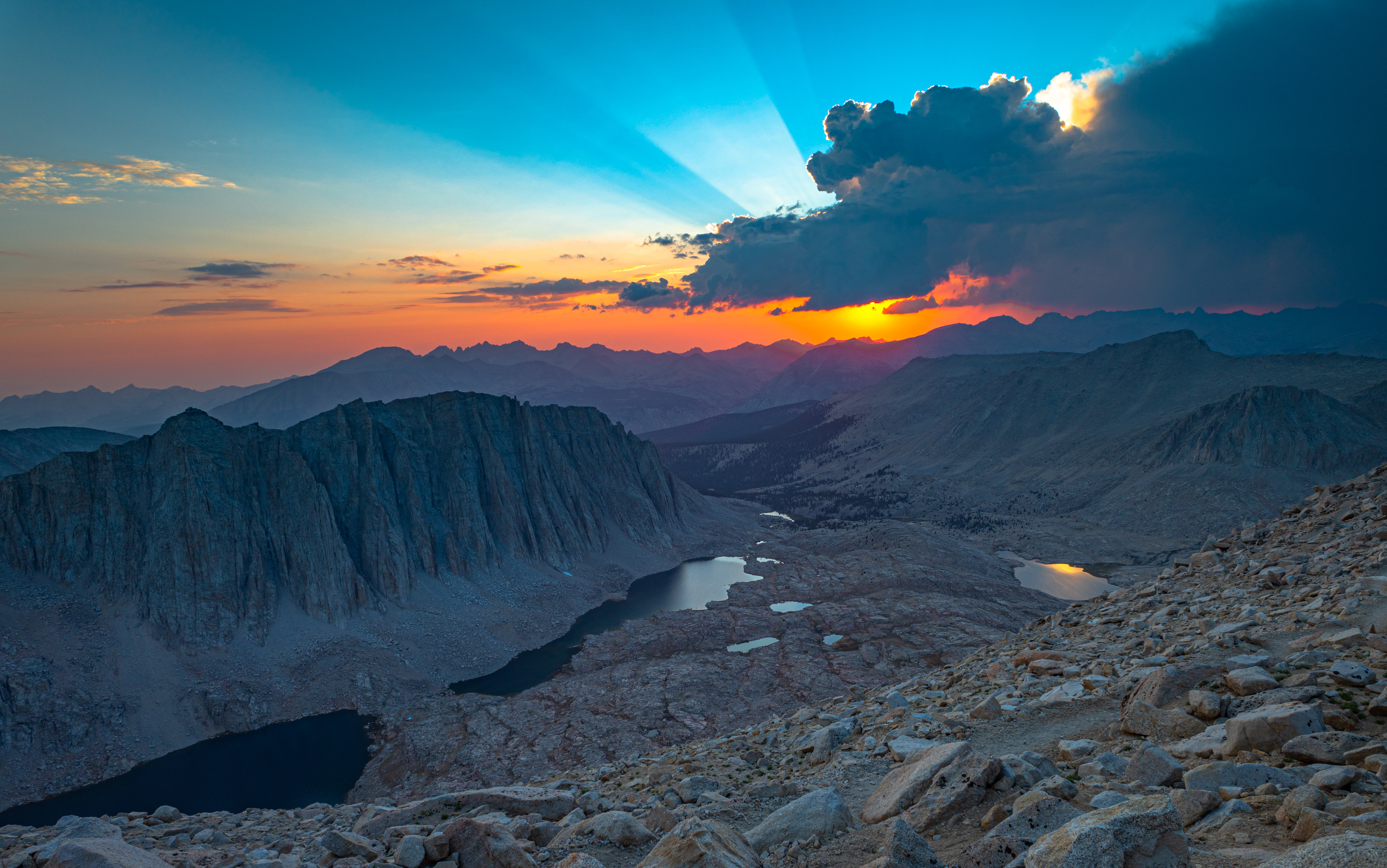
Sunset on Mt. Whitney
We stayed up and watched the stars for a while, then went to bed and got ready for an early rise the next day.
Day 6 Journal
Day 6 – Well we did it! After much consternation about how much water we would need, if we would have the energy for a 2,000 ft climb over 2 miles, and whether it would be too dangerous at that elevation from the thunderstorms, we got up at 4am and started hiking around 5:30am.
We got to Guitar Lake around 9:30am, had lunch, and had a decision to make: stay or continue to almost Trail Crest?
Fran had gone to use the open air toilet at Crabtree Meadow. While there, he asked the ranger about camping at high elevation. She said due to the recent weather and afternoon storms, she wouldn’t do it. We decided to do it.
It turned out to be tough, but easier than we expected. By noon we were at our campsite, a beautiful, flat yet exposed site surrounded by rockwalls to provide some shelter from the wind.
And the view? Woooow. The best.
We saw some storm clouds nearby and heard thunder, but fortunately got no rain. The sun beat down hard on us through the thin atmosphere. Tomorrow, we wake up at 1am to catch the sun rise on top of Mt. Whitney.
journal excerpt 8-12-21
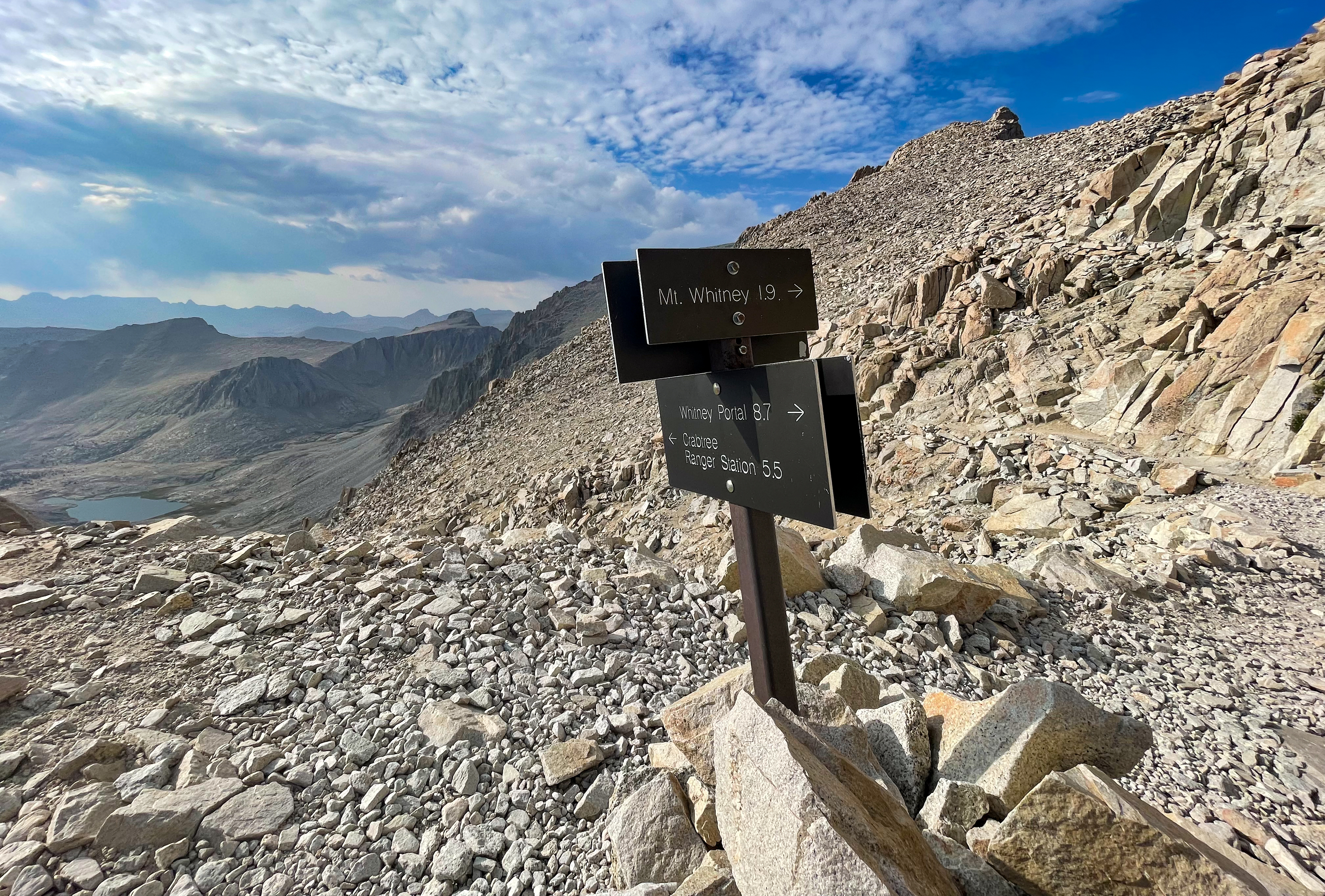
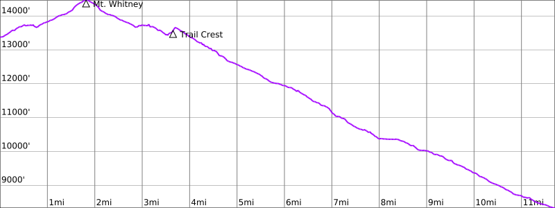
Day 7 – Mt. Whitney to Whitney Portal
Start: “Dazzle” campsite on last switchback below Mt. Whitney Trail junction
End: Whitney Portal
Distance: 11.7 miles
Elevation gain: +1,951′
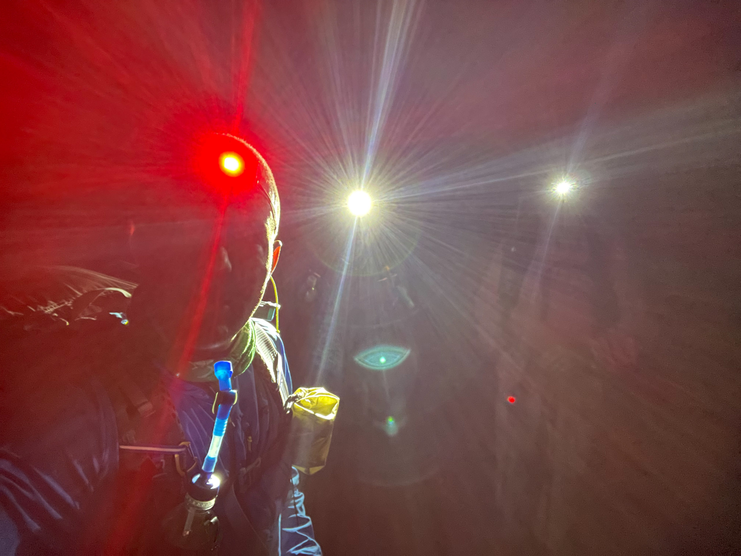
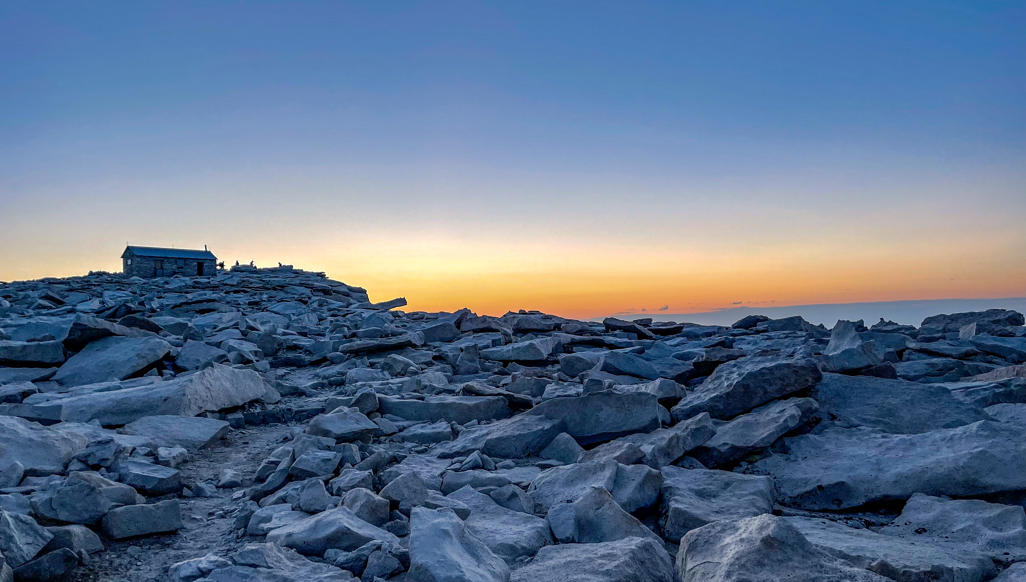
We woke up early and hit the trail by 2am because we wanted to catch the sunrise on the summit of Mount Whitney. We stashed our bear cans at the junction with the Mount Whitney Trail to reduce our pack weight. We made better time than we expected and got to the summit at 4am. At that time, we were the only people there, and we signed the trail register at the Smithsonian Shelter hut.
-
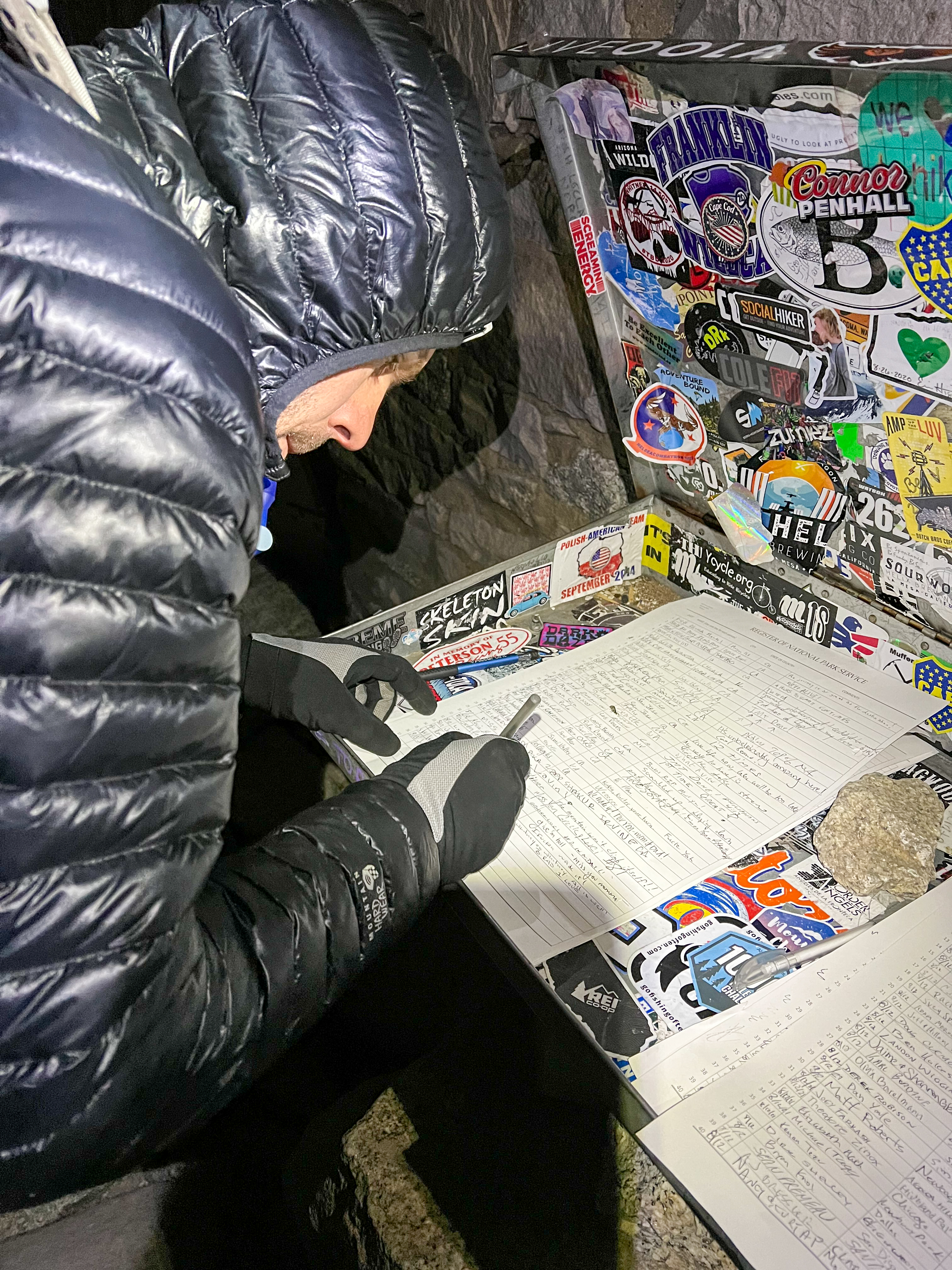
Me signing the Mt. Whitney register -
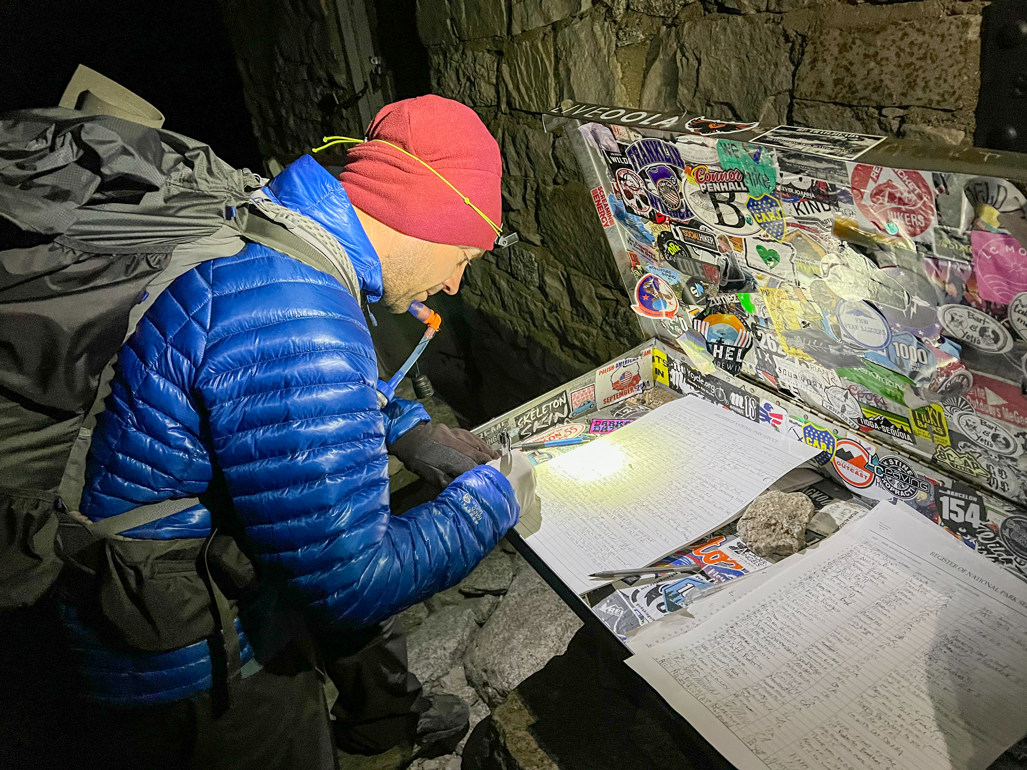
Francisco signing the Mt. Whitney register -
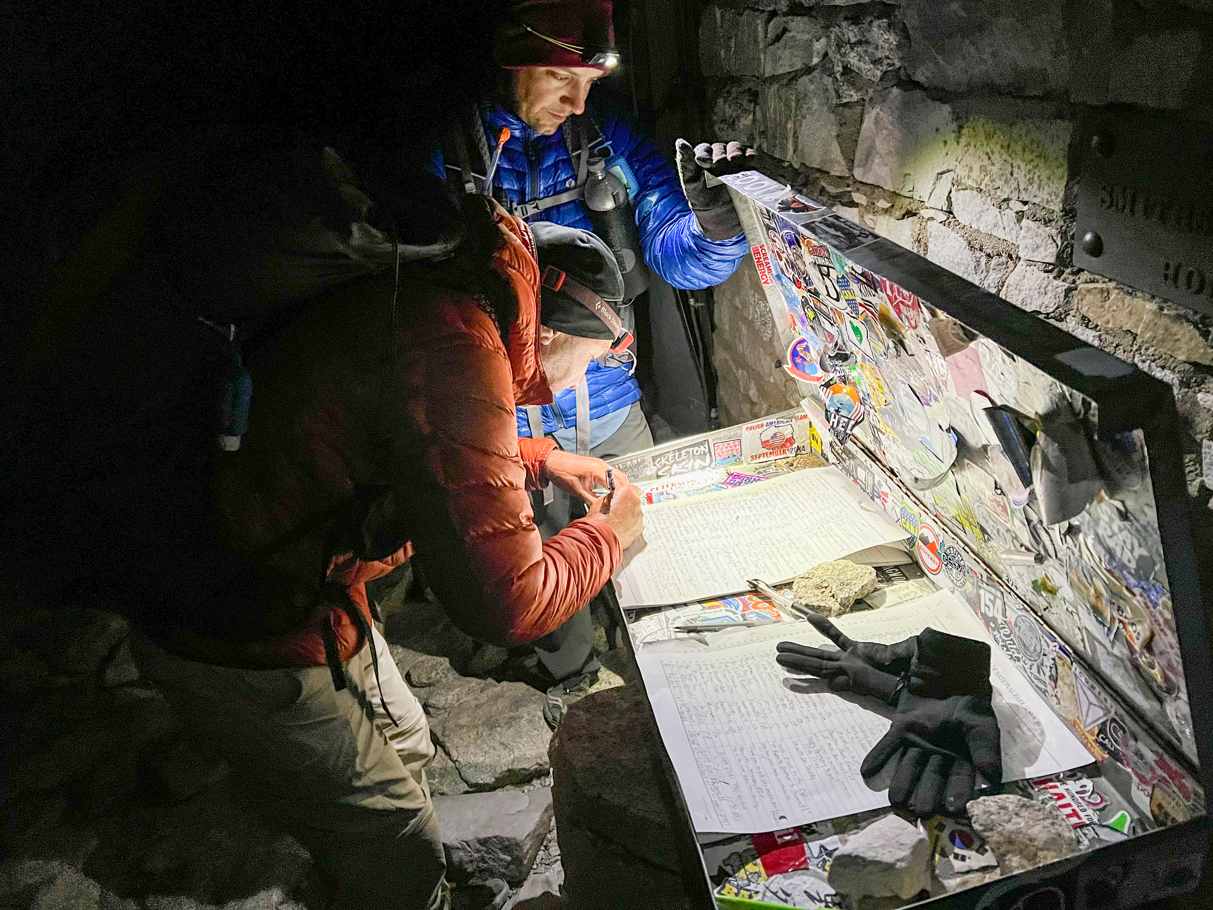
Dad signing the Mt. Whitney register -
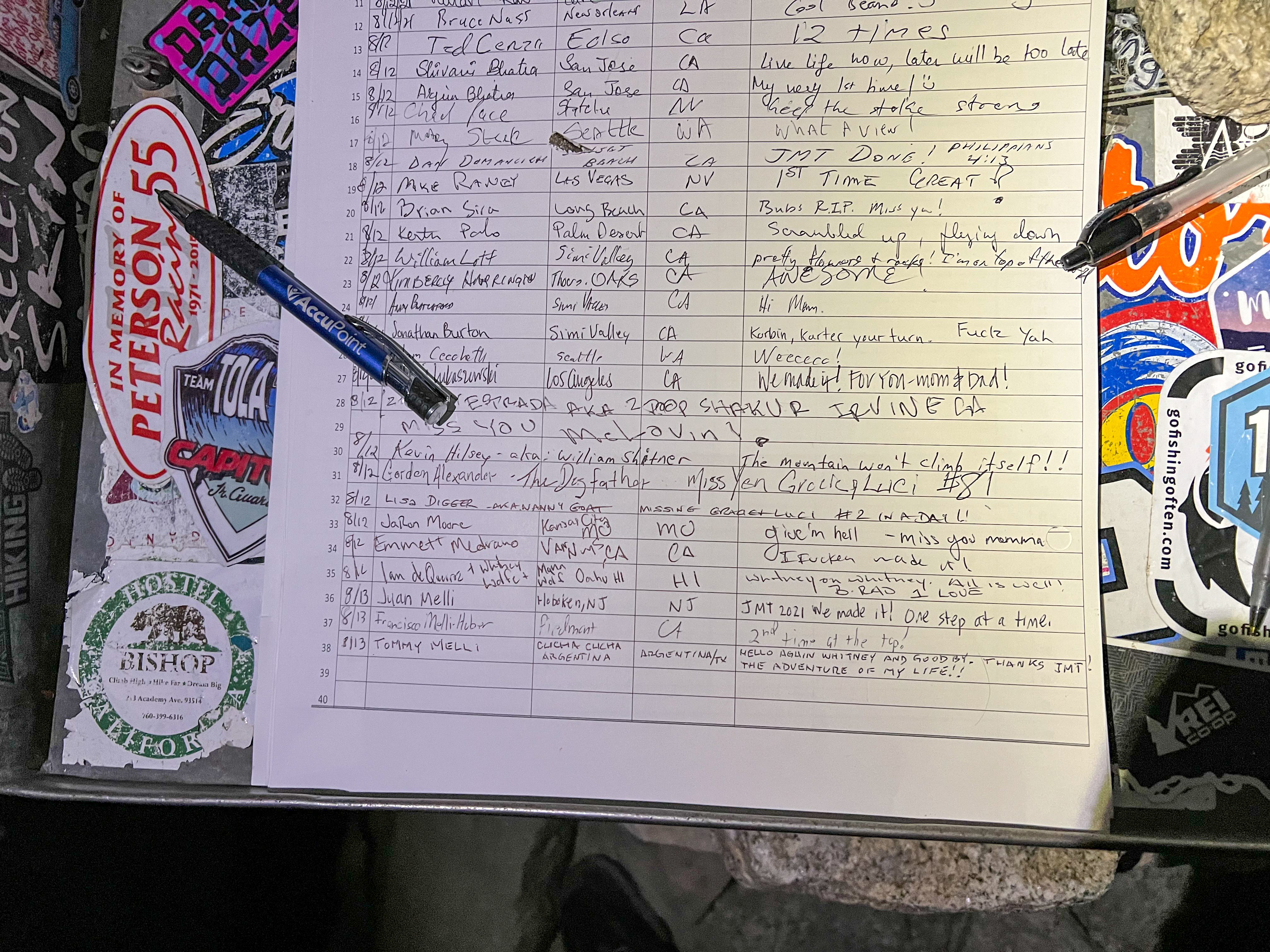
Mt. Whitney register
We sat down and watched the Perseids Meteor shower, which was near its peak. It was truly amazing to get to see so many shooting stars from the highest point in the lower 48 states.
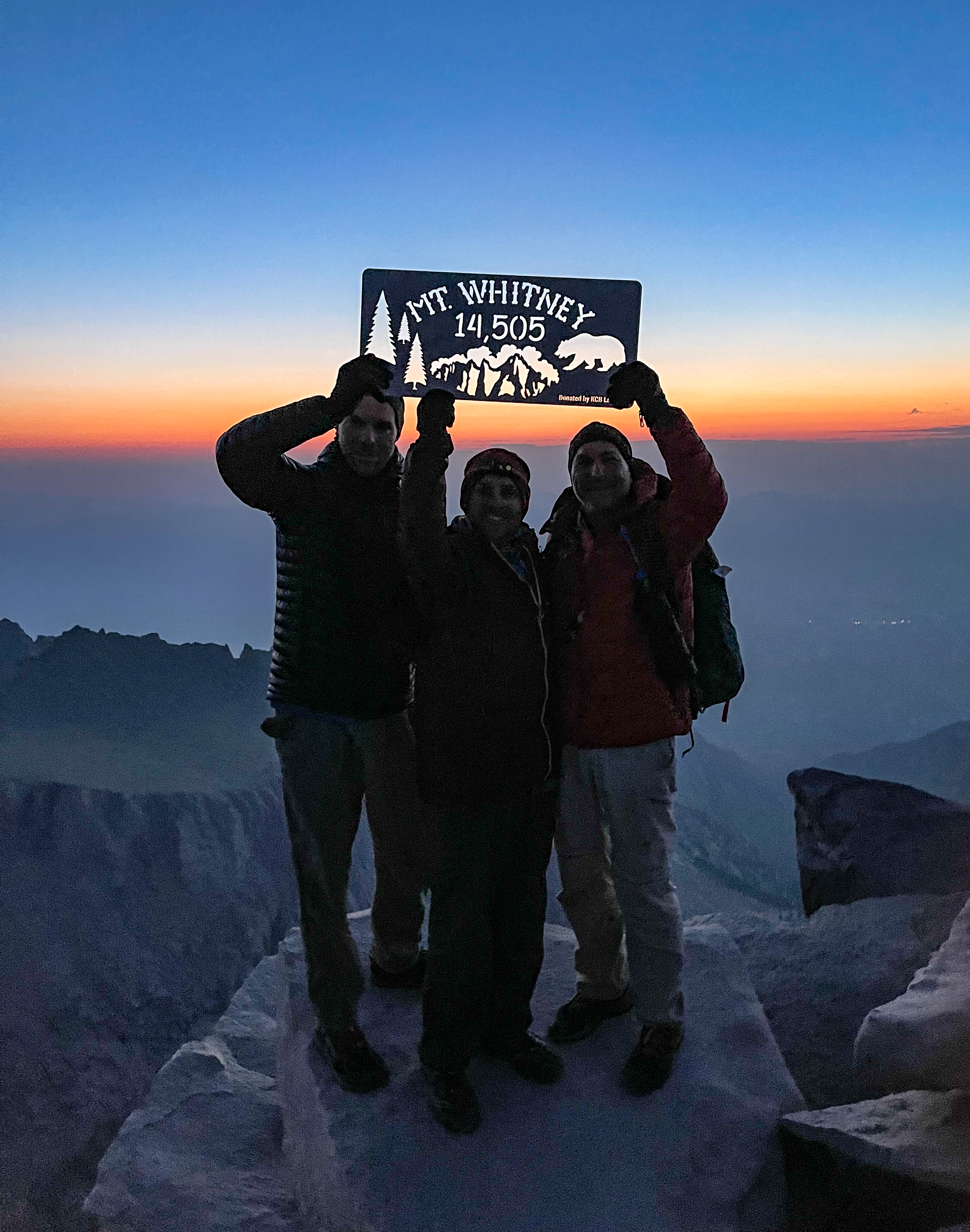
But we were cold so we wrapped ourselves in our sleeping bags – which still wasn’t enough to stay warm – and eventually went inside the summit hut to try to stay warm. As the sun started to rise, more people appeared on the summit. We snapped some pictures on the summit and then started to make our way down.
-

Sunrise on Mount Whitney -
Sunrise on Mount Whitney -
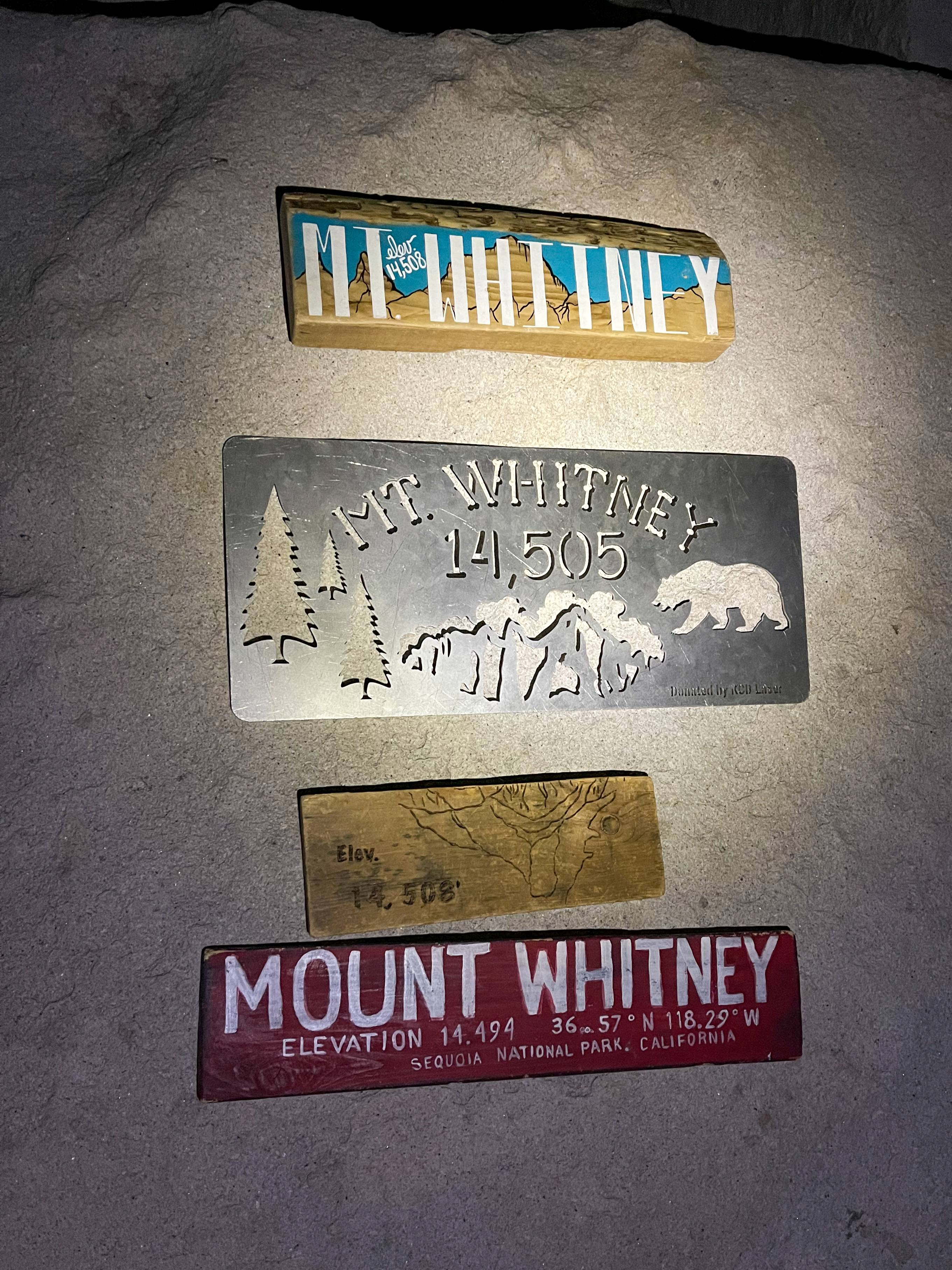
Multiple Mt. Whitney signs available on the summit -
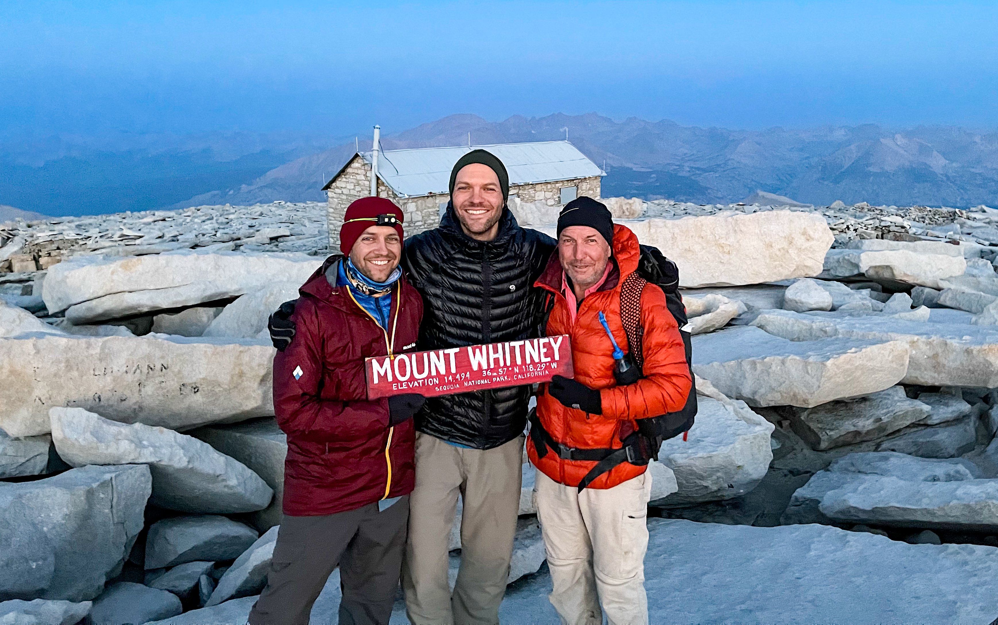
Mount Whitney summit -
Sunrise on Mt. Whitney
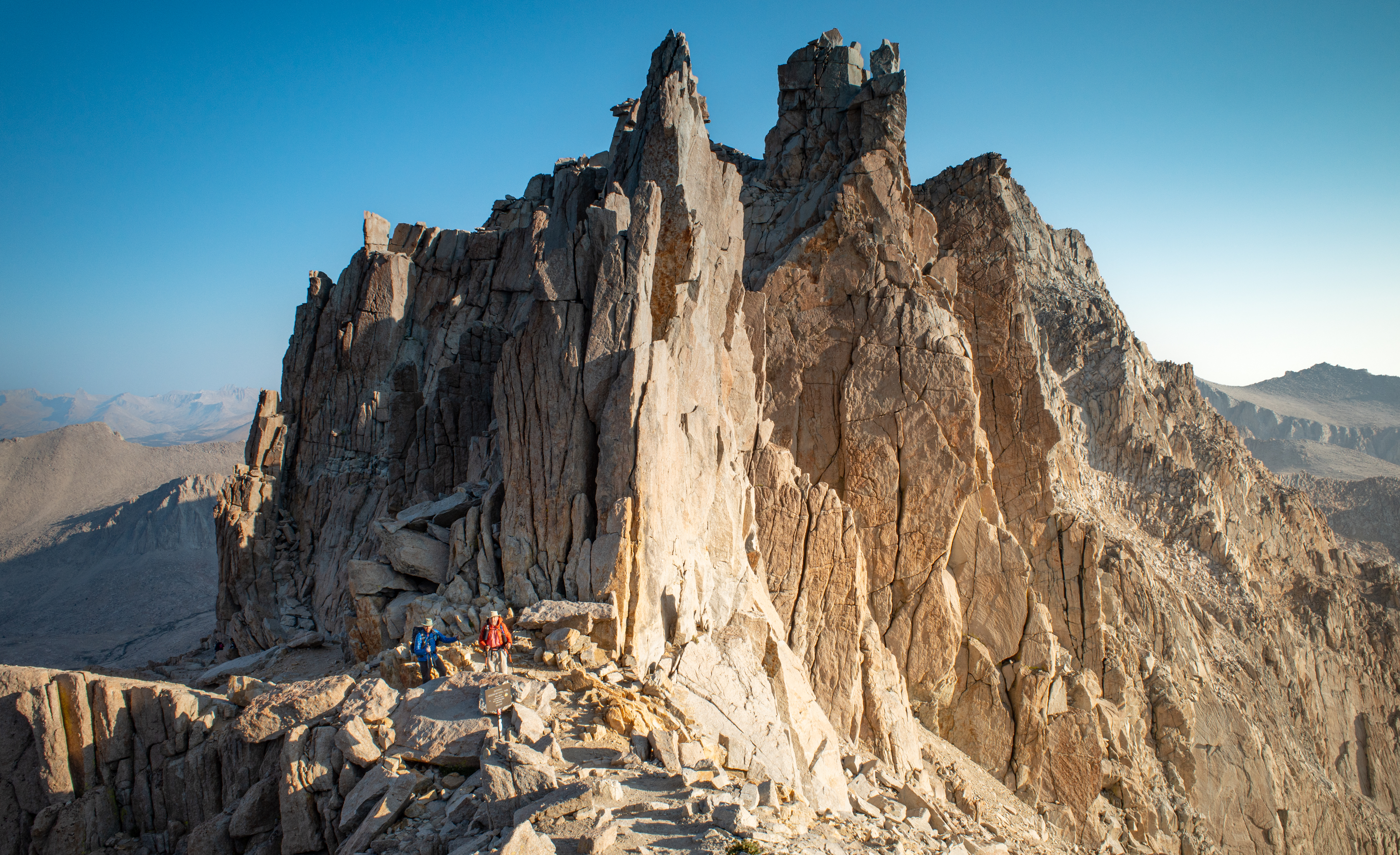
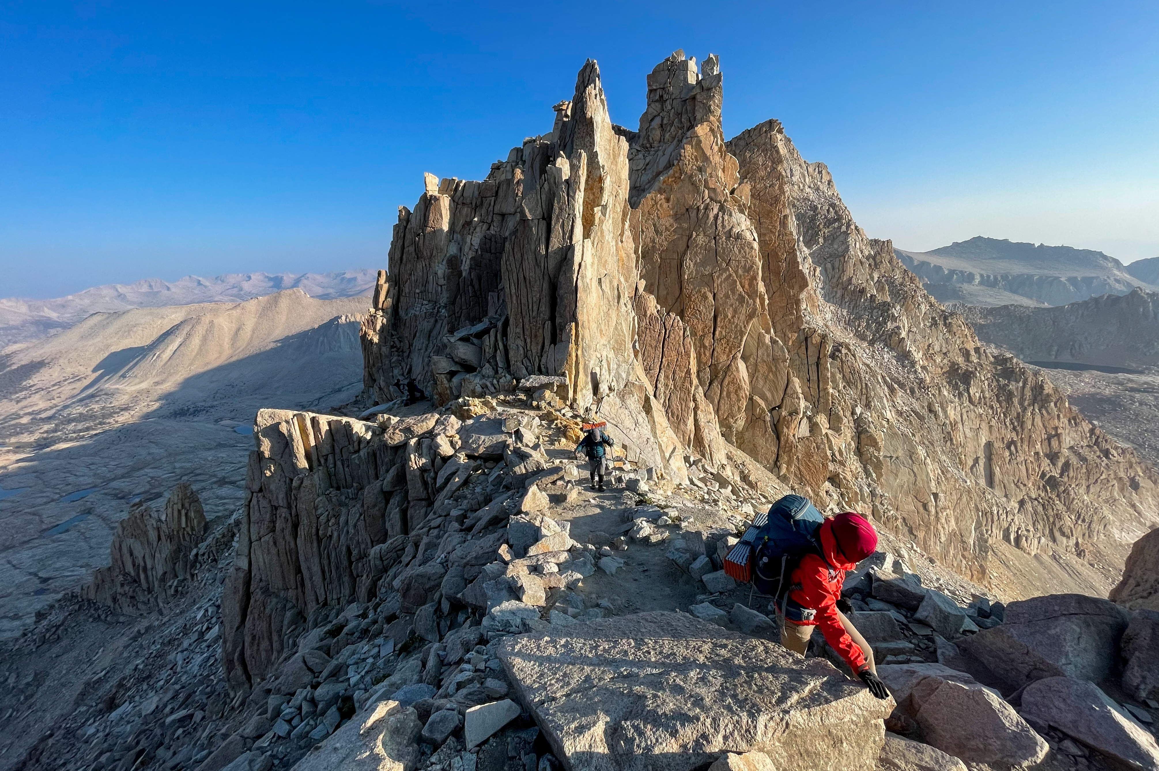
The descent from the summit to Trail Crest as the sun was rising was incredible, especially with the way the light illuminated the needles through the “windows” of Whitney.
-
Mount Whitney Needles -
Mount Whitney windows -
Mount Hitchcock Lakes -
Descending Mount Whitney

We again reached the junction with the John Muir Trail and picked up our bear cans. Oof. Our packs felt heavy again.
Just beyond the trail junction we reached Trail Crest – at 13,645′ it’s the highest trail pass in the United States, and the limit between Sequoia National Park and Inyo National Forest.
-
Francisco and my dad at Trail Crest -
Trail Crest
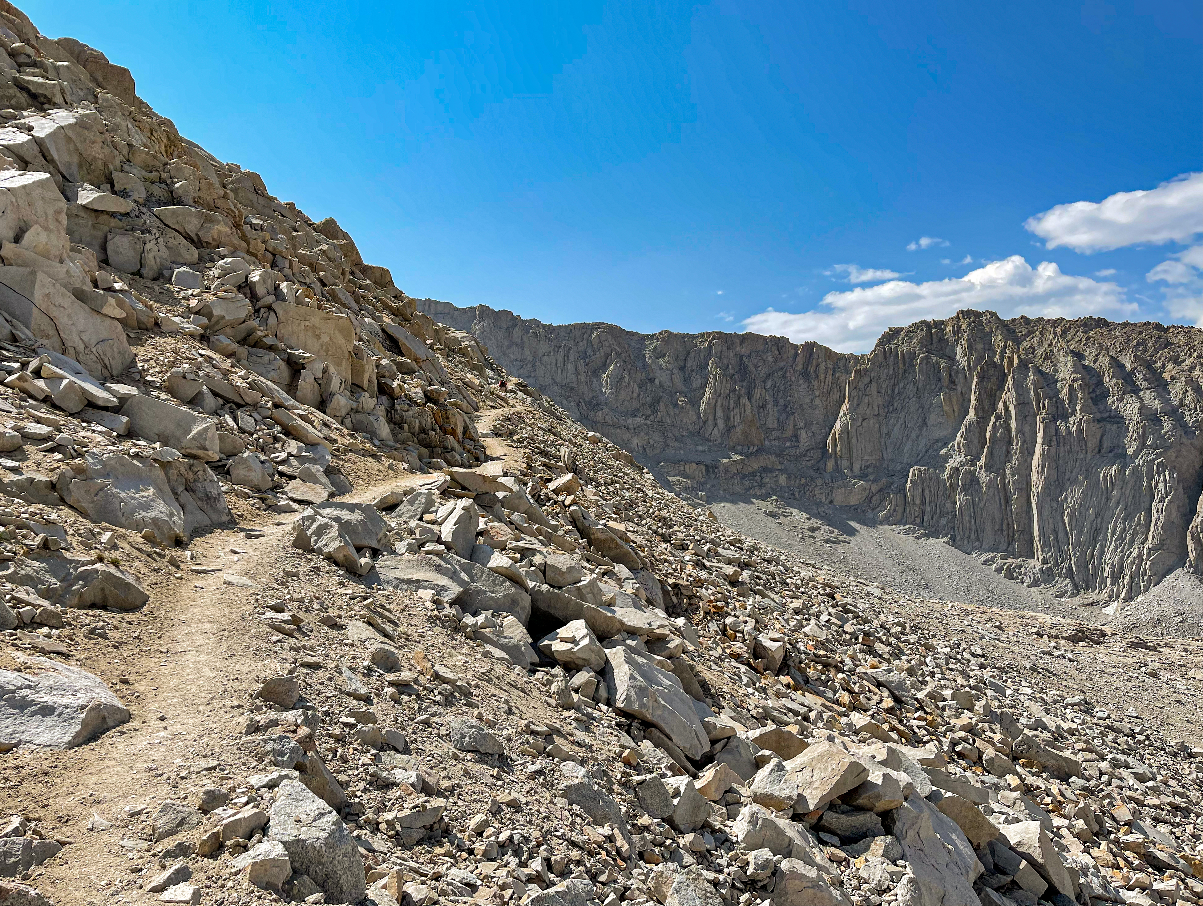
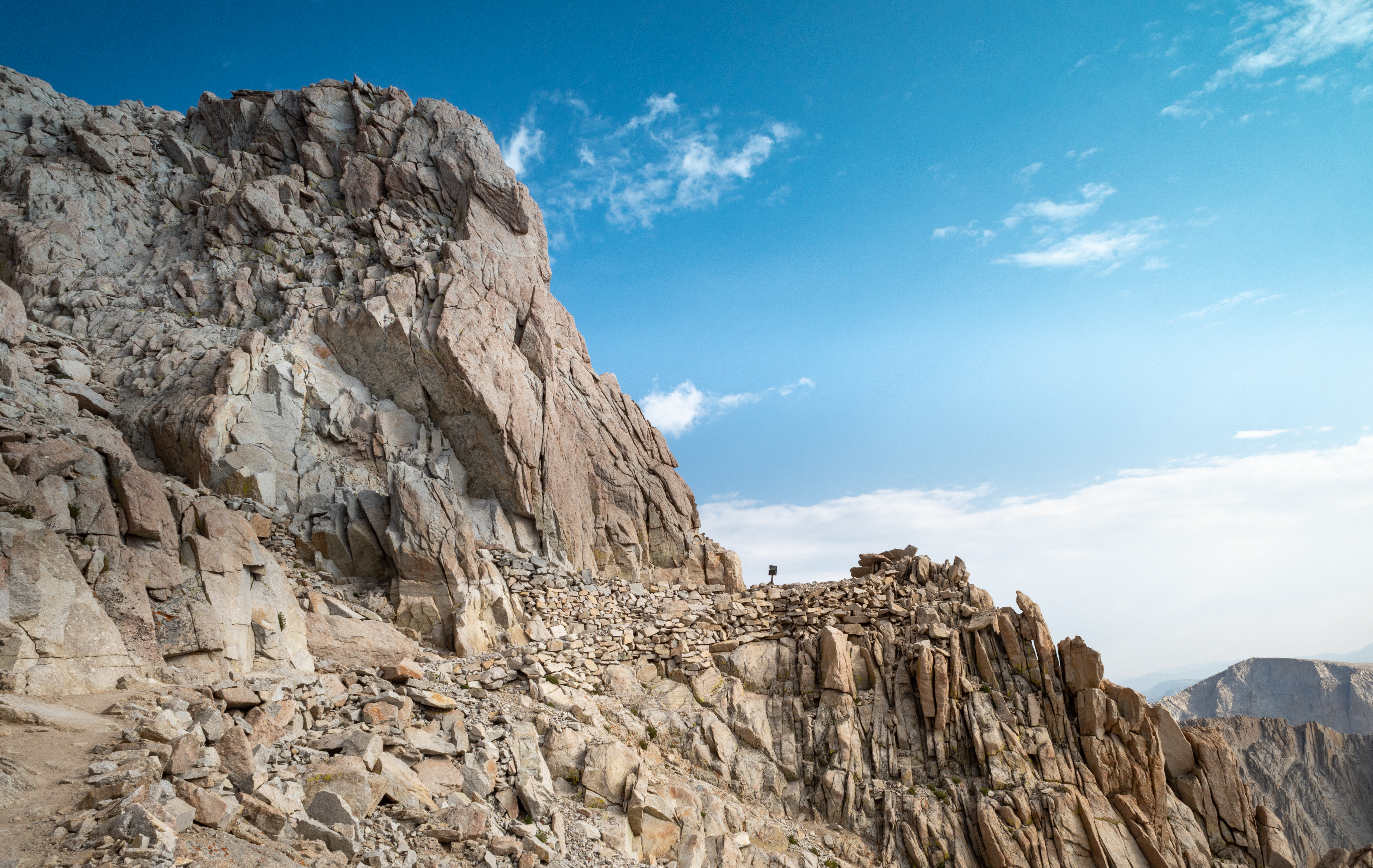
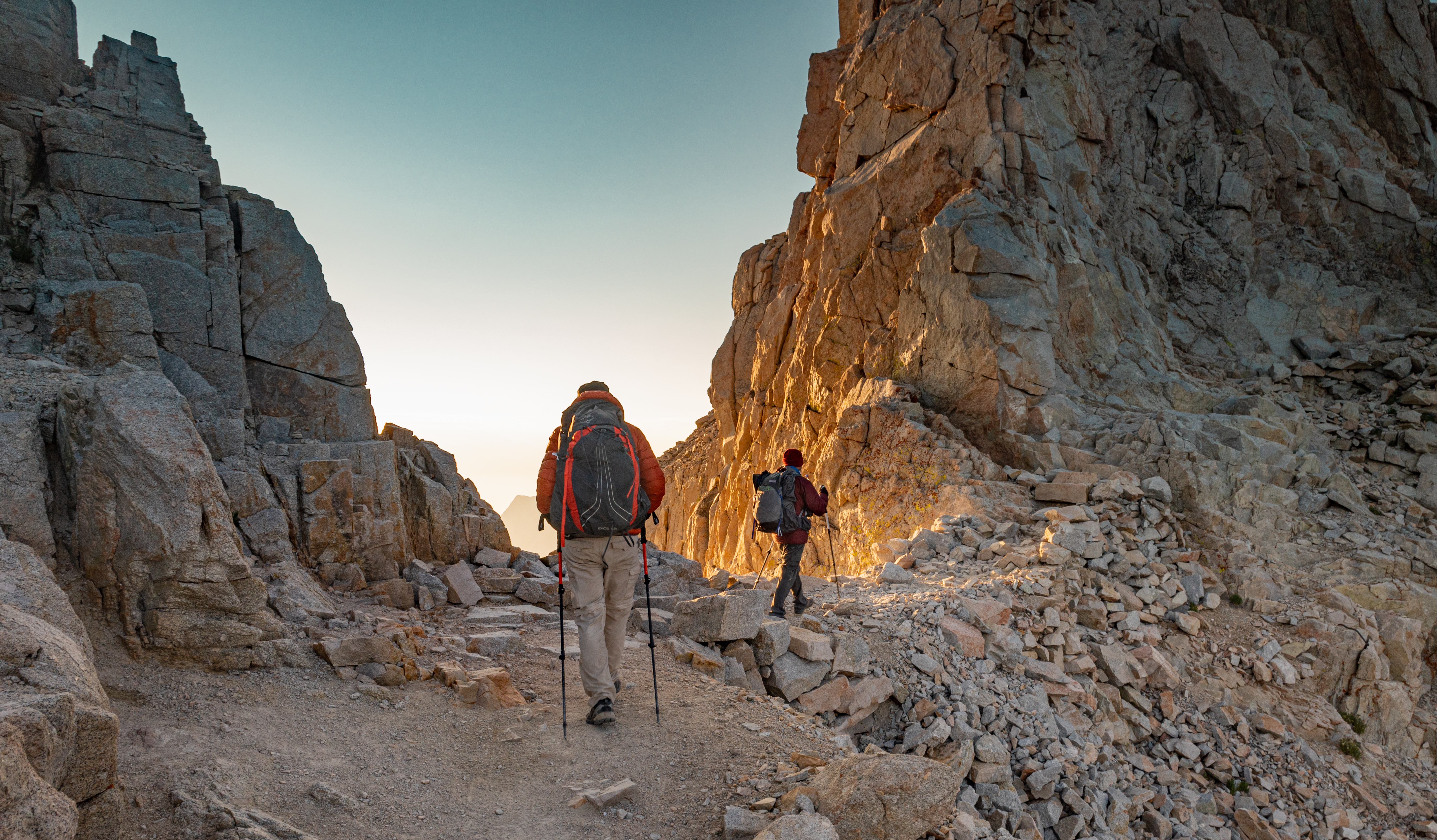
Just beyond Trail Crest is the start of the “99 switchbacks,” of which there are actually only 97 – I counted.
-
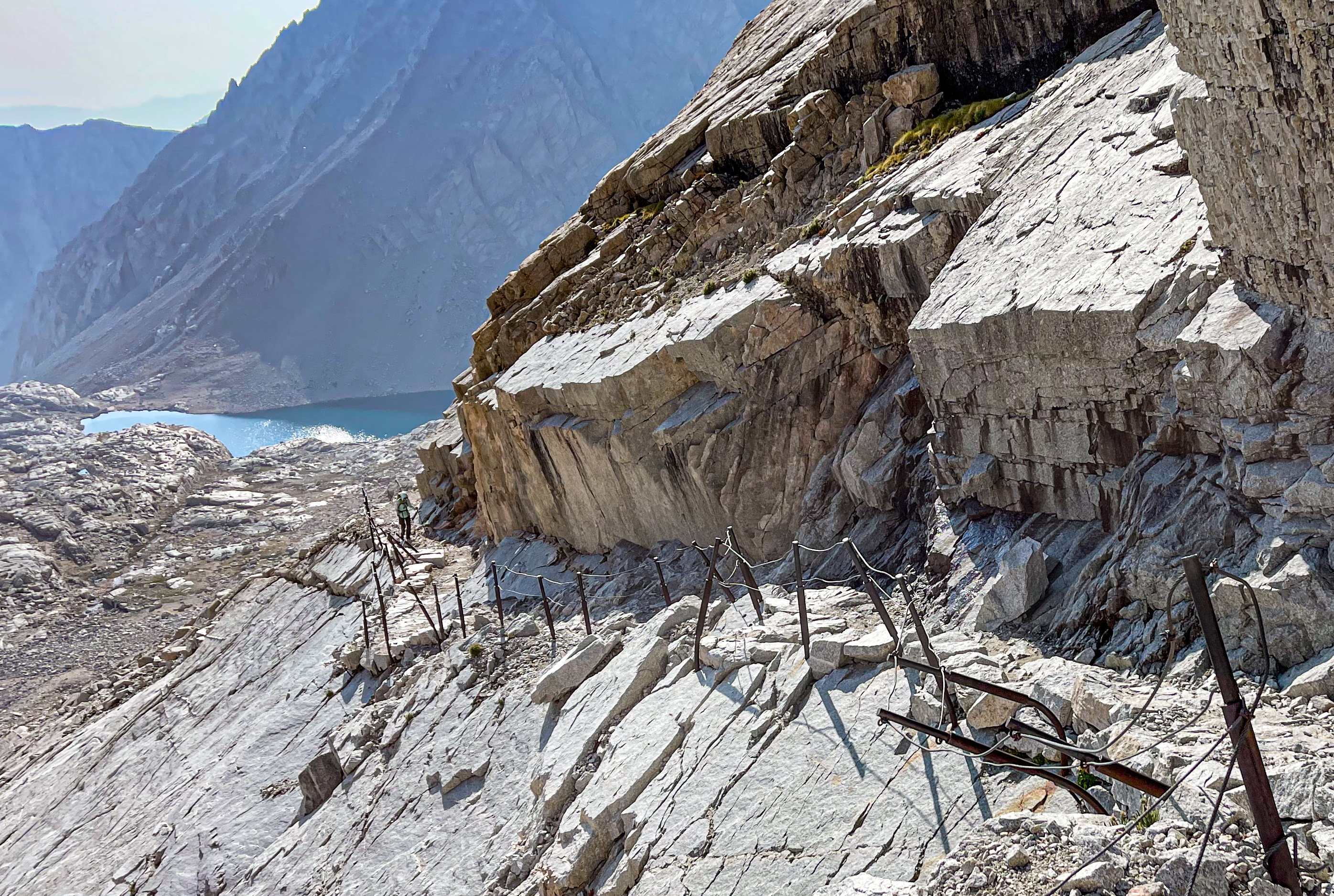
Cables on the 99 switchbacks -
Descending along the switchbacks -
Start of the 99 Switchbacks
After the switchbacks, the trail reaches Trail Camp, the first spot to resupply on water. The trail continues to descend past Mirror Lake and Outpost Camp, and vegetation increased as the elevation dropped.
-
Mt. Whitney Trail -
Mt. Whitney Trail -
Mt. Whitney Trail -
Approaching Whitney Portal -
Mt. Whitney Trail
Finally, we reached Whitney Portal – the end of our journey – where we celebrated with cheeseburgers, fries, beer, and ice cream.
Day 7 Journal
Day 7 – Woke up at 1:00am. Hit the trail at 2am. Left the bear cans at the JMT/Whitney Trail junction. Reached the Whitney summit at 4am and signed the register.
Sat down on the summit to watch the Perseids meteor shower. So many shooting stars! It was freezing cold so we wrapped ourselves in our sleeping bags. Still too cold, we took shelter in the Smithsonian Shelter to try to warm up a bit.
As the sun was beginning to rise, we went out to watch and get some photos. At this point, more people were showing up. Even before the sun rose, we turned back and began the ~11 mile hike down to Whitney Portal.
We picked up our bear cans, and now our packs were heavy again (I measured 26 pounds at Whitney Portal scale). The descent was long and hot. I counted the 99 switchbacks – there were only 97.
At the Portal, we had cheeseburgers, fries, beer, and ice cream. We went back to our hotel room and showered. So nice to be clean. Went to dinner at the Lone Pine BBQ place. Not the best, but it was food.
journal excerpt 8-13-21


