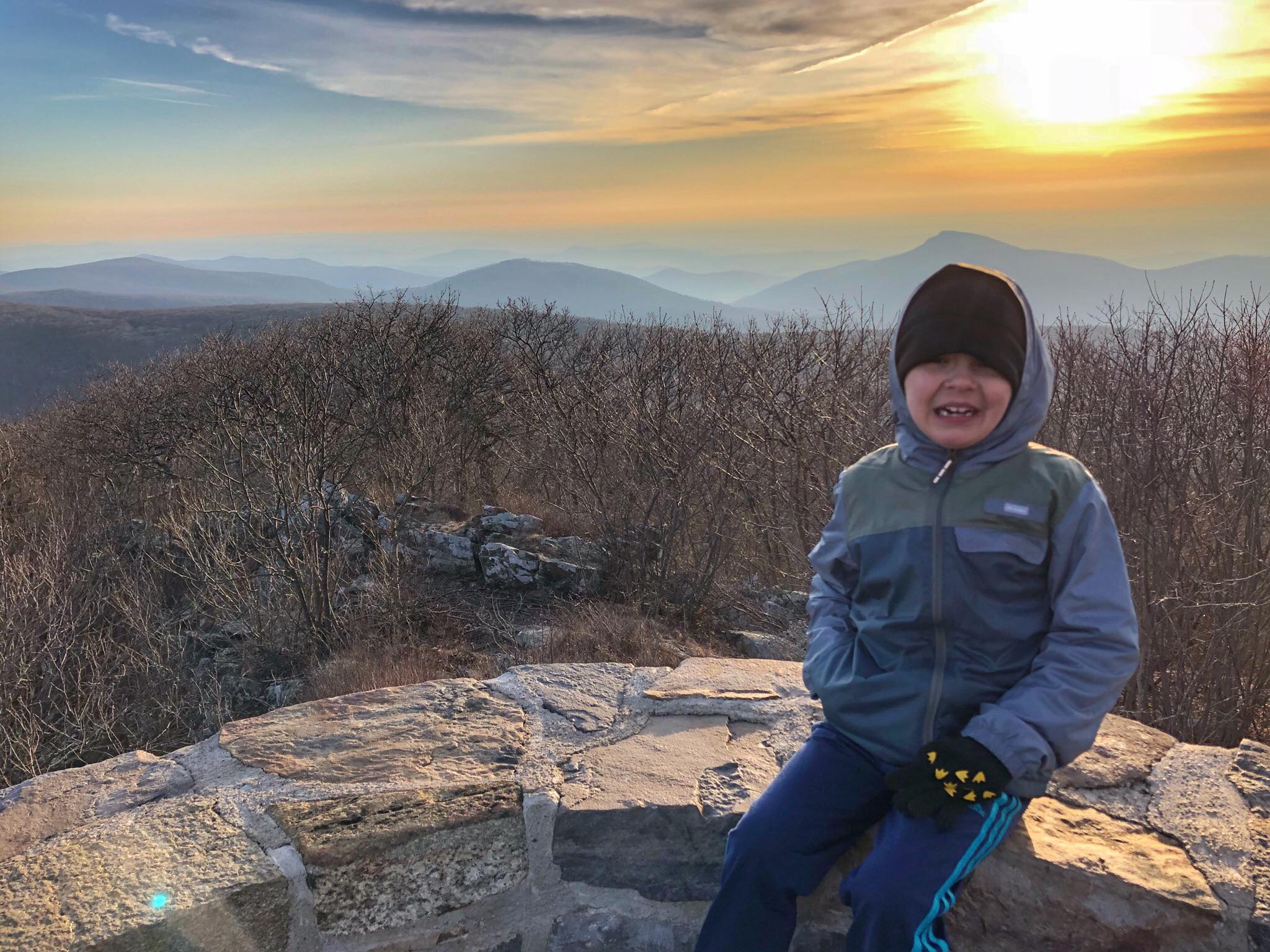
This steep and rocky 1.7 mile round-trip hike with 690 feet of elevation gain ends at the highest peak in Shenandoah National Park at 4,051 ft. Park at the Hawksbill Gap parking area at mile 45.5 and take the Lower Hawksbill Trail to Byrds Nest 2 Shelter, then follow the trail to the observation platform for a spectacular view. See a trail map of the area.
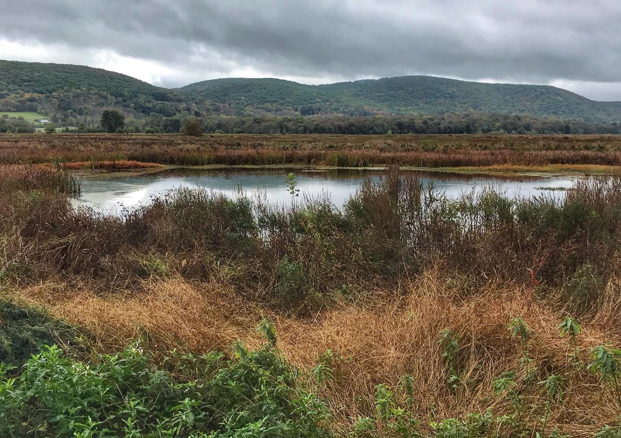
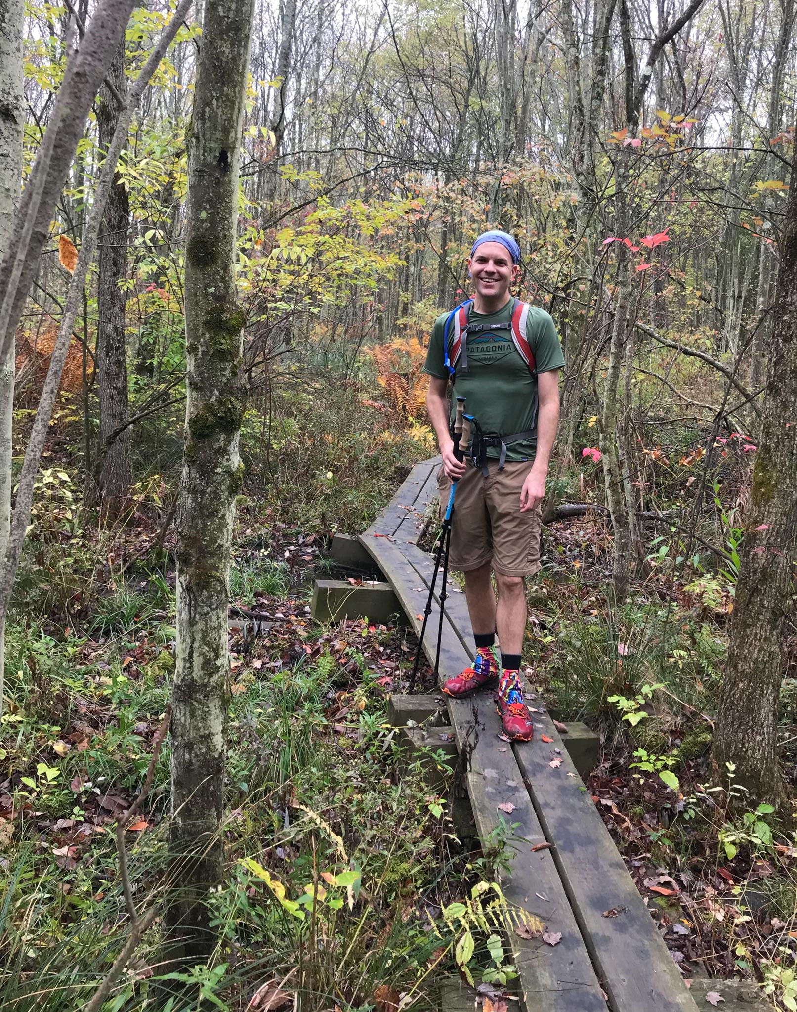
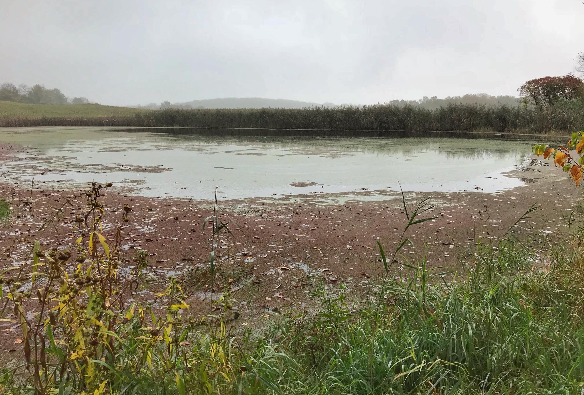
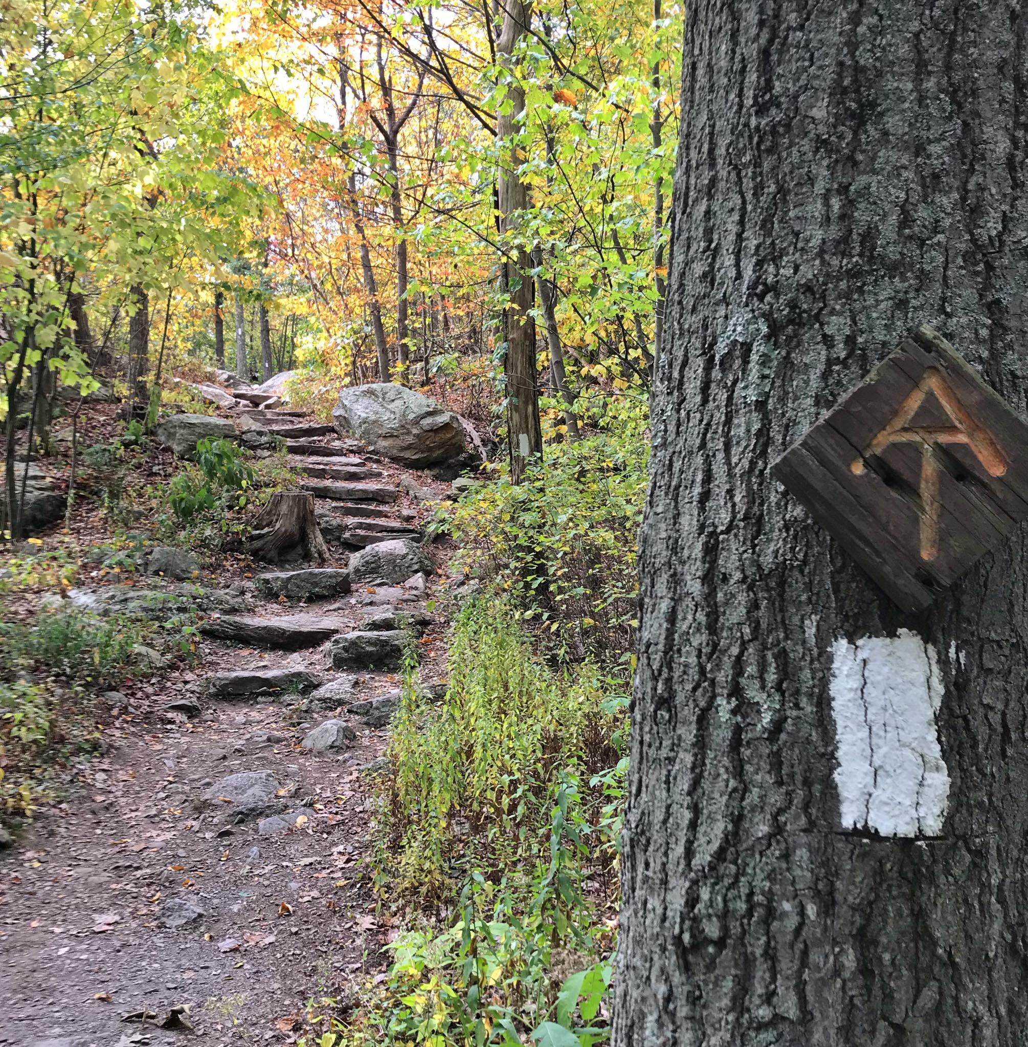
This 21 mile hike crosses the "drowned lands" of New Jersey from High Point State Park (NJ-23) to Rt 94 in Vernon at the base of Wawayanda Mountain. Highlights include the Pochuck Boardwalk and Wallkill River National Wildlife Refuge - the only refuge crossed by the Appalachian Trail. This section briefly crosses the NJ/NY border and features dozens of puncheon to cross the marshy ground.
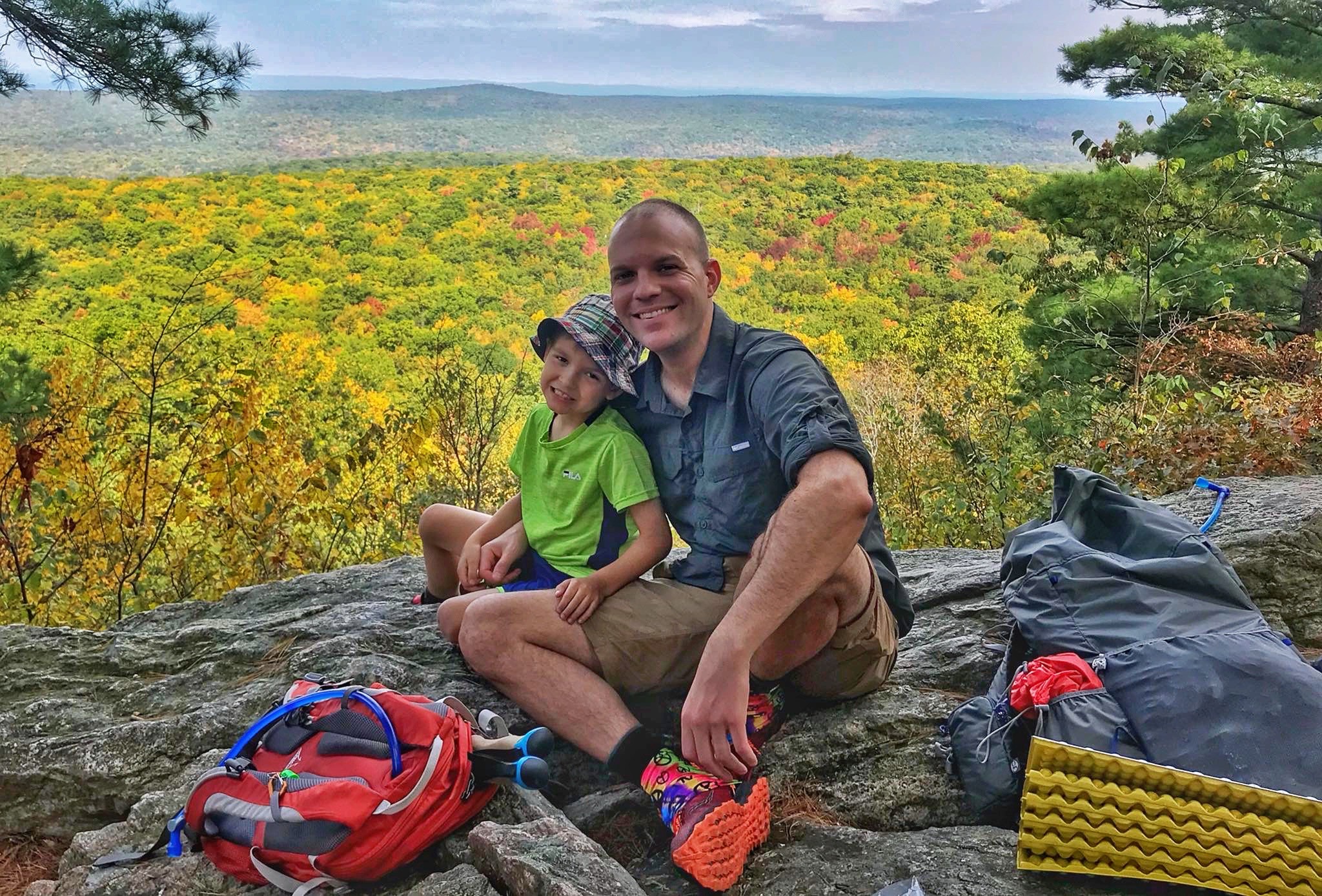
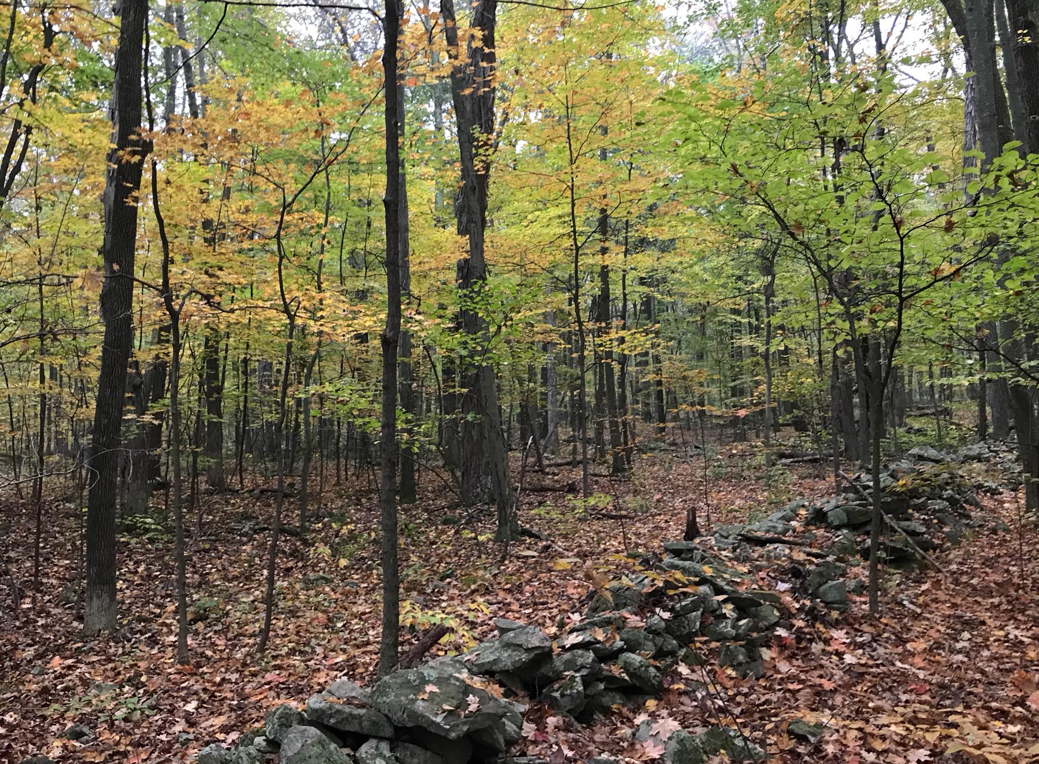
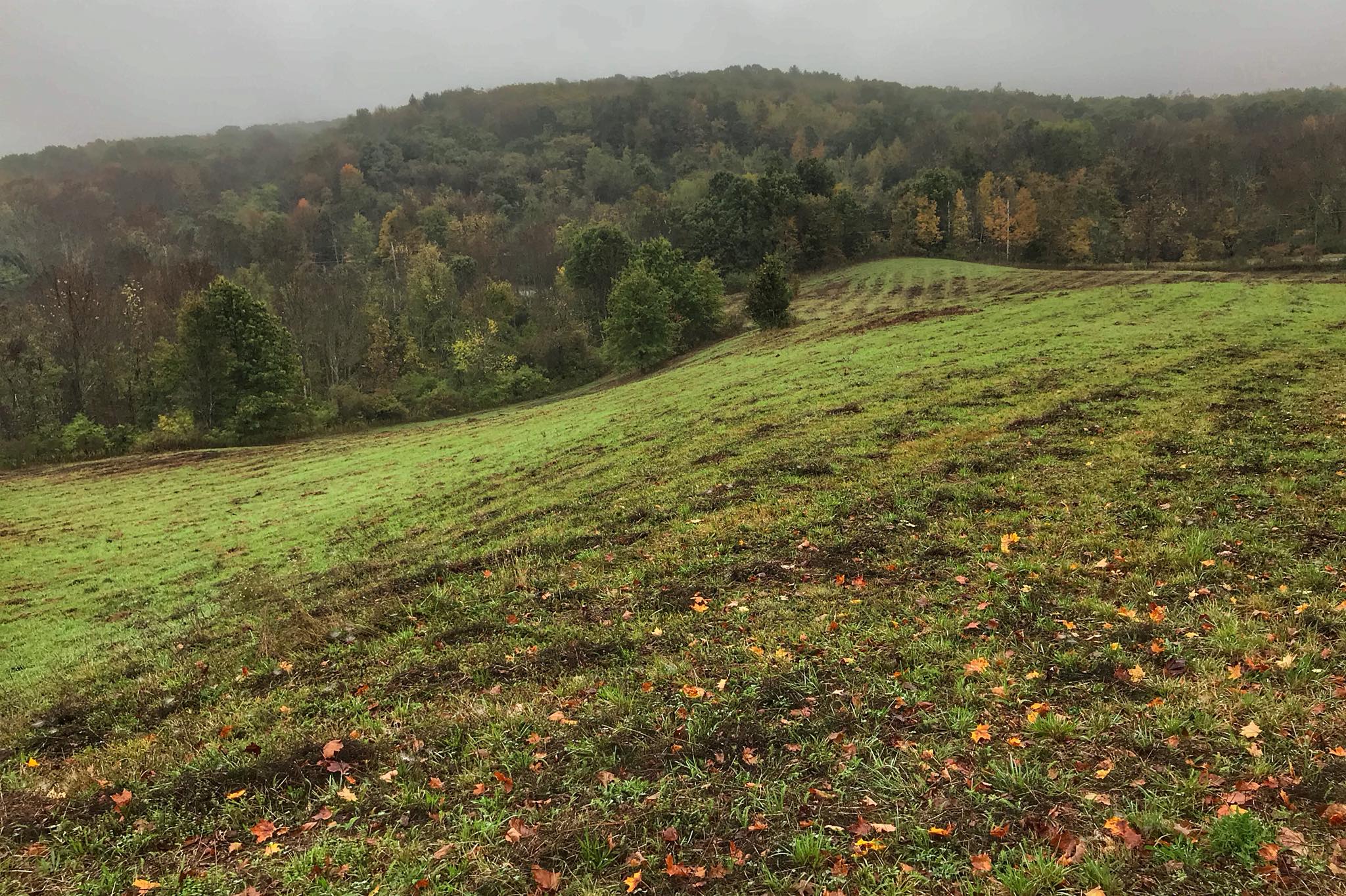
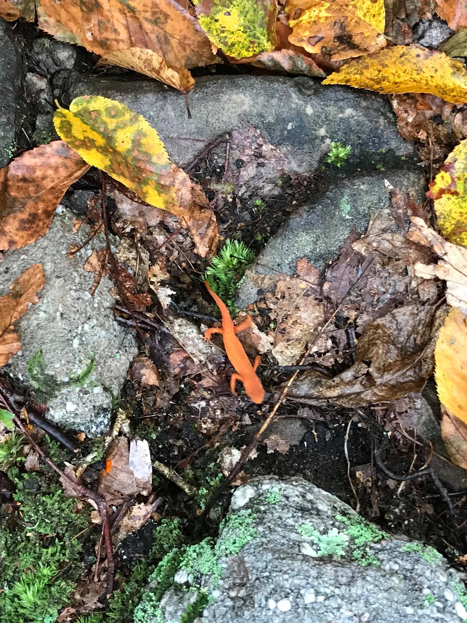
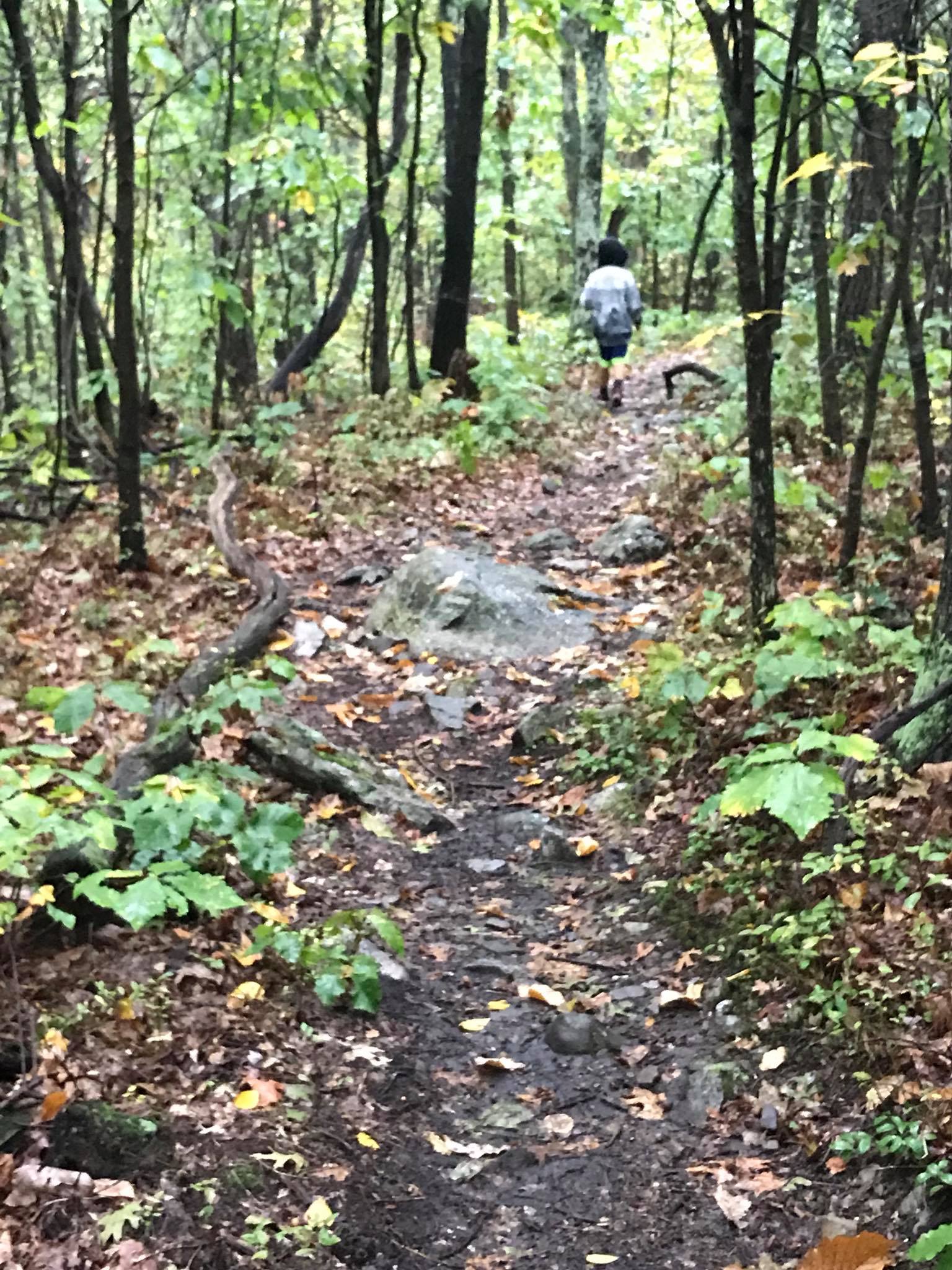
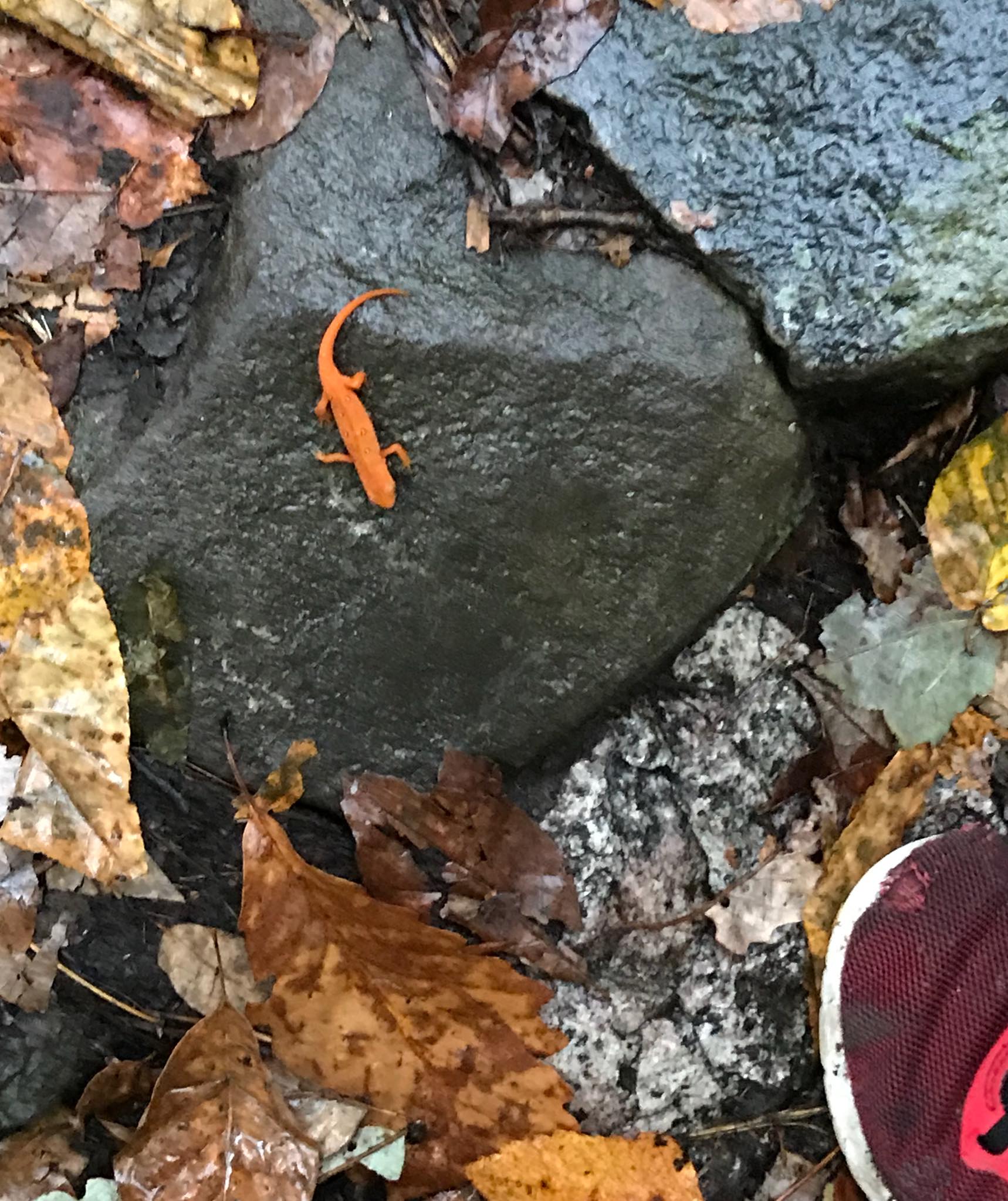
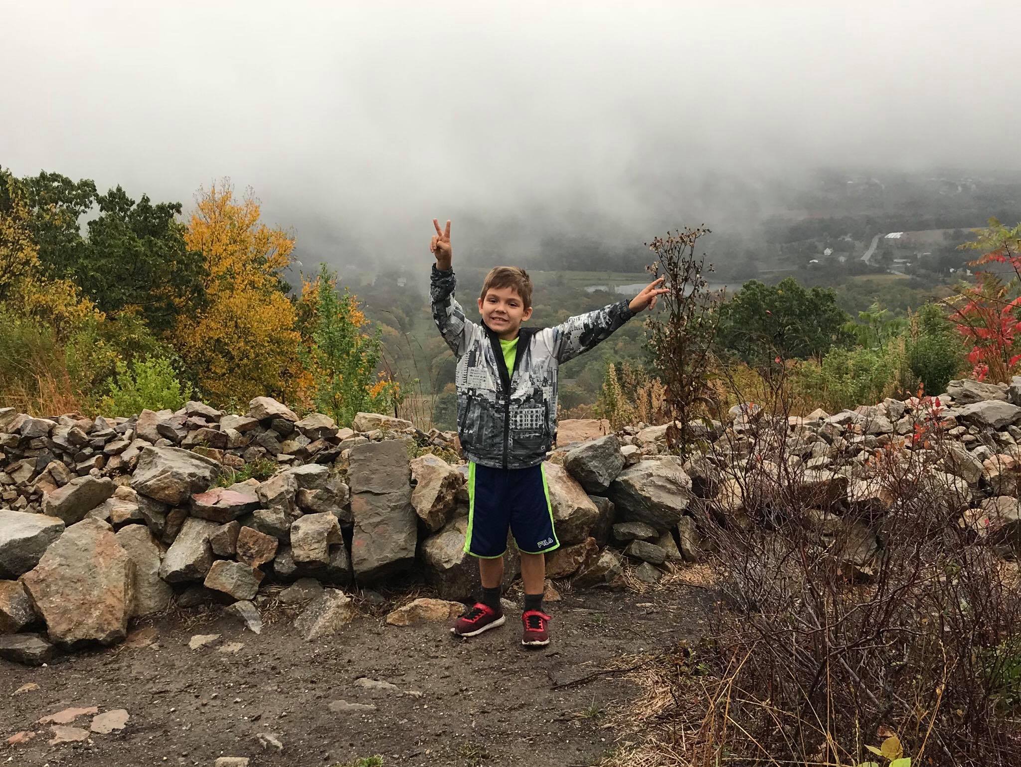
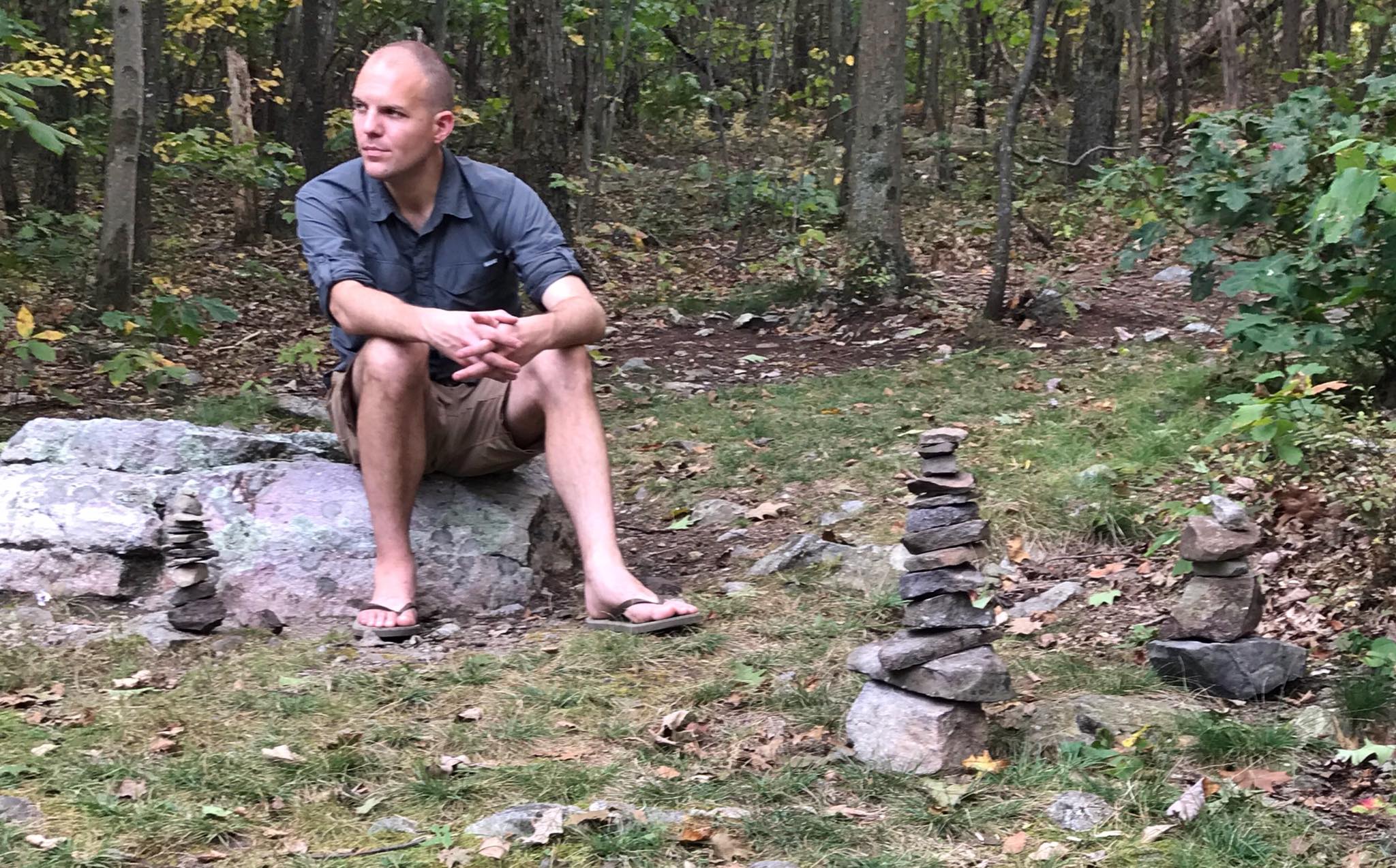
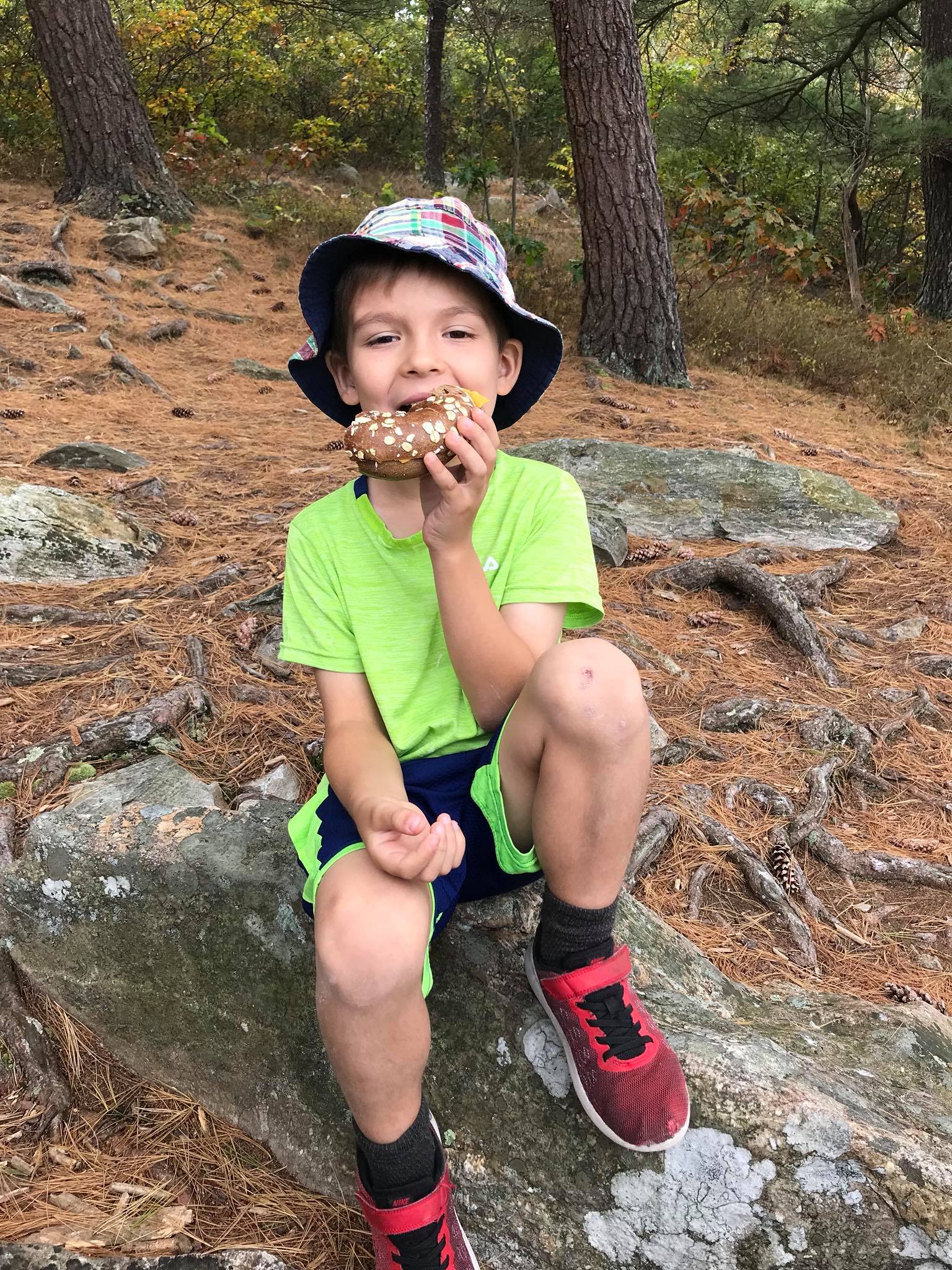
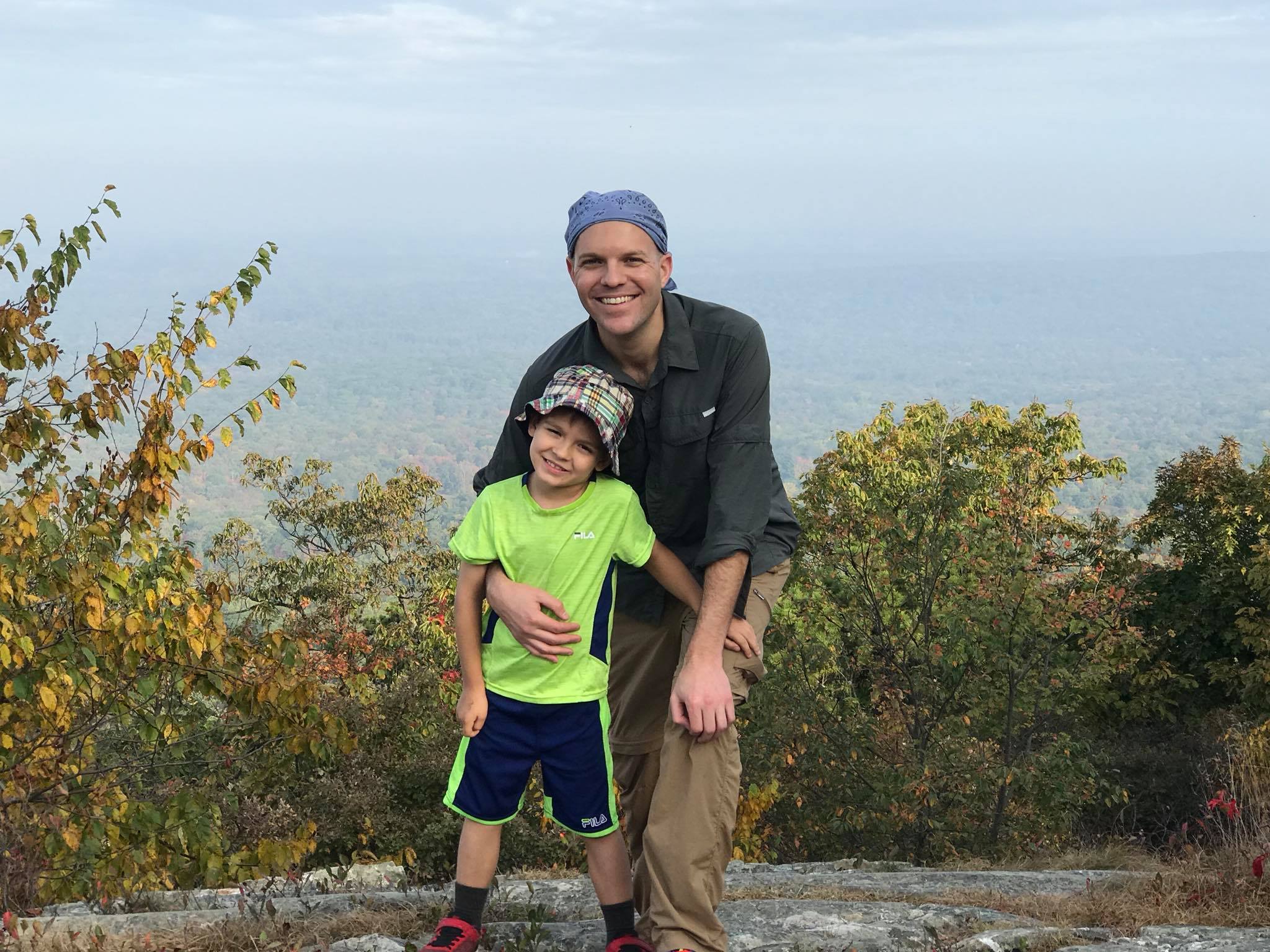
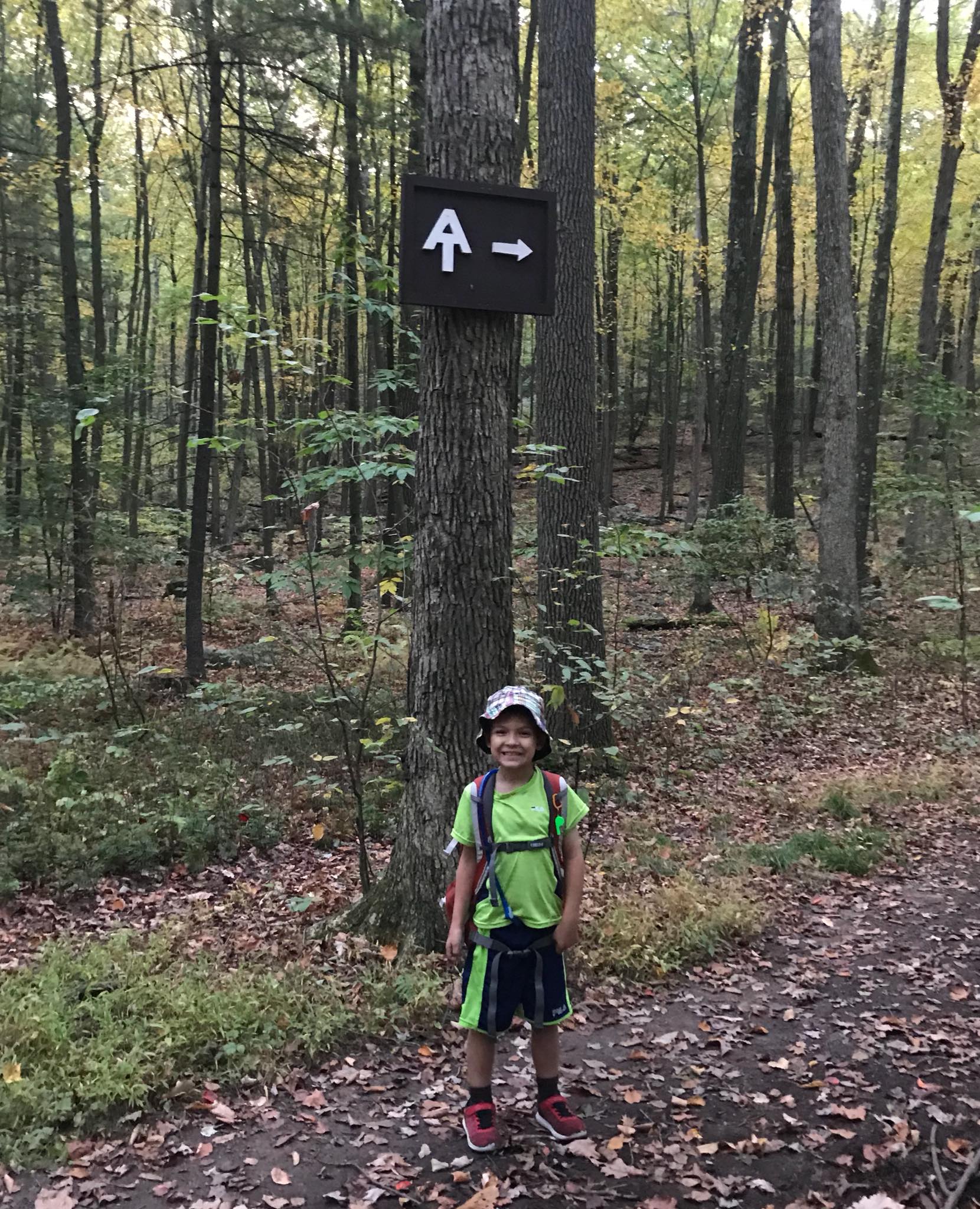
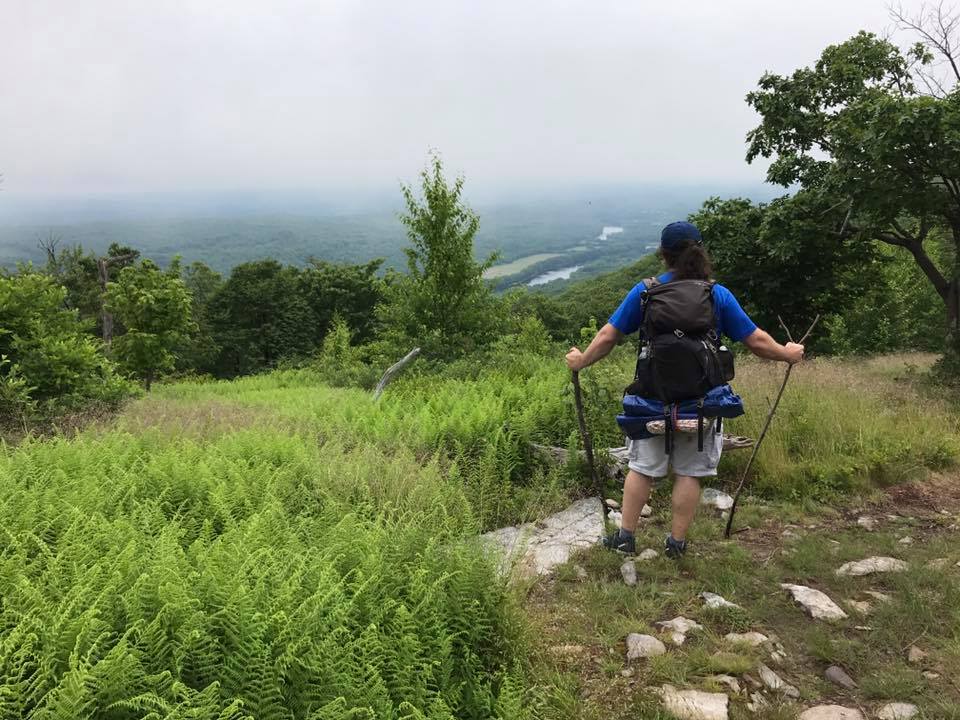
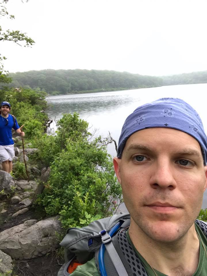
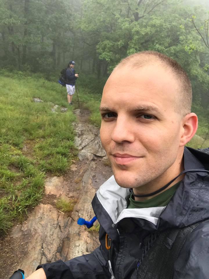
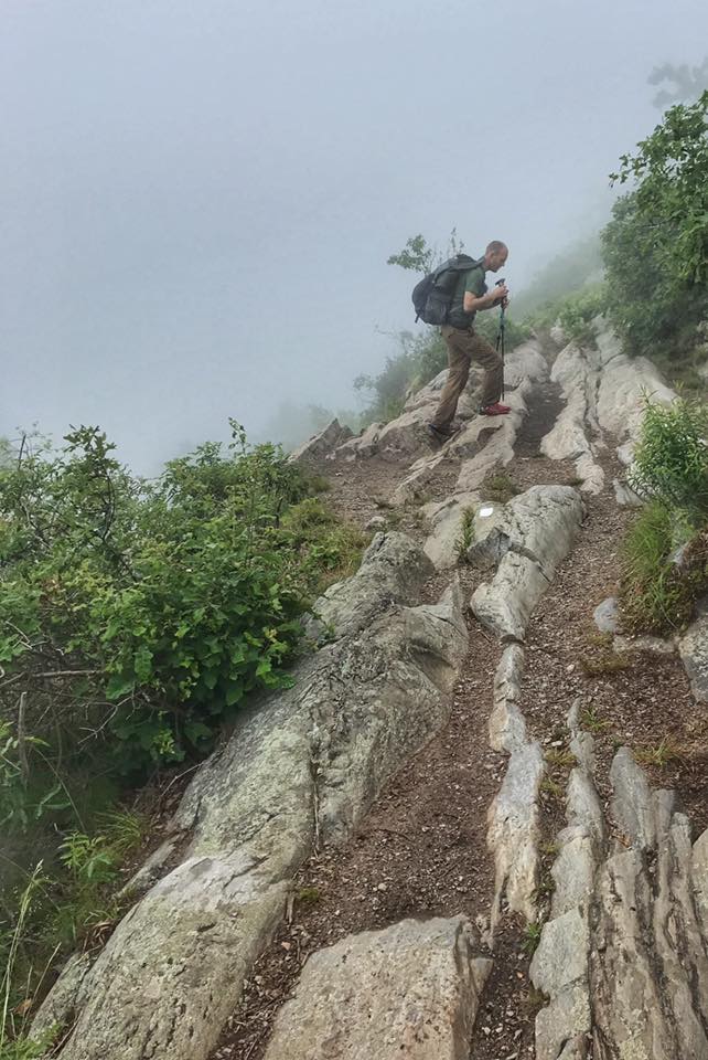
I backpacked this 15 mile section with my 5 year old son in 2017. We stayed at the Mashipacong Shelter, where apparently local pizza places will deliver (pick up at the Deckertown Turnpike 500 ft away). It rained the second day, which brought out dozens of Eastern (red-spotted) Newts. The section follows the Kittatinny Ridge through High Point State Park and Stokes Forest with many great views. It passes Sunrise Mountain and the Culver Fire Tower. Alternate: If 15 miles is too much for you, check out this shorter 7 mile overnight hike that also includes Sunrise Mountain and Culver Fire Tower.
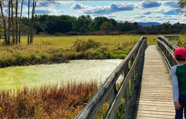
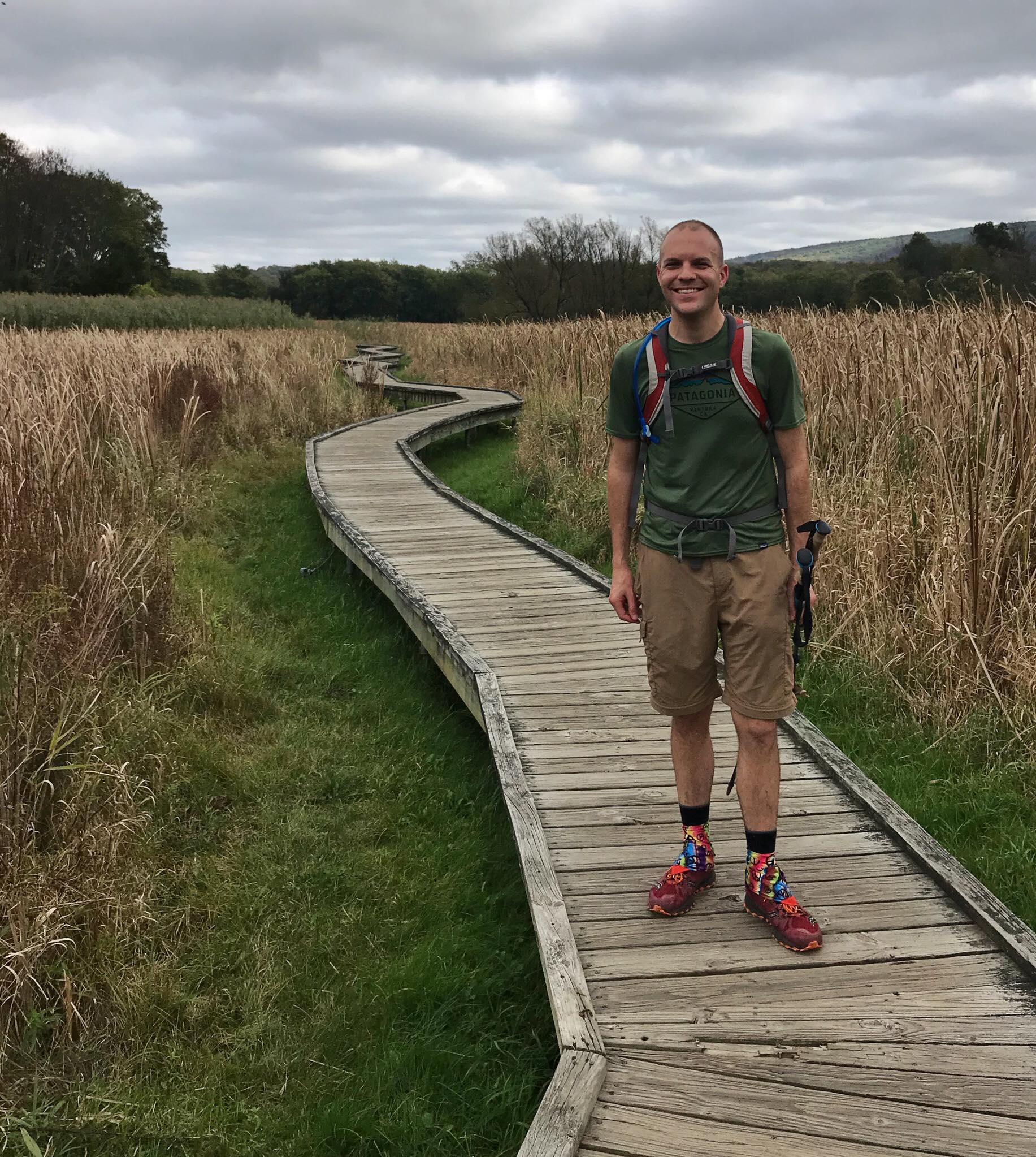
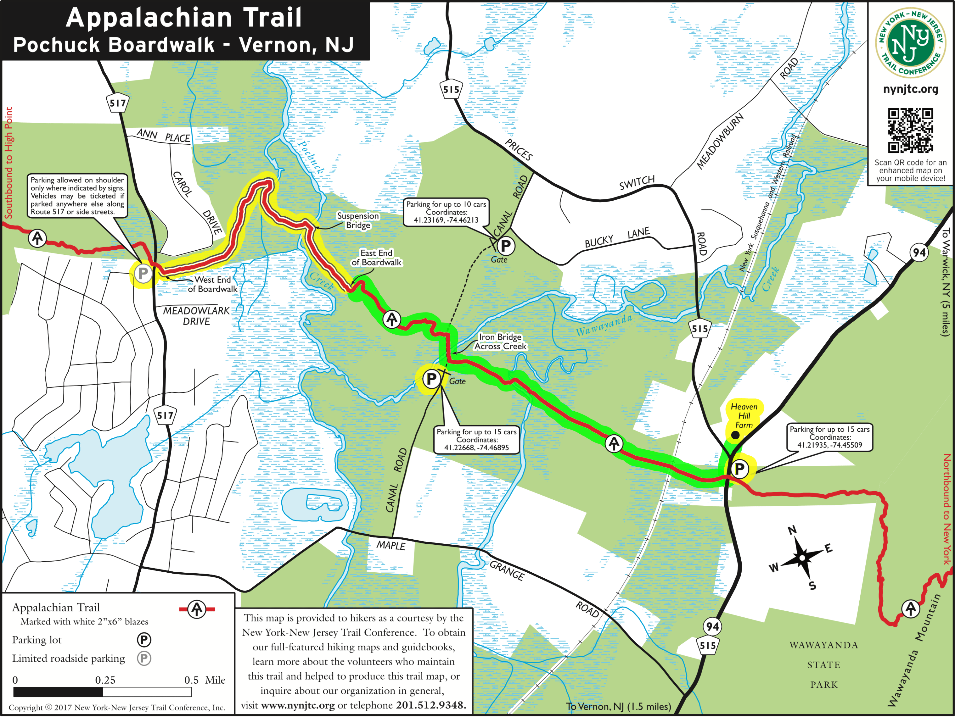
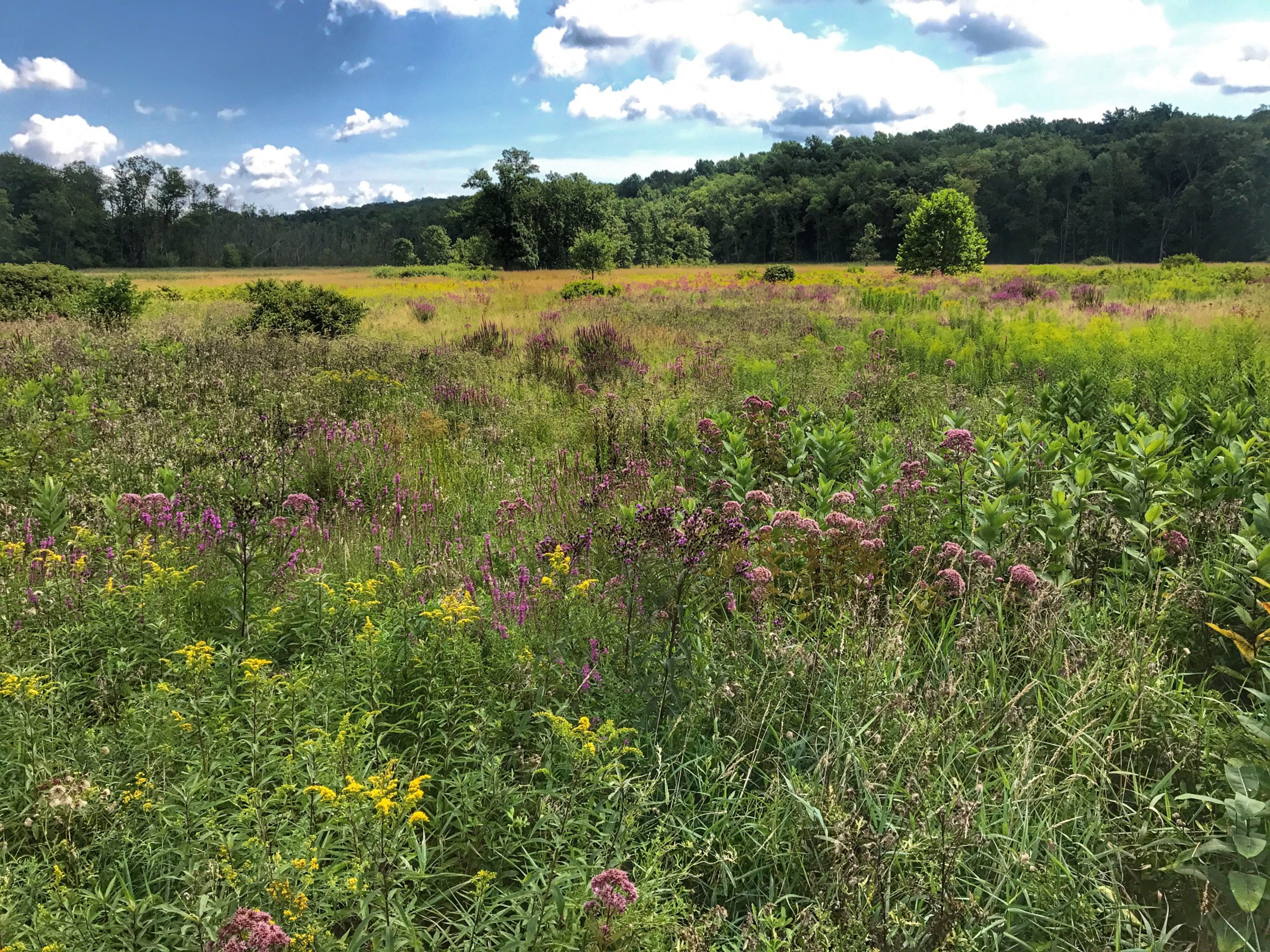
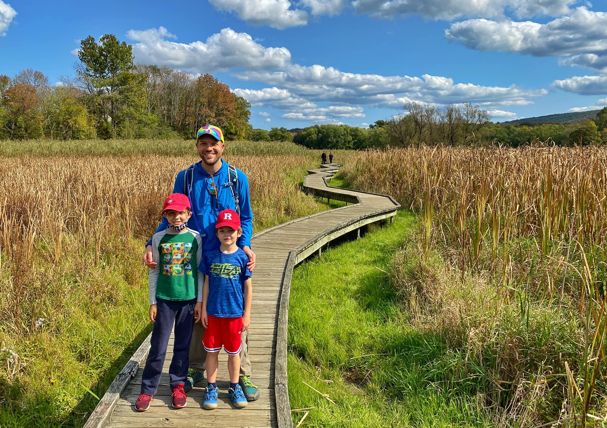
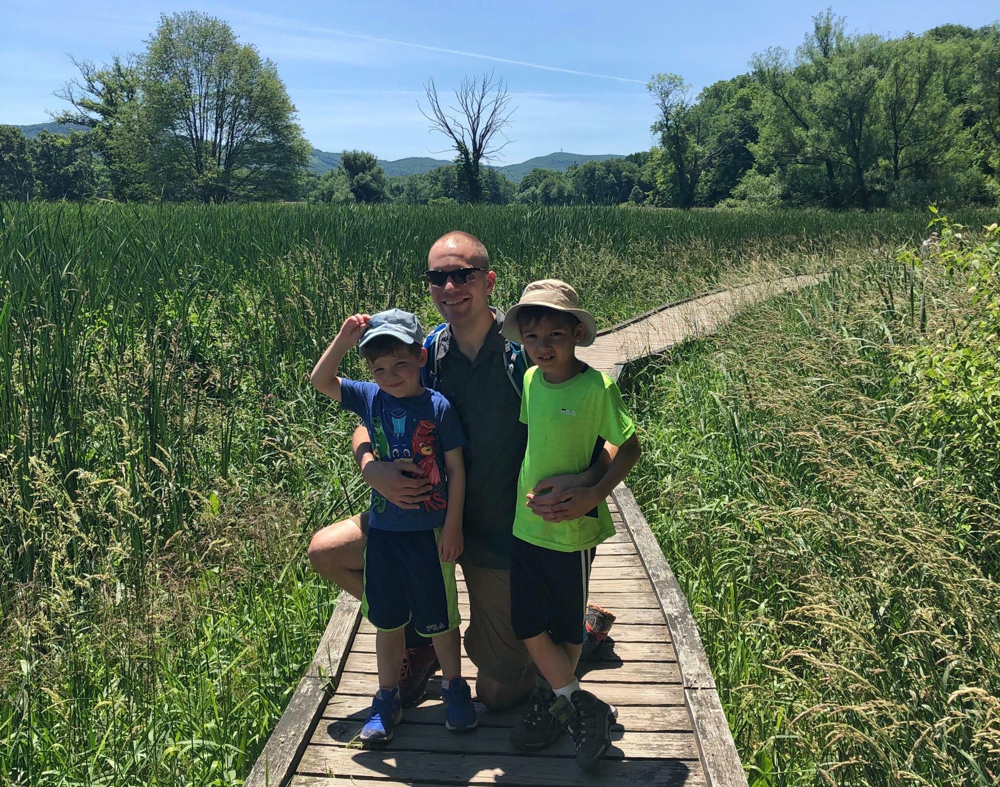
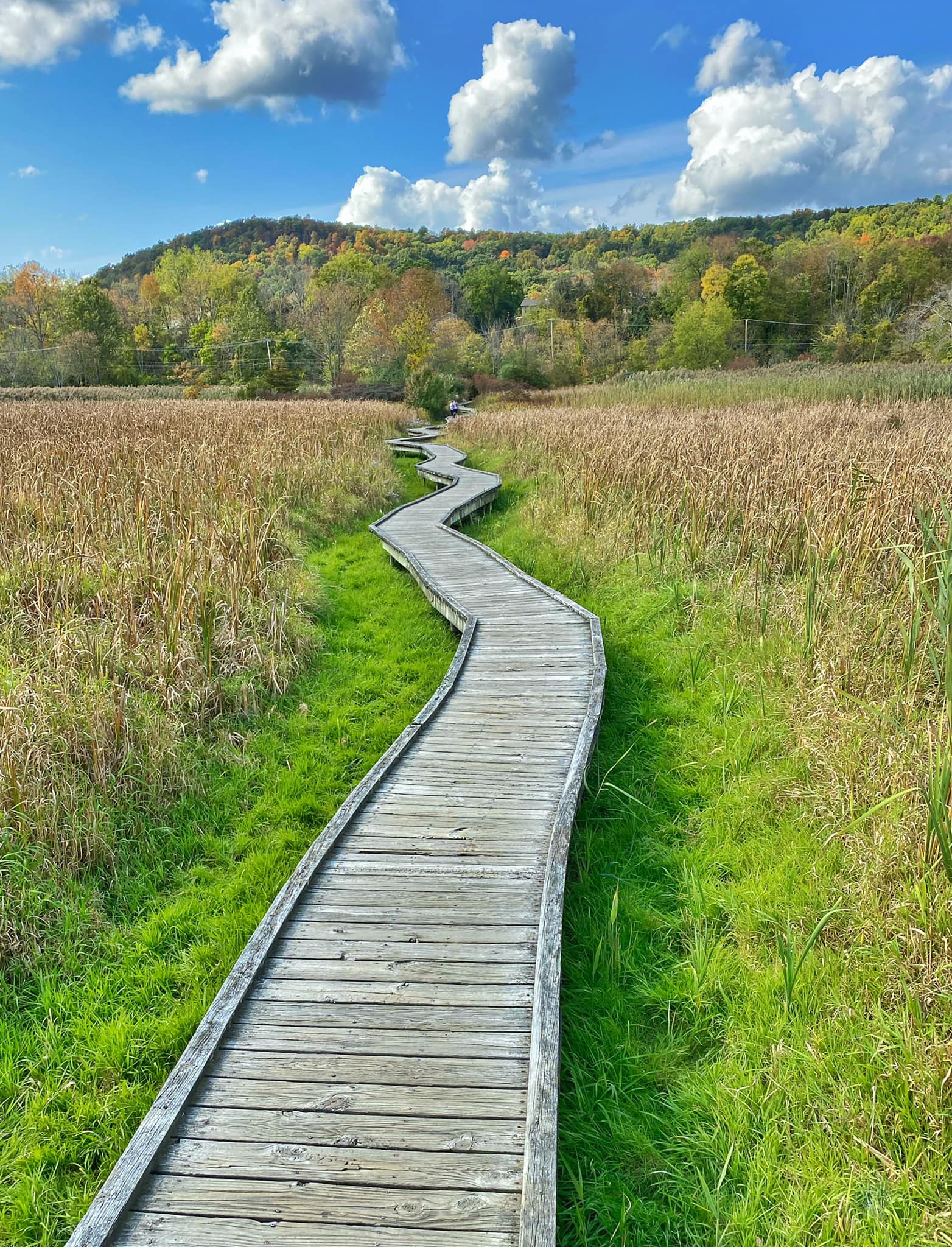
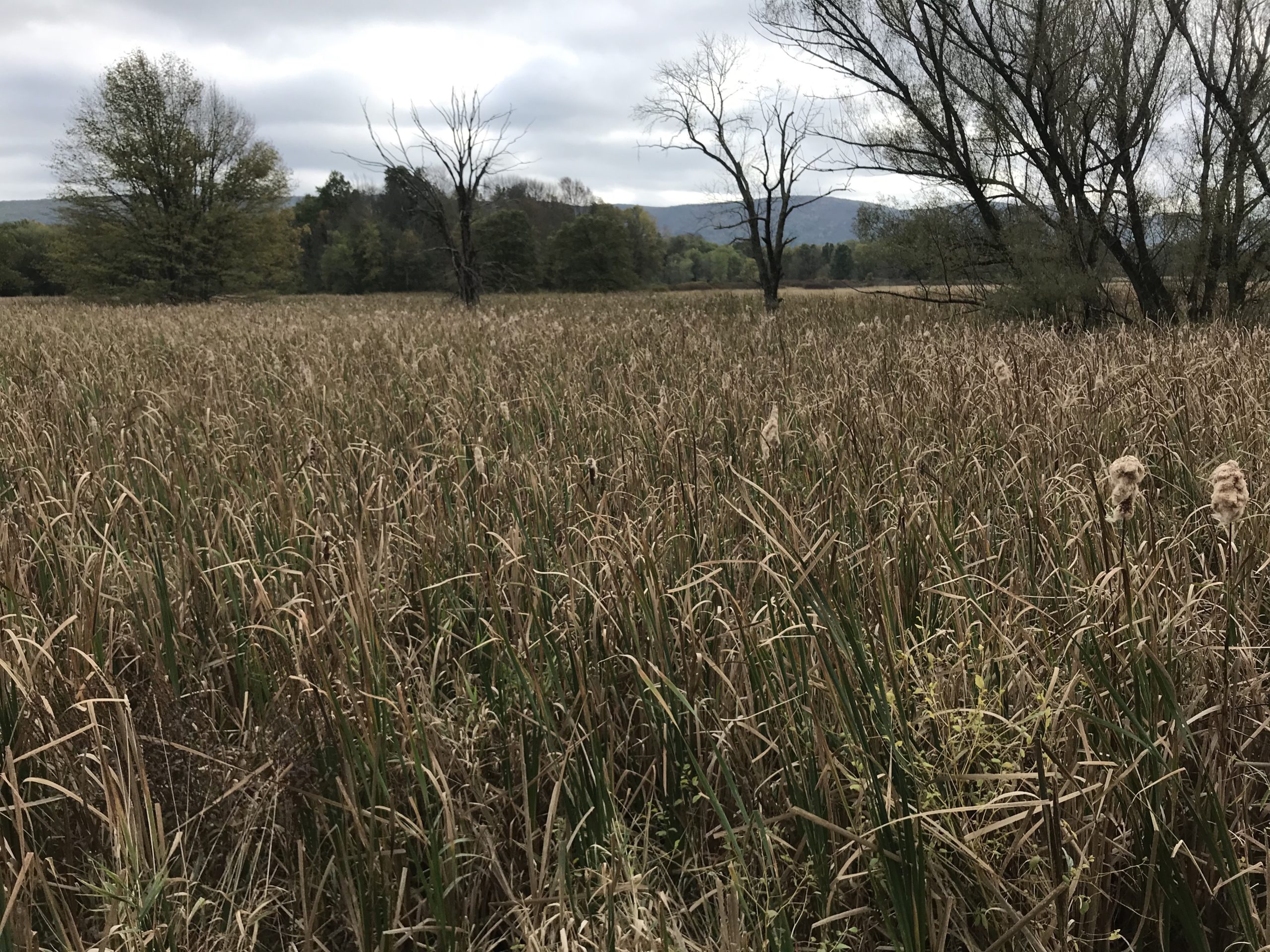
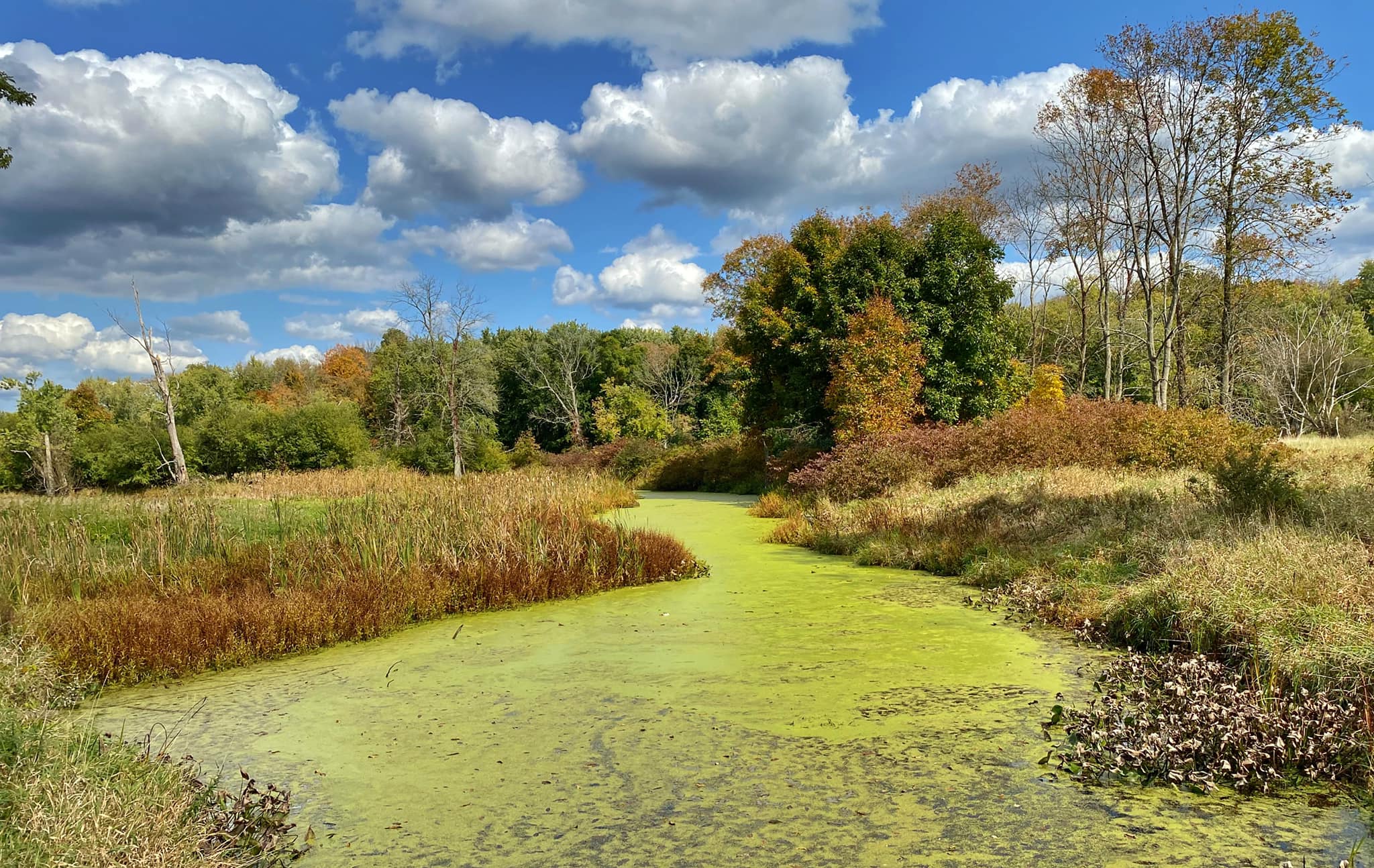
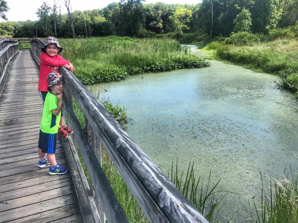
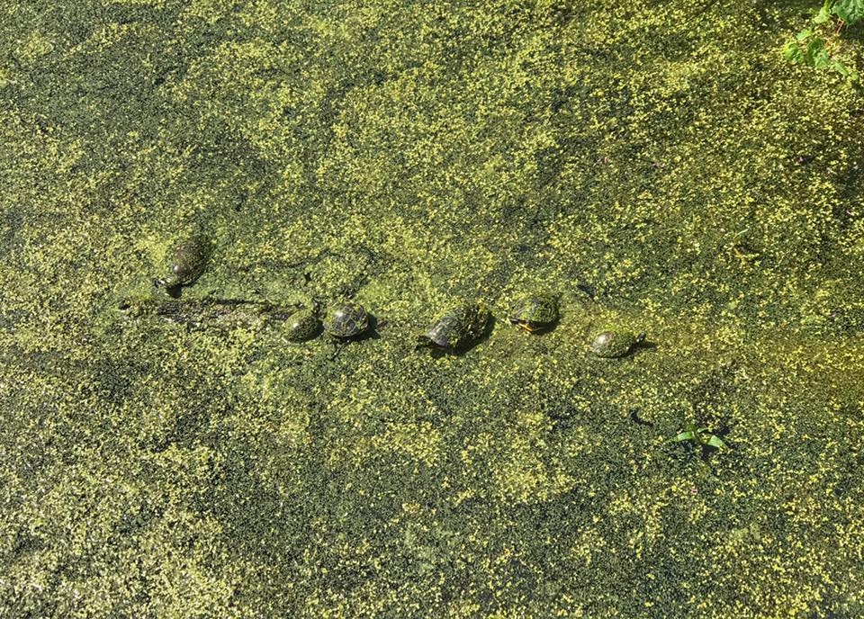
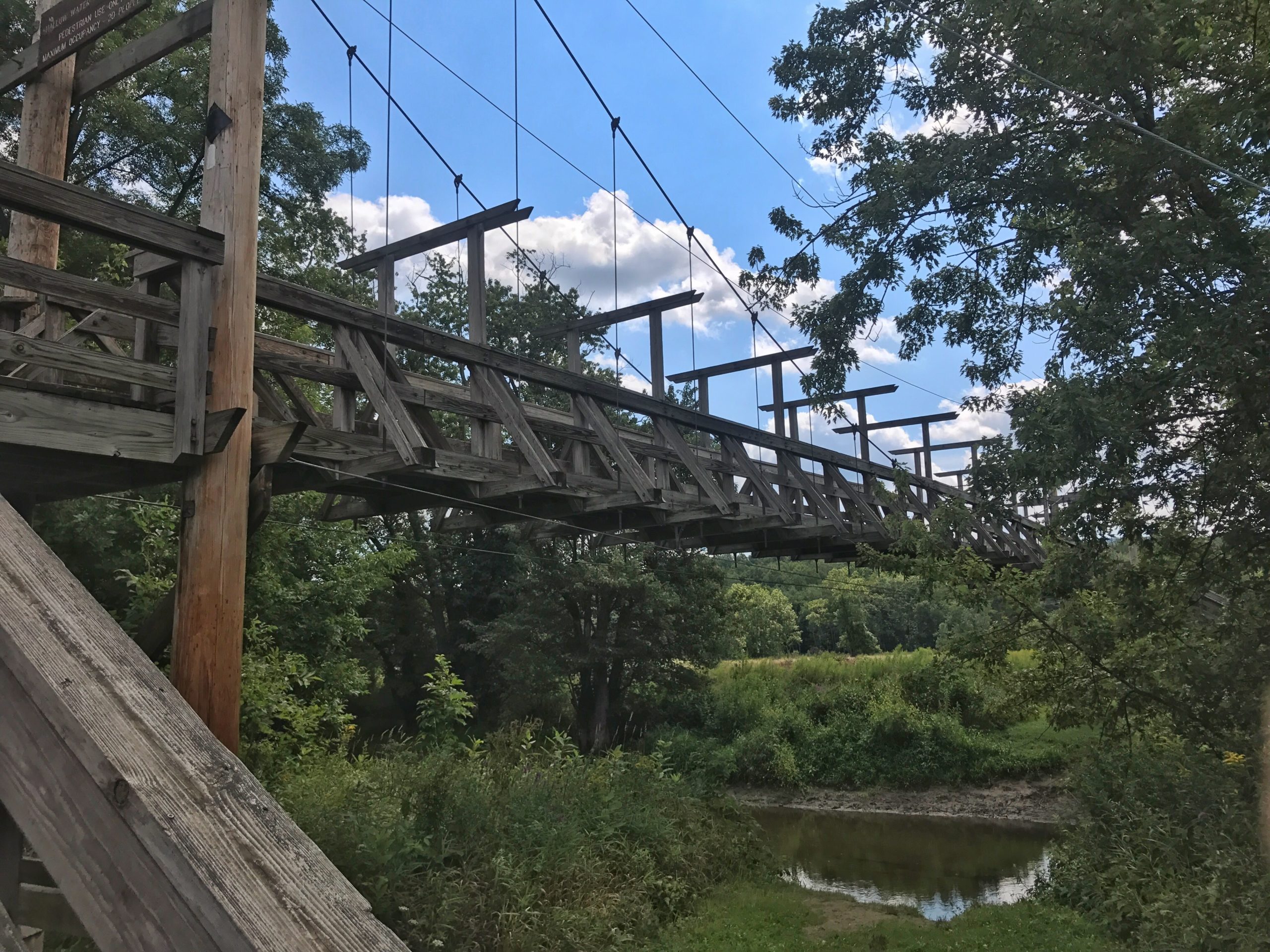
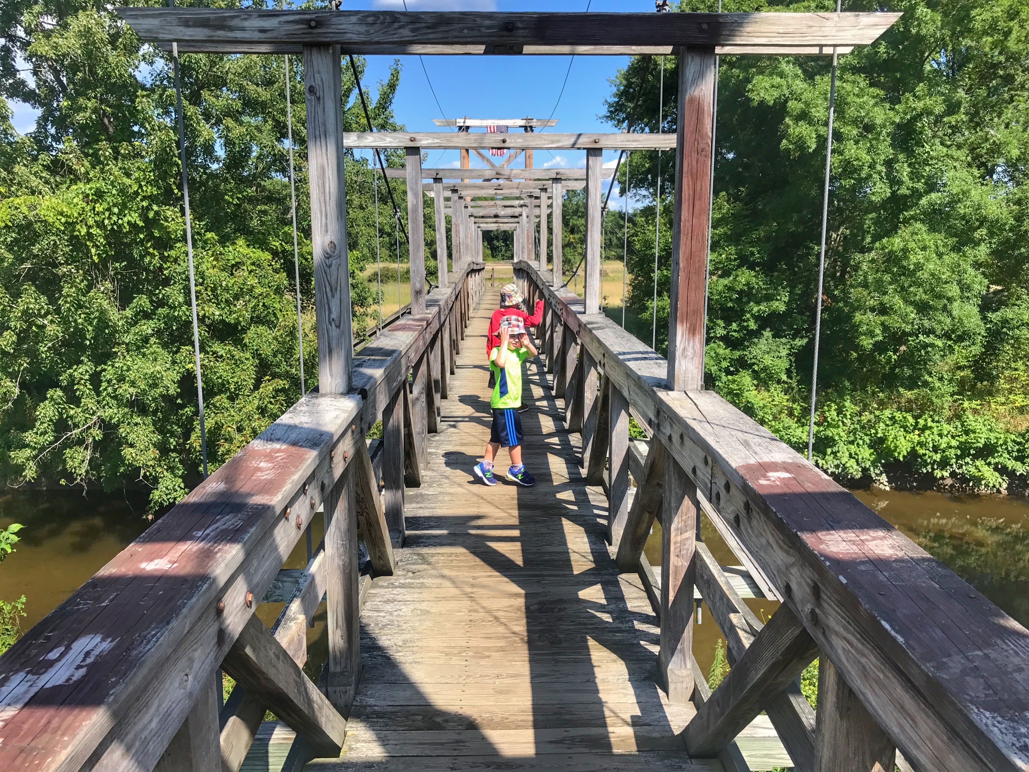
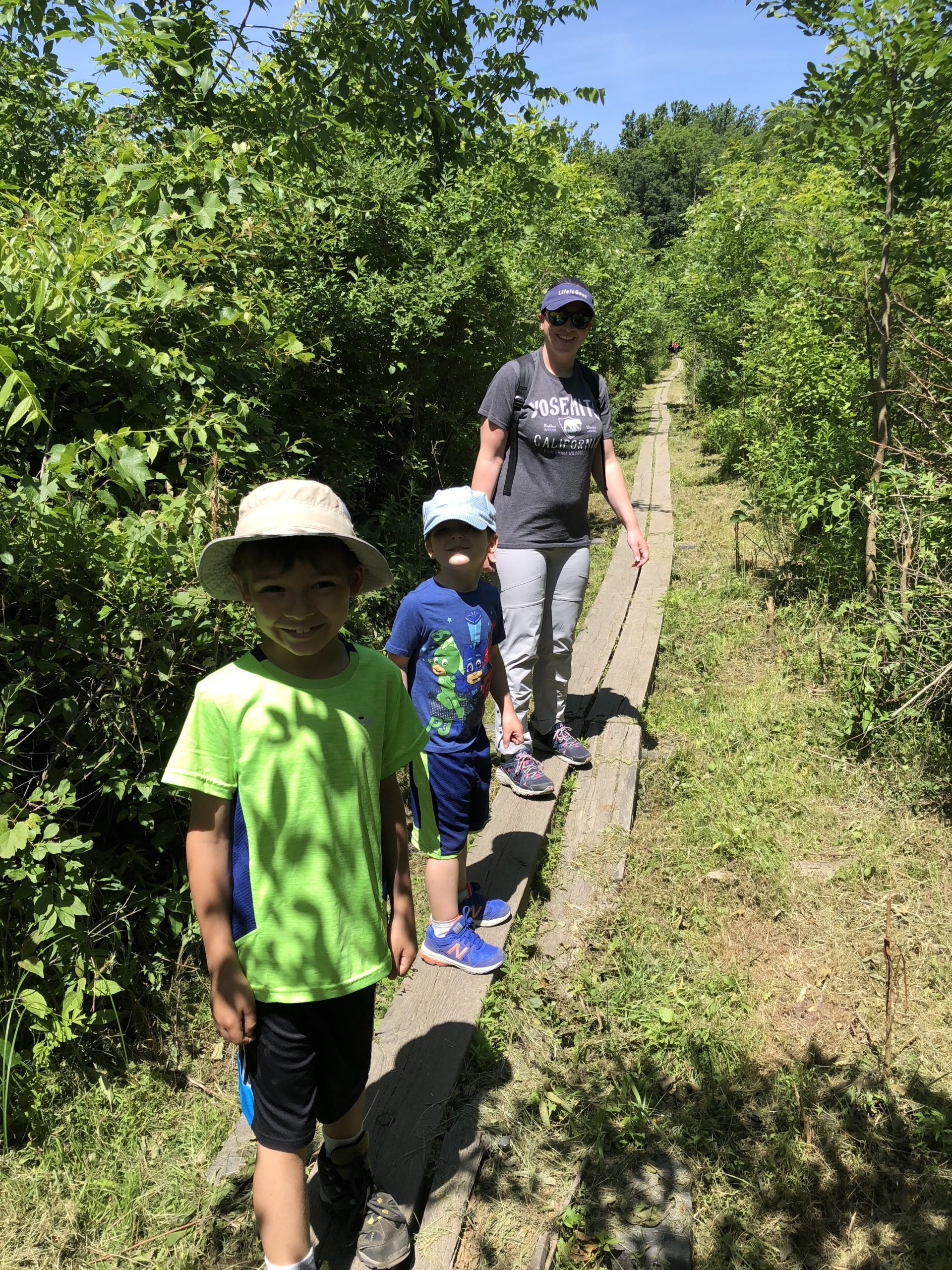
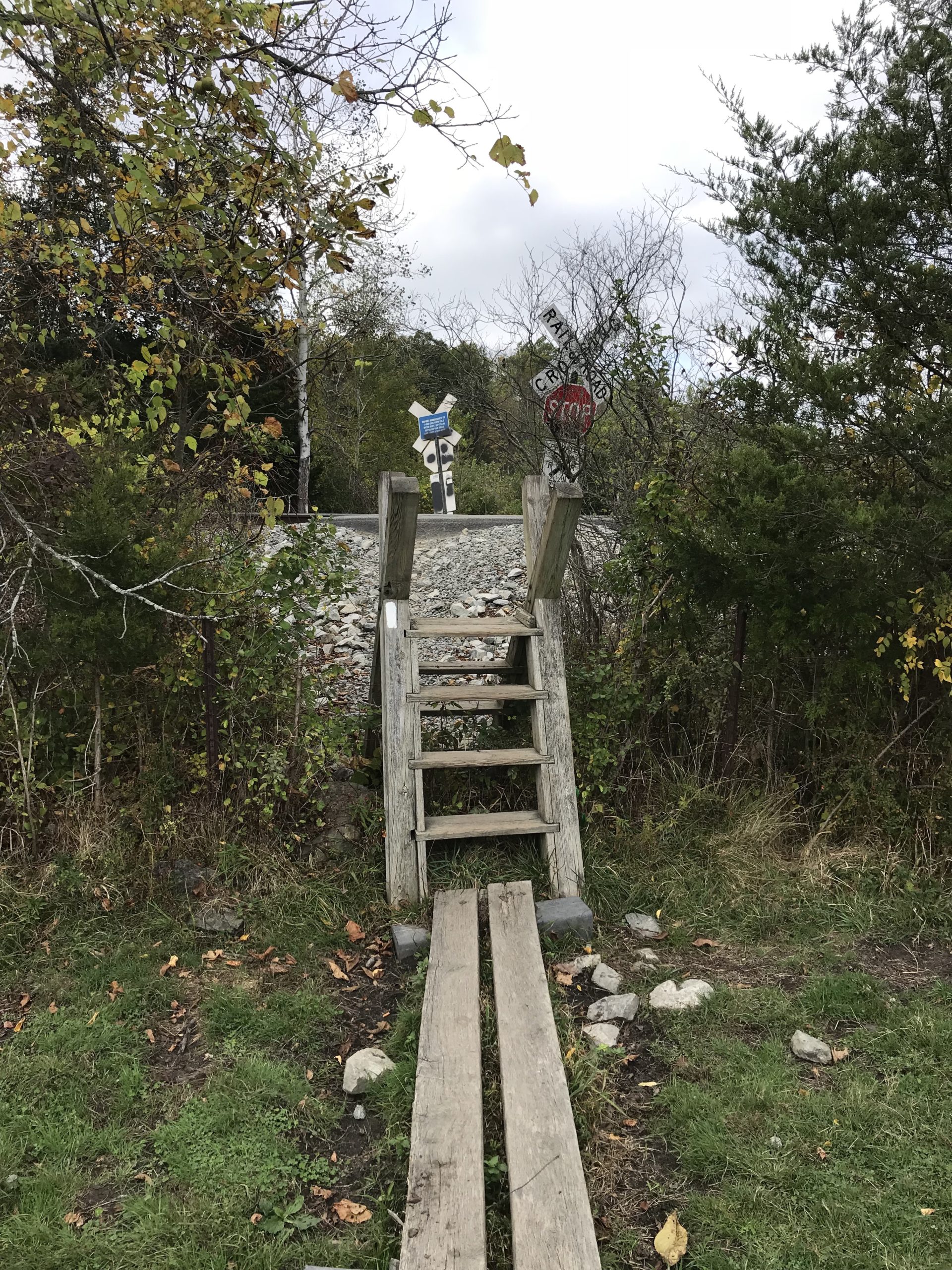
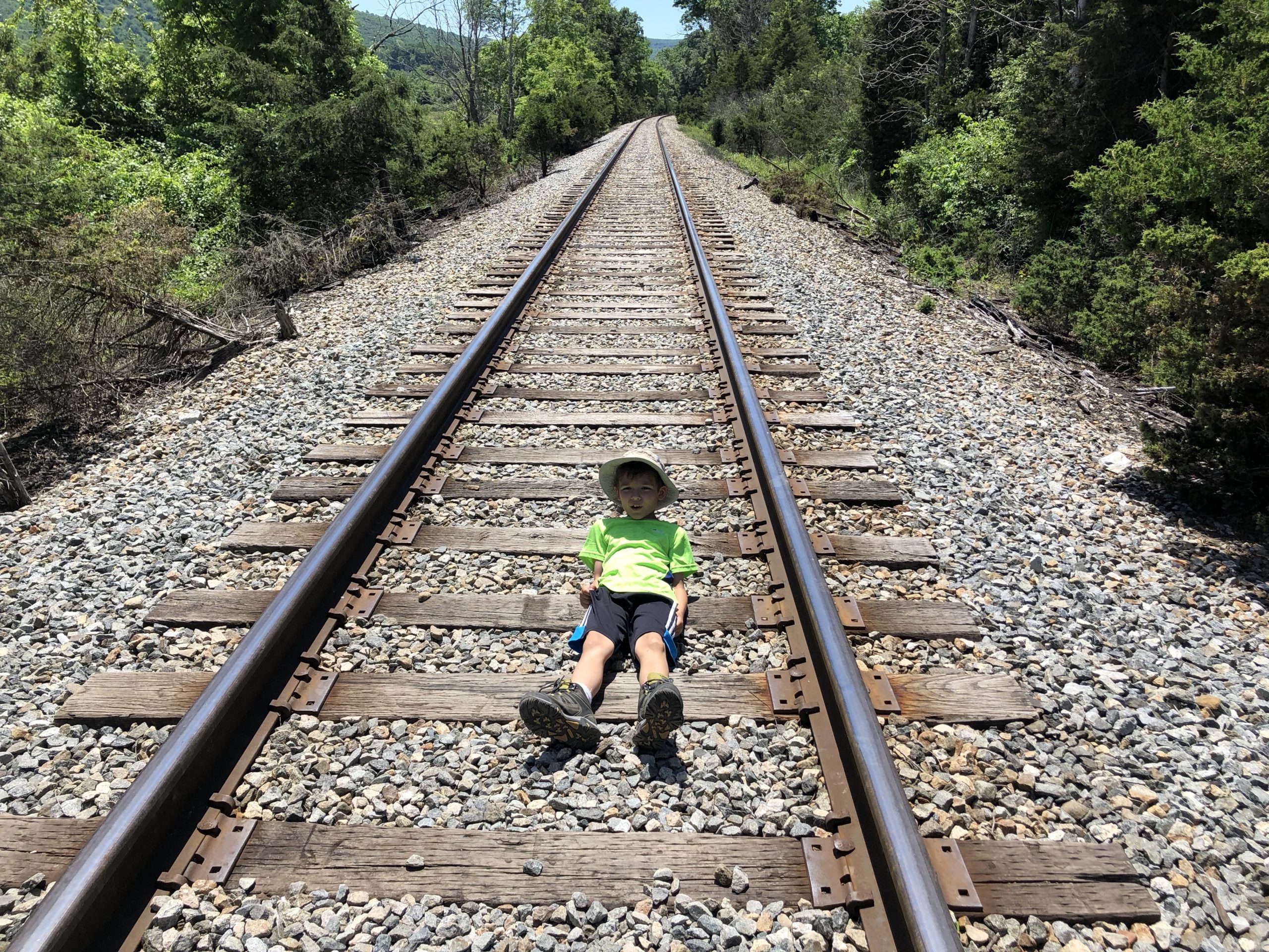
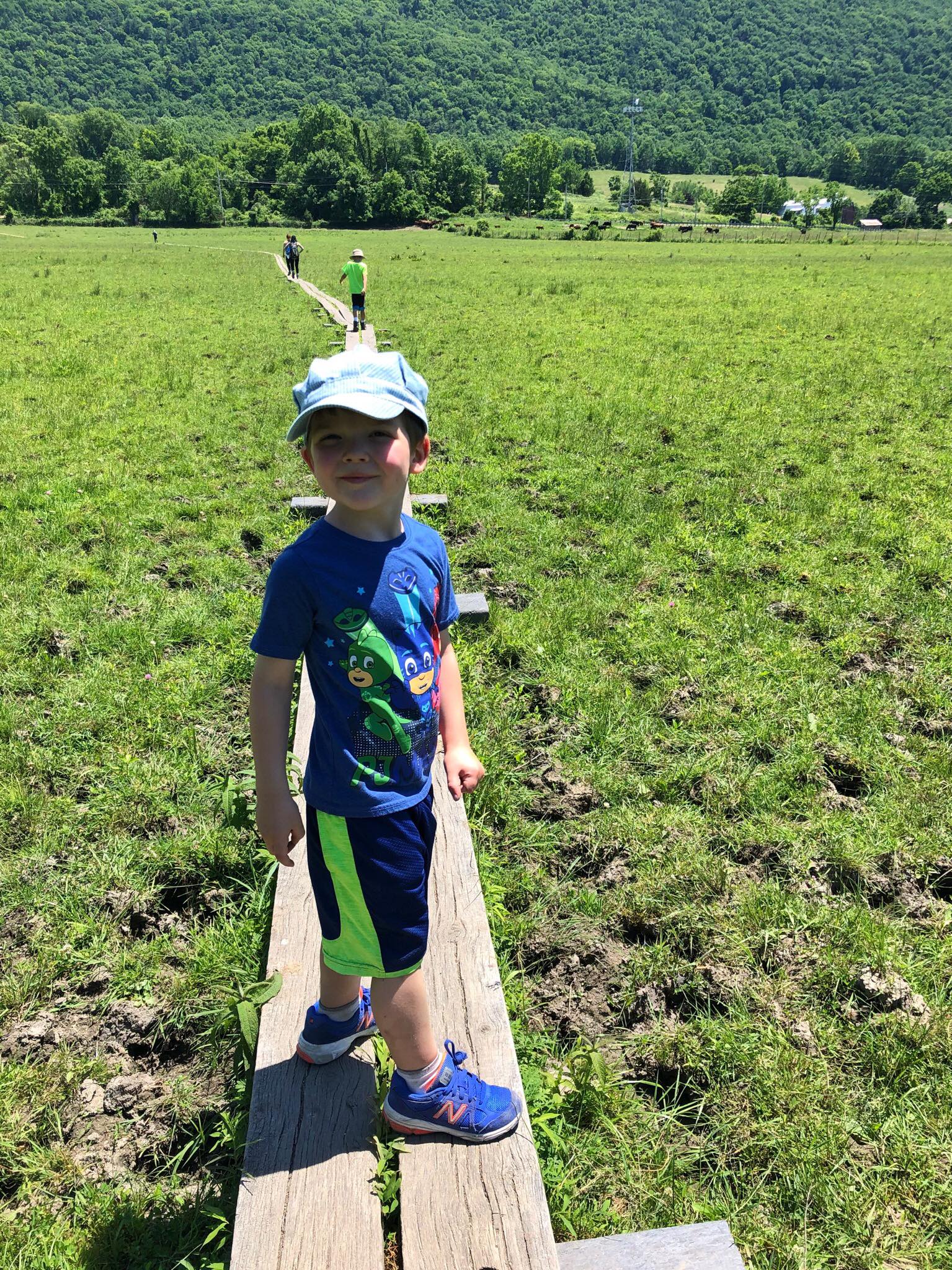
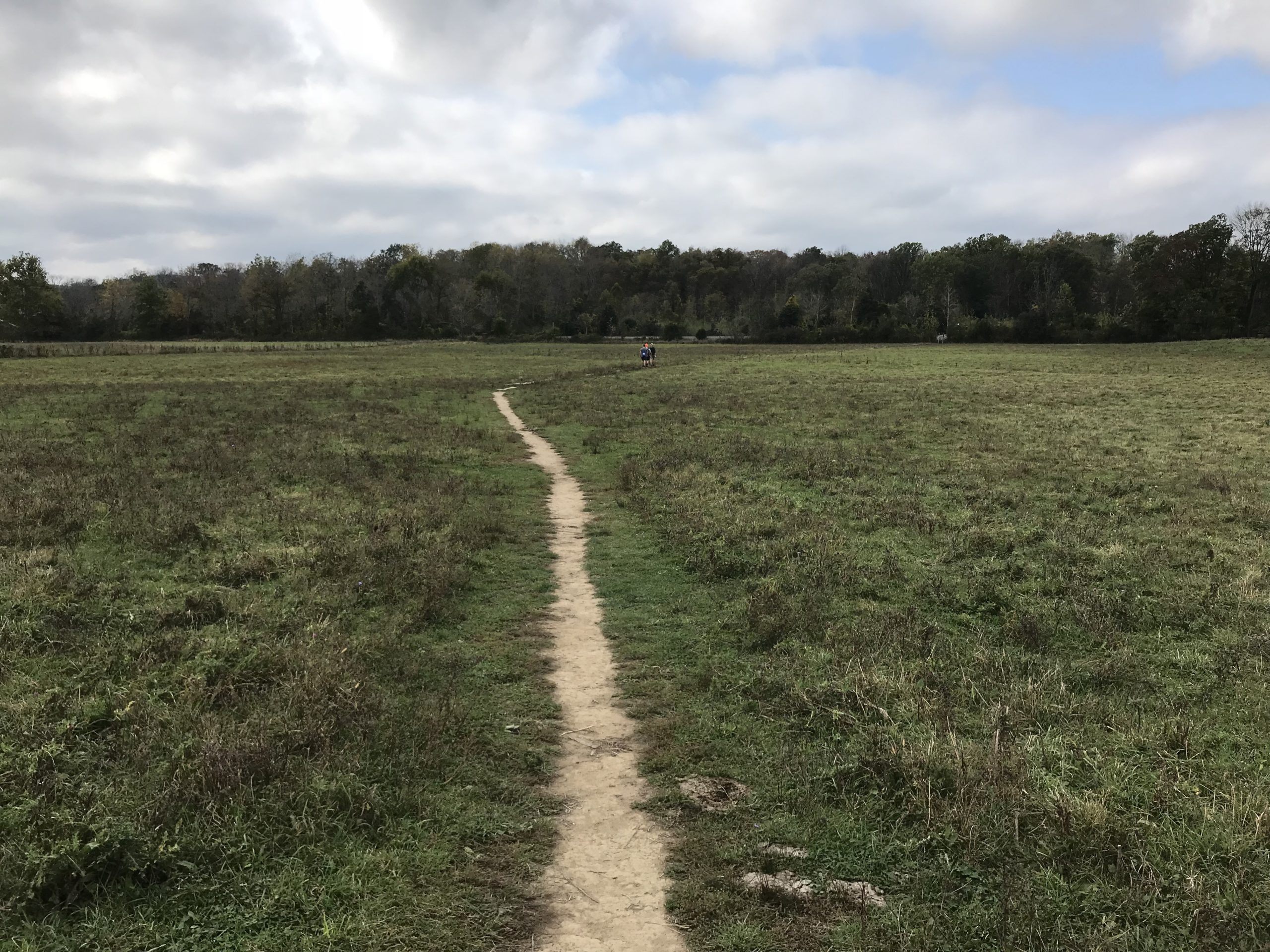
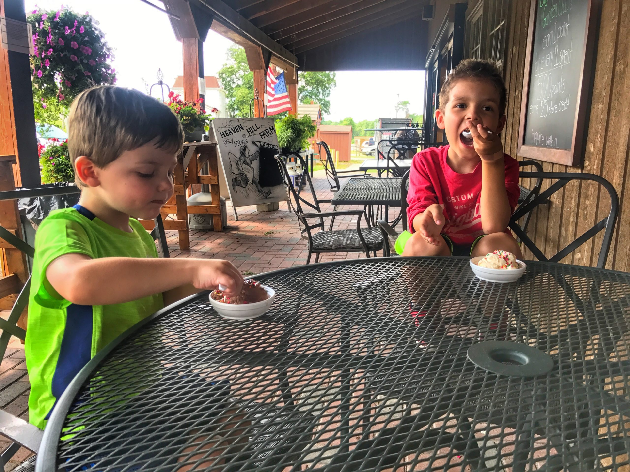
Overview: New Jersey's best boardwalk is nowhere near the ocean. This easy stroll in Vernon is one of New Jersey's hidden gems and one of the most unique sections of the Appalachian Trail. It's also great to do with kids. Pochuck Boardwalk is a mile-long stretch of the AT through sensitive wetlands full of wildflowers and wildlife, including plenty of turtles. The boardwalk and a 110 ft suspension bridge were built by volunteers. This short hike can be extended an extra 1.5 miles to a farm with ice cream, or even further by climbing the more challenging Stairway to Heaven. This trail makes our list of best hiking trails in New Jersey and our Top Kid-friendly hikes in New Jersey. Hike Length: 1.8 mile round trip (just the boardwalk = yellow on map). Longer version: Boardwalk plus trail east to Rt. 94 (yellow + green on map): 4.5 miles round trip. Elevation Gain: 25 feet (or 400 feet for longer version) Location: Vernon, NJ, Appalachian National Scenic Trail Parking: There are three primary options: Along the shoulder of Rt 517 near the intersection with the AT. This puts you at the start of the boardwalk. Park only where indicated by signs. Vehicles may be ticketed if parked anywhere else. Canal Road parking lot with parking for up to 15 cars. You will need to walk a short distance through the woods to reach the boardwalk. Coordinates = [41.22668,-74.46895] Small shoulder/lot on Rt. 94 with parking for up to 15 cars. Near Heaven Hill Farm, but a ~1.5 mile walk along the AT to reach the boardwalk. Coordinates = [41.21935,-74.45509] Map:Appalachian Trail - Pochuck Boardwalk by NY-NJ Trail conference Pochuck Boardwalk section indicated in yellow BackgroundPochuck Swamp: Also known as the "Pochuck Quagmire." In 2002, the New York-New Jersey Trail Conference and Appalachian Trail Conservancy opened a boardwalk and bridge over the nearly mile-wide swamp area - one of the most complicated and expensive construction projects in A.T. history and one that took more than seven years to complete. The relocation eliminated a long walk on roads through the Vernon Valley. The 3,950 feet of boardwalk, built on thin piling bored deep into the swampy ground, was designed to permit passage of water even during periodic waist-deep floods. Suspension Bridge: The 146-foot Pochuck Creek Bridge was completed in 1996, at a cost of $30,000, not including thousands of volunteer hours. Because of changing water levels in the area, its foundation essentially "floats." The walkway is 14 feet high, which is five feet above the 100-year flood level, and should permit the bridge to withstand floods that send logs and debris down the creek. The Appalacian Trail Guide to New York-New Jersey Trail Description:Shortest hike [yellow section on map]: Walk 0.9 miles along the boardwalk until it ends, then turn around. This section is nearly flat and should be easy enough for almost all kids. Wildflowers in Pochuck Swamp Park on the shoulder of Rt 517. As you step away from the road, you'll immediately step onto the boardwalk. You'll follow a 2,000 foot long stretch of boardwalk over Pochuck Swamp. Appalachian Trail Pochuck Boardwalk Appalachian Trail Pochuck Boardwalk Briefly enter a wooded and then reemerge. Bee hive in wooded area Next you'll cross another 1,100 foot-long stretch of boardwalk over Pochuck Swamp. You'll pass ponds full of turtles and other wildlife. Turtles Next, you'll reach a suspension bridge over Pochuck Creek. Pochuck Creek Suspension Bridge Finally, you'll cross another 850 foot stretch of boardwalk. Appalachian Trail Pochuck Boardwalk For a longer, still relatively flat hike [green section on map]: Continue along the white-blazed Appalachian Trail as it enters a forest and crosses bogs on puncheon. Puncheon Soon, the trail crosses a railroad track. Appalachian Trail Crossing Railroad Track Railroad crossing Immediately after crossing the tracks, you'll cross an active cow pasture - just watch your step! Cow Pasture Appalachian Trail through a cow pasture You'll go up a total of about 200 feet - nothing too steep. When you reach Rt. 94, turn left and walk a short distance to Heaven Hill Farm`. This is a great place to treat the kids (and let's be honest, adults too) to ice cream before turning around and retracing your steps back to the car. Heaven Hill Farm For an even longer, more strenuous hike: Cross Rt. 94 and continue on the AT. You are now at the base of the Stairway to Heaven climb. Similar hikes can be planned by parking at the Canal Road lot or on the shoulder of Rt. 94. Dogs: Keep on a 6-foot leash. Kids: No leash required. The boardwalk section is as flat and easy as it gets. The additional section to Heaven Hill Farm is also not too difficult, but use your judgement. The Stairway to Heaven is steep and not suitable for very young children unless they have sufficient experience.
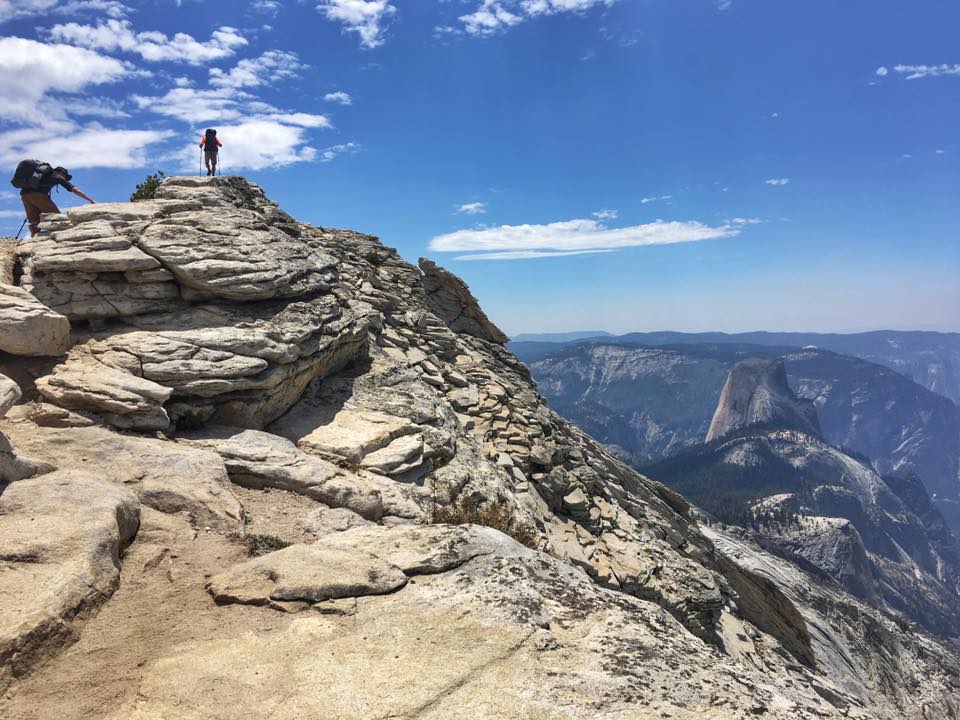
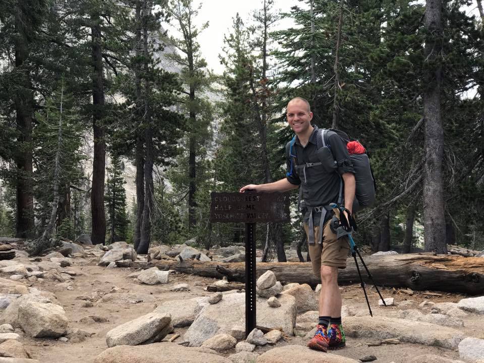
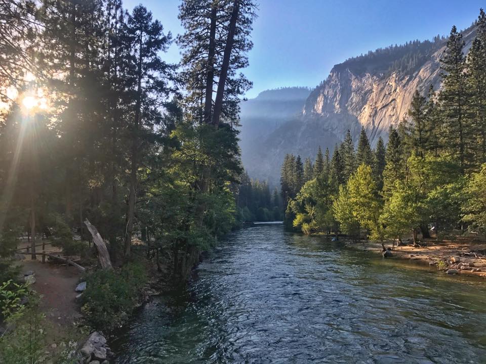
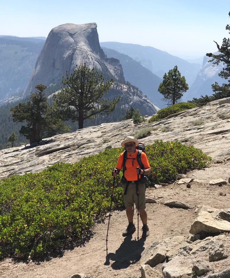
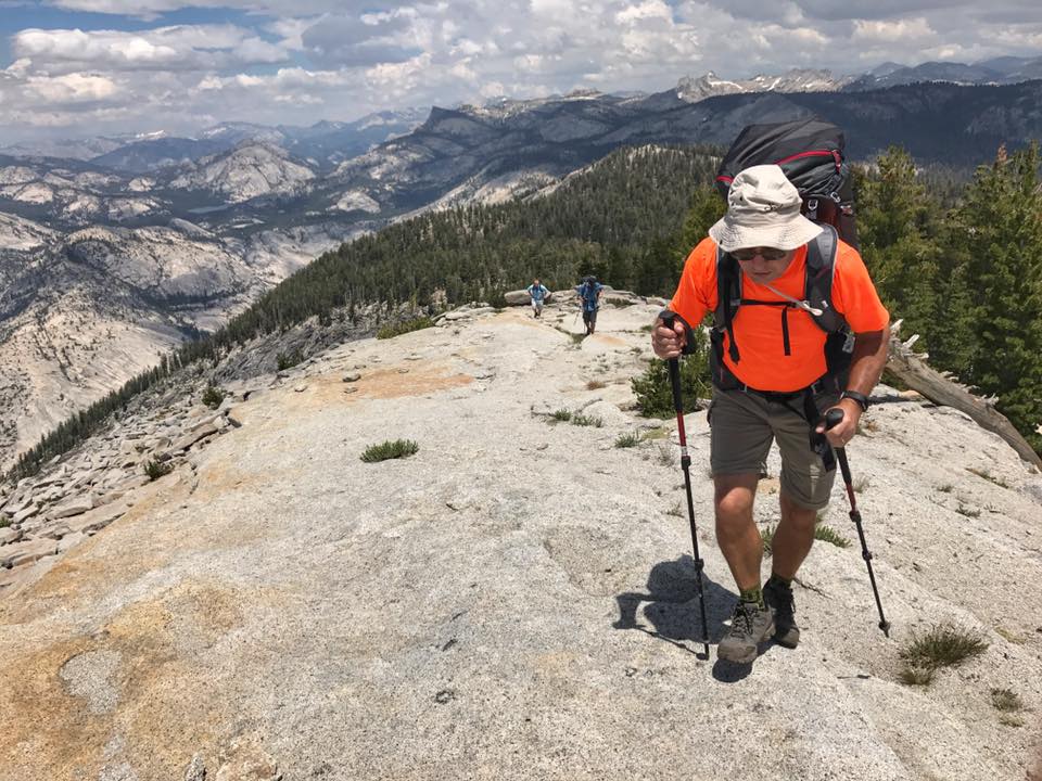
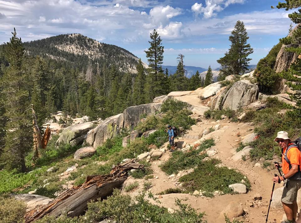
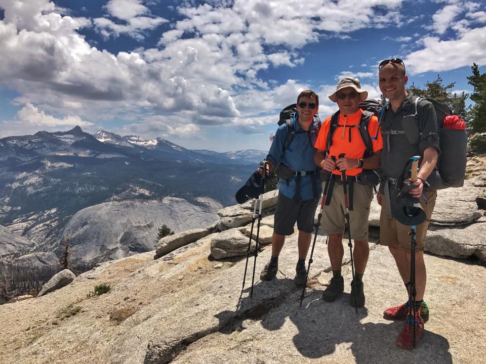
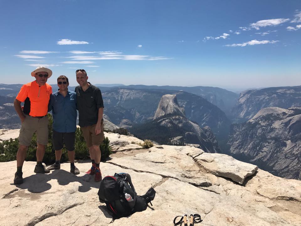
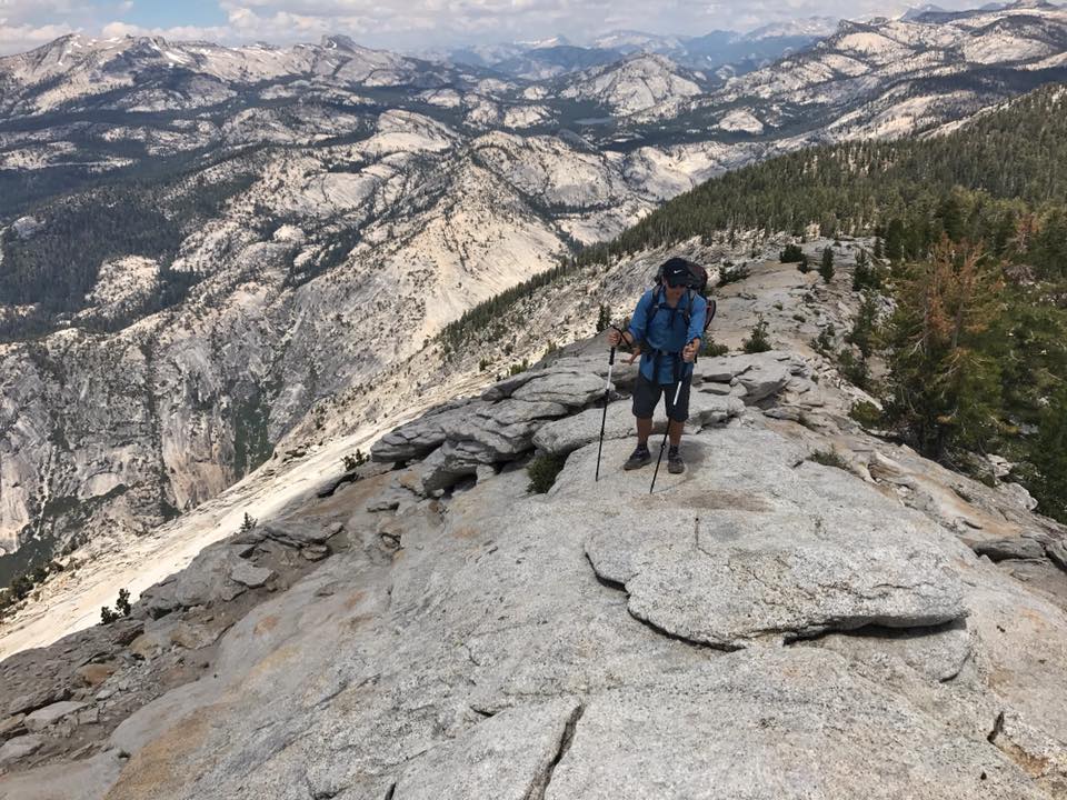
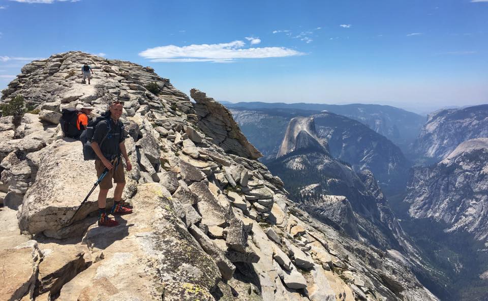
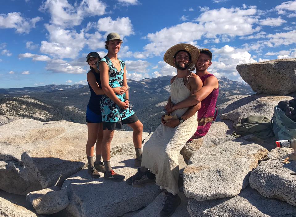
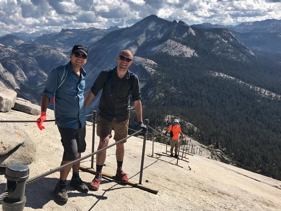
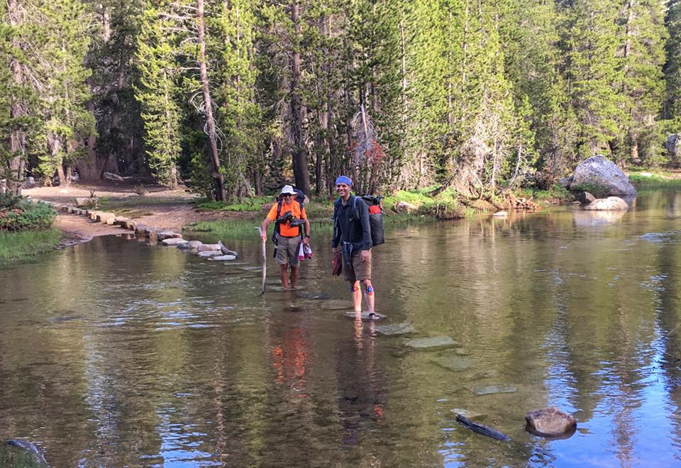
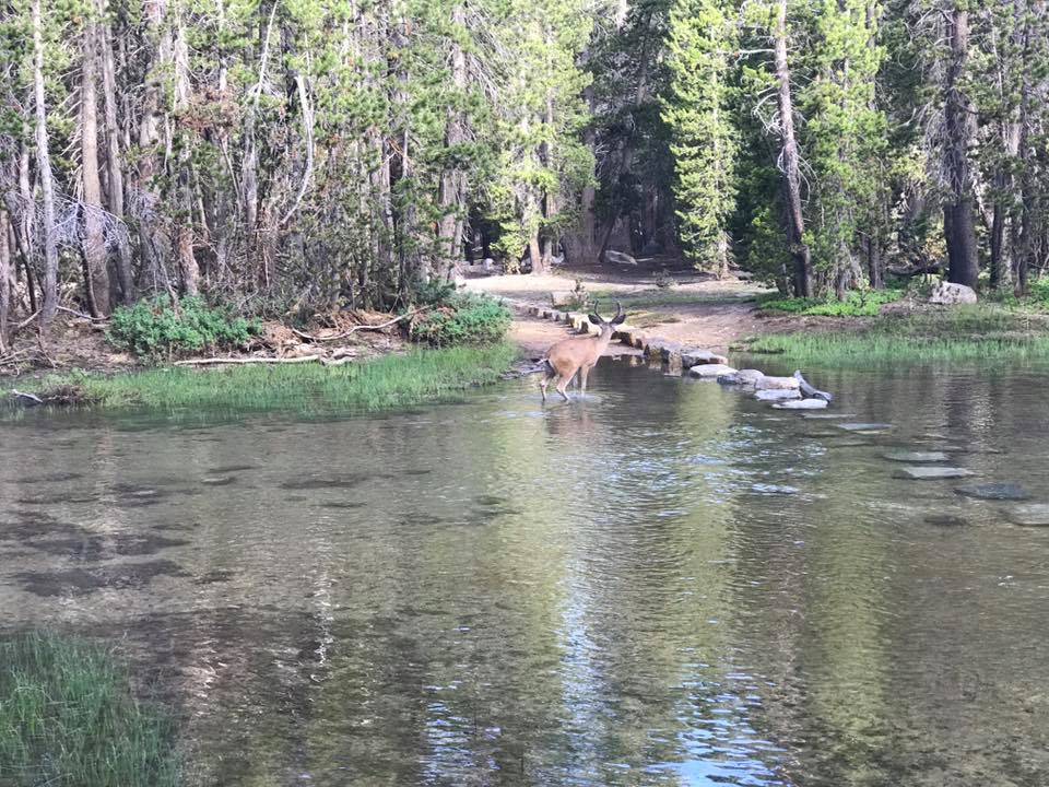
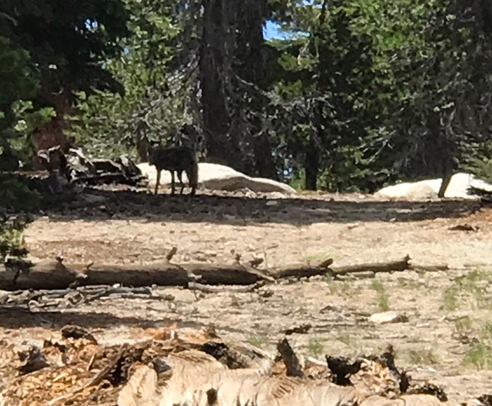
Starting at the Tenaya Lake Trailhead, we hiked to the summit of Clouds Rest, with an elevation of 9,931' and spectacular views of Yosemite Valley. We camped near Sunrise Creek and the next day summited Half Dome via the cables before hiking down to the valley. In total, we hiked 22 miles over 2 days. Getting permits for Half Dome requires luck and flexibility with the lottery system. Clouds Rest, however, requires no permit and provides views that are just as spectacular, with smaller crowds.
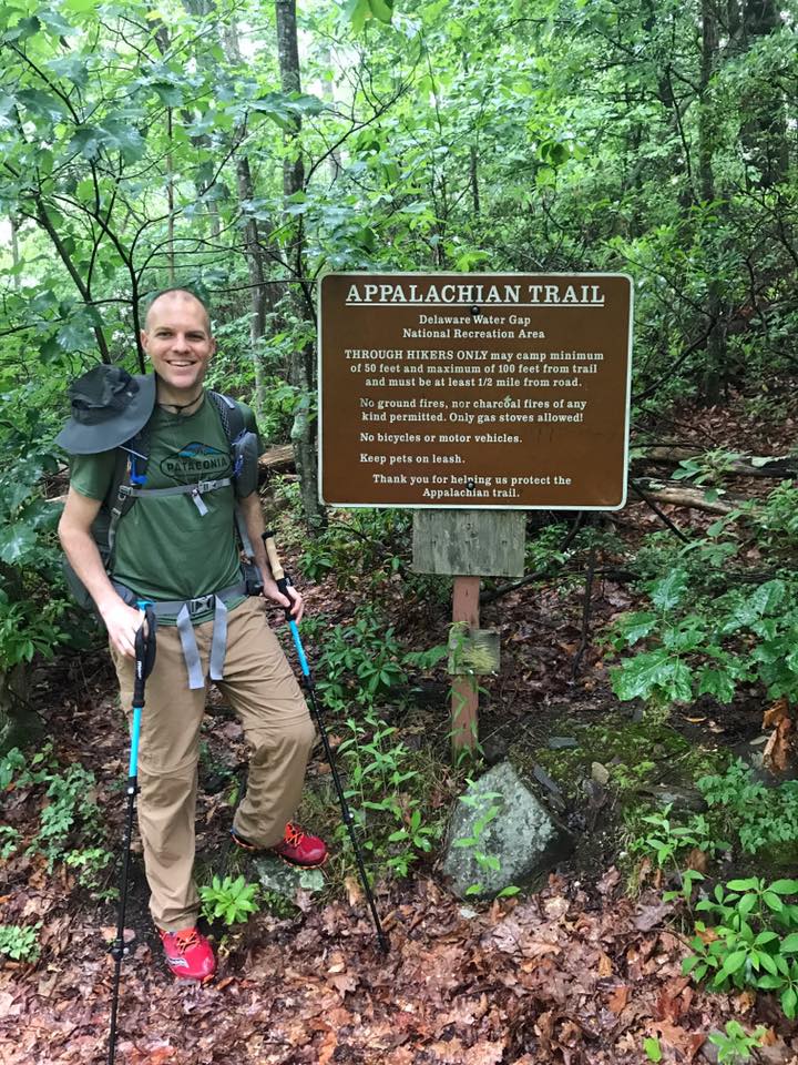
This 16 mile section of the AT passes Sunfish Pond and the backpackers campground in Worthington State Forest, and crosses the Delaware River over the I-80 bridge and ends at the village of Delaware Water Gap, Pennsylvania. We hiked this section southbound to minimize the elevation gain. Heading Title
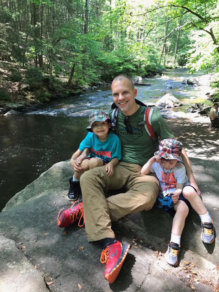
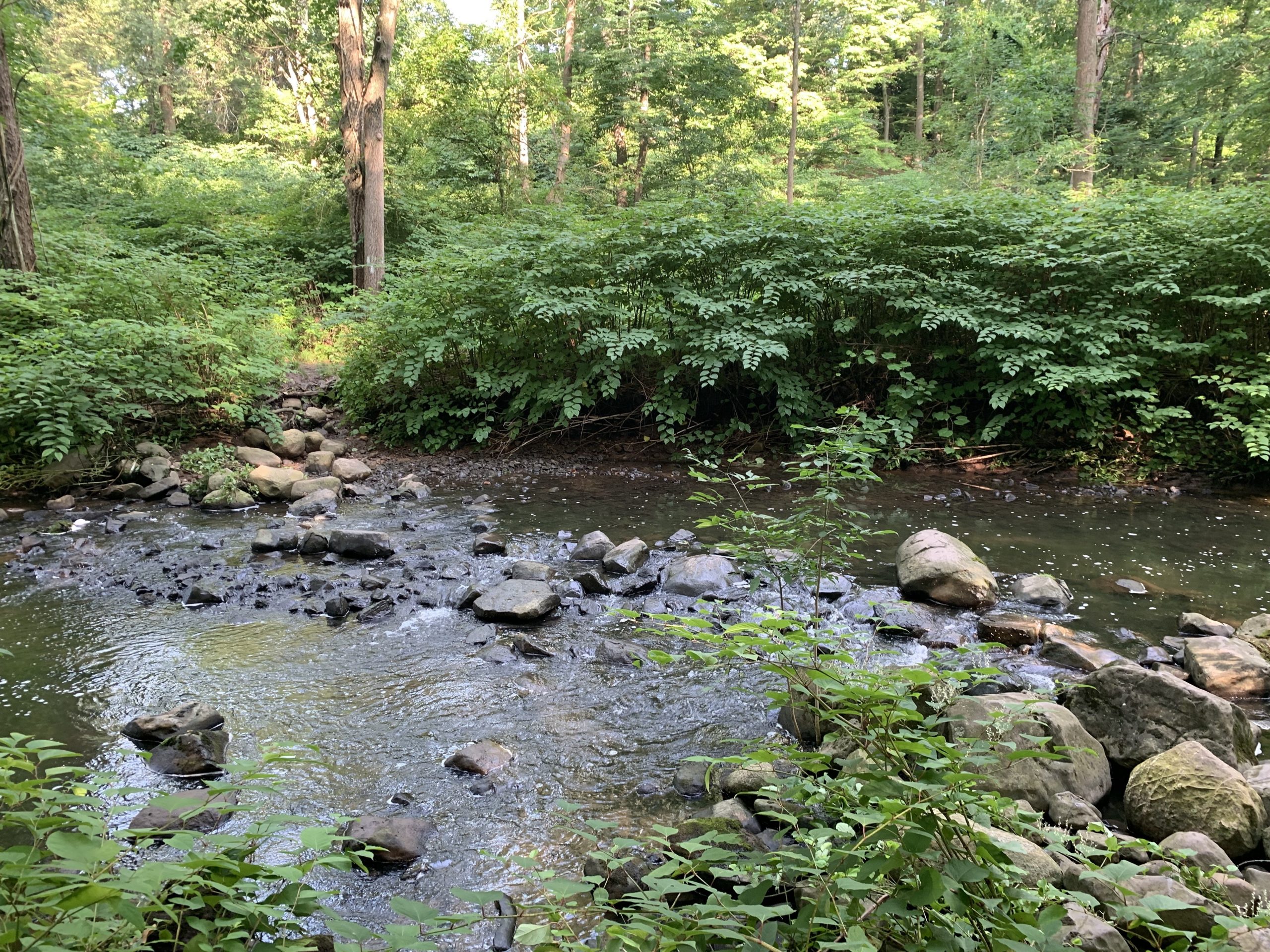
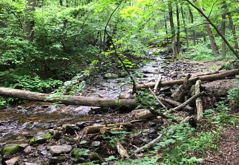
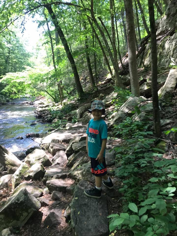
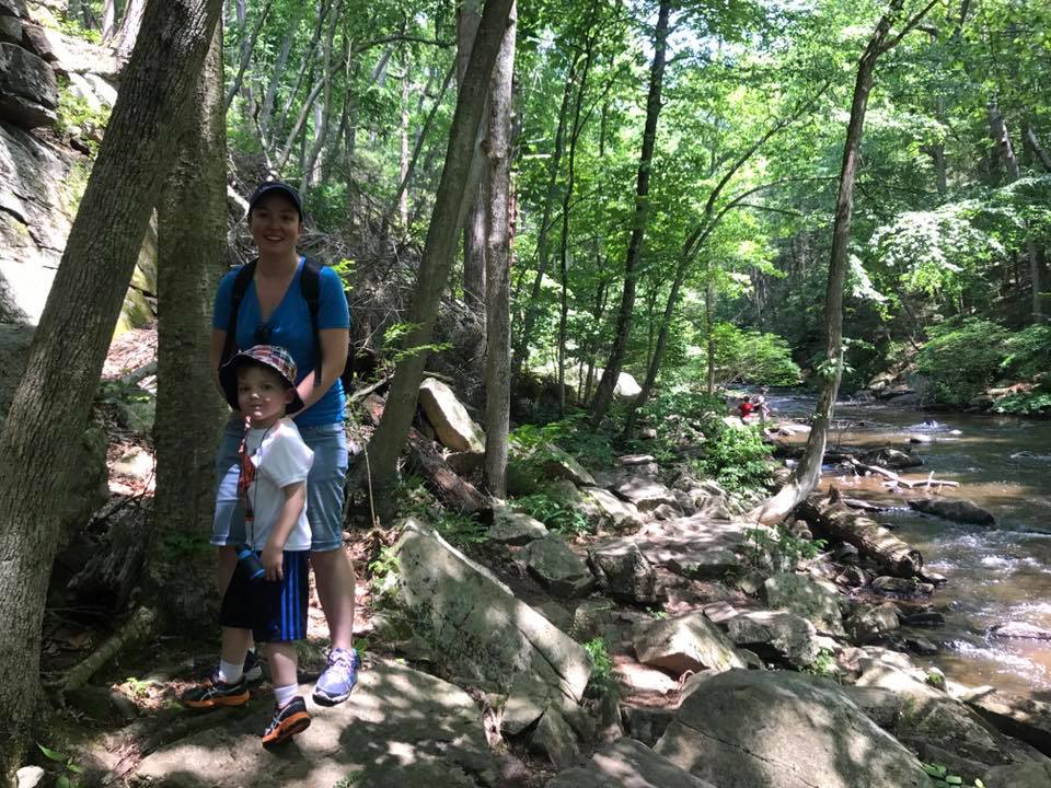
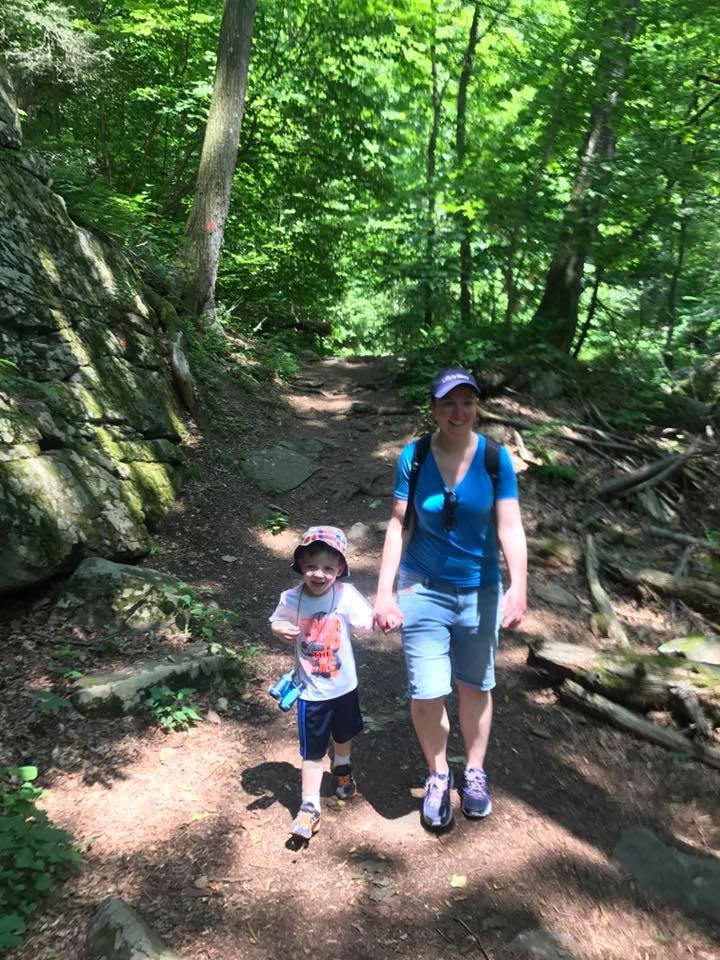
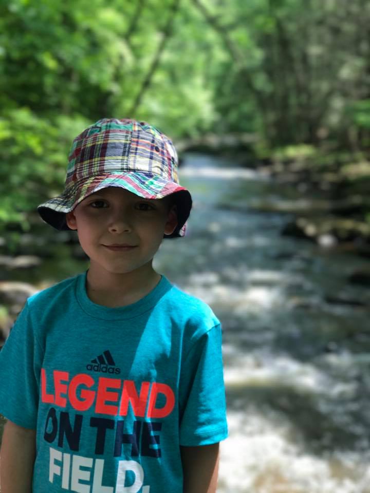
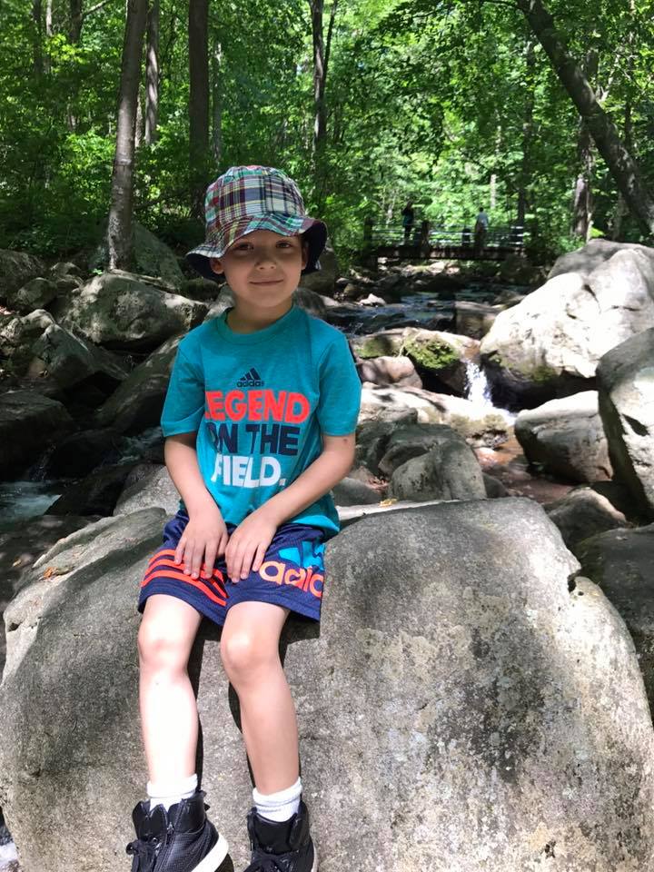
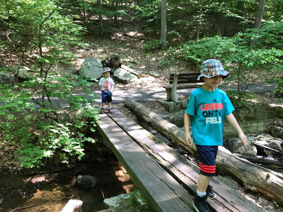
Hacklebarney State Park is a beautiful, family friendly park located in Morris County that features the Black River fed by two tributaries. We hiked a loop by following the WHITE -> RED -> LIGHT BLUE -> WHITE trails. Check out the hiking trail map.
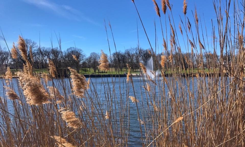
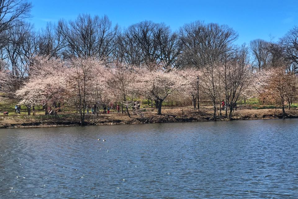
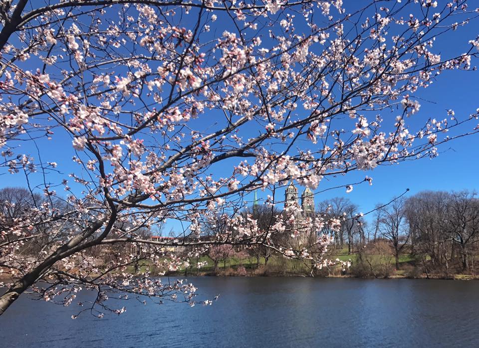
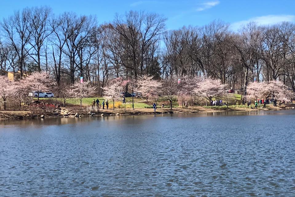
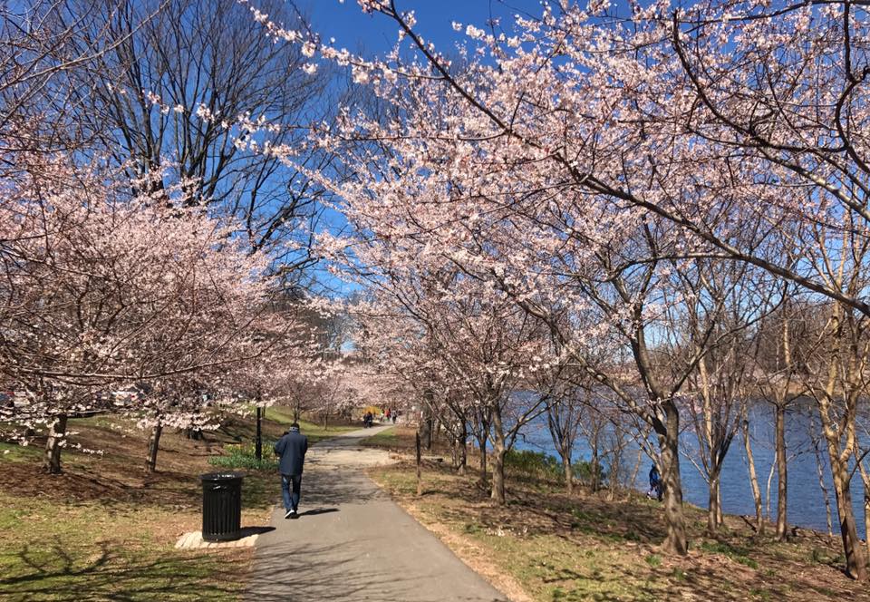
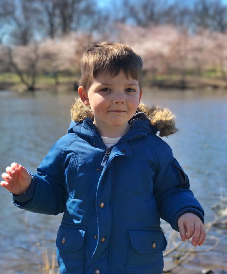
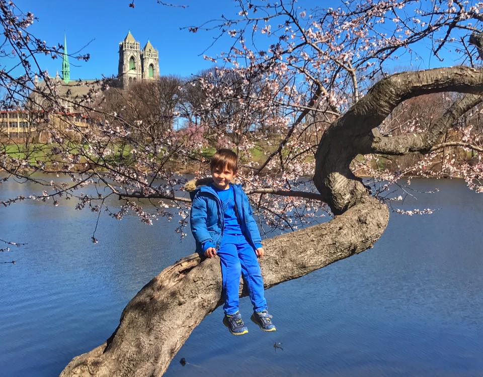
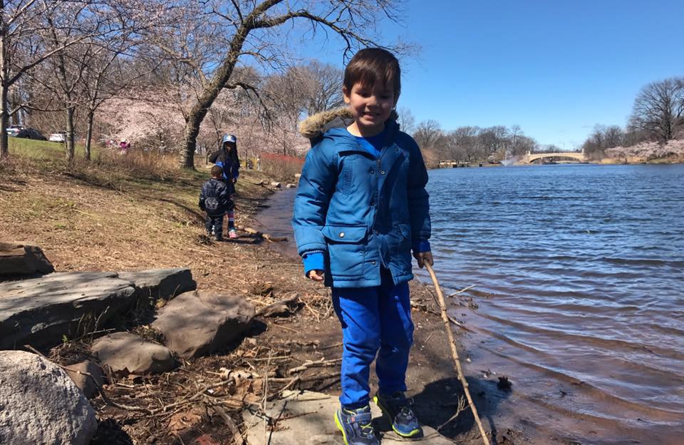
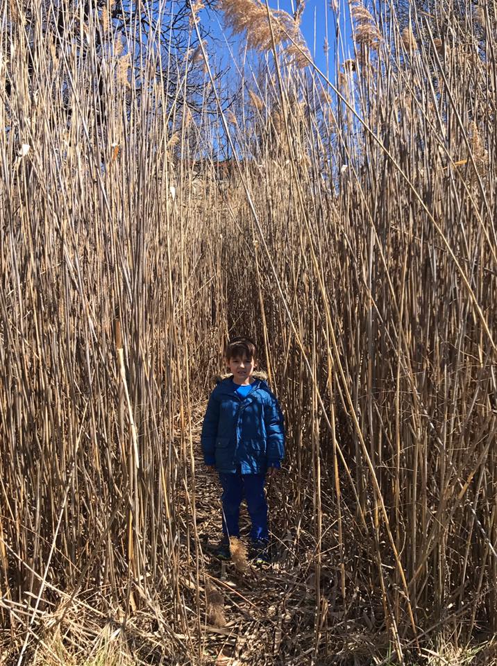
Branch Brook Park in Newark and Belleville has over 5,000 cherry blossoms - a larger and more diverse collection than DC or anywhere else in the country. A great time to visit is during the Cherry Blossom Festival in the spring. The flat paths around Branch Brook Lake are kid-friendly. Do a one mile loop around the southern end of the lake by crossing the foot bridge just north of Park Avenue. Step off the trail a bit and explore the marshy areas near the southeast shore of the lake.


 Refine Search


