We backpacked a 56-mile section hike of the John Muir Trail starting from Reds Meadow, visiting Devils Postpile National Monument, and traveling through the Ansel Adams Wilderness, Inyo National Forest, and Yosemite National Park.
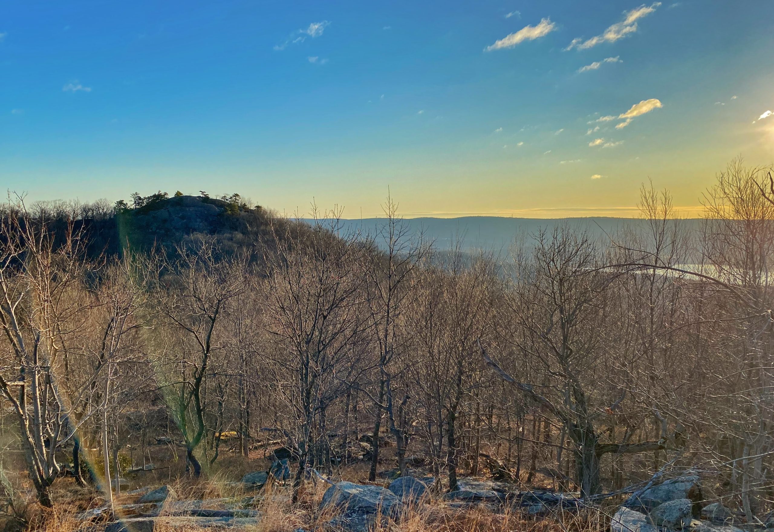
Perhaps the most strenuous hike in New Jersey, this 10 mile loop in Ringwood, NJ climbs five "mountains" - Little Windbeam, Windbeam, Bear, Board, and Harrison Mountains and offers nice views of the Wanaque and Monksville Reservoirs.
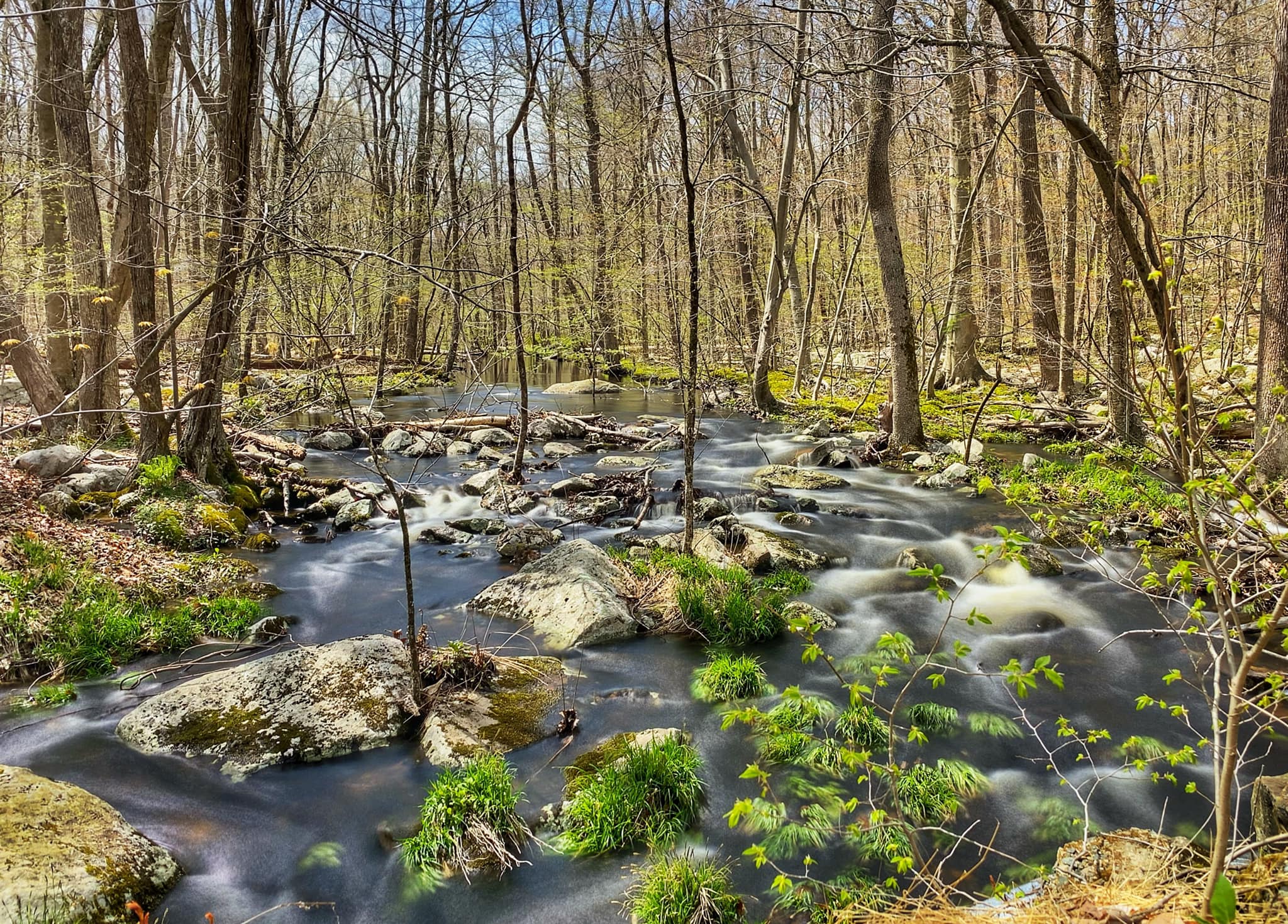
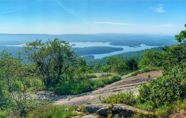
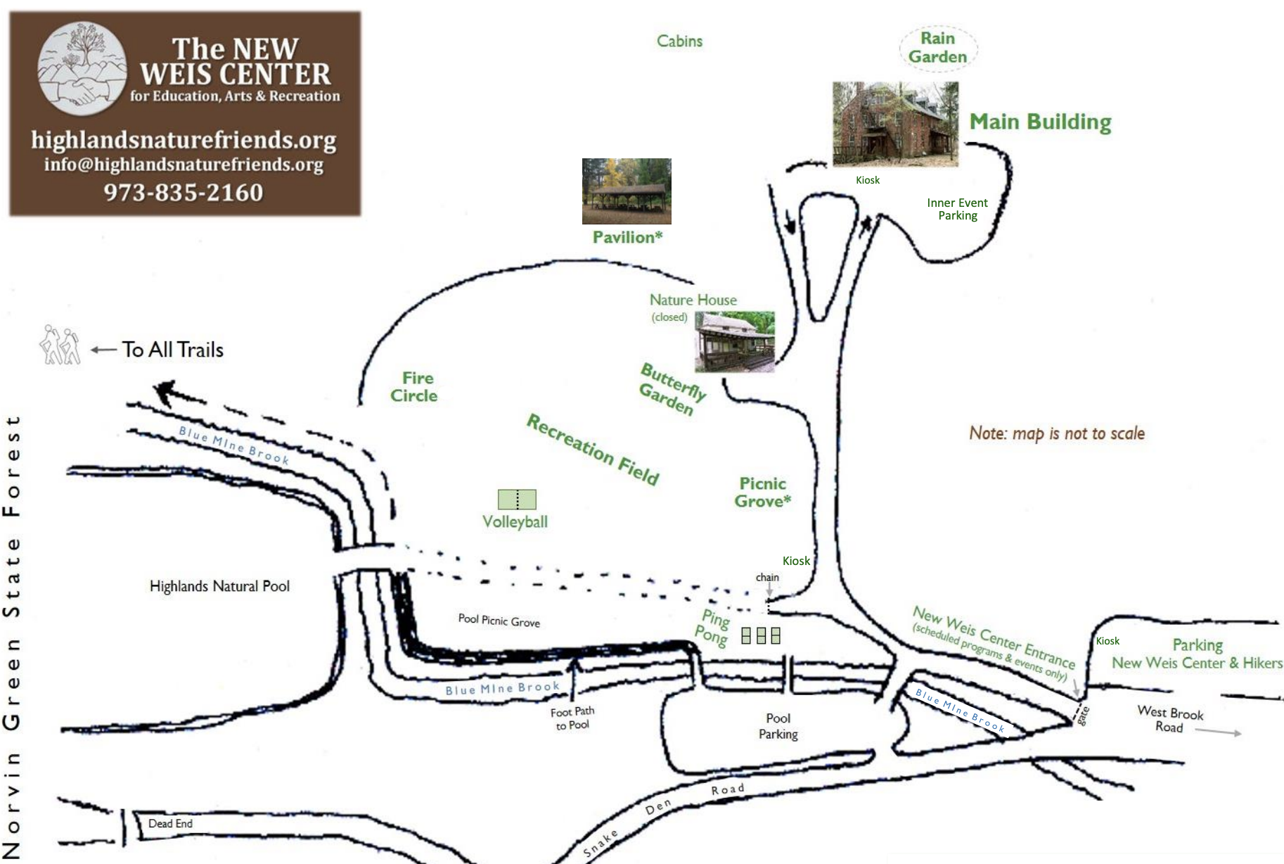
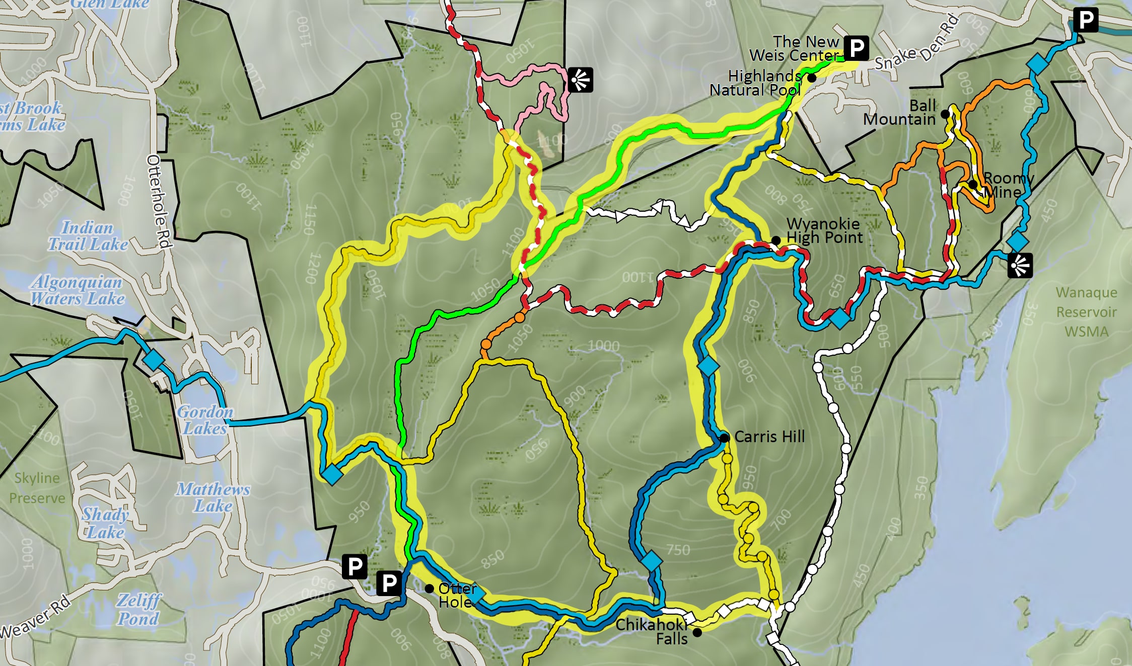
Overview: One of the best hikes in New Jersey - Wyanokie High Point, with a view of the Wanaque Reservoir, along with Chikahoki Falls, and Otter Hole are the highlights of this 7.5 mile loop. This trail makes our list of best hiking trails in New Jersey. To find other great hikes, check out the whole list. Length: 7.5 miles Elevation gain: +1,778 feet Parking: The New Weis Center allows hikers to use in their outer gravel parking lot on Snake Den Road (GPS coordinates: 41.0698407, -74.321792). See on Google Maps. The lot is open to the public from 9:00am to dusk; no overnight parking allowed. Parking near the main building is reserved for guests attending programs and events at the Center. Parking off Snake Den Rd near the Highlands Natural Pool is reserved for Pool and Weis members. Parking is not allowed along Snake Den Road. New Weis Center Map Map:Trail description: From the parking lot, hikers (without dogs) may walk through the New Weis Center's grounds (see map below) and go up and around the pool to access trails. Hikers with dogs should access all trails by walking up to the end of Snake Den Road - not through Weis property. Follow the green blazes, then fork to the left at the start of the blue trail. Continue to follow the blue blazes until you reach a junction with the red/white and teal (Highland) trails. At the junction, go left and follow the red/white and teal blazes, then scramble up the rocks to Wyanokie High Point and enjoy the view of the Wanaque Reservoir. View from Wyanokie High Point Turn around and head back down to the junction and now continue to follow the blue + red/white + teal blazes for a while. Soon, the red/white will break off to the right, but we will continue to follow the blue and teal blazes to climb Carris Hill. View of Wyanokie High Point from Carris Hill At the top of Carris Hill, leave the blue and teal trails and follow the yellow blazes down switchbacks to the base of the hill. As you descend, you'll pass multiple viewpoints to the east and south. View descending Carris Hills Now pay attention and follow the white blazes west (make sure you don't follow the white blazes south, which will lead you out of the park). Soon you will reach Chikahoki Falls. You could continue on the white trail, but why rush? This is a great spot to stop for lunch of a snack. Cross the stream on rocks and take a break on the beach or on some of the rocks. https://youtu.be/reVuG9peRJc Chikahoki Falls Chikahoki Falls Chikahoki Falls When you're done, cross back over the stream and continue to follow the white blazes west. Soon, the white trail will end and you will continue to follow the blue and teal blazes. You will cross the yellow trail and then reach Otter Hole, a short detour from the trail. Otter Hole https://youtu.be/JsYx70Ym1BM Otter Hole After checking out Otter Hole, continue on the blue until you reach a fork where the blue goes left and the teal and green go right. Follow the green and teal blazes, and at the fork with the yellow trail, turn left and follow the yellow and teal blazes. Now, continue to follow yellow. After a while, the teal trail will break to the left. Continue on yellow. At the next junction, make a right onto the red and white trail. Finally, turn sharp left on the light green trail and follow it back to the parking lot.
This is a short but steep hike with an overview of Sawmill Lake at the top - a nice trail if you camp at the Sawmill Lake campground in High Point State Park.
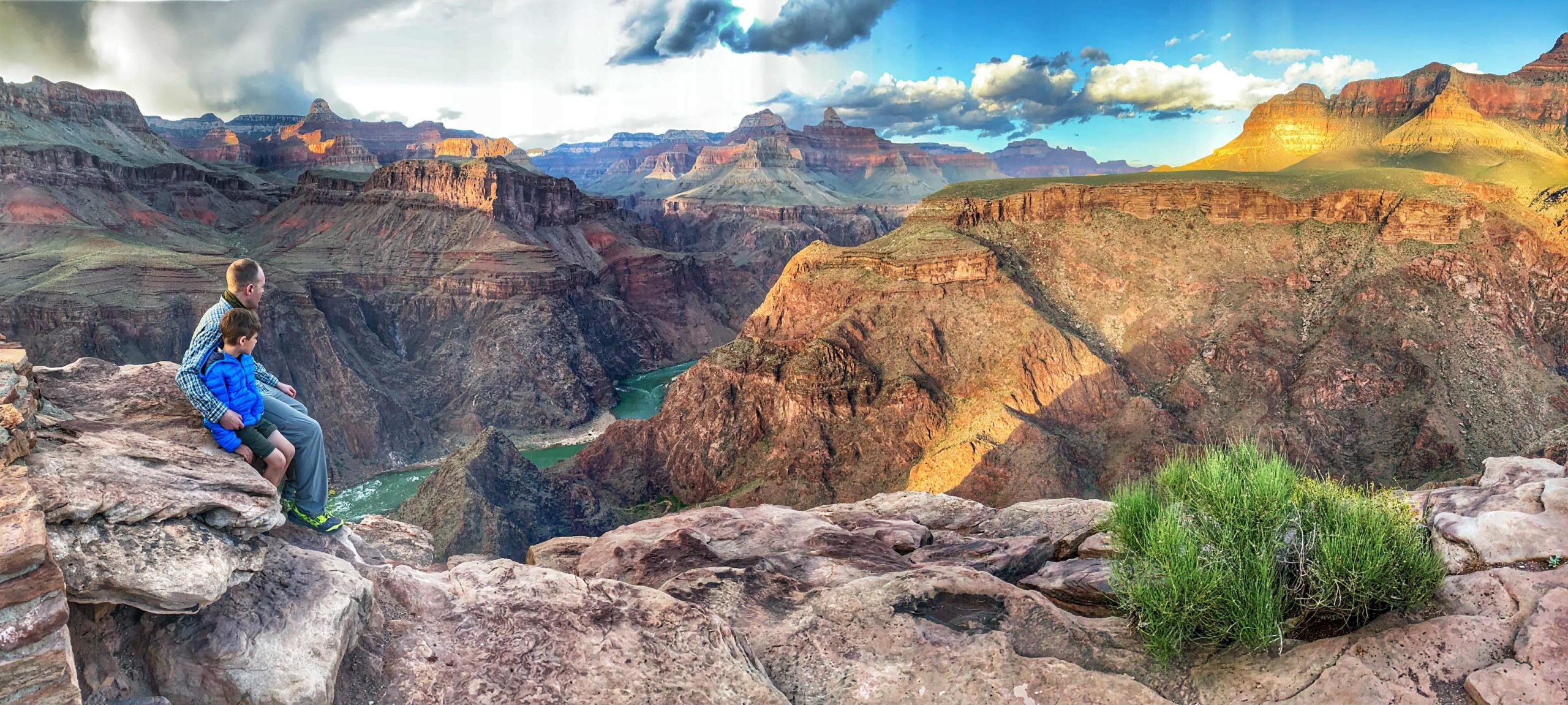
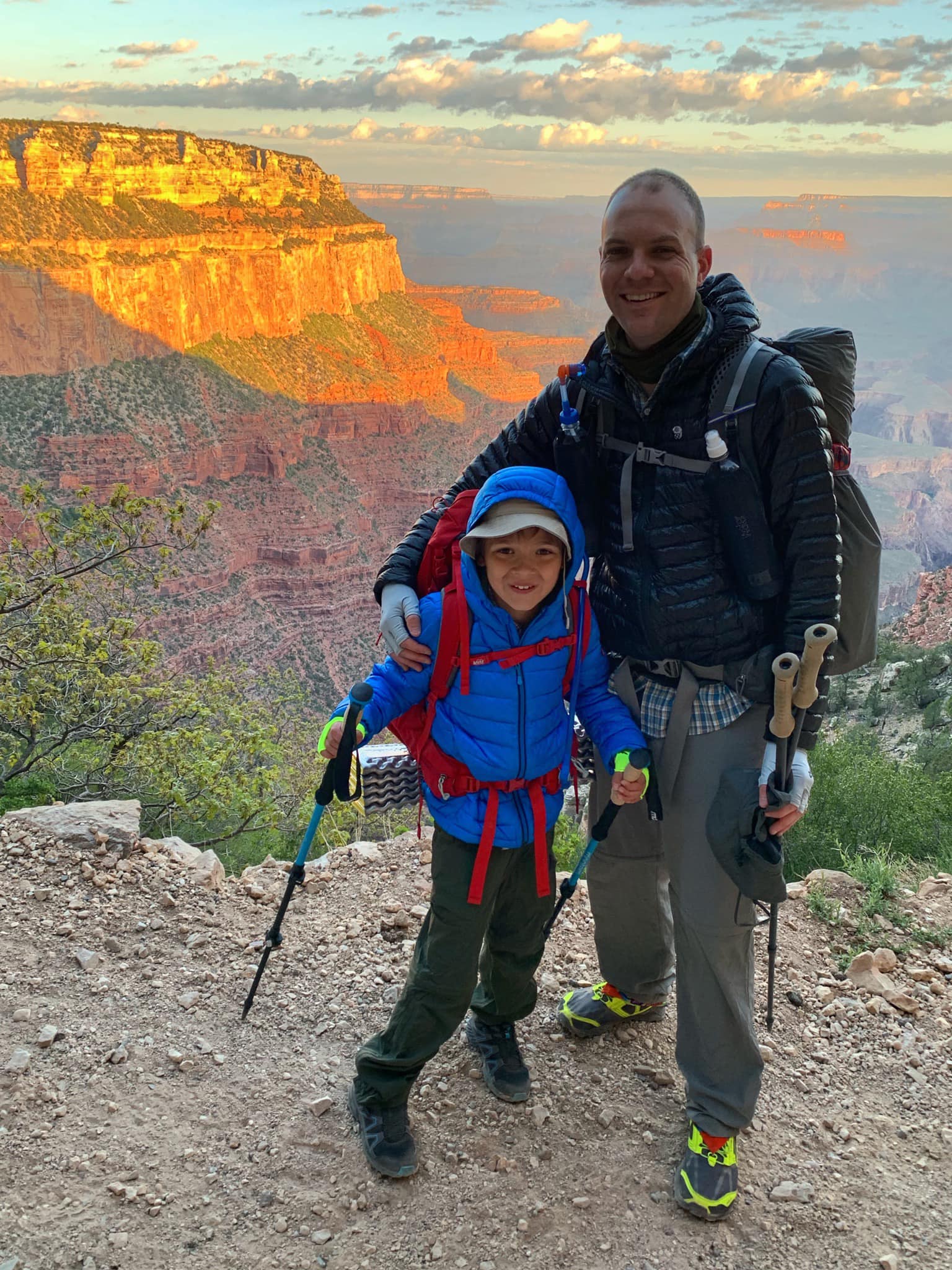
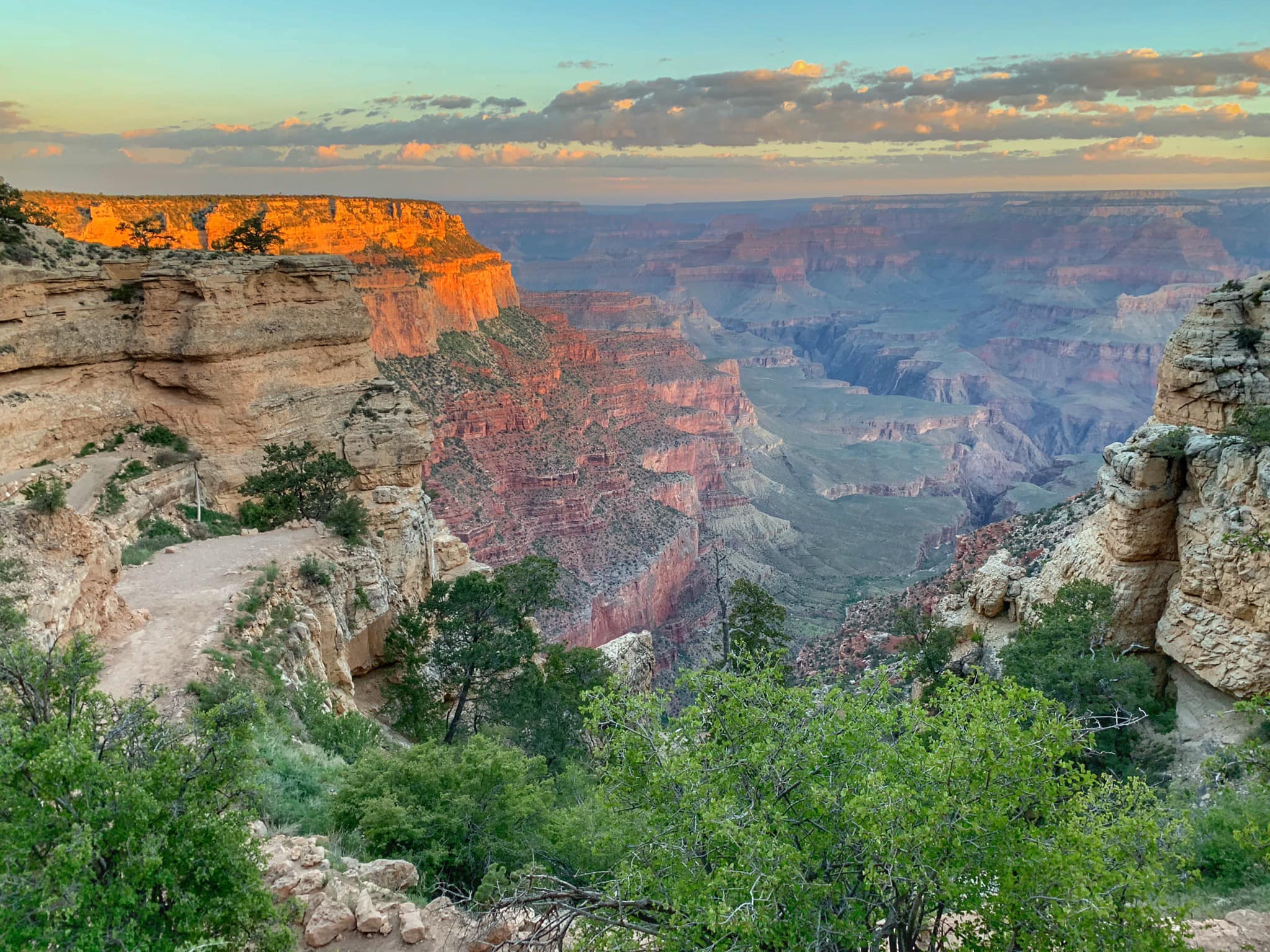
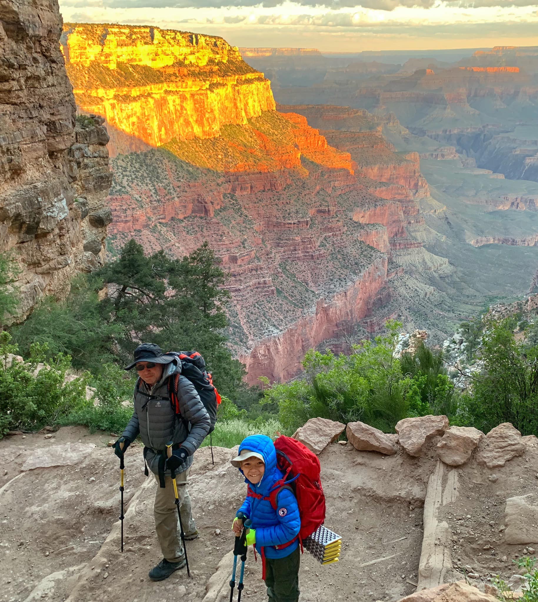
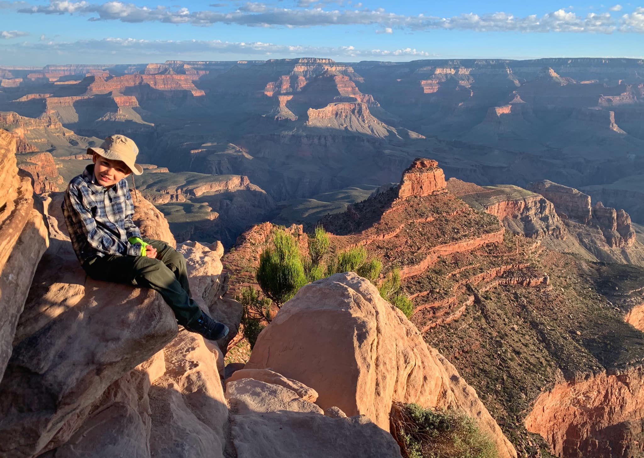
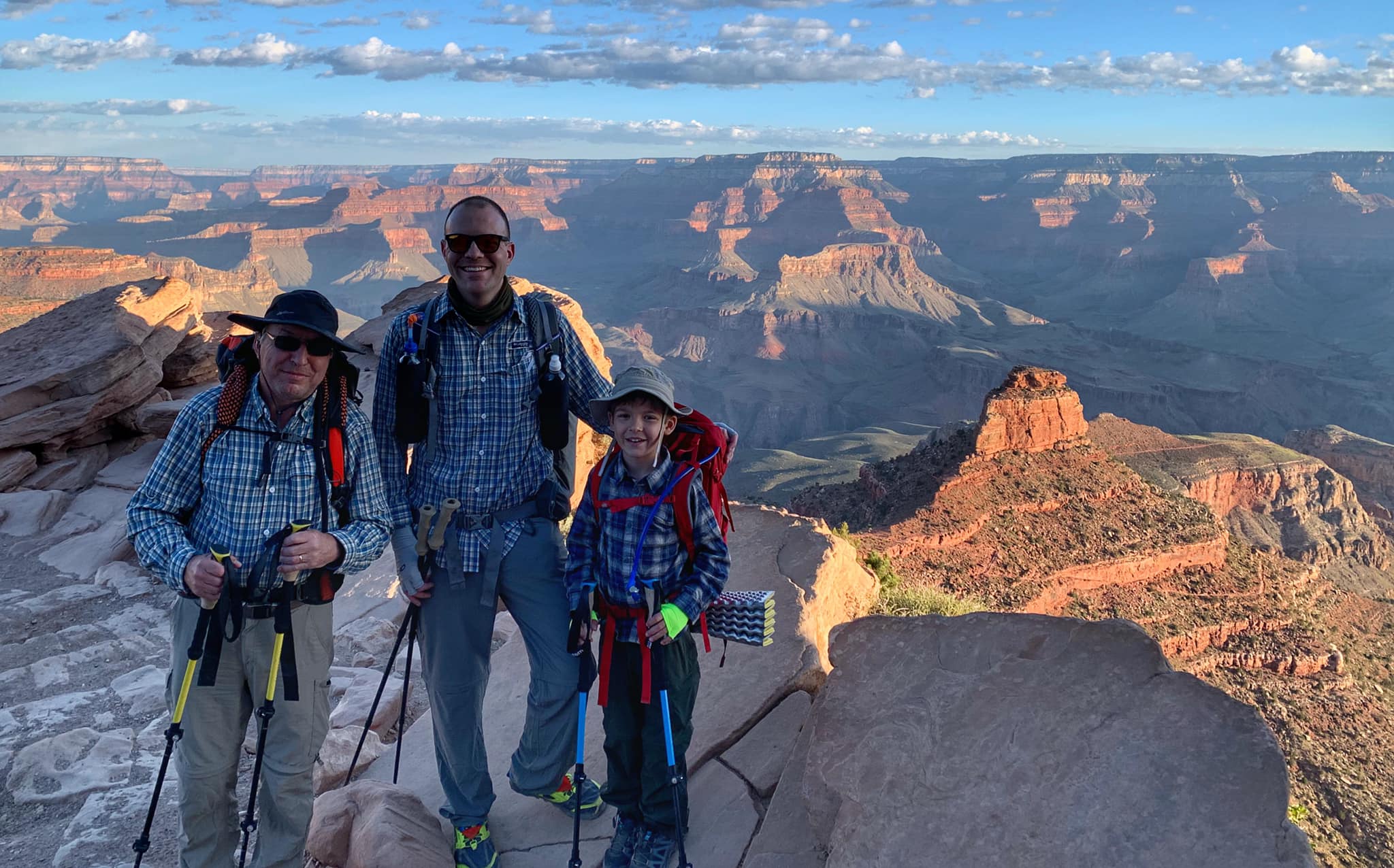
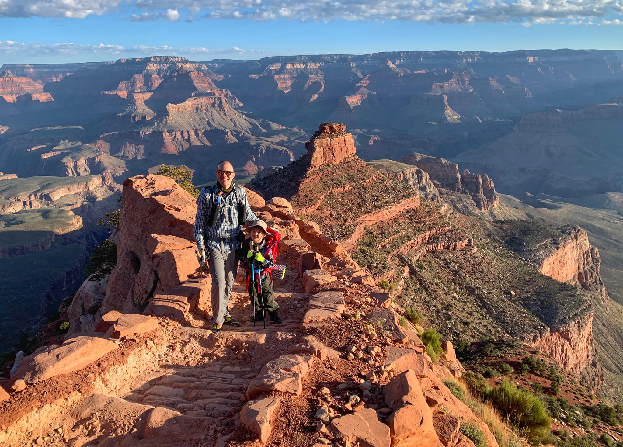
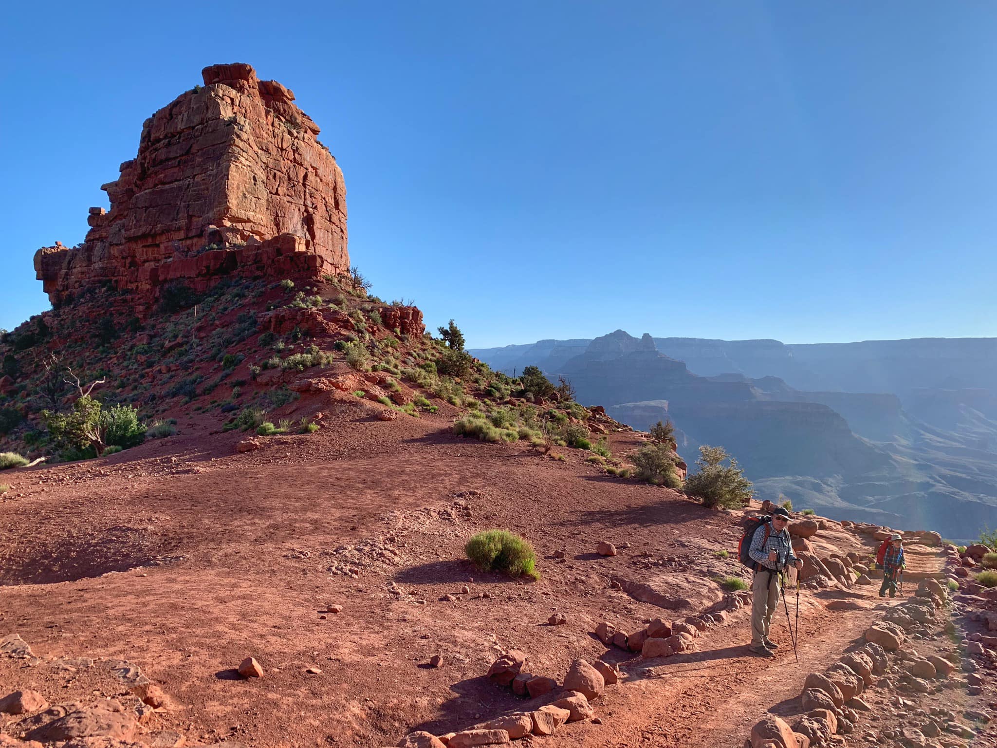
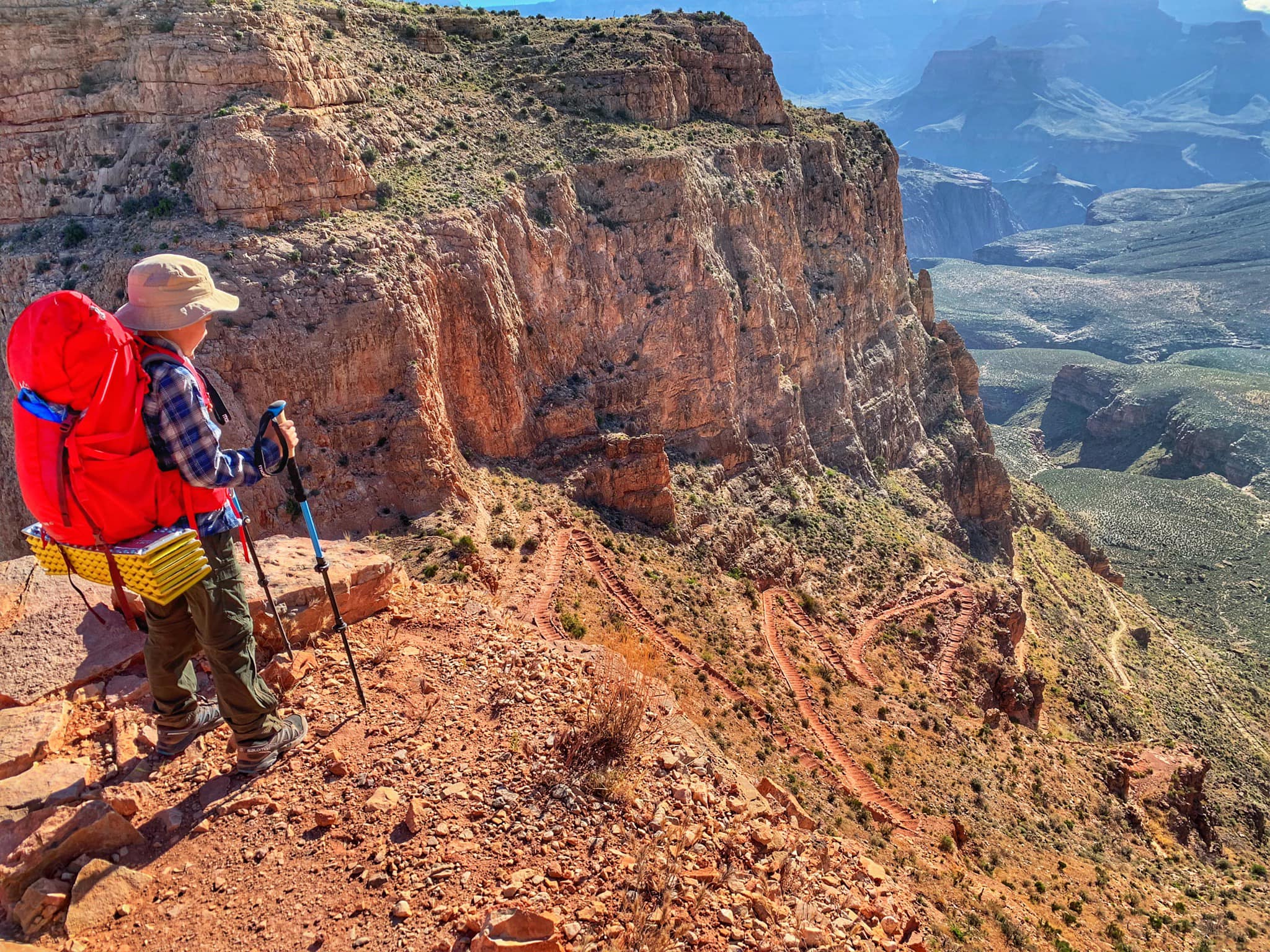
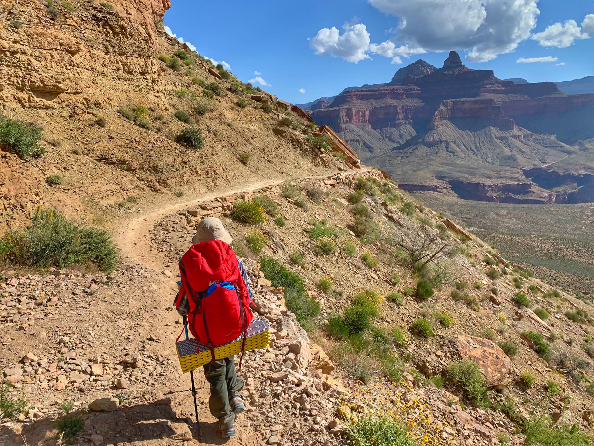
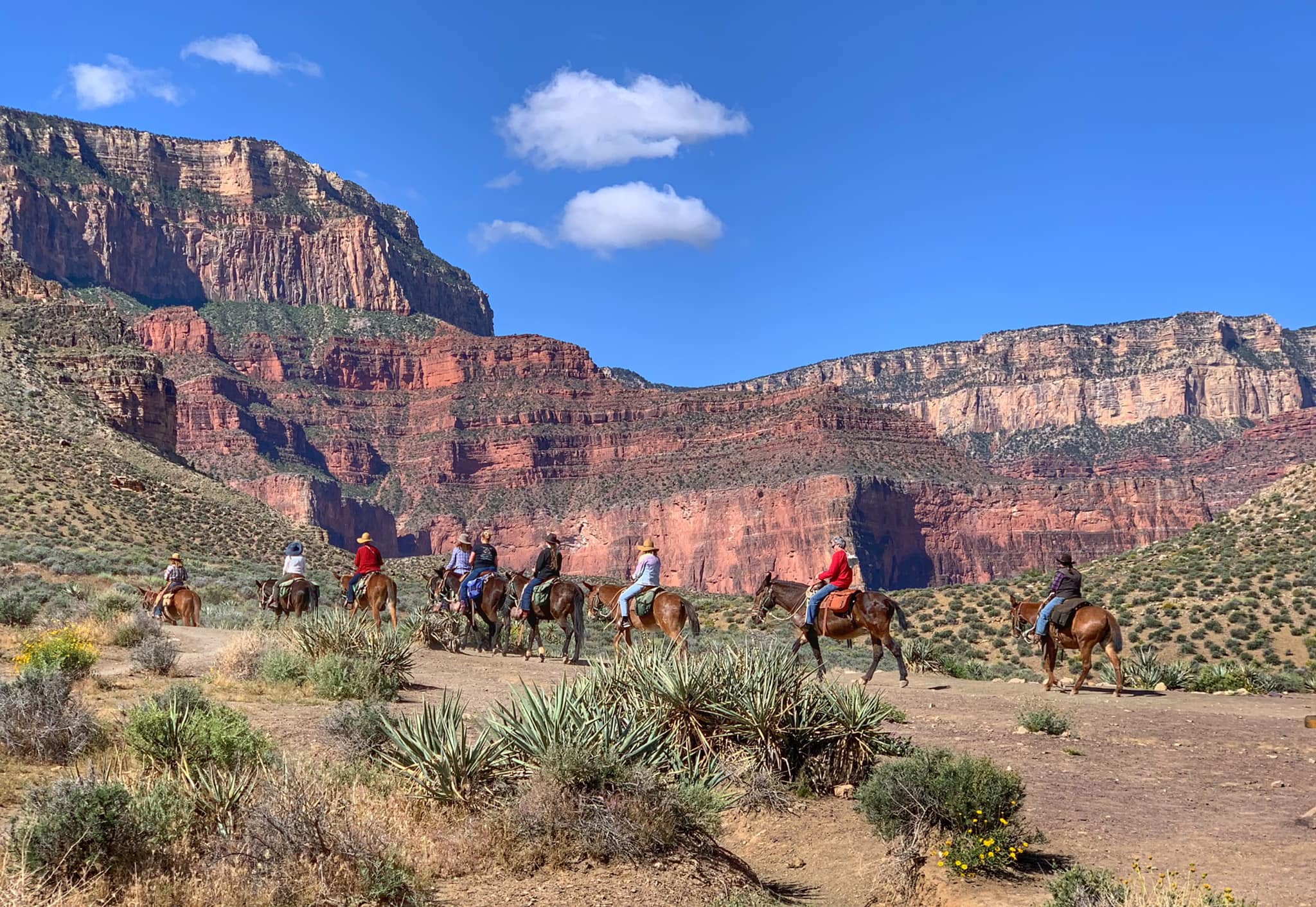
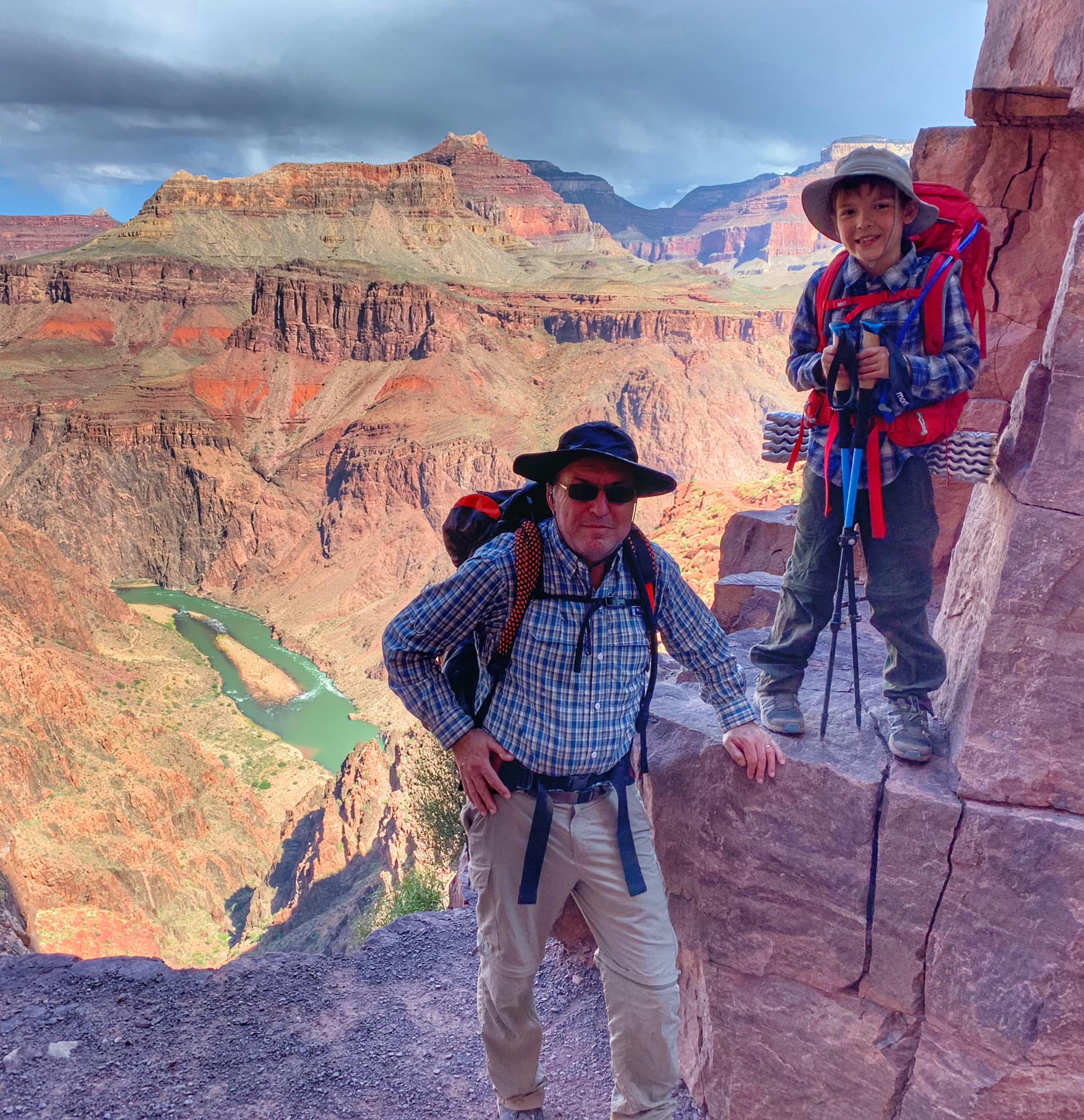
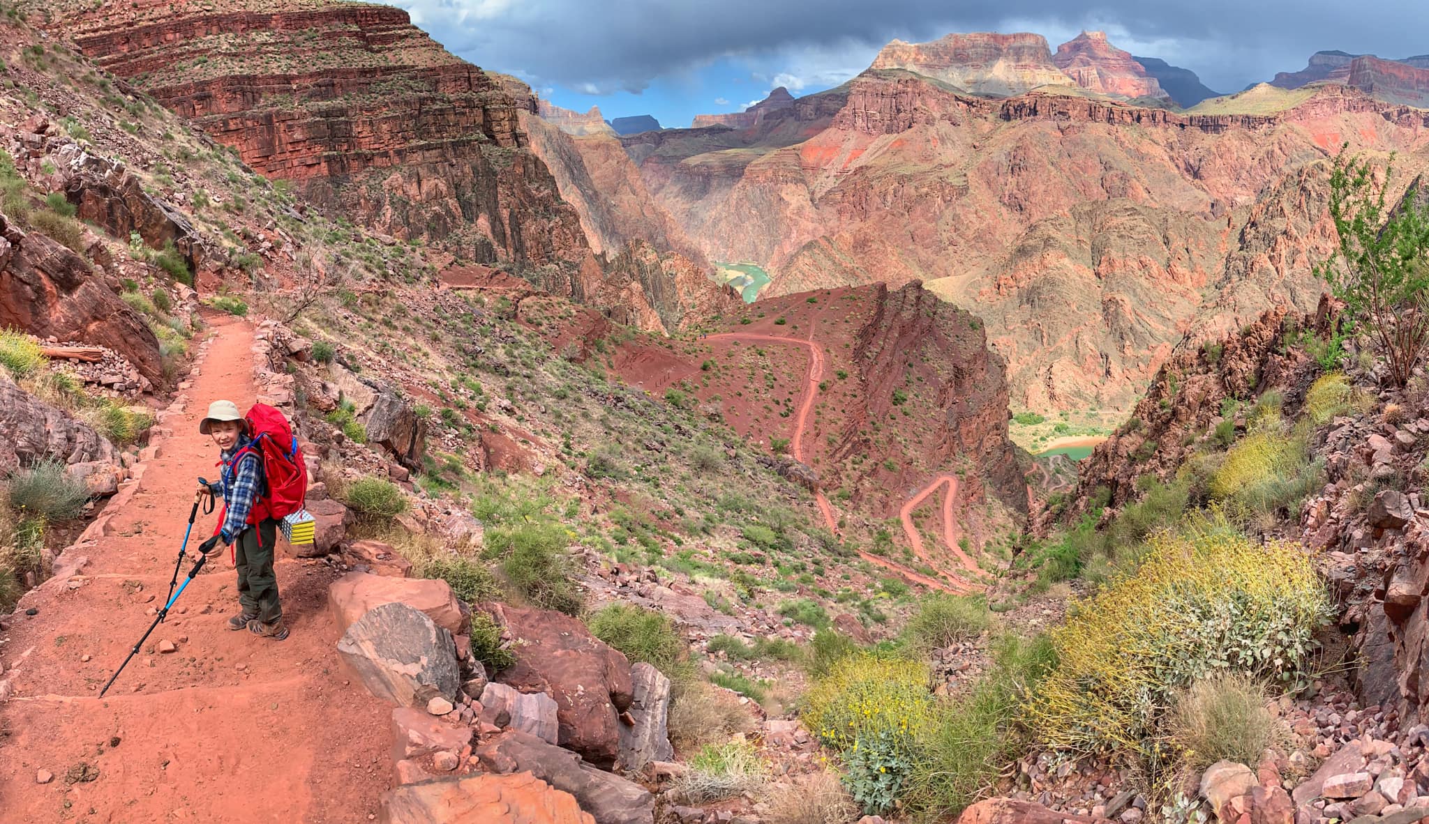
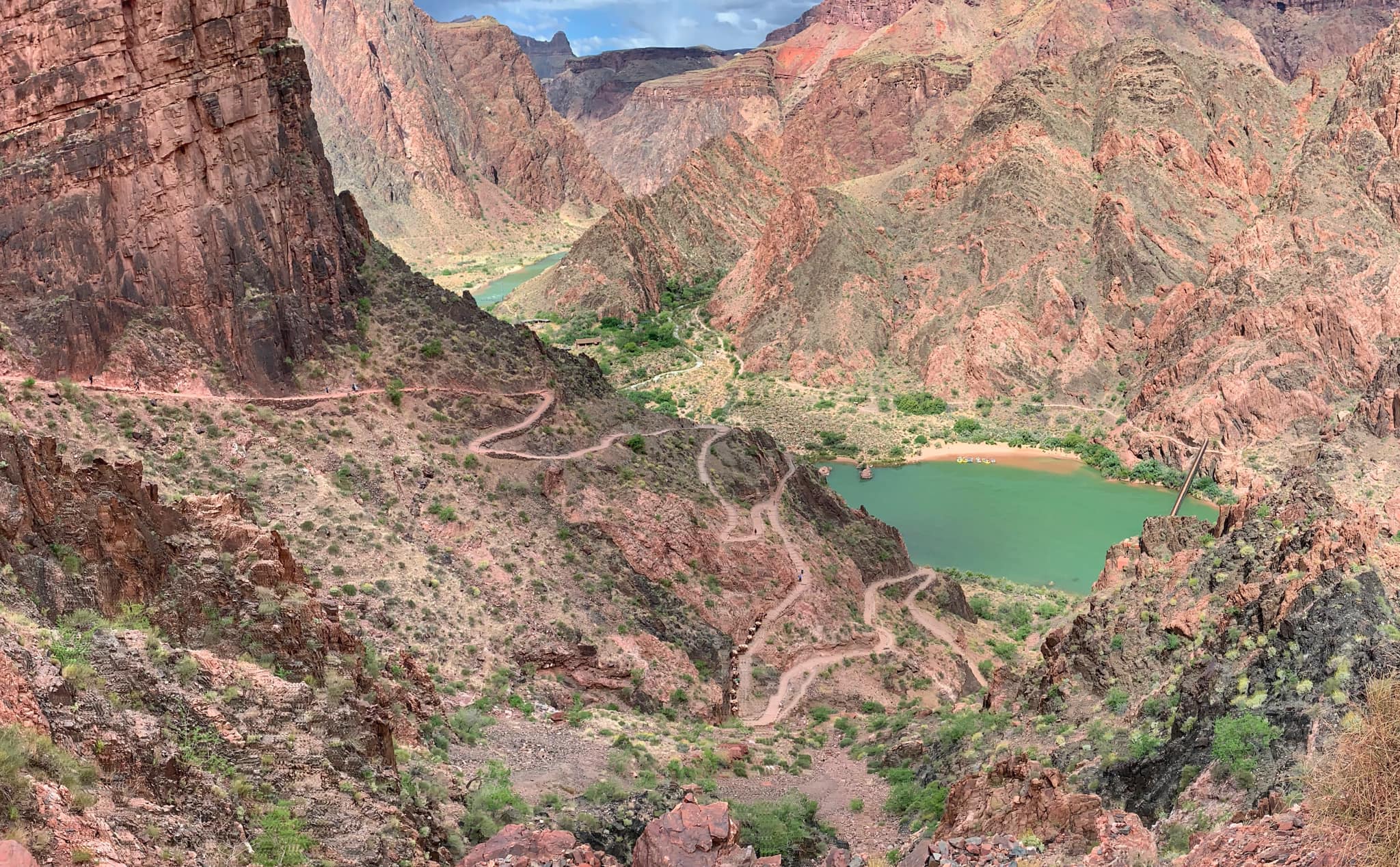
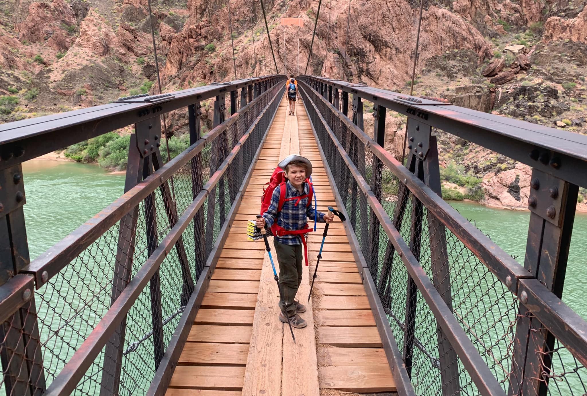
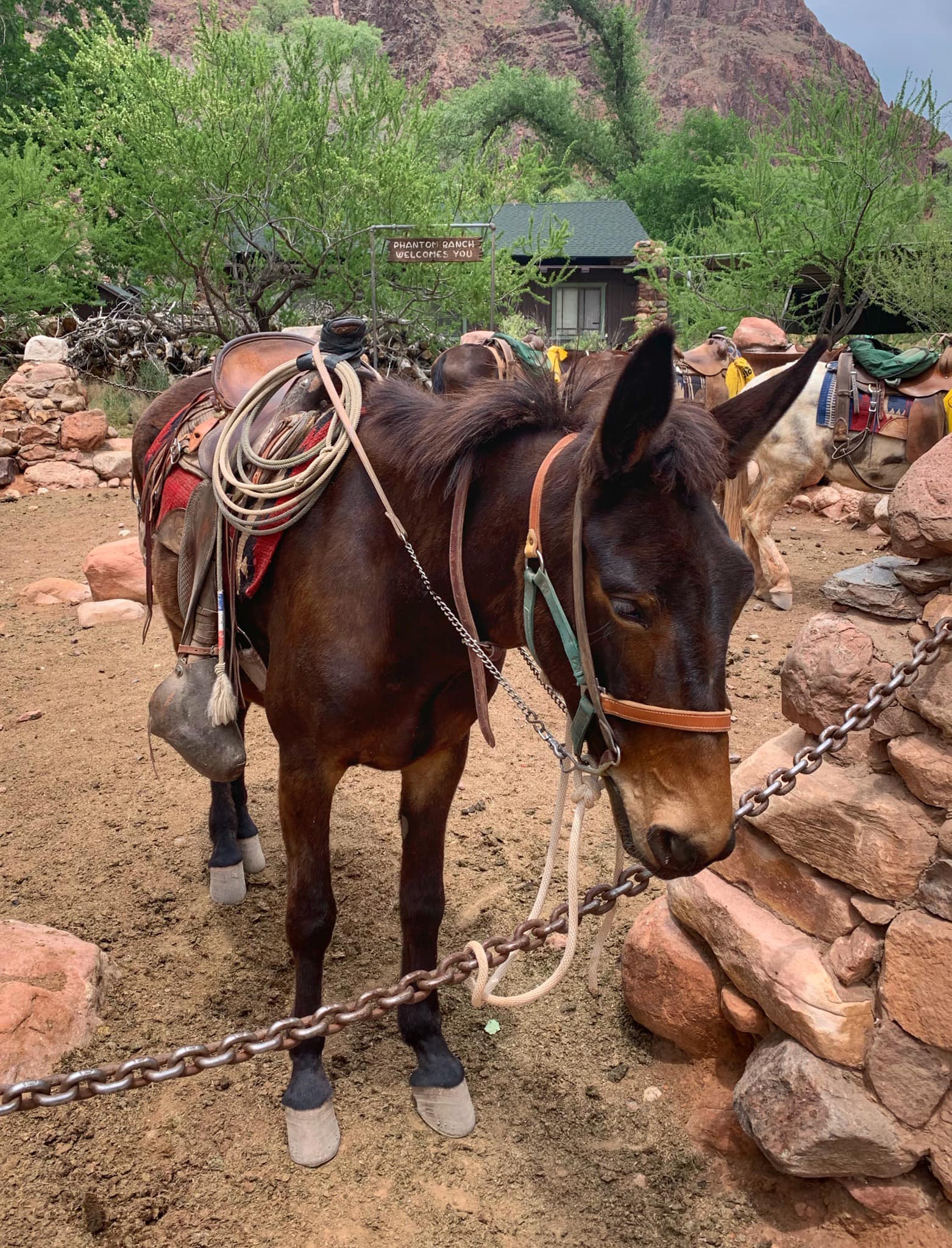
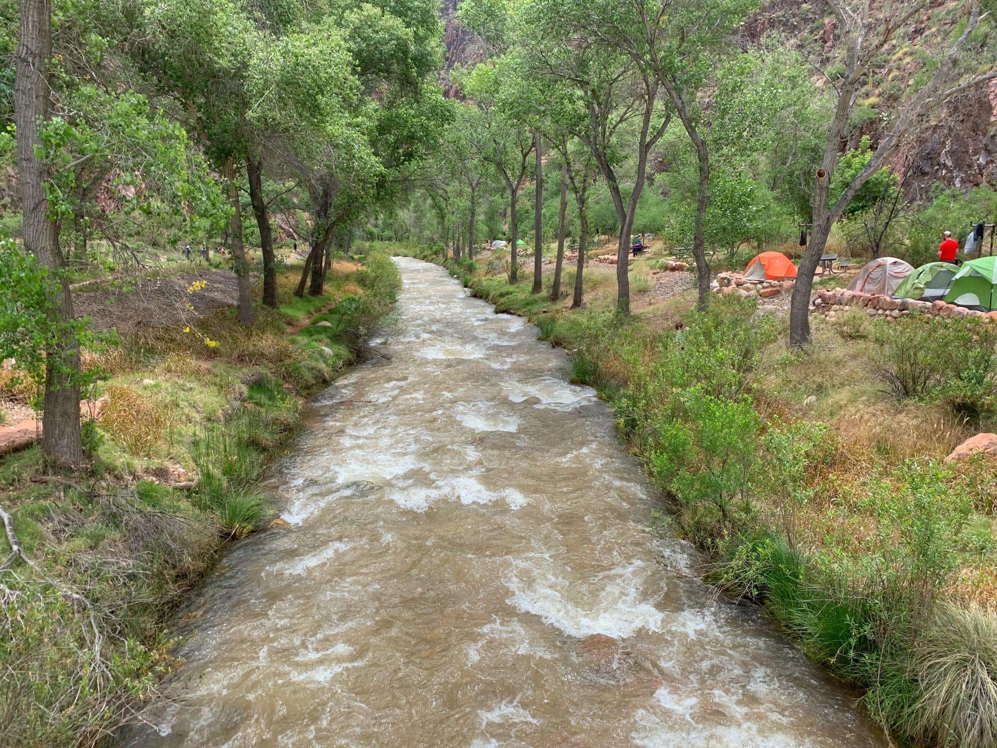
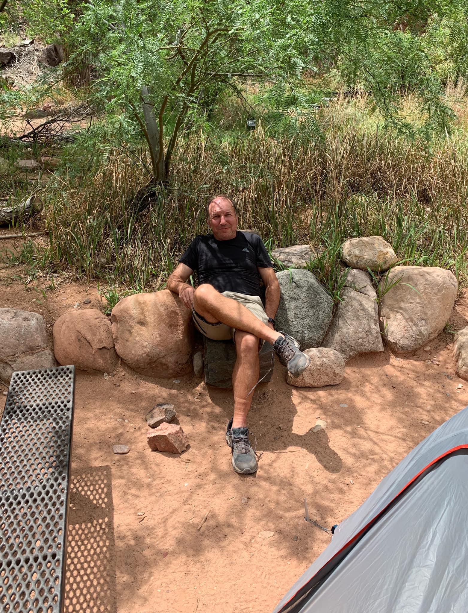
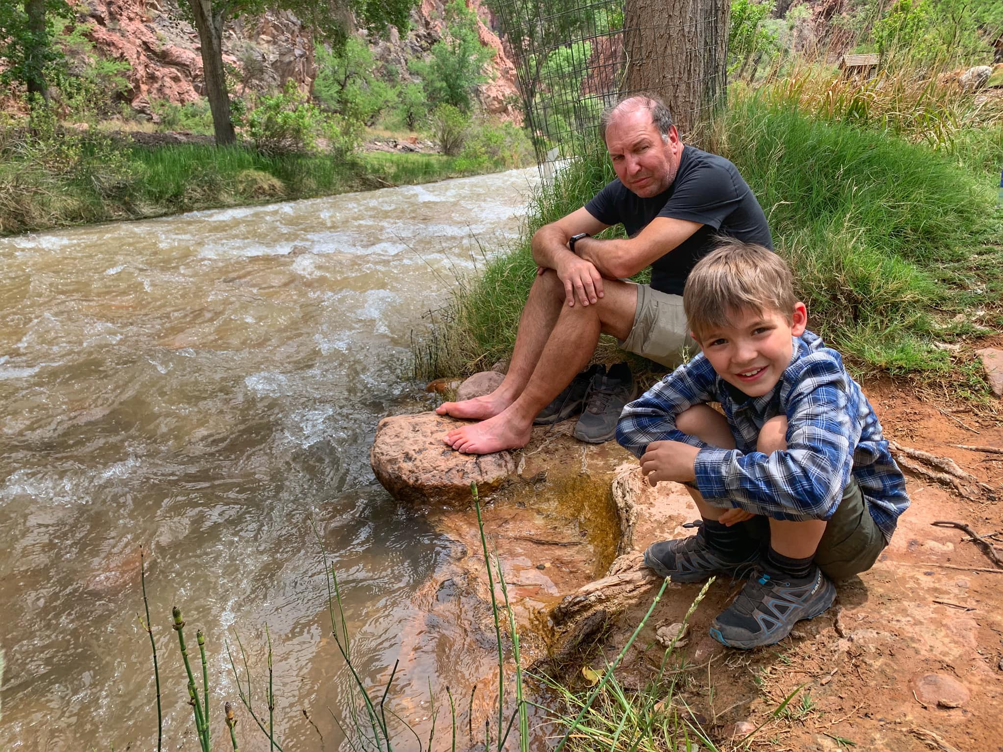
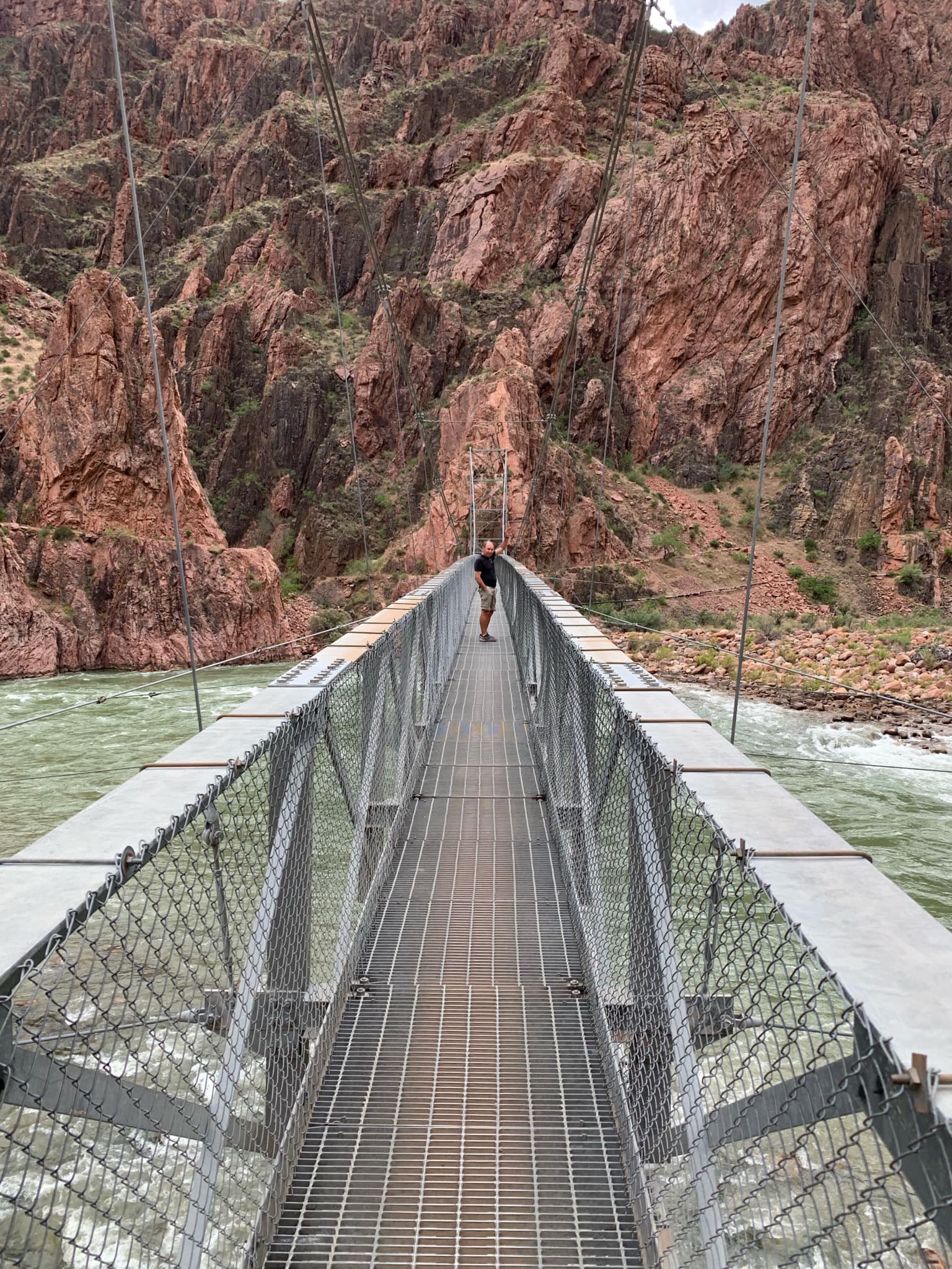
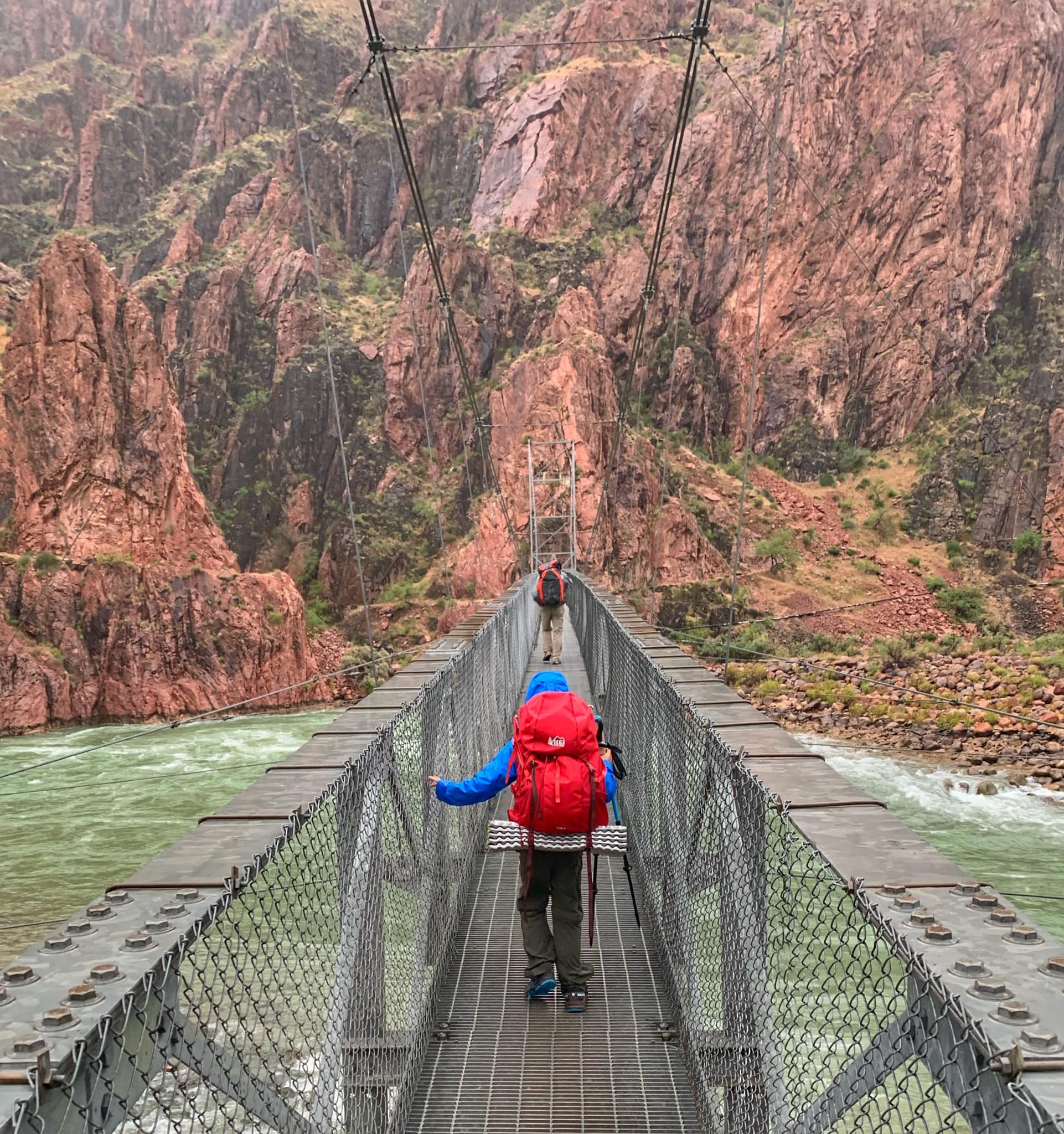
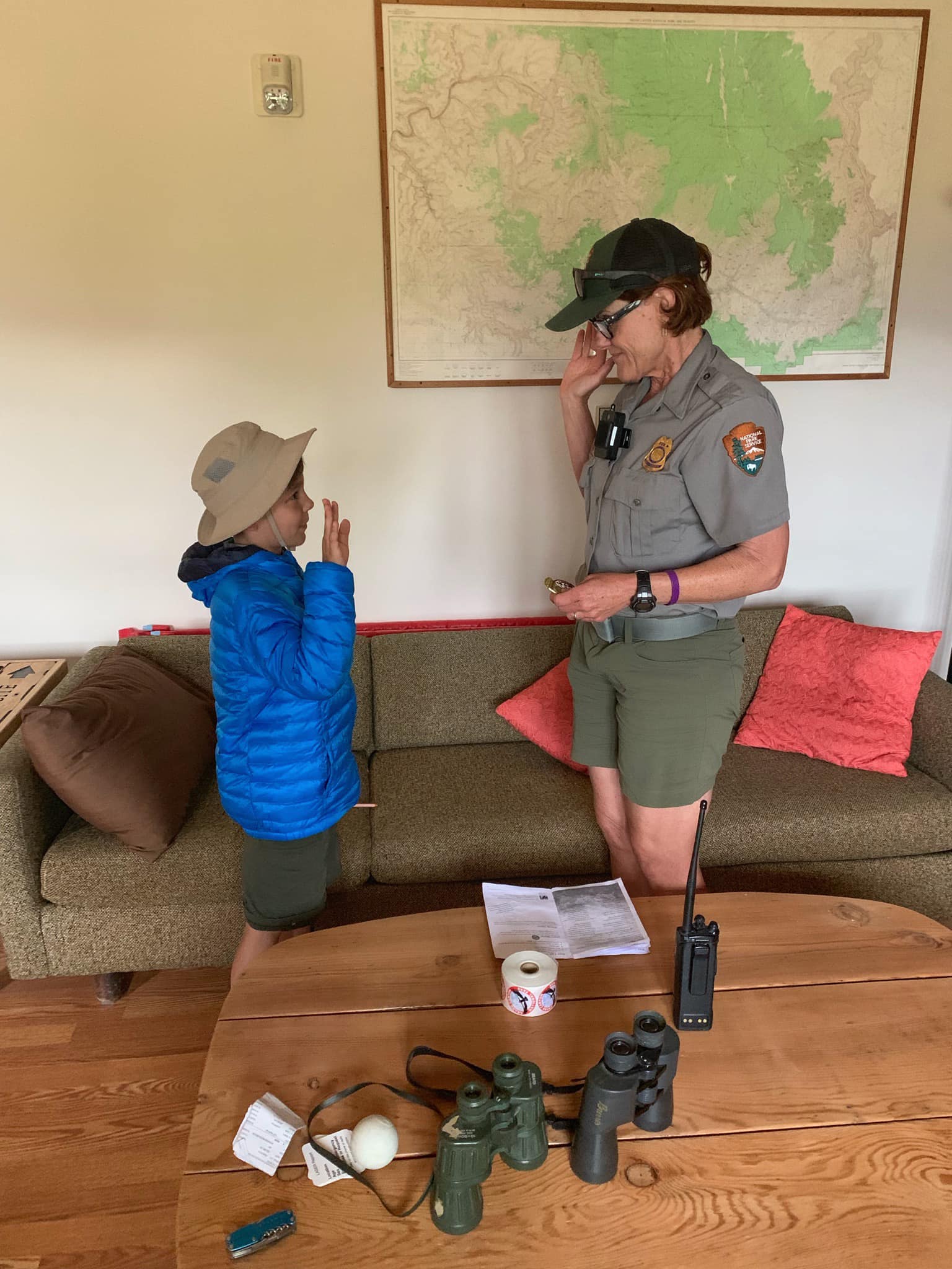
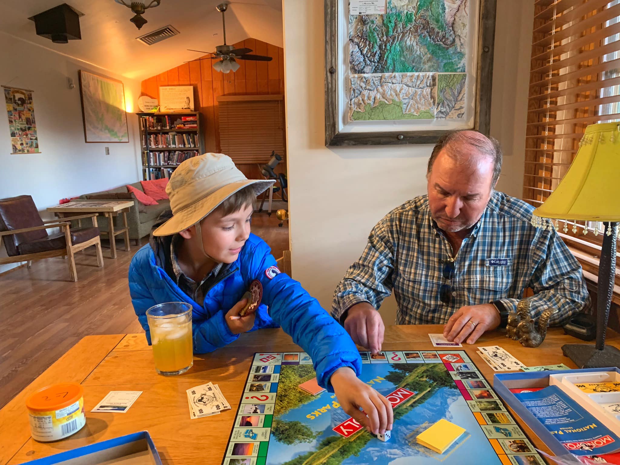
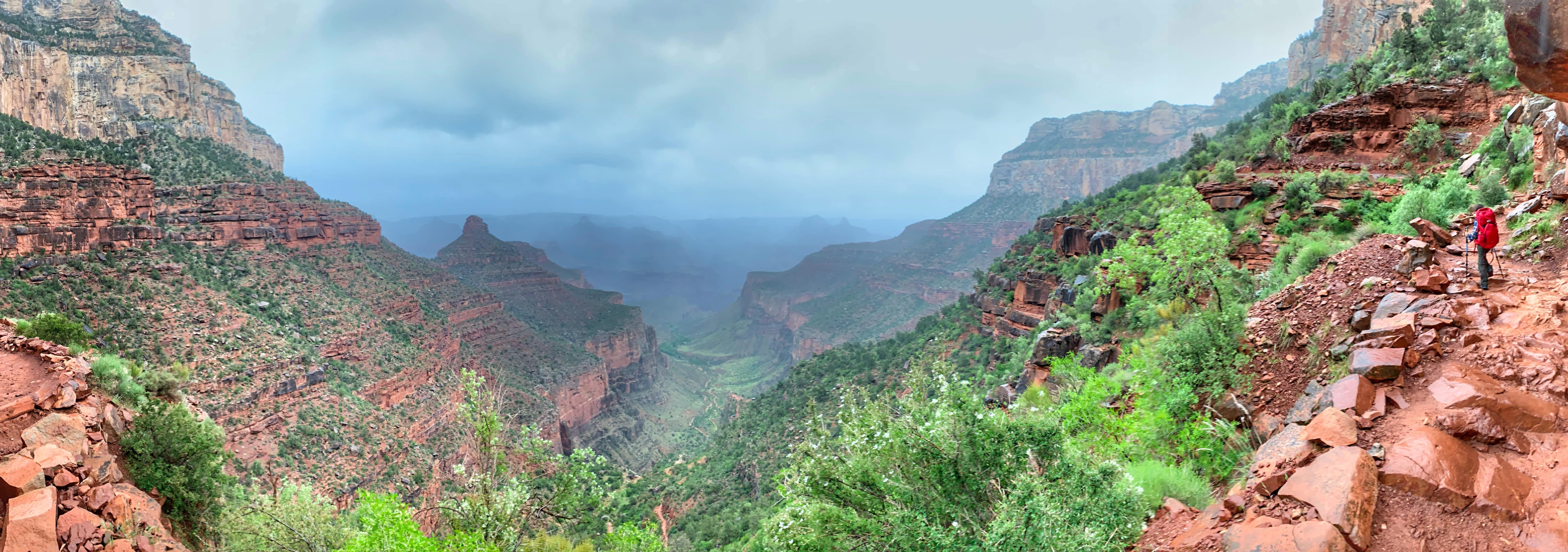
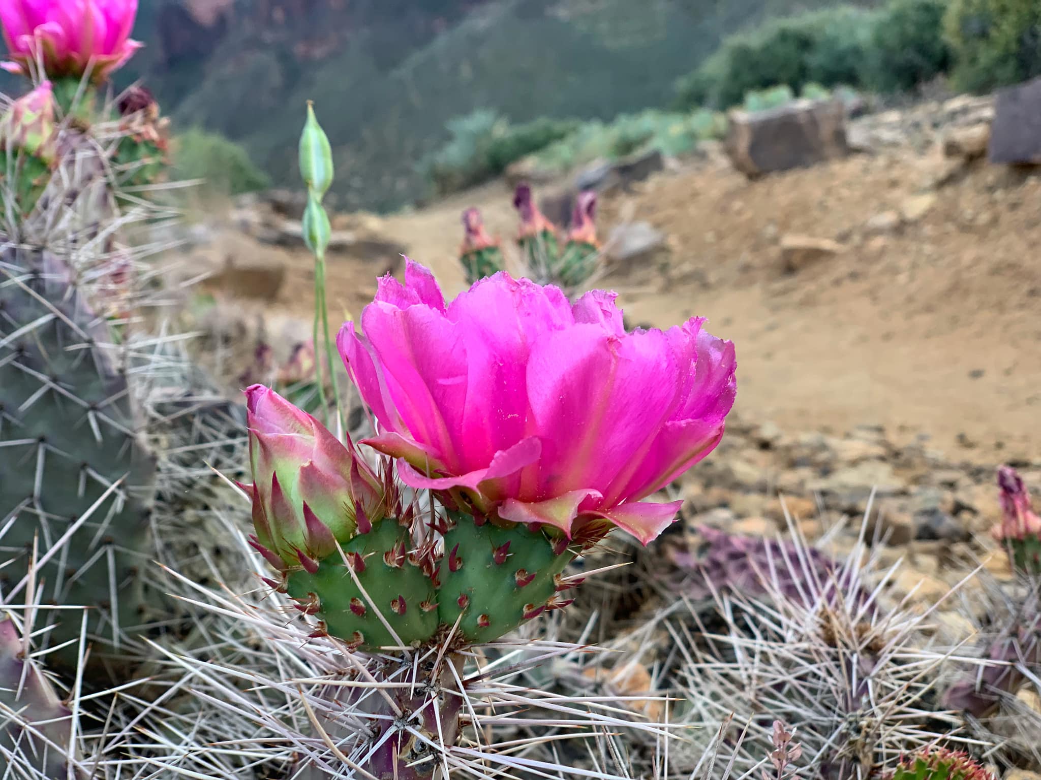
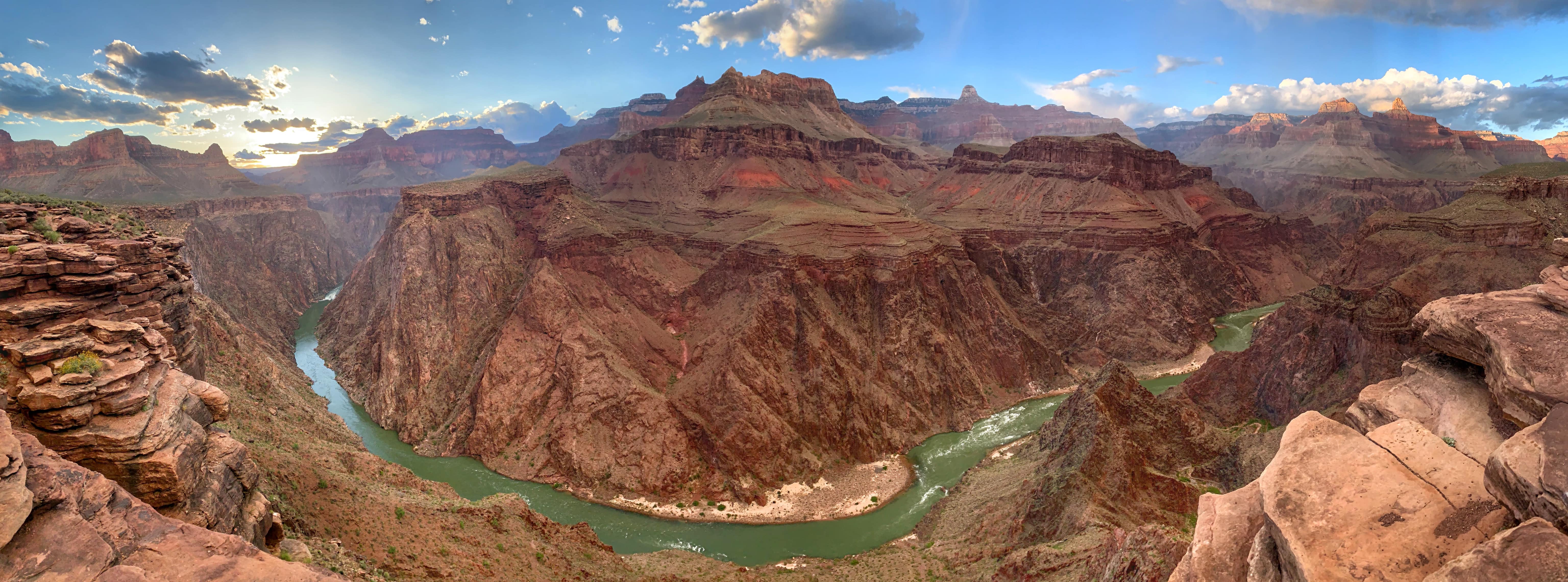
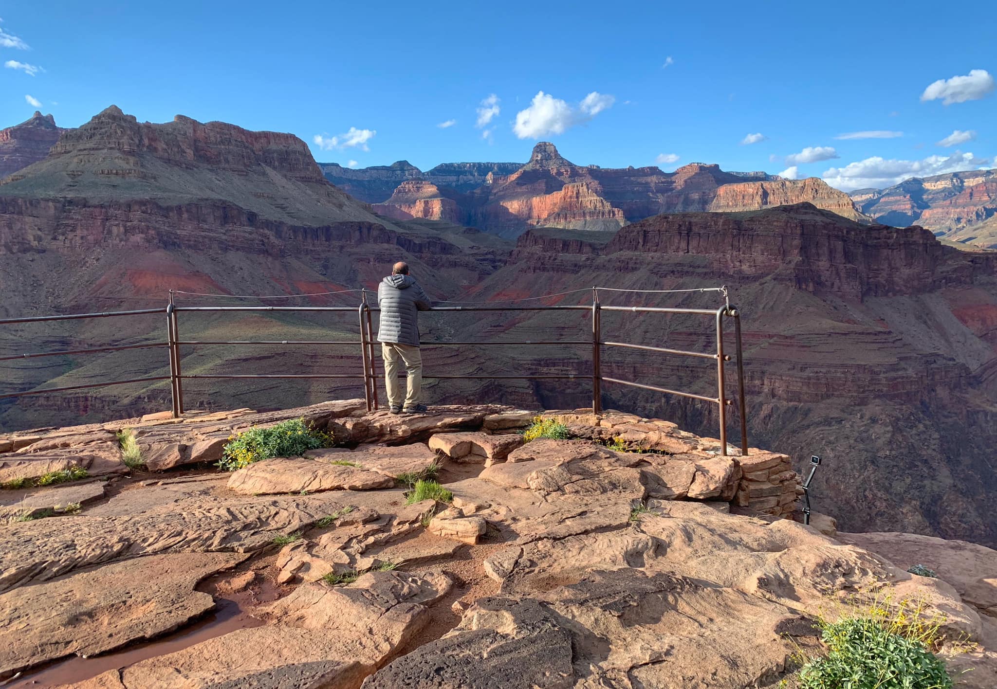
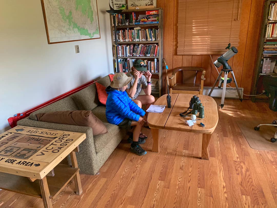
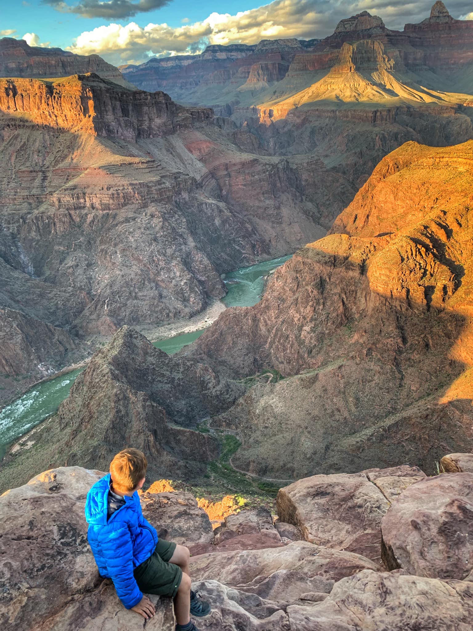
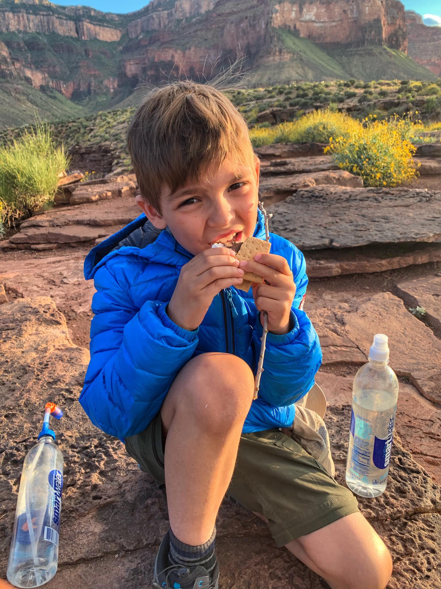
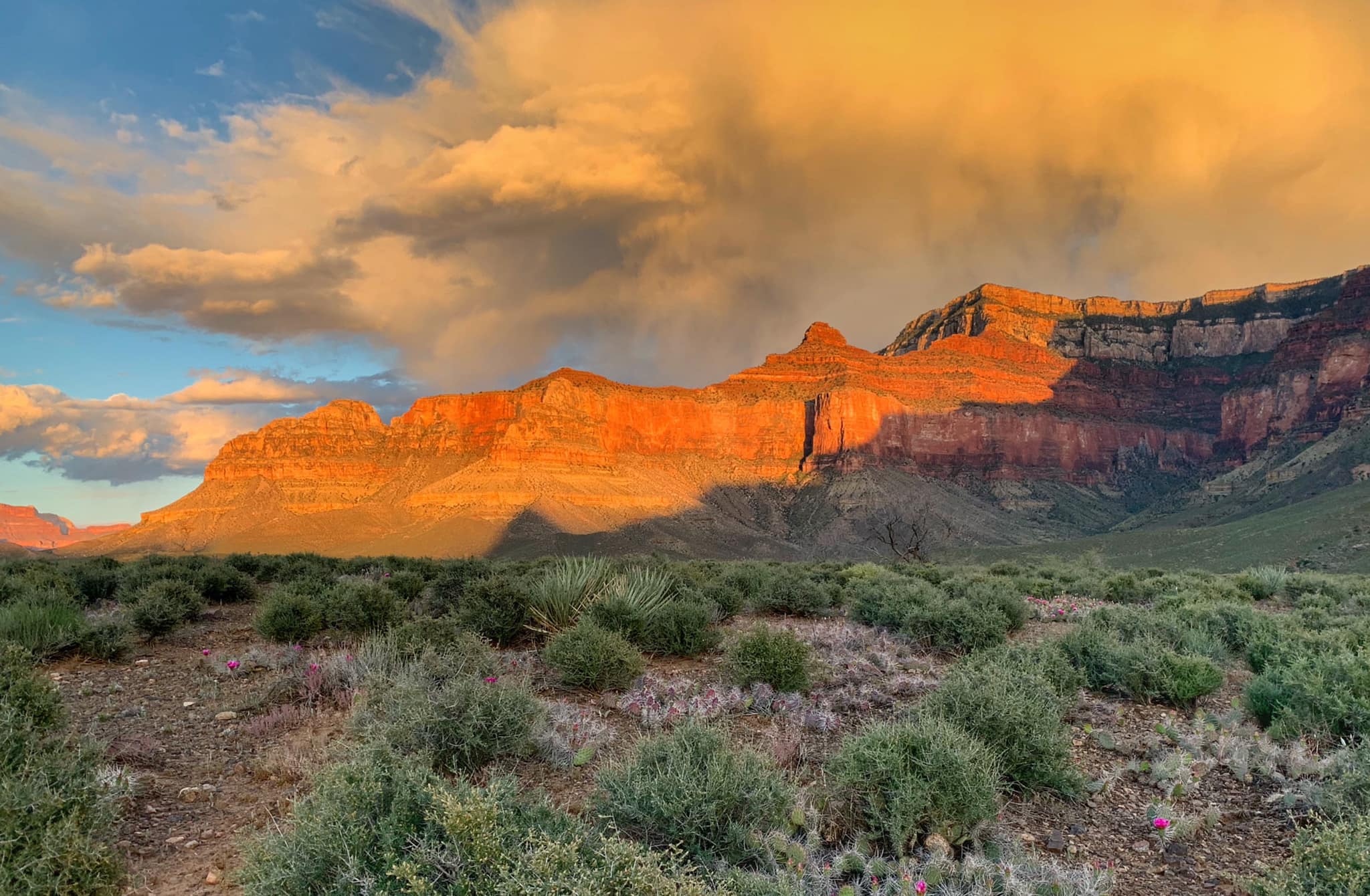
We went on a 3-day backpacking trip of the Grand Canyon with my dad and my 7-year-old son. Day 1: We took the South Kaibab Trail down and camped at the Bright Angel Campground. The temperature was around 100 when we arrived, but we enjoyed some cold beer at the Phantom Ranch Canteen. Day 2: We got up early for breakfast at the Canteen and then began our hike up the Bright Angel Trail. On the second night, we stayed at the Indian Garden Campground, where we met Ranger Della, who lent my son her binoculars, taught him about the park, and even let us play National Parks Monopoly in the ranger station. At sunset, we visited Plateau Point. Day 3: The toughest day, raining and freezing cold, we finished our hike up to the rim.
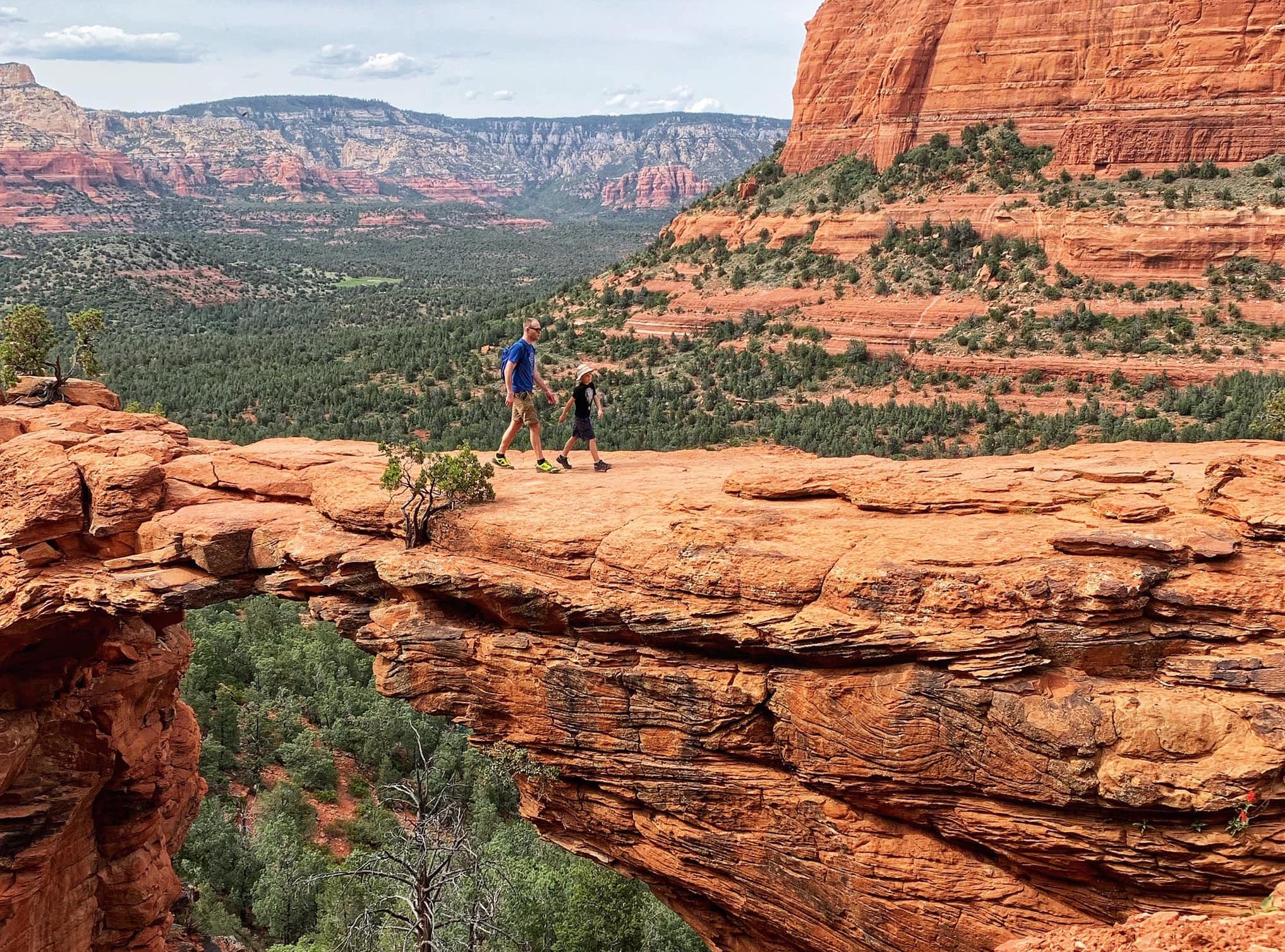
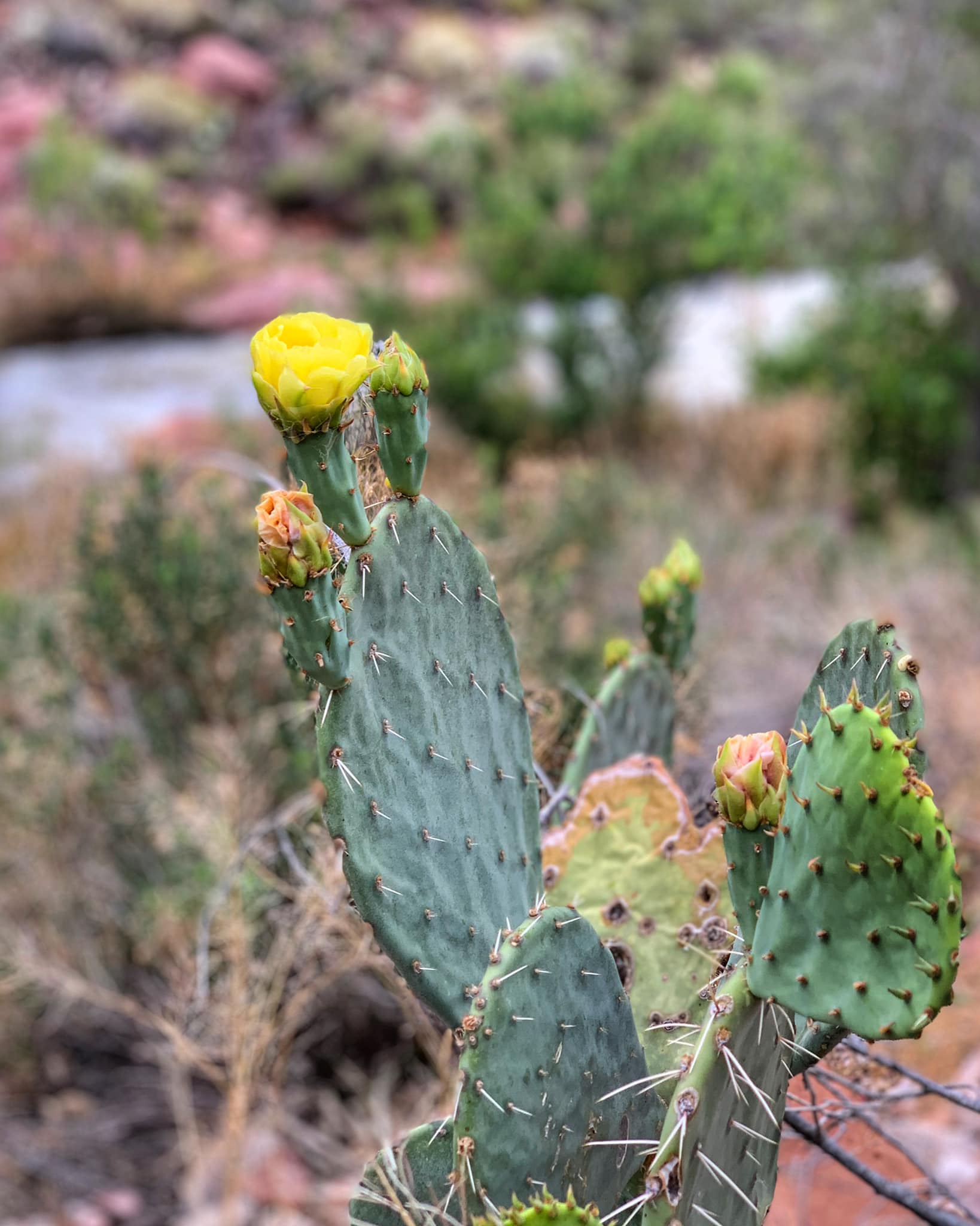
Devil's Bridge is the largest natural sandstone arch in the Sedona area. If you don't have a 4X4, it's a relatively easy 4.5 mile round trip hike in the Cococino National Forest. Just make sure you bring enough water. It's hot and dry.
We walked the Palmetto, Bayou Coquille Trail, and Marsh Overlook Trails and spotted a good number of alligators. Highly recommend doing a guided tour here.
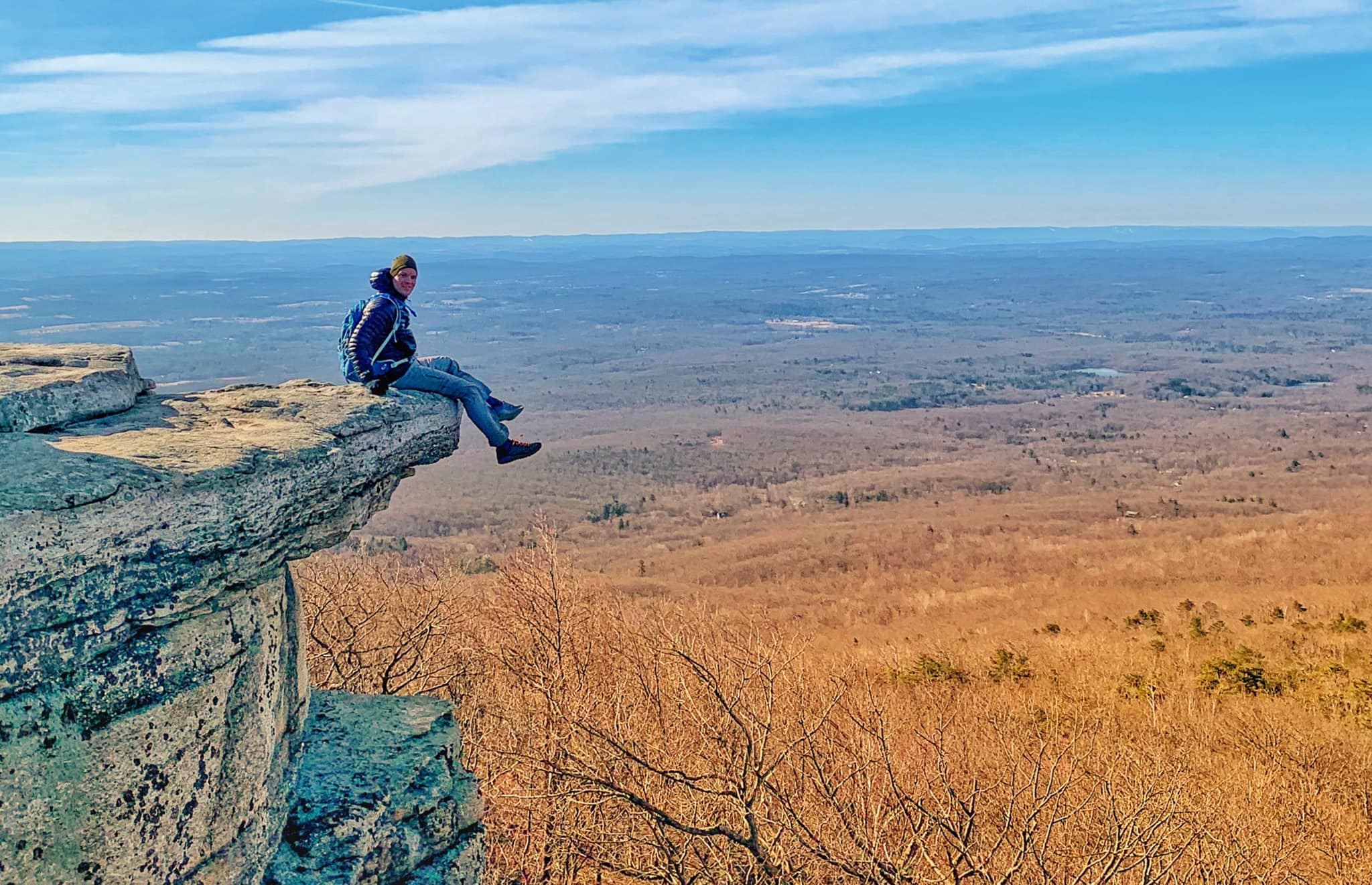
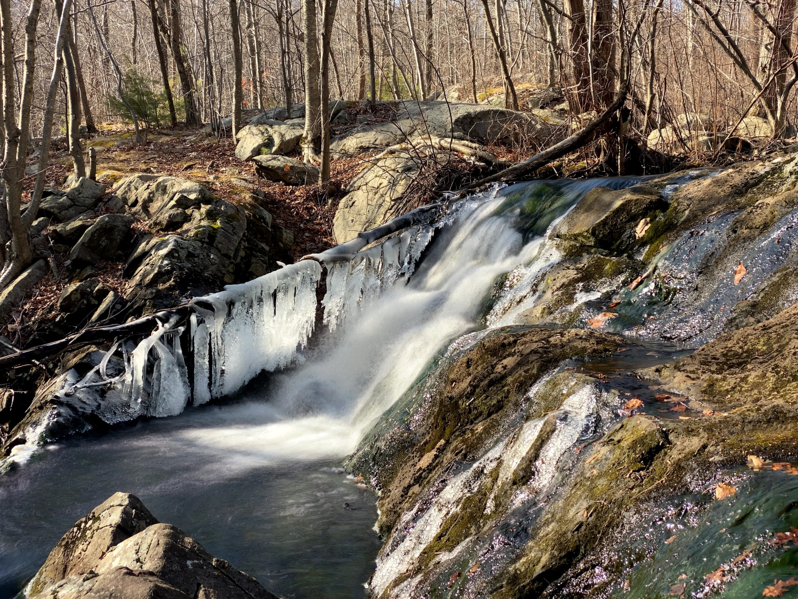
Overview: One brisk March morning, my friend and I set out for a morning hike to Sam's Point and Verkeerderkill Falls in the Sam's Point Preserve in Minnewaska State Park. Sam’s Point is named for an early European settler named Sam Gonzales who is fabled to have jumped off the cliff escarpment while being pursued by Native Americans. Verkeerder Kill Falls is a spectacular 187 foot high waterfall, and we found it frozen when we visited. Hike Length: 6.0 miles round-trip Elevation gain: 700 feet Location: Minnewaska State Park Preserve: Sam's Point Area, 400 Sam's Point Road, Cragsmoor, NY 12420 Parking & Logistics: Sam's Point has a small parking lot that fills up early. Arrive early or visit at non-peak times. Sam's Point opens at 9:00am. The vehicle use fee is $10 per car. Closing times vary throughout the year. Maps: NY-NJ Trail Conference Shawangunk Trails map,Minnewaska State Park Preserve - Sam's Point Area Trail Map, Minnewaska State Park Preserve Trail MapDogs: Dogs must be on a 6-foot or shorter leash.
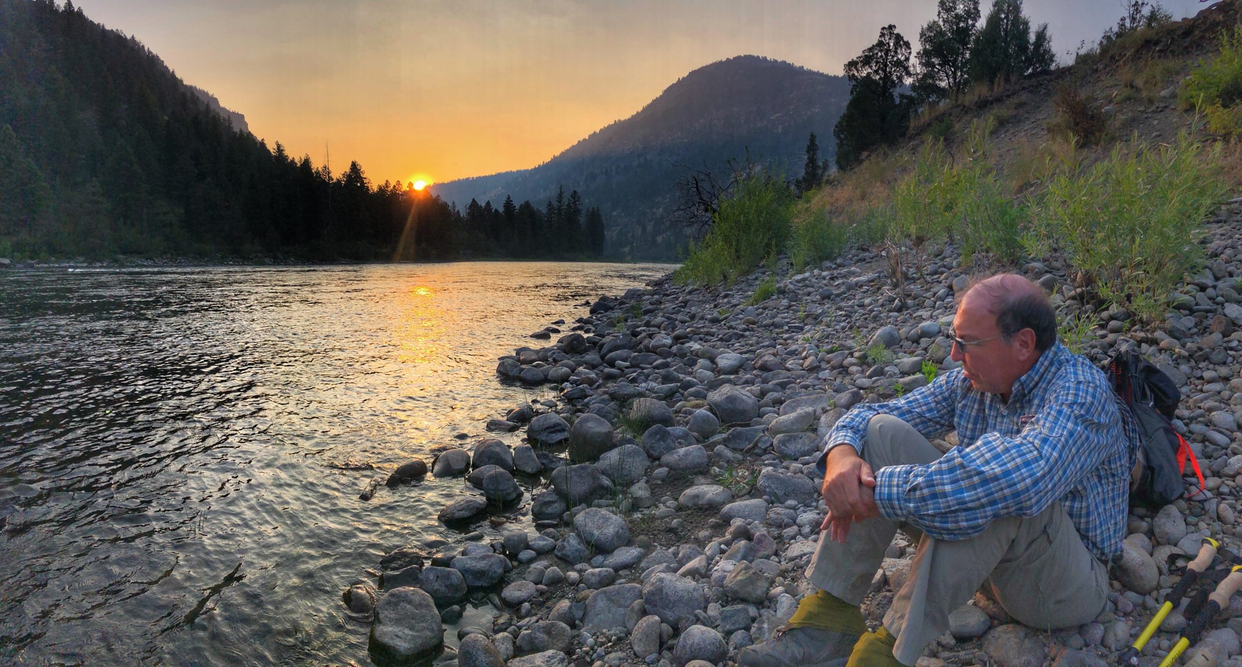
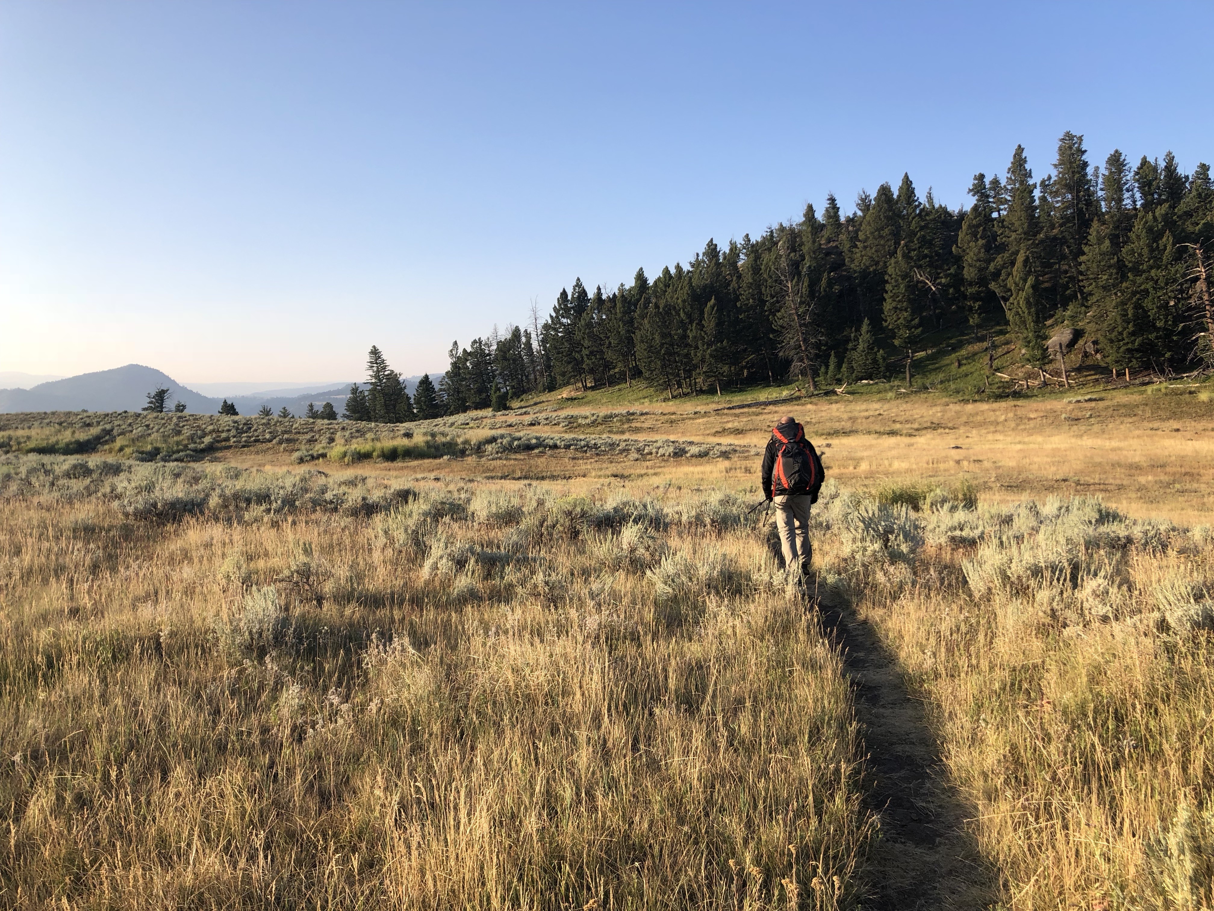
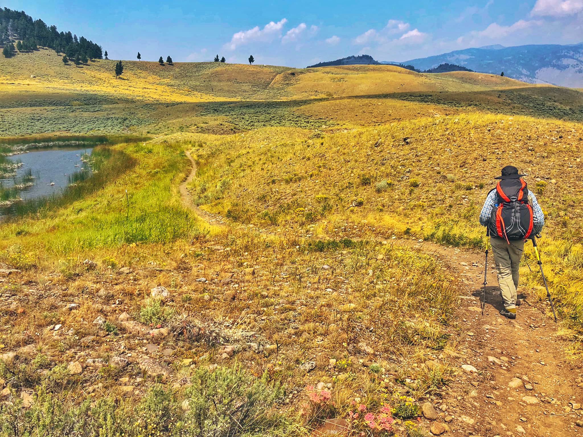
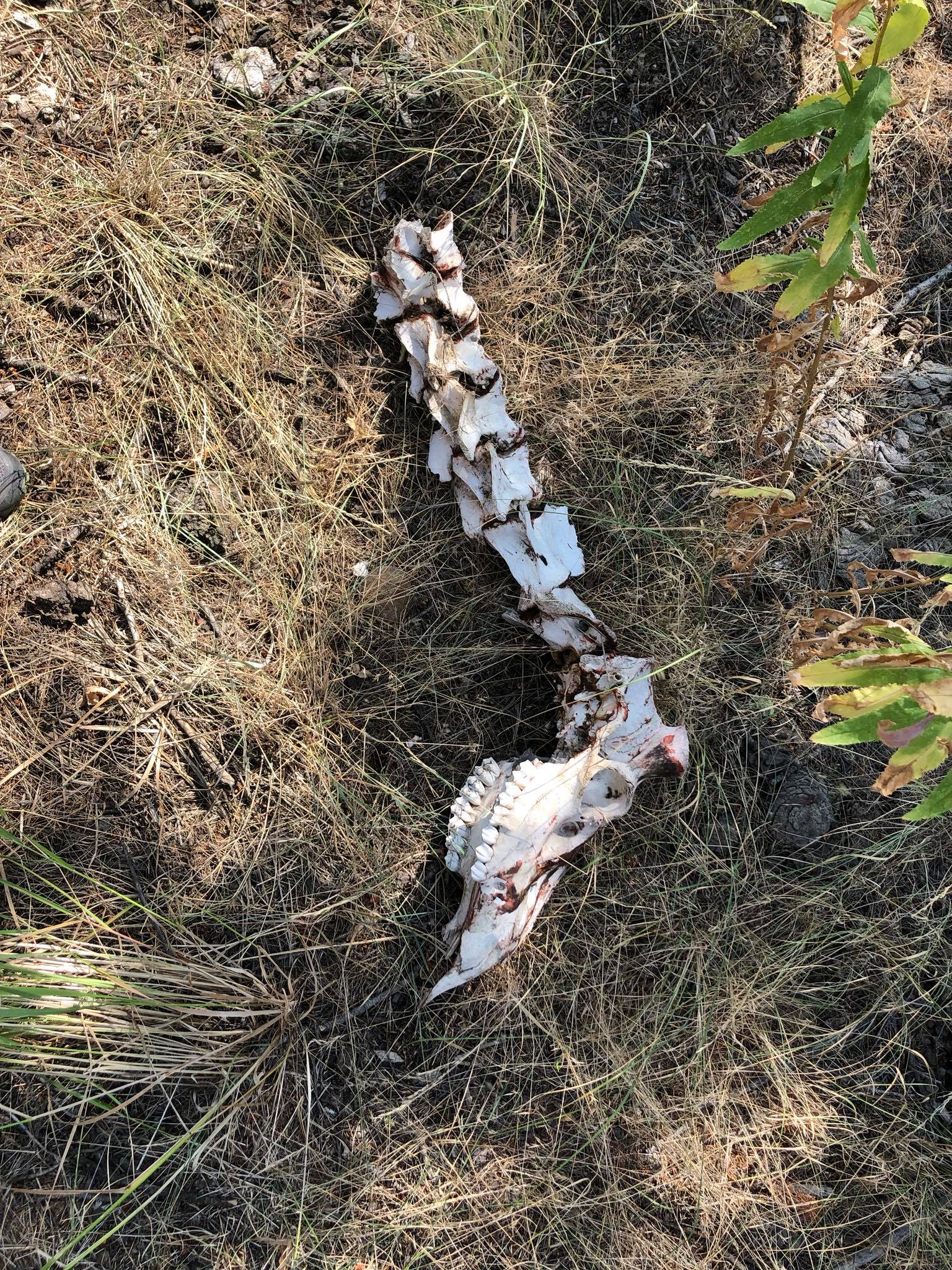
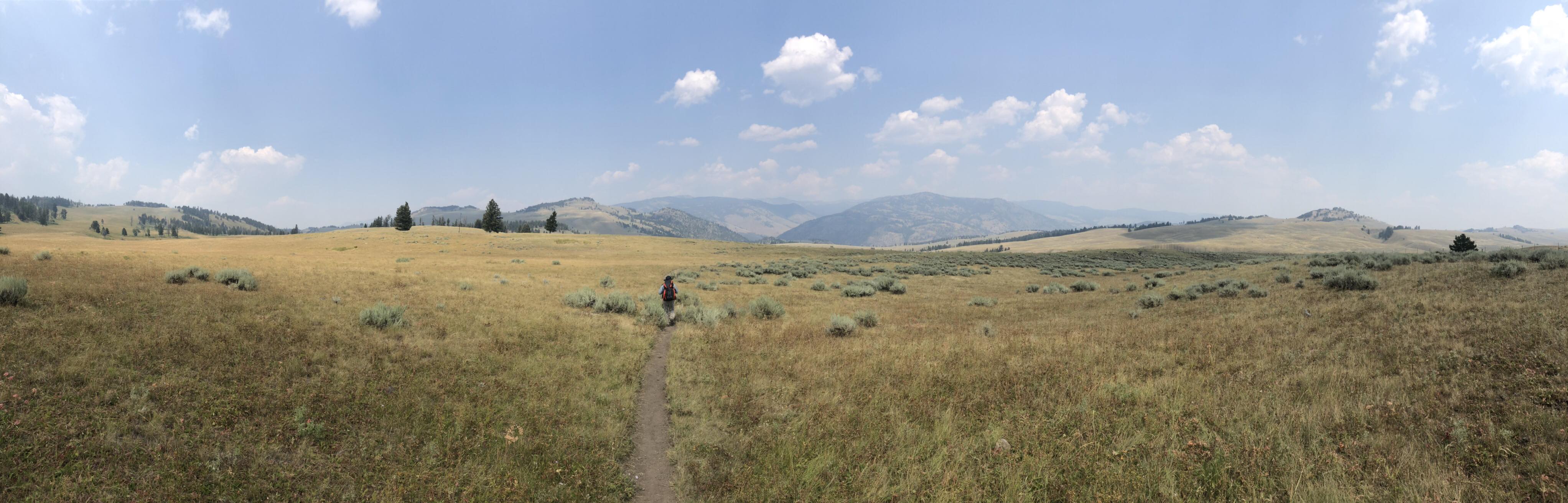
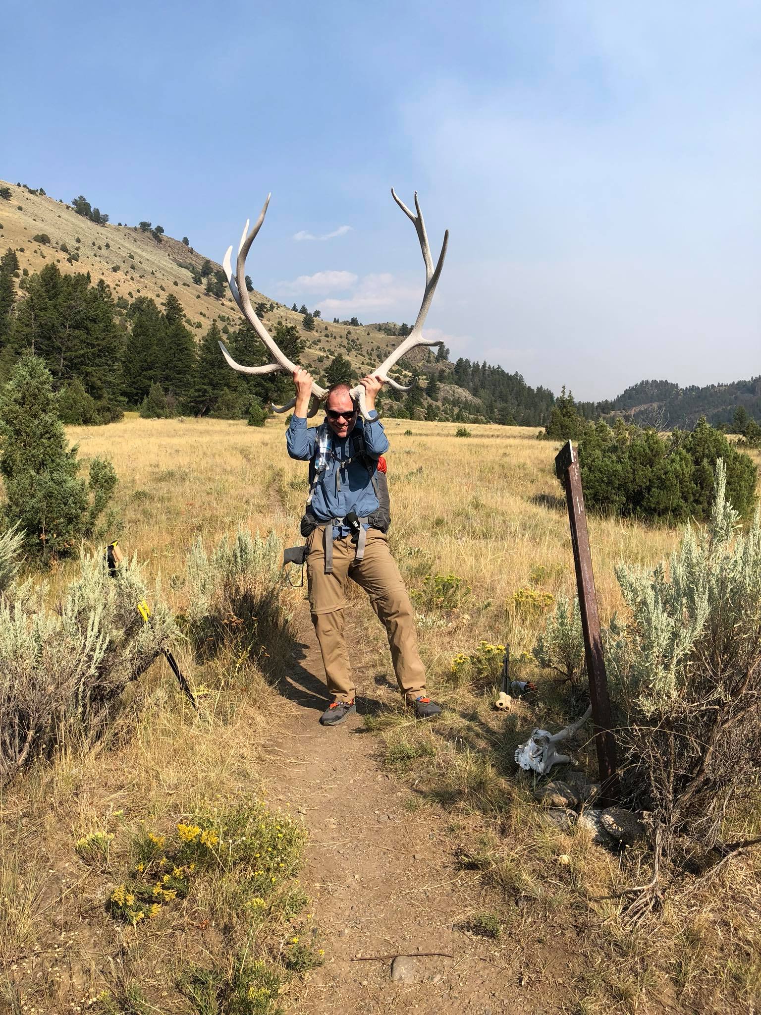
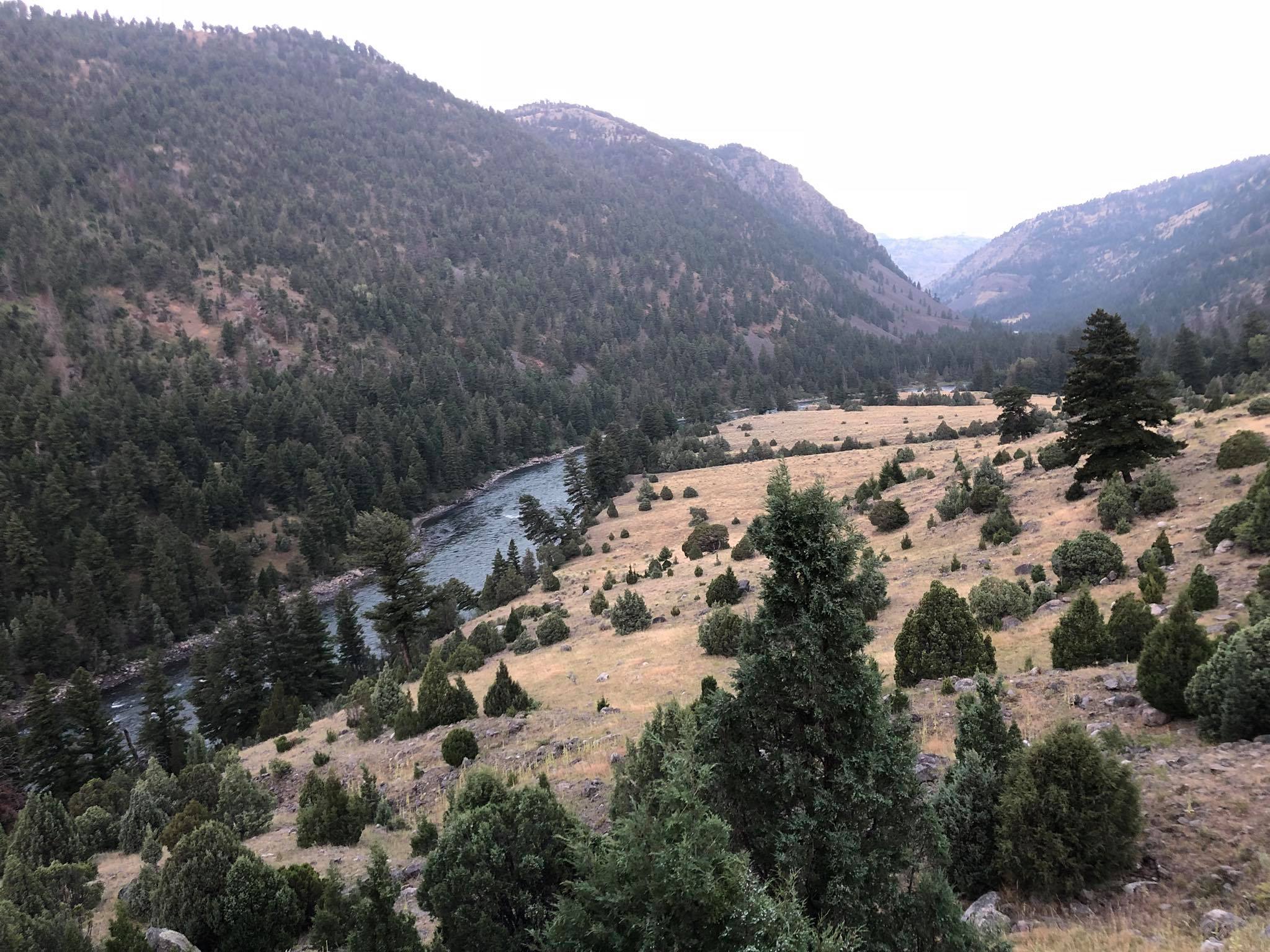
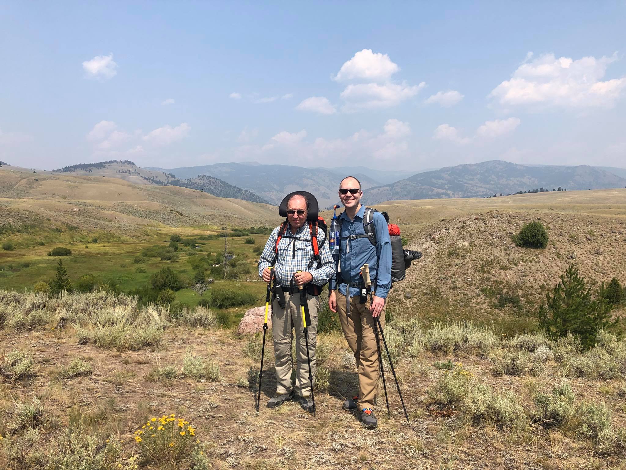
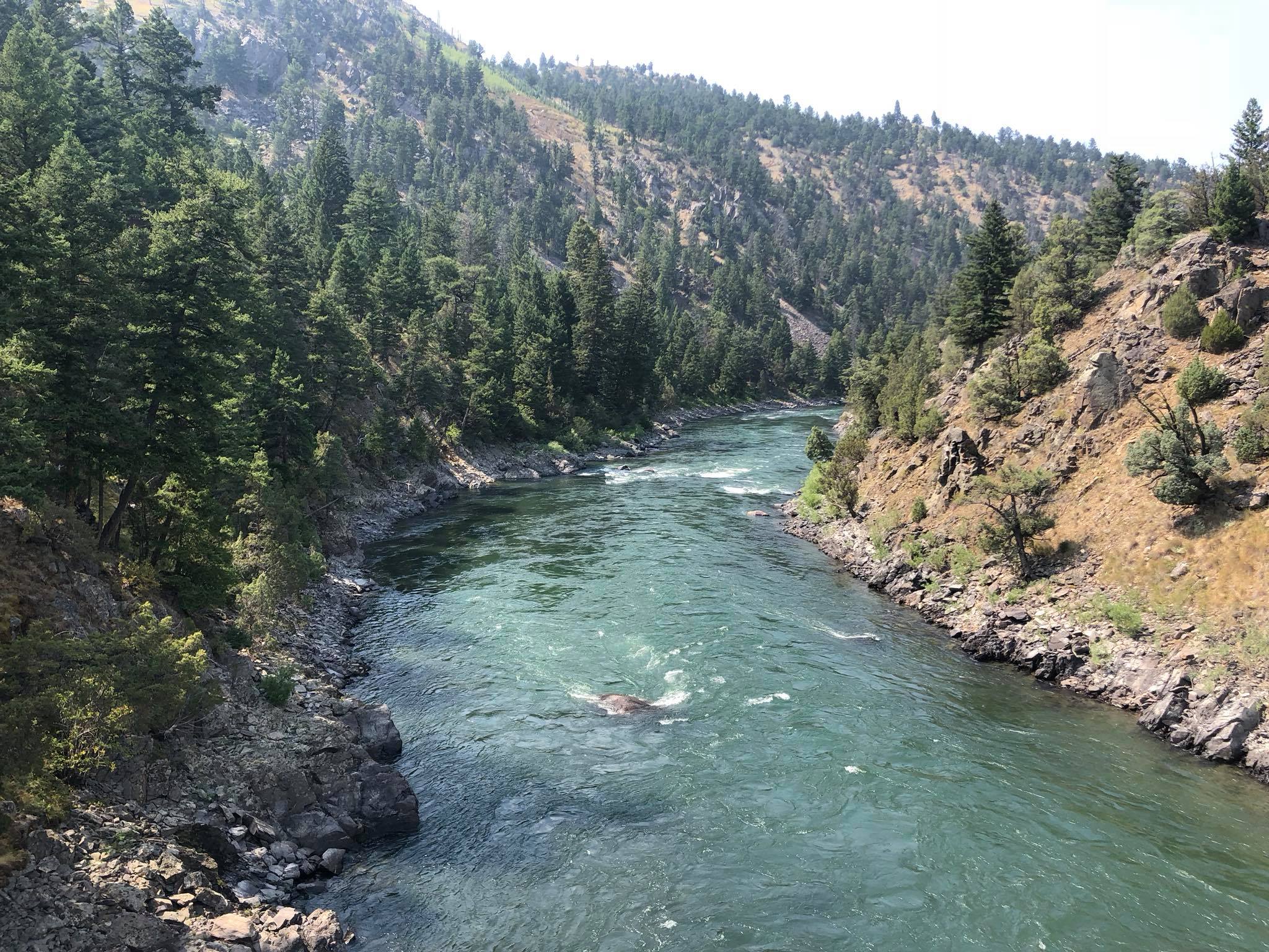
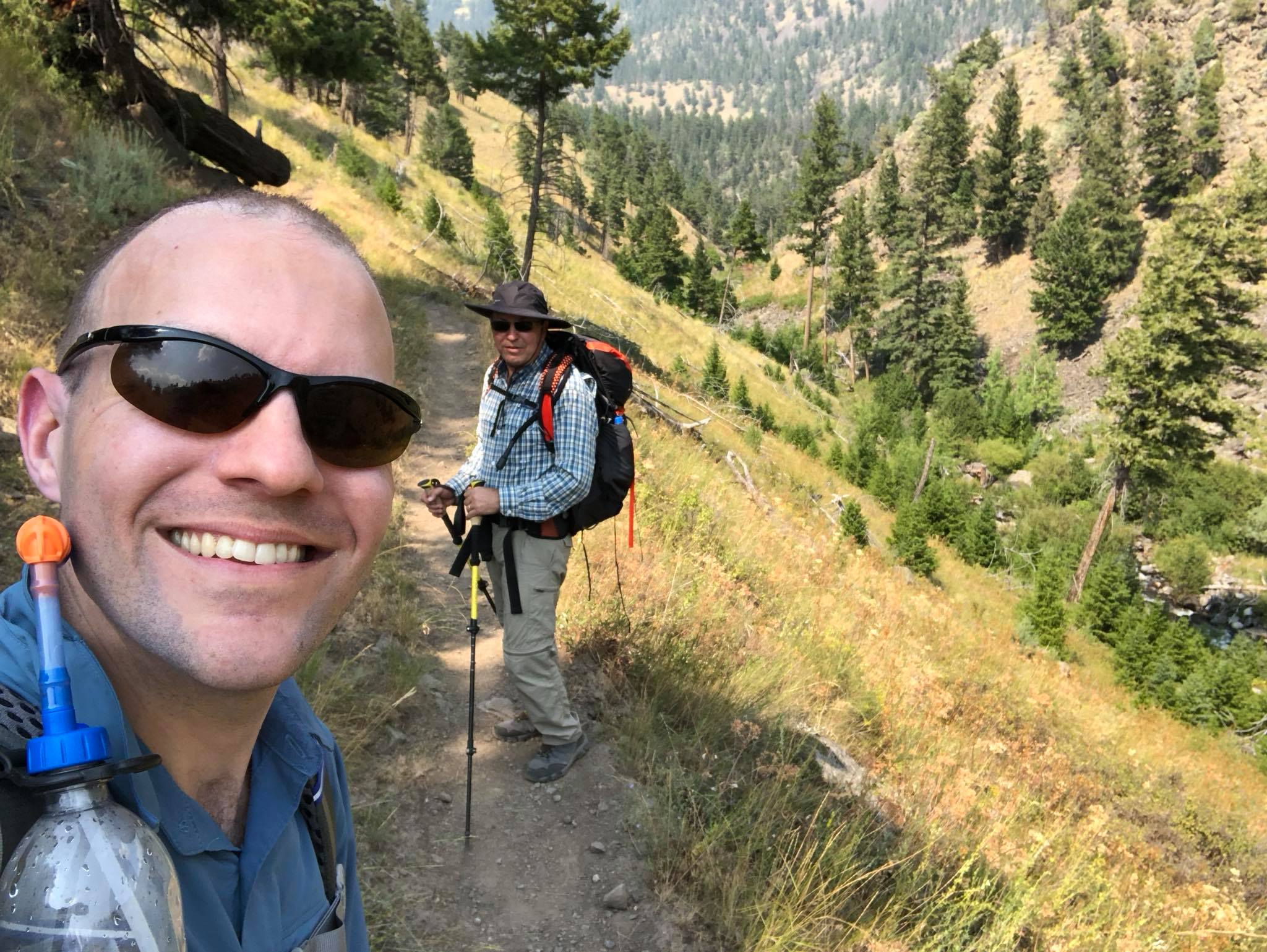
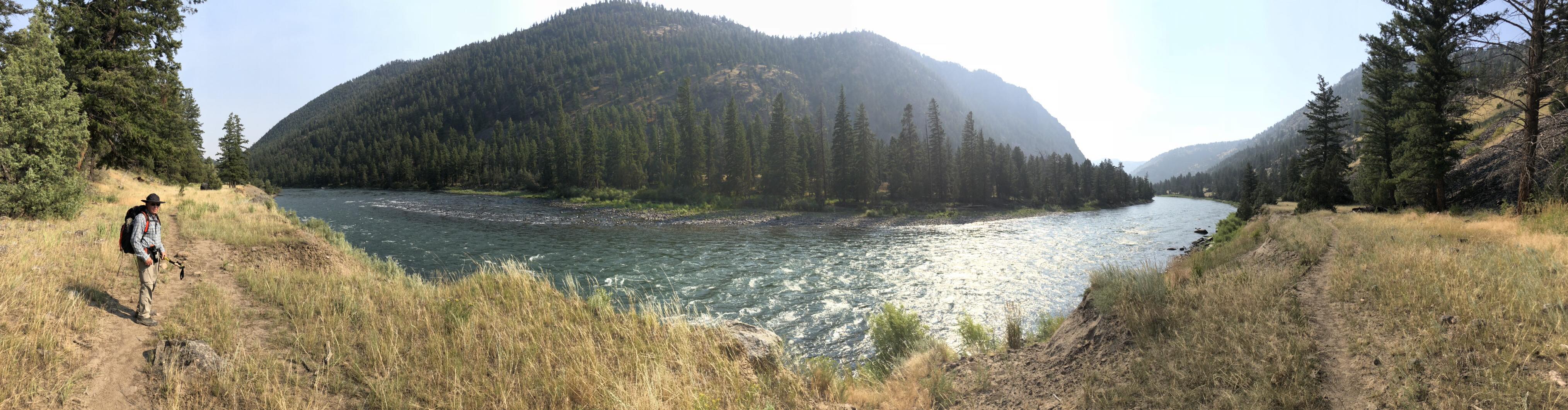
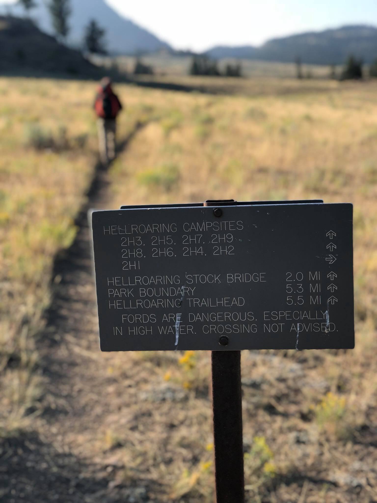
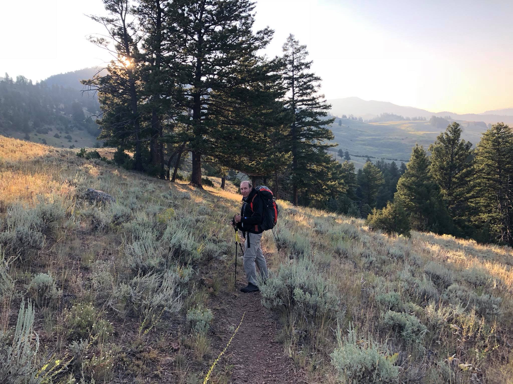
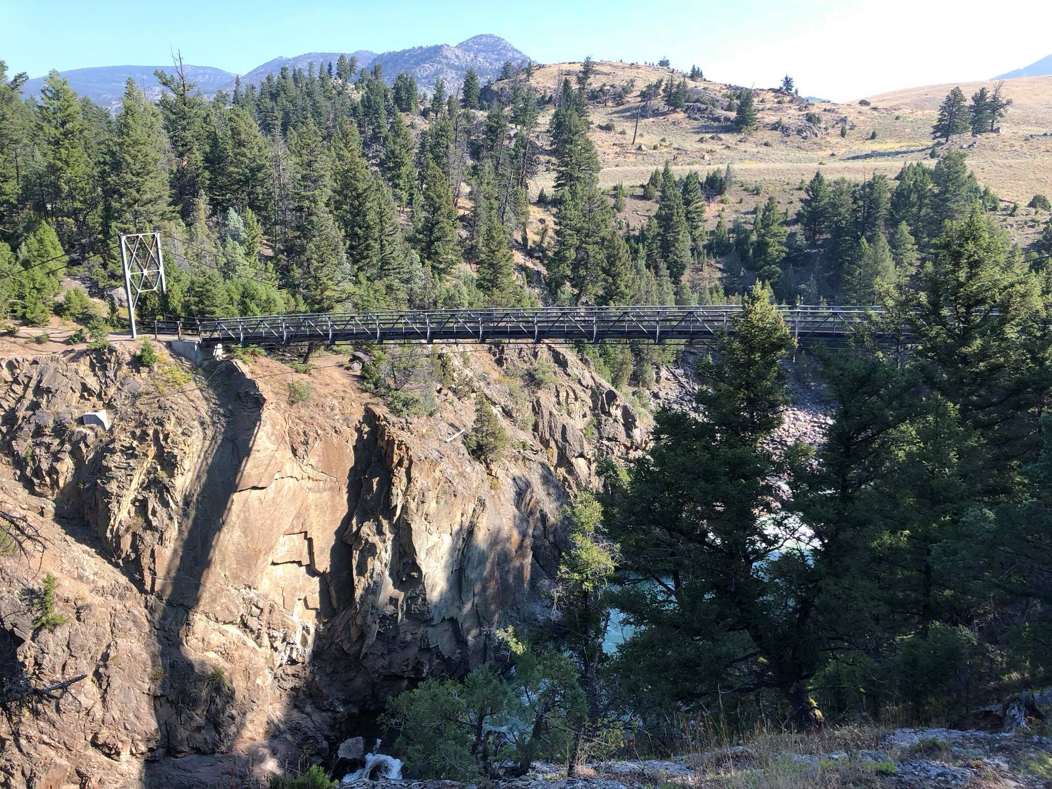
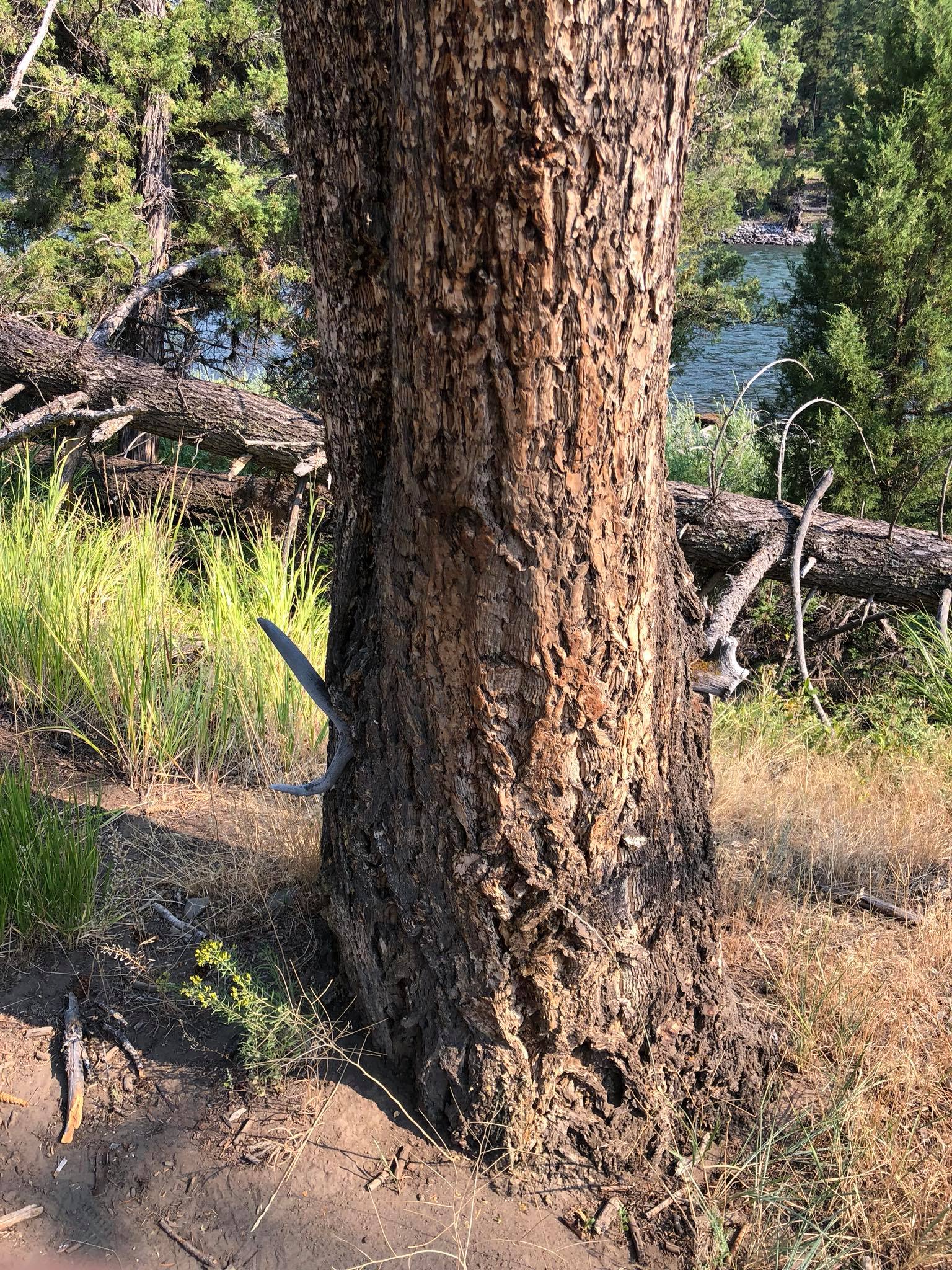
My dad and I backpacked the Black Canyon of the Yellowstone River, starting from Blacktail Deer Creek Trailhead. We camped at a backcountry campsite along the Yellowstone River and ended at the Hellroaring Trailhead.


 Refine Search


