A 2.3 mile round-trip hike with 300 feet of elevation gain rewards you with and an 80-foot waterfall.
Park at Fighting Creek Gap on Little River Road.




A 2.3 mile round-trip hike with 300 feet of elevation gain rewards you with and an 80-foot waterfall.
Published
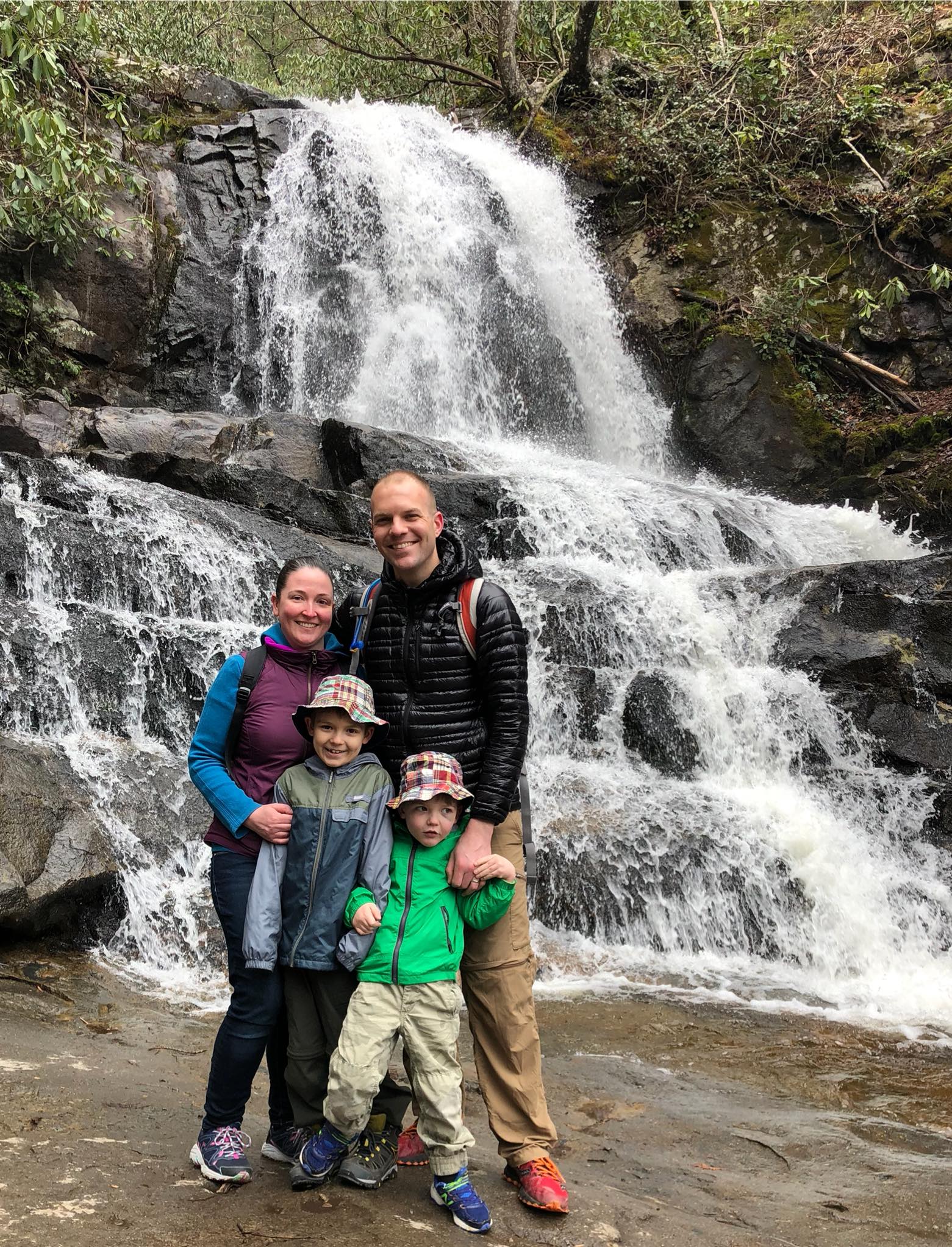
A 2.3 mile round-trip hike with 300 feet of elevation gain rewards you with and an 80-foot waterfall.
Park at Fighting Creek Gap on Little River Road.
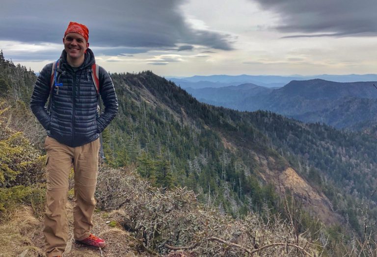
Great Smoky Mountains National Park · TN
11 mi 2,763 ft
~8 mi away
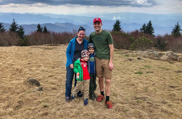
Great Smoky Mountains National Park · TN
3.5 mi 900 ft
~9 mi away
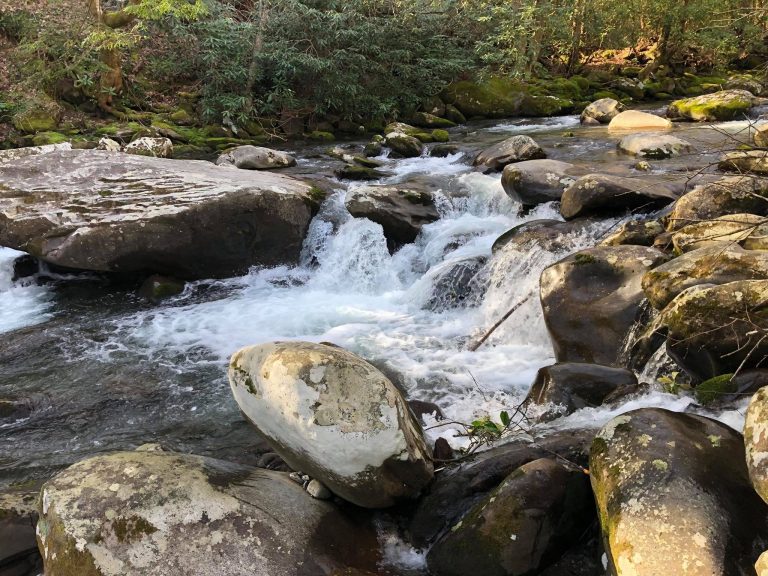
Great Smoky Mountains National Park · TN
4 mi 700 ft
~11 mi away