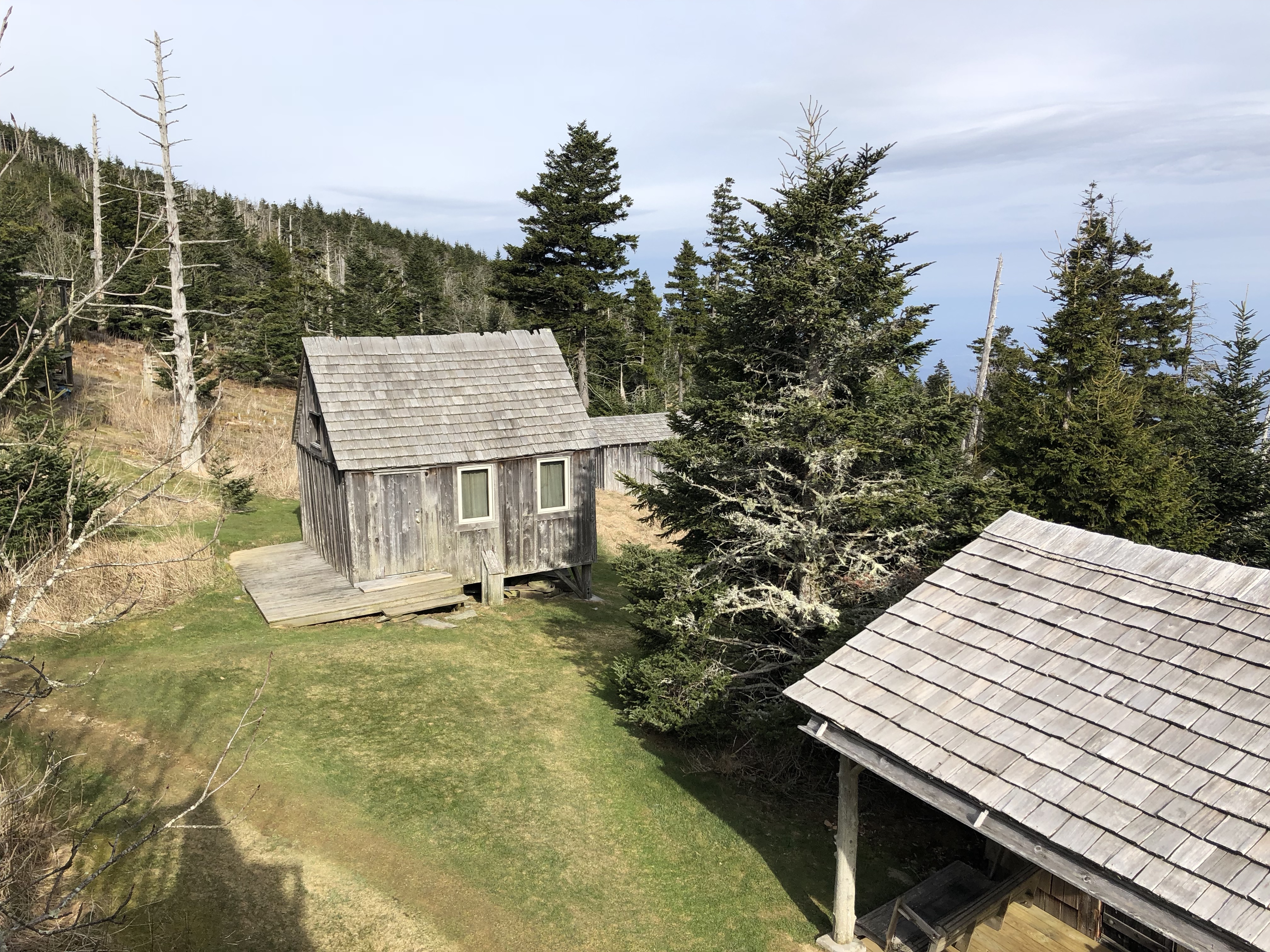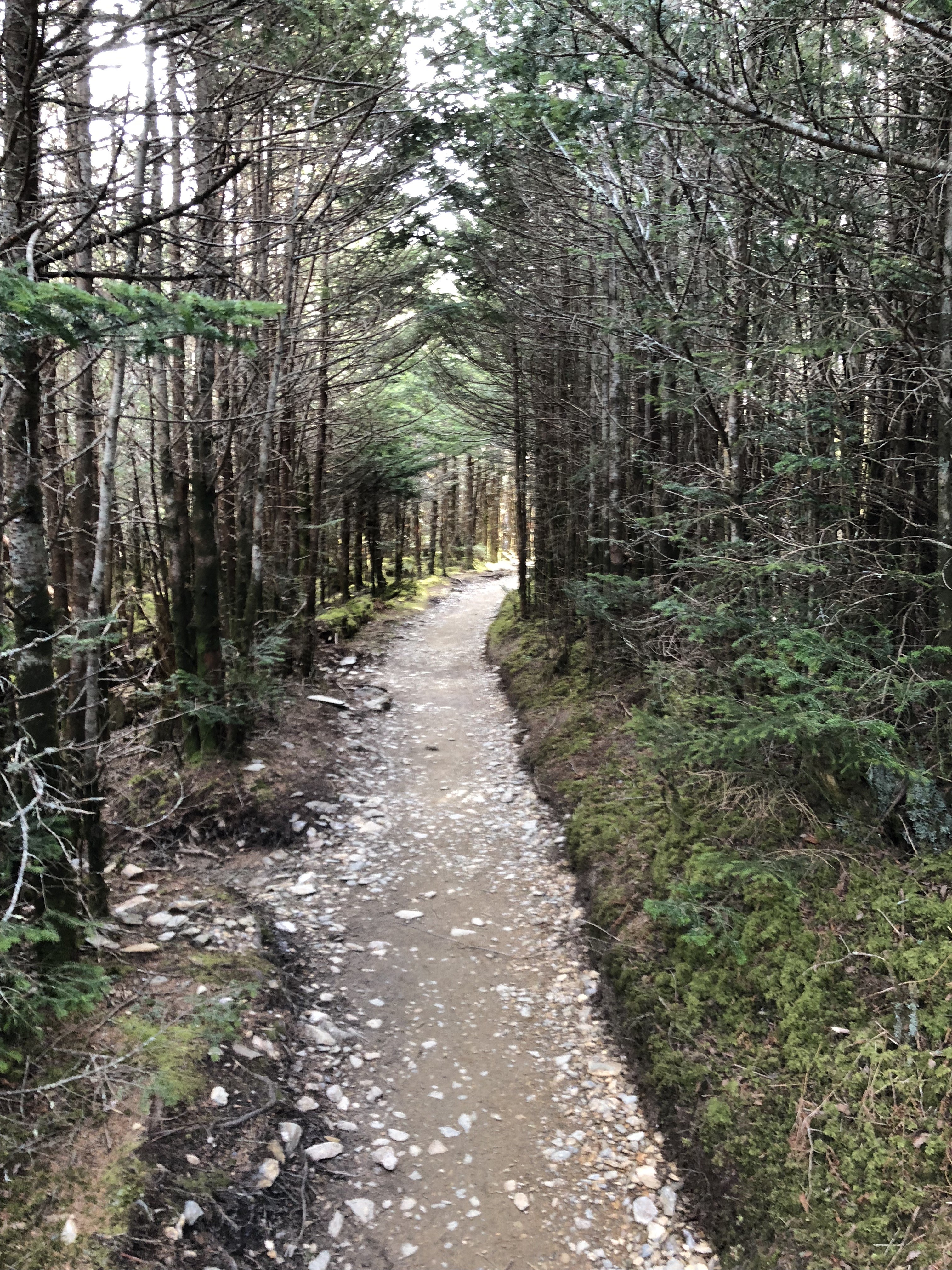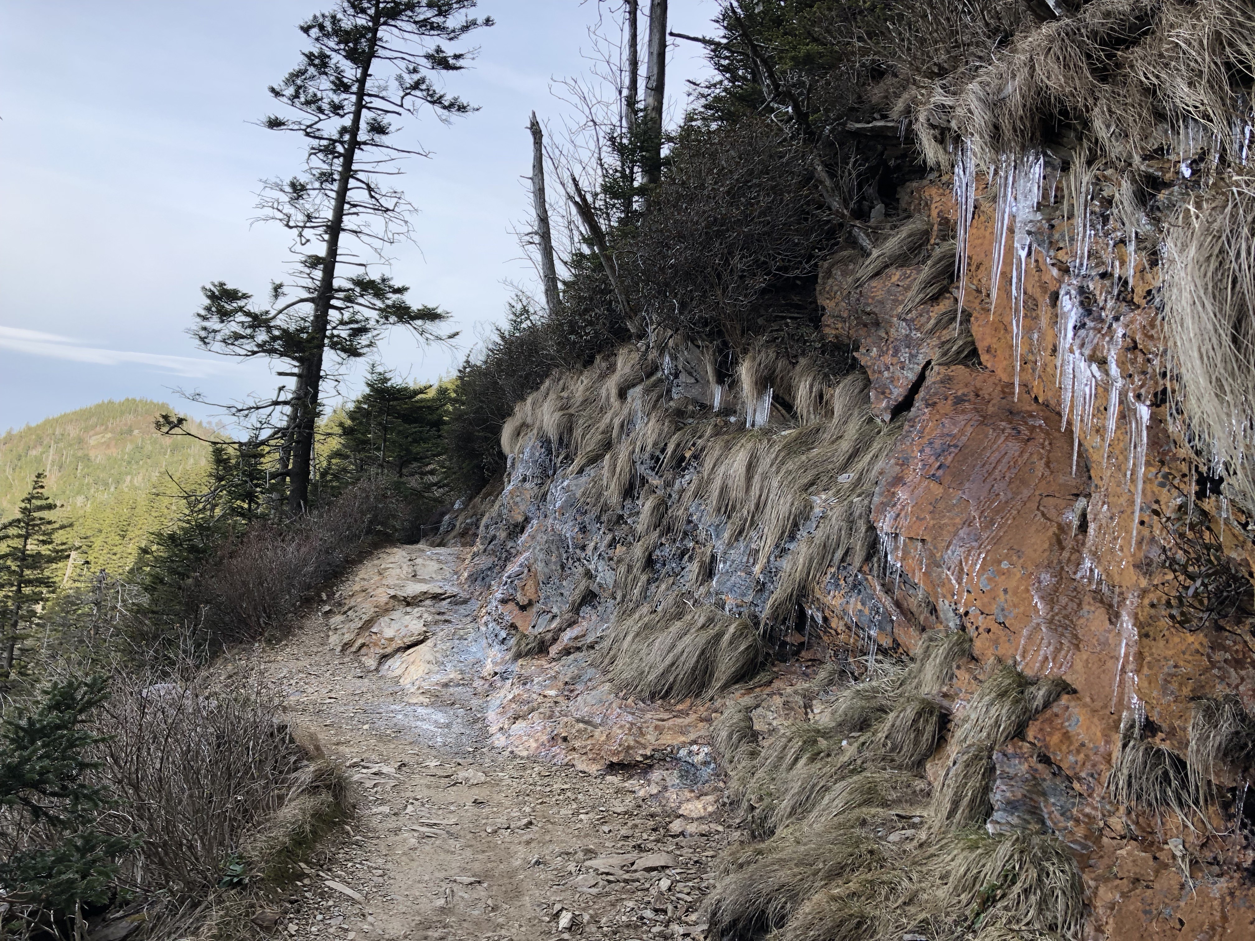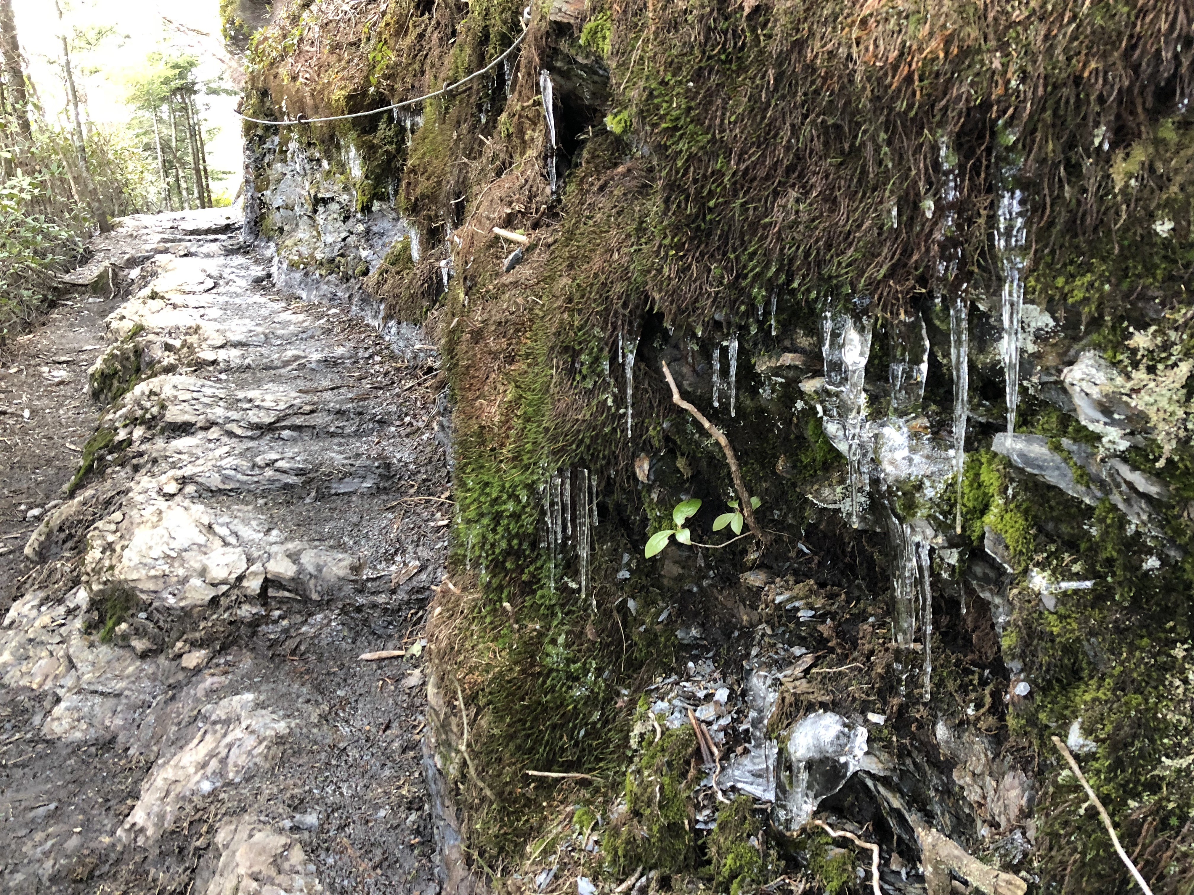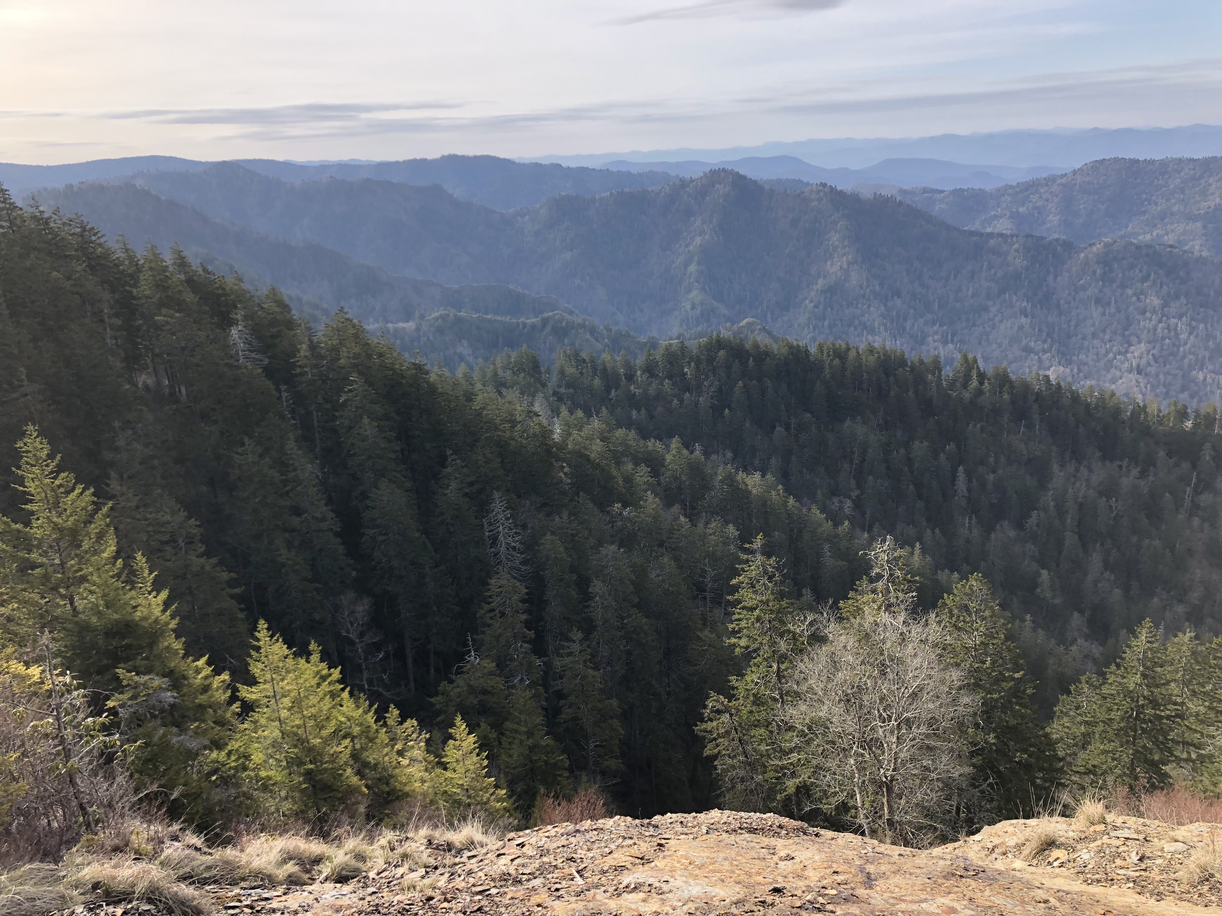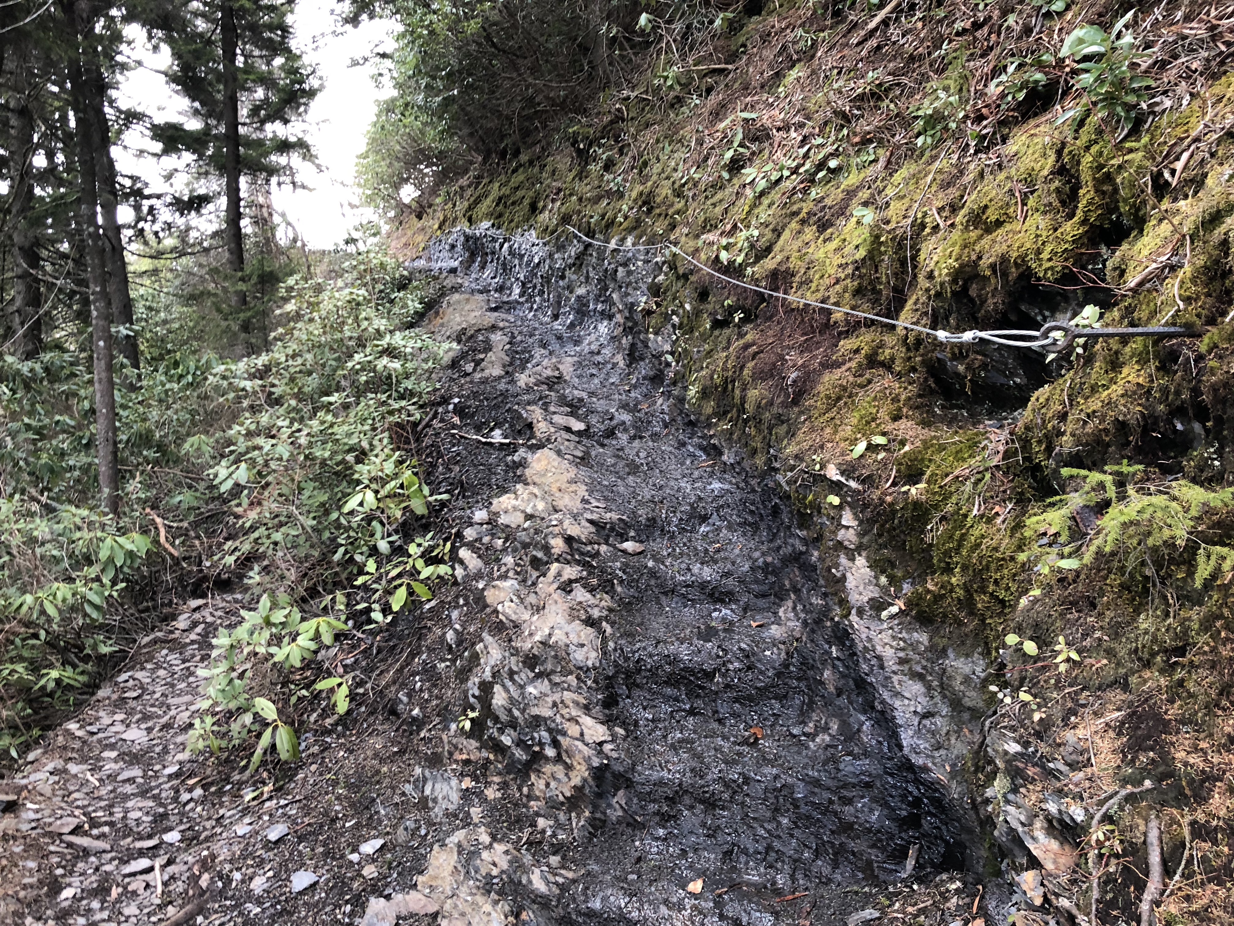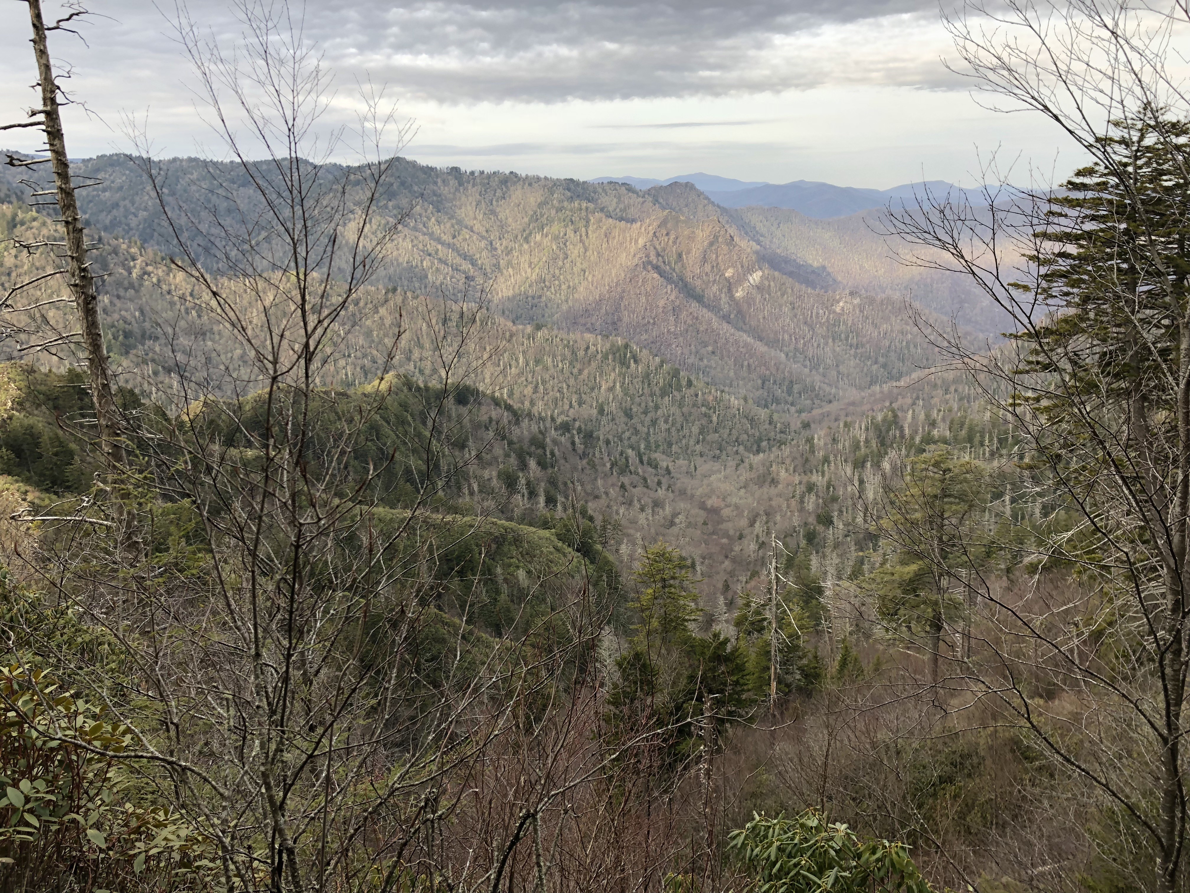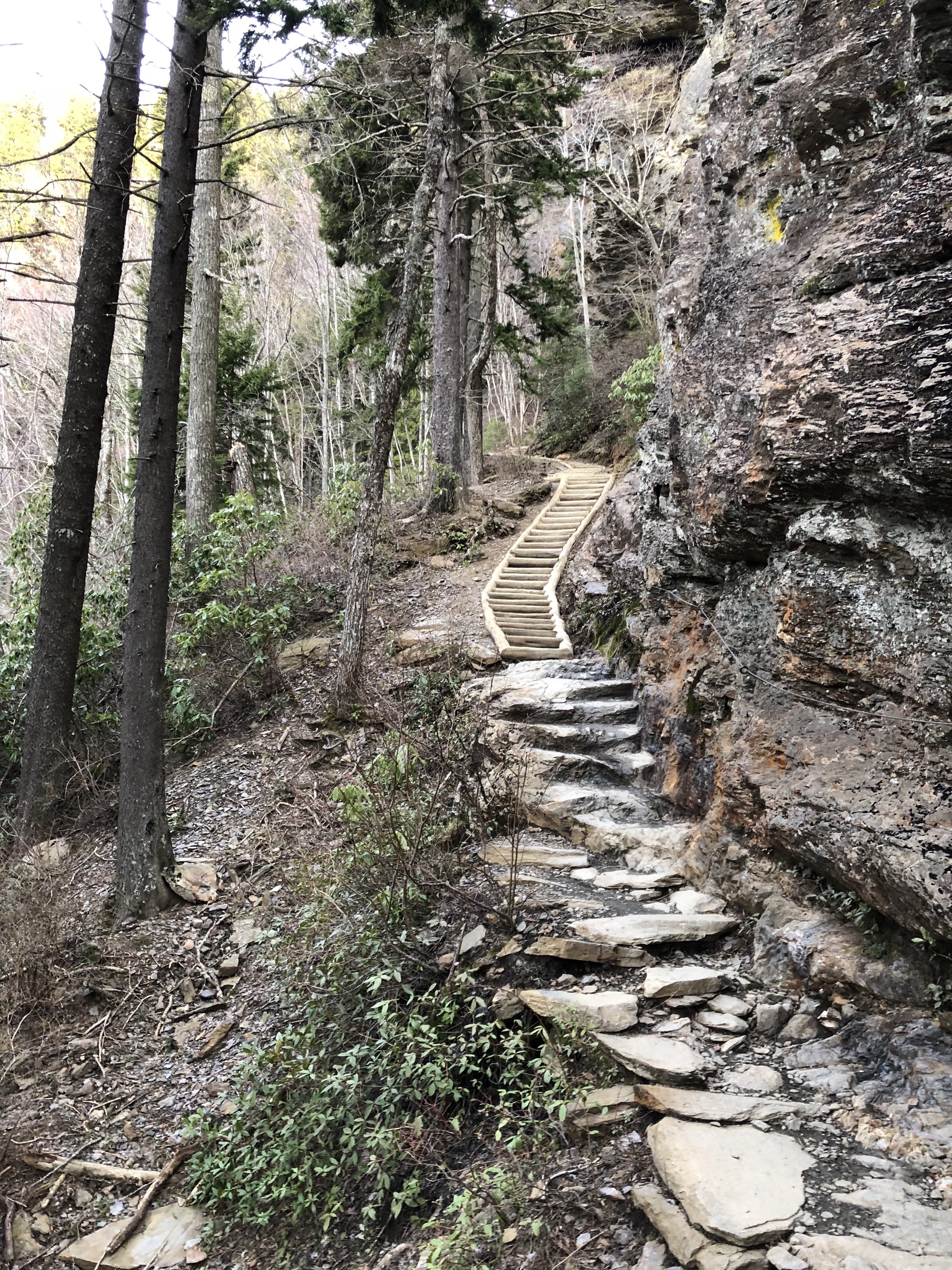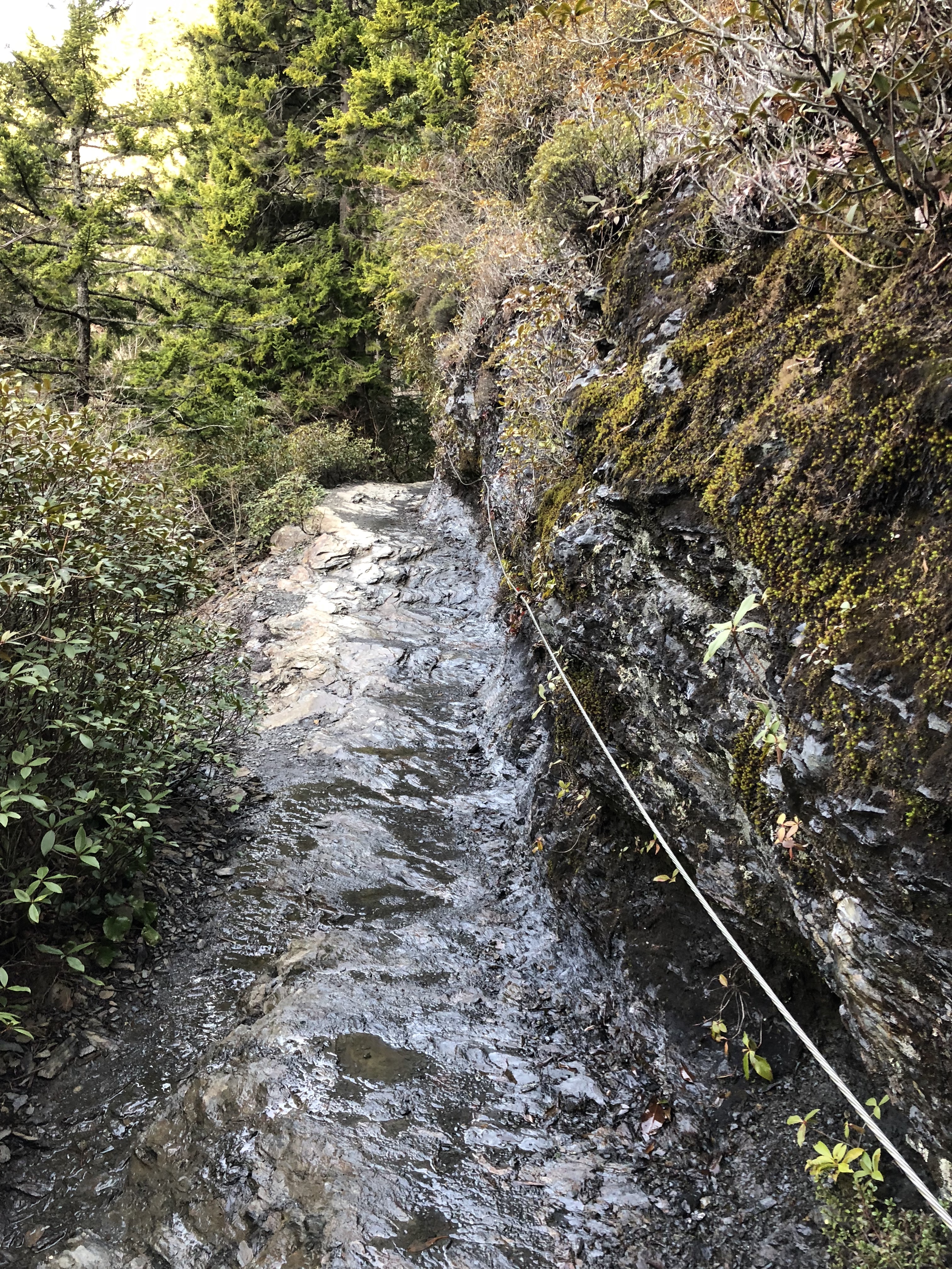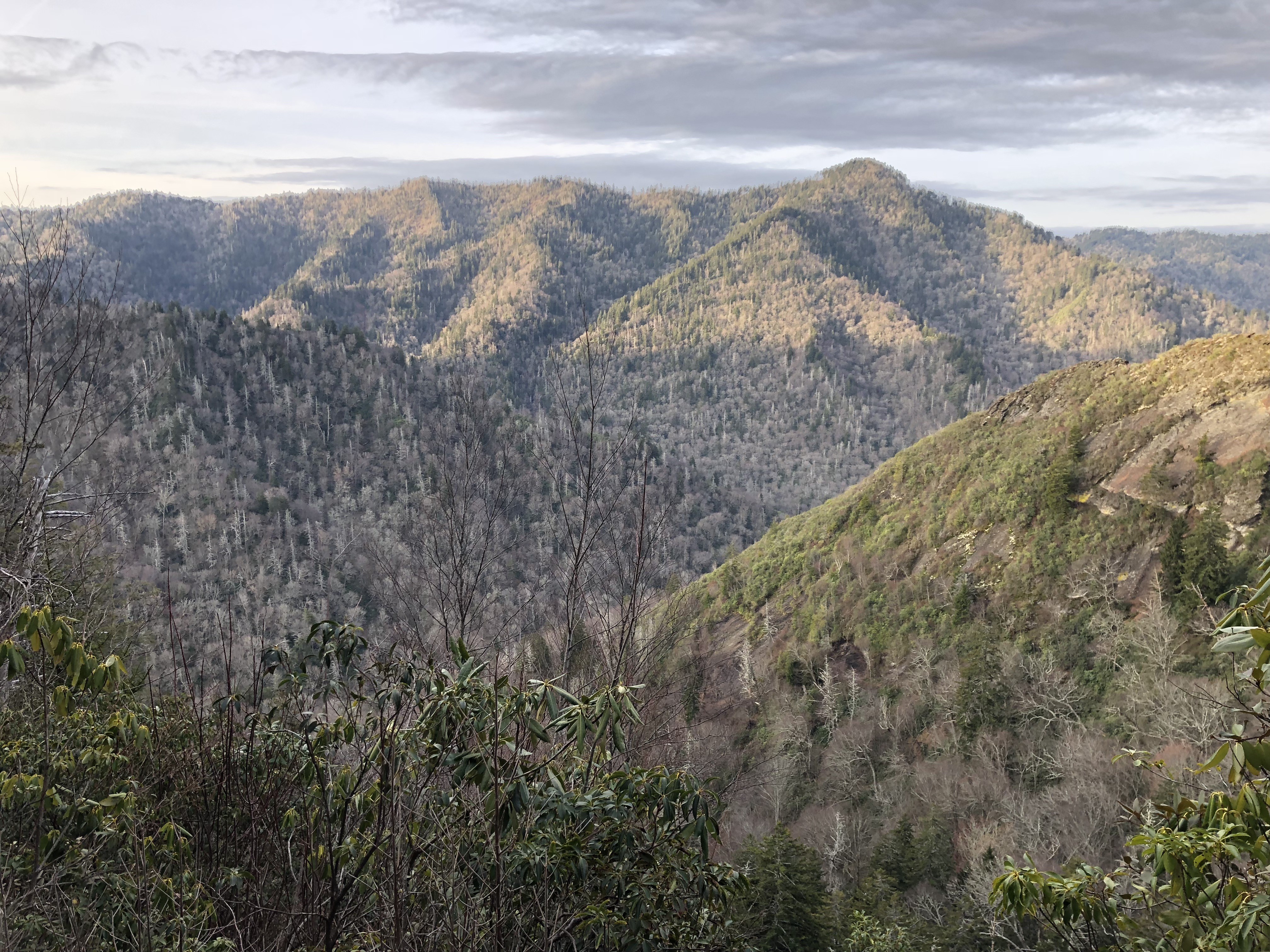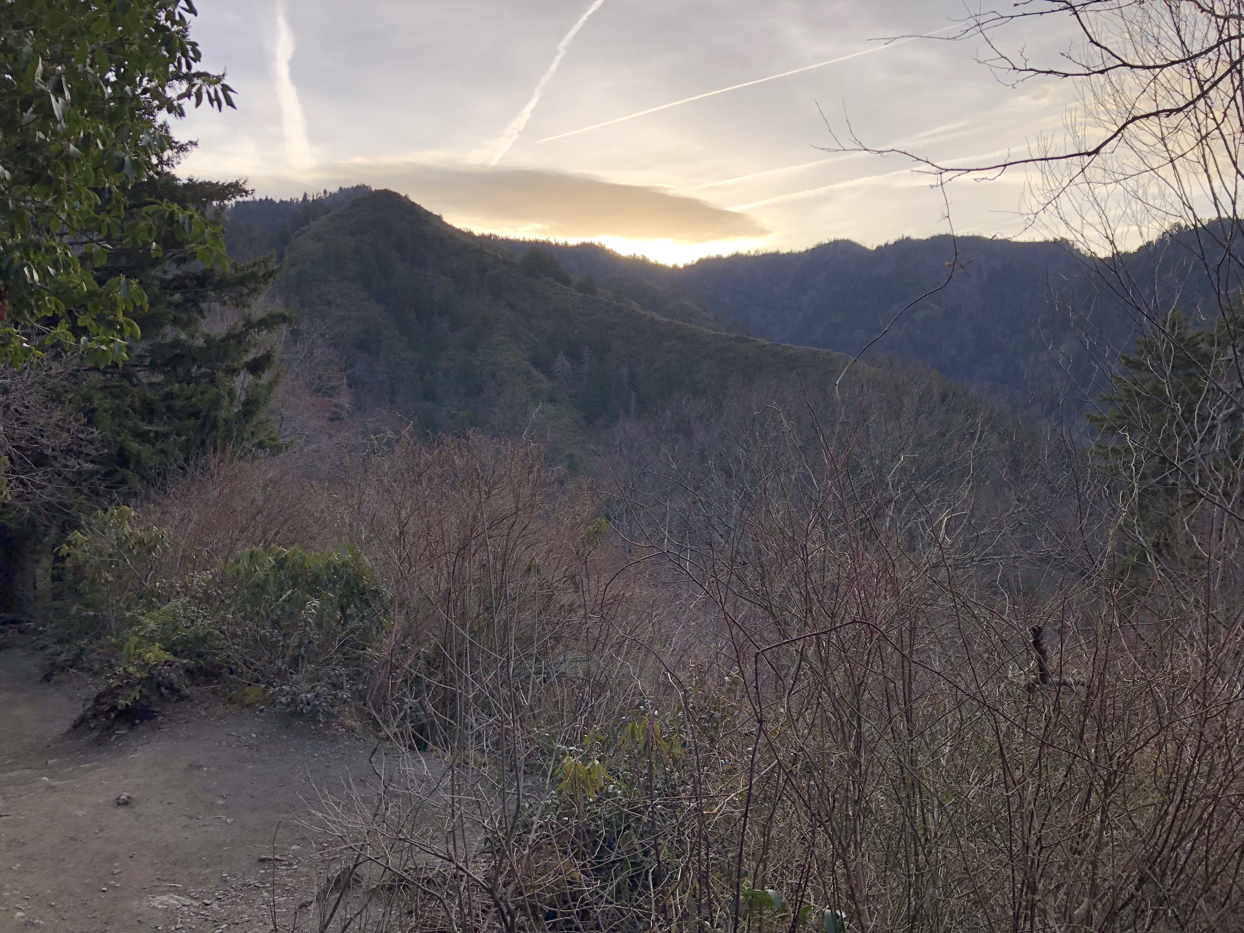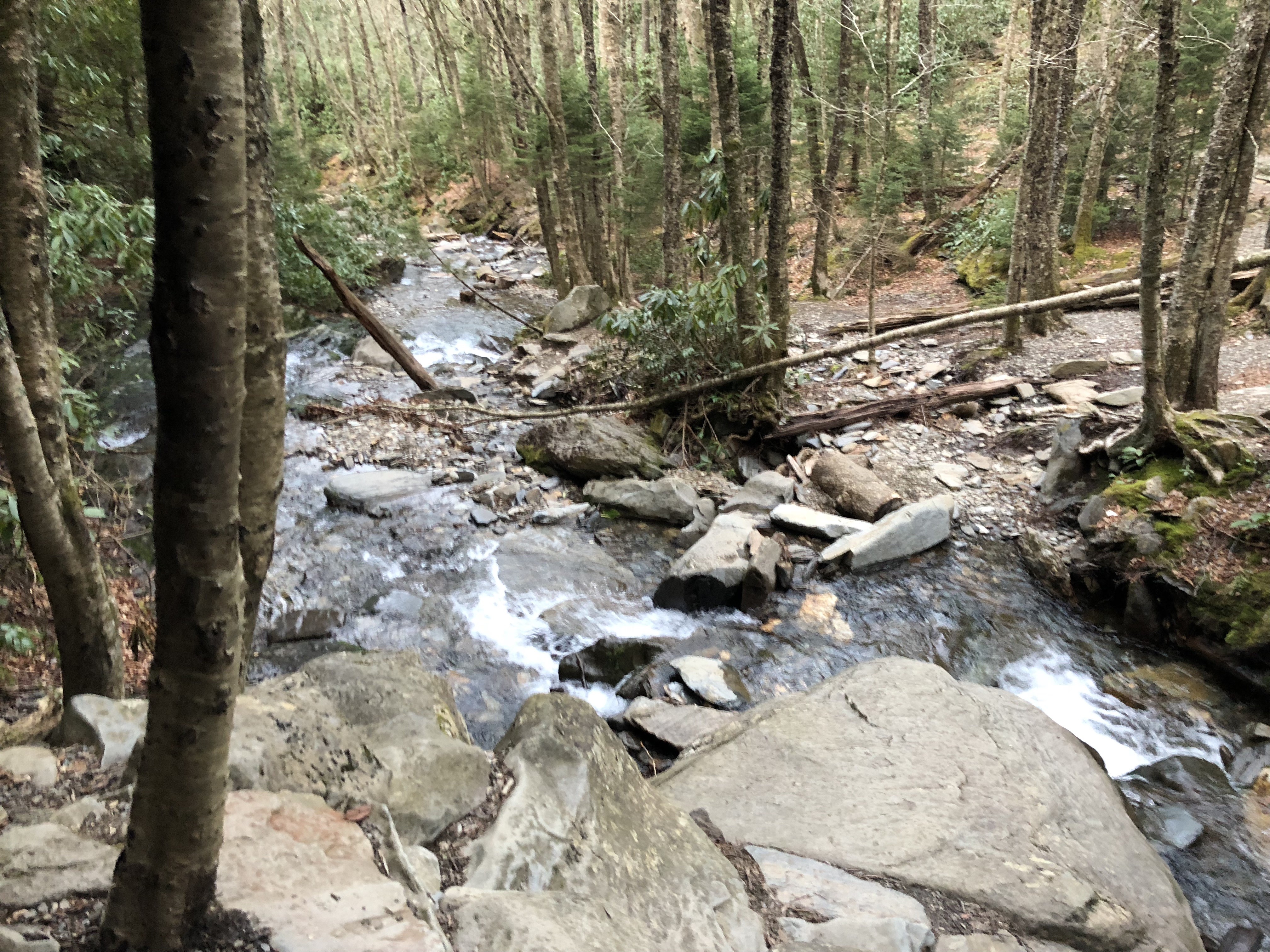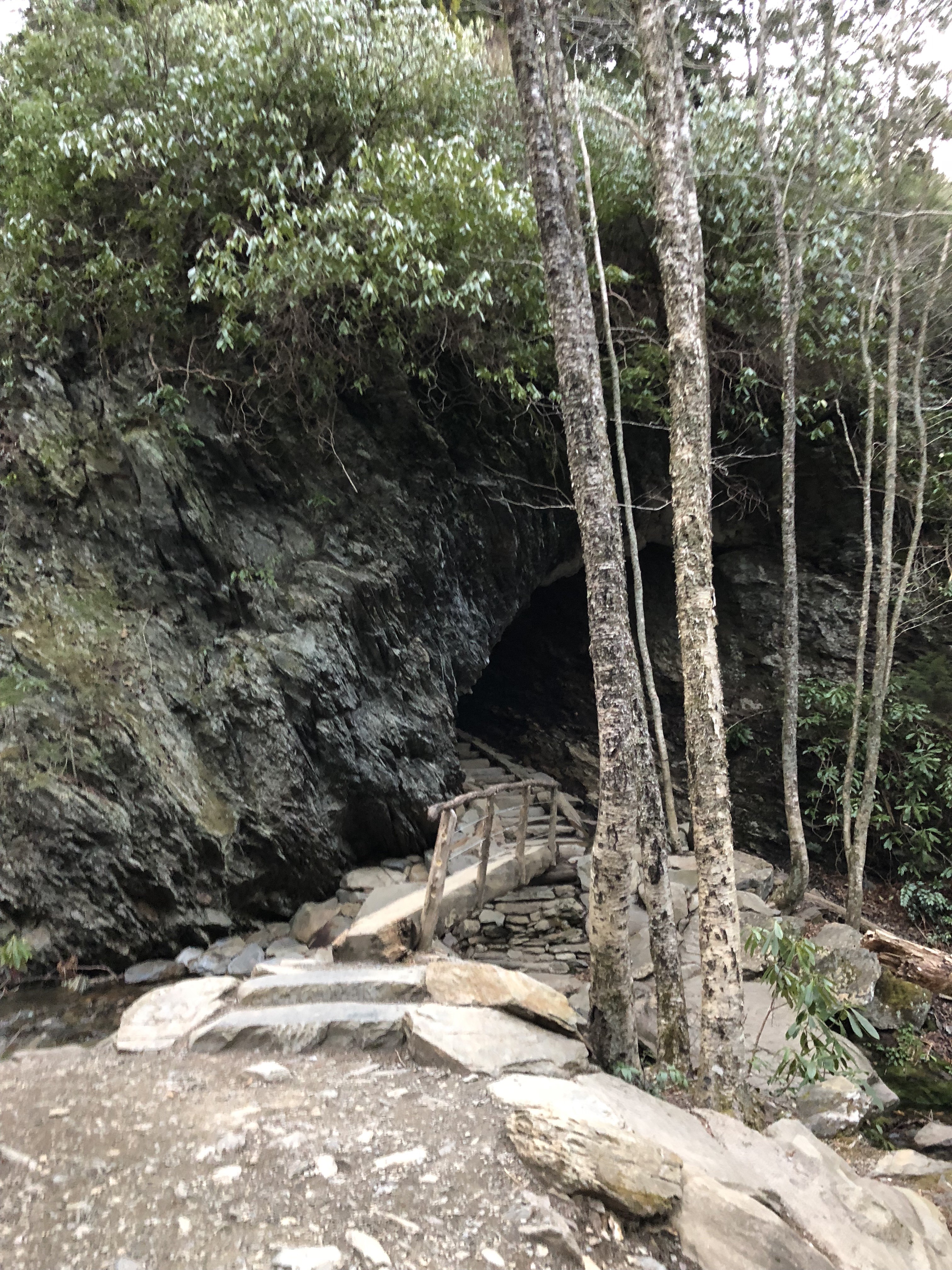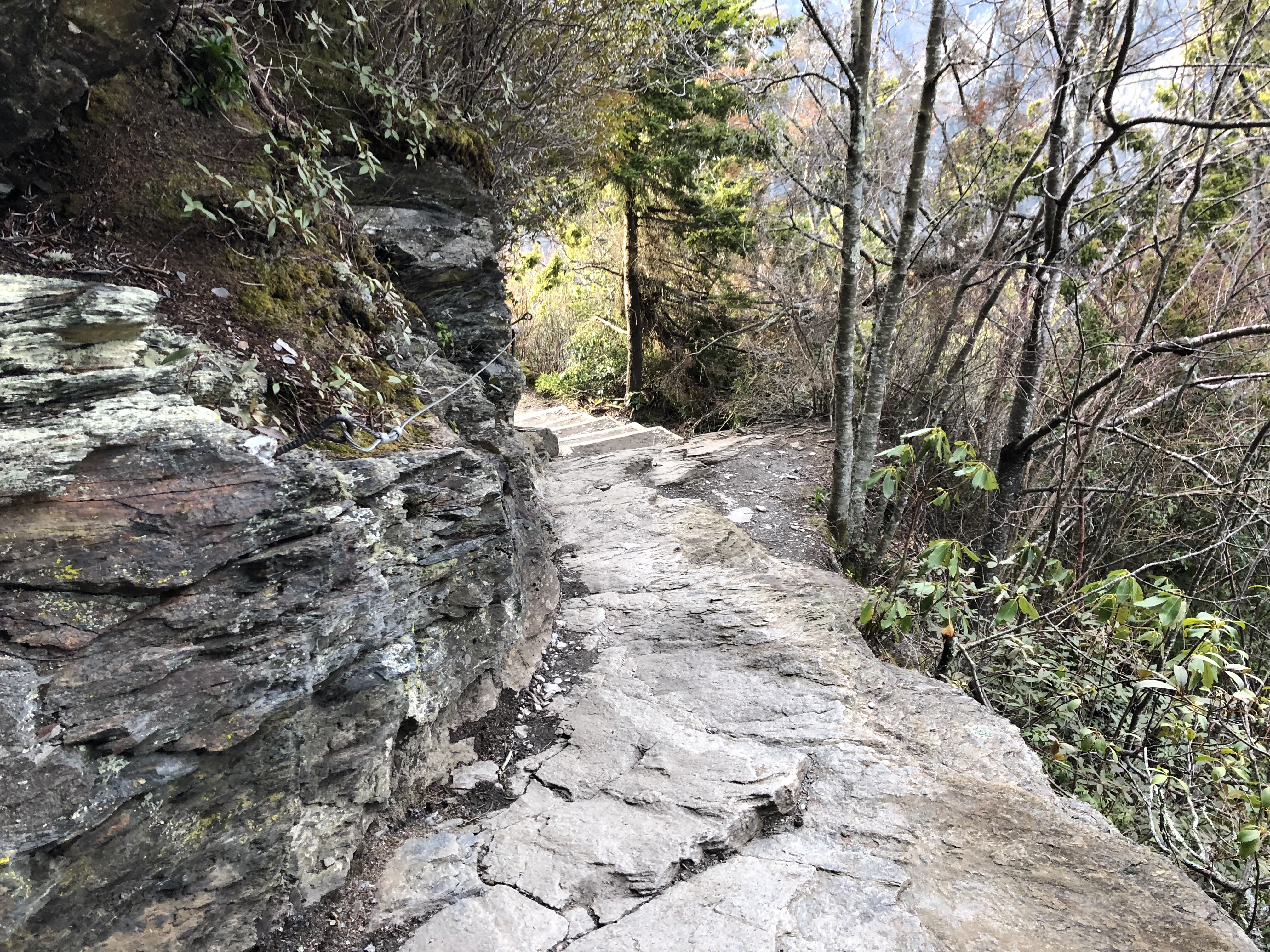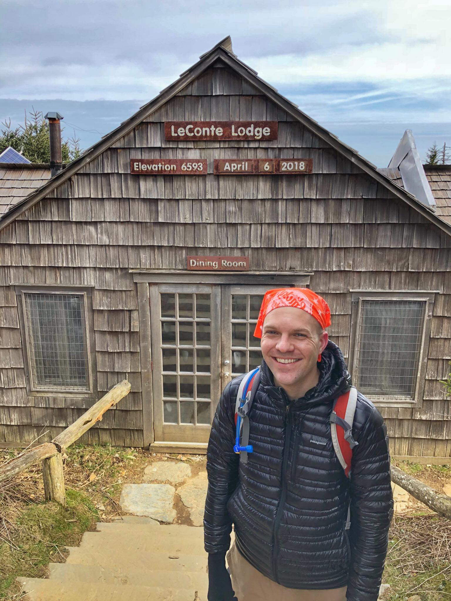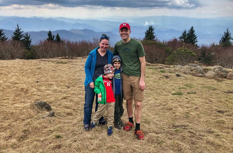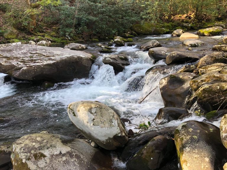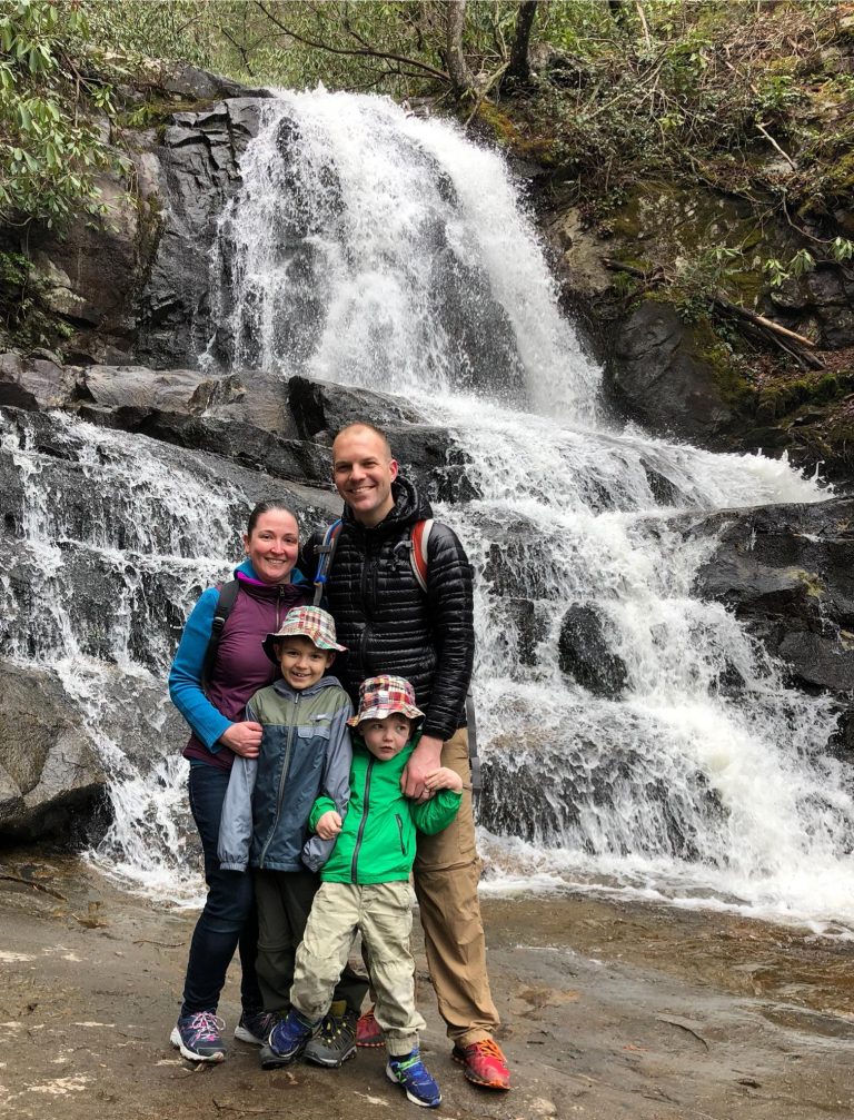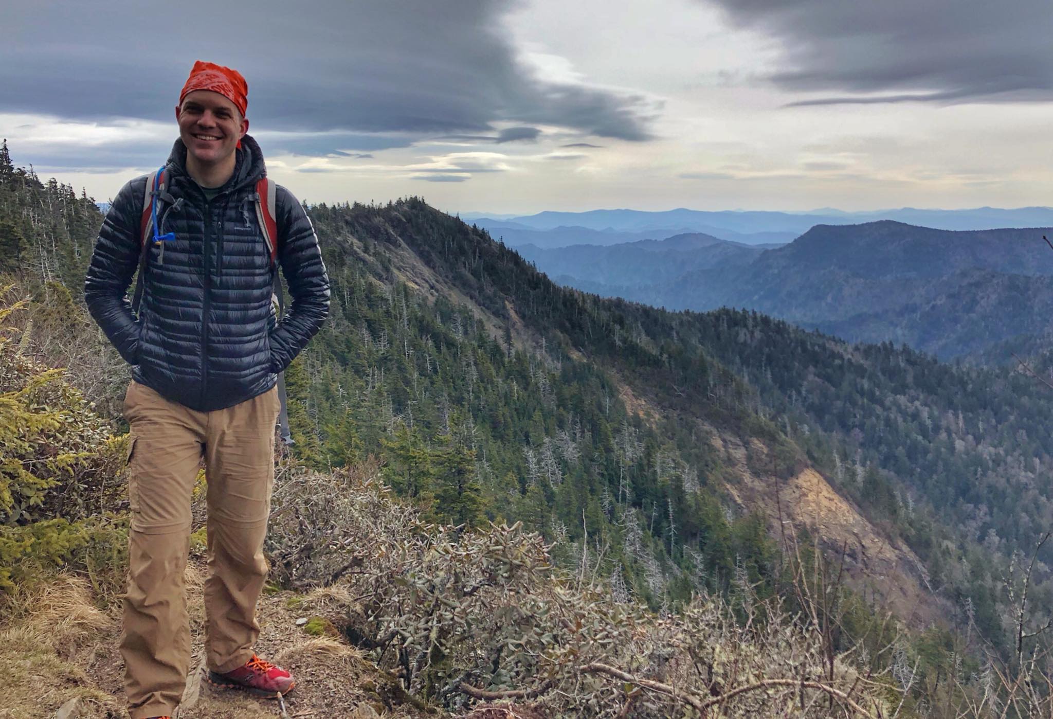
The 5.5 mile hike to the top of Mt. LeConte at 6,593 feet via the Alum Cove Trail is a classic Smokies hike. Enjoy coffee or hot chocolate at the Mt. LeConte Lodge at the summit, or better yet – reserve a cabin *well* in advance and stay overnight without needing to carry a tent or sleeping bag.
Start at the Alum Cave parking area on Newfound Gap Road, 8.5 miles south of Park Headquarters and Sugarlands Visitor’s Center in Gatlinburg. Get there early because this trail is extremely popular.
Llamas follow the Trillium Gap Trail on Mondays, Wednesdays, and Fridays to resupply the lodge at the summit.