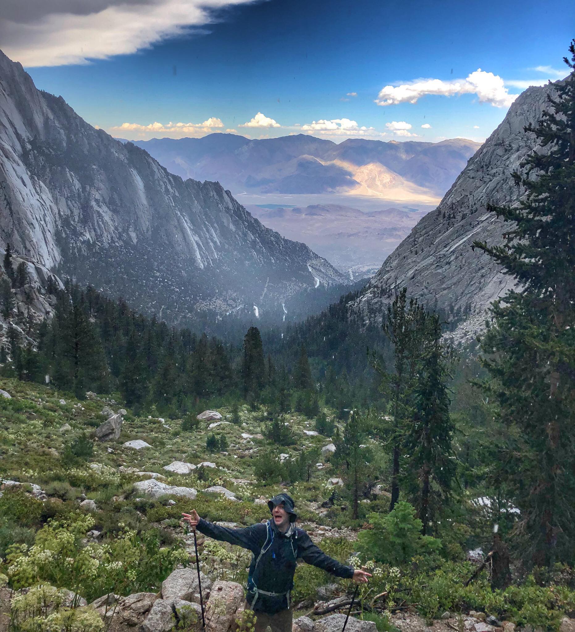
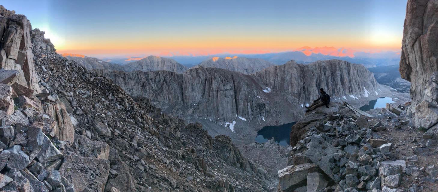
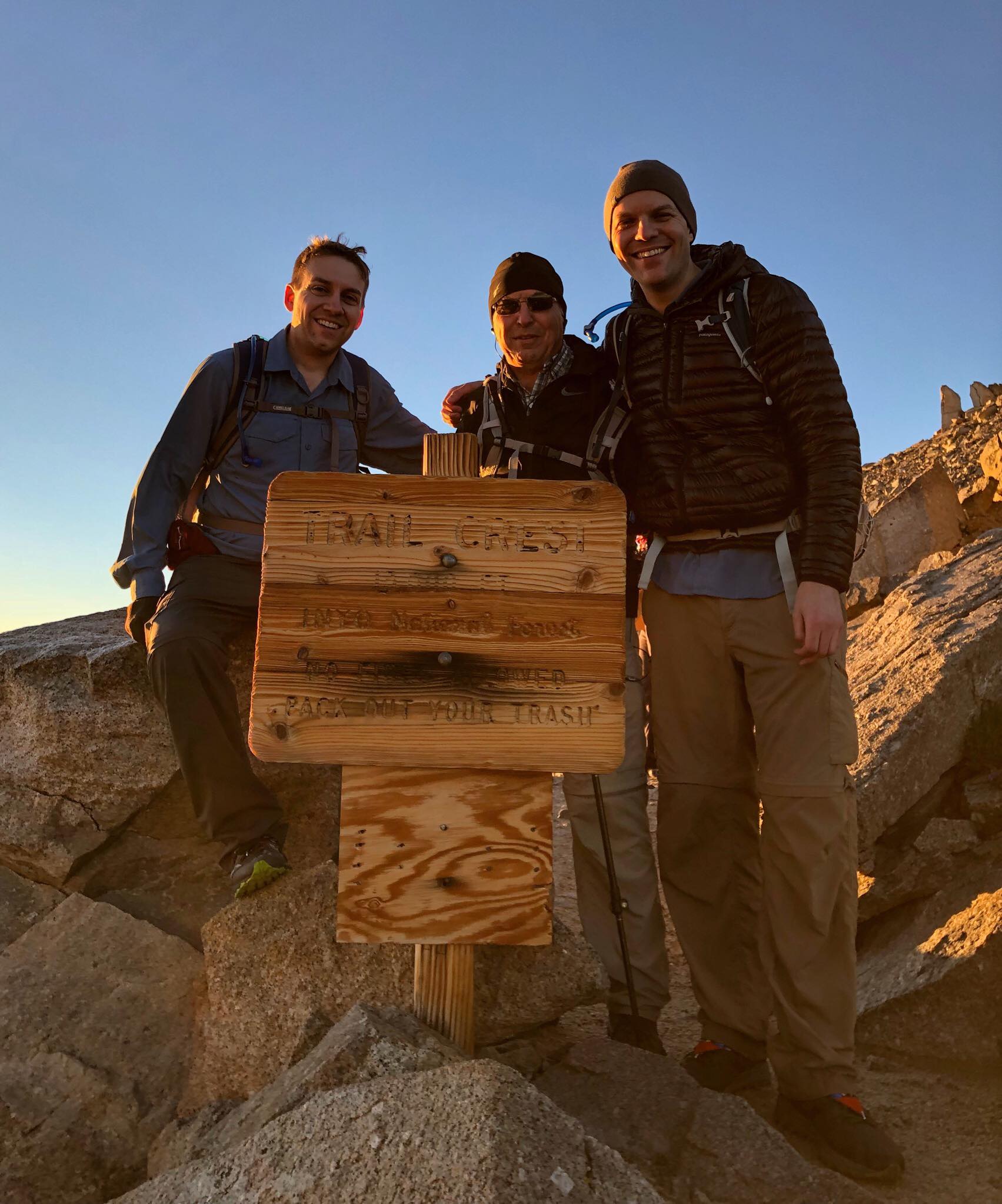
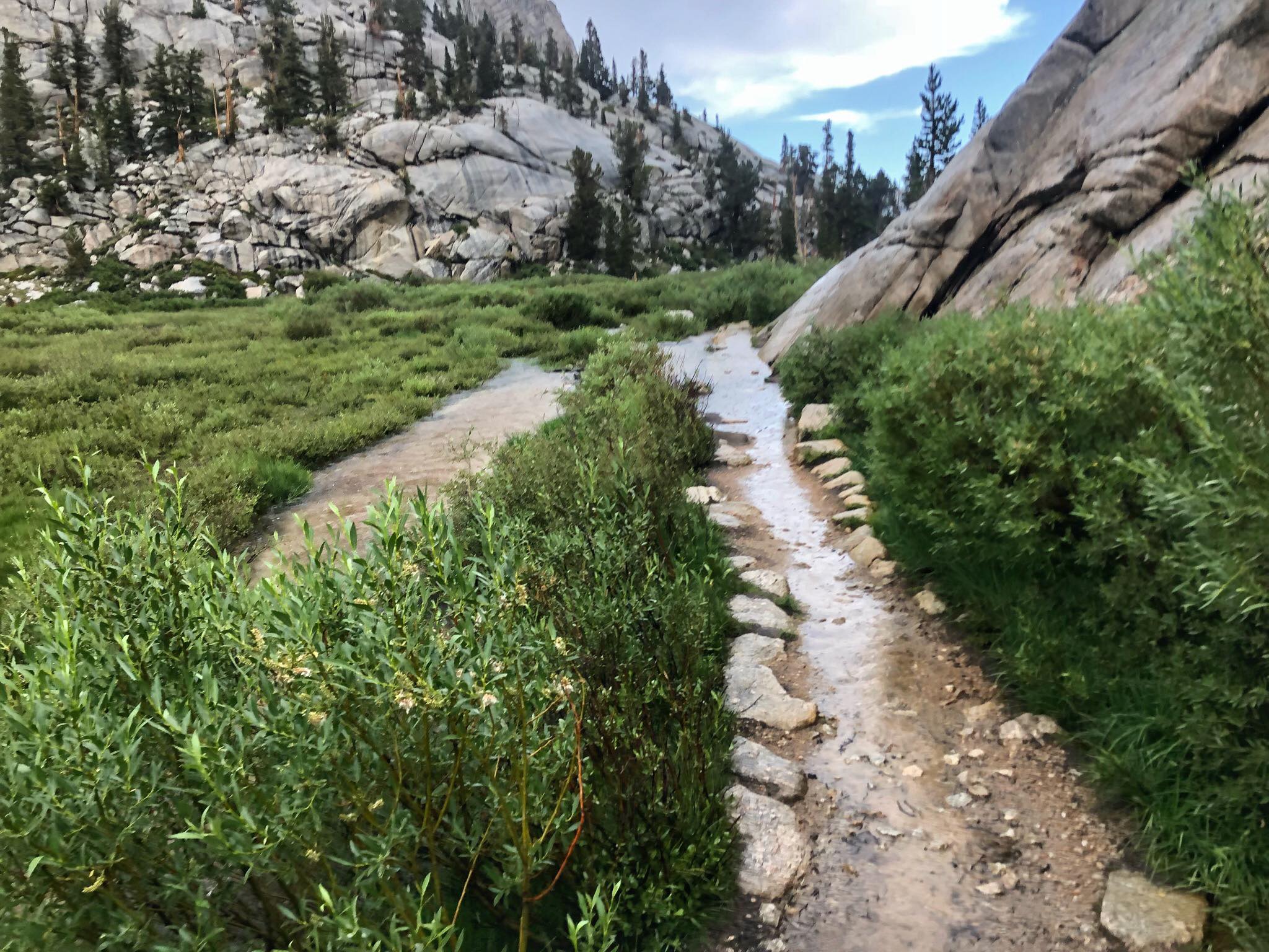
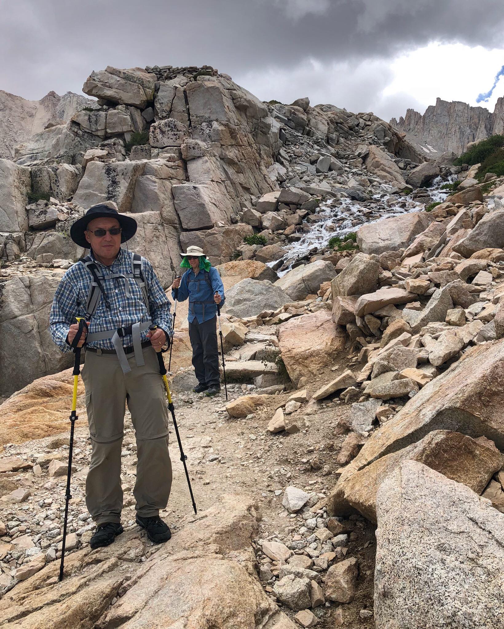
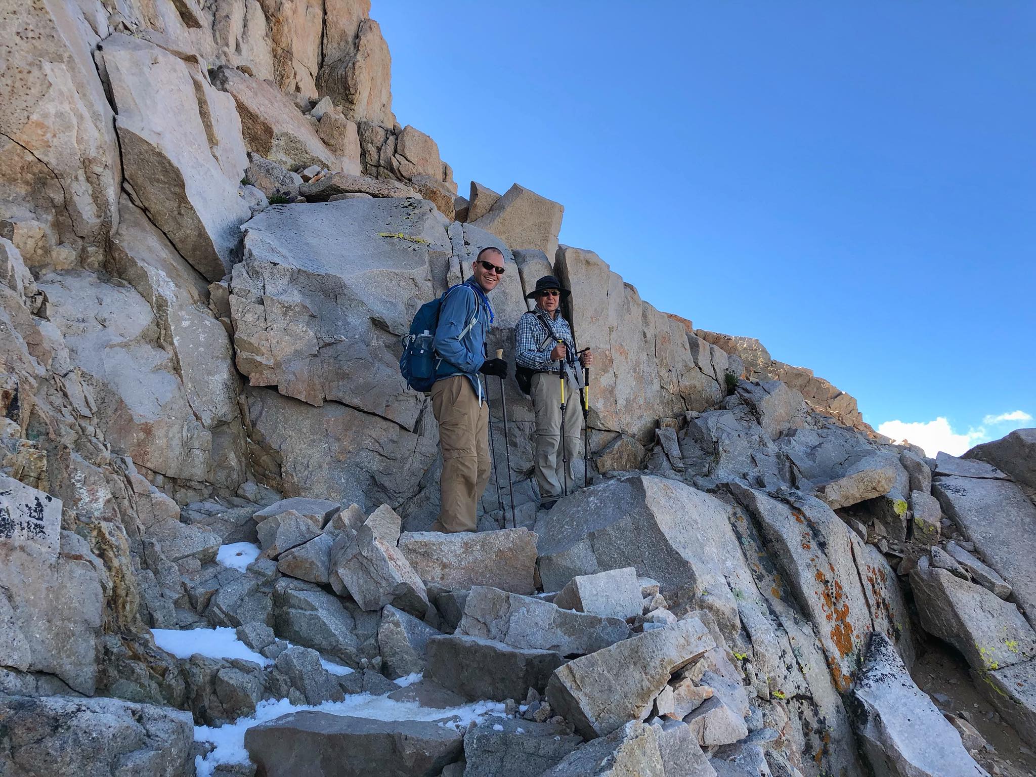
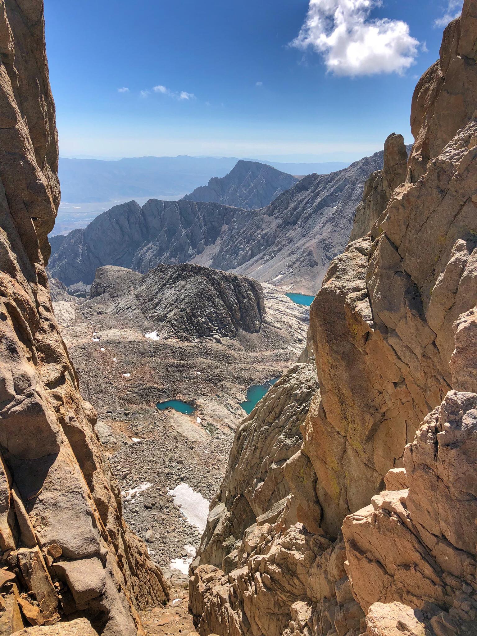
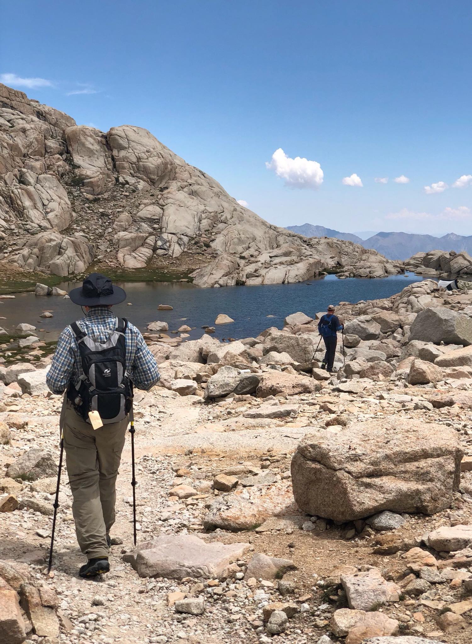
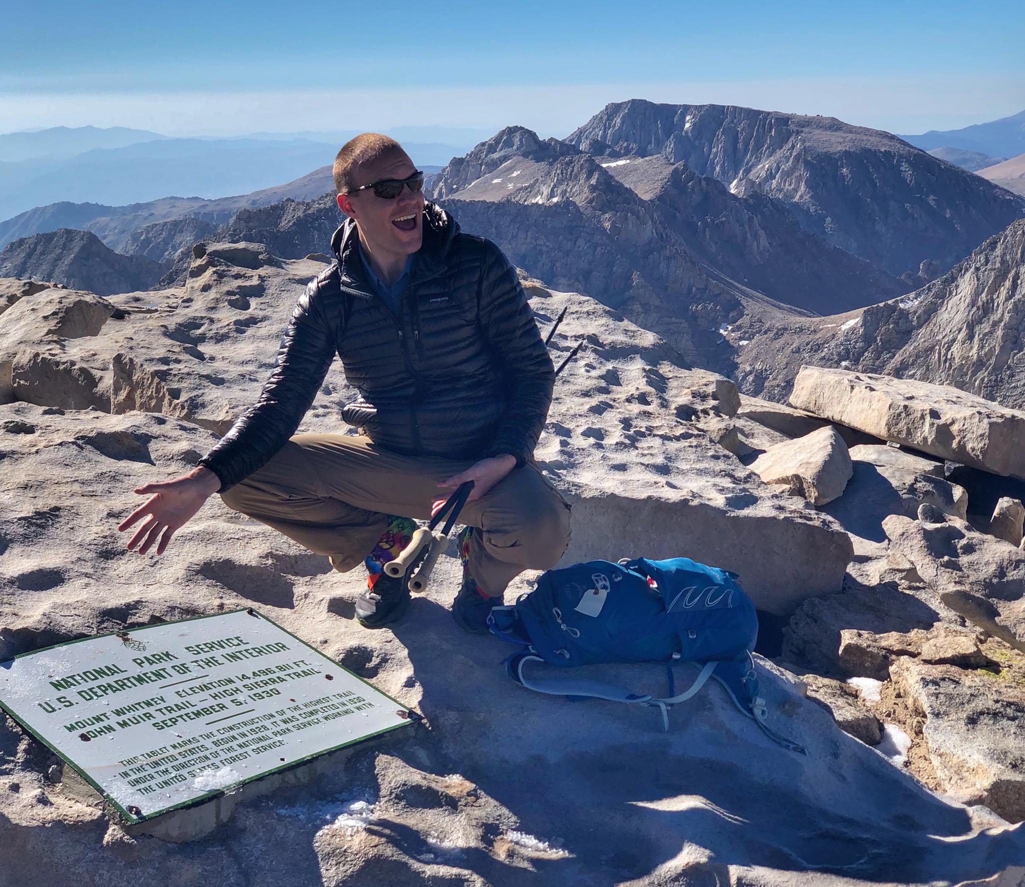
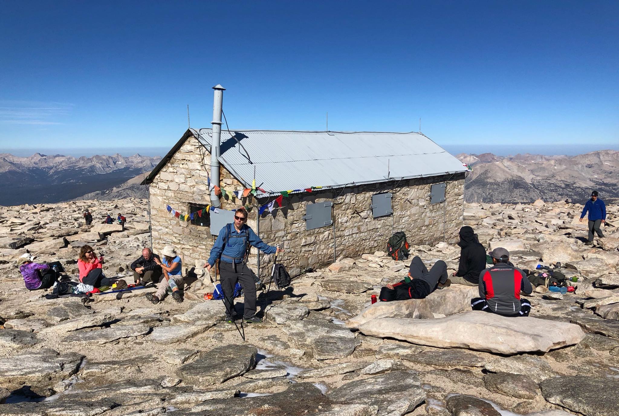
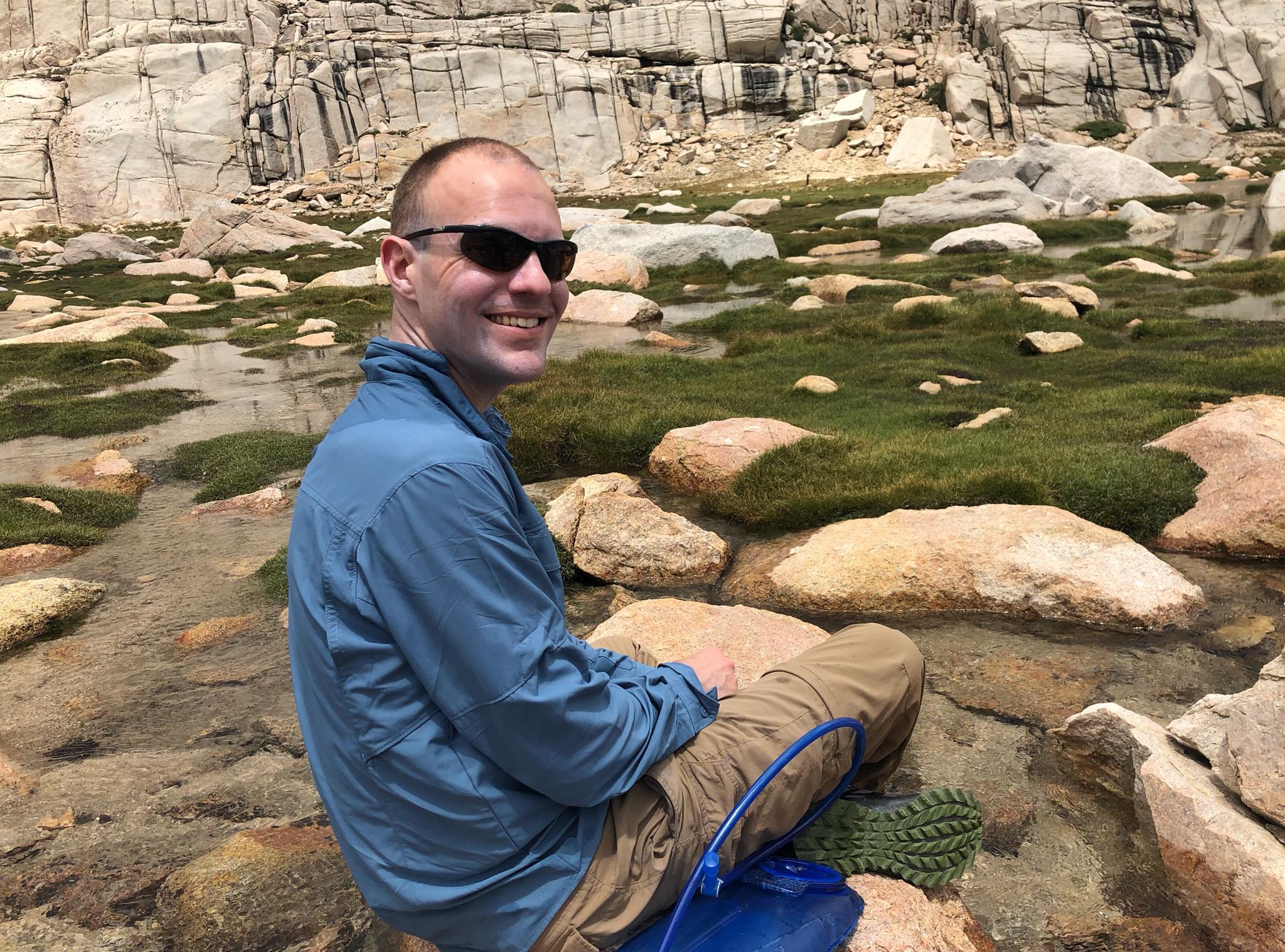
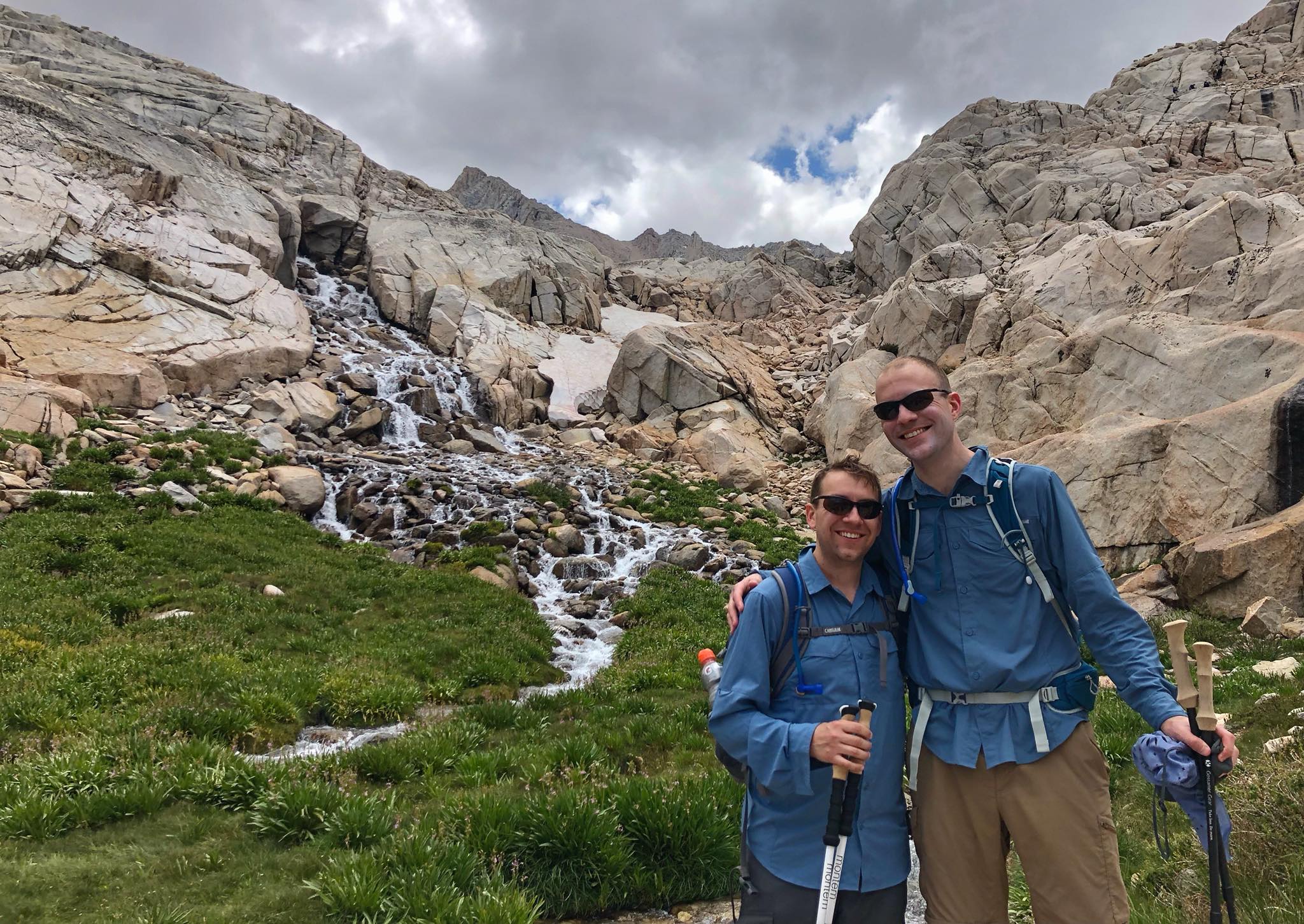
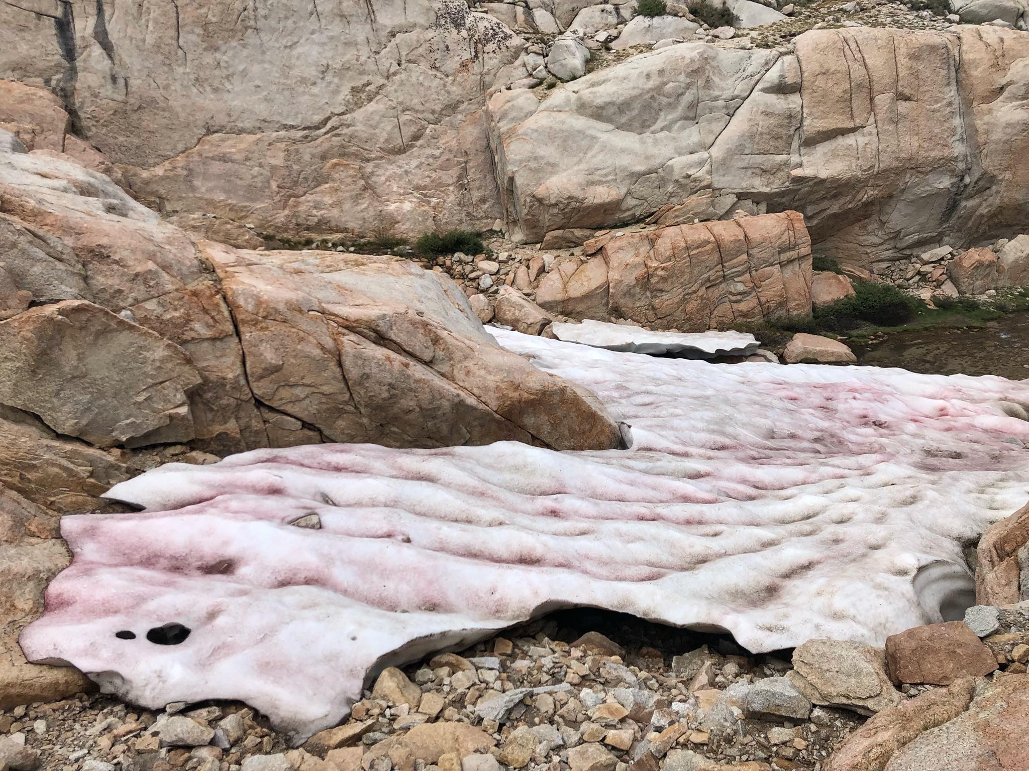
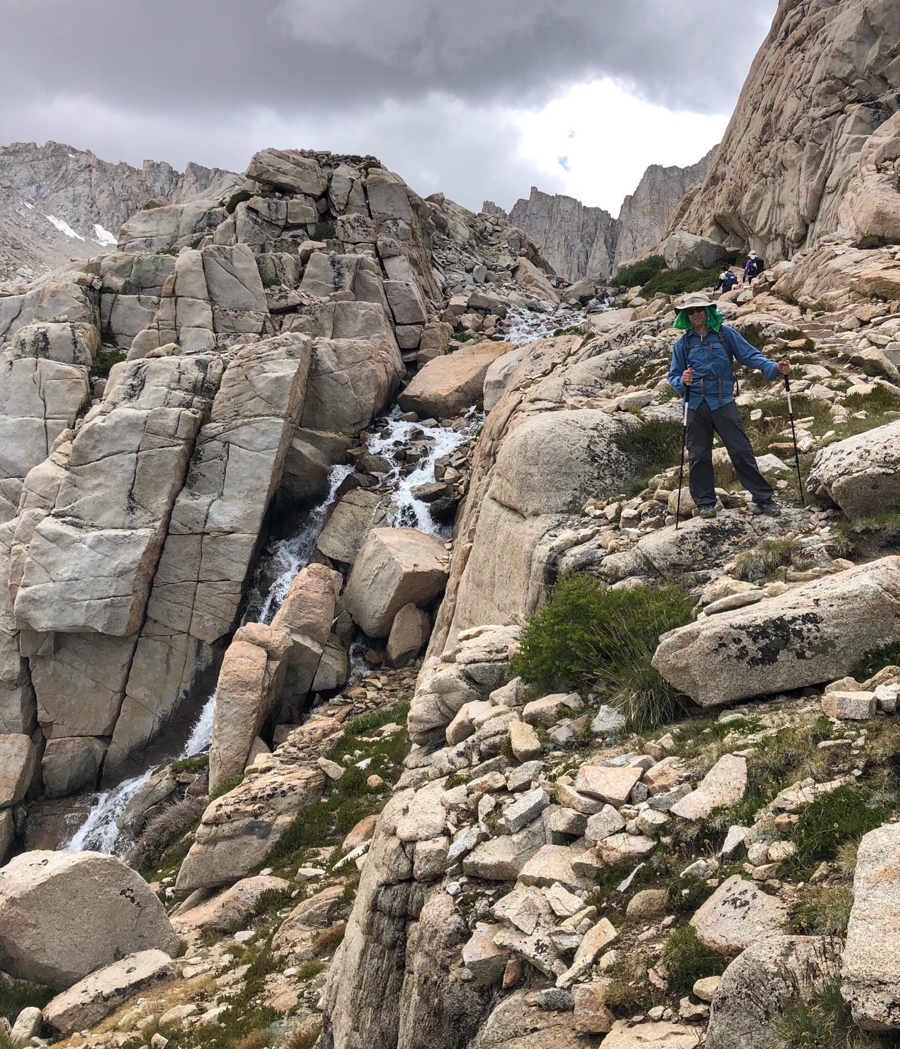
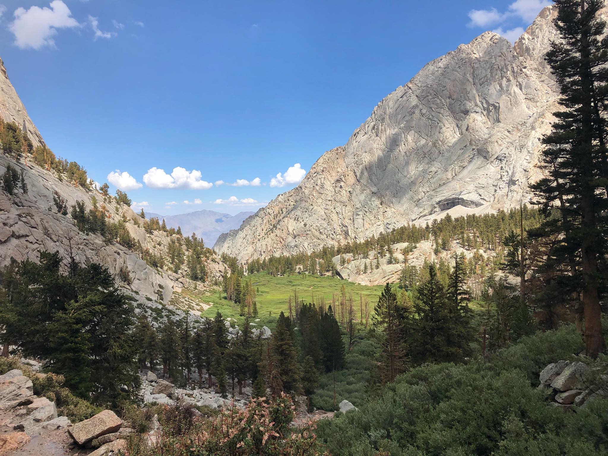
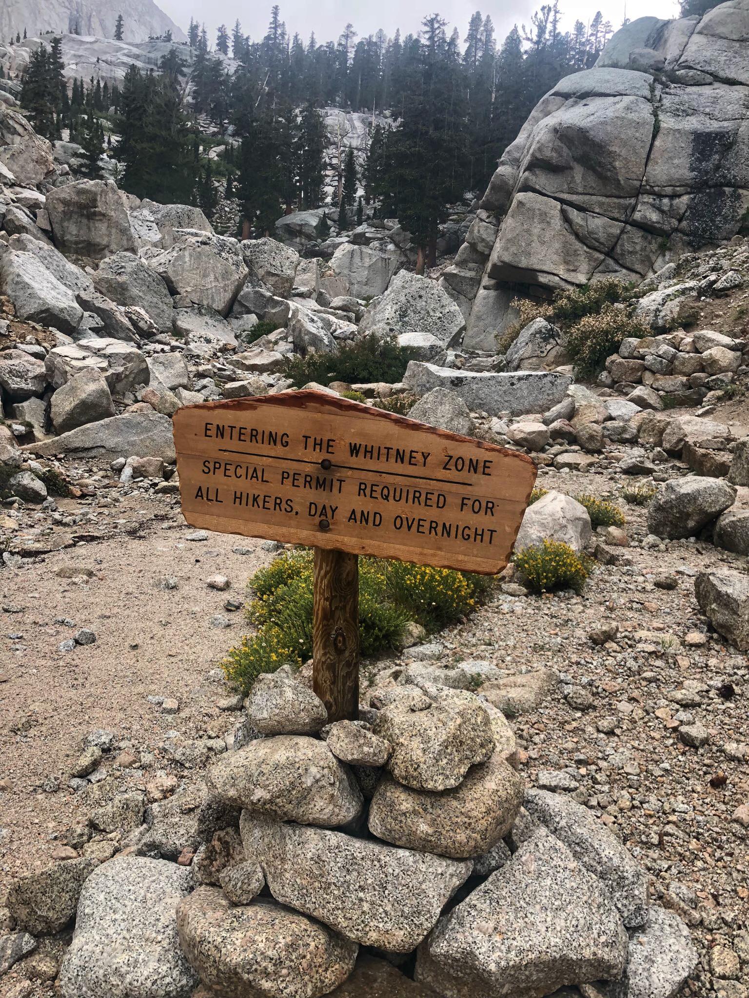
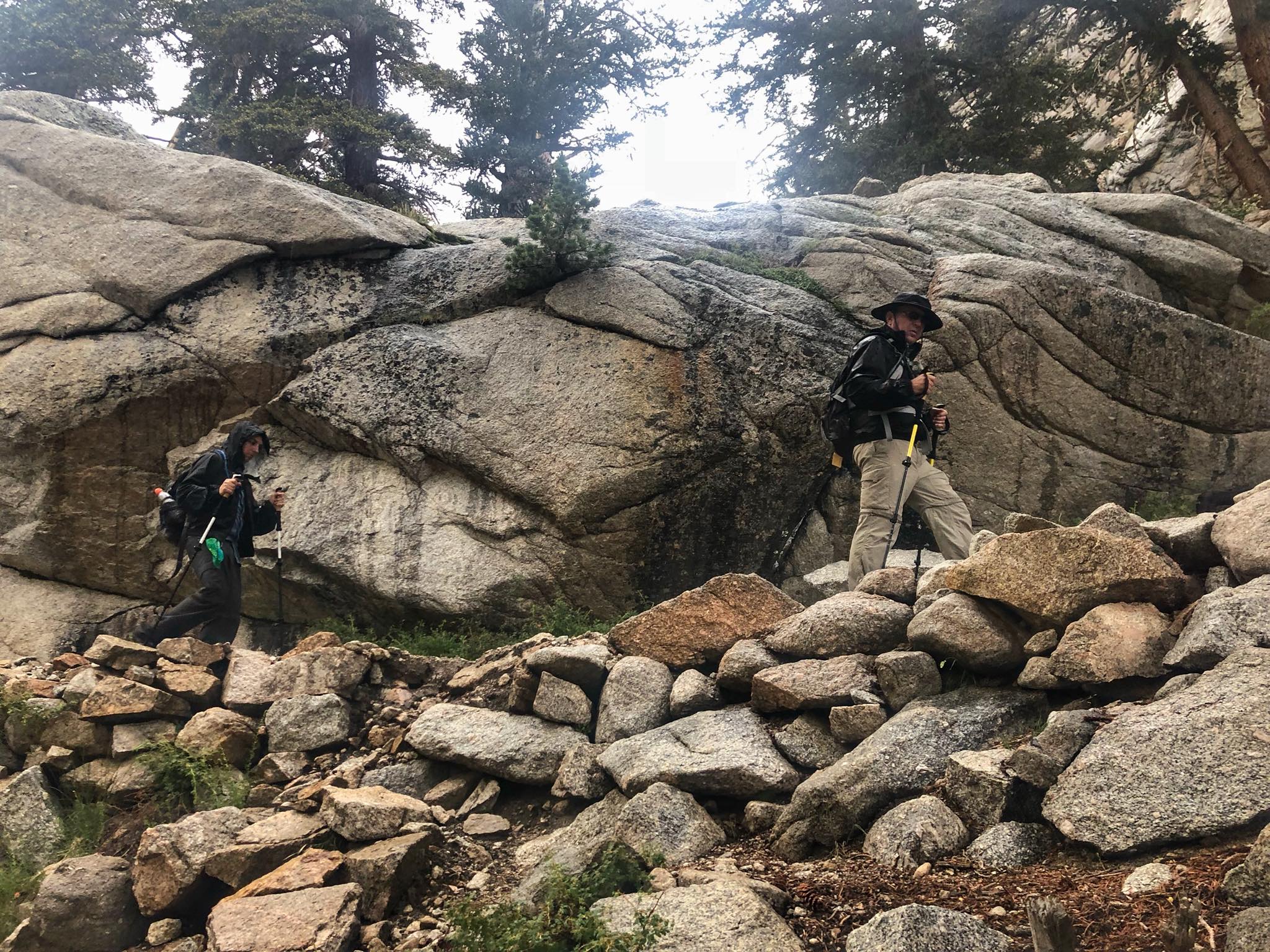
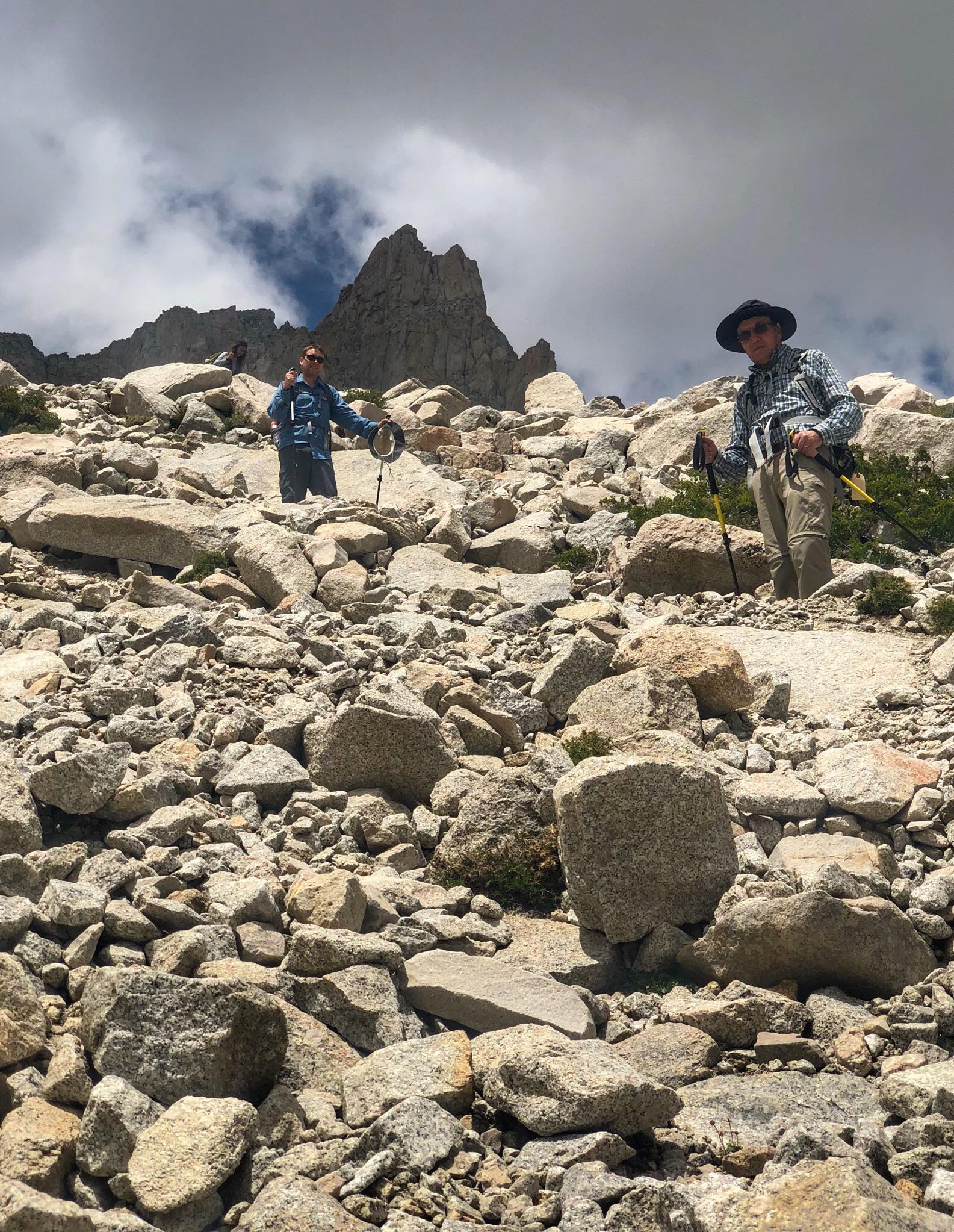
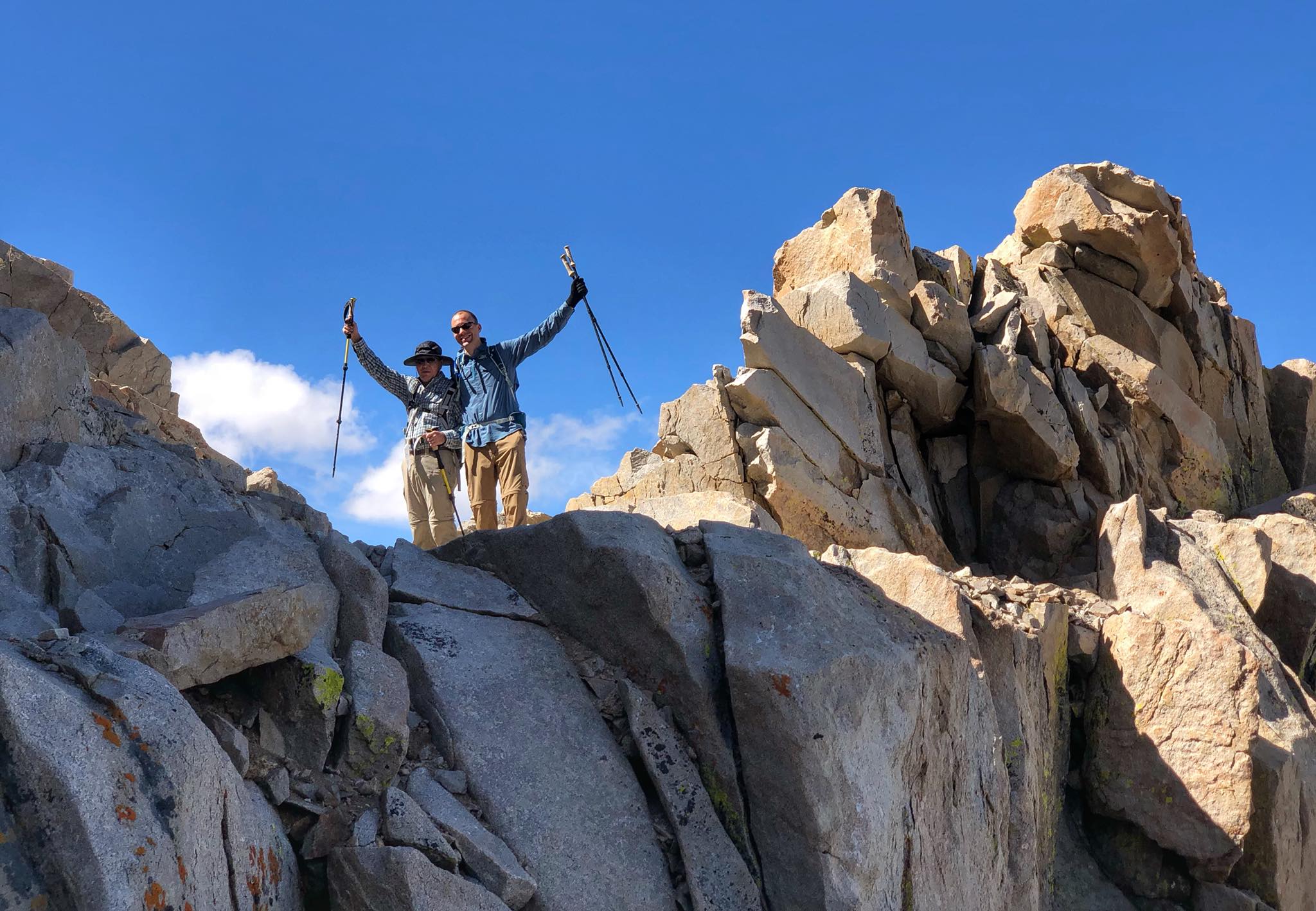
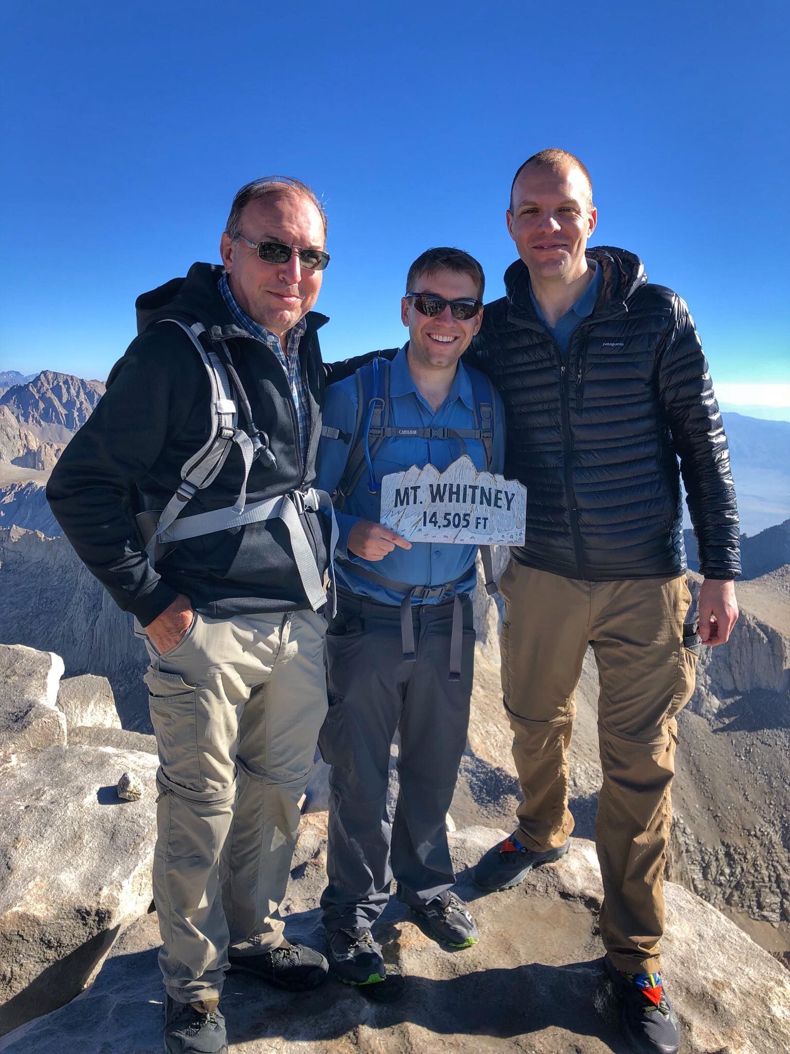
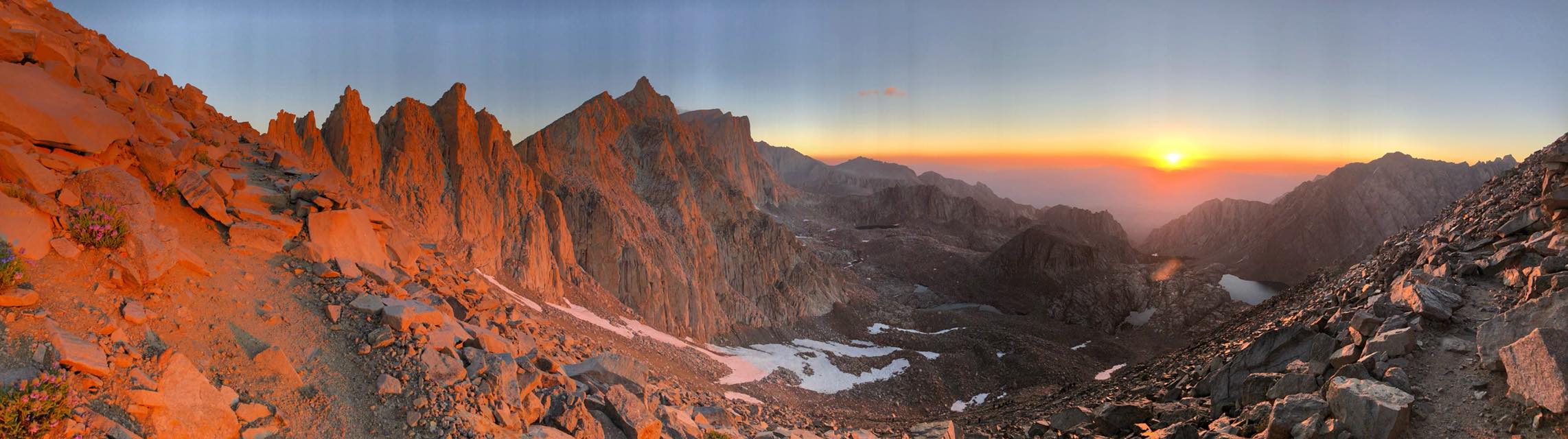
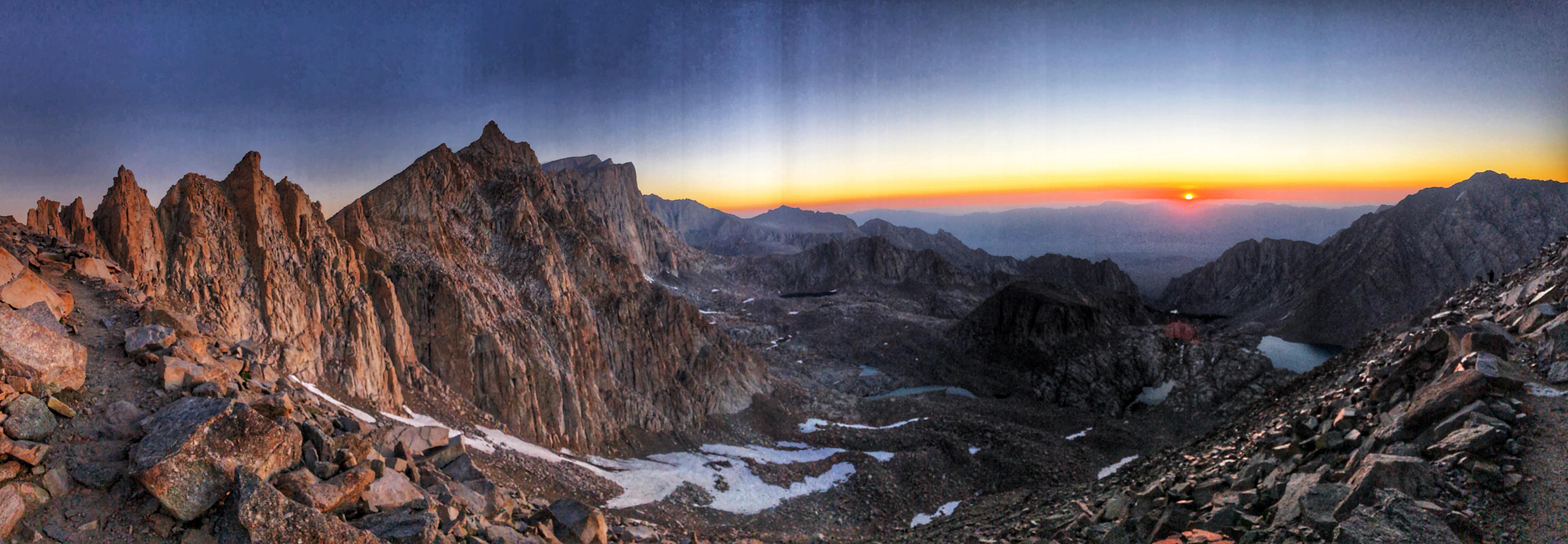
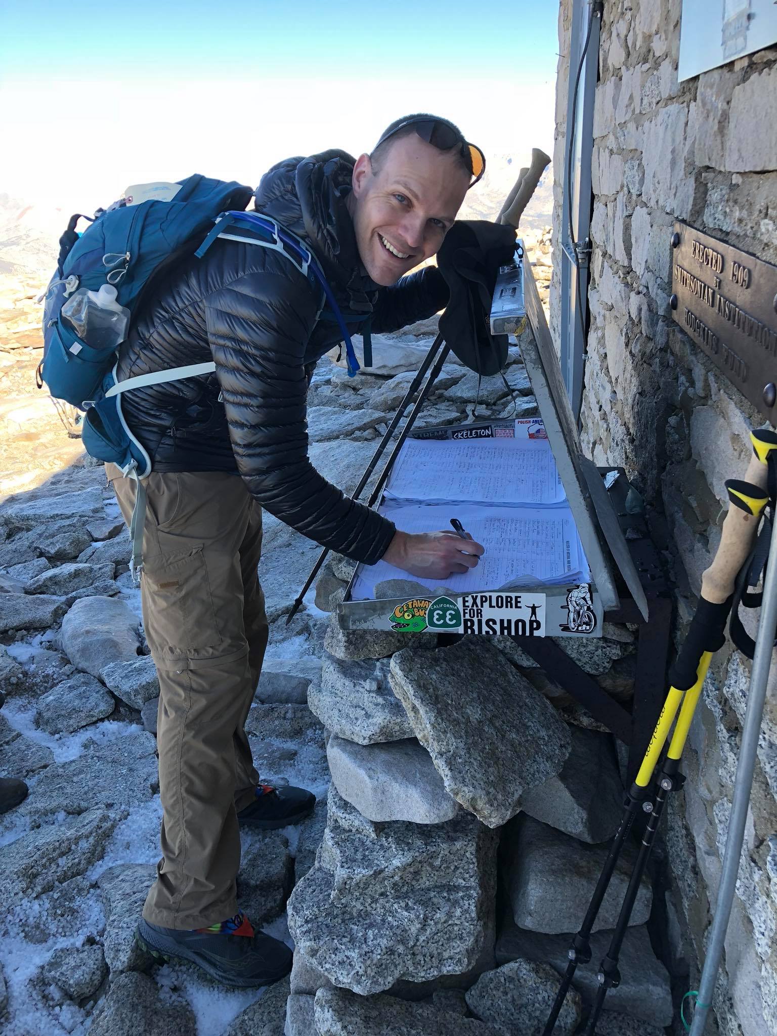
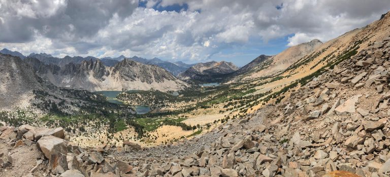
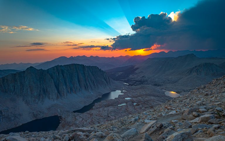
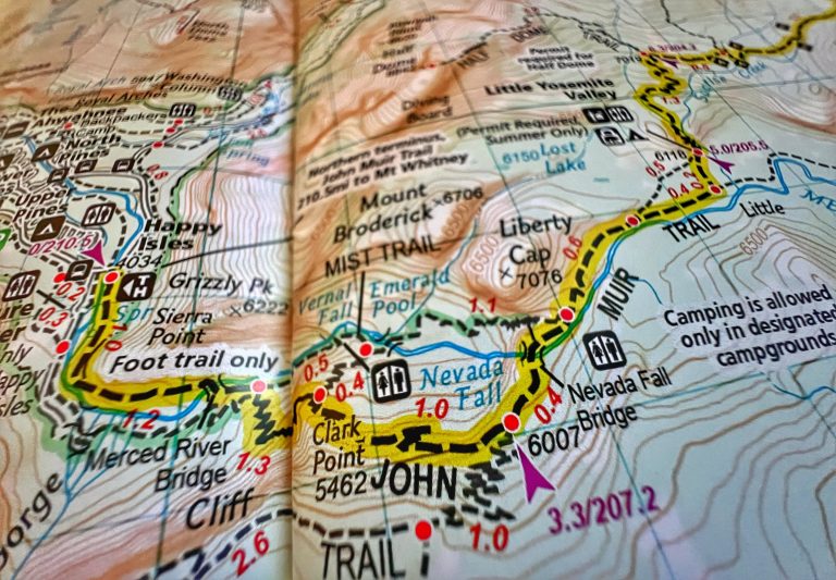
Mount Whitney is the tallest mountain in the contiguous United States with an elevation of 14,505. It is also the terminus of the John Muir Trail. The Mount Whitney Trail starts at Whitney Portal and climbs over 6,000 feet over nearly 11 miles (for a 22 mile round trip) to the summit. It can be done as a day hike or backpacked, and you’ll need to apply for a hard-to-get permit either way. We did this as a day hike with my dad and one of my brothers in late July. If you don’t go in the summer, be prepared for snow and ice.
Lone Pine, California is the nearest town with hotels and other facilities.