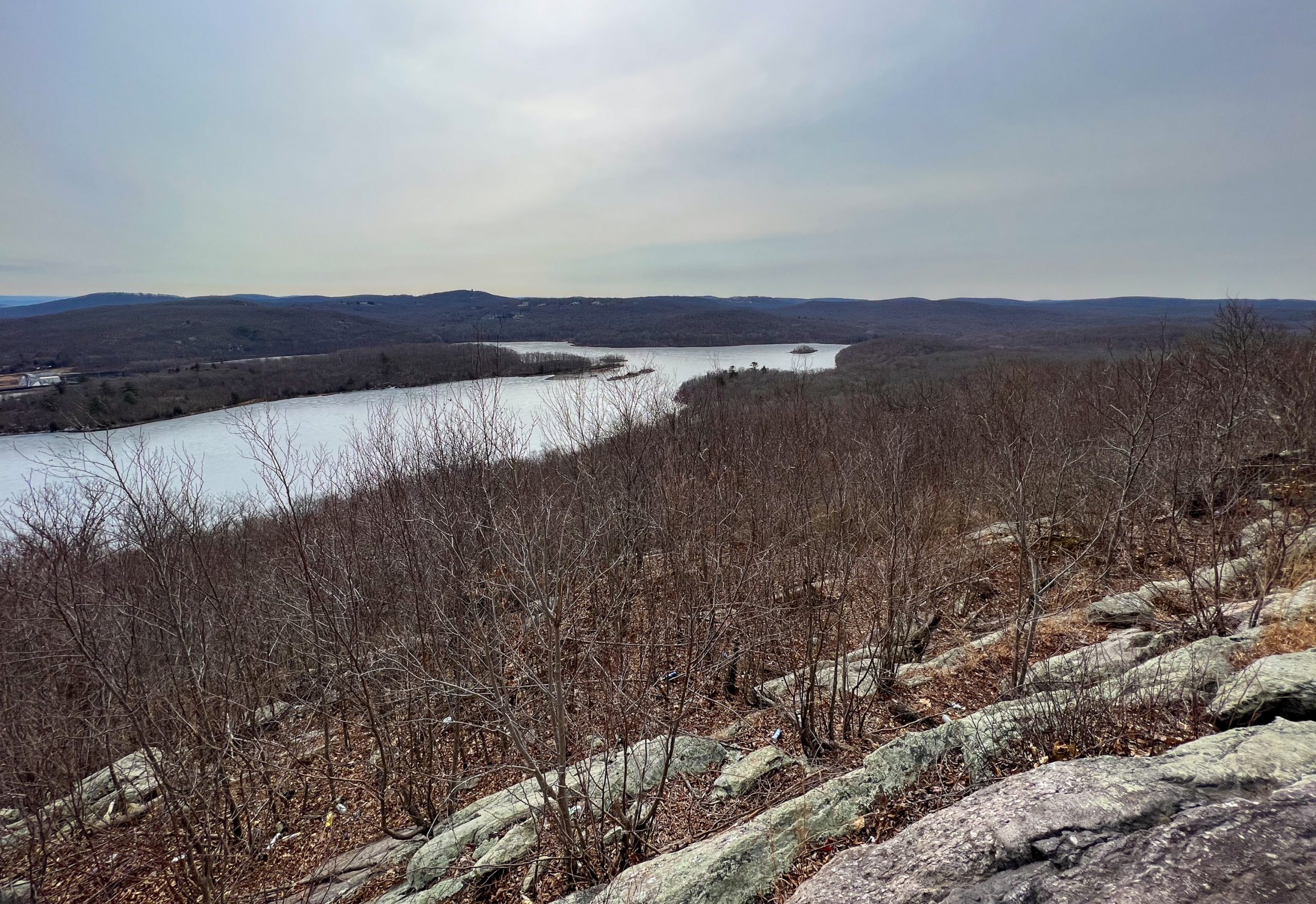
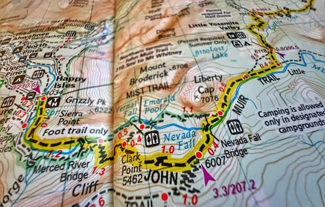
This out-and-back hike in Harriman State Park provides some great views and can be done as a day hike or a relatively easy and kid-friendly overnight backpacking trip.
This out-and-back hike in Harriman State Park provides some great views and can be done as a day hike or a relatively easy and kid-friendly overnight backpacking trip.
The 3.9 mile Castle Loop trail visits the Van Slyke Castle ruins and Ramapo Lake and provides great views of the Ramapo and Wyanokie Mountains. The shorter out-and-back hike to the ruins is a kid-friendly favorite.
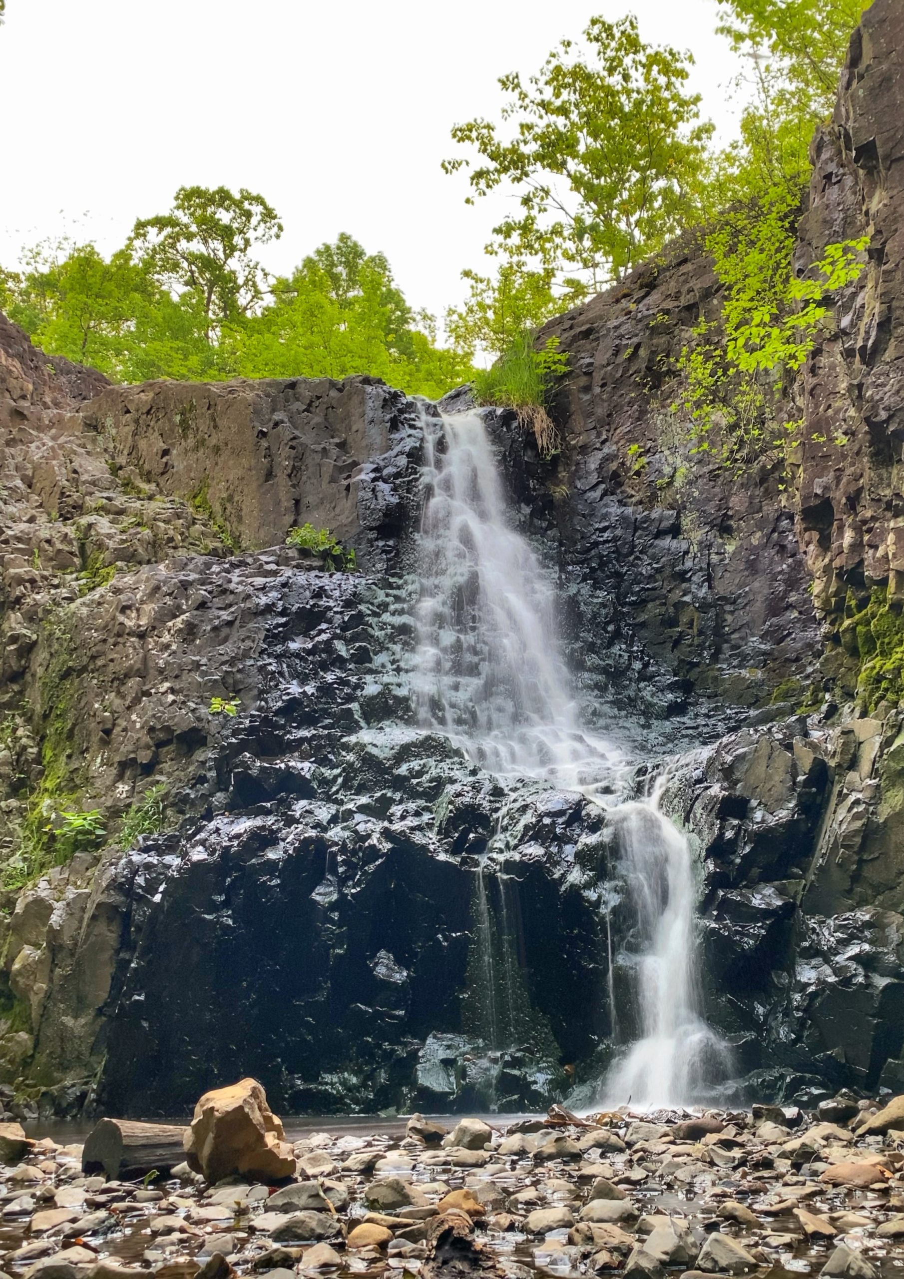
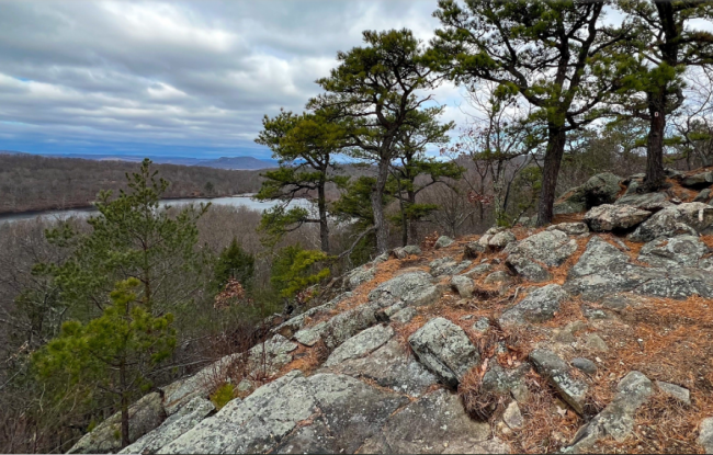
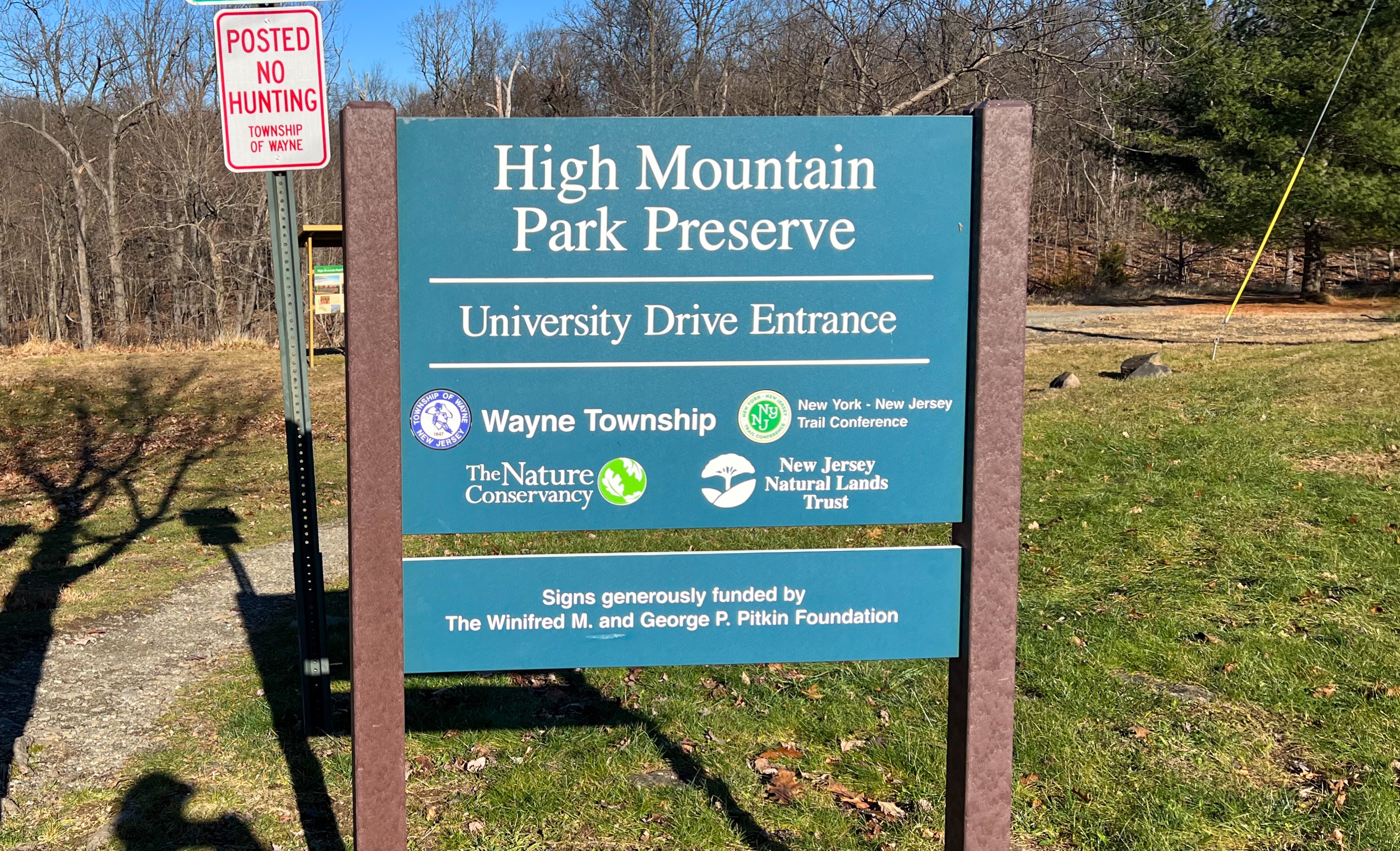
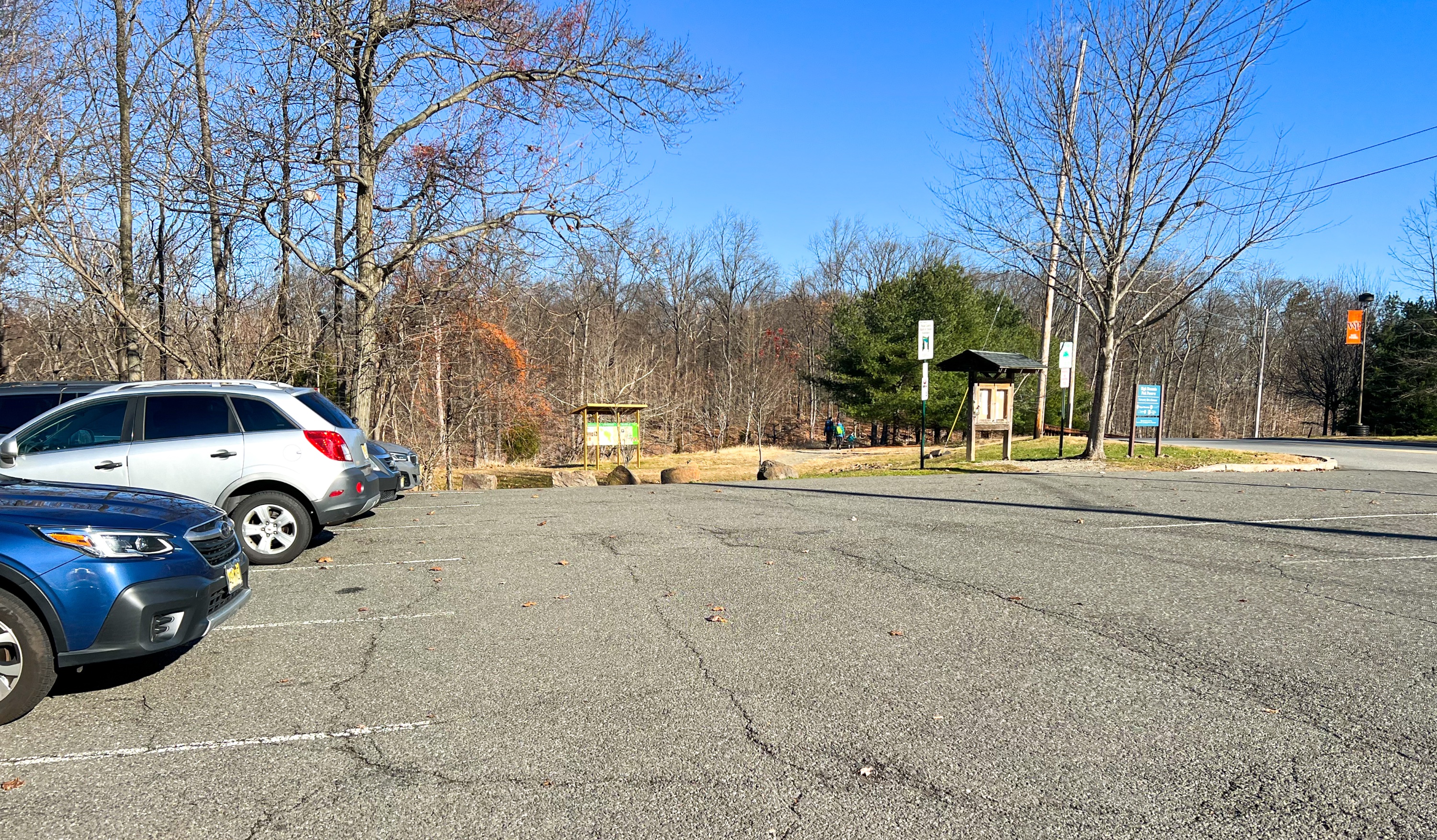
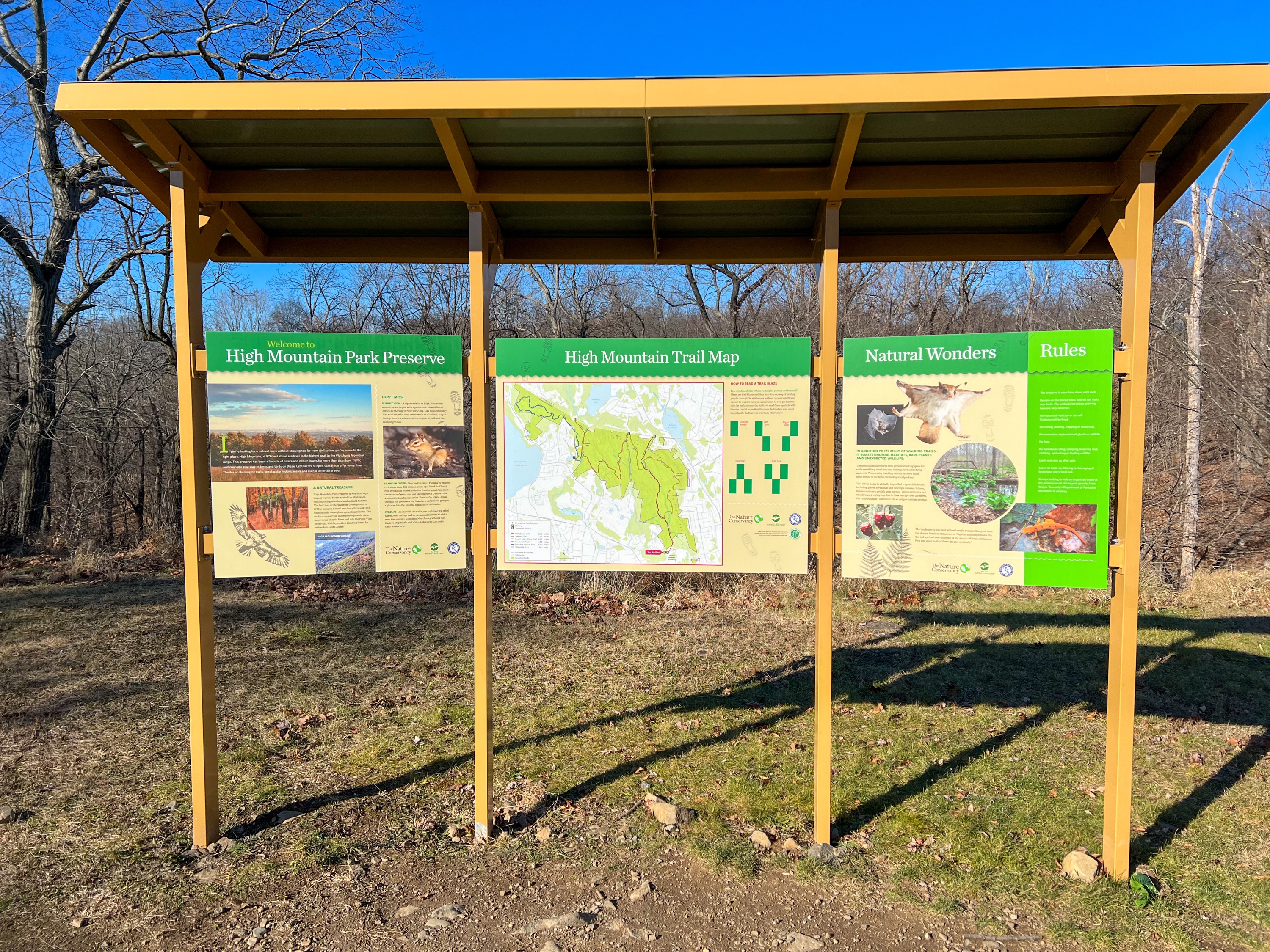
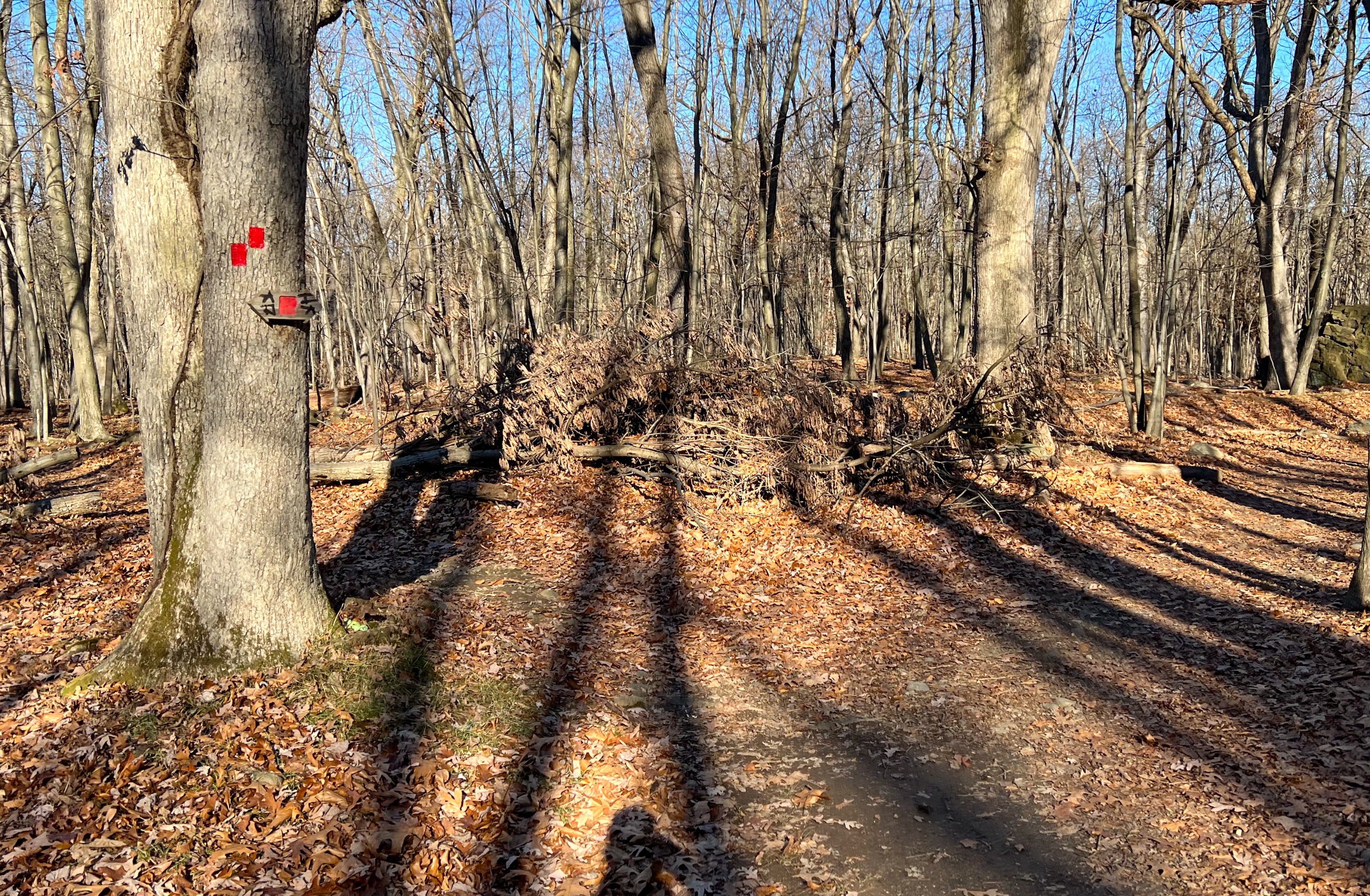
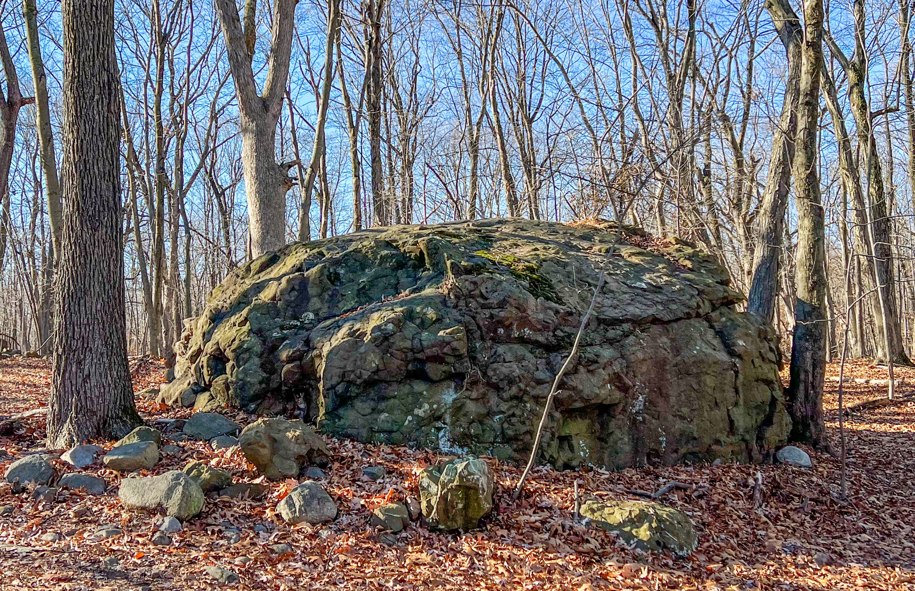
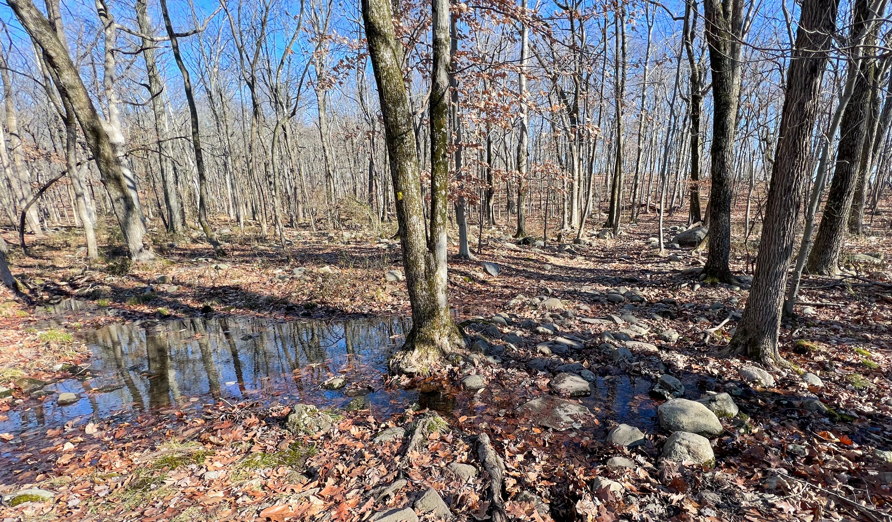
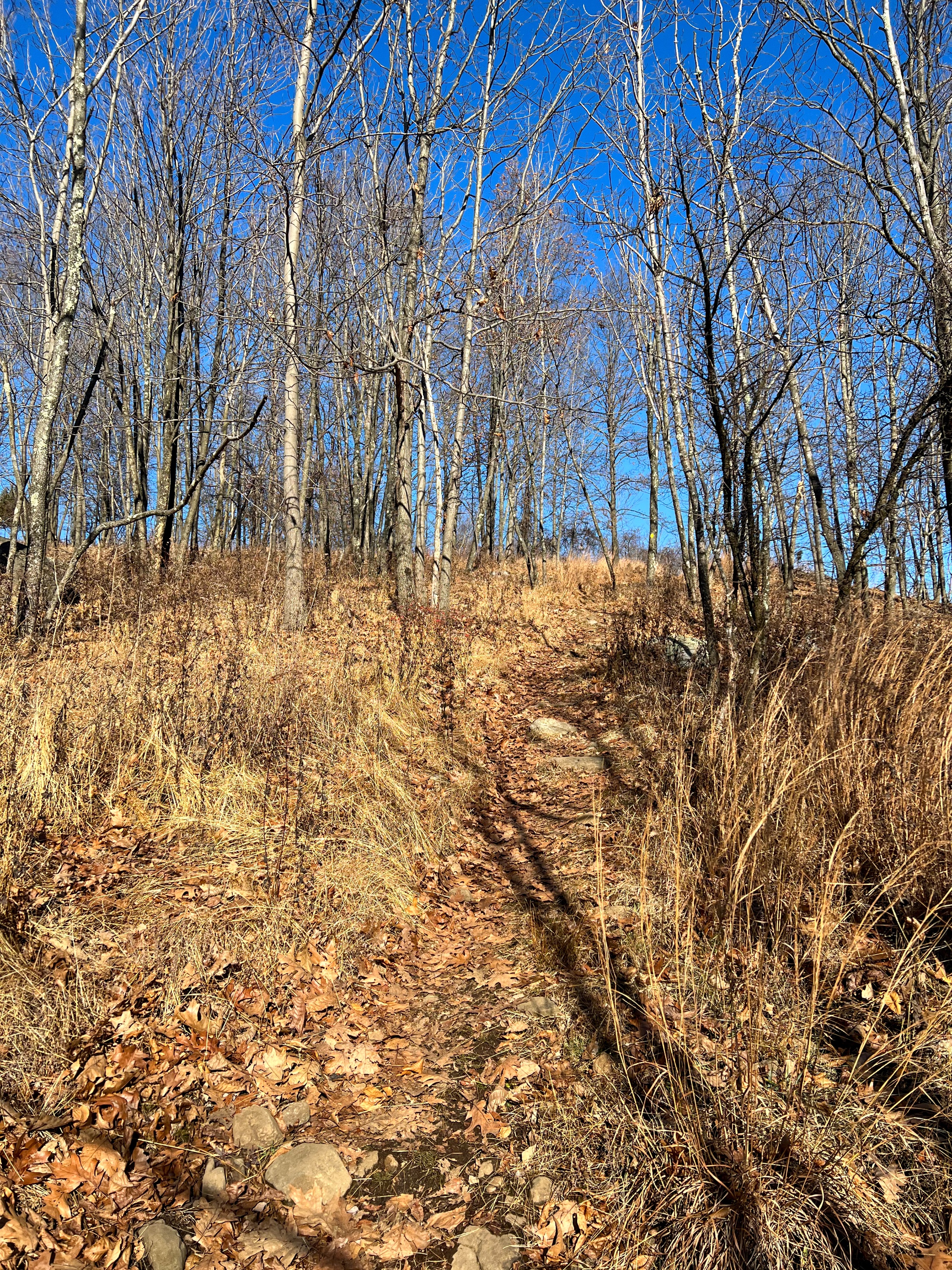
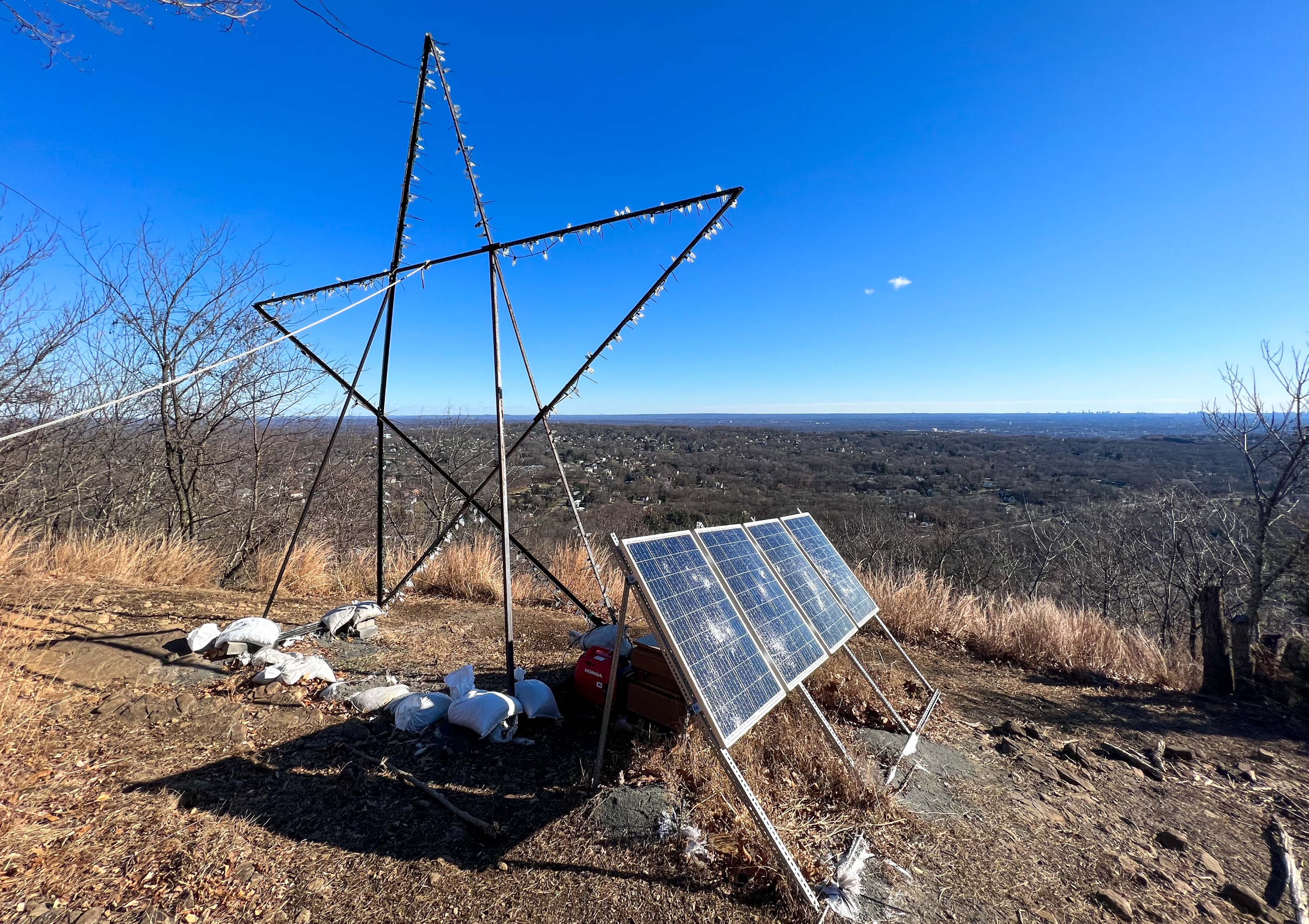
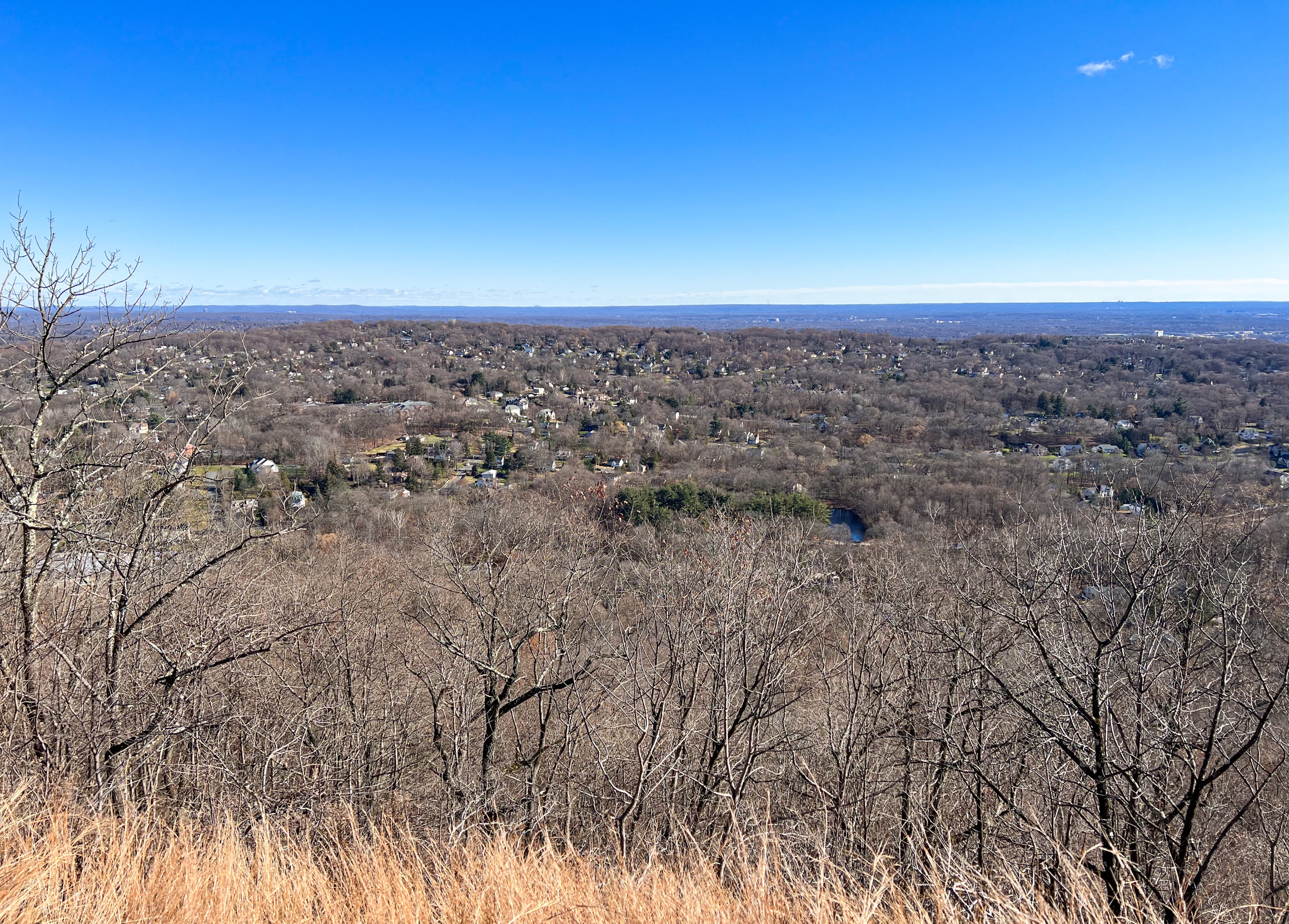
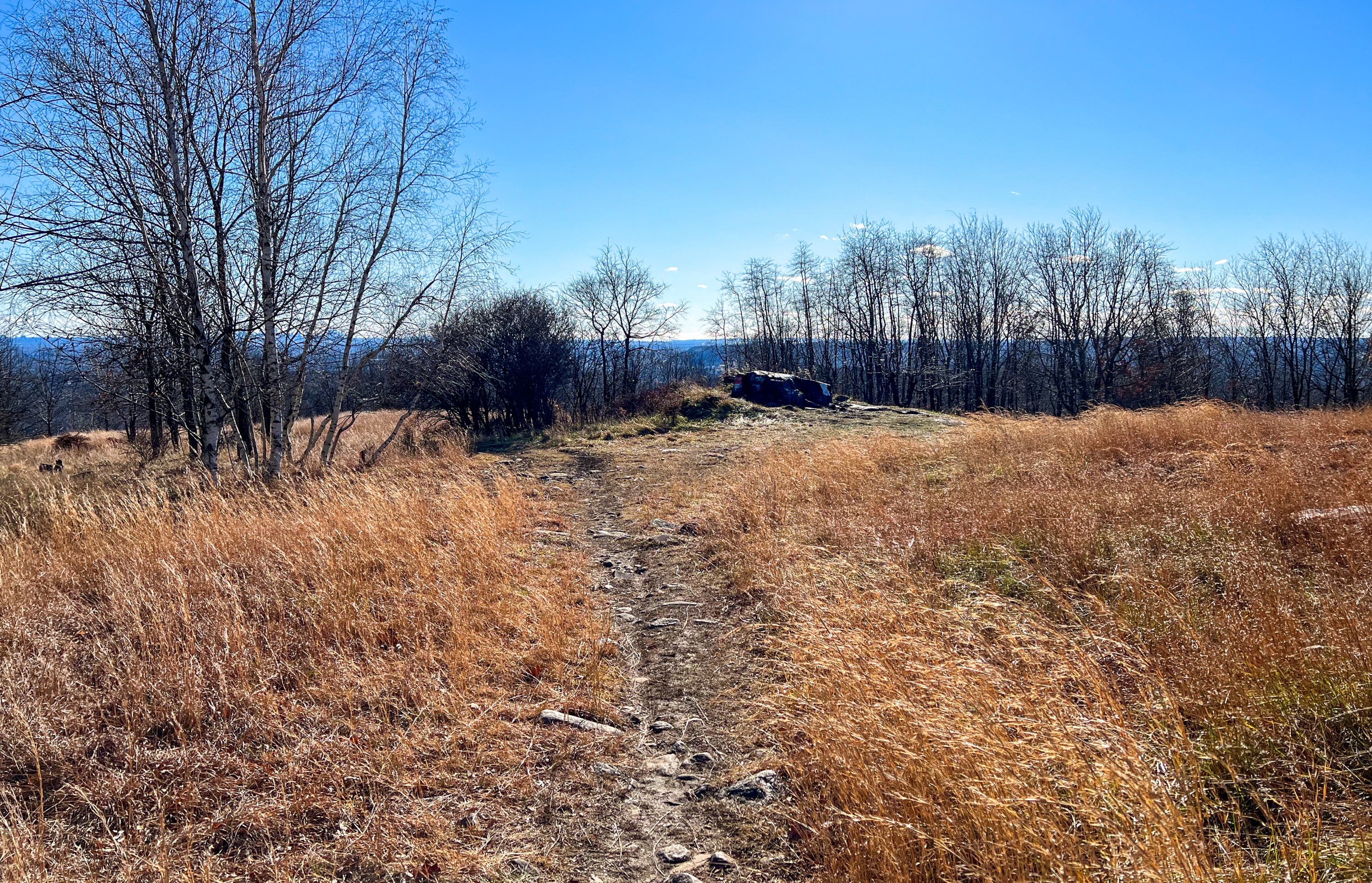
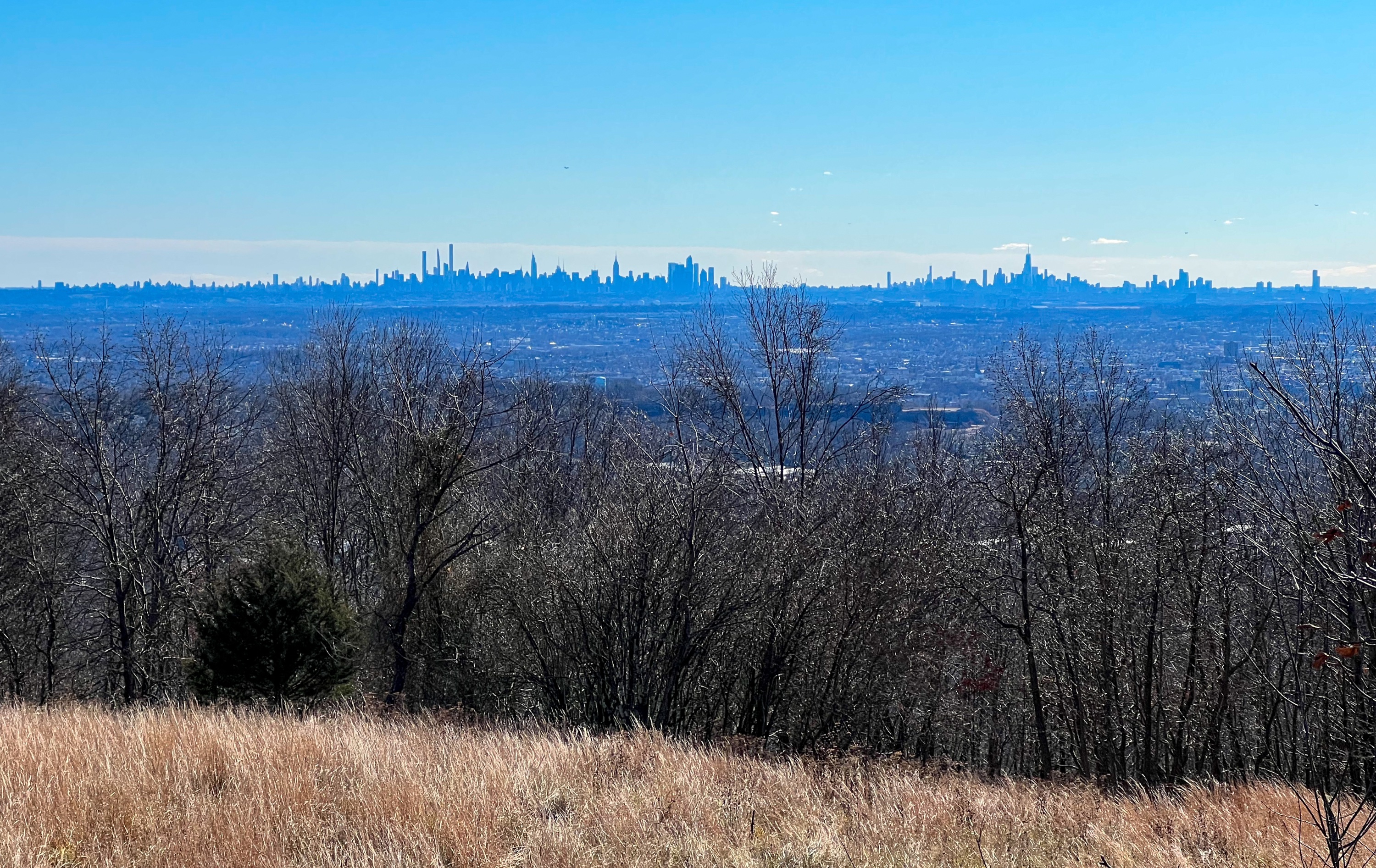
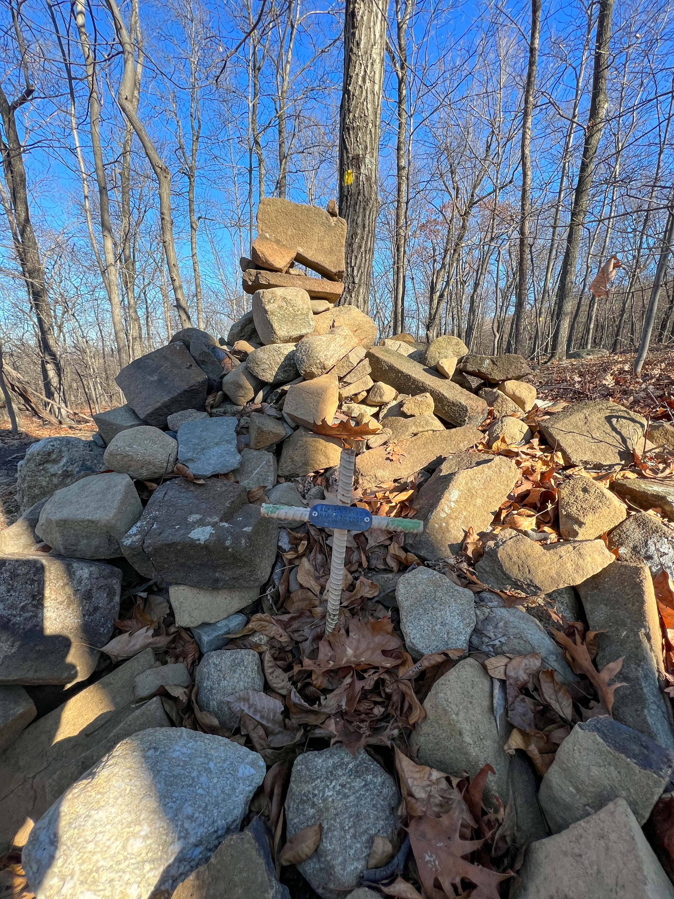
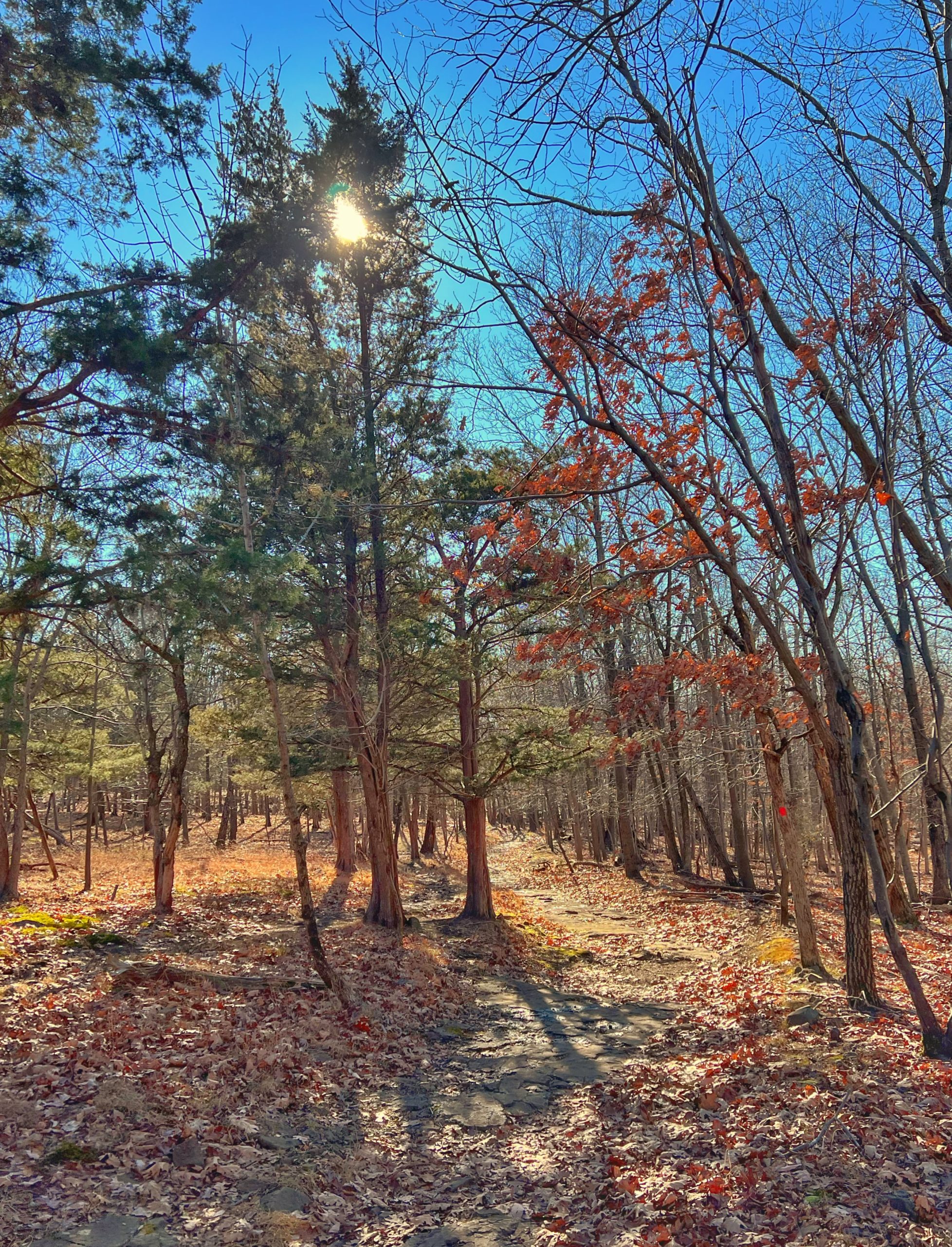
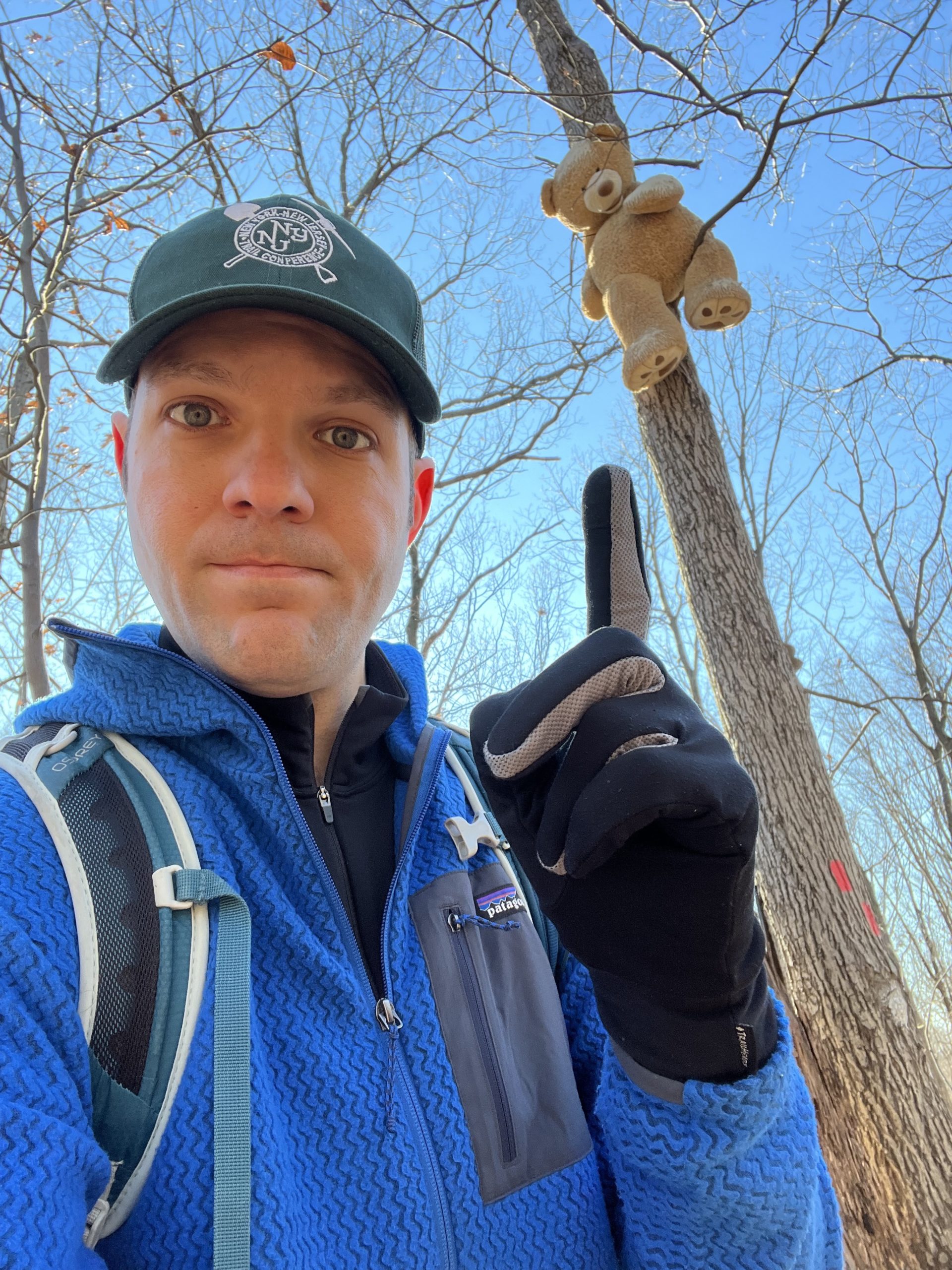
High Mountain Hike Overview High Mountain is a kid-friendly hike to the 879 foot summit of the highest part of the Watchung Mountains and the highest mountain on the east coast (south of Maine) with a view of the ocean. From the summit, this hike offers views of the north Jersey suburbs and New York City skyline. The hike also takes you to a small waterfall and passes several wetland areas. And if you look closely, you might even spot a bear in a tree. About High Mountain Park Preserve At 879 feet above sea level, High Mountain is part of the Preakness Range, a range of trap rock, and the highest peak in the Watchung Mountains. The 1260 acre High Mountain Park Preserve is North Jersey's largest tract of forested land east of the Highlands, encompassing woodland and wetland habitat. The land was protected from development in 1993 to ensure a natural sanctuary for people and wildlife amid the region's sprawling suburbs. The rocky streams from the preserve provide clean water to the Passaic River and into the Point View Reservoir, which provides drinking water for residents in north Jersey. Length: 4.6 miles Elevation gain: +715' Location: High Mountain Park Preserve, Wayne, New Jersey High Mountain Parking Park at the Red Trail Parking Lot on University Drive (Google maps) High Mountain Trail Map Jersey Highlands (High Mountain - Map 128) - Avenza - NY-NJ Trail Conference High Mountain Trail Map - The Nature Conservancy Hike description From the parking lot, walk towards the kiosk which features interesting information on the history, geography, and wildlife of the park. Follow the trail adjacent to a row of trees along University Drive as it heads towards the woods. As you enter the woods, look for and continue to follow the red blazes. Although the trails are relatively well-marked, there are many unmarked trails in the park and it is very easy to get lost if you don't follow the blazes. Red blazes Soon you'll reach a very large boulder on the left side of the trail. Large boulder Continue to follow to follow the red blazes until you reach a junction with the yellow trail. Make a right and now follow the yellow blazes. A short distance ahead the trail crosses a wet area and stream on some rocks. Crossing of wet area on rocks Continue to follow the yellow blazes as the trail skirts Mount Cecchino, crosses another stream, and then begins a steep climb along a woods road up towards High Mountain. Steeply climbing High Mountain Near the end, continue to follow the yellow blazes as a foot path heads off sharply to the left away from the woods road and towards the summit. Foot path to the summit Soon you'll reach a clearing, marked by a large star, which is hooked up to solar power. According to a Bergen Record story, it appears to have started as a scout project over 40 years ago, and it was temporarily revived in 2020 to bring home to the community during the COVID-19 pandemic, although it was also vandalized several times. The star-shaped decoration that was placed atop High Mountain in December will return to the summit next week, officials said. The 25-foot star was removed from the mountaintop after it was vandalized in January. But Mayor Randy George said he decided to reinstall the star to "give people hope" during the coronavirus pandemic.... "This is a really bad thing," the mayor said of the virus. "I'm just trying to give people something to look at — something to remember Christmas by," he added. "I guess everyone is different, but for me, it's going to lift my spirits up."... The star is made out of iron, and the lights strung around its five points are powered by a solar generator. The letters will be illuminated in the same way, George said.... Originally a project by local Boy Scouts, installation of a star was not done for at least four decades until officials revived the holiday tradition at the end of last year. The Record Star on the High Mountain summit Photos of the illuminated star Photo from The Record Photo from The Celery Farm The illuminated star From here, you have a view of the north Jersey suburban sprawl, the New York City skyline, the Verrazano-Narrows Bridge and a small part of the Atlantic Ocean. View of the north Jersey suburbs from near the High Mountain summit New York City skyline Continue following the yellow blazes uphill towards the largely bald summit. High Mountain summit Near the summit is a basaltic bedrock exposure roughly in the shape of the United States that's been painted with an American flag. View from the summit of High Mountain Park Preserve From here, you can also see the New York City skyline. View of the New York City skyline from the High Mountain summit Continue to follow the yellow trail along the summit. Looking back towards the basaltic bedrock "American flag" exposure The trail descends and climbs along the summit but ultimately begins a steep descent. Along the descent, on the left of the trail you might notice a rock pile, which appears to be a memorial, marked with a rebar cross. A small metal marker on the cross reads: "ALFRED BANKS | MARCH 30 2009 | AGE 79" Memorial Make sure you follow the yellow blazes as you descend. At the junction with the red trail, turn right. Follow the red blazes further downhill until you reach a small waterfall. It's pretty small and does not appear on many maps, so calibrate your expectations. This is not a huge waterfall. View of the High Mountain waterfall from below the trail Retrace your steps back uphill towards the yellow trail junction. Pass the junction and continue to follow the red blazes as the trail passes several wet areas, cedar trees, and exposed bedrock, smoothed by retreating glaciers. Cedar trees And don't forget to keep your eyes peeled, because there are bears in these woods, and bears can climb trees. What is even going on here? Continue to follow the red blazes, past the second junction with the yellow trail. Keep following the red blazes to retrace your steps back to the parking lot.


 Refine Search


