Hike Overview
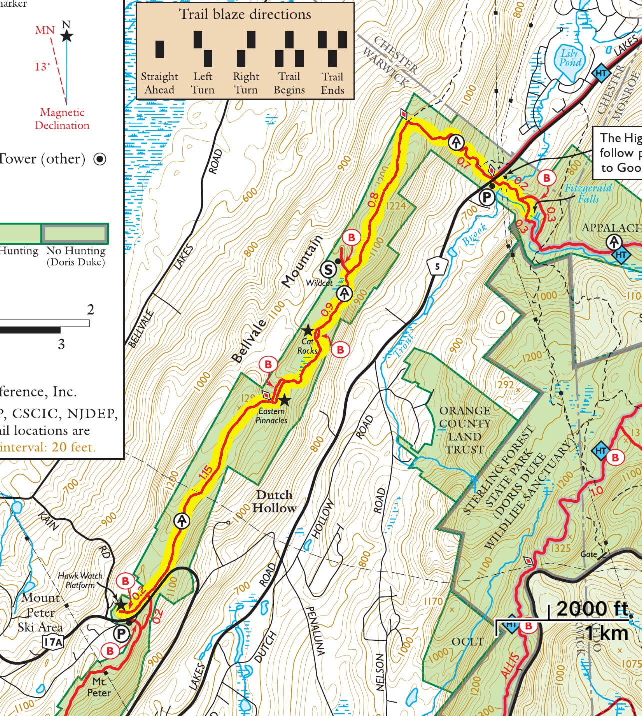
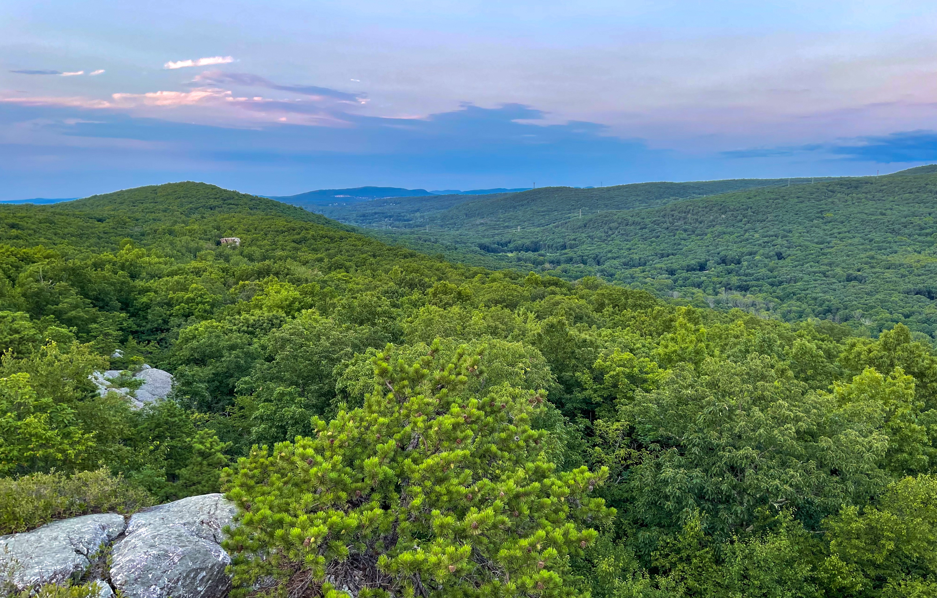
Visit Cat Rocks and Eastern Pinnacles – two dramatic rock outcrops with panoramic views, plus Fitzgerald Falls, and end your hike at Bellvale Farms Creamery, one the best ice cream shops in the country.
This hike is best done as a two-car point-to-point, but it could be done as an out-and-back. We recommend leaving a car at Bellvale Creamery on Kane Road and then shuttling north to the Appalachian Trail parking on Route 5. End your hike with an ice cream at Bellvale Creamery.
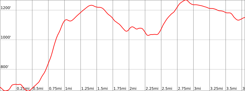
Hike length: 3.8 miles (or 7.6 miles round trip)
Elevation gain: +936 feet
Location: Appalachian Trail, Warwick, NY
Parking
We recommend doing this hike as a two-car shuttle. Leave one car at Bellvale Creamery on Kain Road off of Route 17A (Google maps: 1390 Route 17A, Warwick, NY). There are multiple overflow parking areas here. Then shuttle together to the start of the hike to the Appalachian Trail parking on Lakes Road – Route 5 (Google maps). End your hike with an ice cream at Bellvale Creamery.
Trail Maps
- Sterling Forest Trails Map – NY-NJ Trail Conference (paid)
- Appalachian Trail: Delaware Water Gap to Schaghticoke Mountain Map – National Geographic
Trail Description
We’ll begin with a short detour to visit Fitzgerald Falls, but you can skip this if you want. From the shoulder parking area, cross the street and head east to enter the woods. The trail dips down and then you’ll cross Trout Brook on a wooden footbridge. After 0.2 miles from the road, you’ll pass a junction with a blue trail.
Fitzgerald Falls
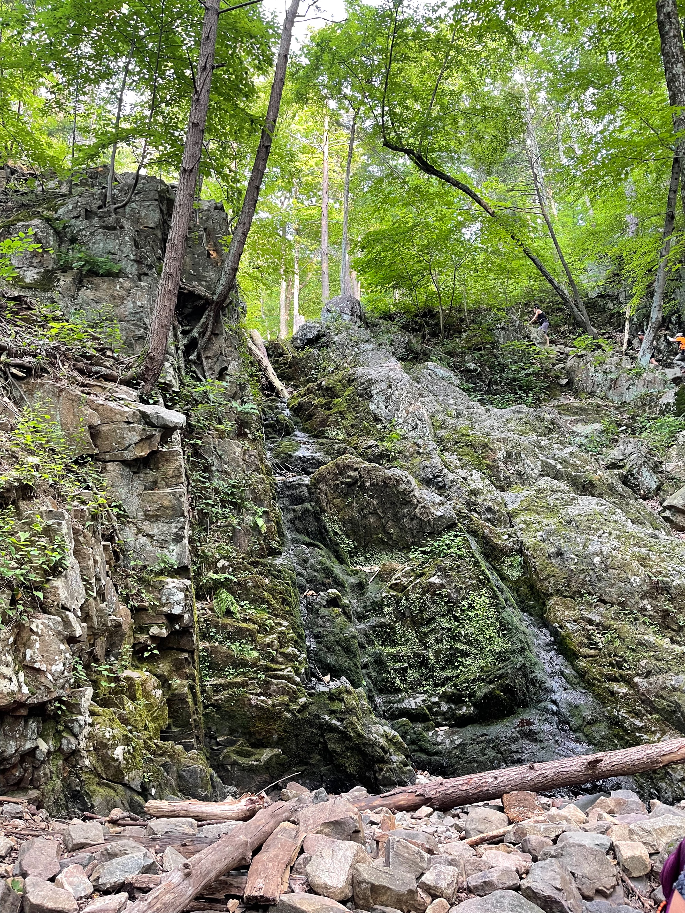
Continue a short distance further and you’ll reach Fitzgerald Falls on your left. This is a 25-foot waterfall in a rocky cleft.
When I visited, it was very dry and the falls were barely a trickle.
From here, retrace your steps back to your car, cross the street, and reenter the woods. The trail now begins a relatively steep climb of about 500 feet up Bellvale Mountain on switchbacks and rock steps. At about 0.7 miles from the parking area, the Appalachian Trail makes a sharp left turn to the south along a woods road on the ridge.
About 0.7 miles further, you’ll cross an old stone wall and pass stone foundations on the west side of the trail.
In another 0.2 miles, you’ll reach a junction with a blue spur trail which leads 600 feet west to the Wildcat Shelter.
Cat Rocks
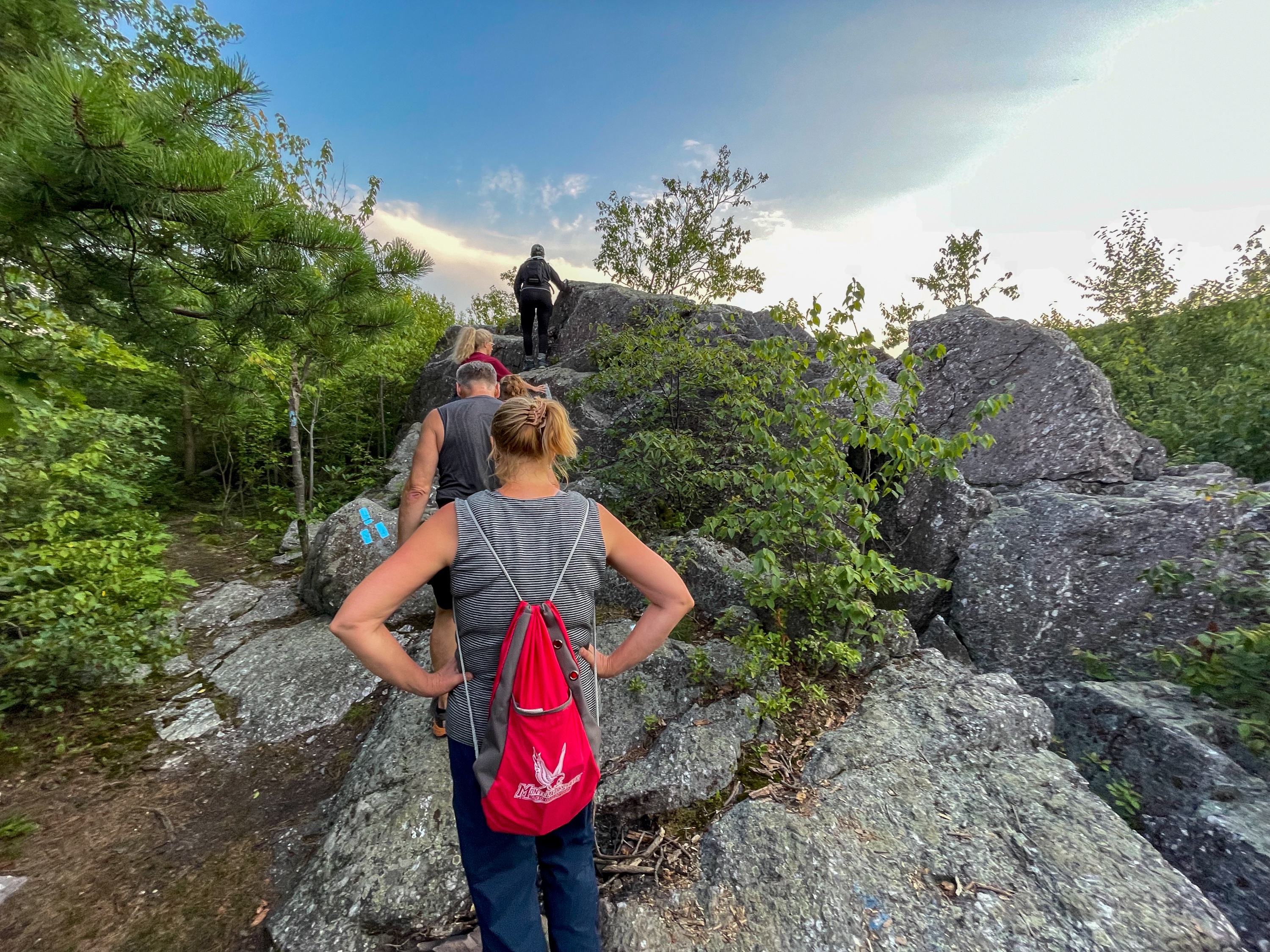
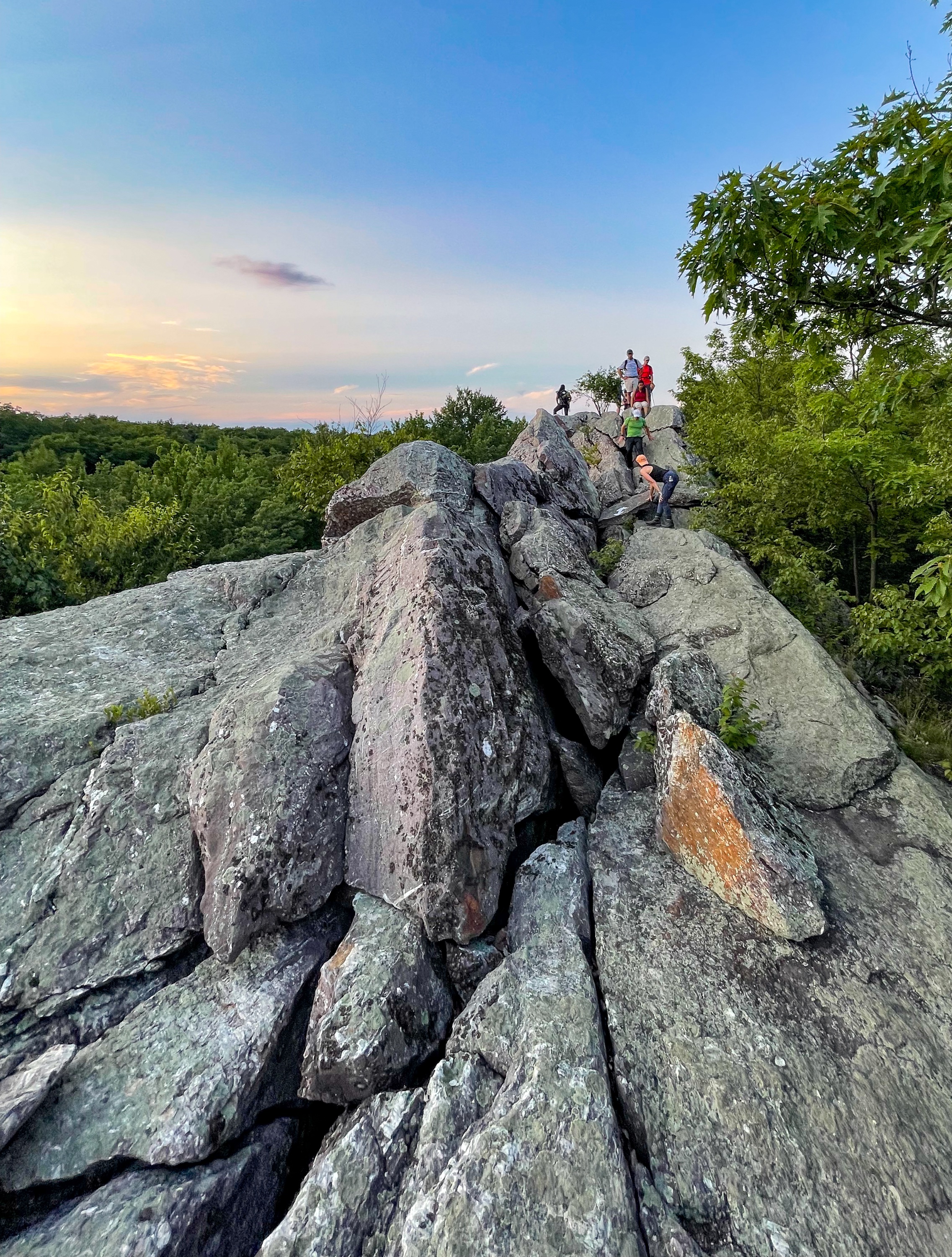
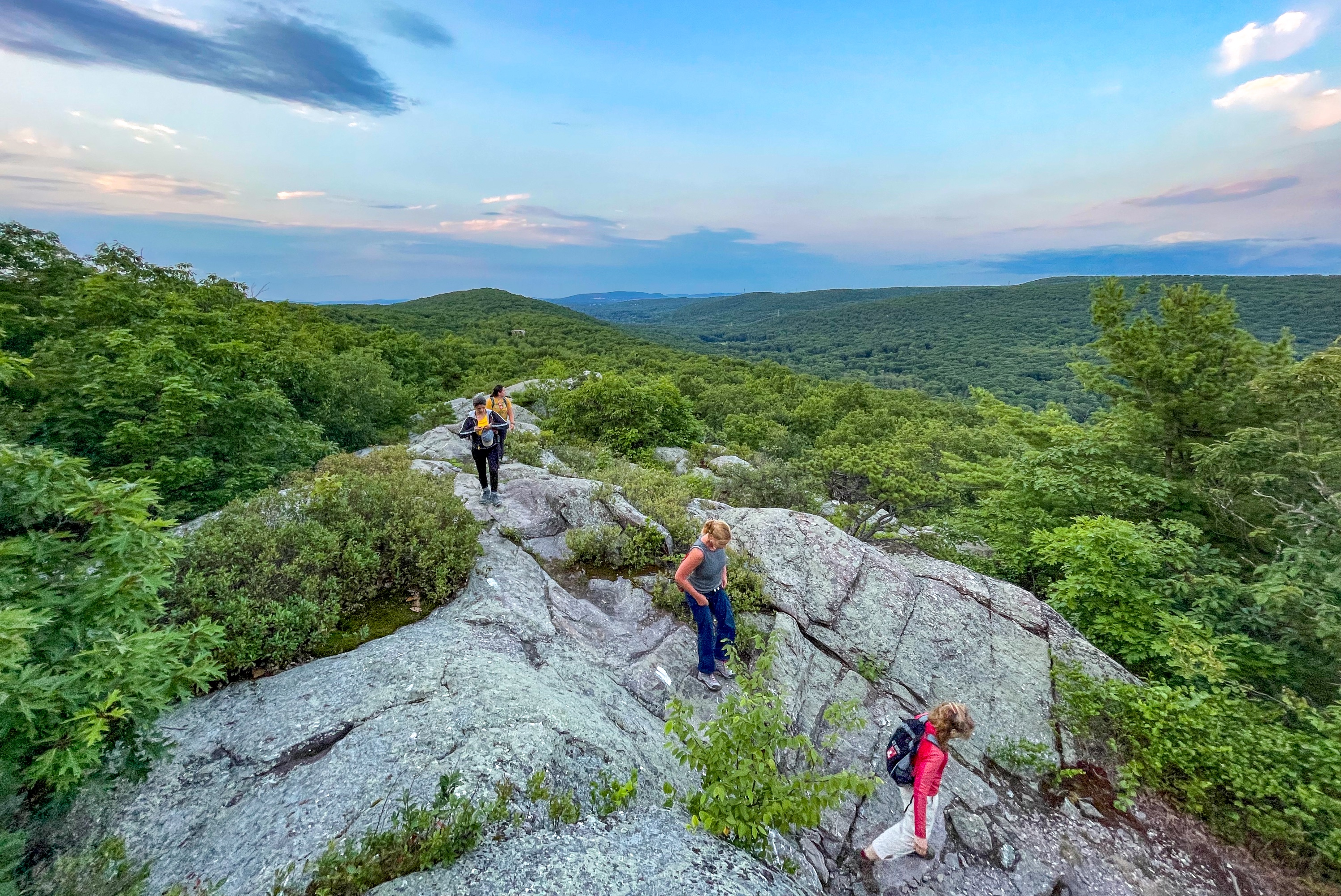
The trail now climbs steeply to Cat Rocks, a dramatic rock outcrop with panoramic views in all directions. You can bypass this section via a short blue-blazed trail, but why would you want to do that?
You’ll need to use your hands to scramble as you descend from Cat Rocks.
In 0.2 miles you’ll cross a brook. Another 0.3 miles later, you’ll reach the Eastern Pinnacles.
Eastern Pinnacles
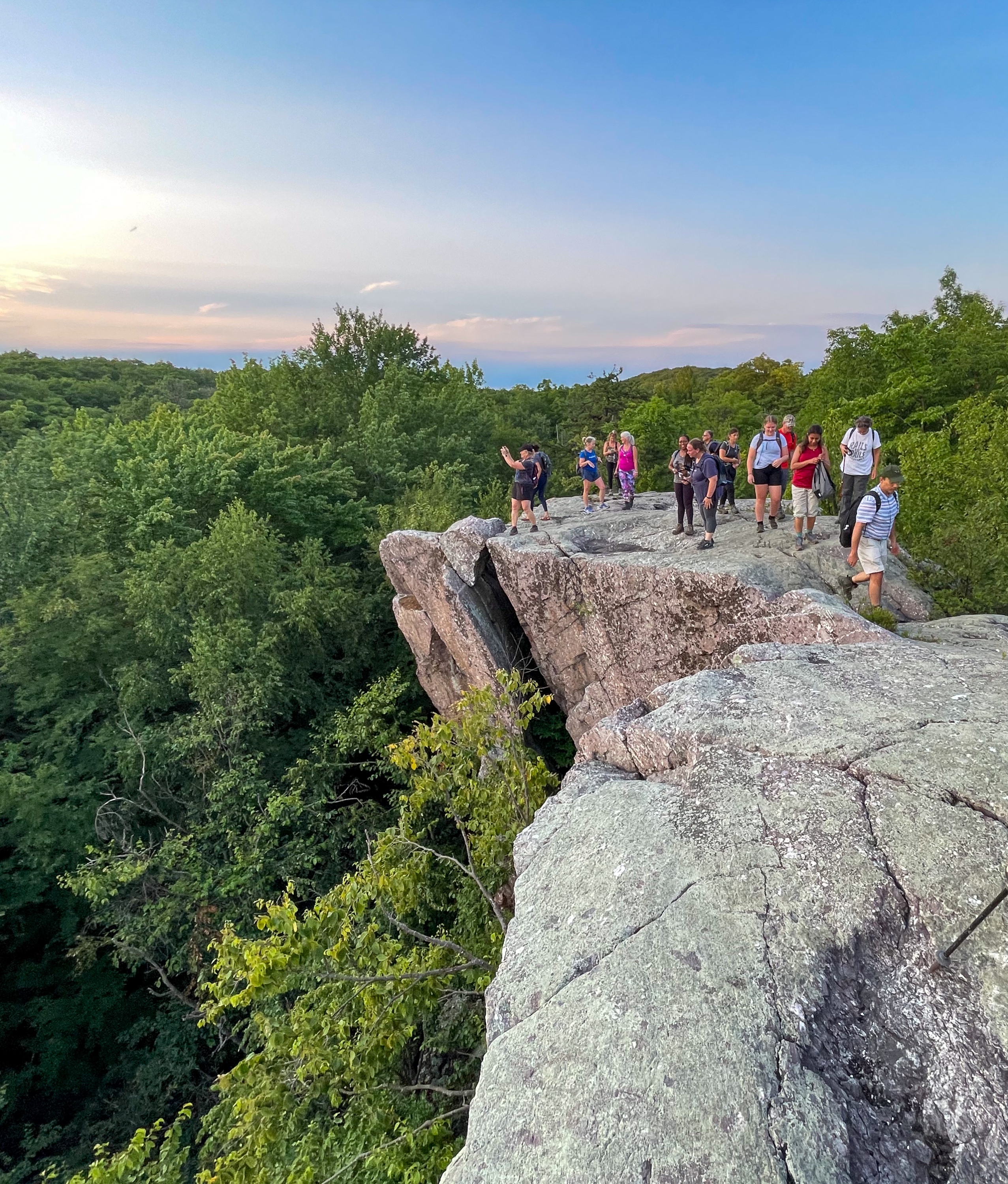
Eastern Pinnacles is a rock outcrop of puddingstone conglomerate with incredible views over Sterling Forest to the south and east. You could also bypass this section via a short blue-blazed trail.
In another 0.2 miles, you’ll reach the top of your climb, and then begin a gradual descent. In 0.4 miles, you’ll cross a gas pipeline cut. After another 0.7 miles, you’ll reach a junction where the Appalachian Trail turns left to continue south, but we will continue straight and follow a blue-blazed side trail.
Mount Peter Hawk Watch
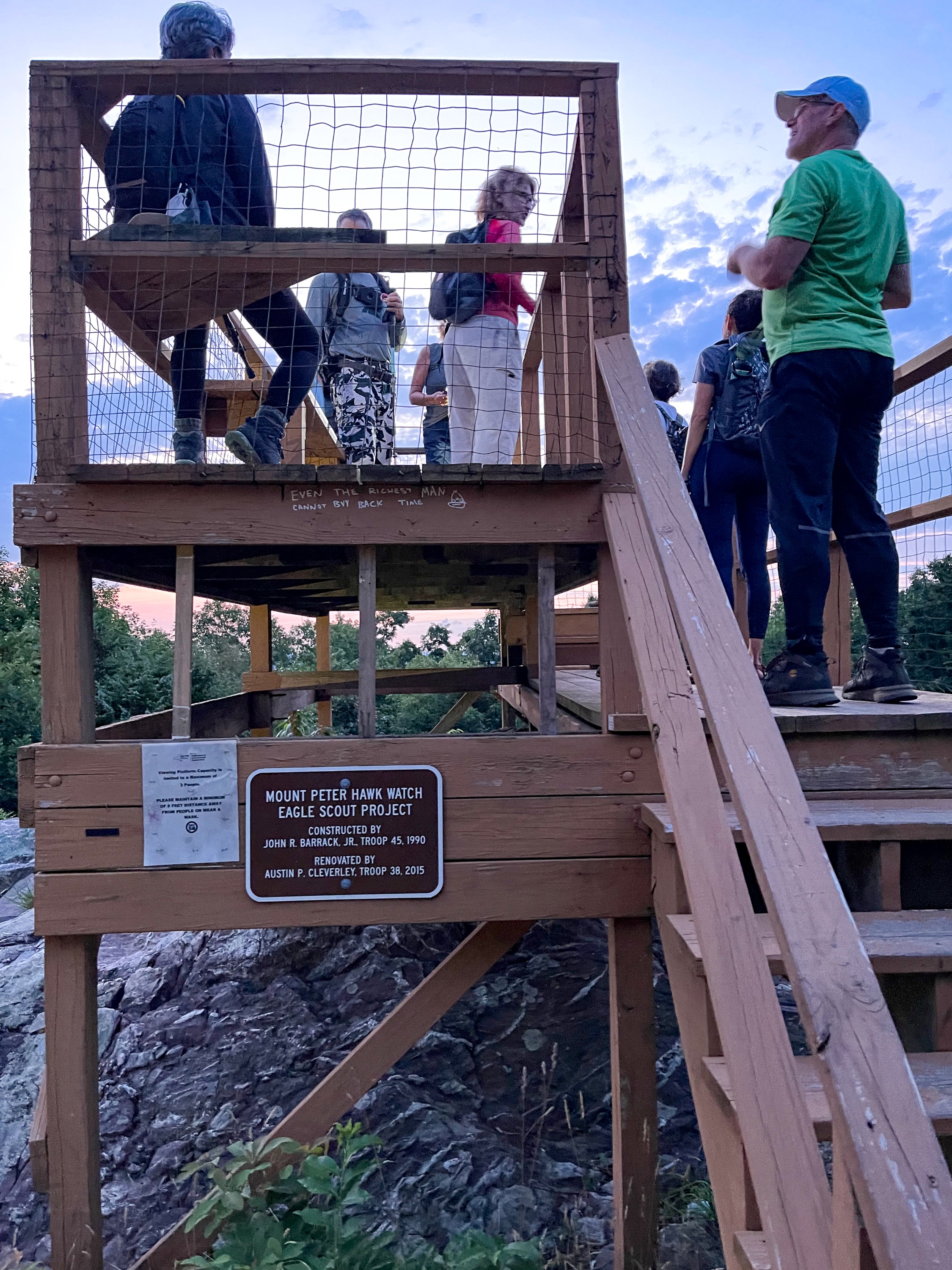
Follow the blue trail 0.2 miles to reach the Mount Peter Hawk Watch on the right (west) side of the trail, featuring panoramic views to the west. The observation platform was built as an Eagle Scout project in 1990 and renovated in 2015.
Bellvale Farms Creamery
Continue to follow the blue blazes just a few feet further to the parking area with your car and the best part of the hike – Bellvale Farms Creamery – one of the best ice cream shops in the country. Try the Calf Trax and enjoy the views.

