Overview
This is a 3-day, 2-night backpacking itinerary for Harriman State Park with camp sites on Black Rock Mountain the first night and Stahahe High Peak the second night – both with great sunset views. It’s a relatively low-mileage loop that also passes Bald Rocks and Boston Mine and could also be done as a day hike.
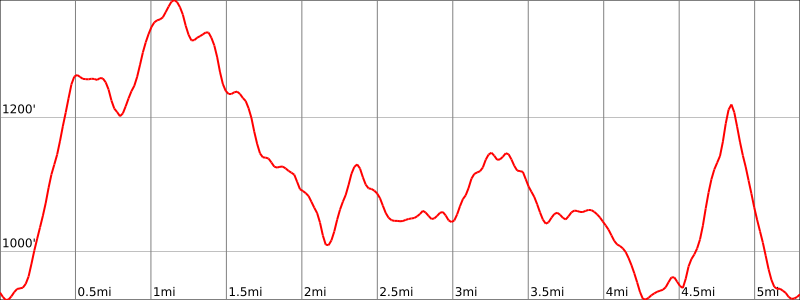
Length: 5.3 miles
Elevation gain: +1,137 feet
Location: Harriman State Park, NY
Parking
Park on the shoulder of Kanawauke Road where the Ramapo-Dunderberg Trail crosses (Google maps link). If it’s full, there is another parking area about a quarter mile to the east at the trailhead for the Victory trail.

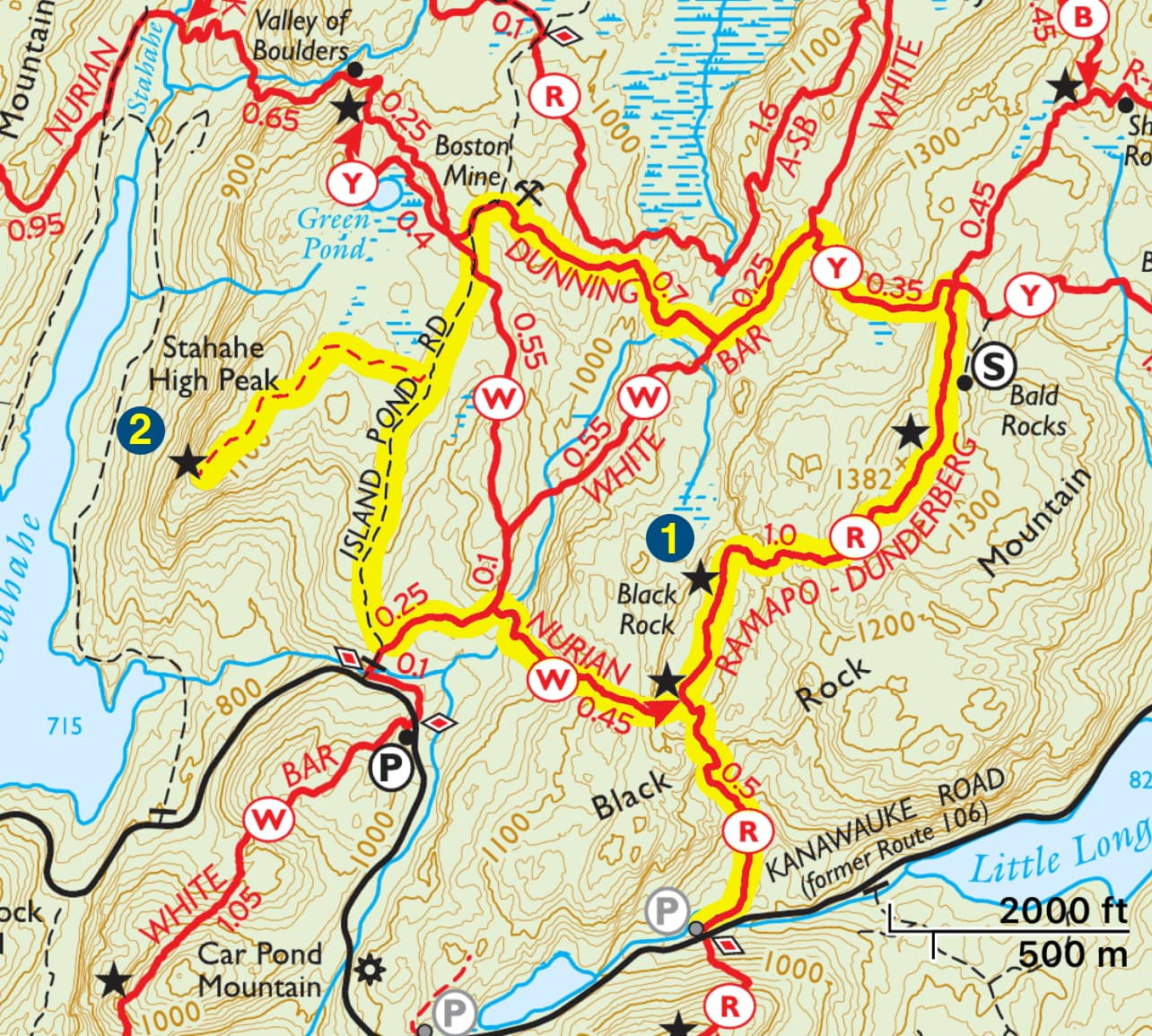
Black Rock Mountain & Stahahe High Peak Maps
- Harriman-Bear Mountain Trails Map – NY-NJ Trail Conference (print)
- Harriman-Bear Mountain Trails Map – NY-NJ Trail Conference (Avenza)
Black Rock Mountain & Stahahe High Peak Trail description
Day 1
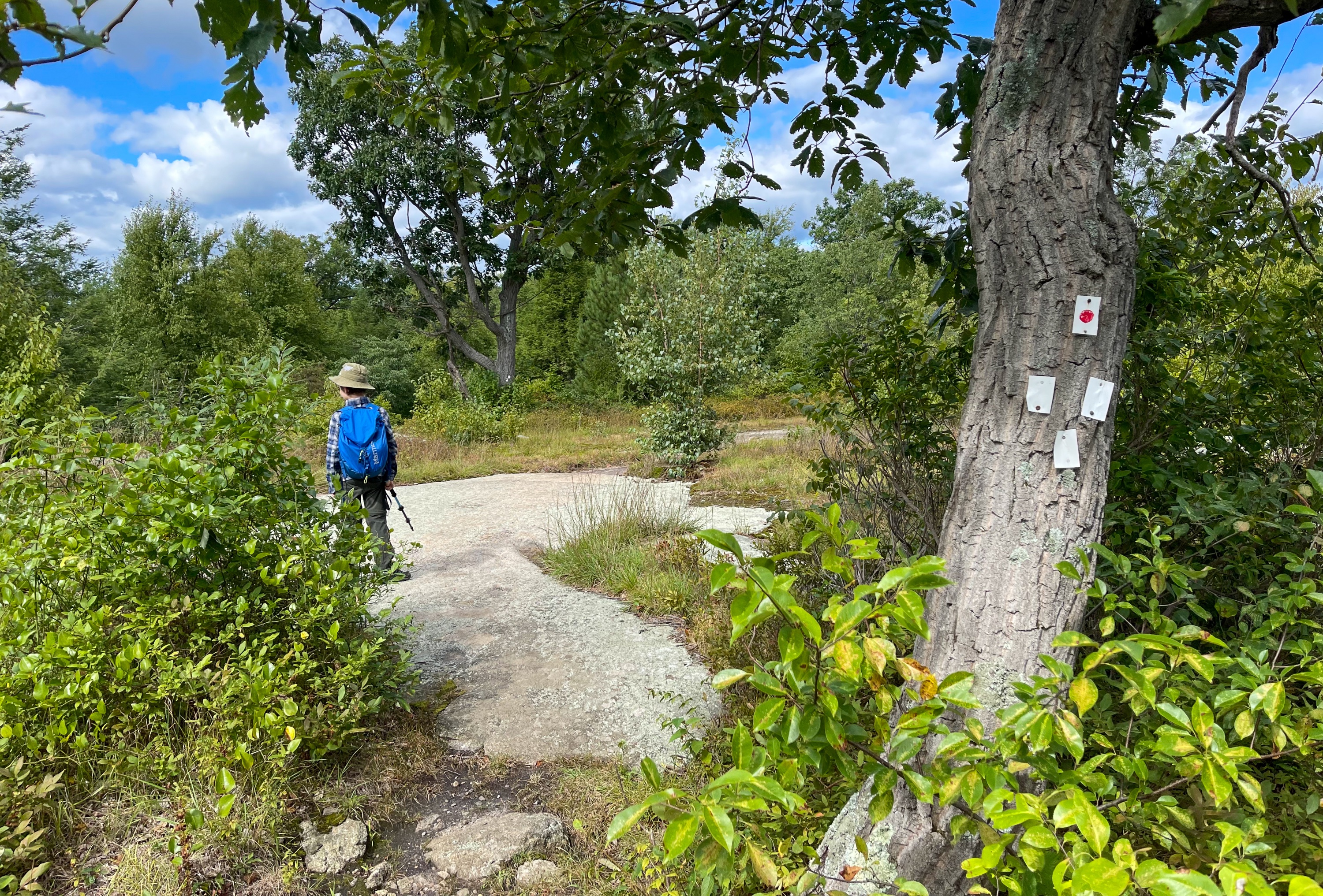
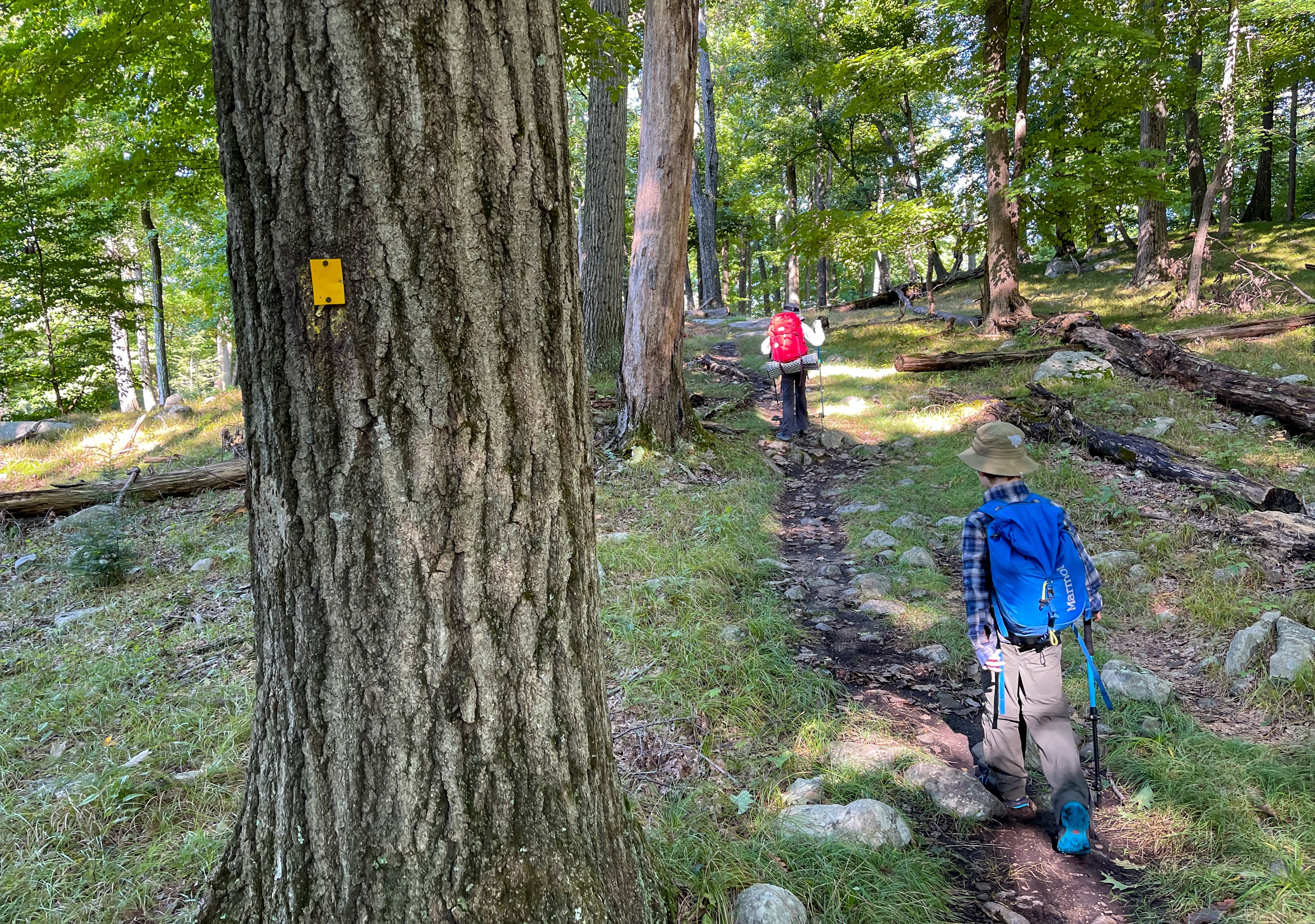
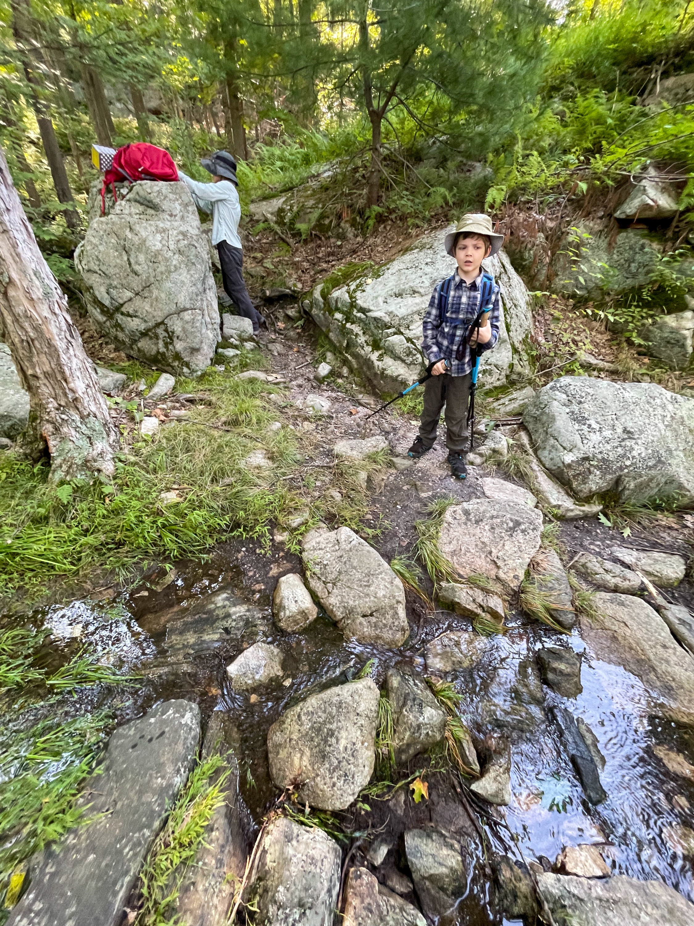
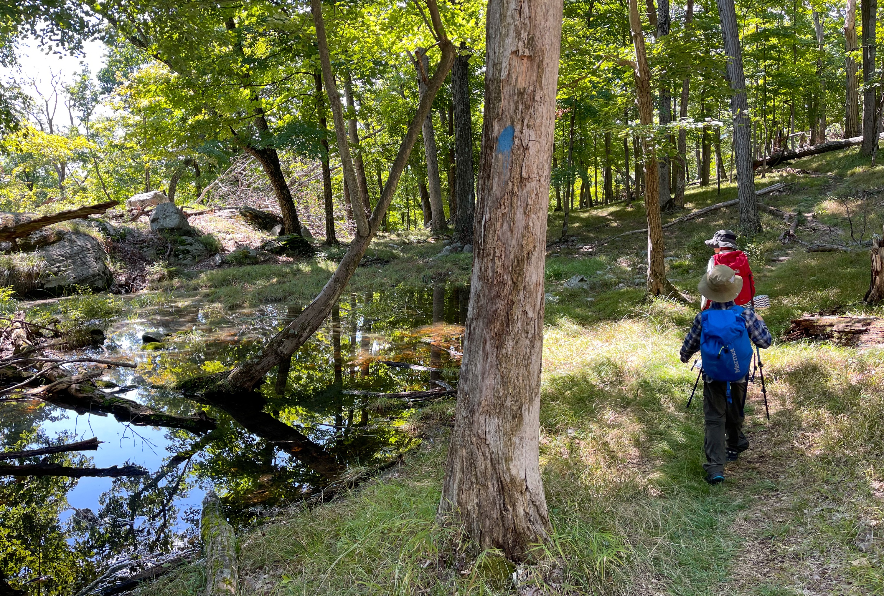
Starting from the parking area, look for the red circle on white blazes of the Ramapo-Dunderberg (R-D) trail on the north side of the road and enter the woods. The trail quickly crosses a small stream on rocks. Over the next quarter mile, the trail climbs steeply for several hundred feet.
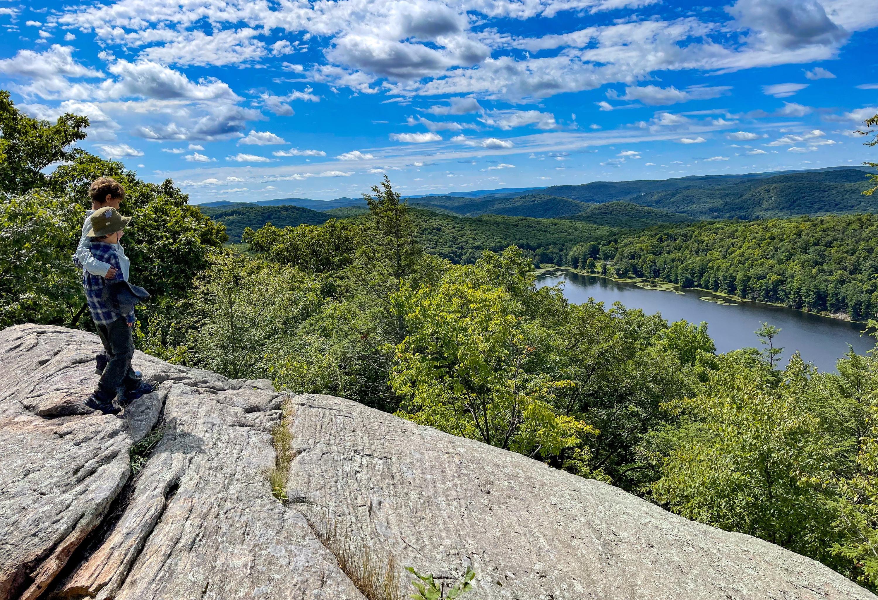
About a half mile from the trailhead, you’ll reach the junction with the end of the white-blazed Nurian trail and a rocky clearing with a partial viewpoint.
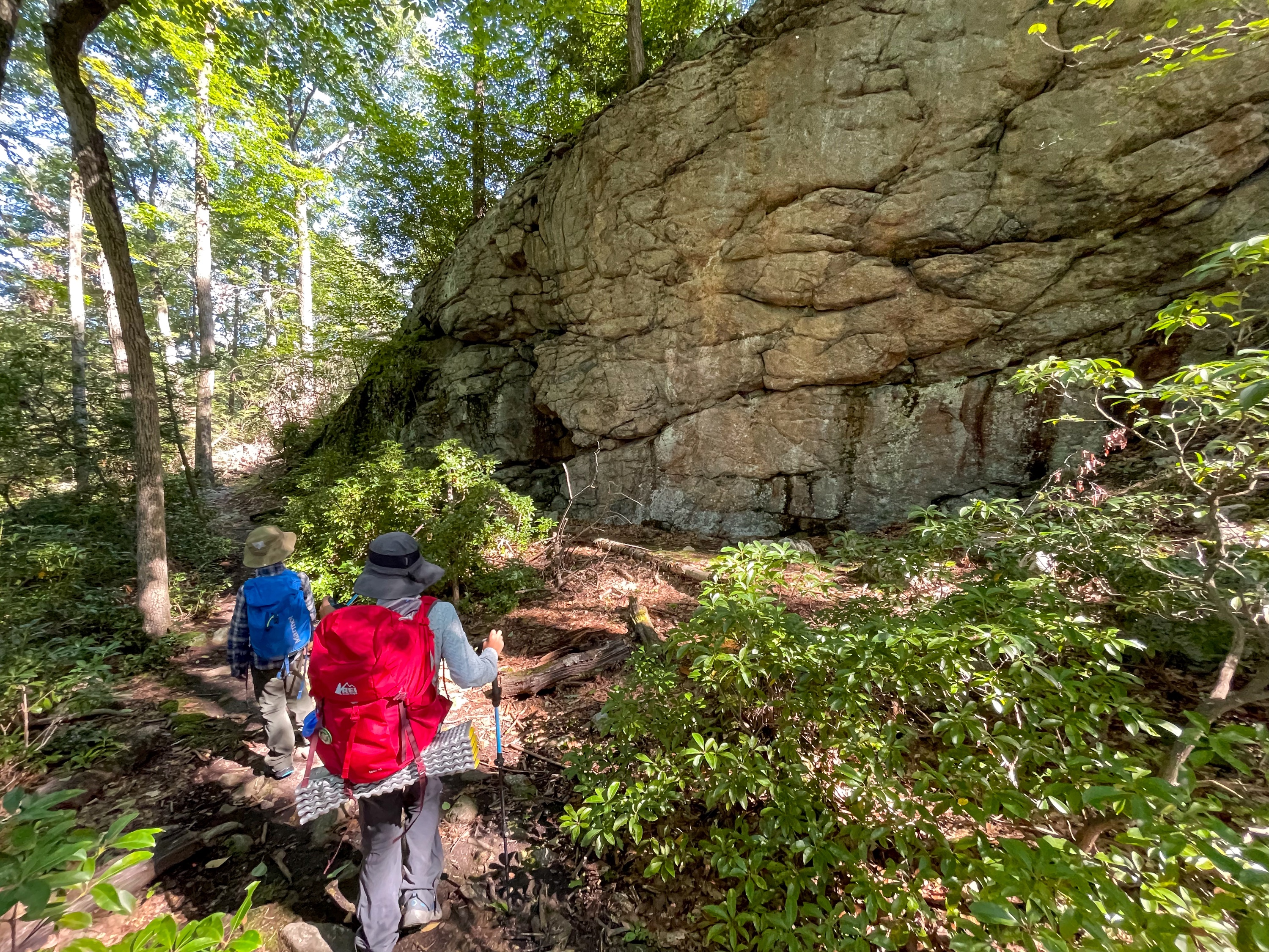
Continue to follow the R-D trail for about another third of a mile to reach another viewpoint on Black Rock Mountain.
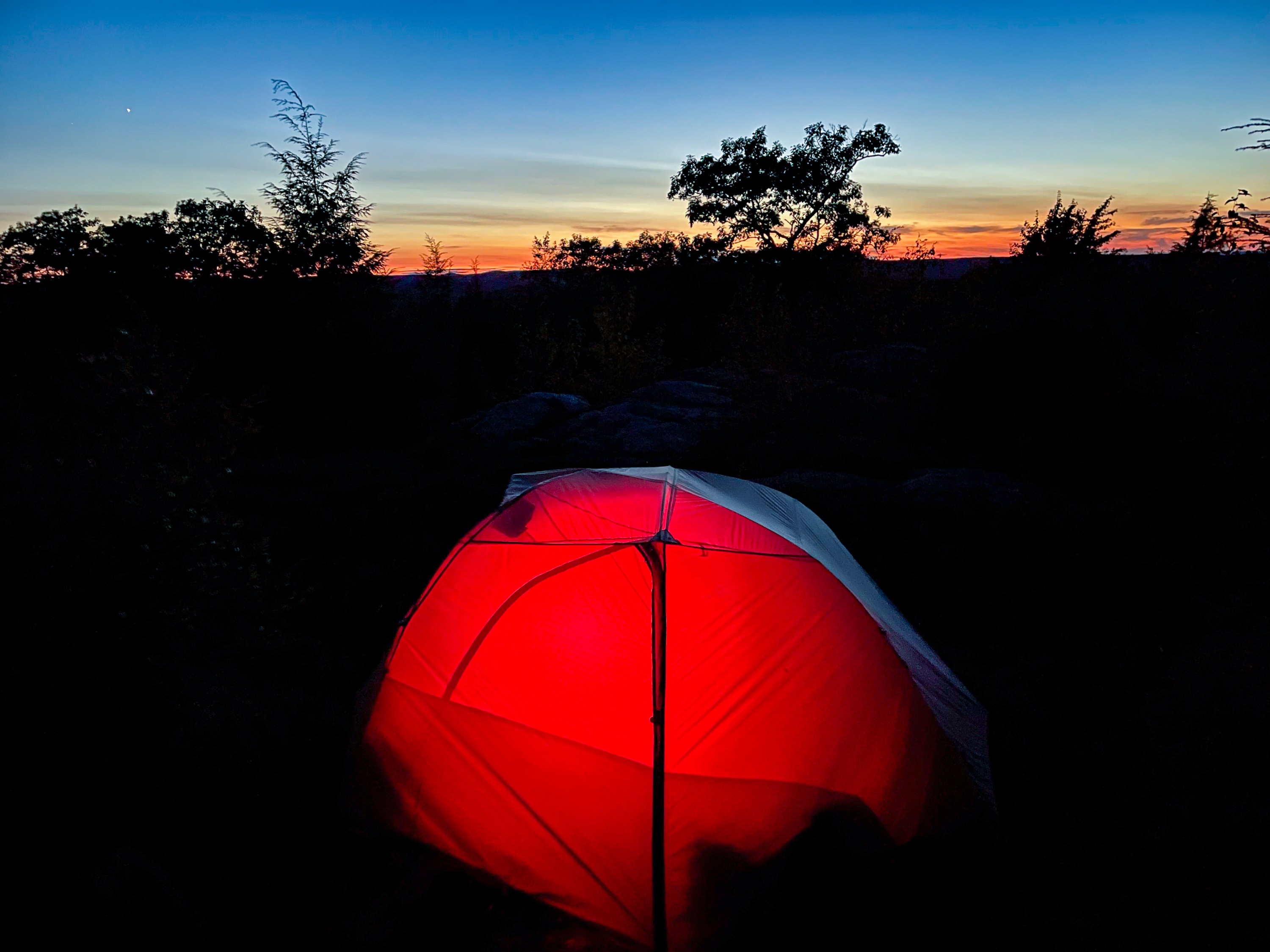
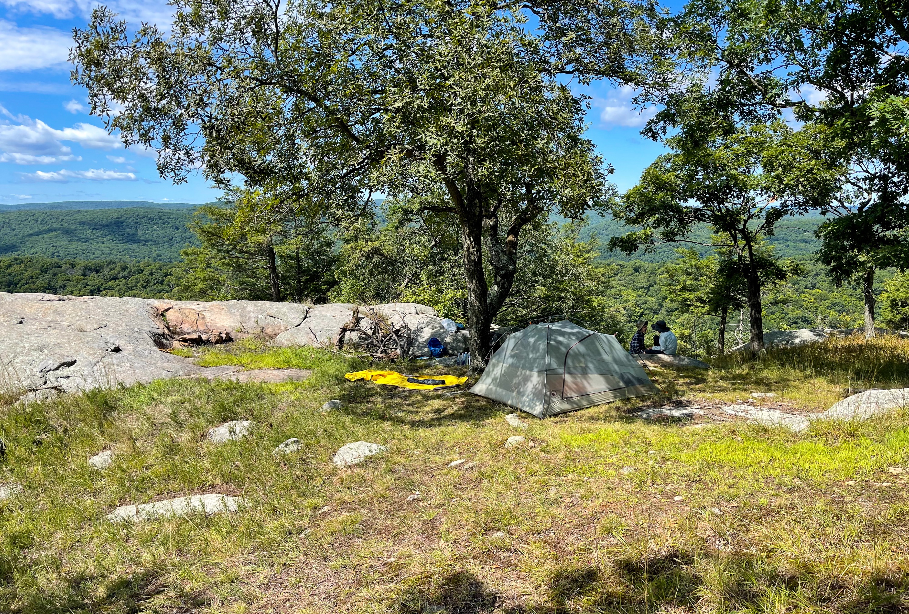
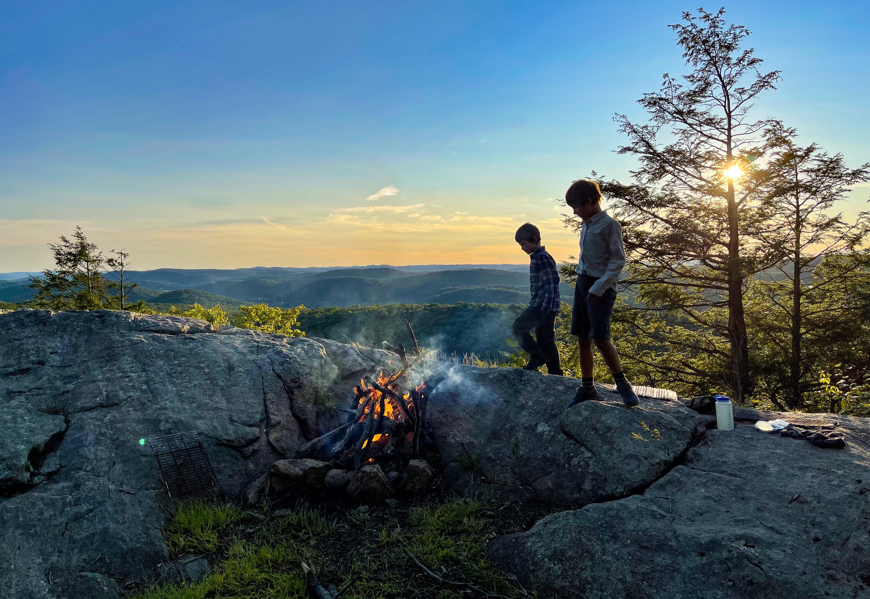
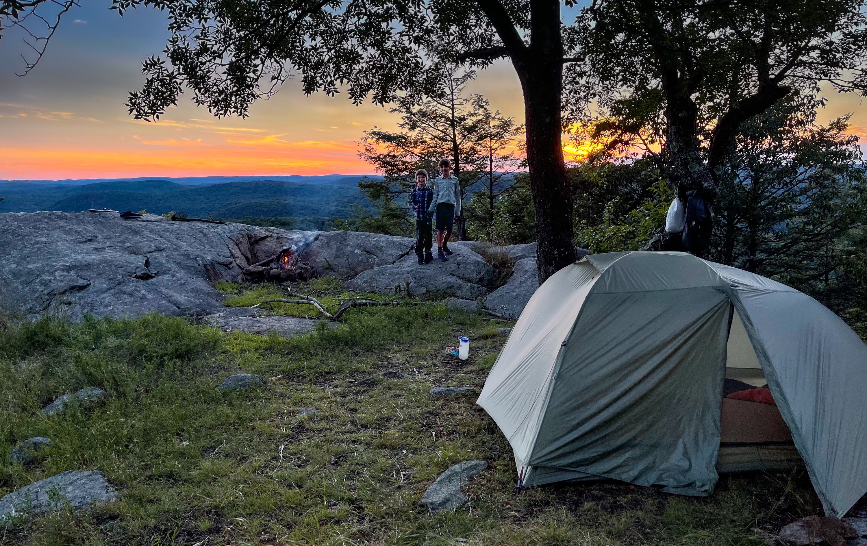
Black Rock Tent Site
To the left (west) of the trail is an unofficial but pretty well-established and used tent site (Note that in Harriman State Park, camping is only officially allowed at or within 300 feet of shelters).


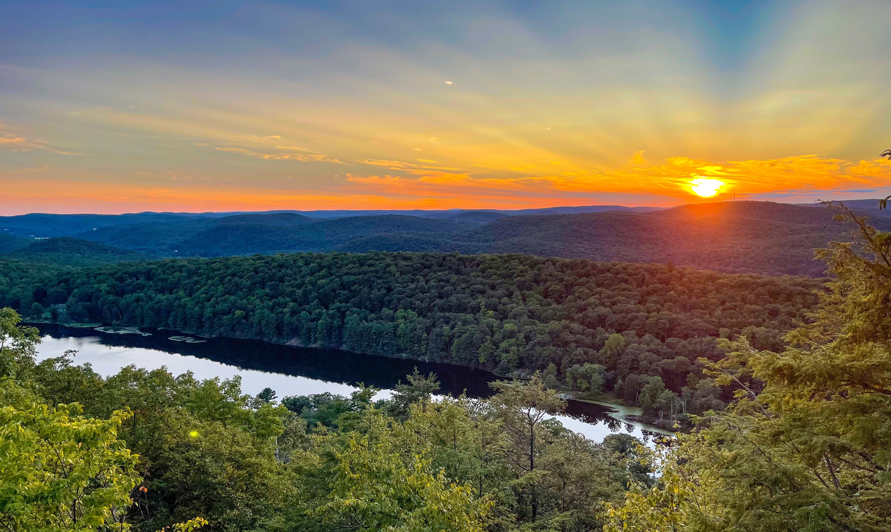
The rock outcrop along the trail is a great spot to watch the sunset.

Day 2
Continue north along the R-D trail for another 0.7 miles.
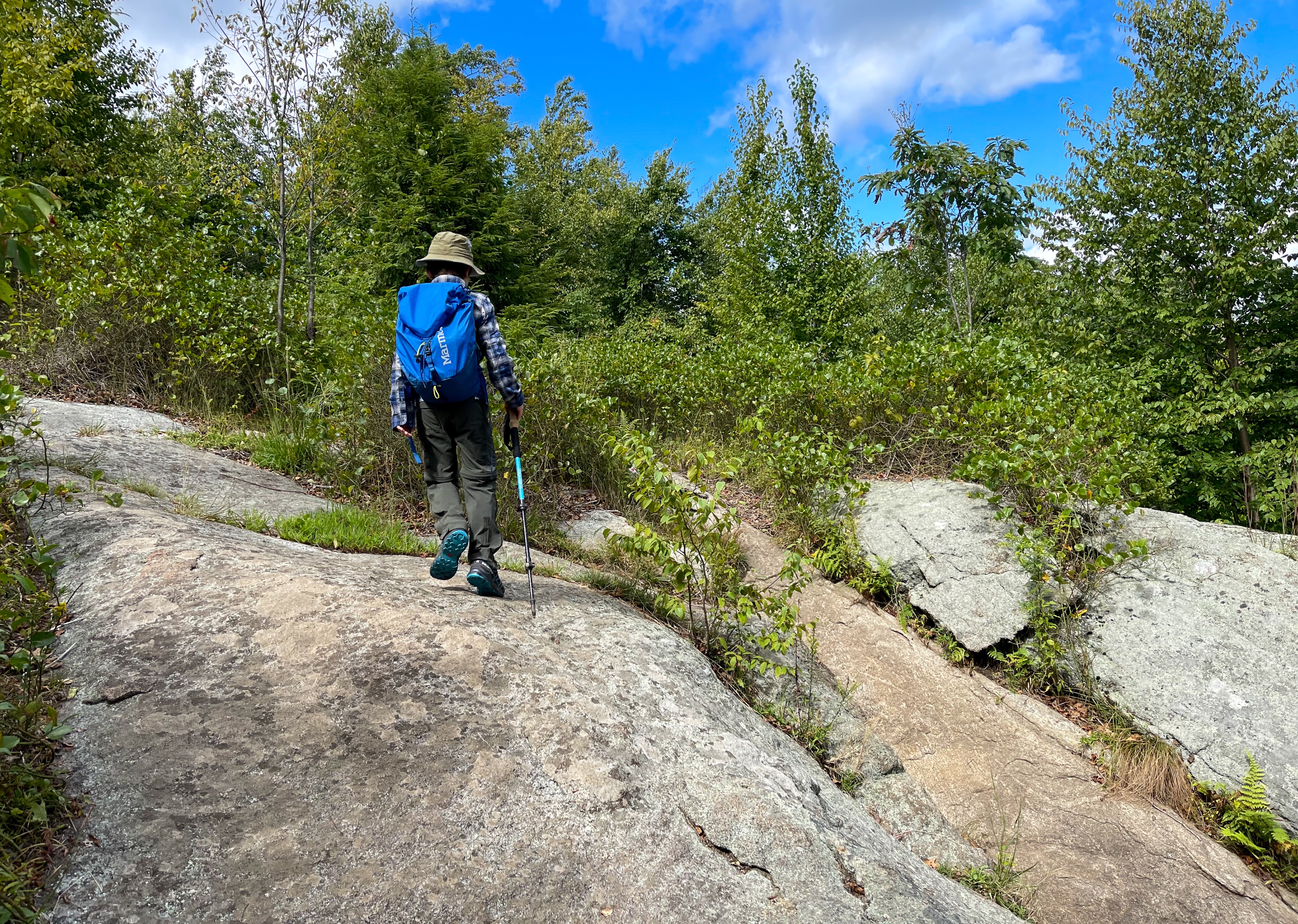
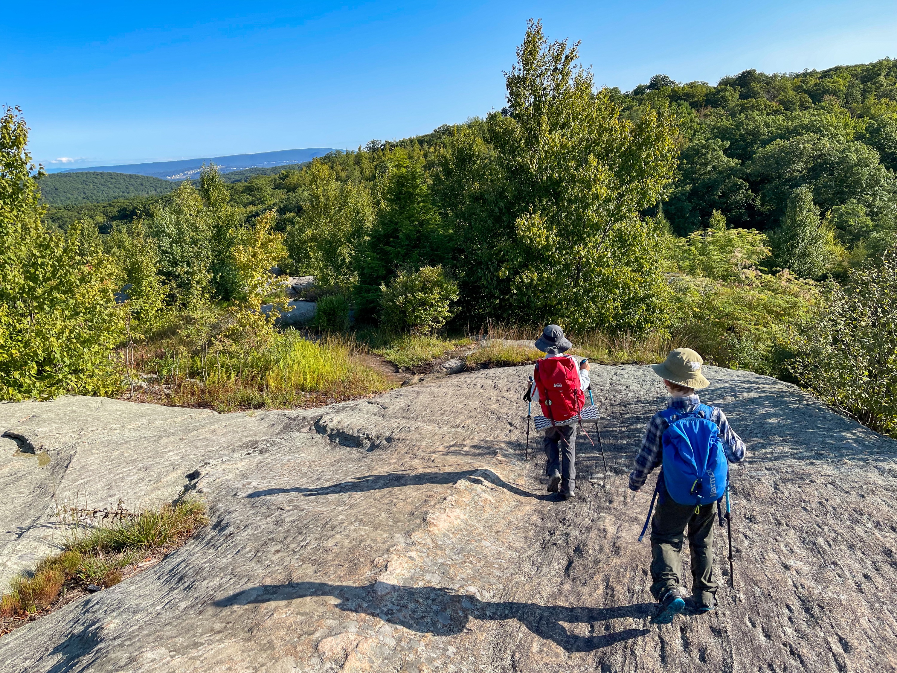
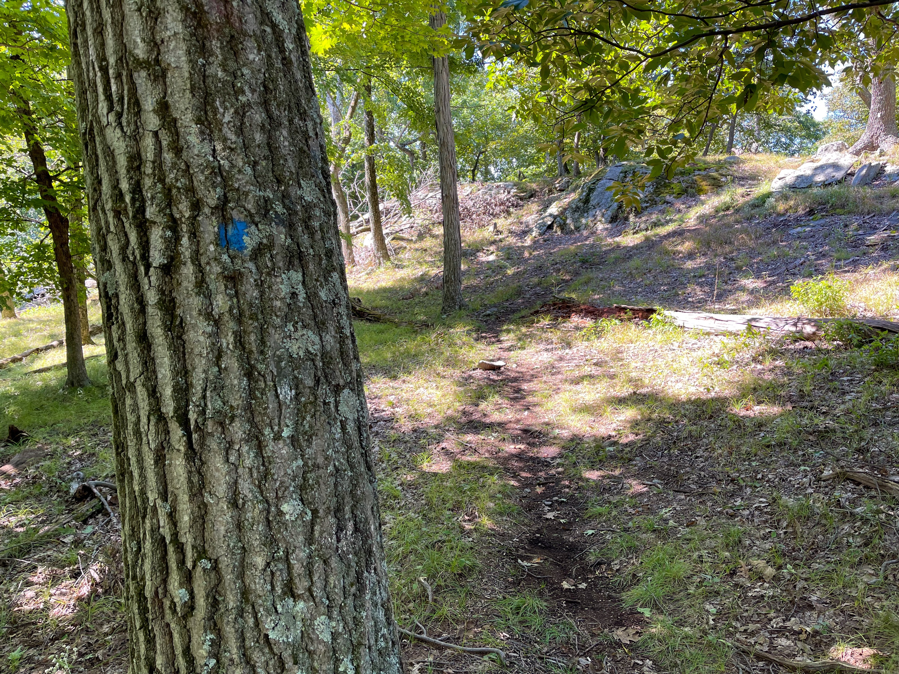
Bald Rocks
This is a really nice section of trail that follows exposed granite ledges dotted with glacial erratics. This area – called Bald Rocks – is also the highest elevation in Harriman State Park.


A tree marks the junction with the yellow-blazed Dunning Trail. (The trail was blazed by Dr. J. M. Dunning, a member of the New York chapter of the Appalachian Mountain Club.)

Make a left and follow the yellow blazes for 0.35 miles through forest.
You’ll next reach a junction with the White Bar Trail.

Turn left at the junction. The yellow-blazed Dunning Trail is now co-blazed with the White Bar Trail, which you’ll follow for a quarter mile. The trail passes and crosses some small streams.


At the next junction, the yellow-blazed Trail turns right while the White Bar Trail continues straight. Turn right to follow the yellow blazes.
Follow the yellow blazes
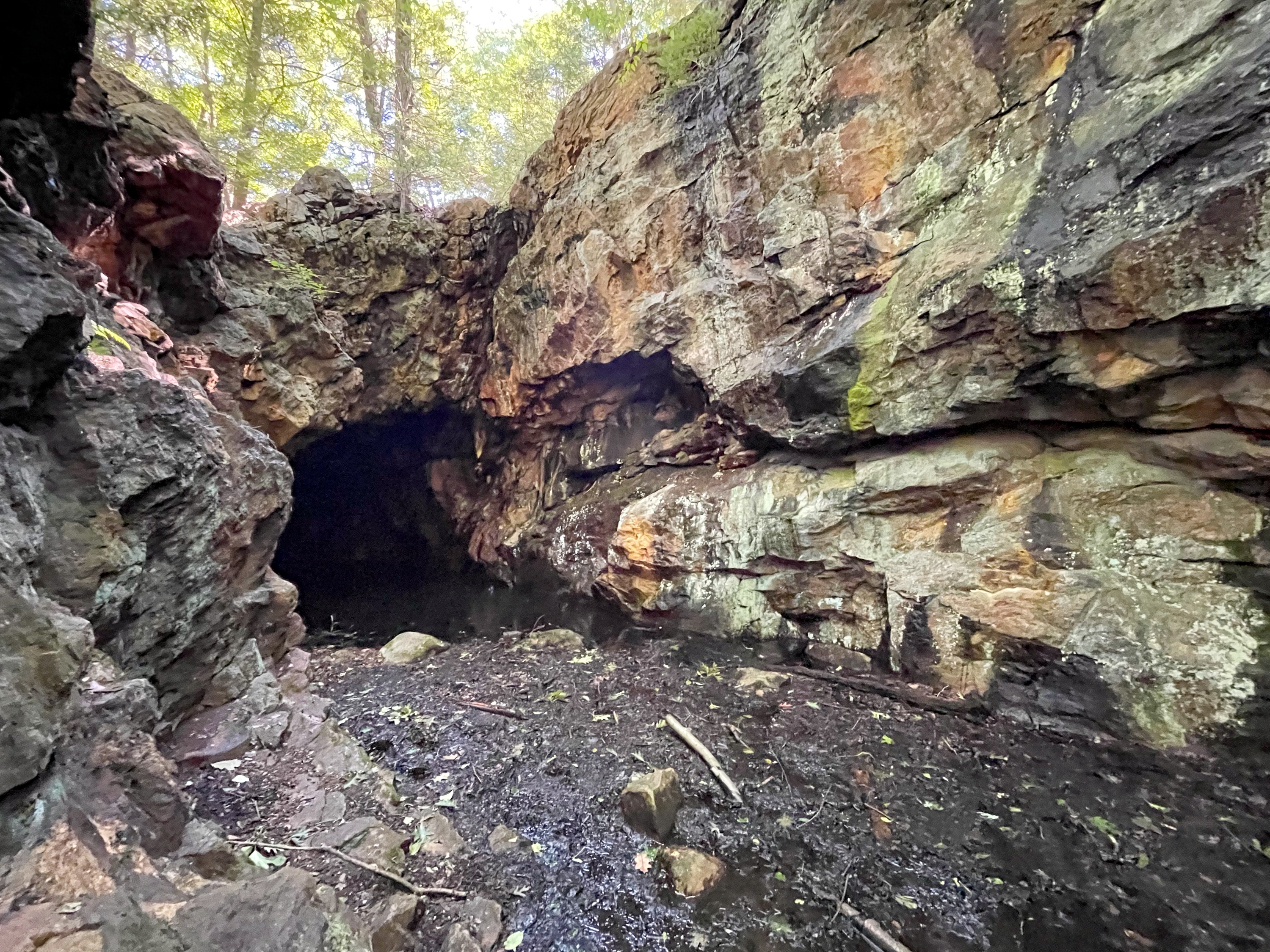
In about 0.7 miles, you’ll reach Boston Mine, just off to the right of the trail.
Boston Mine
The entrance to the mine is muddy and you’ll need to balance on rocks and logs. The mine is an L-shaped hole carved into the side of the hill with a flooded shaft in the ground that was last mined around 1880. Ore from the mines was sent to the Clove Furnace in Arden.

Just beyond the mine, the trail follows a woods road – the unblazed Island Pond Road. Stay on the woods road as it breaks away from the yellow-blazed Dunning Trail, briefly coincides with and then leaves the white-blazed Nurian Trail.

You’ll follow Island Pond Road for about a quarter mile. Look closely on your right (west) for another unmarked trail – the trail the Stahahe High Peak. It is near a large boulder on the east side of the trail but is not very obvious otherwise. It is also at the point where the vegetation changes from evergreens to deciduous trees.
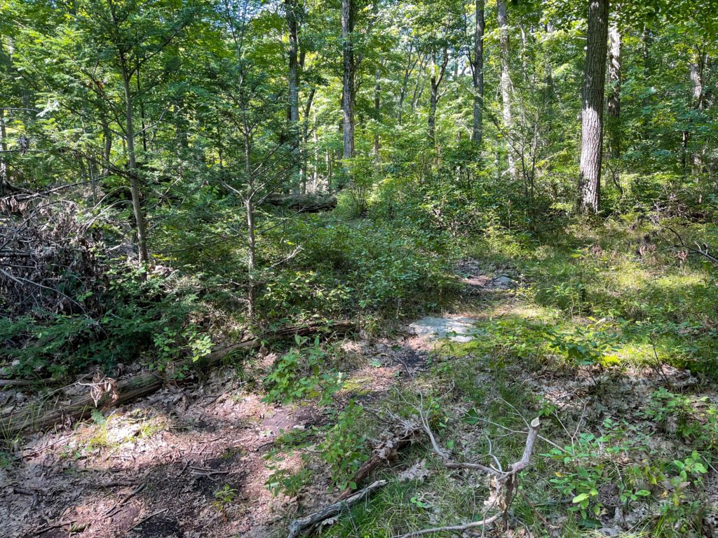
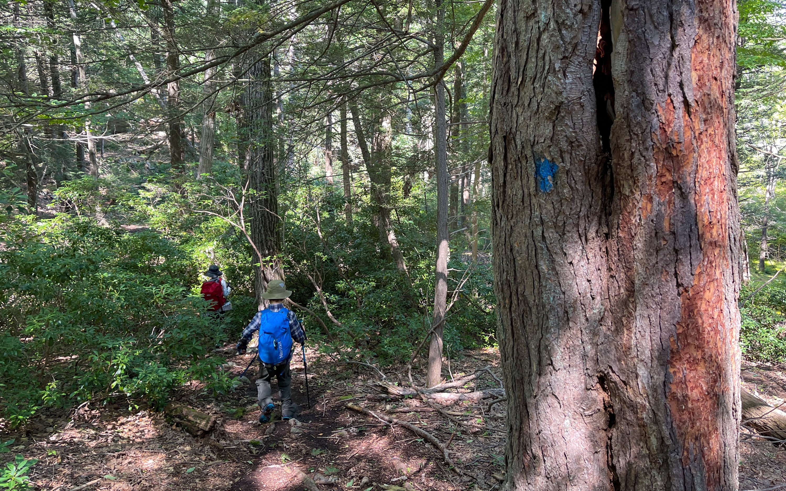
The trail is pretty easy to follow as it heads uphill to Stahahe High Peak. There are a few faded blue blazes and you’ll pass some small vernal ponds along the way.

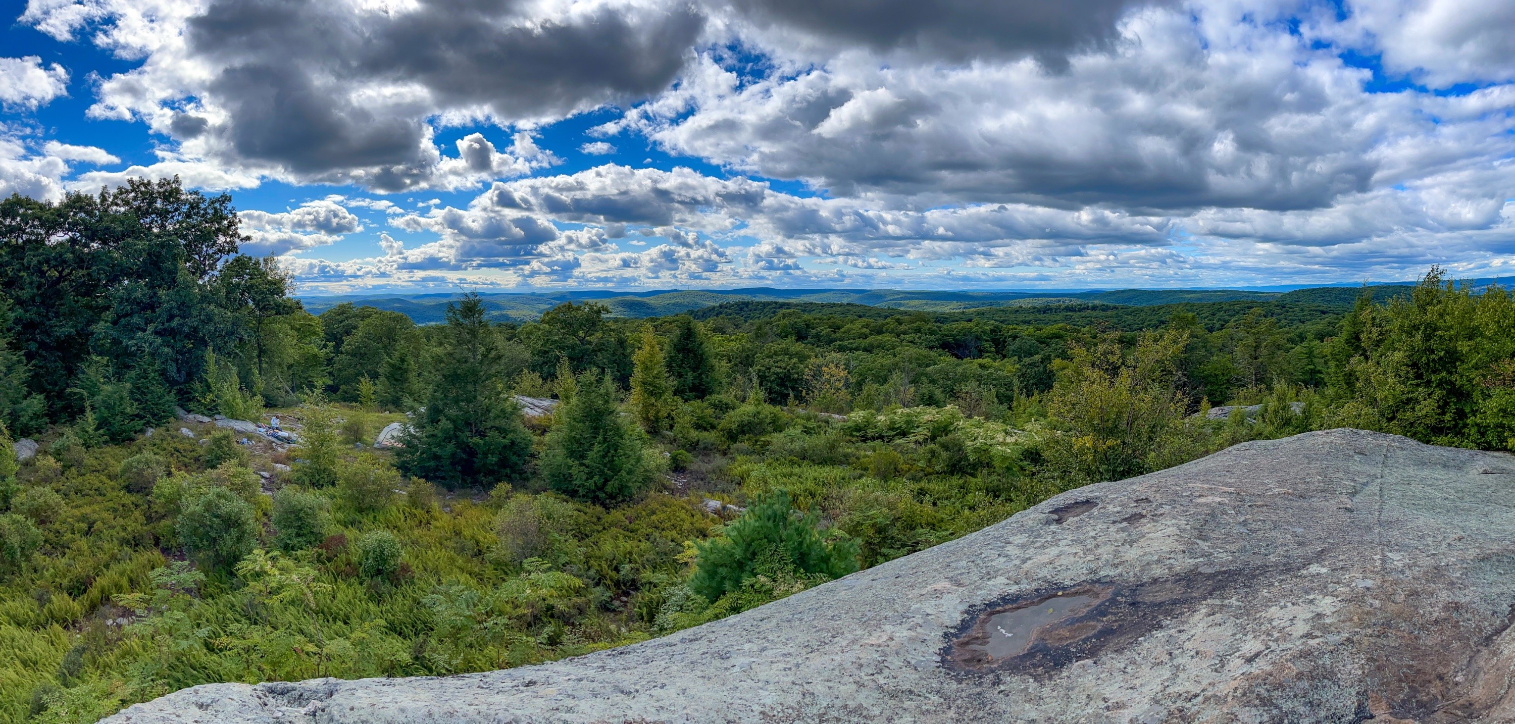
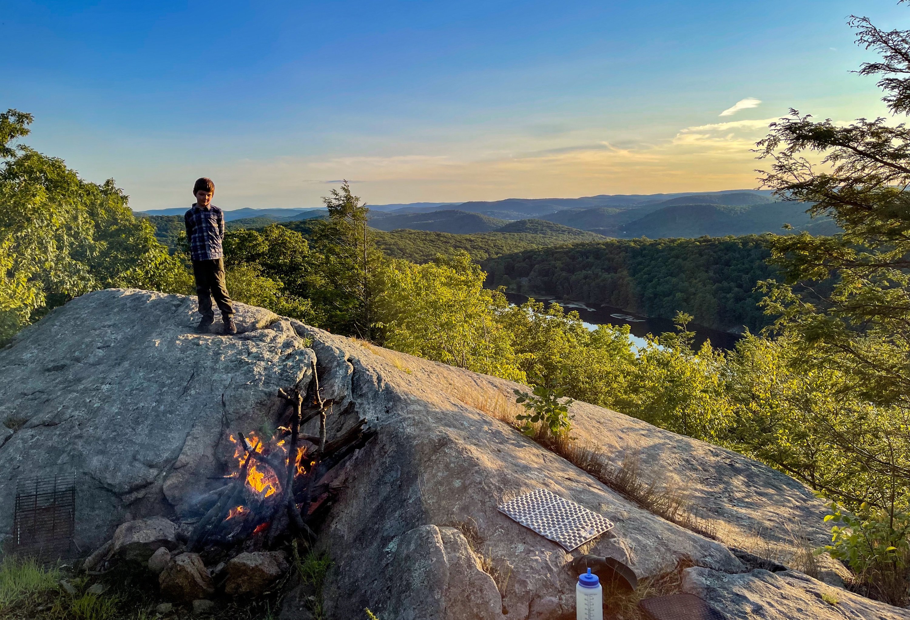
Stahahe High Peak
After less than half a mile, you’ll reach a grassy clearing near the summit.

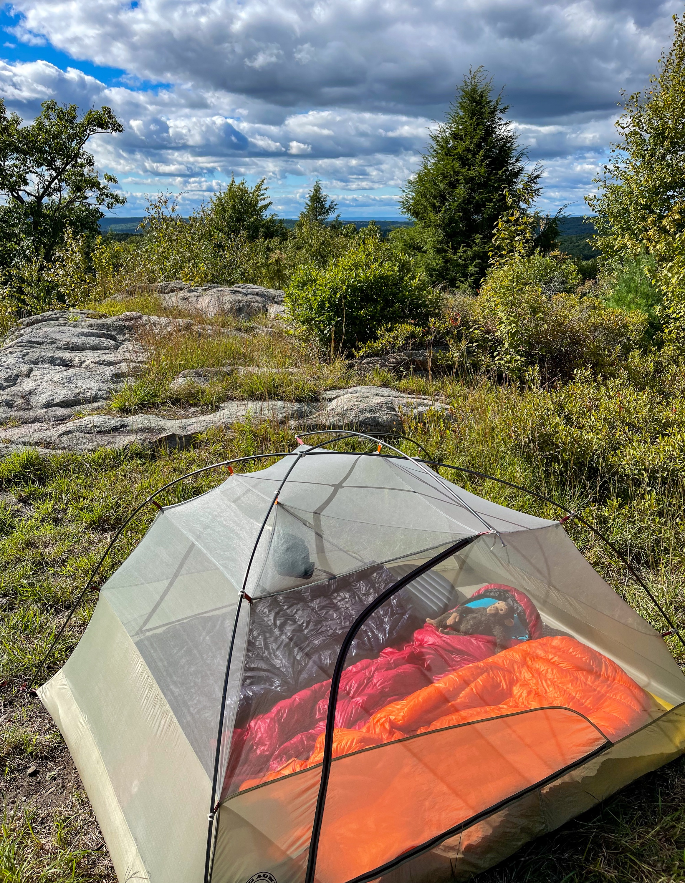
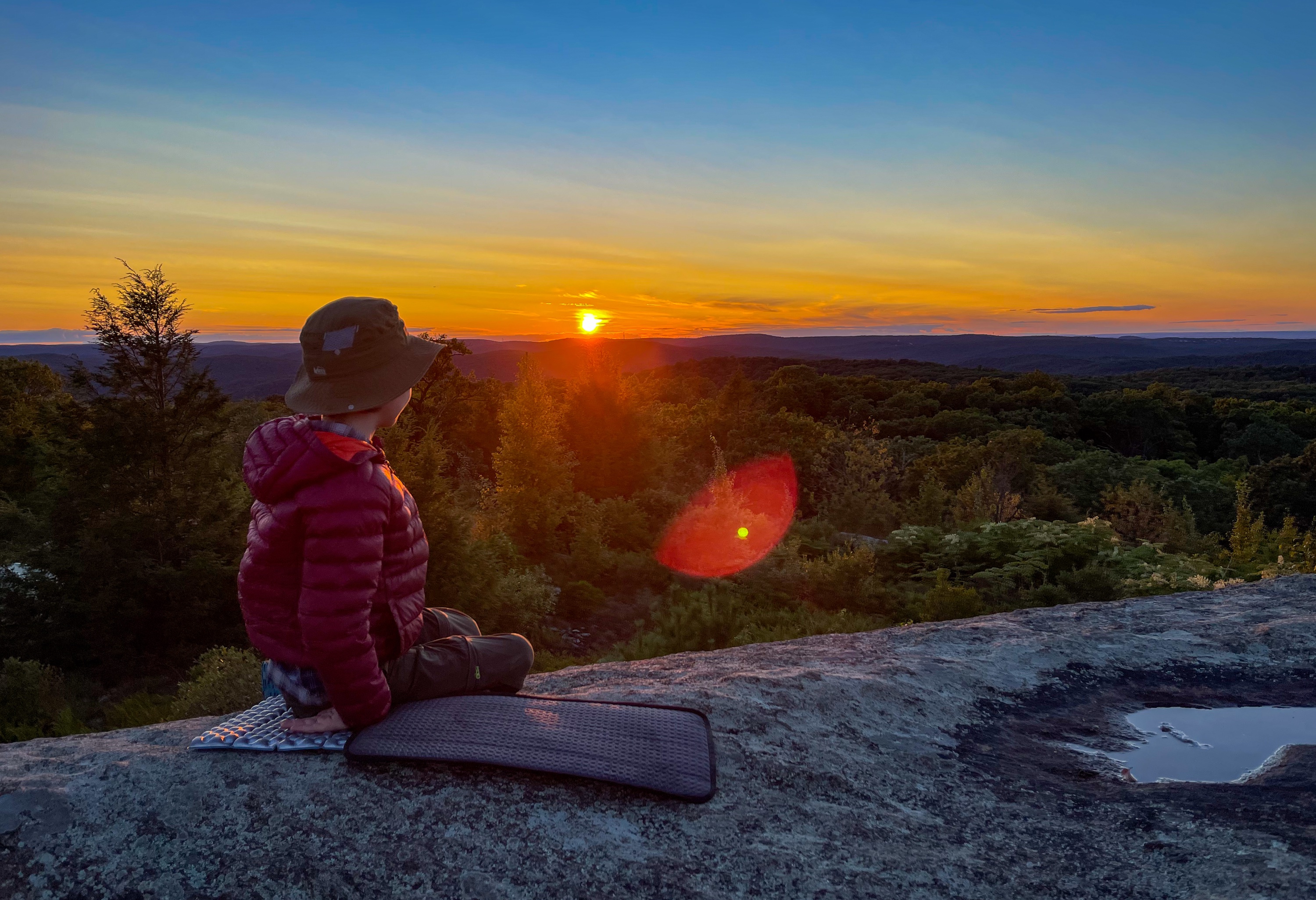
You could camp here, but there is a much better site if you continue a bit further – to the left up ahead the trail continues downhill a short distance. You’ll then reach another flat clearing and viewpoints over Lake Stahahe, Green Pond Mountain, and Sterling Forest.
This area offers nice views over Lake Stahahe and the mountains to the west.
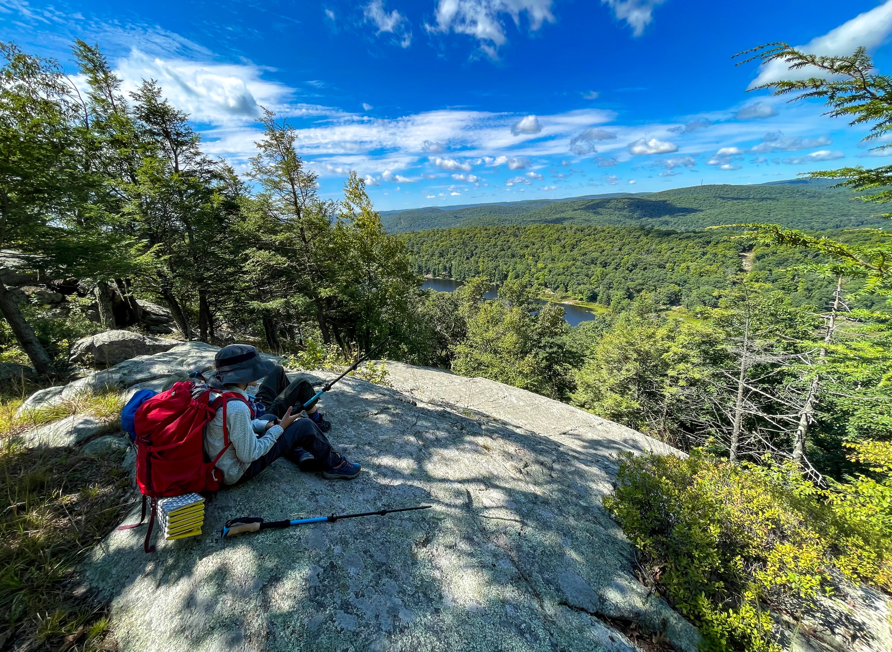
The west-facing views from here make this a great spot to watch the sunset.

Day 3
To finish the hike, retrace your steps back and make a right to follow Island Pond Road south and downhill. In about a half mile, you’ll reach a junction with the White Bar Trail. Turn left to follow the white bar blazes. In a quarter mile, the trail reaches a junction with the white-blazed Nurian Trail (these blazes are vertical). Turn right to head downhill and follow the vertical white blazes. You’ll soon cross a stream and then begin a steep climb. At the end of the climb you’ll reach the junction with the R-D trail which we passed at the start of the hike. Turn right to follow the red-circle-on-white-blazed R-D trail downhill a half mile back to the parking area.


