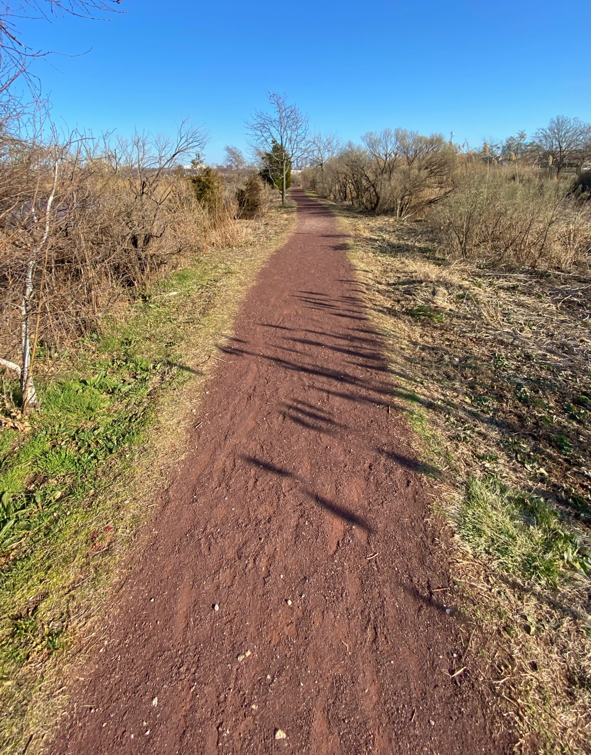
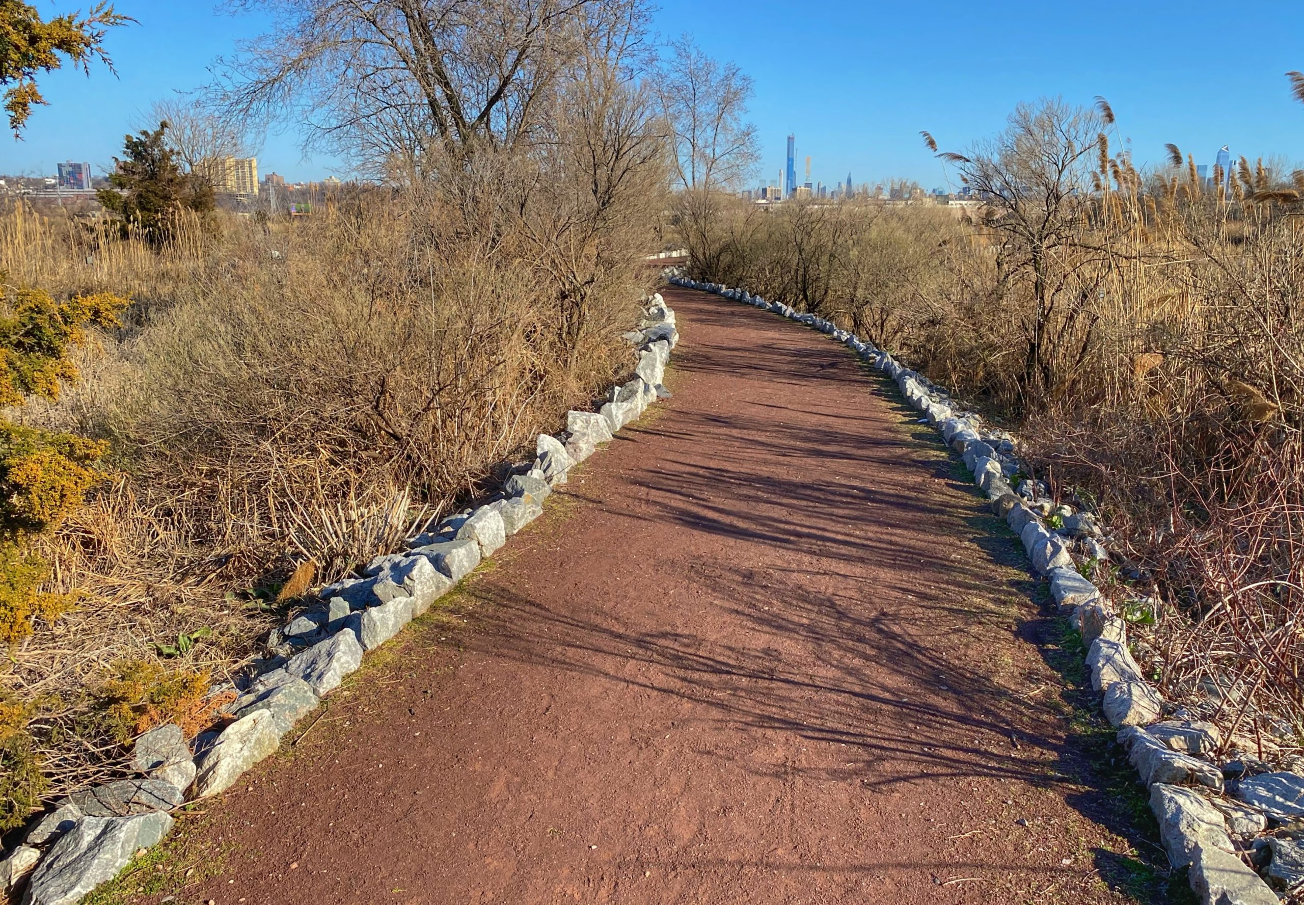
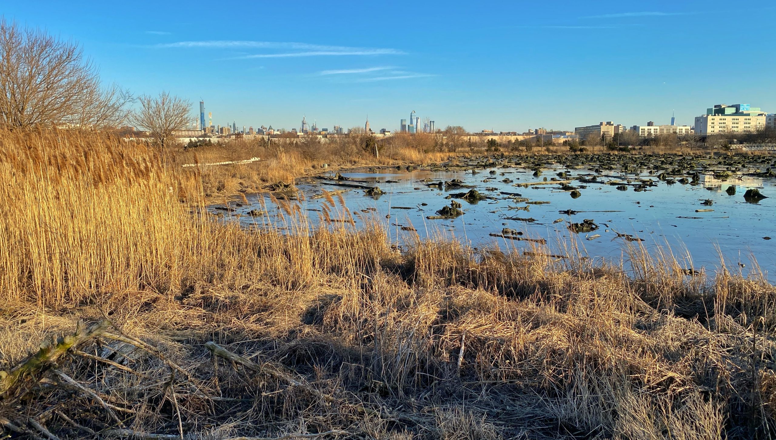
Overview: Mill Creek Marsh Trail is an oasis of nature in a highly urbanized area providing important habitat for birds, fish, crabs, and other animals. The flat trail through a tidal marsh is an easy walk and is very kid-friendly.
If you’re looking for other hikes to do with kids, check out our Top Kid-Friendly Hikes in New Jersey.
Hike Length: 1.3 mile loop
Elevation gain: Almost none
Location: Secaucus, NJ
About Mill Creek Marsh (from the New Jersey Sports and Exposition Authority): Once the proposed site of a townhouse development, Mill Creek Marsh was preserved and restored by the agency in 1998. The invasive Phragmites reeds that had choked the marsh were replaced with native plant species to attract a diversity of aquatic life and birds and tidal flows were reestablished in the wetlands. The one-mile Mill Creek Marsh Trail provides breathtaking views of the wetlands and the New York City skyline which frame the 209-acre natural area. The most notable characteristic of the marsh is the dozens of ancient white cedar stumps that dot the waterway. They are the last remnants of a primeval forest that once covered a third of the area for hundreds of years. Today the rot resistant stumps serve as perches for egrets and shorebirds, making the marsh an especially popular destination for bird watchers.
The tide will affect what you see in the Mill Creek Marsh. At high tide the shoreline is covered by six feet of water. At low tide the water line falls below the mudflats, revealing the edges of the channel. The tidal flow affects the visibility of the channels. When the tide goes out, the channels are more visible. If the tide is coming in, the channels will be difficult to see. At mid to high tide, additional areas are available for exploration.
Parking: Bob’s Discount Furniture. No, really. Park next to Bob’s Discount Furniture in the Mill Creek Mall off of Route 3. Google maps link to the trailhead.
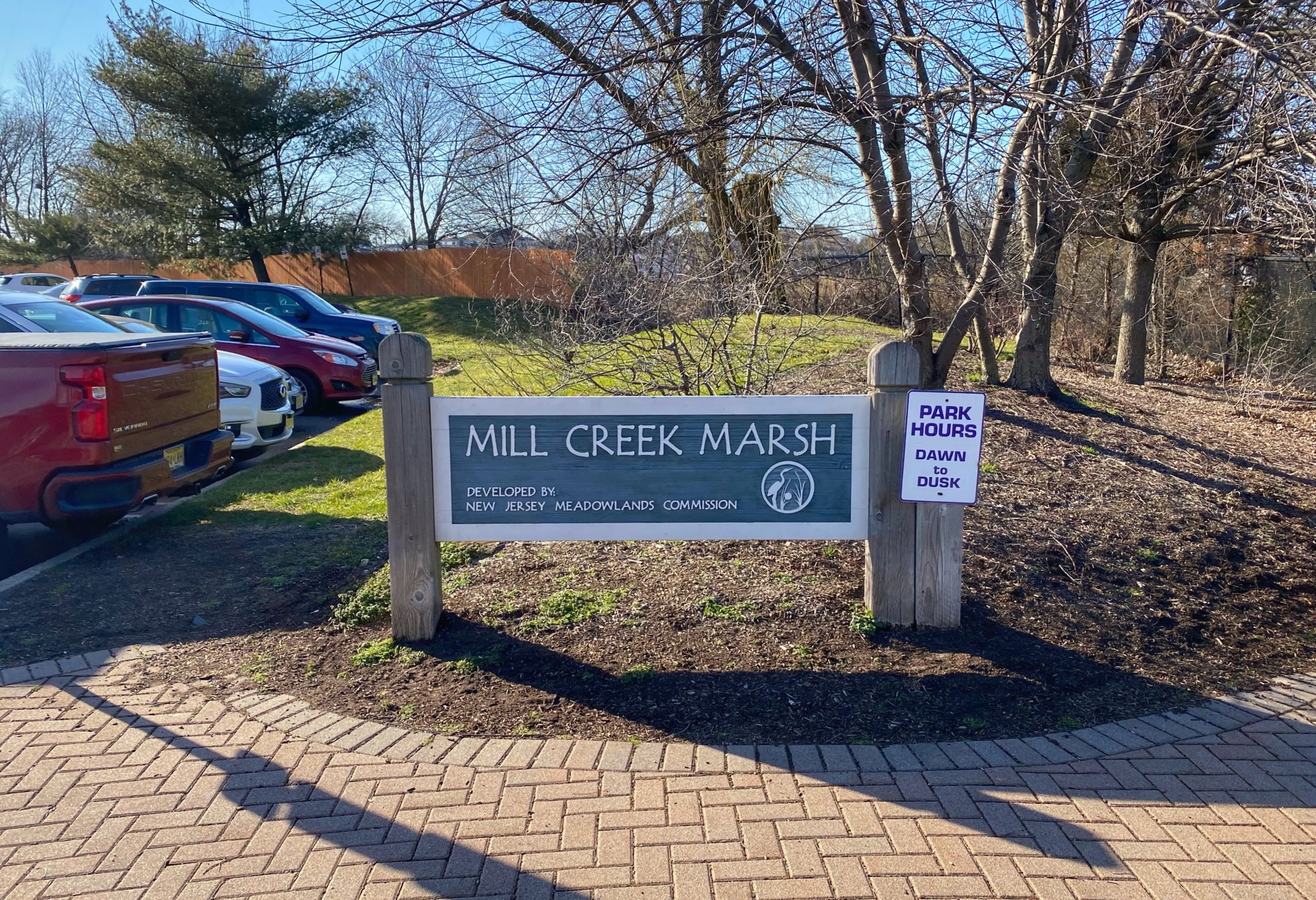
Map:
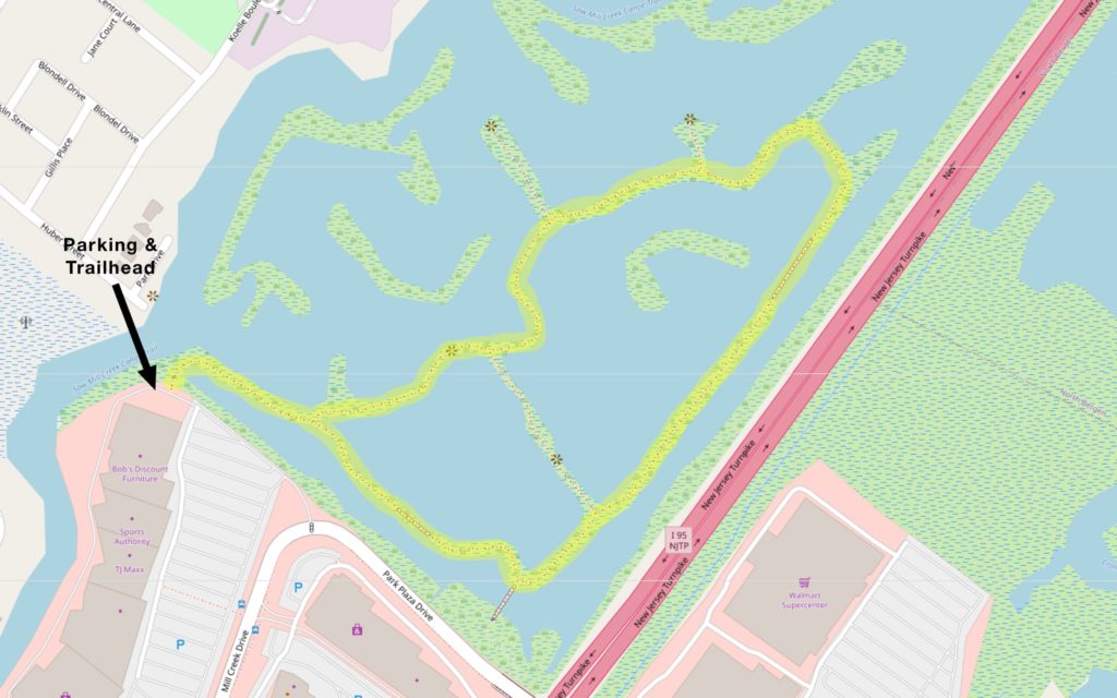
Trail Description: (from NY-NJ Trail Conference)
Proceed through the gate to a signpost on the left, with a map of the area (the trail you will follow is marked in green on the map). Continue ahead on a gravel footpath lined with birch trees.
At the first junction you reach (with a sign for “Tidal Bays”), bear right (the left fork will be your return route). As you proceed ahead, you’ll notice the New York skyline in the background.
To the left, the marsh is studded with stumps of ancient Atlantic white cedar trees (best seen at low tide), which thrived in the area when it was a freshwater swamp. The durable cedar wood was used by the early settlers for many purposes (including the construction of the original Paterson Plank Road), and by the early 19th century, few remained. All remaining cedars were destroyed by the completion in 1923 of the Oradell Reservoir dam on the Hackensack River, which allowed the influx of saltwater into the swamp. The stumps were buried for many years and were uncovered about ten years ago, when the site was remediated.
Continue ahead on the gravel footpath, crossing a footbridge over the marsh. You’ll soon reach another, wider bridge on the right, but proceed ahead on the gravel path, which curves left and begins to head north, parallel to the eastern spur of the New Jersey Turnpike. When another path branches off to the left, continue ahead on the main path, parallel to the Turnpike.
After crossing another footbridge, the gravel path again curves left and heads first west and then south, circling the marsh. When a dirt path goes off to the right, continue ahead on the gravel path. At the next Y-intersection, bear left (the path to the right leads to a dead end in 500 feet). Then, at the following intersection (with signs for “Marsh Marvels” and “What’s for Dinner?”), bear right. Soon, you’ll come to an intersection where you’ll see the “Tidal Bays” sign. Turn right and retrace your steps back to the parking area where the hike began.
