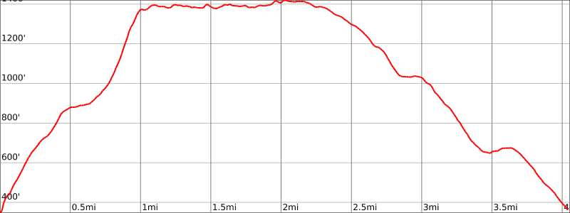
Overview: The Garvey Springs trail is the shortest (1.2 miles), but steepest, route to Sunfish Pond. Combine it with the Appalachian Trail and return via the Douglas Trail for a 4.4 mile loop. For an easier ascent (but steeper descent), reverse the loop direction.
Hike Length: 4.4 miles
Elevation Gain: +1,200 feet
Location: Worthington State Forest.
Nearby hikes: Mt. Tammany and Sunfish Pond loop
Parking: Park at the Douglas parking lot.
Maps:
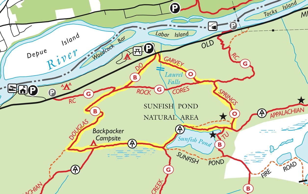
- Worthington State Forest (NY-NJ Trail Conference map)
- Worthington State Forest (NJ Division of Parks & Forestry map)
- Southern Kittatinny Trails, Trail Map #120, (NY-NJ Trail Conference print map)
Trail Description:
From the Douglas Parking Lot, cross the street and head to your left (north) to find the Garvey Springs Trailhead. The trail is the shortest route to Sunfish Pond, but is steep, rising more than 1,000 feet over about a mile.
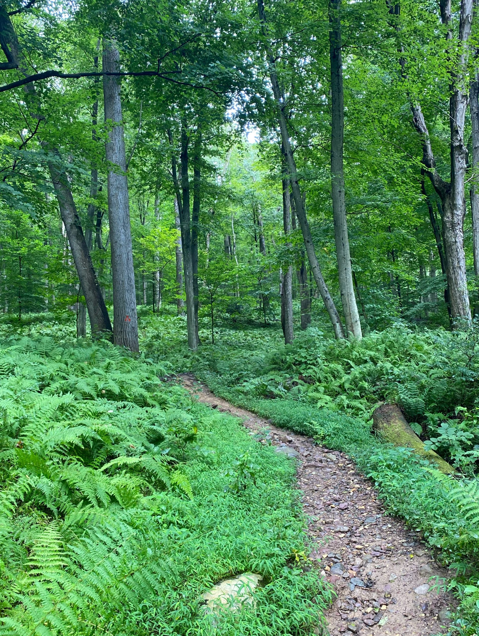
A short distance in, you’ll see/hear Laurel Falls just off the trail to your right. The source of this stream is the outflow through the natural rock weir at Sunfish Pond.

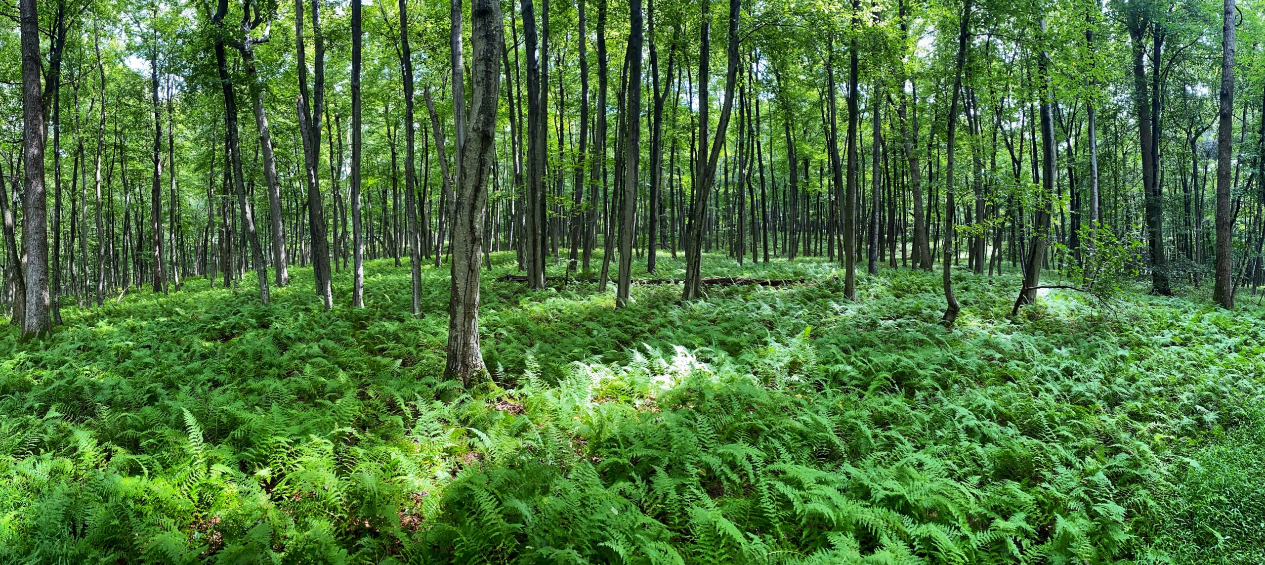
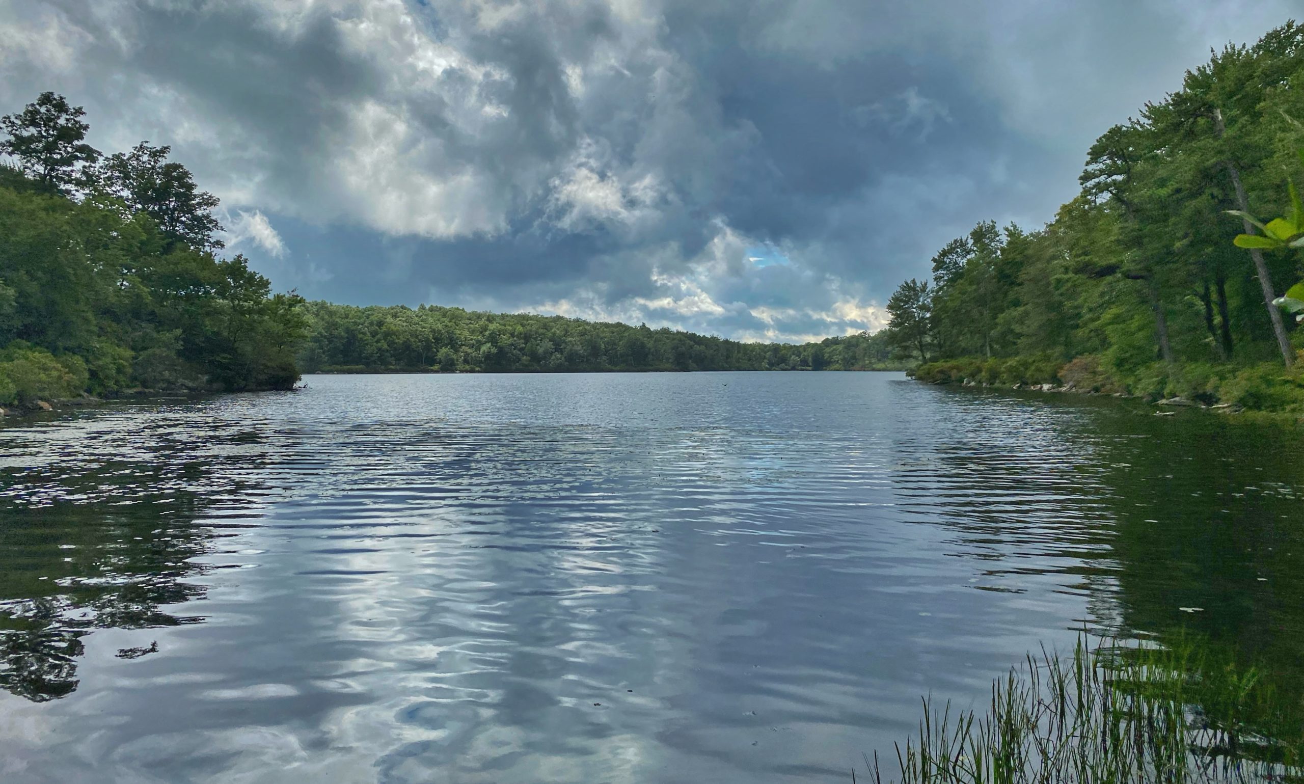
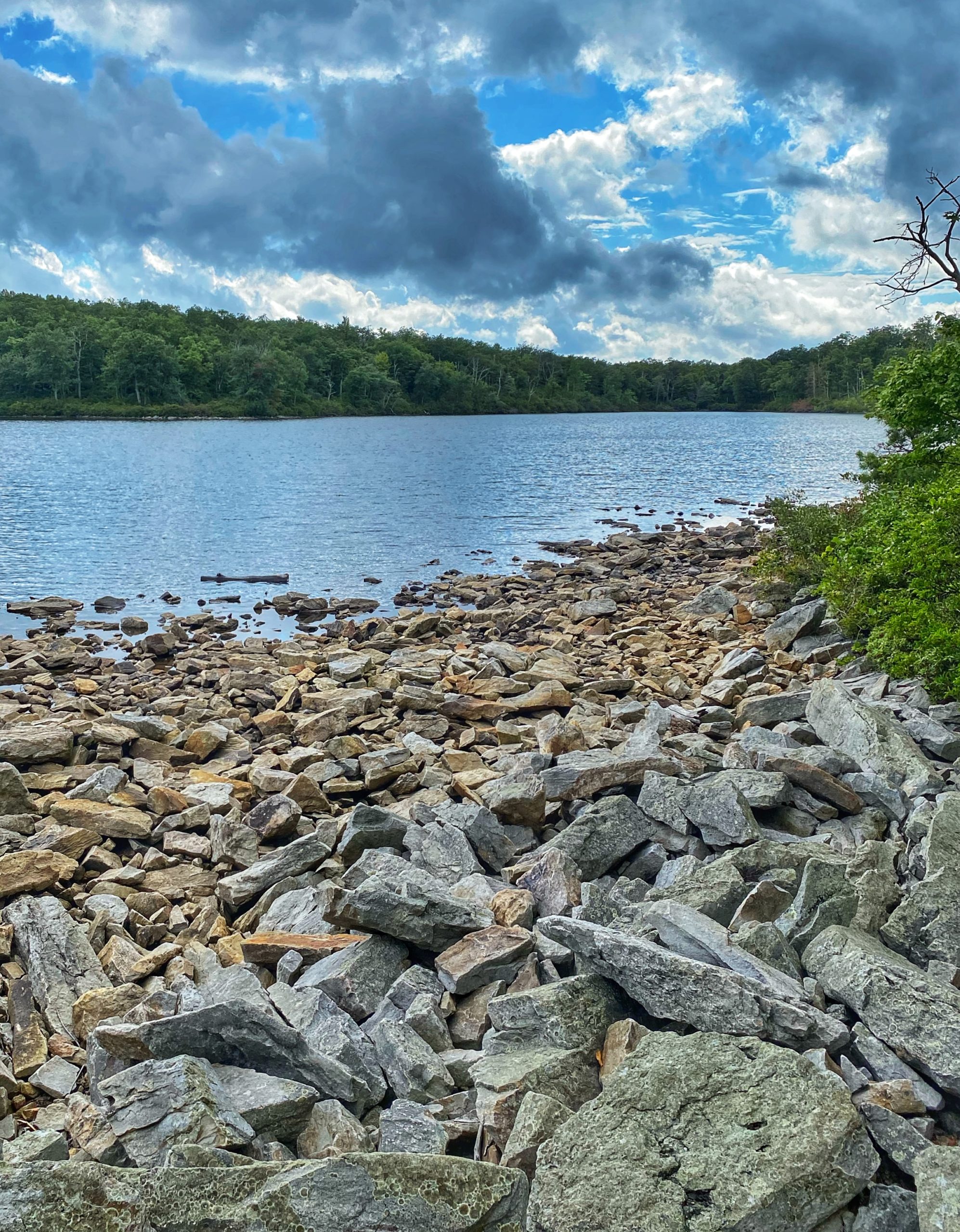
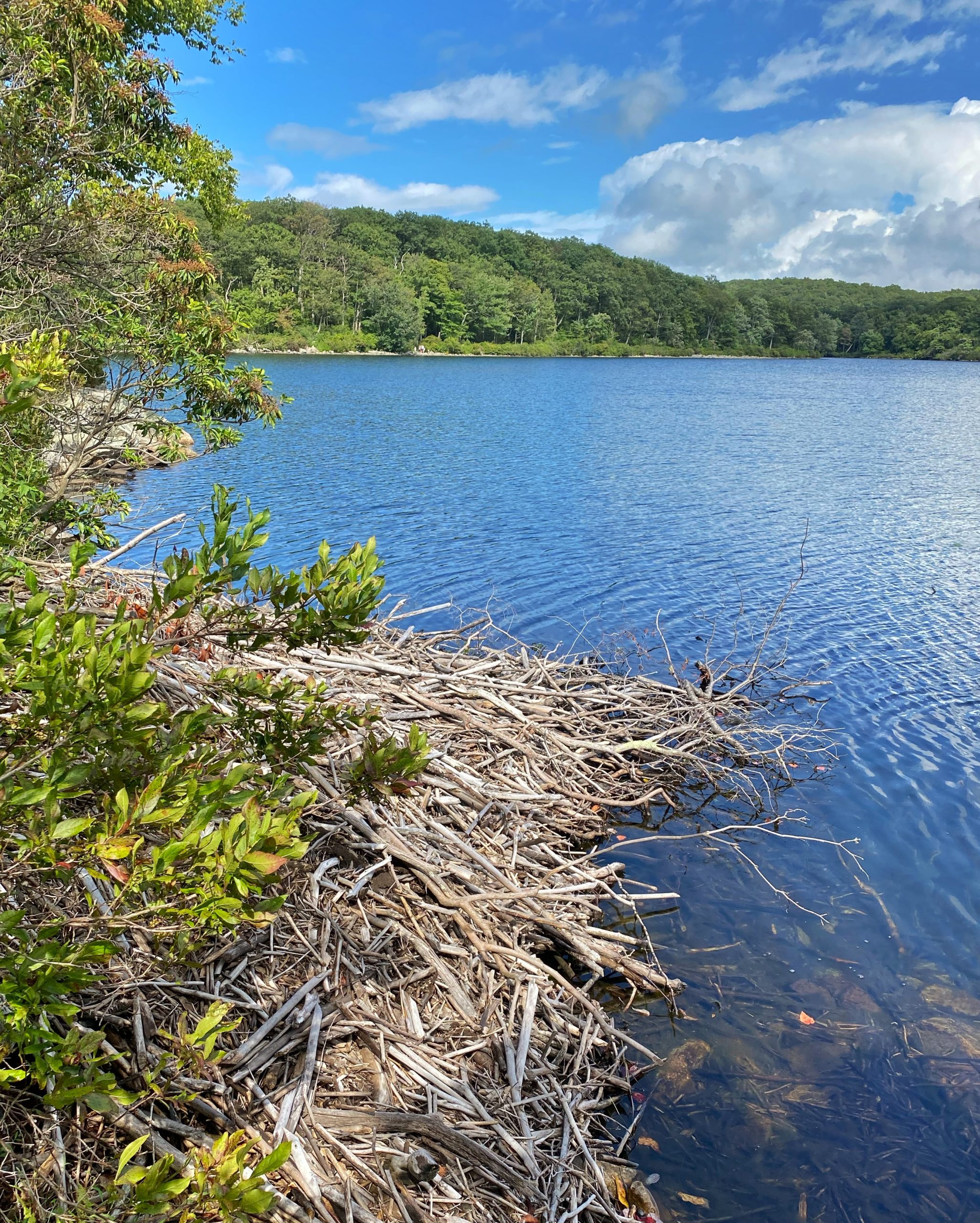
You’ll continue to follow the orange blazes to the top of the ridge. When you reach the junction with the Appalachian Trail, make a right. About a tenth of a mile ahead, you’ll reach Sunfish Pond, a beautiful mountaintop glacial lake.
This section of the trail is very rocky as the Appalachian Trail skirts the north and west side of the lake. Continue another 3/4 mile and you’ll reach the Worthington State Forest backpackers campground.
Here, the Appalachian Trail will fork to the left, but we will follow the blue-blazed Douglas Trail back to the parking lot. The 1.6 mile Douglas Trail is also steep, but less-so than the Garvey Springs Trail, and is an easier hike.
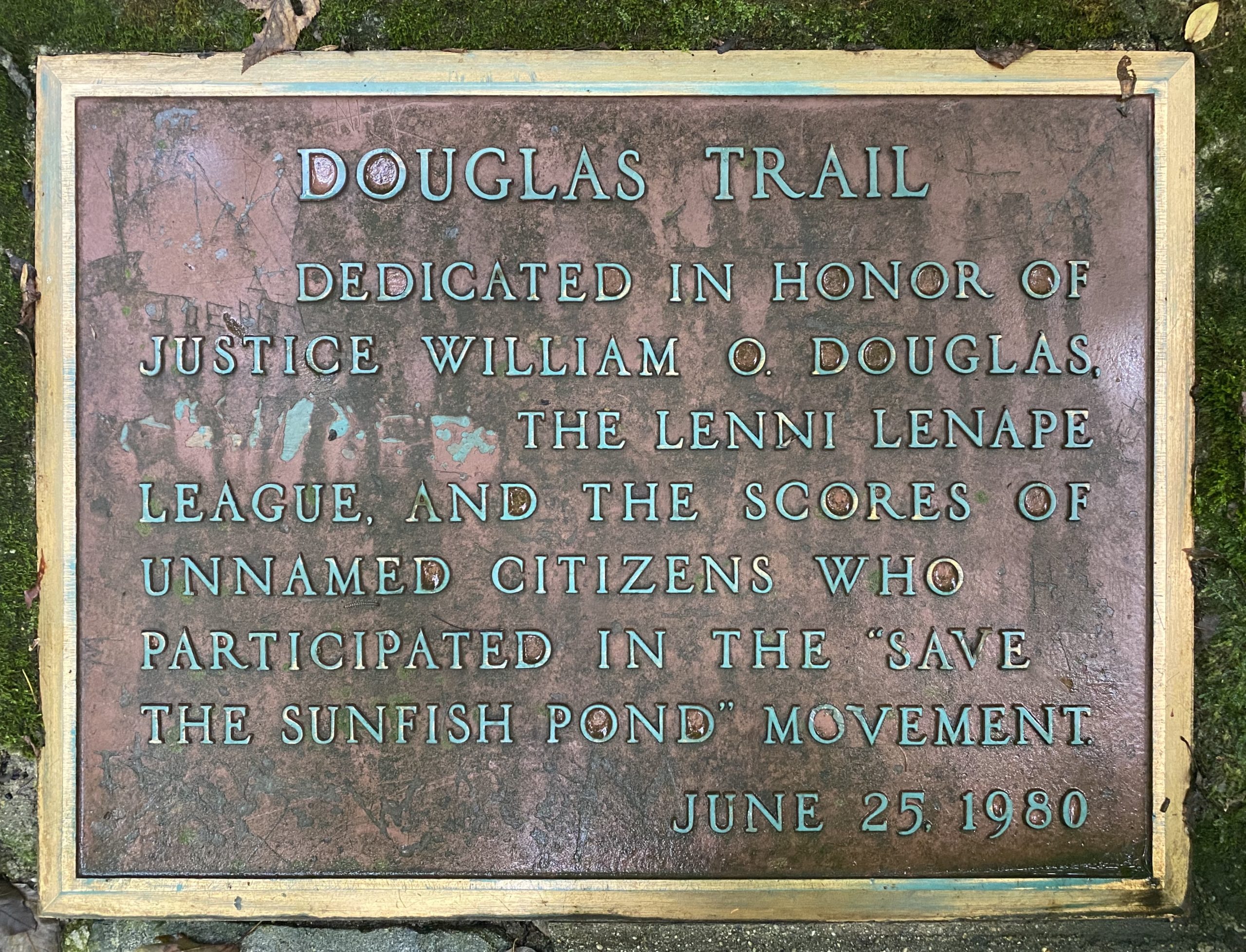
Near the bottom of the trail, you’ll reach a monument in honor of U.S. Supreme Court Justice William O’ Douglas and advocates who led a hike up this trail as part of an effort to “Save Sunfish Pond.”
