Overview: The Burnt Meadow Trail is a moderately easy and lightly trafficked 3-mile loop featuring a spectacular view from Horse Pond Mountain of the Monksville Reservoir and Wyanokie Mountains just a short distance from the trailhead. The secret’s not out yet, so this trail gets very little foot traffic even though it offers one of the best views in New Jersey.
This trail makes our list of best hiking trails in New Jersey. To find other great hikes, check out the whole list.
Hike Length: 2.9 miles
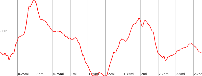
Elevation Gain: 750 feet
Location: Long Pond Ironworks State Park, West Milford, NJ
Nearby hike: Big Beech Mountain & Jennings Hollow
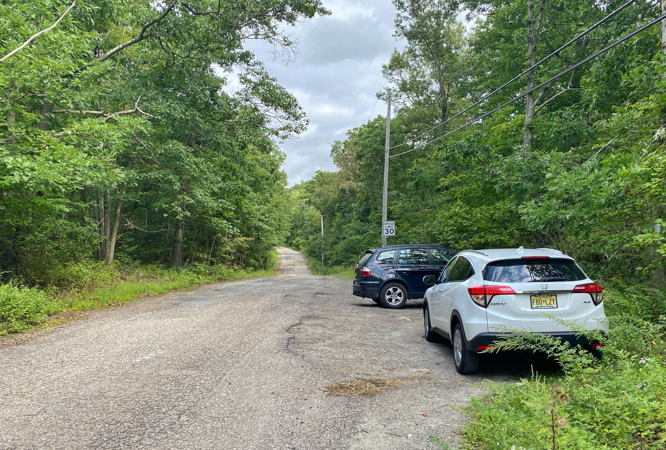
Parking: Park and leave your car on the shoulder of Burnt Meadow Road, near the southernmost crossing with the Burnt Meadow Trail.
Maps:

- Norvin Green State Forest/Long Pond Ironworks State Park map (NY-NJ Trail Conference online map)
- North Jersey Trails Map #115 (NY-NJ Trail Conference paper map)
- Long Pond Ironworks State Park Map (NJ Parks & Forests)
Trail description:
This guide describes the loop in the counterclockwise direction.
The trailhead for the green-blazed Burnt Meadow Trail is just south of the shoulder parking area on Burnt Meadow Road. There is a kiosk on the other side of the road, but we will enter the woods on the east side of the road.
If you begin the trail by starting on the side of the road with the kiosk, you’ll be following this loop in the opposite direction from how it’s described below and the great view of Monksville Reservoir will be near the end of the hike.
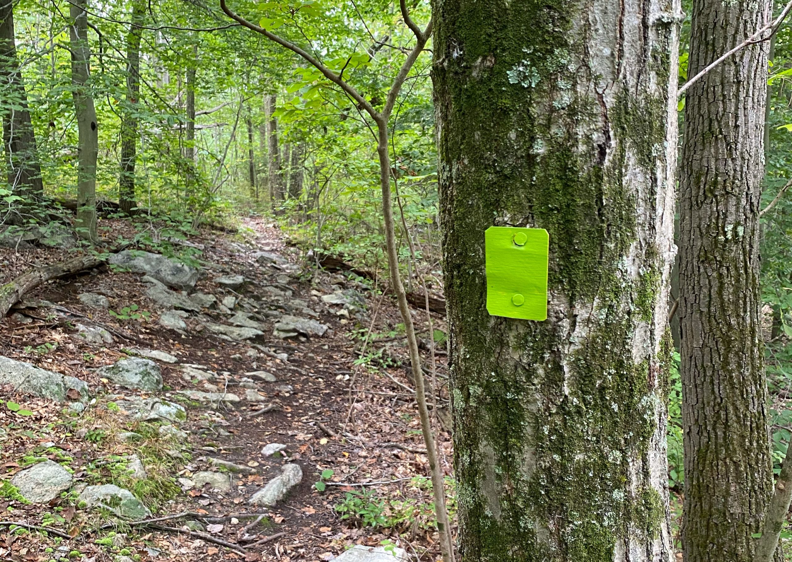
The trail will ascend a few hundred feet over the next half a mile and reach a junction with the Teal-blazed Highlands Trail. You’ve now climbed to the top of Horse Pond Mountain.
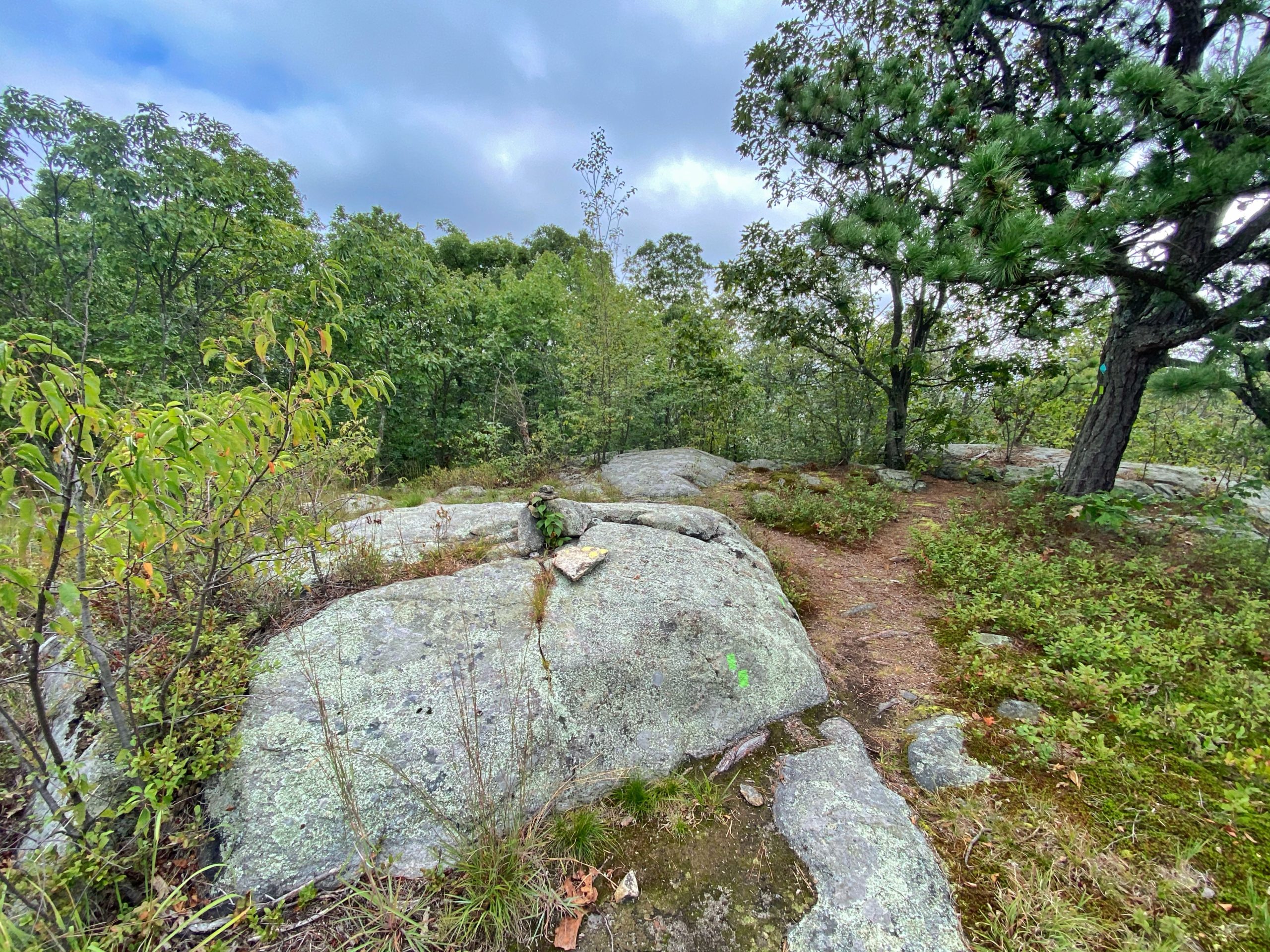
At the junction, make a left. The trail is now co-blazed teal and green.
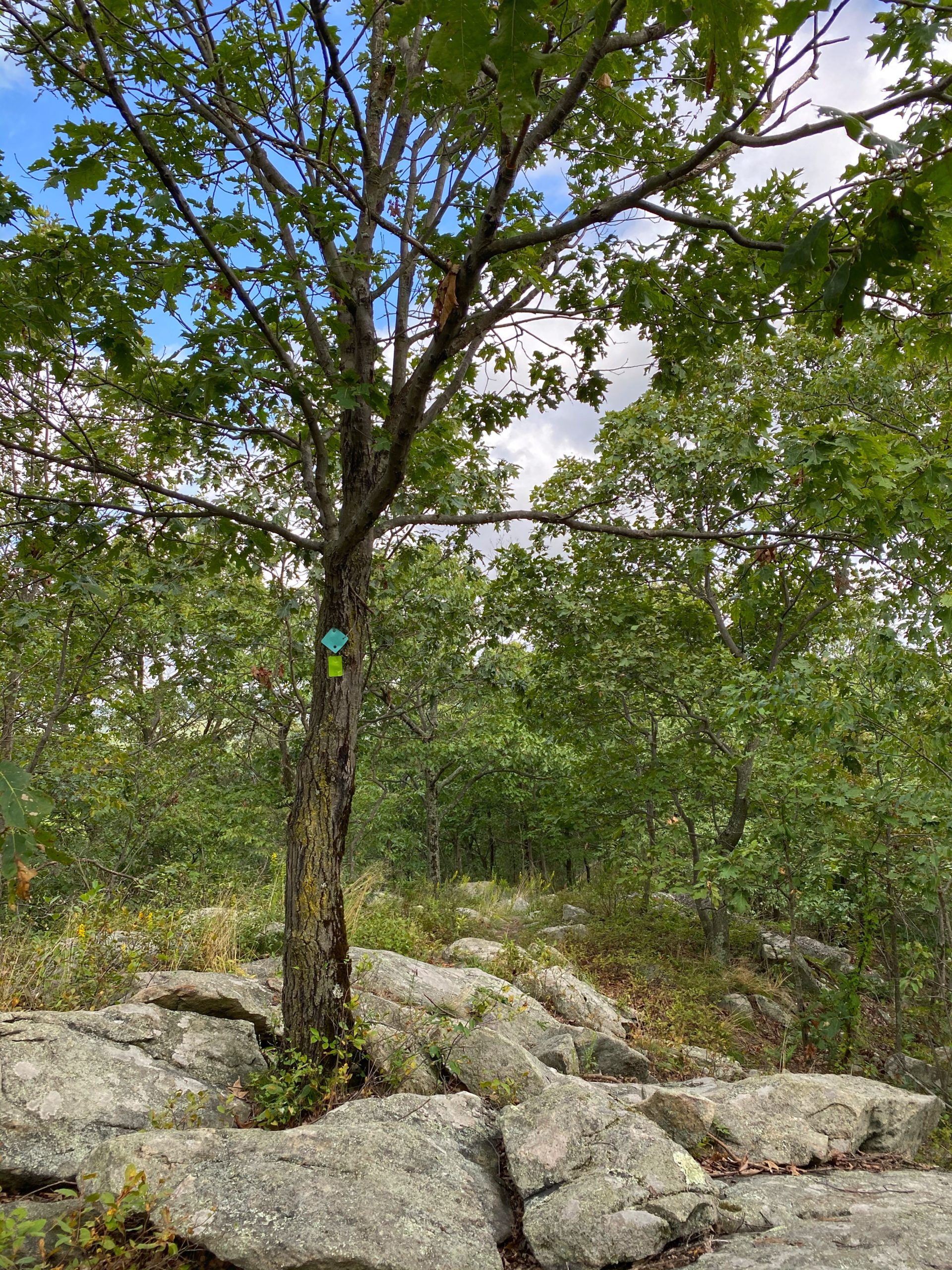
Soon, you’ll reach a partial viewpoint of the Monskville Reservoir. Continue a little further and you’ll reach an exposed clearing providing a spectacular view of the Monksville Reservoir and the Wyanokie Mountains, including Monks Mountain. The rest of the hike is nice, but it’s figuratively downhill from here, so take a break here and enjoy the view.

When you’re ready to continue, follow the teal and green blazes until just before you reach the power lines.
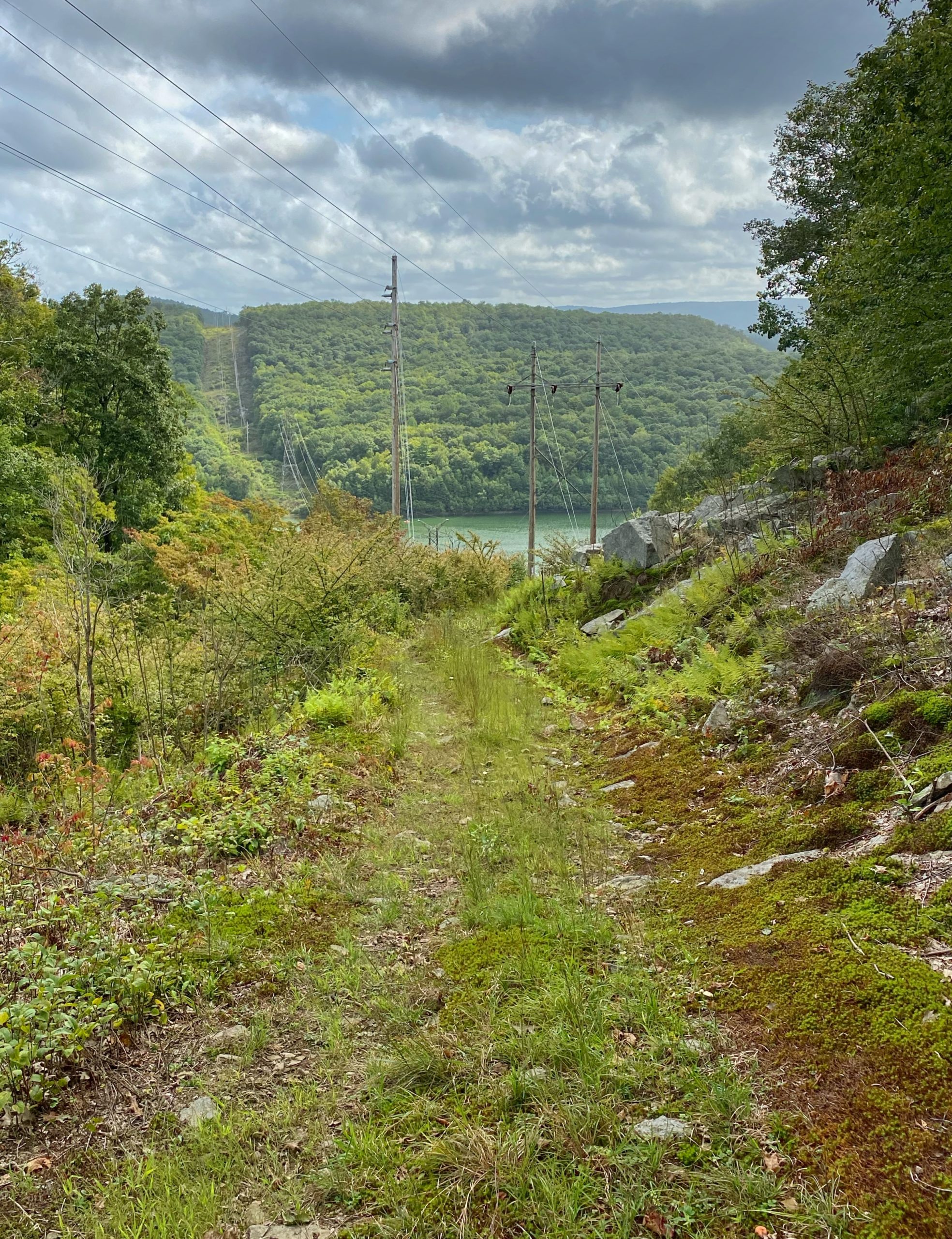
If you reached the power lines, you went just a bit too far. Backtrack a few feet and then turn to continue to follow the green blazes.
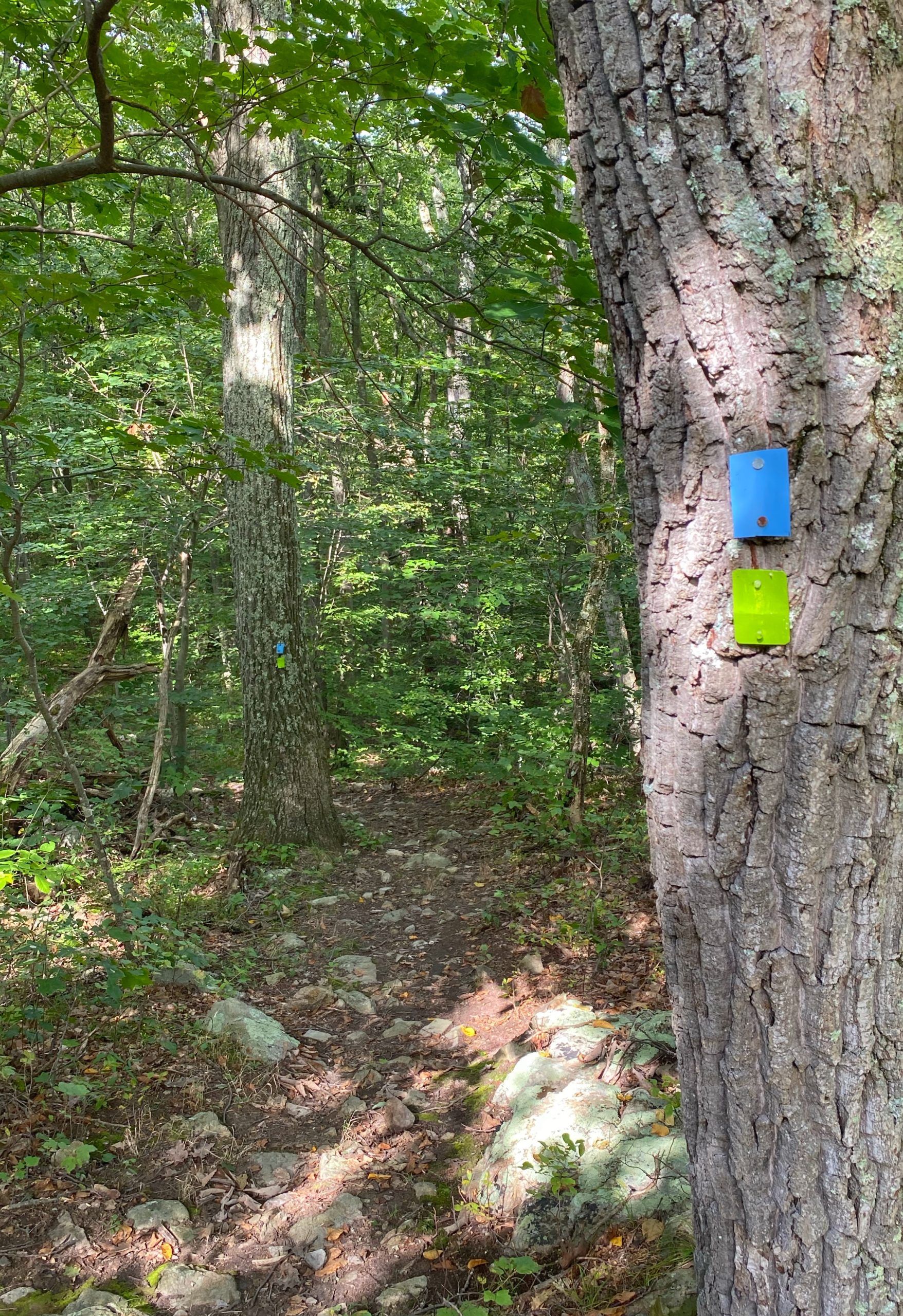
The trail now follows and is co-blazed with the blue Hewitt-Butler Trail and will descend through a valley.
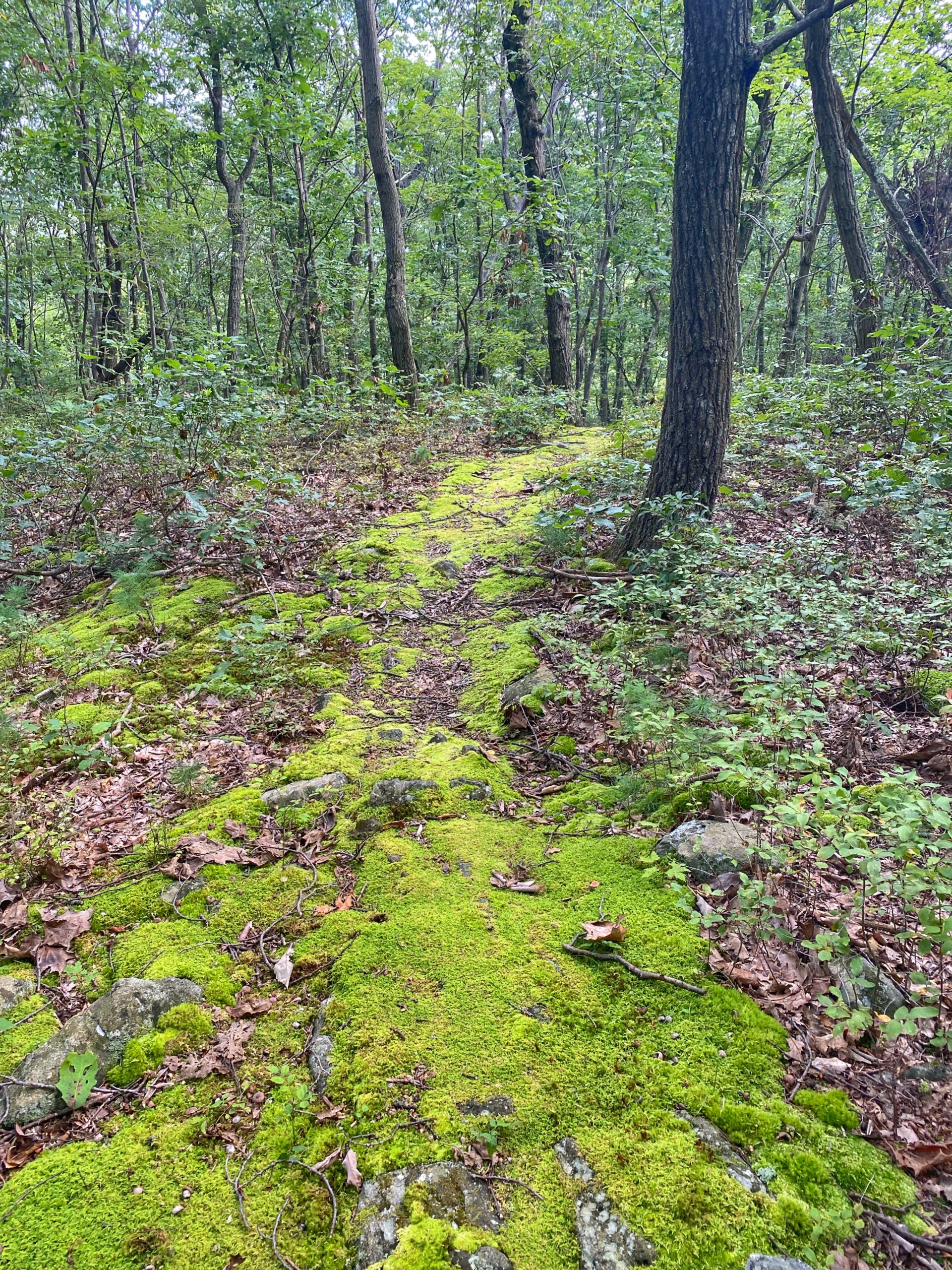
You’ll soon cross Burnt Meadow Road. Upon crossing, the trail will parallel the power lines for a few hundred feet.
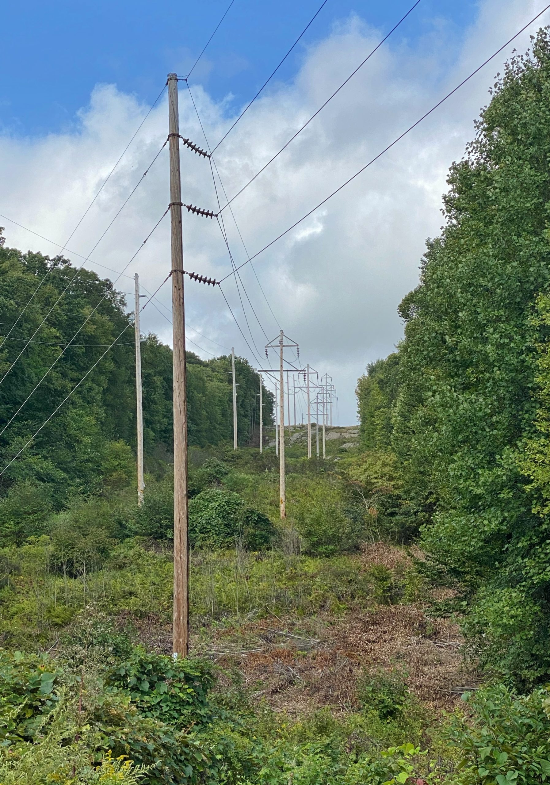
The trail now turns left away from the power line cut and reenters the woods, immediately crossing Hewitt Brook.
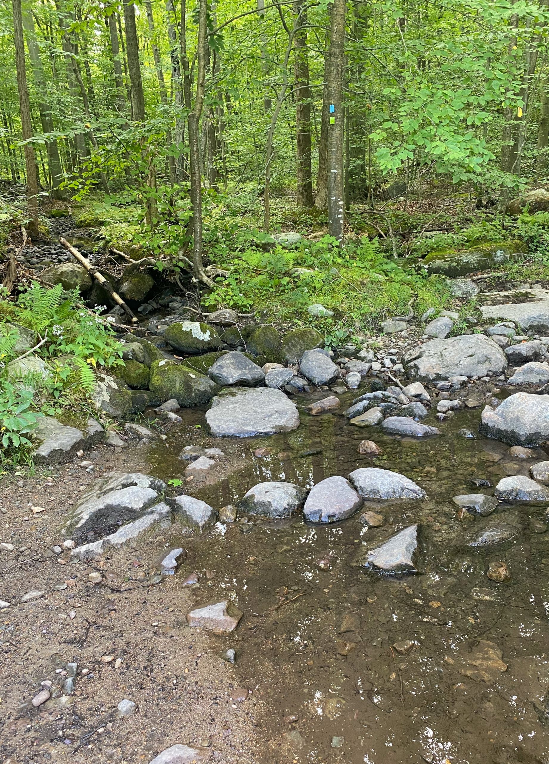
The trail now climbs Long Hill and reaches a junction where the Hewitt-Butler Trail and the Burnt Meadow Trail split. From this point, there is a partial view to the east.
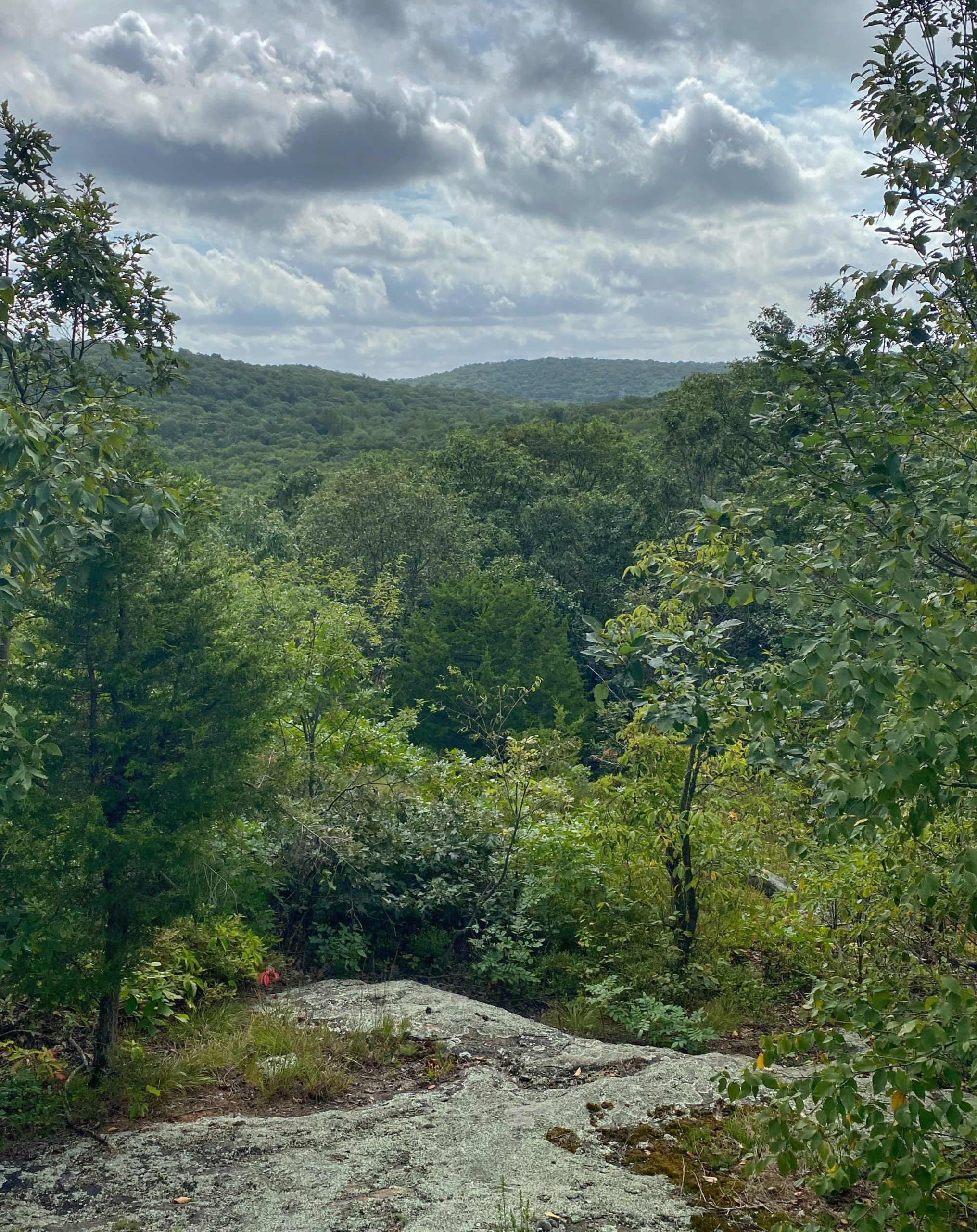
The trail now descends into a valley and again crosses Hewitt Brook. Shortly, you’ll be back at the trailhead and parking area at Burnt Meadow Road.

