Overview: A 7.4 mile lollipop loop hike passing Revolutionary War era ruins, climbing Big Beech Mountain with views of the Wyanokies, crossing the NY/NJ border with a historic boundary marker, and passing the wildlife-rich Jennings Hollow, including an active beaver lodge. (Note that streams criss-cross this area and much of the trail has poor drainage and is wet.)
Hike length: 7.4 miles (extra 0.4 mi RT with optional detour to a viewpoint)
Elevation gain: 940 feet
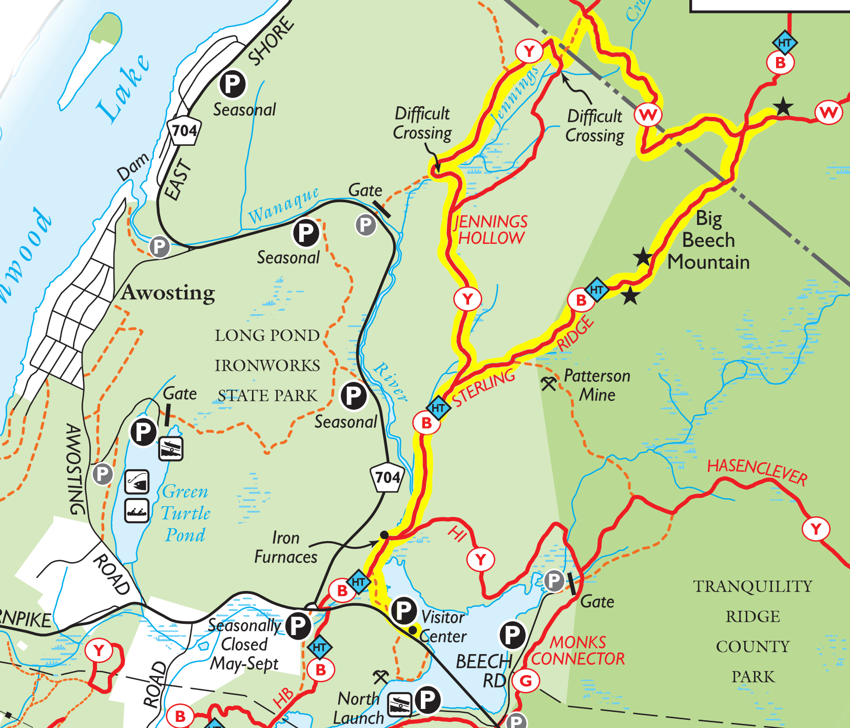
Location: Long Pond Ironworks State Park, West Milford, NJ (and temporarily dips into Sterling Forest State Park, NY)
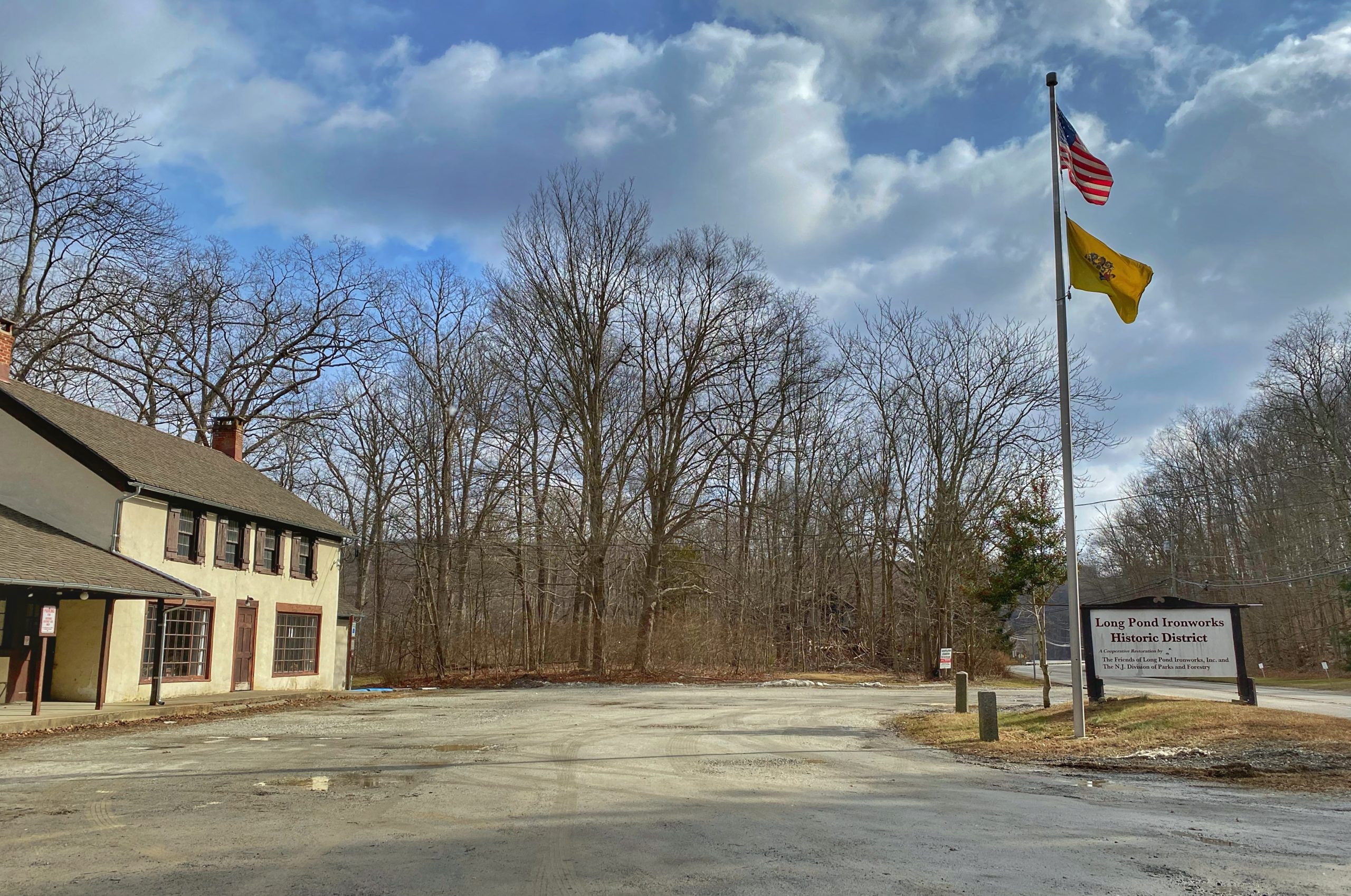
Parking: Park and leave your car at Long Pond Ironworks Visitor Center.
Maps:
- Norvin Green State Forest/Long Pond Ironworks State Park map (NY-NJ Trail Conference online map)
- North Jersey Trails Map #115 (NY-NJ Trail Conference paper map)
- Long Pond Ironworks State Park Map (NJ Parks & Forests) – map is missing the Lake to Lake connector trail in Sterling Forest and the unmarked trail connecting to the Jennings Hollow (yellow) trail
- Sterling Forest State Park map (NY Parks, Recreation & Historic Preservation) – map is missing the Jennings Hollow trail and the unmarked connector trail.
Trail description:
Follow the unmarked trail behind the Visitor Center to the west as it follows along the Monksville Reservoir.
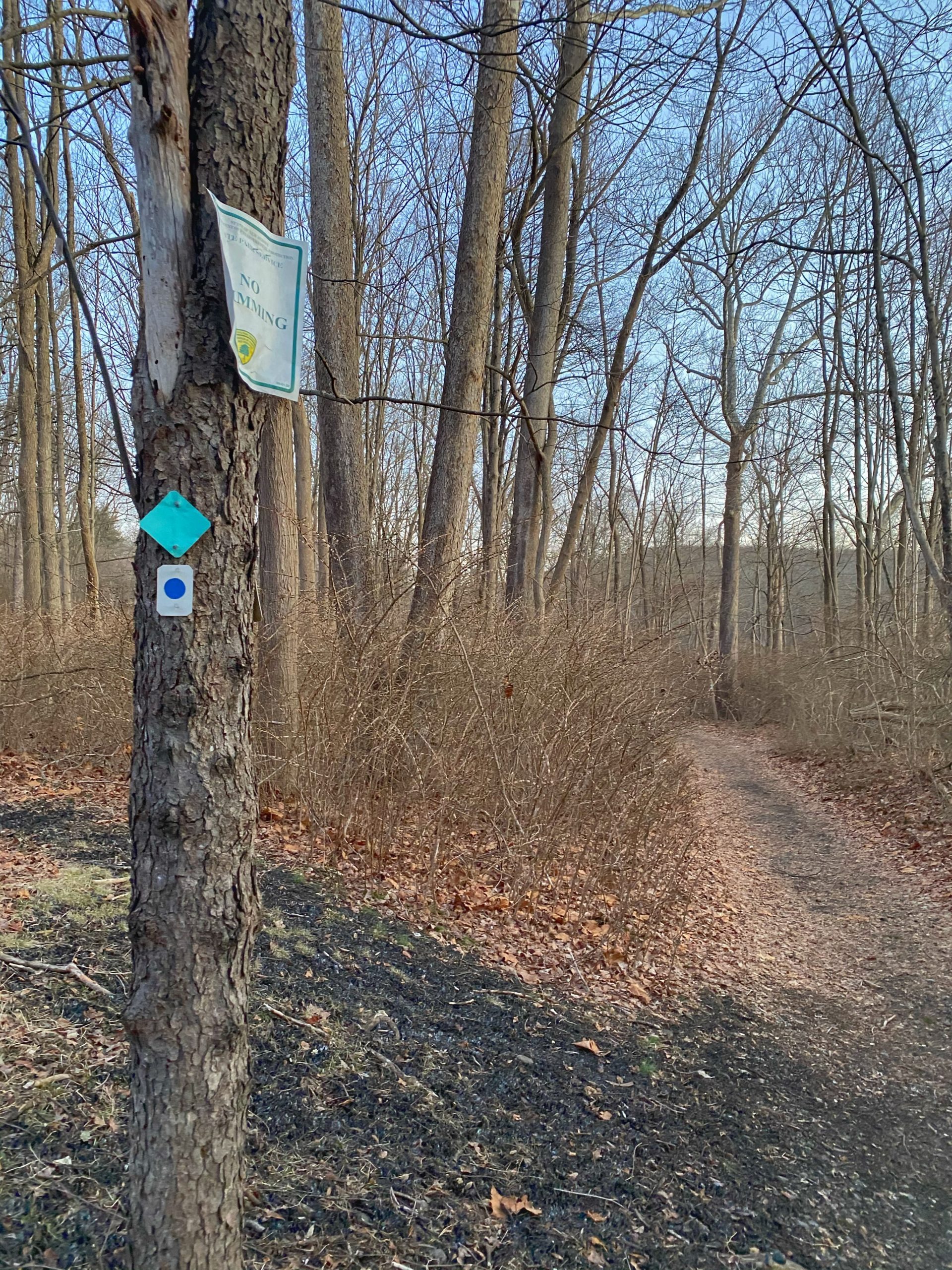
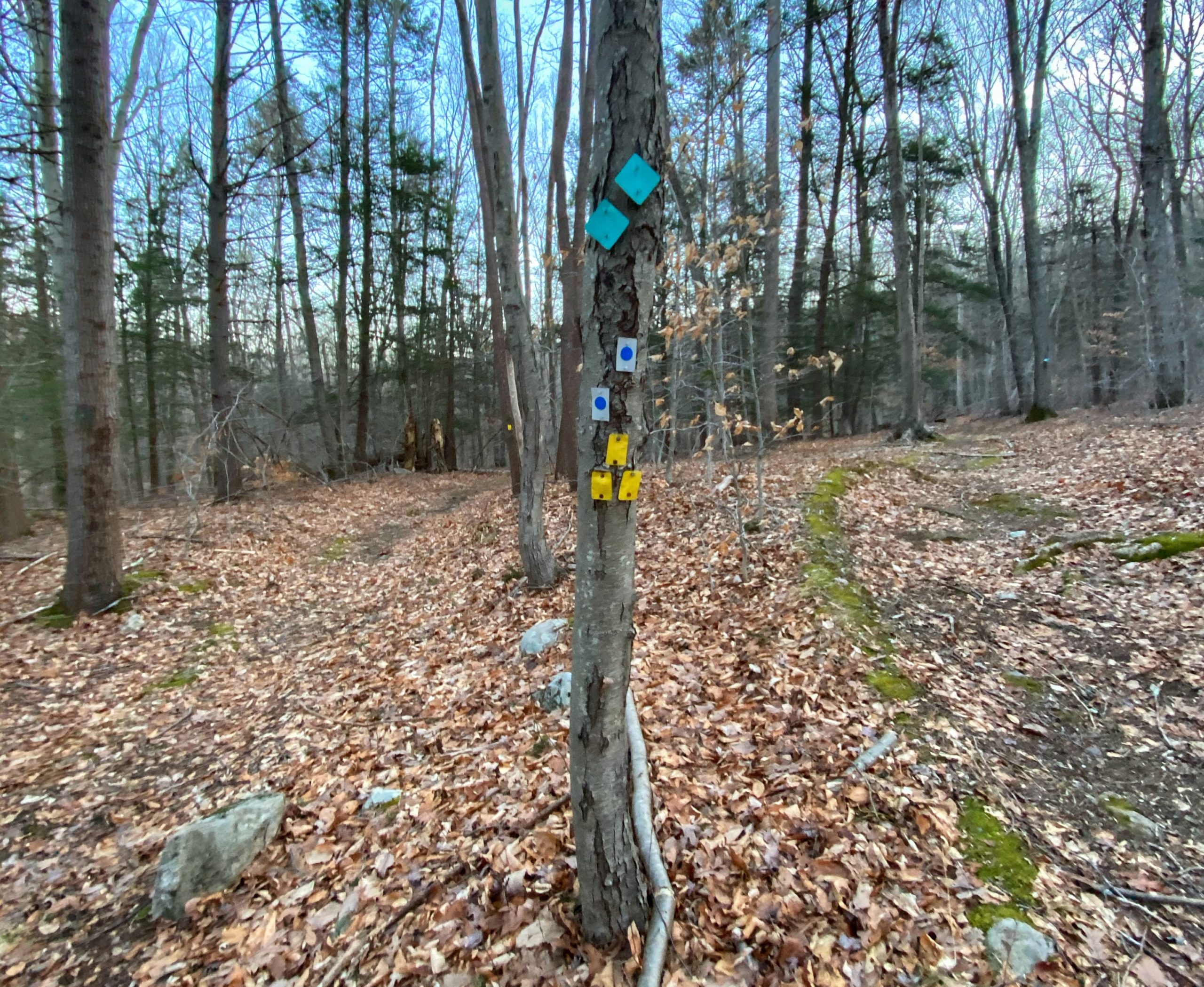
You will soon reach the blue dot on white-blazed Sterling Ridge trail, which is co-aligned with the Highlands Trail (teal diamond).
As you follow the trail northbound, you will pass by the Long Pond Ironworks sawmill, house foundations, company store, and furnace site. There is a lot of history here – the ironworks supplied products to General Washington’s Continental Army and later for the Union Army in the Civil War. For much more historical information, visit the Friends of Long Pond Ironworks.

At the furnace site, the trail turns east and crosses a bridge over the Wanaque River.
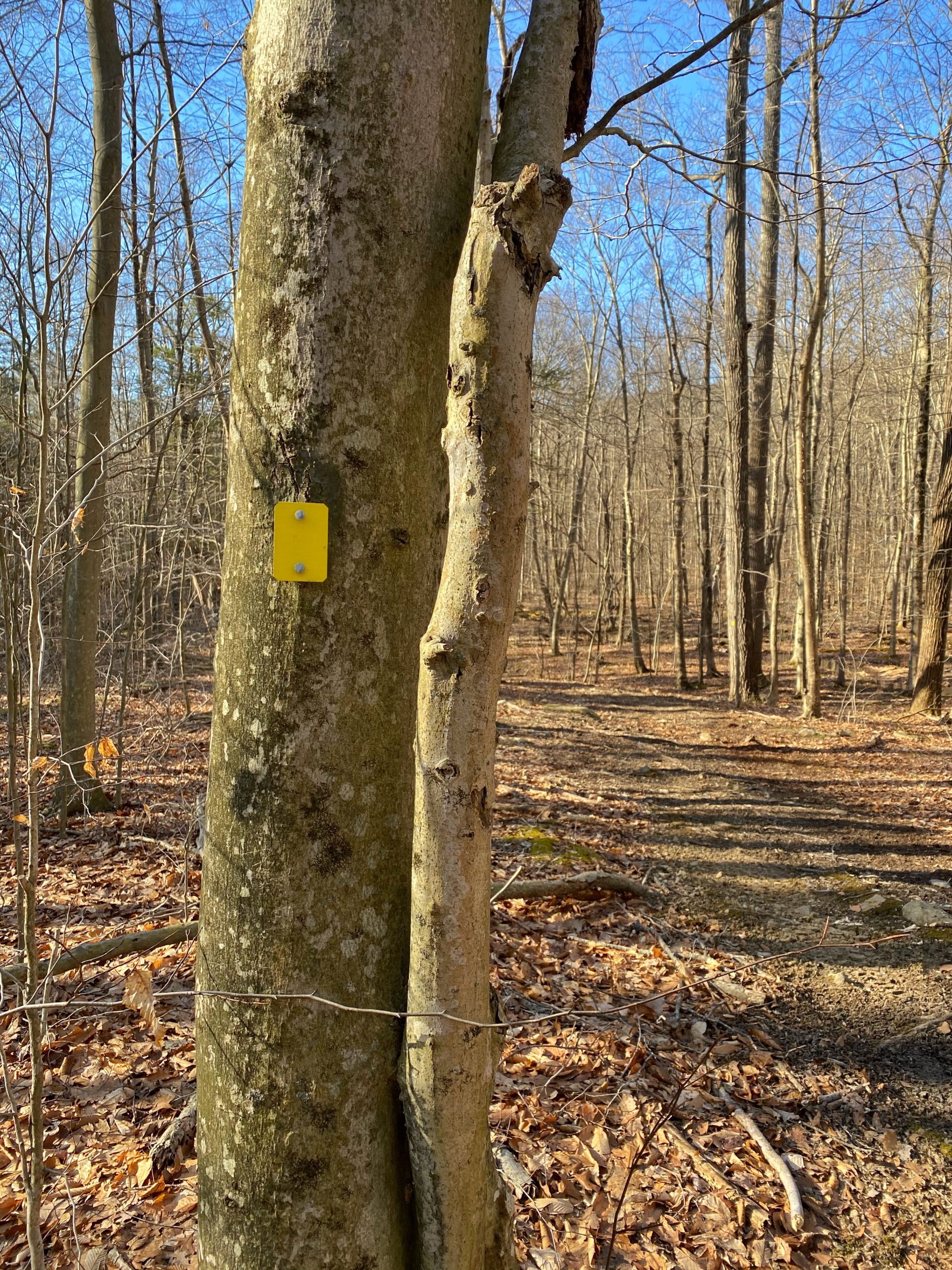
You will quickly reach a junction on your right with the yellow-blazed Hasenclever Iron Trail. Do not take the yellow trail. Continue along the blue dot trail until you reach a second junction with a yellow-blazed trail (this one is the Jennings Hollow Trail which we will take as the return part of this loop). Stay right to follow the blue dot trail.
The trail now climbs up onto the hillsides of Big Beech Mountain.
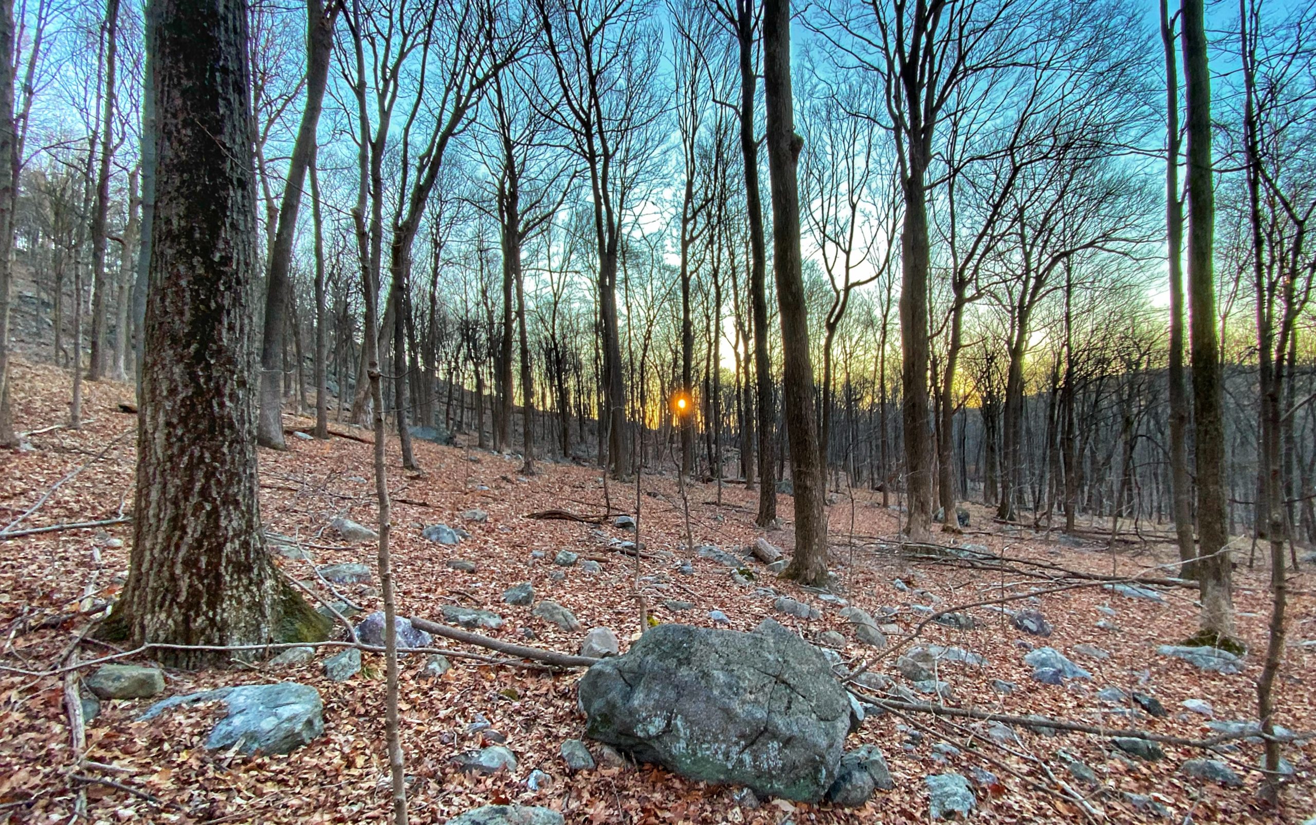
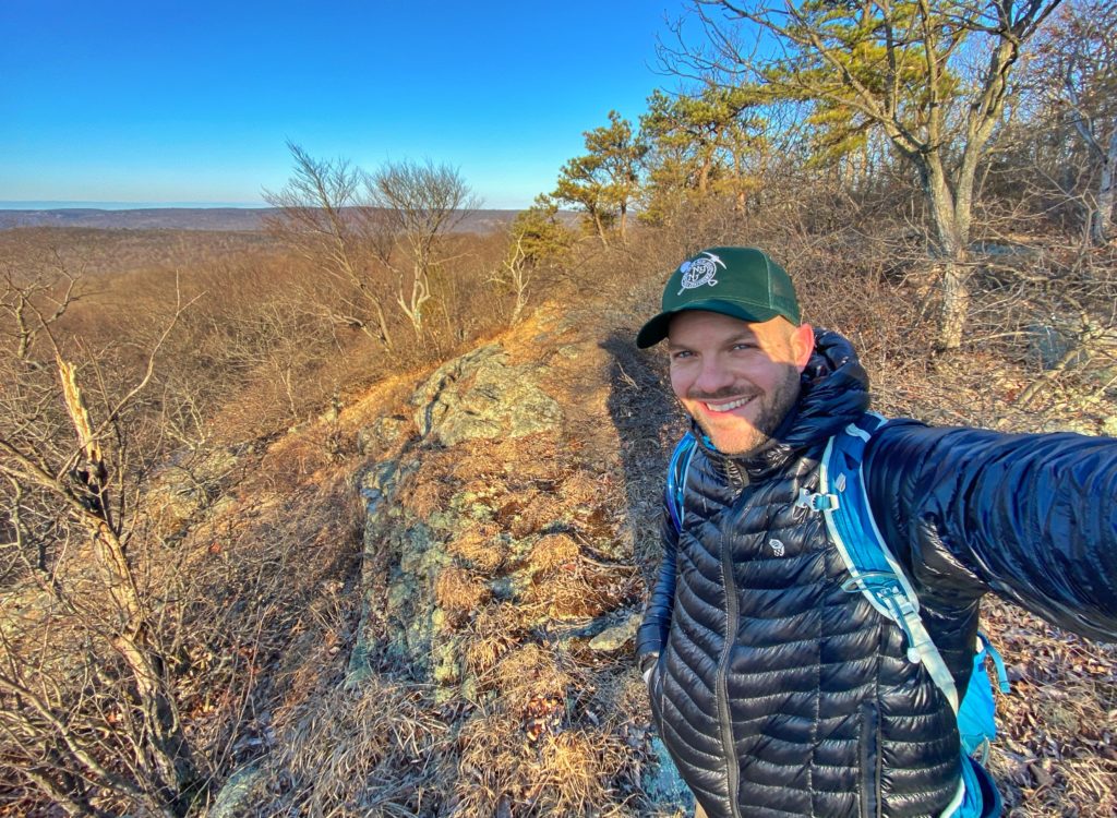
You will then reach the first (and in my opinion, best) viewpoint of the hike. Once you reach the spot, if you walk down to the side a little bit you can get a clear southeastern views of the Wyanokies and Montksville Reservoir unobstructed (or less obstructed) by trees.

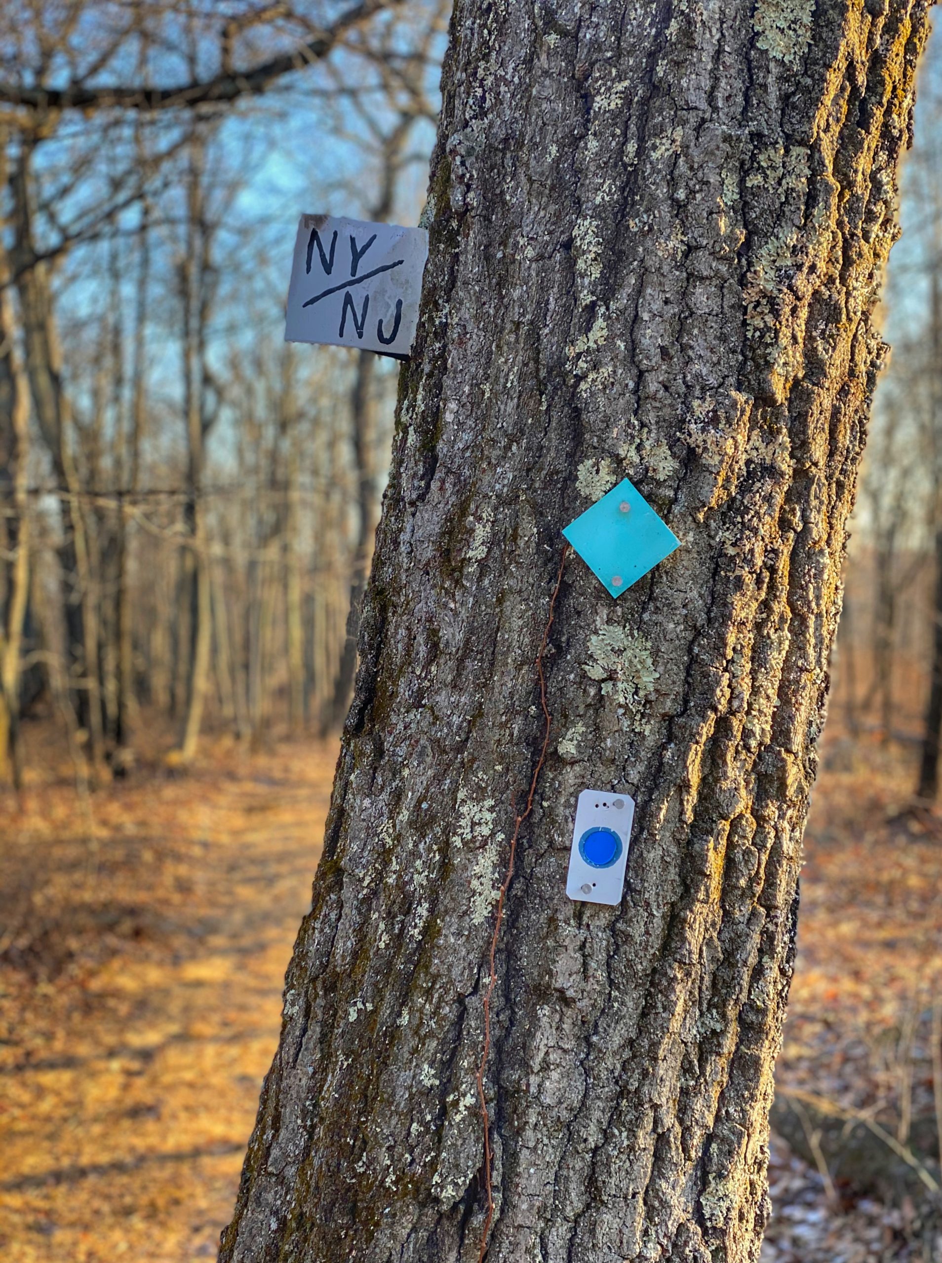
The trail continues north and passes another viewpoint towards the south-west. Eventually, you’ll reach the NY/NJ border.
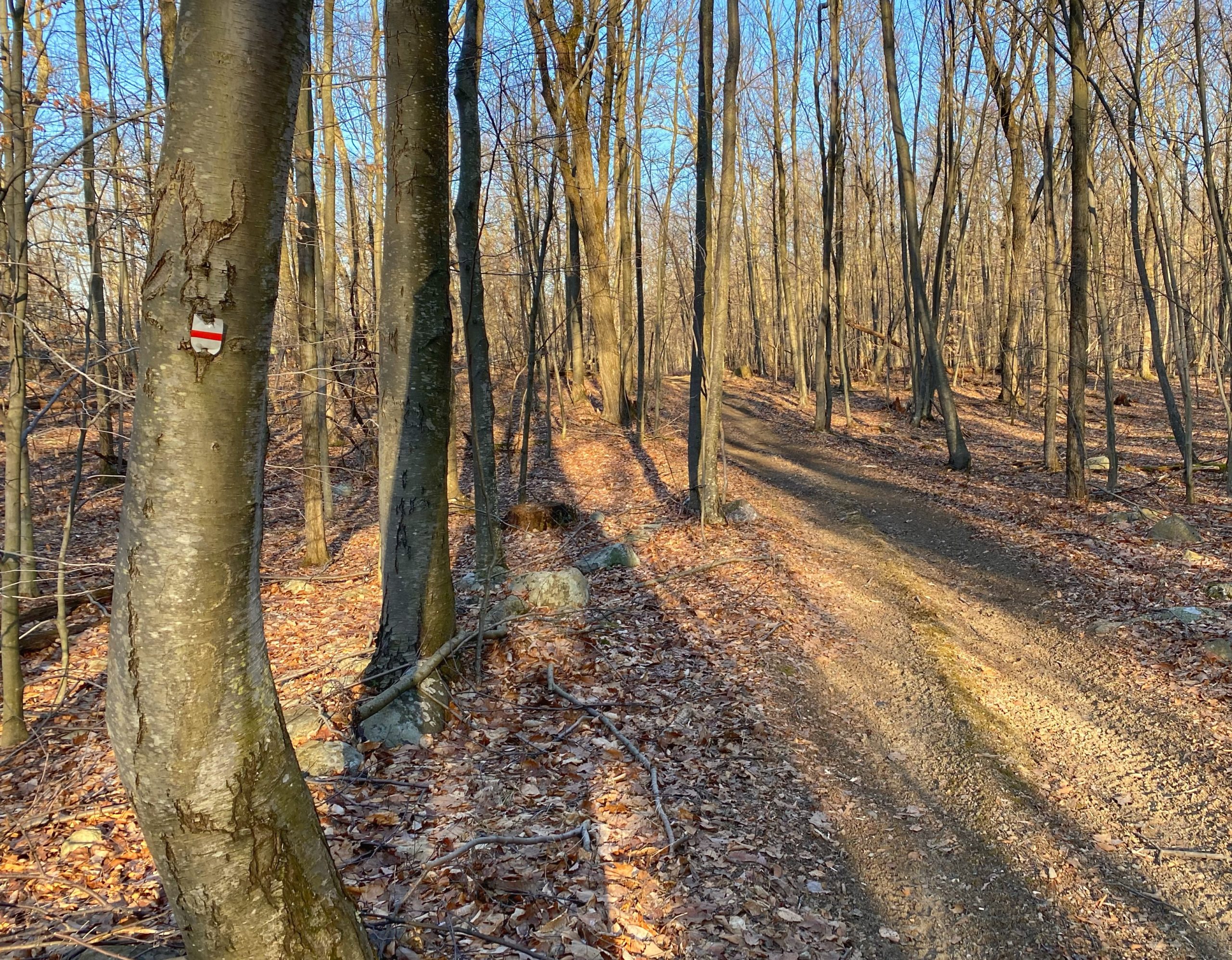
Continue further and you’ll reach the junction with the red line on white-blazed Lake-to-Lake Trail.

Here we will turn left (west) to continue our loop along the Lake-to-Lake trail. (Or extend the hike slightly with a quick detour option: continue straight along the Sterling Ridge Trail for 0.2 miles (0.4 mi RT) up a steep climb to another viewpoint, then turning around and returning to this junction).
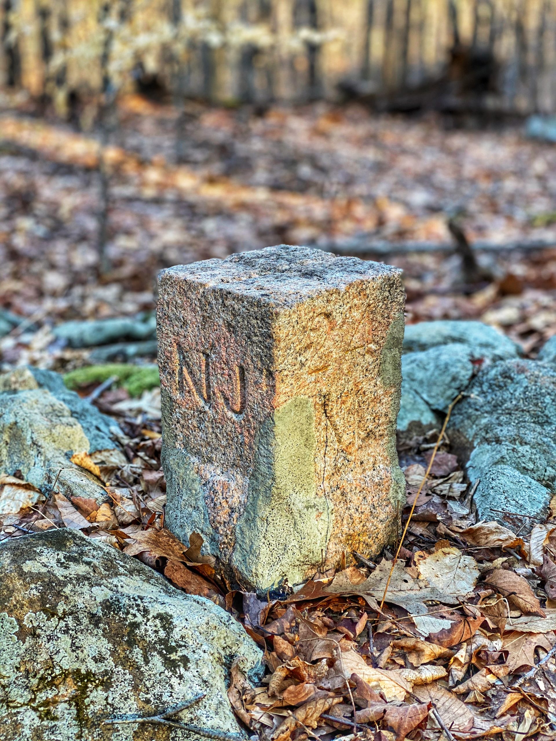
The area is criss-crossed with unmarked roads. The Lake-to-Lake Trail will briefly dip back into New Jersey, then back into New York. Where it crosses New York again, look to the left of the trail for a small granite monument marking the stateline border. You may also notice a few trees in the area marked in faded red paint. The granite marker was installed in 1881 when the state line was resurveyed to replace the original markers from 1774. In this case, the “24” indicates that the location is 24 miles from the bank of the Hudson River (read more about these monuments).
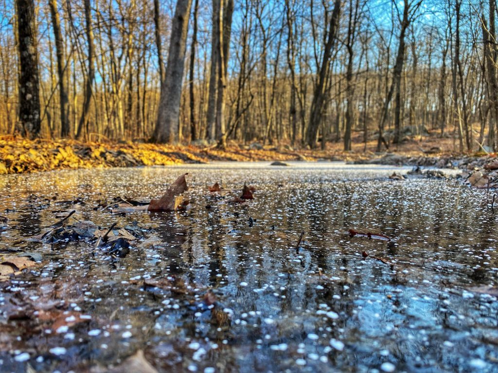
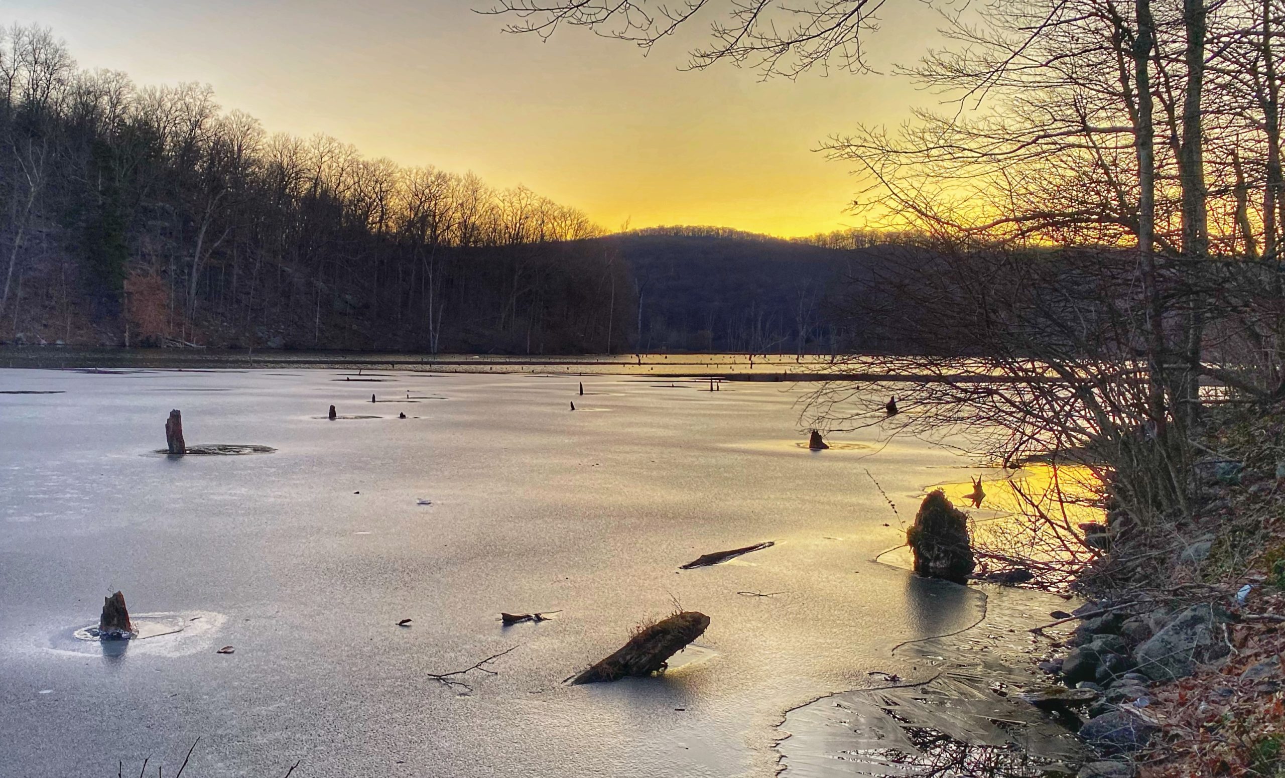
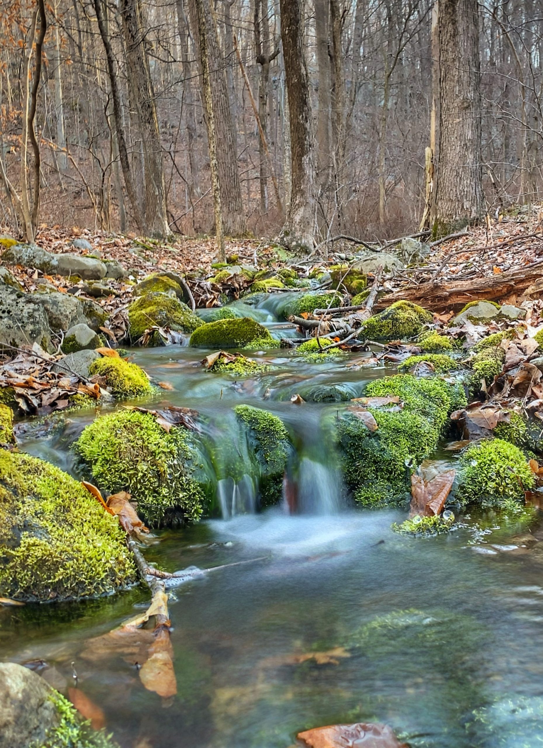
Along the way, you’ll cross several picturesque streams.
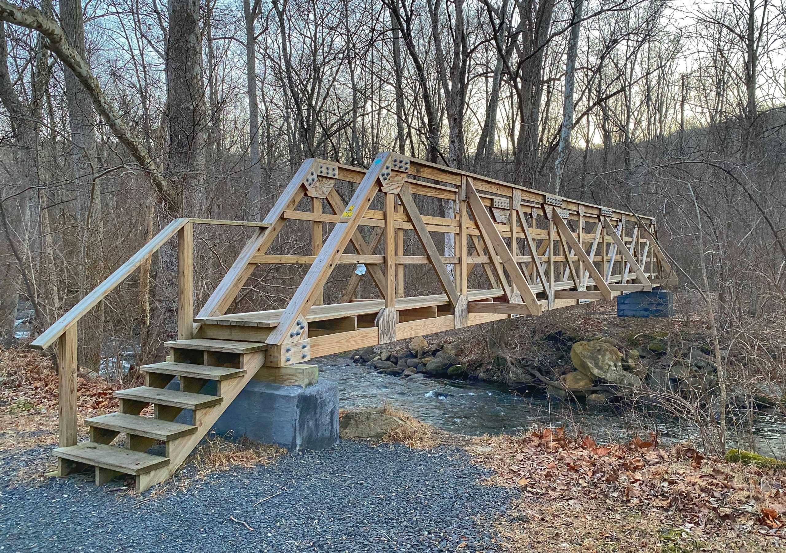
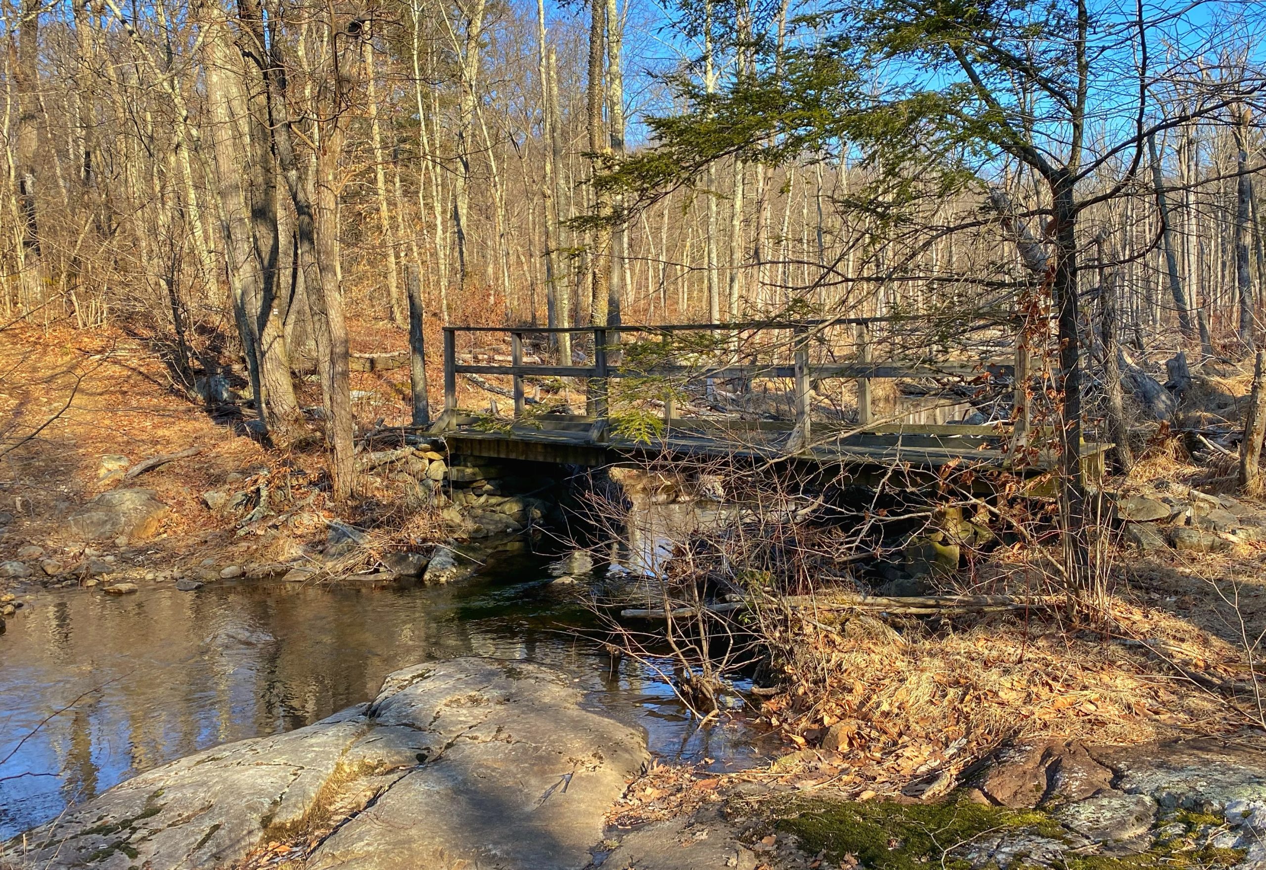
The trail continues and soon cross Jennings Creek on a small footbridge.
Just downstream from the bridge are some nice cascades – a great spot to take a break and enjoy a snack.

You will soon reach a 4-way junction with the Lake-to-Lake trail continuing straight, the green trail going to the right, and an unmarked trail going left. We want to take the unmarked trail to the left. (NOTE: Some maps such as the NY-NJ Trail Conference maps show this trail as a dotted line but others, including the NJ Parks & Forests map, do not)
Make a left onto the unmarked trail. To the left of the trail is a tree with two vertical notches. That’s kind of a mark, right?

The trail ends at the yellow-blazed Jennings Hollow Trail, which makes a loop around the Jennings Creek drainage.
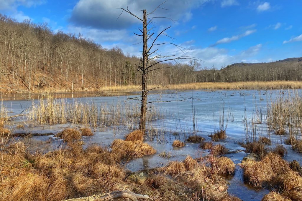
You can follow the loop left or right, but we will follow it to the right. This area, like much of the trail, is wet. We then reach a lowland meadow and marsh.
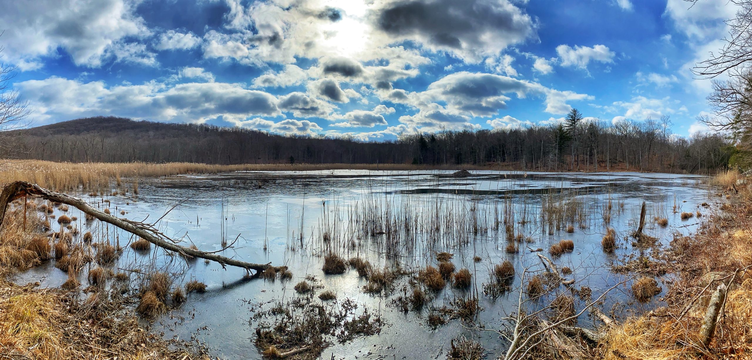
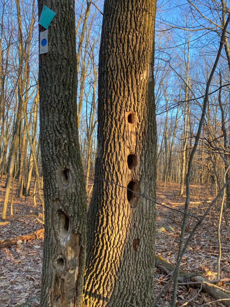
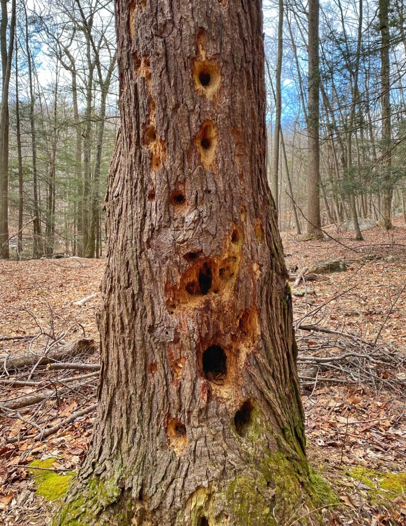
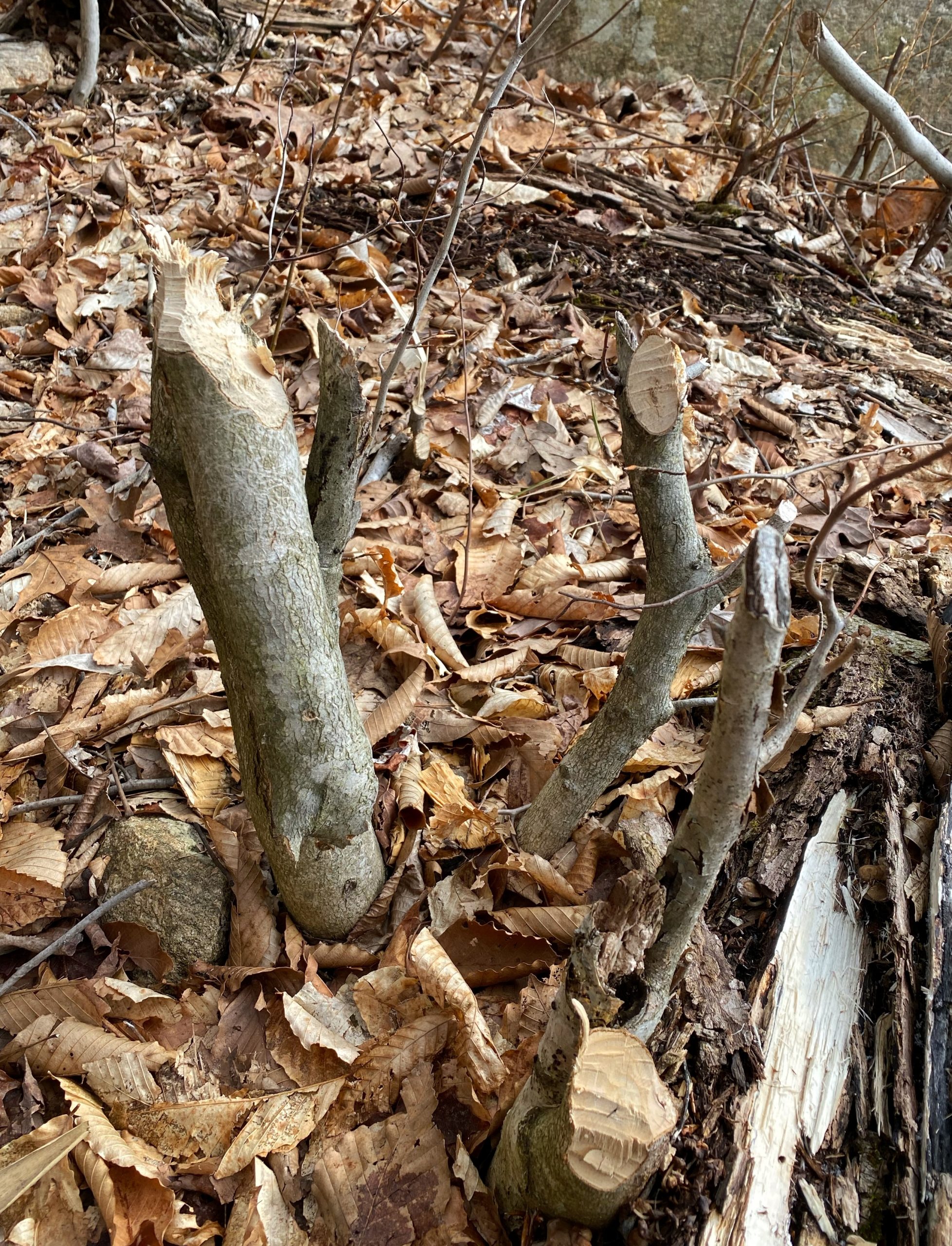
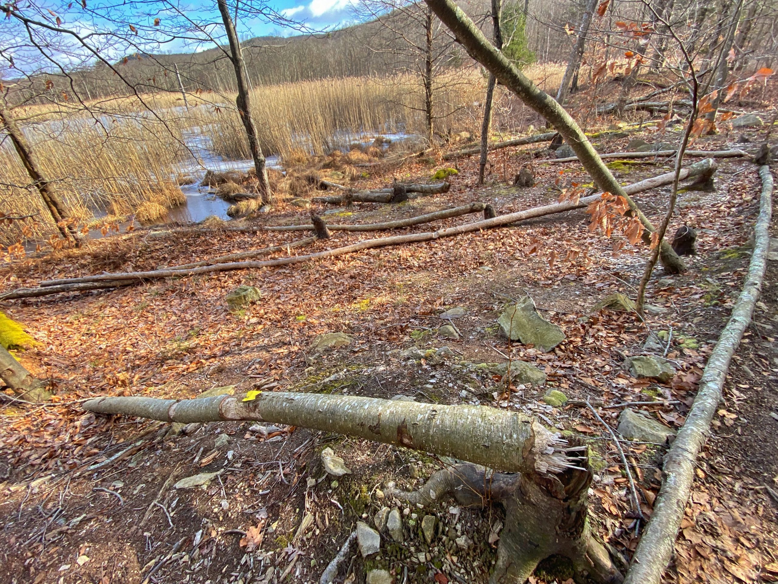
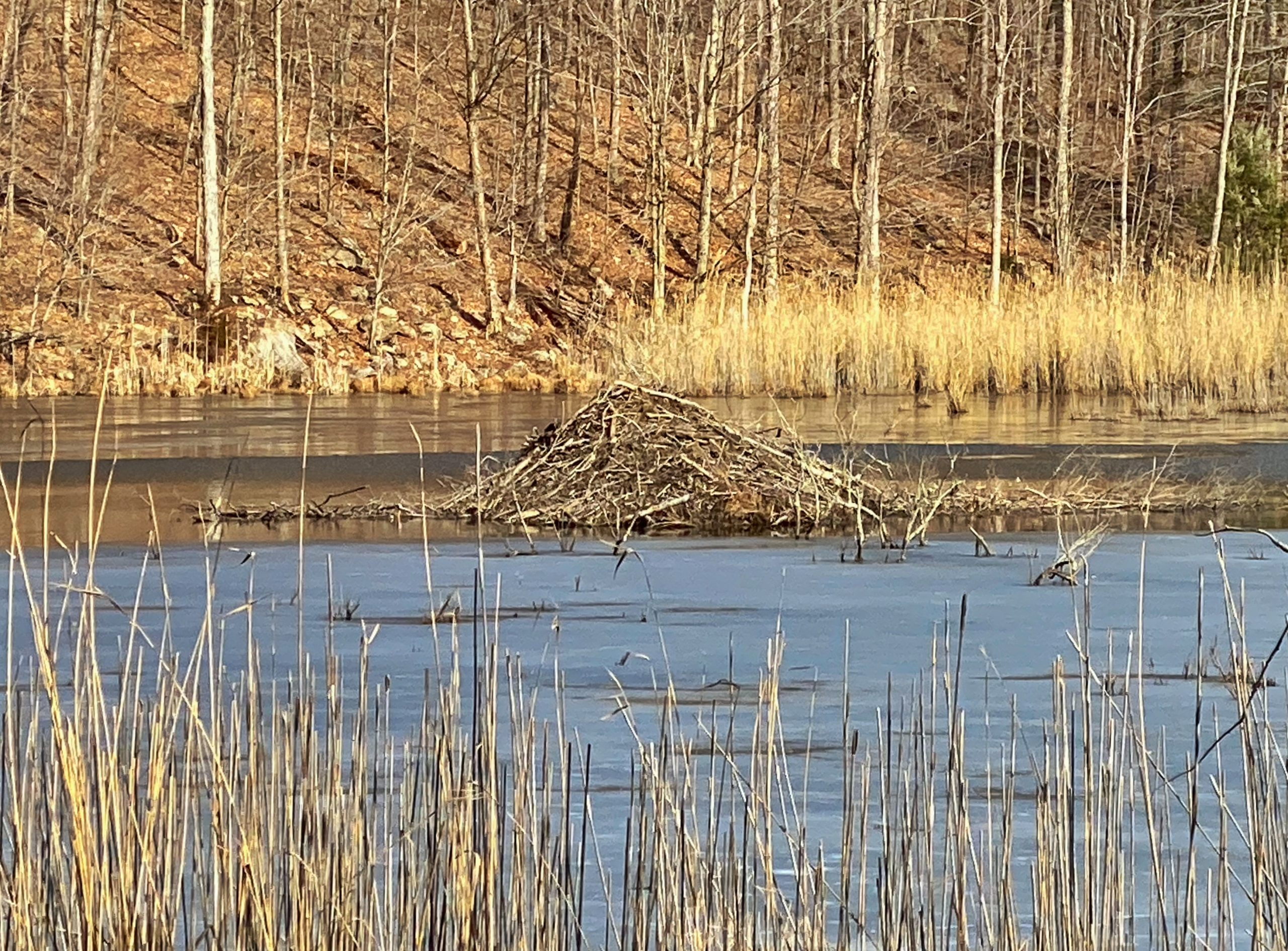
The marsh has an active beaver lodge, and signs of chewed up tree trunks are all around. This is an area with a lot of wildlife.
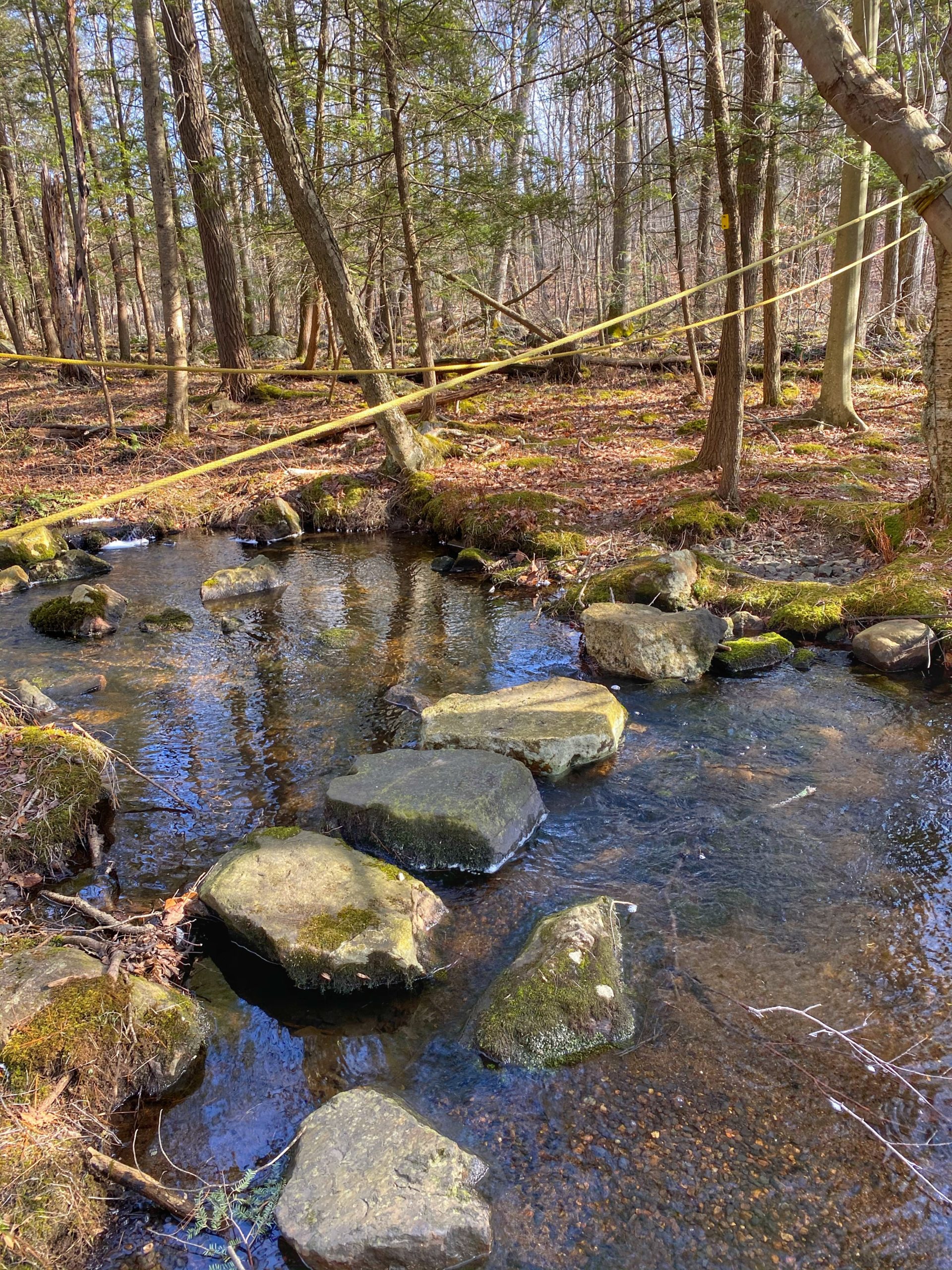
A little further down the trail, keep your eyes open as the trail bends left (there is a pink ribbon tied to a tree, maybe because people miss this turn) and crosses Jennings Creek on stones and roped hand-lines. [NOTE: If you miss the turn, you’ll continue on a trail that ends at East Shore Road (CR 704)]. This is marked “Difficult Crossing” on NY-NJ Trail Conference maps, but the addition of boulders across the stream has made this a straightforward rock hop and easier crossing than it probably used to be. To be honest, I would not rely on the rope as it isn’t very tight so it provides only limited support.

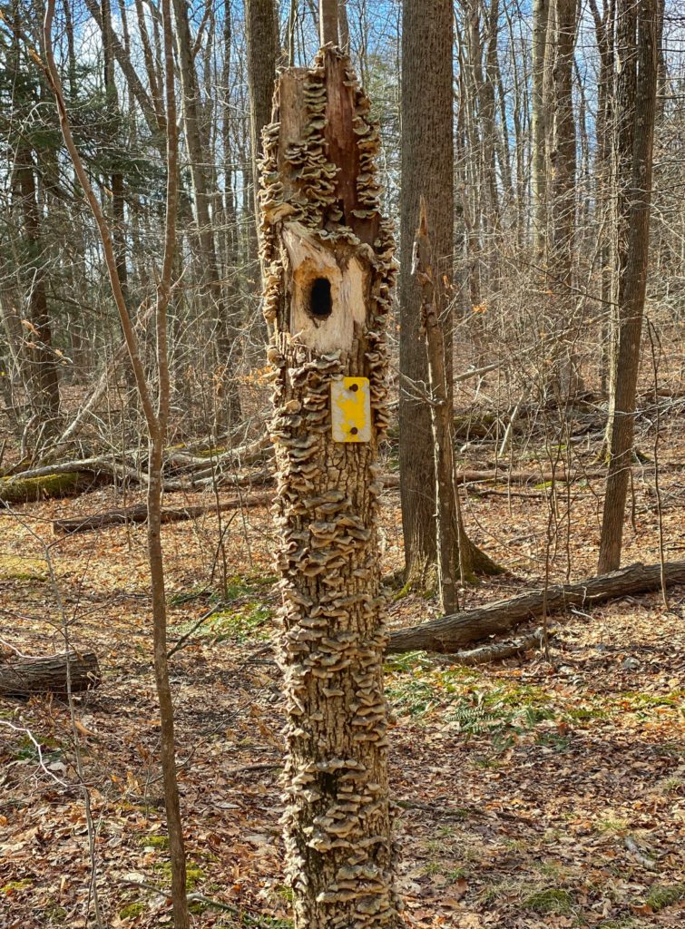
The trail then circles along the southern side of the marshy Jennings Hollow area with more evidence of the beaver massacre. They even took down one of the trees marked with a yellow blaze.
The trail then reaches a junction with itself, where you could turn left to make a complete loop around Jennings Hollow, but we will continue straight through the cut tree trunk.
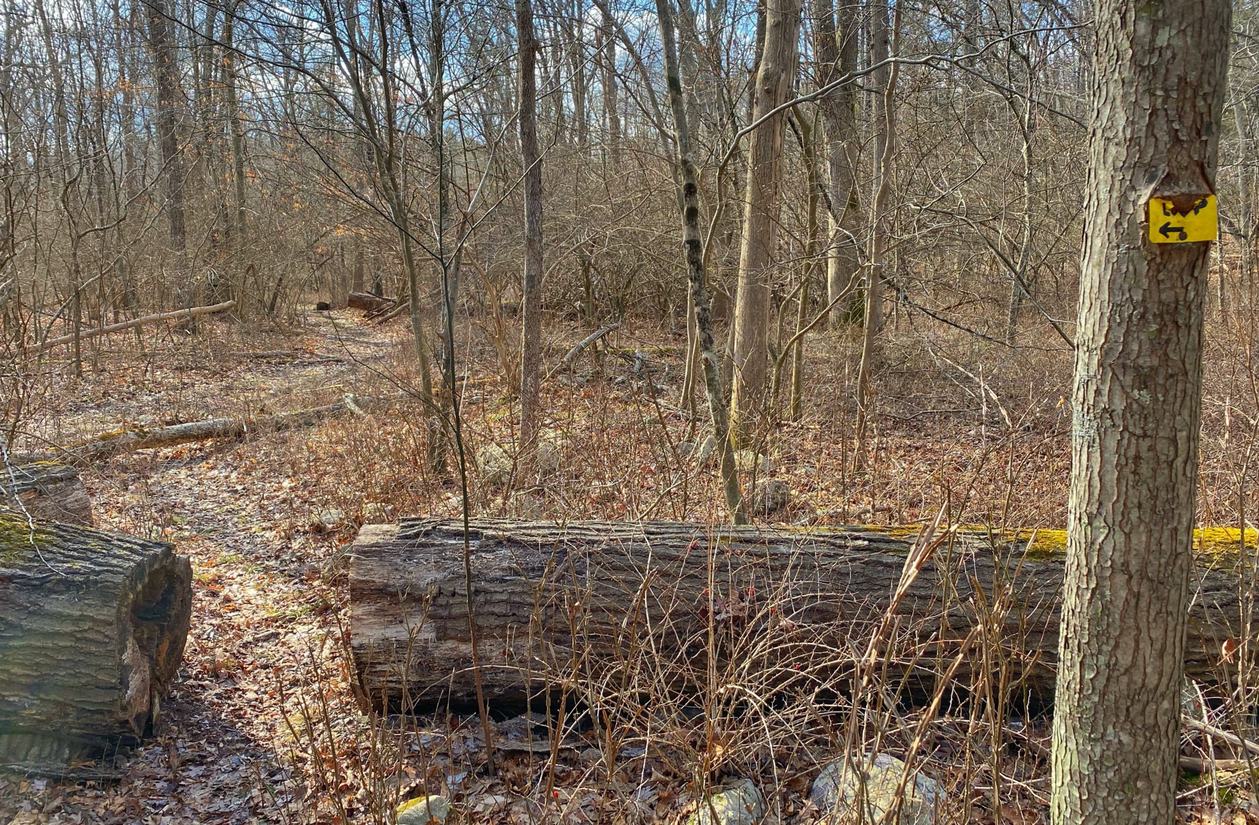
Soon you’ll see a sign indicating that the Highlands Trail is ahead.
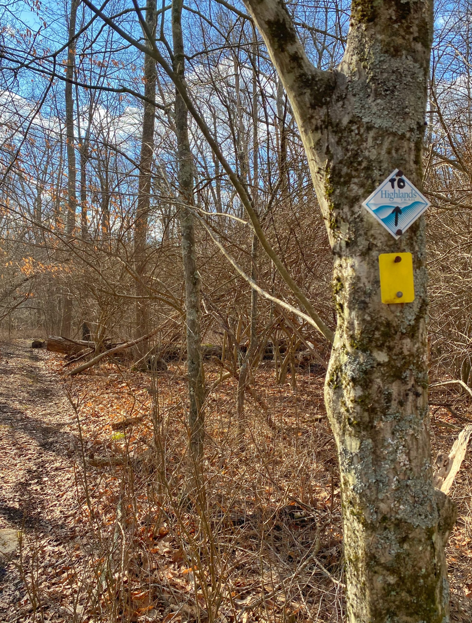

Continue along the Sterling Ridge/Highlands Trail and retrace your steps back to the parking lot at the Visitors Center.