Overview: A moderately easy figure-eight loop in the southern end of Norvin Green State Park that climbs two mountains (Torne Mountain aka “Wyanokie Torne” and Osio Rock) and offers excellent views including from the Stone Living Room on Torne Mountain.
This trail makes our list of best hiking trails in New Jersey. To find other great hikes, check out the whole list.
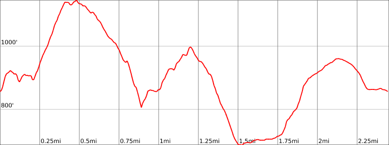
Hike length: 2.45 miles
Elevation gain: +845′
Location: Norvin Green State Park, West Milford, NJ.
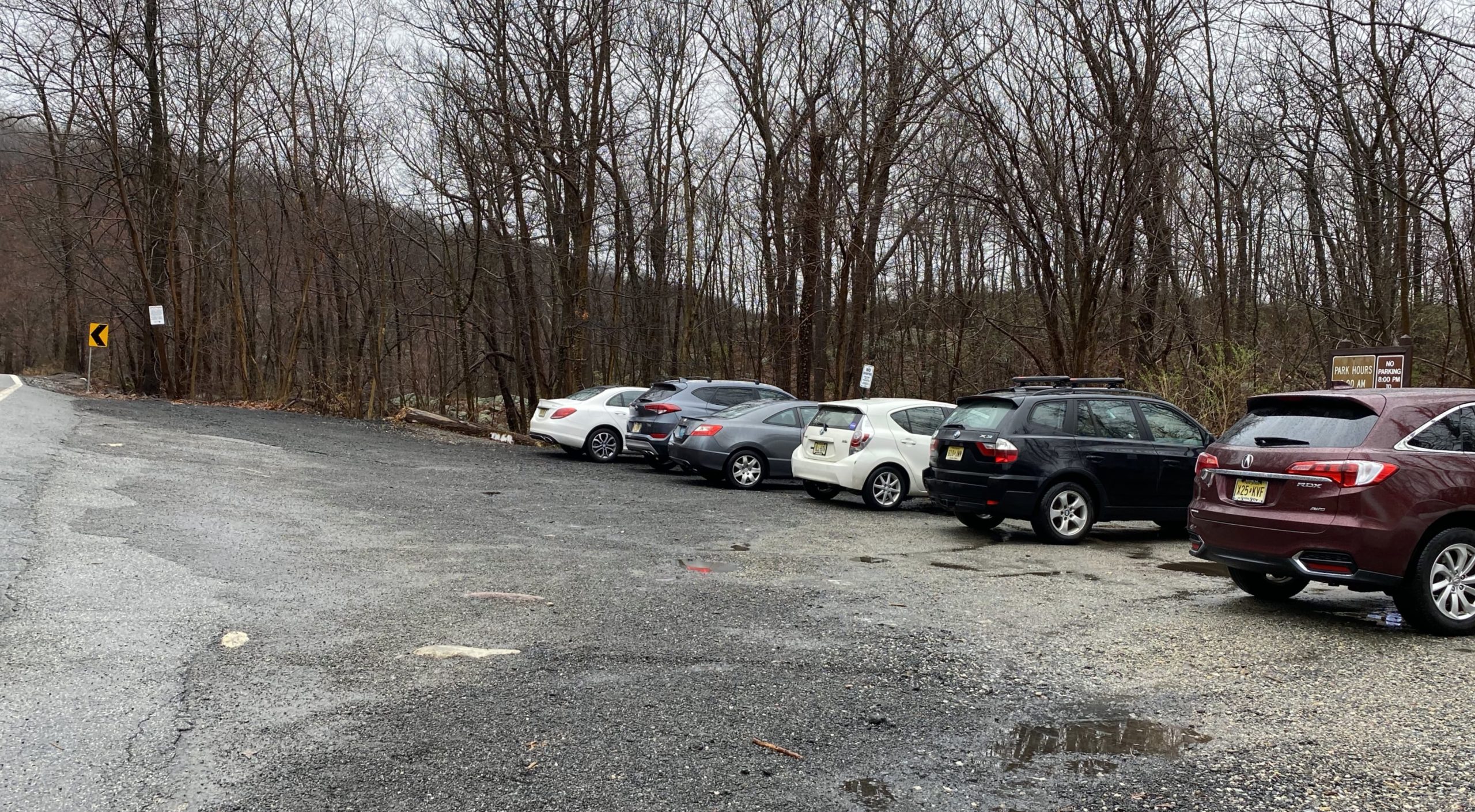
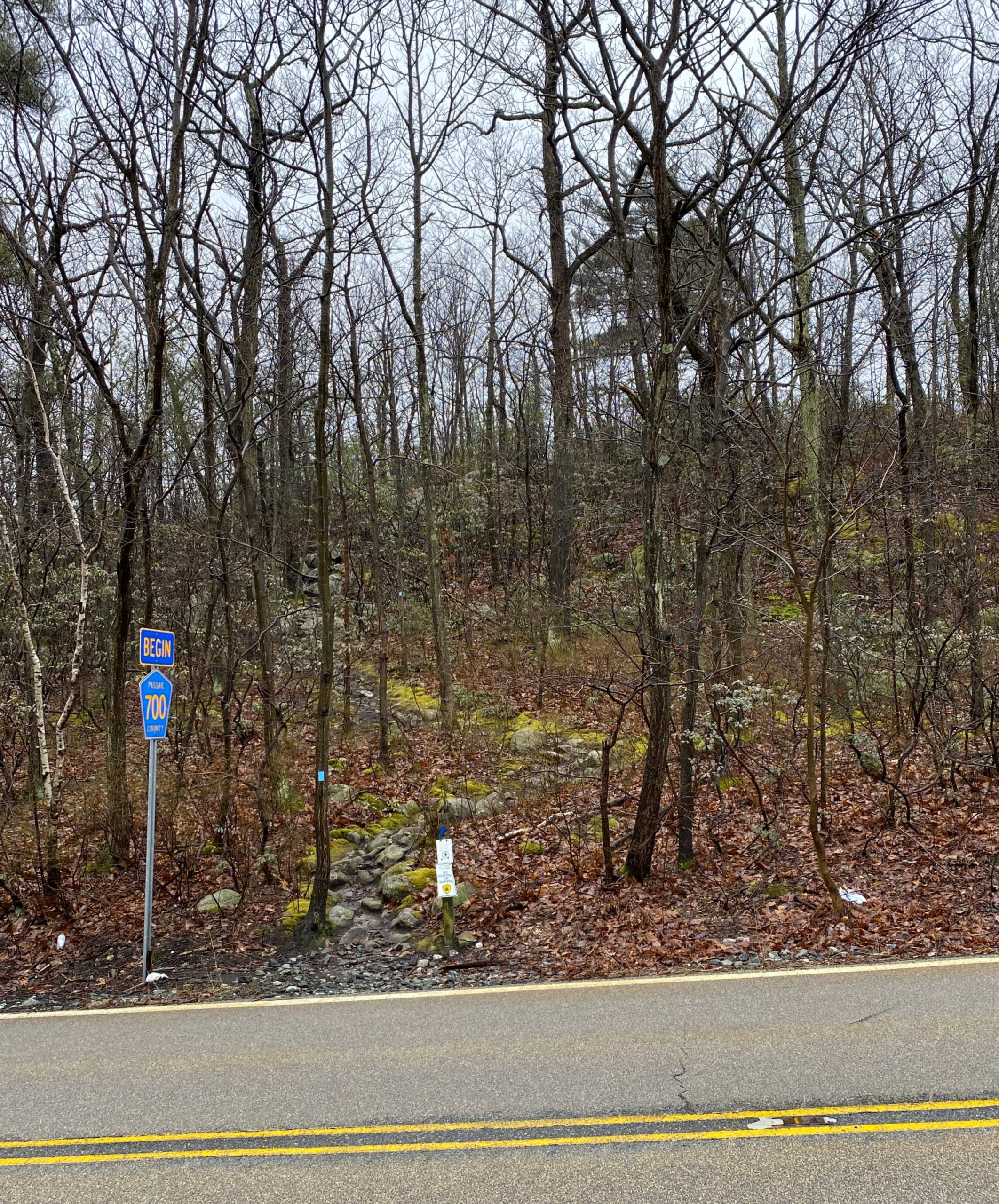
Parking: Park at the Otter Hole Parking Lot on Glendwild Ave, next to the “Welcome To West Milford” sign. In your GPS, use address: 582 Glenwild Ave, Bloomingdale, NJ.
Maps:
- Norvin Green State Forest (South) map (NY-NJ Trail Conference online map)
- North Jersey Trails Map #115 (NY-NJ Trail Conference paper map)
- Norvin Green State Forest map (NJ Division of Parks and Forestry)
Trail description:
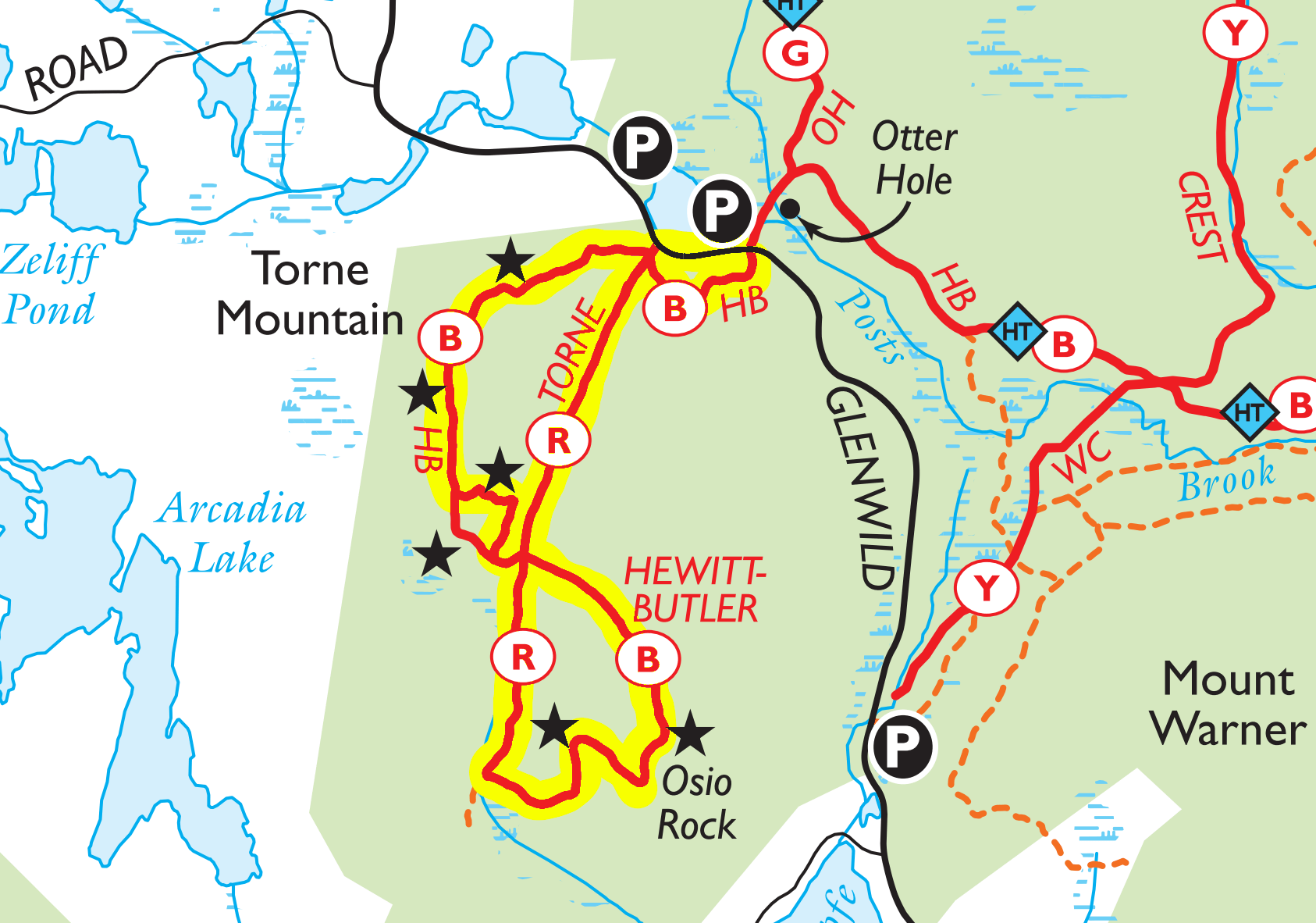
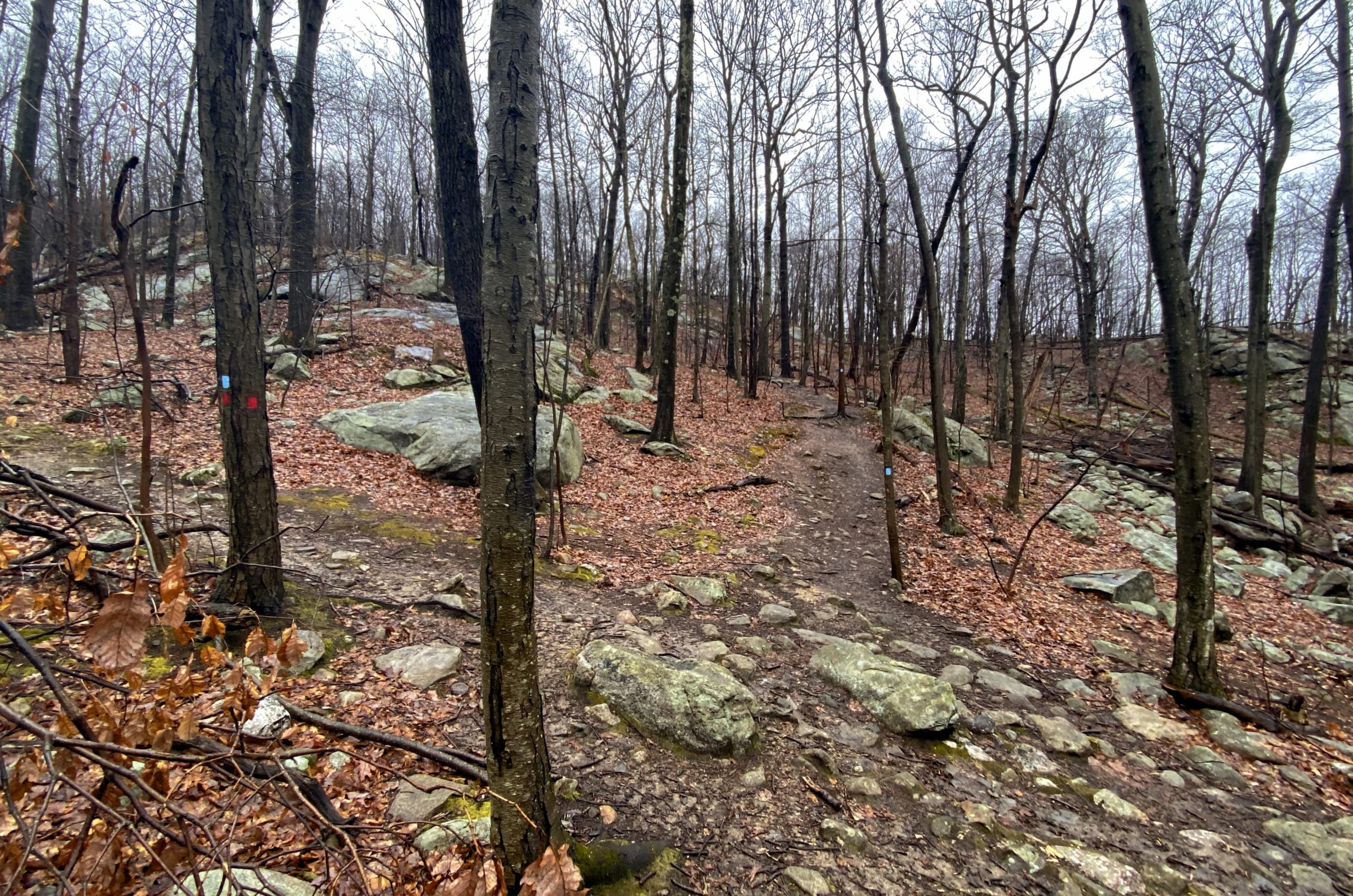
From the southern/eastern end of the parking lot, cross the street and find the blue-blazed Hewitt Butler Trail.
Follow the trail as it rises steeply at first then levels off.

After about 1,000 feet, you will reach the intersection with the red-blazed Torne Trail, which you will take on the way back.
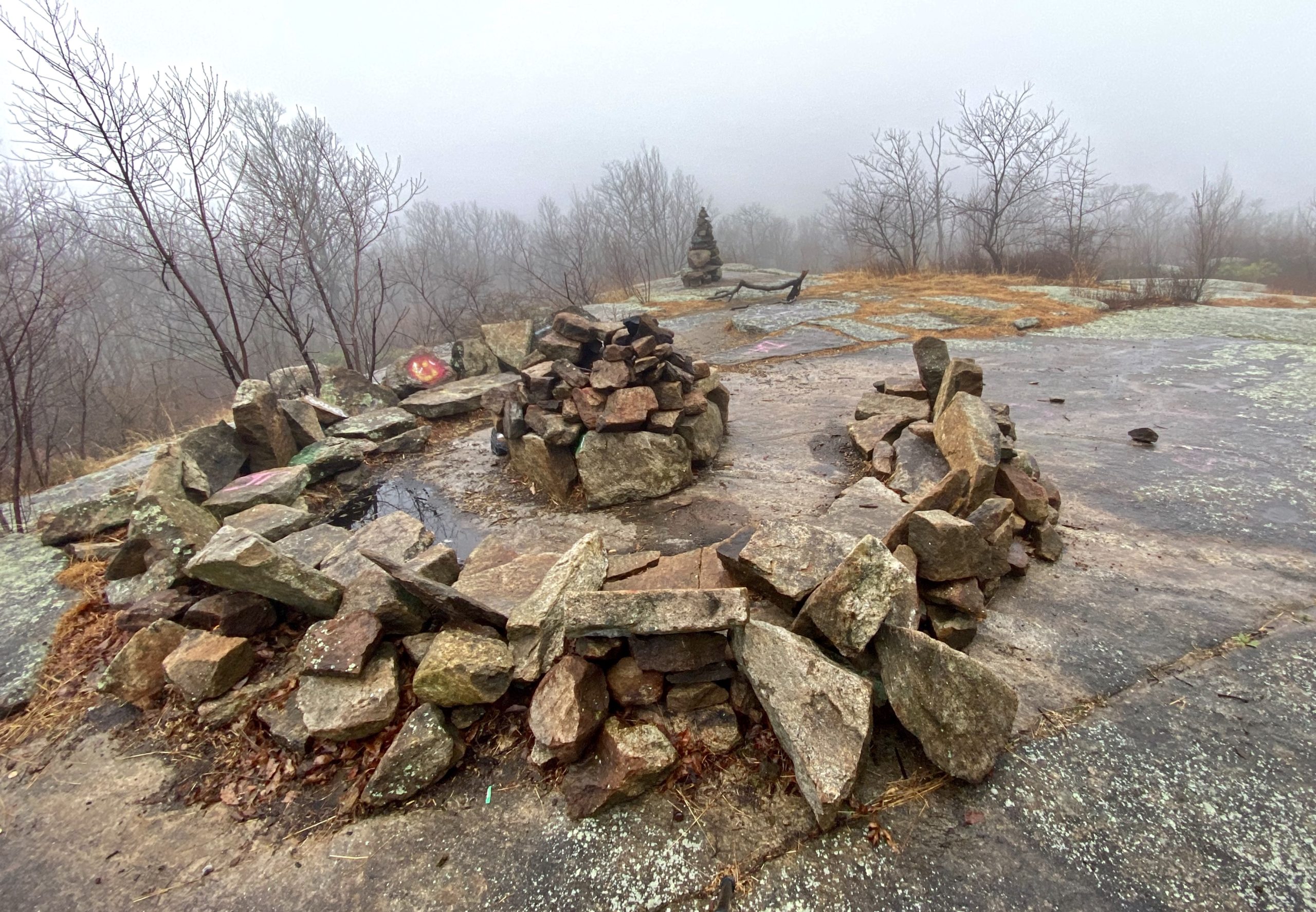
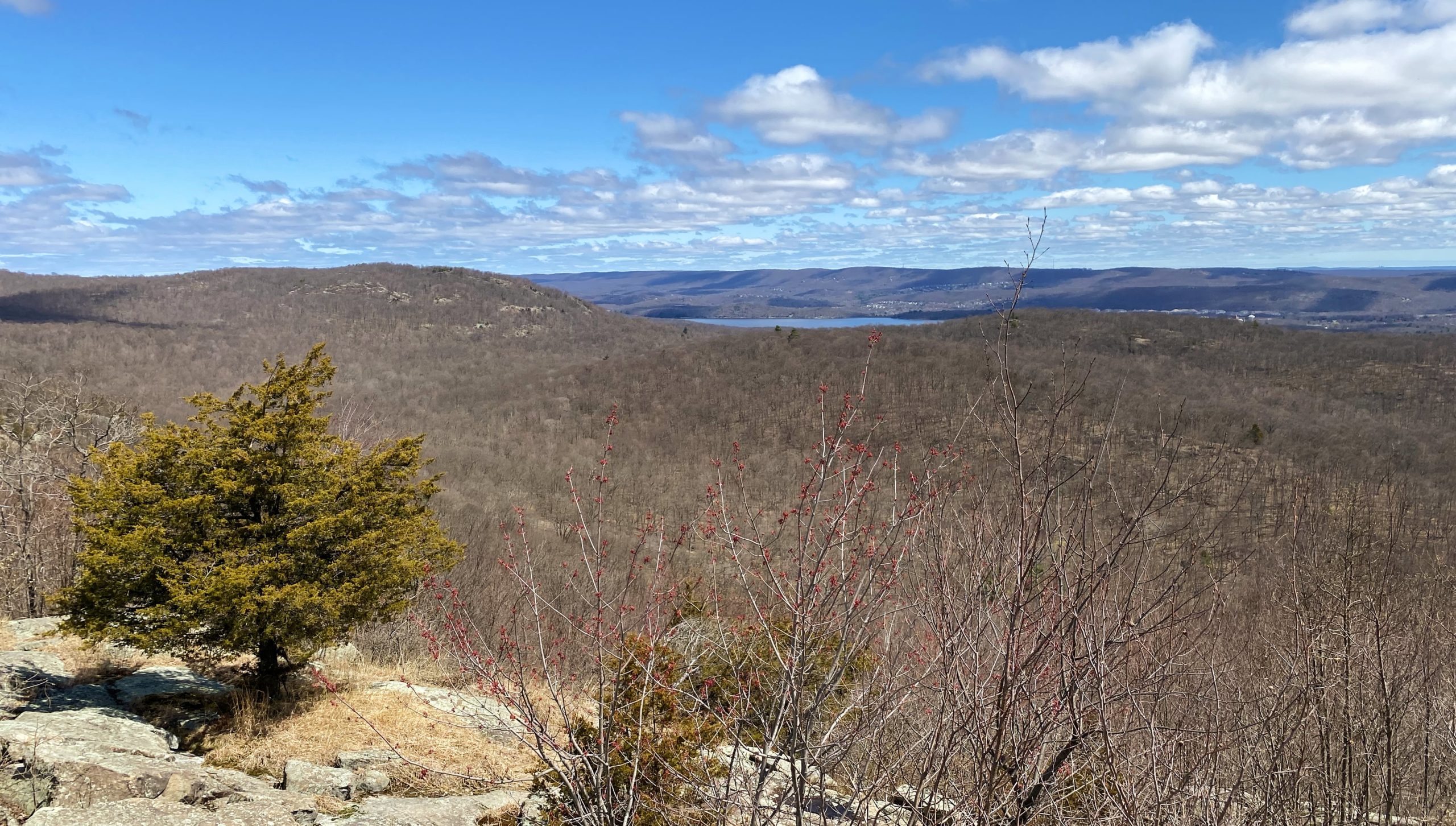
For now, continue straight and begin the quarter mile, 250′ climb up Torne Mountain. Near the summit you’ll come upon an open rock ledge. Look for side trails to your left that take you to a clearing with the famous Stone Living Room.
Tourne Mountain — commonly called “Wyanokie Torne” — is climbed via short but steep sections of the Hewitt-Butler Trail. A scramble on the southern end reveals views of Osio Rock, Bloomingdale, Riverdale, and the Tilcon Quarry. The most popular feature of Tourne is the Stone Living Room. The circular set of stone chairs surrounds a fireplace, along with a separate “recliner”. The backdrop is formed by the soft, rolling hills of the Jersey Highlands, looking into the sunset at the end of the day.
Proactive – The Southern Wyanokies
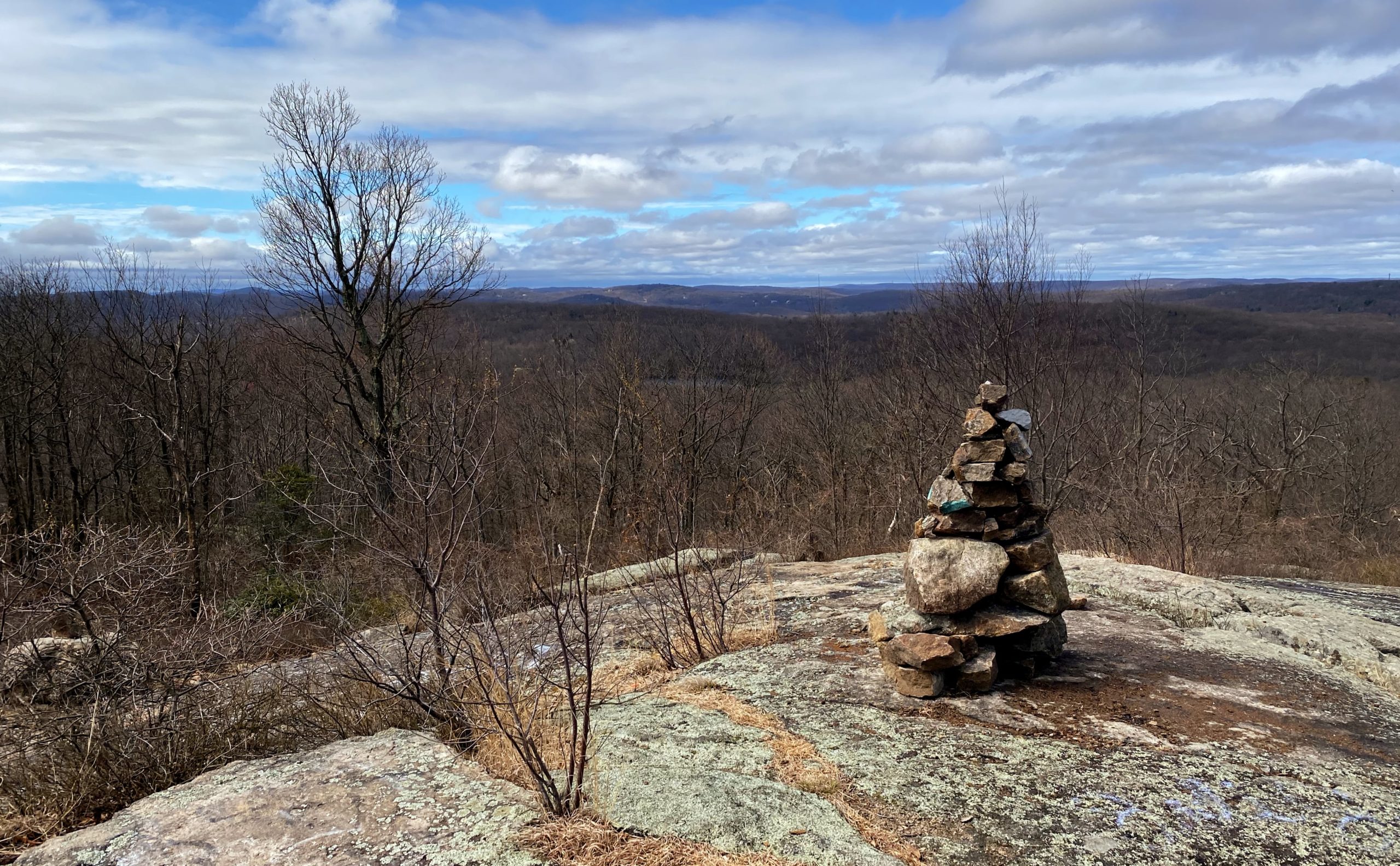
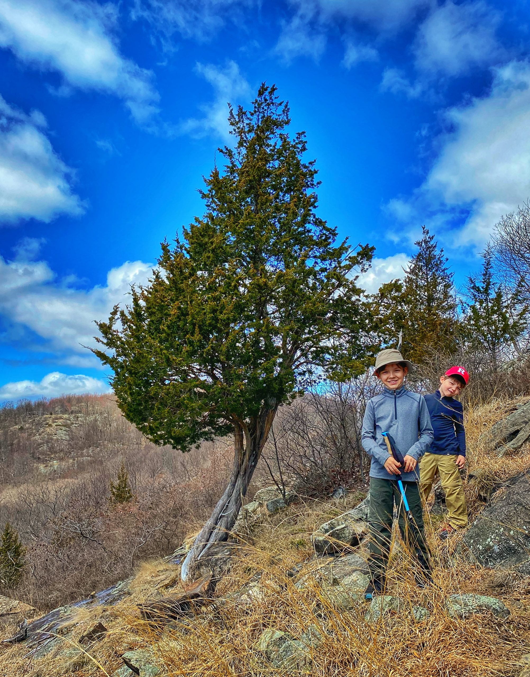
Find your way back to the trail then follow the blue blazes to begin the descent down. You will soon reach a open area with two cedar trees, two balanced glacial erratics, and a stone bench and unobstructed views to the west and south.
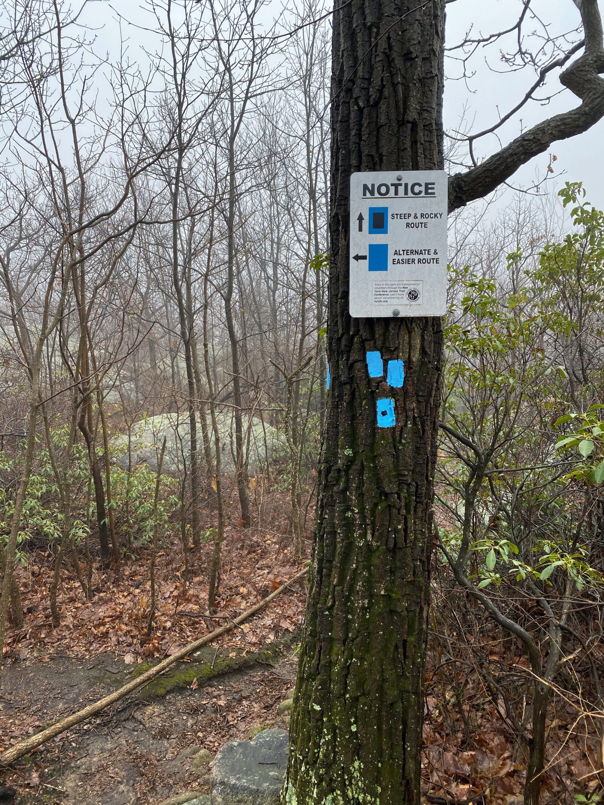
Next you’ll reach a junction where the blue trail splits temporarily into the easier alternate blue trail to the left while the steep and rocky black-dot-on-blue trail continues straight. Turn left to stay on the blue trail unless you want a more hands-on challenge.
Soon, the trail will make a sharp turn to the right and offer a view of a valley with Osio Rock ahead of you towards the right.
After some switchbacks, the black-dot-on-blue and the blue trails rejoin. Follow some log steps steeply down to a junction with the red-blazed Torne Trail which parallels a drainage area and creek for much of the way.

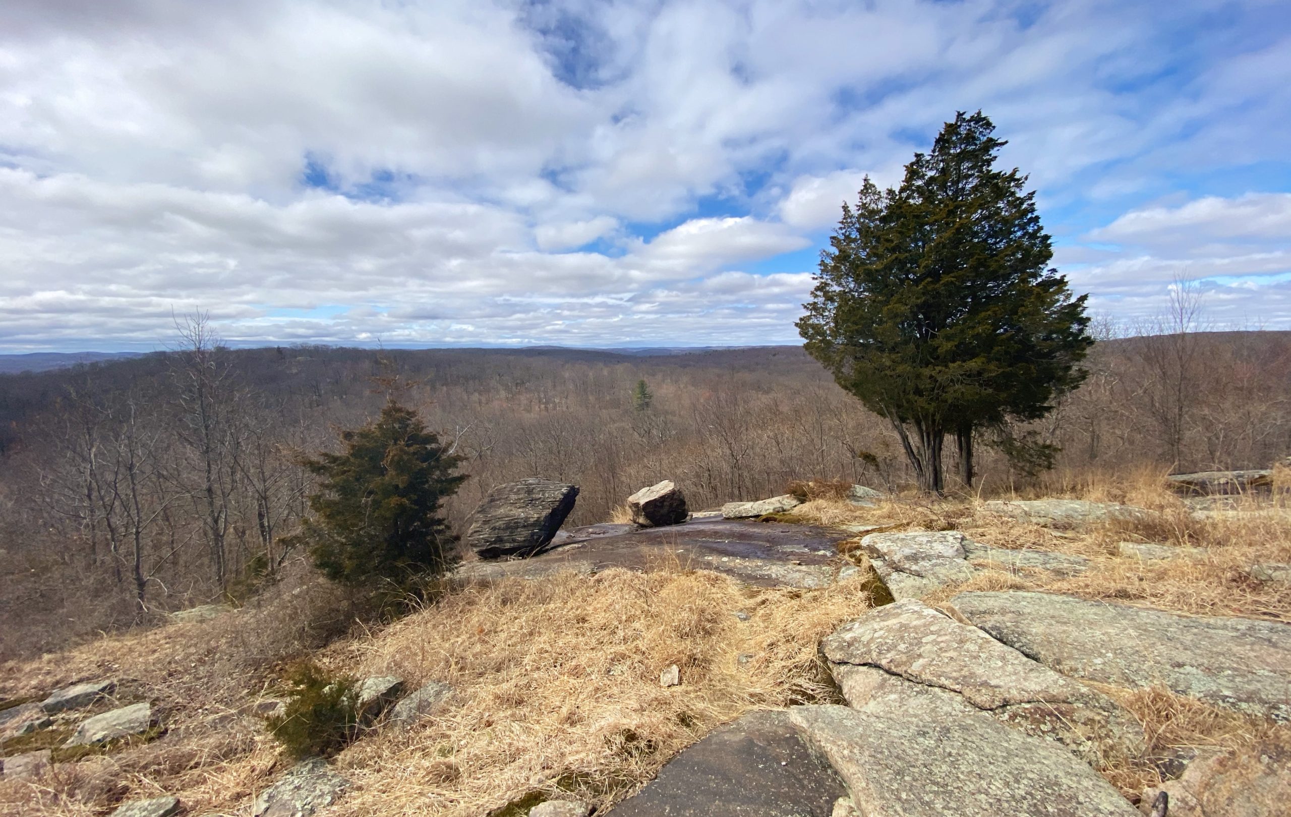
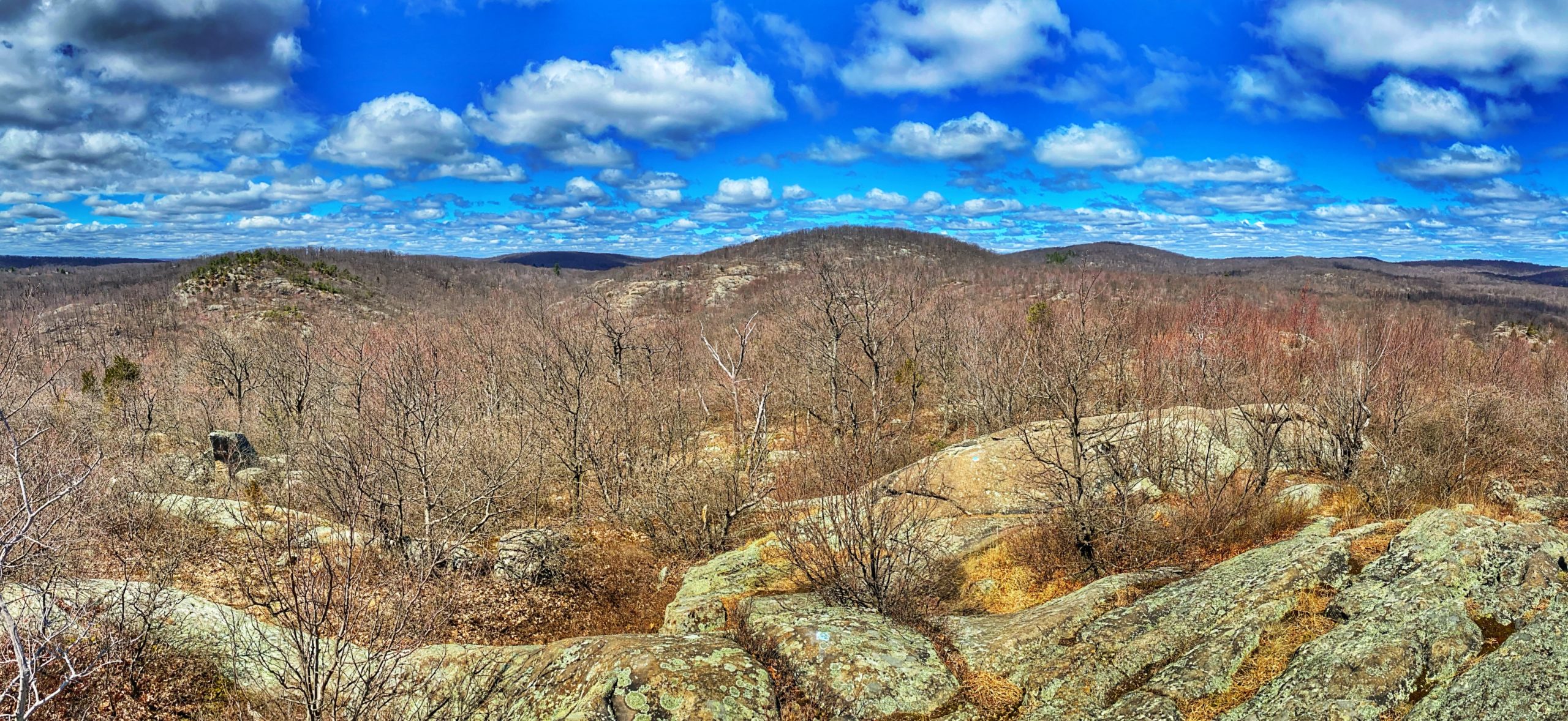
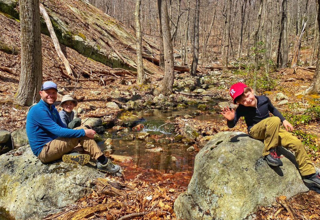
Rock hop across the creek and continue to follow the blue blazes as you climb up Osio Rock. You’ll climb about 200 feet over a third of a mile before reaching the summit of Osio Rock, which offers beautiful panoramic views and is a great spot to take a break.
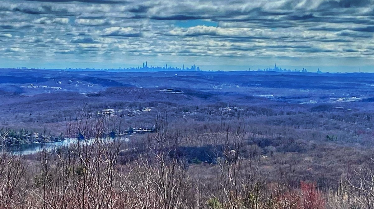
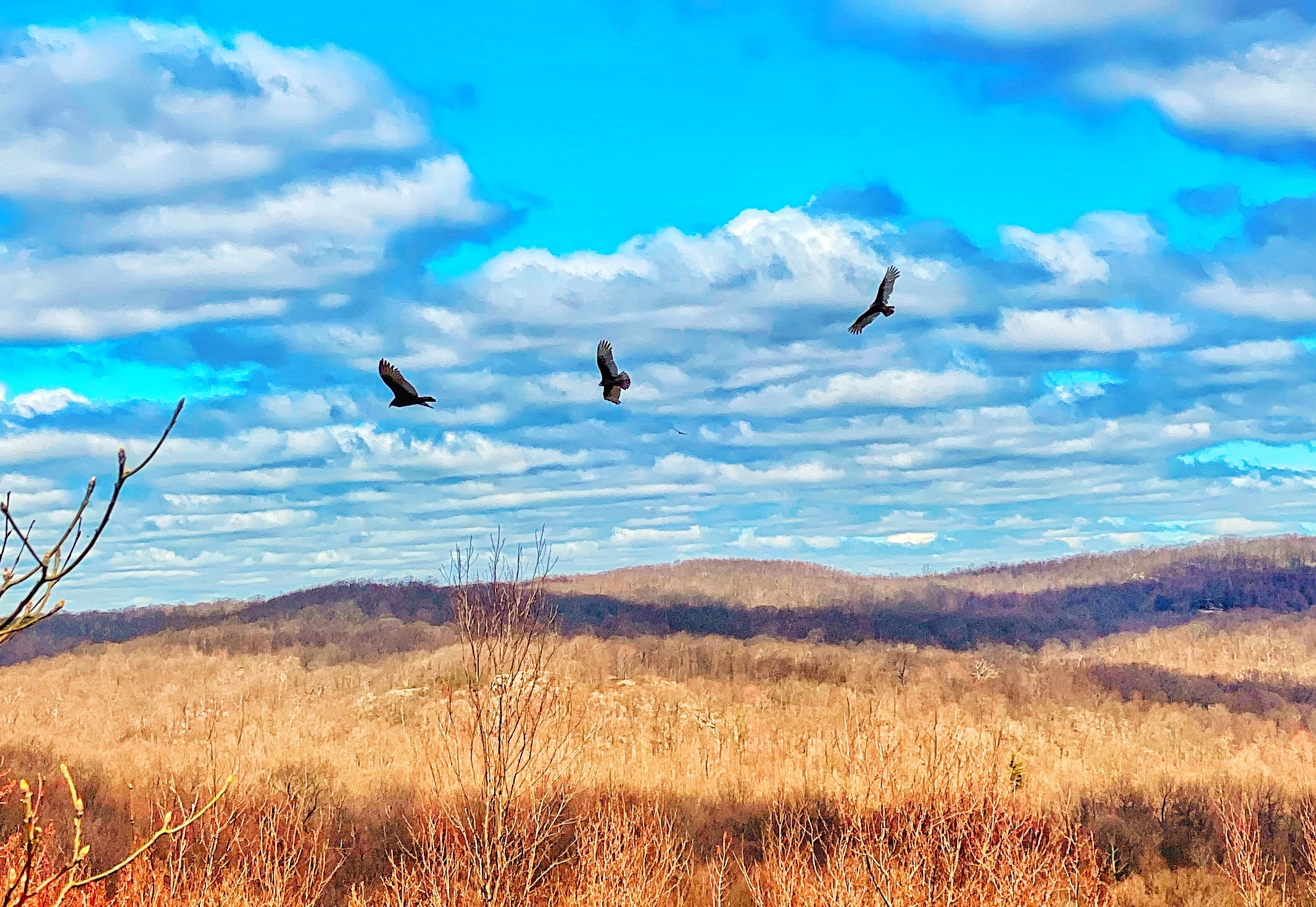
The name “Osio” is a Lenni Lenape word meaning “beautiful view”. Trees have since overgrown the summit, obstructing what was once a 360° view. Still, lines of sight exist towards Carris Hill, Wyanokie Tourne, Buck Mountain, the Wanaque Reservoir, Bloomingdale NJ, and New York City. Additional views are found on the southwest slopes.
Proactive – The Southern Wyanokies

Continue along the blue trail and descend Osio Rock. Along the way you’ll pass an interesting evergreen that looks like it was plucked out of a Dr. Seuss book.
You’ll eventually reach a creek, which the blue trail used to cross on rocks. A sign across the stream notes that the trail is now closed. Do not continue across the creek. Instead, this is where we make a sharp right turn and get on the red trail.

Follow the red blazes north for nearly a mile. You’ll parallel the creek part of the way and gain almost 300 feet, including scrambling over some boulders, as you cross a saddle and then descend again.
The trail will end at CR-700/Glenwild Avenue. Cross the street, turn right, and walk the short distance along the shoulder back to the parking lot. Alternatively: about 50 feet before reaching the road, make a right at the junction with the blue trail and take the trail back to return to your original starting point across from the Otter Hole parking lot.


