Tillman Ravine Overview
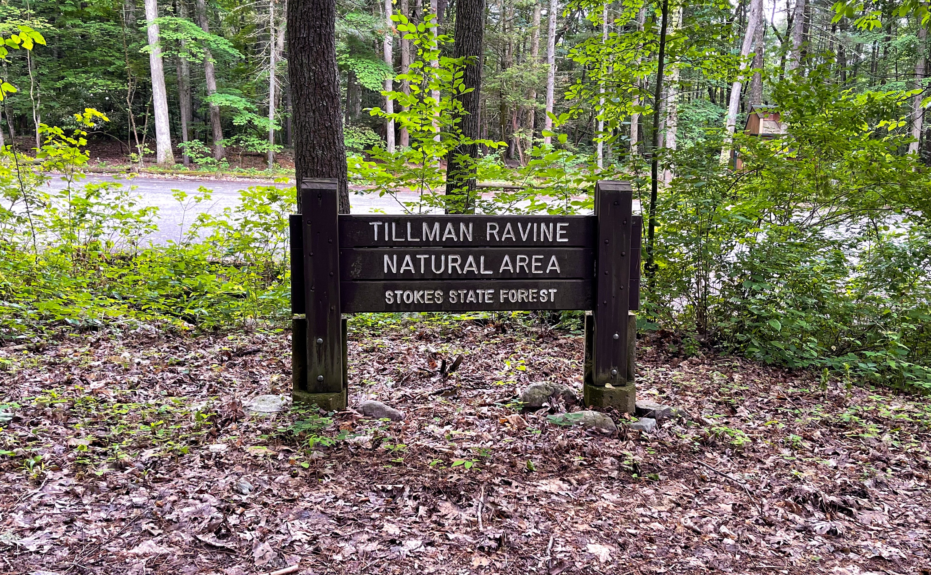
Tillman Ravine is a short but steep kid-friendly trail along a forested creek ravine that features the interesting swirling “Tea Cup” structure at the bottom of a cascade. The area features a mature hemlock grove and an abundance of mountain laurel and rhododendron.
Vehicle access to Tillman Ravine is restricted from December 15 to April 15, or when conditions are hazardous due to weather. Parking during these months is available at the pull off next to the 4H camp.
Tillman Ravine Trail is a short 1 mile looped trail that goes between ridge and ravine and along Tillman Brook, which flows from a spring in the Kittatinny Mountains to the east. The ravine is a narrow red shale and sandstone gorge set among tall hemlock trees. The forested hillsides are thick with hemlock and tulip poplar, with rhododendron and ferns blanketing the ground.
Length: Approximately 1.5 miles
Location: Tillman Ravine Natural Area, Stokes State Forest, Branchville, Sussex County, New Jersey
Tillman Ravine Parking
Park in the lower parking area for Tillman Ravine Natural Area along Dimon Road (Google maps link). You could also park in the upper lot, for a slightly longer hike. There are restrooms at both the upper and lower parking areas.
Tillman Ravine Map
- Delaware Water Gap & Kittatinny Trails Map #122 – NY-NJ Trail Conference (best option)
- Stokes State Forest South web map (NY-NJ Trail Conference free pdf)
- NJ Parks & Forests – Stokes State Forest Trail map

Tillman Ravine Trail description
This trail guide describes a “Figure-8” loop from the lower parking area, to the Tea Cup, along Tillman Brook, and back to the lower parking area.
From the parking area, look for the trail entrance to the left of the restrooms and enter the woods, following the white-blazed Tillman Ravine Trail.
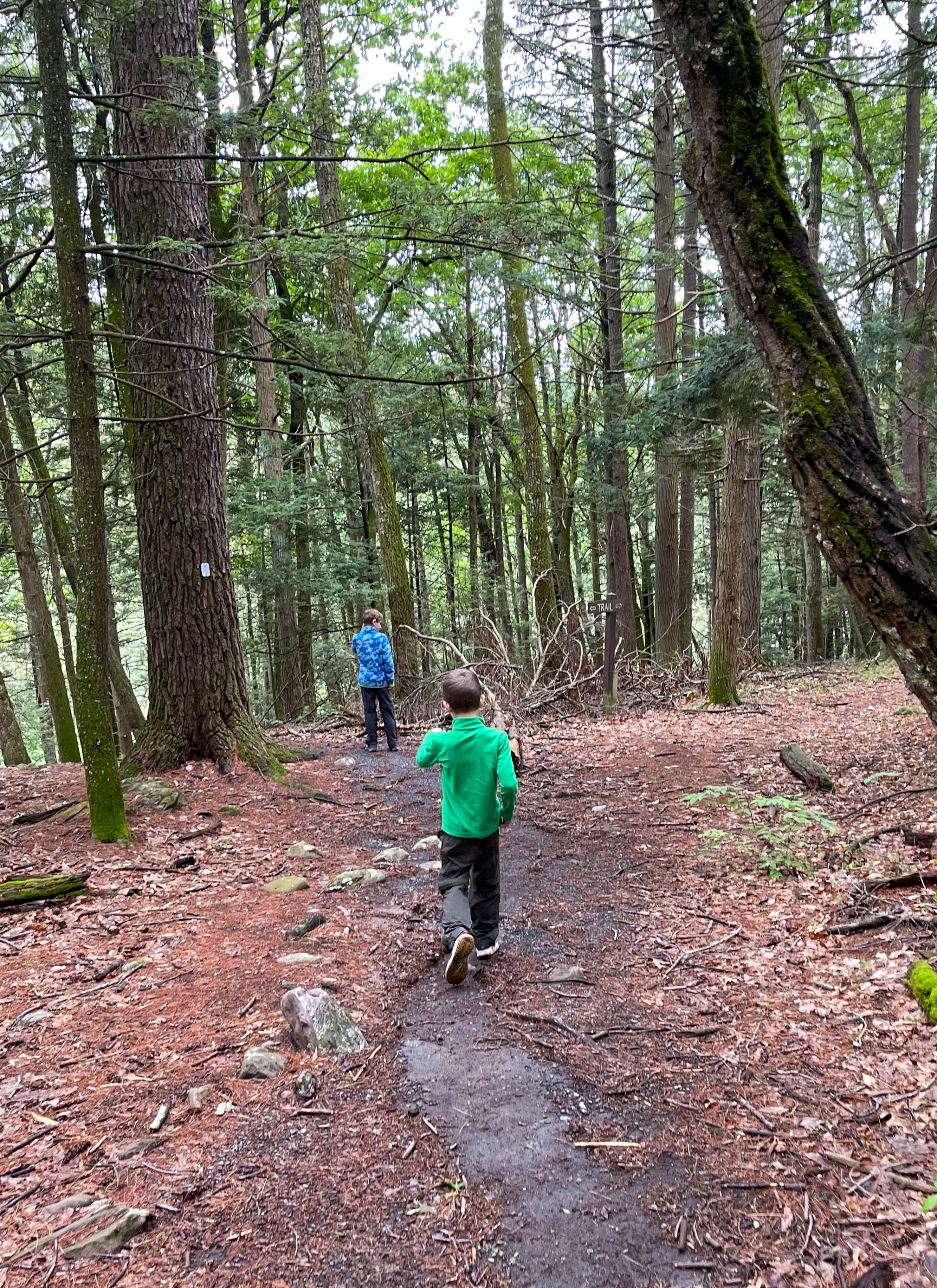
The trail descends into the ravine, and about 250 feet ahead you’ll reach a sign pointing left towards the “Tea Cup” and the start of the green-blazed (and mis-spelled) Cemetery Trail.
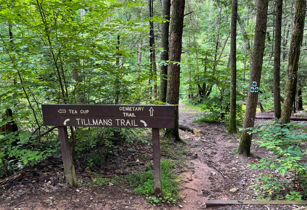
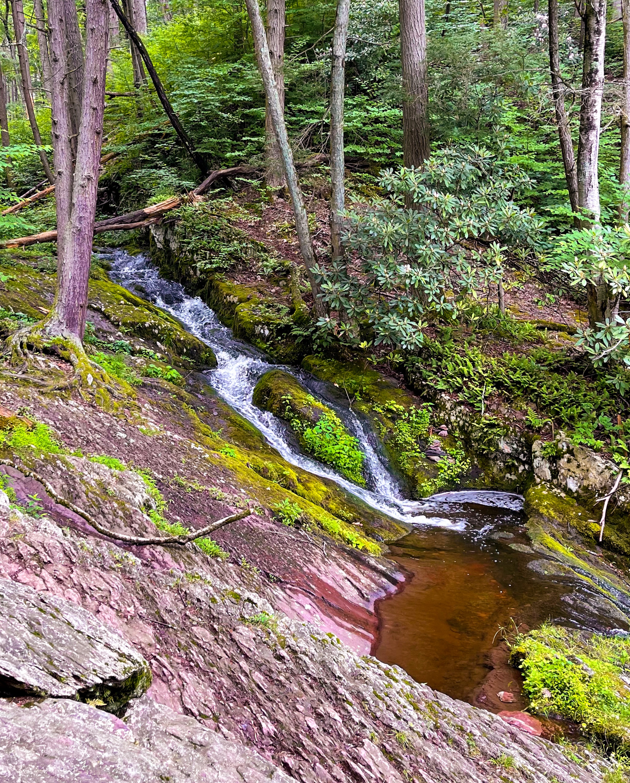
Head left to check out the Tea Cup, an interesting swirling feature at the bottom of a cascade.
Tea Cup
This structure is a pothole, formed by the swirling motion of sand and rock carried by rapidly moving water. This motion deepens and enlarges the pothole, giving it a circular shape and smooth walls. Eventually, the motion will erode the front wall of the pothole, as in the semi-circle formation just below the Teacup.
Natural Areas Inventory: Tillman Ravine, Montclair State University
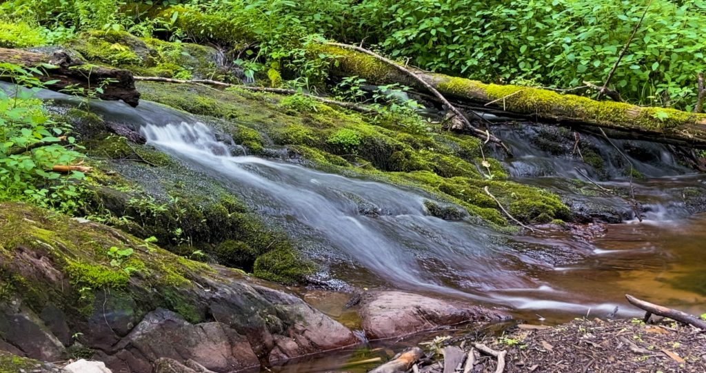
This is the most interesting part of the trail, with several cascades through a lush forest.
From here, follow the white blazes north. You’ll pass through a crevice in a rock.
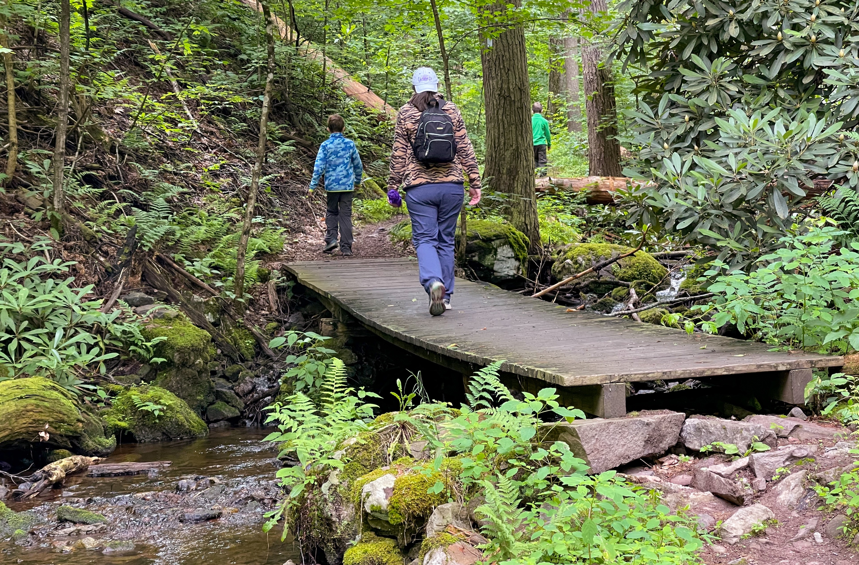
As you continue north, the trail parallels and crisscrosses Tillman Brook several times on wooden footbridges.
You’ll pass a sign pointing towards the Upper Route and Lower Route. Continue straight.

Eventually you’ll reach a set of wooden stairs.
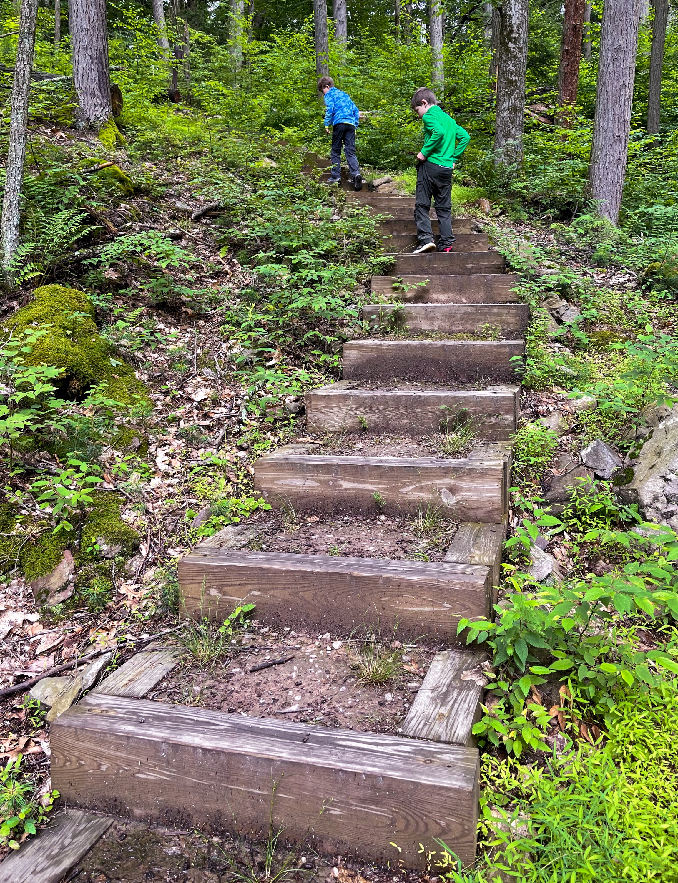
At the top of the stairs, the trail reaches a junction. Take a left to follow the white blazes towards the south and when you reach another junction, turn left again. Continue to follow the white blazes and where the trail forks again, stay right to complete the figure 8 loop and head back to the lower parking area.

