Overview: A 9 mile loop with ridge-line views of Sterling Lake and the surrounding hills and panoramic views from the top of Sterling Fire Tower.
Hike Length: 8.7 miles
Elevation gain: +1,600 feet
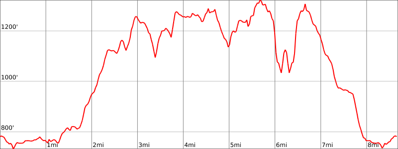
Location: Sterling Forest State Park, Tuxedo, Orange County, NY
About Sterling Forest State Park: The park comprises almost 22,000 acres of nearly pristine natural refuge amidst one of the nation’s most densely populated areas. This unbroken deep-forest habitat is important for the survival of many resident and migratory species, including black bear, a variety of hawks and songbirds and many rare invertebrates and plants.
Other trails in Sterling: Indian Hill Loop
U.S. Senator Frank R. Lautenberg Visitor Center: The park has a beautiful visitor center. If you’re wondering why a New York state park has a visitor center named after a U.S. Senator from New Jersey, it’s because his family donated $1.75 million towards the construction of the building (he also advocated for federal funding to buy Sterling Forest and protect it from development):
Sen. Frank Lautenberg remembers falling in love with Sterling Forest about six years ago when he went hiking in the vast woodlands with then-Interior Secretary Bruce Babbitt.
Affection opened his wallet, and the New Jersey Democrat shelled out $1.75 million to build a visitor center in the park.
Yesterday, the white-haired senator gushed as he stood in front of the new, wooden building that bears his name — his legacy to Sterling Forest.
“The only words I have are, wow, fantastic, how beautiful,” Lautenberg said. “How gratifying it is to see this.”
He made the gift, he said, because “I always believed that what you get out of this country you pay back, if you really care about it.”
The Times Herald-Record, May 31, 2003

Parking: Park in the lot near the visitor center (not directly in front – that is short term parking). GPS Address: 116 Old Forge Road, Tuxedo, NY 10987
Map:
- Sterling Forest State Park (NY State Parks)
- NY-NJ Trail Conference Sterling Forest Trails (Trail Map #100)
- National Geographic – Harriman, Bear Mountain, Sterling Forest State Parks Map
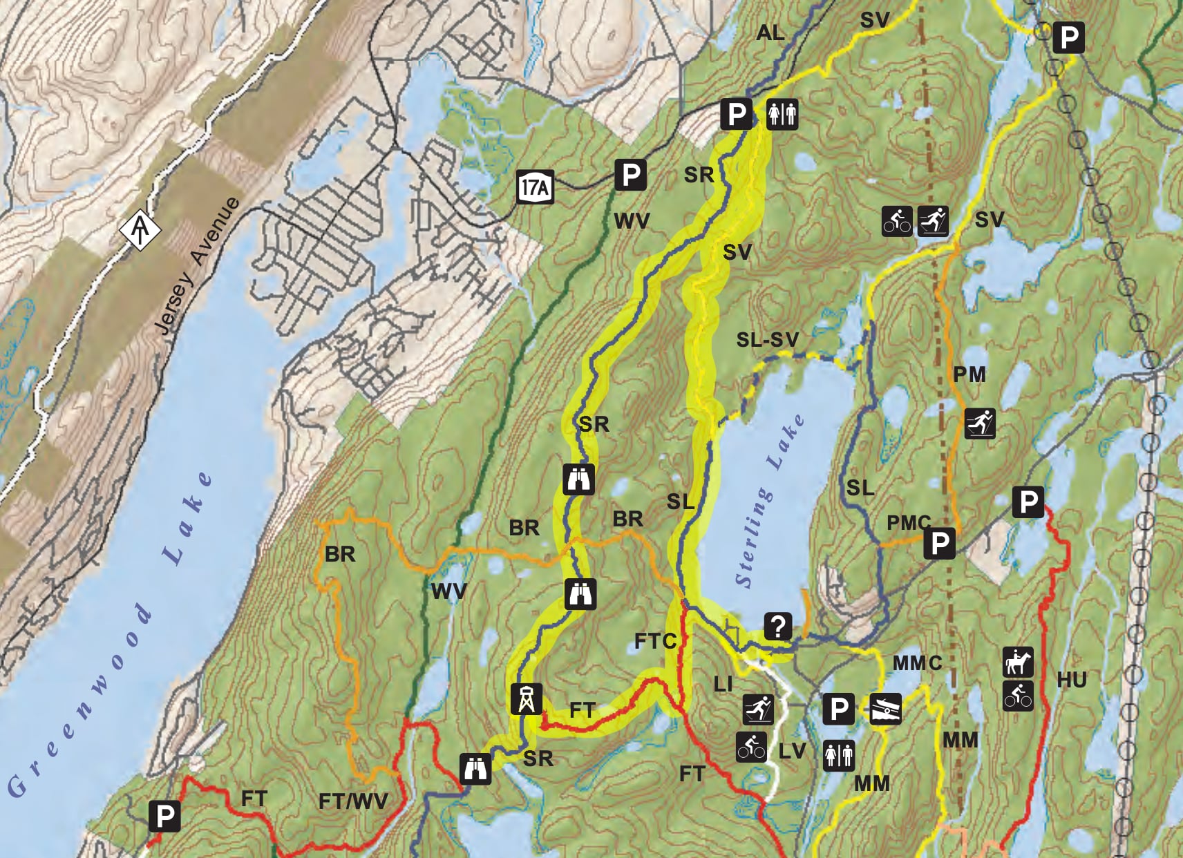
Trail Description:
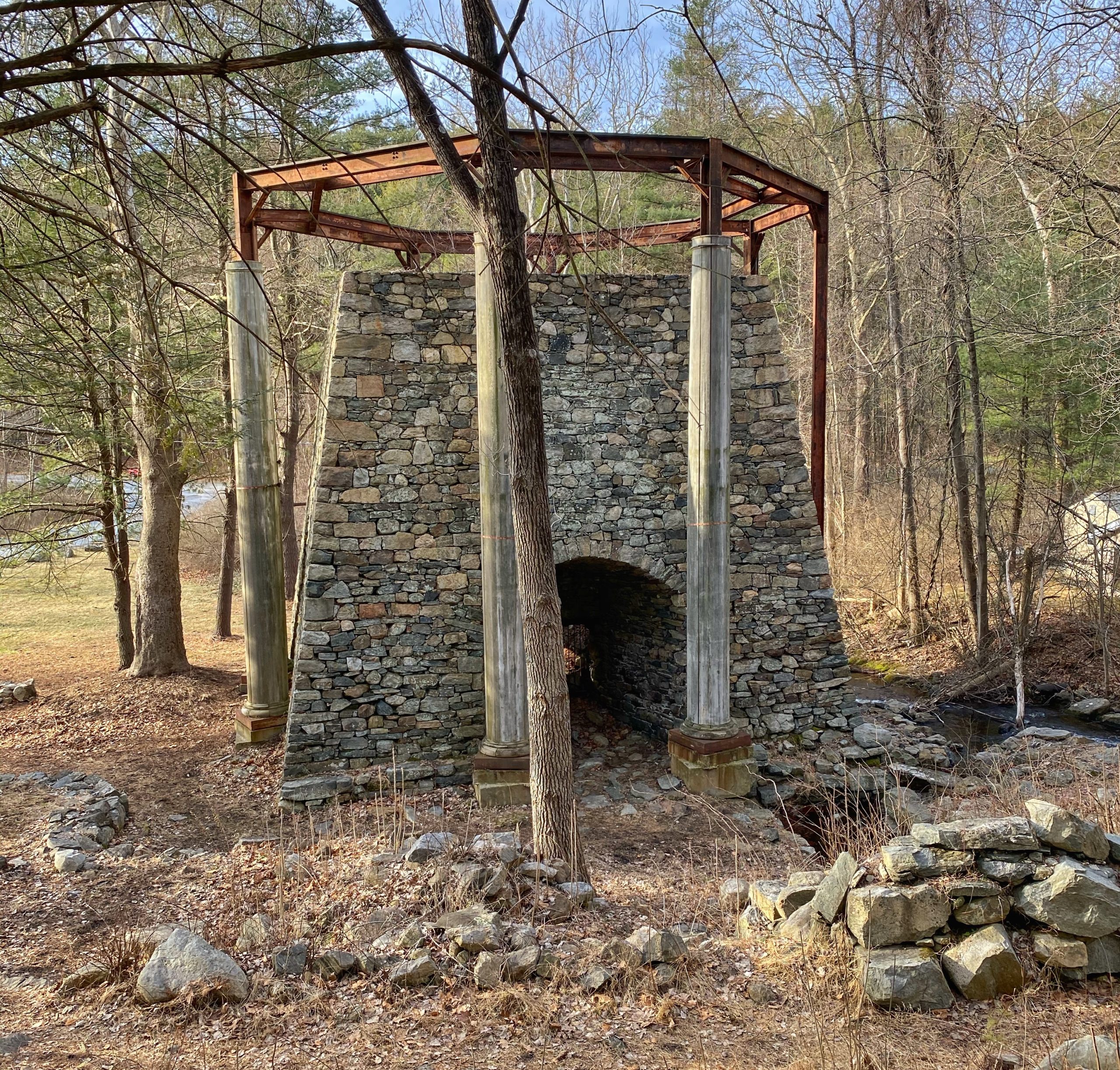
Starting at the Visitor Center, follow the Sterling Lake Loop blue blazes right, past an old church foundation and into the woods. A little further you will see the remains of the Sterling Furnace on your left.
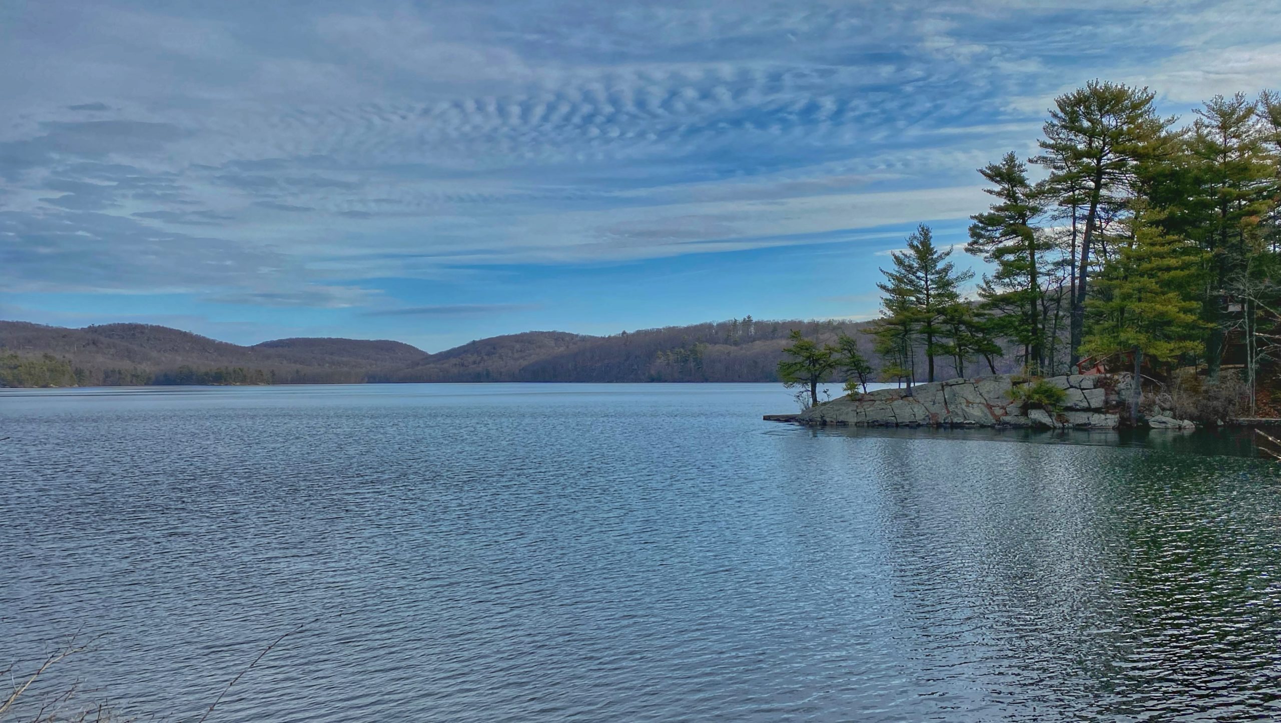
Shortly after, you’ll get your first nice view of Sterling Lake. After crossing a wooden bridge, the trail dips down to the left and begins to follow West Sterling Lake Road. You’ll then be greeted with another view of the lake.
Follow the blue blazes for 0.7 miles until the trail forks. Go left to follow the yellow-blazed Sterling Valley trail. The trail will climb for 1.65 miles at which point it intersects the blue-blazed Sterling Ridge Trail. The sign notes that the fire tower is 2.8 miles away.
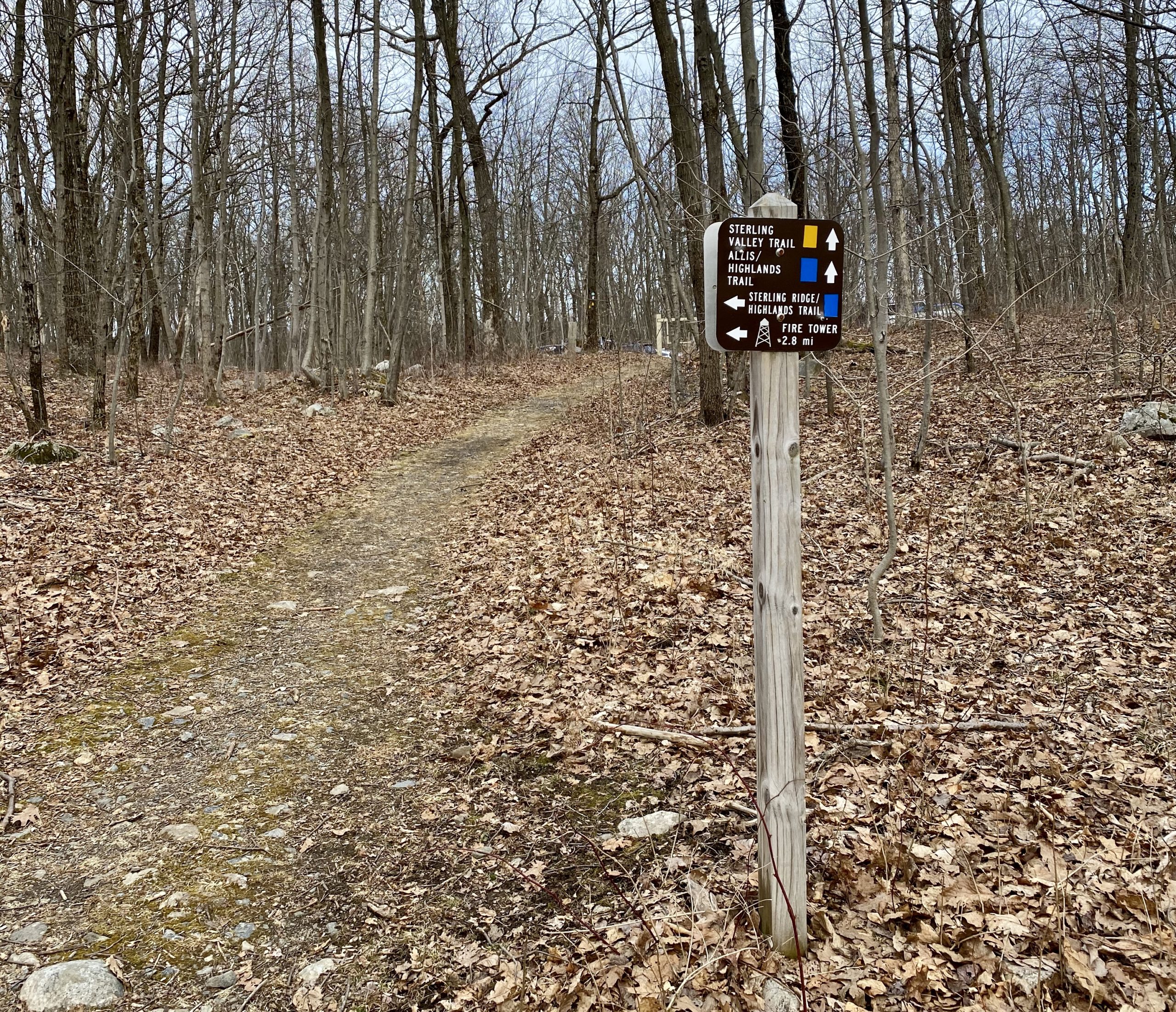
Make a sharp left turn onto the Sterling Ridge Trail, which is co-aligned with the turquoise-blazed Highlands Trail. As the name would suggest, the Sterling Ridge Trail provides several ridgeline views along the way. After 1.6 miles, you’ll reach the first clearing with easterly views.
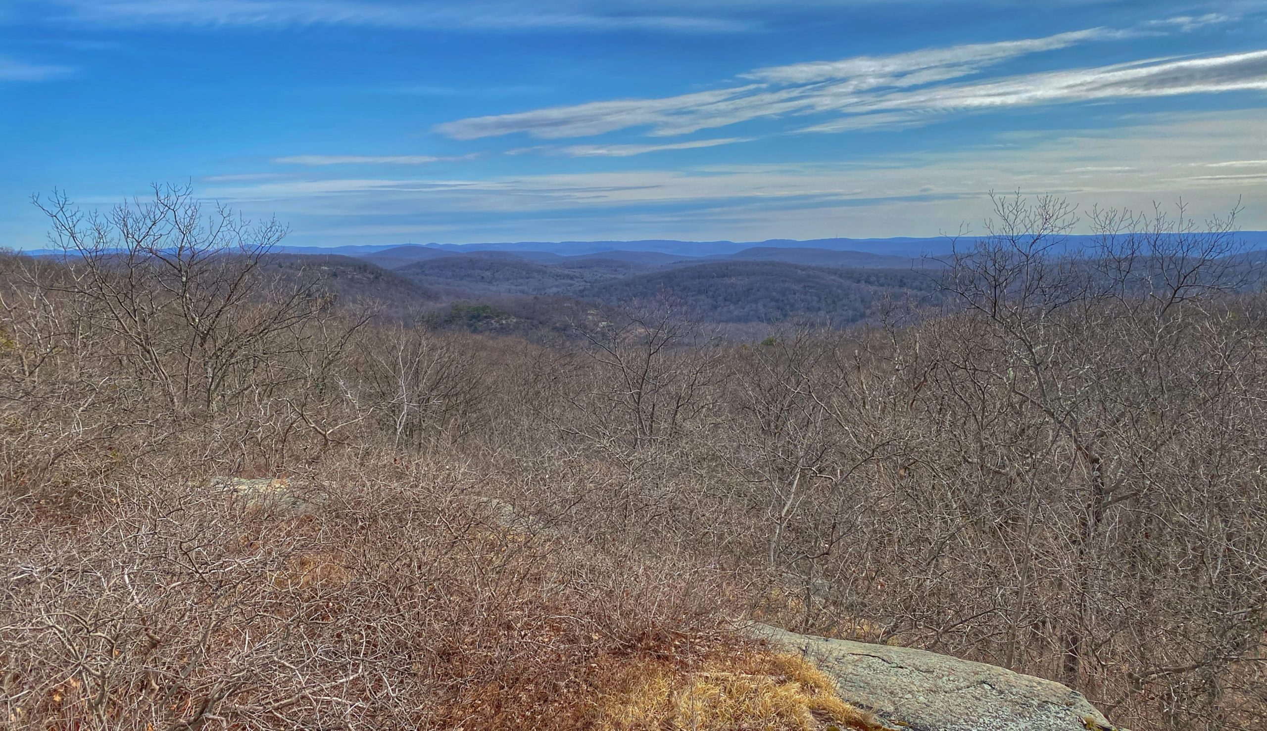
As you continue for 0.85 miles to the junction with the orange-blazed Bare Rock Trail, you will pass two additional viewpoints.
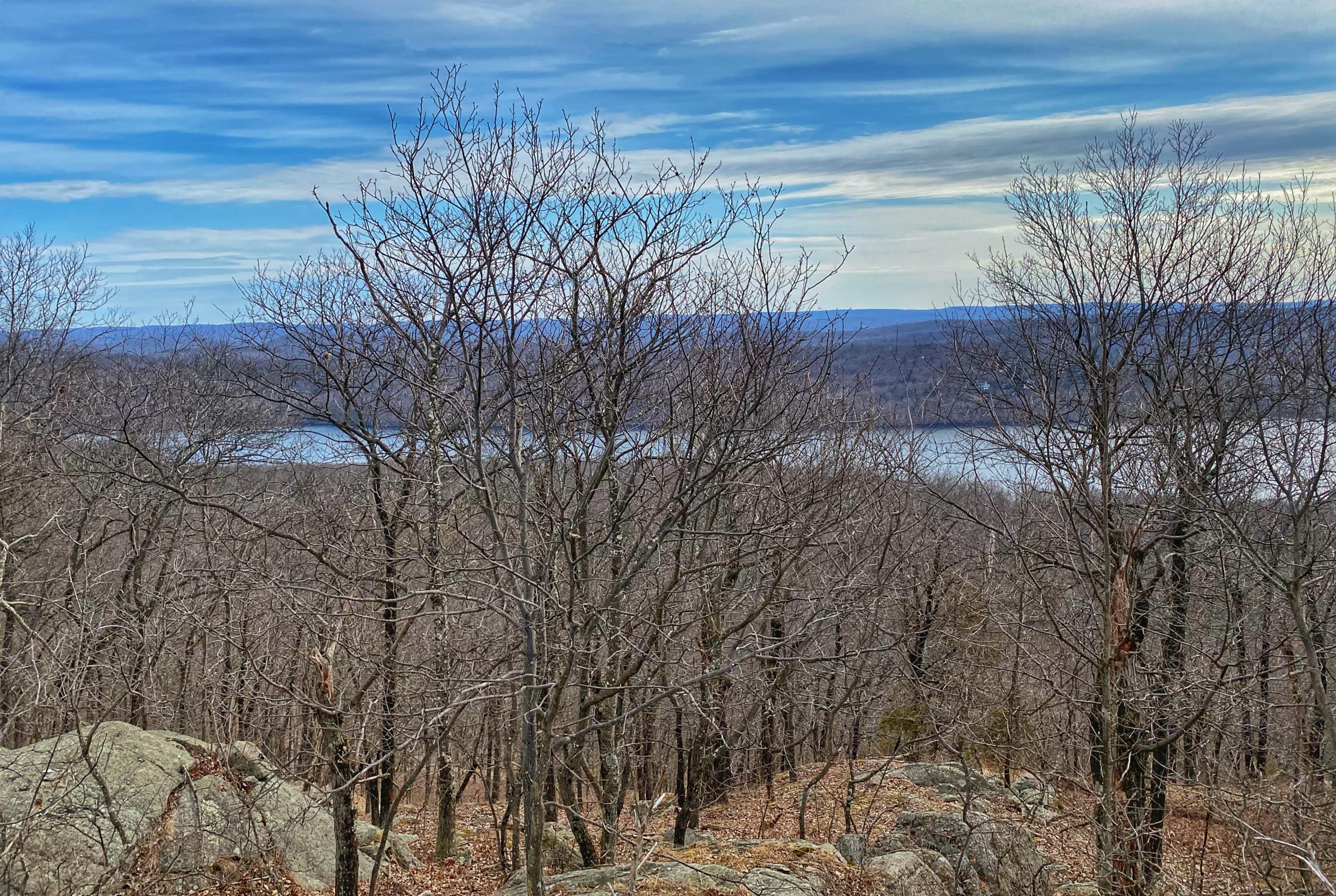
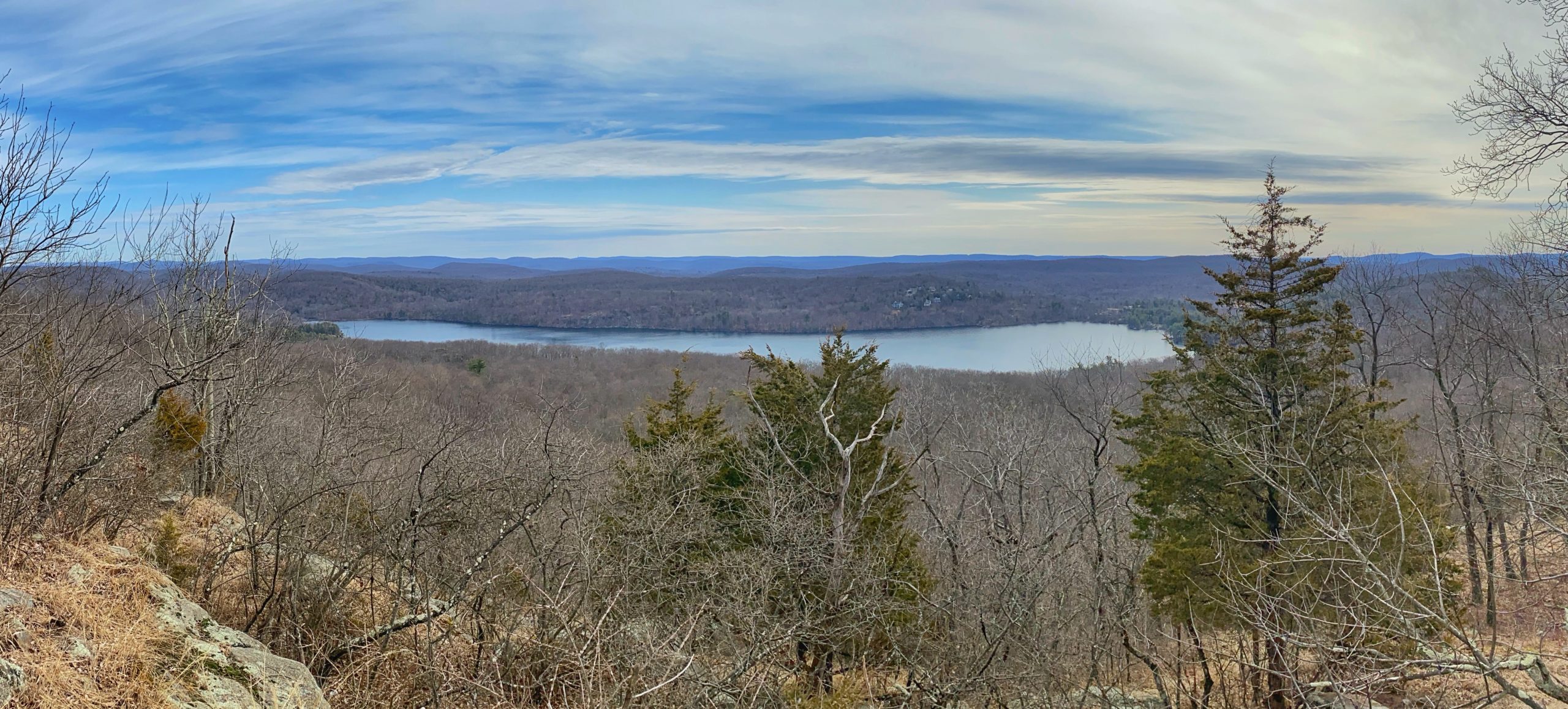
When you reach the junction with the orange-blazed Bare Rock Trail, continue to follow the blue blazes by turning slightly to the left.
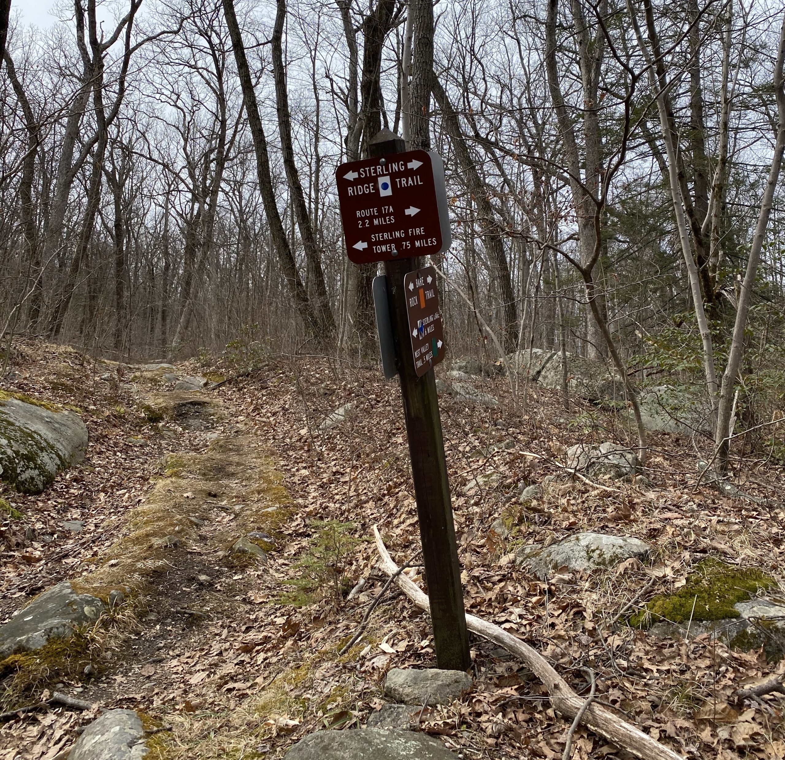
About a quarter mile further, you will reach an additional viewpoint.

Finally about 3/4 miles after the junction with the Bare Rock Trail you will reach the Sterling Fire Tower.

A picnic table at the base of the tower make this a great spot to rest and have a snack. For views, you must climb the tower – the trees obscure the views at the ground level.


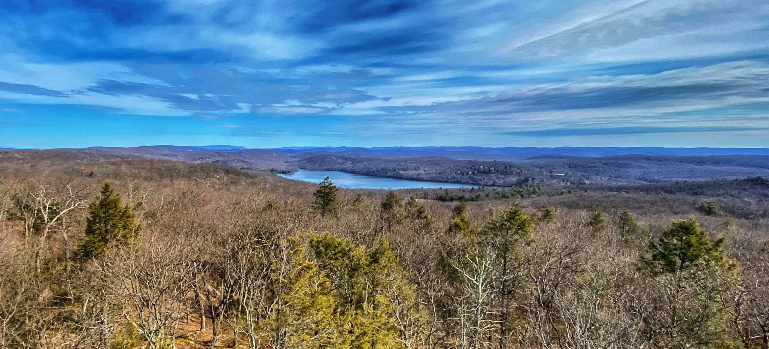
From here, you could head back to the visitor center via the directions below or make a detour to one more viewpoint. If you want the detour, continue to follow the blue-blazed Sterling Ridge Trail about 2/3 mile further to an additional viewpoint (this part of the trail is co-blazed with the red Fire Tower Trail). From here you’ll have views to the west.

From here, turn around, and return to the fire tower.
From the fire tower, return to the visitor center by taking the white stripe-on-red blazed Fire Tower Trail for 0.95 miles, making a left on the red-triangle blazed Fire Tower Connector for 0.5 miles, and turning right on the blue-blazed Sterling Lake Loop for 0.65 miles.


