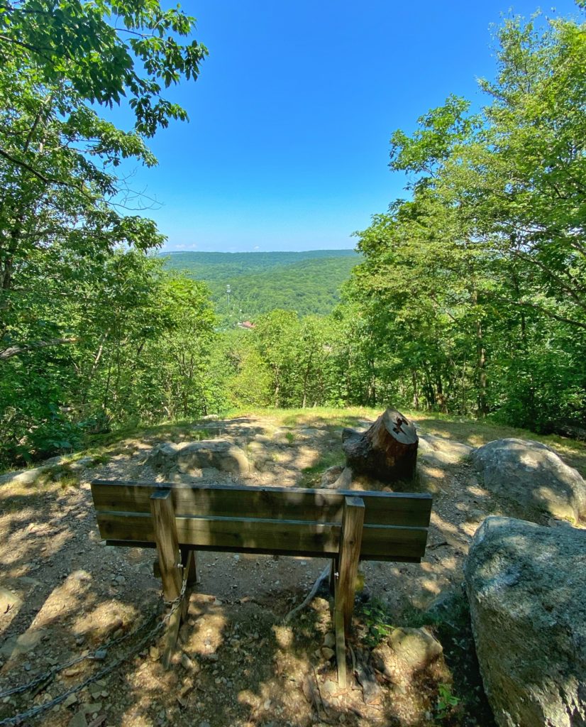
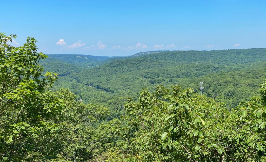
Overview: This relatively easy 3.5-mile loop in Silas Condict County Park follows the white, red, and blue trails and goes through a rock tunnel and offers multiple scenic overlooks of the Ramapo Mountains and Canty’s Lake.
About Silas Condict: The Park was named for the Revolutionary War Patriot, Silas Condict, a farmer, surveyor, and politician who lived in Morris County. Silas Condict’s political career began in 1775 when the Freeholders elected him as a delegate to the Provincial Legislature. He was a member of the committee that drafted New Jersey’s first Constitution and was appointed President of the Committee of Safety. Silas Condict also served as a member of the Continental Congress, and was appointed Deputy Surveyor of the lands of the Eastern Division of New Jersey. He was elected to the New Jersey House of Assembly and served as its speaker in 1792-94 and again in 1797.
Hike Length: 3.5 miles for the white-red loop. Extra 0.5 miles for the blue trail.
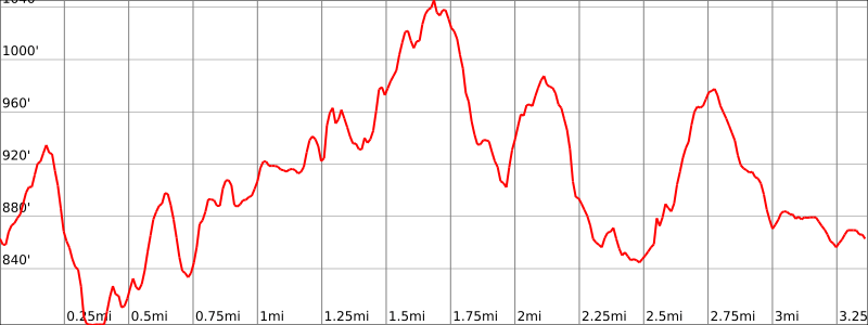
Elevation Gain: +800′
Location: Silas Condict County Park, Kinnelon, Morris County, New Jersey
Parking: Park in the lot near the trailhead for the White trail (southwest part of the parking lot). Use address 100 Kinnelon Rd, Kennelon, NJ.
Maps:
- Silas Condict County Park map (Morris County)
- Silas Condict County Park (NY-NJ Trail Conference) – map is from 2011 and very outdated.
- NY-NJ Trail Conference – Jersey Highlands Trails (Central North Region) map #125

Trail Description
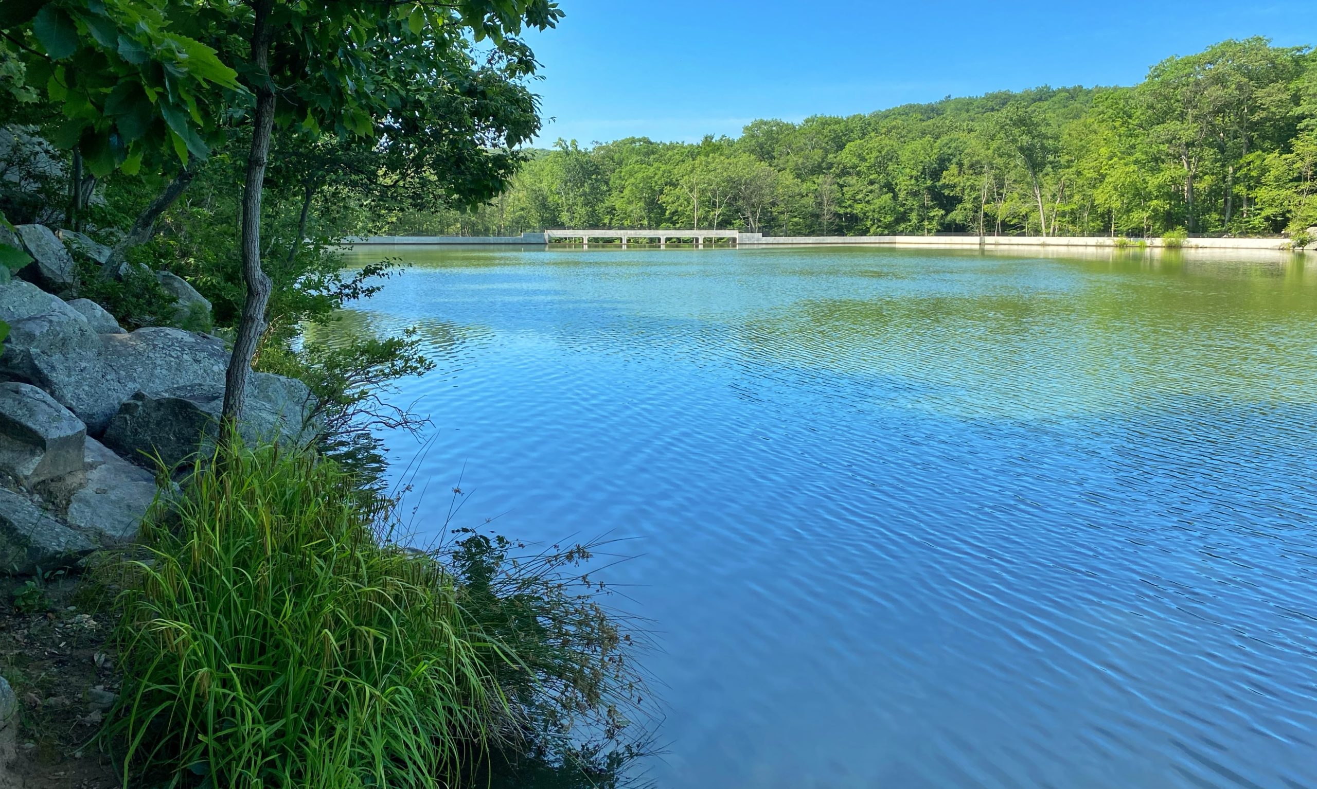
Starting at the south western end of the parking lot, enter the woods and follow the white blazes. You’ll soon reach a clearing on your right with a bench and views of Canty’s Lake.
You’ll reach a few partial viewpoints to the west.
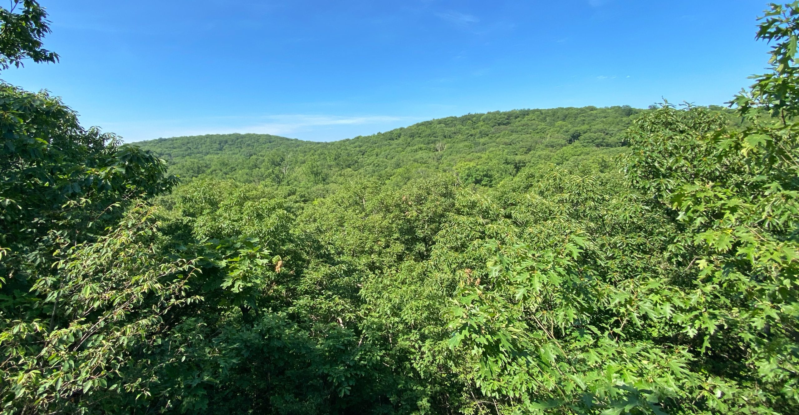
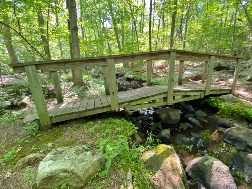
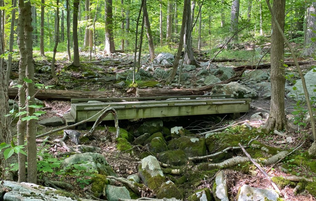
Next you’ll cross a pair of bridges over small creeks.

A little less than a half mile further, you’ll reach a junction with the yellow trail – the newest trail in the park. Next, you’ll reach Cave Tunnel, an interesting rock formation that you can walk through.
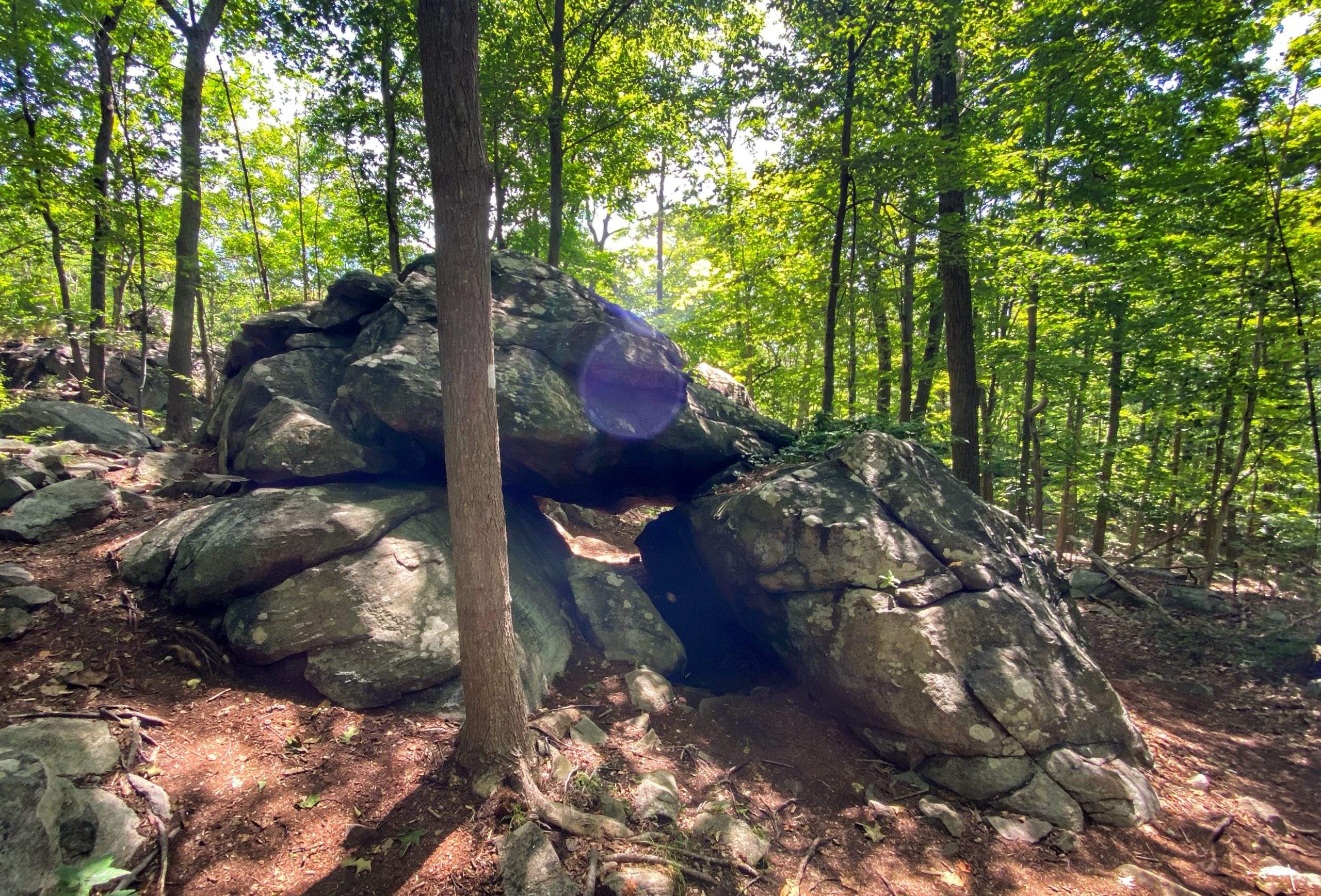
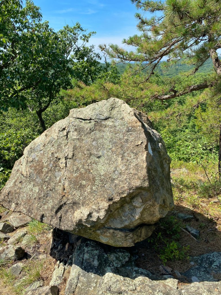
Following the Cave Tunnel is the nicest part of the trail, including several viewpoints and nice ridgeline scenery.
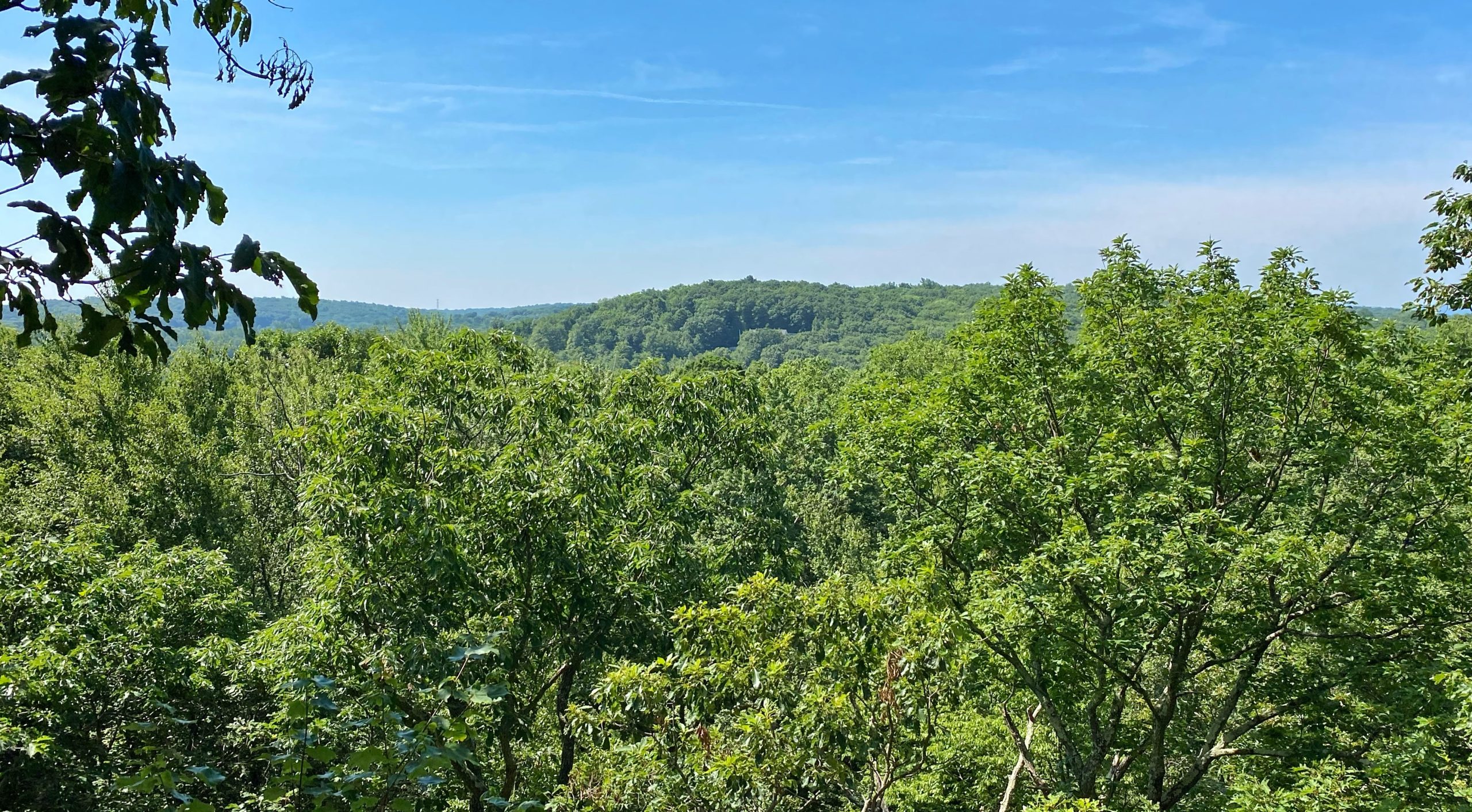
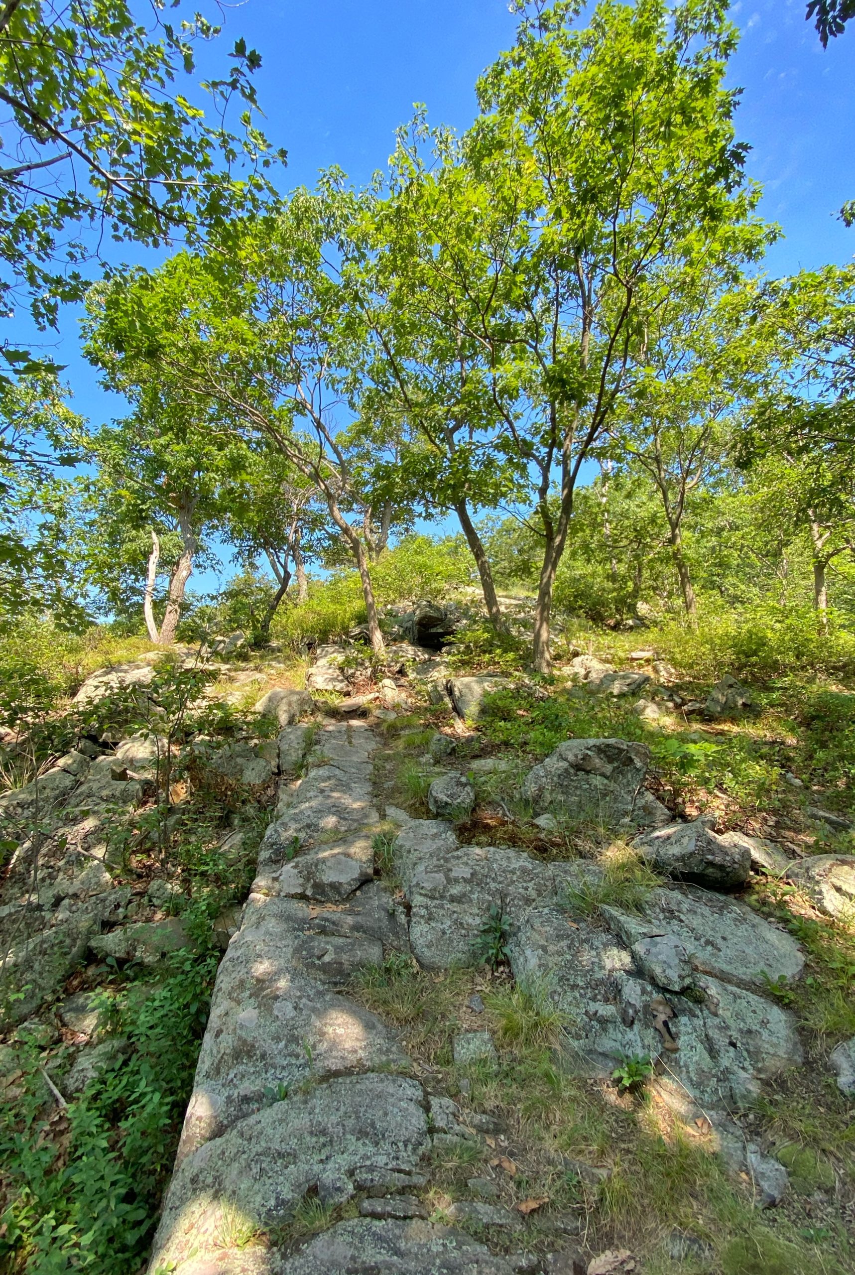
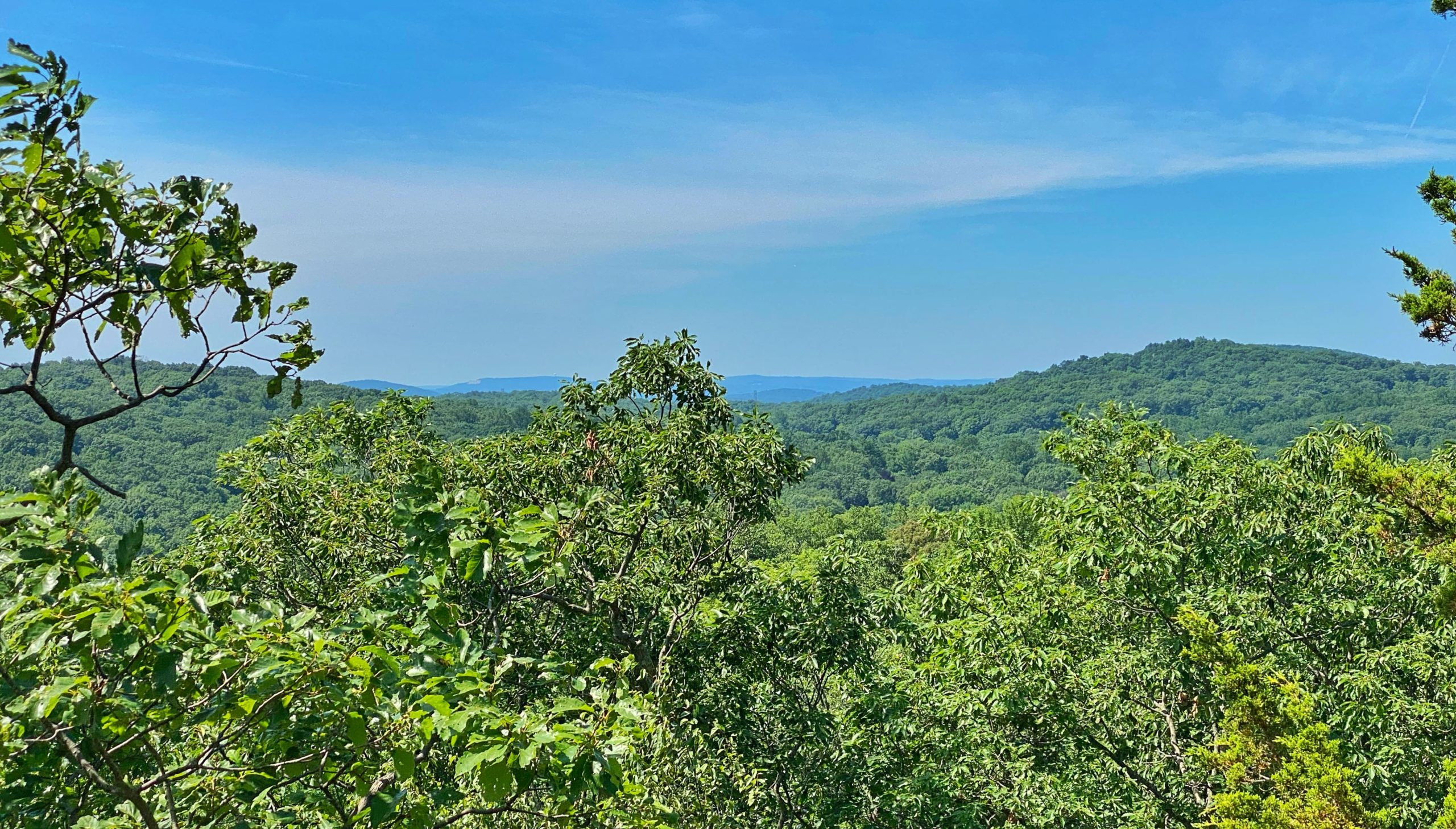
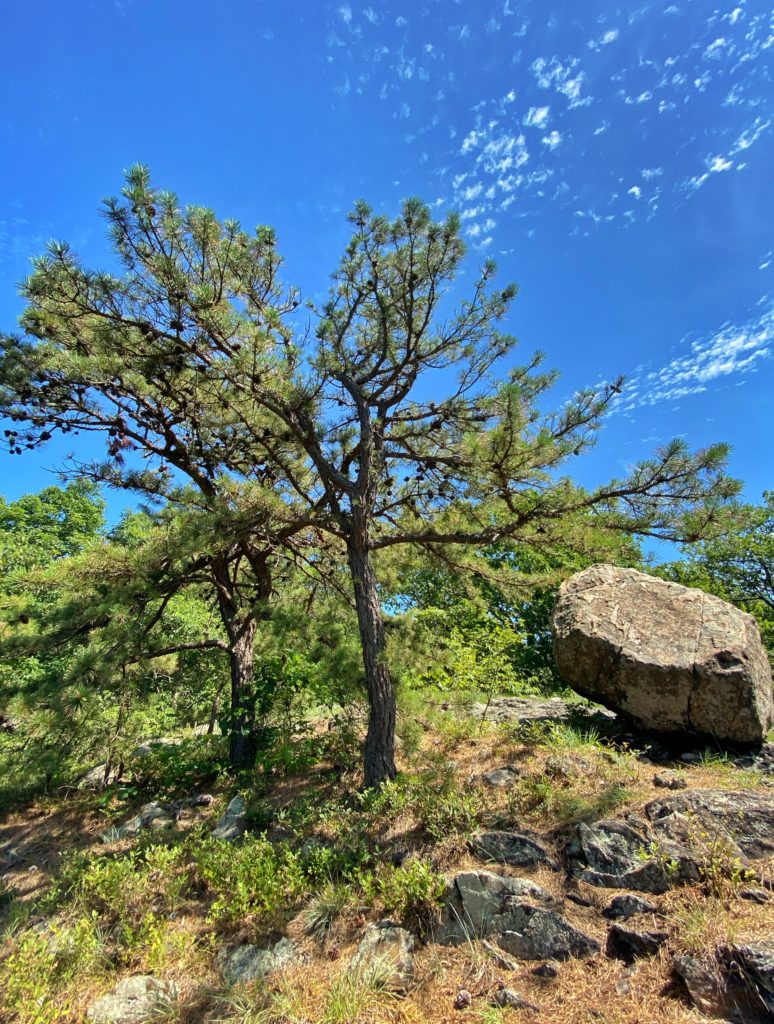
This may be the nicest section of the white trail, with mountain laurel and pitch pine.
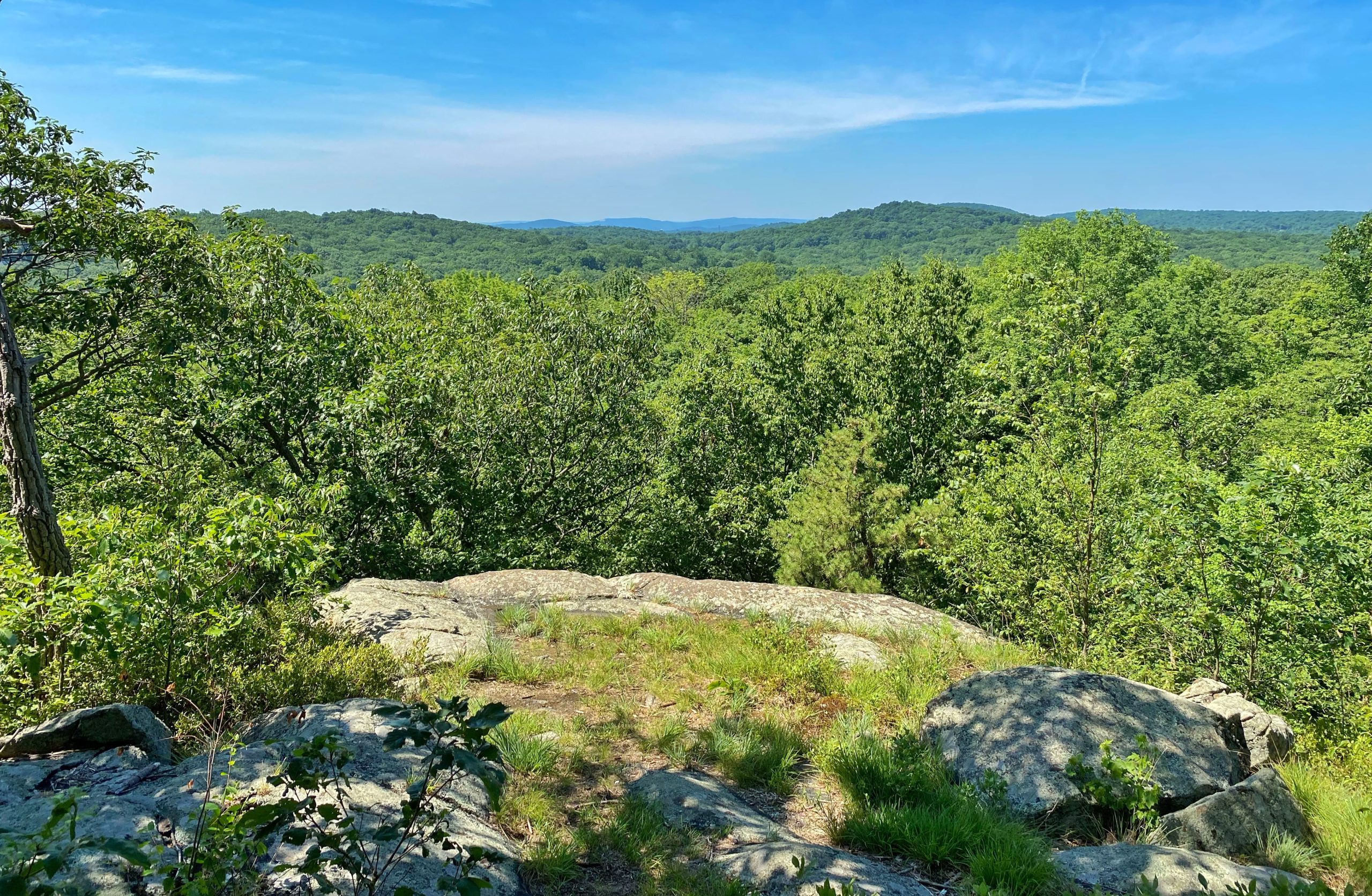
After this viewpoint, pay attention to the trail. A short distance ahead, it will turn to the right into the woods, but if you continue straight along an exposed ridgeline, you’re presented with another viewpoint to the northwest.
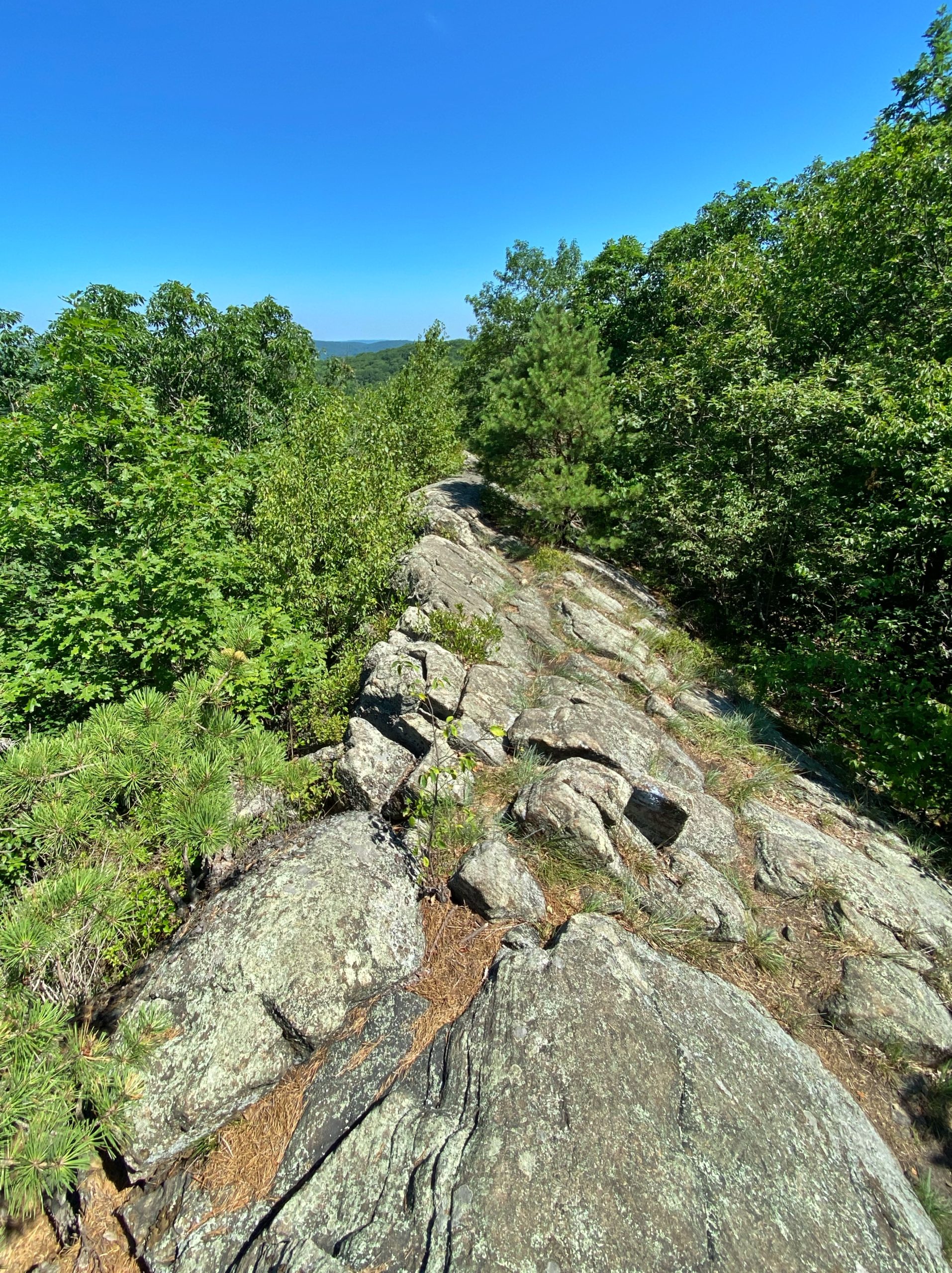
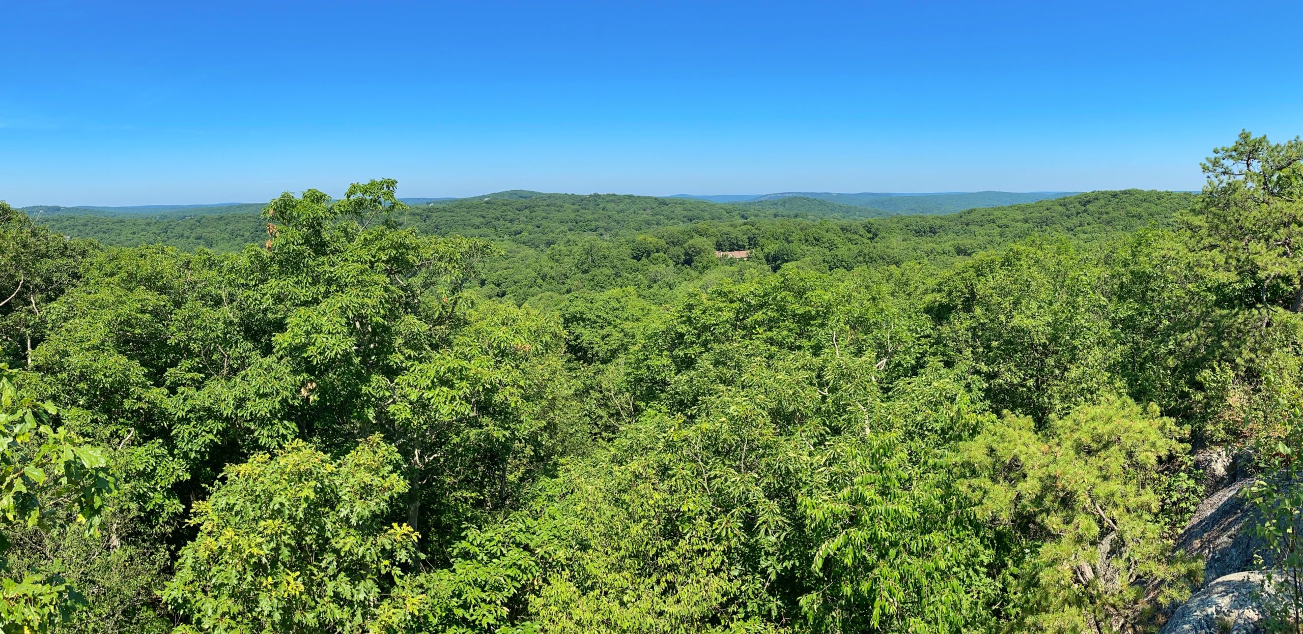
Next, you’ll reach the second junction with the yellow trail. A short distance ahead, you’ll reach a bench with a partial view to the east.

A little bit further, and the white trail ends. Stay left and follow the path that passes to the west of Canty’s Lake.
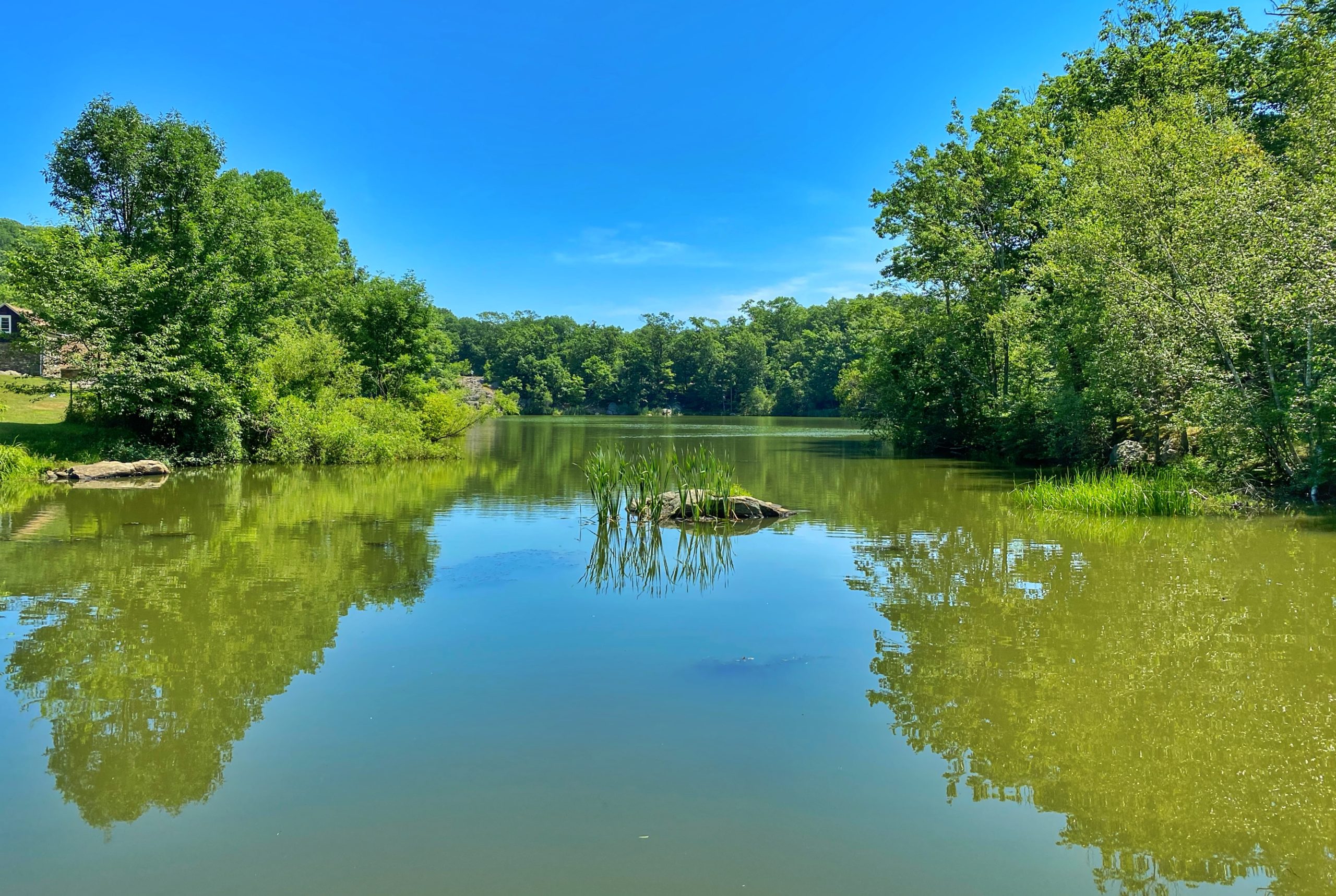
Ahead and to the left you’ll see a clearing and the trailhead for the red trail. Enter the woods. The red trail follows a woods road for about a half mile. When it ends, you can follow the parking lot south back to where you parked.
Alternatively, for a slightly longer hike that includes a viewpoint, take the out-and-back blue trail (about 1/3 mile long). As you exit the red trail, look to your left for the blue blazes. After a relatively flat start, the blue trail will quickly gain altitude.
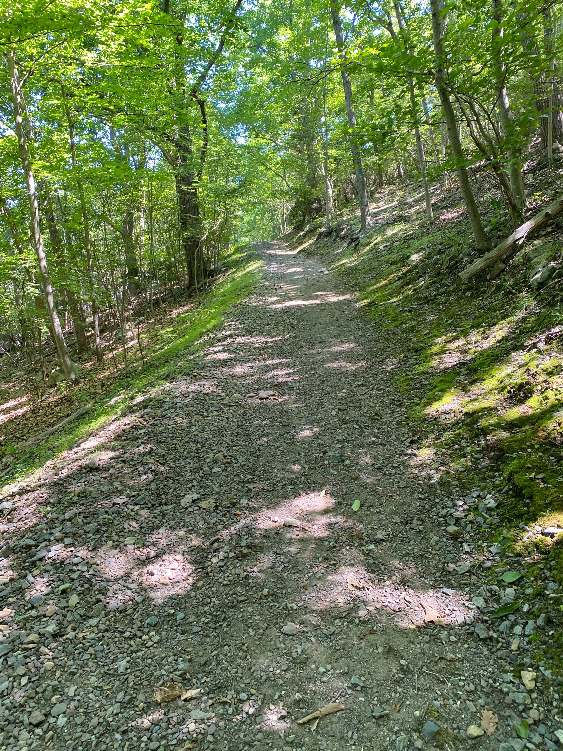
At the top is a bench and views to the north.
Now turn around, retrace your steps down the blue trail, then follow the road back to your car parked at the trailhead for the white trail.

