Overview
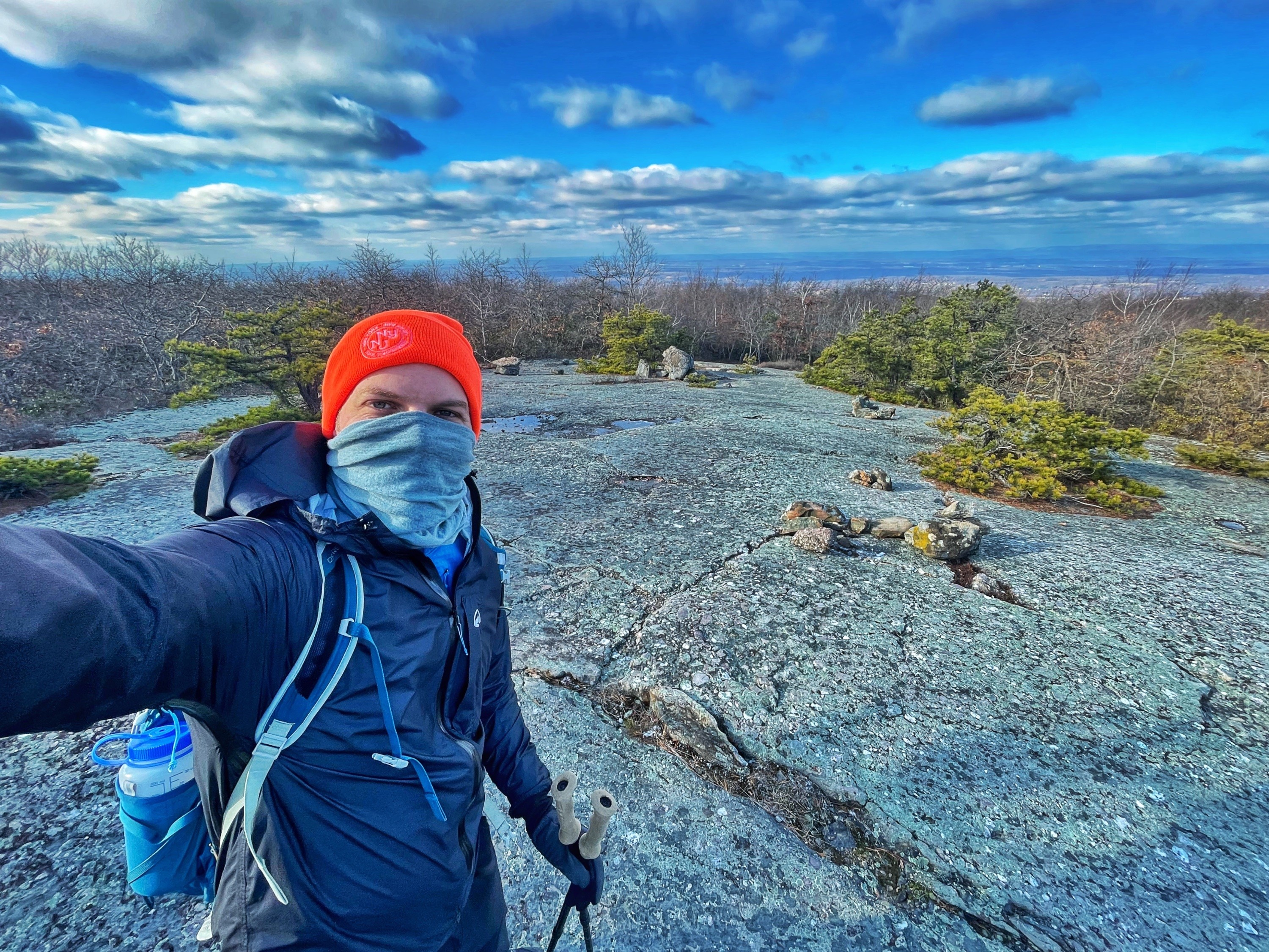
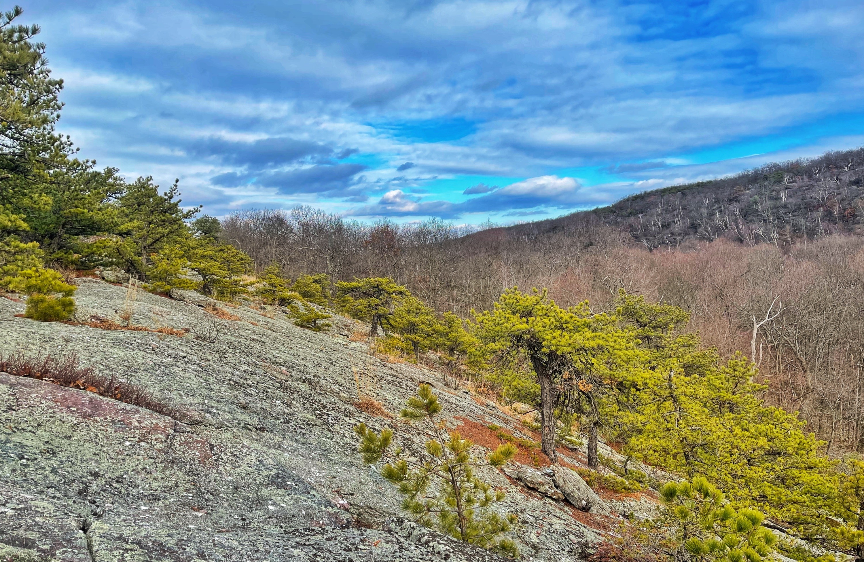
This loop of Schunemunk Mountain follows two ridges with endless views from outcrops carved smooth by glacial action and dotted with pitch pines and visits the Megaliths – an interesting geologic feature.
The video below demonstrates the exposed, smoothly cut and polish rock ridges with pitch pines you’ll see along this hike.
Notes: Some parts of the trail are steep and will require the use of your hands. In addition, there is an area where the trail is completely flooded with a few inches of water at the bottom of the Ridge-to-Ridge Trail that requires balancing on mostly submerged logs. The crossing of Baby Brook can also be tricky if the water level is high.
Schunemunk Mountain
With an elevation of 1,664 feet, Schunemunk Mountain is the highest mountain in Orange County, New York.
Evidence of glaciers
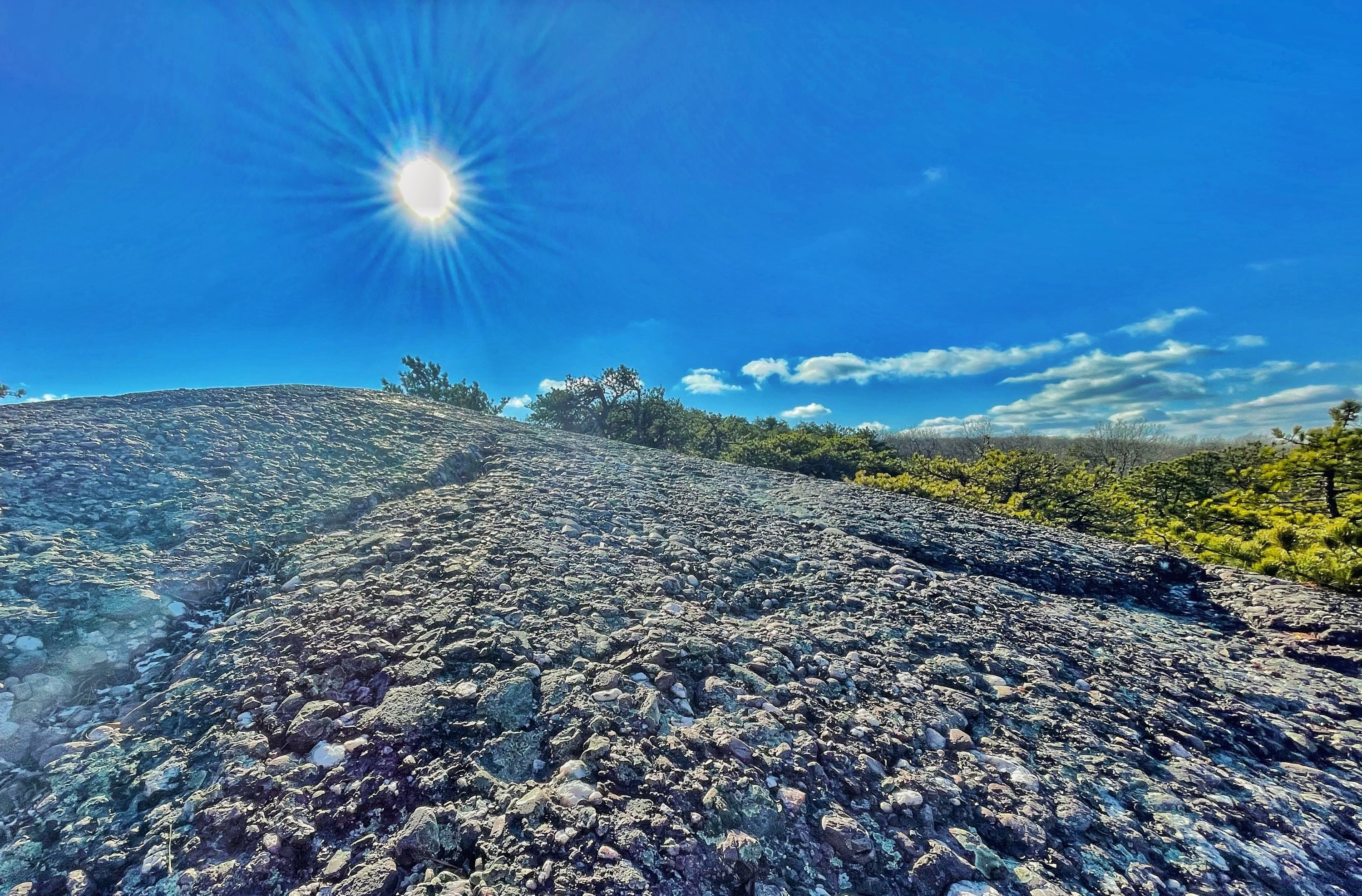
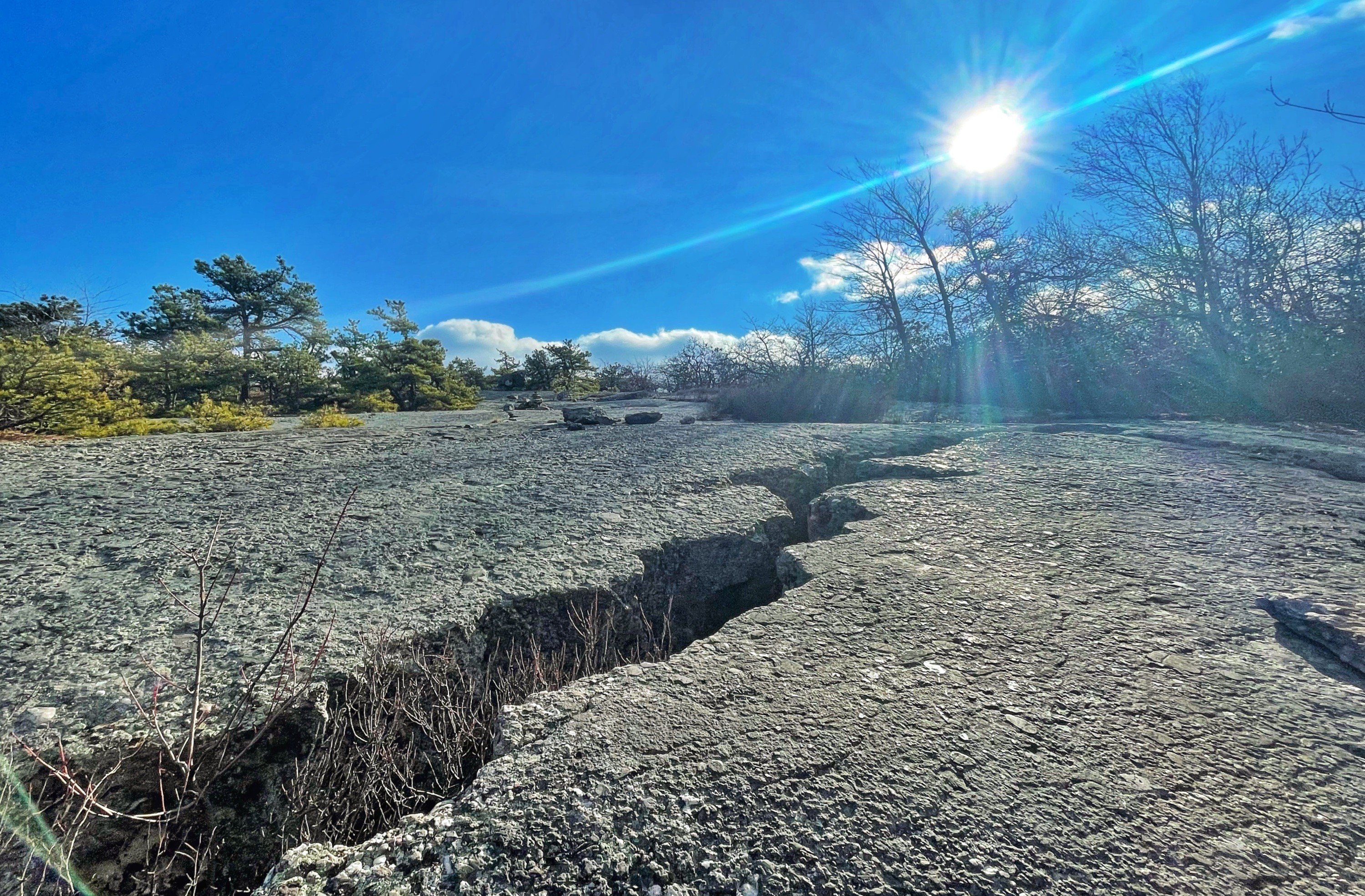
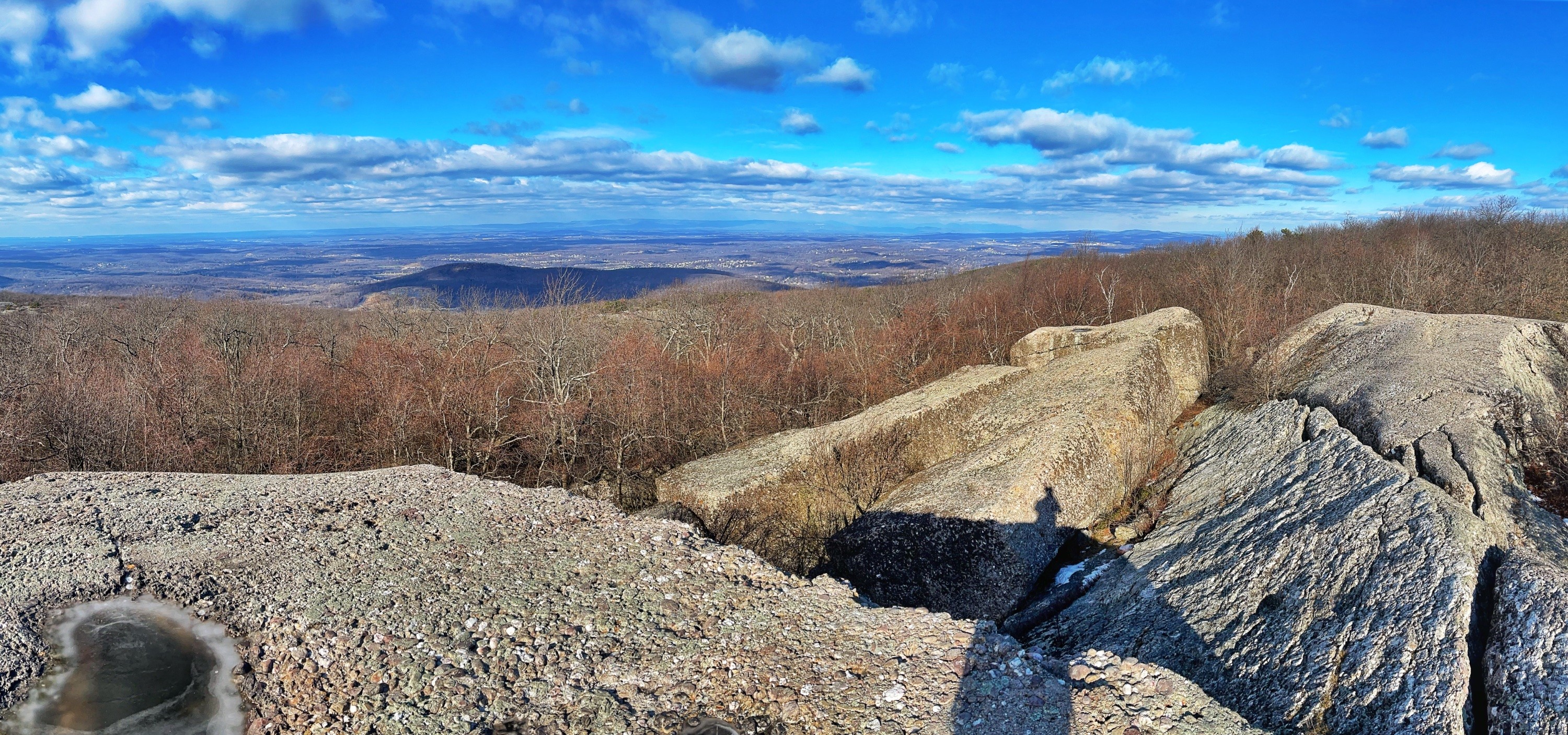
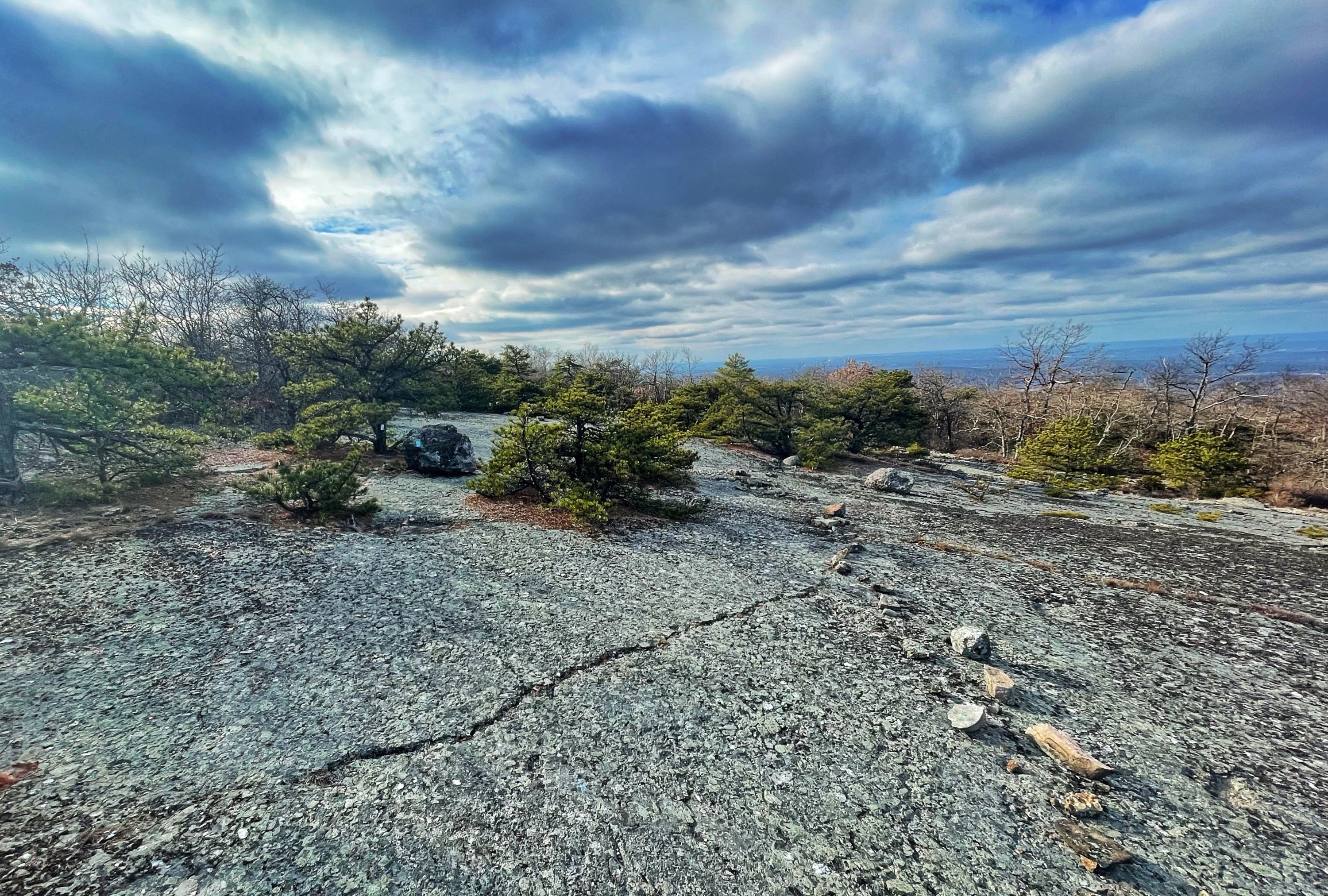
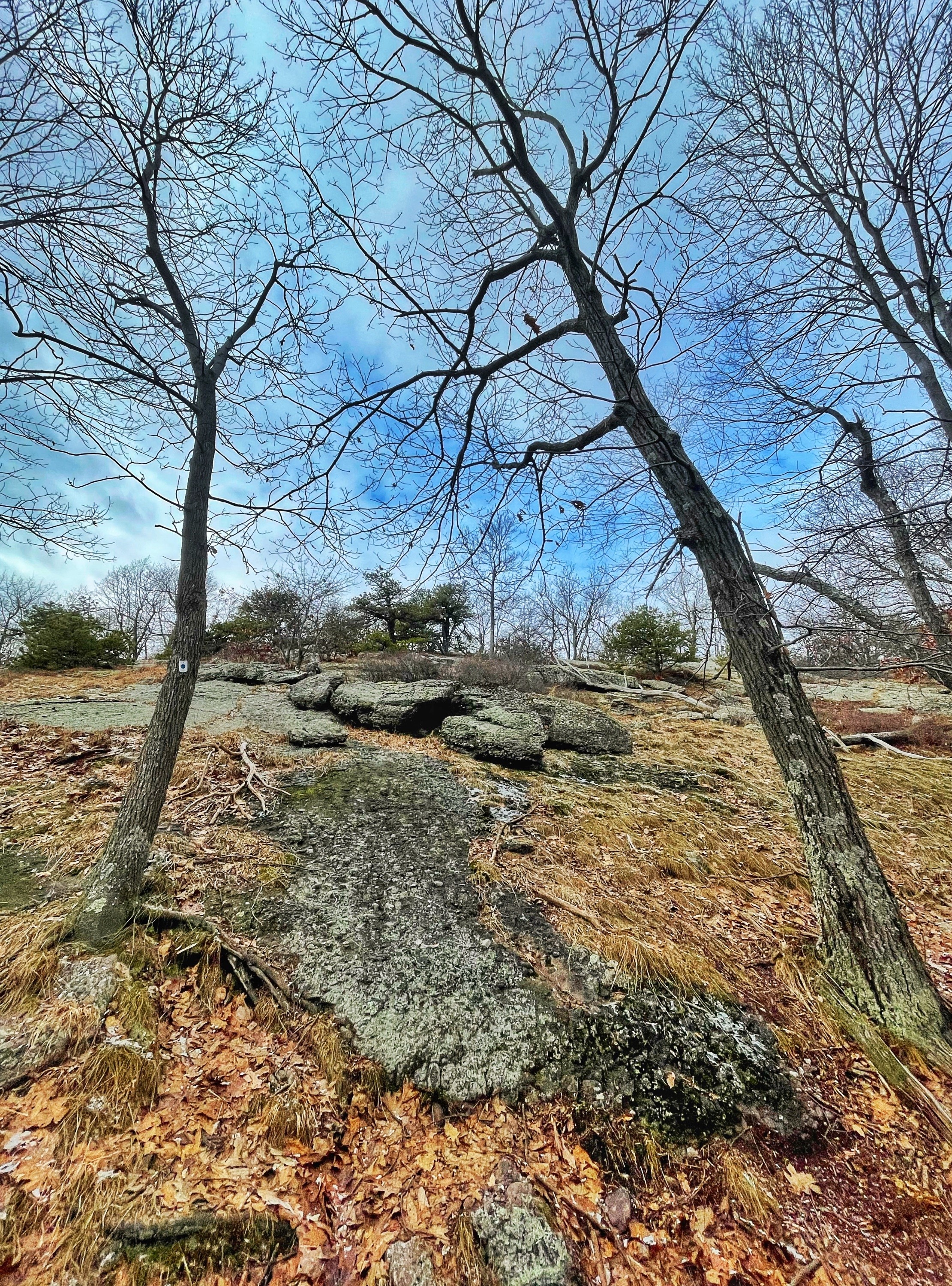
Everywhere you look along this hike you’ll see evidence of the powerful glaciers that once covered this area. The lumpy puddingstone rock beneath your feet has been carved smooth and even polished in areas. On top of these carved ridges you’ll find large, seemingly out-of-place boulders – glacial erratics – that were picked up and carried by the retreating glaciers and deposited as they melted.
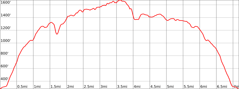
Hike length: 7.2 miles
Elevation gain: +2,010 feet
Location: Schunemunk State Park, Town of Cornwall, NY
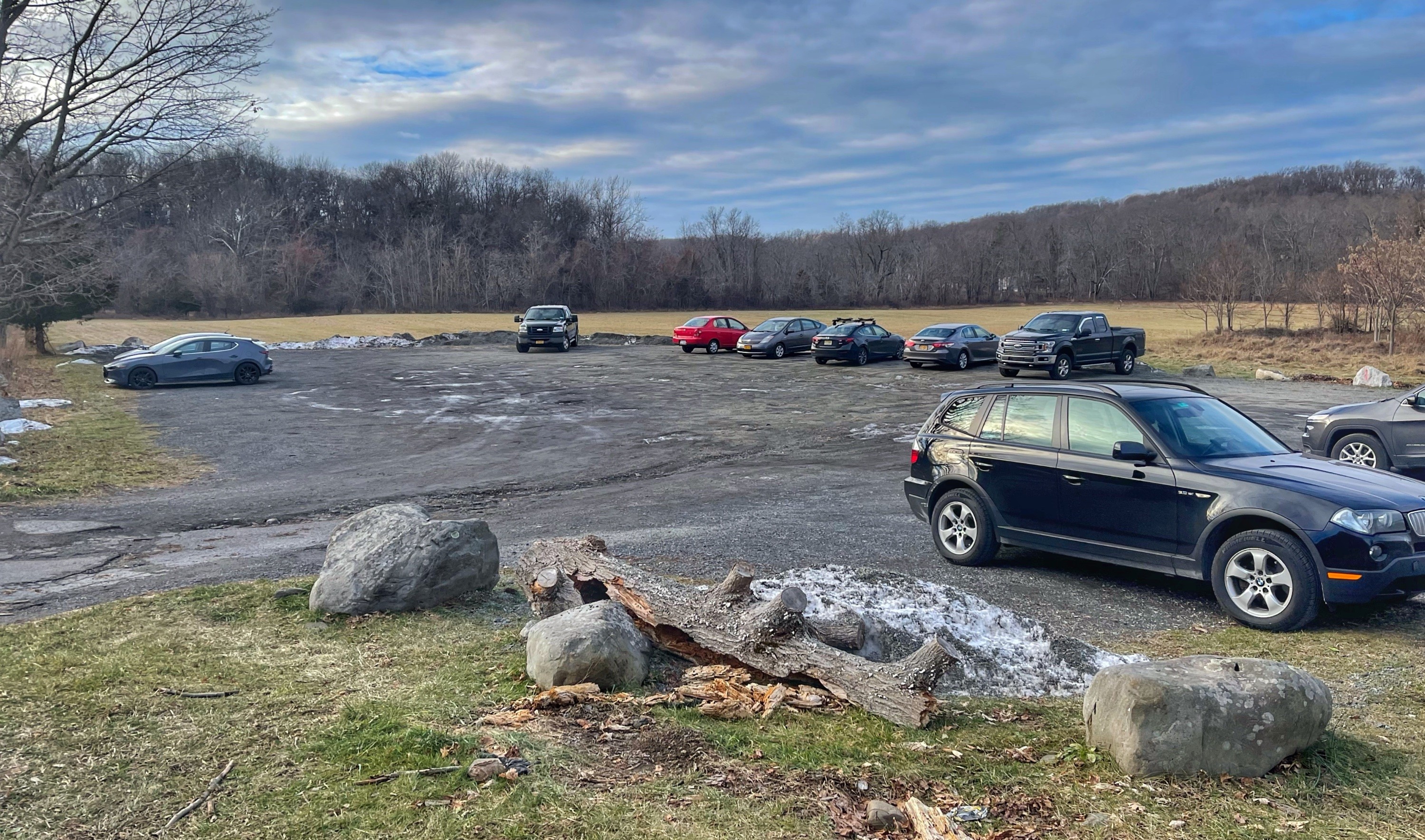
Parking: Park in the dirt lot on Otterkill Road, address: 340 Otterkill Rd, Salisbury Mills, NY. Parking is prohibited along Otterhill Road.
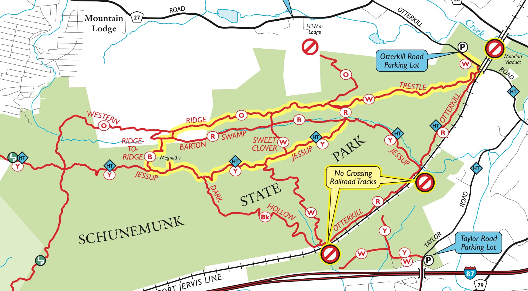
Trail Map
Free maps
- NY-NJ Trail Conference Jersey Schunemunk State Park
- Schunemunk State Park trail map (NY Parks, Recreation & Historic Preservation)
Paid maps
- NY-NJ Trail Conference Jersey West Hudson Trails Map (Map 114) (print)
- NY-NJ Trail Conference West Hudson (Schunemunk – Map 114) (Avenza)
Trail description
From the parking lot, walk east along Otterhill Road for 0.2 miles towards the Moodna Viaduct visible ahead.
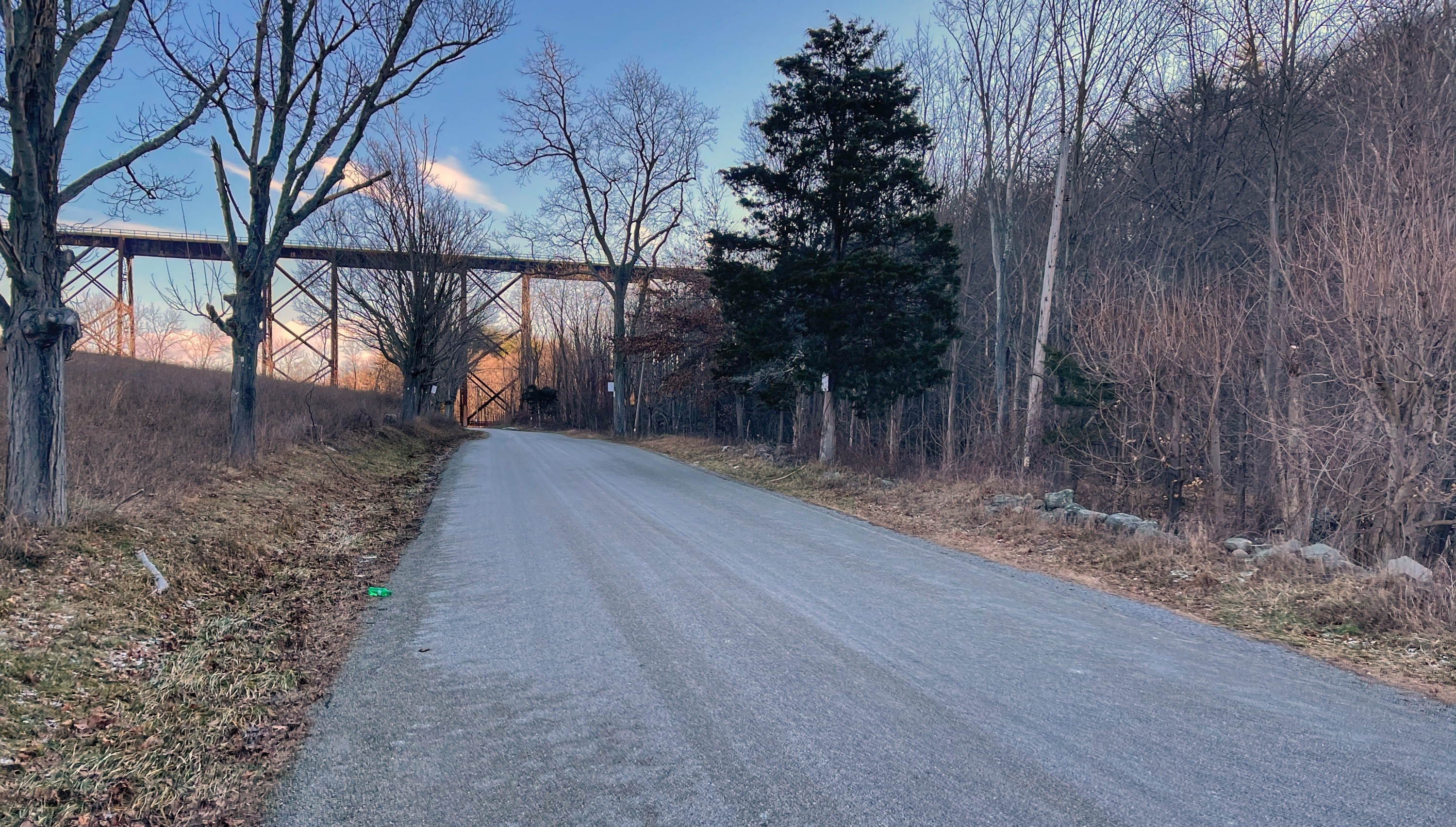
Just before you reach the viaduct, look on your right for the trailhead for the white-blazed Trestle Trail. If you’ve reached the viaduct, you’ve gone too far – turn around.
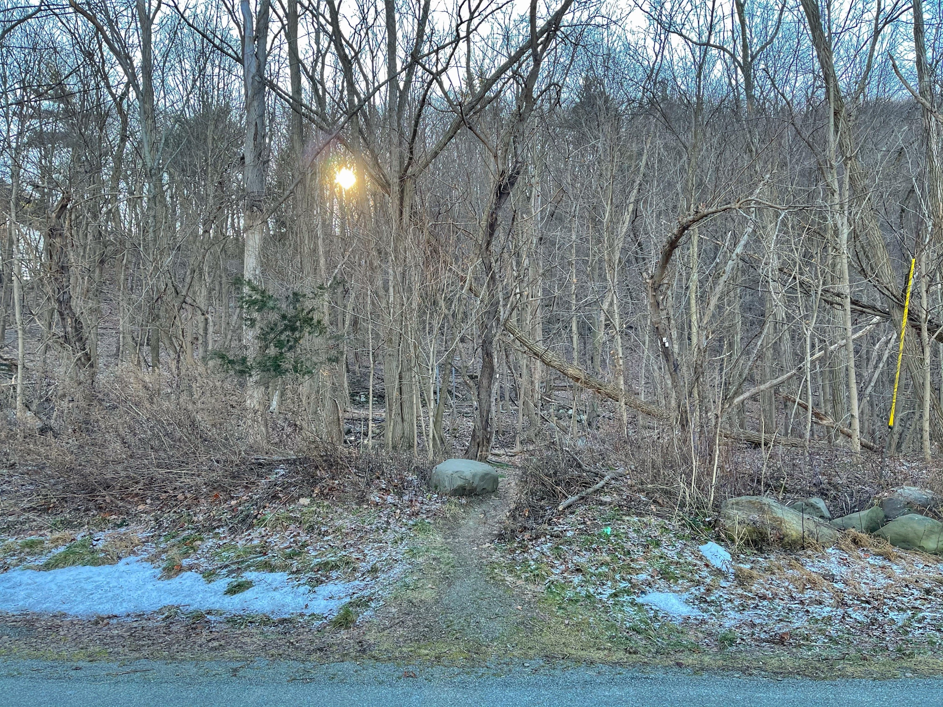
Follow the white-blazed footpath as it climbs uphill. After 0.1 mile, you’ll reach a junction with the red-blazed Otterkill Trail forking to the left. Stay right to continue on the Trestle Trail. The trail continues to climb steeply.
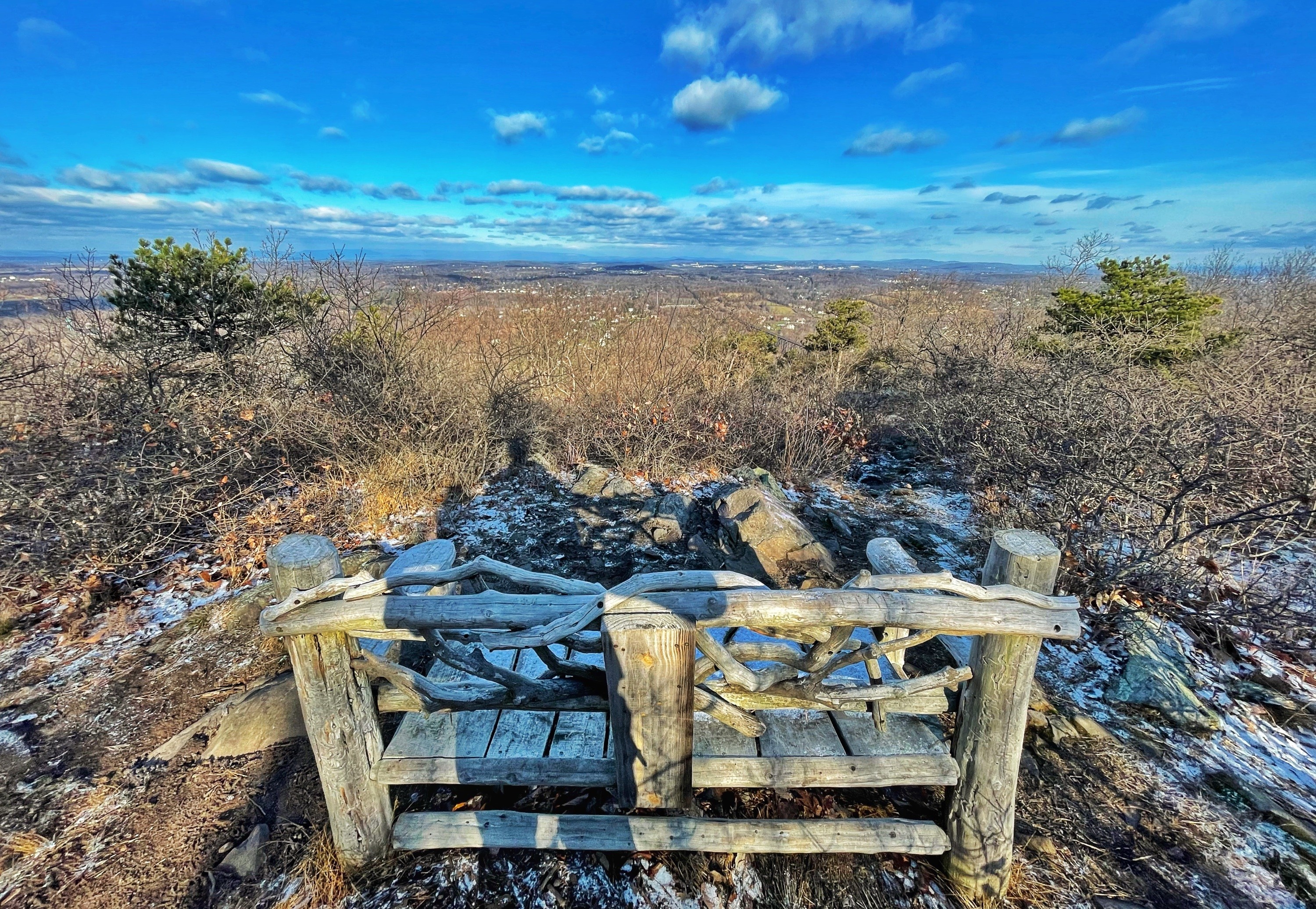
After 0.5 miles, on your right is a short spur to a viewpoint with Sharon’s bench – a memorial for Sharon Guilfoyle – with views of the Shawangunks in the distance.
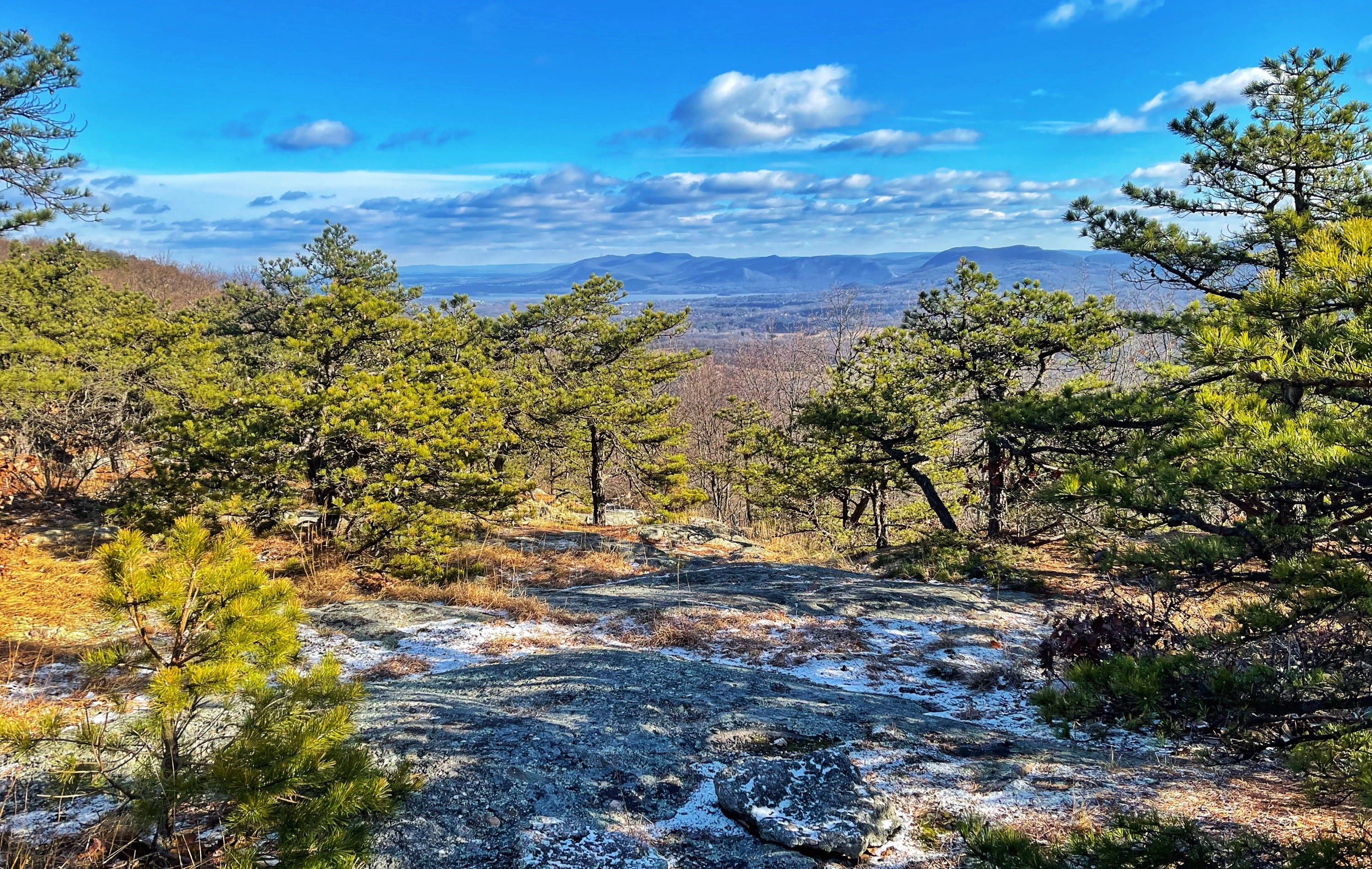
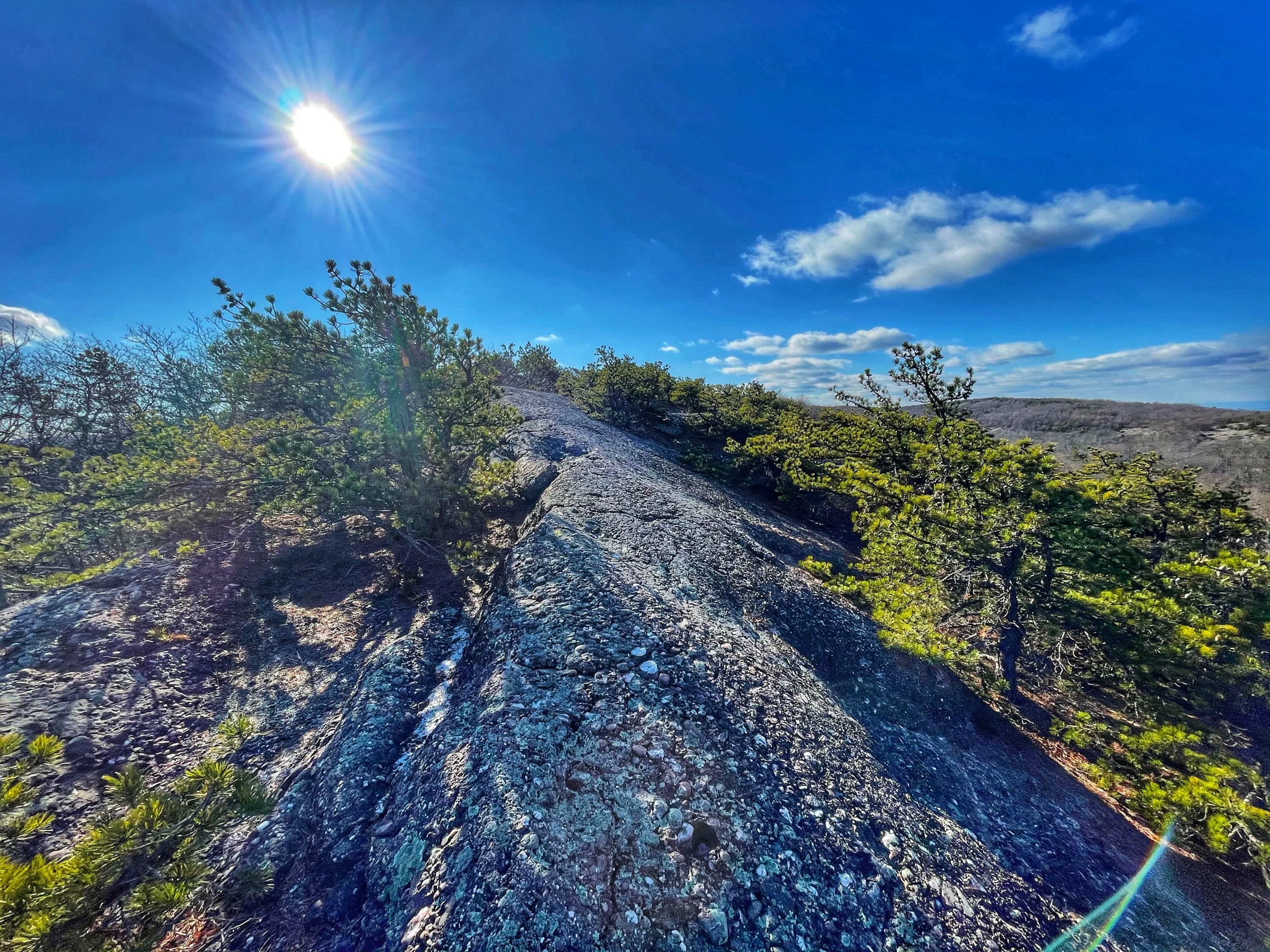
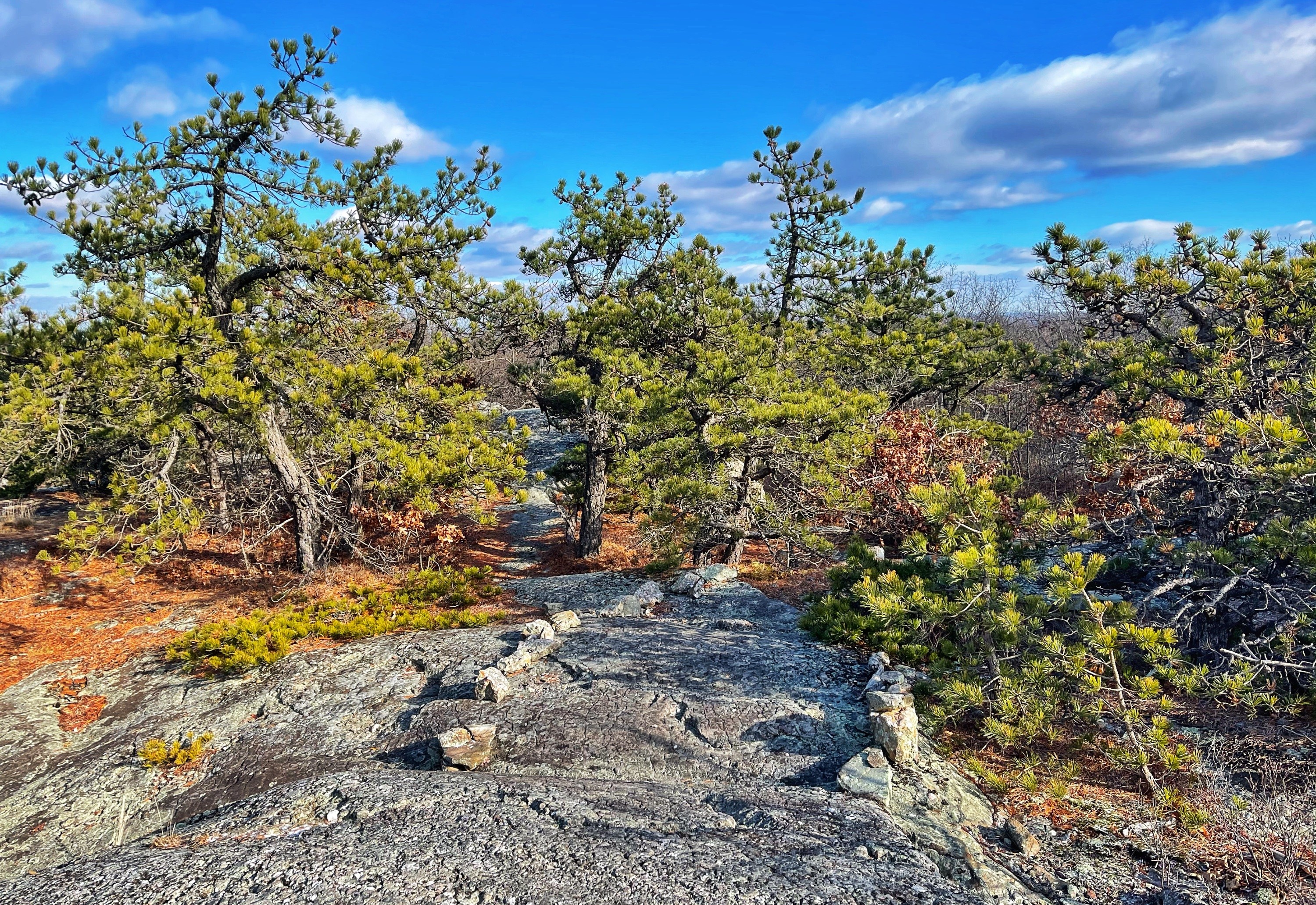
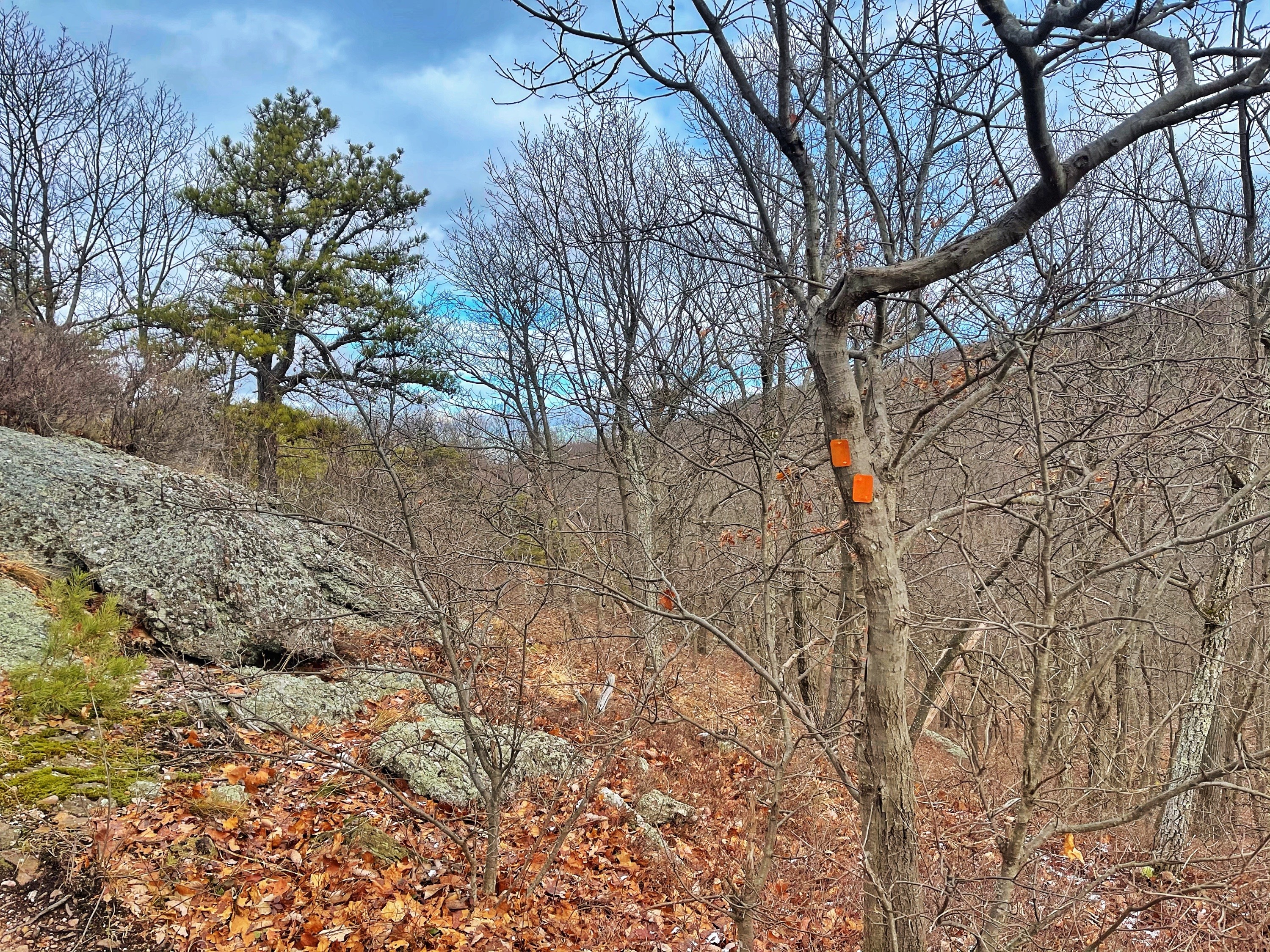
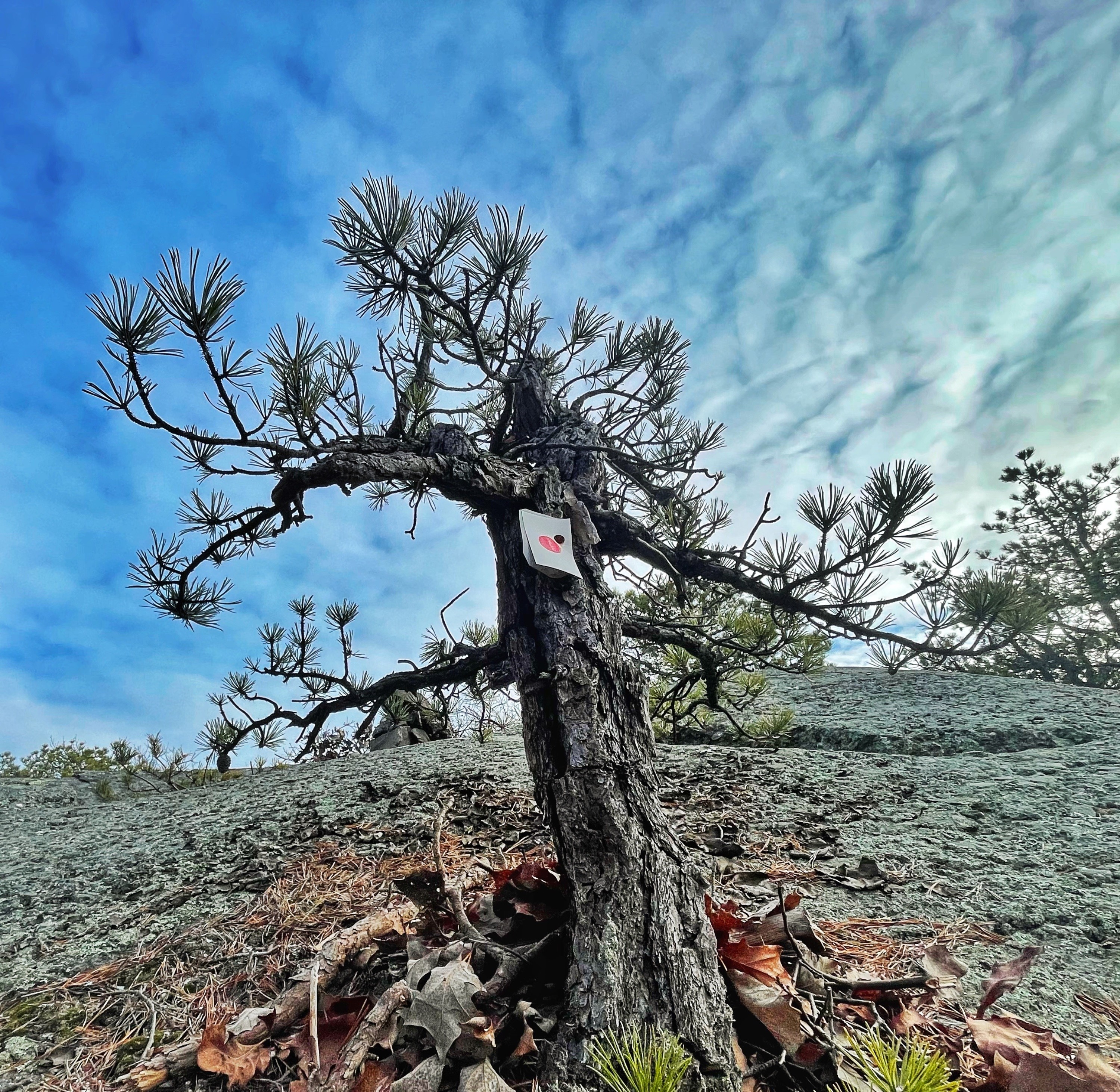
The trail continues to climb, occasionally with interesting exposed rock areas where only pitch pine are able to take root.

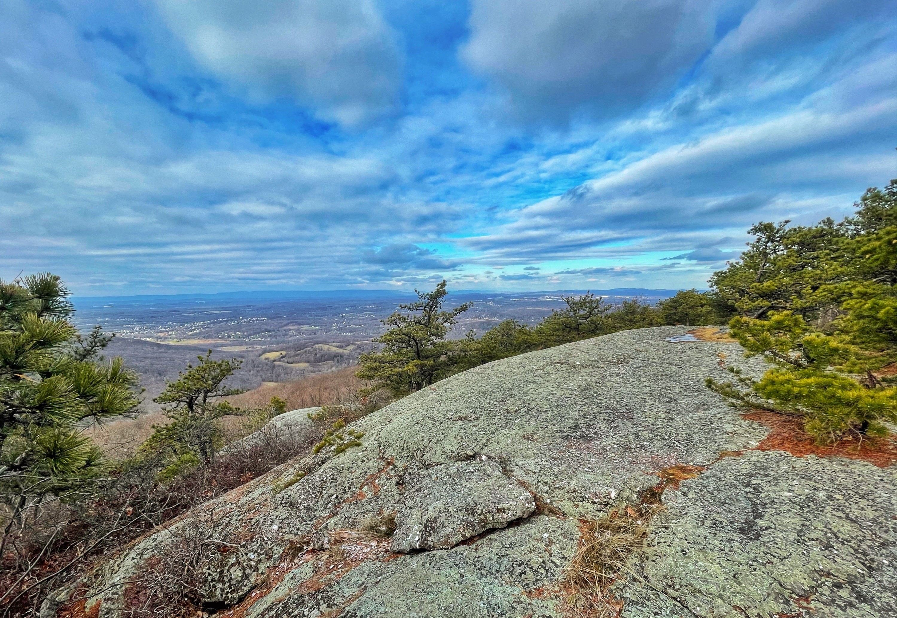
Nearly a mile further from Sharon’s bench, you’ll reach an east-facing viewpoint near a junction with the red-blazed Barton Swamp Trail.
Here, we’ll make a sharp left turn to follow the red-blazed trail as it descends steeply down a ravine towards Baby Brook. You may need to use your hands in some places.
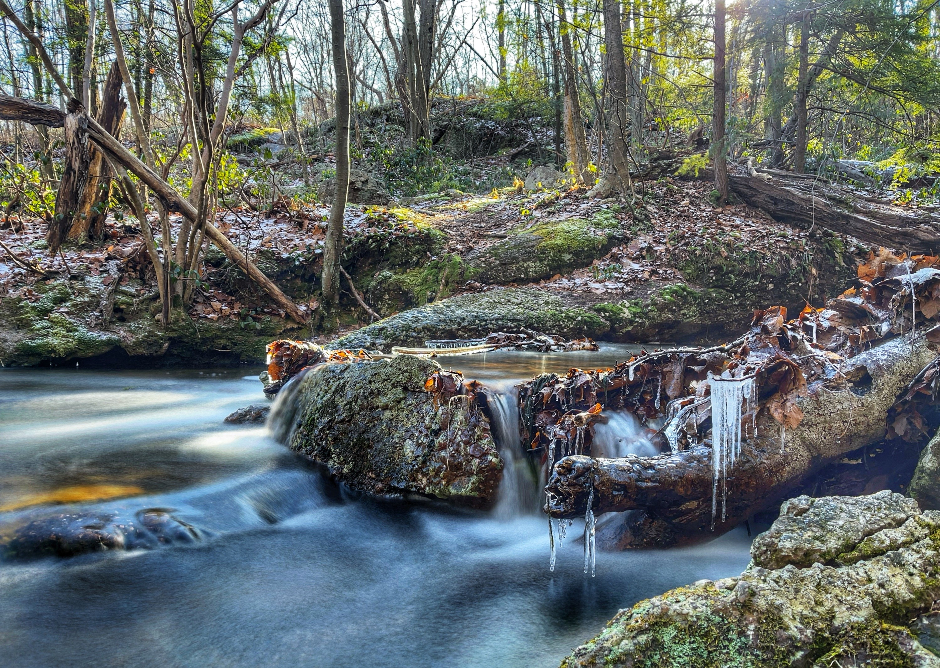
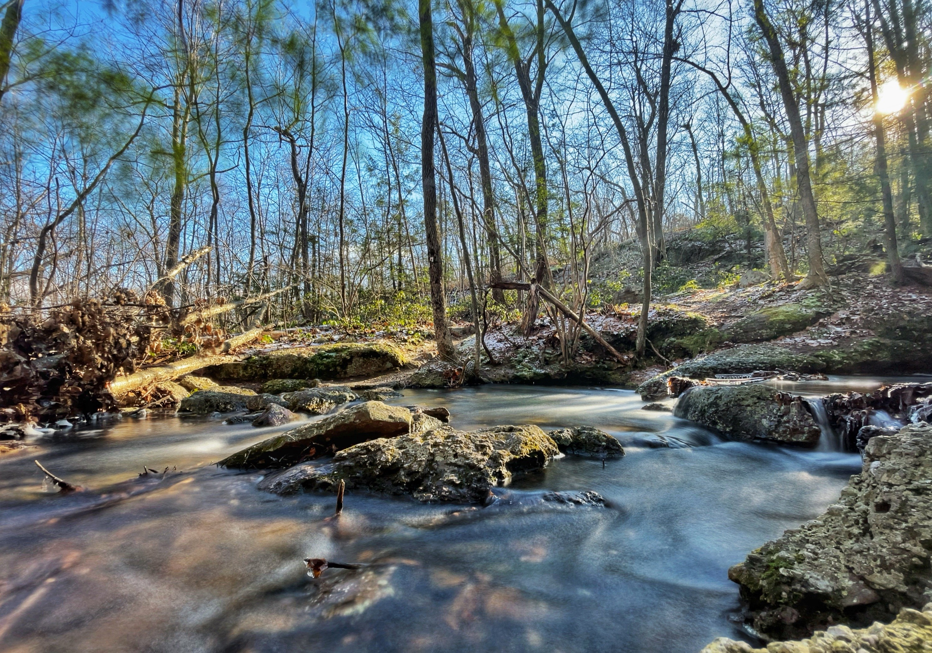
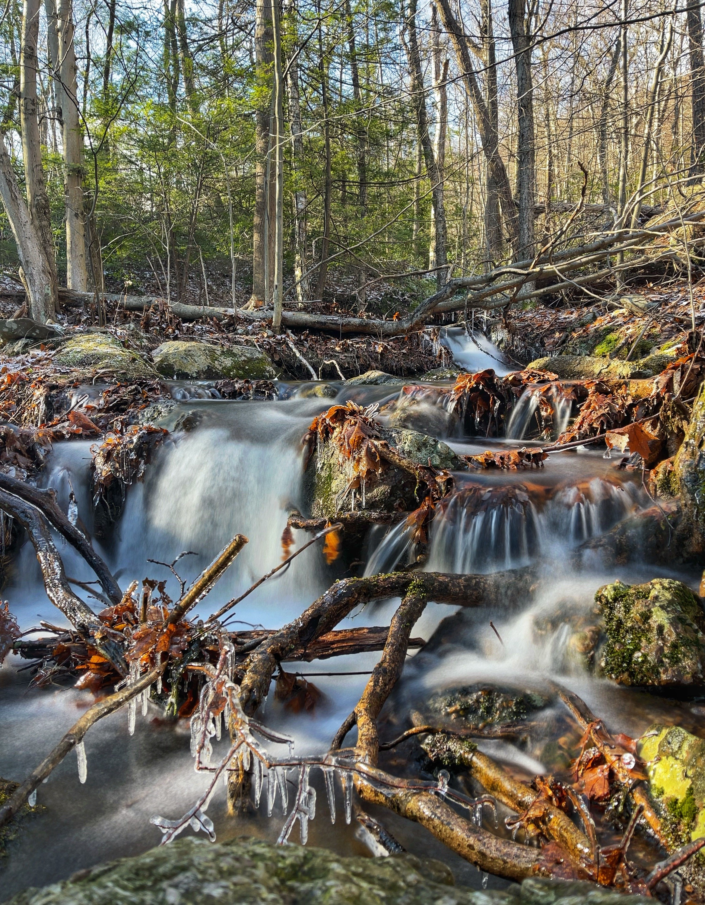
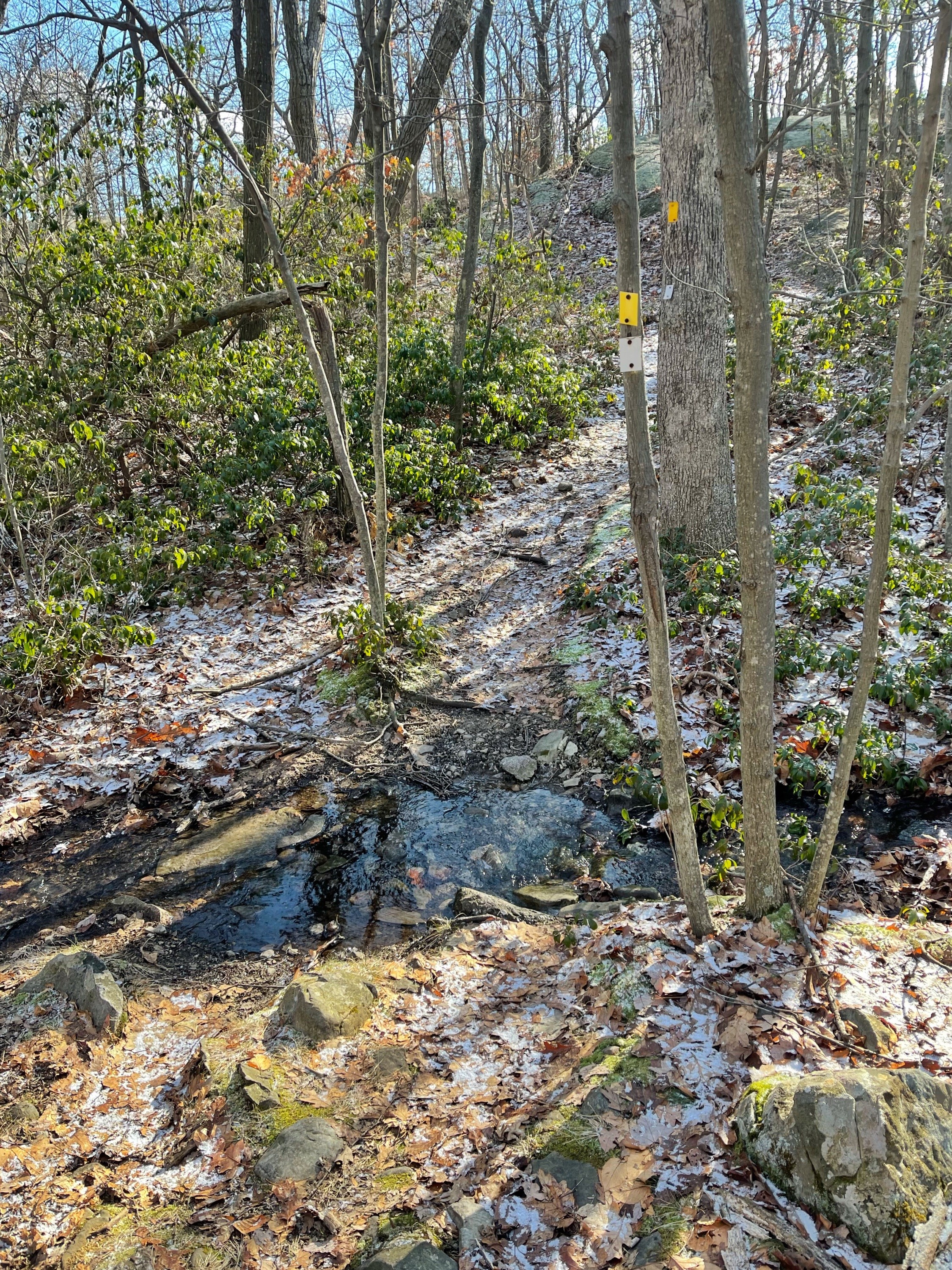
After 0.25 miles, you’ll reach Baby Brook, a lovely stream with cascades.
-
Baby Brook -
Baby Brook -
Baby Brook
Cross the stream on rocks – the crossing can be tricky when the water is high. After the stream you’ll reach a junction with the yellow-blazed Jessup Trail.
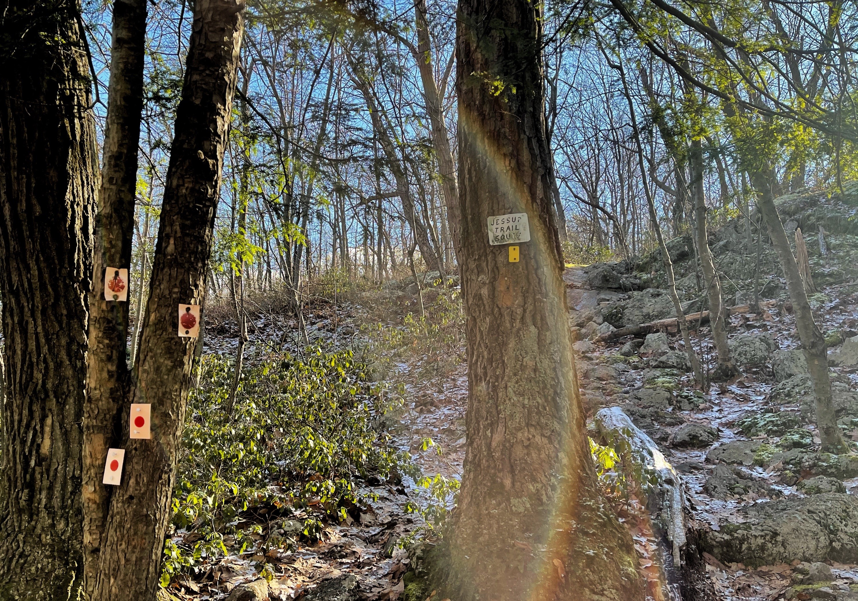
Proceed straight to follow the yellow blazes uphill. A short distance along is the first of many viewpoints along the exposed ridgeline.

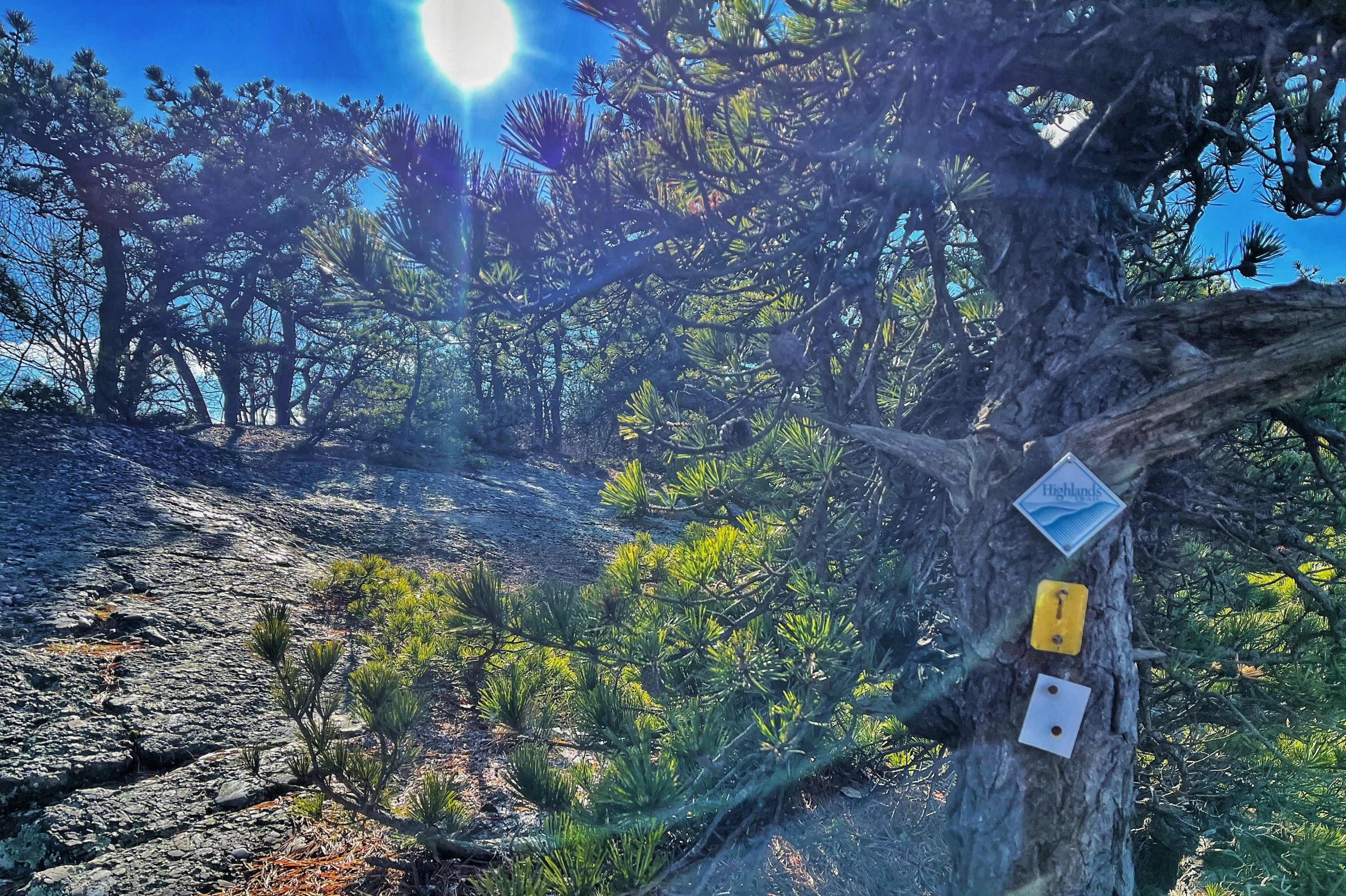
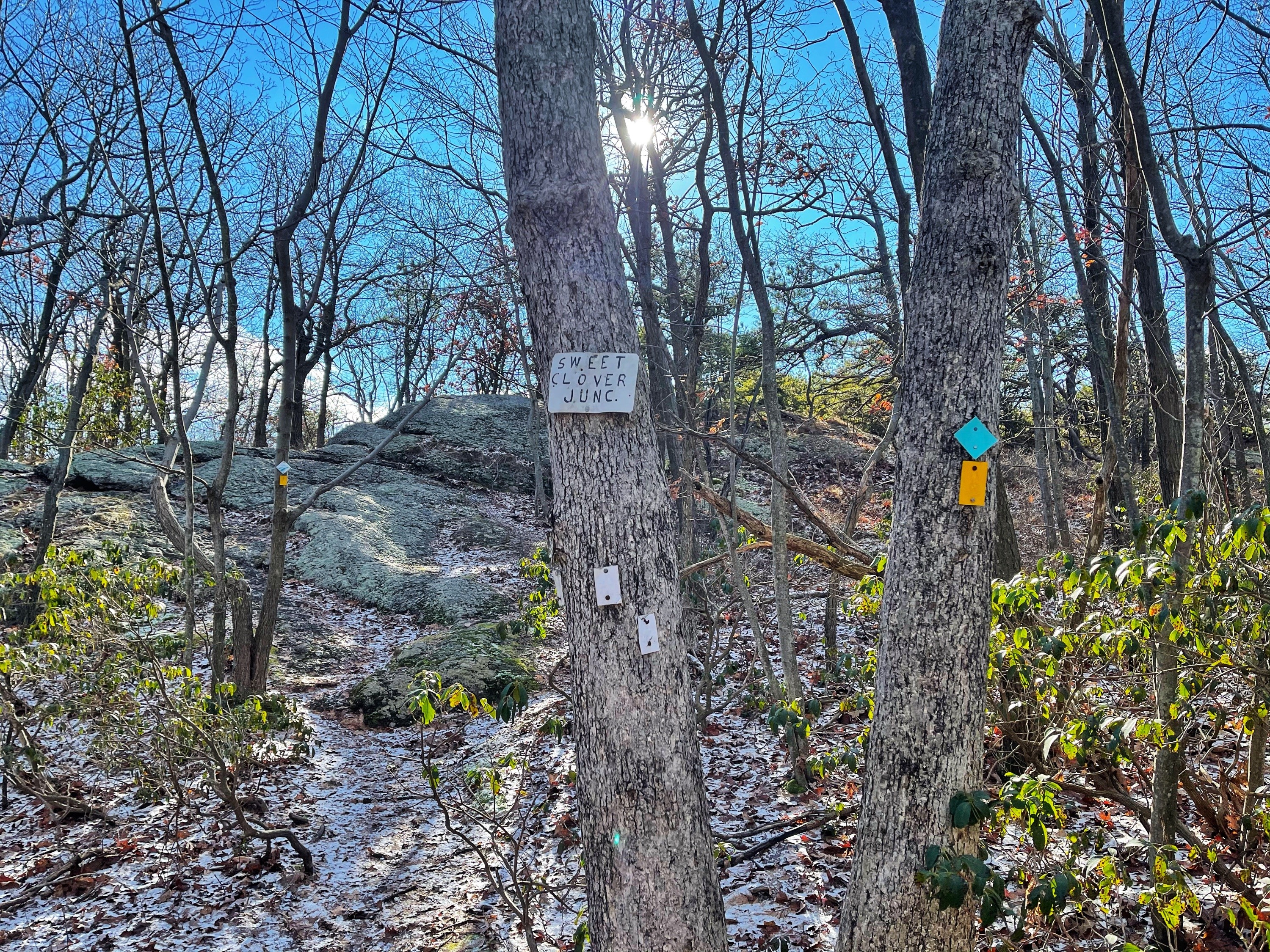
The trail here is co-aligned with the teal diamond-blazed Highlands Trail. After 0.65 miles, the trail also briefly co-aligns with the white-blazed Sweet Clover Trail.
You’ll soon hop across a small stream.
After 0.2 miles, the Sweet Clover Trail breaks away to the left.
The trail weaves in an out between exposed ridgelines with pitch pines and forested area.
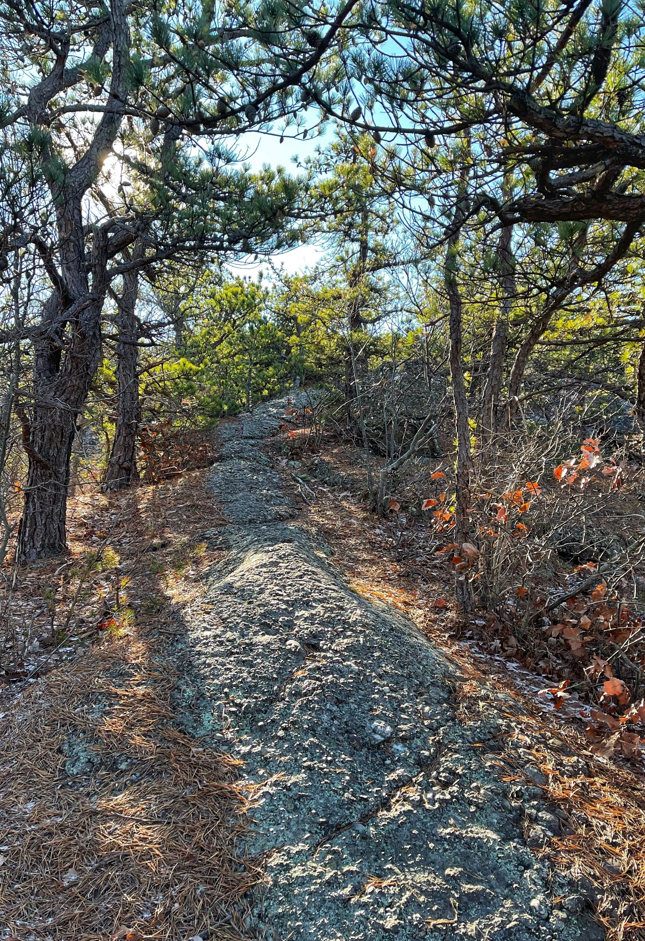
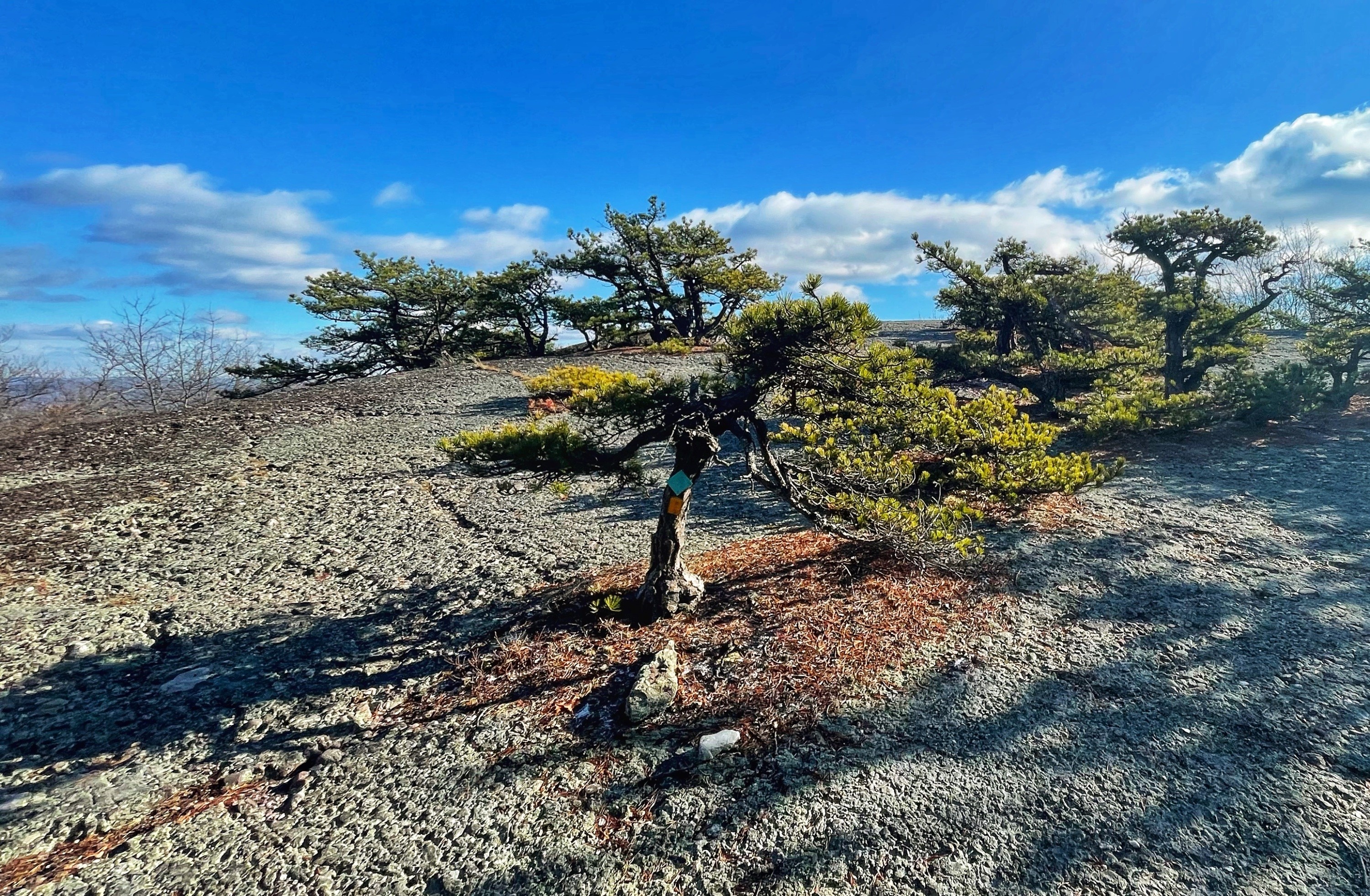
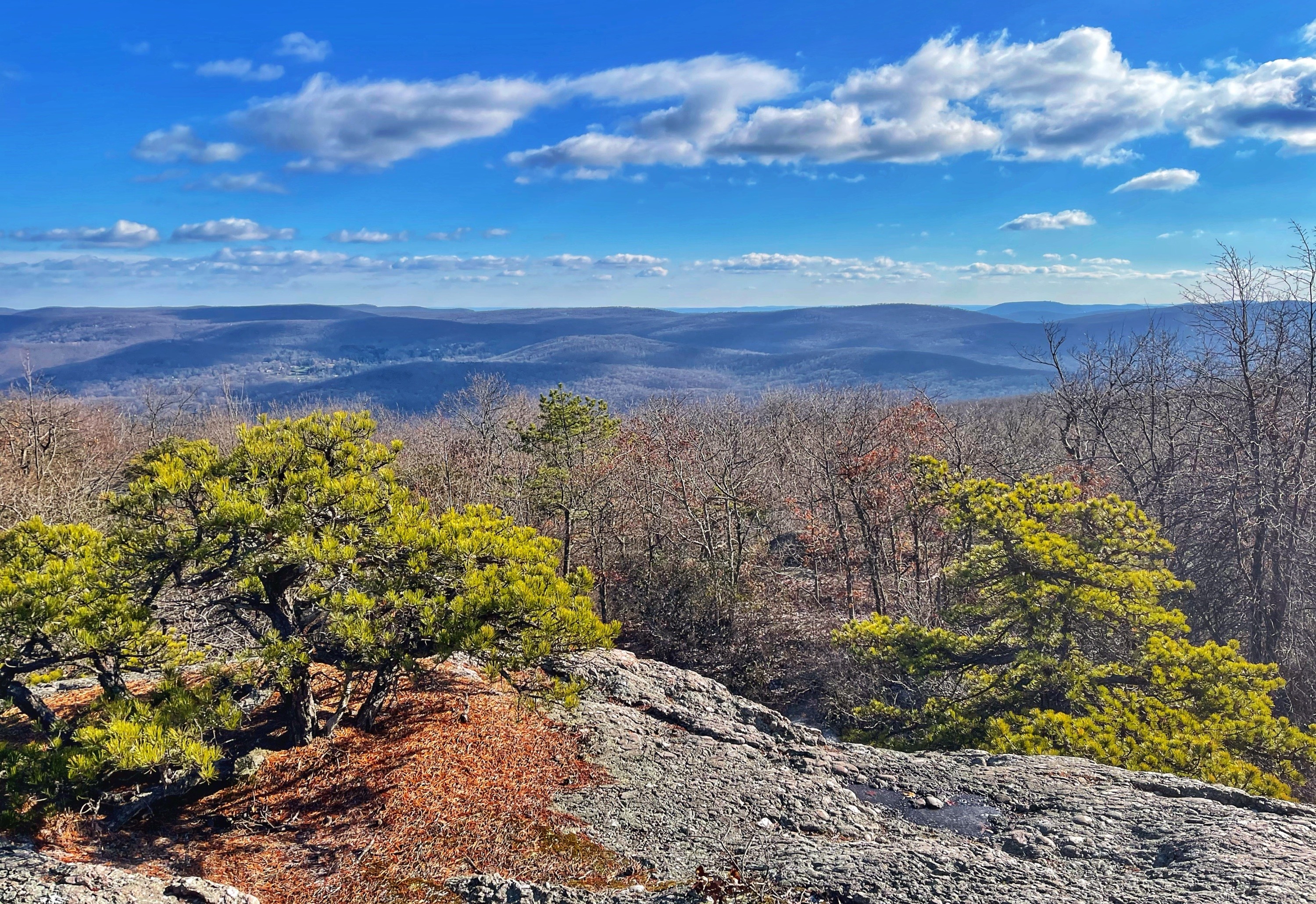
Along the way, evidence of glacial action is everywhere – from the smoothly cut and polished conglomerate rock to glacial erratics (large boulders left behind by glaciers).

Another 0.6 miles after the Sweet Clover Trail breaks off, you’ll pass the junction with the black-blazed Dark Hollow Trail. Continue straight for another 0.3 miles and you’ll reach a ridgeline clearing near the 1,664 foot summit of Schunemunk Mountain.
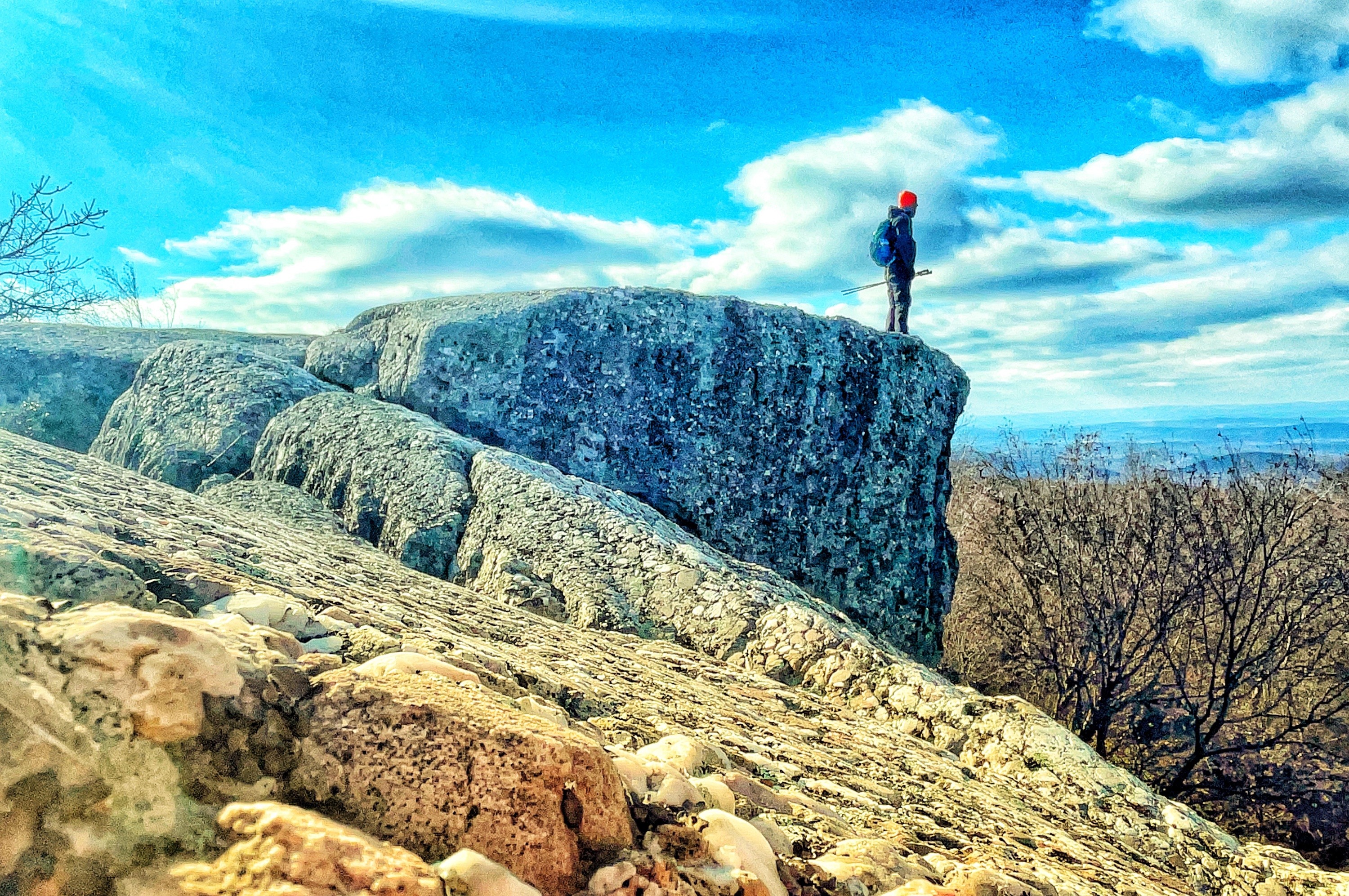
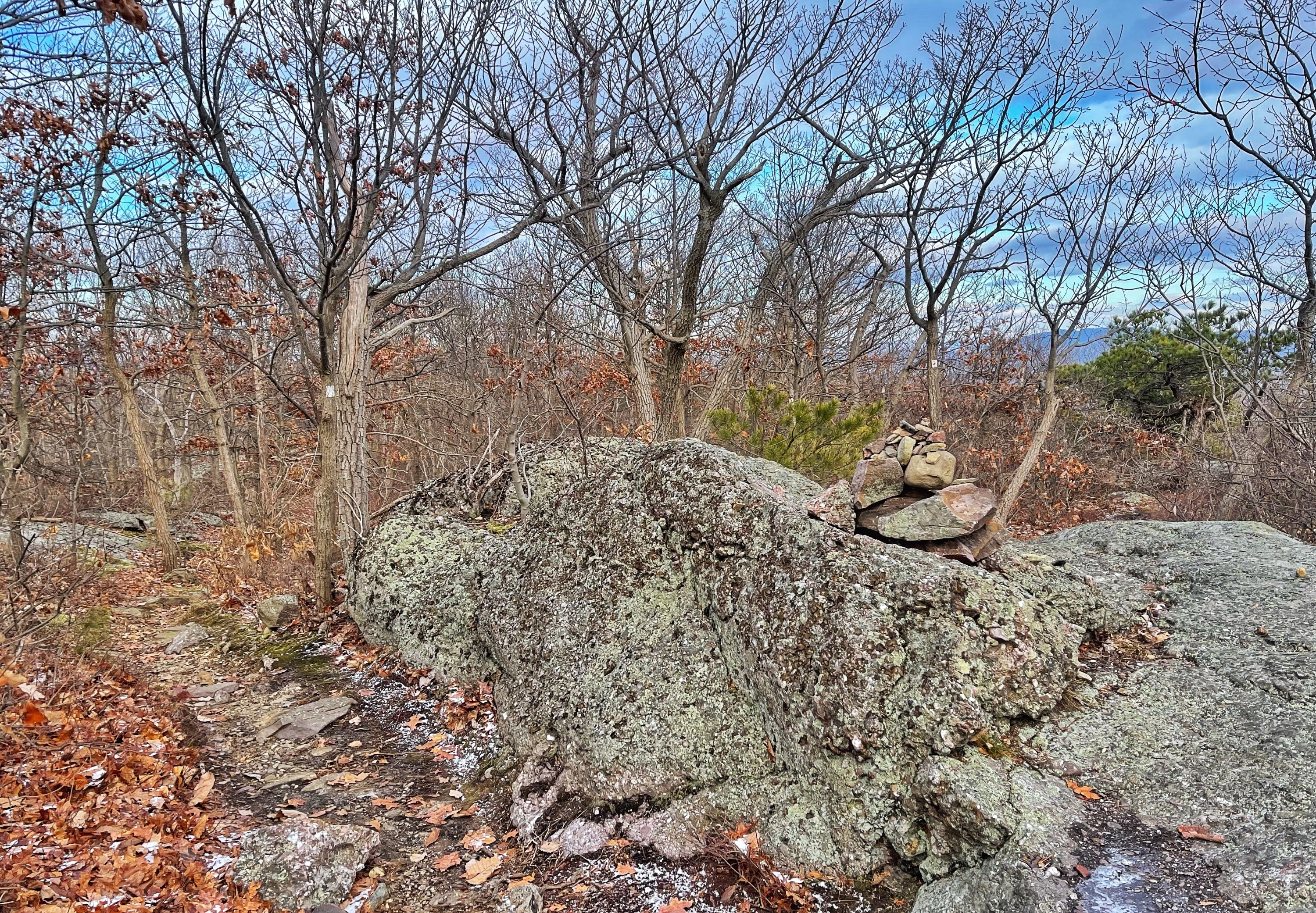
Here, you’ll make a right for a short 0.1 mile detour to see the Megaliths. Along the exposed rock, there may be some rock cairns to guide you, if they haven’t fallen over.
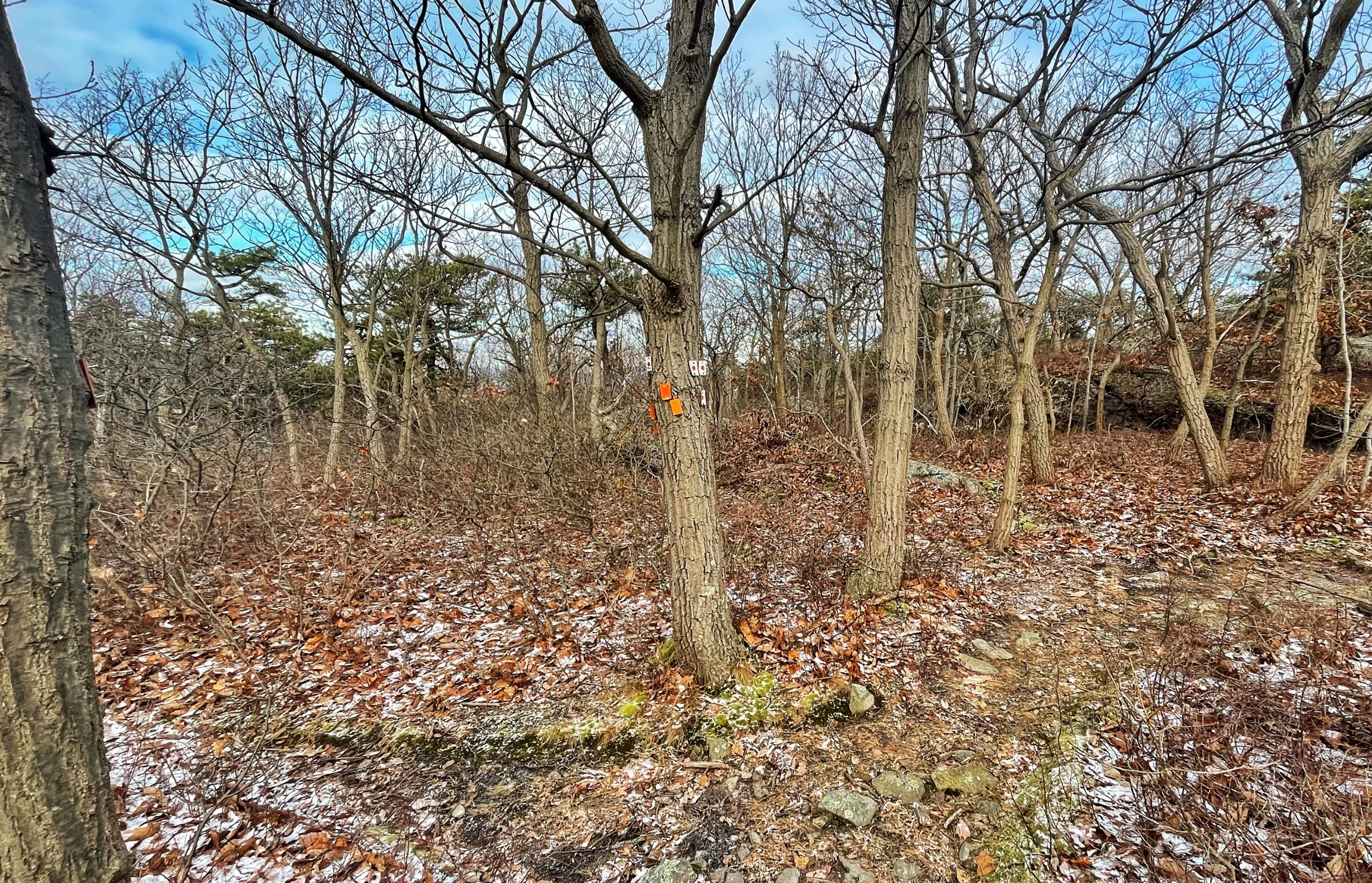
Proceed northwest, perpendicular to the Jessup Trail, and head towards the forested area where you’ll find the short white-blazed spur trail.
Follow the trail through a dense thicket and a short distance later you’ll reach the Megaliths – large blocks of rock that detached from the mountain.
This is a good place to stop for a break or snack. After exploring the Megaliths, retrace your steps back to the Jessup Trail and continue heading west.
About 0.15 miles later, you’ll pass a wet area on your right.

Immediately after, you’ll reach a junction with the blue-blazed Ridge-to-Ridge Trail. Turn right to follow the blue blazes. Here, you’ll need to navigate a portion of the trail that’s probably wet.
Follow the blue blazes as the trail first passes an open ridge and then begins to descend more and more steeply into a ravine. The trail become pretty steep in some parts and will require using your hands.
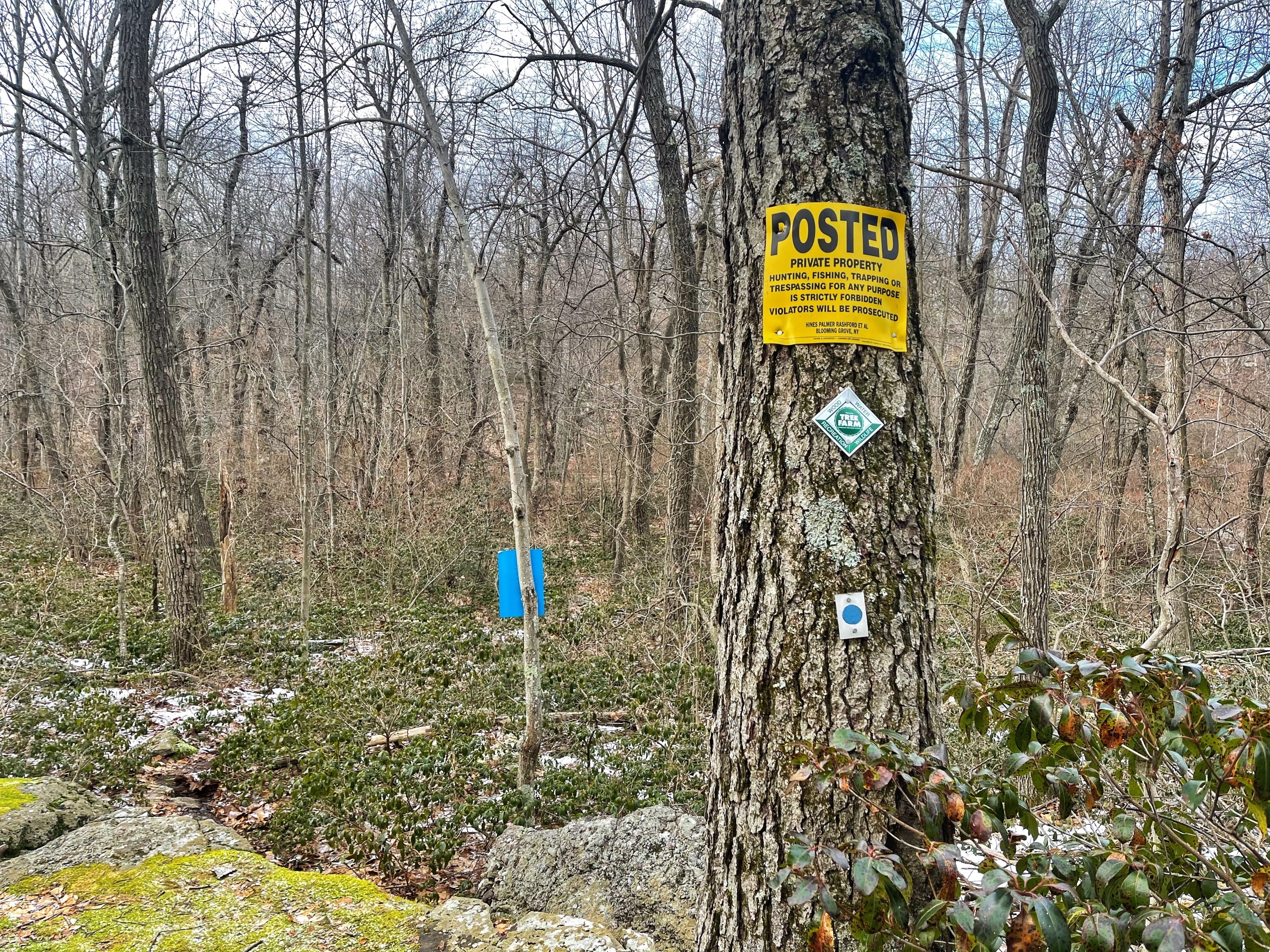
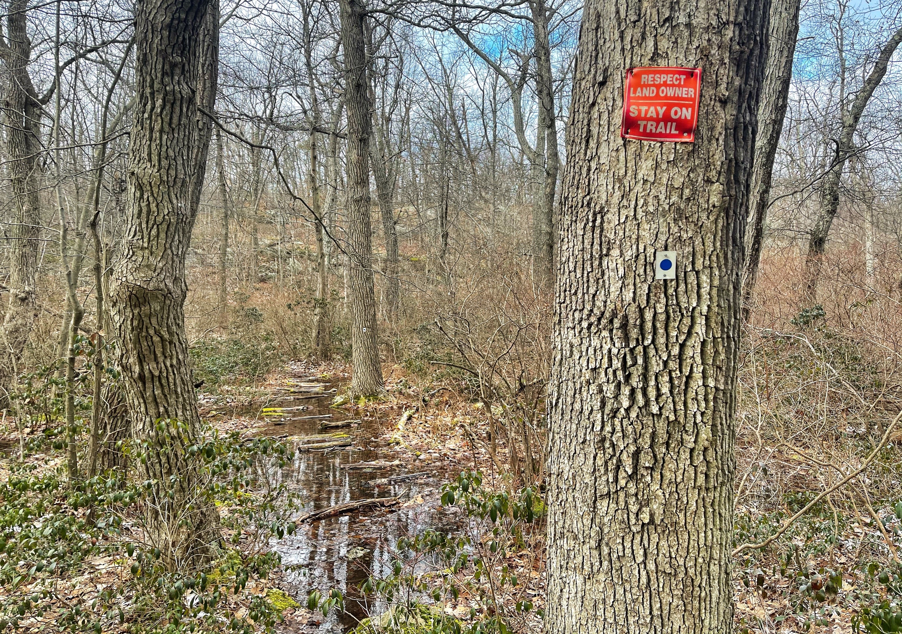
At the bottom of the ravine – about 0.4 miles from the Jessup Trail – you’ll reach a sign stating that you’re entering private property and to stay on trail. The trail here is completely underwater, with logs strewn about to help you cross, but without waterproof boots, you’ll may get your feet wet.

Once you navigate this wet area, make a right to continue to follow the blue blazes. After 0.1 miles, the trail make a sharp left and steeply climbs up to the Western Ridge Trail.
Near the top of the ridge, you connect with and turn right to follow the orange-blazed Western Ridge Trail.
Like the Jessup Trail, the Western Ridge Trail also follows exposed stone ridgelines dotted with small pitch pines, though this trail dips into fewer forested area.
After 0.85 miles, you’ll pass the junction with the white-blazed Sweet Clover Trail on your right, and a half mile late, you’ll reach the junction with the red-blazed Barton Swamp Trail. Here, turn right to follow the red blazes.
About 250 feet later, you’ll reach a junction with the white-blazed Trestle Trail marked with a rock cairn. Turn left here to follow the white blazes.
You’re now back on the Trestle Trail that you climbed up earlier. Continue downhill the way you came up. After just over 1.5 miles, you’ll reach Otterkill Road. Turn left and walk 0.2 miles along the shoulder back to the parking lot.


