Overview
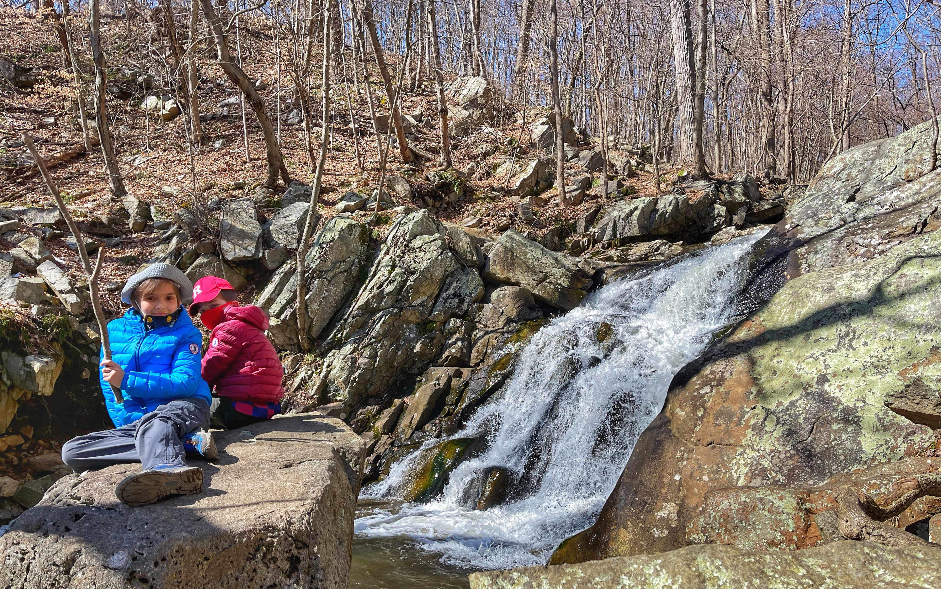
Schooley’s Mountain is an easy, kid-friendly 1-mile hike that follows a cascading stream to a waterfall with plenty of opportunities for climbing boulders. The hike can be extended a short distance to an overlook over a valley or turned into a loop for a bit longer hike.
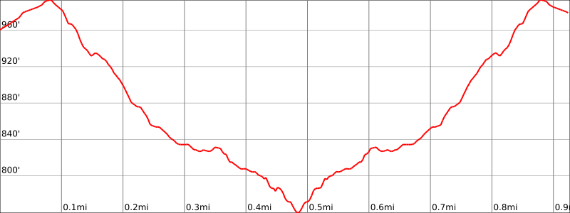
Hike Length: 1.0 miles
Elevation gain: +300 feet
Location: Schooley’s Mountain County Park, Washington Township, Morris County, NJ
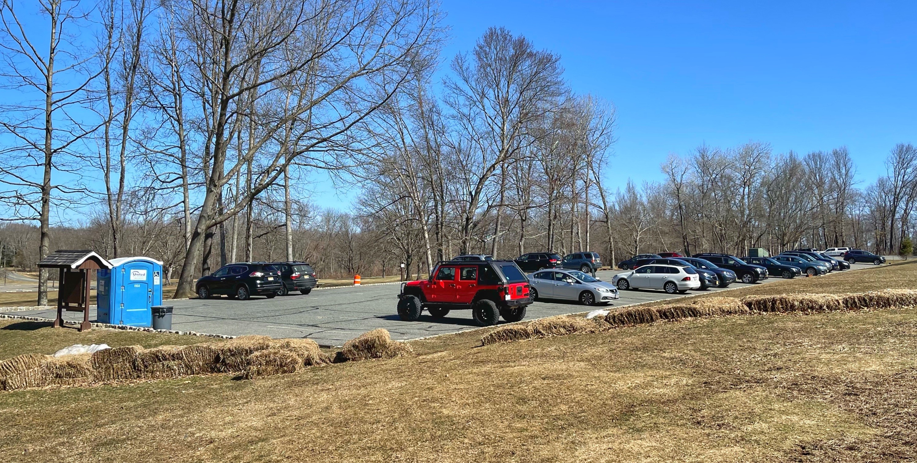
Parking:
From the entrance on East Springtown Road, turn into the park. To park near the trailhead, drive to the end of the road, then turn right and park in the parking lot (Google maps location). GPS address: 91 East Springtown Rd, Washington Township, NJ.
About Schooley’s Mountain
Nestled among the hills of western Morris County, Schooley’s Mountain County Park offers visitors 823 acres of recreational and leisure activities. Miles of hiking trails, a picnic area and shelter, athletic field, play area near the lake picnic grove, and natural amphitheater are features of this general purpose park.
Schooley’s Mountain County Park is named for the Schooley family, who were considerable proprietors of land in the area, circa 1700. In October of 1969, the Morris County Park Commission acquired the land from the YMCA of Morrisown. Schooley’s Mountain County Park was dedicated and opened to the public in 1974.
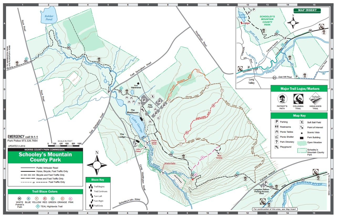
Maps
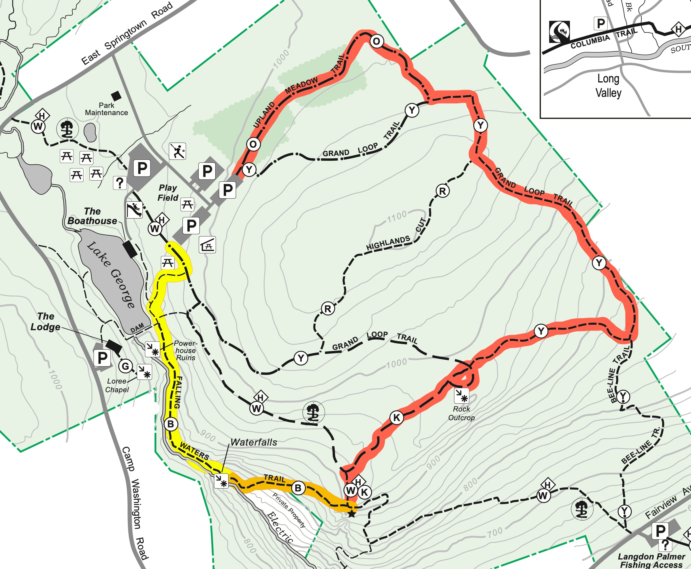
- Schooley’s Mountain County Park Trail Map (similar map in color)
Hike options
- Shortest (yellow): Out-and-back to waterfall: 1.0 mile, +300′ elevation gain
- A little longer (orange): Out-and-back to waterfall and overlook: 1.4 mi, +460′ elevation gain
- Longest (red): Loop that includes waterfall + overlook + rock outcrop: 2.3 mi, +540′ elevation gain
Trail description
Walk beyond the south end of the parking lot to the trail, then turn left onto the trail. At the first junction, stay right and follow the trail downhill as it reaches the shore of Lake George.

Just ahead, you’ll see a dam across the southern end of the lake. Continue straight (do not cross the dam). You’re now following the blue-blazed Falling Waters Trail.

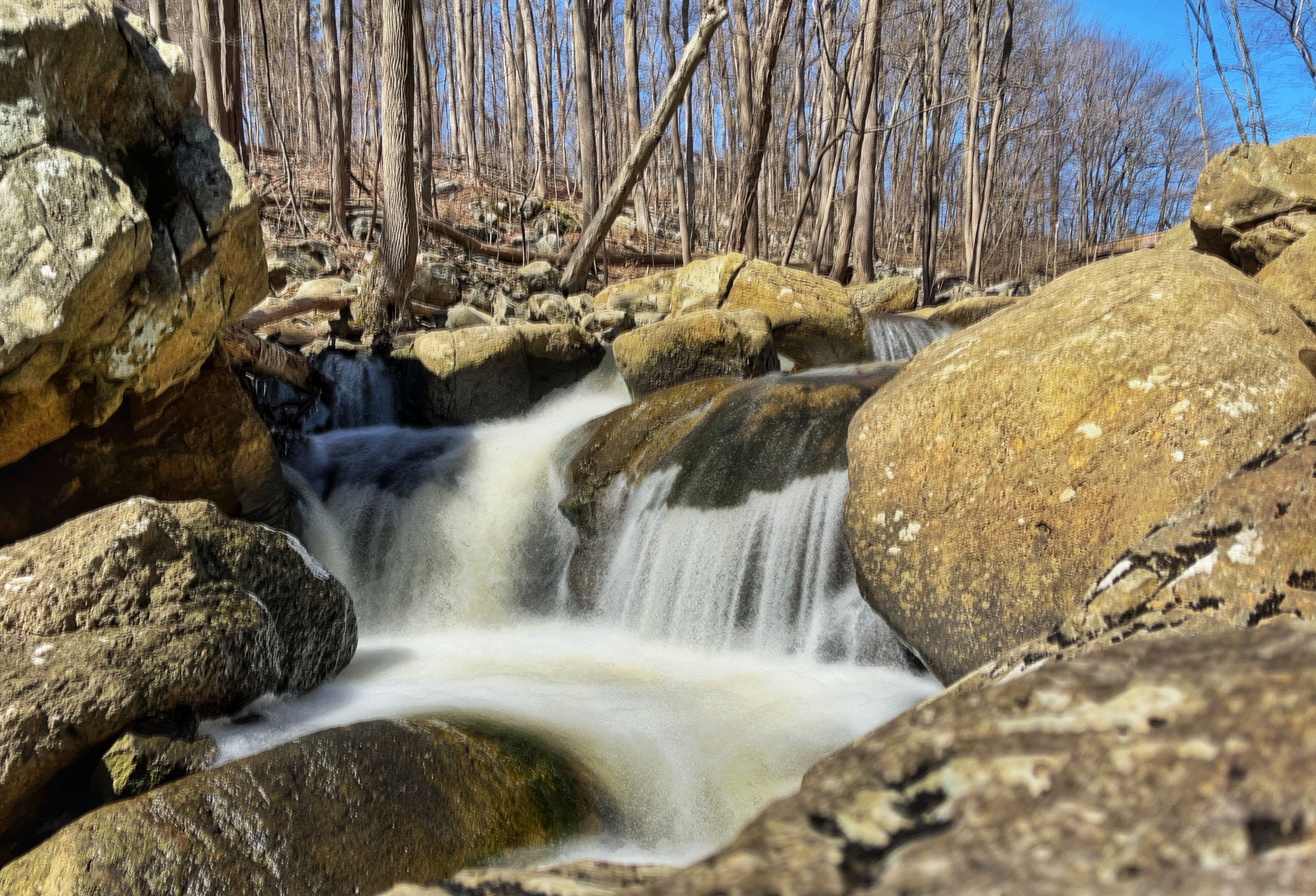
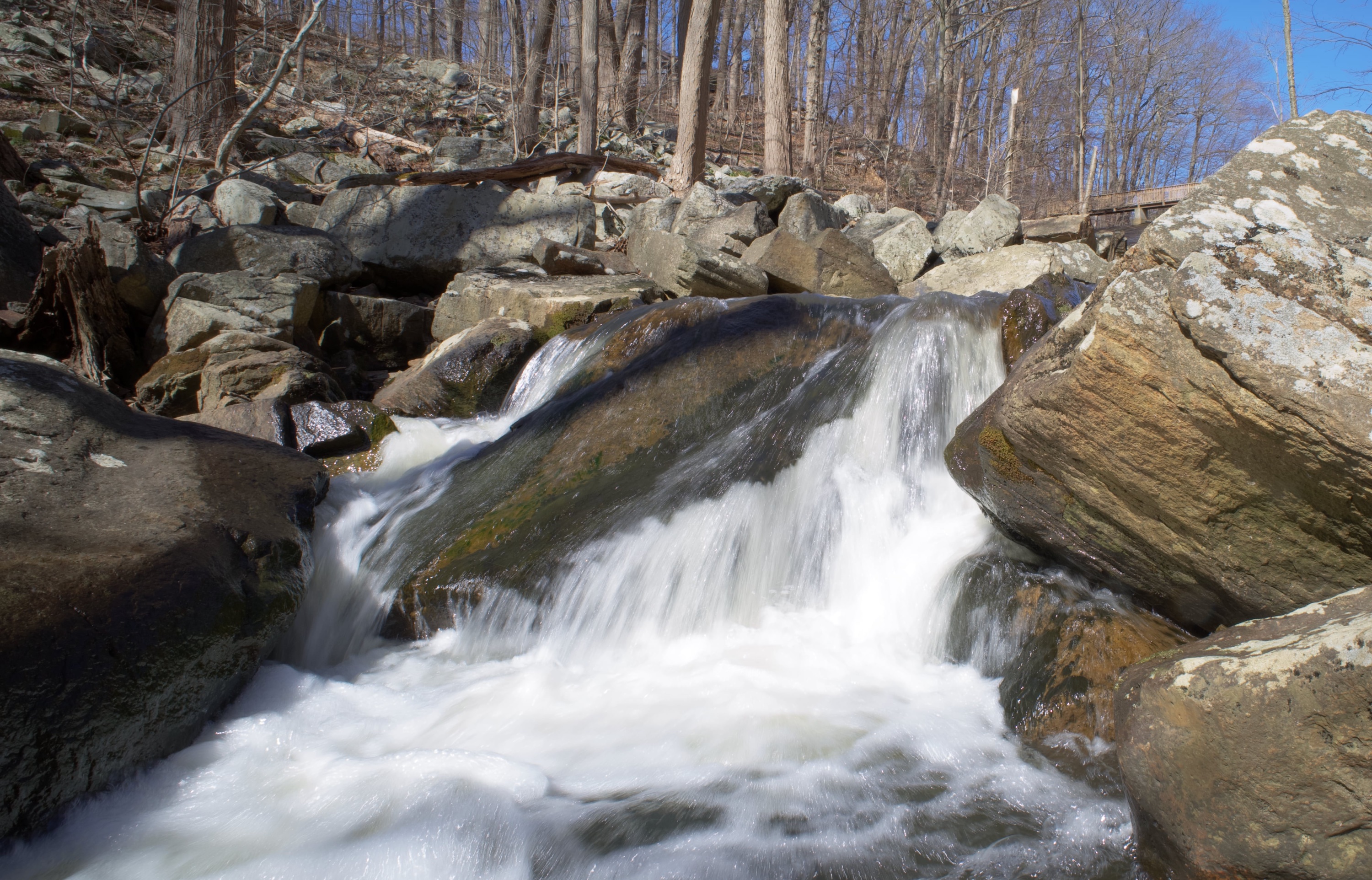
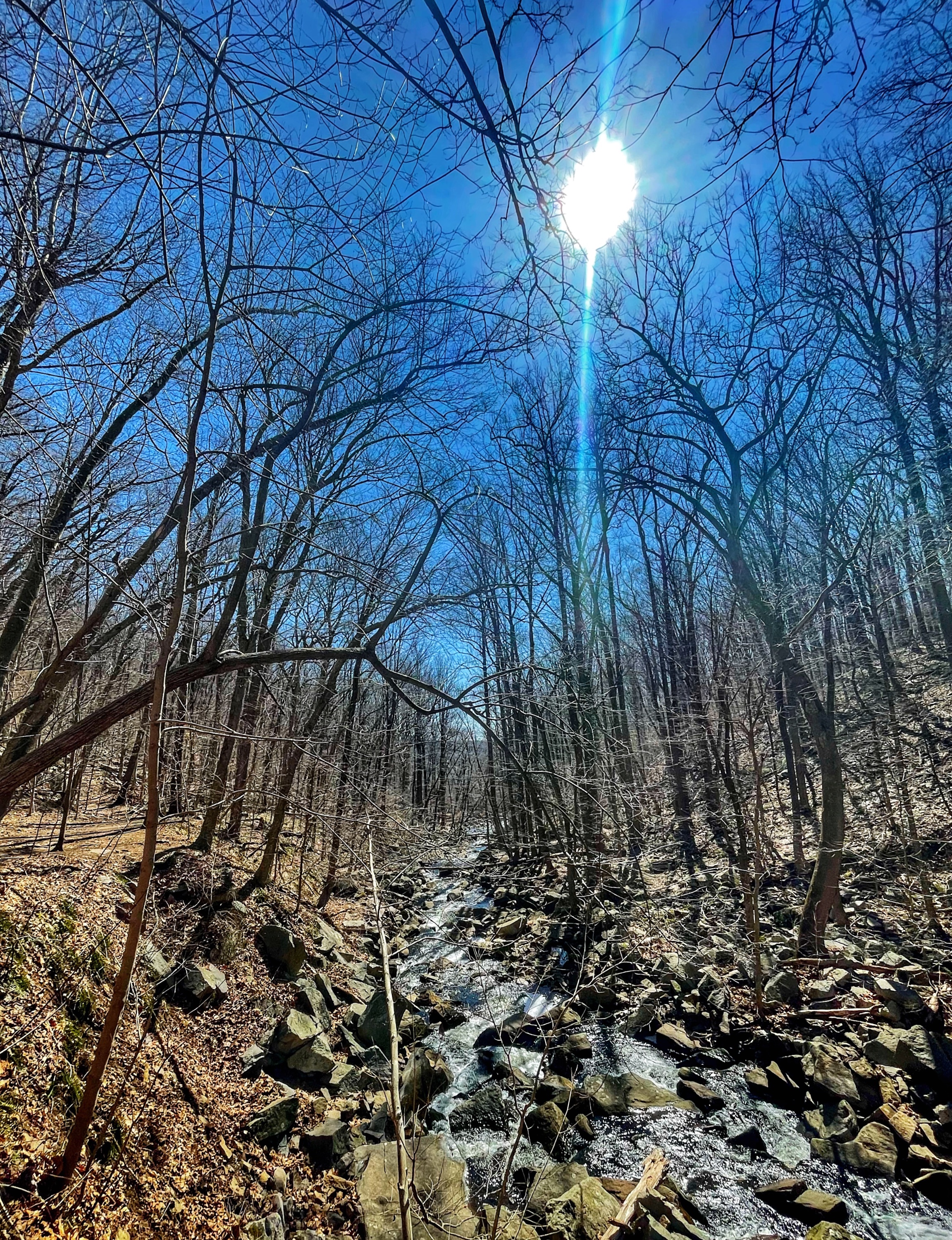
The trail heads downhill and parallels Electric Brook on the right, passing a series of picturesque cascades.
A few benches along the way provide nice views of the stream.

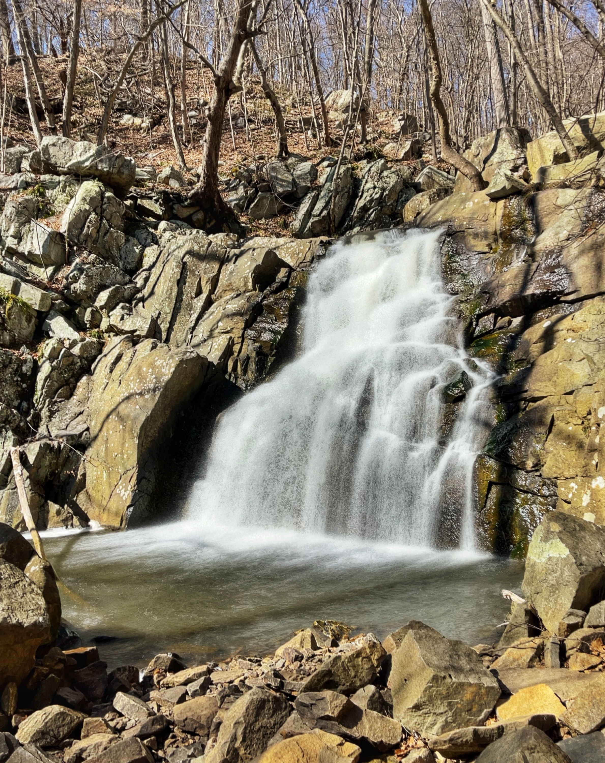
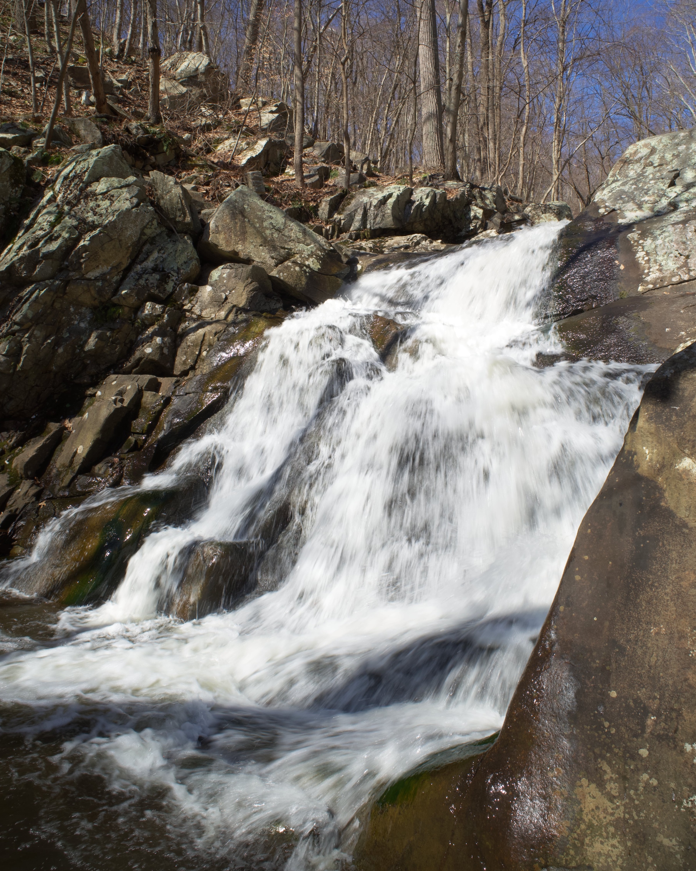
About a half mile from the trailhead, you’ll reach the two-stage waterfall. You’ll need to do some light scrambling downhill to see each one.

You can stop here, turn around and retrace your steps to the parking lot for a total of a 1 mile hike.
For a longer hike that includes an overlook (orange option)
Continue to follow the trail downhill as it follows the stream.
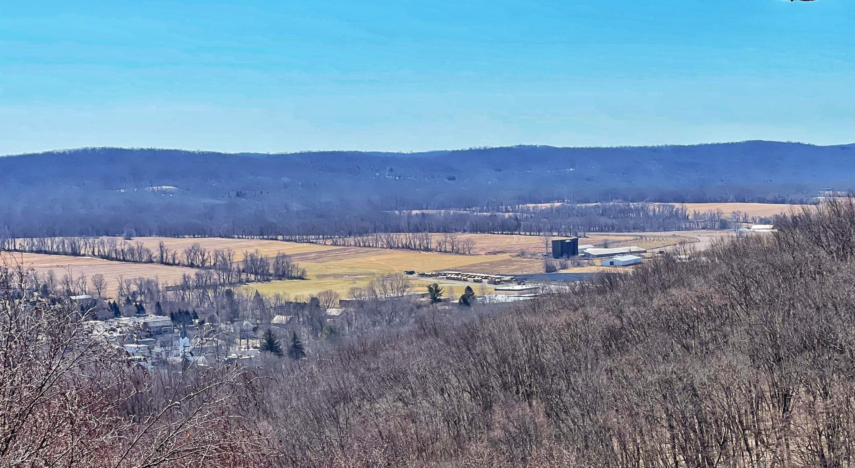
The trail soon heads uphill and climbs about 250 feet and reaches a trail junction. Just beyond the junction is an outcrop with a viewpoint to the southwest over the valley.

You could turn around here for a total 1.4 mile hike.
For a longer loop hike (red option)
For a longer hike, follow the pink trail uphill. When you reach a junction, turn right on a short spur trail to check out the rock outcrop. The view here is obscured by trees, but the rocks provide climbing opportunities for kids.

Head back to the junction. Now, follow the yellow trail to the east. When you reach a junction, turn left to follow the yellow-blazed Grand Loop Trail. Pass a junction with the red trail on your left, but continue straight. The trail makes a sharp turn to the left and then a short distance ahead, look for the the three orange blazes marking the start of the Upland Meadow Trail. Follow this trail – which may be wet and muddy. The trail crosses two grassy areas.
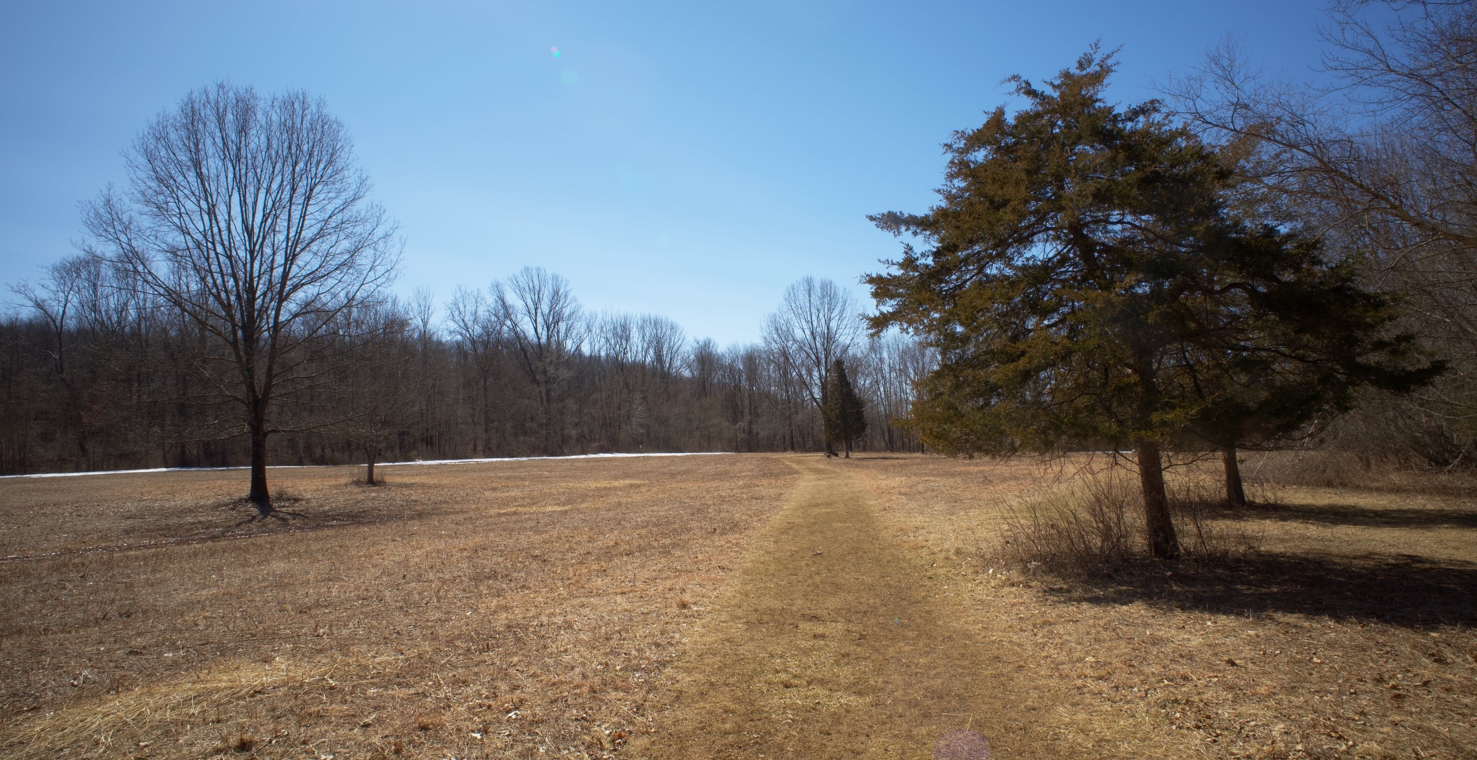
After the second one, the trail ends at the opposite end of the parking lot where you parked. Walk through the parking lot to return to your car.


