Overview
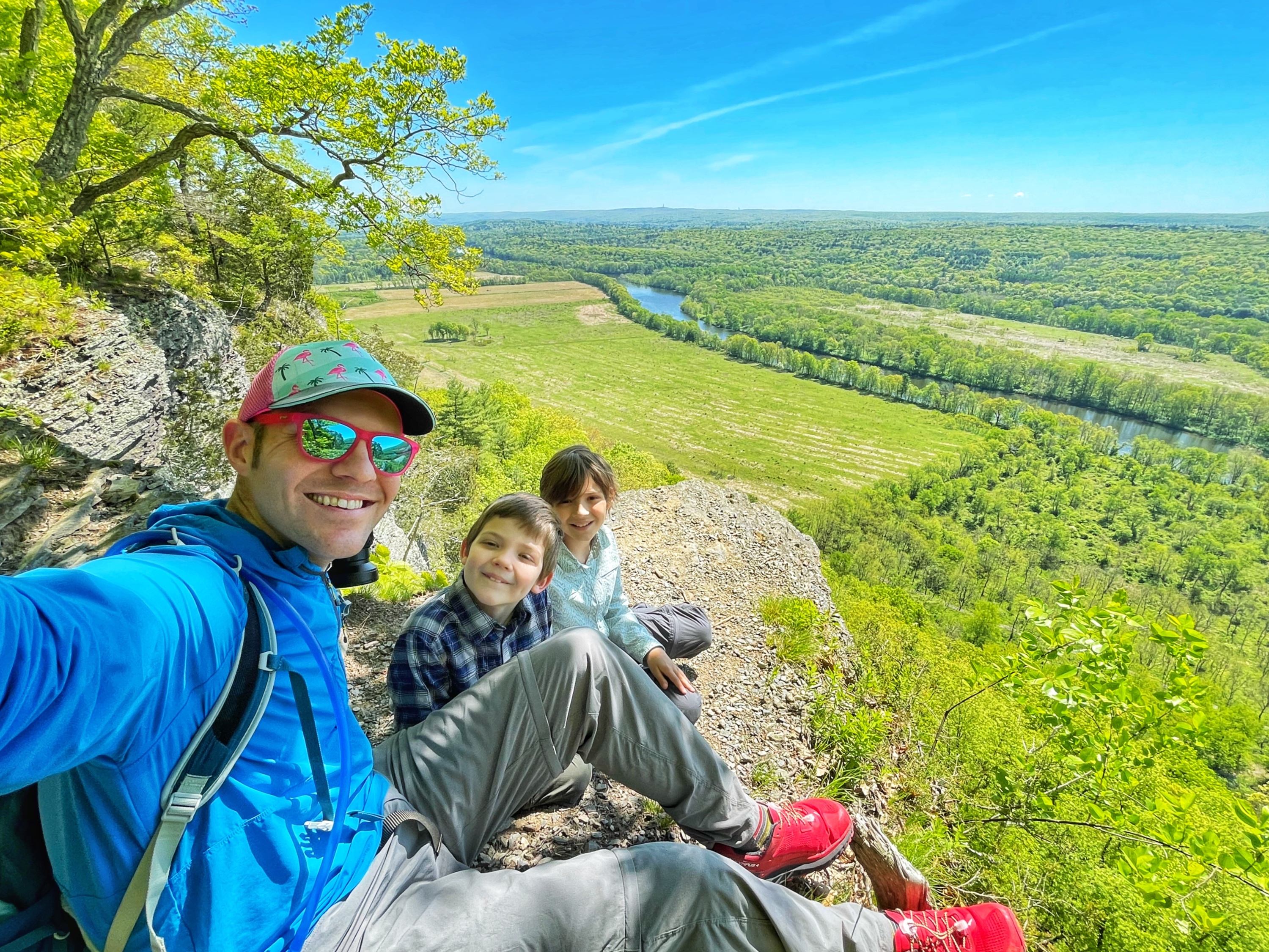
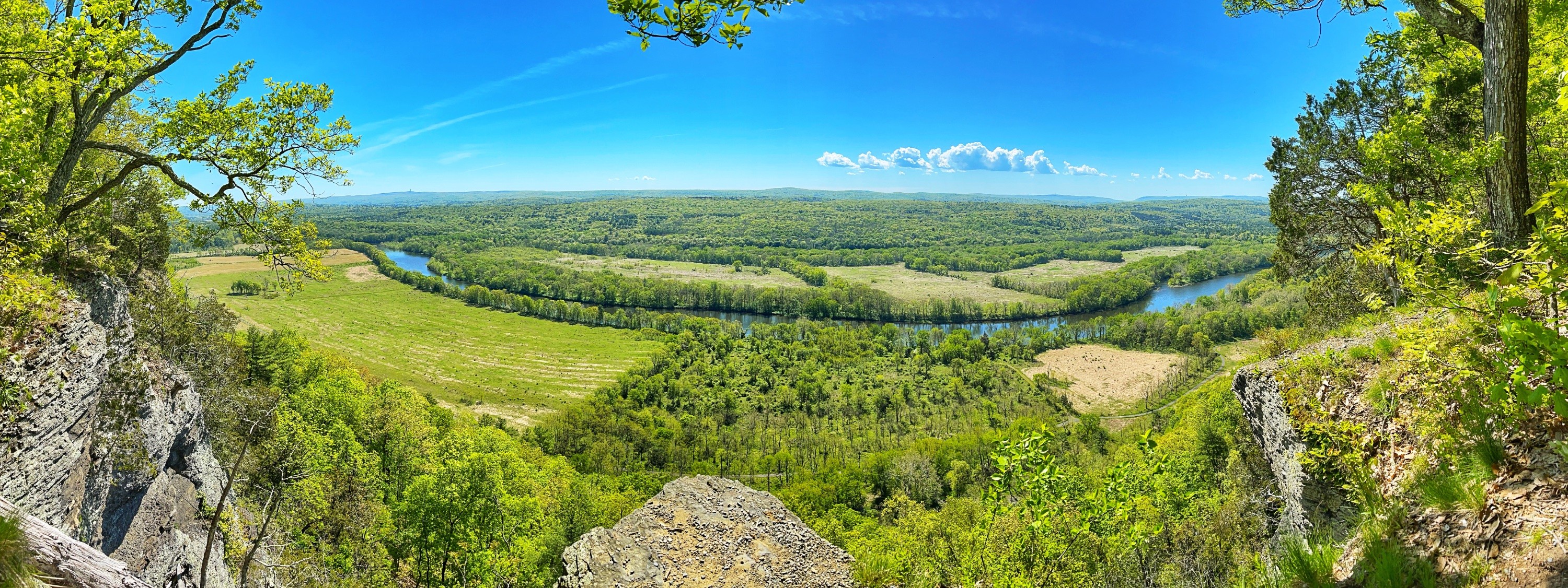
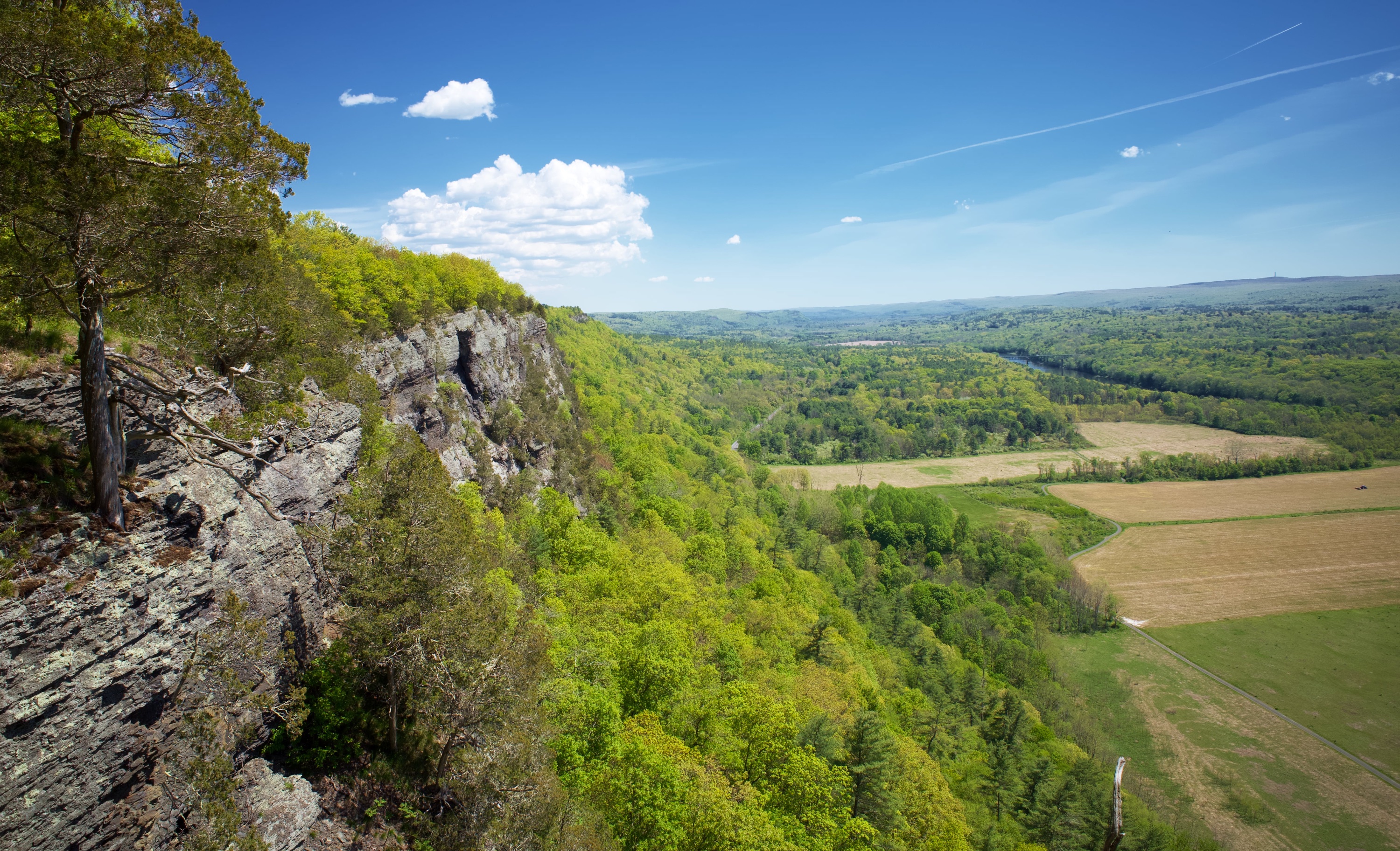
This is a great loop hike with a big reward to effort ratio featuring two waterfalls – including Raymondskill Falls – the tallest in Pennsylvania – and dramatic views along a cliff of the winding Delaware River, Kittatinny Mountain, and even High Point in New Jersey.
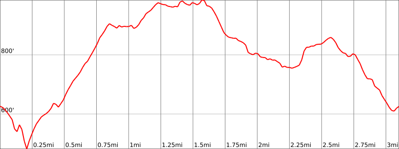
Hike Length: 3.1 miles
Elevation gain: +750 feet
Location: Raymondskill Road, Delaware Water Gap National Recreation Area, Milford, PA
Parking:
Park at the Raymondskill Falls parking area on Raymondskill Road (Google maps location). There are actually two parking areas within a short walking distance of each other and they can fill up quickly especially on weekends. The main one is a little further north along Raymondskill Road and has composting toilets. The southern lot is at the trailhead for the Hackers Trail.
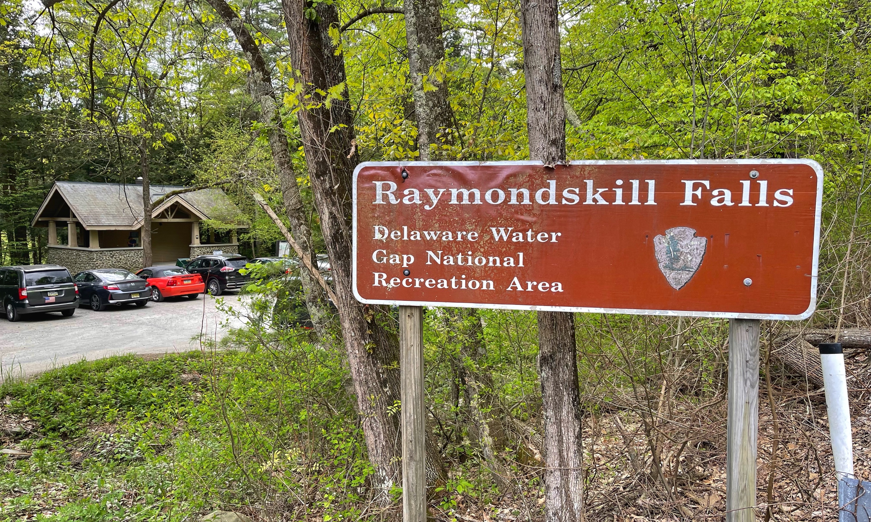
There are composting toilets at the Raymondskill Falls Trailhead lot.
Maps
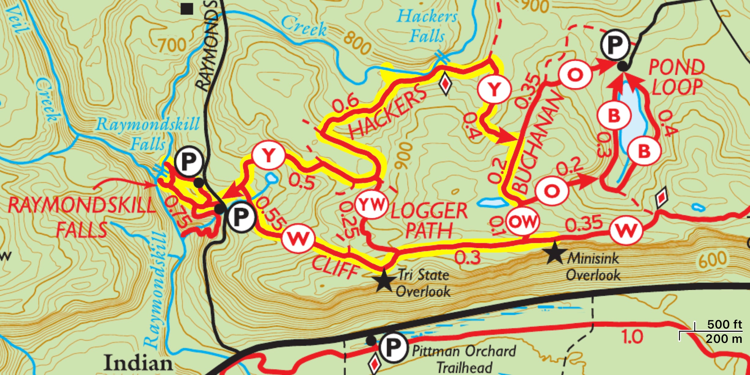
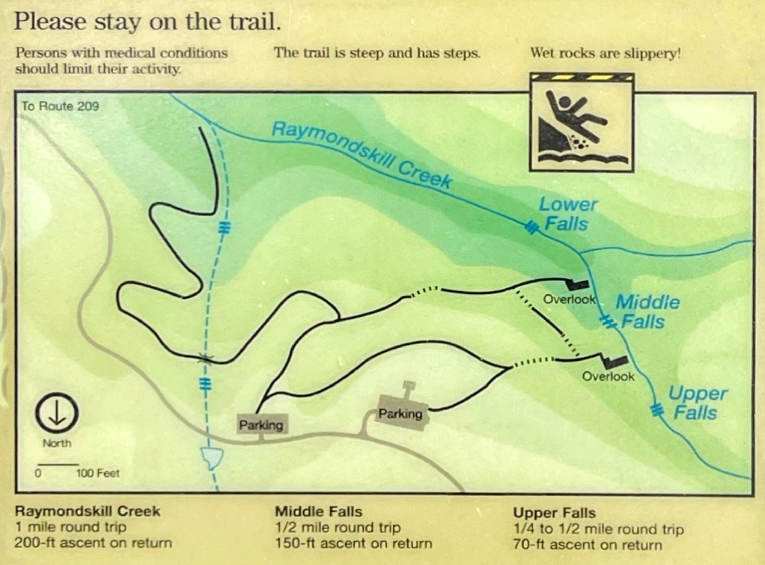
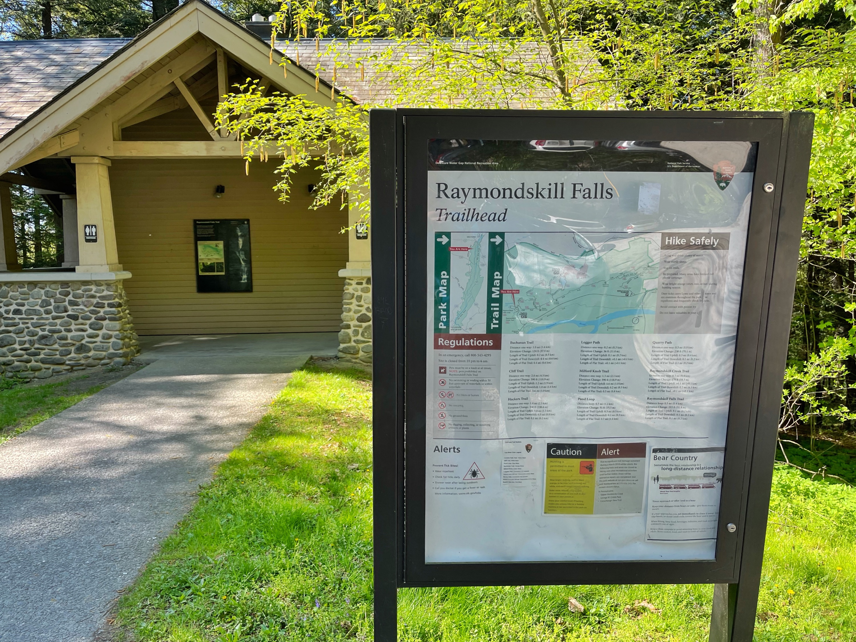
- Cliff Park Trails Map, National Park Service
- Delaware Water Gap & Kittatinny Trails Map #123, NY-NJ Trail Conference (print)
- Delaware Water Gap & Kittatinny Trails Map #123, NY-NJ Trail Conference (Avenza)
Trail description
Starting from the main (northern) parking lot, head to the end of the lot and enter the Raymondskill Creek Trail which you’ll follow a short distance downhill to the upper viewing area of the top part of the Raymondskill Falls.
Raymondskill Falls
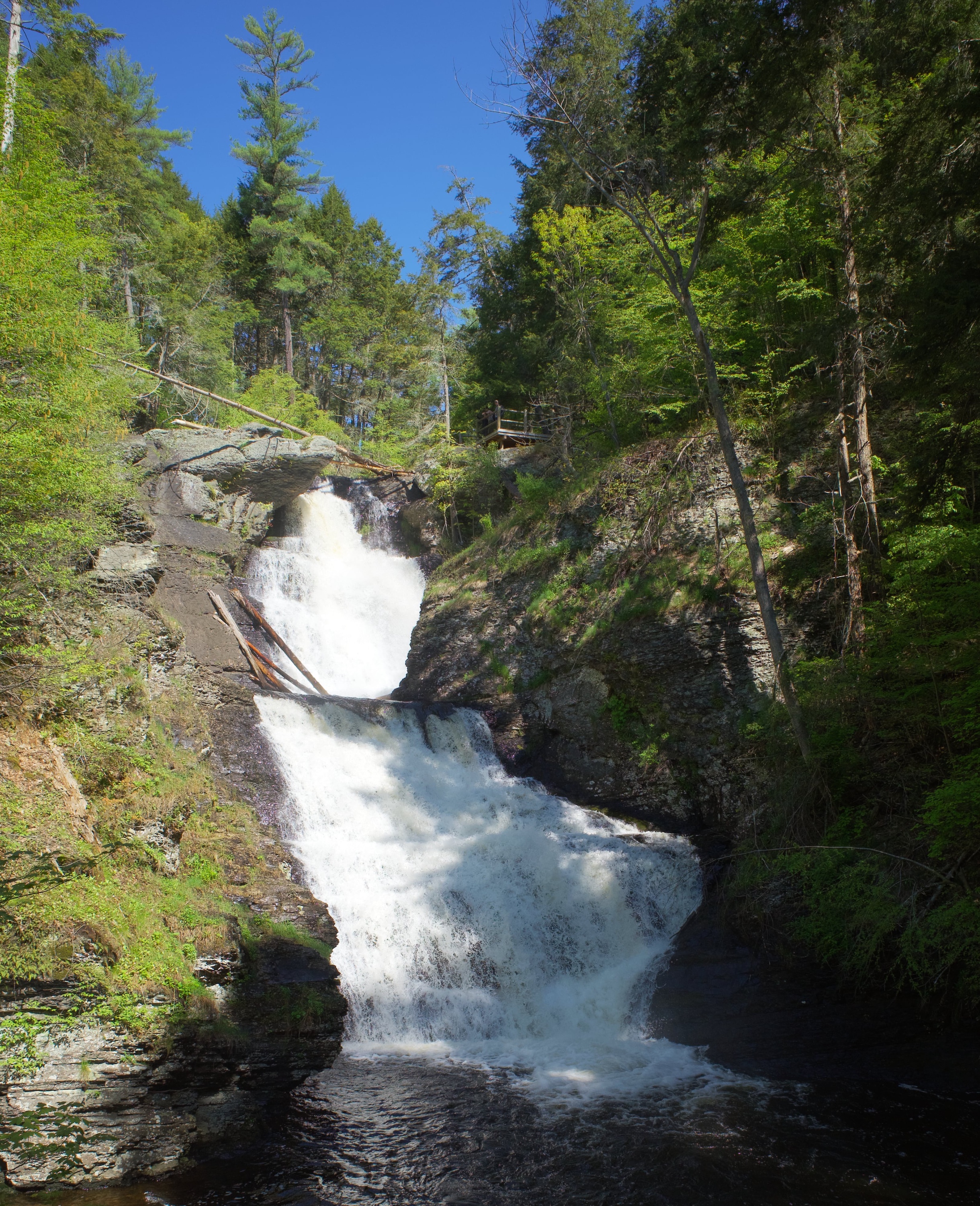
The three-tiered Raymondskill Falls is the tallest waterfall in Pennsylvania. If you add the drops from each tier together, the waterfall is only a few feet shorter than Niagara Falls.
National Park Service – Delaware Water Gap National Recreation Area
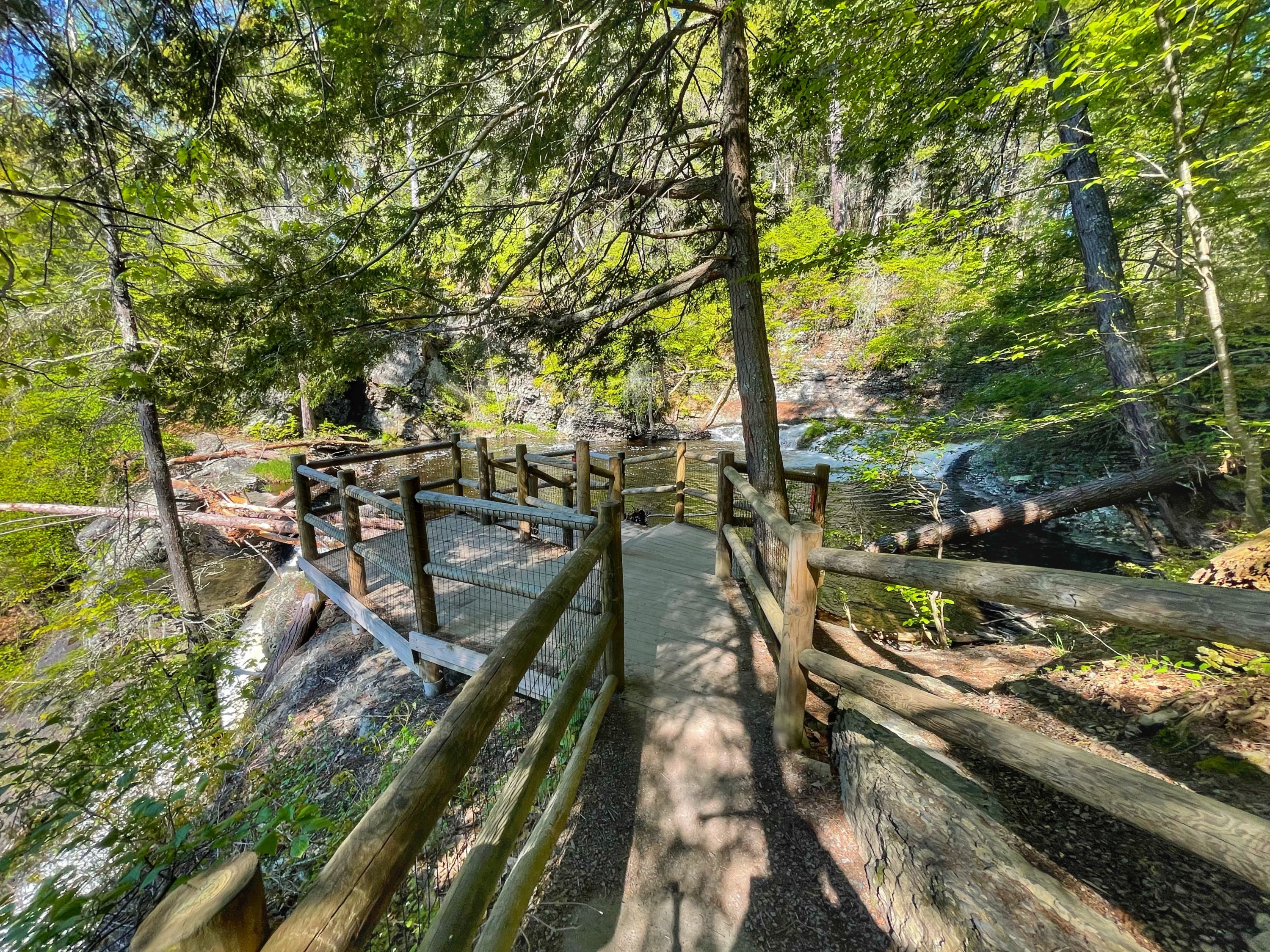
From here you can see the upper pool, a cascade that feeds into the upper pool, and the top of one of the drops of the three-tiered falls.
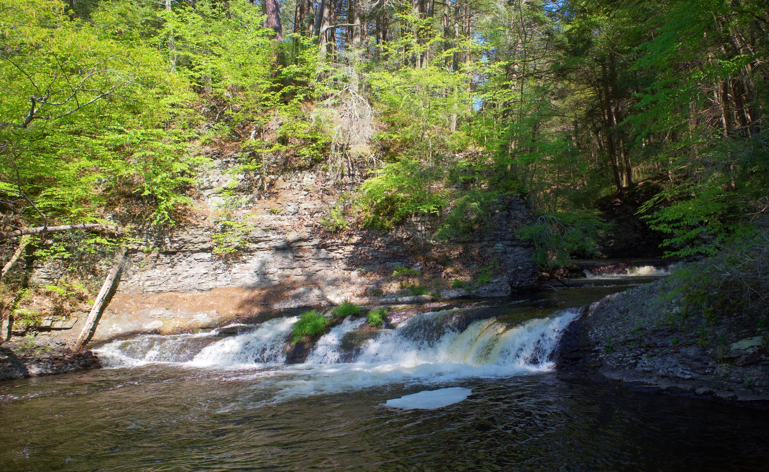
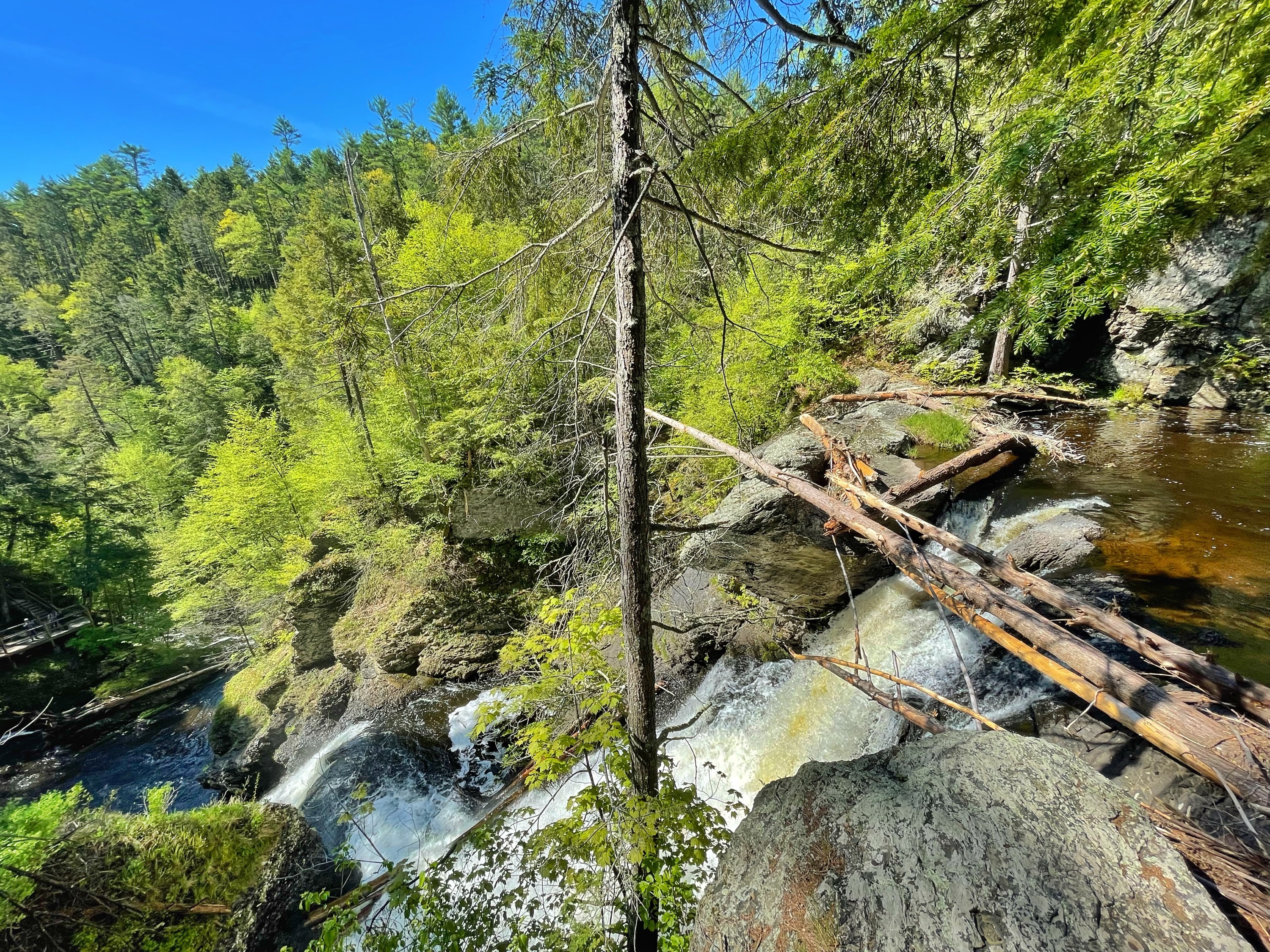
Retrace your steps back to the trail, then stay right to walk steeply downhill. When you reach a junction a short distance ahead, make a right to walk a very short distance to the lower viewing area with great views of falls, including the top two tiers straight ahead and the brink of the lower stage to the left.
Retrace your steps and at the fork, stay straight (or right) to continue ahead. On the right you’ll pass a spur trail leading a quarter mile downhill to Raymondskill Creek. When I visited, the trail was closed. Continue ahead a short distance to reach the southern parking lot on Raymondskill Road. Walk through the lot and cross the street to reach the trailhead for the yellow-blazed Hackers Trail.
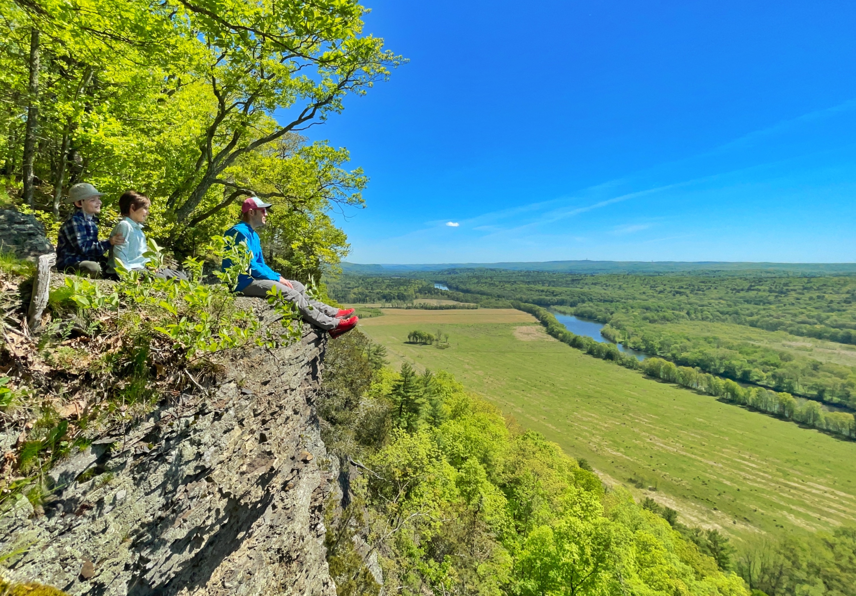
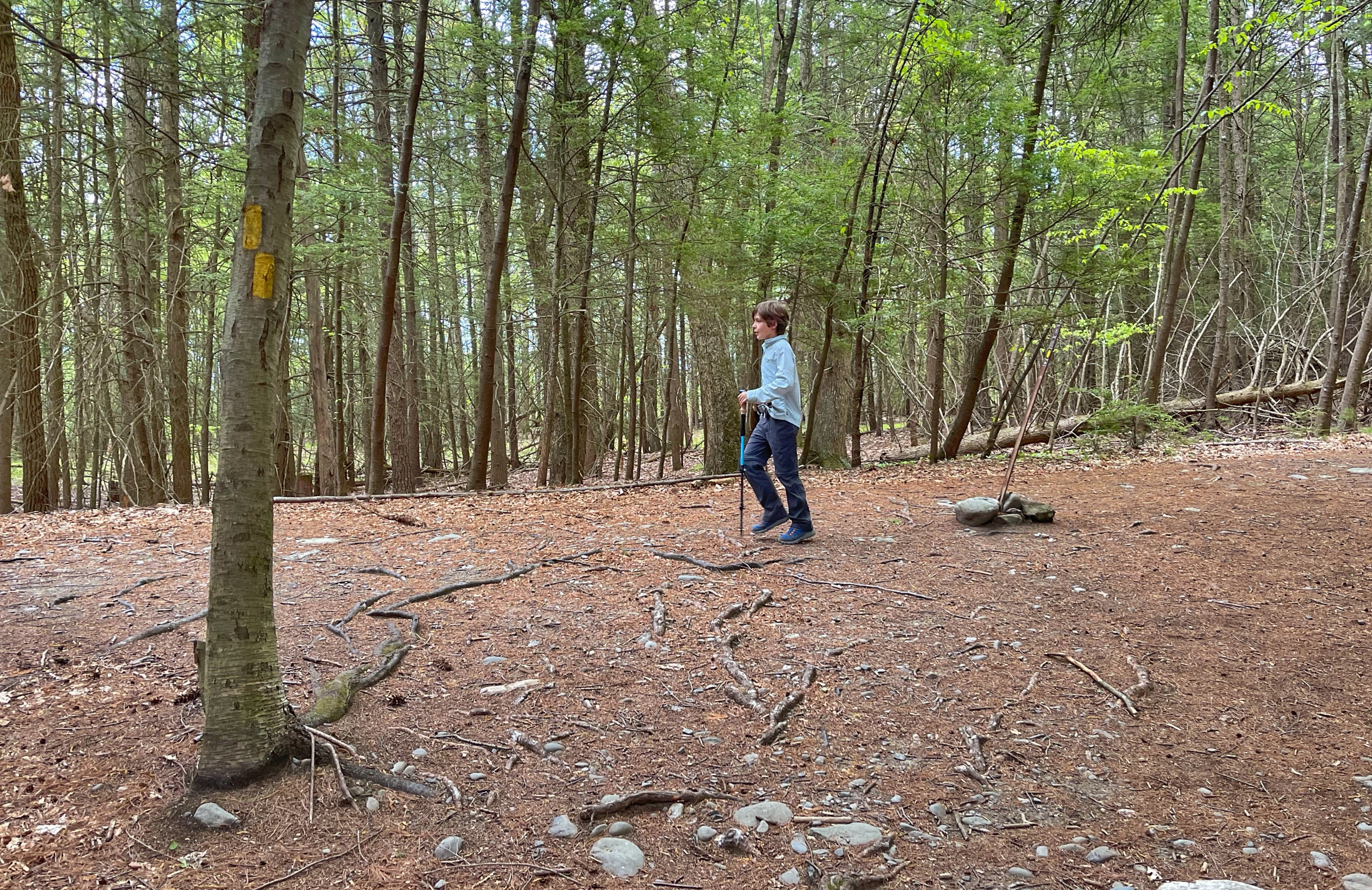
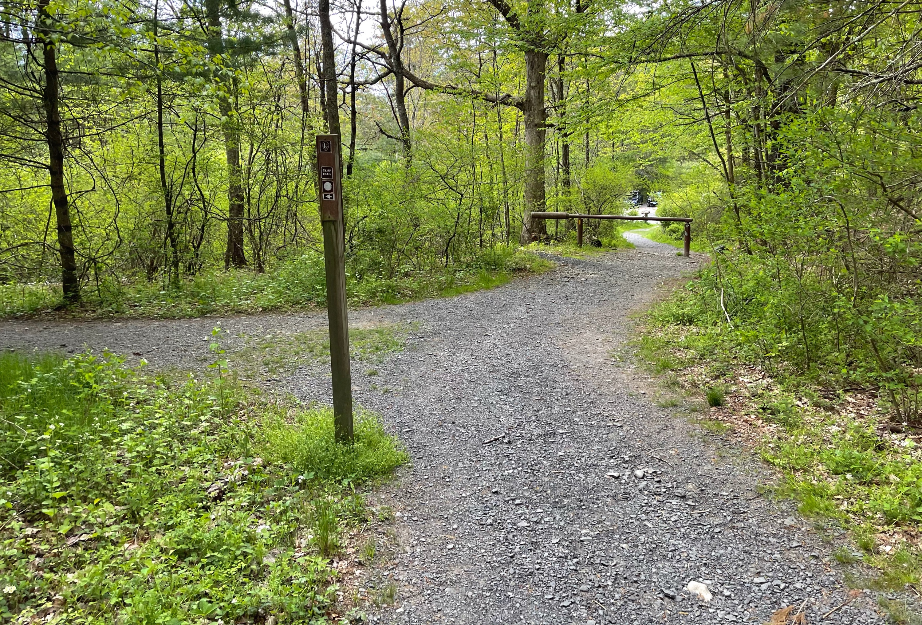
Go straight for a short distance and soon reach a junction with the white-blazed Cliff Trail. Here, we’ll make a sharp right turn to follow the Cliff Trail. We’ll immediately cross a small bridge and then the trail heads uphill, climbing about 300 feet over a half mile along a woods road. At the top, you’ll see a small fence, which marks a viewpoint – Tri State Overlook.
Tri State Overlook

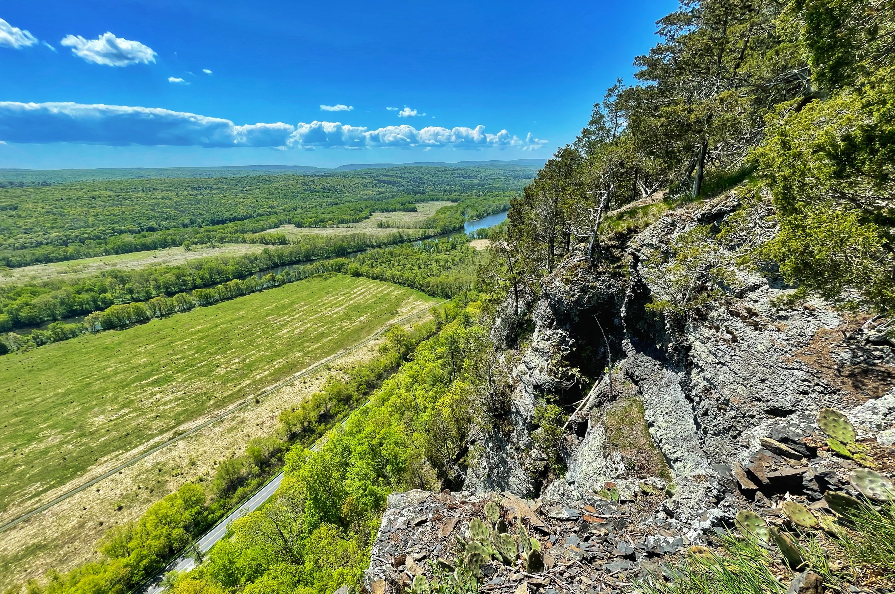
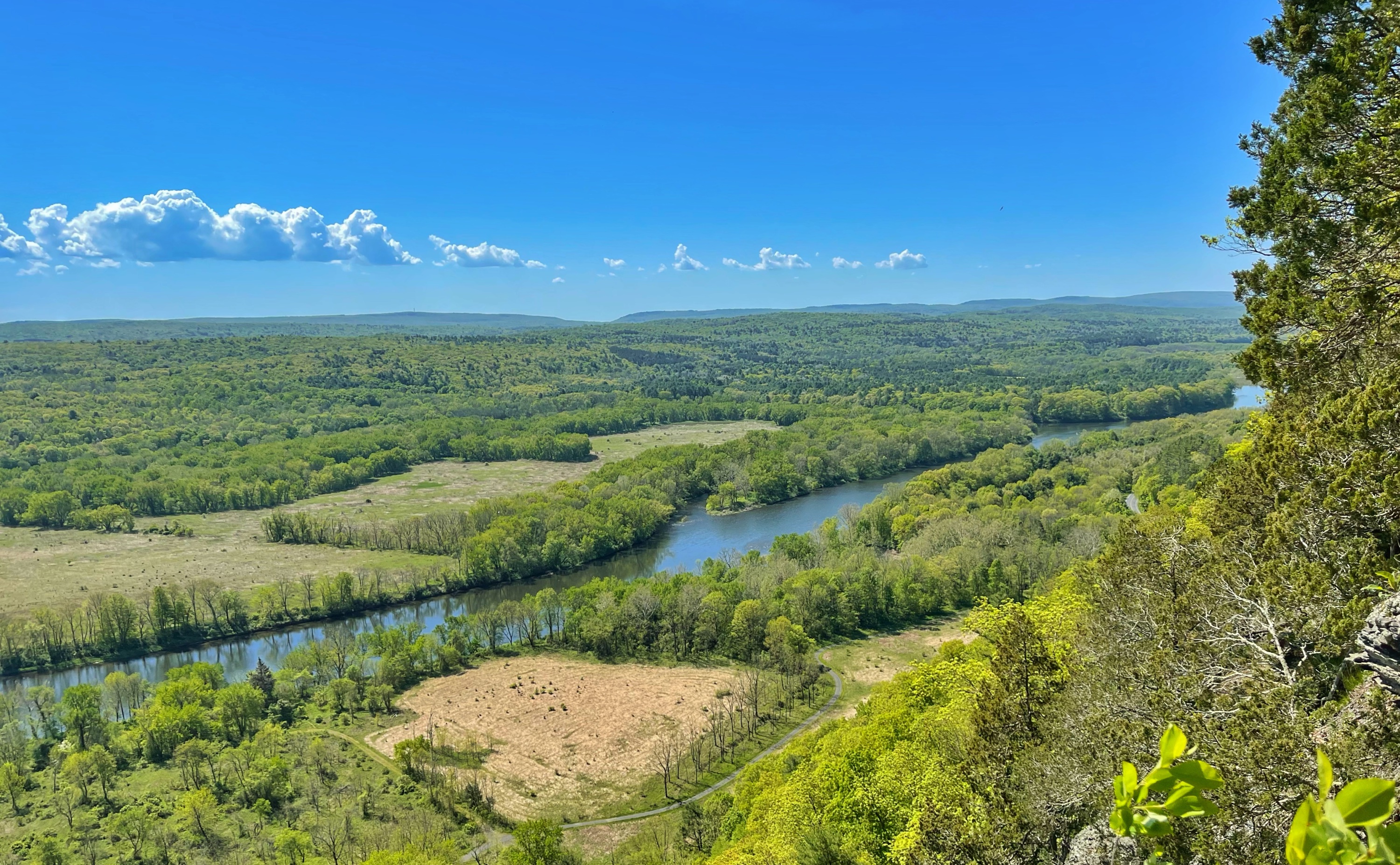
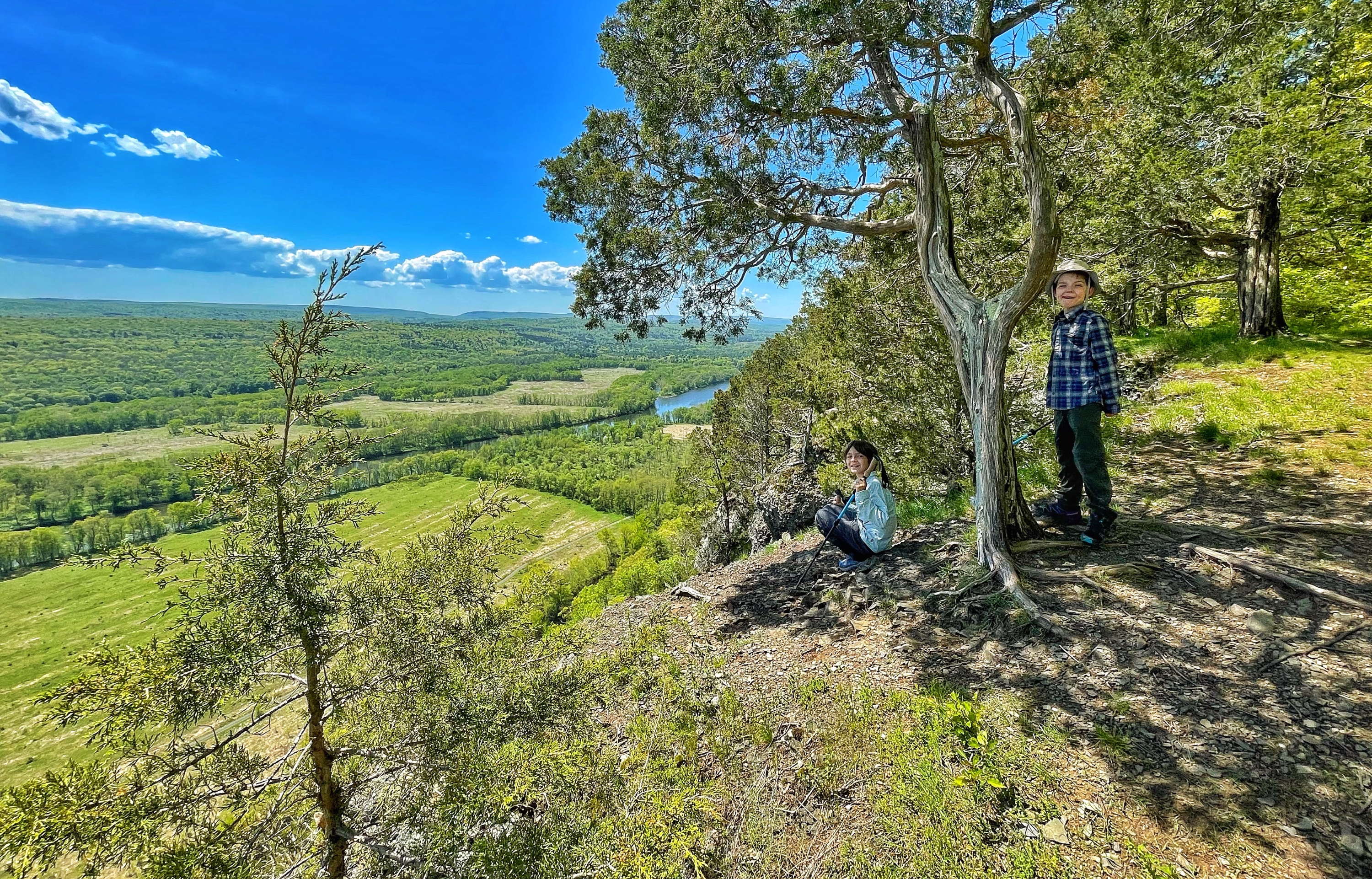
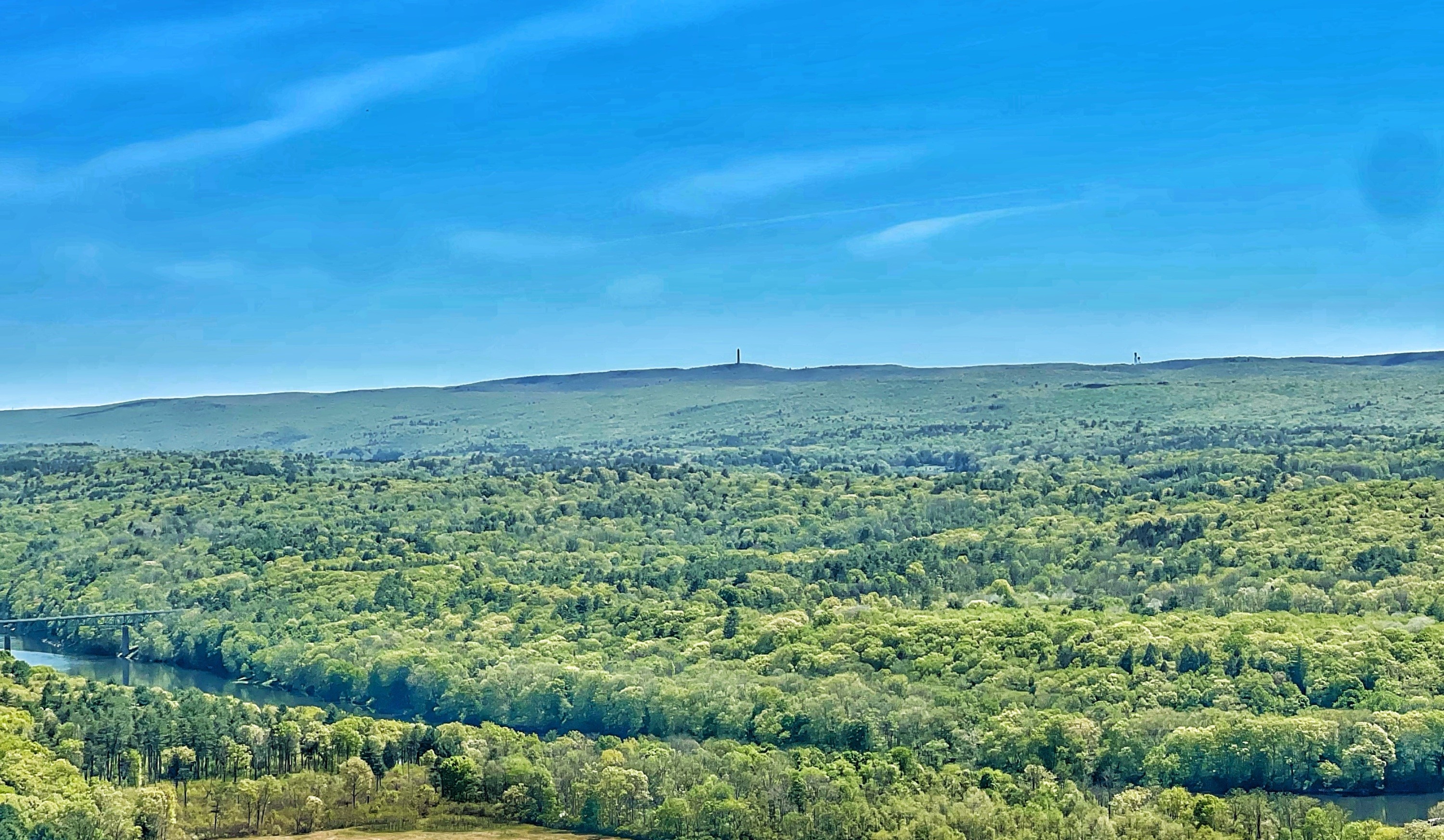
We stepped past the fence and onto a ledge where we were treated to a panoramic view of the Delaware River, farmland in the valley, Kittatinny Mountain, and visible far off in the distance on a clear day, High Point Monument at the highest spot in New Jersey.
After enjoying the view, we’ll continue north. Here you have two options – you can continue to follow the official white-blazed Cliff Trail or – and what I would recommend instead – the unofficial, unmarked footpath which more closely follows the cliff and offers more views along the way. Either way you’ll be able to enjoy the Minisink Overlook up ahead, but you’ll miss several other views if you follow the blazed Cliff Trail.
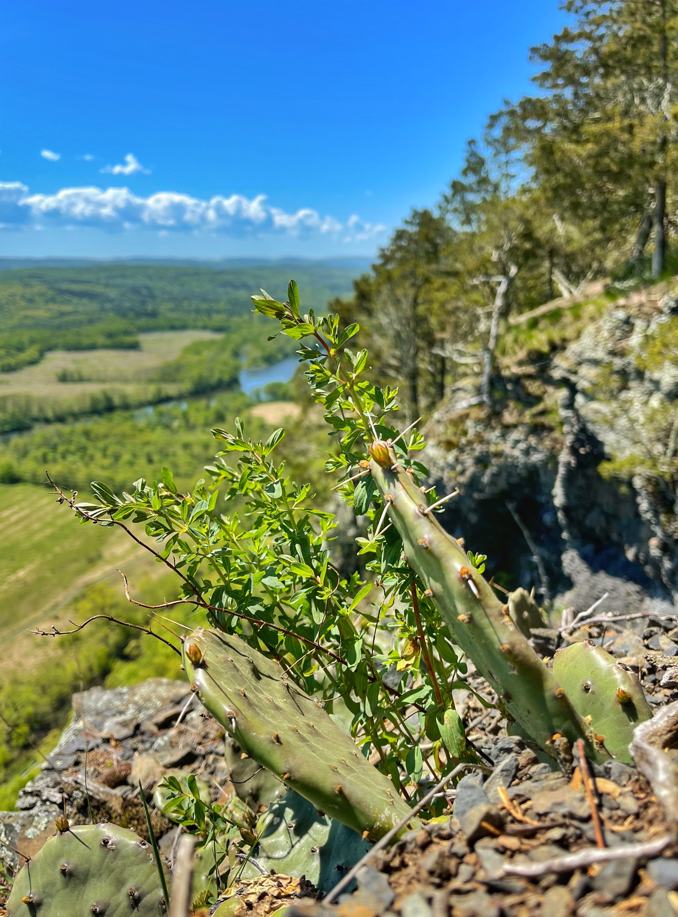
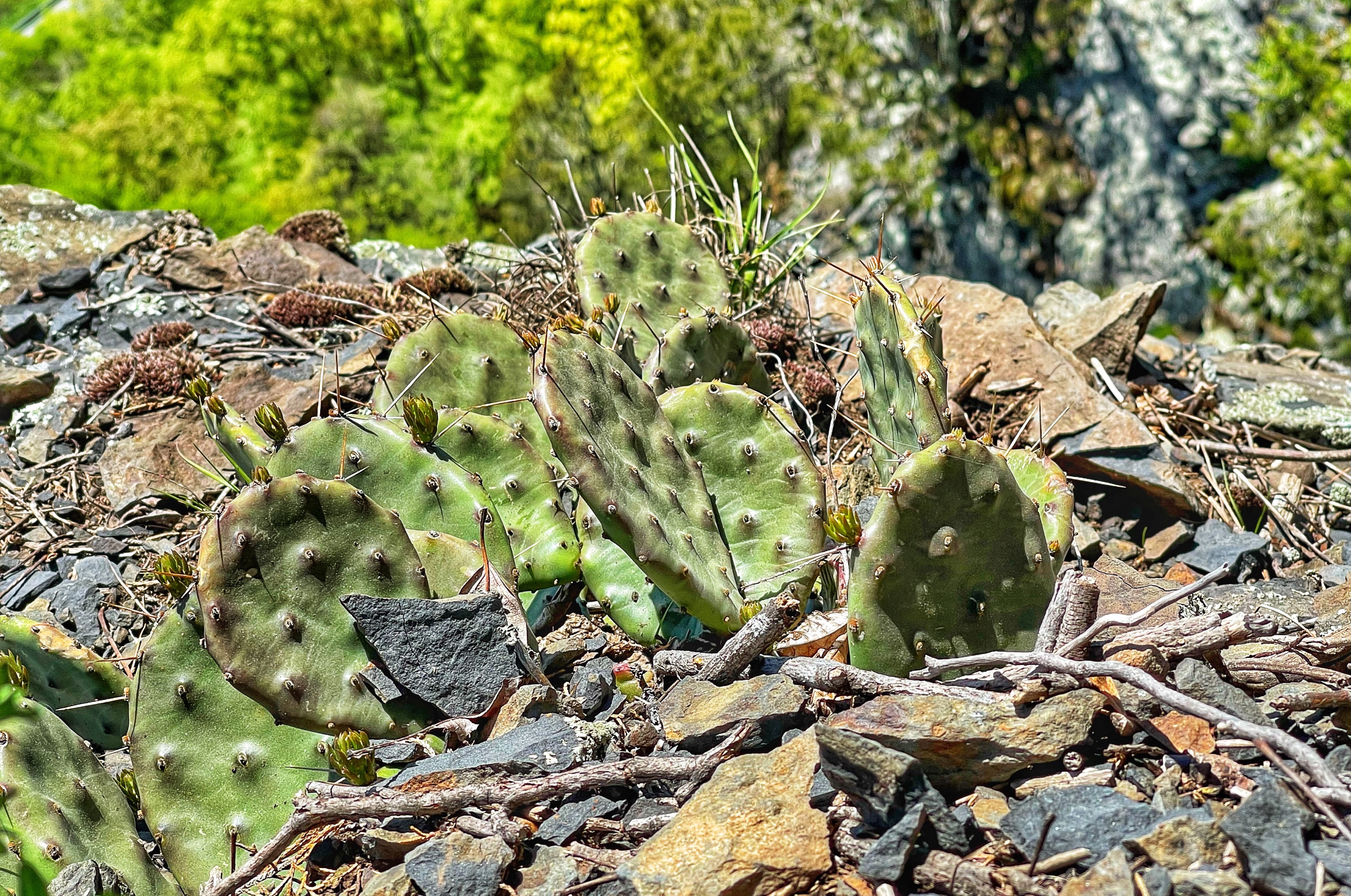
Continue north along the footpath. Along the way, you’ll pass several viewpoints. If you look closely along part of the trail where the cliff is exposed with little shade, you’ll see a patch of prickly pear cactus growing. You might be surprised to find cactus on a mountaintop in Pennsylvania, but these plants thrive in sunny areas with well-drained soil, which the edge of the cliff provides.
Minisink Overlook
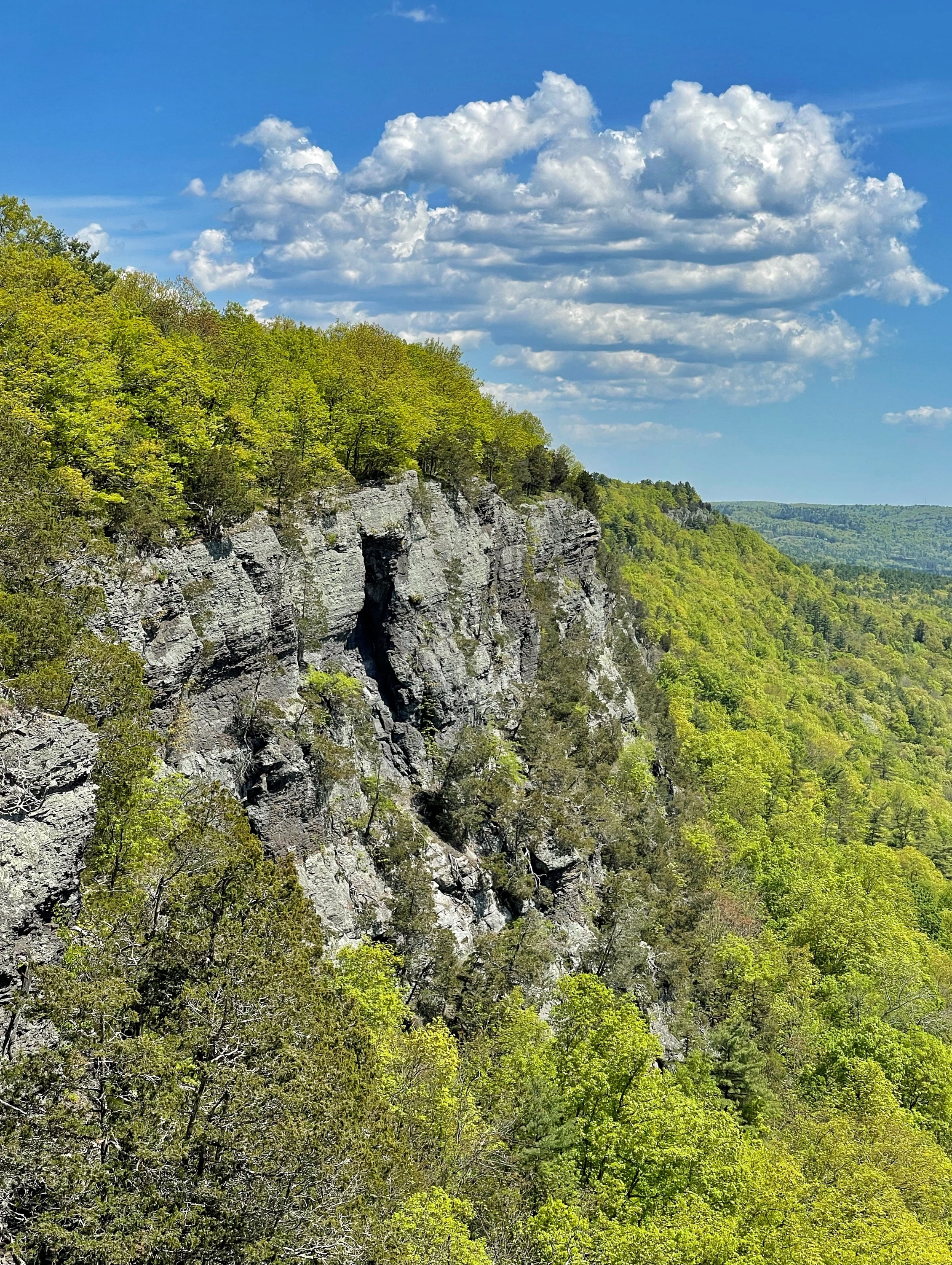
Not far ahead, the footpath ends where it rejoins the Cliff Trail at another great viewpoint – Minisink Overlook. There’s a bench here providing a nice spot to take a break and have a snack while you enjoy the views. The view of the dark cliffs to the north is particularly dramatic. Also off to the northeast is High Point Monument.
After enjoying the view, take the white-blazed Cliff Trail (not the unmarked footpath) south for about 500 feet. You’ll then reach a junction with an orange and white blazed trail which connects the Cliff Trail to the orange-blazed Buchanan Trail, named for the Buchanan Family who owned the land from 1803 until 2002.
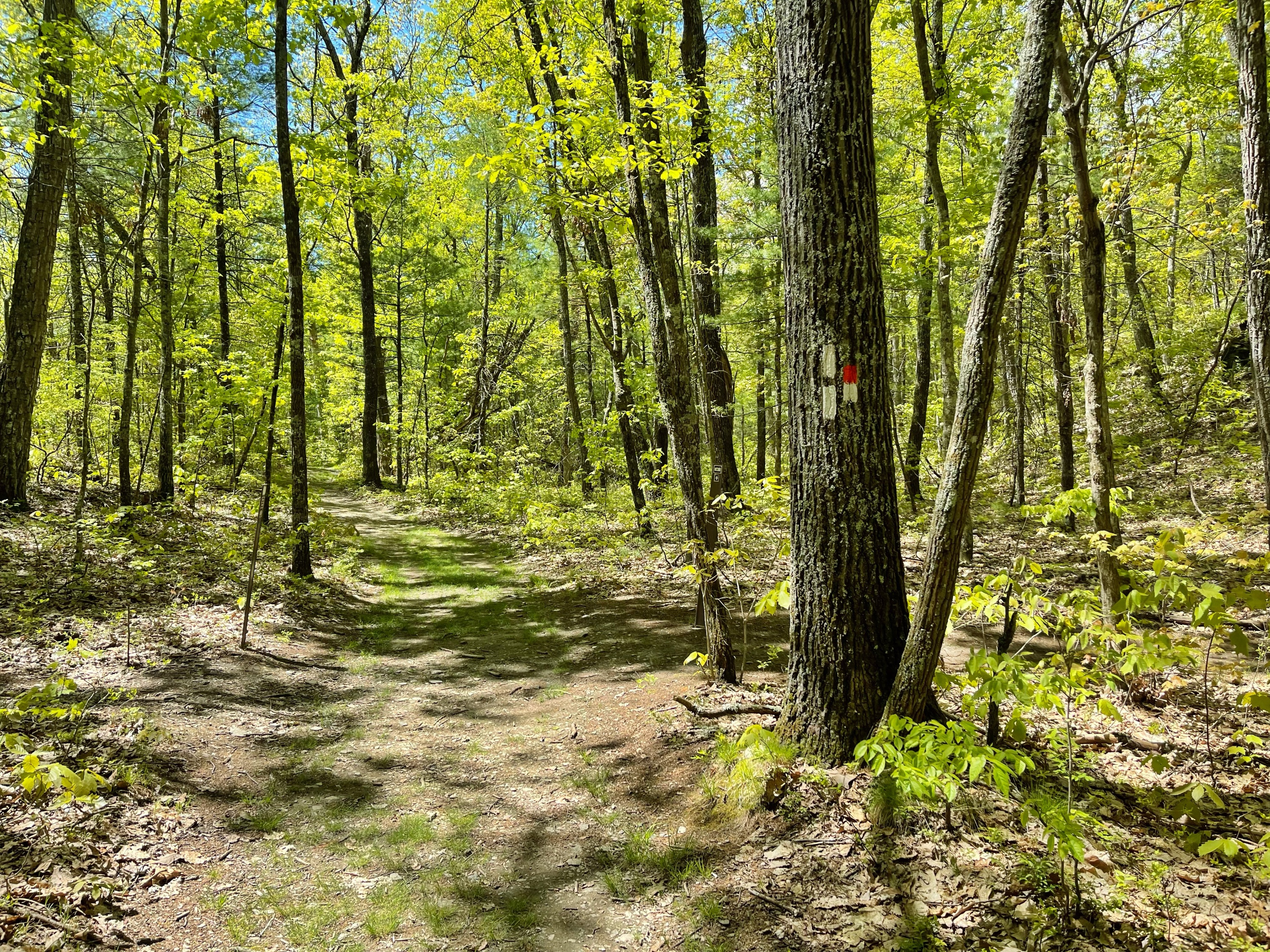
Turn right and follow the orange and white blazes. At the first junction you reach, stay to the right, then a very short distance further you’ll reach a junction with the Buchanan Trail. Turn left to follow the orange-blazed Buchanan Trail.
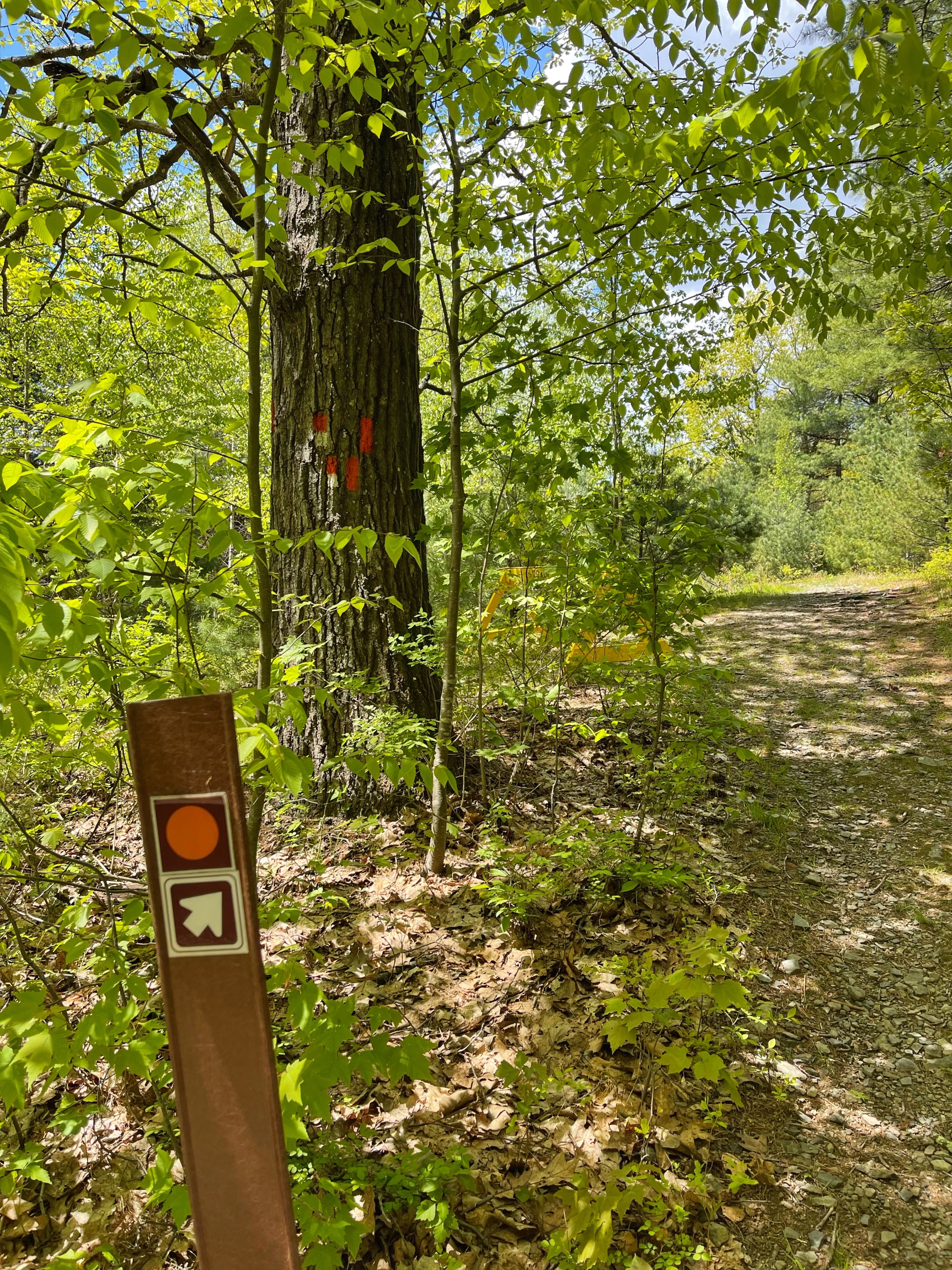
About 0.3 miles ahead, you’ll reach a junction with the yellow-blazed Hackers Trail.
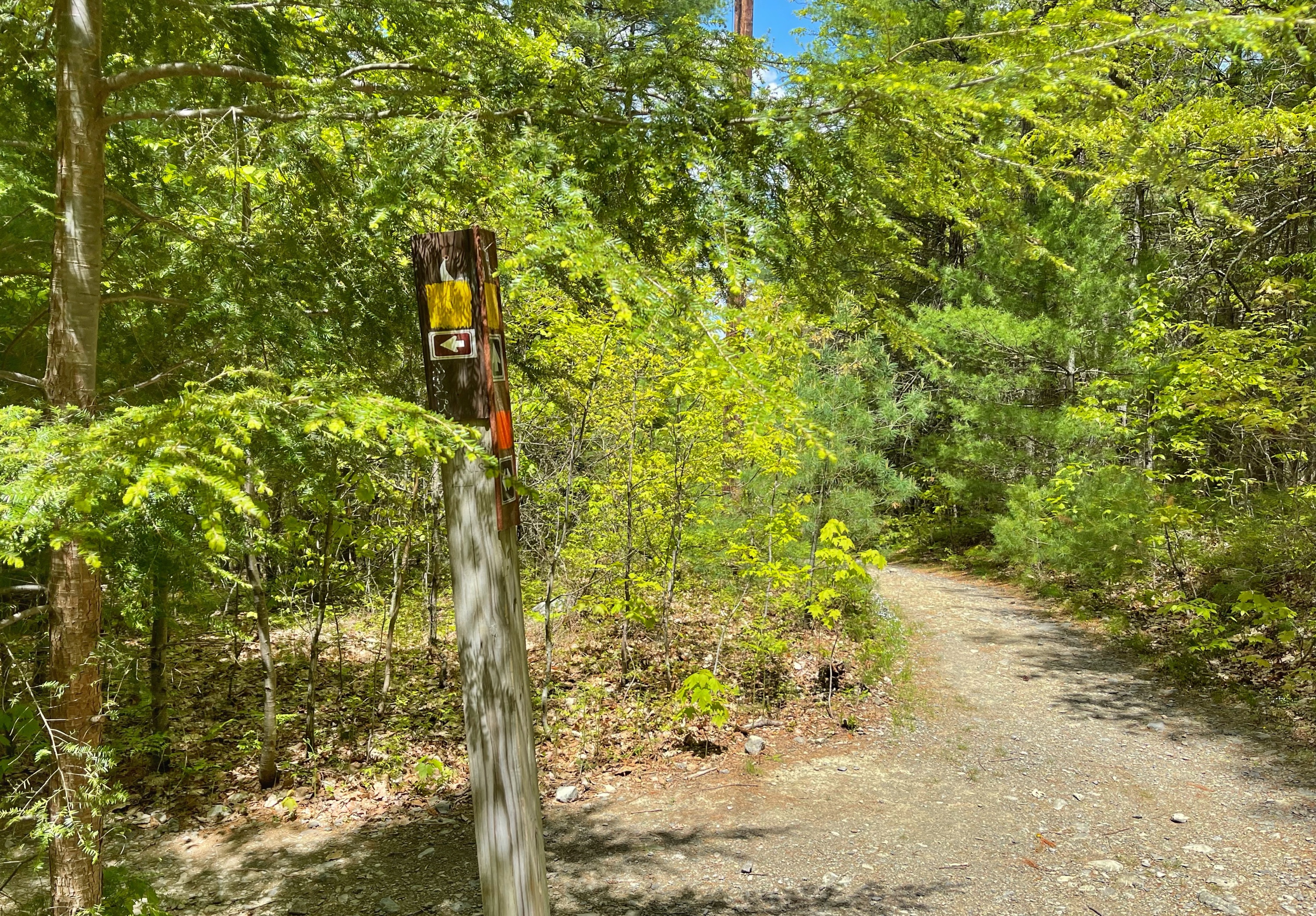
Turn left to follow the yellow blazes for about 0.4 miles where you’ll reach a trail junction with a woods road. At this junction is a sign with a lot of rules.
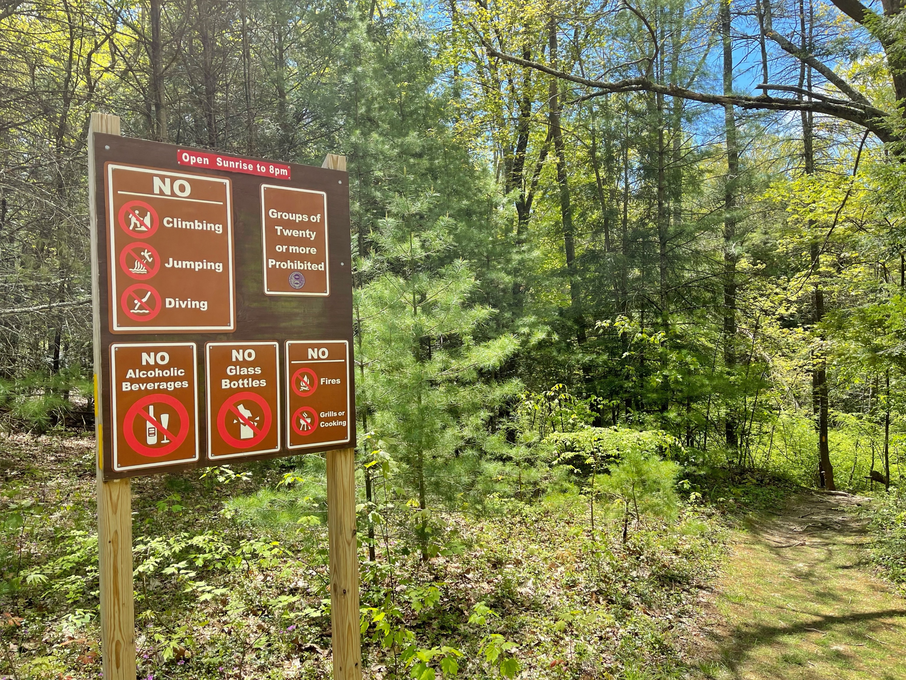
Stay left at the sign (or if you’re facing the sign, go towards the right) and follow the yellow blazes as the trail descends towards Raymondskill Creek.
Hackers Fall
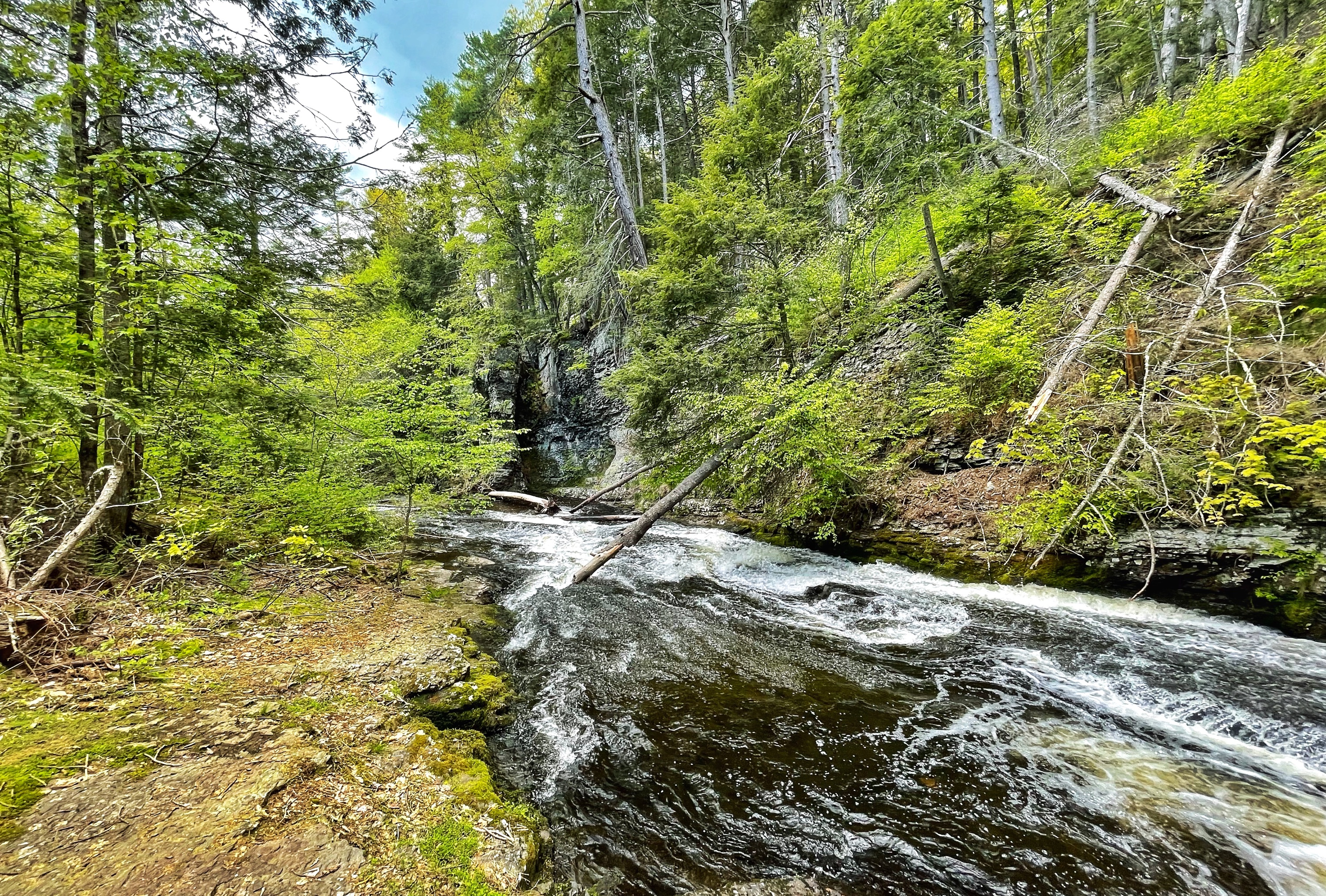
Just ahead is Hackers Fall, with great spots to sit and take a break on the rocks along the shore.
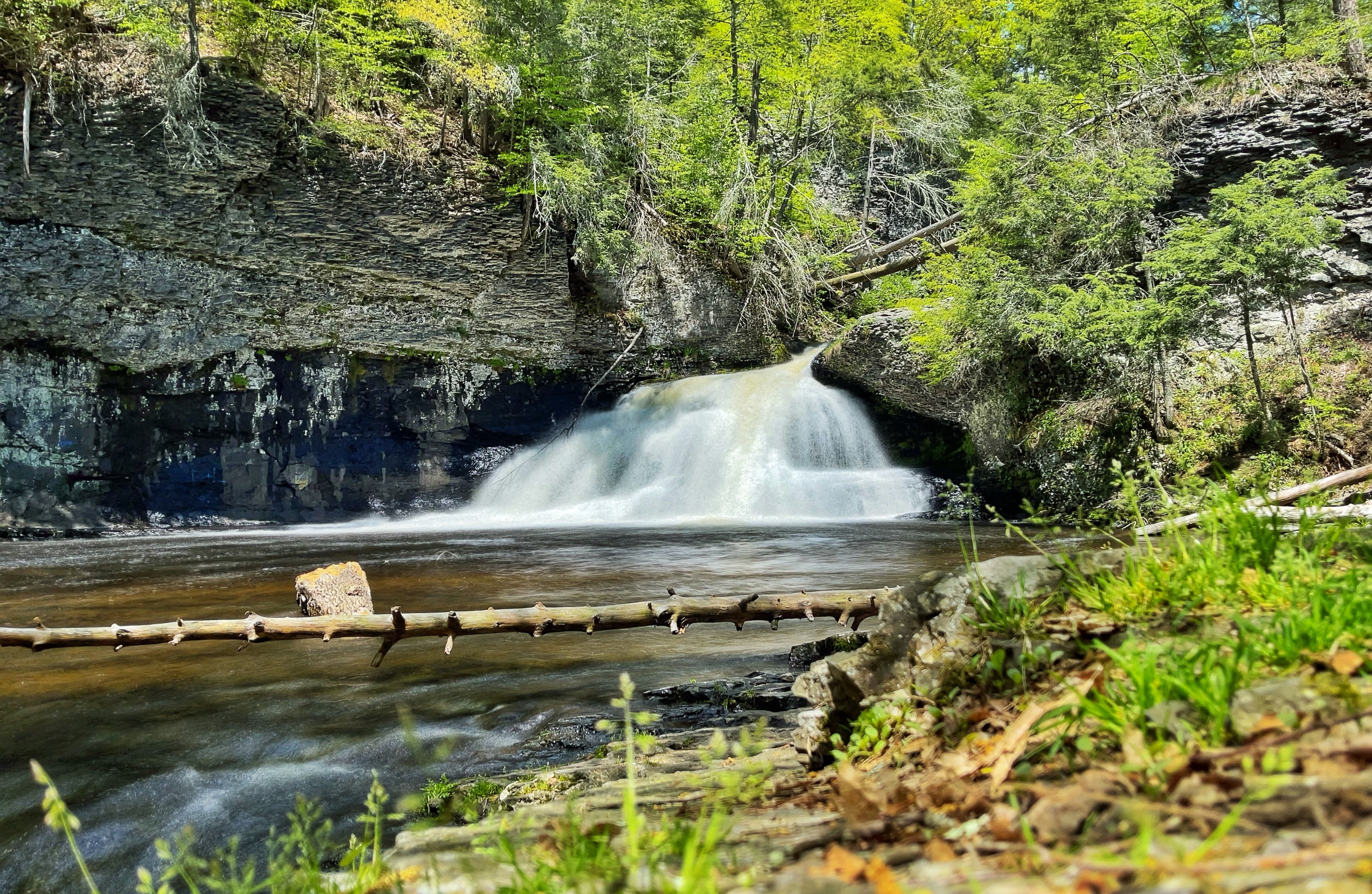
Continue along the Hackers Trail as the trail begins to ascend along the side of the creek.
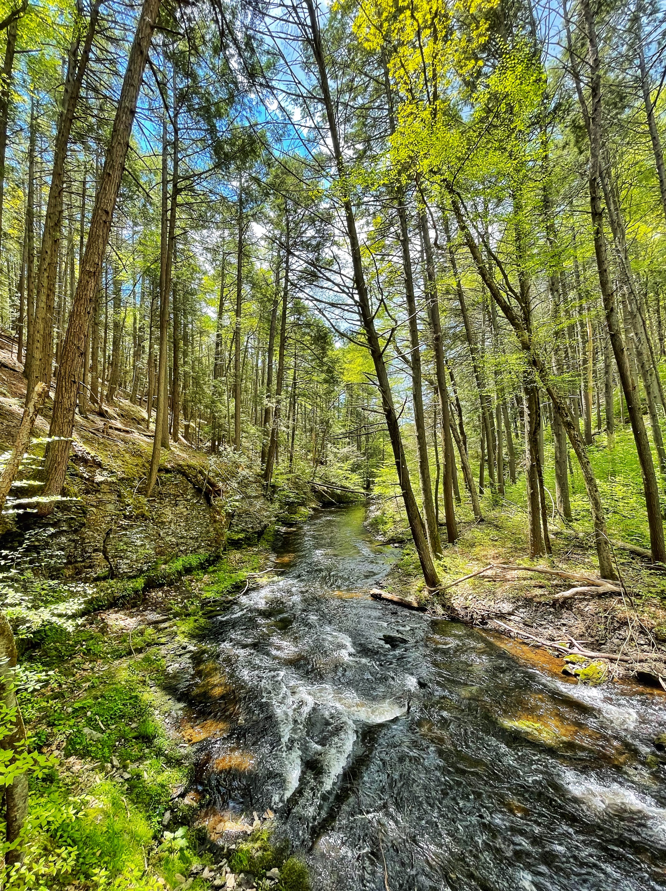
Not far ahead, look for an unmarked spur trail on your right. If you’re interested, follow the trail downhill a short distance to a rocky shore and cascades along a beautiful section of Raymondskill Creek.
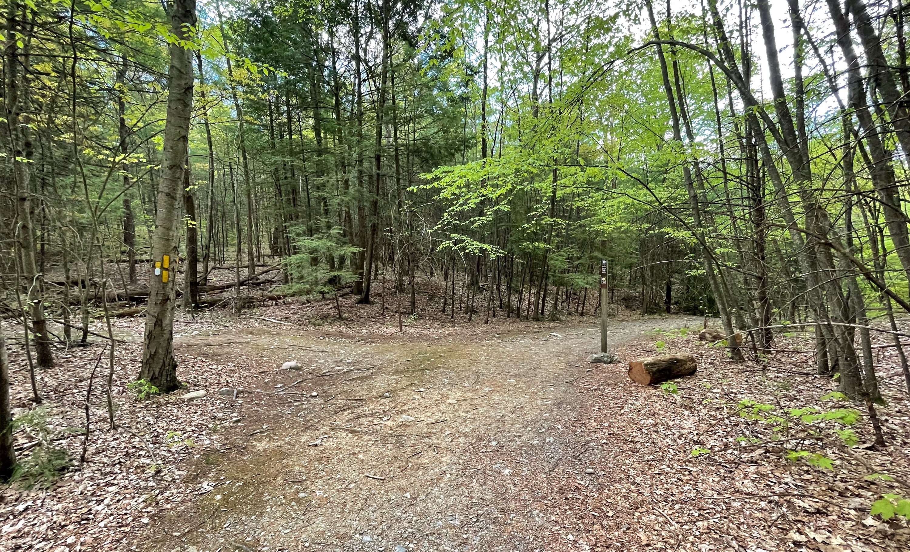
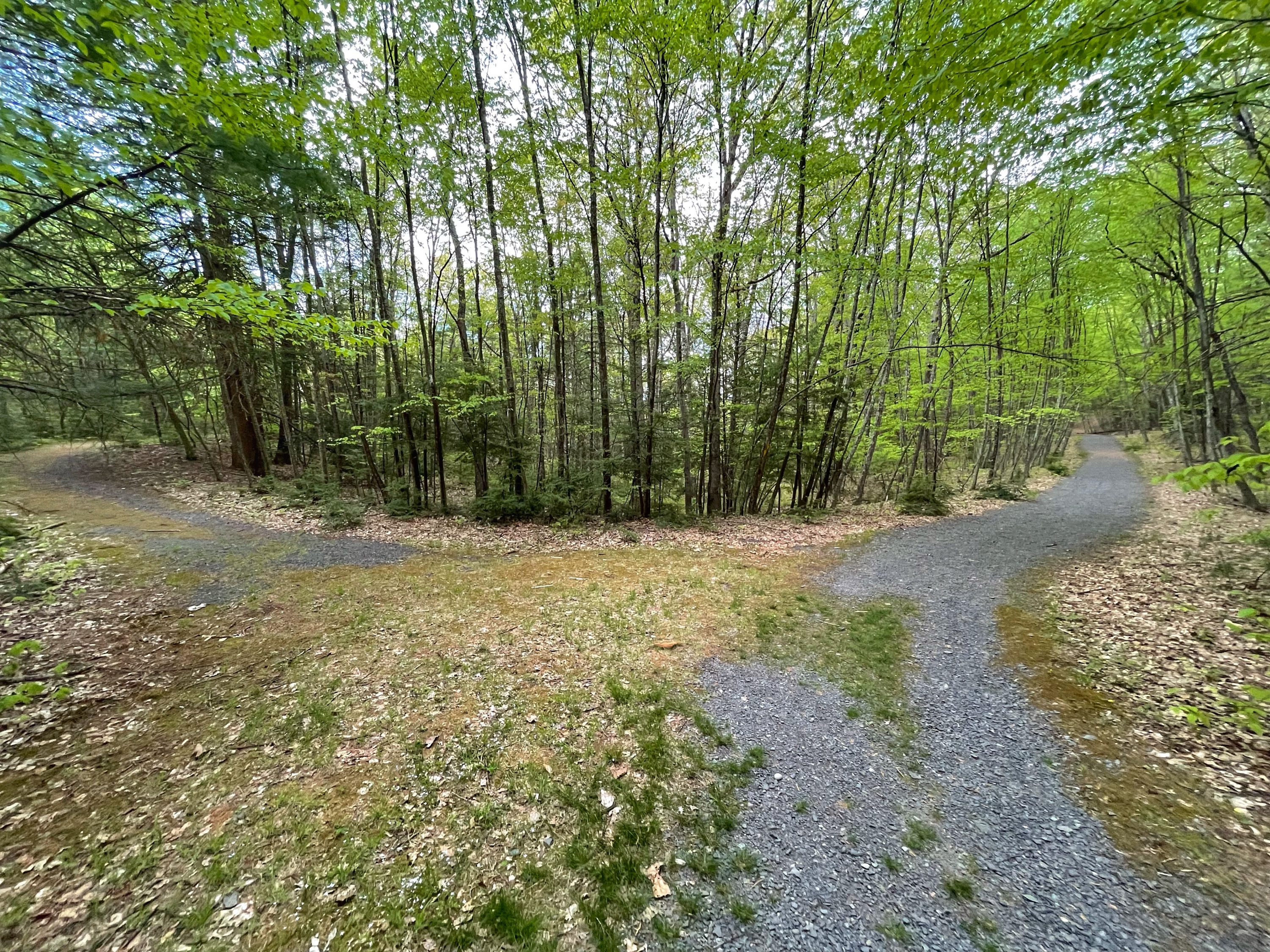
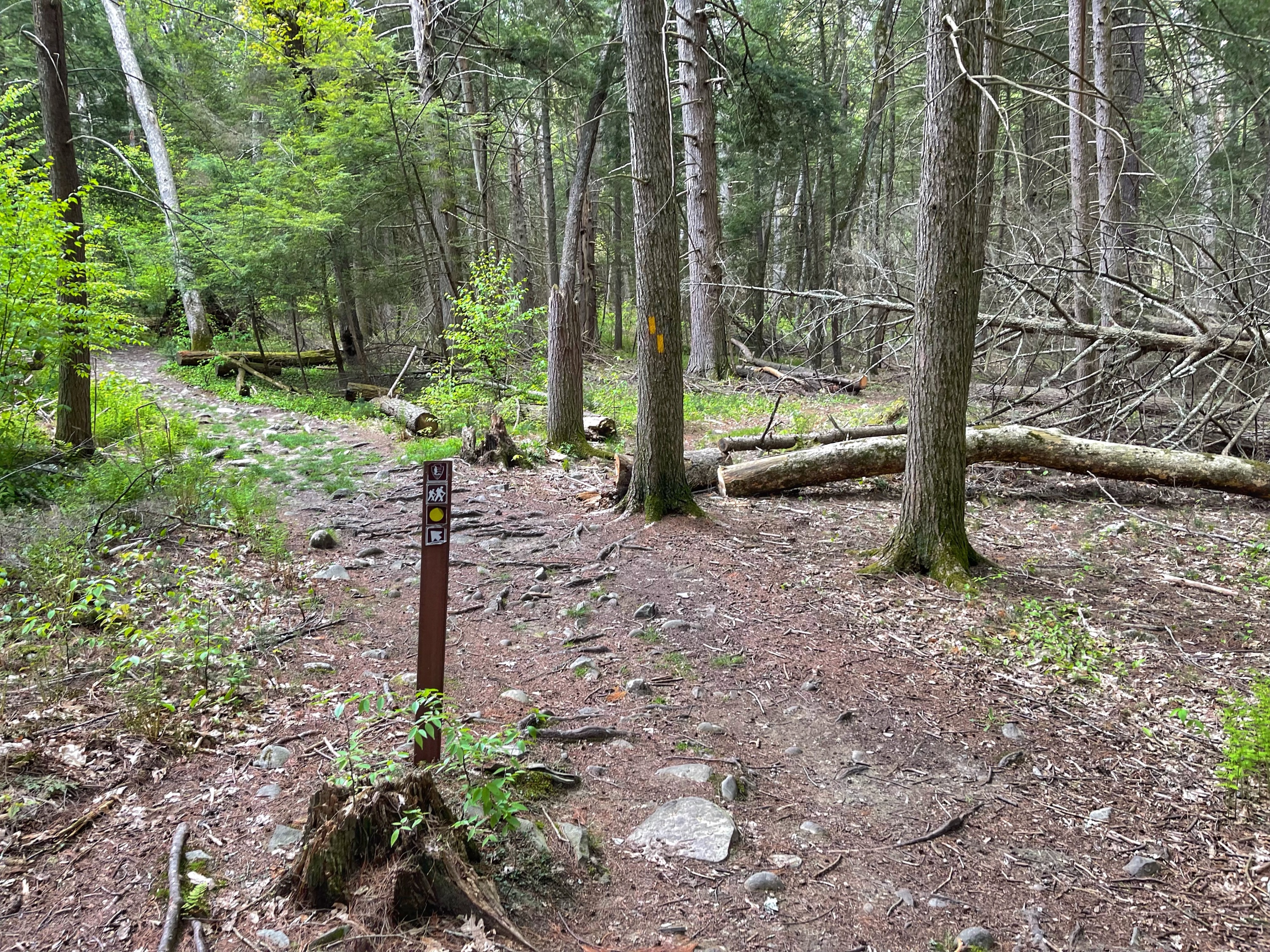
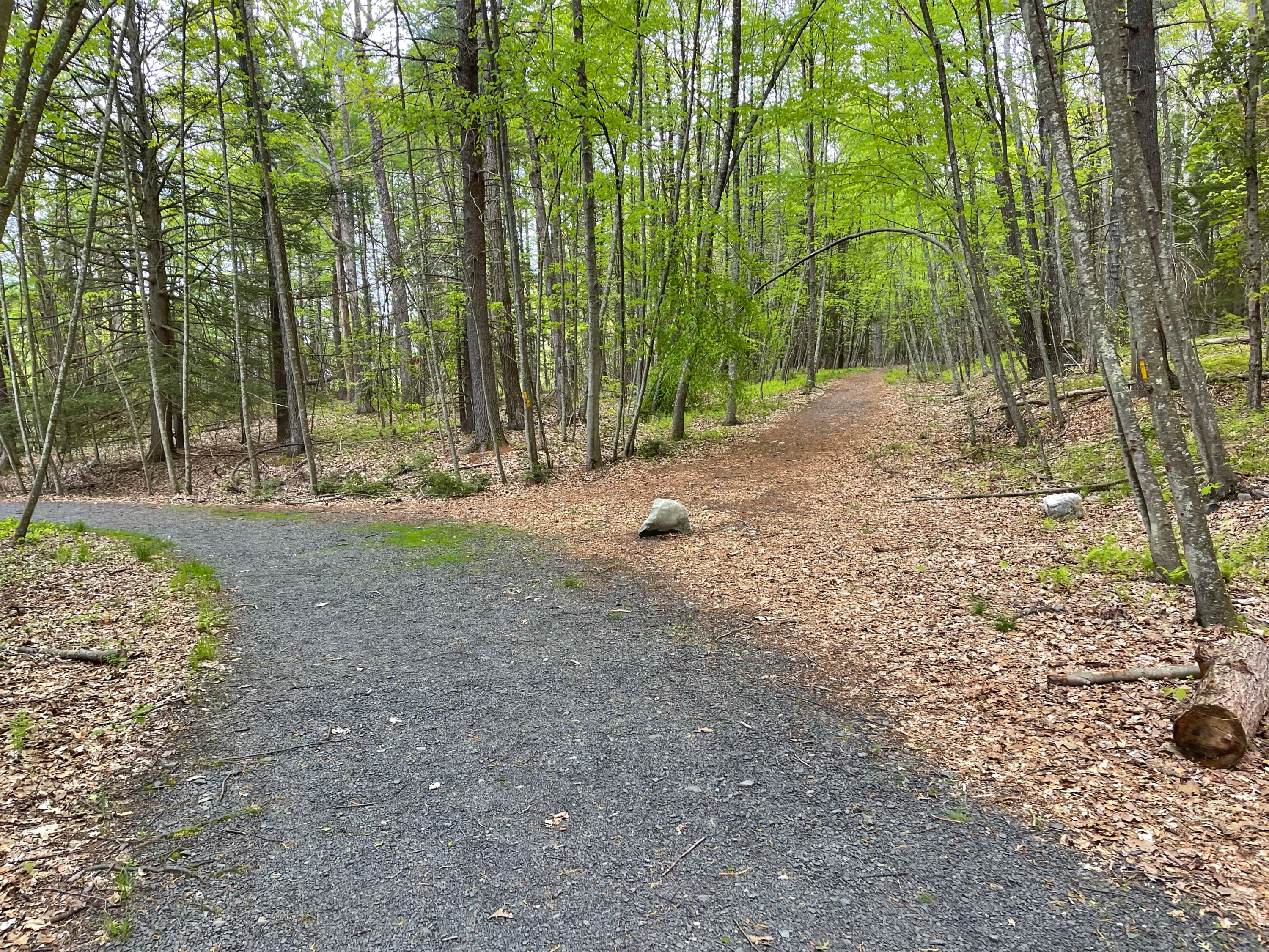
If you checked out the cascades, retrace your steps back to the trail. From here, you’ll follow the yellow blazes all the way back to Raymondskill Road. There are a lot of junctions with unmarked paths and woods roads so pay attention and make sure you follow the yellow blazes.
Finally you’ll return to the junction with the white-blazed Cliff Trail that we turned right onto at the start of our hike (since we’re reaching the junction from the other direction, the Cliff Trail heads off to the left). Visible from the junction is a gate across the trail and Raymondskill Road up ahead.
When you reach Raymondskill Road you’ll be at the southern parking area. If you’re parked at the other lot, just turn right and walk a short distance up the road.

