Overview
This out-and-back hike of Parker Cabin Mountain and Tom Jones Mountain in Harriman State Park provides some great views and can be done as a day hike or a relatively easy and kid-friendly overnight backpacking trip.
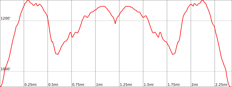
Length: 2.4 miles
Elevation gain: +925 feet
Location: Harriman State Park
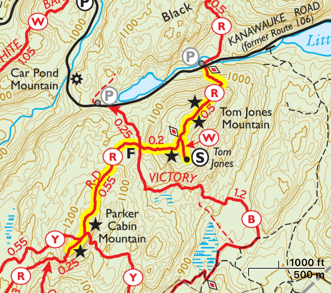
Parking: Park on the shoulder of Kanawauke Road where the Ramapo-Dunderberg Trail crosses (Google maps link). If it’s full, there is another parking area about a quarter mile to the east at the trailhead for the Victory trail.

Maps:
- Harriman-Bear Mountain Trails Map – NY-NJ Trail Conference (print)
- Harriman-Bear Mountain Trails Map – NY-NJ Trail Conference (Avenza)
Trail description
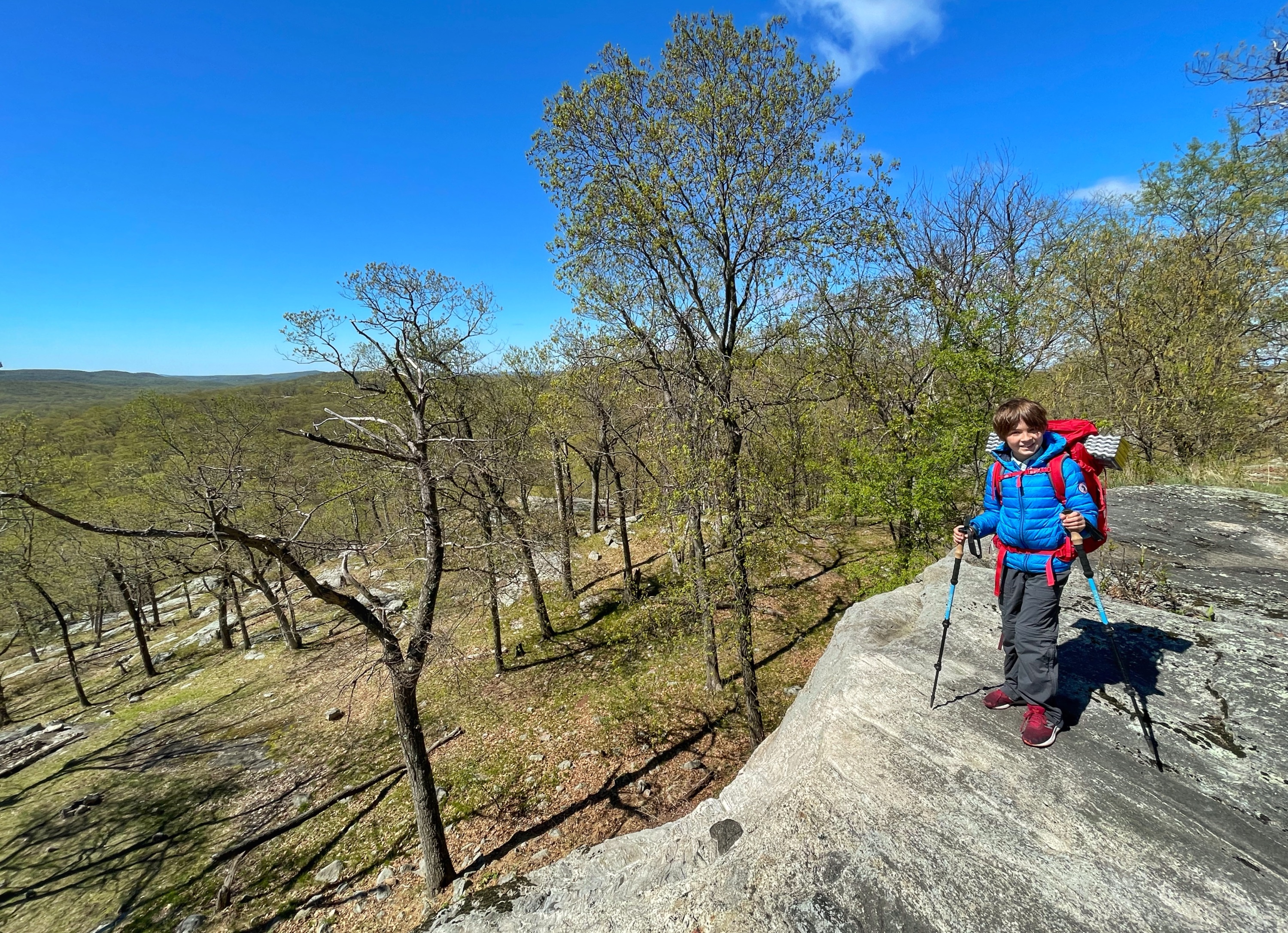
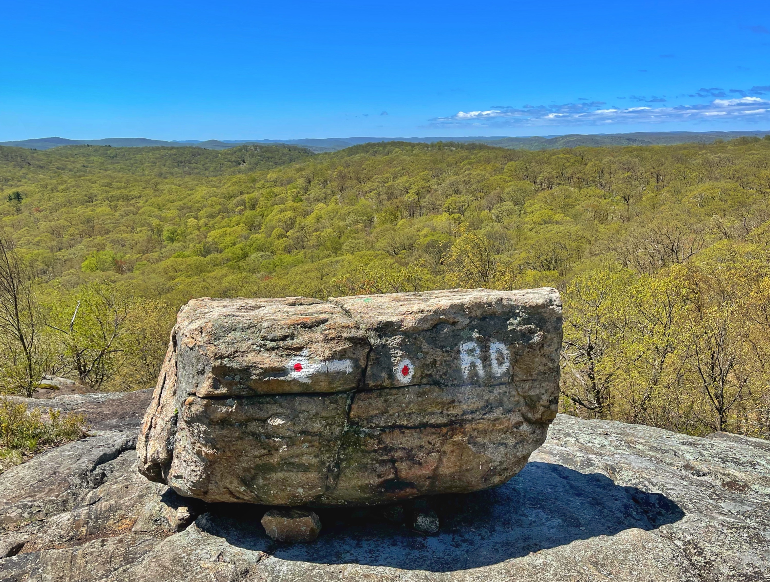
From the road, look south to the woods and follow the red circle on white-blazed Ramapo Dunderberg Trail as the trail steeply climbs up switchbacks along the north face of Tom Jones Mountain.
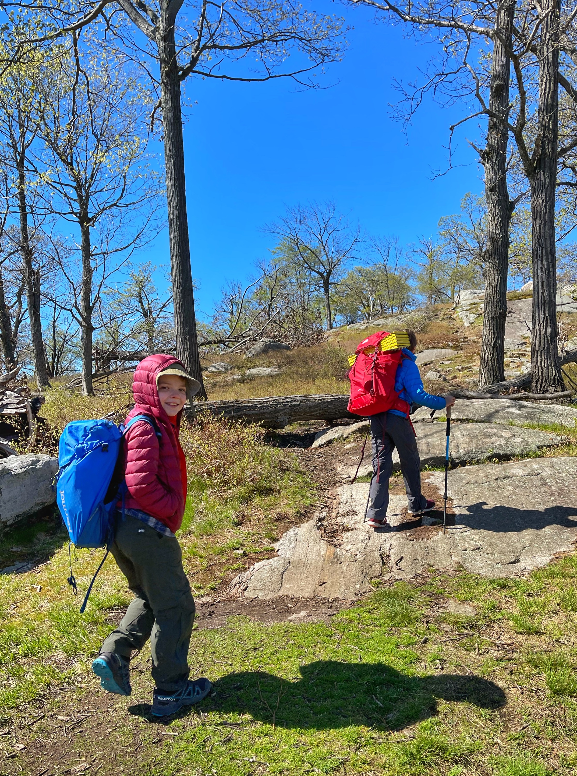
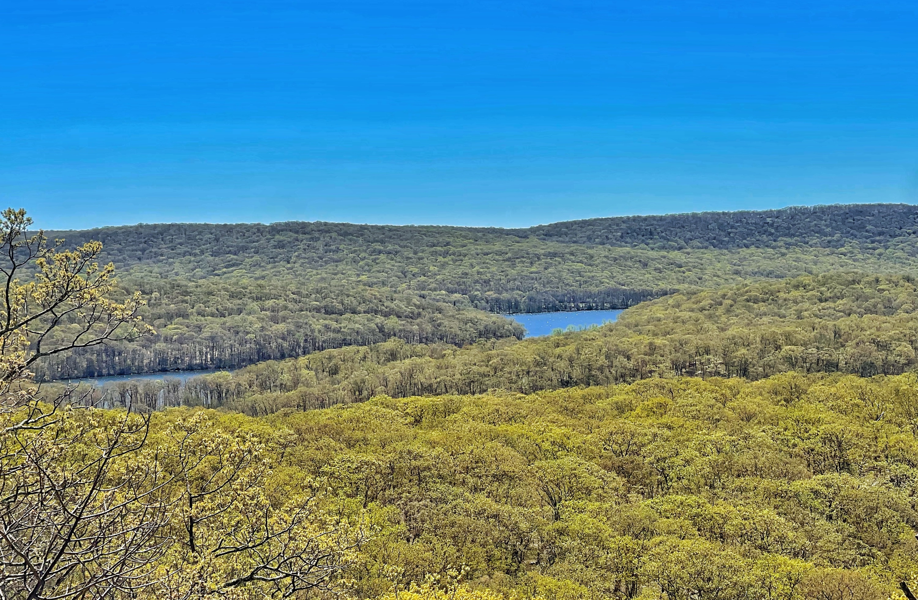
As the trail climbs, you’ll begin to get partial views and then more expansive views of the surrounding area. After about a quarter mile, you’ll reach the summit of Tom Jones Mountain, a largely exposed area of rock with limited tree cover in parts.

About a half mile from the trailhead, you’ll reach a junction with a spur trail to the Tom Jones Shelter.
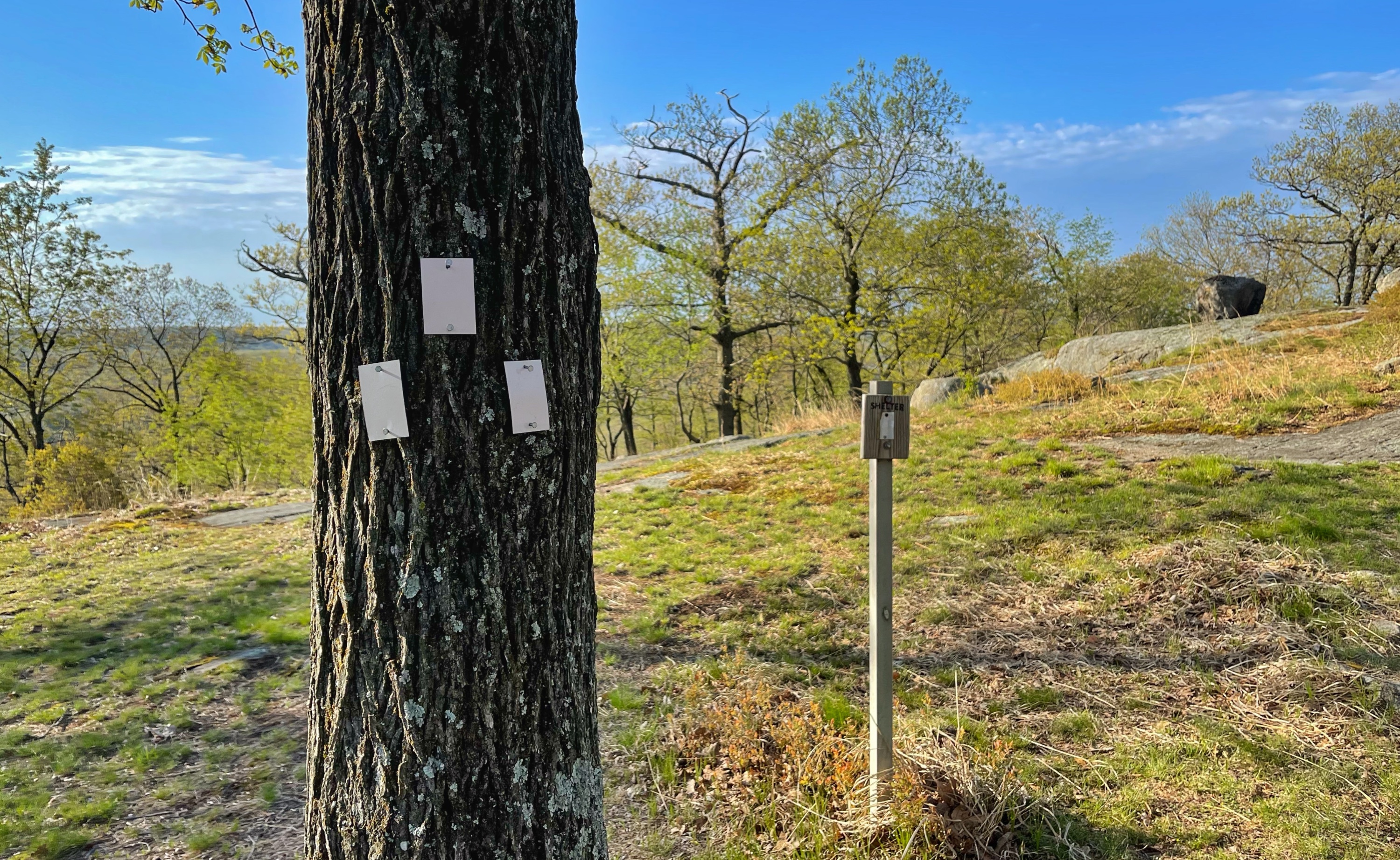
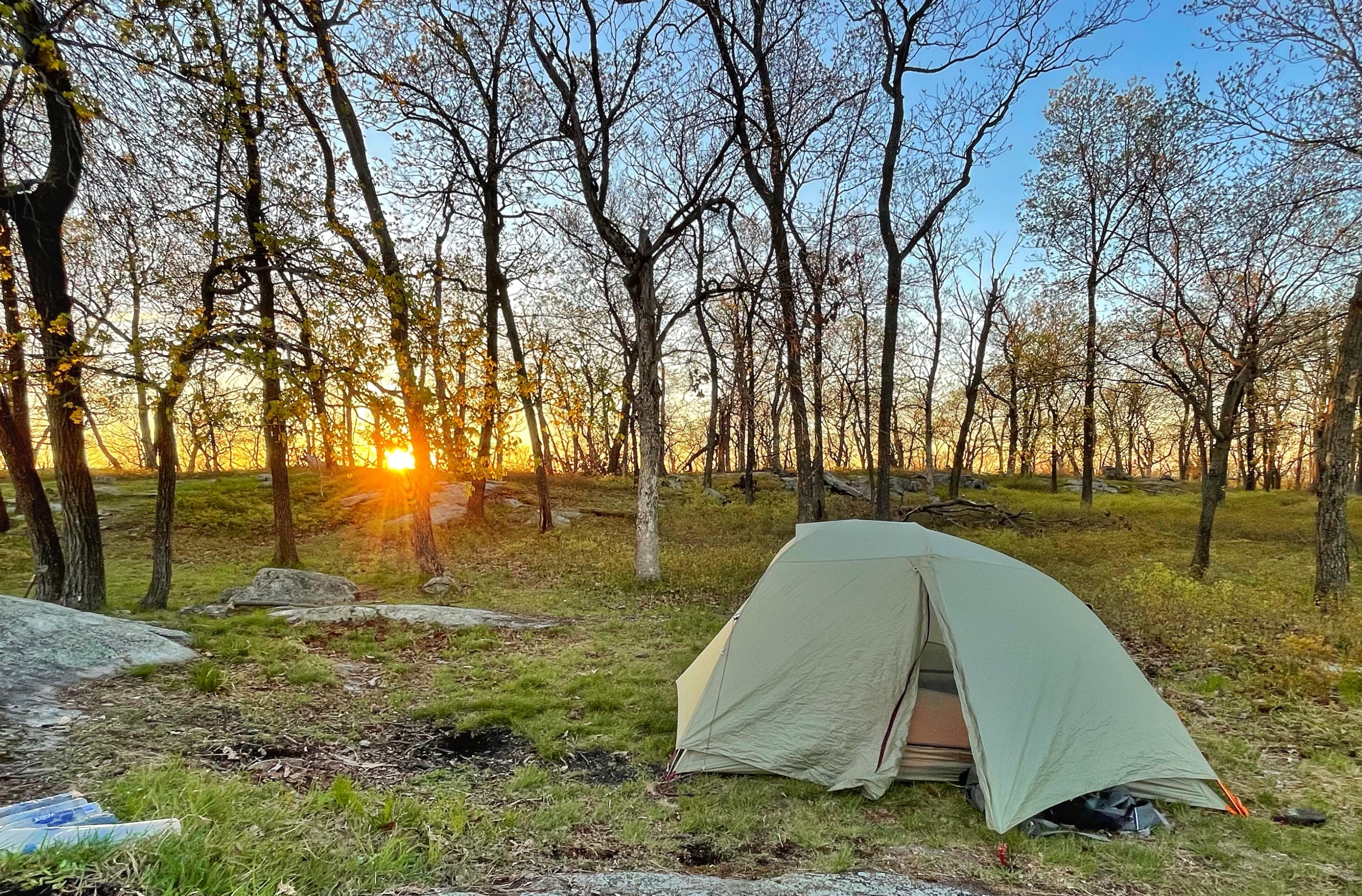
Follow the trail a short distance downhill to the Tom Jones Shelter.


Overnight camping is permitted within 300 feet of the shelter (and all shelters in Harriman). You will find nice, flat sites – many with fire pits – nearby. You could camp here, but don’t expect solitude – you’re likely to find lots of groups camping here.
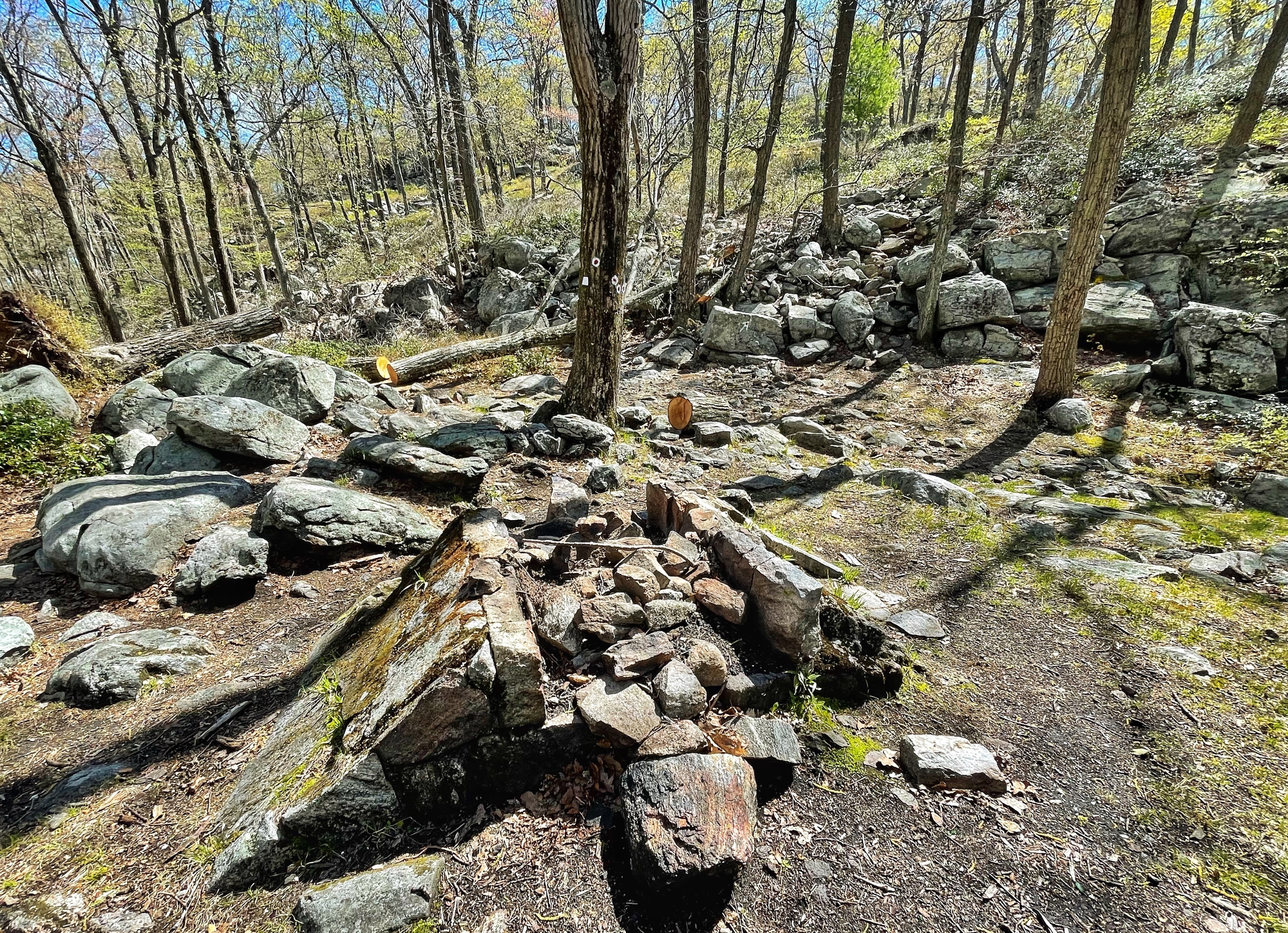
Alternatively, follow the white spur trail back to the R-D trail and continue south-bound. The trail offers another great viewpoint to the south and then descends steeply. A short distance later it reaches a junction with the blue V on white-blazed Victory Trail. At the junction is a historic fireplace.
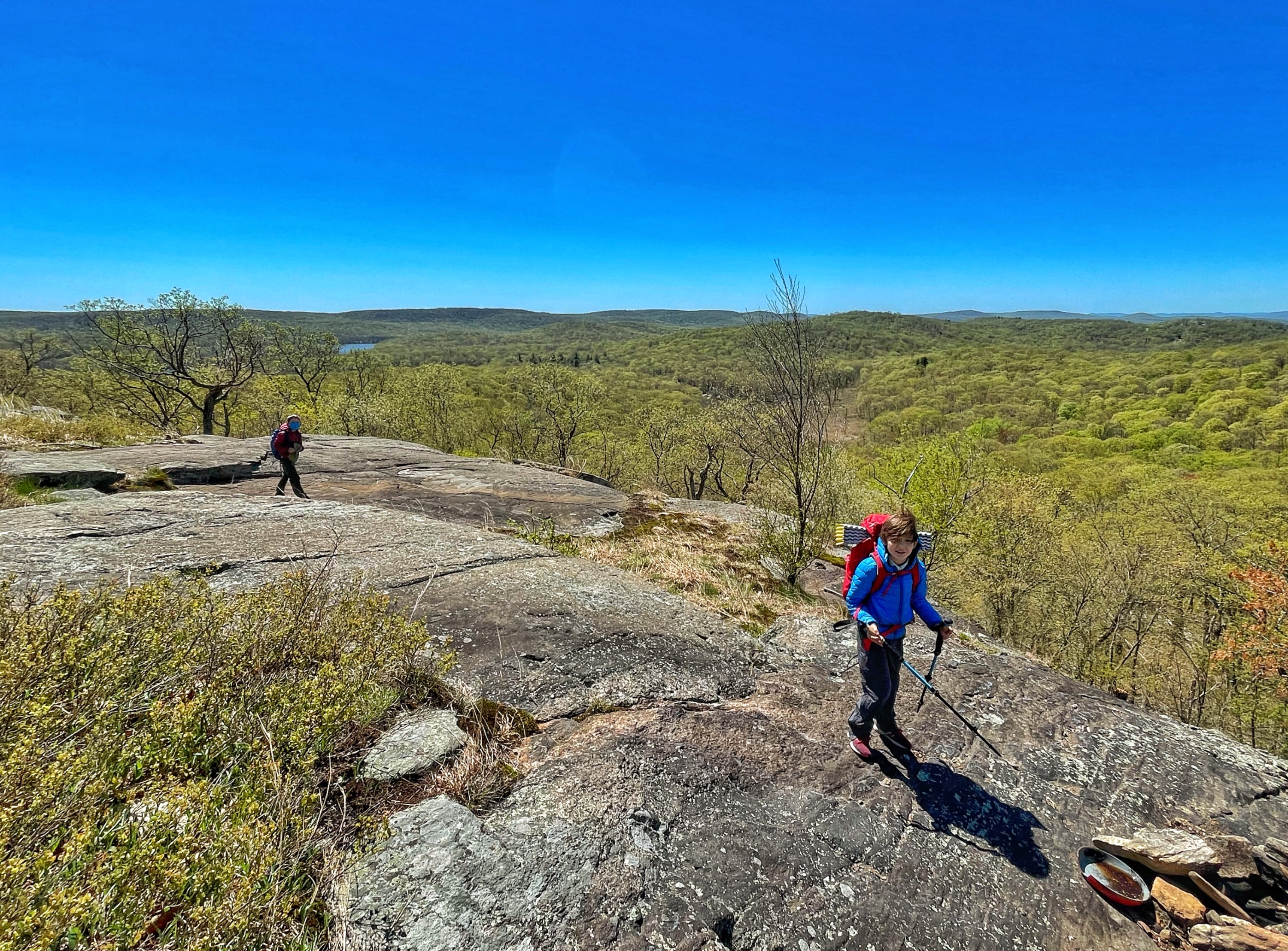
Continue to follow the red-blazes and soon step across a small brook. The trail now begins a climb up Parker Cabin Mountain, partly along beautiful exposed rock slabs. The trail descends briefly and then continues its climb.


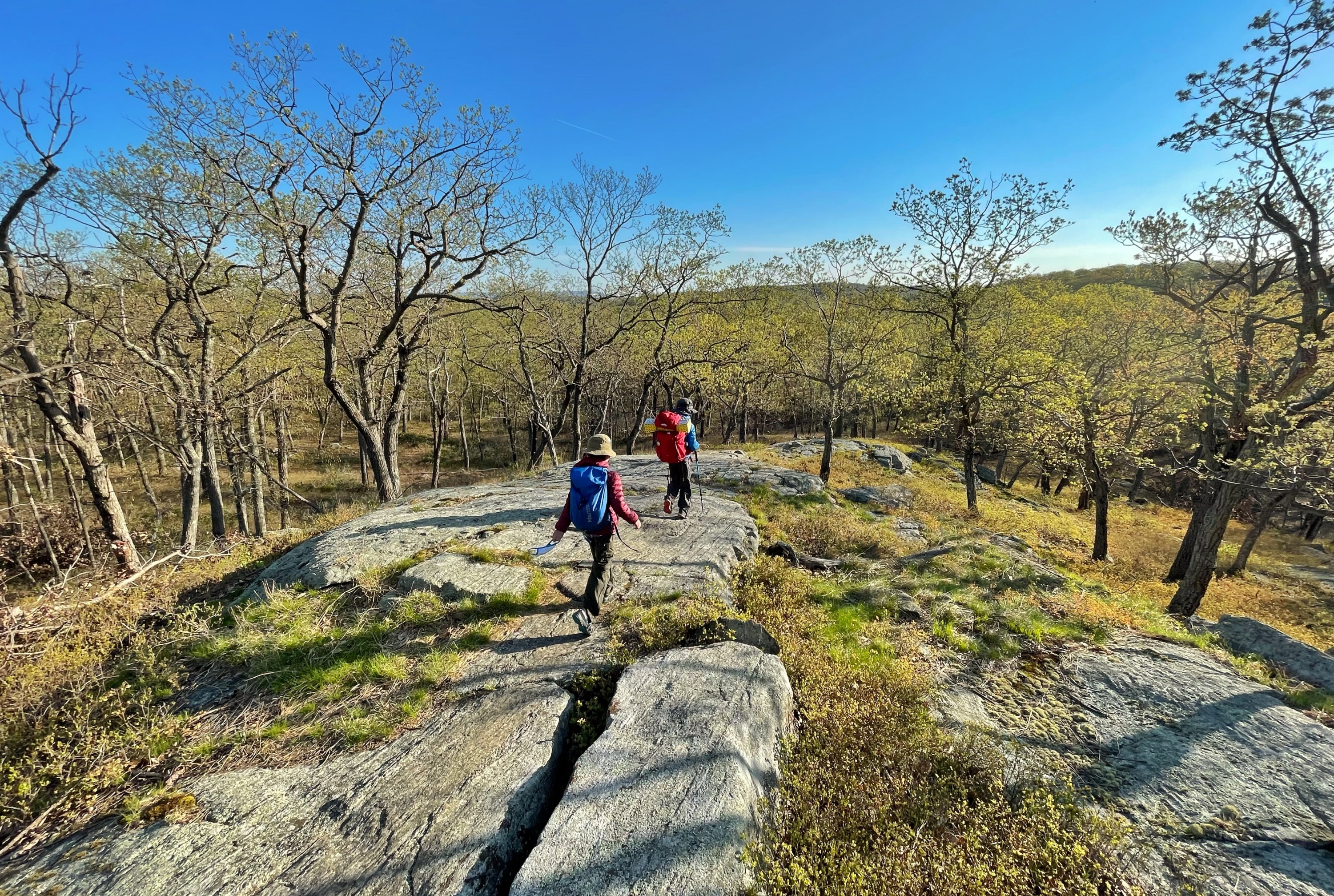
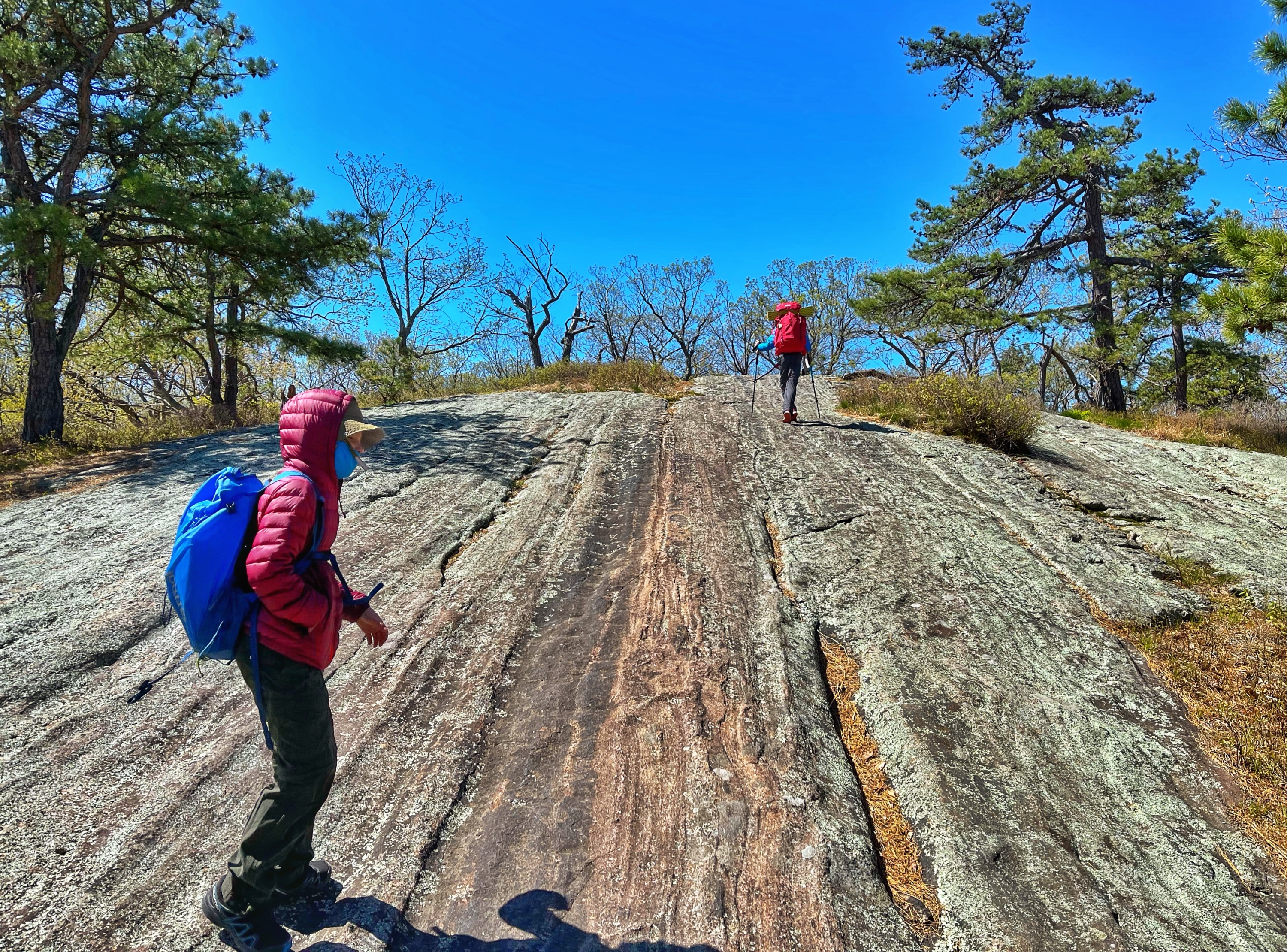
After about a half mile from the junction with the Victory Trail, you’ll reach the summit of Parker Cabin Mountain. There are a few nice east-facing viewpoints just before and after the junction with the yellow-blazed Triangle Trail. Lake Sebago is visible to the south-east. Just to the east of the junction with the Triangle Trail is a boulder named “Toad Rock” because it supposedly looks like one.

Camping is not technically permitted here, but if you want to avoid the crowds, there are a few nice sites to be found in the area.
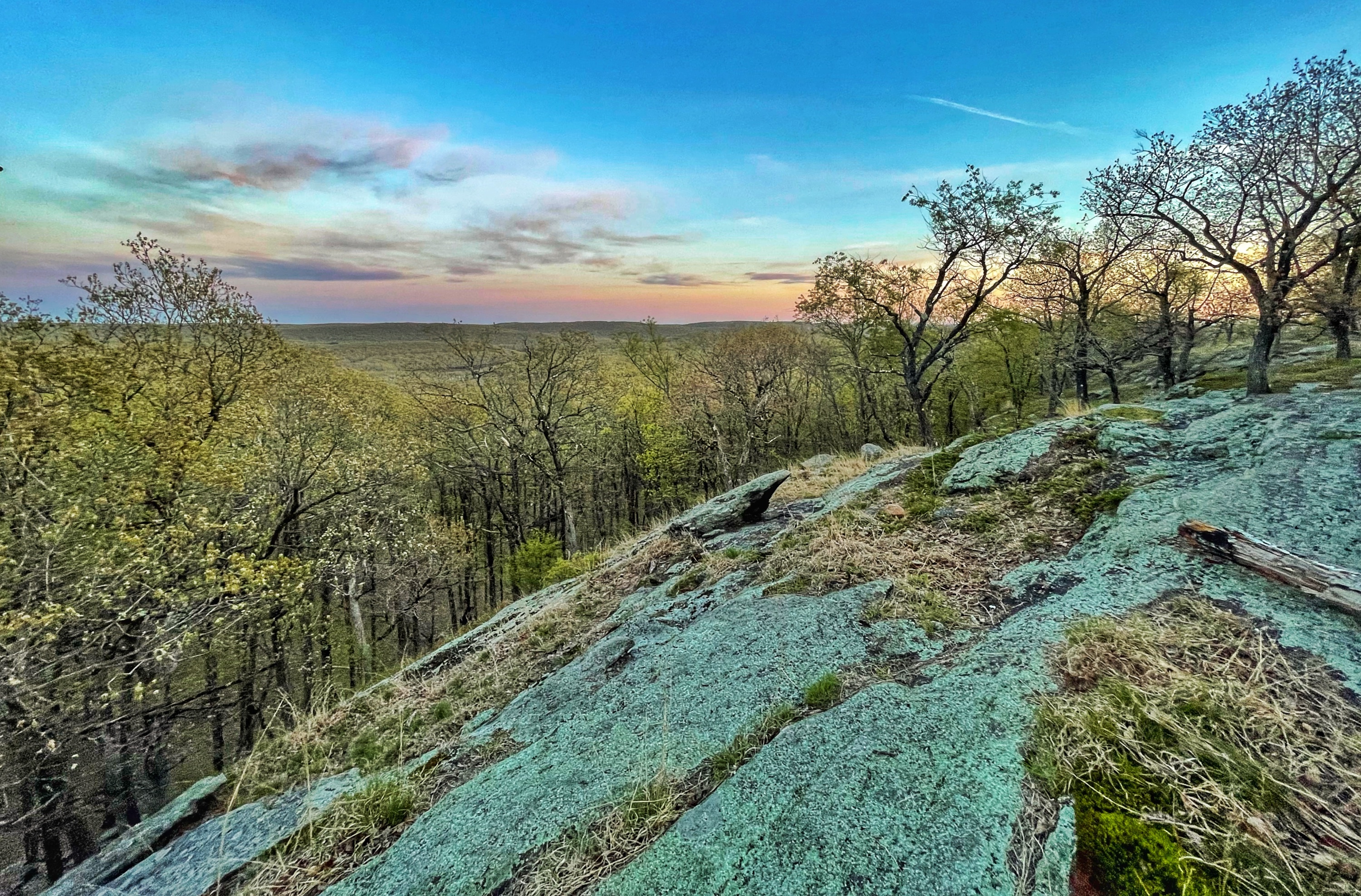

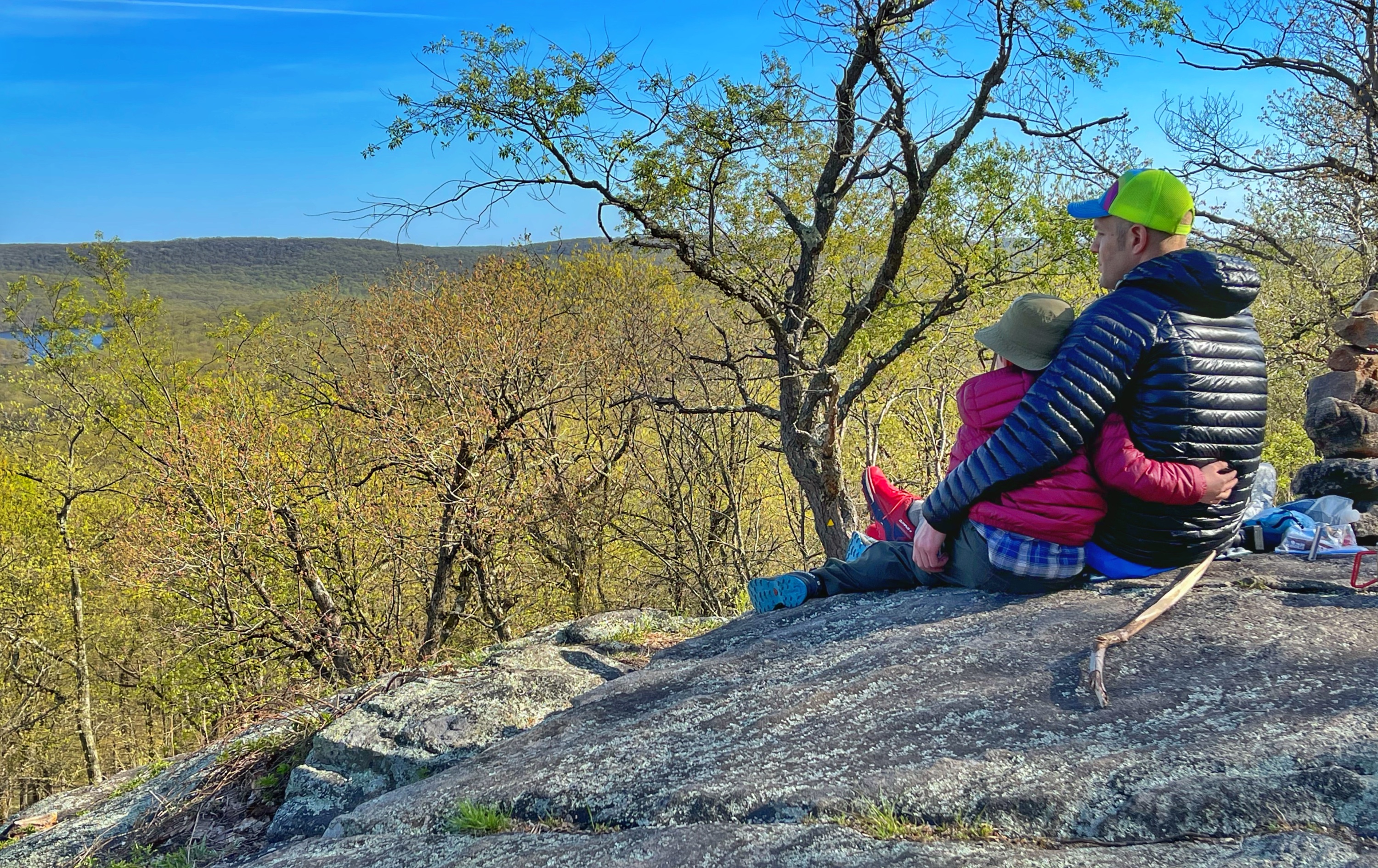
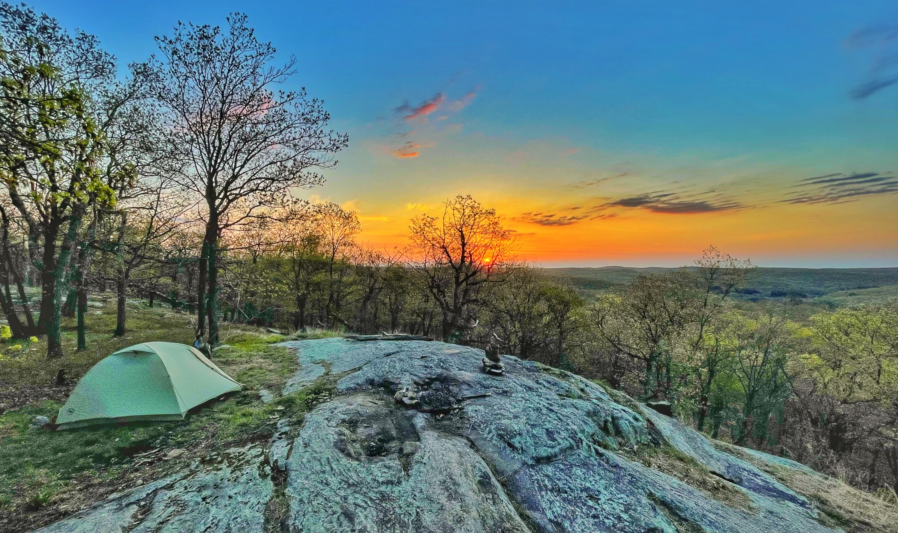
Continue along the R-D trail a little further as it begins to descend the south face of the mountain. You’ll reach an exposed rock clearing with a large glacial erratic where you’ll have expansive views to the south, east, and west over Blash Ash Swamp.
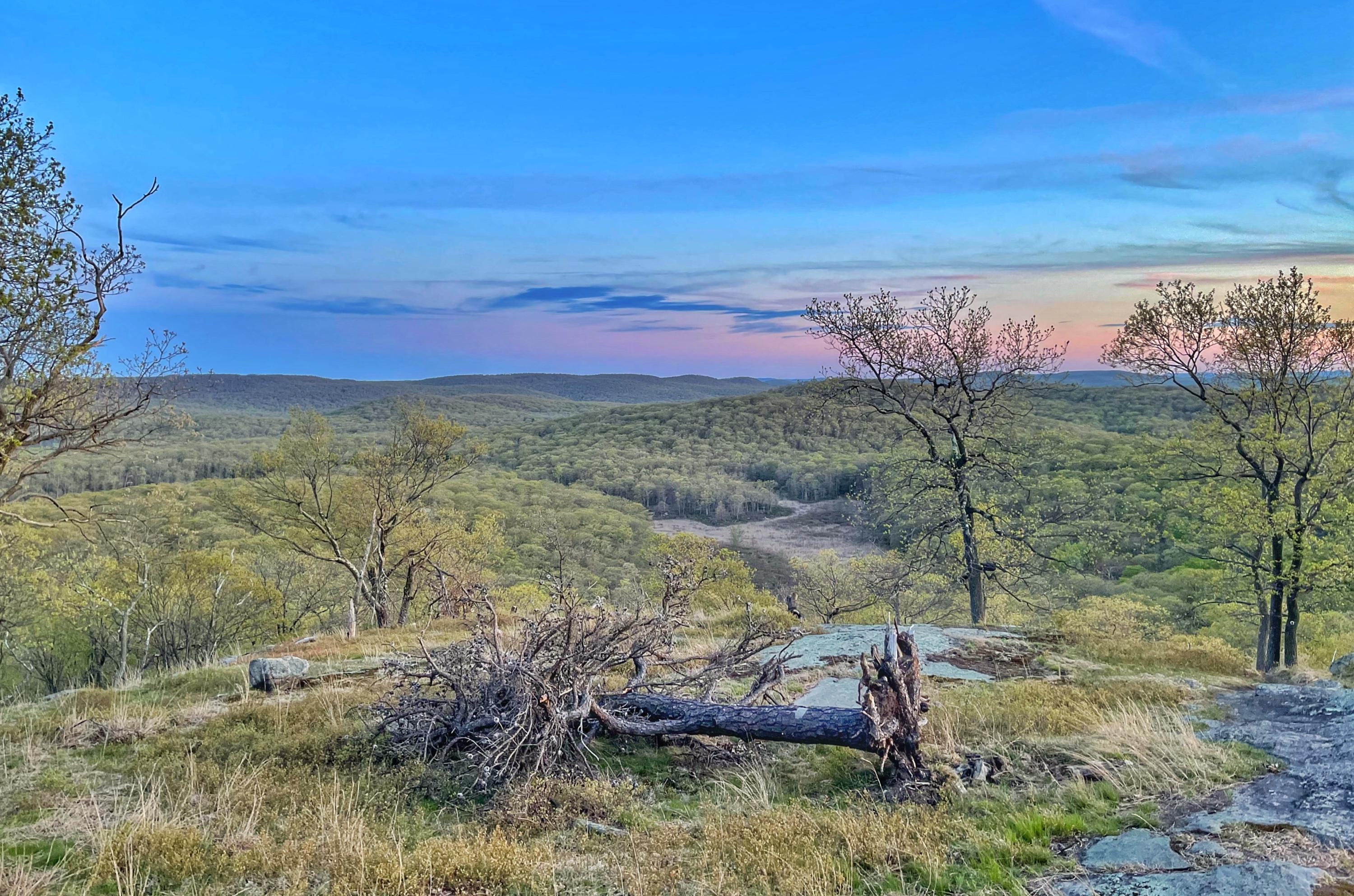
This is a good spot to turn around – or perhaps to watch the sun set later. Retrace your steps back along the R-D trail to return to your car.


