Overview
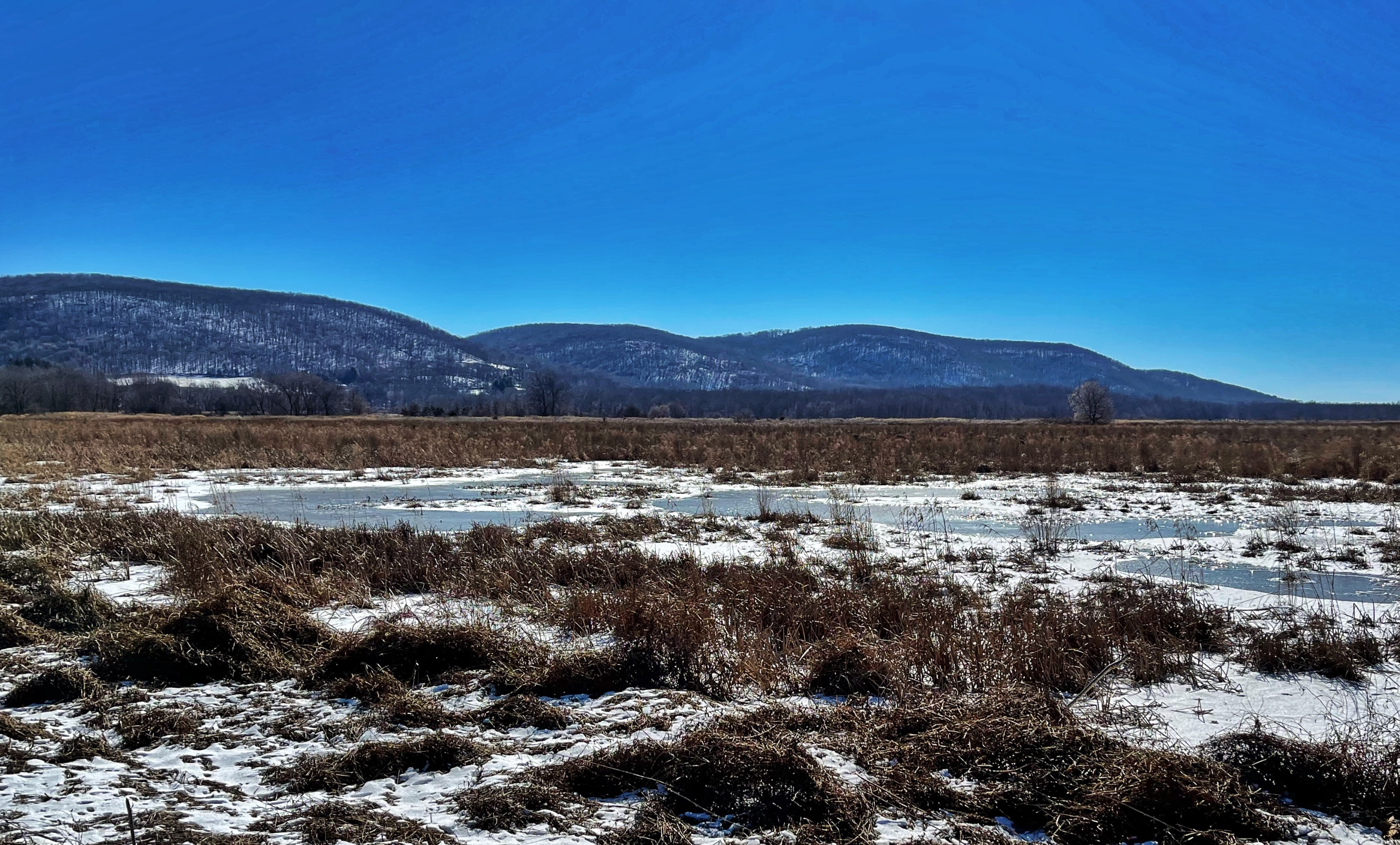
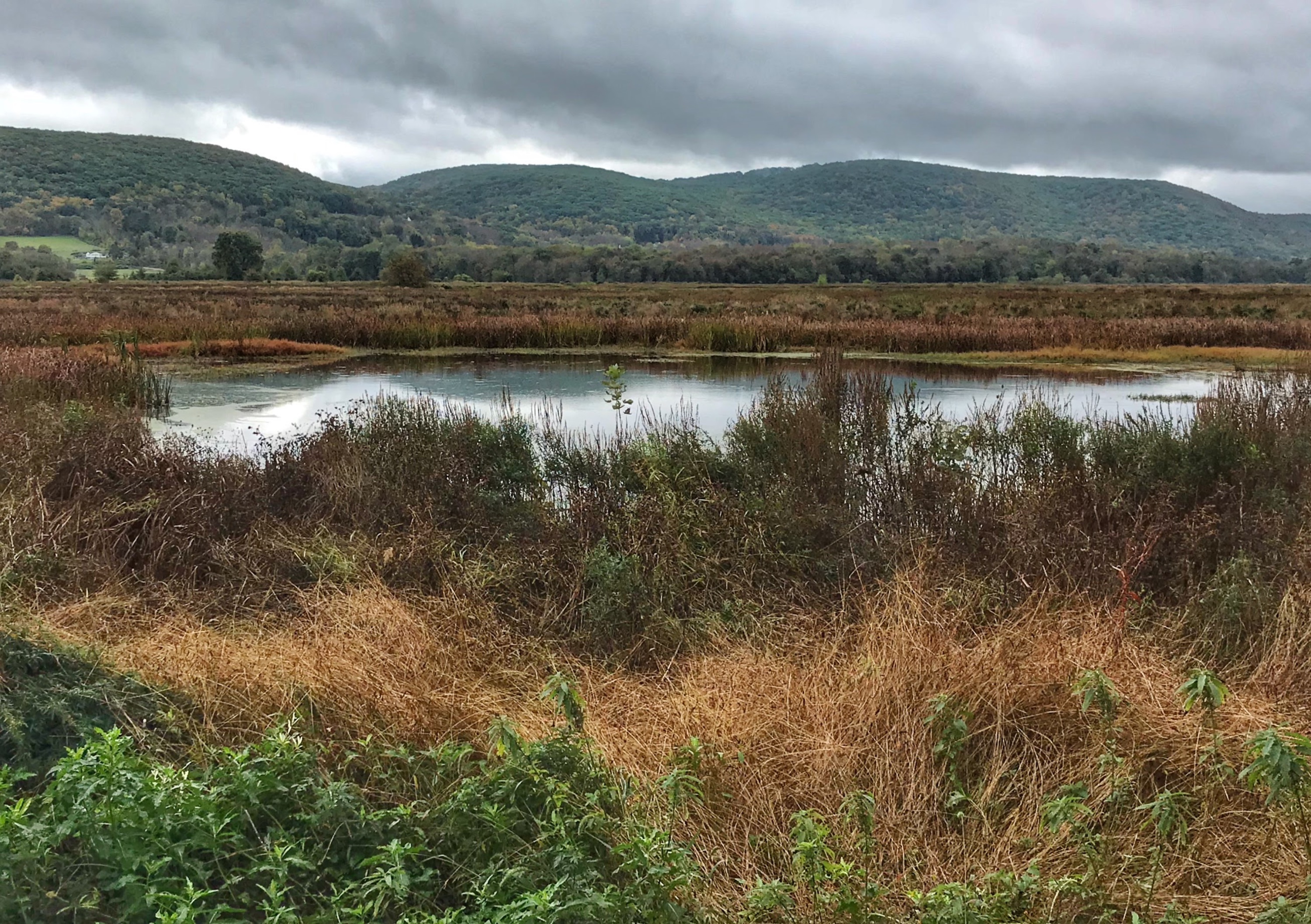
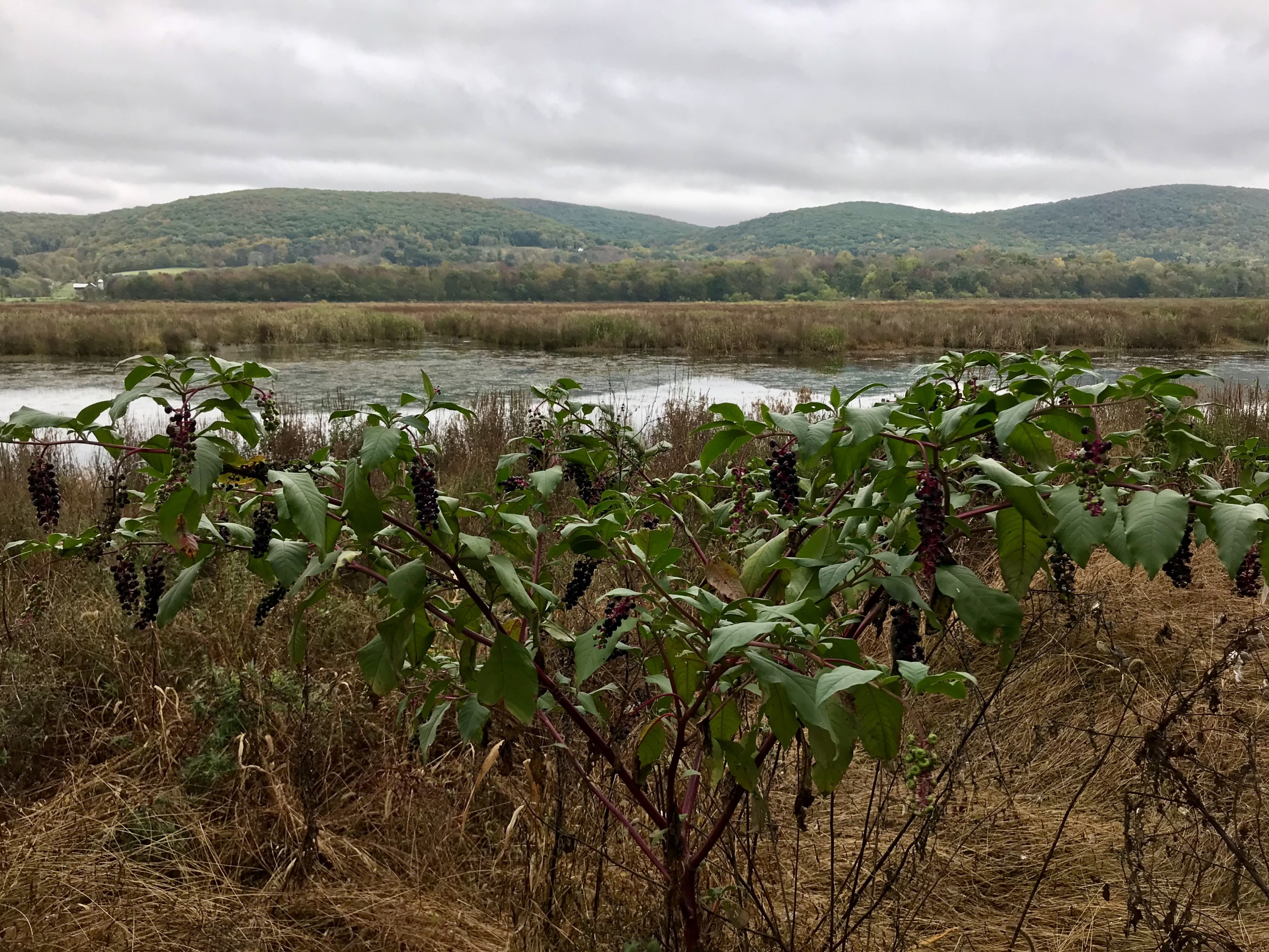
An easy, kid-friendly hike around Liberty Marsh – an impoundment that attracts migratory shorebirds, waterfowl and raptors – with an optional 1 mile extension on puncheon walkway through swamp.
Hike Length: 2.5 miles (or 3.5 miles with optional extension)
Elevation gain: Nearly flat (~50 feet)
Location: Wallkill River National Wildlife Refuge, Vernon, NJ & Warwick, NY
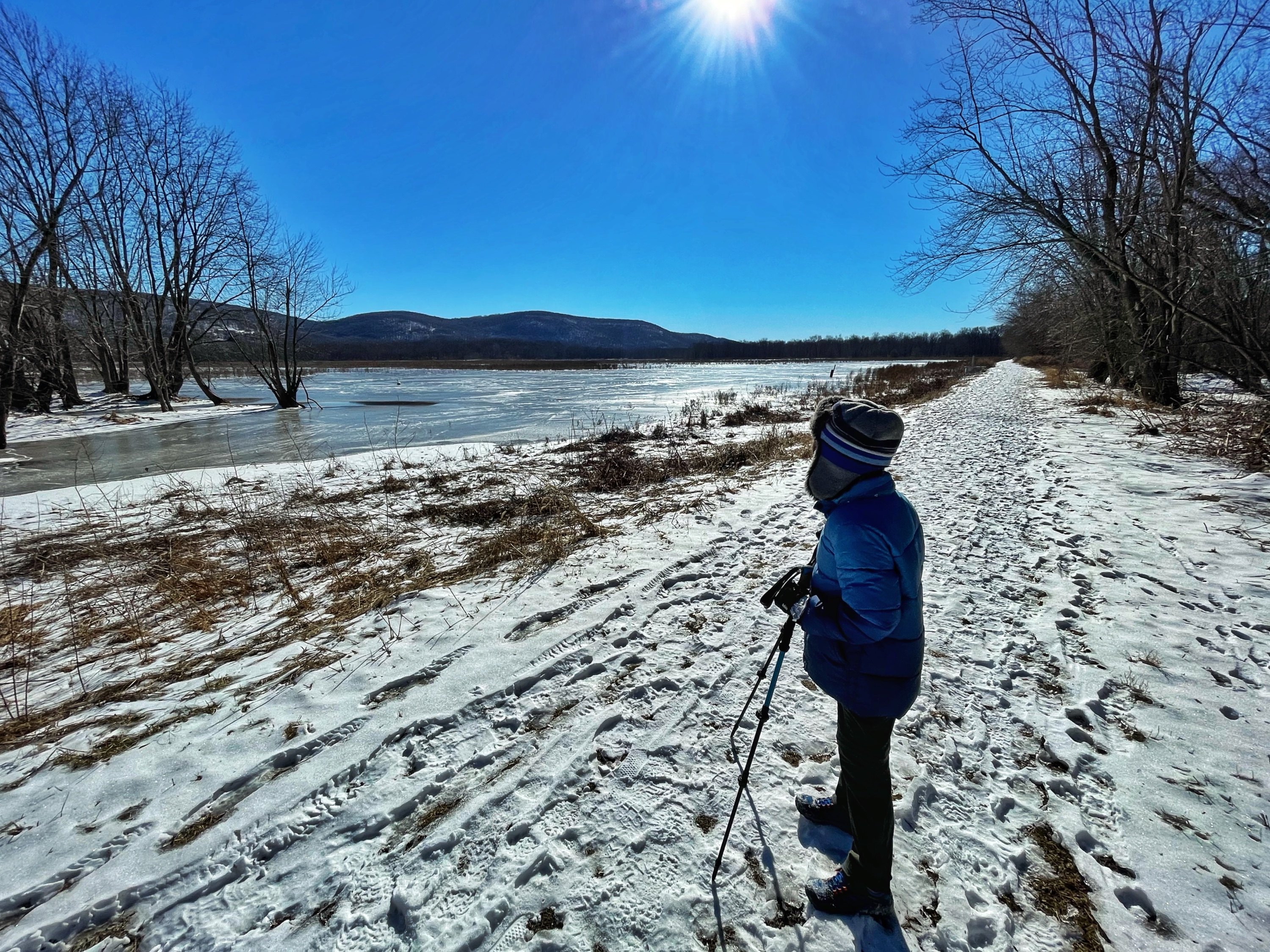
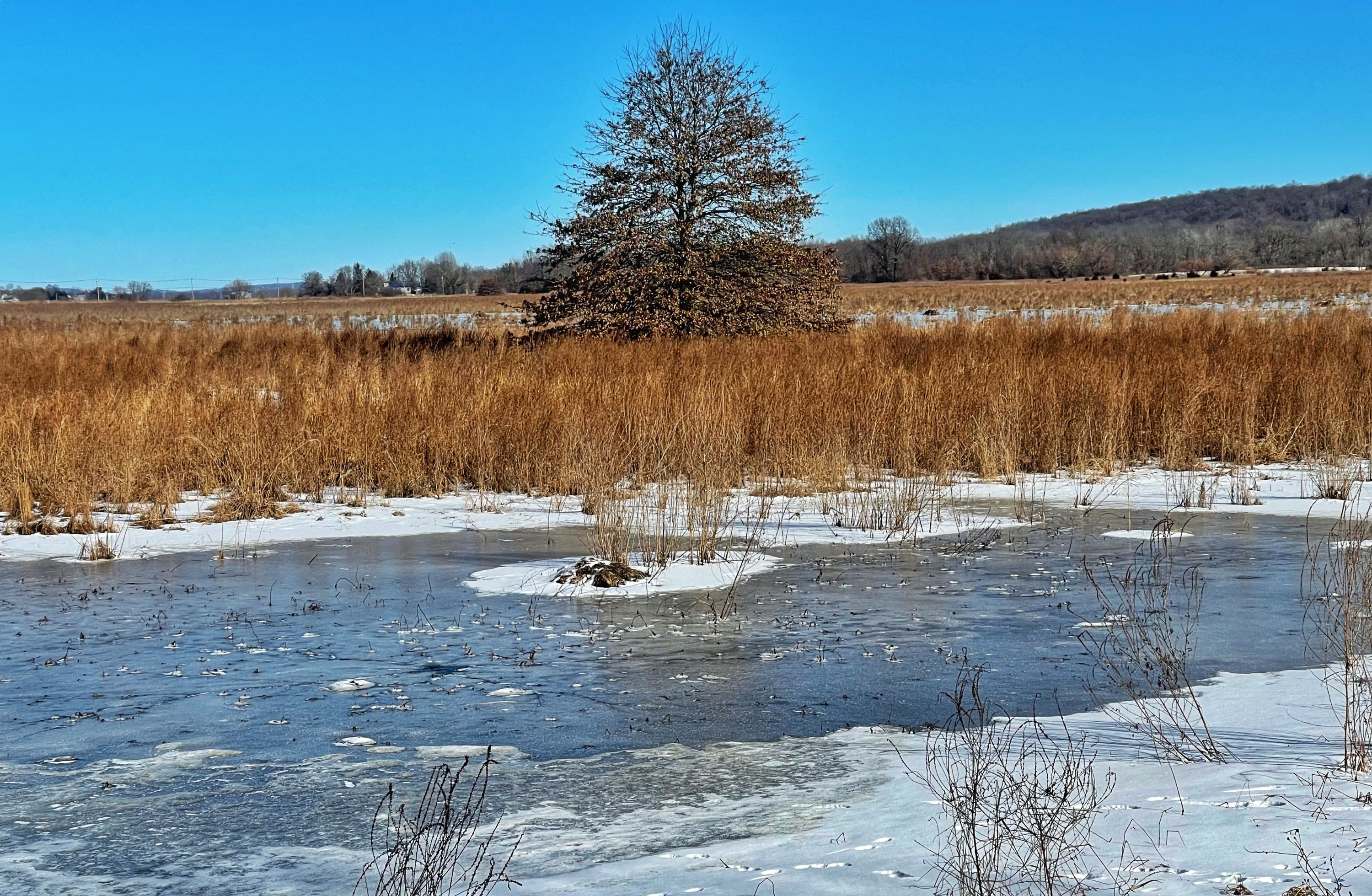
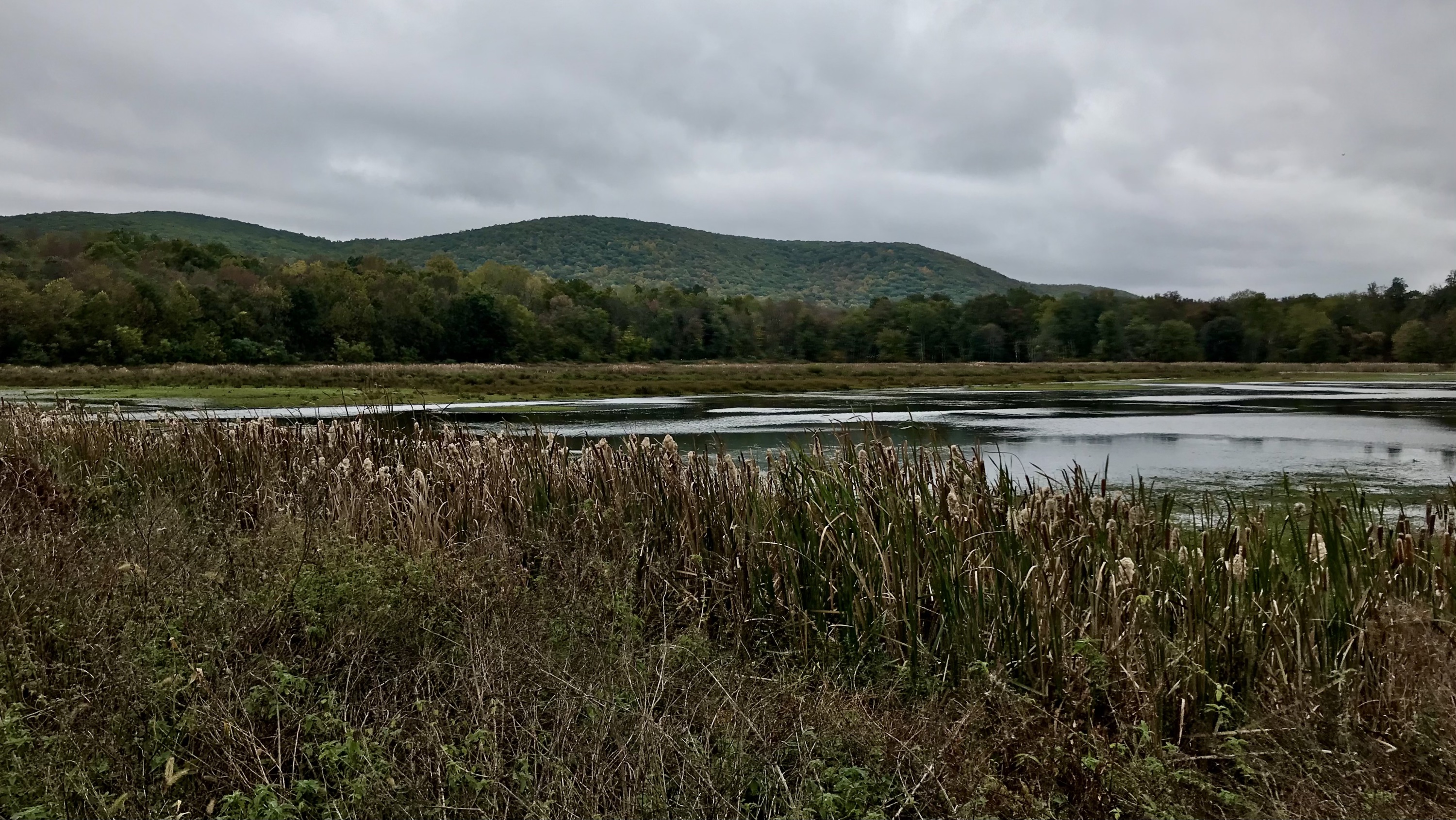
About the Liberty Loop Trail: The 2.5-mile trail was created on a former sod farm, which, before it was manipulated for agricultural use, had been a forested wetland. The trail is co-aligned with the Appalachian Trail for one mile. The trail loops around several managed wetland units, providing an excellent opportunity to observe a wide variety of waterbirds, (waterfowl, shorebirds and wading birds), as well as numerous species of songbirds along the edges of the trail in spring, summer and fall. In winter, the Liberty Loop is one of northern New Jersey and southern New York’s best locations for raptors such as Northern Harrier, Rough-legged Hawk and Short-eared Owls.
About Wallkill River National Wildlife Refuge: The refuge conserves the biological diversity of the Wallkill Valley by protecting and managing land, with a special emphasis on forest-dwelling and grassland birds, migrating waterfowl, wintering raptors, and endangered species. The North American Waterfowl Management Plan identifies the Wallkill River bottomlands as a priority focus area for waterfowl management within New Jersey.
Parking
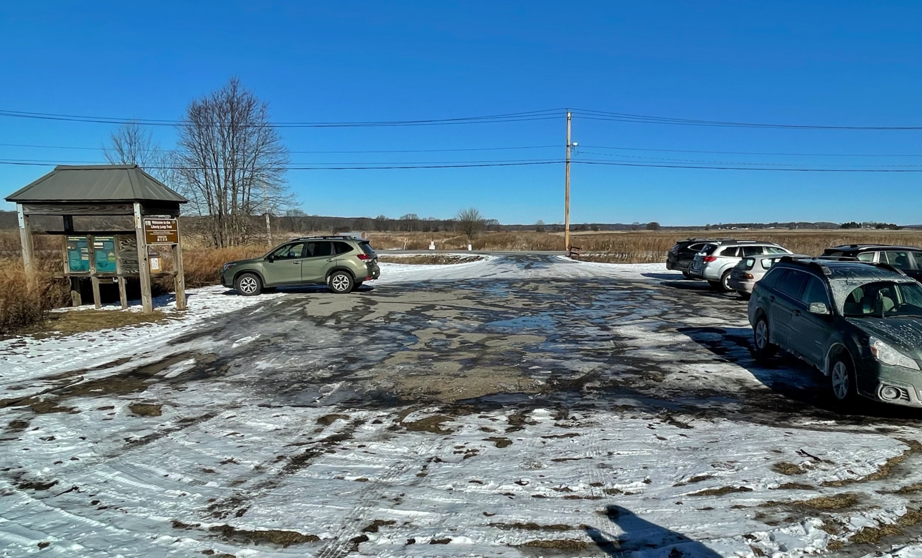
Park in the lot on the south side of Oil Liberty Road (Google maps link).
Map
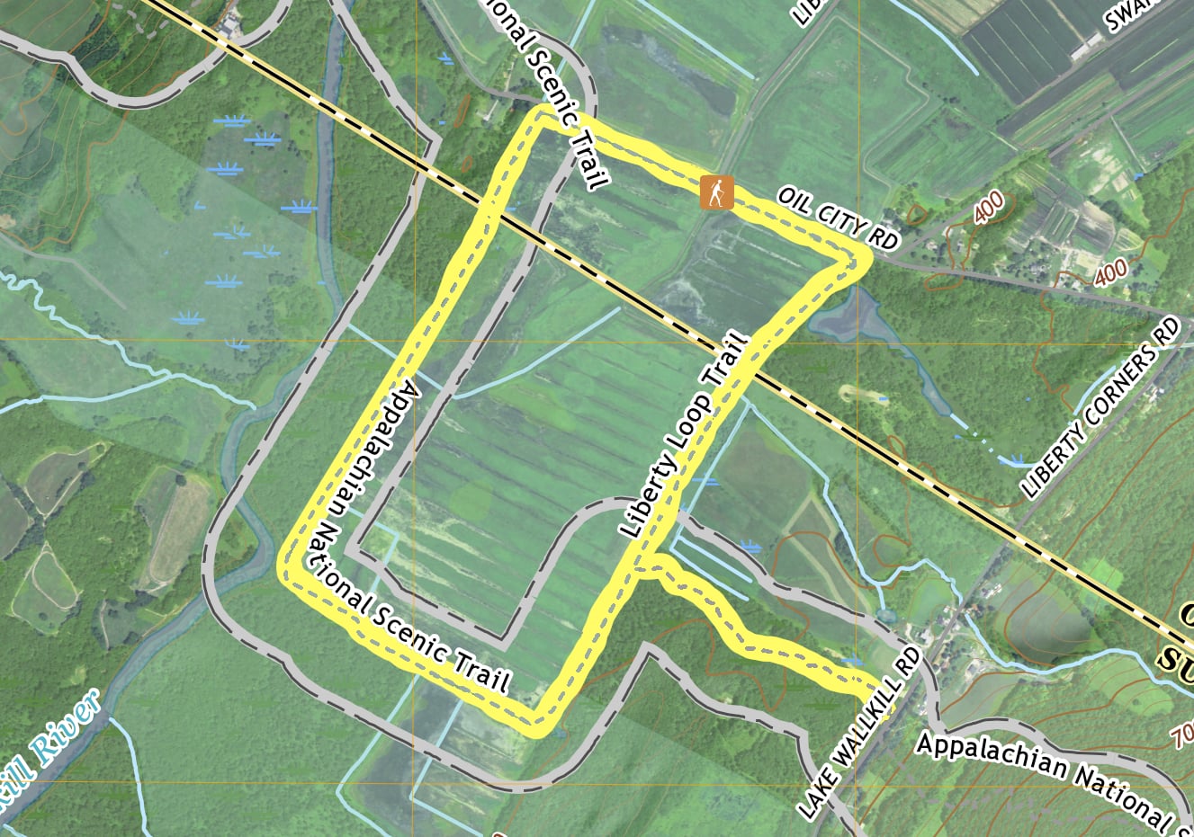
- Liberty Loop Trail map – Wallkill River National Wildlife Refuge
- Appalachian Trail: Delaware Water Gap to Schaghticoke Mountain Map – National Geographic
Trail Description
This is an easy, nearly rectangular loop. The kiosk for the trailhead is on the west end of the parking lot.
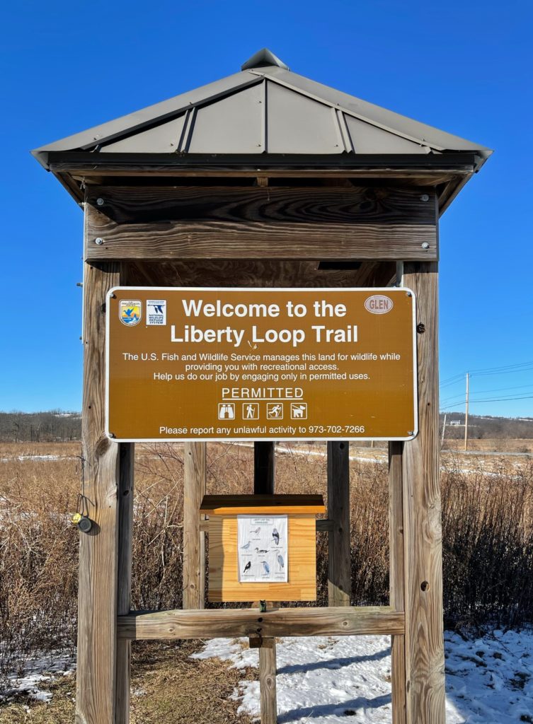
Facing the kiosk, look for the trail on your right. The trail proceeds straight towards the northwest along the north end of the impoundment.
After a quarter mile, the trail makes a sharp 90 degree turn to the left (southwest), where it becomes co-aligned with the white-blazed Appalachian Trail.
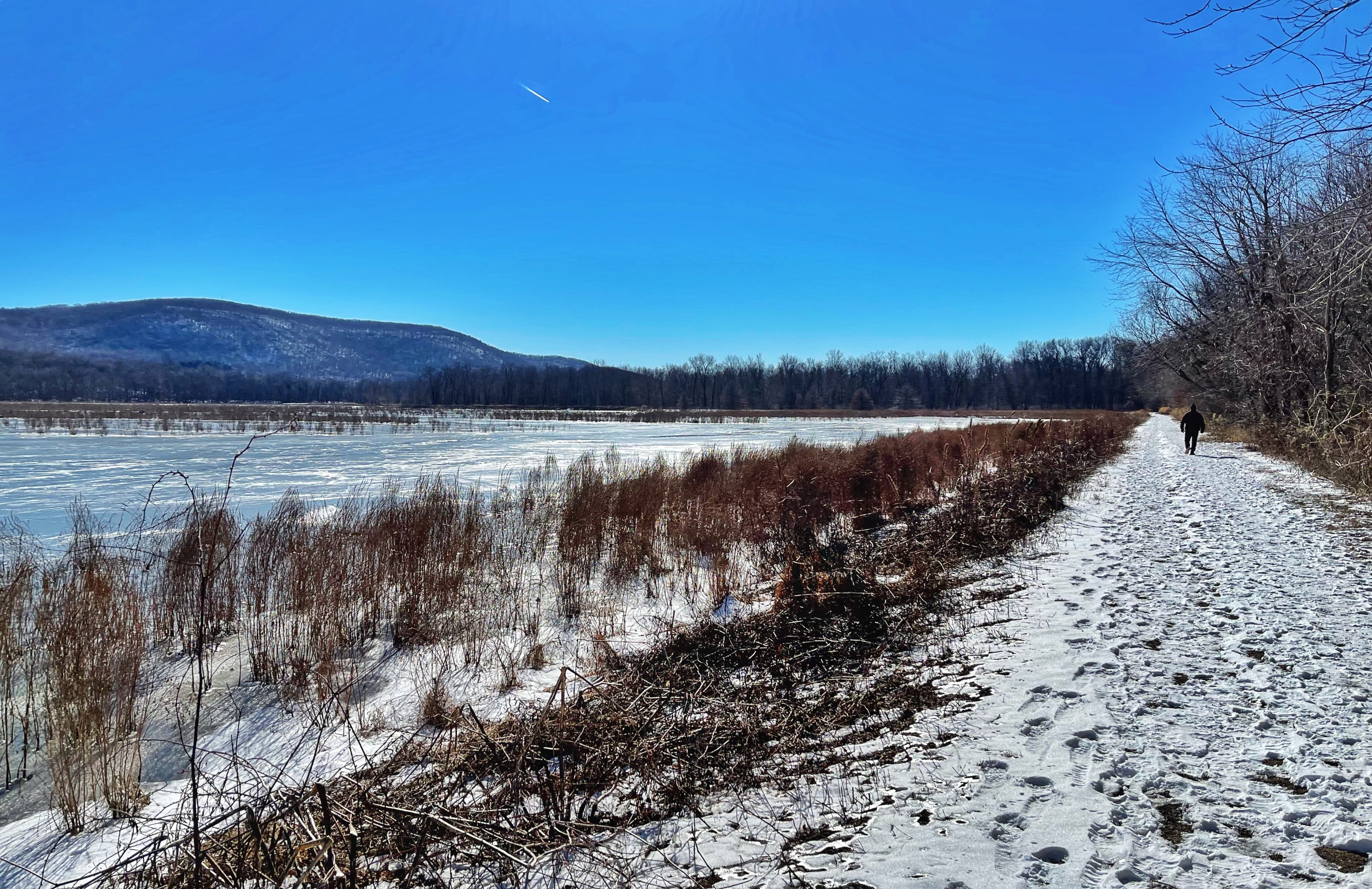
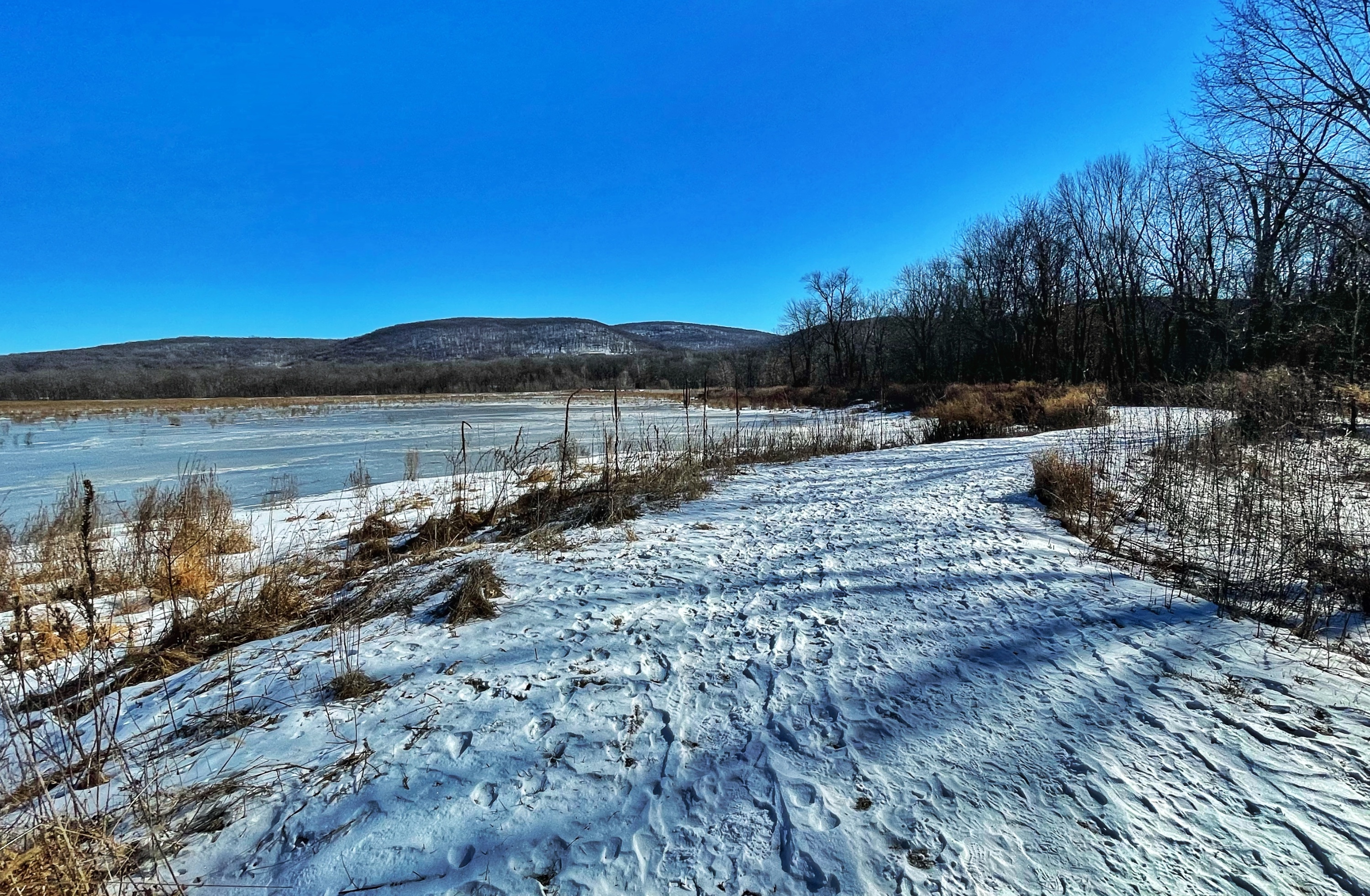
Proceed south along the trail for 3/4 of a mile as it briefly passes a forested area and then opens up again to provide sweeping views of the impoundment and Pochuck Mountain to your east.
The trail then makes another 90 degree bend to the left (southeast). Continue for nearly a half mile.
The trail now reaches a T-intersection.
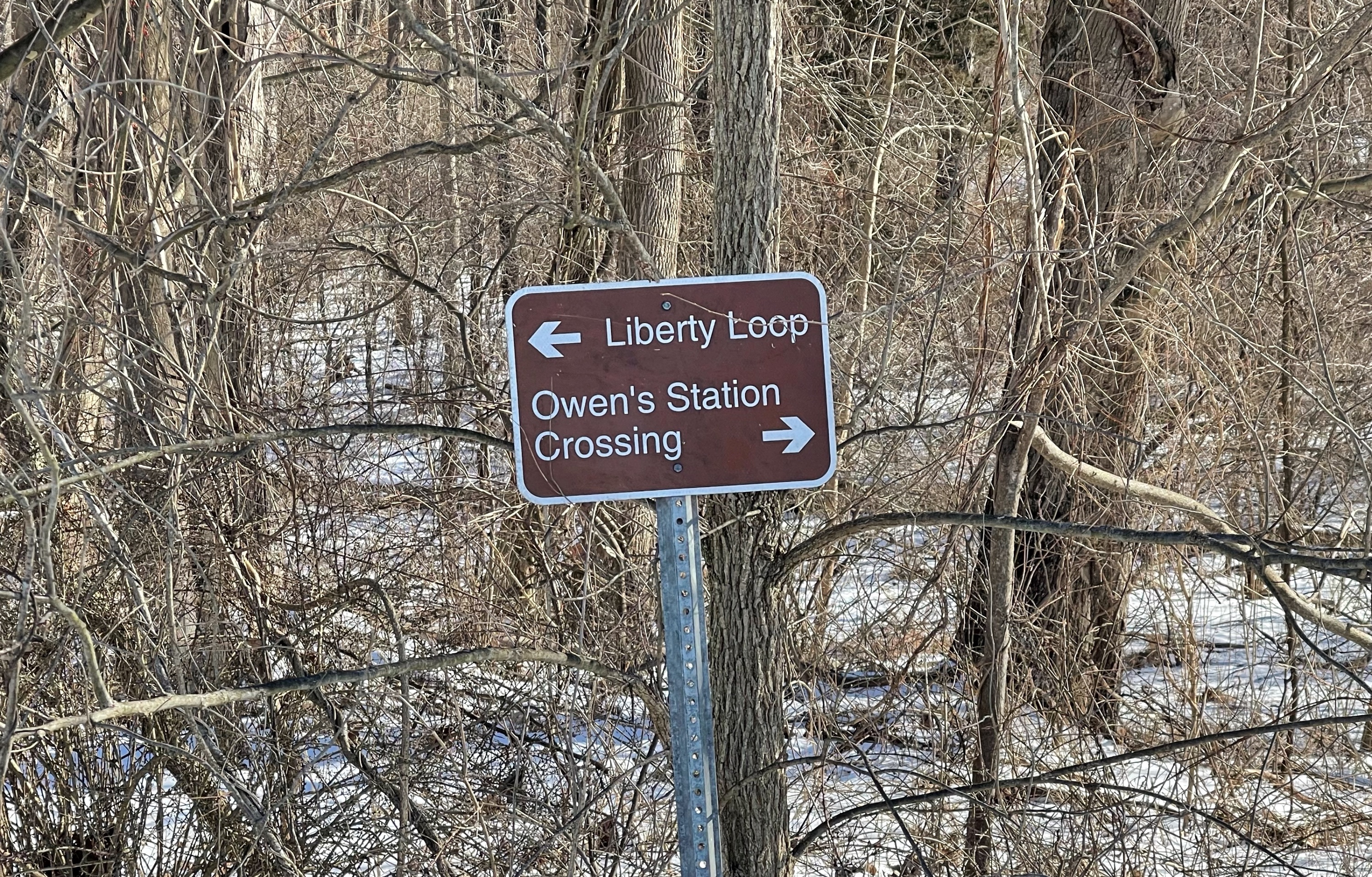
Turn left again to continue to follow the Liberty Loop Trail and Appalachian Trail towards the northeast. Near this junction on your left is a bird blind. You’re now following the former trackbed and right of way of the Lehigh and New England Railroad.
After a quarter mile, you’ll reach a junction where the Appalachian Trail breaks away to the right as the Liberty Loop Trail continues straight.
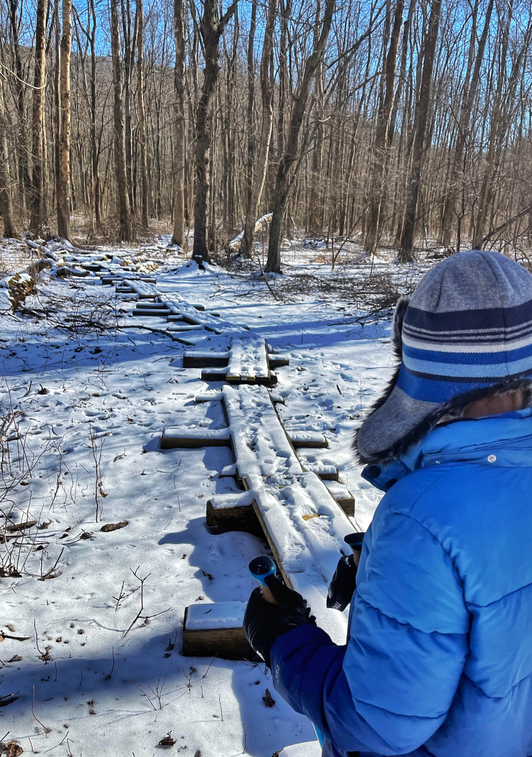
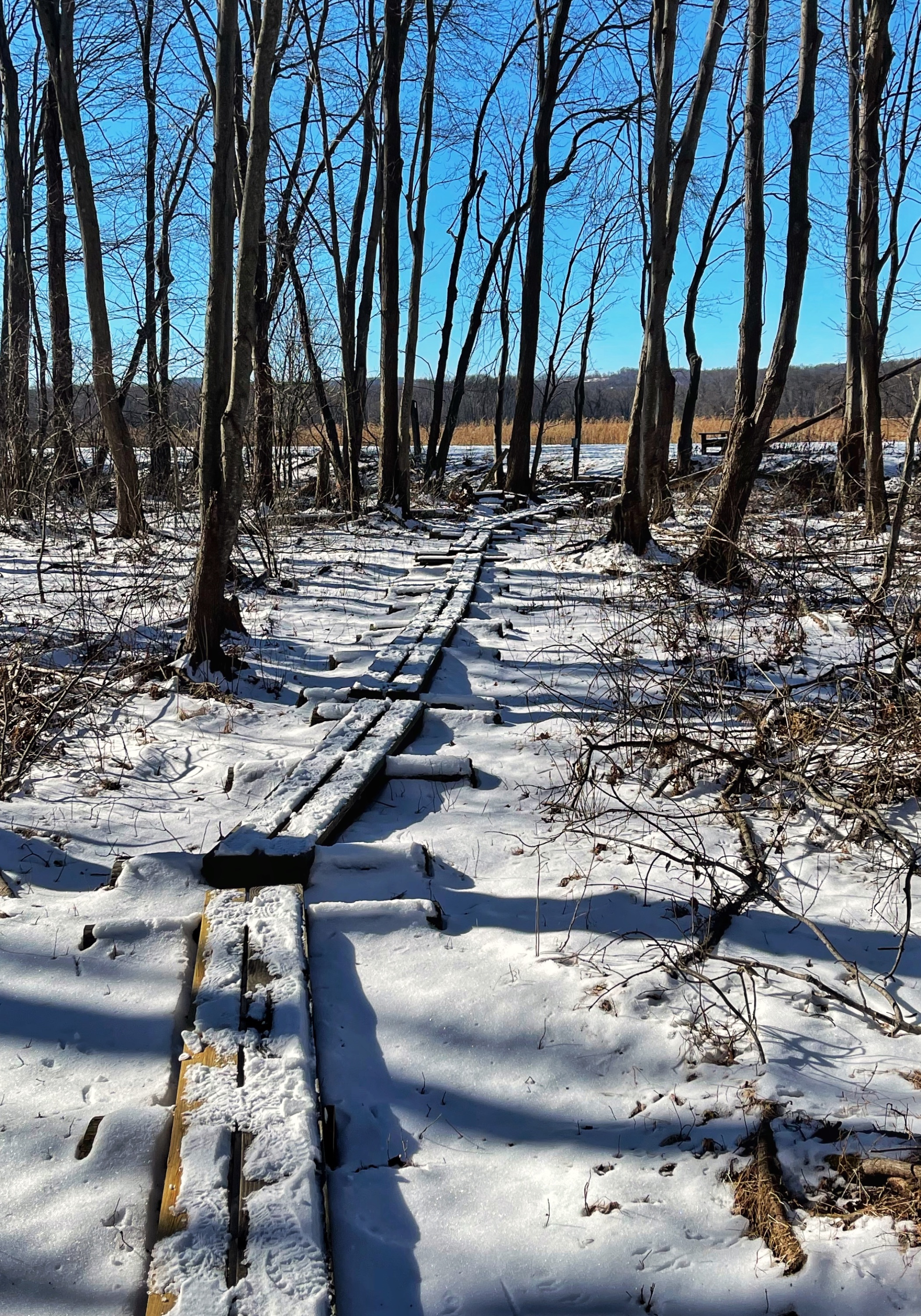
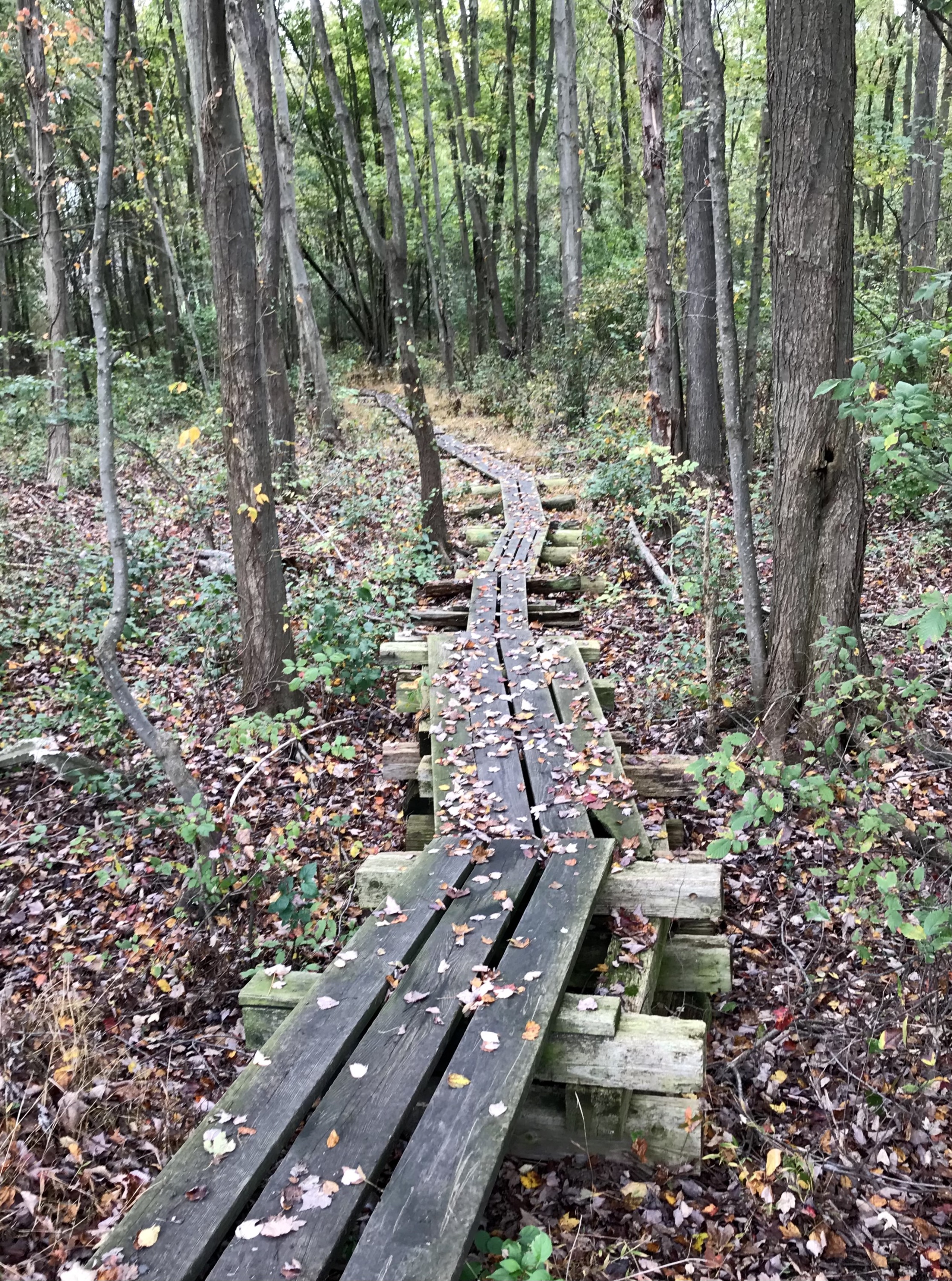
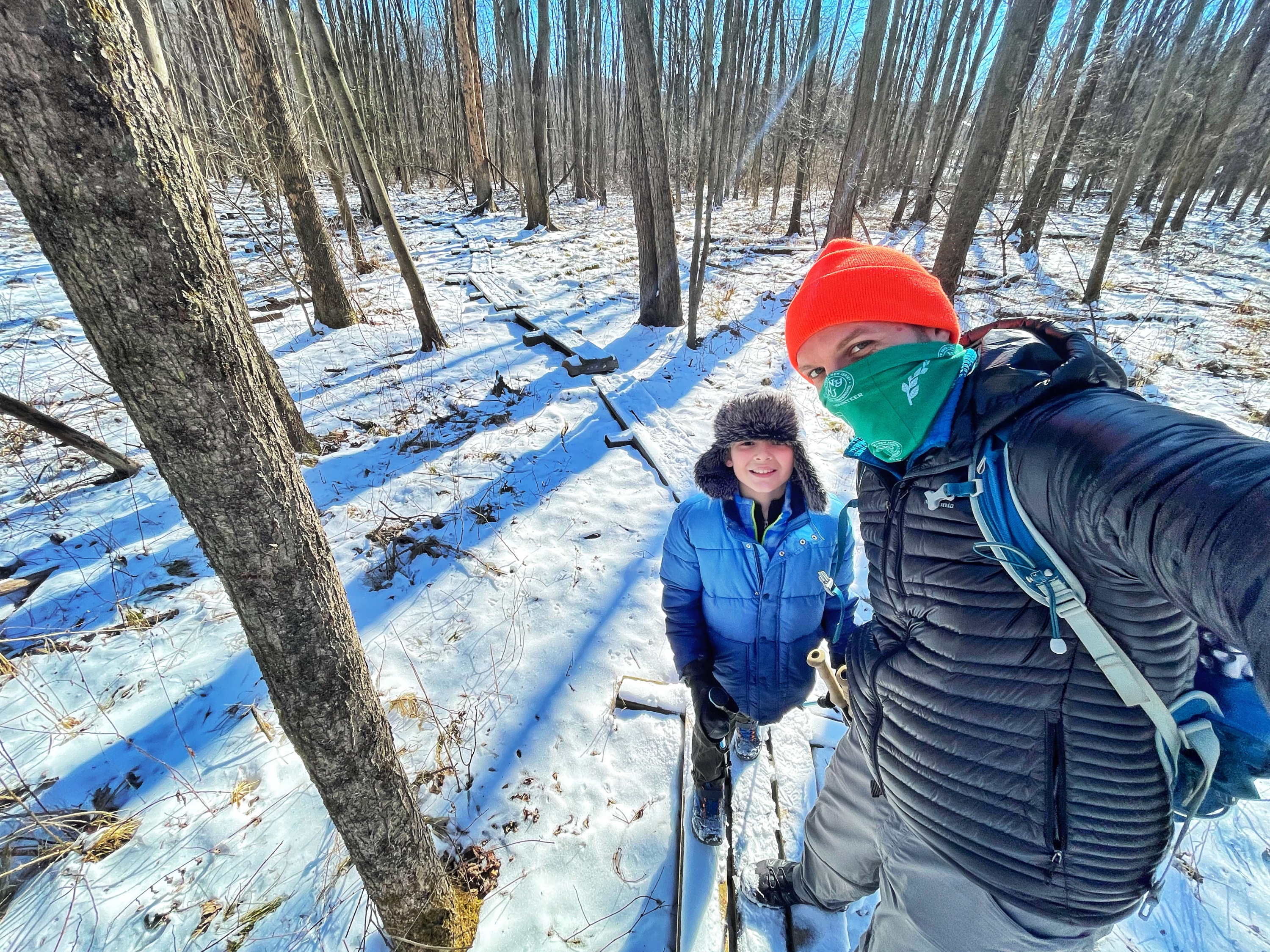
Hike extension option. To add about a 1 mile to your hike, turn right onto this interesting section of the Appalachian Trail which features a 1,600 foot puncheon walkway through a swampy area which was extensively repaired in late 2020. When you reach Lake Wallkill Road, turn around and retrace your steps.
From the junction with the Appalachian Trail, it’s another half mile to the northeast, at which point the trail makes a final sharp turn to the left and another quarter mile back to the parking lot.

