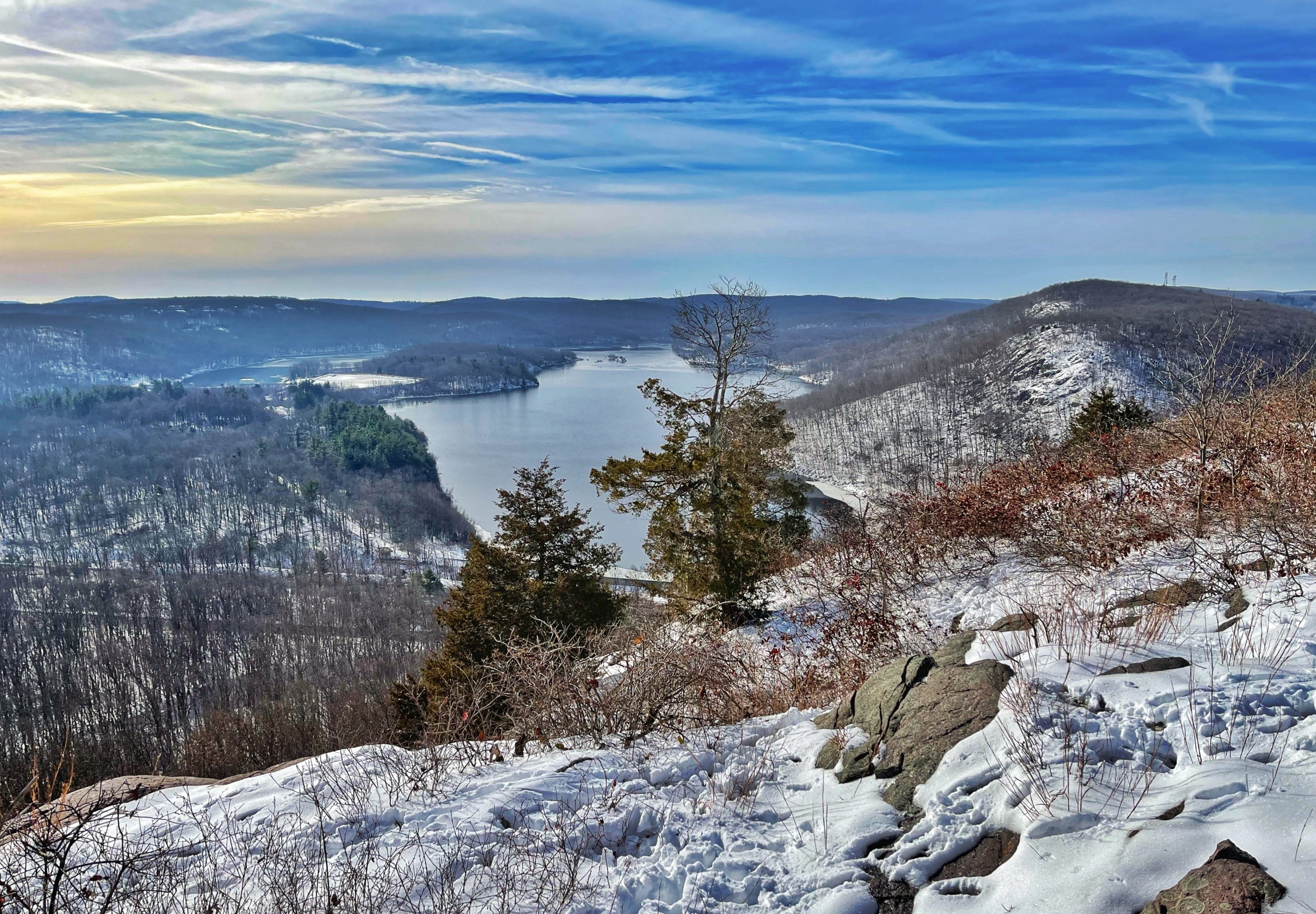
Overview of Kanouse Mountain Hike
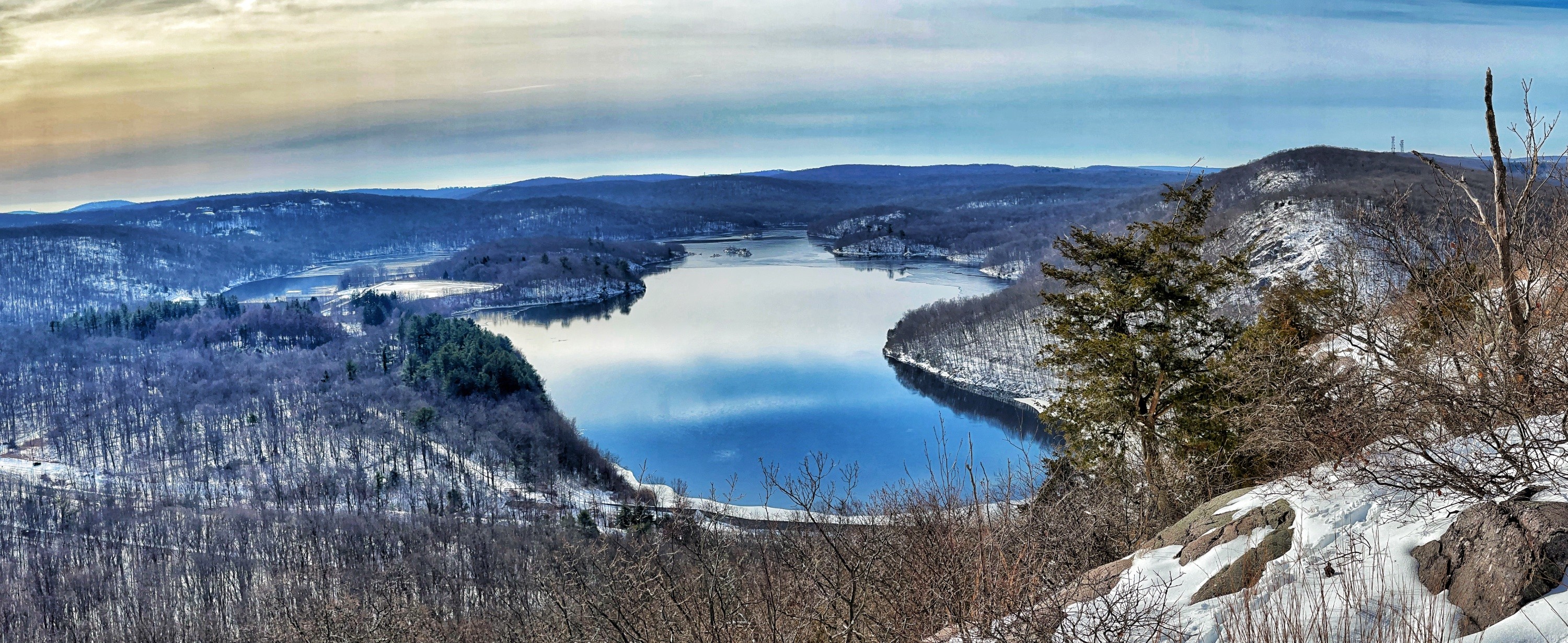
A relatively short hike to the southern end of Kanouse Mountain along an unmarked trail to a great view of the Charlotteburg Reservoir and surrounding hills.
Hiking in the Pequannock (Newark) Watershed requires a permit issued by the City of Newark.
Hike length: 1.6 miles
Elevation gain: 350 feet
Location: Pequannock Watershed, New Foundland, NJ
Parking: Park in the picnic/rest area pull-off along Route 23 in New Foundland, NJ.
Map
Note: this is an unmarked trail with only some faint old blazes so this trail does not appear on most maps.
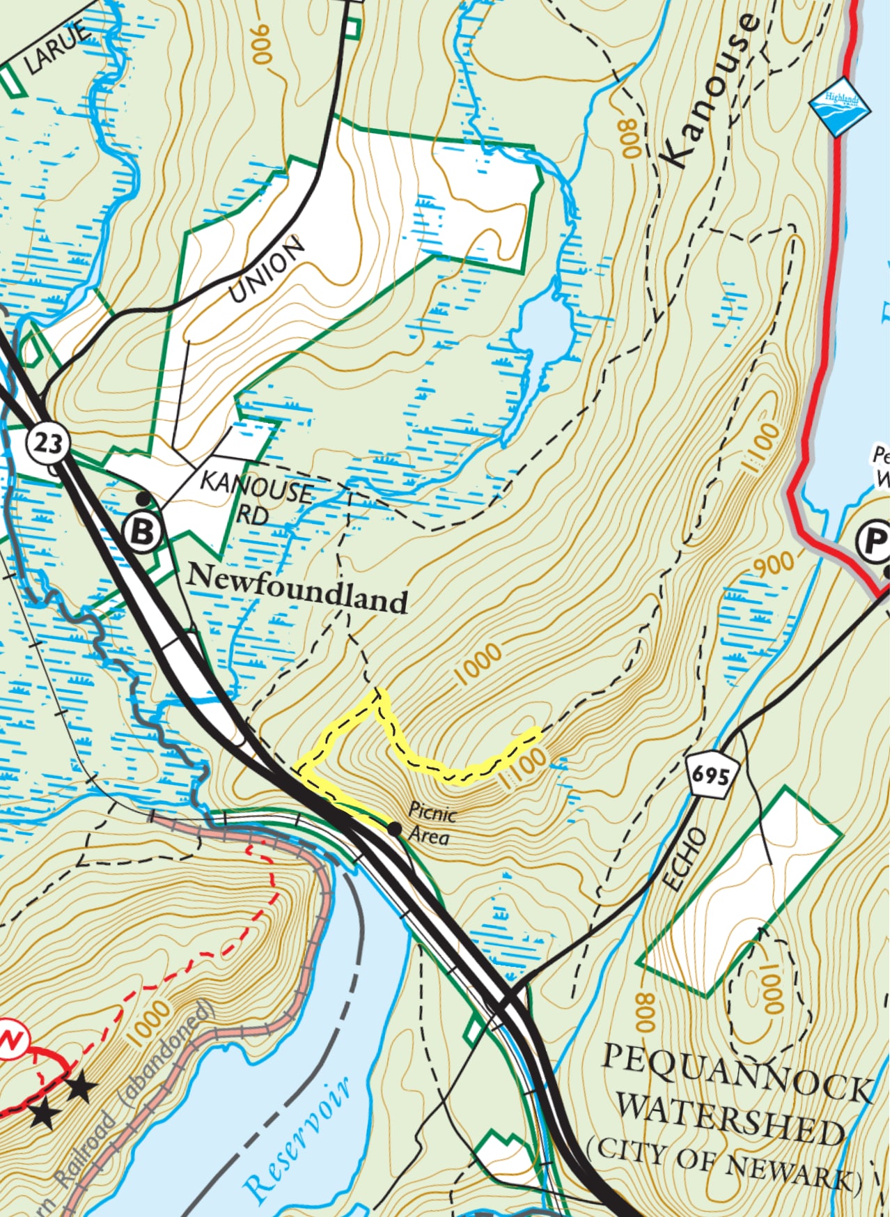
Trail description
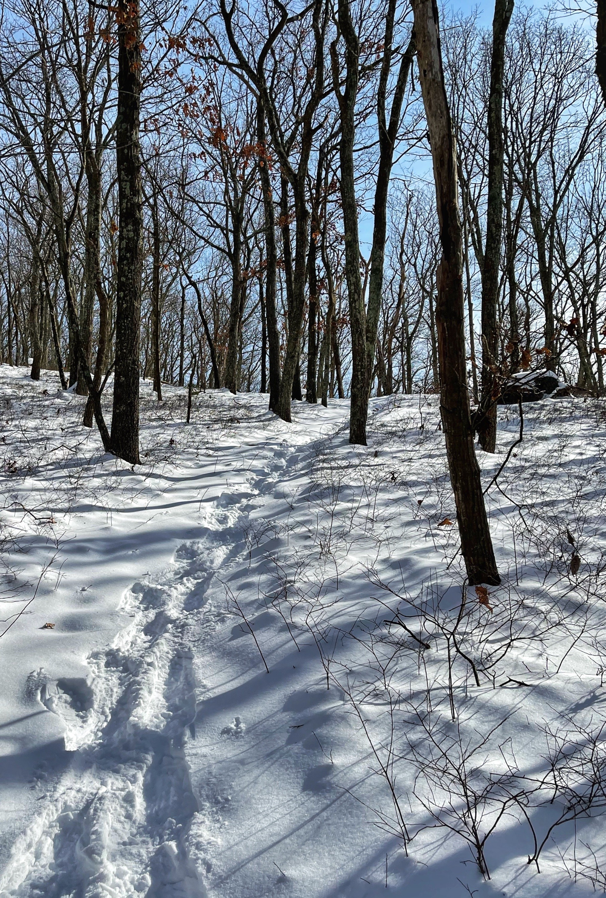
This trail is generally unmarked and may require some bushwhacking. Although there are some old red blazes in a few areas, you should not rely on them. It is highly recommended that you carry a map and if you are not accustomed to navigating, using an app such as Avenza that displays your position on the trail map (purchase the Jersey Highlands digital map from the NY-NJ Trail Conference).
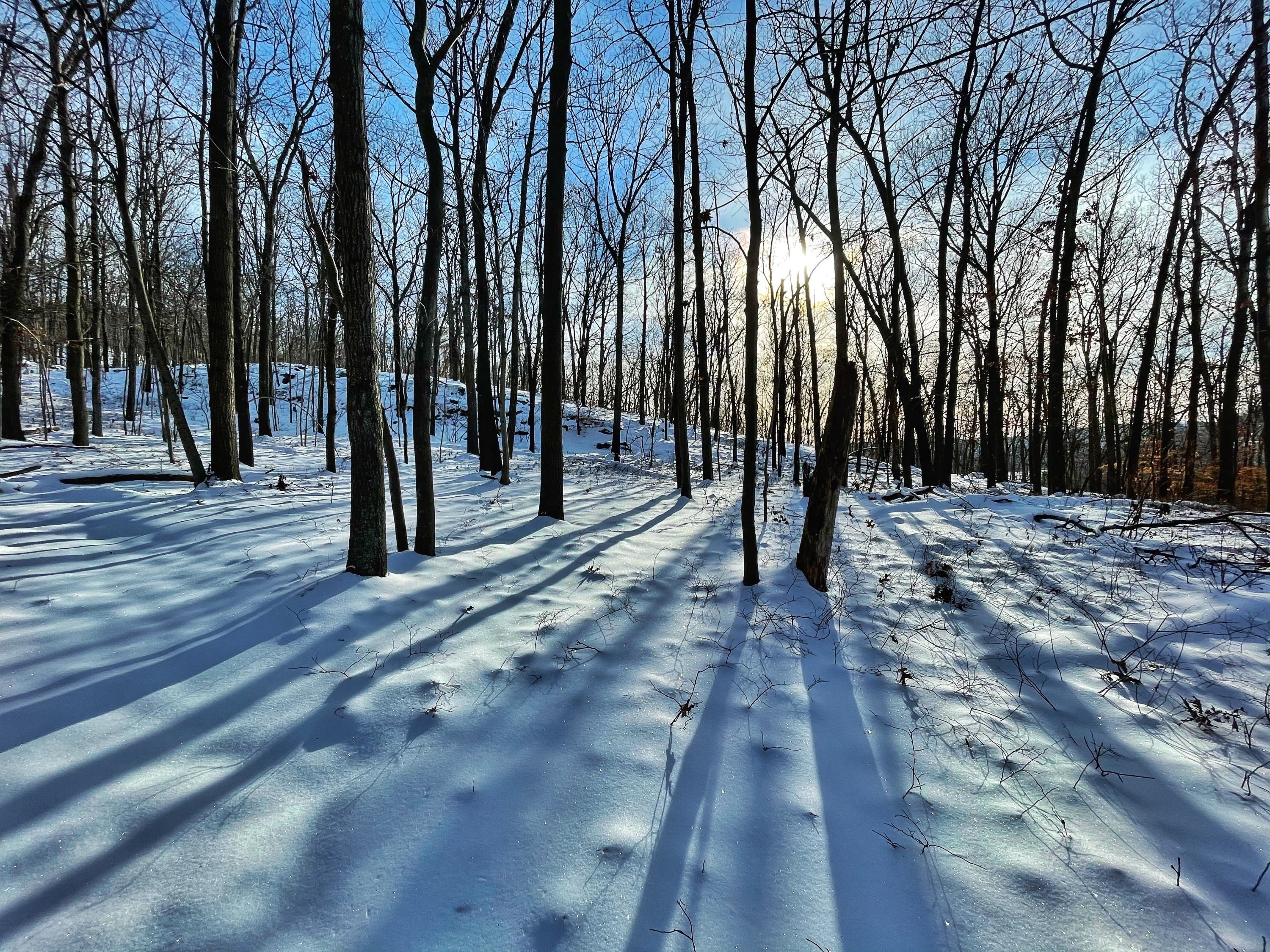
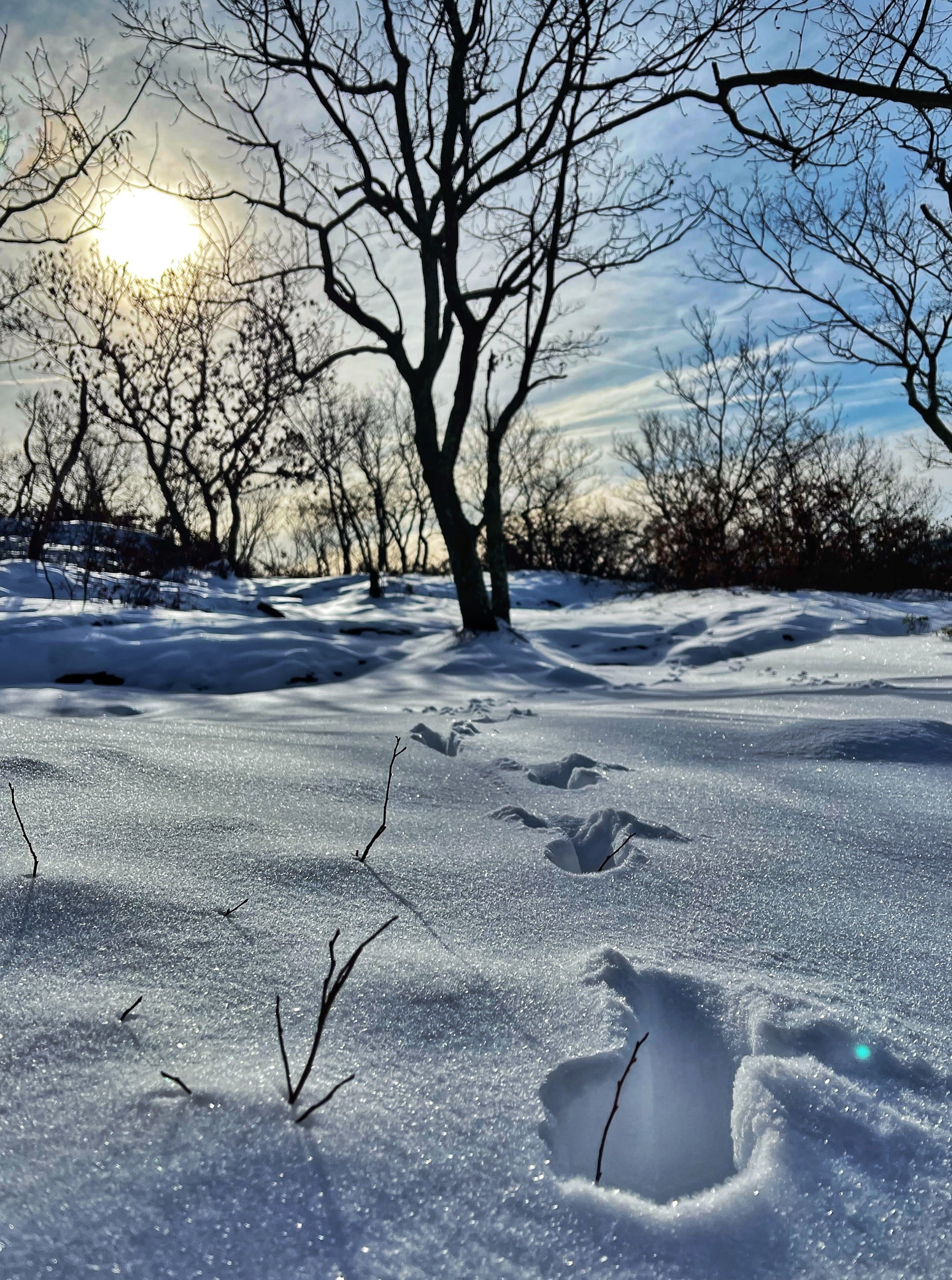
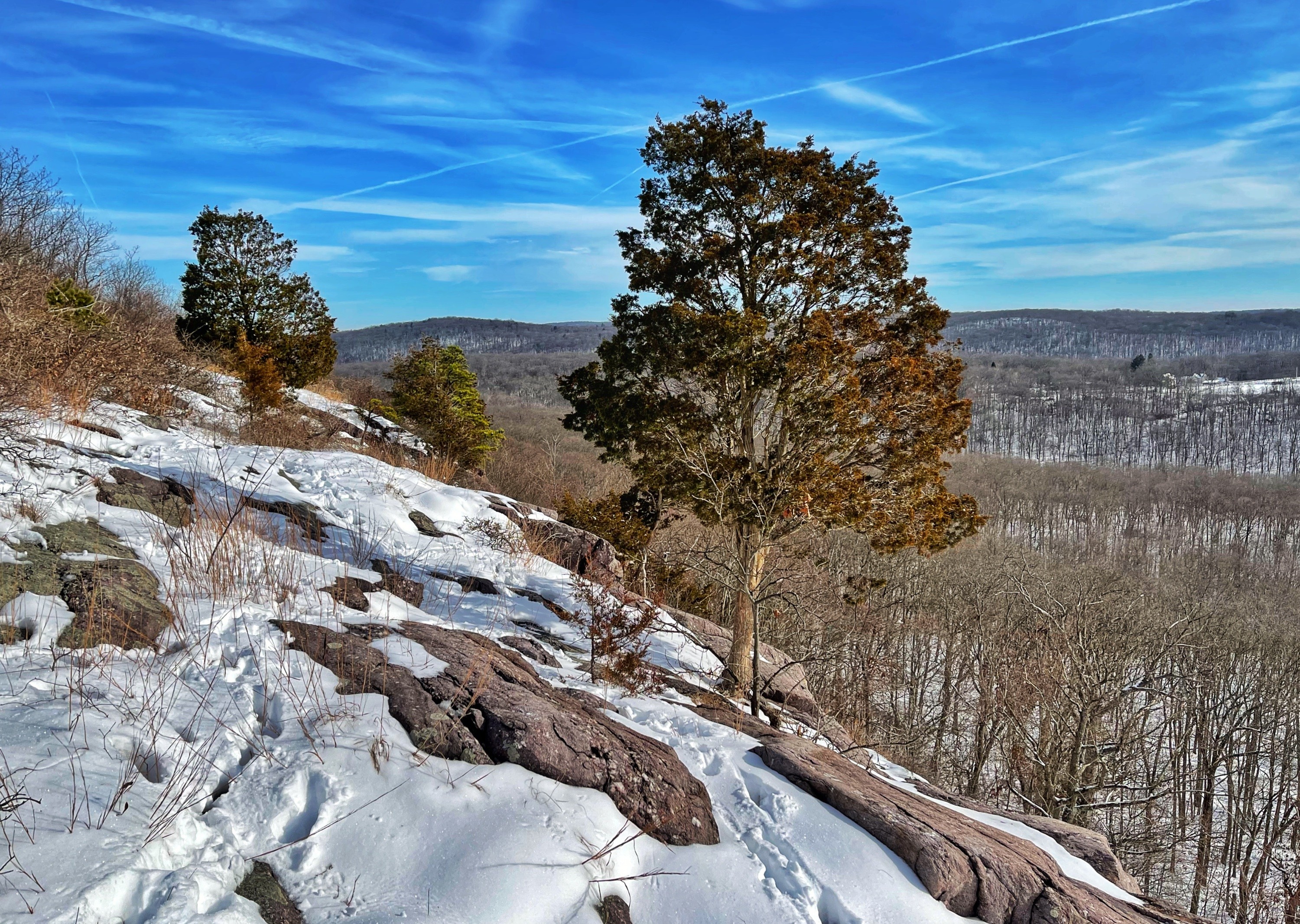
I hiked this trail while it was snow-covered, so the photos may not clearly depict how the trail will appear when it is free of snow.
Park in the Route 23 picnic/rest area. Walk to the north end of the rest area.
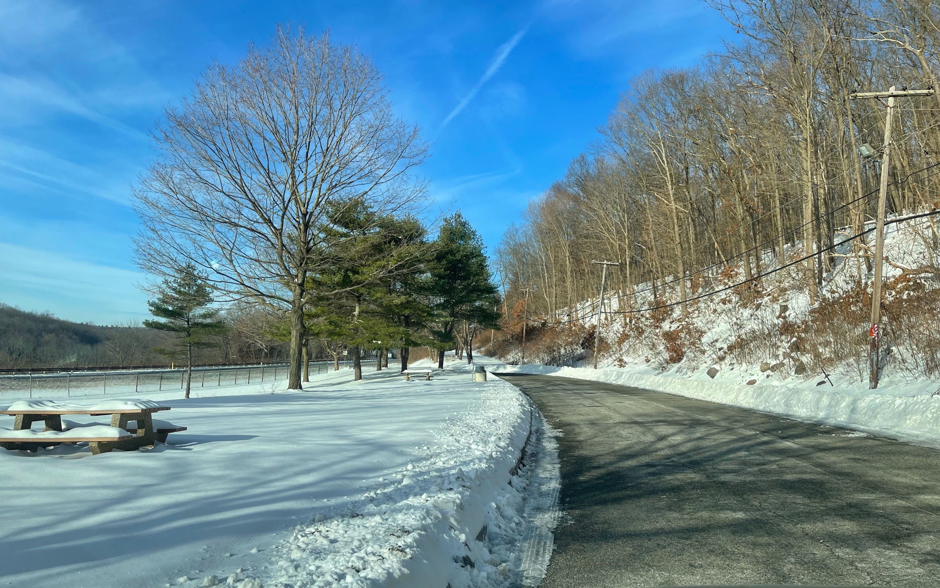
Follow the utility poles north into the grassy area and head uphill.
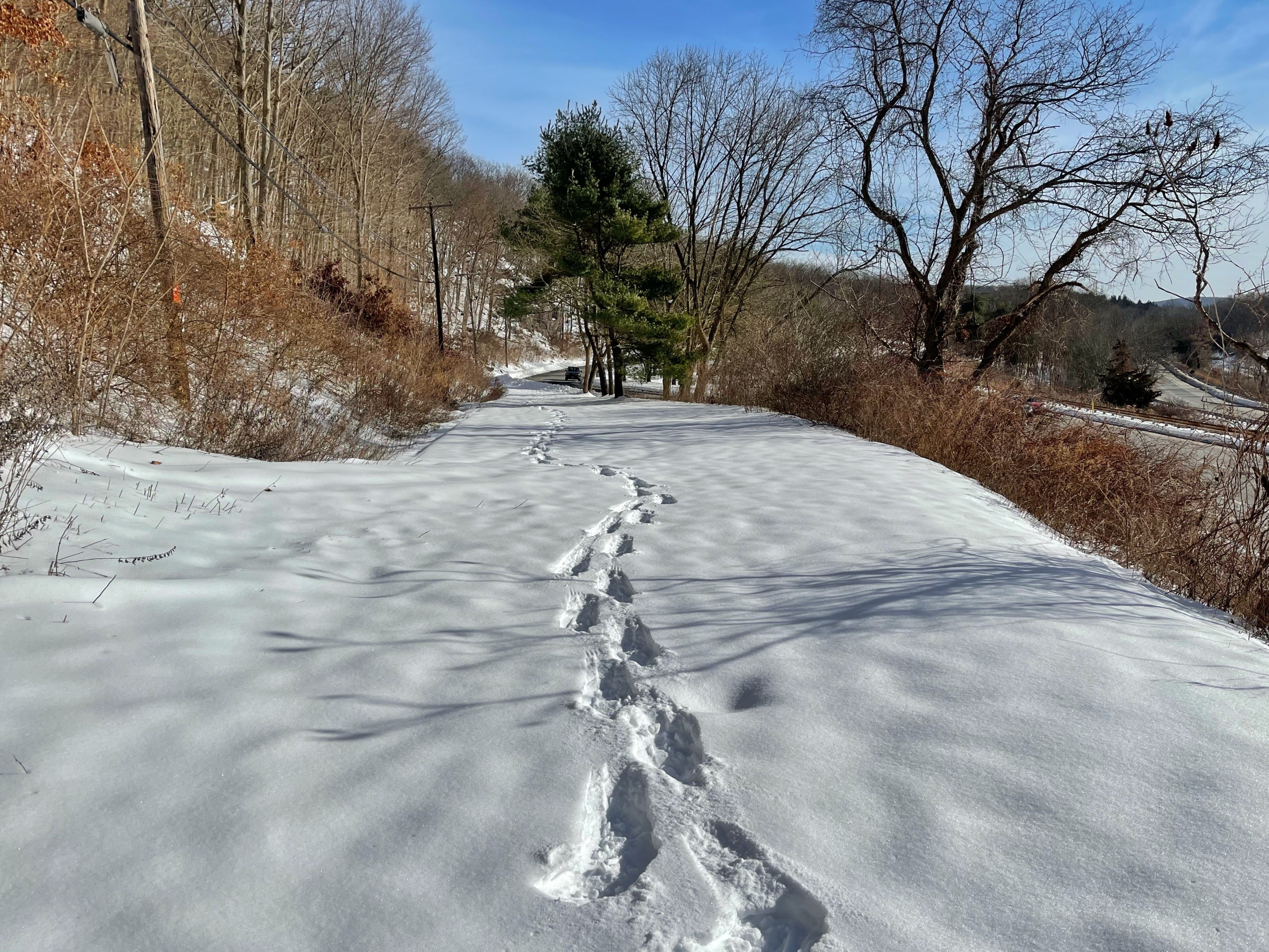
Continue uphill as the trail crosses under the utility lines.

Soon, you’ll make a left onto a woods road that parallels the utility line, which will be on your left. After about 500 feet, look for a path on your right. There is a tree with a faint red blaze indicating the location.
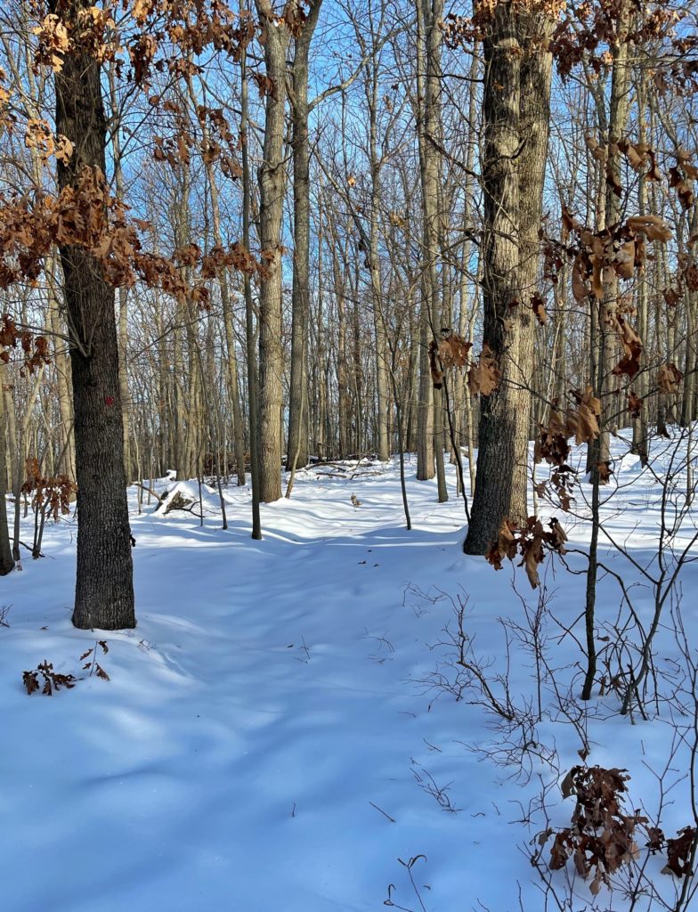
The trail now climbs gently for about 1,000 feet, then makes a 90 degree turn to the right and climbs more steeply.
The trail climbs until it reaches a woods road that runs along the ridge of the mountain. When you reach it, turn right onto the woods road.
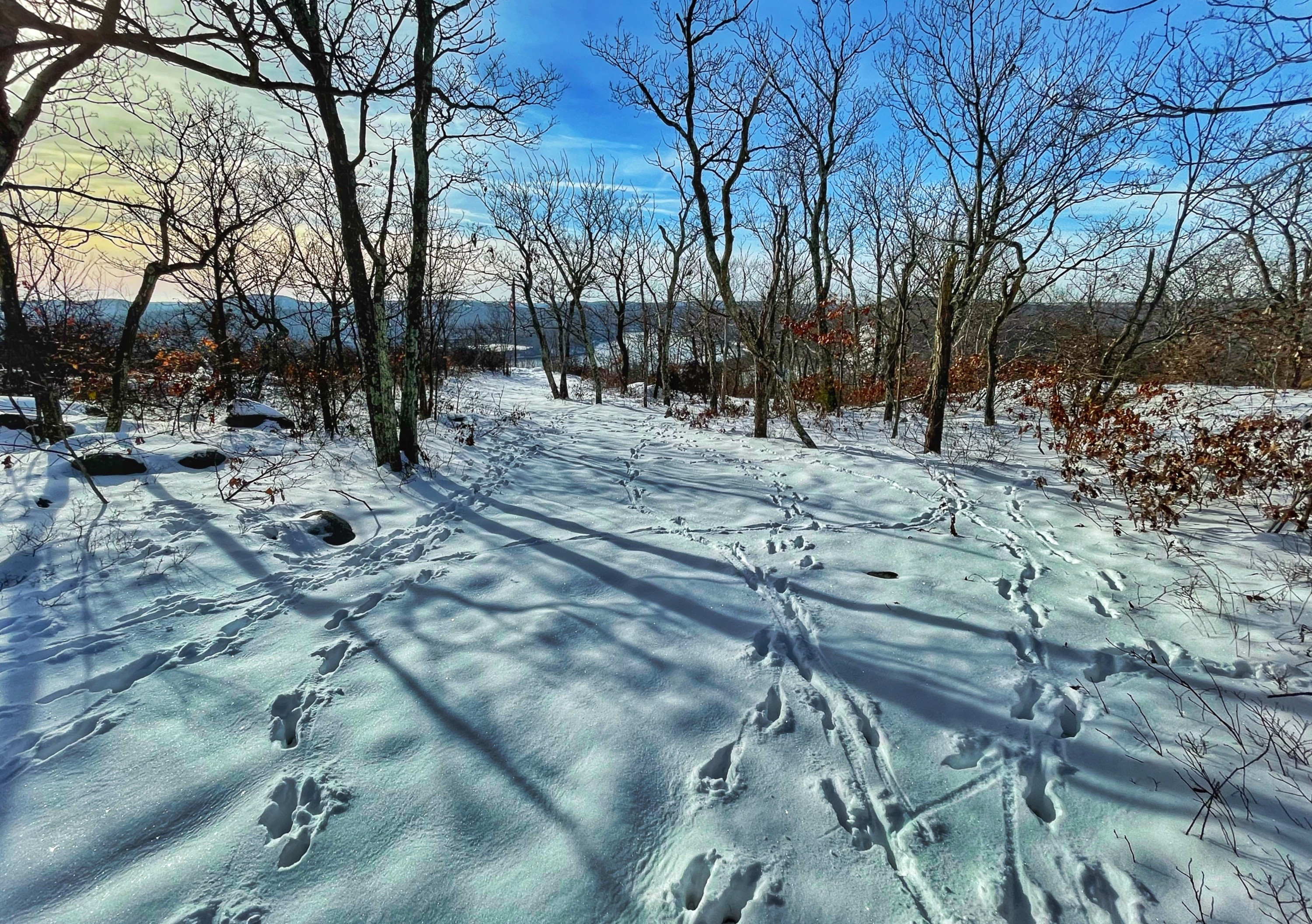
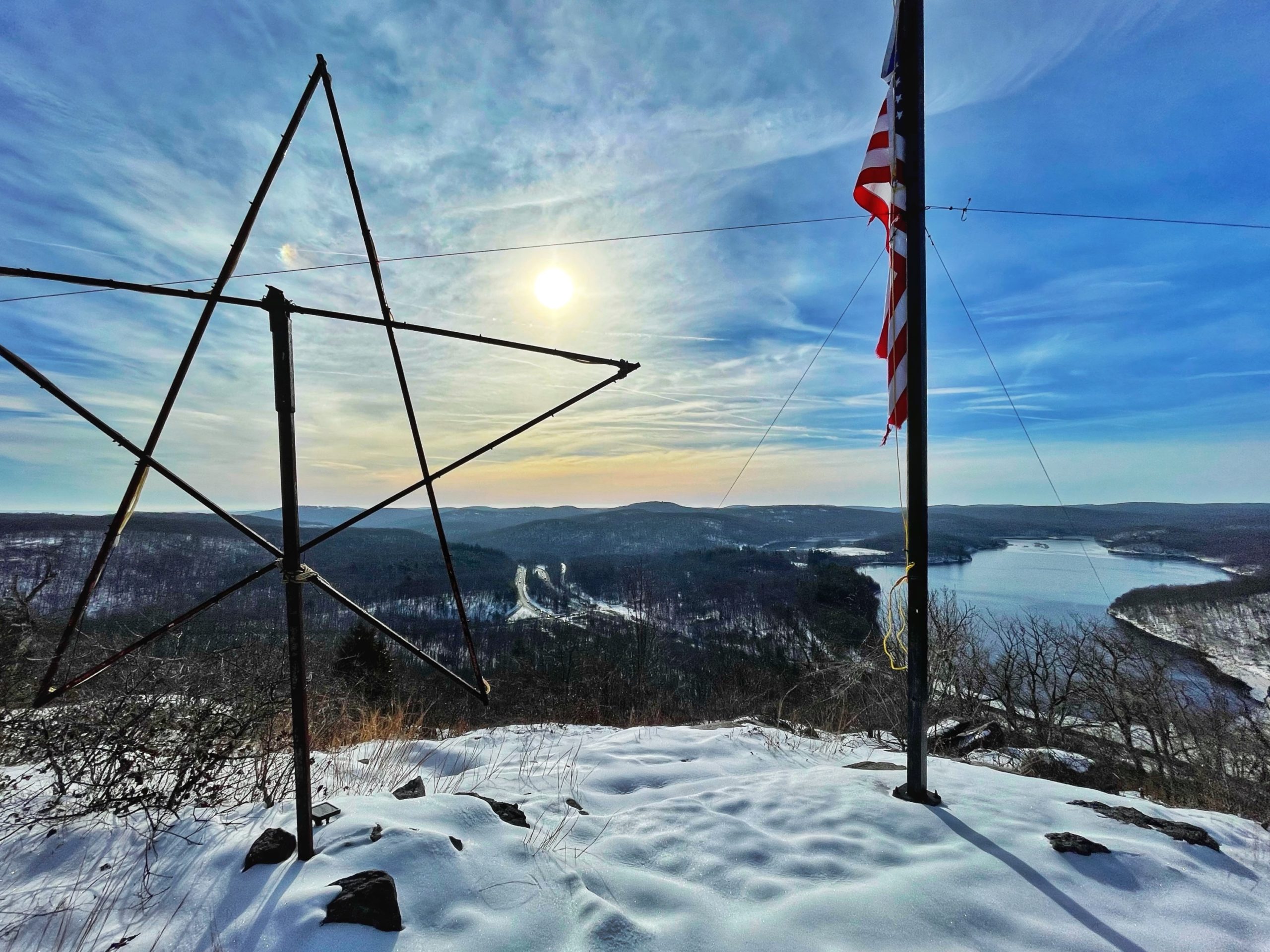
Follow the trail a short distance to a lookout at the south end of Kanouse Mountain withan American Flag and a large star that was once illuminated. Ahead of you is the Charlotteburg Reservoir and to the right (not shown in the photo below) is Copperas Mountain.
Now head north along the woods road for about 300 feet. Look for a tree on your right with a faded blue blaze.

Bushwhack through the trees on your right to make your way to the rocky eastern cliff of Kanouse Mountain. This area provides great views of the reservoir to the south and the hills to the east.
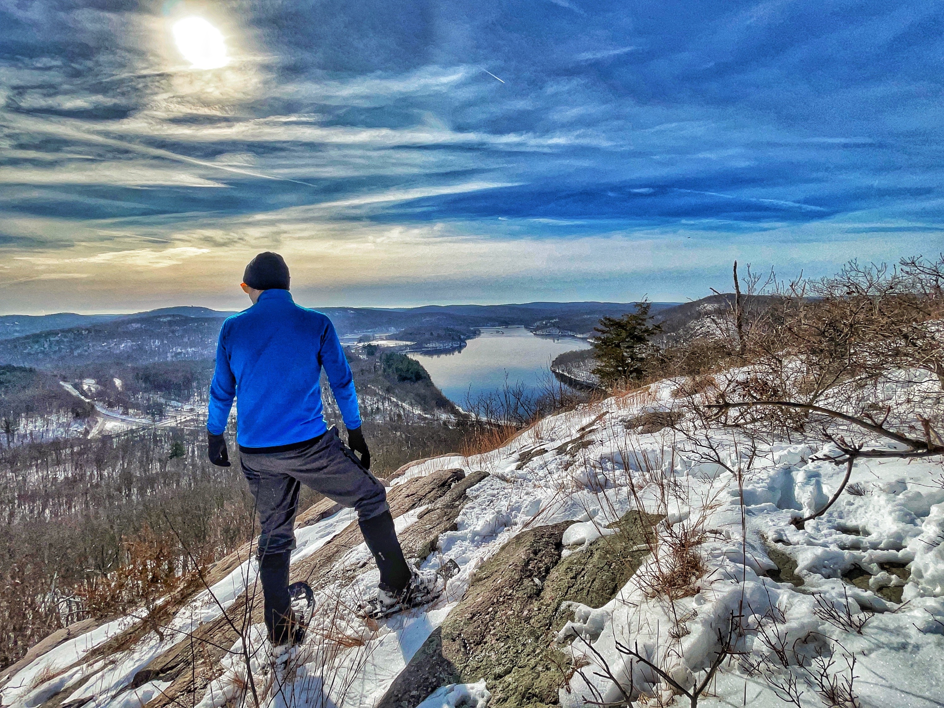
When you’re done, turn around and retrace your steps back to the parking area.

