Overview: It’s easy to see why Kaaterskill Falls is one of the most popular destinations in the Catskills. Paired with a loop to Inspiration Point along the Escarpment Trail with panoramic views of the Kaaterskill Clove, this is one of the most rewarding hikes, hands down.
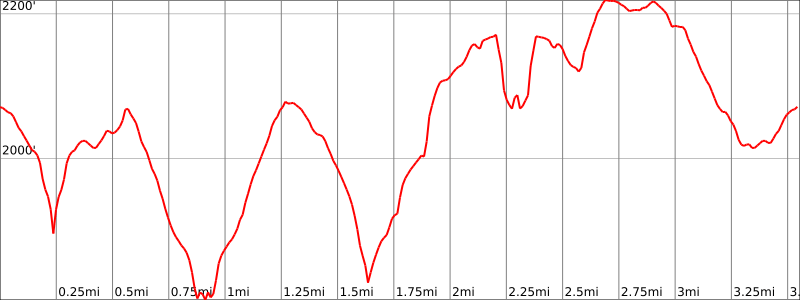
Hike Length: 3.5 miles
Elevation gain: +1,130′
Location: Kaaterskill Wild Forest, located in the Catskill Forest Preserve (Catskill Park), Hunter, NY
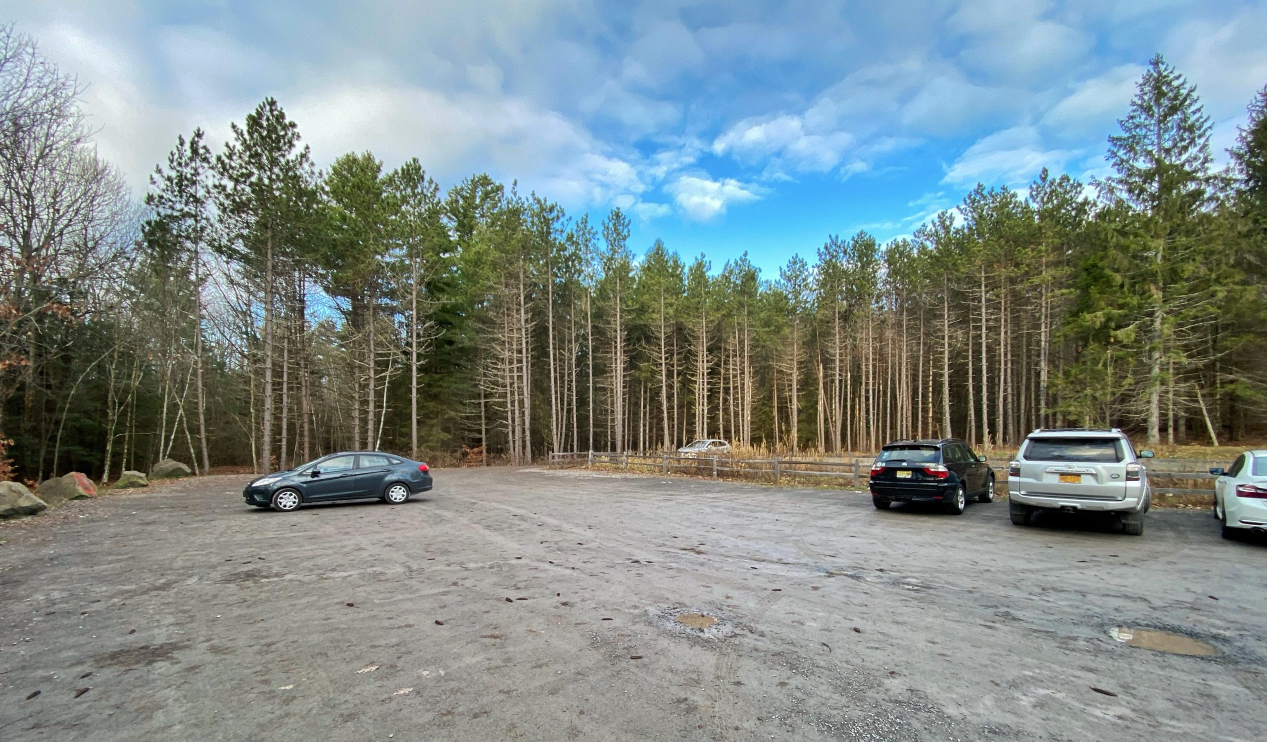
Parking: Park at the Laurel-House Road Parking Area, 103 Laurel House Rd, Palenville, NY 12463, located off of North Lake Road .5 miles before the entrance to the North South Lake Campground (42.195628 °N, 74.08173°W). The parking lot fills up very quickly on weekends.
Maps:
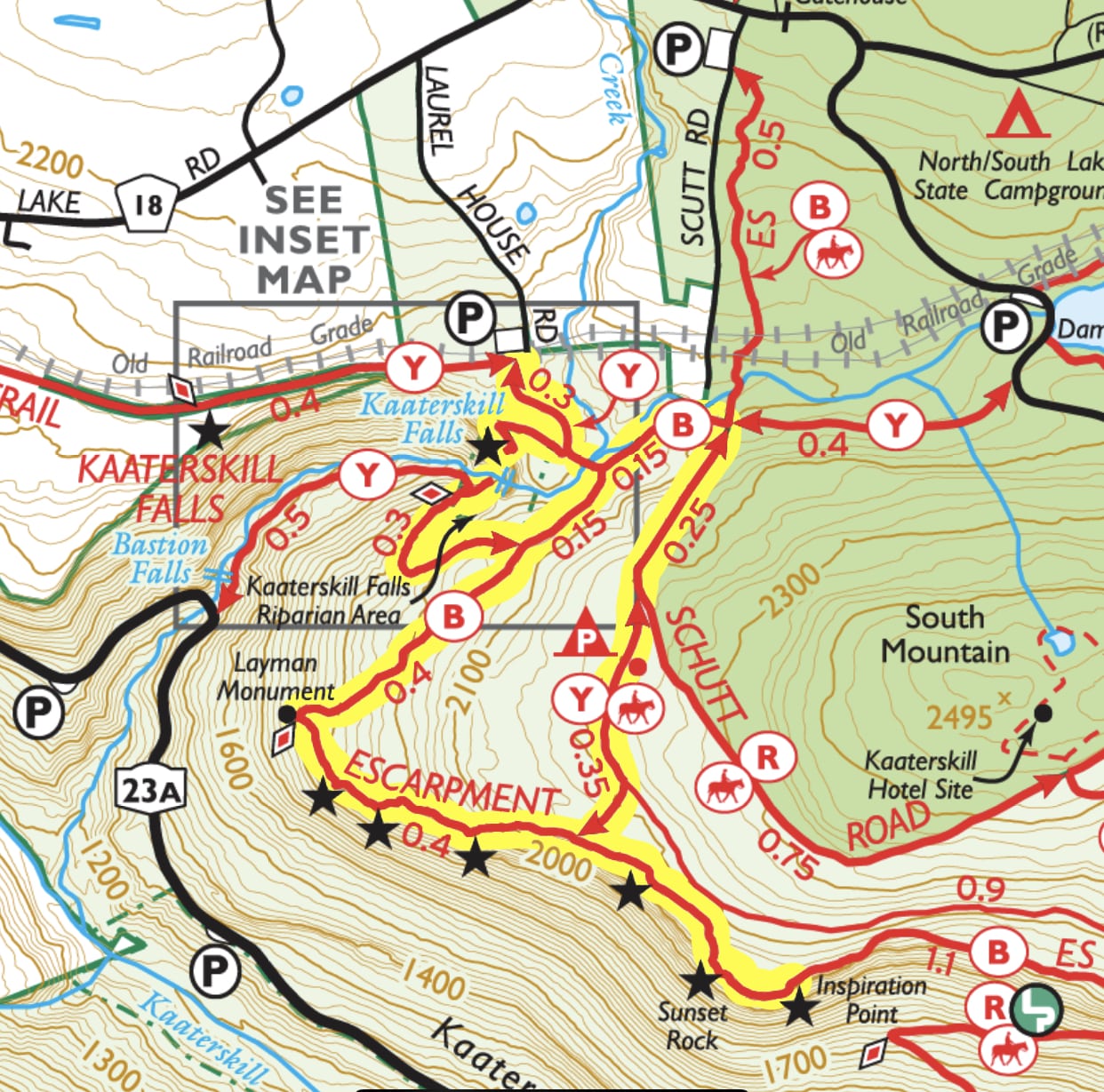
Trail description:
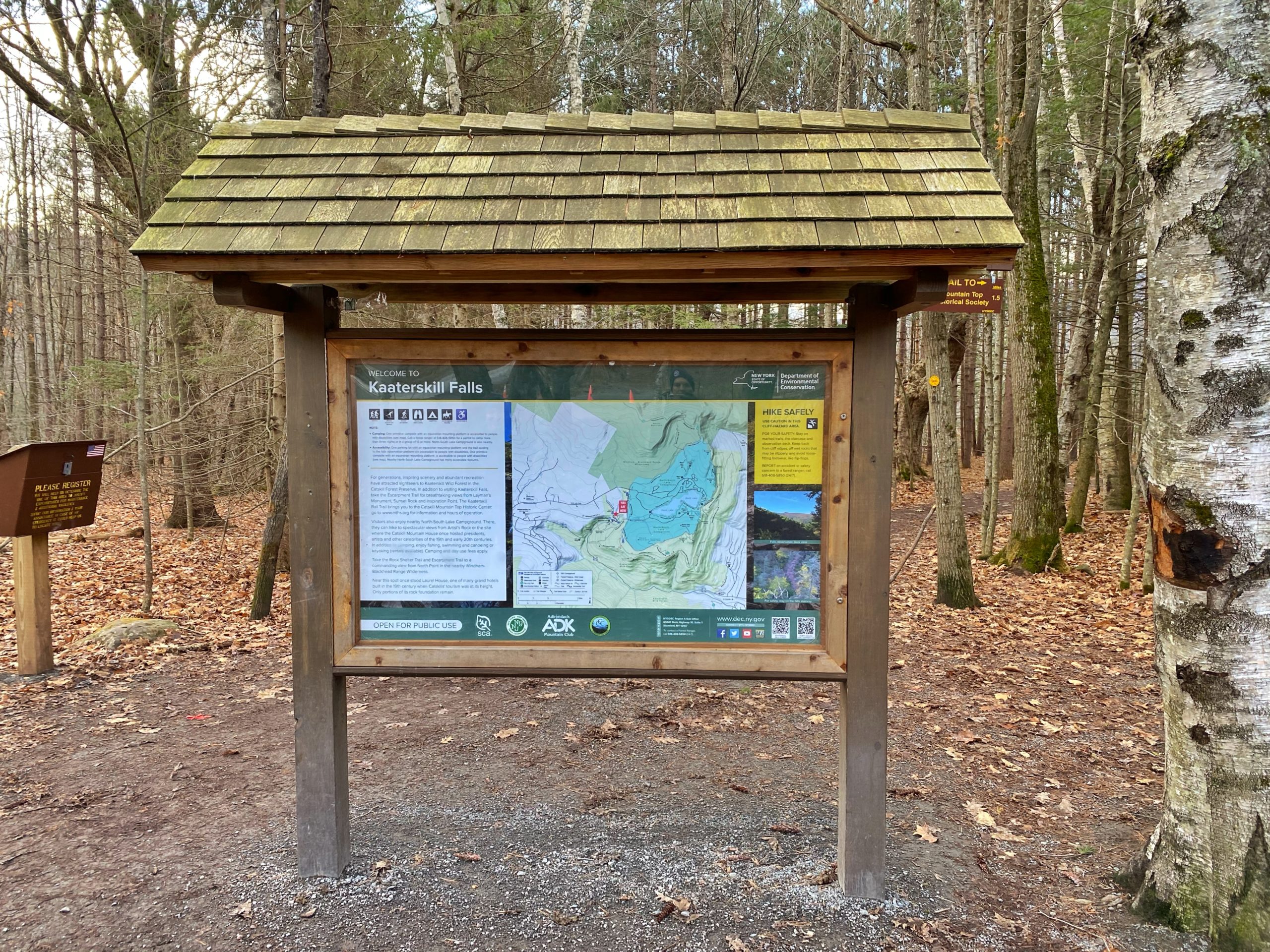
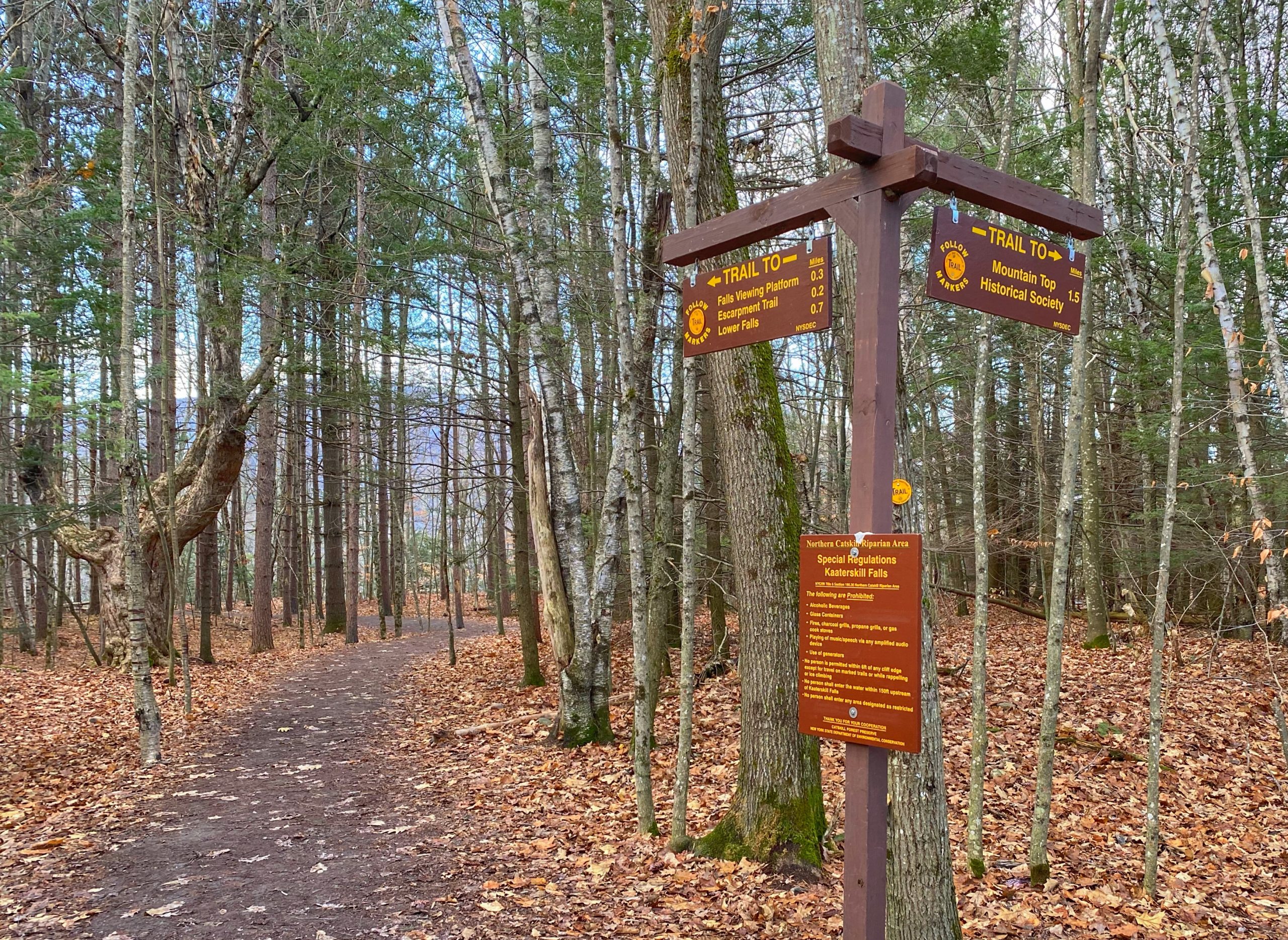
From the Laurel-House Road Parking Area, look for and head towards the kiosk.
Follow the sign towards the Falls Viewing Platform.
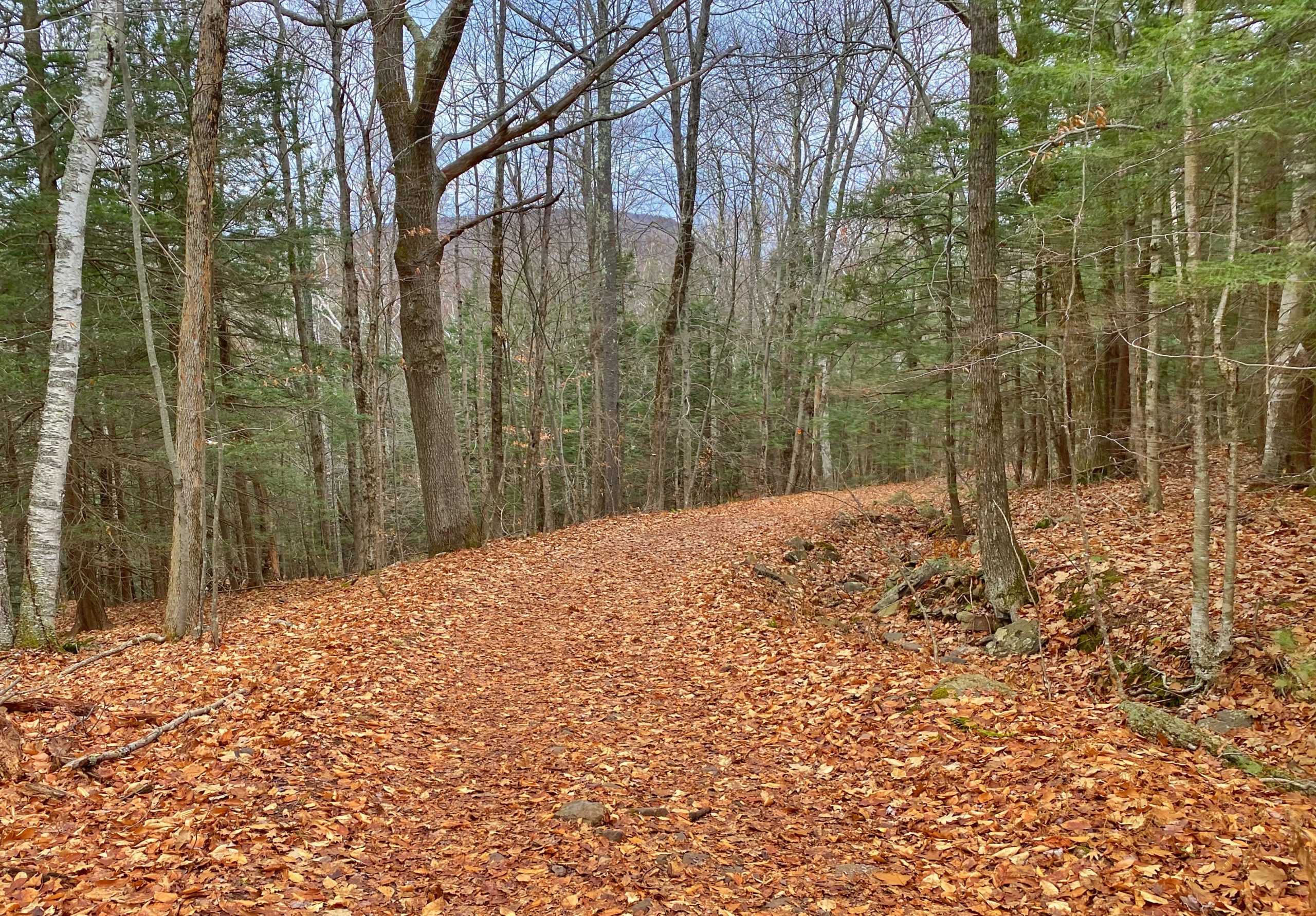
Enter the woods along a well graded, firm gravel trail and follow the yellow blazes. You’ll immediately pass through almost symmetrical rows of evergreens.

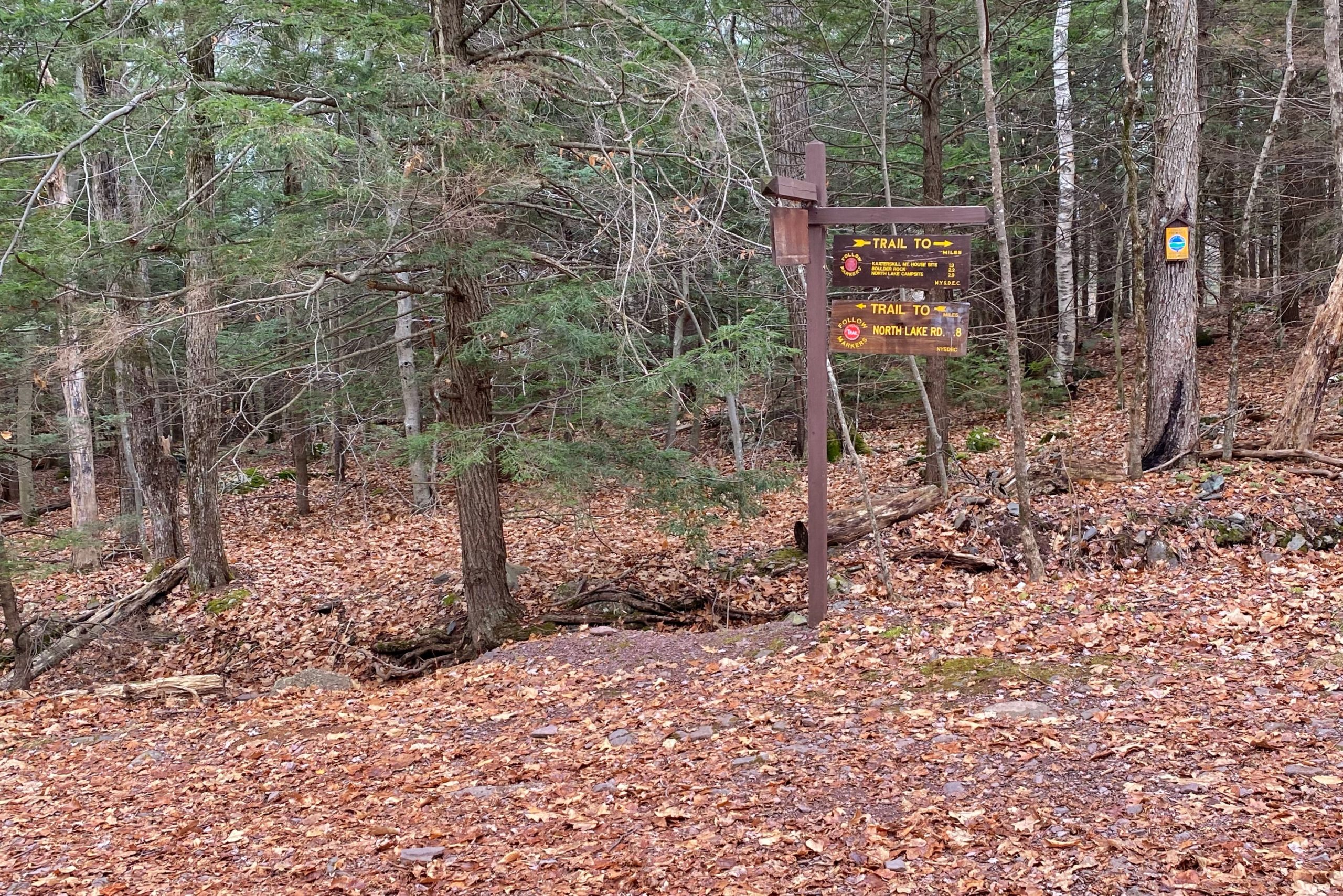
After about 0.2 miles, you’ll reach a junction with the Escarpment Trail.
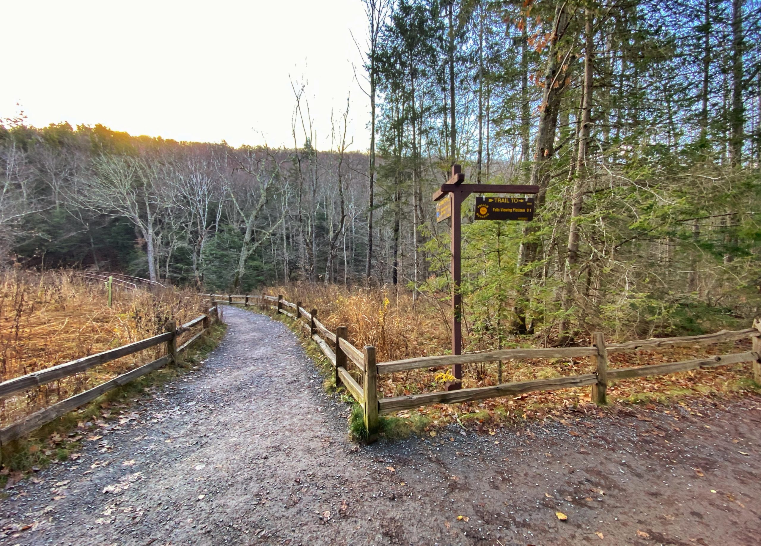
For now, stay to the right and follow the sign towards the Falls Viewing Platform in 0.1 miles. We will return to this junction later.

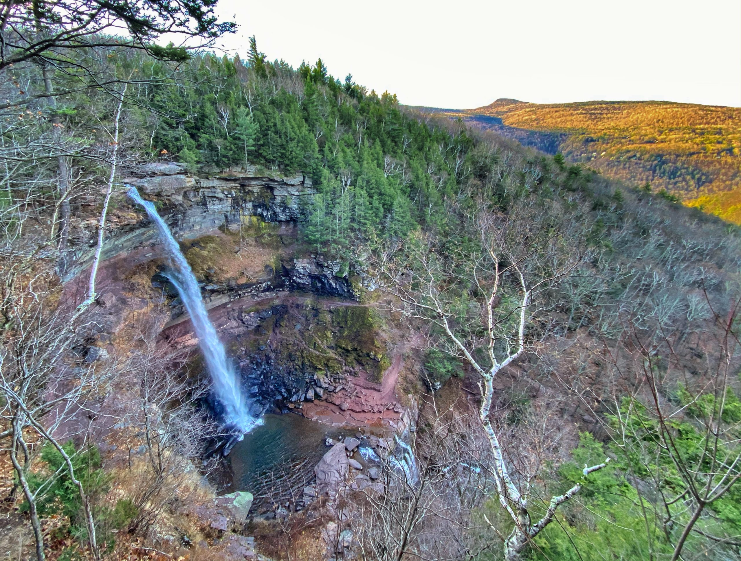
If you’re lucky, you might find yourself alone at the viewing platform, but if you came on a weekend or other busy time, you’ll probably have to share the view with others. Enjoy the view of the upper falls from here.
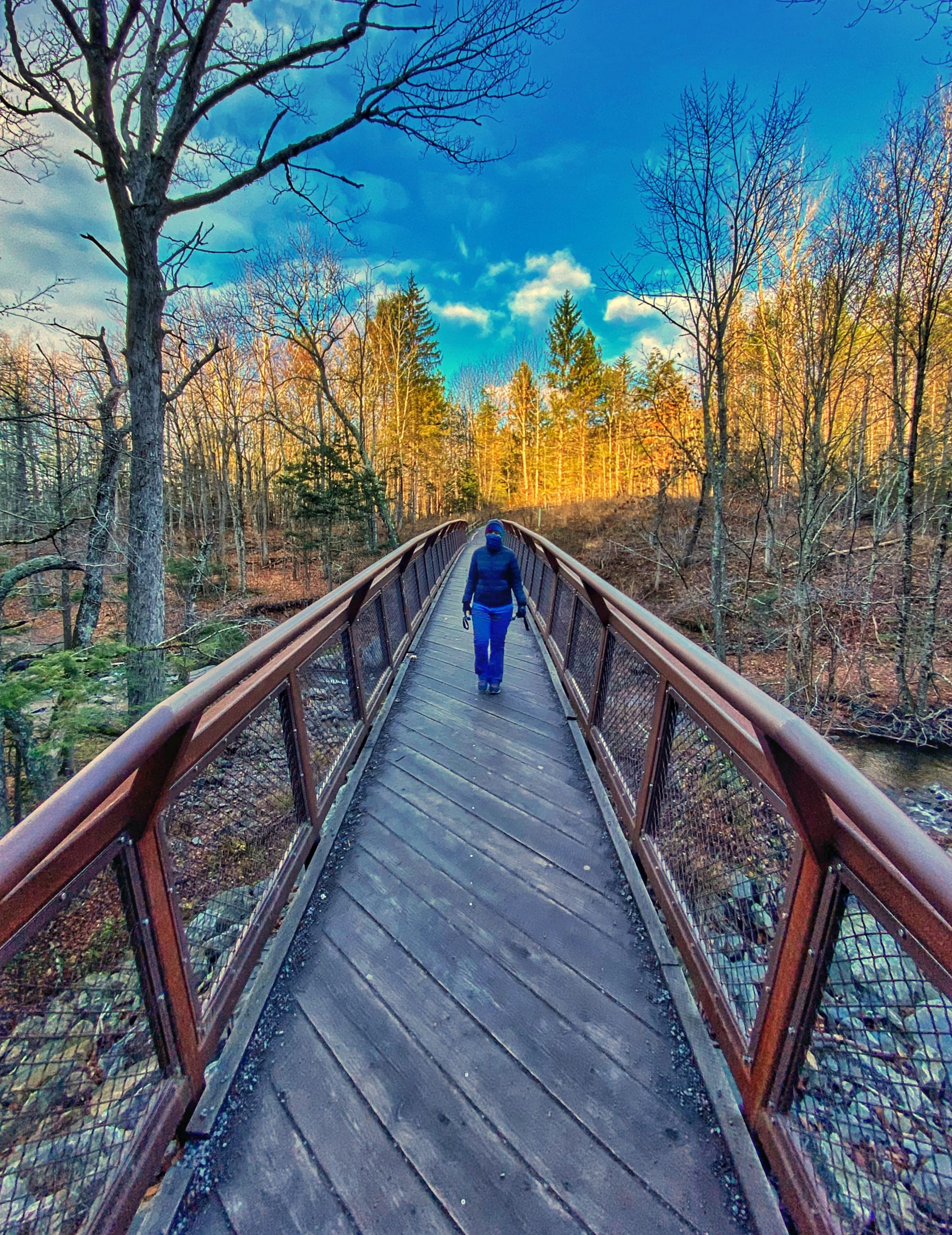
After you’ve absorbed the view, retrace your steps back to the junction and turn right. You’ll quickly cross Spruce Creek on a bridge.
After the bridge, you’ll reach a junction with the Escarpment Trail.
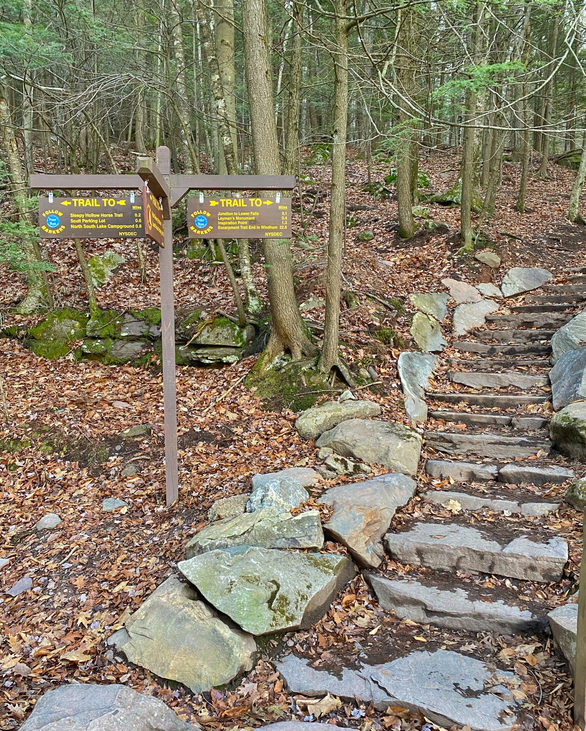
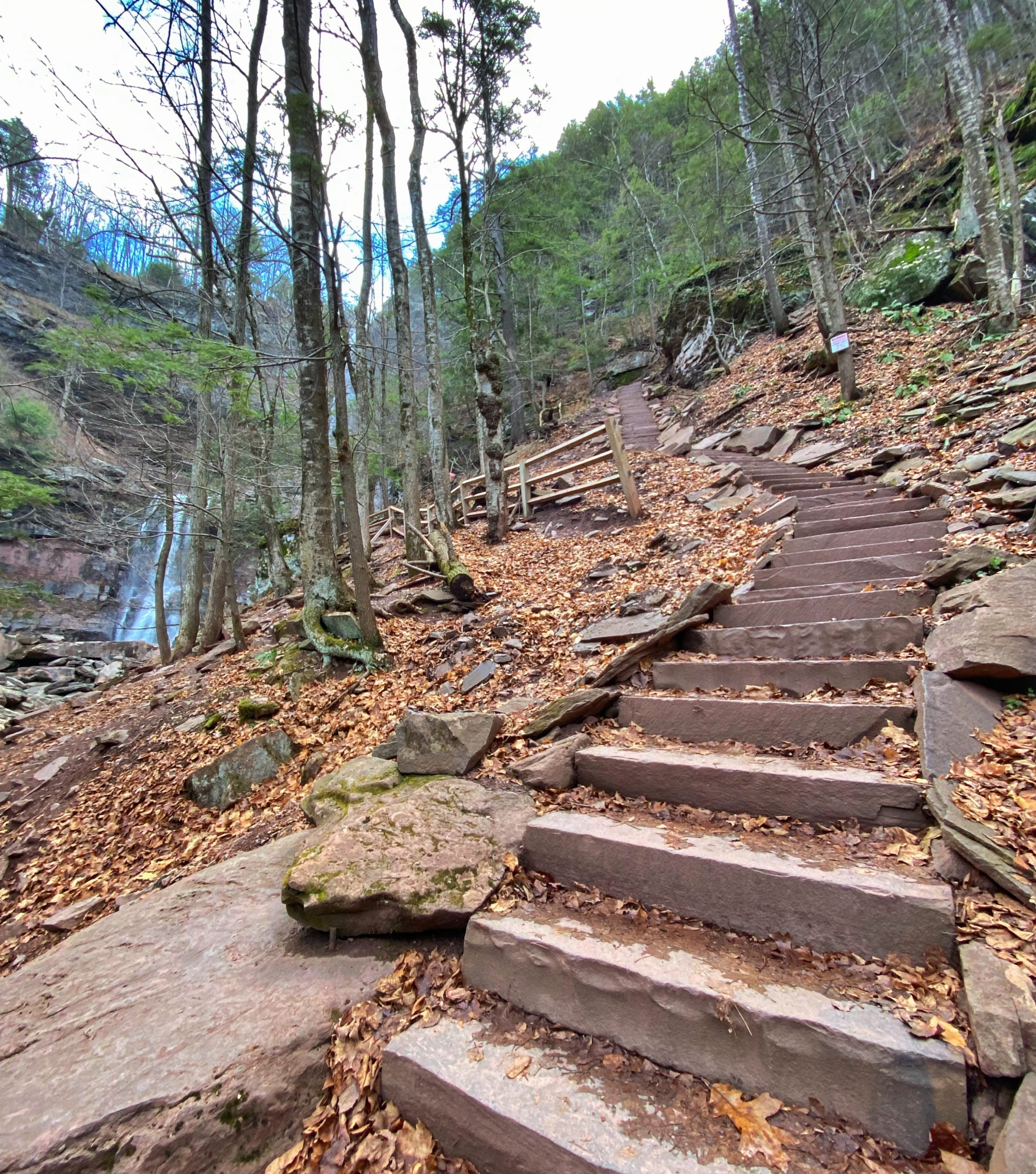
Make a right and follow the recently-built stone stairs up towards the junction to the Lower Falls, 0.1 miles ahead.

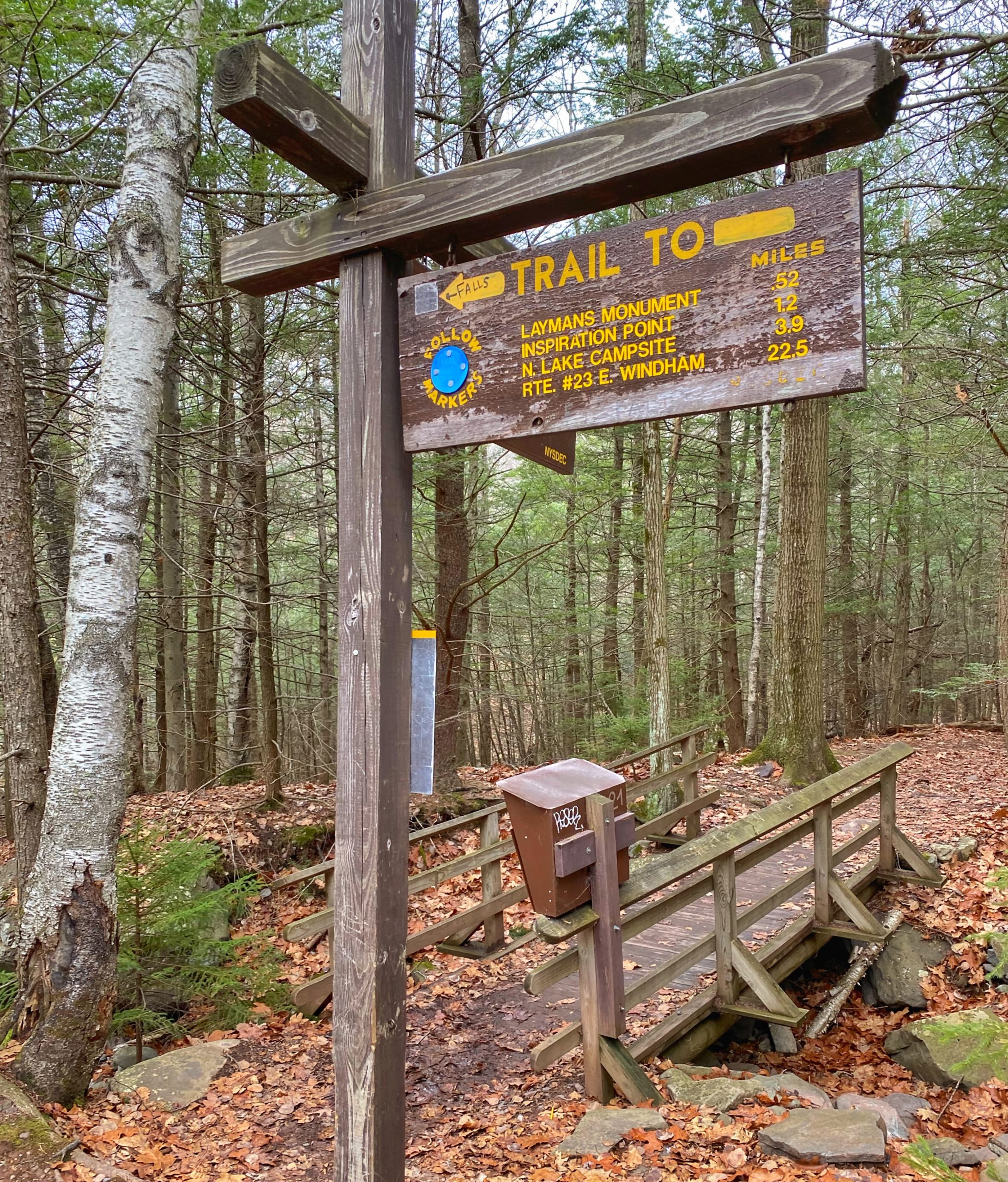
At the junction, make a right toward the Lower Falls. The trail descends more steeply and – according to a sign – includes 181 steps on the way down.
-

Trail to Lower Falls -
Trail to Lower Falls -

Trail to Lower Falls
As you head down, you’ll reach a junction to the middle pool of the Kaaterskill Falls. Stay to the left for now and continue to the bottom of the stairs.
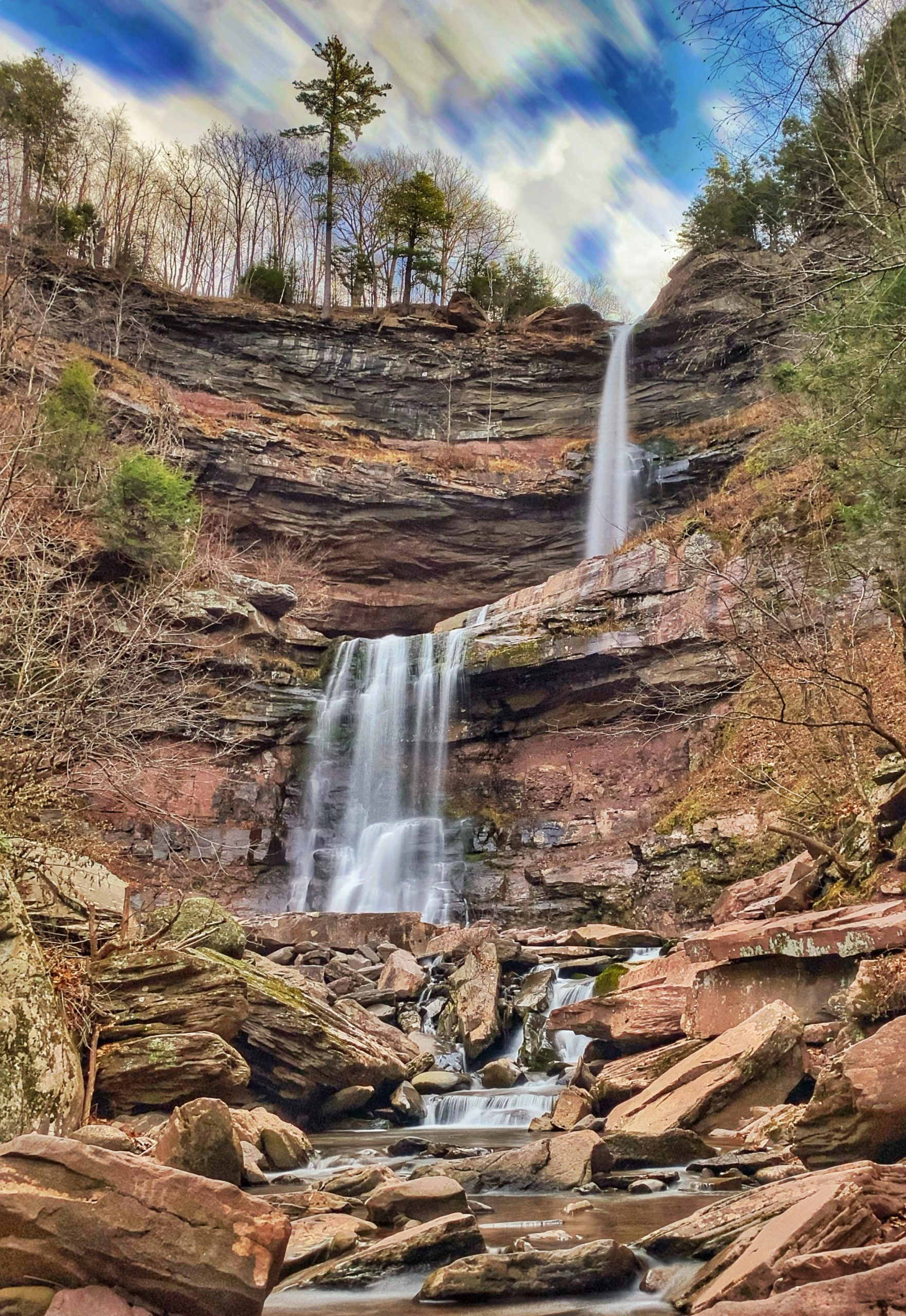
Enjoy the view. Then head back up the staircase and now make a left at the junction to head to the middle pool of the falls.
A short distance later, you’ll reach the middle pool with an up-close view of the upper falls.

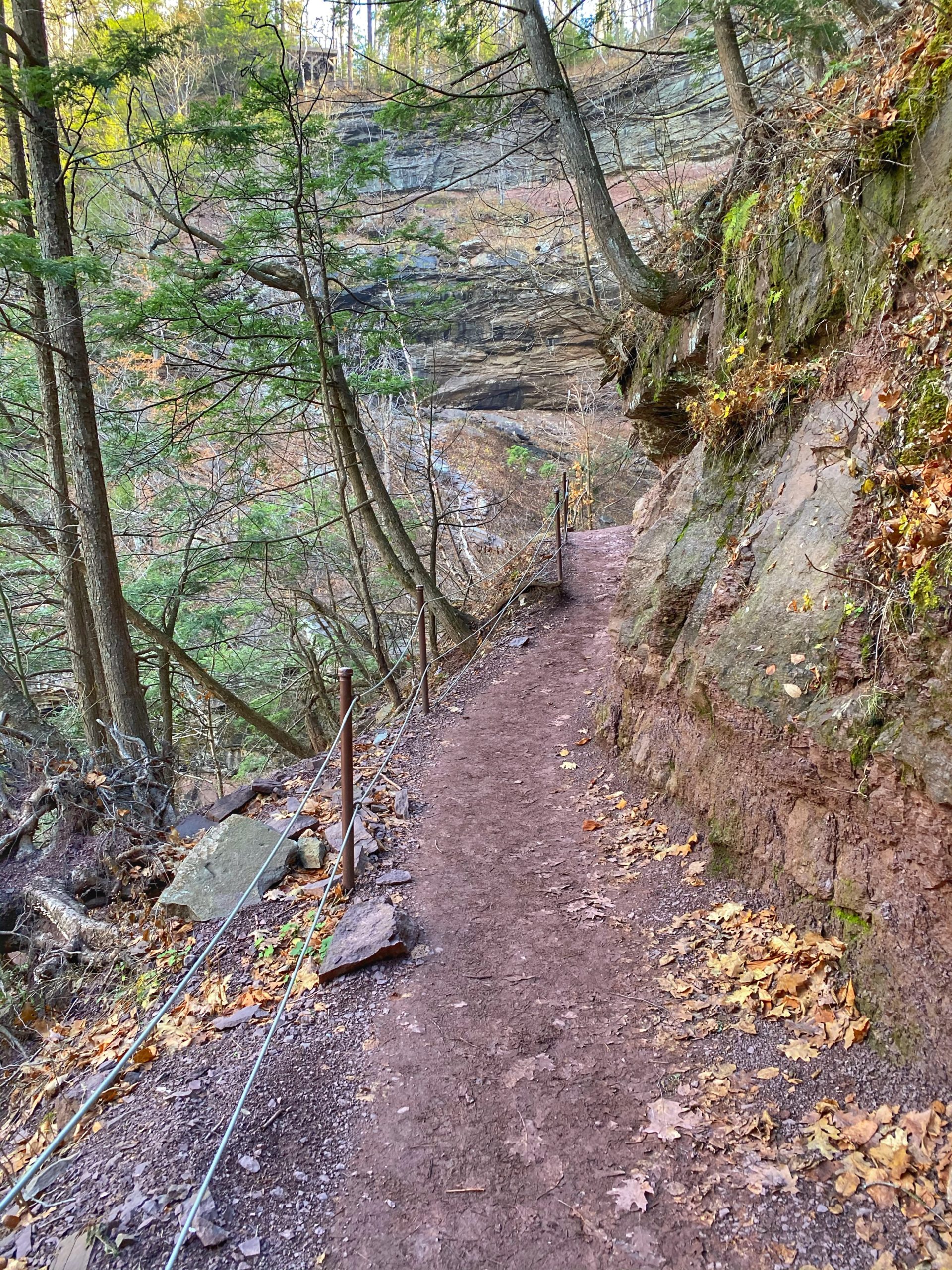
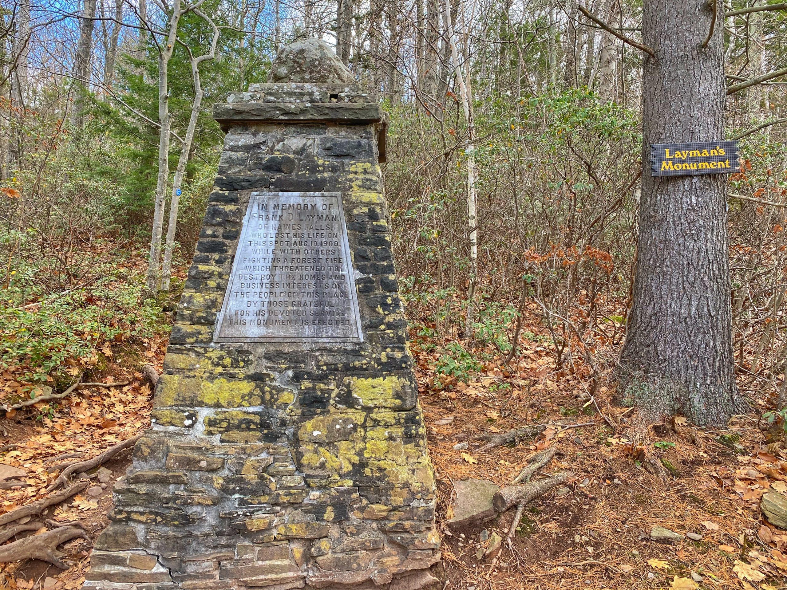
When you’re done taking in the view, retrace your steps back past the first junction you took to go down to the bottom of the falls and continue uphill all the way towards the junction with the Escarpment Trail, about 0.3 miles. Make a right onto the Escarpment Trail. The trail now descends, and after 0.4 miles the trail makes a sharp left turn at the Layman’s Monument.
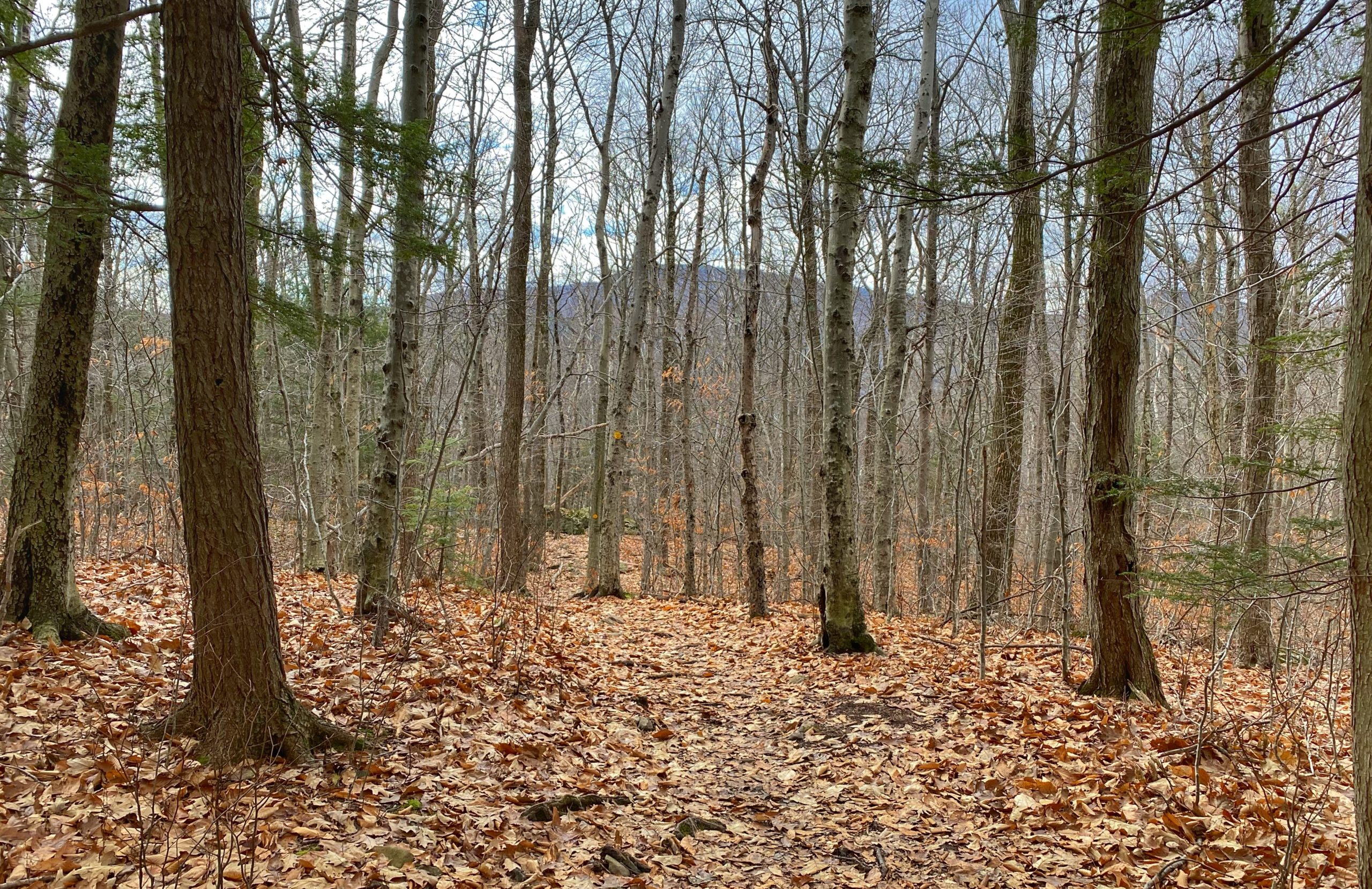
The trail now follows the edge of a steep ridge and begins to climb.
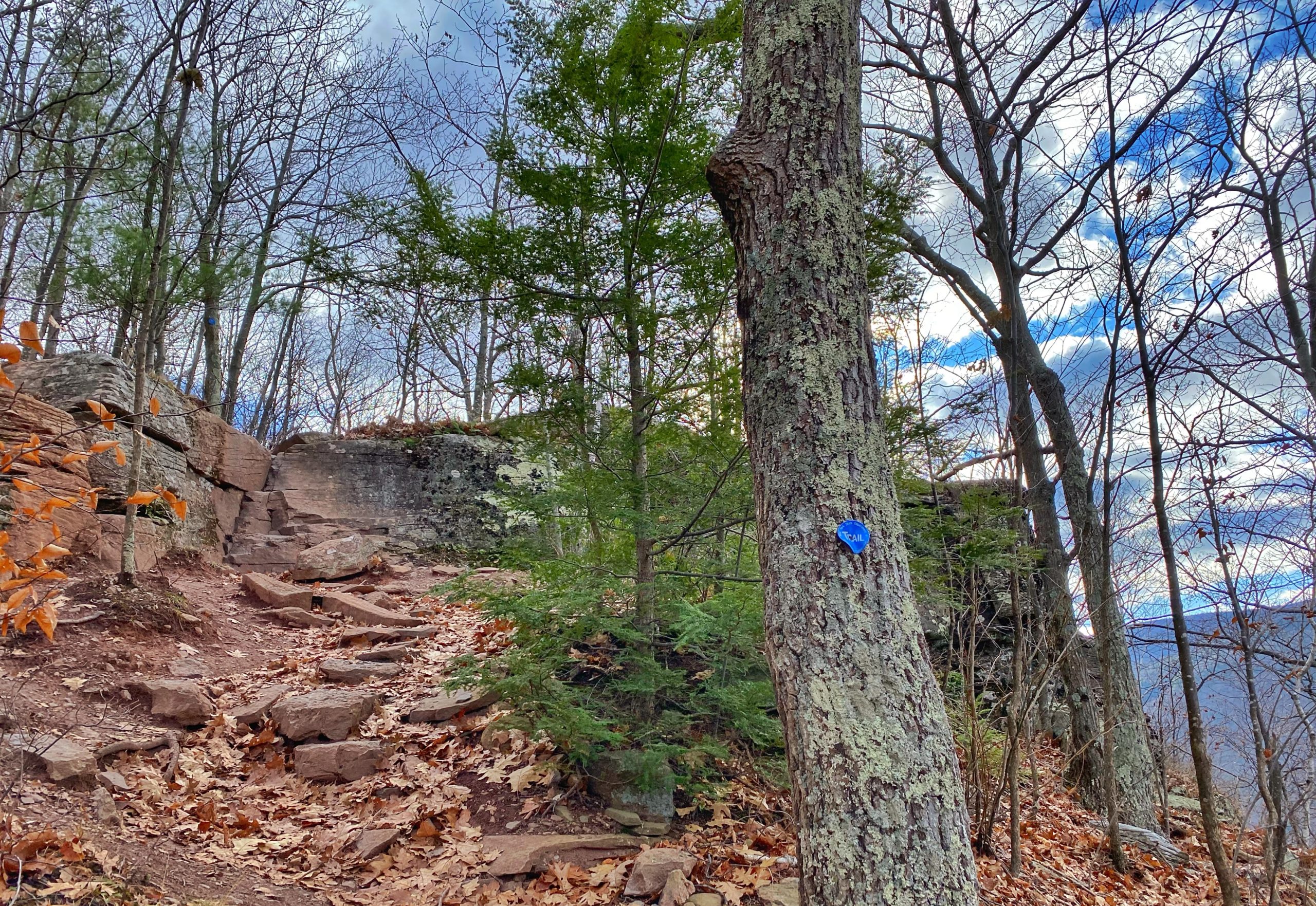
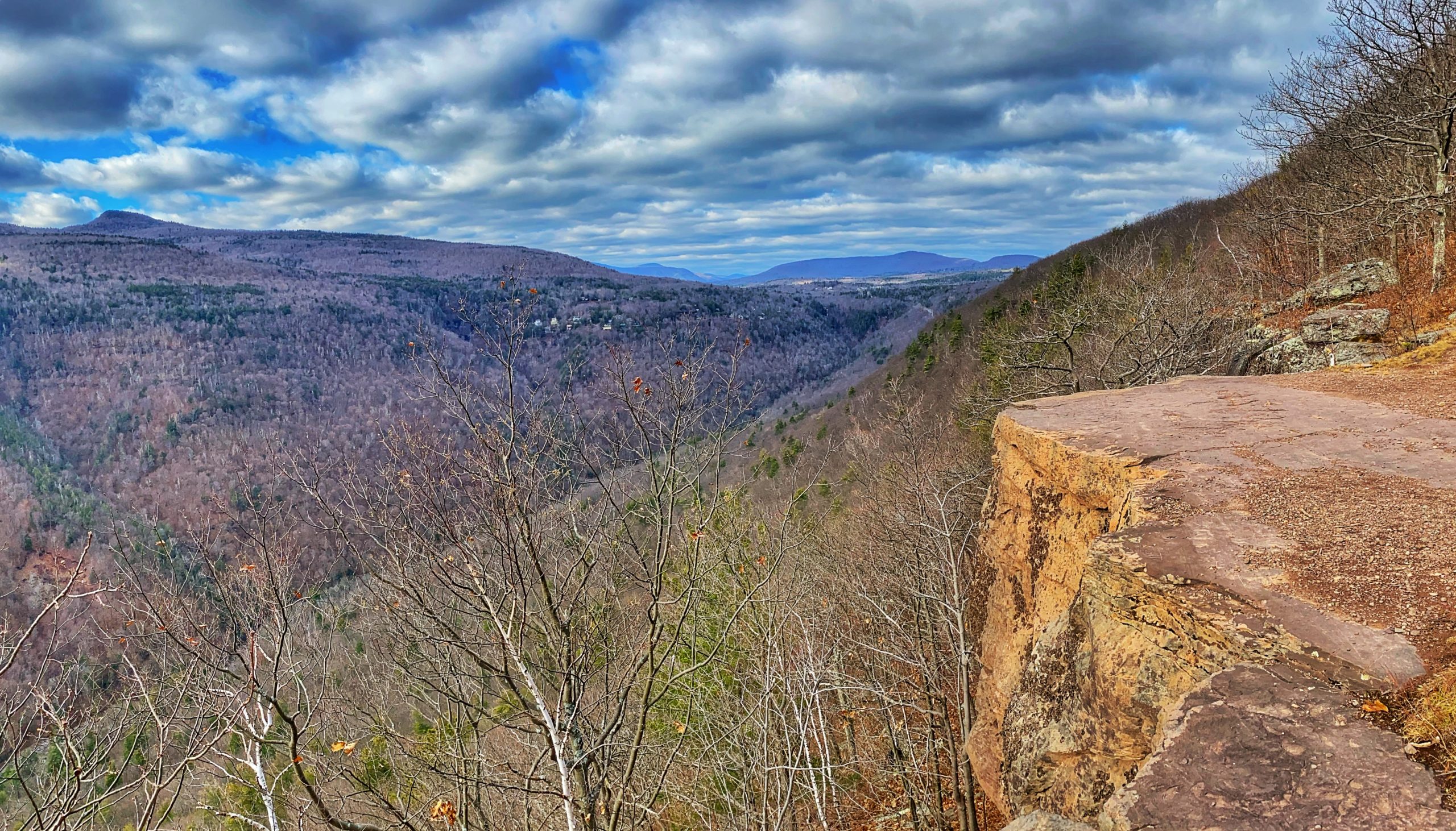
Soon, you’ll reach the first of multiple back-to-back viewpoints along the next 3/4 mile of the trail.
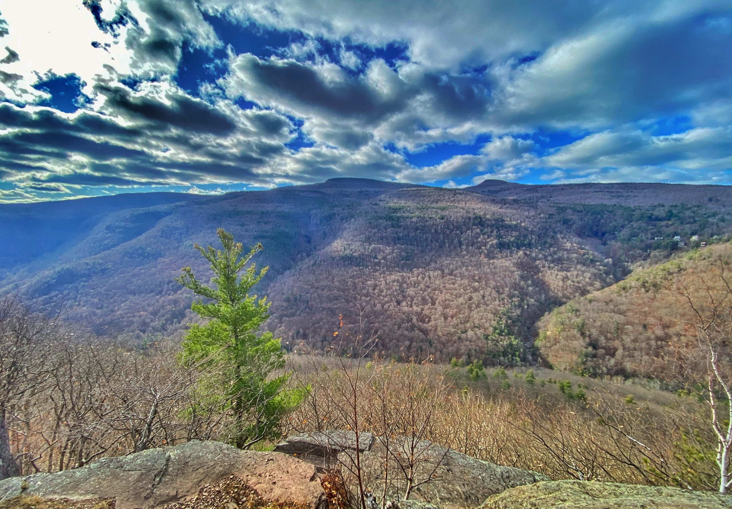
Kaaterskill High Peak is prominently visible slightly to the right of center. You’ll pass several additional similar viewpoints as the trail continues to climb.

Eventually you’ll reach the junction with the trail we’ll take back to complete the loop, but for now, we’ll continue straight for another quarter mile to Inspiration Point.
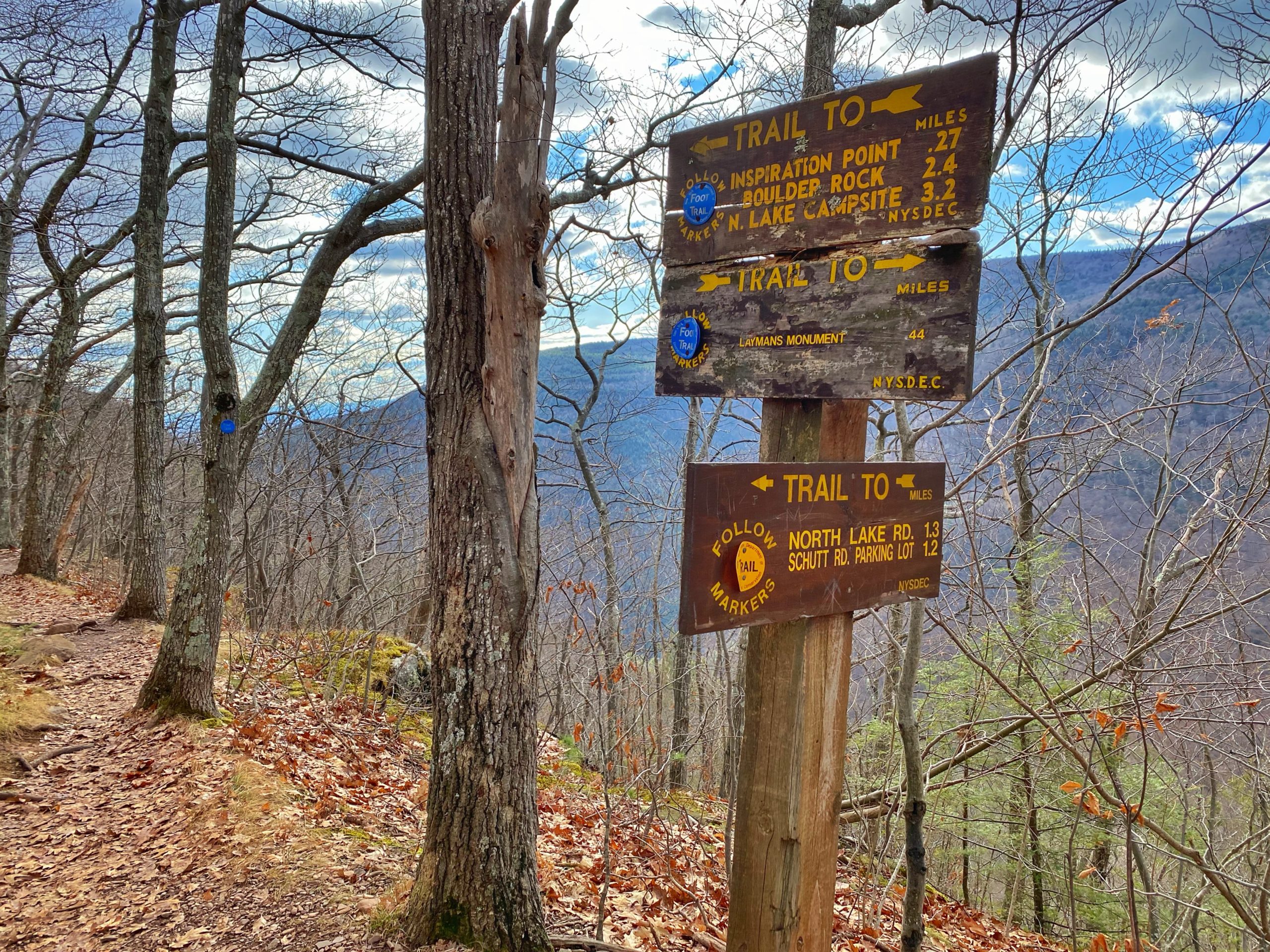
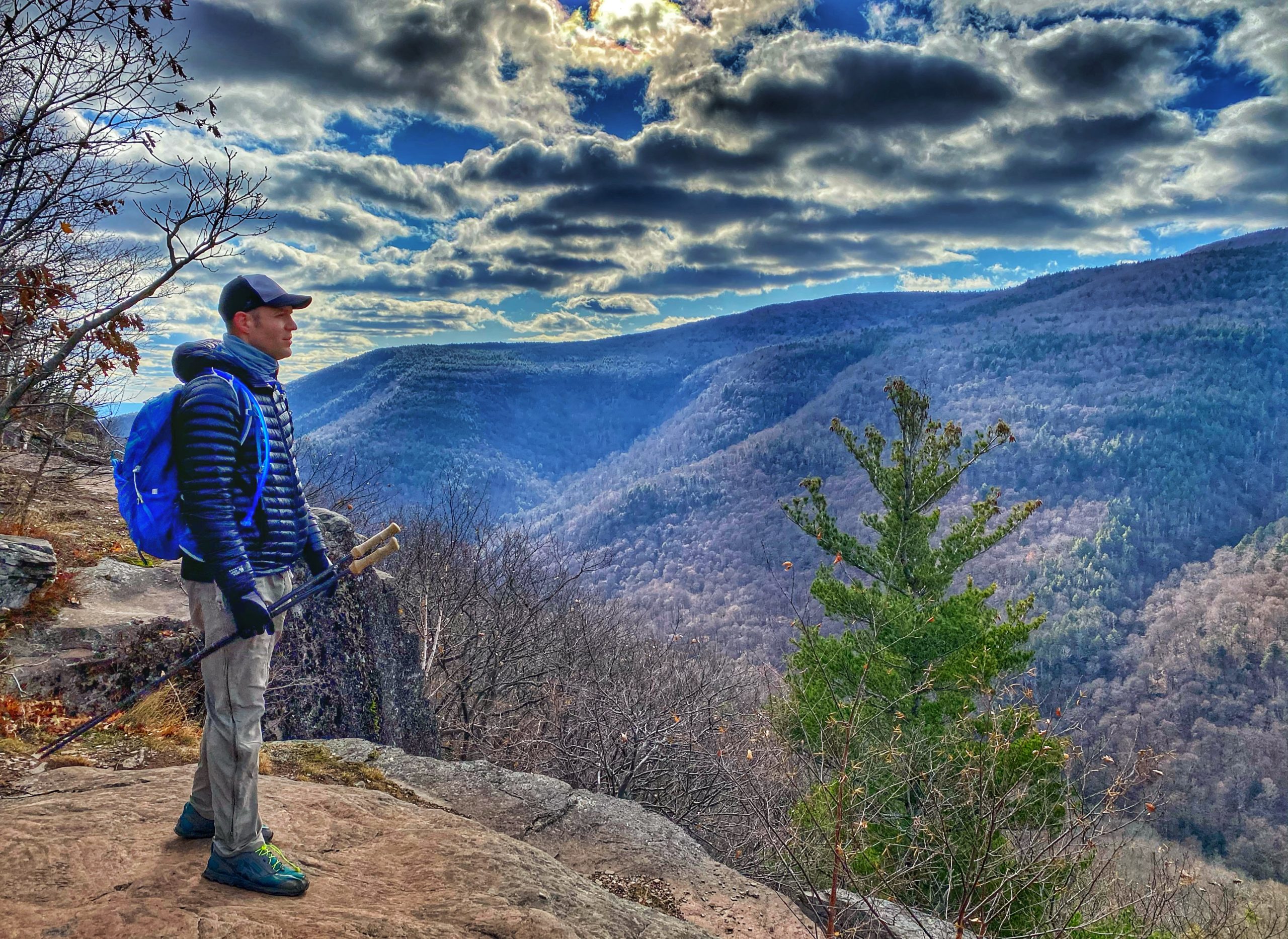
Along the way, you’ll pass a few more viewpoints until you reach Inspiration Point, an large exposed ledge offering a panoramic vista of Kaaterskill Clove.

Now, turn around and retrace your steps back to the junction a quarter mile back. Make a right and follow the yellow-blazed footpath uphill through the woods for a few hundred feet
At the next junction, turn left and follow the yellow-blazed horse trail for a quarter mile.
At the next junction, turn left onto the red-blazed Schutt Road.
Follow the trail for 0.25 miles until the next junction.
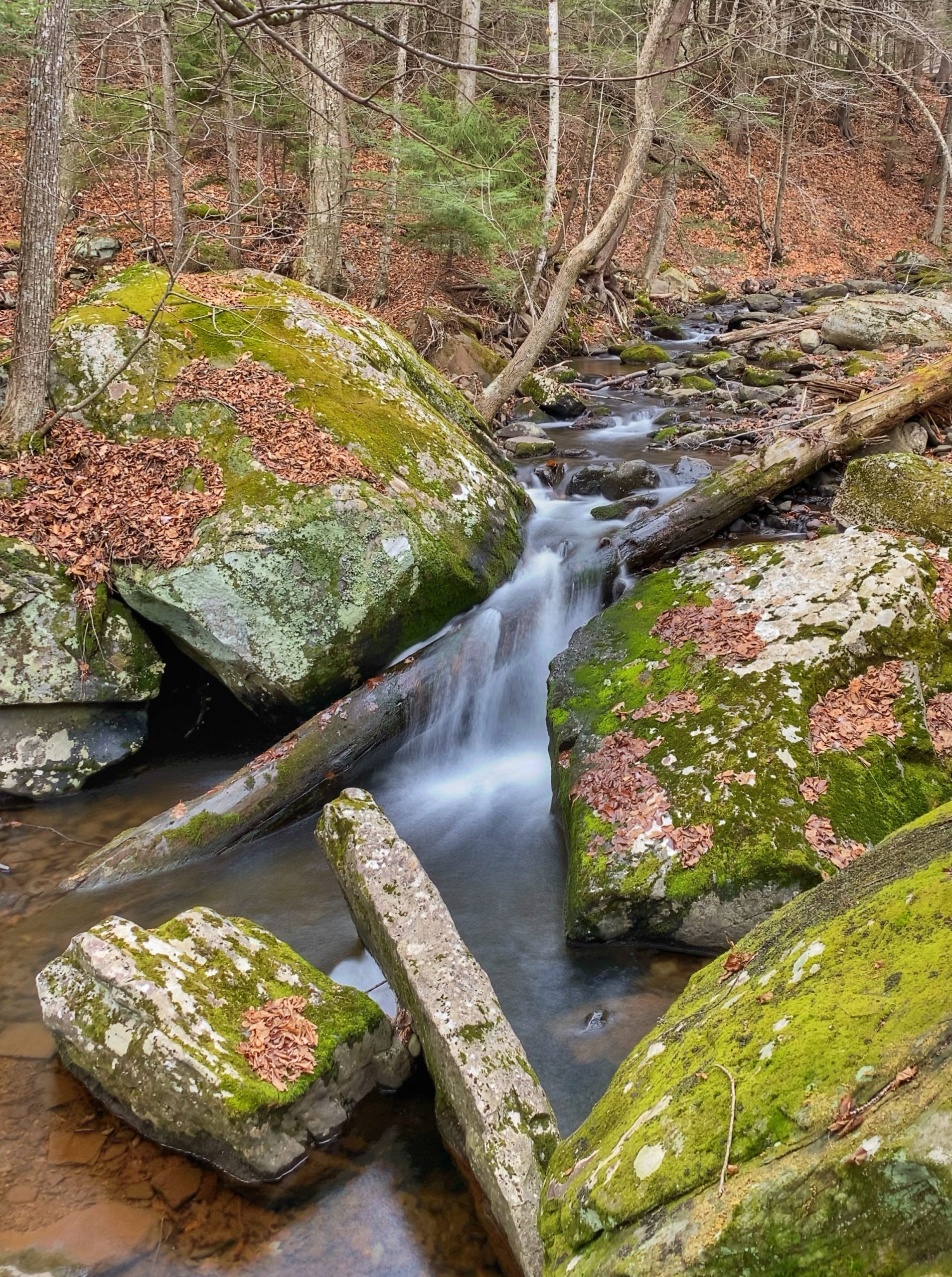
Now make a left to follow the blue blazes. As you follow the trail for the next 0.15 miles, you’ll skirt Spruce Creek on your right with beautiful little cascades along the way.
You’ll cross a small wooden footbridge over a drainage and then reach the junction with the Escarpment Trail on your left with steps heading uphill – which we followed earlier in the hike. We’ll stay to the right and again cross the bridge over Spruce Creek. At the next junction, turn right and follow the trail for 0.3 miles to return towards the trailhead.


