Overview
The Huckleberry Point Trail is one of the easier hikes in the Catskills to a dramatic viewpoint from a rocky outcrop of Platte Clove, Devil’s Path, and the Hudson Valley.
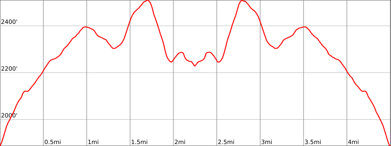
Hike Length: 4.8 miles
Elevation gain: +1,200 feet (other trail guides says the elevation gain is +644 feet, but Caltopo puts it at 1,200′)
Location: Kaaterskill Wild Forest, Catskill Park, Elka Park, NY
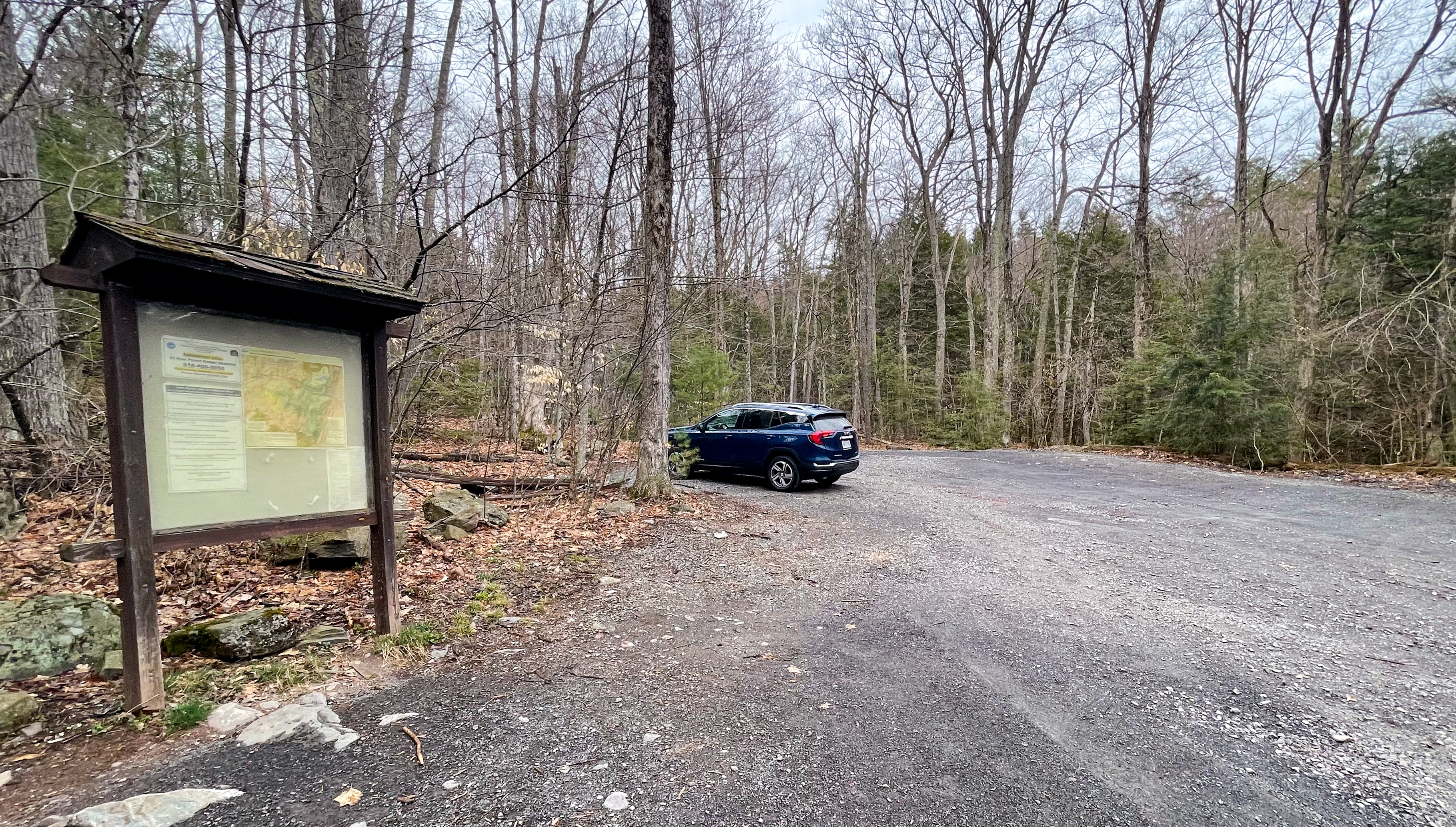
Huckleberry Point Parking
The trailhead is accessed from the Steenburg Road Parking Area off of Platte Clove Road.
GPS address: 2425 Platte Clove Rd, Elka Park, NY 12427 (42.133607°N, 74.082241°W
Huckleberry Point Trail Maps
- Catskill Combined Trail Map – NY-NJ Trail Conference (Avenza)
- Catskill Trail Map – NY-NJ Trail Conference (print)
- Kaaterskill Wild Forest (free)

Huckleberry Point Trail Description
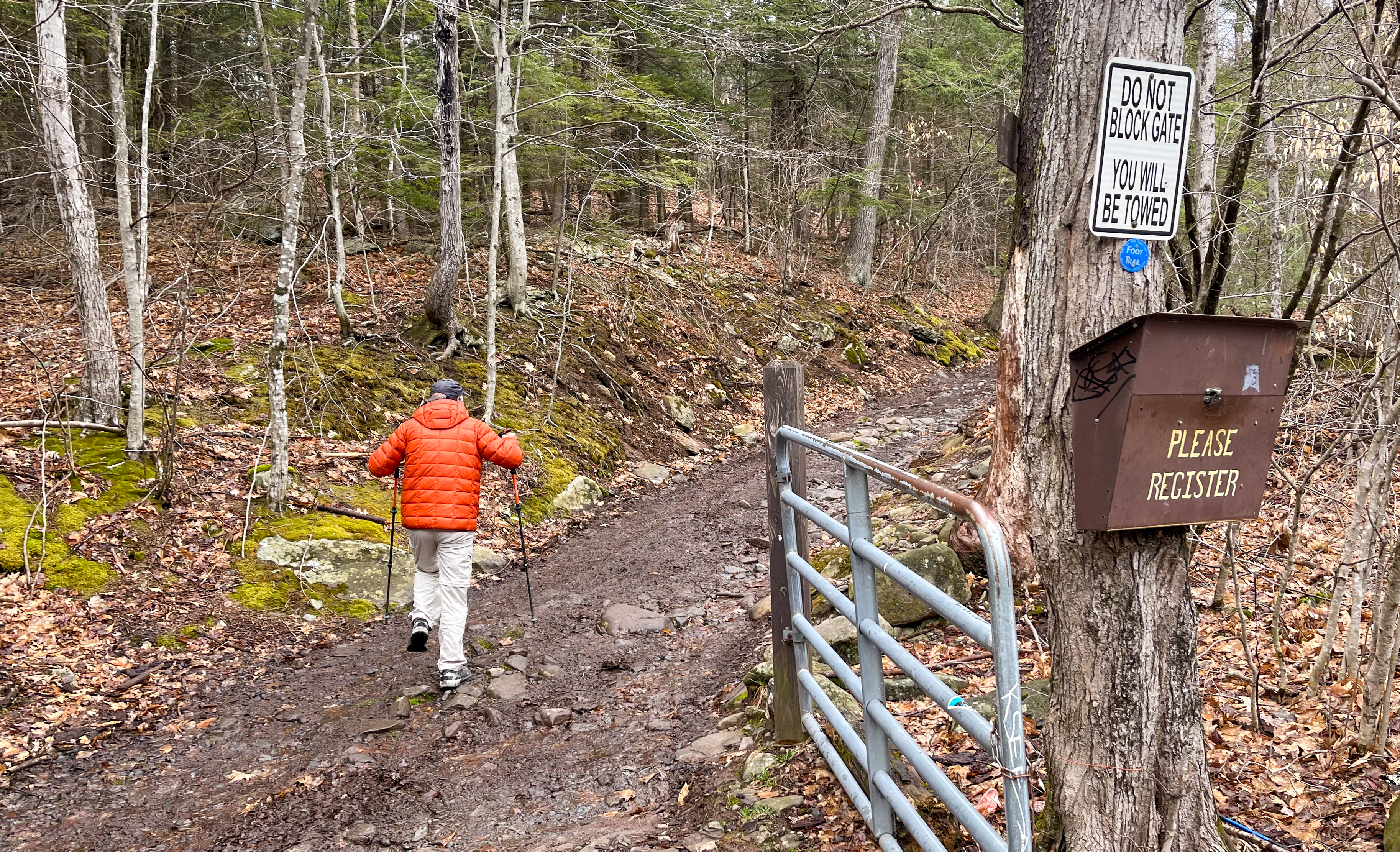
From the parking area, look for the gate and trail register. Head north following the blue markers up the Long Path along an eroded dirt road which also serves as a snowmobile trail.
This part of the trail is called Steenberg Road on some maps and it still seems to be in active use by some private property owners. It’s not in great condition and it can be quite wet and muddy.
After about a mile, you’ll reach the first junction where the road splits. There are official and unofficial signs making sure you stay right at this fork. To the left, the road leads to private homes, and those property owners very much don’t want you to miss the turn.
A short distance later you’ll reach another junction.
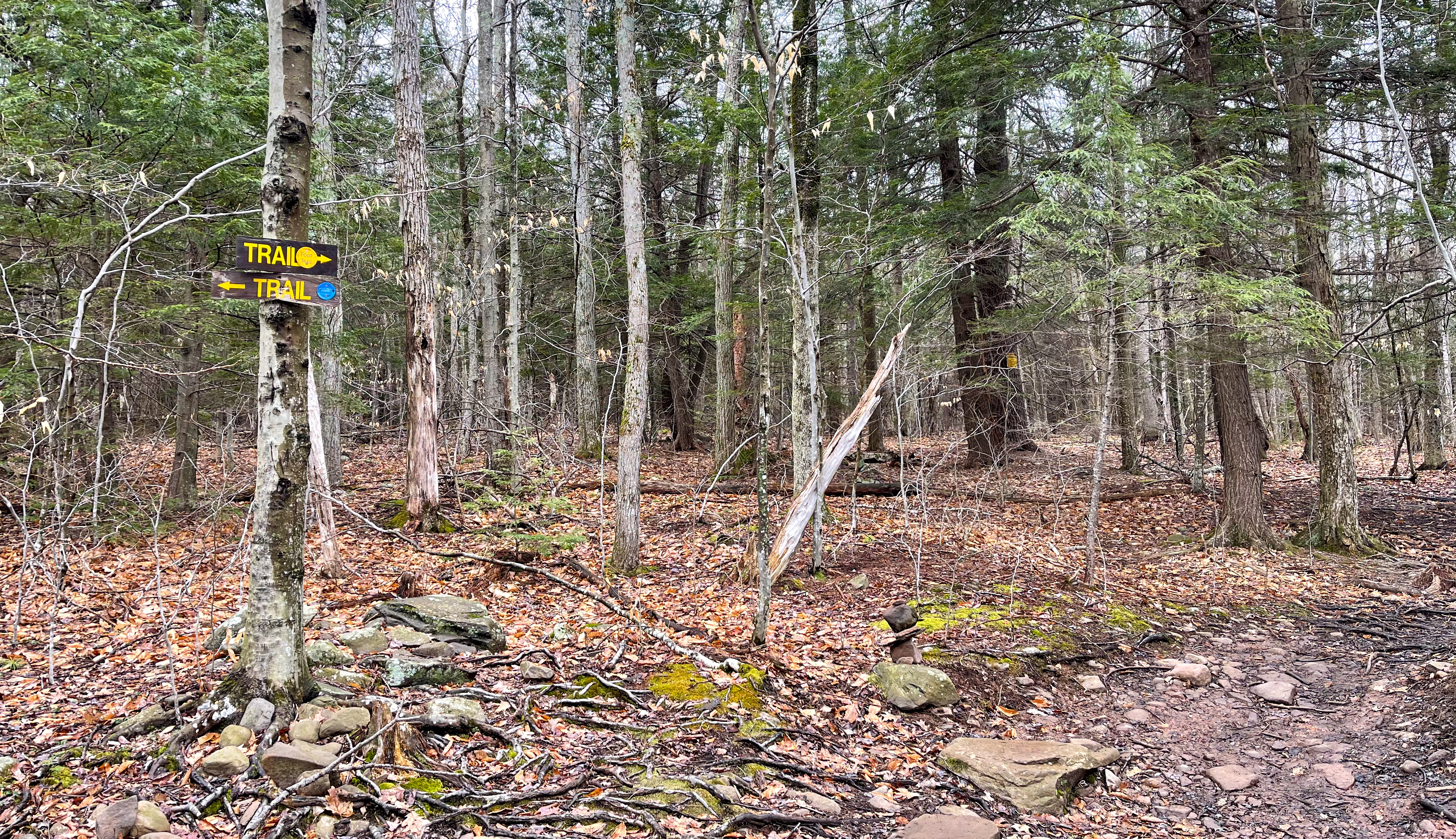
Here, the trail splits with the Long Path (blue) heading left (north) and the Huckleberry Point Trail (yellow) heading right (east). Go right (east) to follow the yellow-blazed Huckleberry Point Trail. Here the trail becomes a footpath.
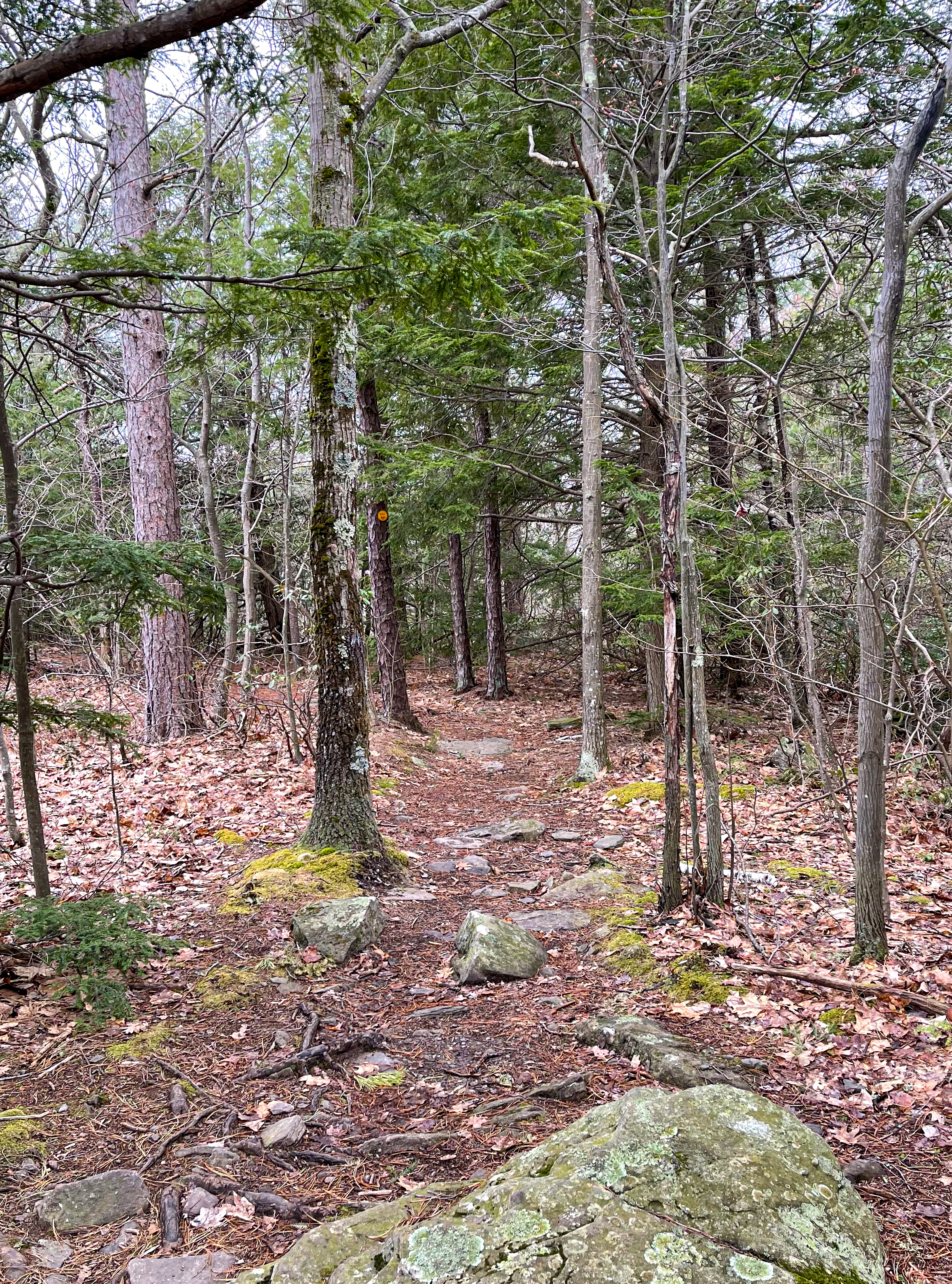
About a third of a mile later you’ll reach a stream, Mossy Brook. When I hiked the trail, it was fairly easy to cross on the rocks with the help of trekking poles
According to Mountain Hiking, “after rain it becomes a major mountain drainage, and is not fordable.”

From the stream crossing most of the trail is very nice, with the exception of a wet area. It’s an additional mile from Mossy Brook to Huckleberry Point, with the trail climbing over a knob and then descending steeply about 200 feet before reaching a lovely viewpoint.
Huckleberry Point
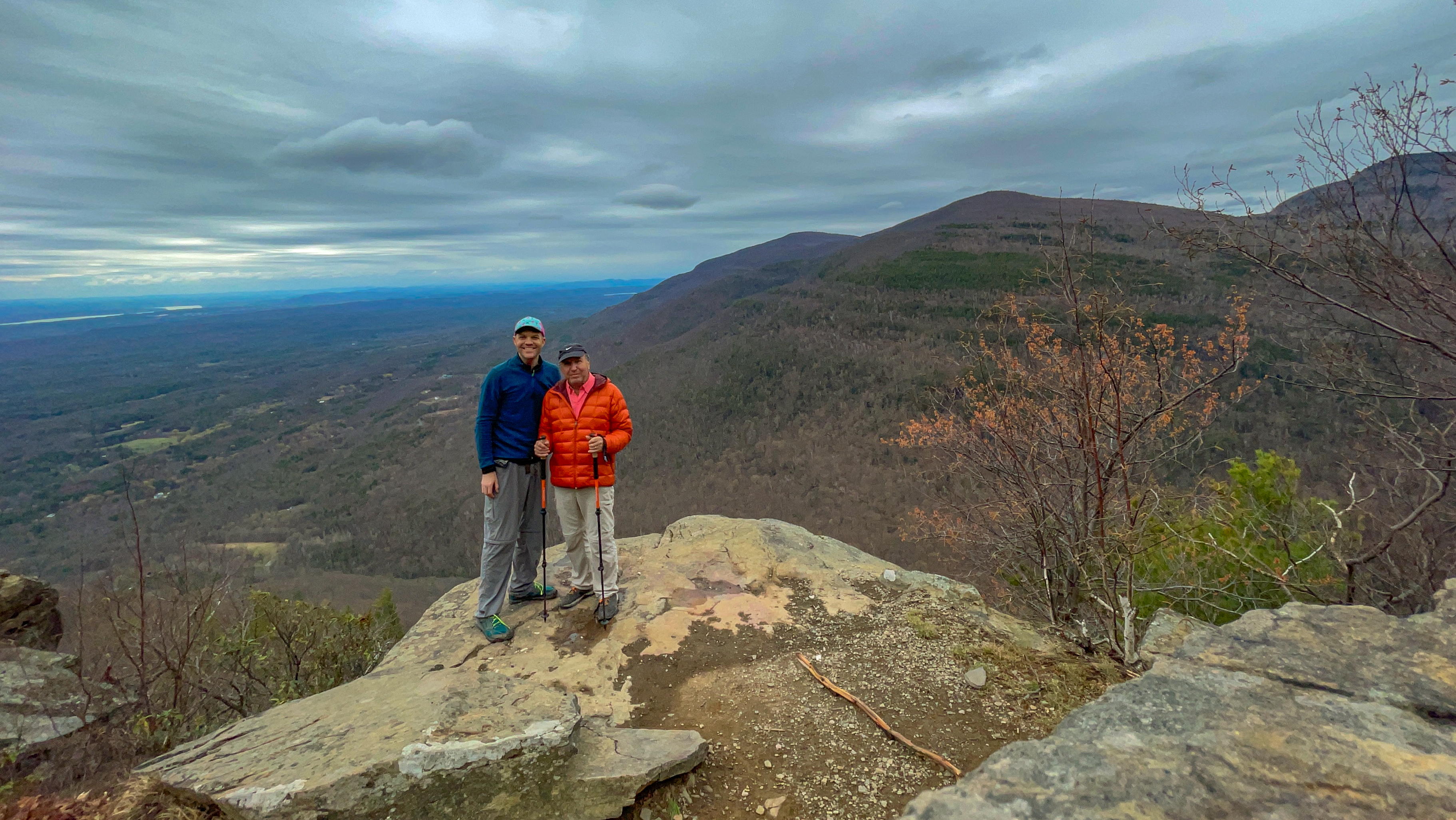
Congratulations! You made it to Huckleberry Point.
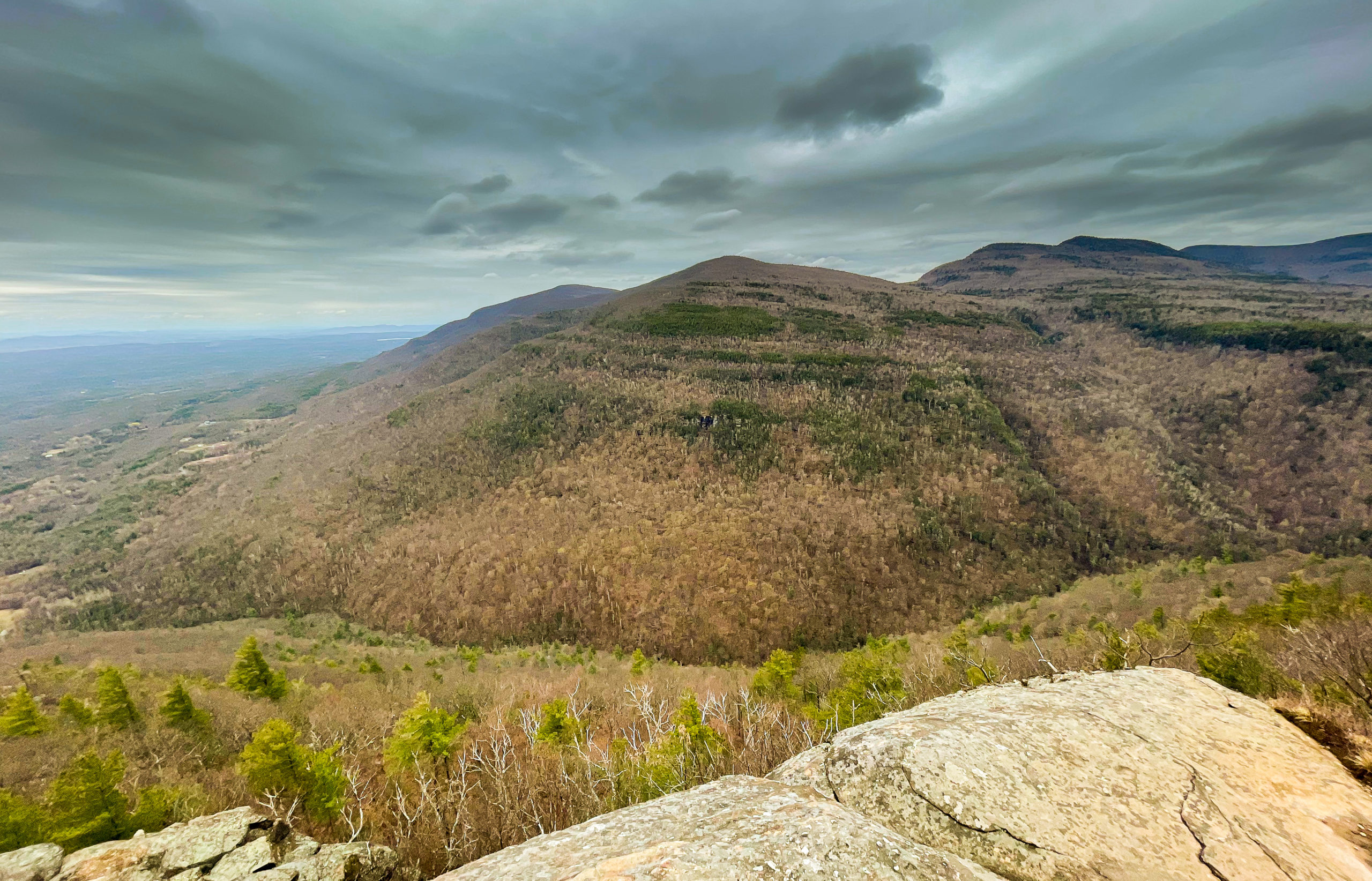
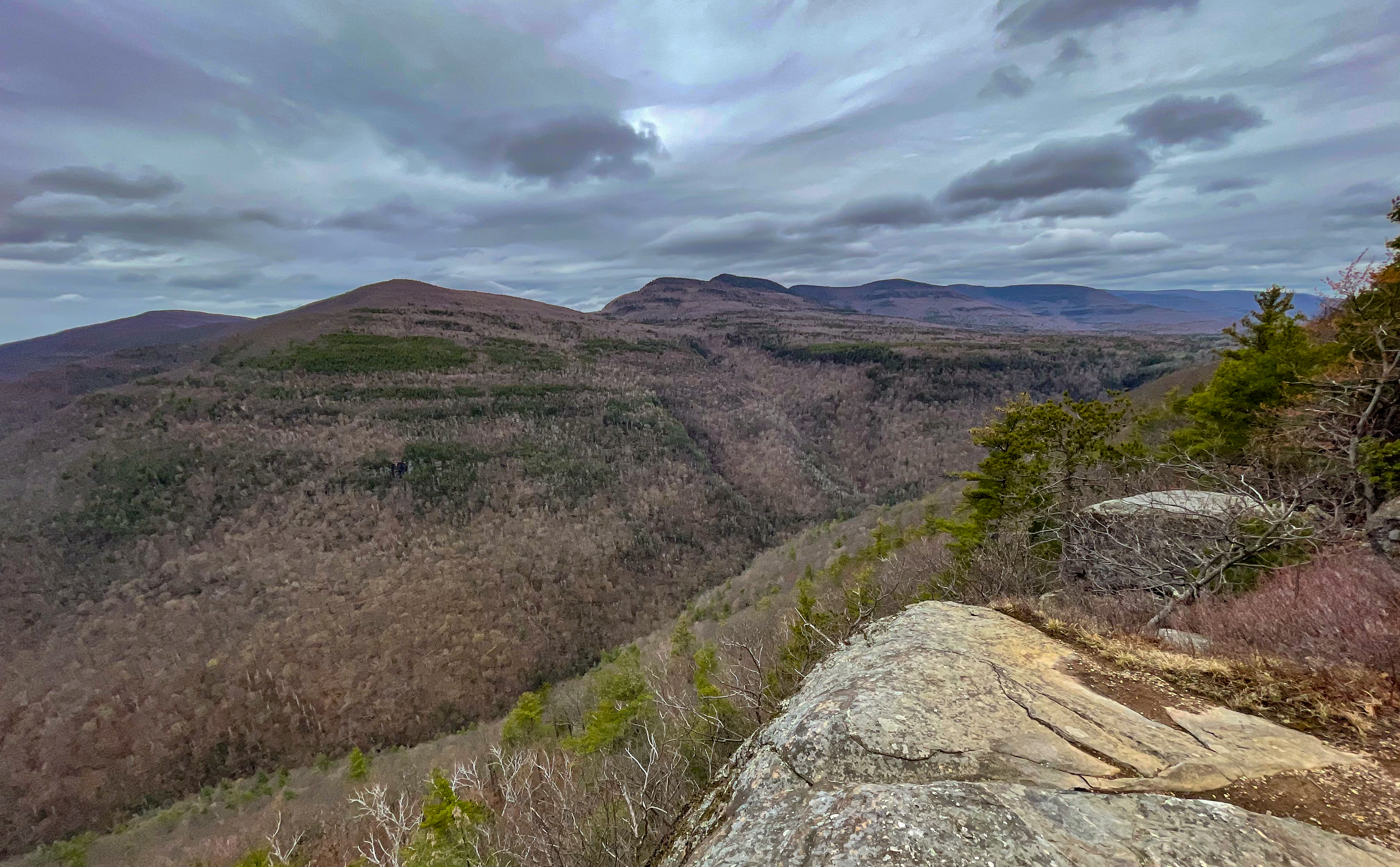
Below you is Platte Clove and ahead to the southwest is Plattekill Mountain, with Overlook Mountain behind it (and slightly left) and Indian Mountain and Twin Mountains to the right.
This is a great spot to take a break and enjoy the view. When you’re done, retrace your steps uphill and back to the parking lot.

