Overview
A relatively easy hike through species-rich Johnsonburg Swamp Preserve with interesting limestone rock formations and an impressive scenic viewpoint at High Rocks over Mud Pond.
Length: 2.0 miles (out-and-back to High Rocks overlook). Extra 0.6 miles if included Glenn Weiss Loop.
Elevation gain: +180 feet
Location: Johnsonburg Swamp Preserve, Frelinghuysen, NJ
Johnsonburg Swamp Preserve Parking
The preserve and parking lot do not show up in all online maps, nor is there an easy direct address for the site to enter into GPS systems. This is the Google maps link showing the location of the parking lot. Old Stage Road continues as a gravel road to the parking lot, beyond what is shown on Google maps. Once you reach Old Stage Road, it’s easy to find since you’ll see signs directing you to the parking area.
Driving directions:
- Take Route 80 West to Exit 19/Hackettstown-Andover. Stay in right lane until the end of exit ramp. At the end of ramp, cross over Route 517 to Route 667 North.
- After 1/4 mile, turn left onto Route 612/Johnsonburg Road and continue approximately 5 miles to its intersection with Route 519 (stop sign). At intersection, turn right onto Route 519/Johnsonburg Bypass Road.
- Continue straight onto Ramsey Road/Route 661. In less than 1 mile, make a right onto Old Stage Road.
- Follow Old Stage Road to end, which is fenced entrance to Johnsonburg Swamp Preserve. Proceed straight to parking lot.
Johnsonburg Swamp Preserve Trail Map
The trails in Johnsonburg Swamp Preserve do not appear on NY-NJ Trail Conference, National Geographic, Gaia GPS, Caltopo, or any other maps that I could find other than the official map provided by The Nature Conservancy.
About Johnsonburg Swamp Preserve
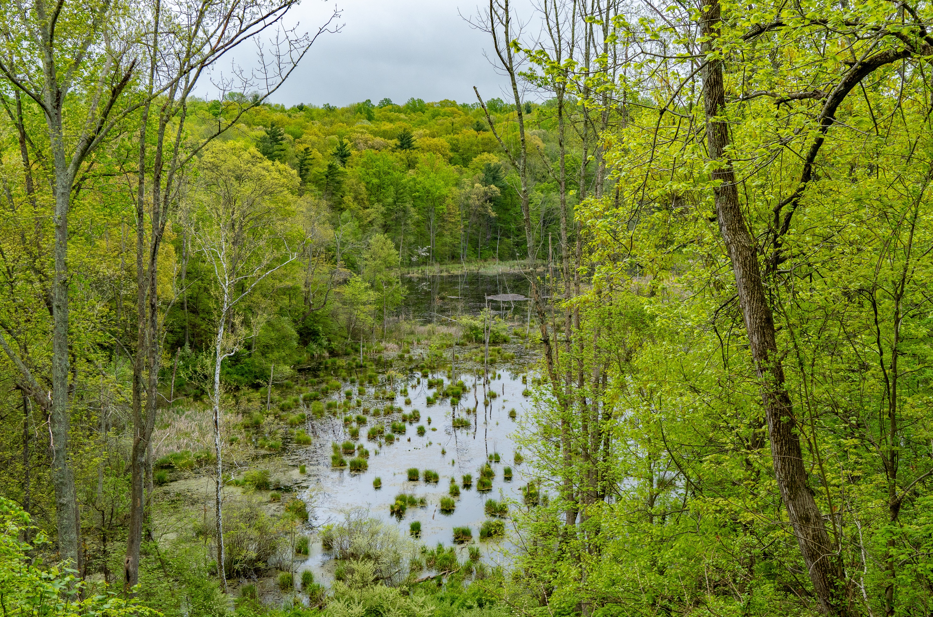
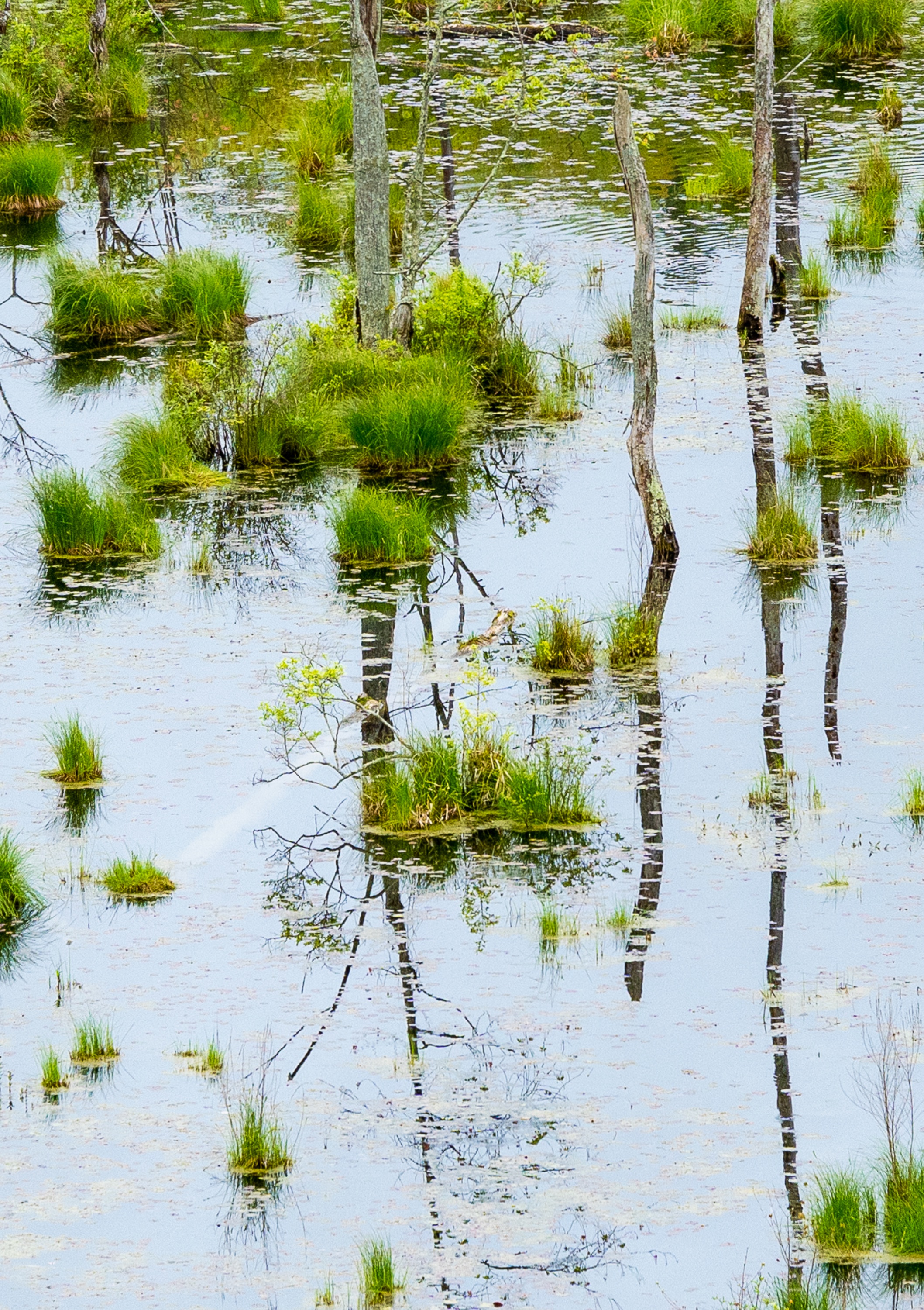
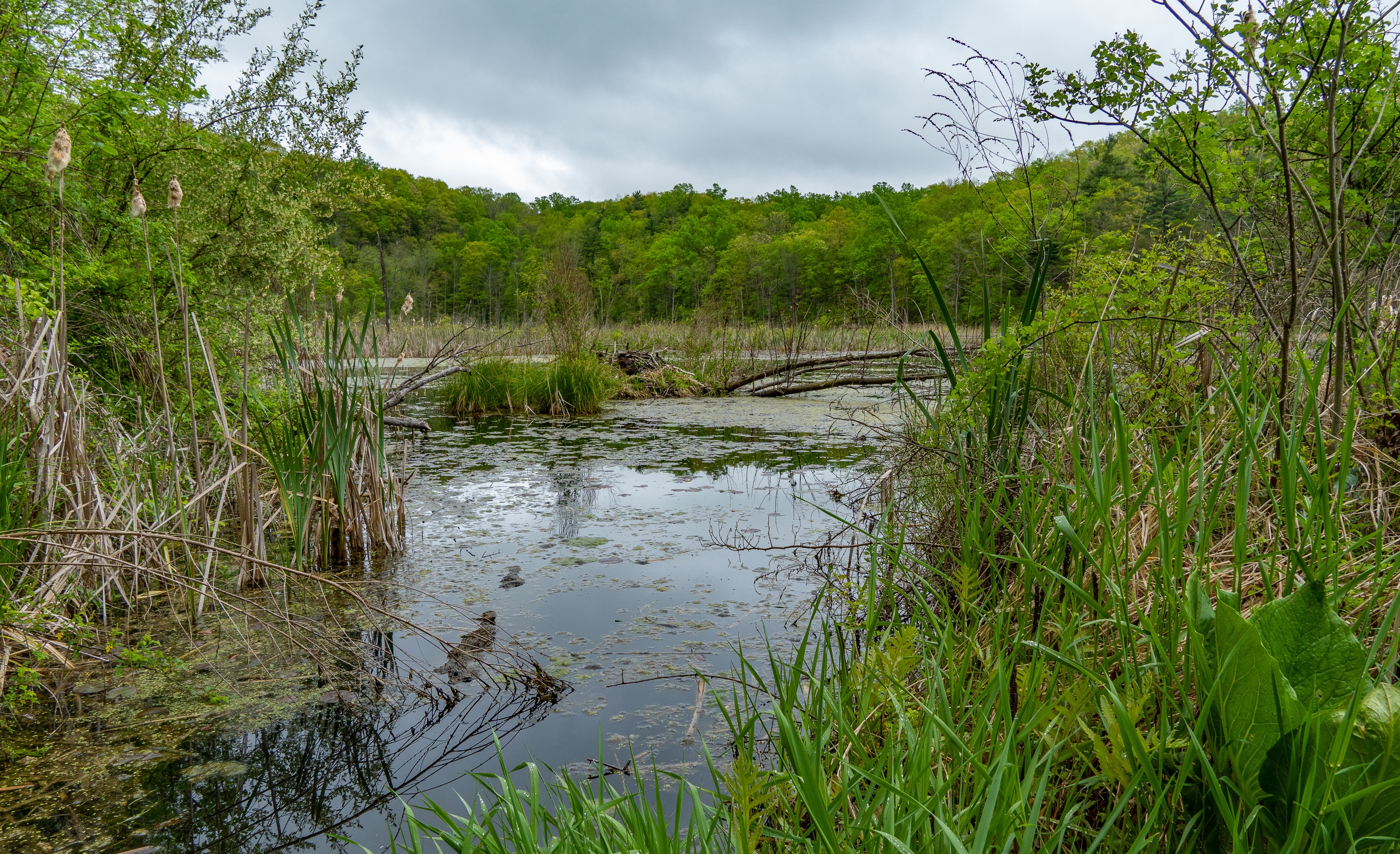
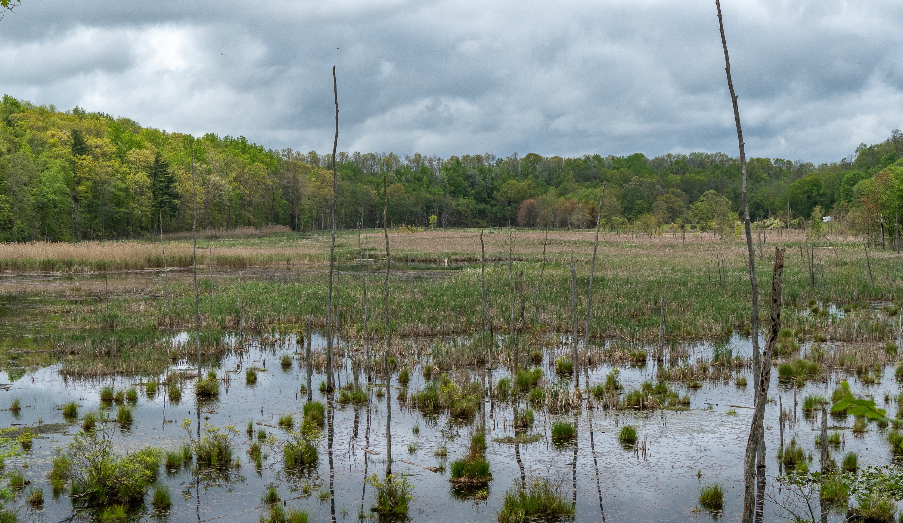
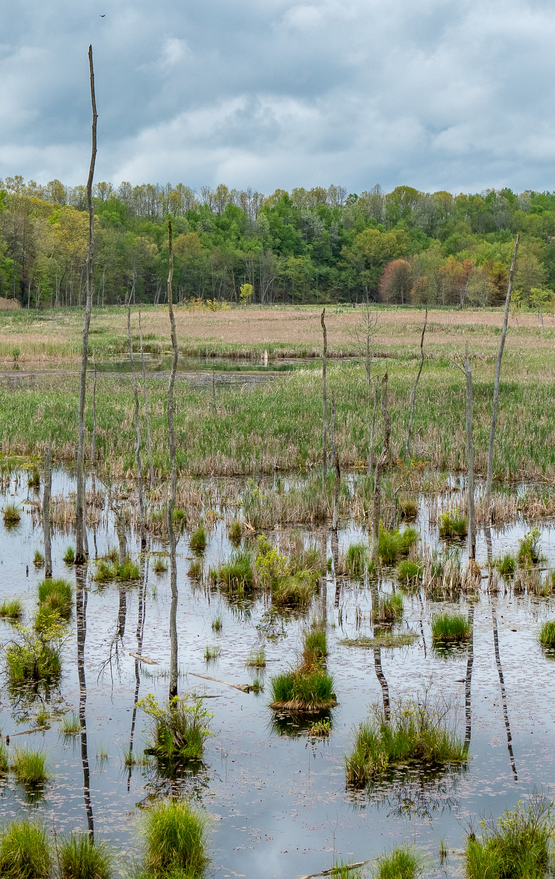
Johnsonburg Swamp Preserve is considered one of the most important and species-rich natural areas in New Jersey. Established in 1990, the 700+ acre preserve protects a spectacular limestone forest and the glacier-formed Mud Pond, a scenic limestone wetland that supports rare plants (including the carnivorous lesser bladderwort), waterfowl and iconic mammals like black bear, fox and state-endangered bobcats.
History & Geology
Johnsonburg’s water resources attracted Native Americans twelve thousand years ago and the Lenape tribe up to the late 1600s. There is evidence of Native Americans hunting mastodons, caribou, big cats and other mammals here during this time period.
Samuel Green, a surveyor, was one of the first Europeans to settle near Johnsonburg, which quickly became a busy town center and stagecoach stop. For the next 200 years, the region was known for its dairy farming operations. The area is now a bedroom-community suburb, but remnants of lime kilns, spring houses, dwellings and other structures from previous eras are evident when hiking the trails today.
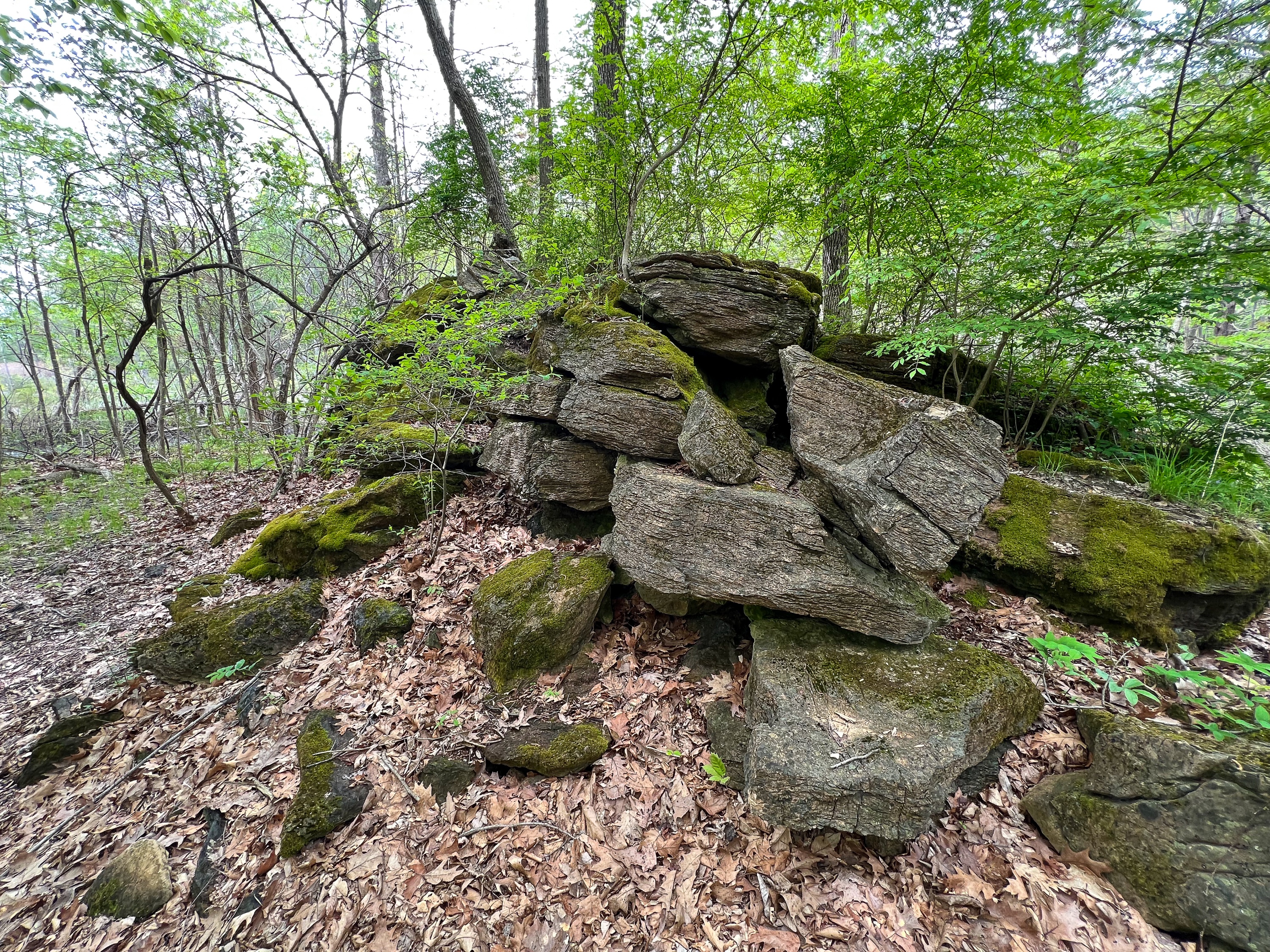
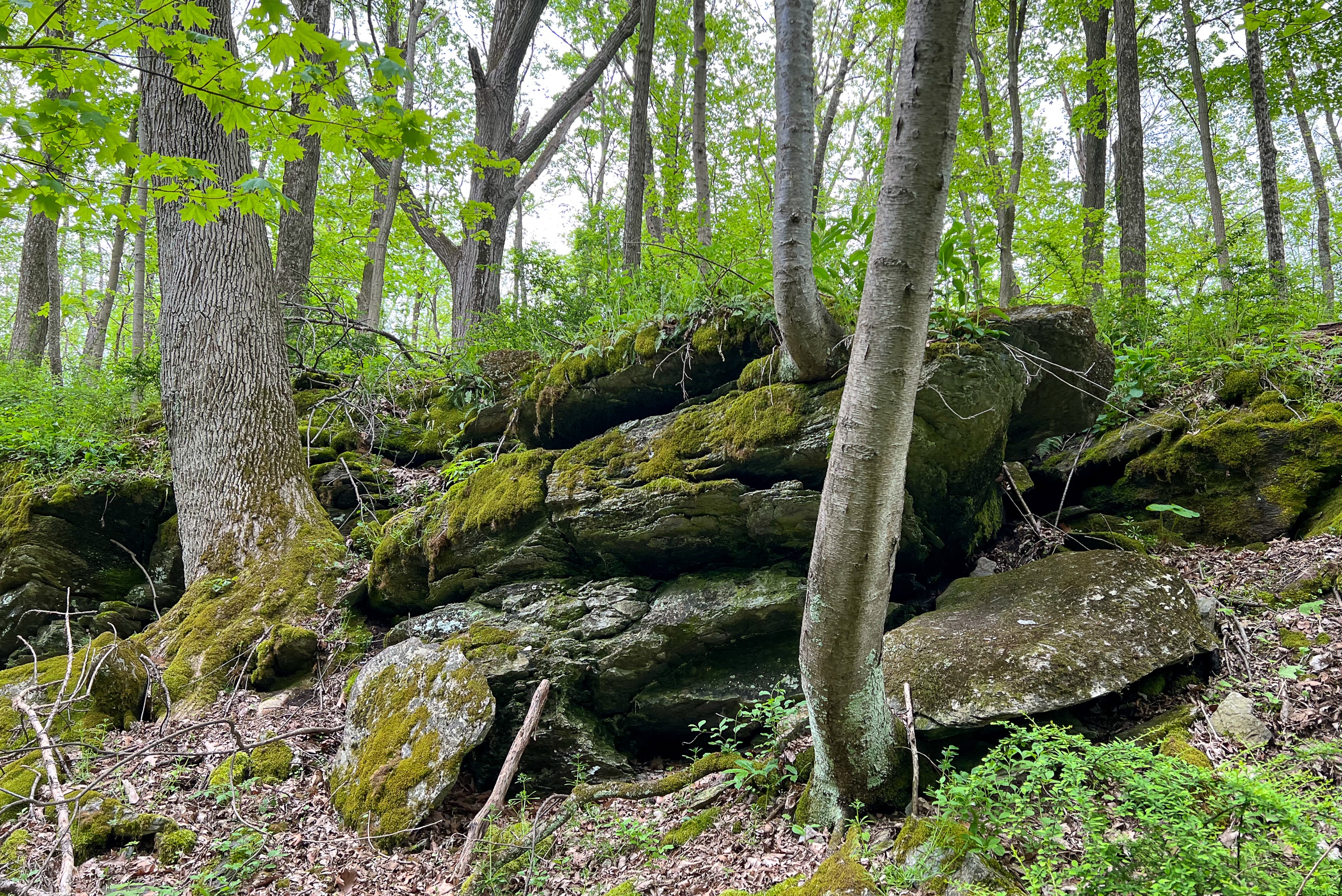
The preserve’s limestone rock formations and outcrops were formed millions of years ago, when the area was under the ocean. As sea creatures like oysters, clams, mussels and coral died, their shells and bones were broken down by waves and settled on the ocean floor. They compacted over millions of years, creating limestone from the sediments and the pressure of the ocean water.
Lime kilns are a remnant of human use of these land and are found throughout the preserve. These ovens were used to create quicklime for uses in agriculture and construction.
High Rocks Trail Hike
There is an informative kiosk at the end of the parking lot with information about the plant and animal life in the park as well as park history and geology.


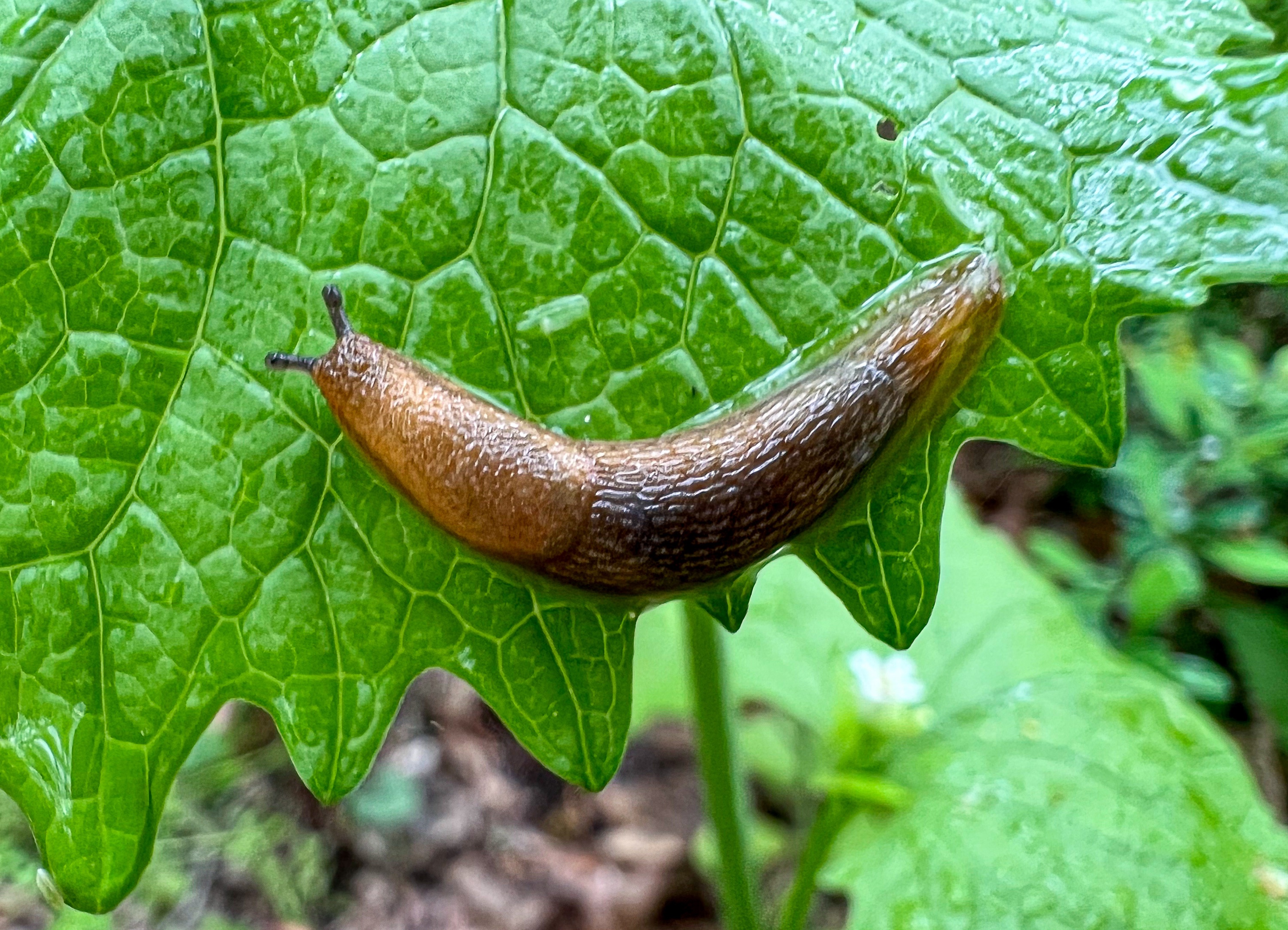
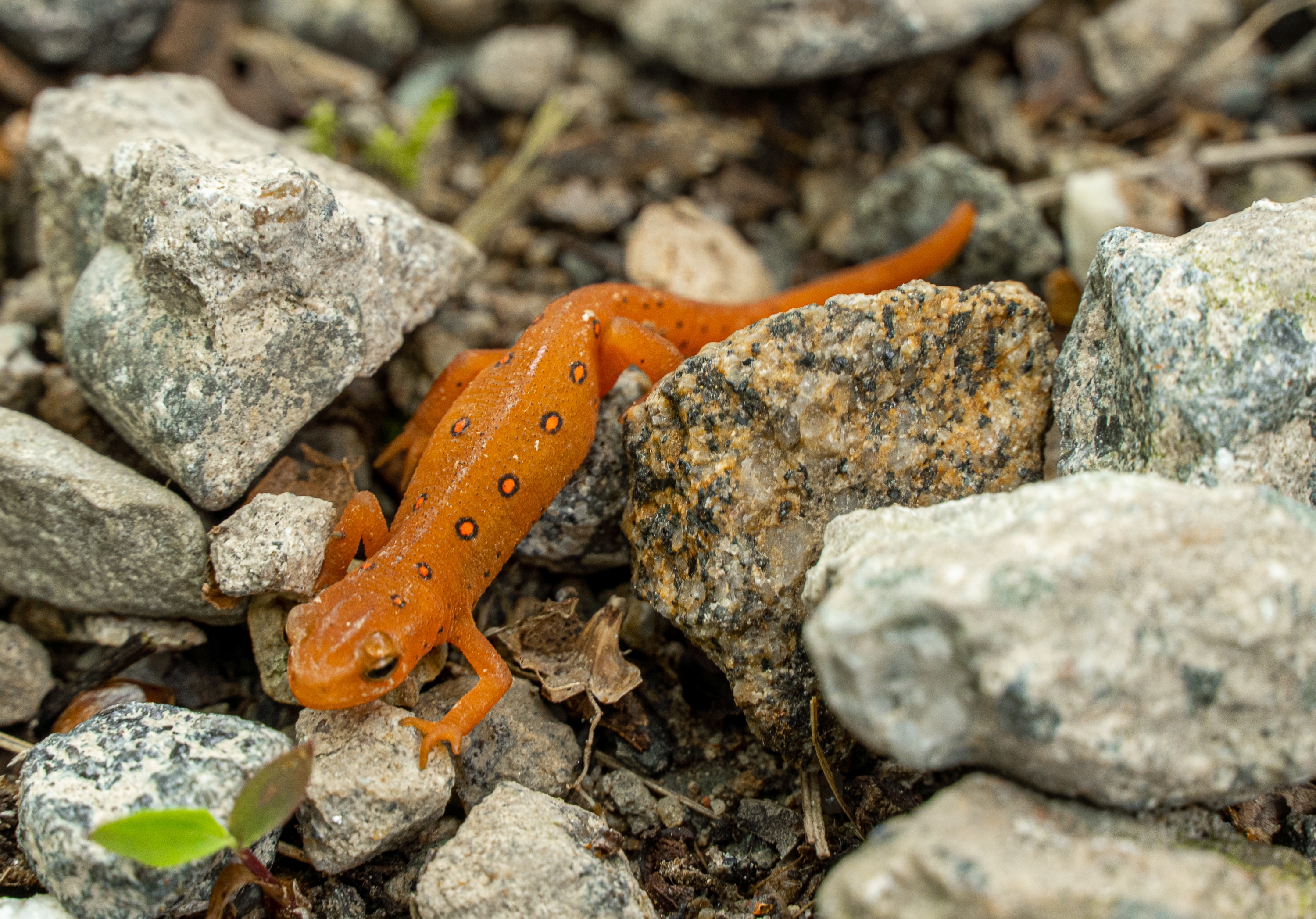
The area is full of interesting plants and wildlife which you’re sure to see during your hike.

Just ahead is a bench at an overlook over Mud Swamp. A pit toilet is also nearby.
Turn back towards the kiosk and look for the sign indicating the trailhead for the High Rocks Trail.
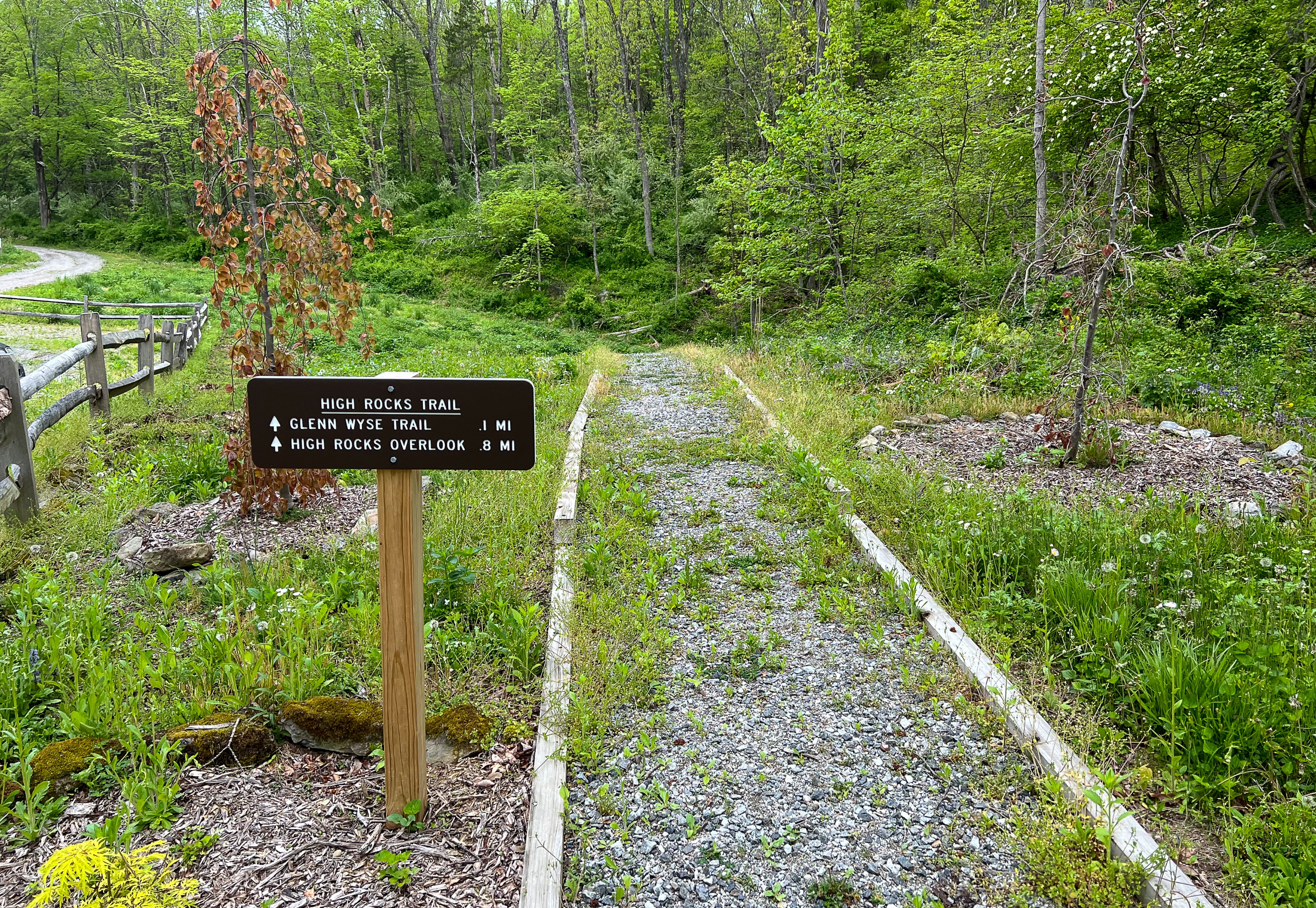
Follow the gravel trail which joins the Old Stage Road as it turns to the right and passes a gate.

After 0.1 miles, you’ll reach a shelter/gazebo and a junction for the Glenn Wyse Trail. For now, continue to follow the trail for a half mile. The trail reaches a junction where the High Rocks Trail turns left, but continue straight a short distance to reach the Mud Pond Viewing Area.
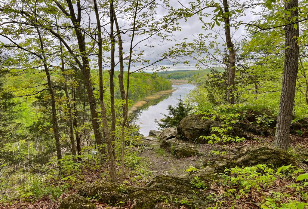
Turn back and return to the trail junction. From this junction, it’s 0.3 miles to the High Rocks overlook. You’ll now make a right to follow the High Rocks Trail, which soon begins a steady climb up towards “High Rocks.”
After 0.3 miles, you’ll each a junction. Follow the sign to turn right towards High Rocks along the orange Pond-side Loop Trail. You’ll immediately reach another junction. Turn right again to now follow the short white blazed High Rock Spur Trail.
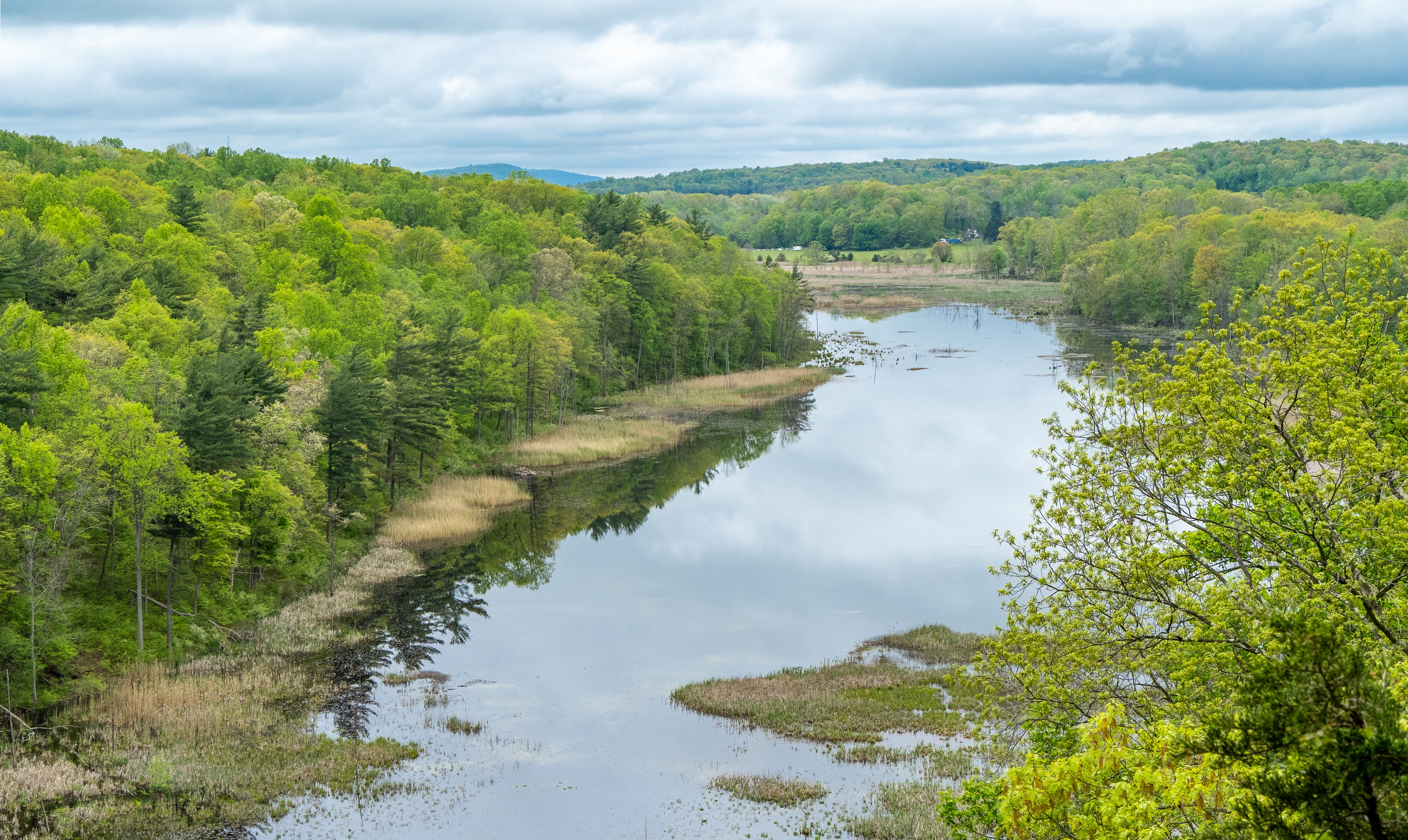
High Rocks Overlook
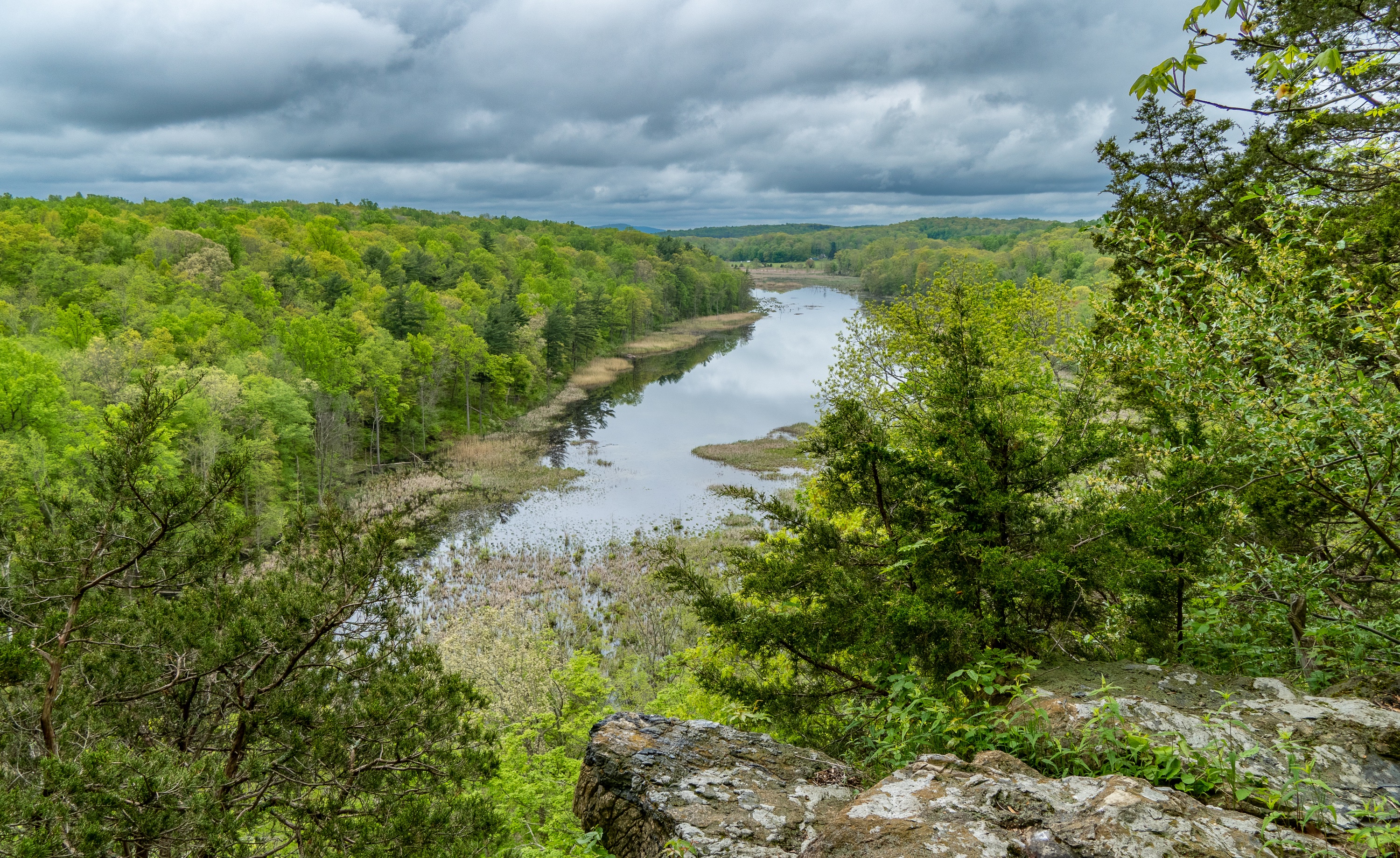
A short distance ahead, you’ll reach the High Rocks overlook with an impressive view over Mud Pond.
The limestone rock outcrops that overlook Mud Pond to the west and north are the largest formations of their kind in the New Jersey, with “High Rocks” providing an elevated vantage point for viewing wildlife, seasonal landscape vistas, and acres of fields and forest fading off toward the Kittatinny Ridge.

Turn around and head back towards the parking lot. When you reach the junction for the Glenn Wyse Trail, you can decide if you want to do the short 0.6 mile loop.

The loop offers three viewpoints over Mud Pond.
It also climbs and passes next to limestone rock formations.

After returning to the starting point of the loop, you’re now just 0.1 miles from the trailhead and the parking lot.


