Overview
This popular and kid-friendly scenic hike passes under the 133-foot span of the impressive Hickman Natural Bridge, features views of Capitol Dome, Navajo Dome, and the Fremont Valley, and is an opportunity to experience and learn about the natural and cultural history of Capitol Reef National Park.
Length: 2.2 miles
Elevation gain: +415 feet

Location: Capitol Reef National Park
Parking
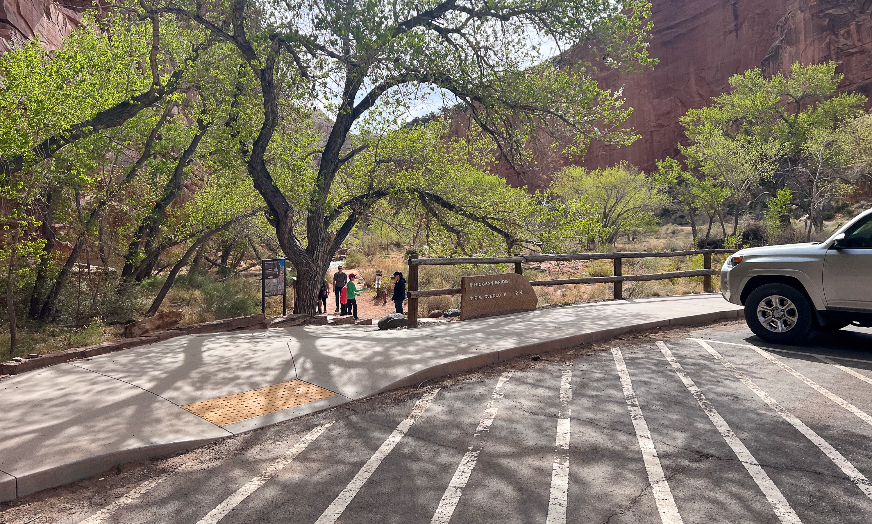
There is a parking lot with pit toilets on the north side of Rt 2, a few miles east of the visitor center. It’s a popular trailhead, so the lot could be full and cars will park on the shoulder of the road.
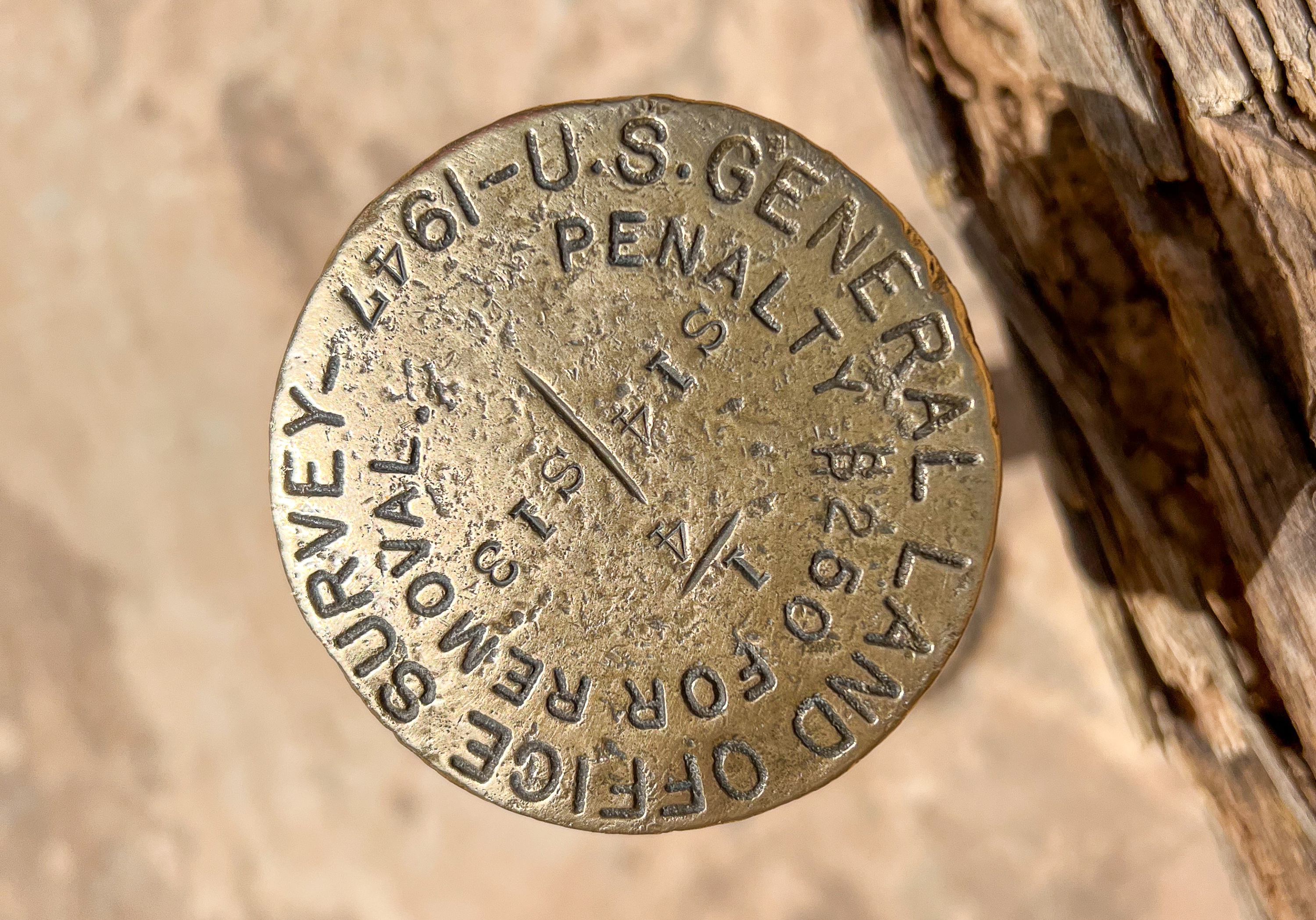
Hickman Bridge Trail Map
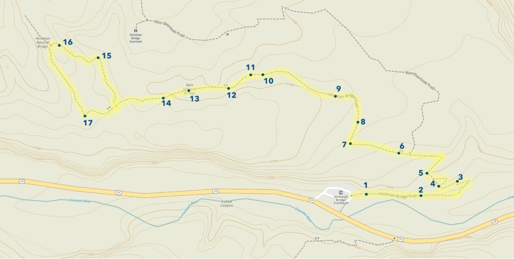
This map shows the 17 locations marked along the trail. A brochure for the trail is available at the trailhead for 50 cents. The descriptions from the brochure are also included below.
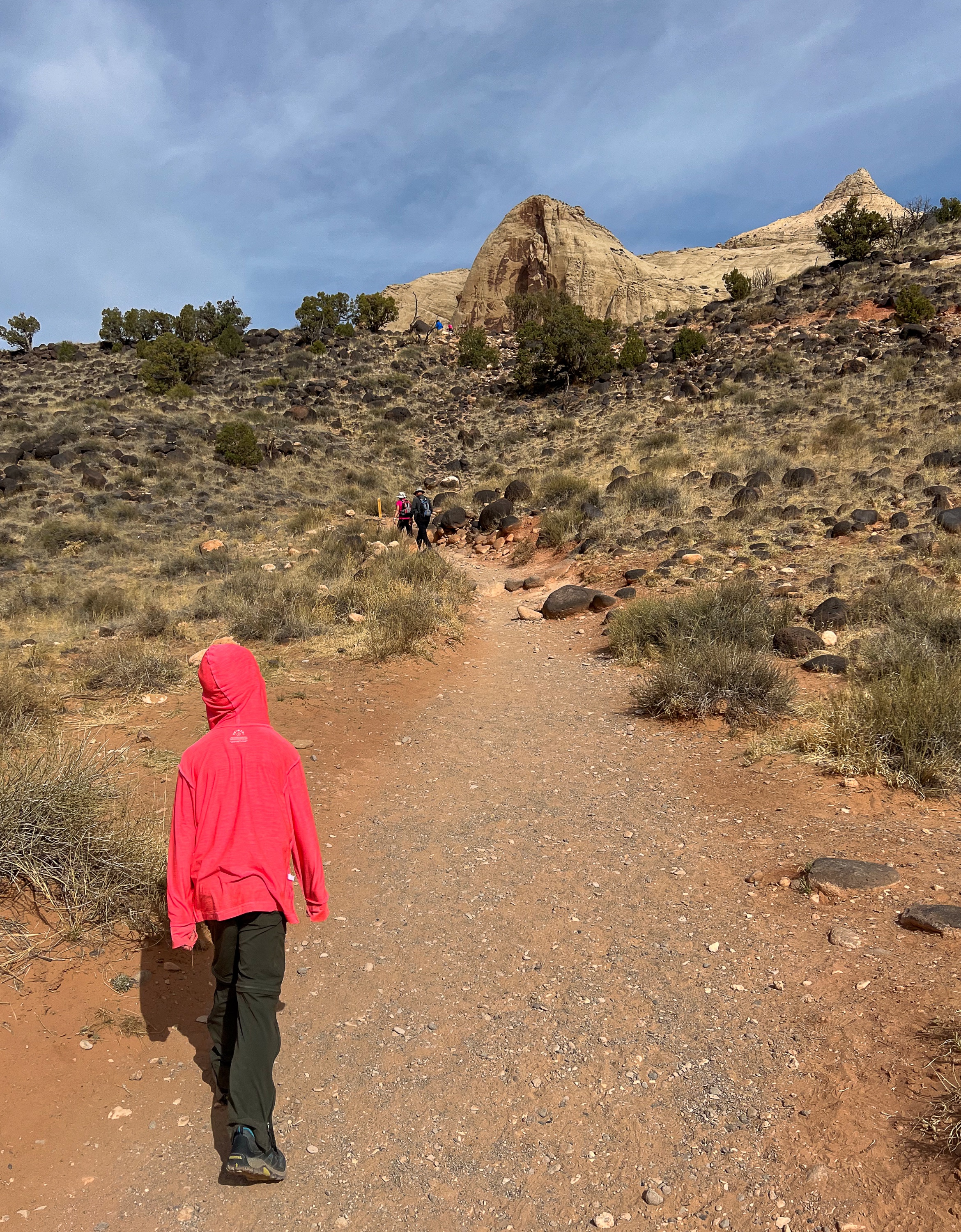
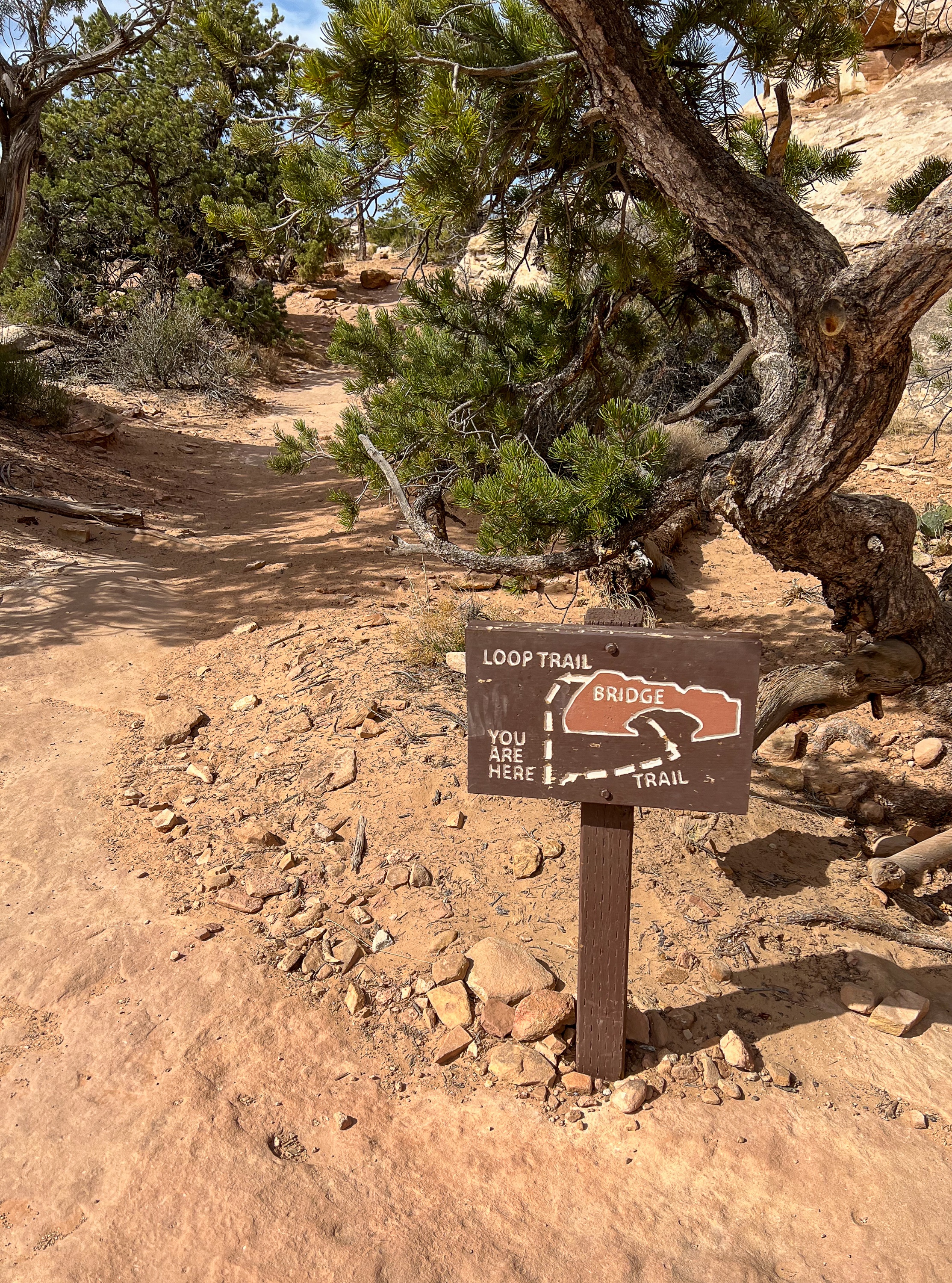
Hickman Bridge Trail Description
A brochure available for 50 cents at the trailhead describes 17 points of interest labeled along the trail. Just beyond the trailhead is a sign warning not to stop walking for the next 500 feet due to the risk of rockfall.

Stop 1
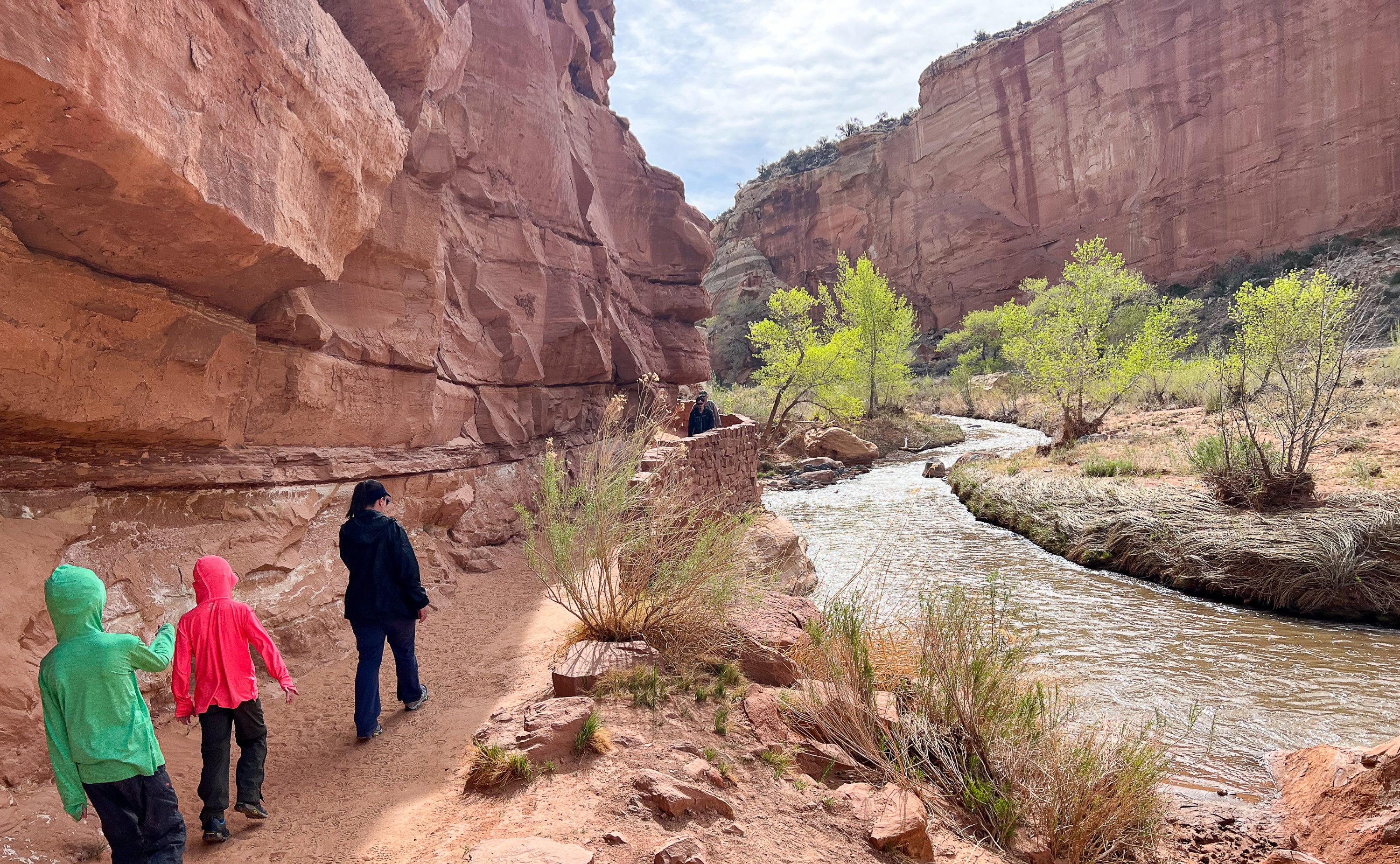
The Fremont River was, and remains, central to both the topography and human history preserved in the park. The erosive action of the river and its tributaries continues today, especially during floods. For almost 2000 years the river has sustained agricultural communities on the arable land near its confluence with Sulphur Creek.
Stop 2
Water in the desert brings obvious abundance, almost to the point of lushness. Just a few yards away, however, plants have to adapt to a much more austere environment. Annual precipitation along the trail averages about eight inches (20 cm), and plants have developed a variety of strategies to collect and conserve moisture. Being situated at the base of a cliff that concentrates rain water into a small area may be less an adaptation than chance, but it is advantageous.
Stop 3
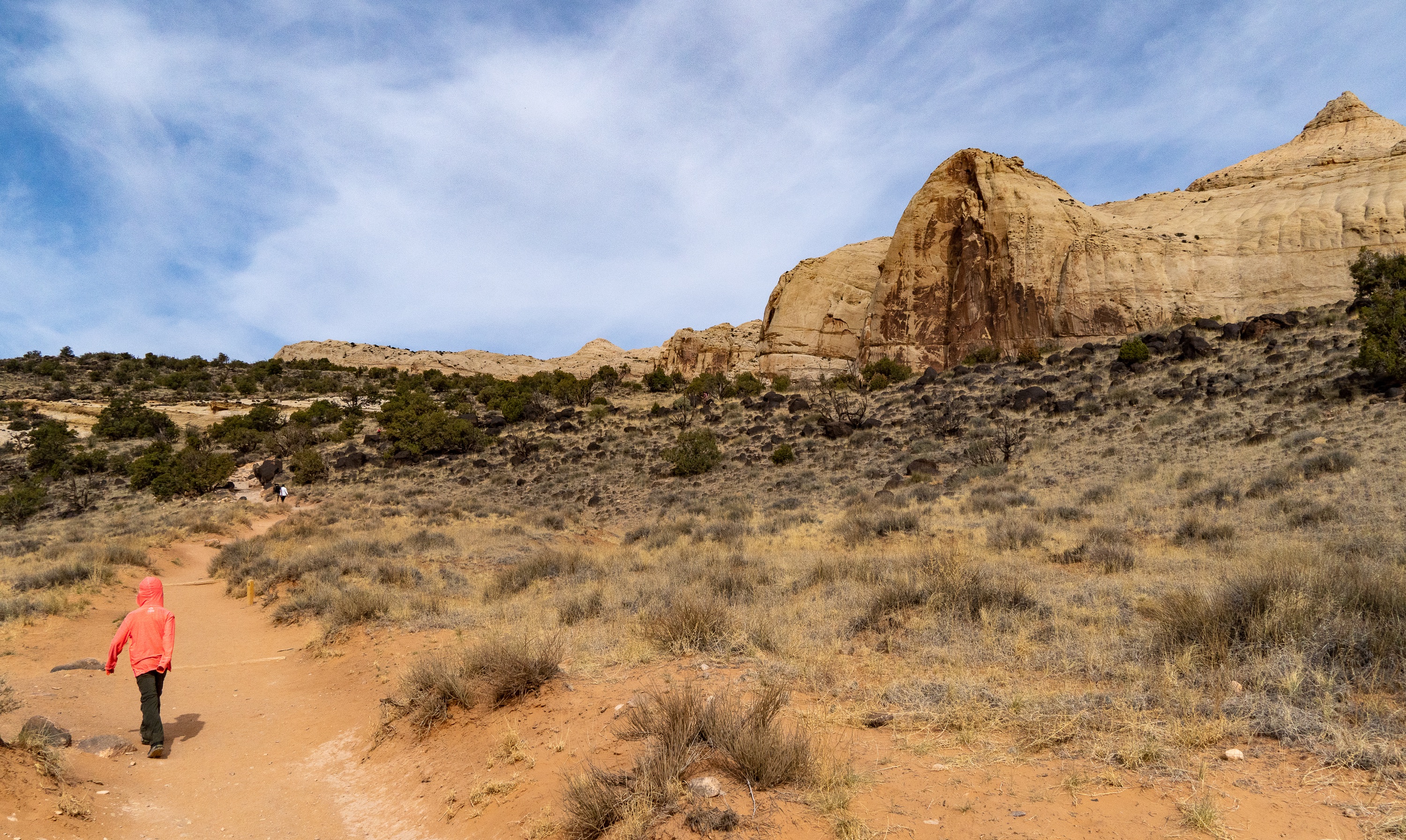
Directly ahead is Capitol Dome, which resembles the Capitol building in Washington, DC. The other part of Capitol Reef’s name derives from a regionally common use of the nautical term “reef” to identify steep ridges that are barriers to transportation.

Stop 4
Walk on the side trail to the northeast about 30 paces. You can identify the remains of a pithouse foundation by the ring of black boulders. The prehistoric Fremont people inhabited the Capitol Reef area, making their homes in pithouses between 300 and 1400 C.E. the Fremont people left many of these sites and other cultural material from their life here. Please do not walk on this important archeological resource, or disturb any material you may find around it.
Stop 5
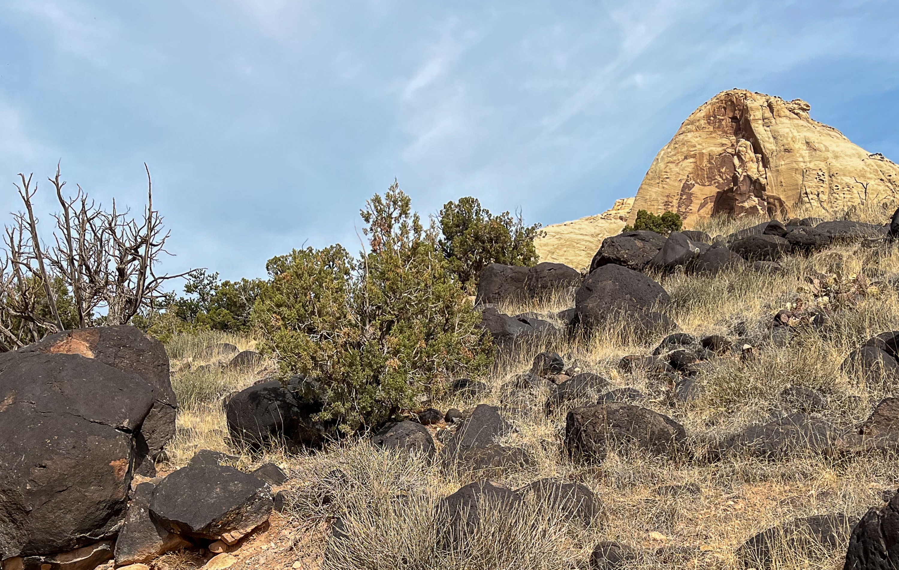
These black boulders consist of the same andesite lava that caps the flat-topped mountains west of the park. They were transported here, and rounded in the process, by large debris flows from the flanks of the peaks. The debris flows were associated with the melting of high elevation glaciers in very recent geologic time.
Stop 6
You are walking through a sandy area favored by prickly pear cactus and rice grass, important food sources for the Fremont peoples as well as many animals. The sand is held in place by a lumpy covering called biological soil curst, which consists of cyanobacteria, lichens, green algae, mosses, and microfungi. In addition to soil stabilization, the crust retains moistures, acts as a seedbed, and supplies nitrogen to emerging plants. A single misplaced step can destroy this crust. Please stay on the trail.
Stop 7
Utah junipers are prominent members of the pinon-juniper life zone common to much of the southwest at elevations between 500 and 7000 feet (1524-2134 m). In addition to its use for firewood and building materials, the Fremont people used juniper’s soft inner bark as fire-starter and insulation. The blue “berries” are actually small, closed cones.
Stop 8
The plants here conserve moisture in unique ways and provide food for animals today. In the past, they provided nourishment and medicine for man. Ephedra, or Mormon tea, is abundant here on the west side of the trail. Its slender stems appear leafless, but tiny scales on the jointed stems are efficient leaves. These stems were brewed for tea and the seeds roasted and eaten whole or ground into meal. The thick pads of the prickly pear cactus retain water and are edible. Fremont and other native people ate the pads, flowers, and fruits and used the dried pads as pouches. The roundleaf buffaloberry reflects light atop its silvery thick leaves and loses moisture from hairs on their white woolly undersides. Settlers made its edible berries into a sauce for buffalo steaks; hence its common name.

Stop 9
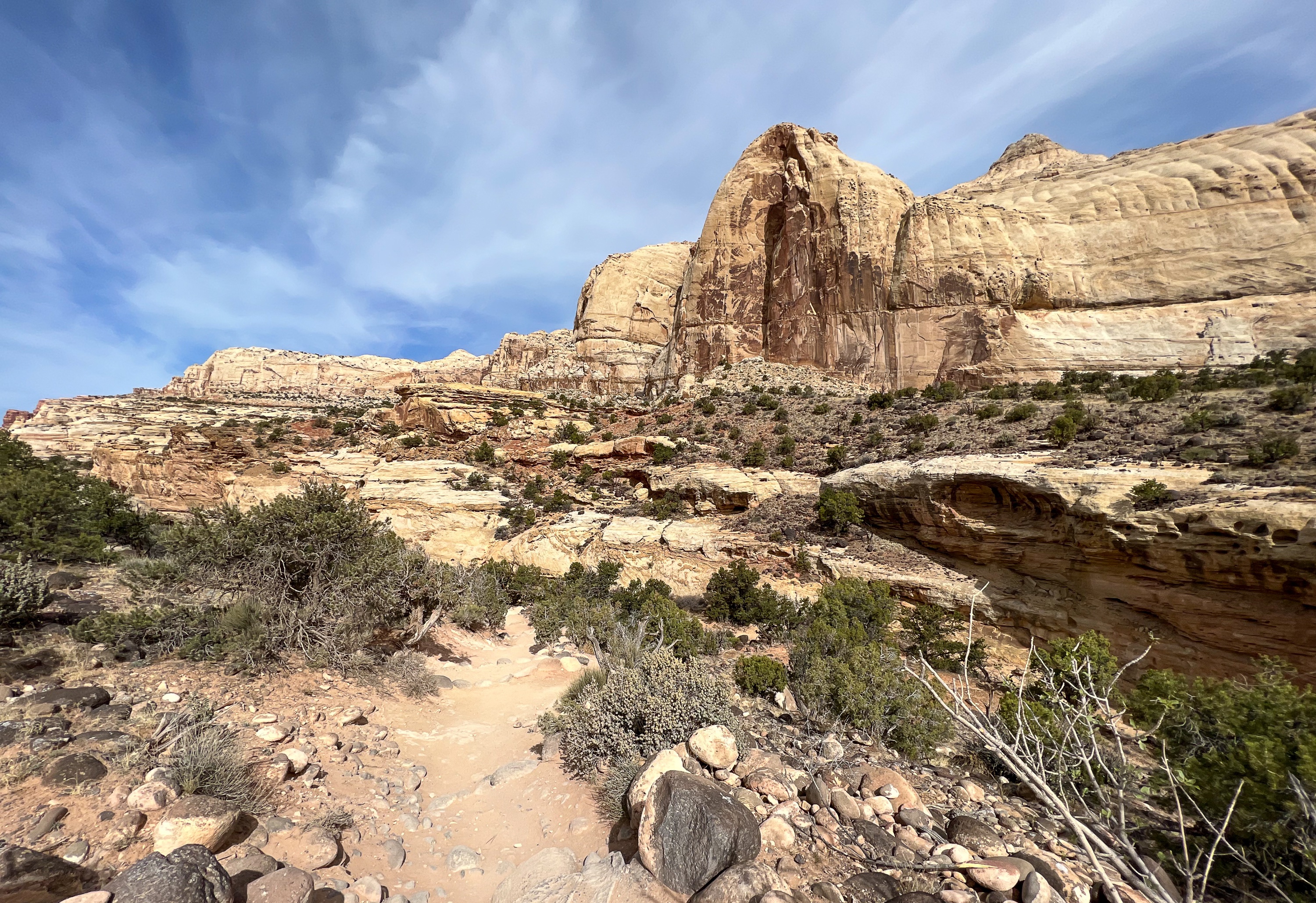
The white Navajo Sandstone to the north was deposited as sand dunes about 180 million years ago. Remnants of the vast dune field, or erg, are prominently exposed here, at Zion National Park, and in Glen Canyon National Recreation Area. Even at this distance, you may be able to see the cross-bedding that typifies sand dunes.
Stop 10
The Fremont people knew how to make use of desert plants. The yucca at your feet provided material for mats, baskets, rope, nets, food, and shampoo. As you might imagine, the sharp tips made good needles.
Stop 11
You are walking in a wash, so-called because water washes through here during storms. Between rains, the sand acts as an insulator to limit evaporation and enough sub-surface moistures is retained to support large trees and shrubs. Near the post are robust examples of pinon pine, Fremont cottonwood, skunkbush, juniper, and Utah serviceberry. Washes and narrow canyons are subject to flash floods, especially during thunderstorms.
Stop 12
Look up to the base of the cliff to the north. The remains of a granary built by the Fremont people are tucked within the layers of the Kayenta Formation. Here they stored their food and see crop of corn, beans, and squash which they farmed in the rich soil of the floodplain below. They also stored foraged food like pinon nuts. In order to project the structure, do not leave the trail to climb around it.
Stop 13 – Nels Johnson Bridge
A small natural bridge below the trail [known as the Nels Johnson Bridge] is evidence of the erosive power of water. Floodwaters, laden with sand and pebbles acting as grit, do most of the work. Erosion widened the canyons that have been deepened by flowing water.

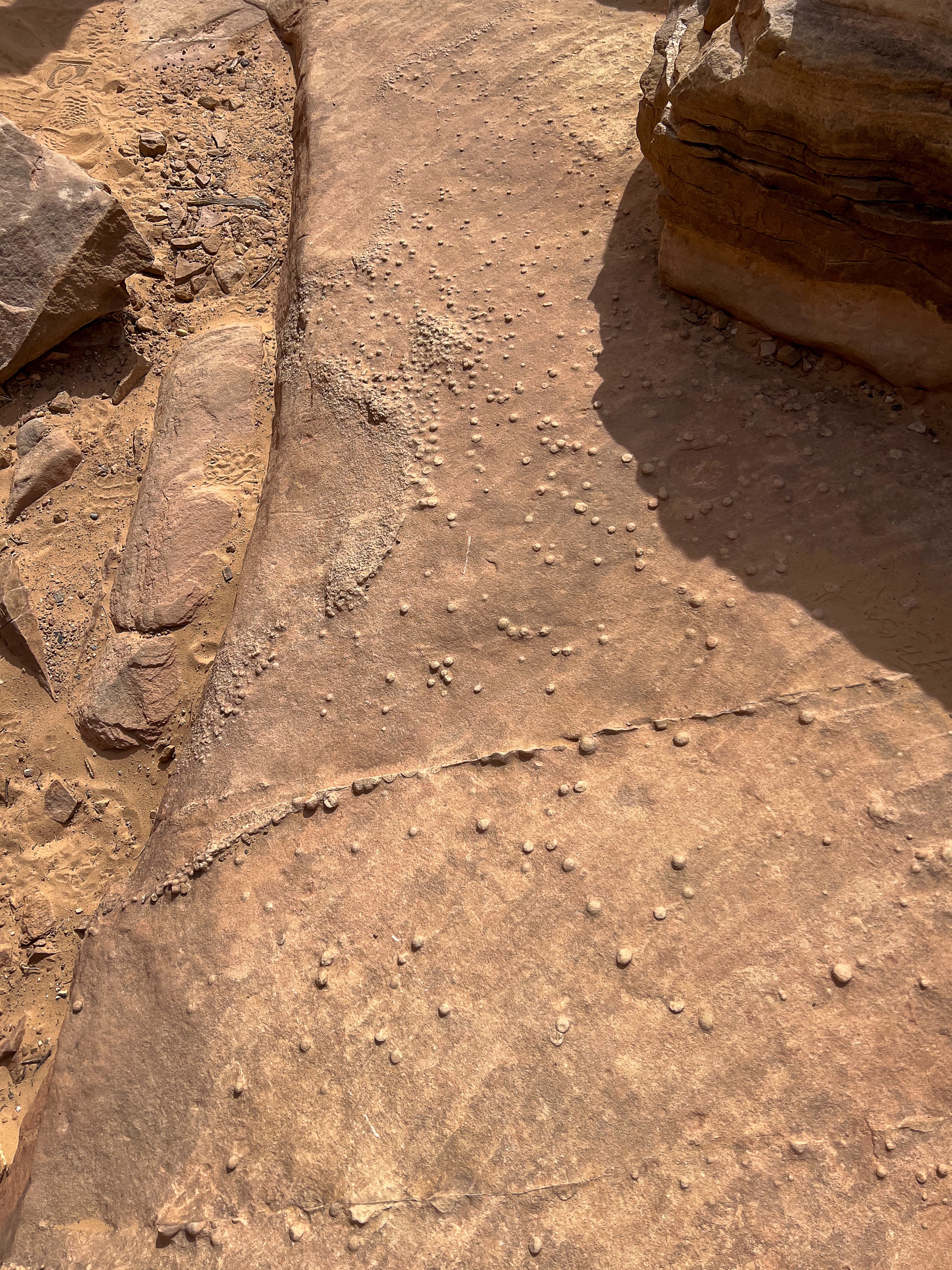
The small bumps on the trail ahead are erosion-resistant accumulations of iron.
Stop 14
The rock wall across the canyon is dotted with numerous holes called solution cavities, forms as slightly acidic groundwater dissolved the calcite that cemented the sandstone grains together. As you continue along the trail, look for a low post with a white arrow directing you to the Hickman Bridge, which will be to the right.


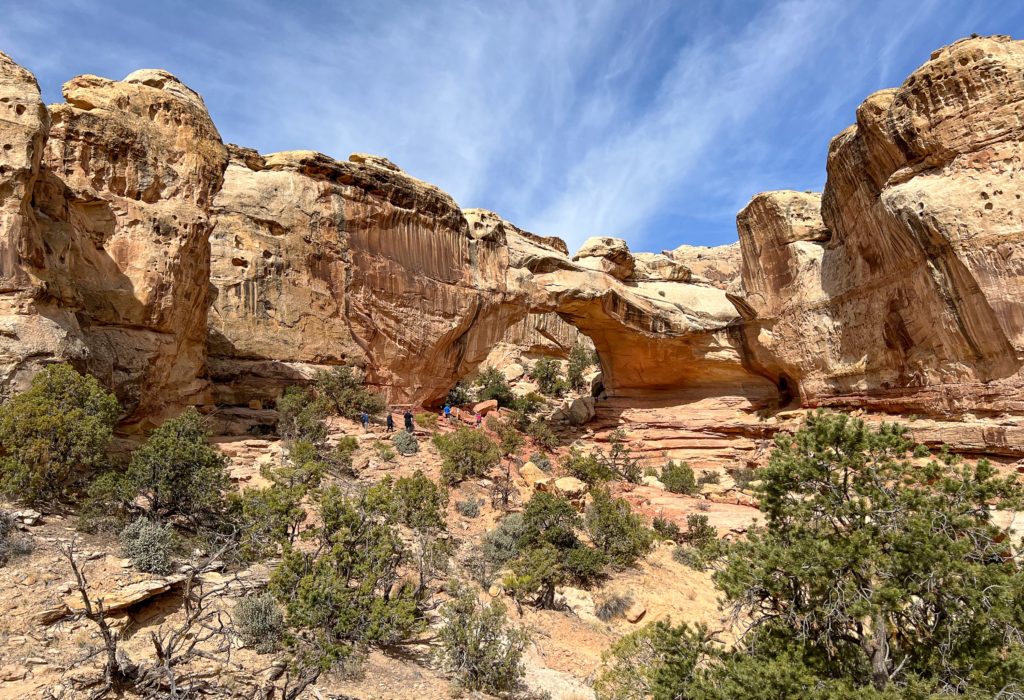
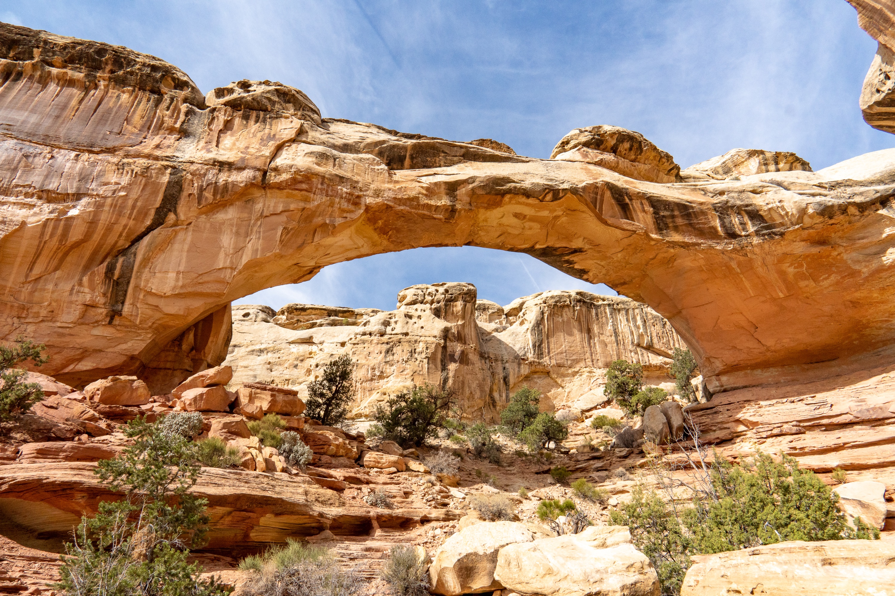
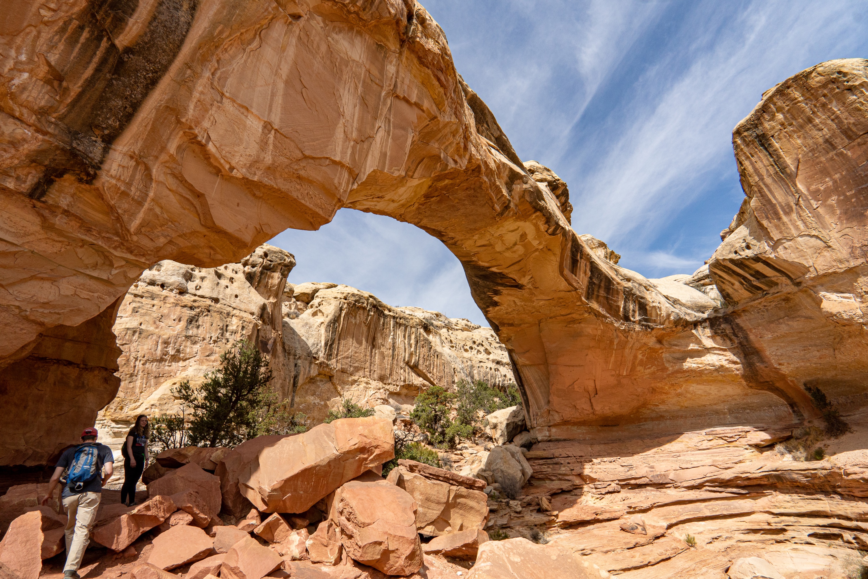
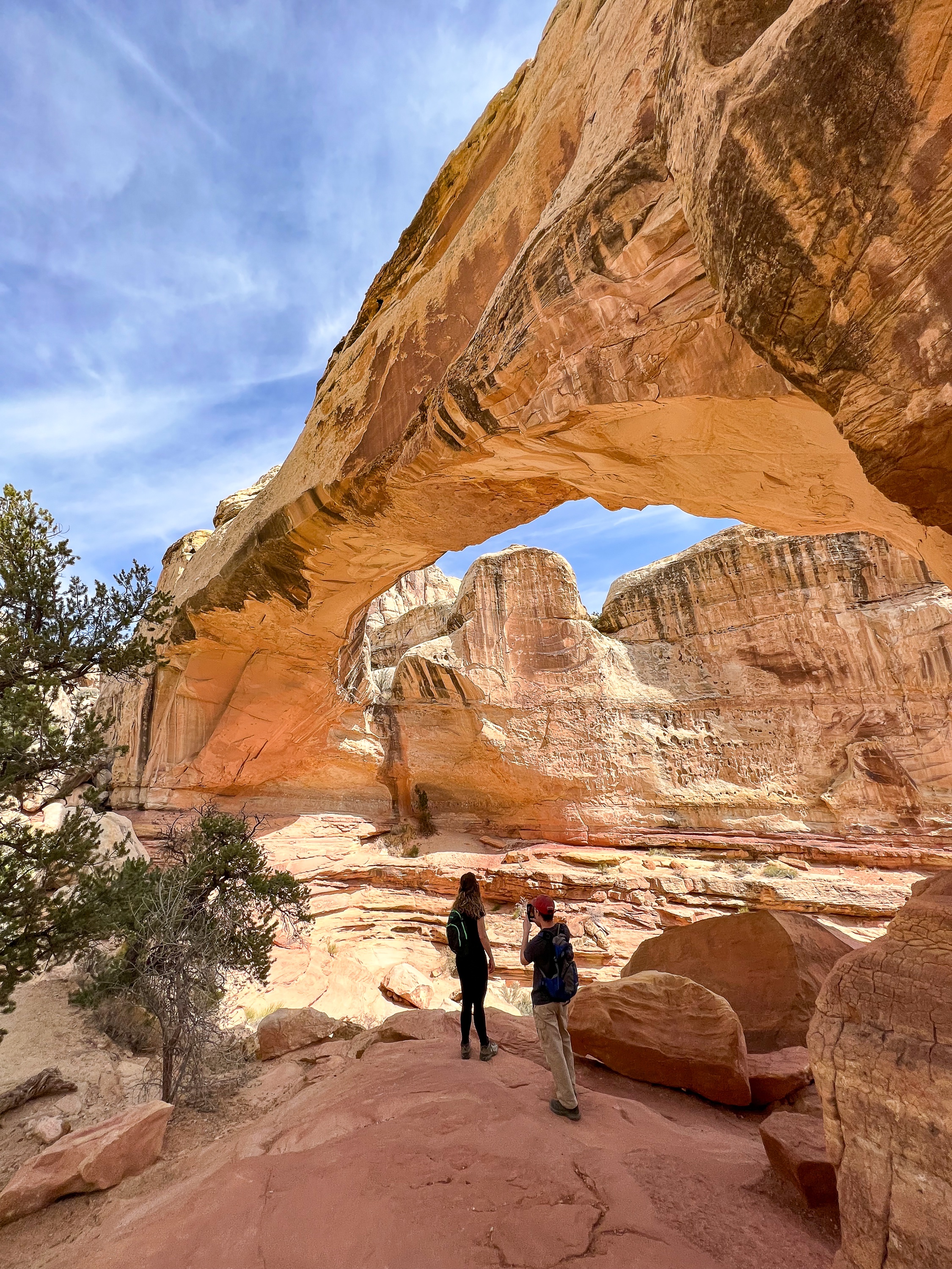
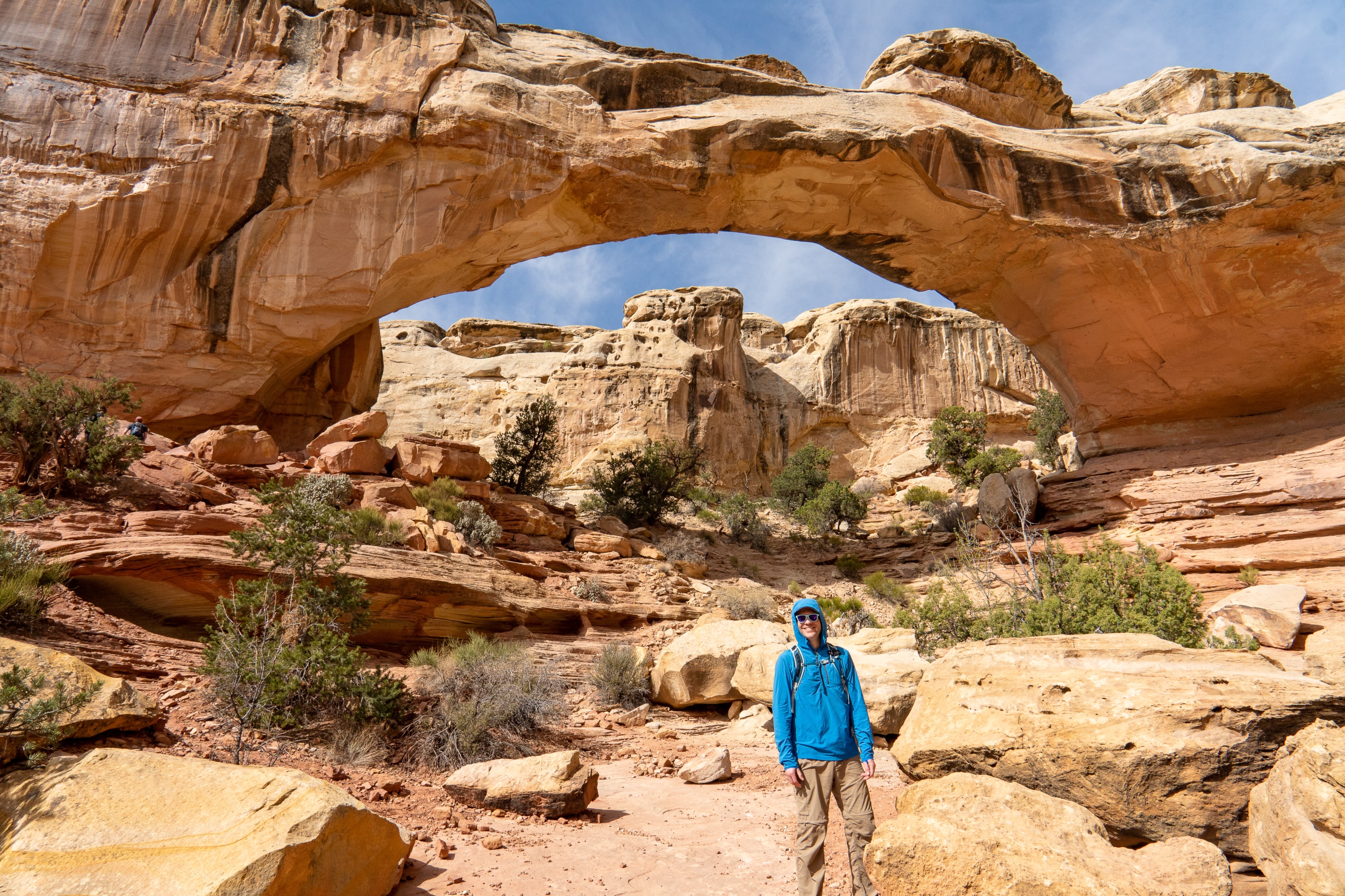
Stop 15 – View of Hickman Natural Bridge
The Hickman Natural Bridge stands ahead. It is 133 feet (40 m) long, and 125 feet (37 m) high. The feature was named after Joseph Hickman, who was a local school administrator and Utah legislator. Hickman was an early advocate for this area, which he called “Wayne Wonderland.” Wayne Wonderland was proposed as both a state park and a national park.
Stop 16 – Hickman Natural Bridge
This is a good place to consider how the natural bridge was formed. The Kayenta Formation consists of hard beds alternating with much softer layers. The bridge is firm sandstone, while next to the trail is friable red shale which crumbles easily. During wetter times, water coursed down behind the fin into which the bridge was cut, and eroded the soft shale until it broke through. Subsequent erosion enlarged the span. The trail passes under the bridge and turns left.
Due to its proximity to the canyon walls, the bridge is difficult to photograph with the blue sky underneath. For the best angle, explore just north of the trail to head down into the wash and get a view from below.
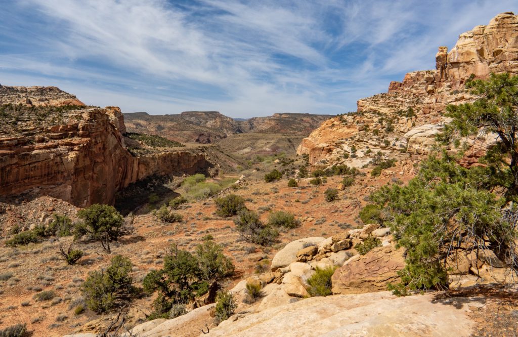
Stop 17 – Fremont Valley Viewpoint
From this vantage point it is easy to see how the rock layers tilt (dip) down to the east. The strata were tilted during a mountain-building event that began 65 million years ago. The monocline that resulted is named the Waterpocket Fold in recognition of small depressions in the rock which fill with water during storms. Erosion has exposed 200 million years of rock formations in, and just east of Capitol Reef along Hwy 24 for a distance of 15 miles (25 km).