Overview
Governor Mountain is a moderately easy, kid-friendly 2-mile loop with a great view of the Wanaque Reservoir and surrounding mountains.
Governor Mountain is one of our Top Kid-Friendly Hiking Trails in New Jersey.
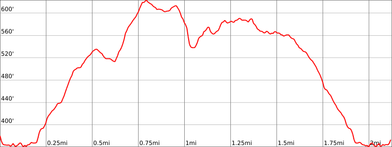
Hike Length: 2.1 miles
Elevation gain: 430 feet
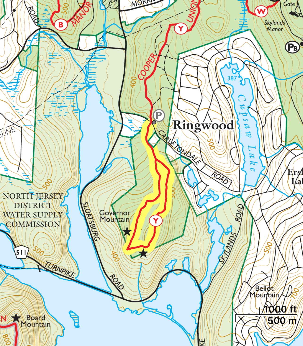
Location: Ringwood State Park, Ringwood, Bergen County, NJ
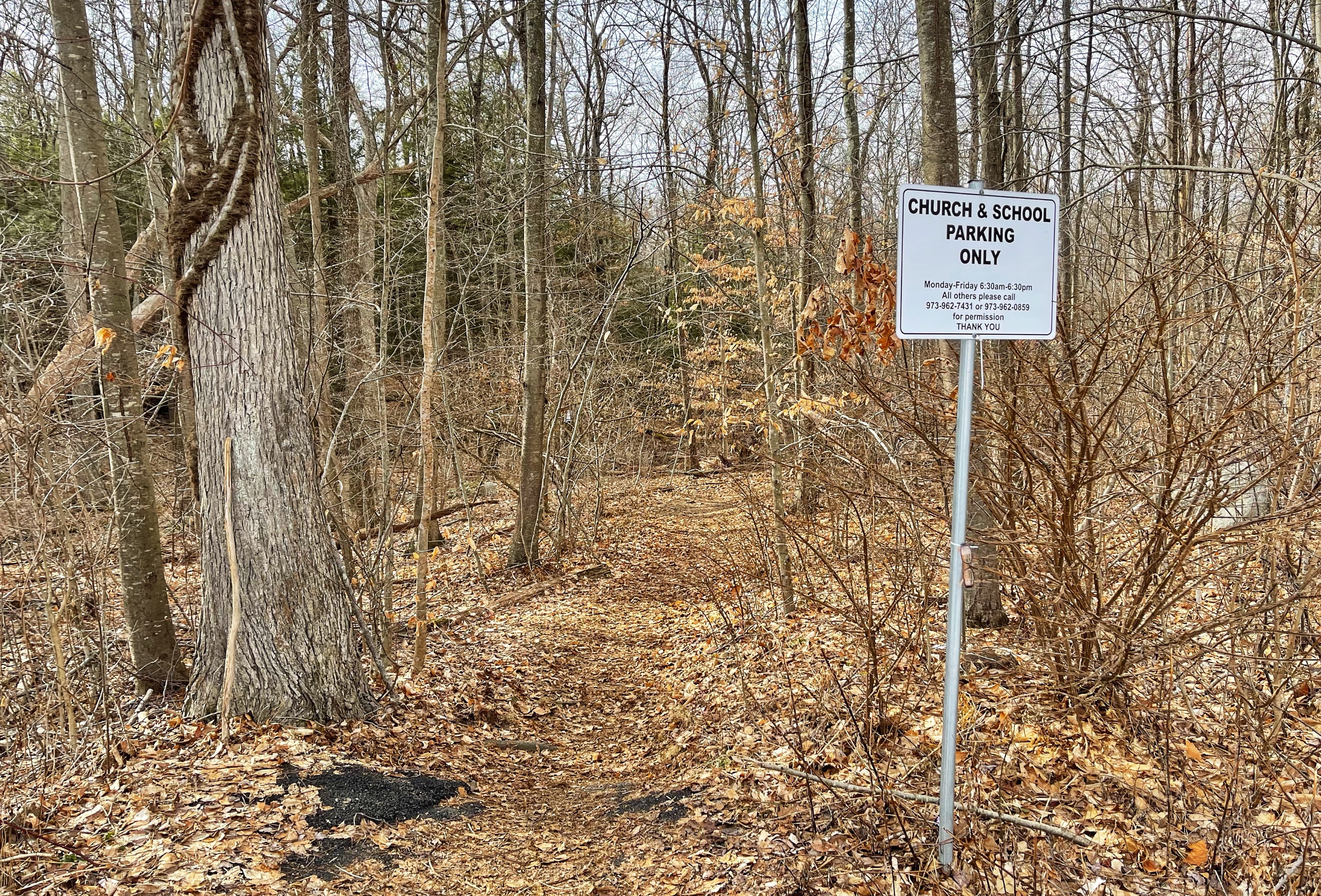
Parking: A small parking area for a few cars is just off Carletondale Road in Ringwood (Google maps link). Some people park behind the Community Presbyterian Church, 145 Carletondale Rd. Please note the sign by the trail entrance which reads: “Church & School Parking Only Monday – Friday 6:30am – 6:30pm. All others please call 973-962-7431 or 973-962-0859 for permission.”
Maps
Free
- Ringwood State Park map – NY-NJ Trail Conference (pdf) Note: map does not show parking area
Paid
- North Jersey Trails map #115 – NY-NJ Trail Conference (print)
- North Jersey Trails – NY-NJ Trail Conference (Avenza)
Trail description
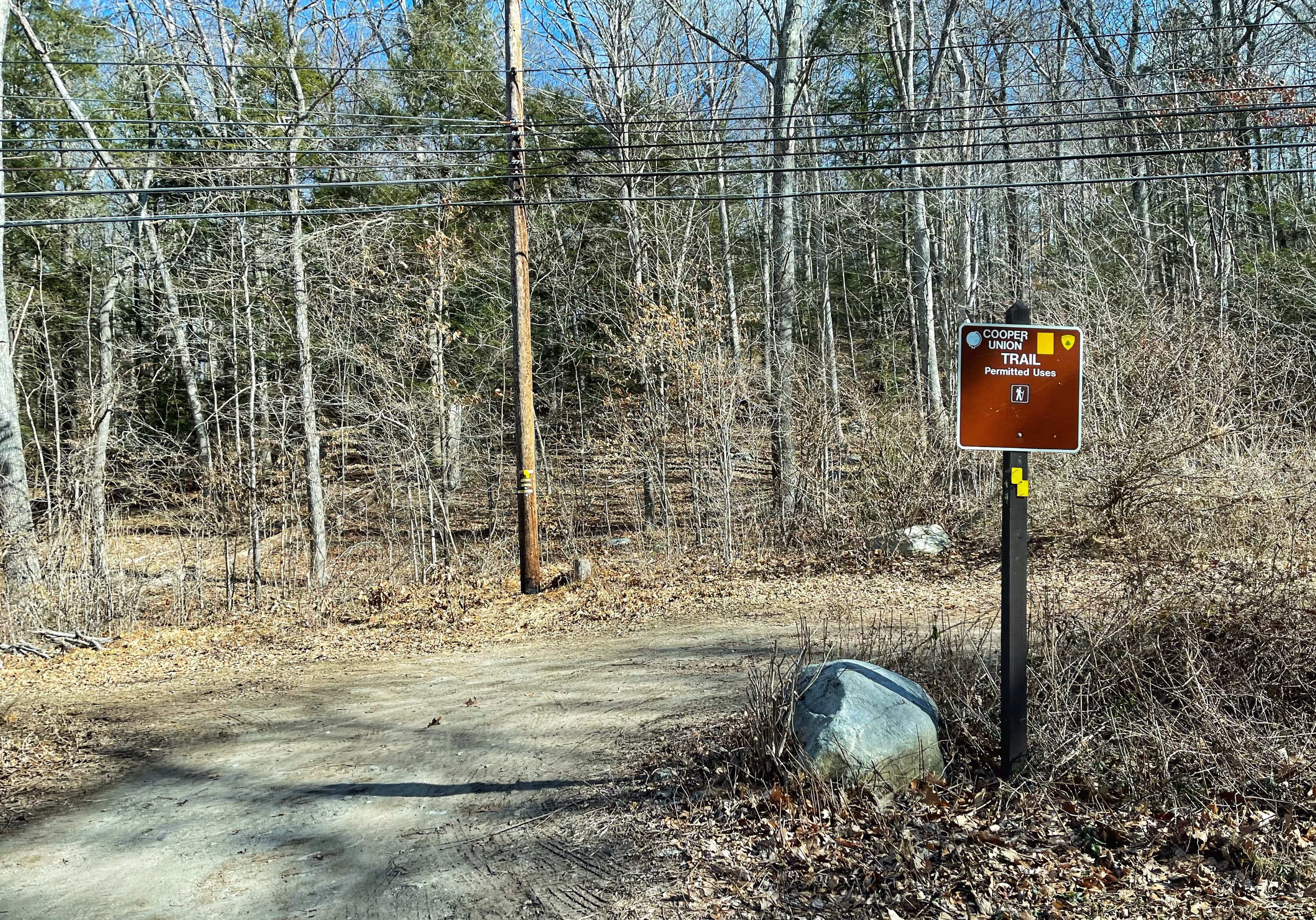
Enter the trail either from Carletondale Road or the church parking lot. Look for the yellow-blazes for the Cooper Union Trail. The trail begins level and you’ll soon cross a creek on a small footbridge.

The trail now starts to climb. About 500 feet later you’ll reach a junction where the trail forms a loop. Stay right here.

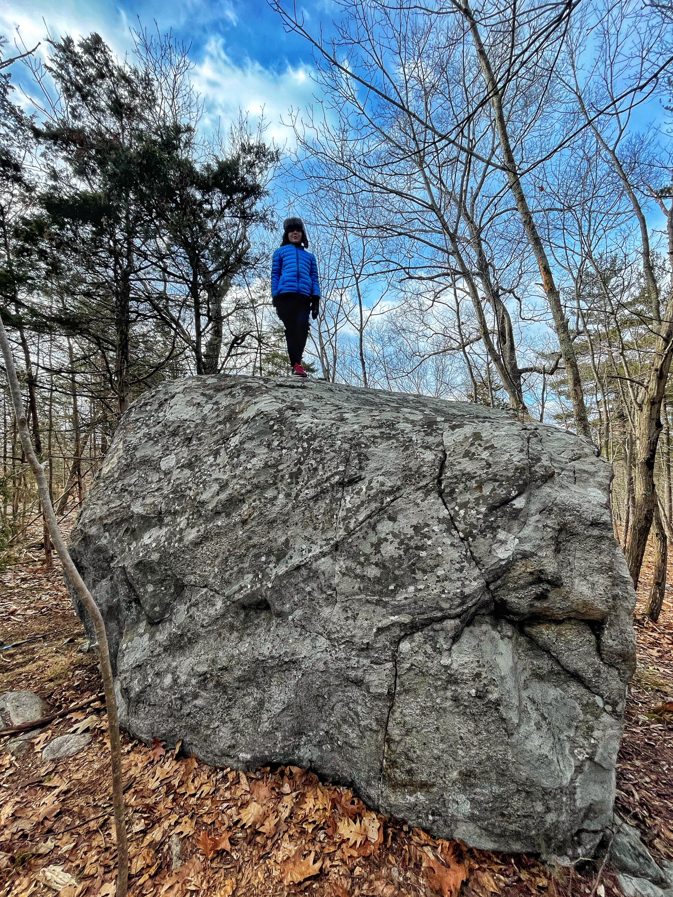
The trail continues to climb. Along the way, you’ll pass many glacial erratics – large boulders carried and left behind by retreating glaciers.
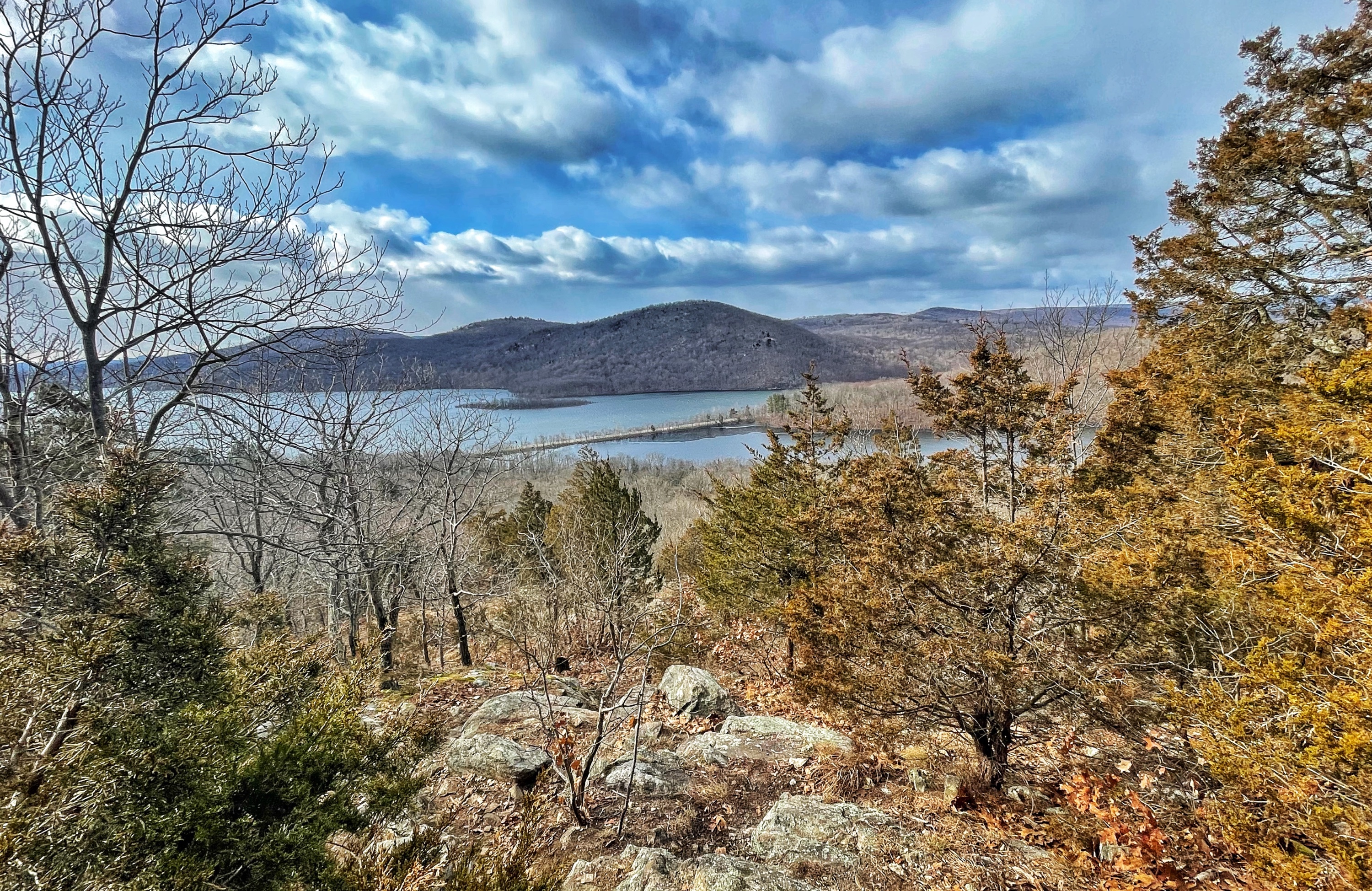
About a mile from the trailhead, you’ll reach the first view of the Wanaque Reservoir. It’s a great view, partially obscured by trees.
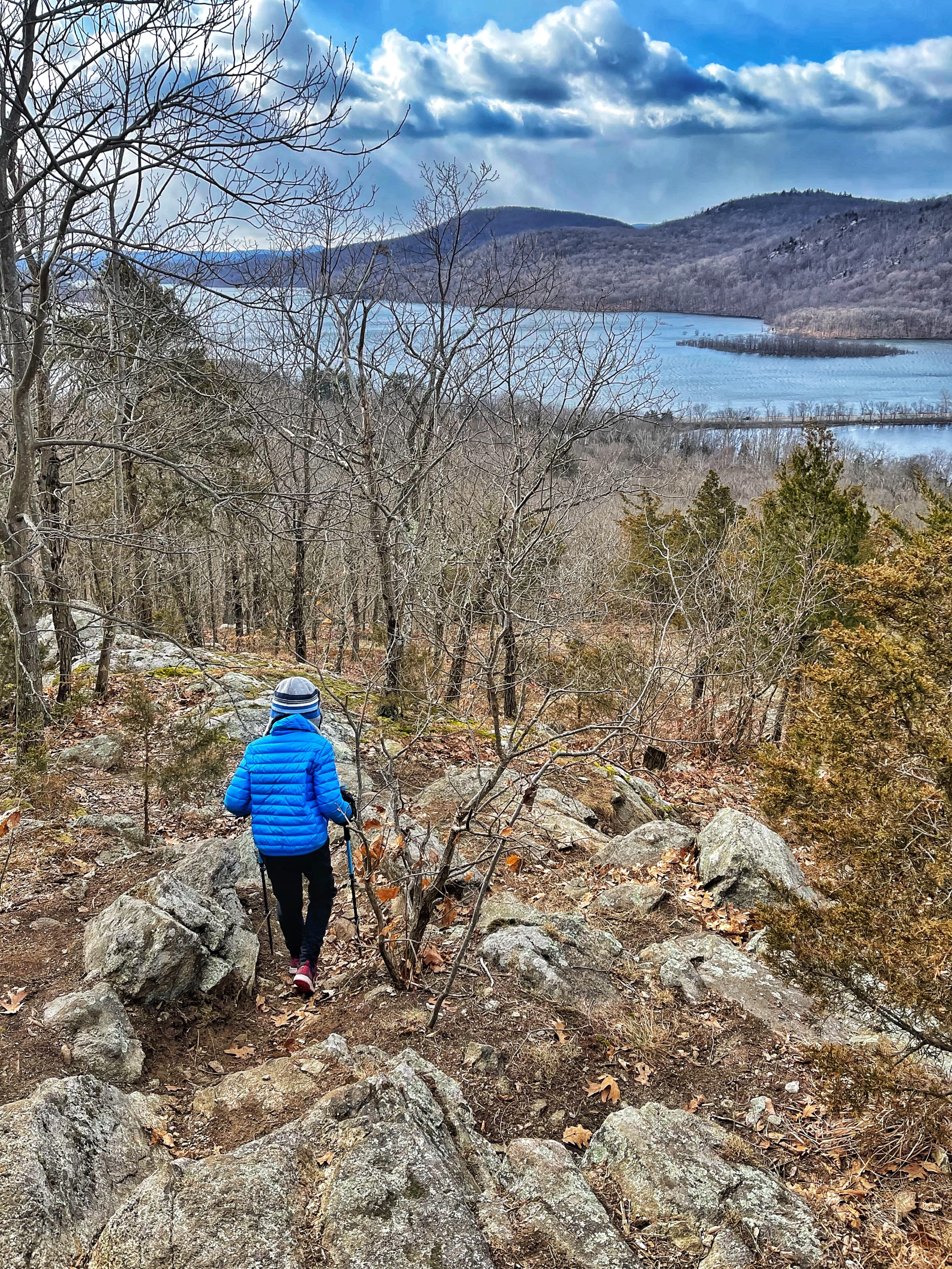
From here, continue straight in the direction of the reservoir along an unmarked trail which heads downhill for a short distance.
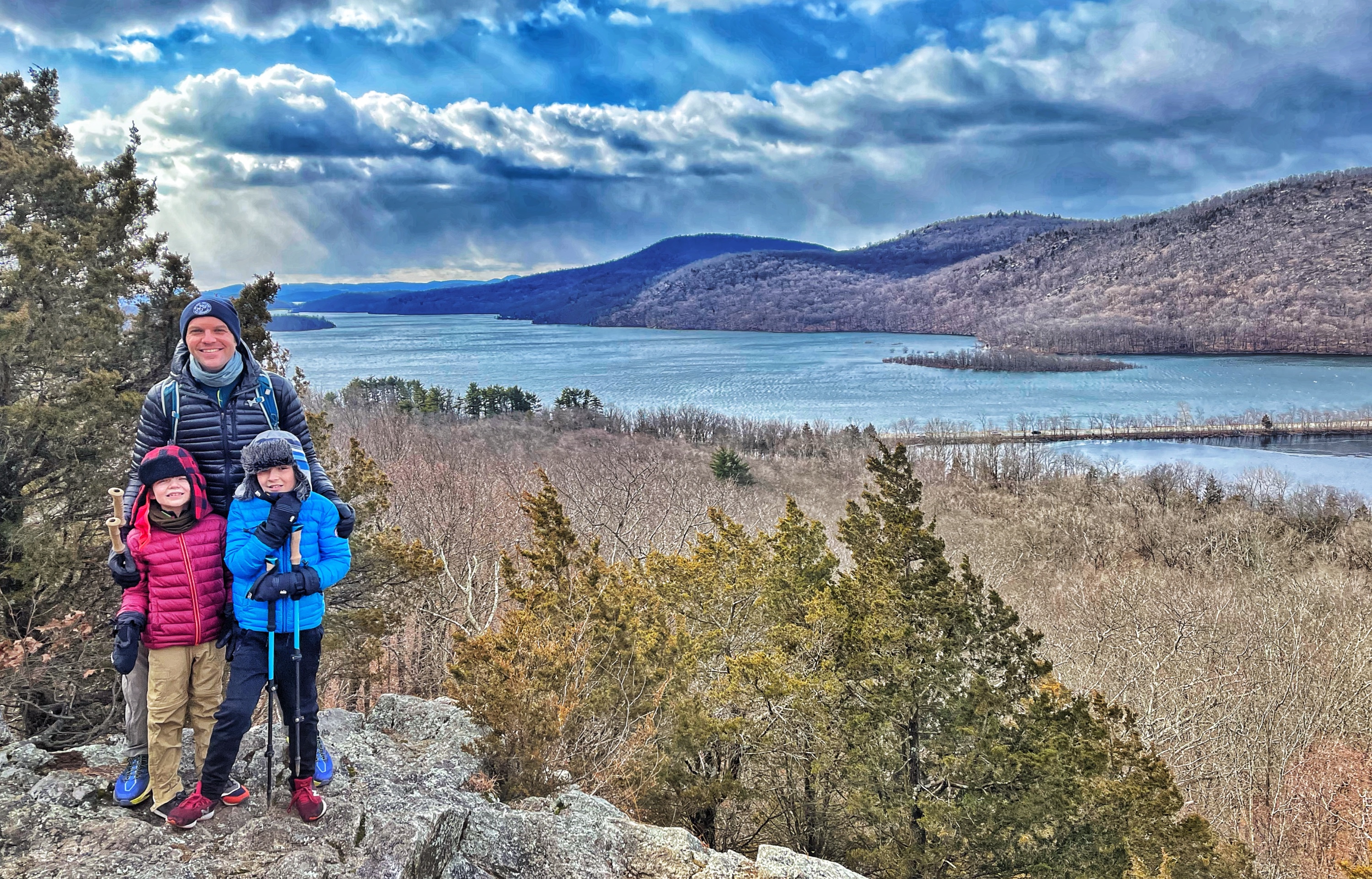
You will very soon reach a clearing and an even better, nearly unobstructed view of the reservoir and surrounding mountains.
From here, either retrace your steps or follow another unmarked trail back uphill a short distance to the yellow-blazed trail. About 1,000 feet later, you’ll reach a short unmarked spur trail on your right to a partial but mostly obstructed view of the reservoir.
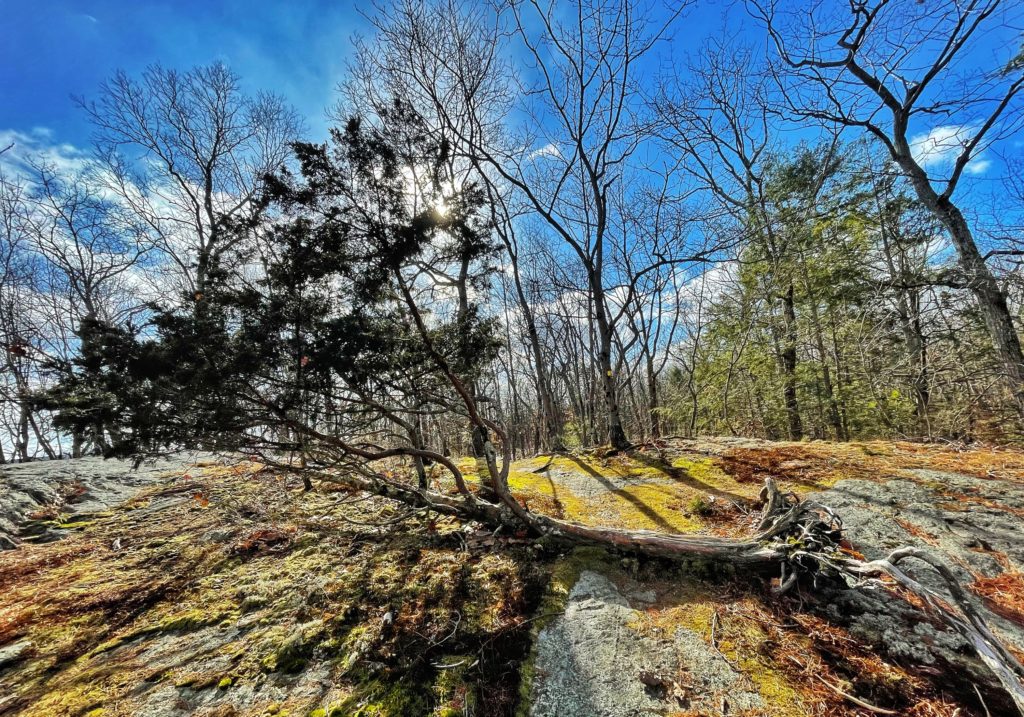
The trail continues relatively level along the summit for about a half mile before beginning to descend. Along the way, the trail crossed a tree that’s fallen over but that continues to grow.
The trail descends more steeply and again reaches the junction where you forked to the right earlier. Stay to the right and continue another 500 feet or so to return to your car.

