Overview
Delicate Arch is a widely recognized symbol of Utah and one of the most iconic geological features in the world. This moderately difficult hike also passes the historic Wolfe Ranch and Native American petroglyphs. As one of the most popular destinations in the park, don’t expect solitude on this hike.
Length: 3.0 miles
Elevation gain: +480 feet
Location: Arches National Park
Parking
Park in the Delicate Arch parking lot. Pit toilets are available at the trailhead. There are no water fountains here.
Delicate Arch Trail Map
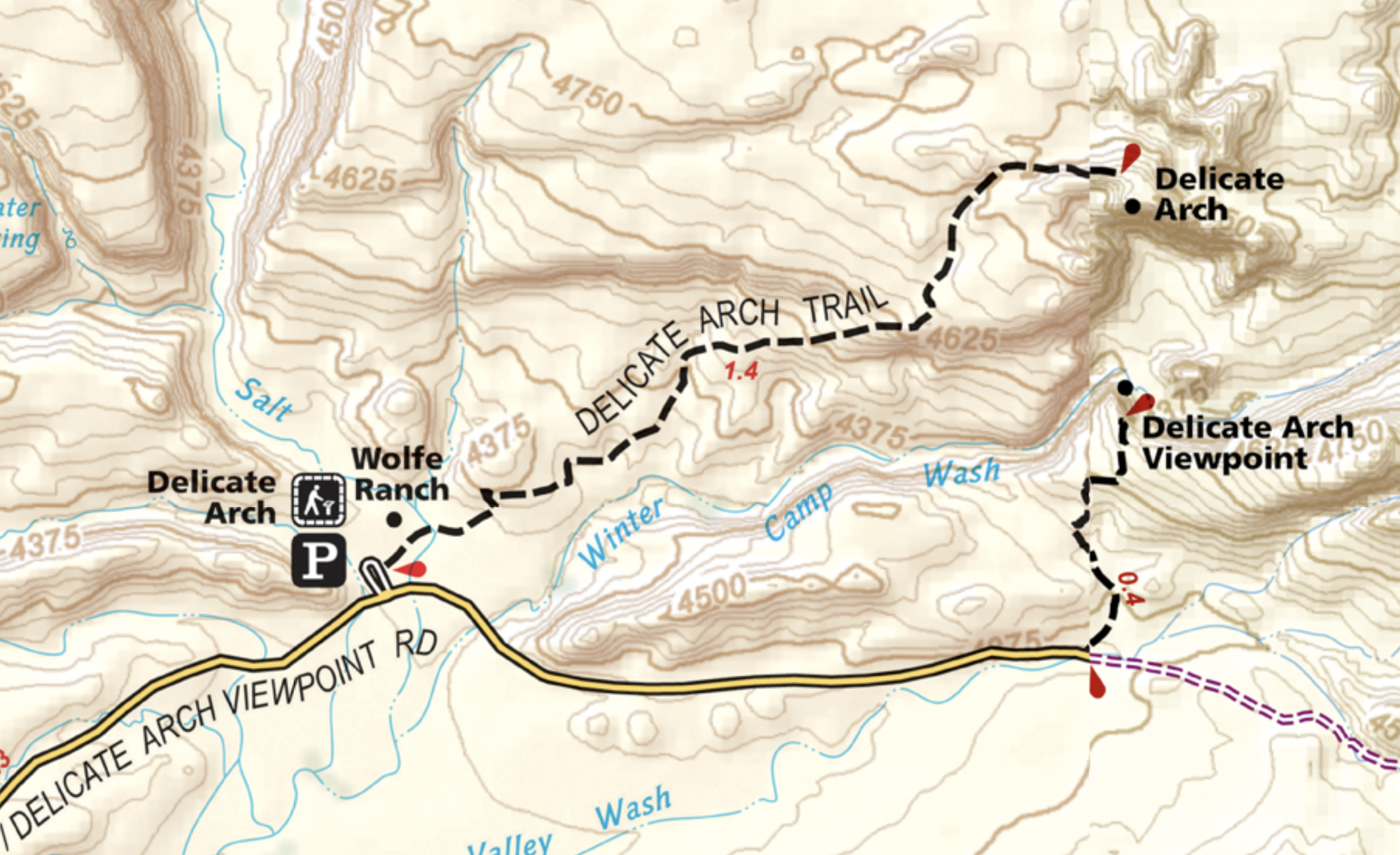
Delicate Arch Viewpoints/Alternatives to Hiking
Delicate Arch is not visible from the road, but if you’re not up for the 3 mile hike to get up close to the arch, there are two other options to catch a glimpse from a distance – Lower Viewpoint and Upper Viewpoint. The lower viewpoint is a level 100 yard walk which provides a view of the arch from about a mile away. If you prefer to walk a half mile with stairs to the Upper Viewpoint, you’ll get a slightly better view.

Delicate Arch Trail
Just a few feet from the trailhead, you’ll soon see a sign for Wolfe Ranch cabin.
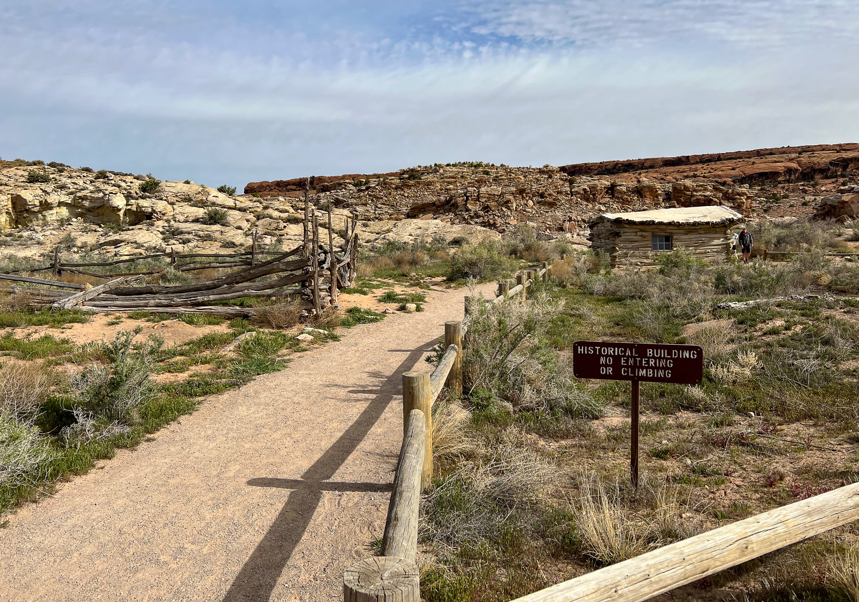
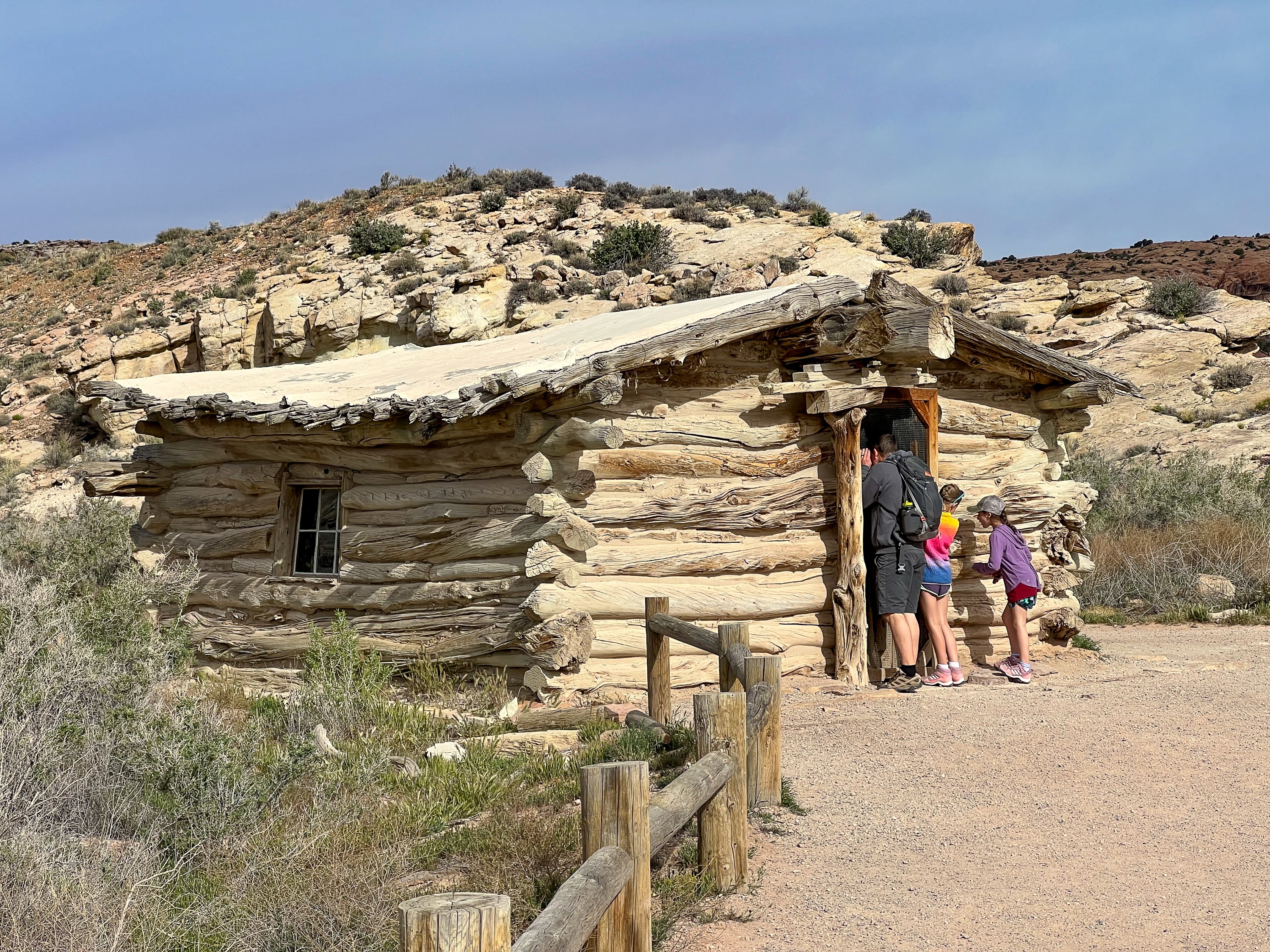
Wolfe Ranch Cabin
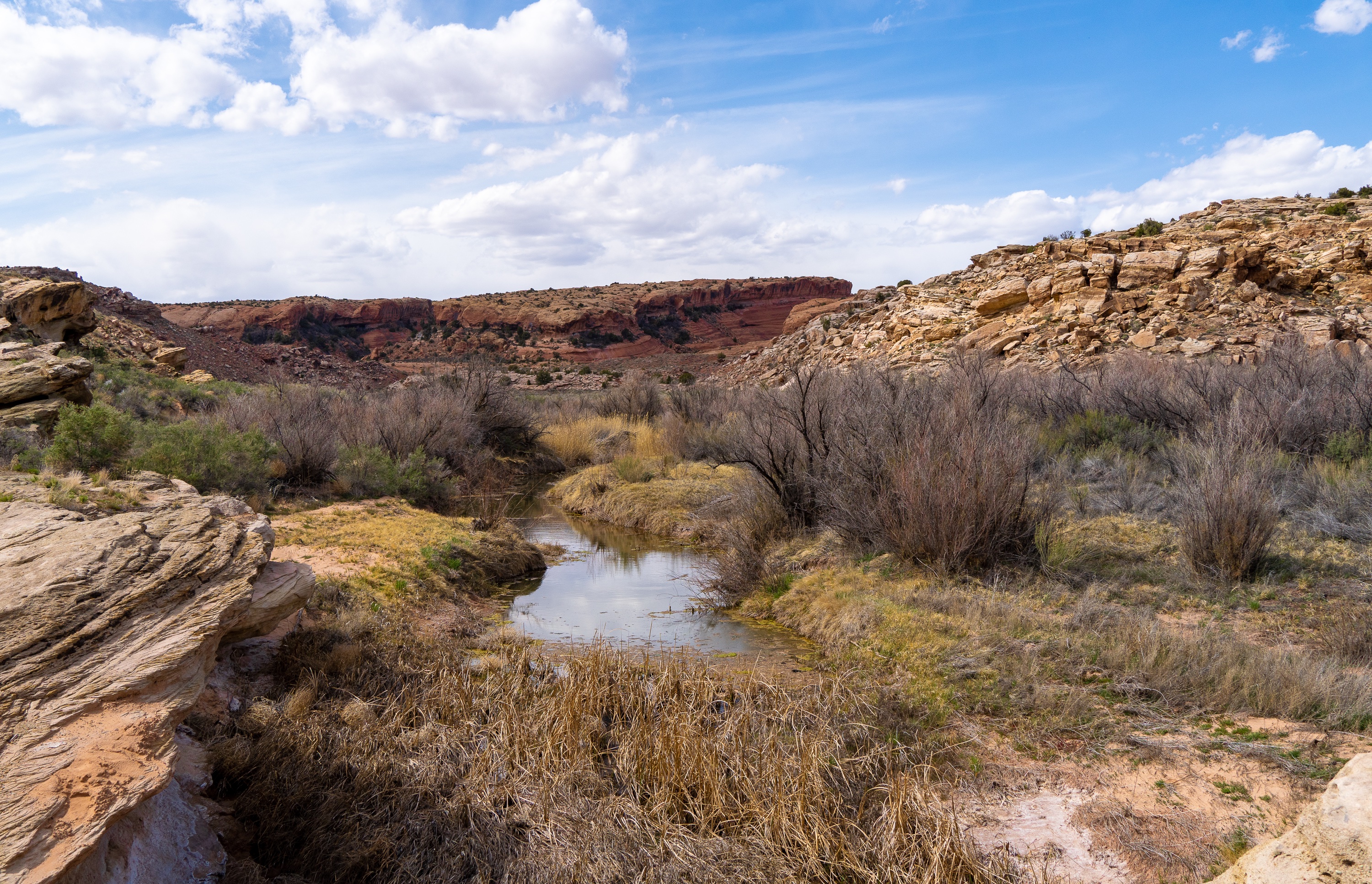
In 1898, a nagging leg injury from the Civil War prompted 69-year-old John Wesley Wolfe to leave his wife and three of his children in Etna, Ohio, and seek a drier climate. He brought his oldest son, Fred, with him, and the two settled a 100+-acre property along Salt Wash, just north of the village of Moab and close to a fresh water spring. For nearly a decade, they lived and worked alone on the remote “Bar DX” ranch, eventually grazing more than 1,000 head of cattle on native grasses that once covered this area.
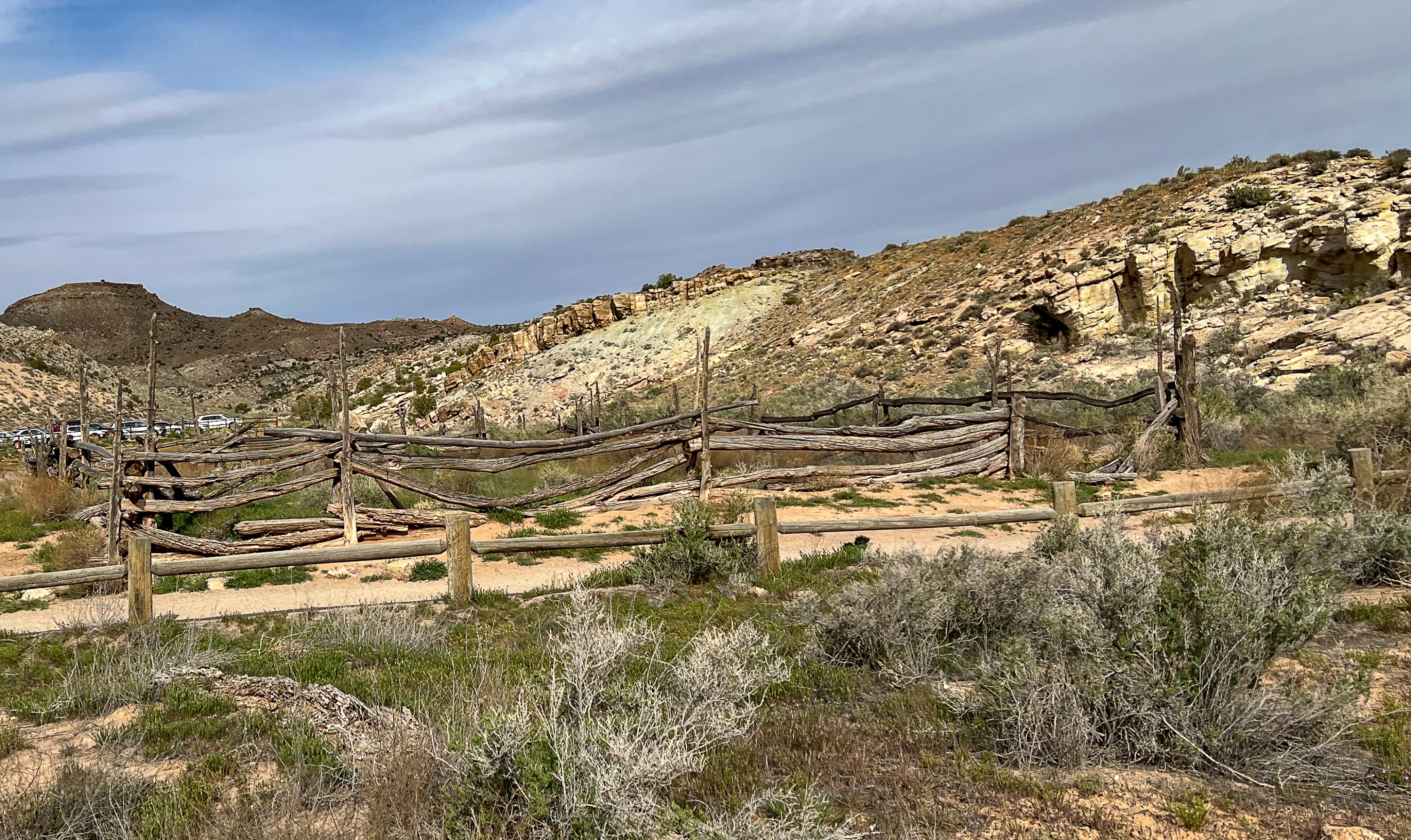
Wolfe Ranch
You’ll then cross the Salt Wash on a bridge.

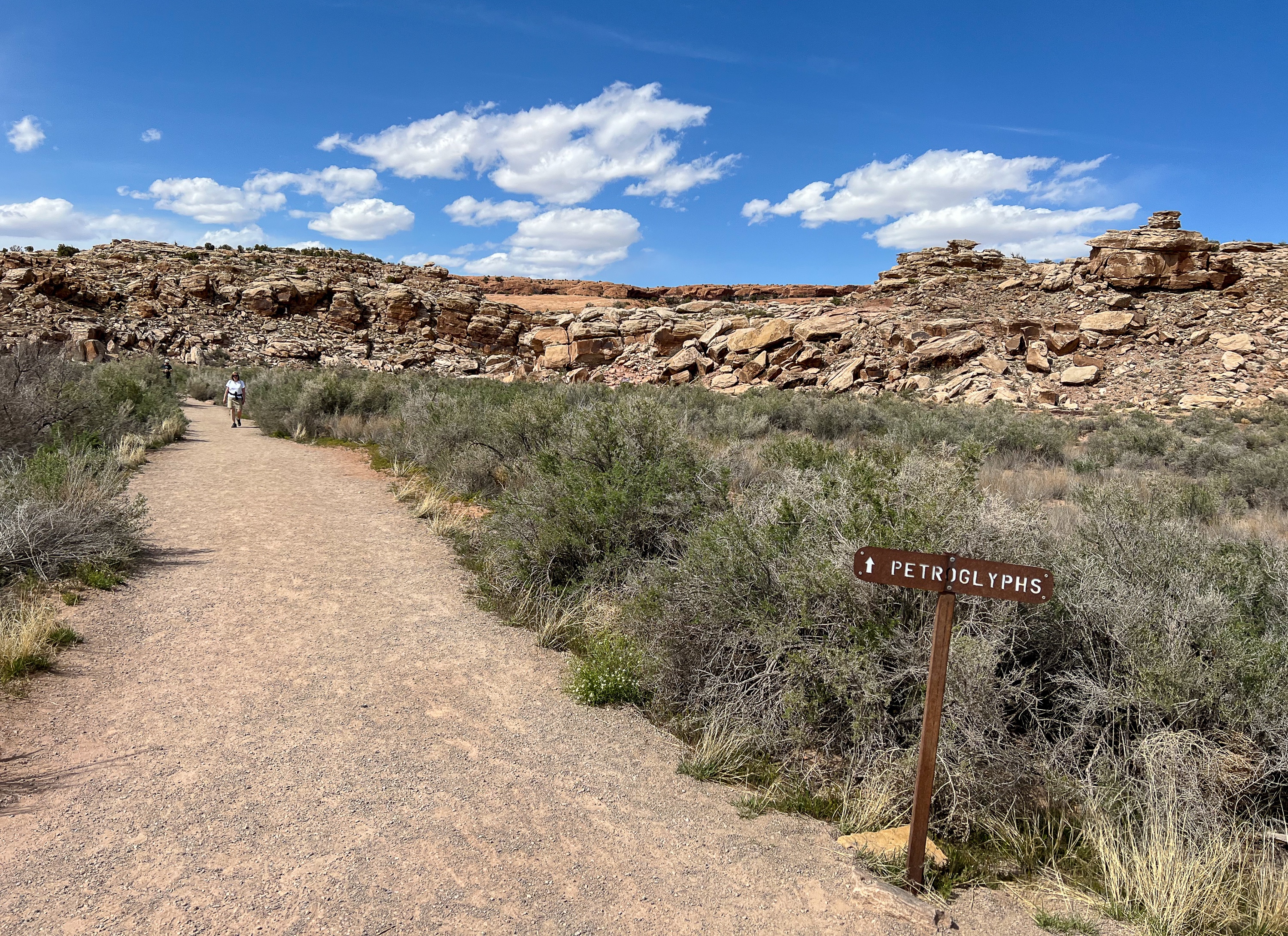
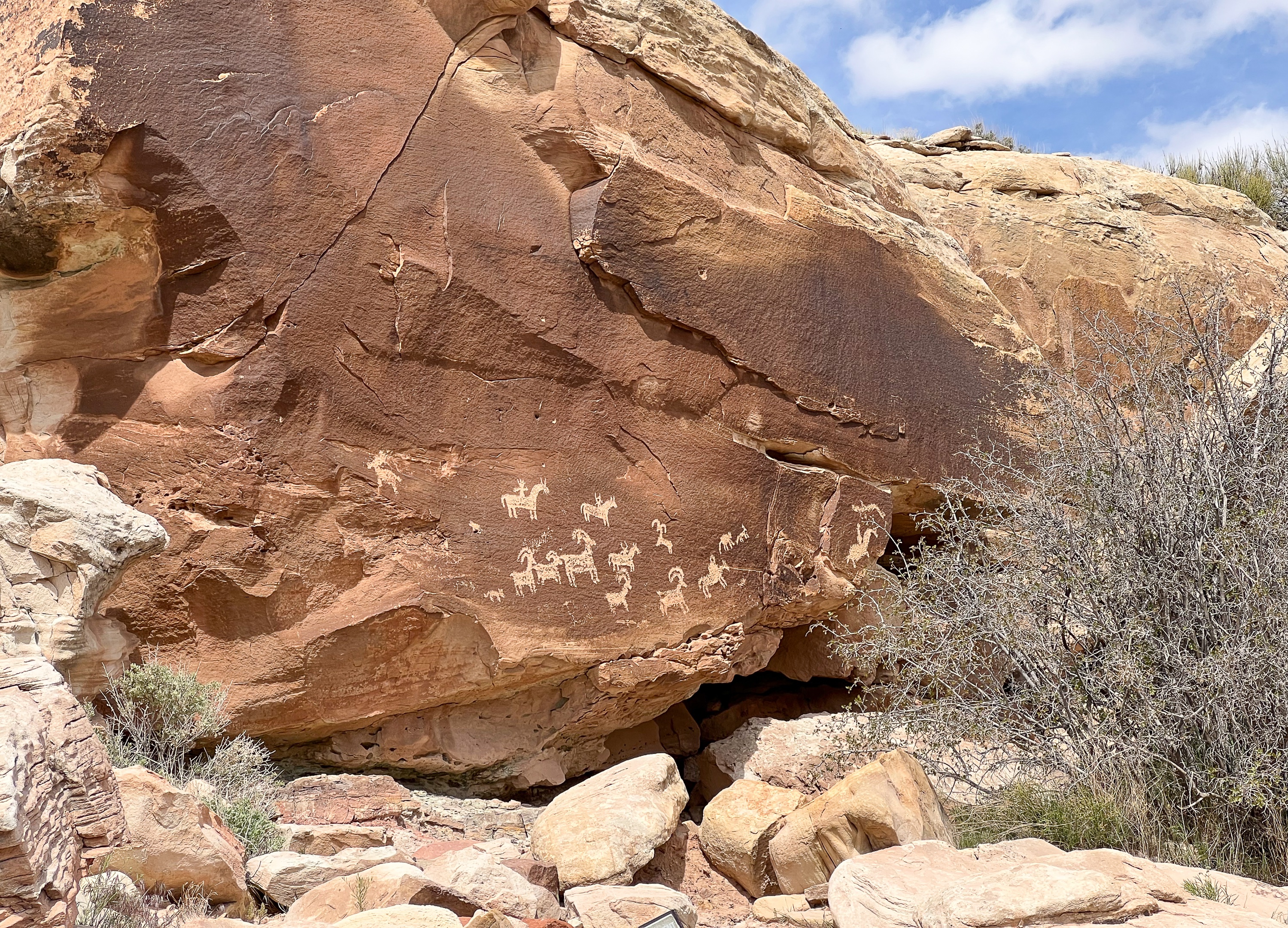
Ute Panel
Just after the bridge, a sign on your left points towards Petroglyphs. Follow this short side trail.
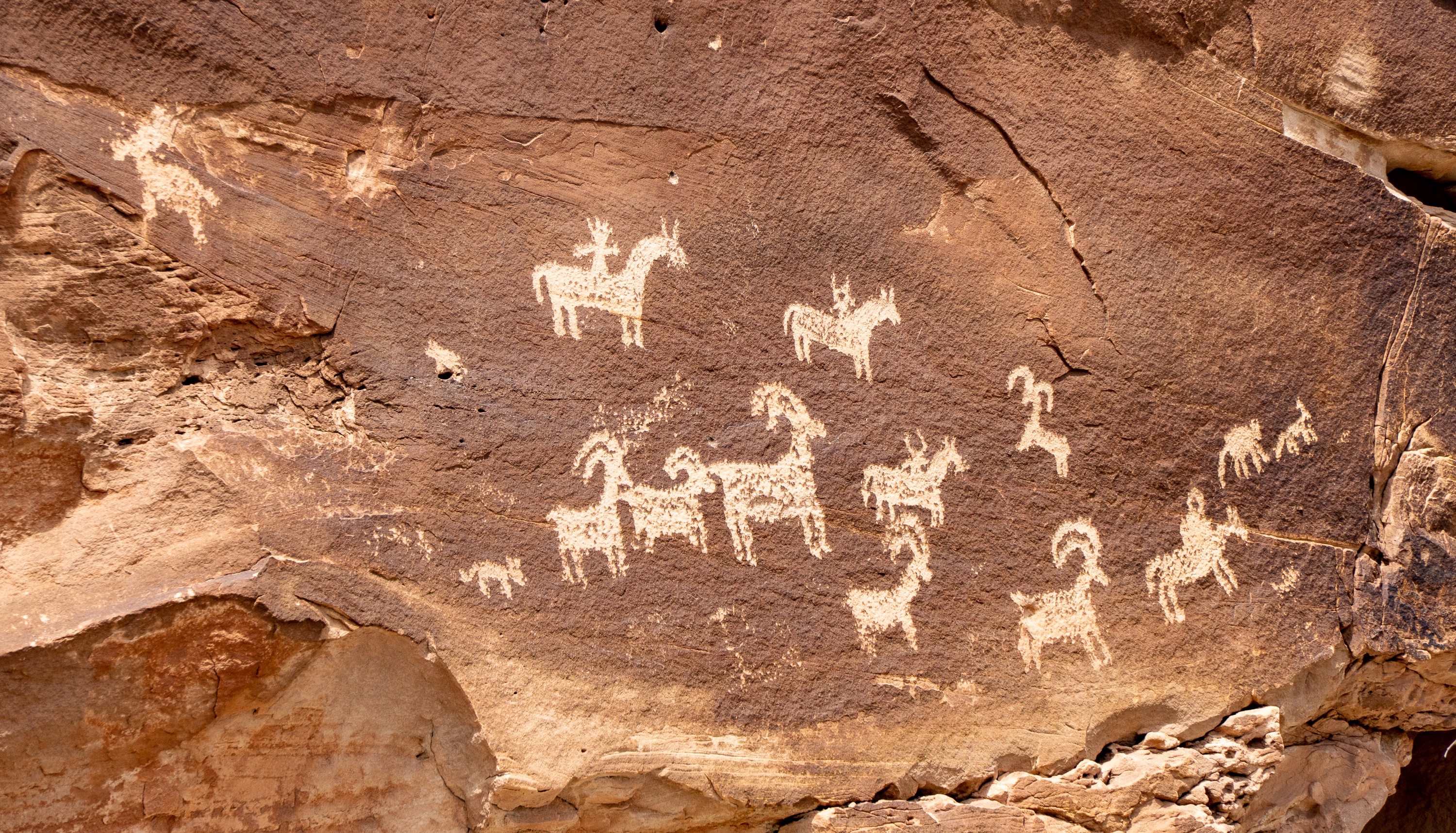
A short distance ahead on the rocks you’ll see two areas with petroglyphs, carved between A.D. 1650 and 1850. The stylized horse and rider surrounded by bighorn sheep and dog-like animals is typical of Ute rock art. Utah owes its name to the Ute Indians who moved into the area around A.D. 1300.

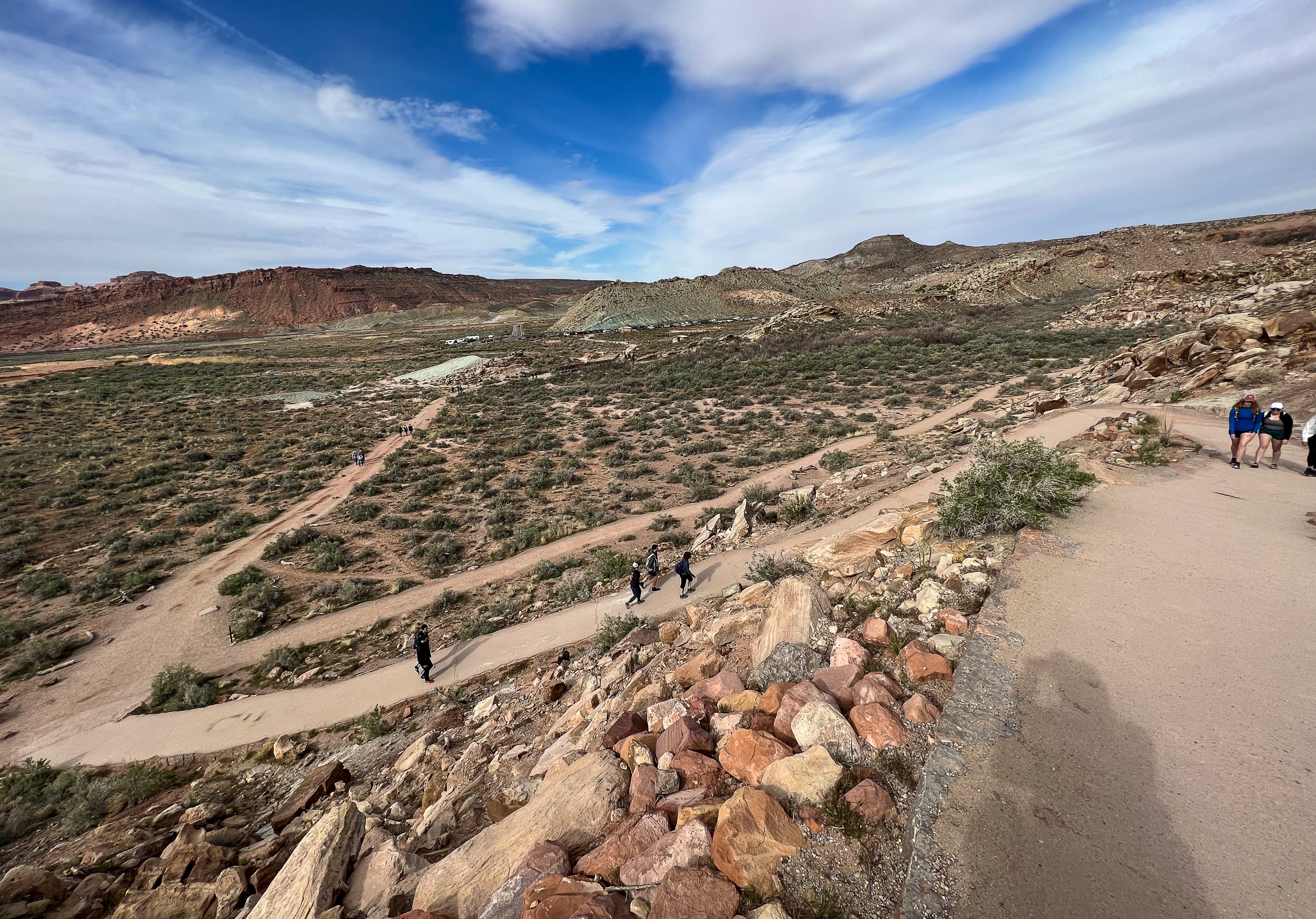
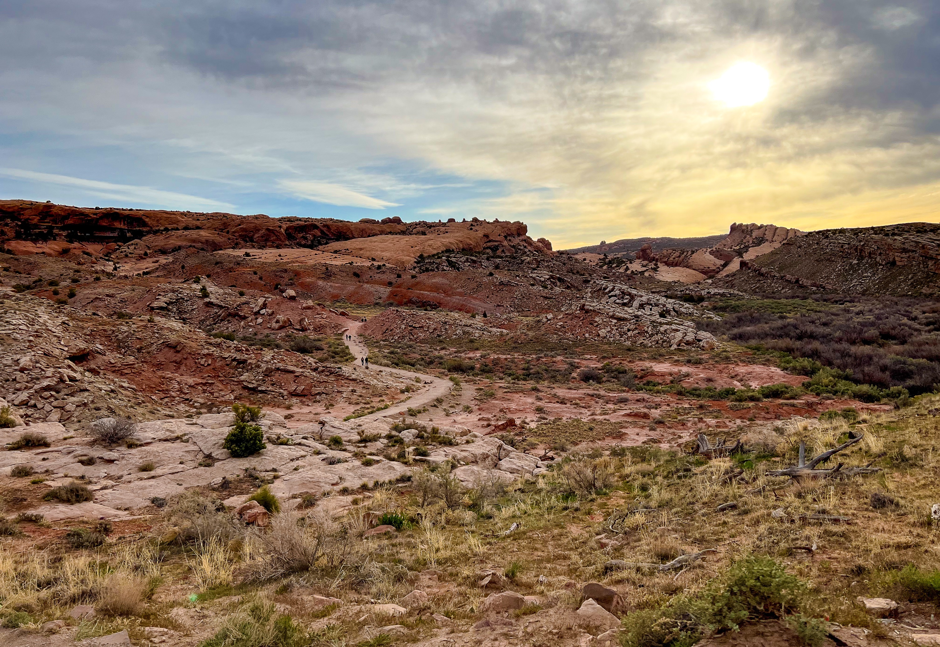
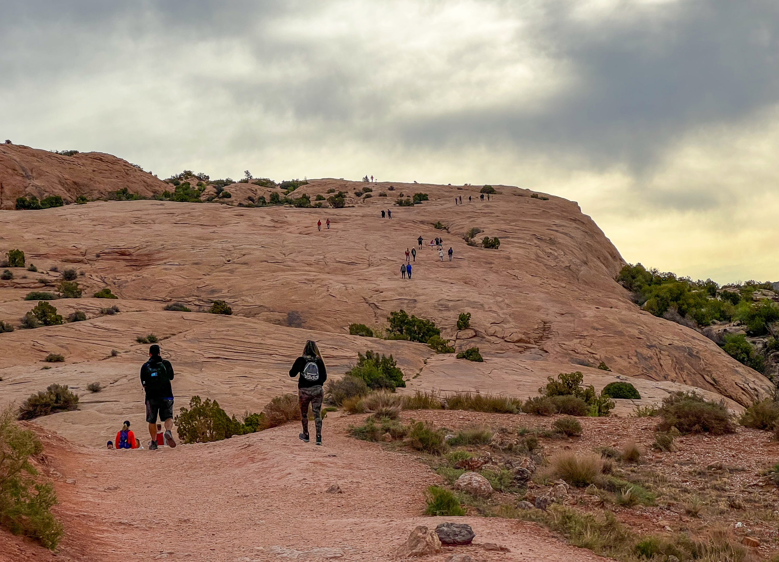
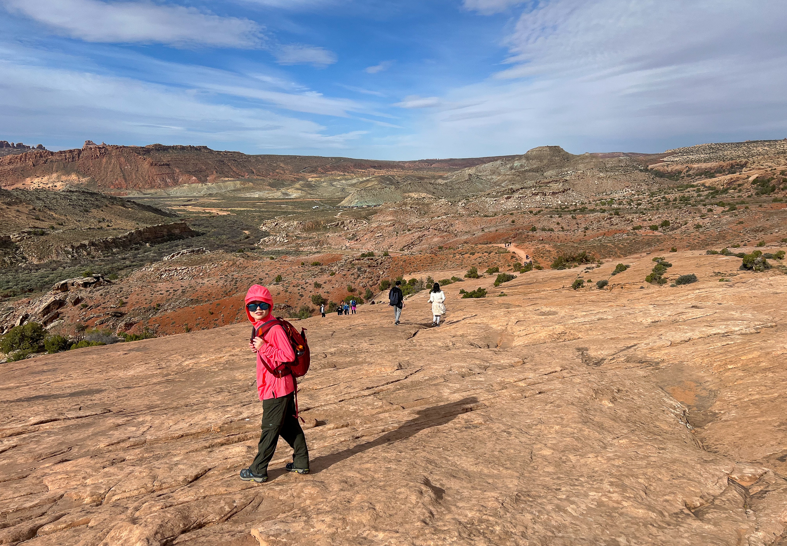
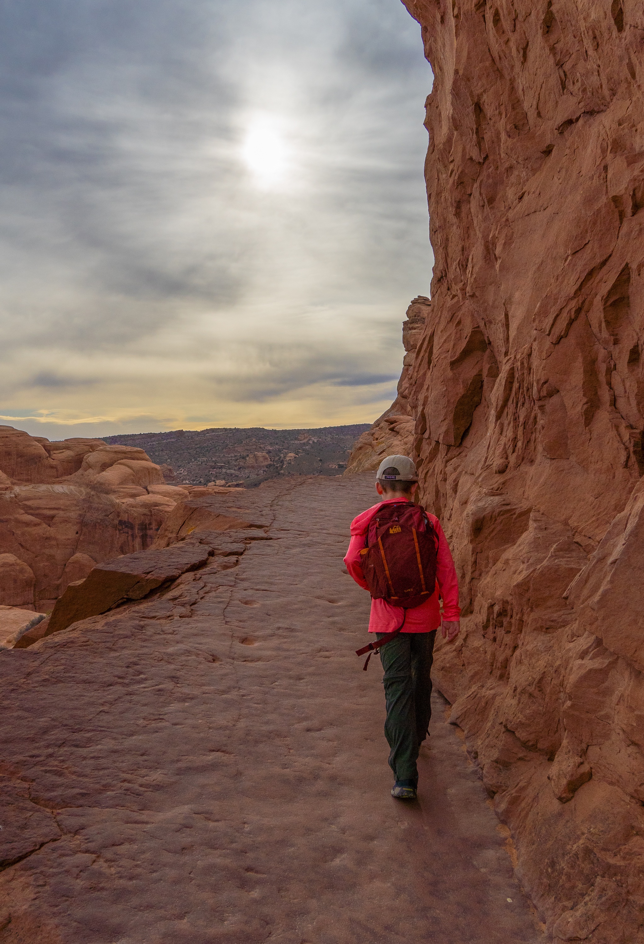
Continue to follow the side trail a short distance, as it now rejoins the main trail. For the next mile or so, the trail generally climb. At one point, it steeply climbs up an exposed, bare rockface. The trail is usually easy to follow.
As you near Delicate Arch, the trail begins to follow a ledge carved out of the side of the mountain, hugging a steep cliff.
Twisted Doughnut Arch
As you near the end of the hike, keep an eye up and to your right and look for an opening in the face of the wall.
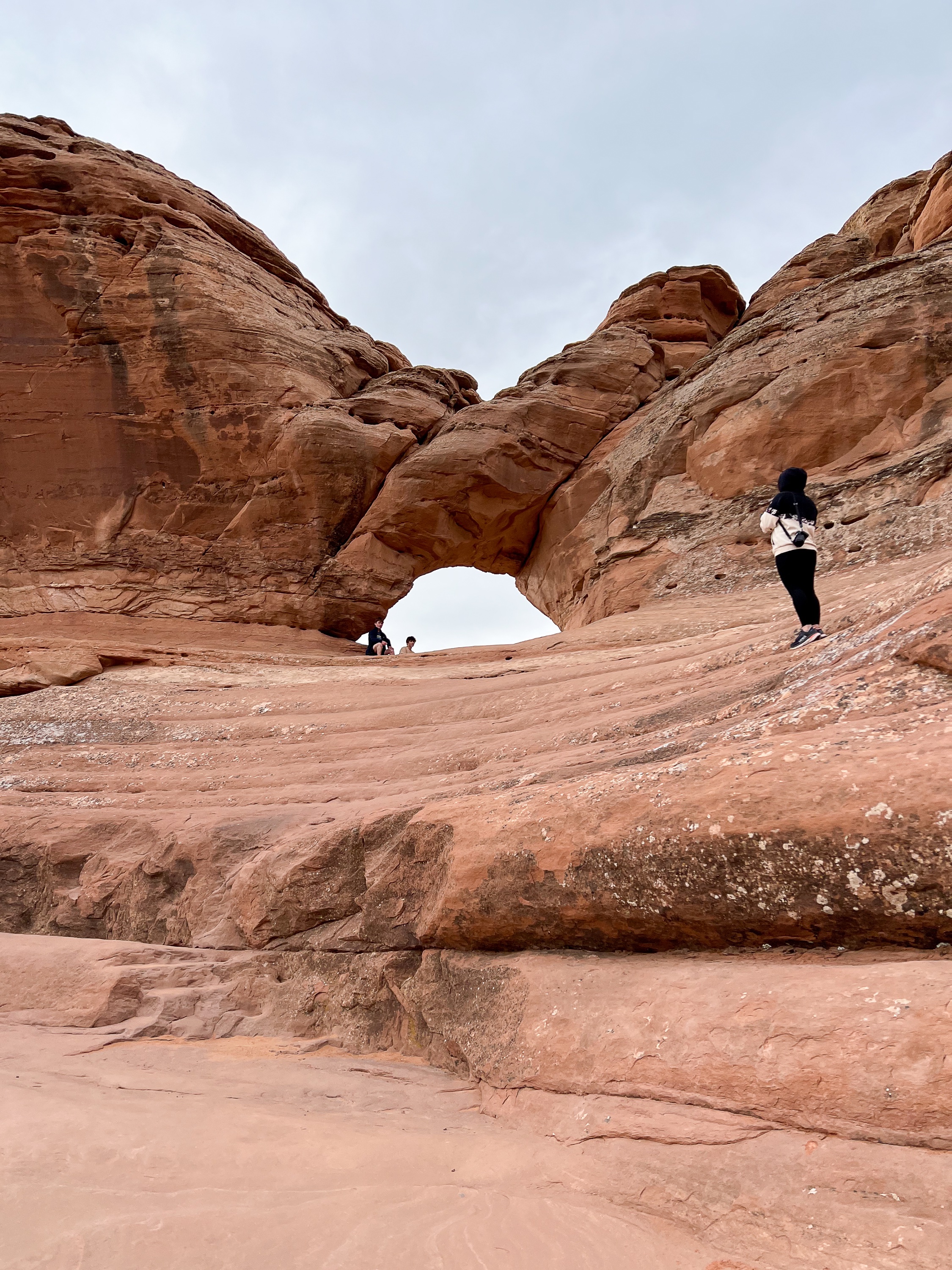
This is Twisted Doughnut Arch. To get a unique view of Delicate Arch framed by another arch, carefully walk up the rock face.
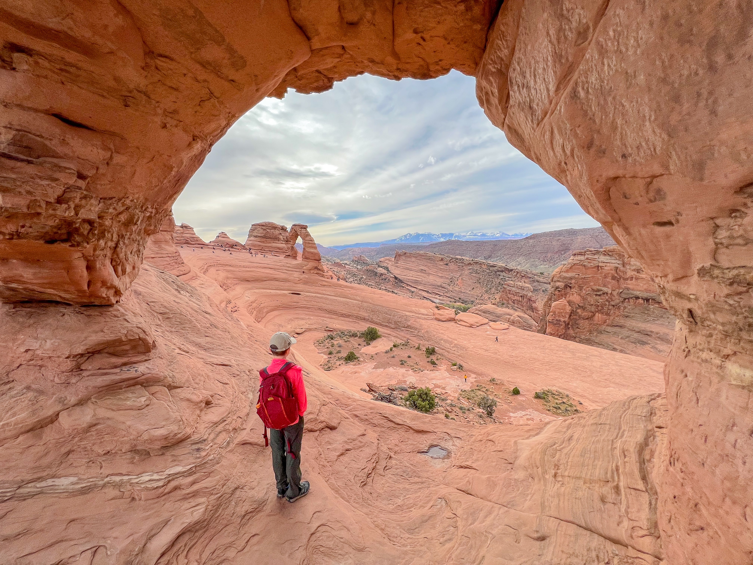
Eventually the trail wraps around a ledge carved out of the side of the mountain, hugging a steep cliff.
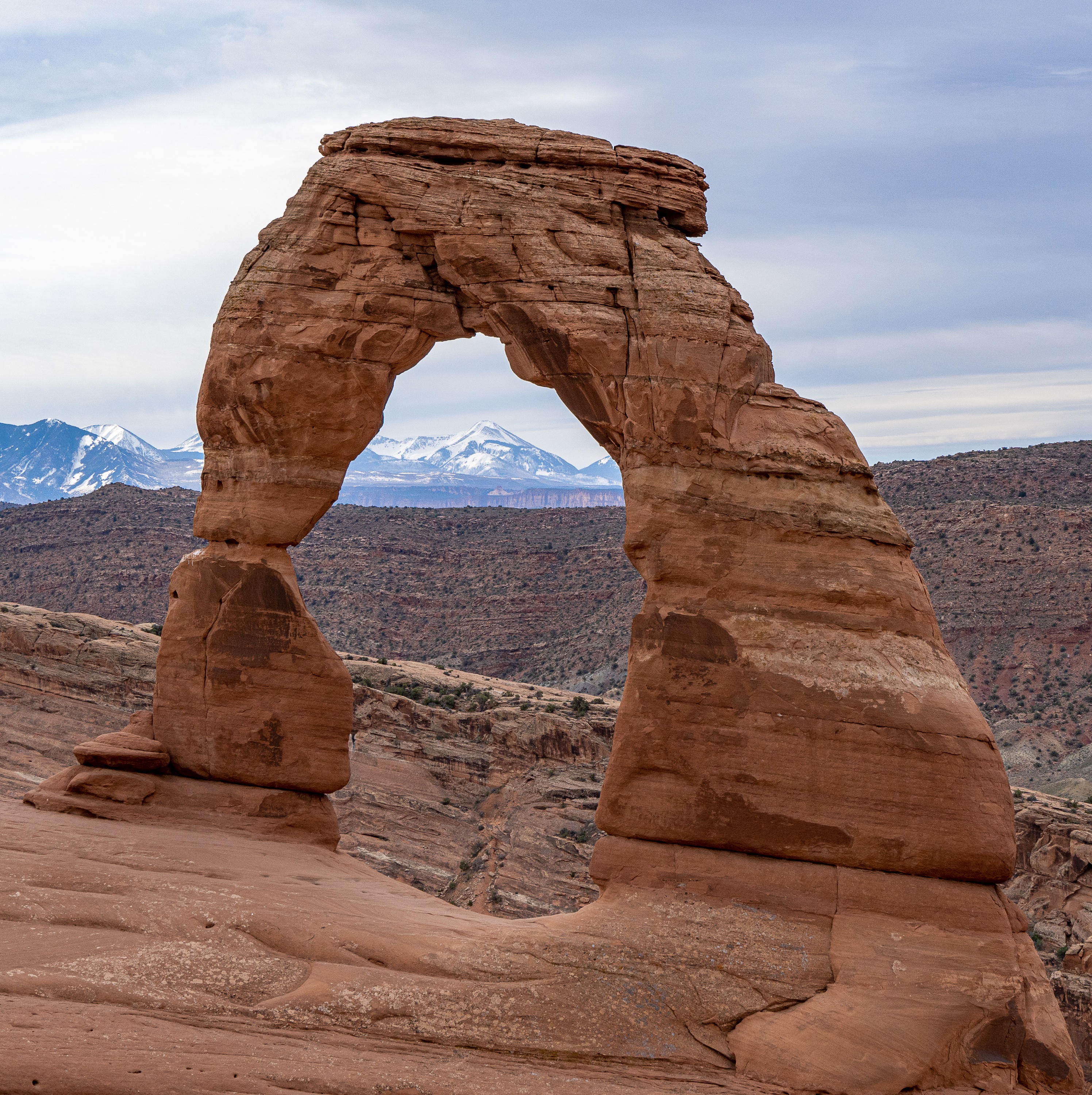
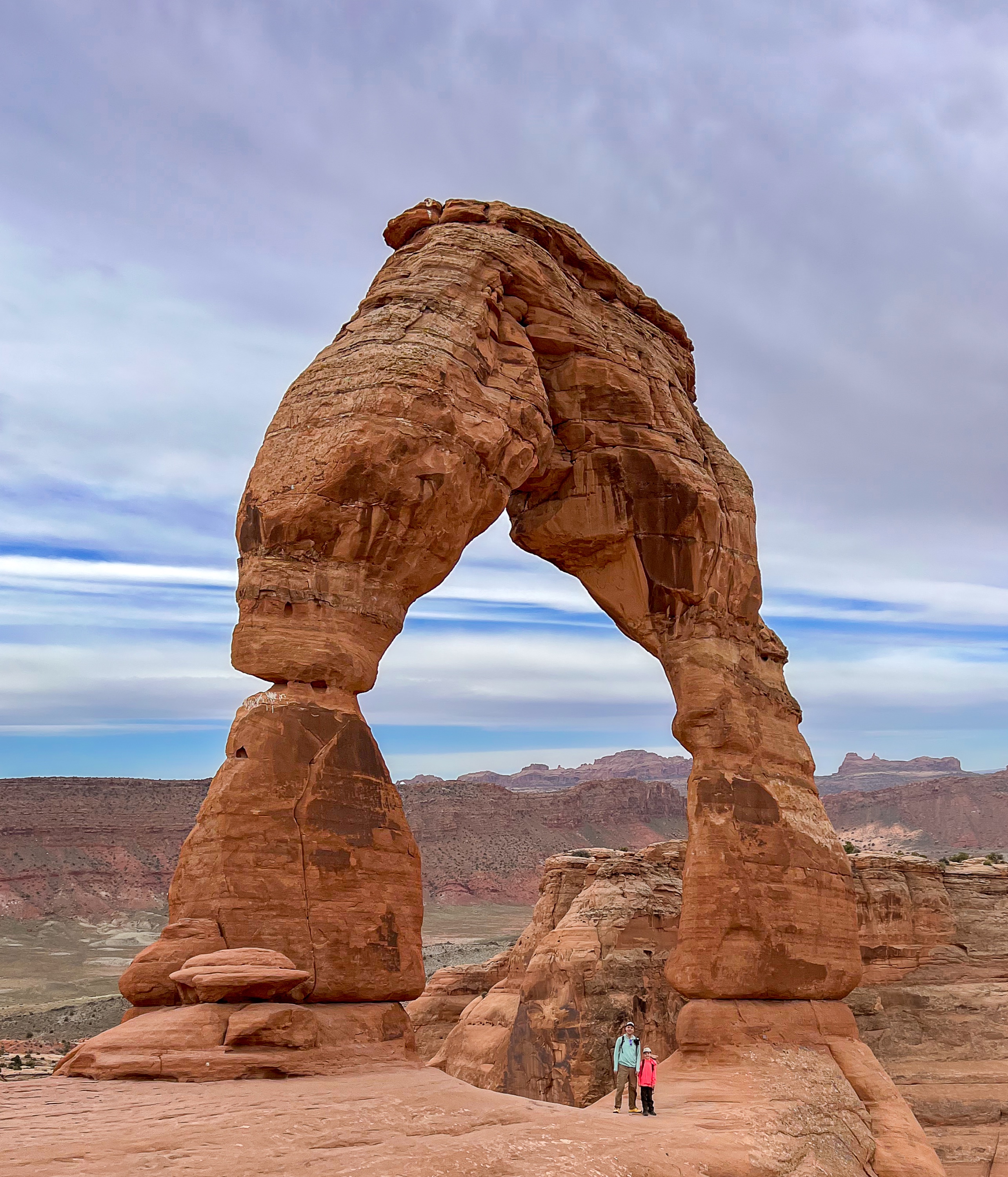
Delicate Arch
Around the corner, you’ll catch your first glimpse of Delicate Arch on the edge of its large sandstone bowl. The light opening beneath the arch is 46 feet high and 32 feet wide

Carefully walk around the steep rim of the bowl towards the arch. Depending on the time, there will very likely be a lot of people here, probably waiting in a line to get a photo under the arch. For the most part, people are patient and respectful and will take turns taking photos of each other.
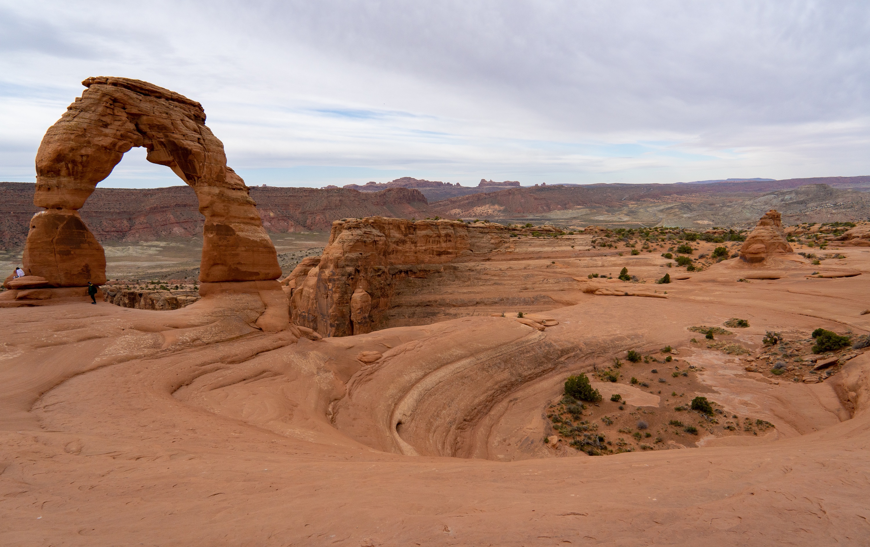
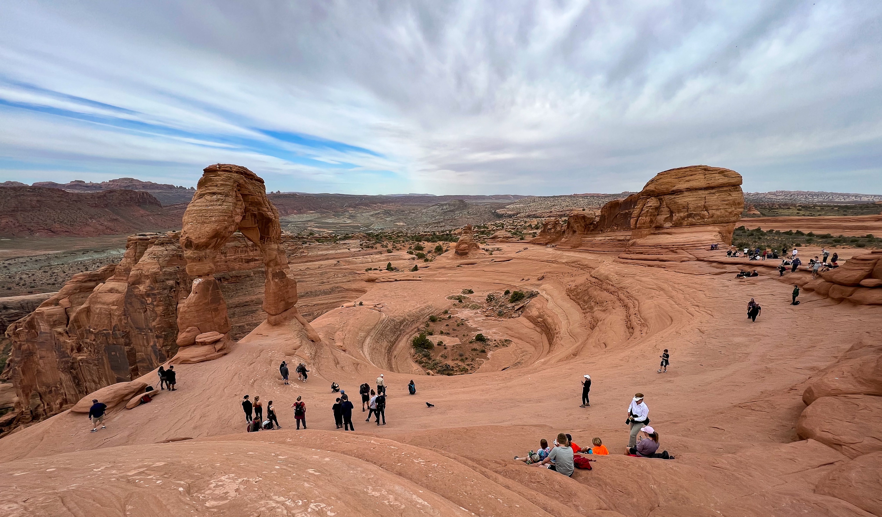
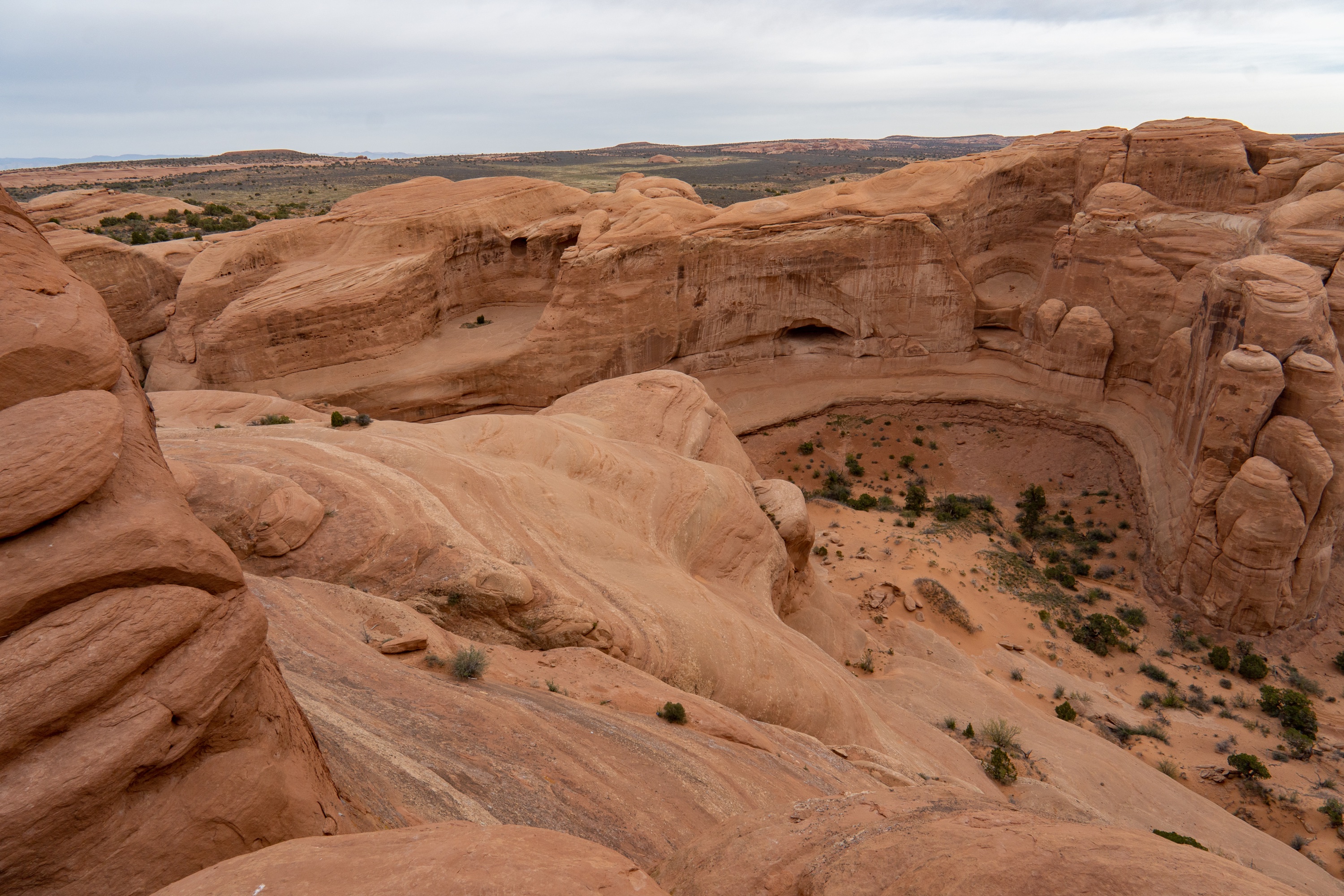
I assume most people will want to get a photo with the famous arch and turn around, but take some time to explore this area. Climb up on ledges surrounding the bowl and get a view in all directions. The canyons behind the arch and outside of its sandstone bowl are breathtaking and impressive in their own right.
When you’re done exploring, just retrace your steps back to the parking lot.


