Overview
A relatively easy hike to the summit of Copperas Mountain, with great views overlooking the Charlotteburg Reservoir and Jersey Highlands.
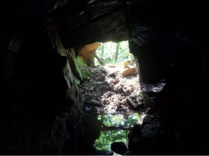
Copperas? The mountain is named for “copperas” an older name for ferrous sulfate. The Copperas Mine is located on the eastern base of the mountain.
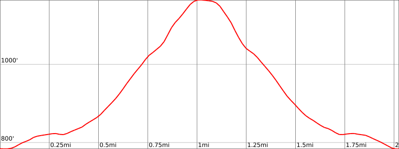
Length: 2.0 miles
Elevation gain: +386 feet
Location: Pequannock Watershed, Rockaway Township, Morris County, NJ
Copperas Mine History
Copperas Mine is located on the east base of Copperas Mountain, near the head of Timber Brook, on the west side of the road between Newfoundland and Split Rock Pond. (photos)
Located within what was once one of the most important iron mining districts, the Copperas Mine was worked for its namesake, copperas, or ferrous sulfate. During the Revolutionary War, the notable iron master Job Allen manufactured copperas on the site. Later during the War of 1812, the mine was under the direction of Dr. Charles Graham for the purpose of producing copperas and red paint for the war. After the war ended, the mine was therefore abandoned.
In February of 1880, Cooper and Hewitt acquired the mineral rights as well as those of nearby mines in the vicinity for a sum of $50,000. With a spur of the Charlotteburg and Green Lake Railroad now leading directly to the Copperas Mine, Cooper and Hewitt began shipping its product by rail.
By March of 1880, 40 carloads per day were being shipped via railroad from the Copperas, Charlotteburg, and Davenport mines collectively. However, the shipments soon decreased and the mine was permanently abandoned.
Although magnetite was present at the mine, it was mixed with pyrite and not known to have been worked. Perhaps it was either not feasible or uneconomical to roast the iron ore of its sulfur content. The mine consisted of short adits driven into the hillside, shafts, as well as open cut workings. The mine has been reclaimed to a small extent in recent years, but it is otherwise relatively preserved. In particular, one feature consisting of an adit leading to a stope open to the surface has been entirely backfilled.
Iron Miners
Copperas Mountain Parking
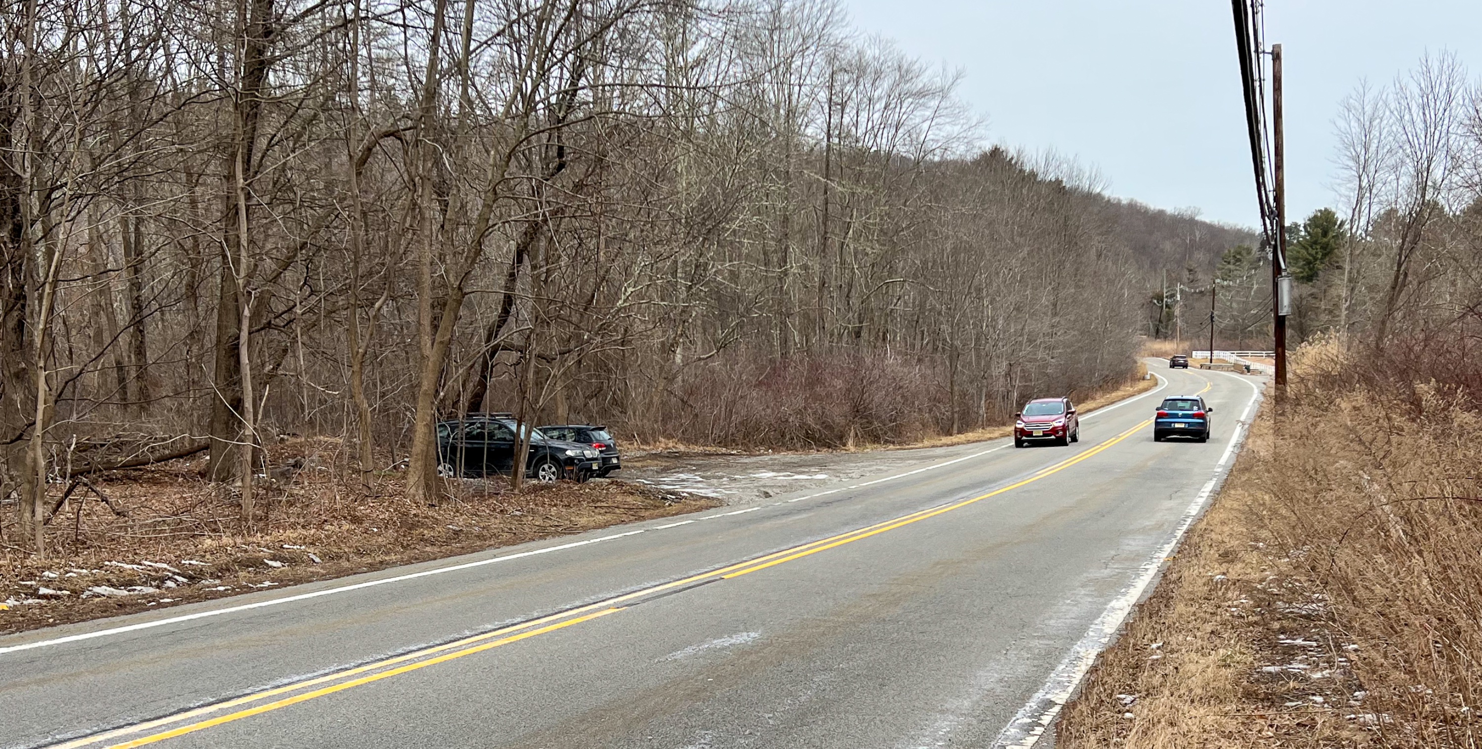
Park in the shoulder lot on the west side of Green Pond Road (CR 513). Google maps link. If you need an address for your GPS, it’s a little bit south of 1191 Green Pond Road.
Copperas Mountain Maps
- Morris County Highlands Trails Map – NY-NJ Trail Conference (print)
- Jersey Highlands Trails Map – NY-NJ Trail Conference (Avenza)
Copperas Mountain Trail description
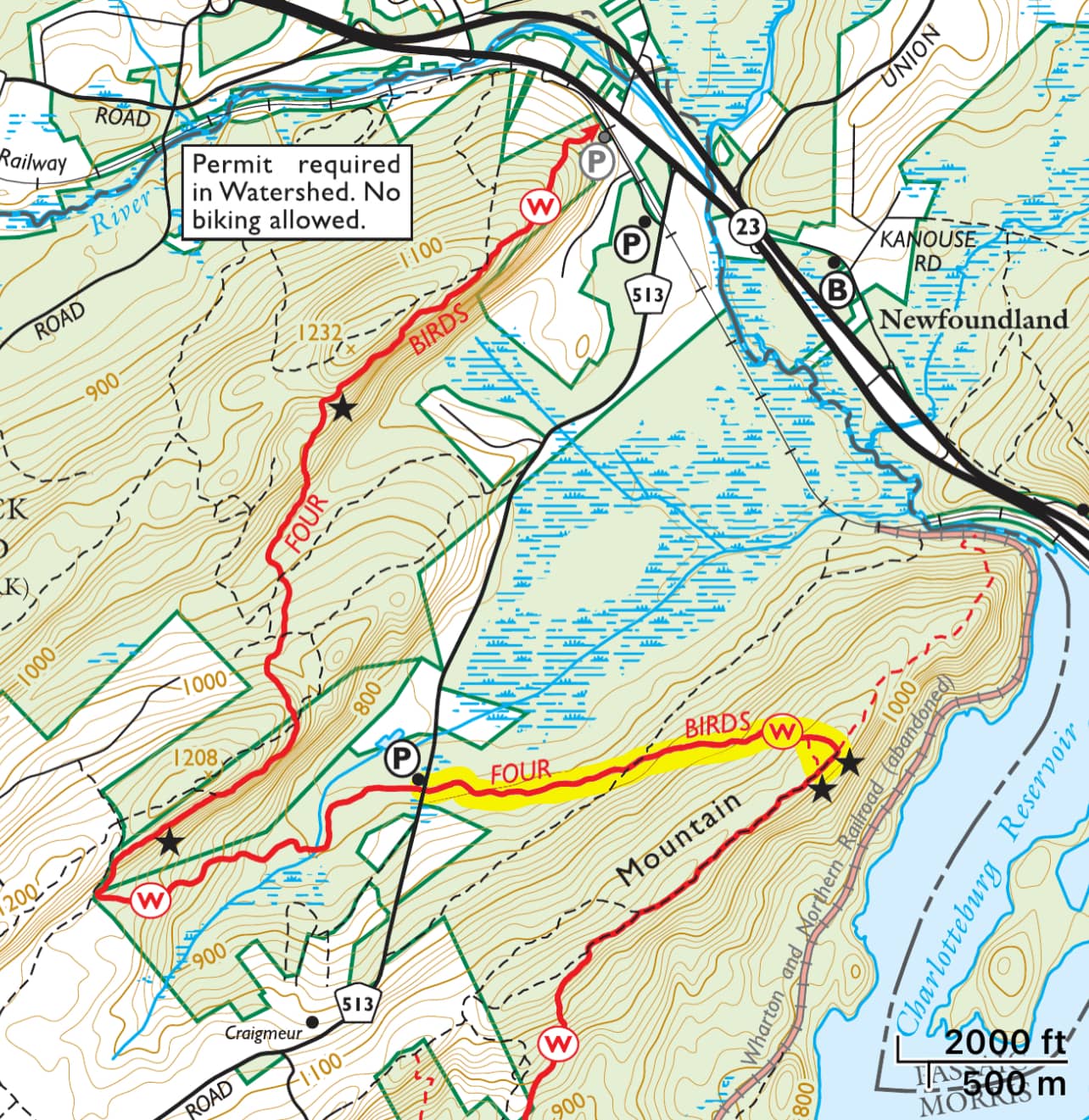
From the parking lot, cross the street and head south a short distance to find the white-blazed Four Birds Trail. Enter the woods and immediately you’ll reach a kiosk on your left.

The trail begins to climb gently, crossing some small creeks. The trail gradually becomes steeper as it continues to climb the west side of the mountain. About half way up, you’ll pass an unmarked woods road on the left. Unfortunately, there is a lot of ATV use in the area which has significantly damaged the trail in areas and also created unofficial trails which can create confusion. Follow the blazes carefully.
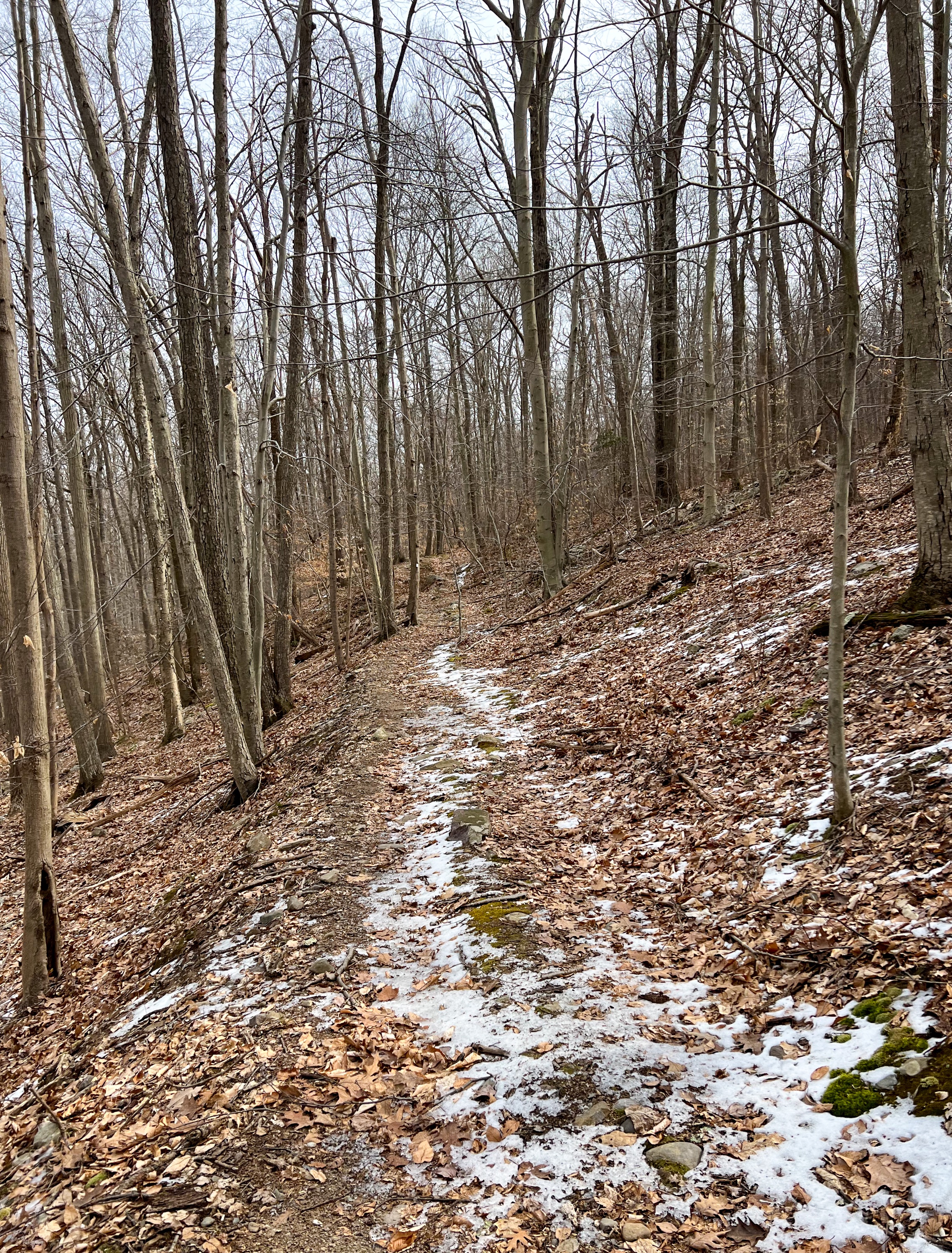
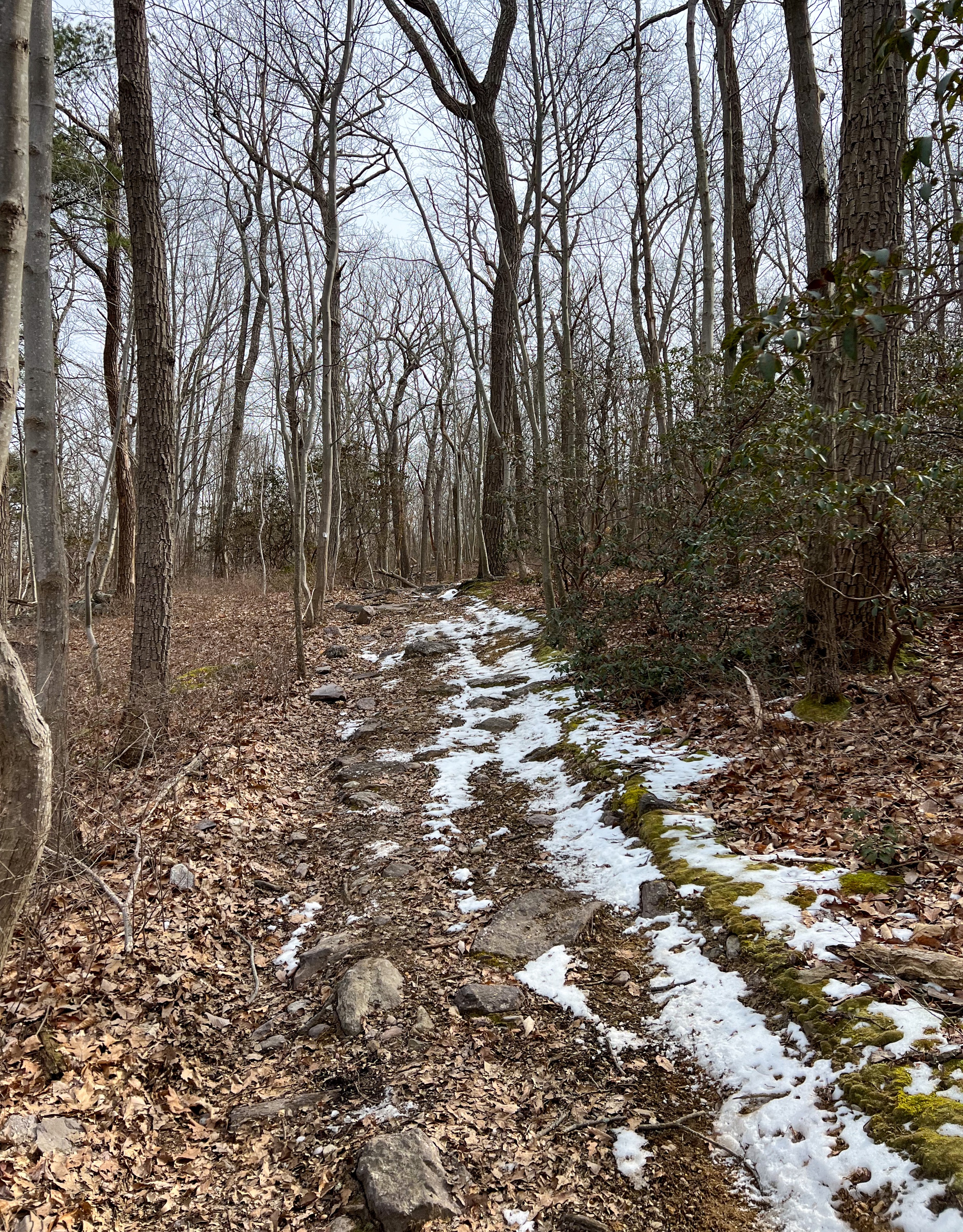
After almost a mile, the trail reaches the ridge of the mountain.


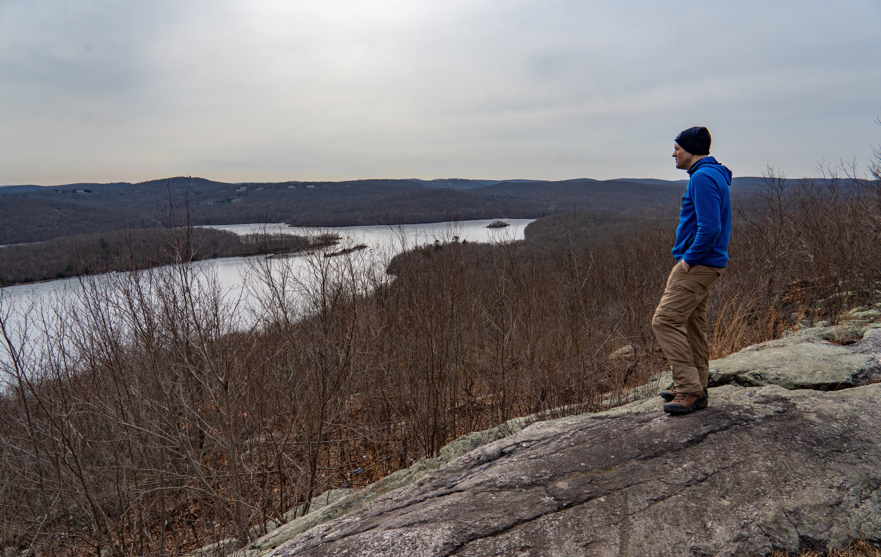
Make a right when you reach the ridge and head down the trail a very short distance to your first viewpoint on the left, especially when the leaves are down. Ahead of you is the Charlotteburg Reservoir and the Jersey Highlands.
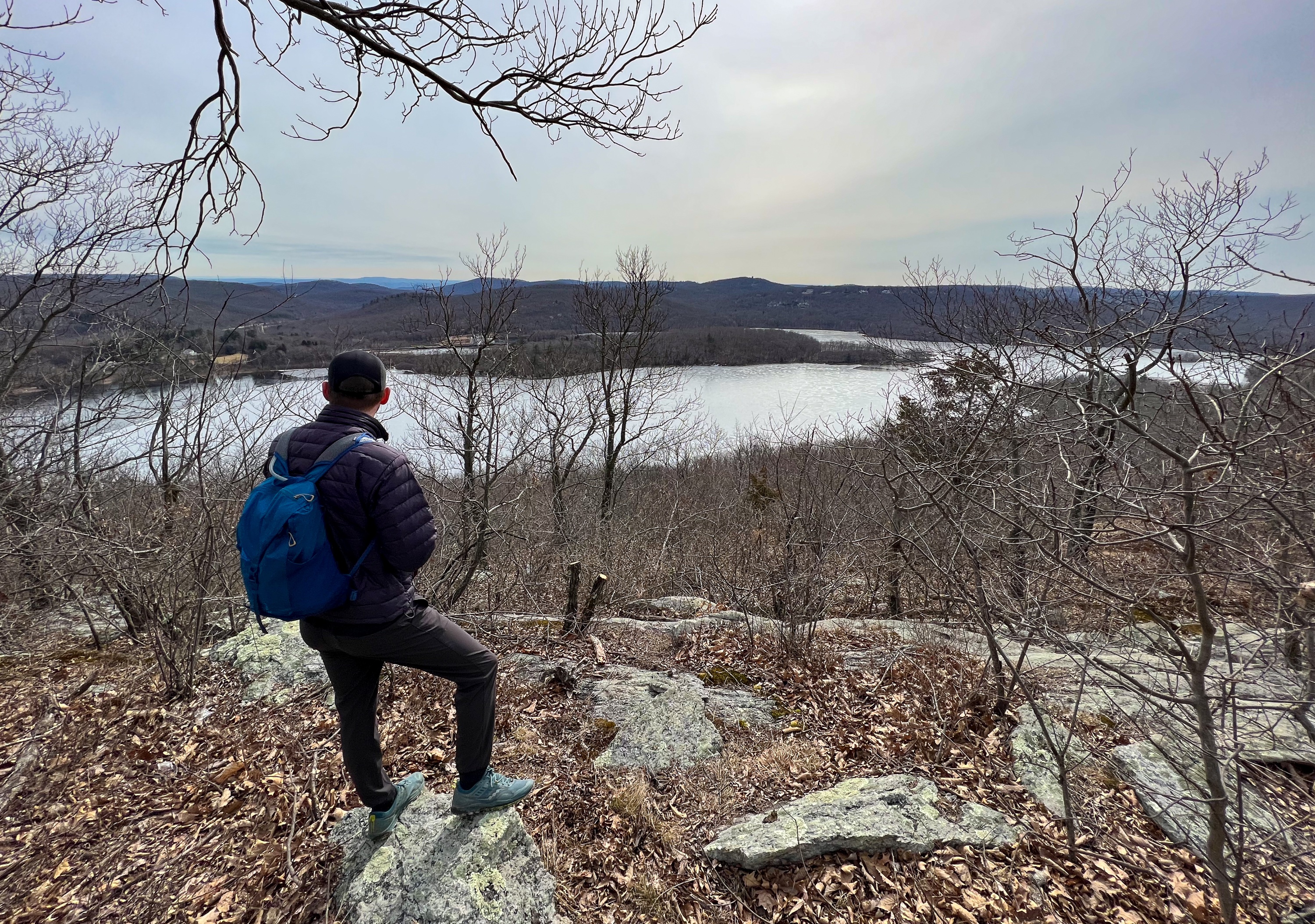
Return to the trail and continue south just a few hundred feet.
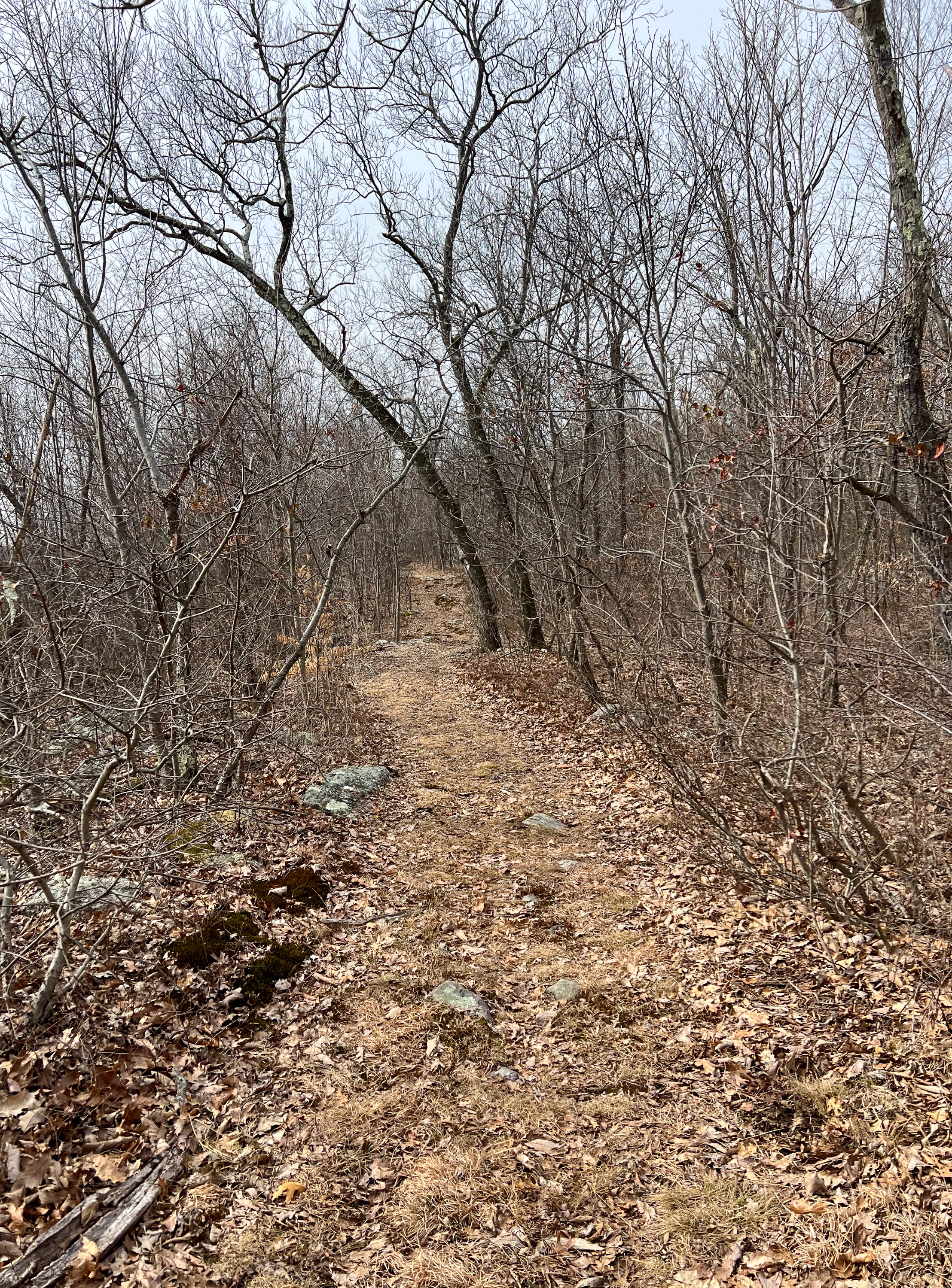
You’ll soon see an opening on your left – an area heavily impacted from ATVs which are driven up to this viewpoint.
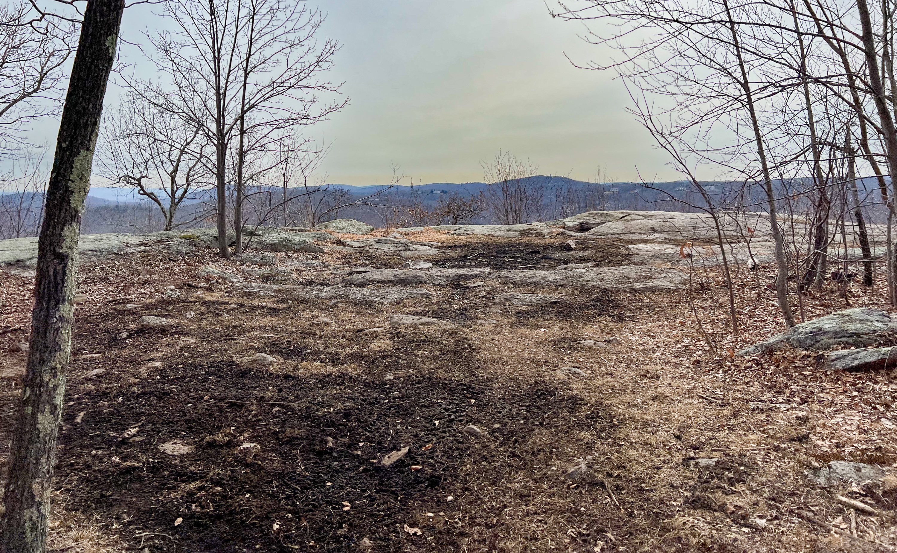

You’ve reached the second – and better – viewpoint.
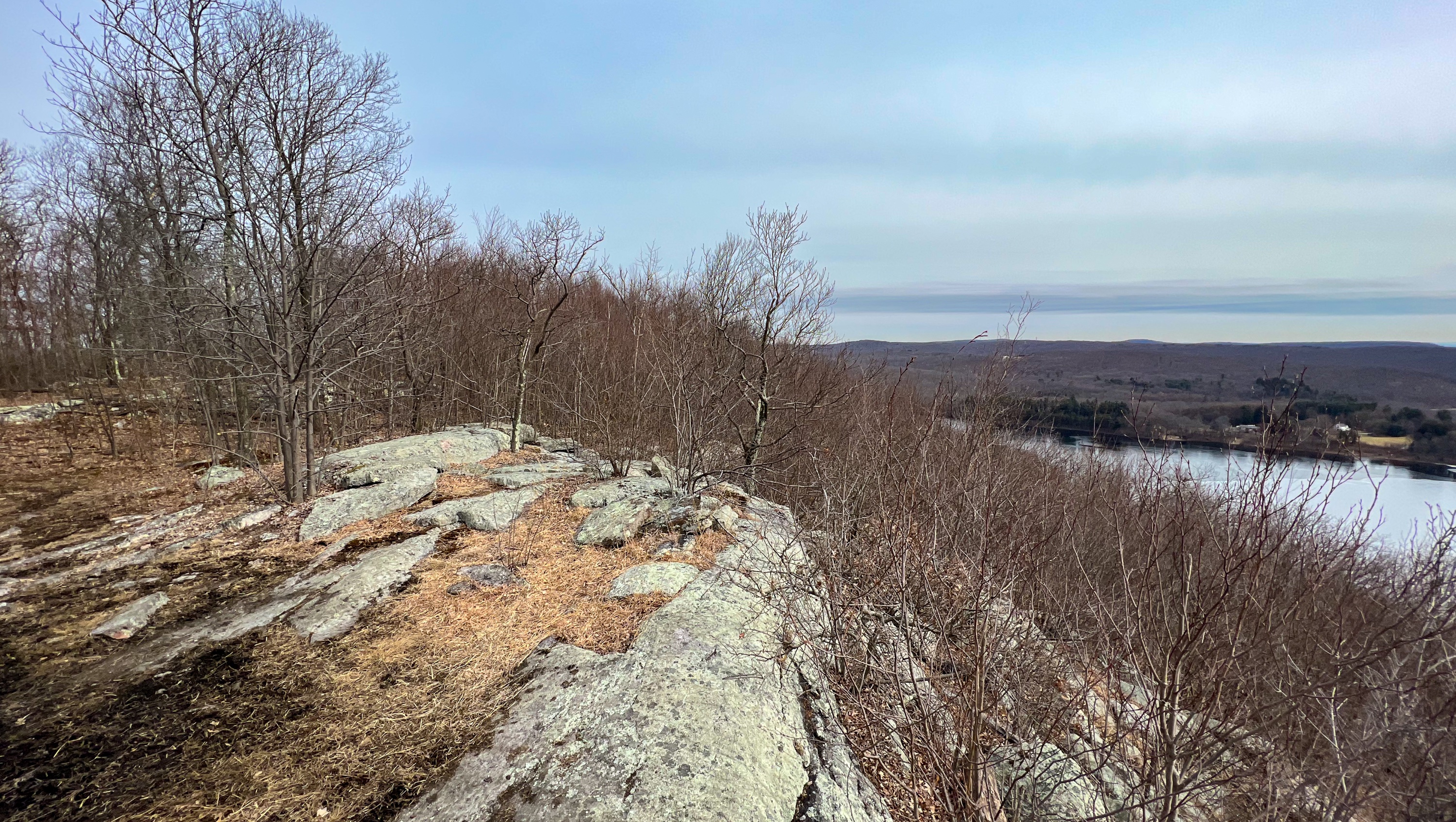
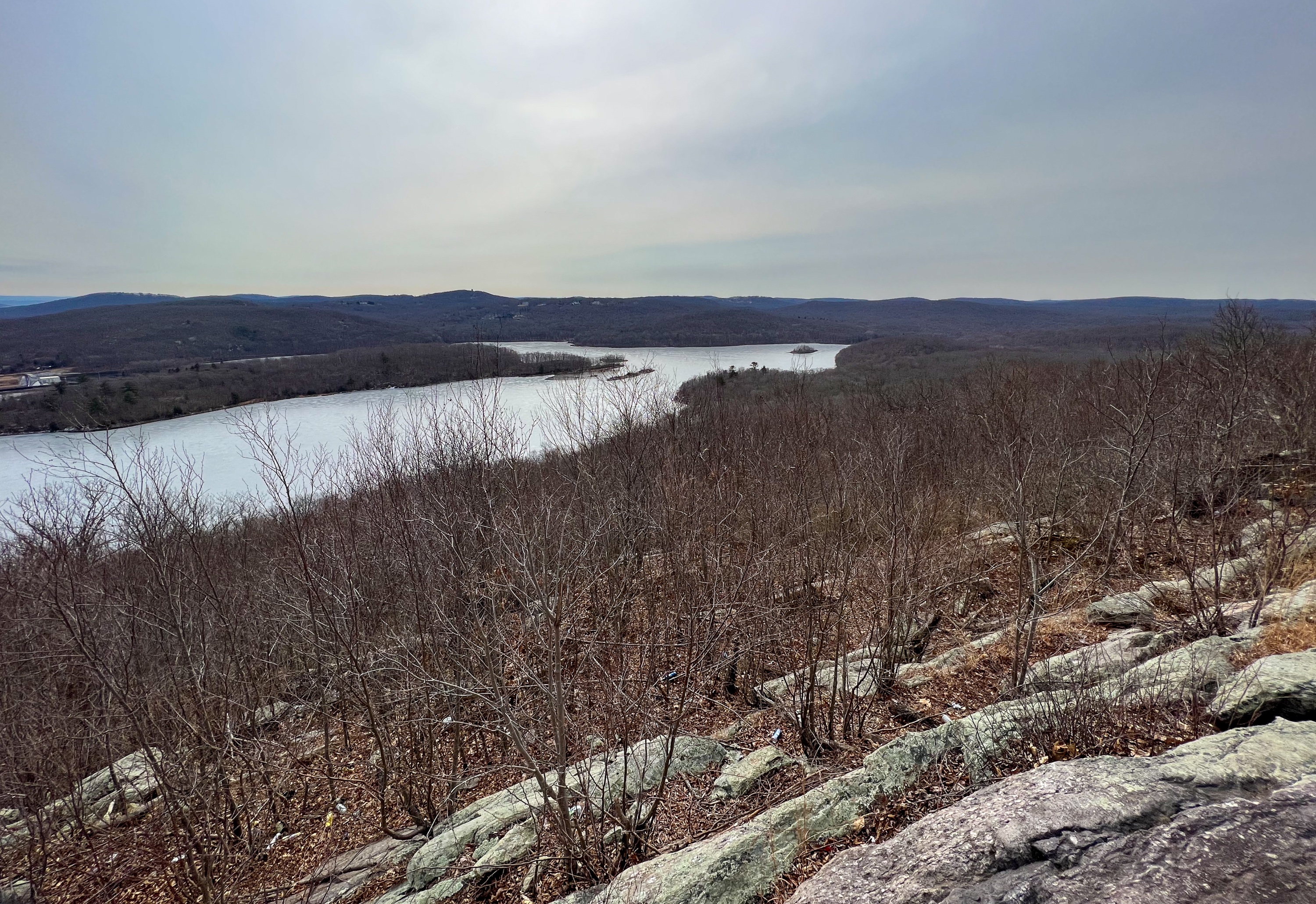
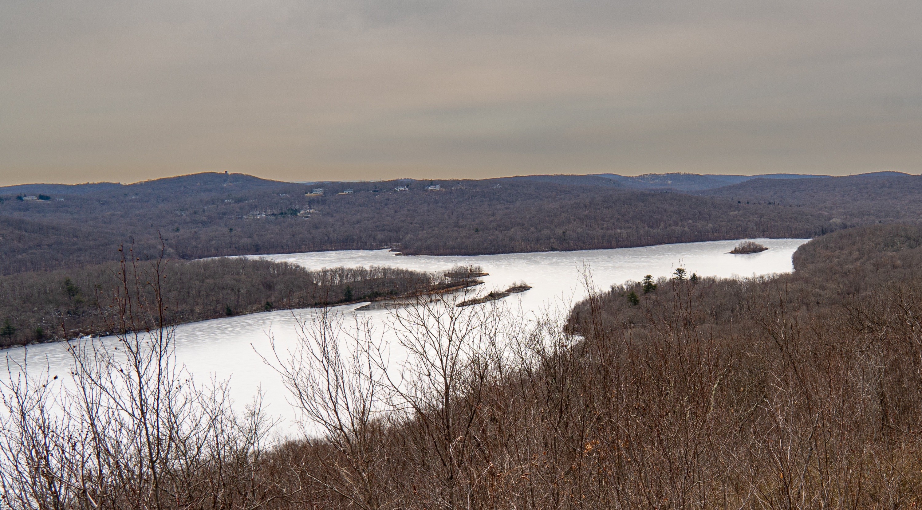
When you’re done enjoying the view, turn around and head back towards the trail. Continue straight ahead now onto a woods road – the one used by the ATVs – to make your way back. In a tenth of a mile, the trail rejoins the white-blazed Four Birds Trail. Continue down the rest of the way to Green Pond Road, paying careful attention to follow the blazes.

