Overview
This loop hike features panoramic views from Catfish Fire Tower, ridgeline views along the Appalachian Trail, a pond with beaver activity, and rhododendron tunnels along Rattlesnake Swamp Trail.
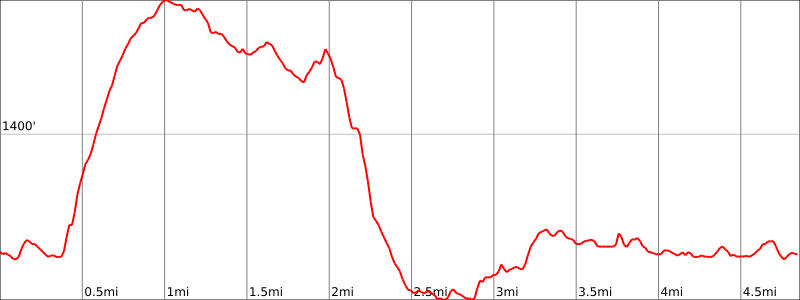
Hike Length: 4.9 miles
Elevation gain: +660 feet
Location: Delaware Water Gap National Recreation Area, Hardwick Township, NJ
Parking:
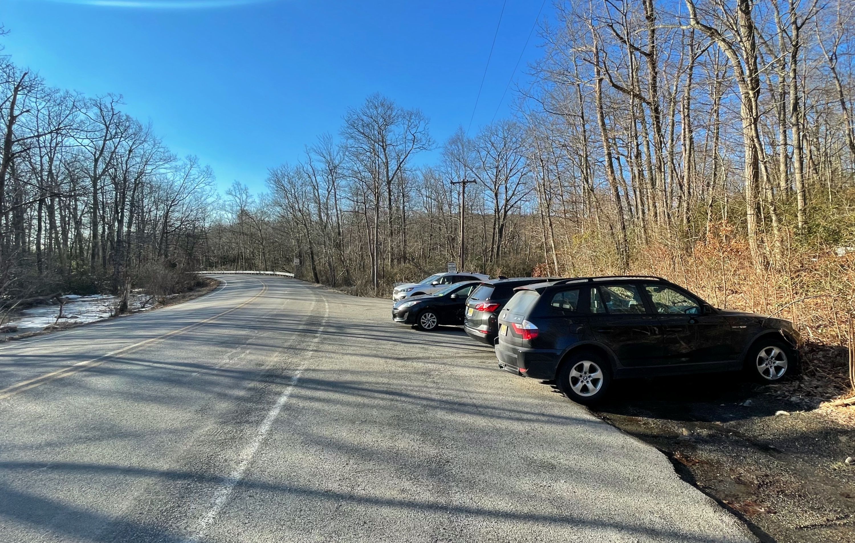
Park on the shoulder of Millbrook Road where it intersects the Appalachian Trail (Google maps location). Do not block the fire road gate. If the parking area is full, there is another parking area just to the north on the east side of the street where the Appalachian Trail continues.
Maps

- Delaware Water Gap & Kittatinny Trails Map #121, NY-NJ Trail Conference (print)
- Delaware Water Gap & Kittatinny Trails Map #121, NY-NJ Trail Conference (Avenza)
- Appalachian Trail: Delaware Water Gap to Schaghticoke Mountain Map, National Geographic
Trail description
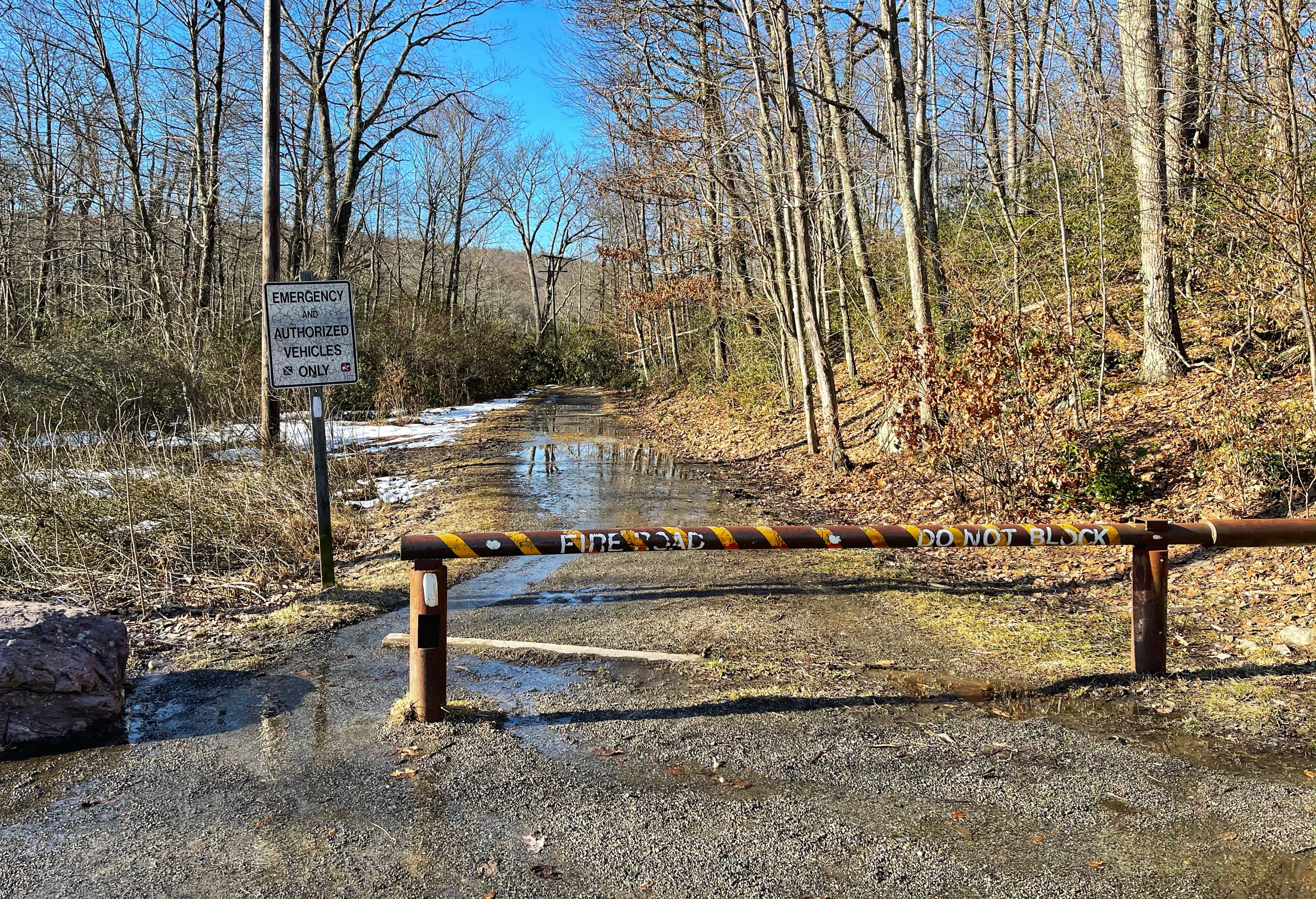
From the parking area, head onto the fire road, which is blocked by a hate, and follow the white-blazed Appalachian Trail.
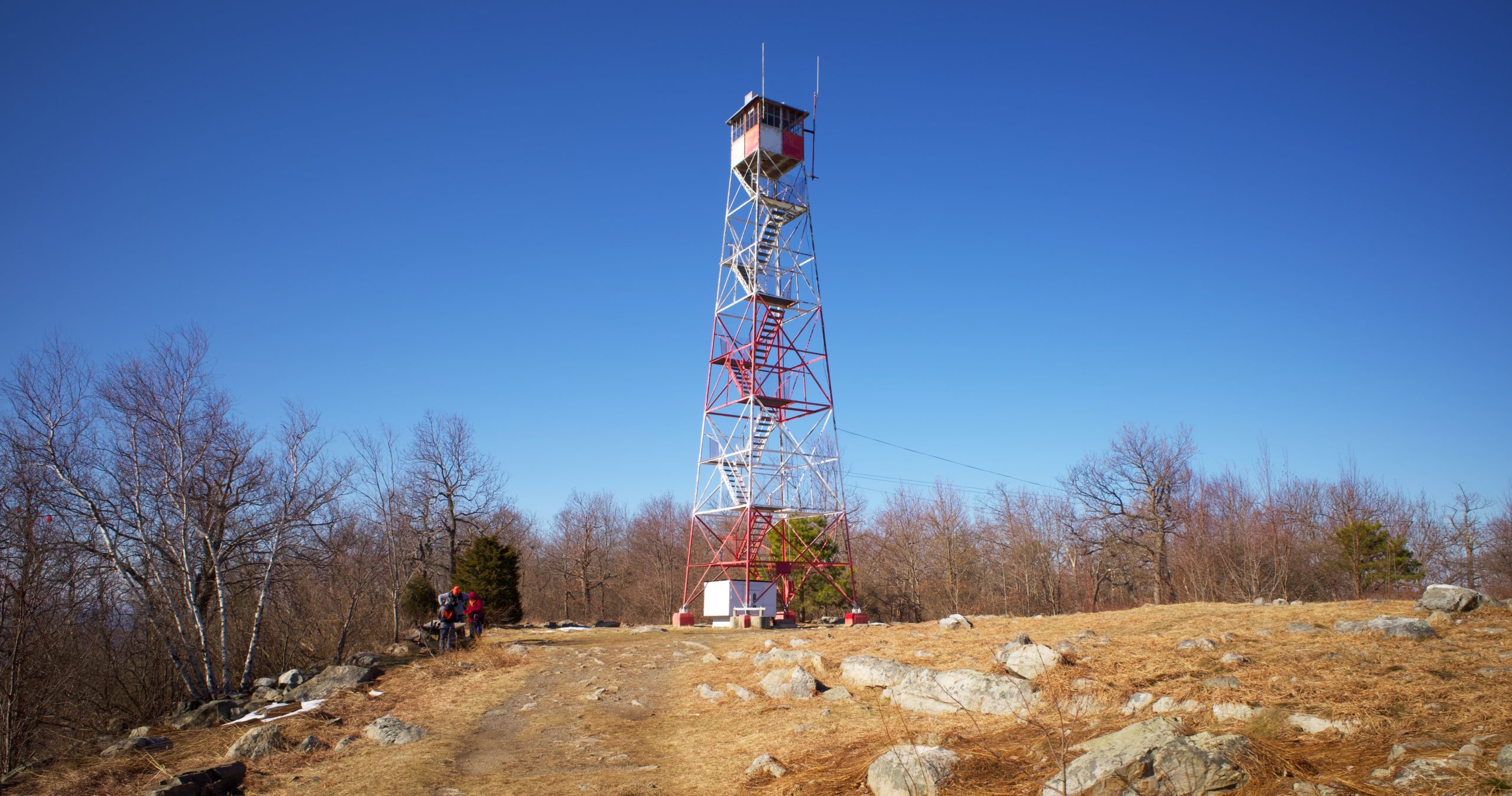
After half a mile, the trail forks and the fire trail heads right, but we will stay left to follow the white blazes. The trail now climbs more steeply. Continue uphill and rejoin the fire road in another 0.2 miles. After another 0.45 miles, you’ll reach an open area on the ridge and see Catfish Fire Tower ahead.
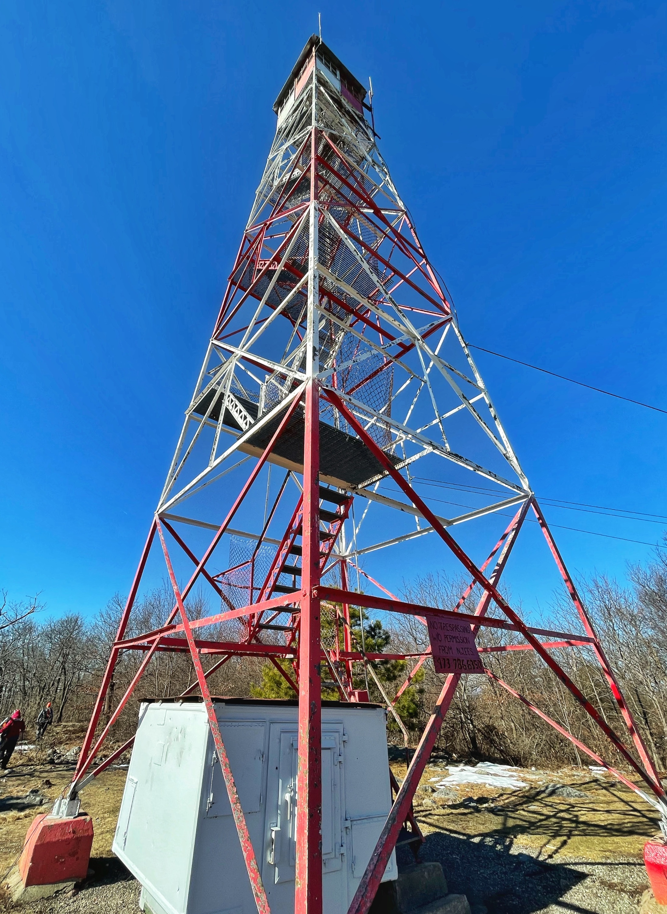
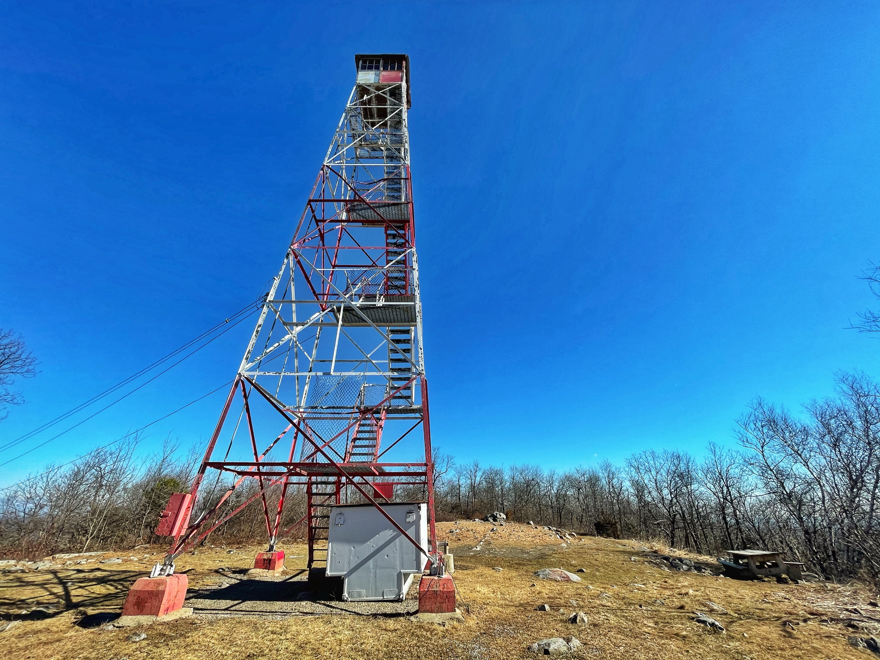
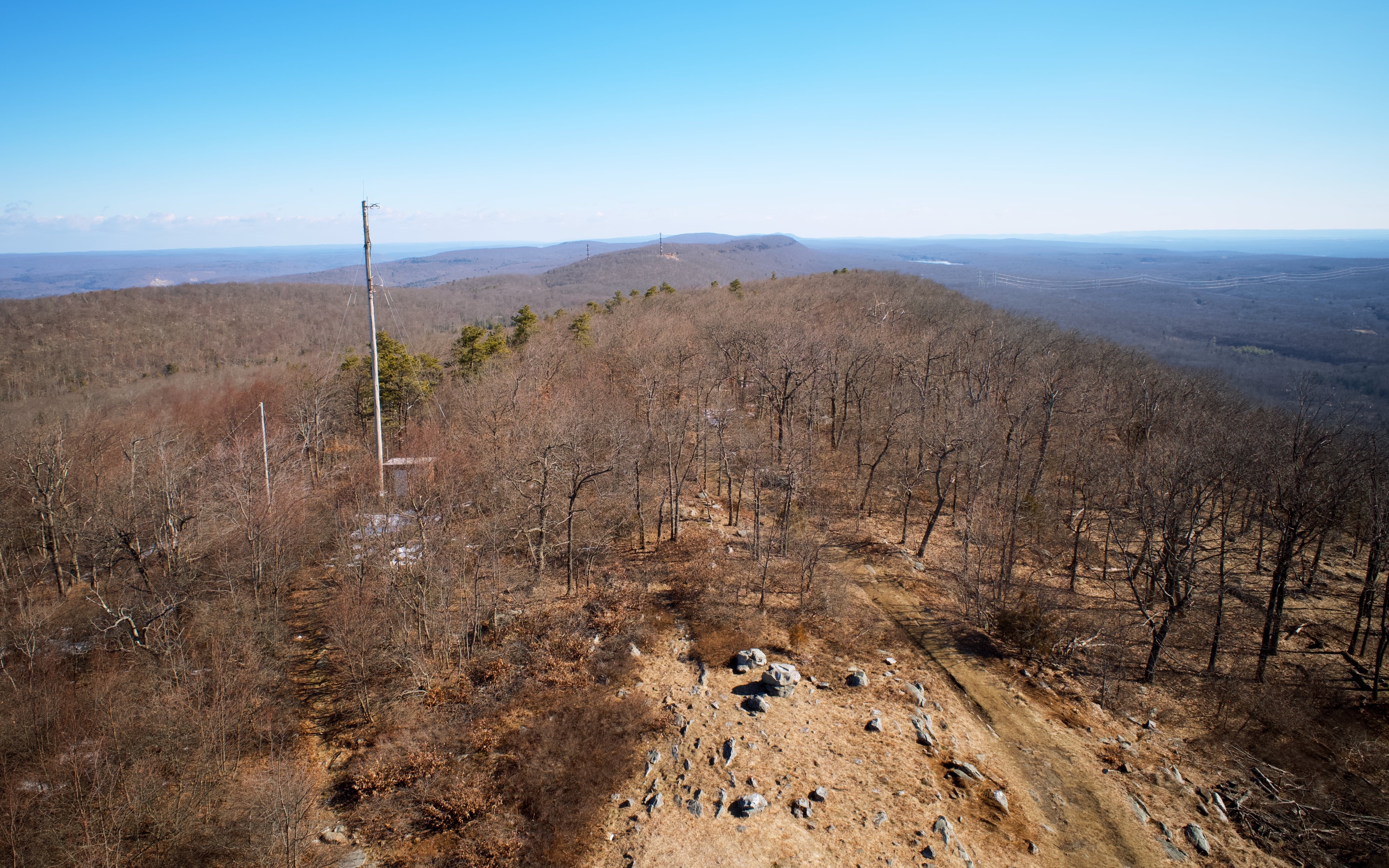
Located at an elevation of 1,555 feet, the 60′ Aermotor LS-40 fire tower was built in 1922, replacing a wooden tower. The 7’x7′ cab was rebuilt in 1993.
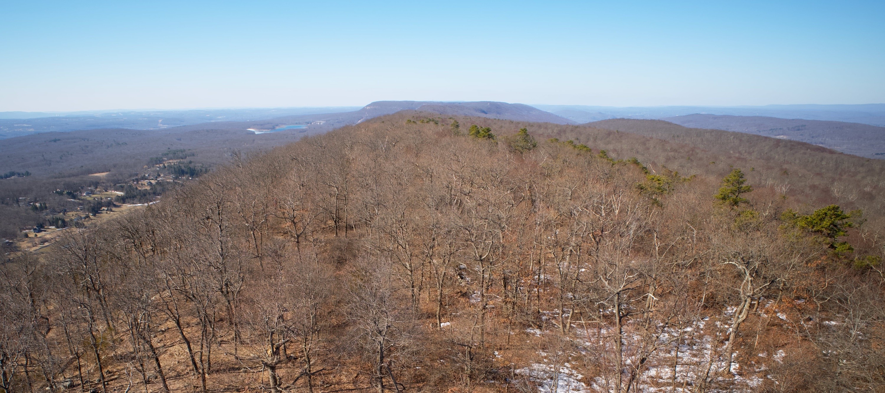
From the top of the tower, you’re rewarded with panoramic views of the Kittatinny Mountains in all directions.
Continue to follow the white blazes to the south. For the next mile, the trail generally follows the ridgeline as it gently descends.
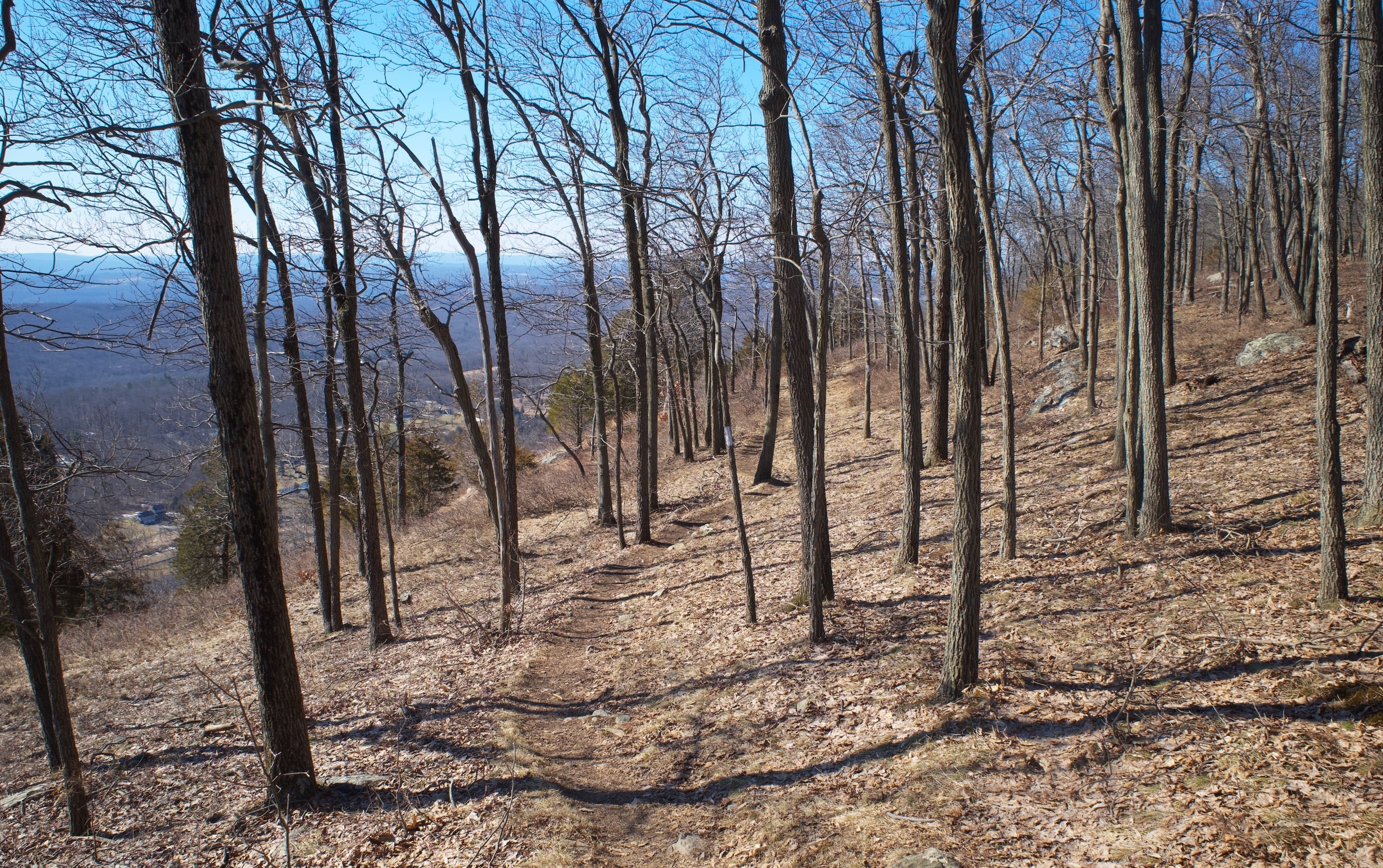
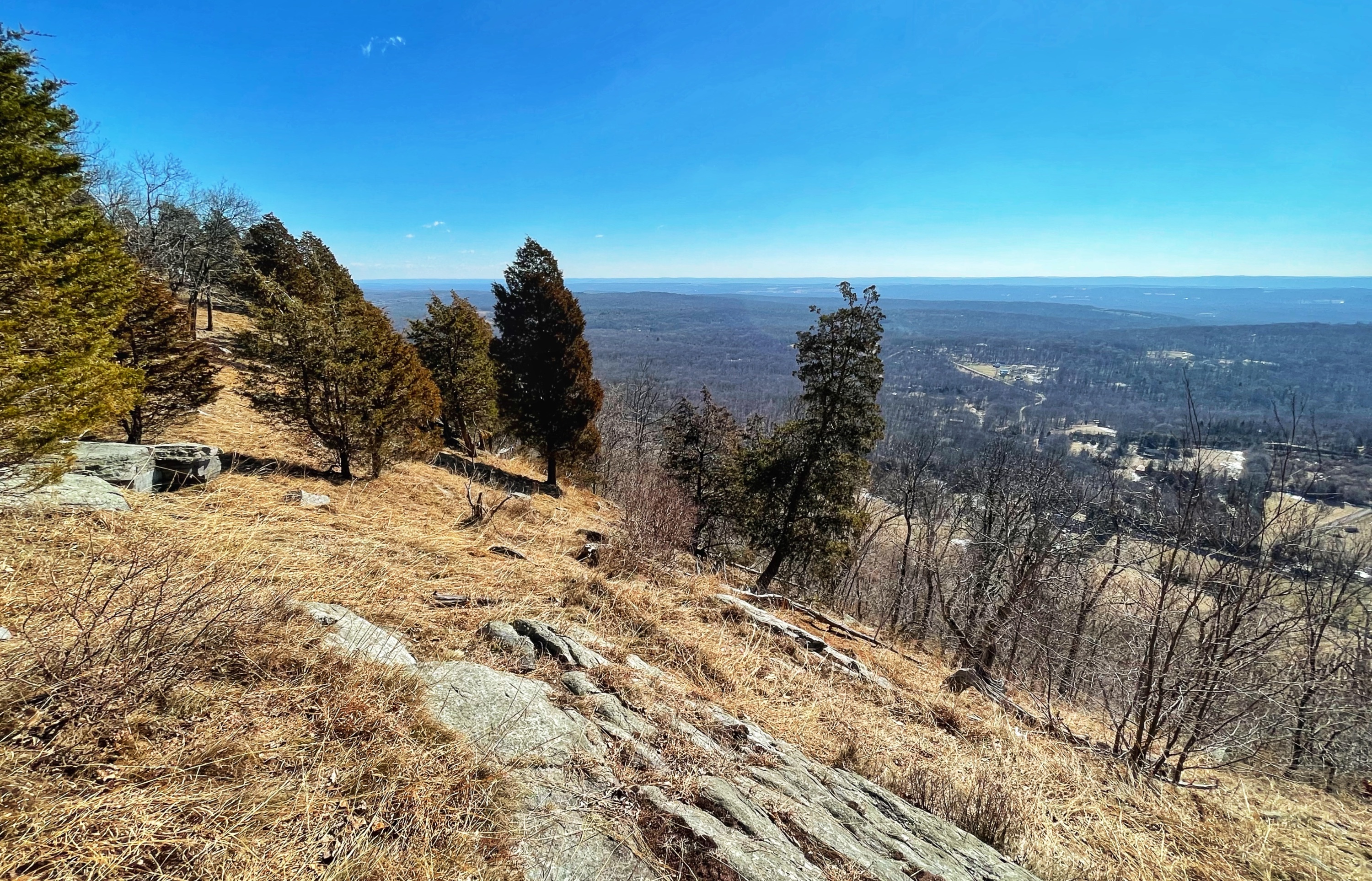
Along the way, you’ll pass several viewpoints off to the left side of the trail offering views of the valley to the east.
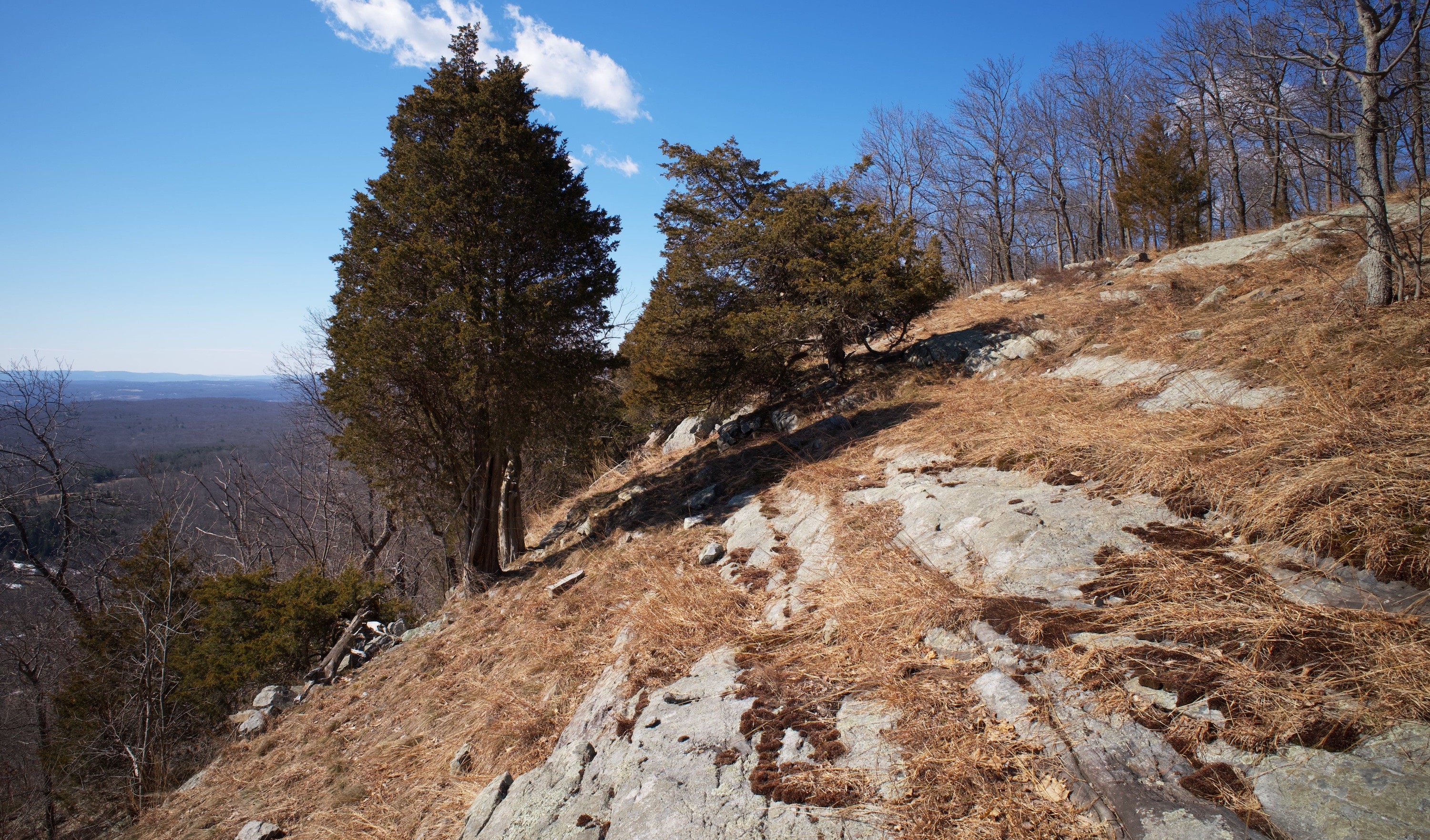
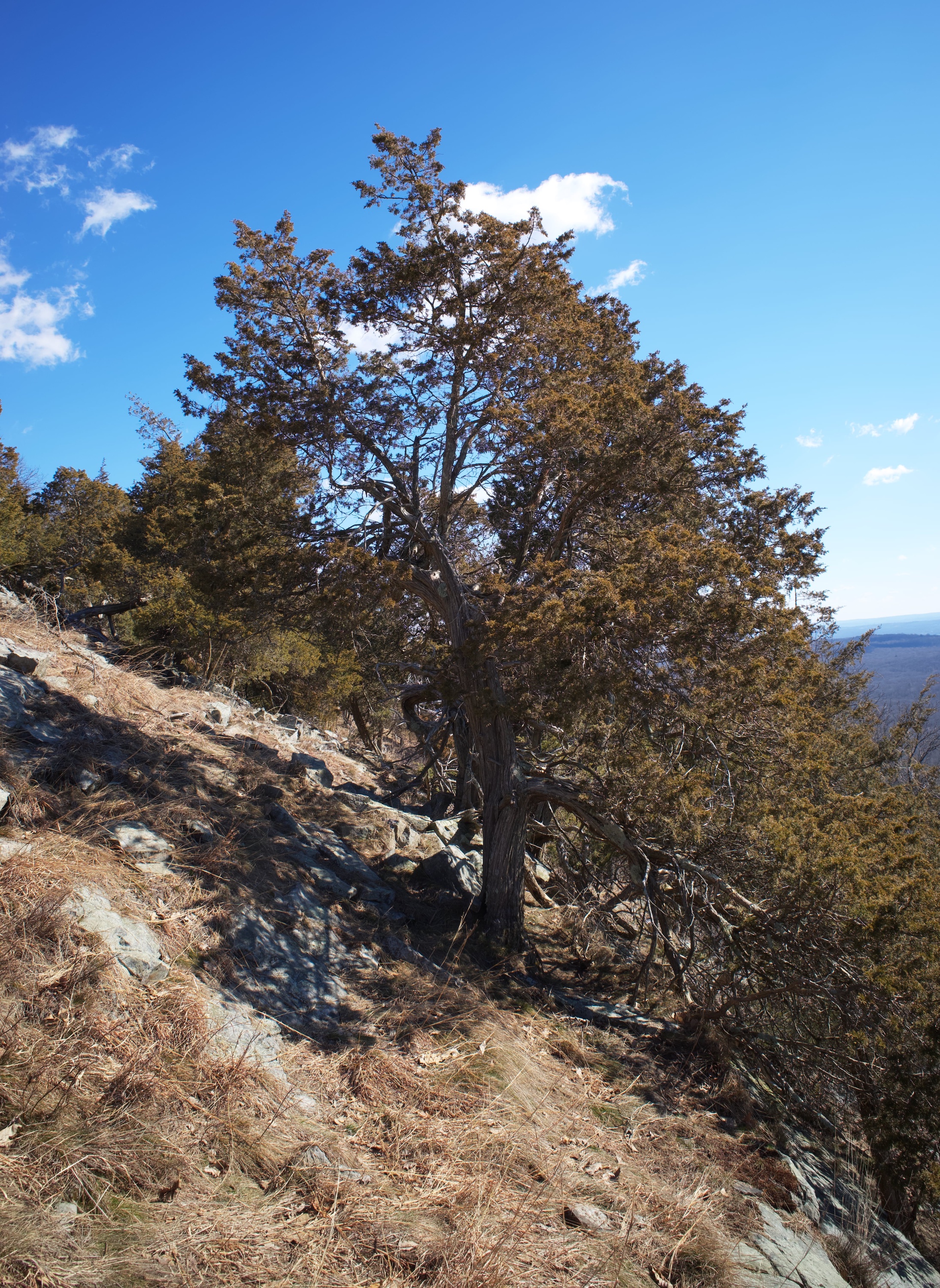
After a mile from Catfish Fire Tower, the trail reaches an exposed ridge with a steep drop-off and panoramic views of the valley.
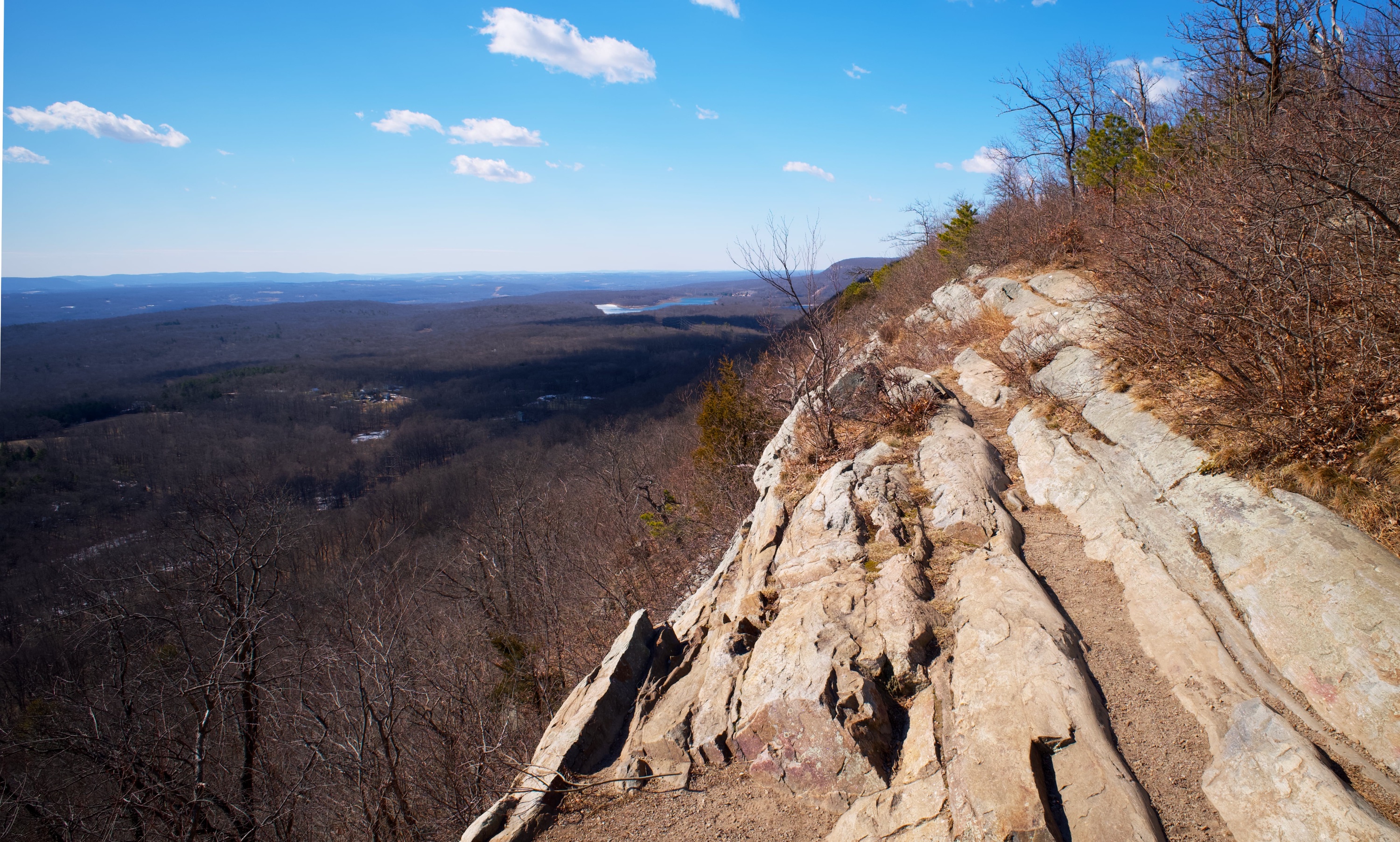
This is a good spot to stop for a break. This spot is also right near the junction with the orange blazed Rattlesnake Swamp Trail Connector. Look for the wooden post with the three orange blazes, and follow the trail to the west.
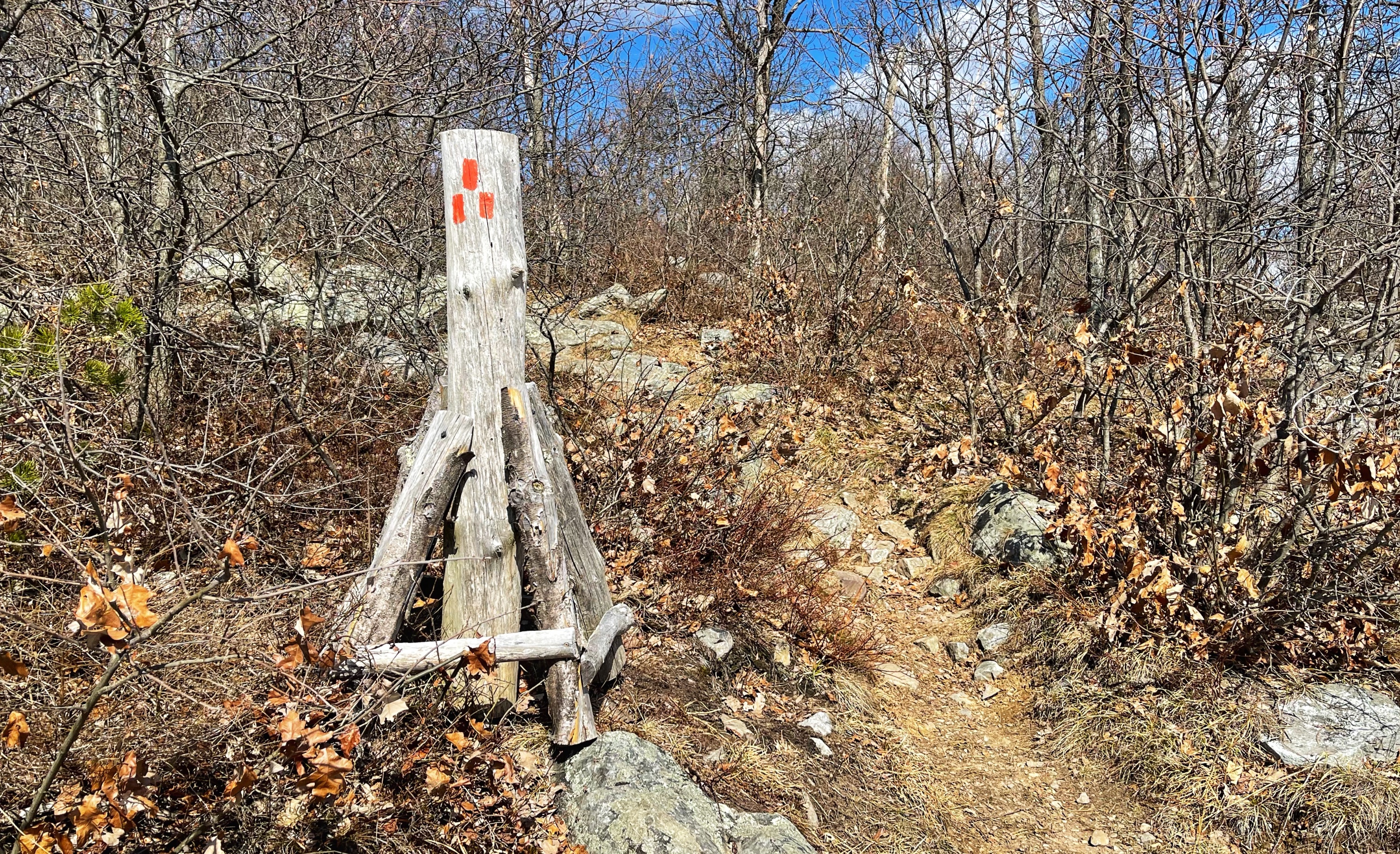
The trail now descends steeply down the mountain. At the bottom of the descent, you will reach a junction.
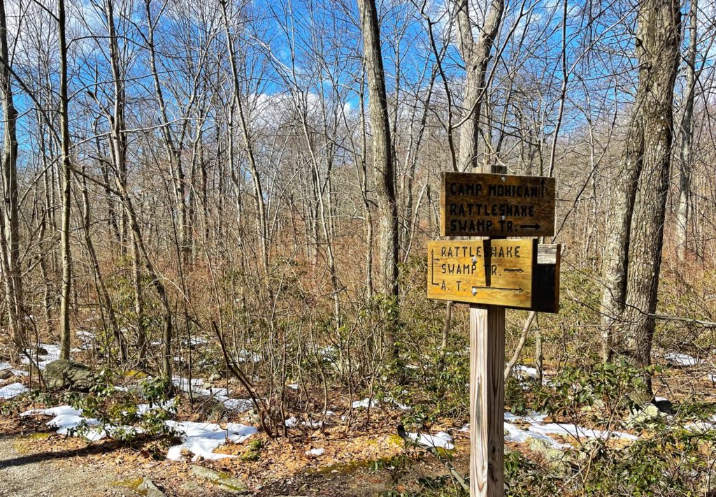
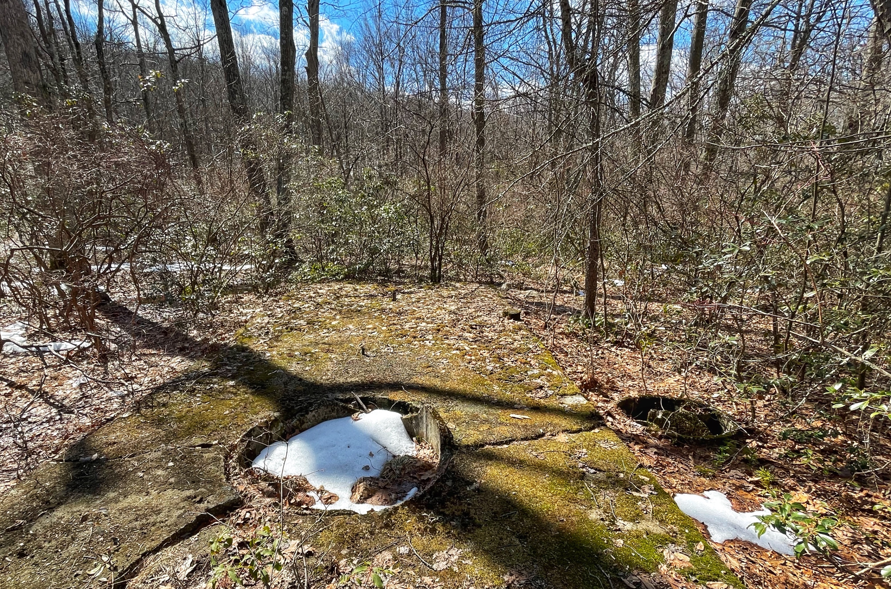
If you continue straight, the trail will take you to the Appalachian Mountain Club’s Mohican Outdoor Center. Turn right to continue to follow the Rattlesnake Swamp Trail. Soon, you’ll pass the foundation of an old building on your left (not sure what it was).
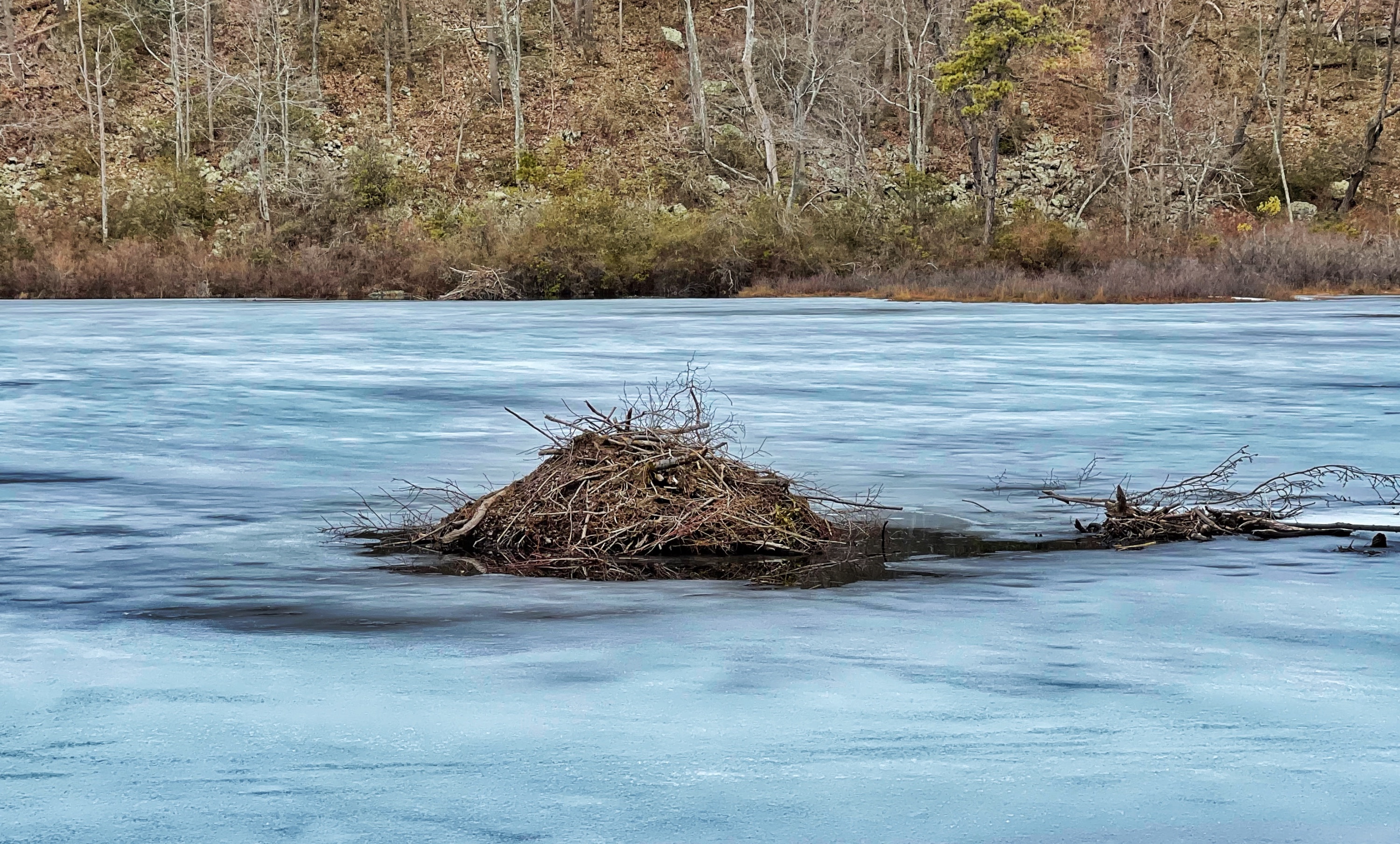
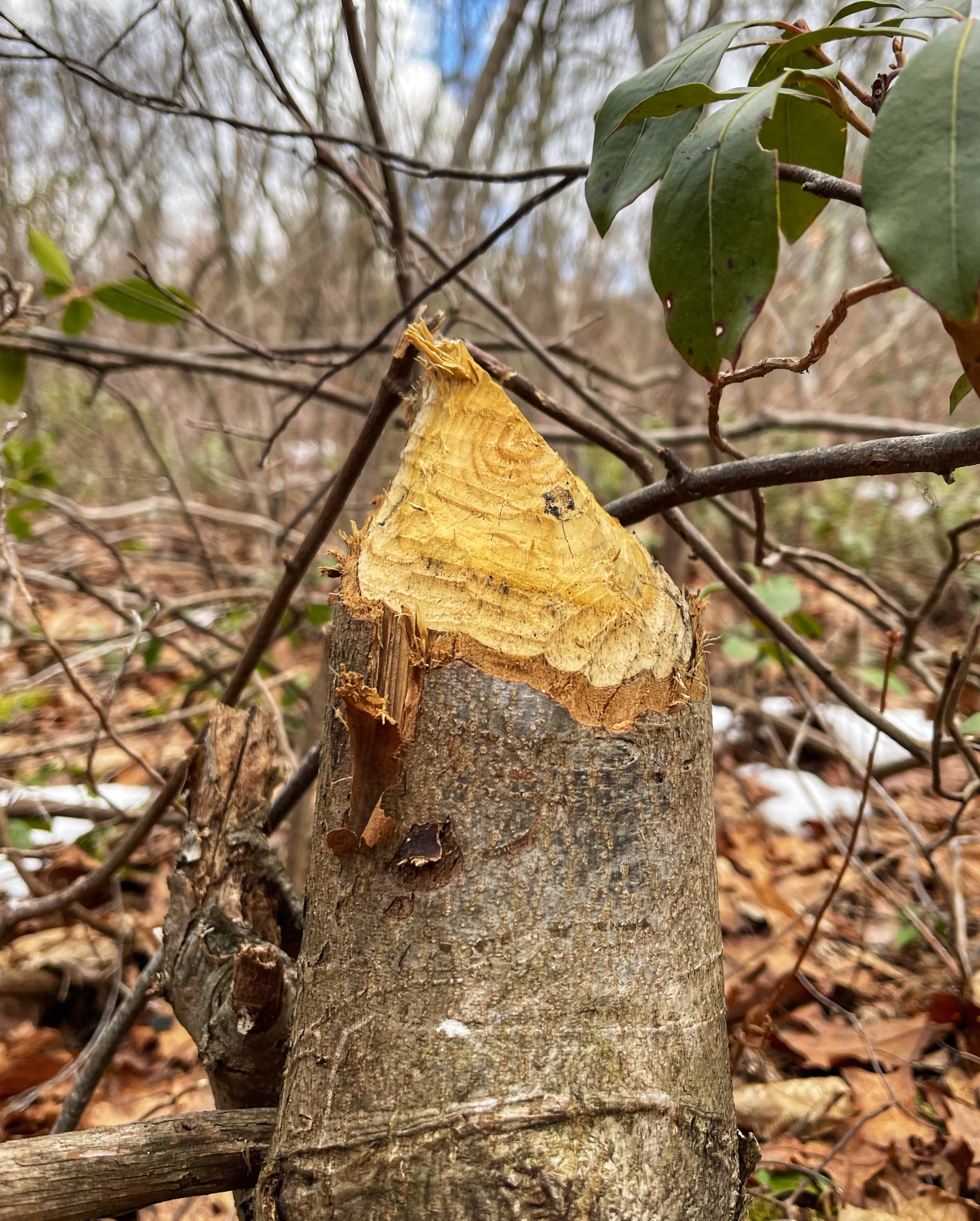
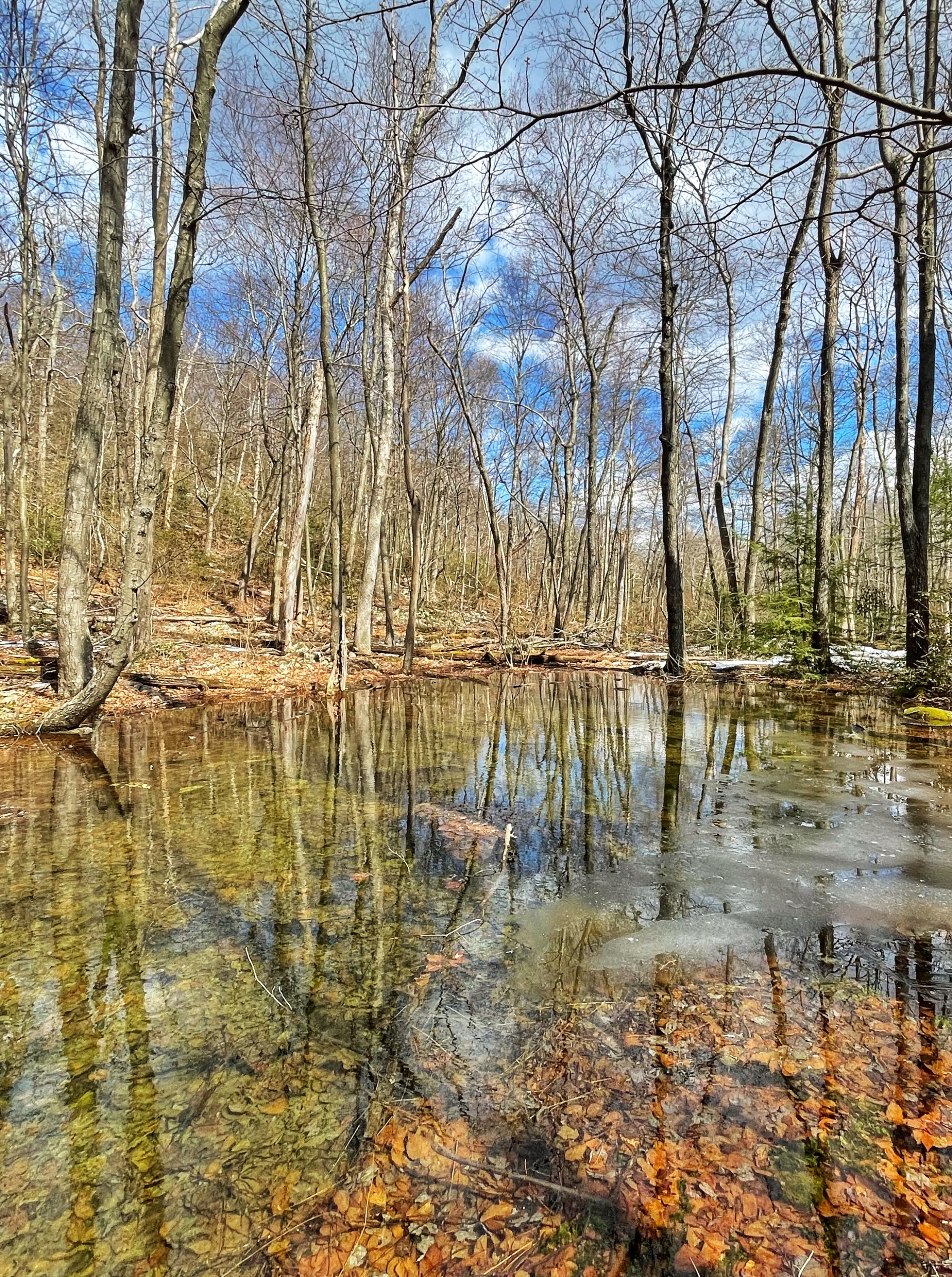
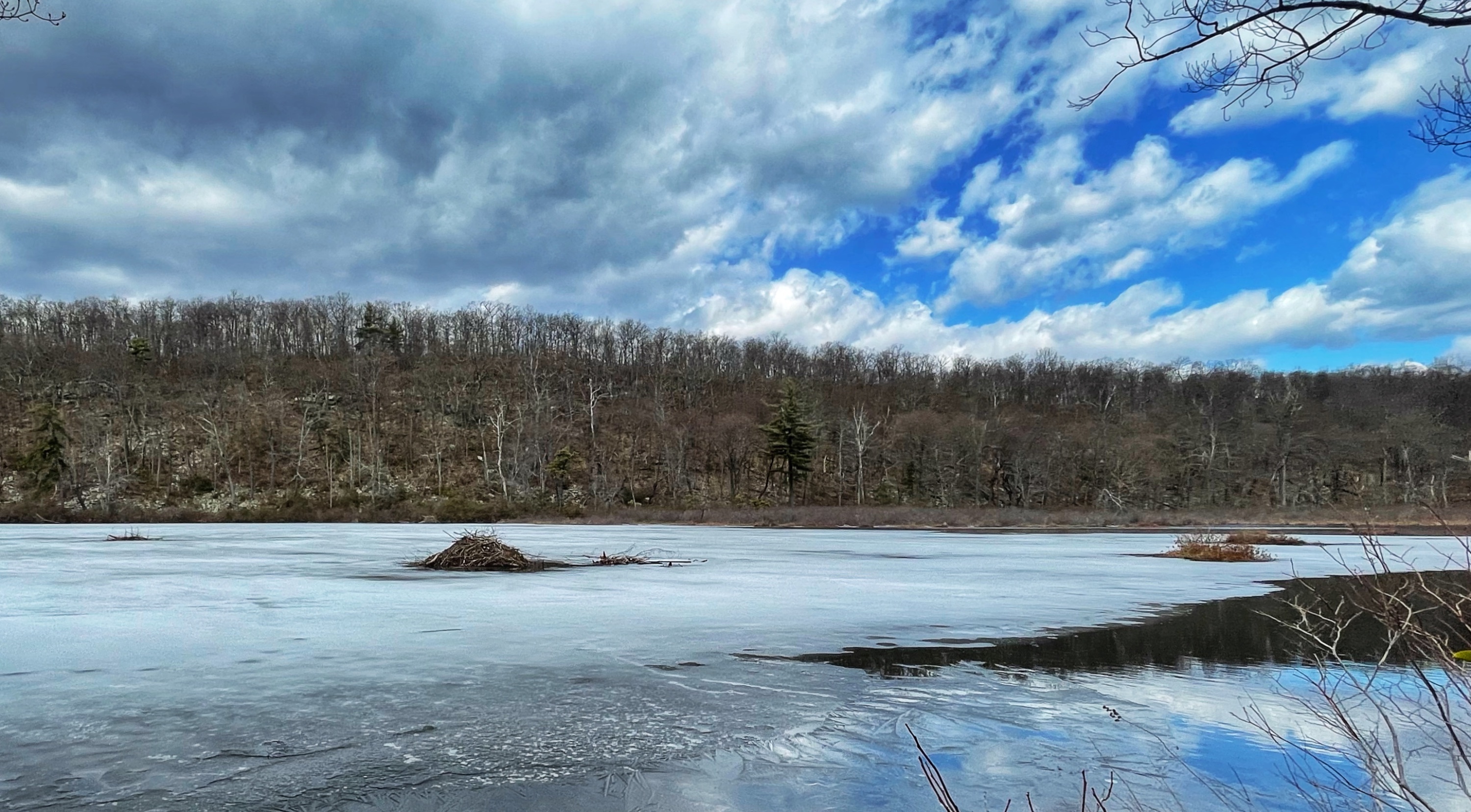
A short distance ahead, you’ll see Catfish Pond on your left. The trail continues along the side of the lake. Look around here – there is plenty of evidence of beaver activity, including beaver lodges.
The Rattlesnake Swamp Trail continues for another 2 miles. The trail is lush with rhododendron tunnels, has several stream crossings, and may be very wet and muddy. Trekking poles come in handy for navigating the swampy areas. During cold weather, waterproof boots are recommended here.

Rattlesnake Swamp Trail ends at fire road. Turn left and follow the fire road for a short distance until you rejoin the white-blazed Appalachian Trail. You’ve now completed the loop. At the junction with the Appalachian Trail, stay left and retrace your steps for half a mile to the parking area on Millbrook Road.

