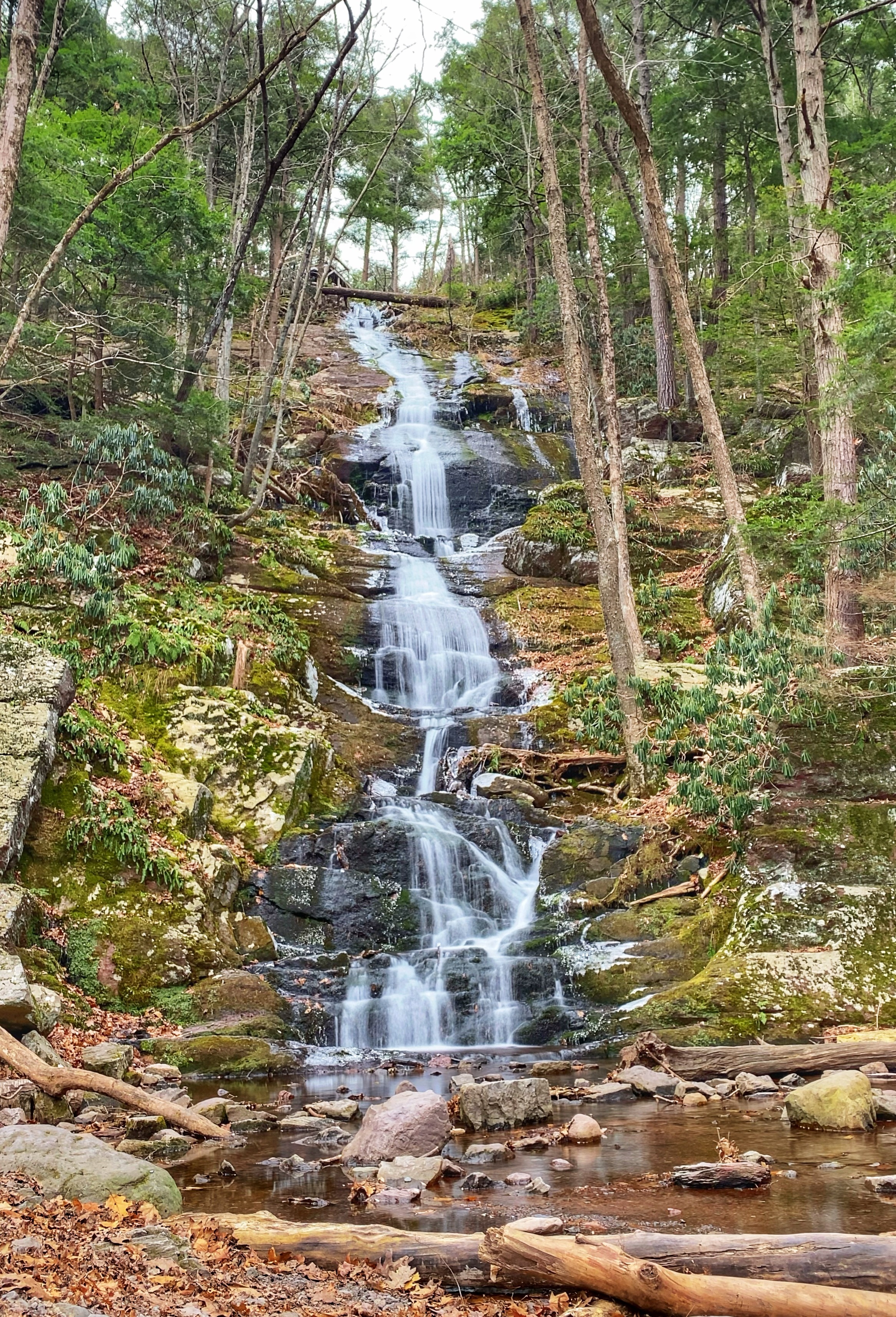
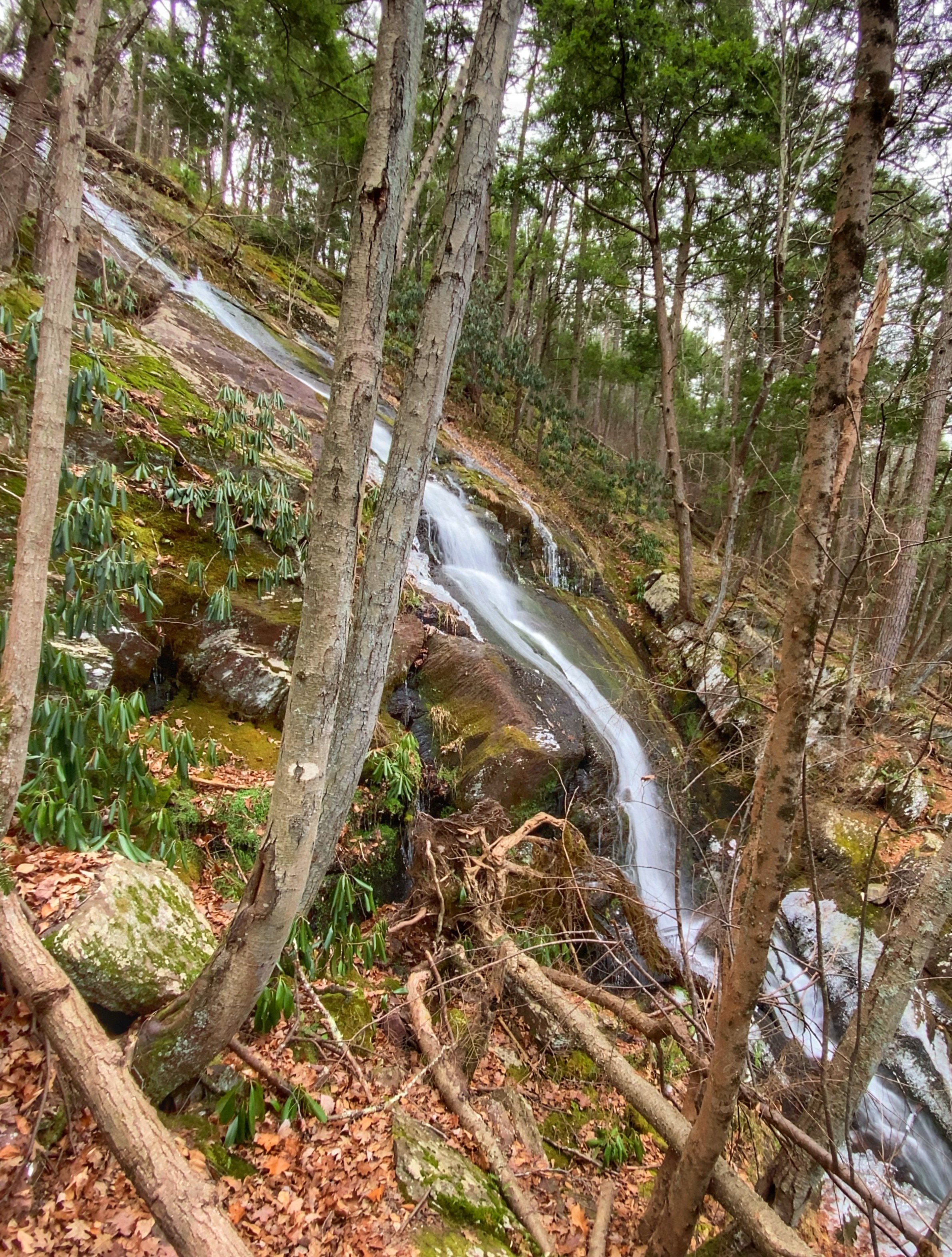
Overview: See the tallest waterfall in New Jersey and enjoy a steep hike up to Hemlock Pond.
Hike Length: 4.8 miles
Elevation gain: 1,000 feet
Location: Delaware Water Gap National Recreation Area, Mountain Rd, Layton, NJ
Parking: A parking lot along Mountain Road is located right across from the base of the falls. There is no address for the lot. Use these coordinates: 41.1370383 N,-74.8897392 W. Note that Mountain Road has ruts and bumps so if you have a low clearance vehicle, take it slow.
Map:
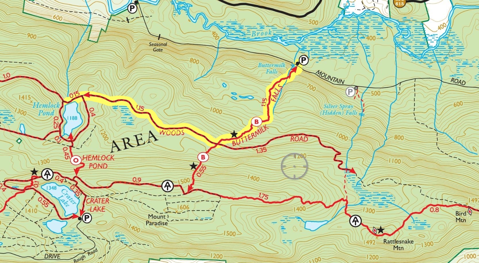
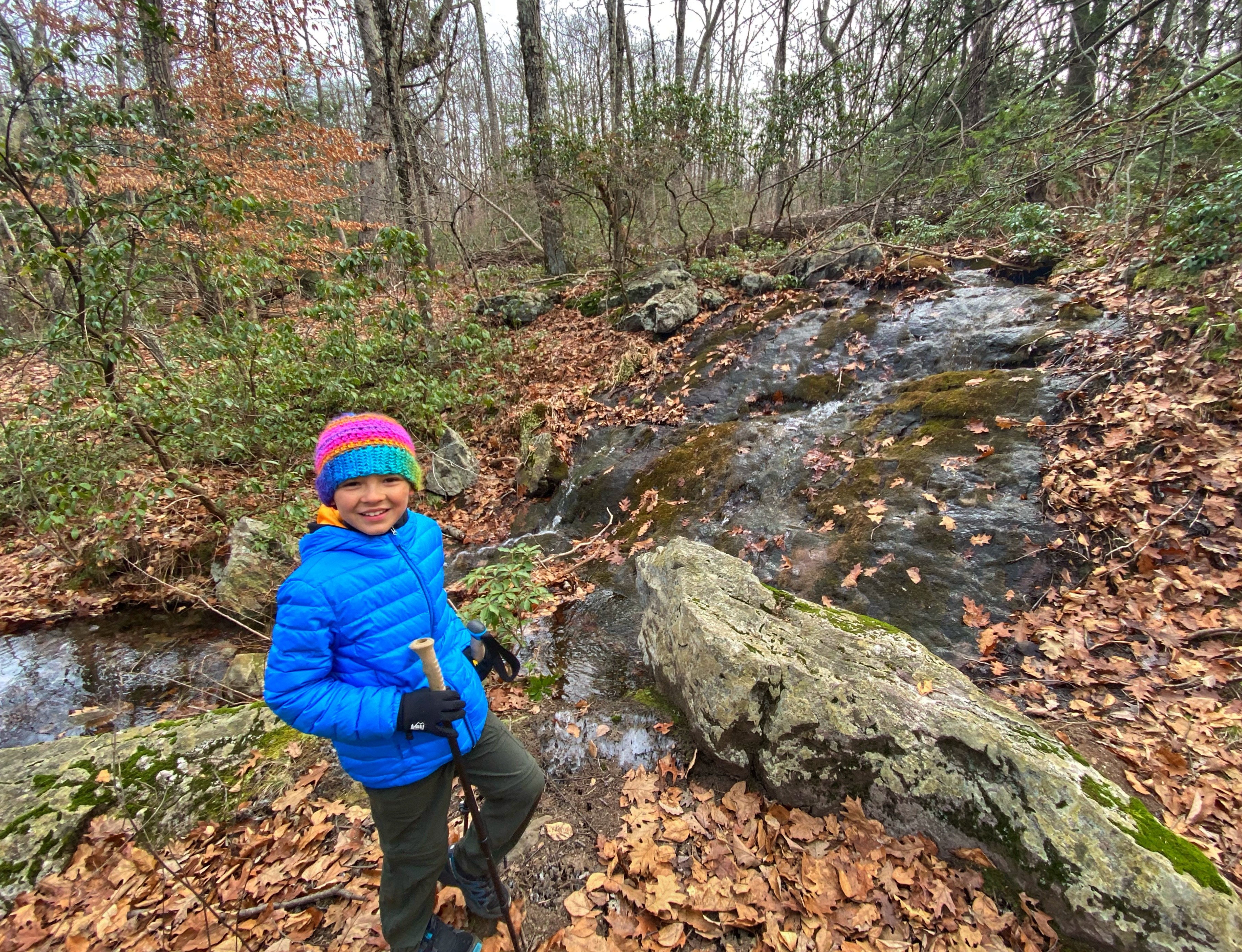
Trail Description: From the parking lot, Buttermilk Falls are immediately visible.
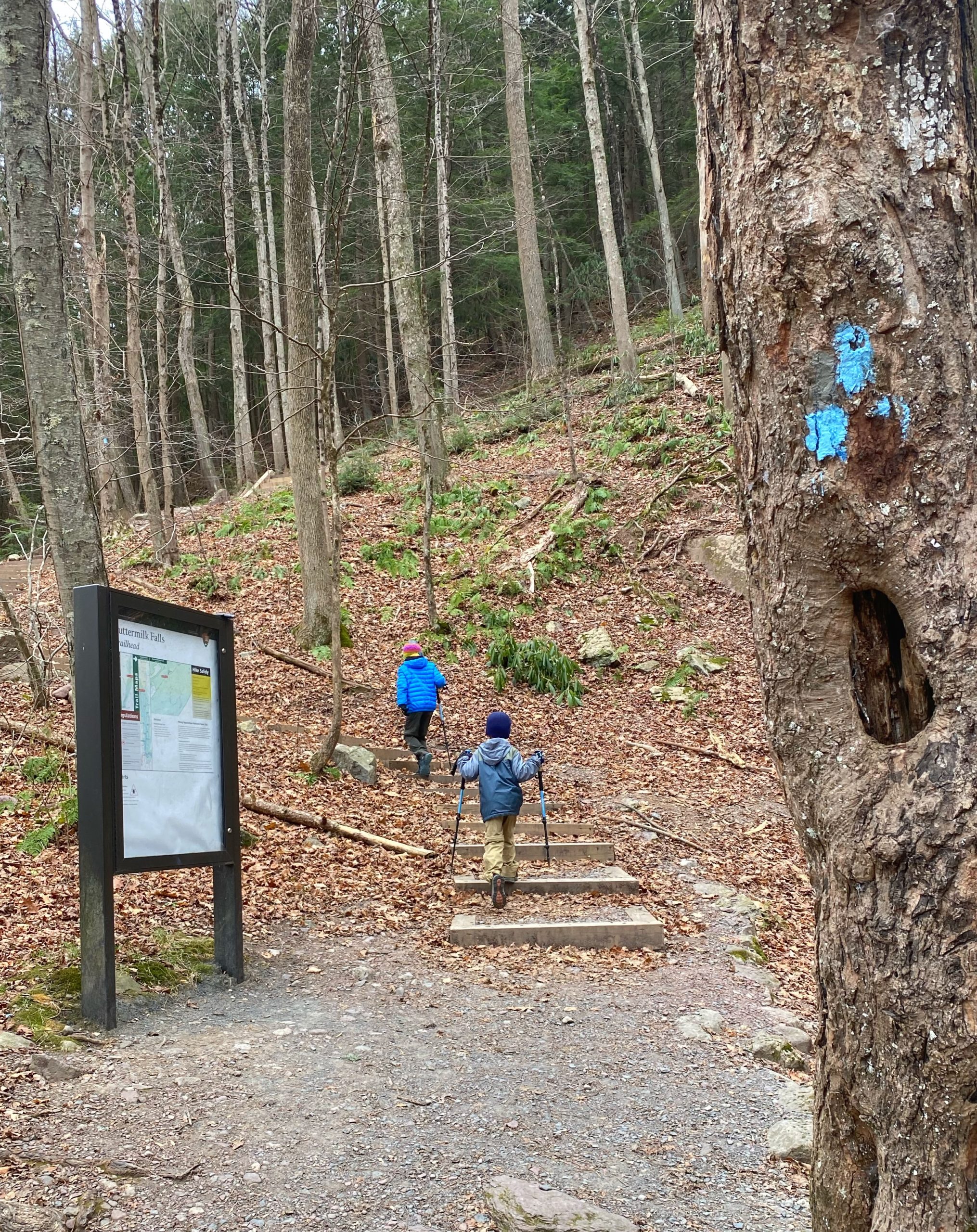
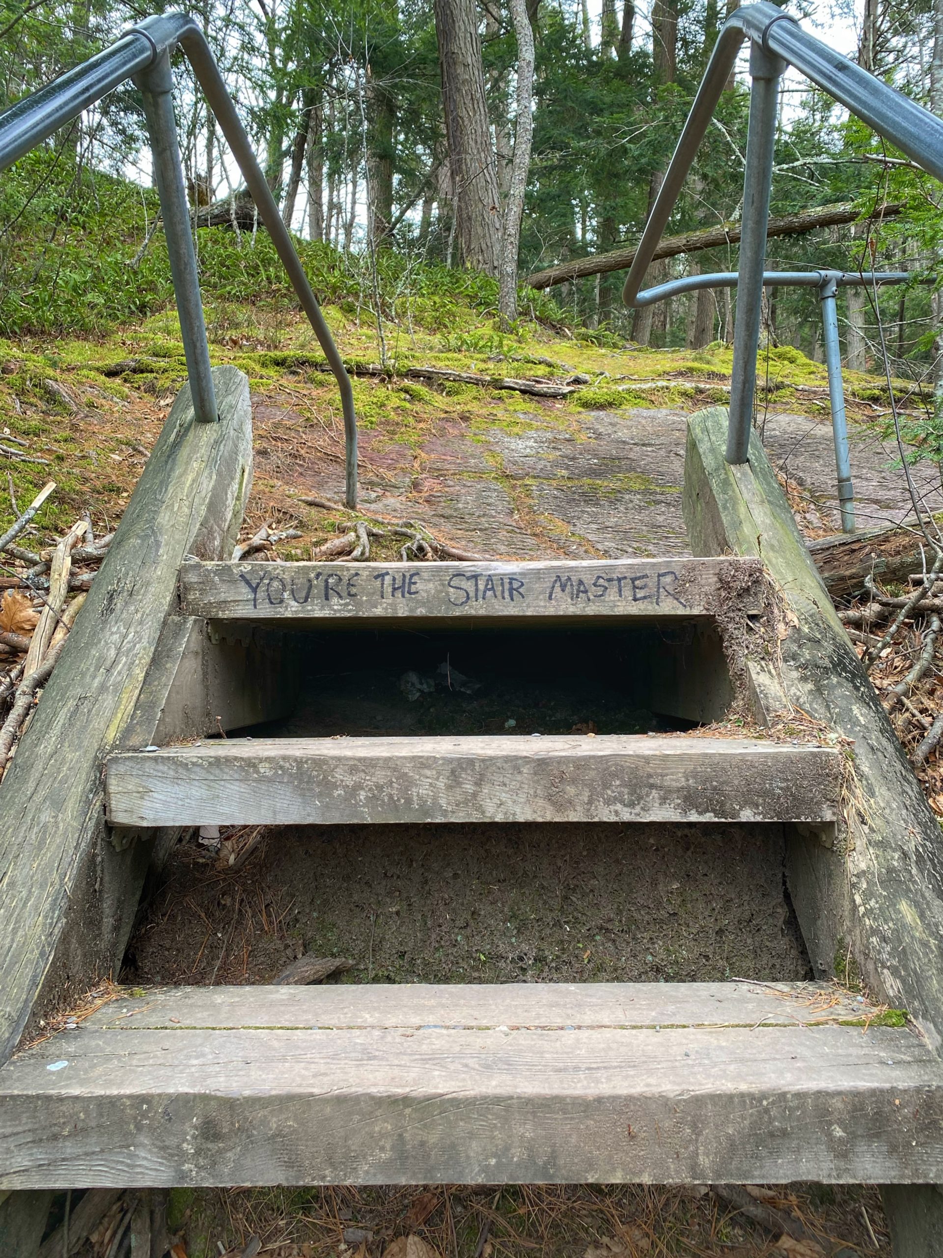
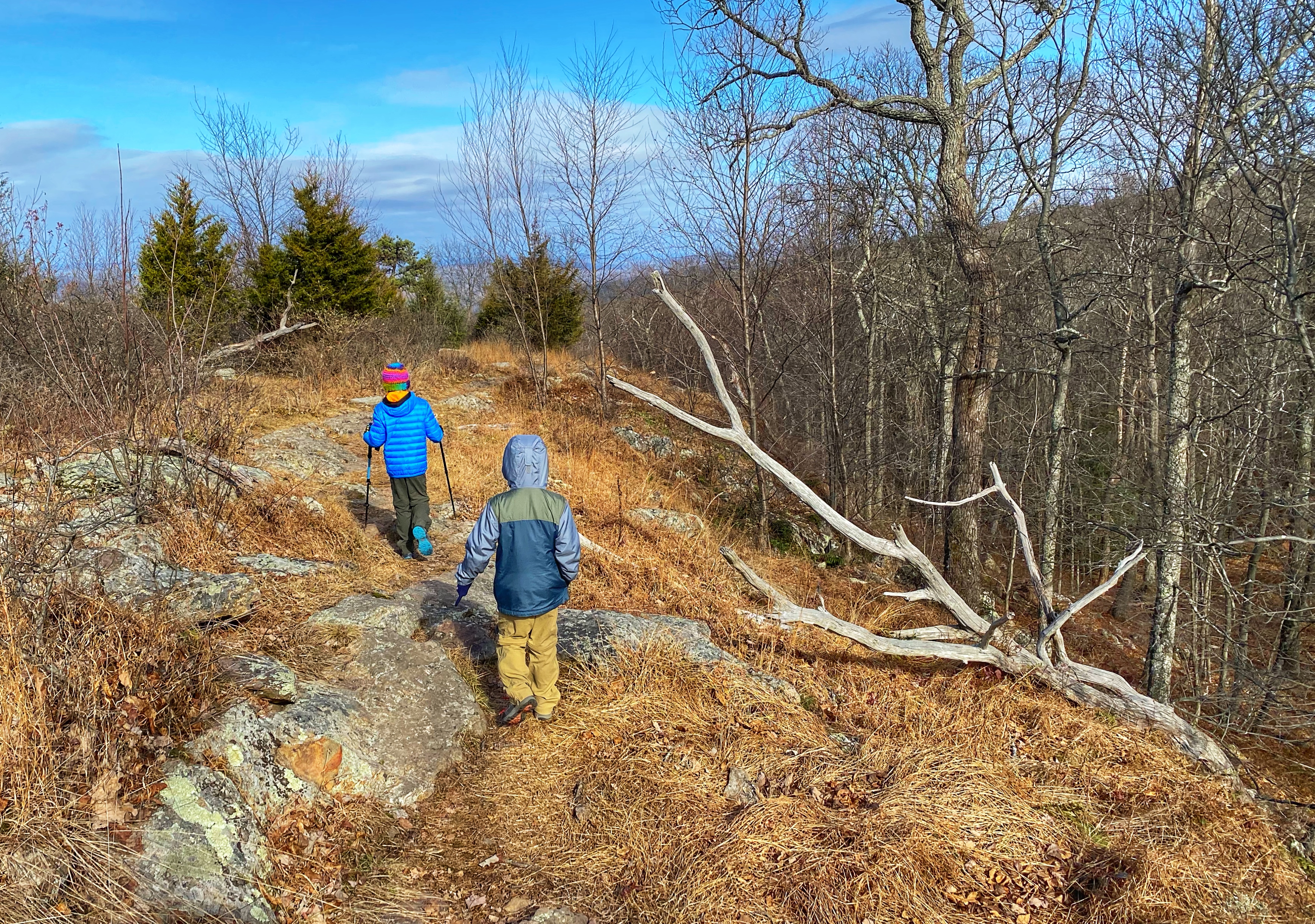
Follow the blue trail steeply up the side of the waterfall (Note: although this hike begins very steeply, it is rated kid-friendly since the waterfall is visible from the road and you can go as far – or as little – as you want, then turn around if the kids get tired).
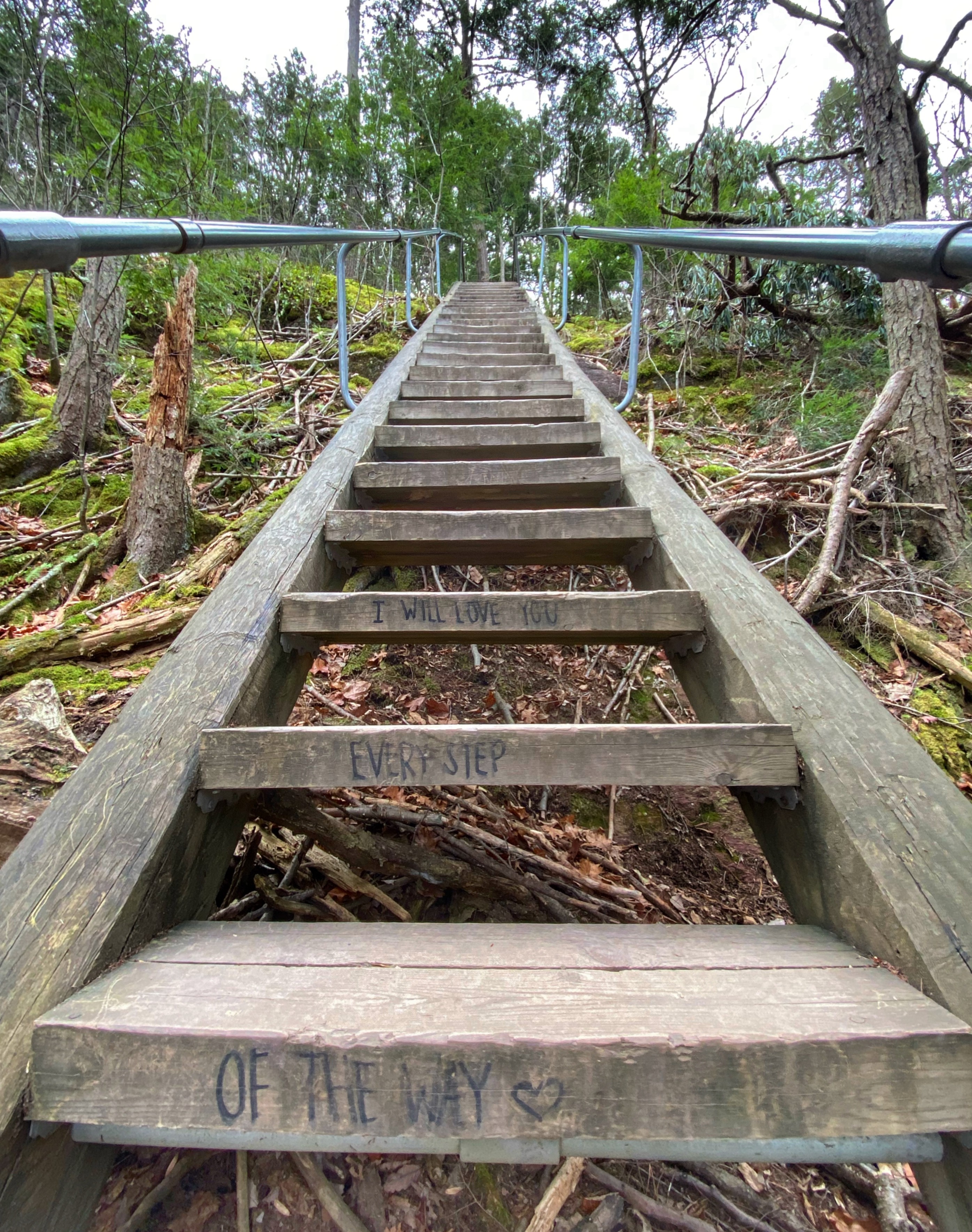
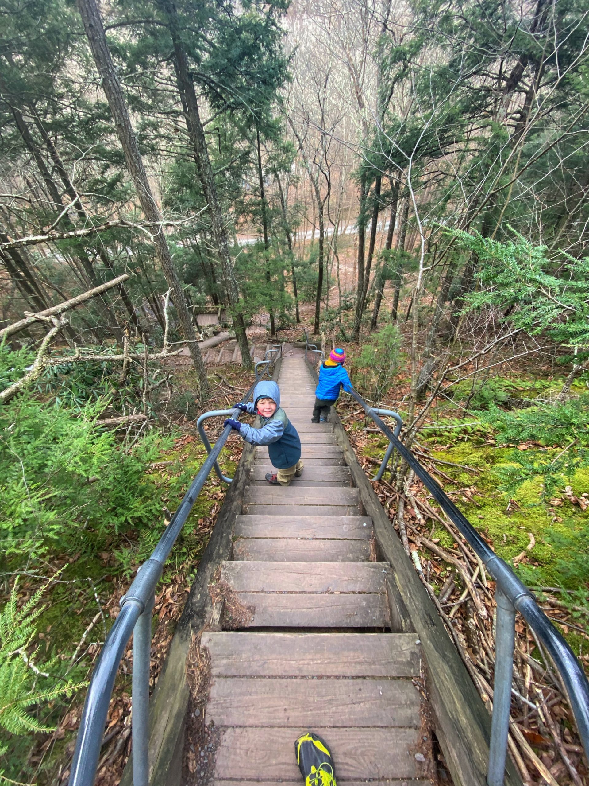
After the stairs, the trail continues to climb. You will climb over 700 in under a mile.
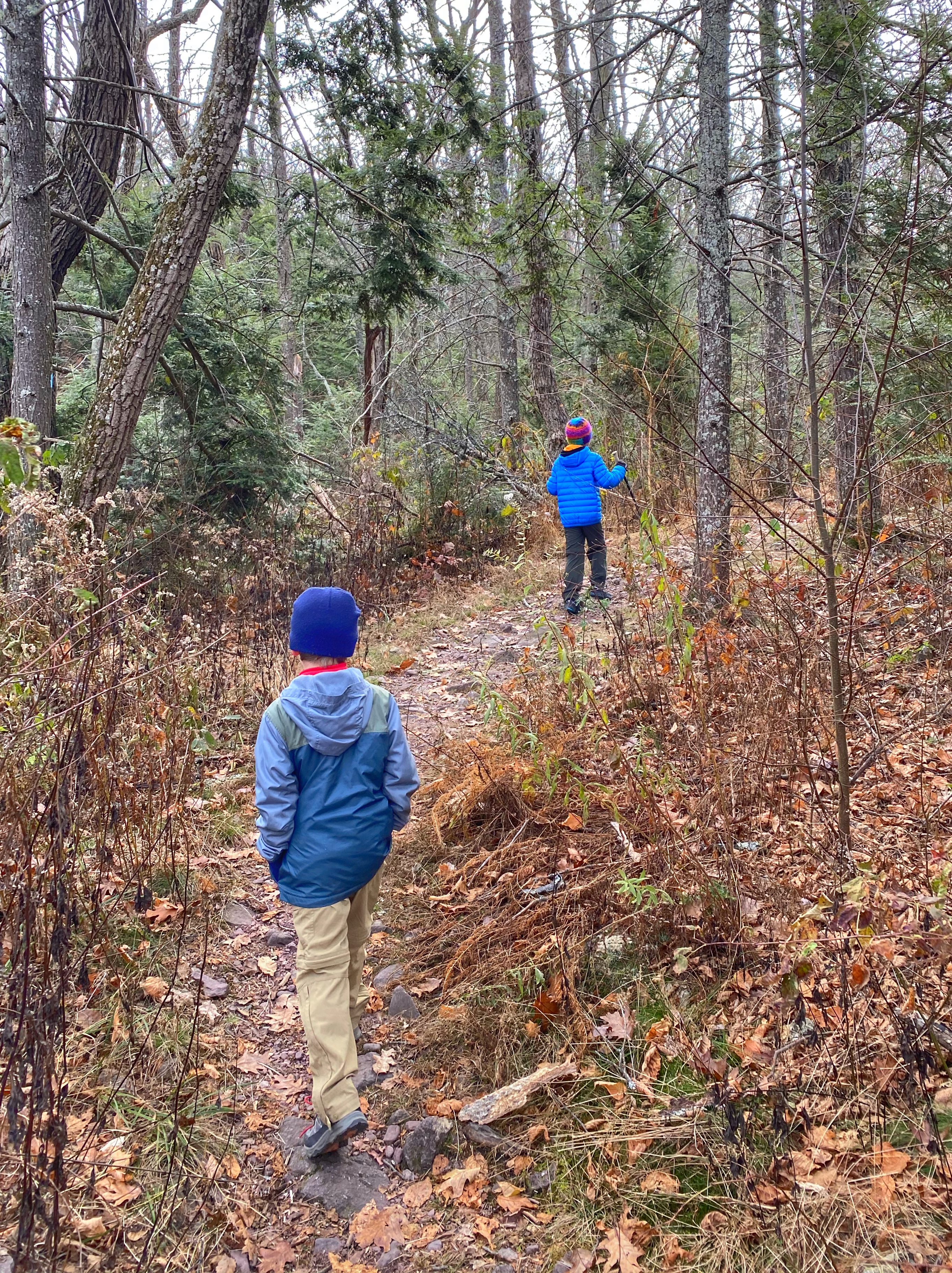
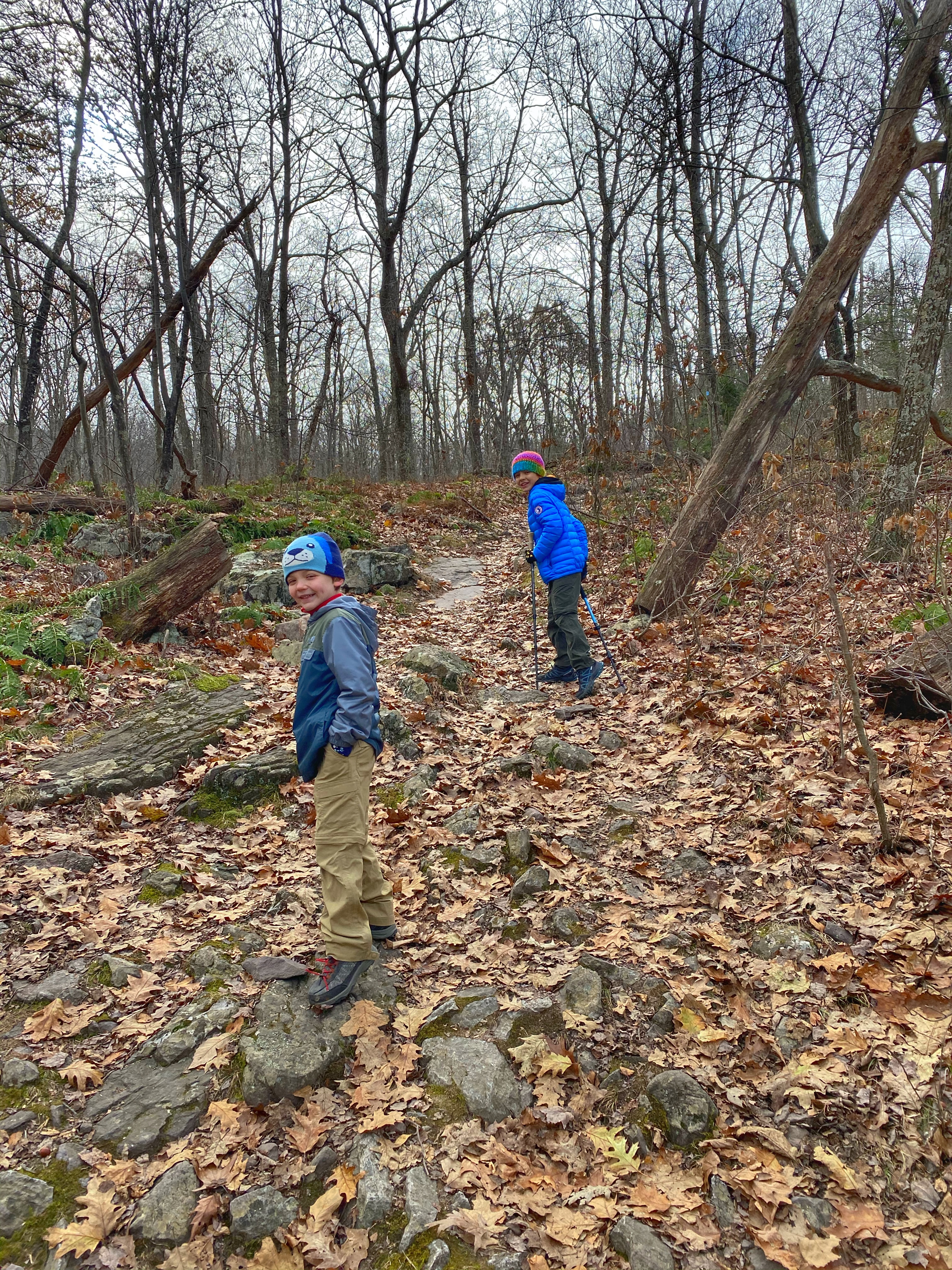
After 1.15 miles, you’ll reach a junction and a sign pointing to “Woods Trail.” On maps, it is named “Woods Road” (yellow blazes).
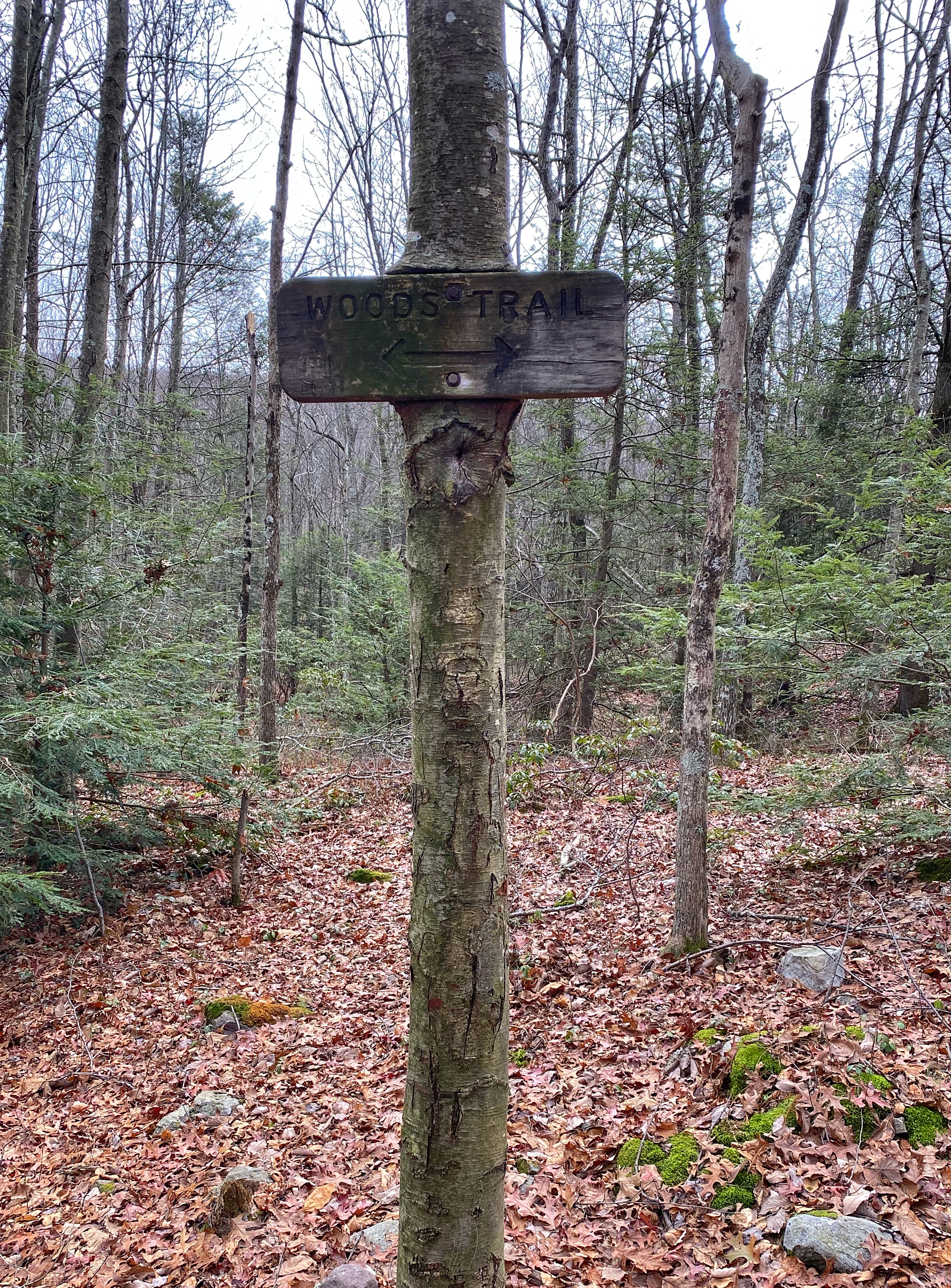
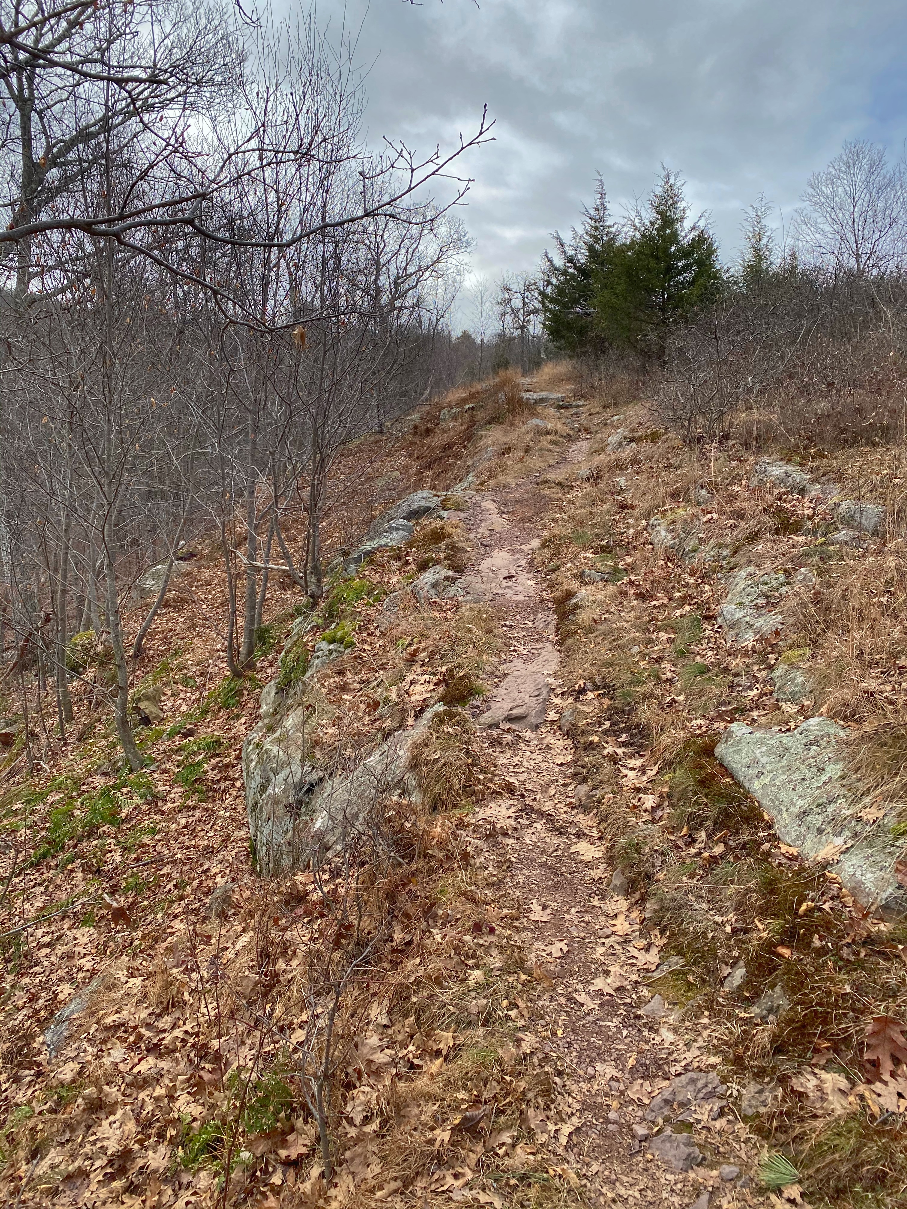
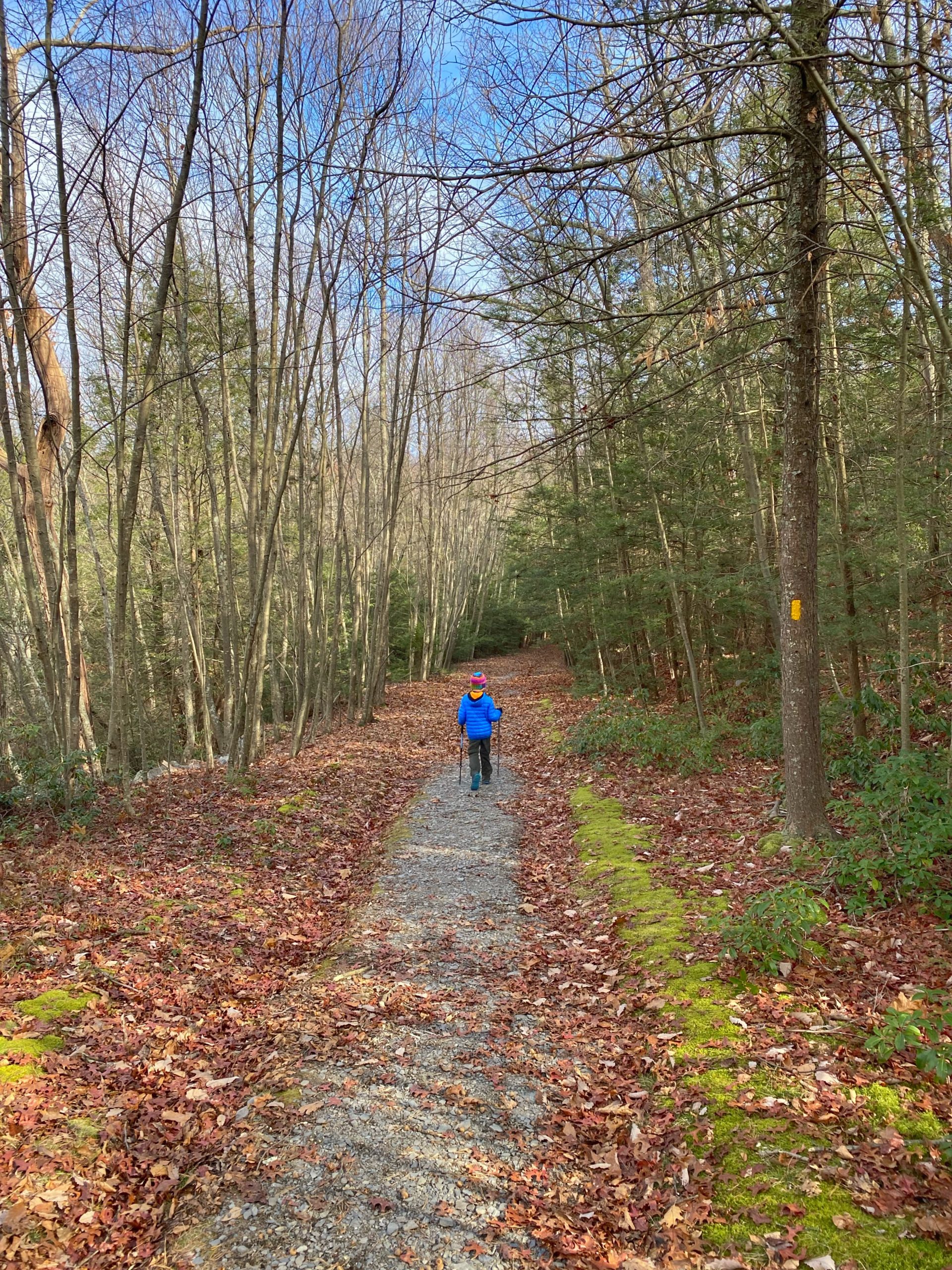
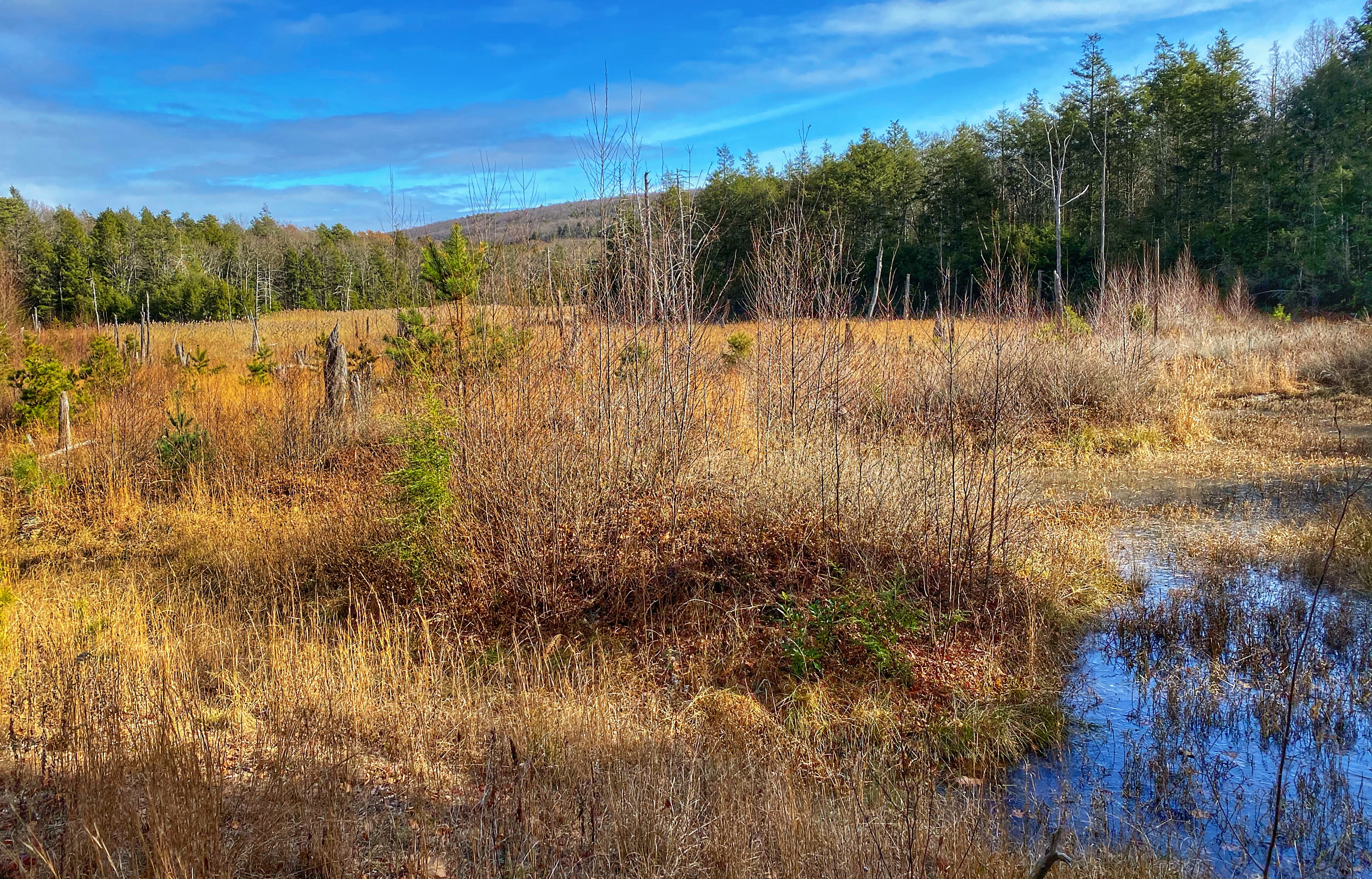
Make a right onto Woods Road and follow the mostly flat trail for another 1.15 miles – you’ll pass a marshy area on your left – until you reach a junction with a green trail.

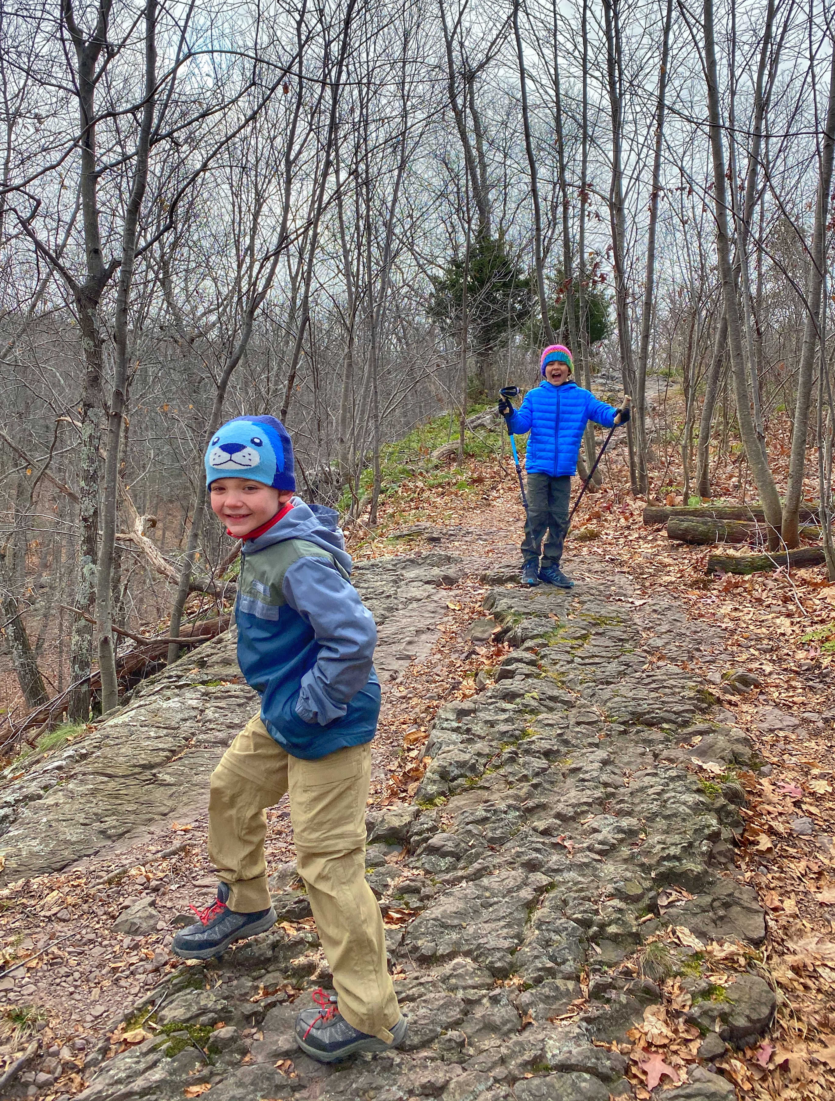
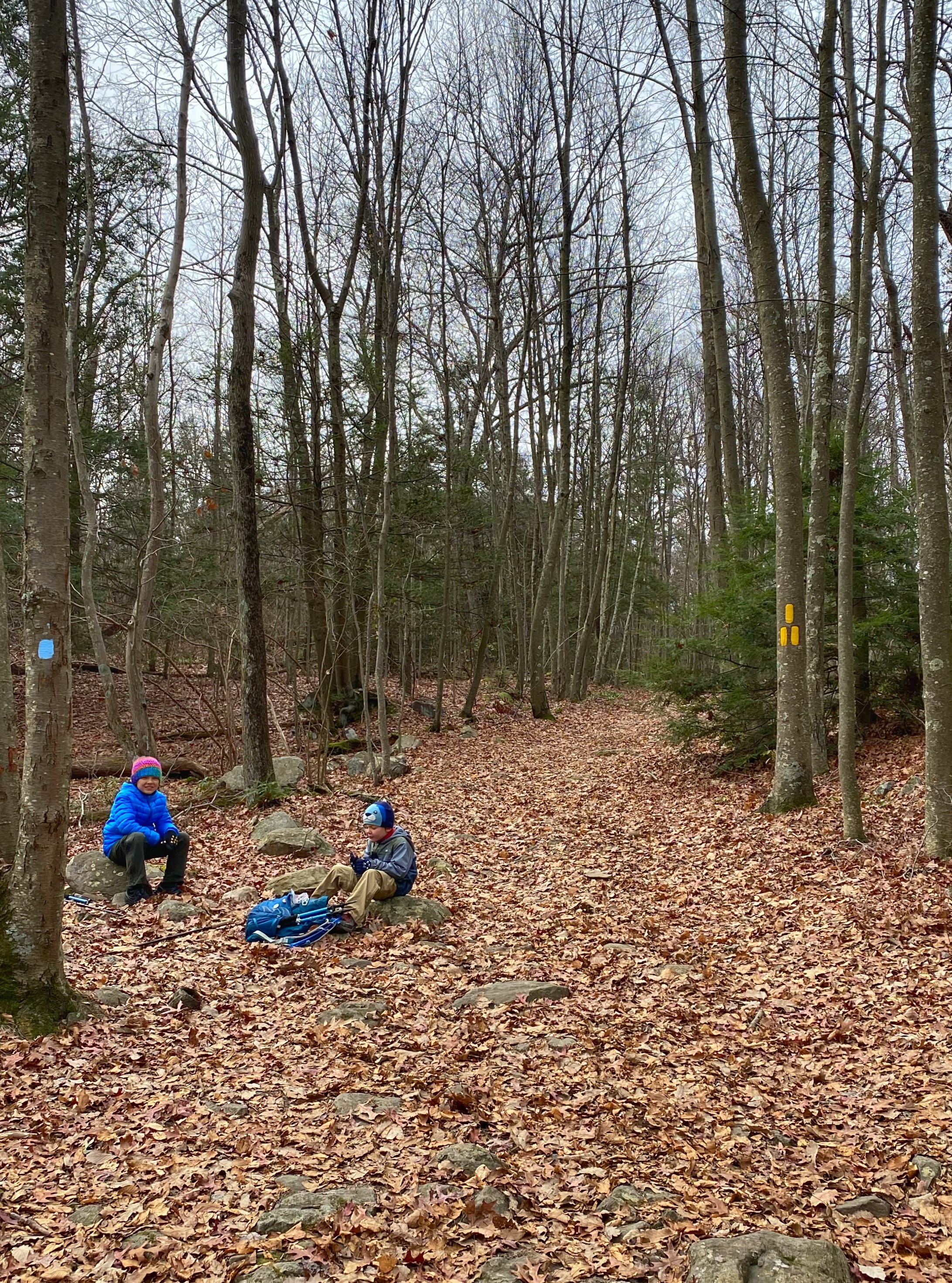
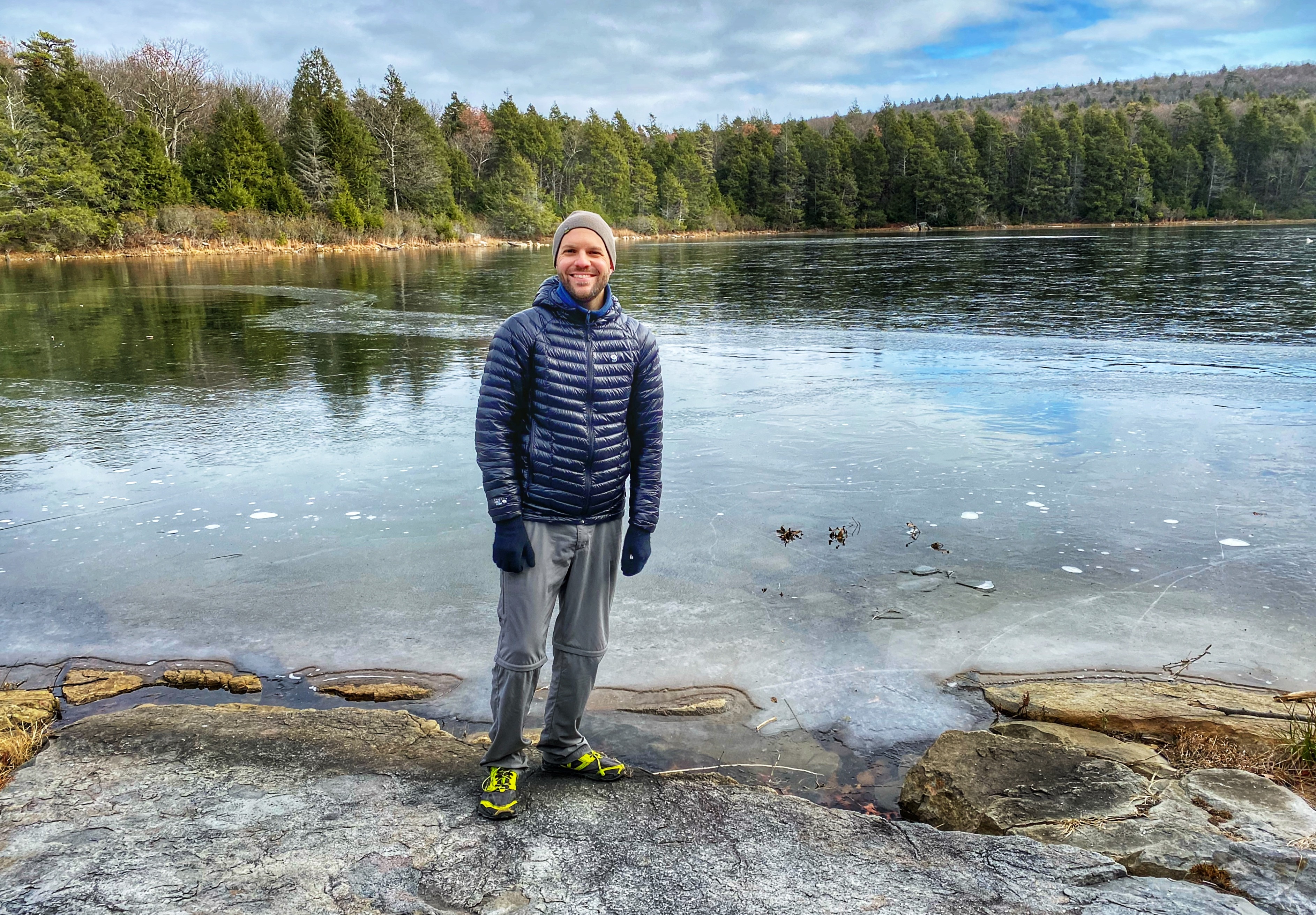
Continue straight for about a tenth of a mile and you will soon reach the shore of Hemlock Pond on your left. The rocks just ahead make for a nice spot to take a break and have lunch.


When you’re done, turn around and retrace your steps back to the trailhead.
(For a longer variation: continue around the pond, and loop around Crater Lake, then return via the Appalachian Trail to the Buttermilk Falls Trail.)


