Overview
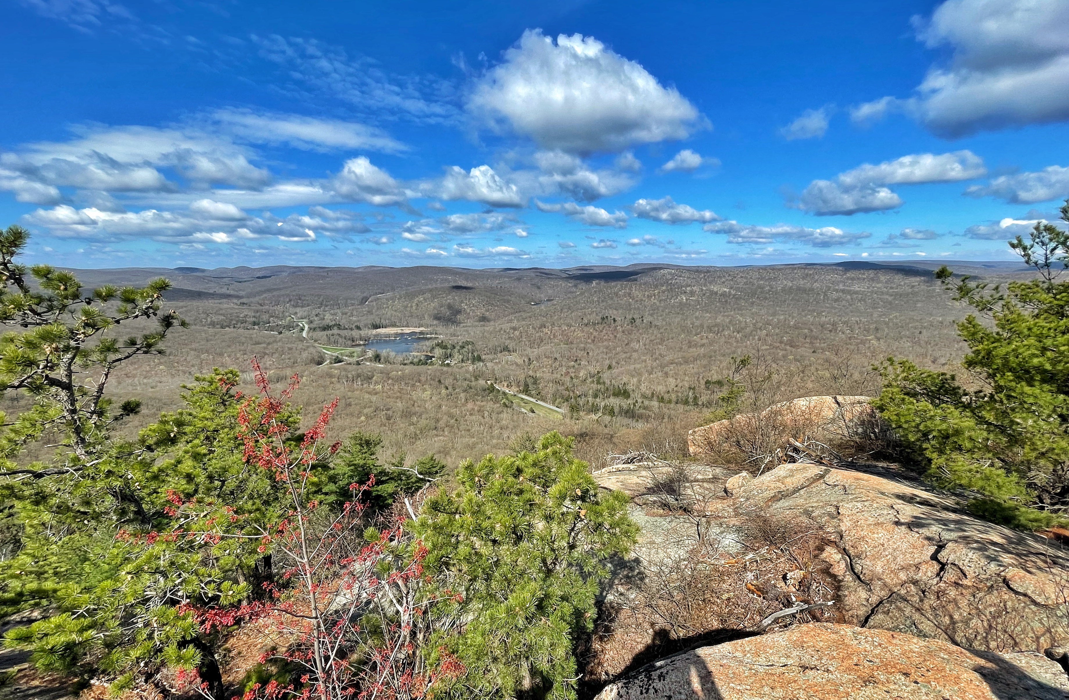
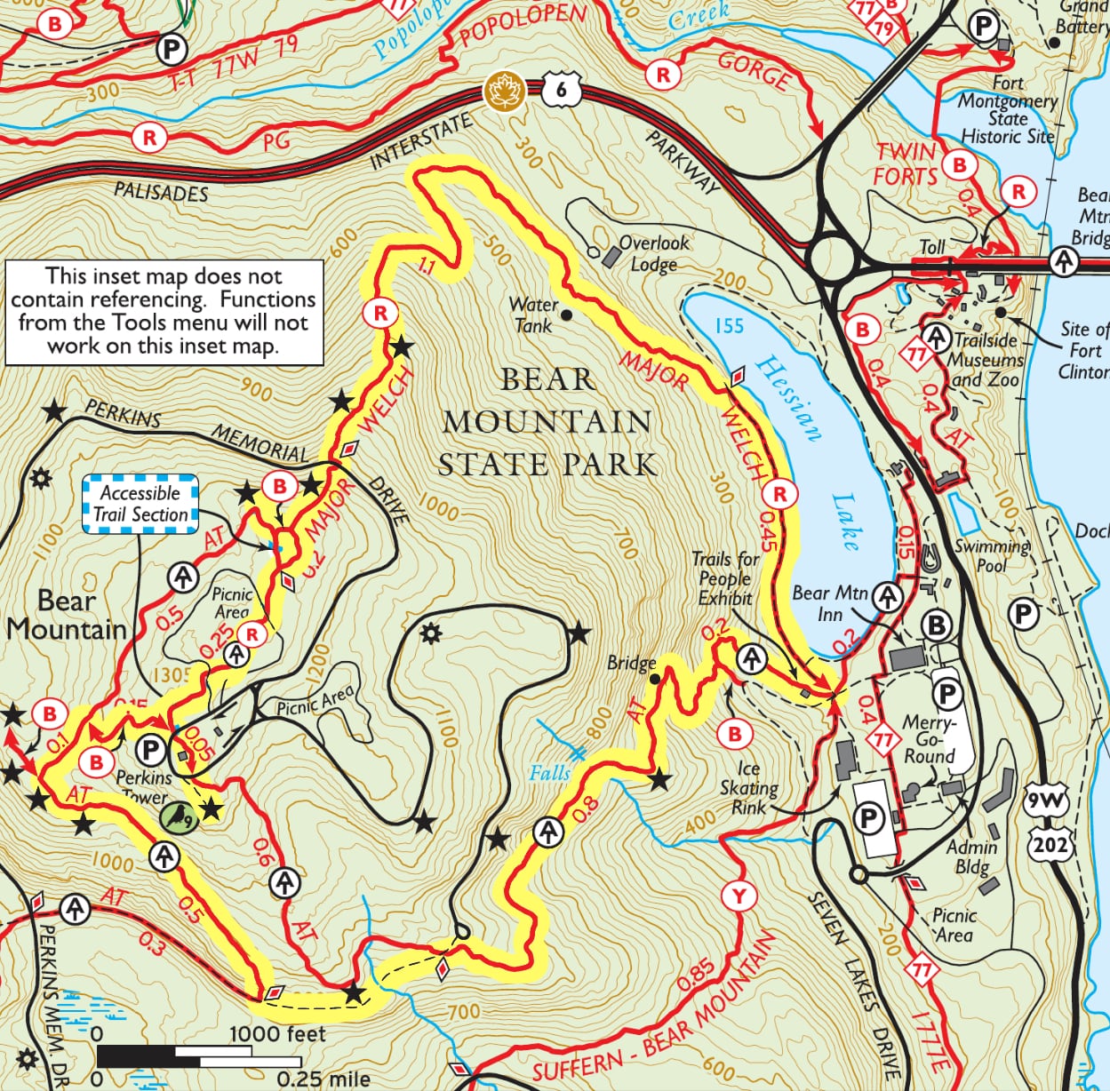
This loop of Bear Mountain provides multiple panoramic views from all sides – of the Hudson River, Bear Mountain Bridge, Anthonys Nose, and Harriman State Park – and passes the interesting “Moon Walk” on the western face. The loop mainly follows the Appalachian Trail as it climbs steeply to the top of Bear Mountain and descends even more steeply via the Major Welch Trail.
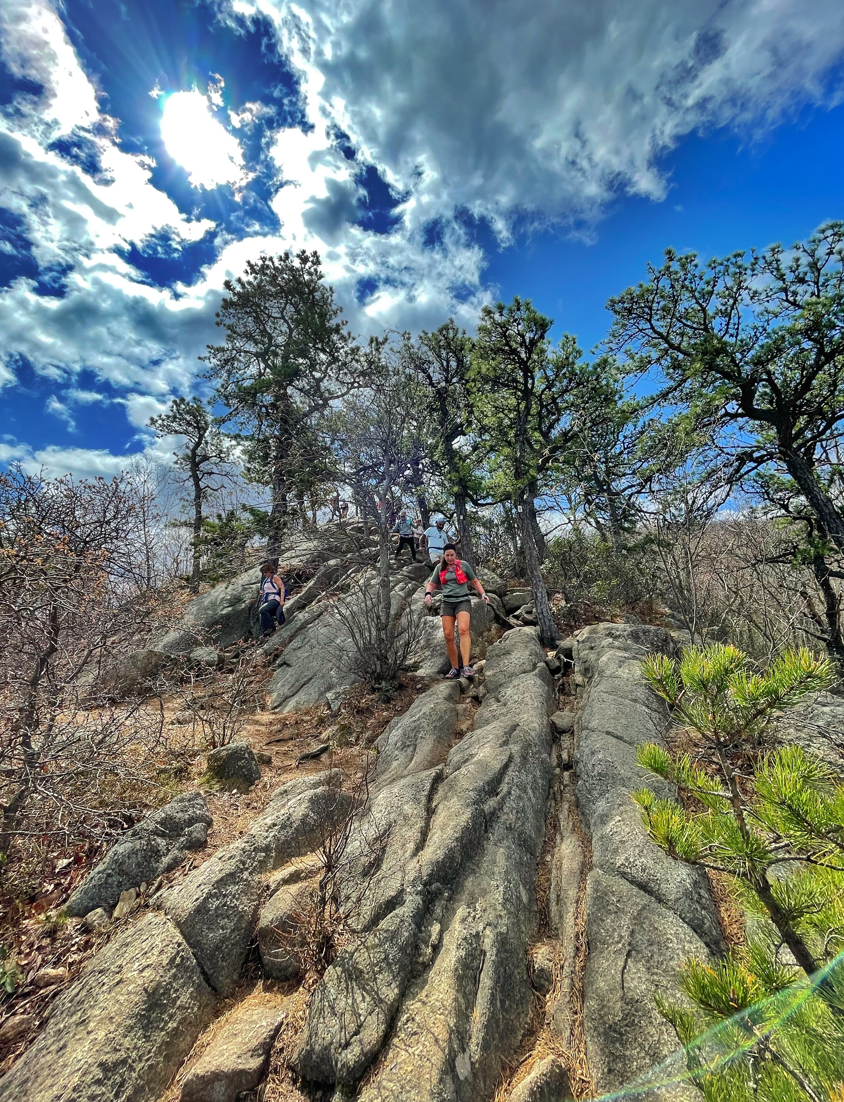
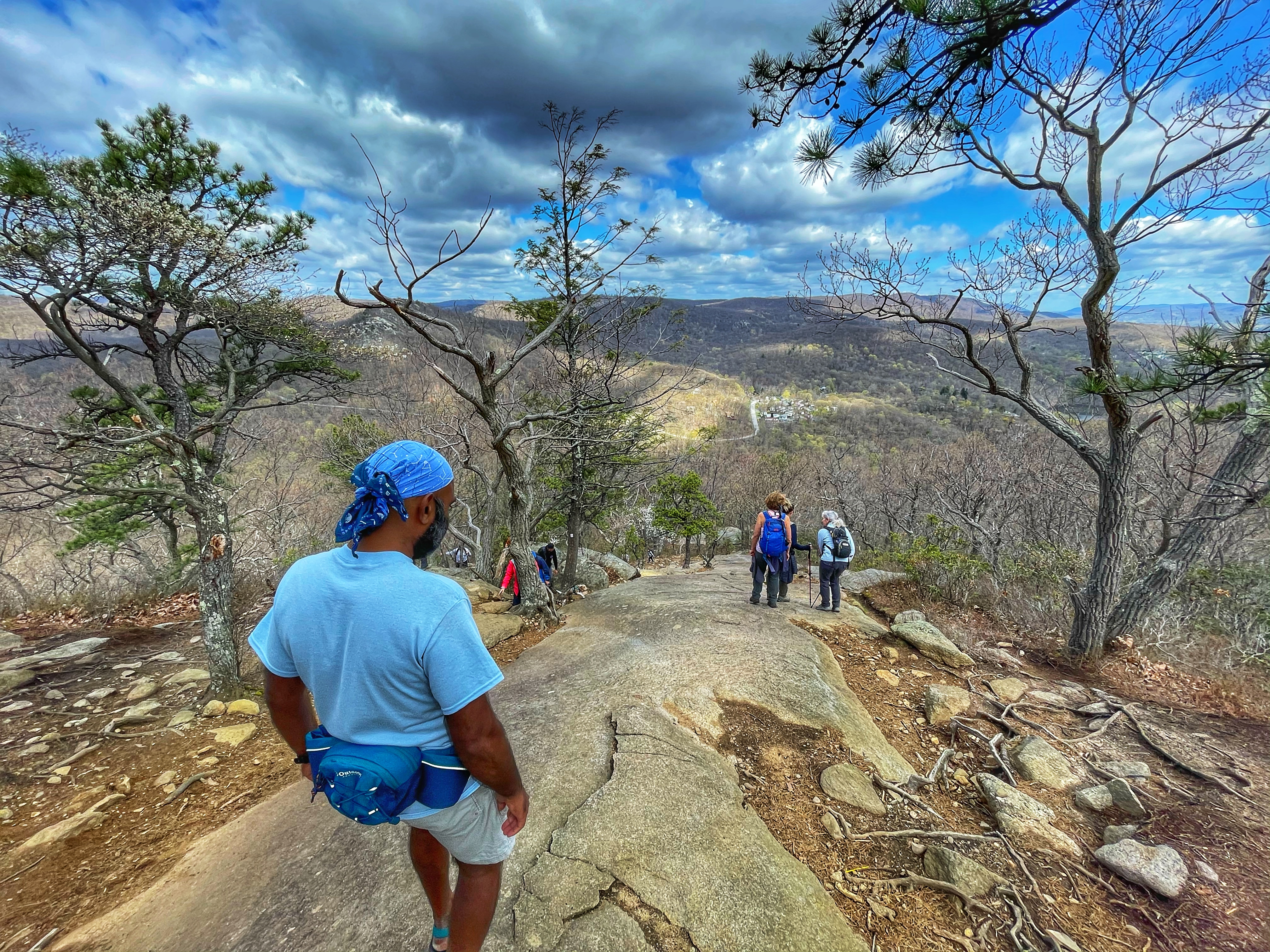
Be careful on the descent along the Major Welch Trail, which most people climb in the opposite direction. If it’s wet or icy, be extremely careful and make sure you know what you’re doing
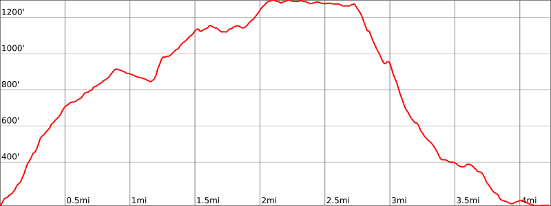
Length: 4.25 miles
Elevation gain: +1,390 feet
Location: Bear Mountain State Park.
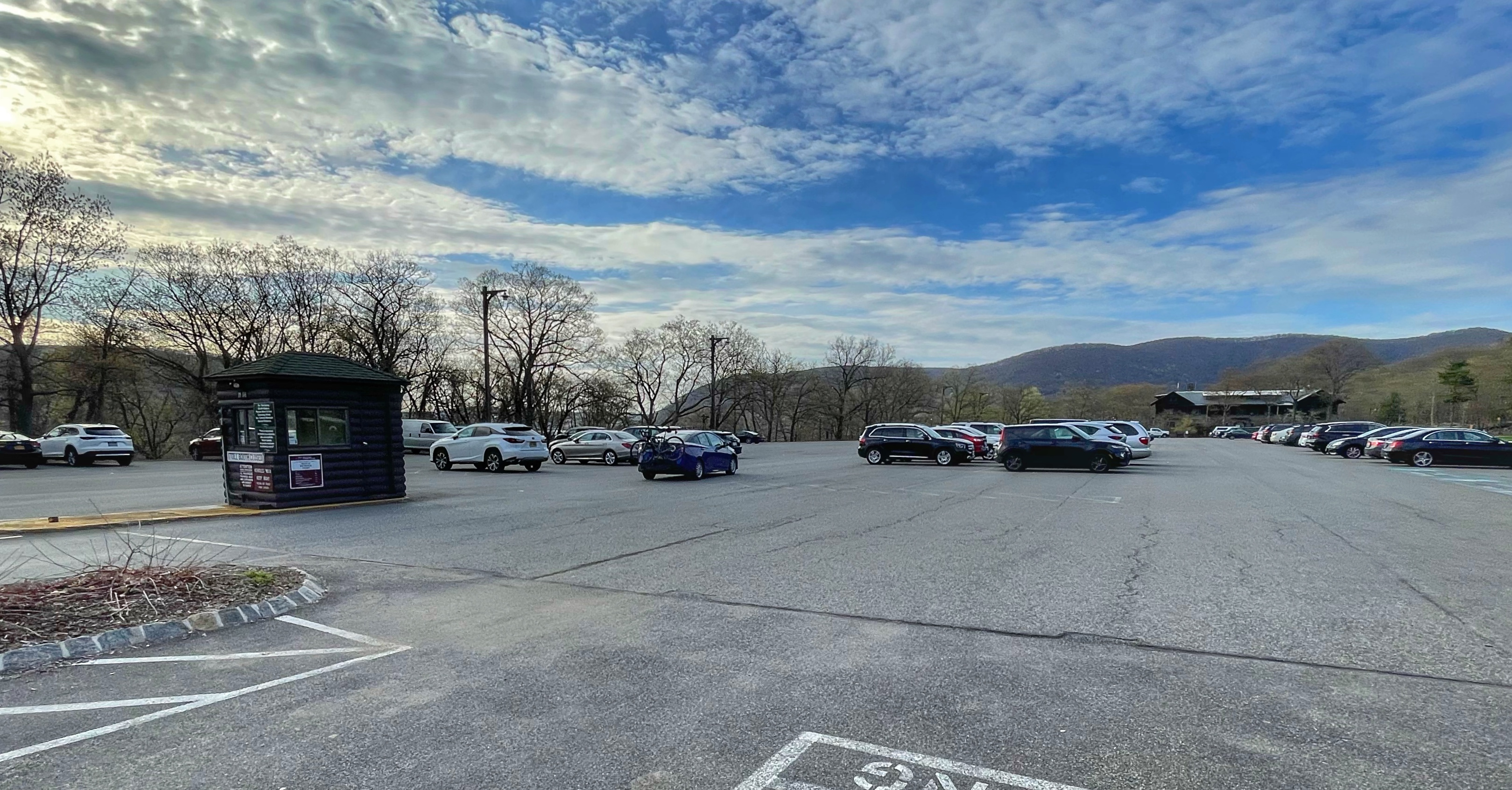
Parking: Park in the parking area, Lot 1. Google maps address: 3020 Seven Lakes Dr, Bear Mountain, NY 10911. Note: a $10 per vehicle fee is collected most weekends and holidays as well as summer weekdays if you arrive after 8am.
Maps:
- Harriman-Bear Mountain Trails Map – NY-NJ Trail Conference (print)
- Harriman-Bear Mountain Trails Map – NY-NJ Trail Conference (Avenza)
- Bear Mountain Hikes – NY-NJ Trail Conference (pdf)
- Bear Mountain Hikes – NY-NJ Trail Conference (Avenza)
- Bear Mountain State Park trail map (pdf) – NY Parks
Trail description
From the parking area, head west along the sidewalk next to the Bear Mountain Inn, with Hessian Lake on your right.
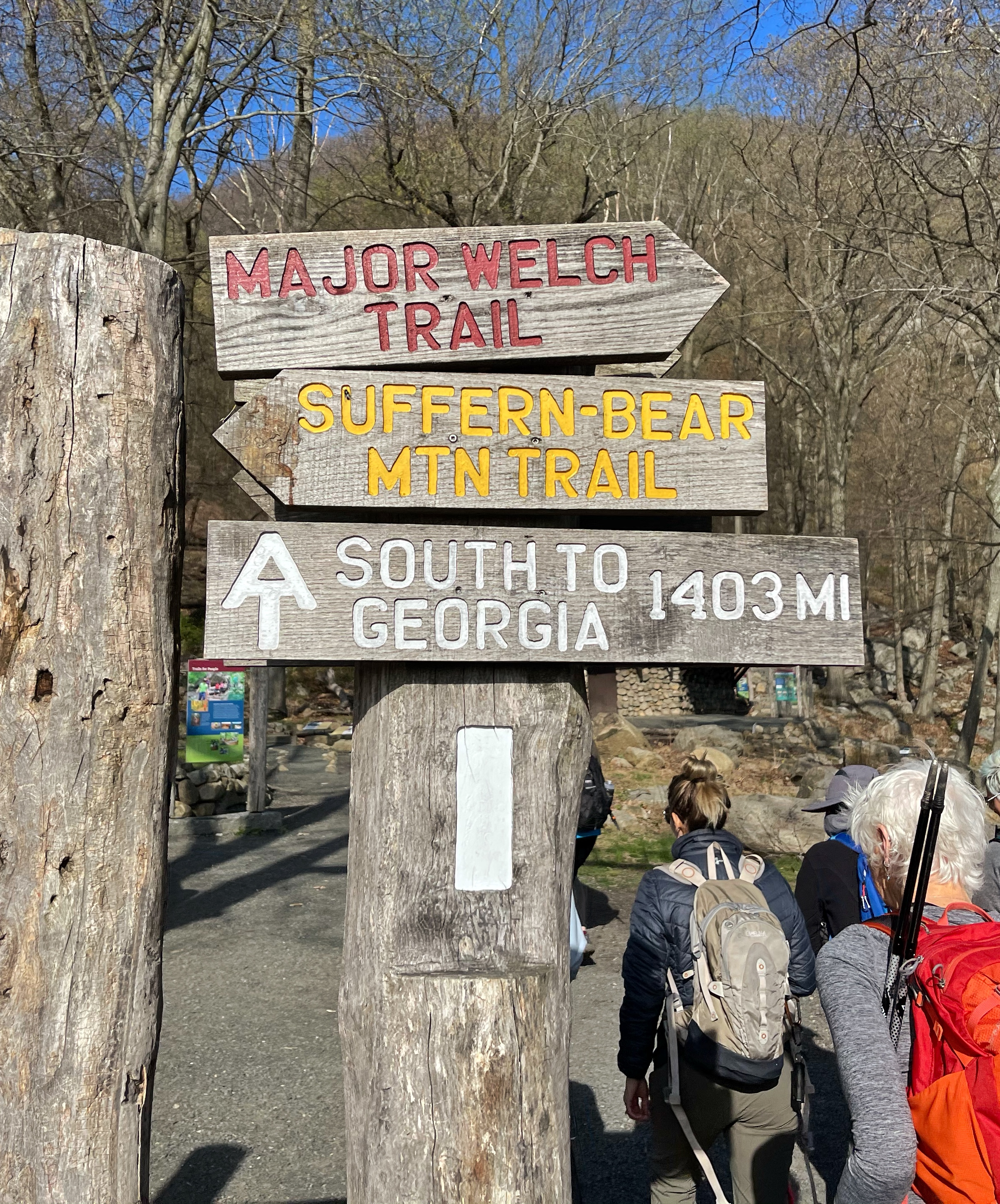
You’ll reach a junction of three trails – Appalachian Trail, Major Welch, and Suffern-Bear Mountain. Here we will go straight to follow the white-blazed Appalachian Trail.
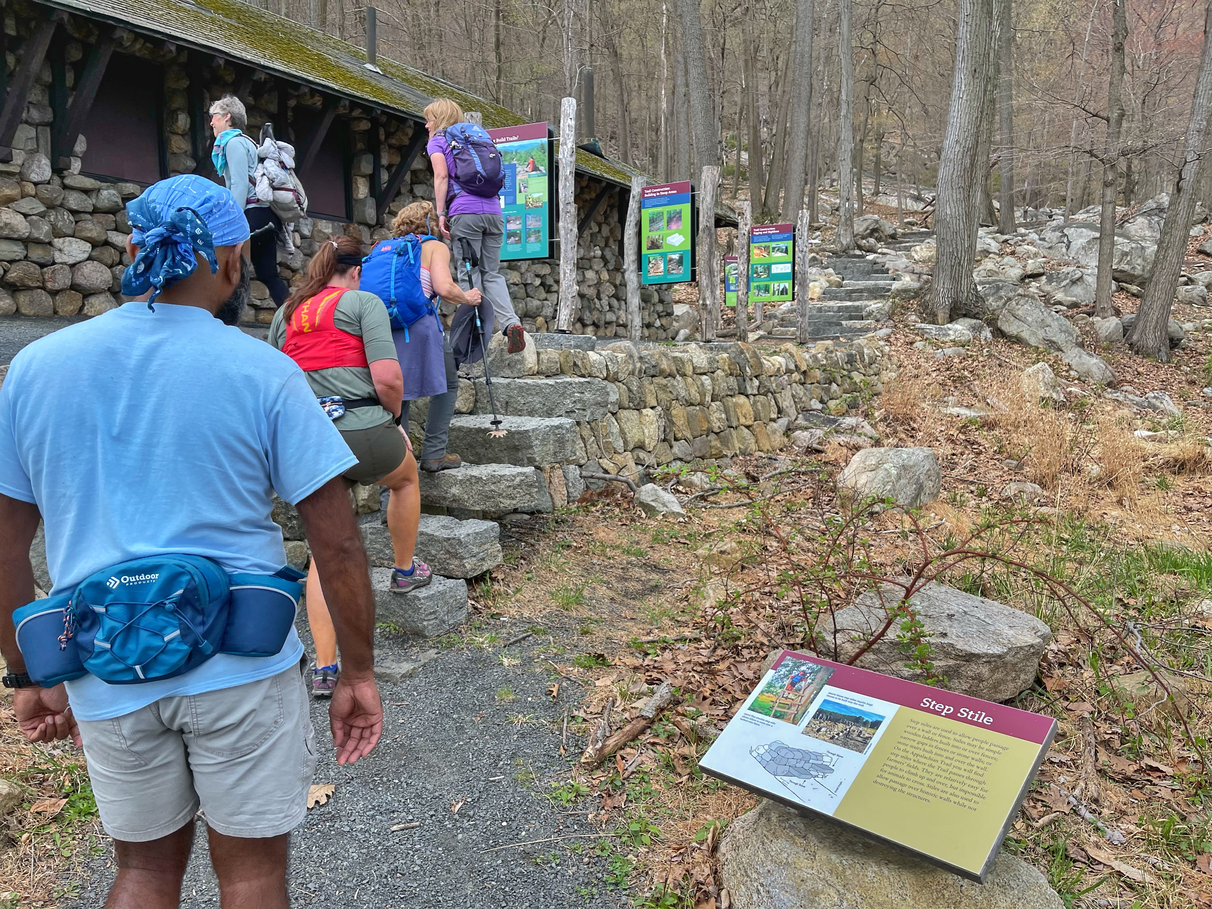
The trail begins by passing along a “Trails for People Exhibit” – a unique interactive exhibit which demonstrates various trail-building techniques.
Thirty-two educational signs and hands-on displays will inform novice and expert trail users alike about the Appalachian Trail’s origins at Bear Mountain State Park, how trails are built, and how volunteers are the lifeblood of our trail systems. Trail Conference volunteers alongside professional trail builders have rerouted the first 850 feet of the Appalachian Trail’s ascent of Bear Mountain, now known as the Trails for People Demonstration Trail. This Trail segment replaces a steep asphalt driveway and provides a first-hand look at how sustainable hiking trails are constructed. Interpretive signs and activity stations invite visitors to experience trail features such as bog bridges, turnpike, coping stones, crib walls, and step construction.
NY-NJ Trail Conference
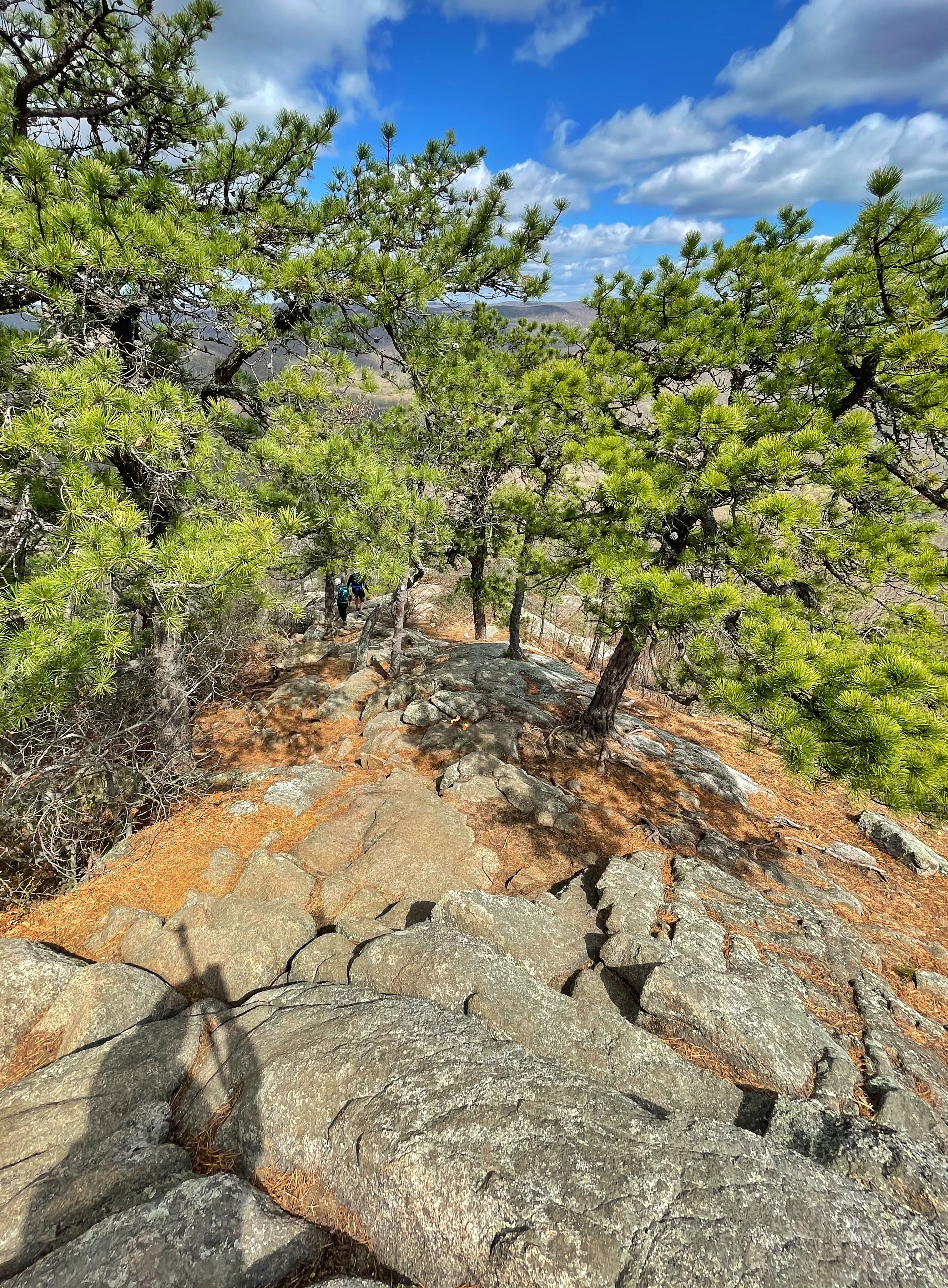
The trail now begins a steep ascent along stone stairs built by the NY-NJ Trail Conference to reroute and repair the previously badly eroded trail.
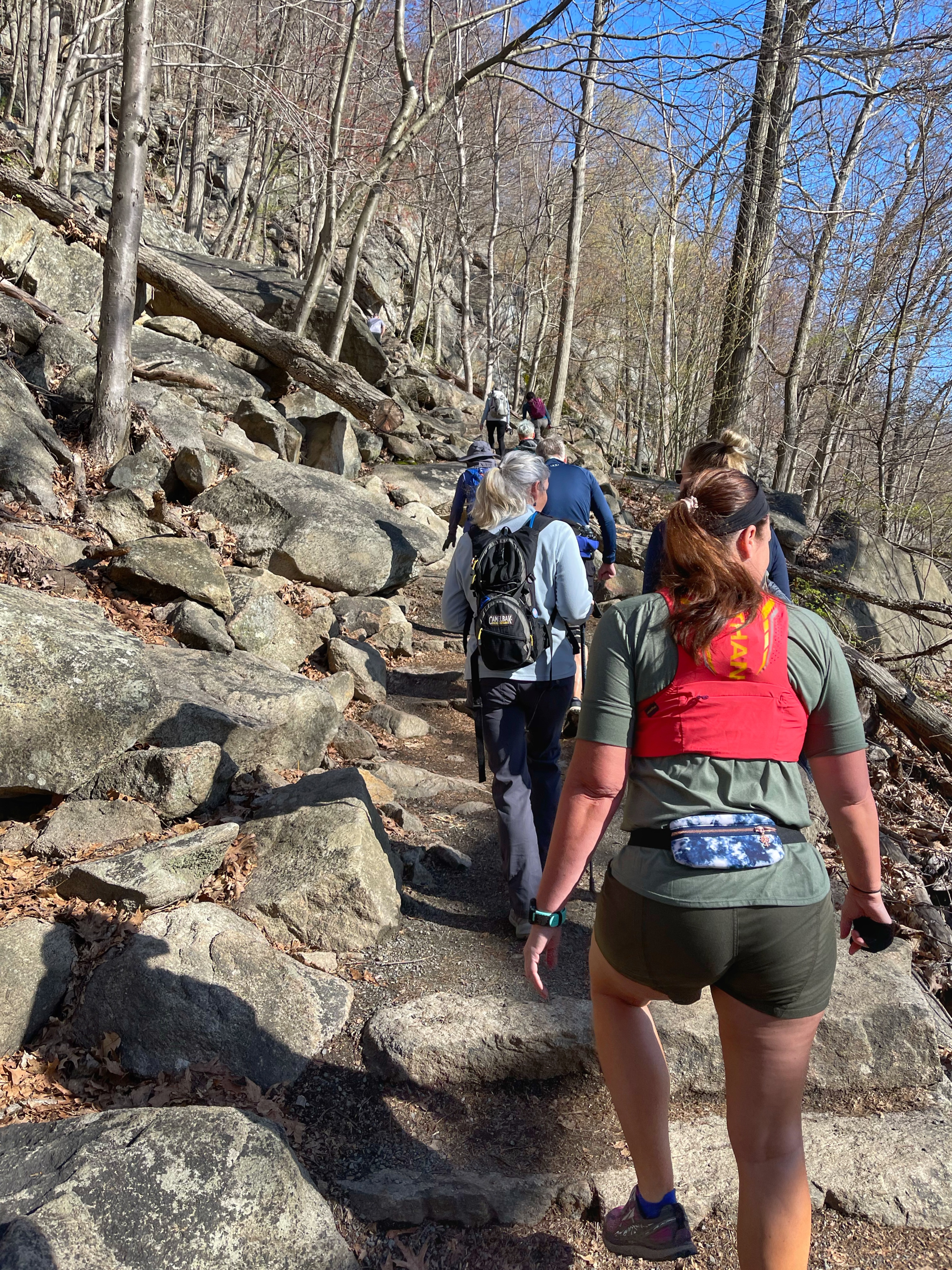
The trail crosses a bridge and then reaches a clearing with a bench and a viewpoint. From here, Iona Island is visible straight ahead in the Hudson River.

The trail continues to climb steeply for about another half mile and then reaches a junction with an old road – an abandoned section of the Scenic Drive. The Appalachian Trail here makes a turn to the right and uphill, but we will stay left and proceed on the unpaved road, which gradually descends. We’ll follow the road for about 1,000 feet, at which point the trail rejoins the Appalachian Trail.
Here, the Appalachian Trail southbound continues straight, but we will make a sharp turn to the right to follow the Appalachian Trail northbound as it climbs sharply uphill on stone stairs.
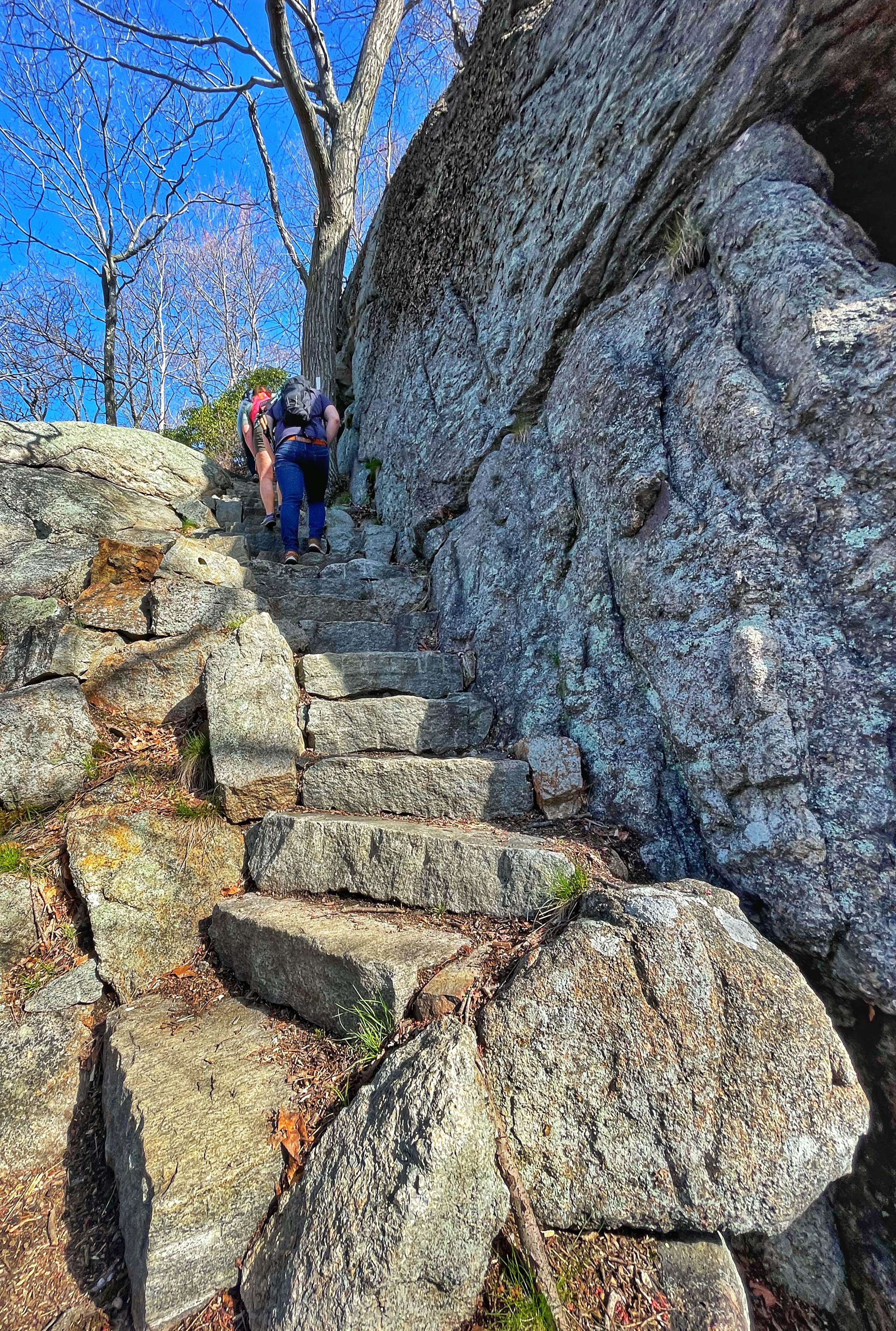
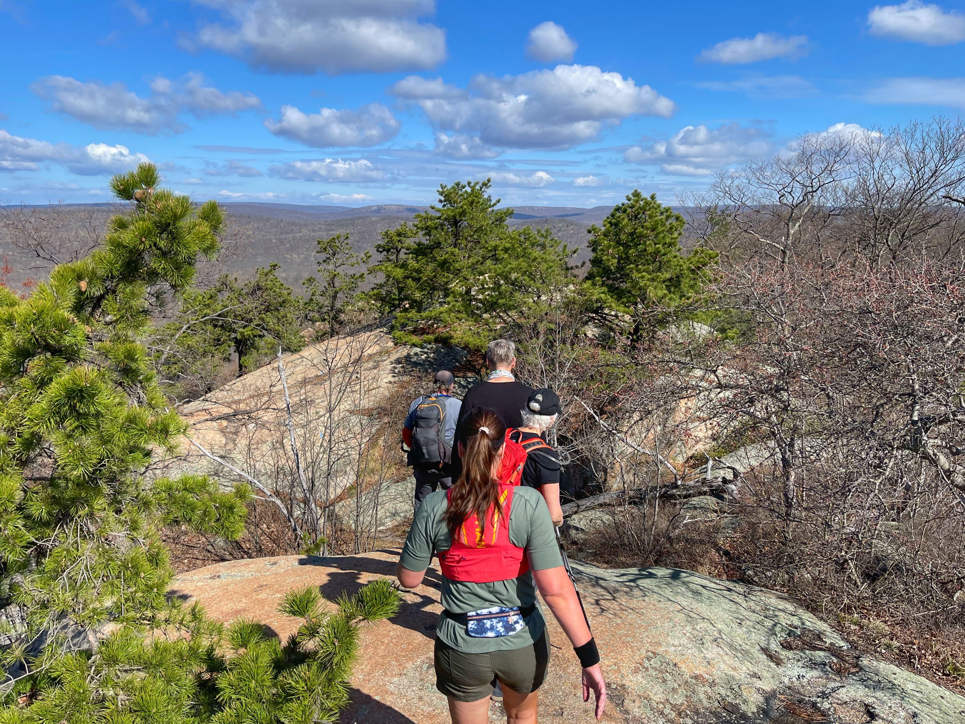
Following a climb of about 300 feet, you’ll reach the first of several clearings and viewpoints.
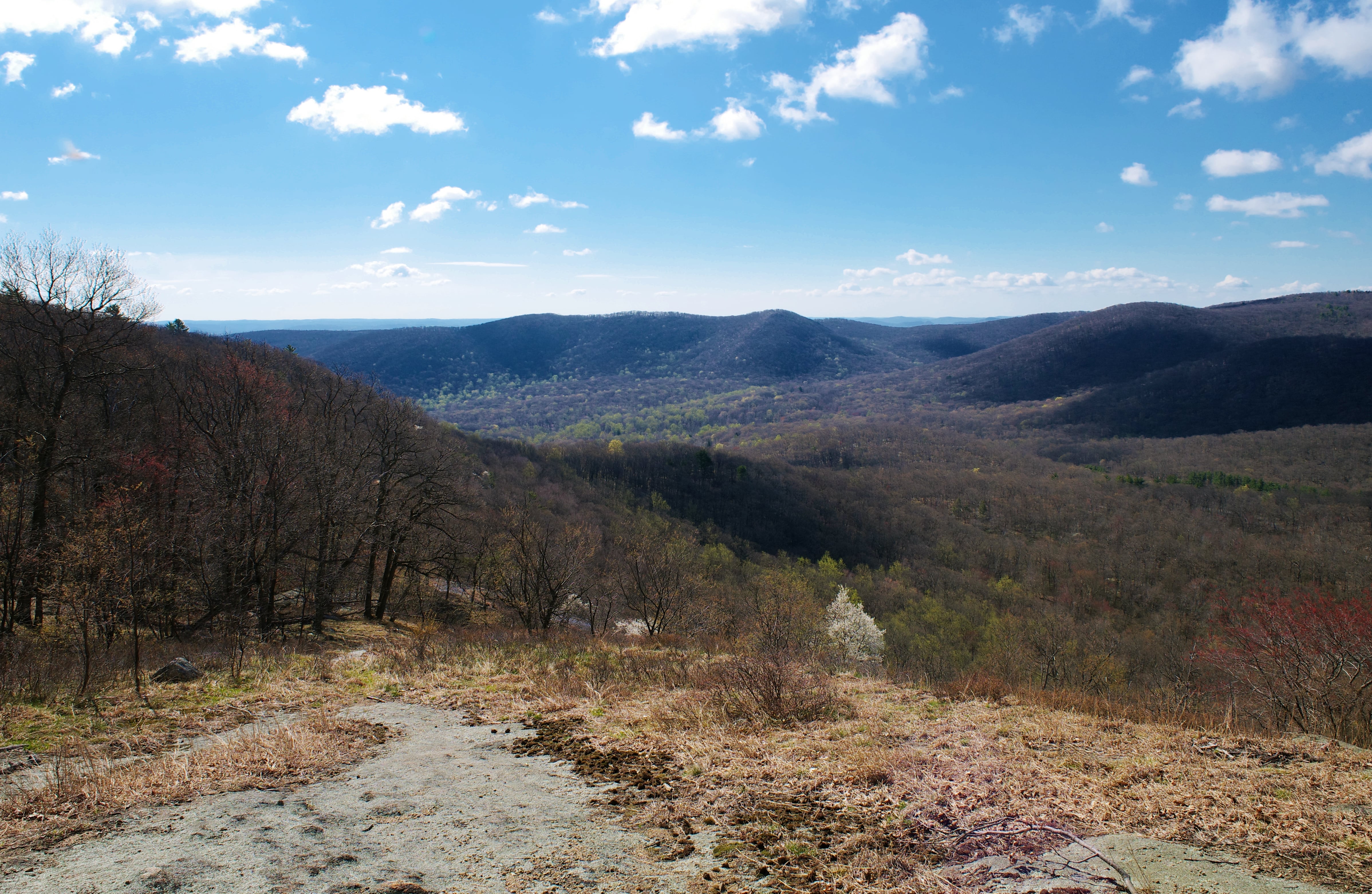
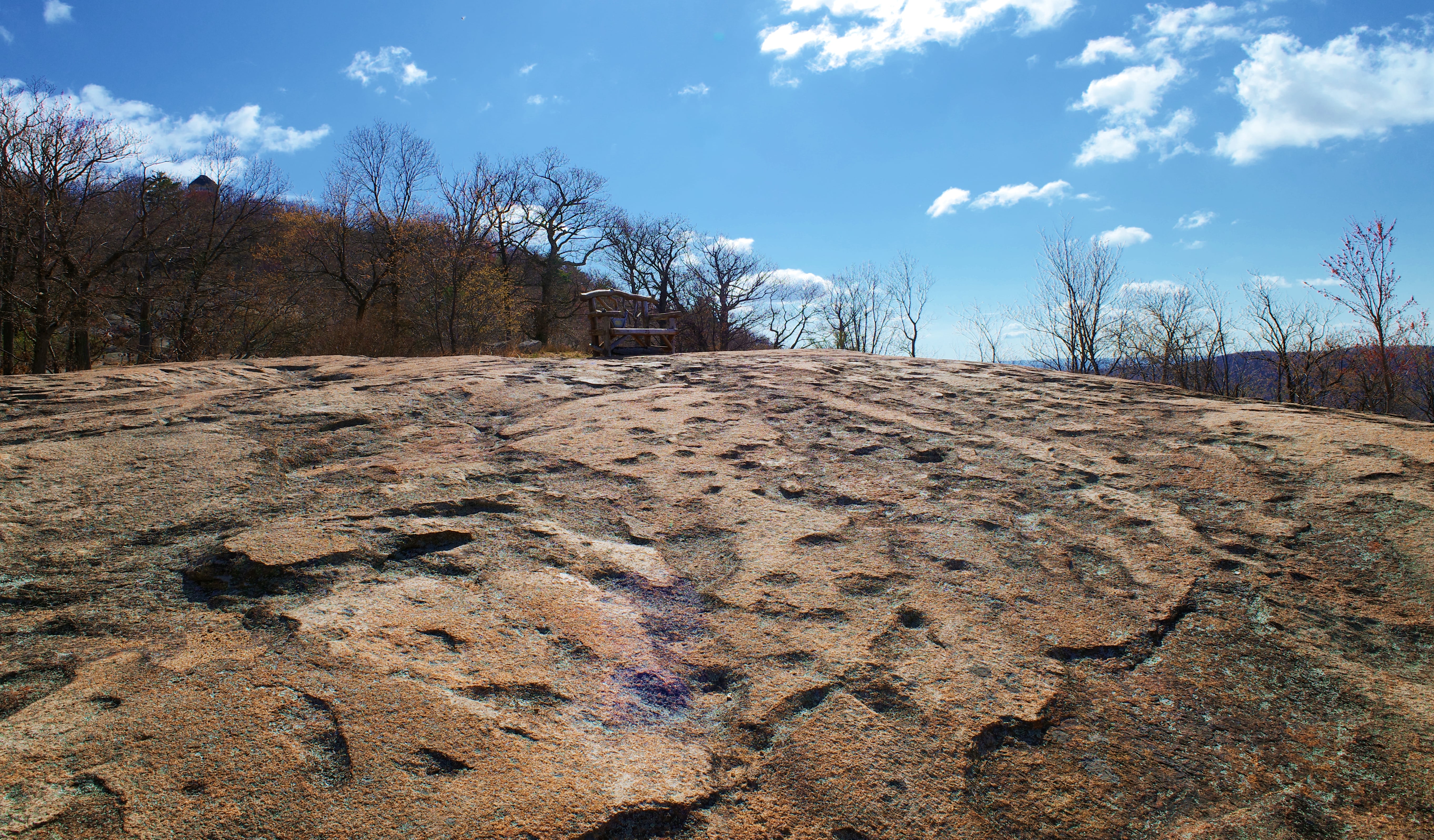
A short distance ahead you’ll reach a clearing with a decorative bench at the junction with a blue-blazed spur trail. Notice the pockmarked surface of the stone here, sometimes called the Moon Walk. From here you have unobstructed views into Harriman State Park to the south and west.
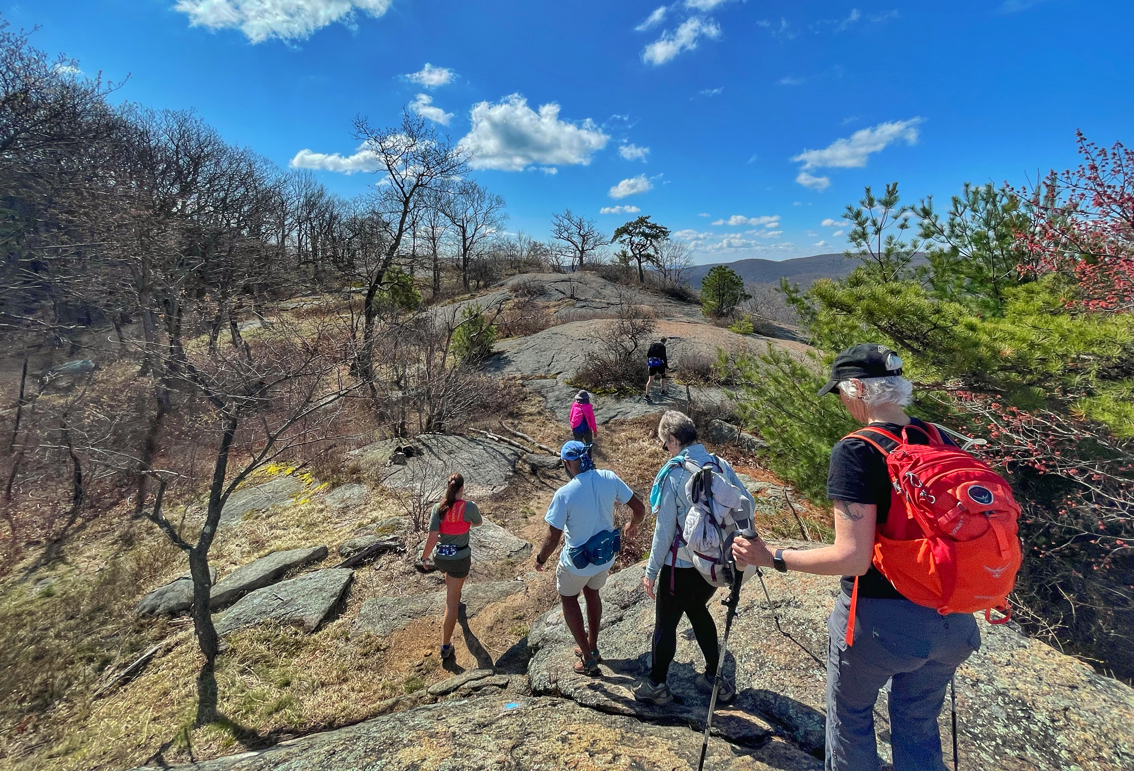
Here we’ll make a quick detour and follow the blue-blazed spur trail a short distance. You’ll need to look for the blue blazes marked on the ground. The spur ends at a viewpoint after about 500 feet.
Retrace your steps back to the spot with the bench and then turn left to follow the white blazes uphill (if you continue straight instead you would return in the direction you came). After 0.1 miles, you’ll reach a junction with another blue-blazed trail. Turn right to follow this trail 0.15 miles until you reach Perkins Memorial Drive. Continue straight and now follow the white-blazed Appalachian Trail and red ring-on-white-blazed Major Welch Trail past the Perkins Memorial Tower.
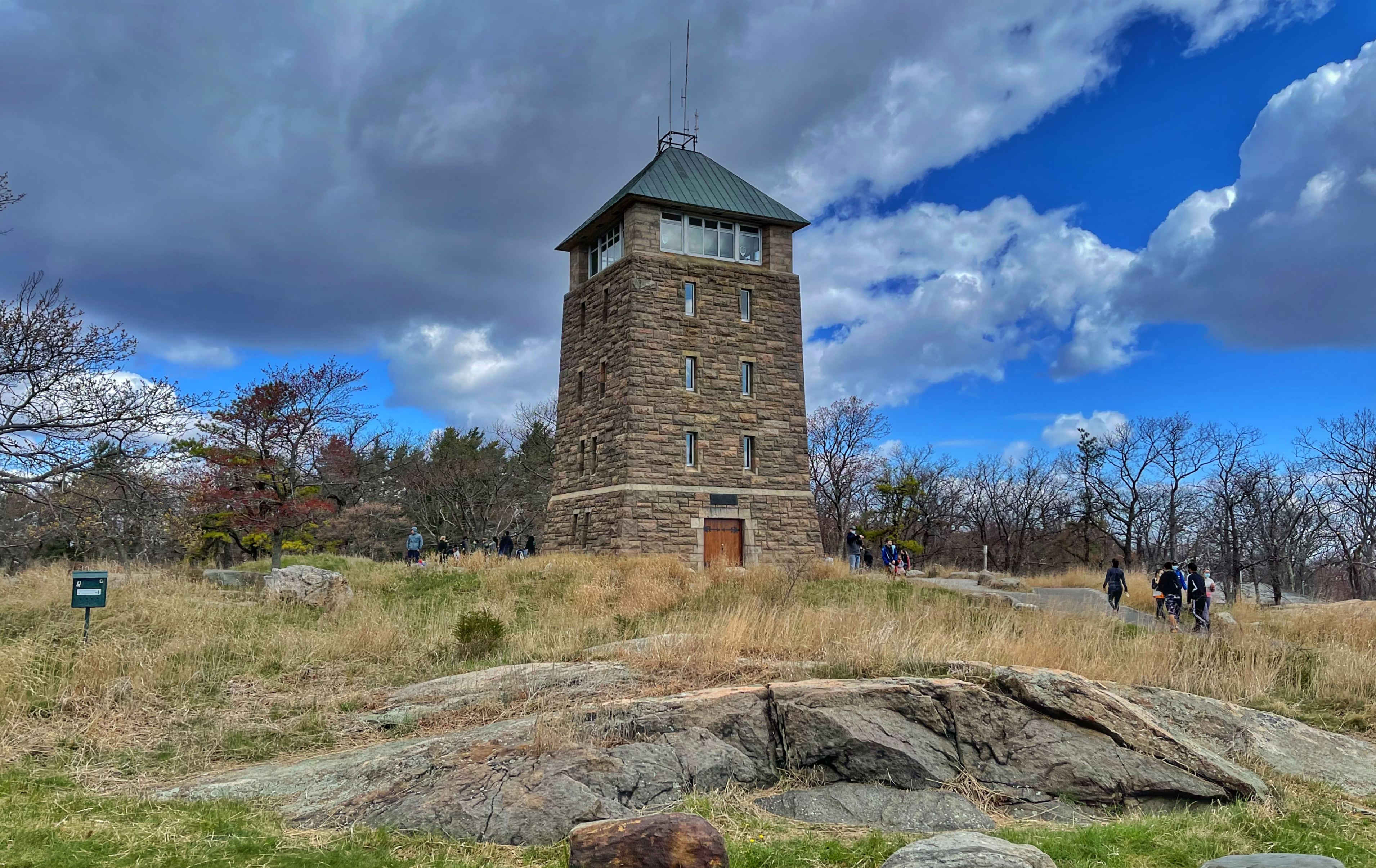
Perkins Memorial Tower and Perkins Memorial Drive were built as a memorial to George W. Perkins, first President of the Palisades Interstate Park Commission. Visitors may climb the tower which features historical displays and an observation level that offers extensive views. The Tower and Drive are closed in the winter and during inclement weather.
NY-NJ Trail Conference, Harriman Bear Mountain Trails Map
Continue past the tower and cross Perkins Memorial Drive once again to reach a clearing with plenty of areas to sit and relax with panoramic views to east, south, and west. You can drive up Perkins Memorial Drive to reach this part of the mountain, so it’s often crowded here.
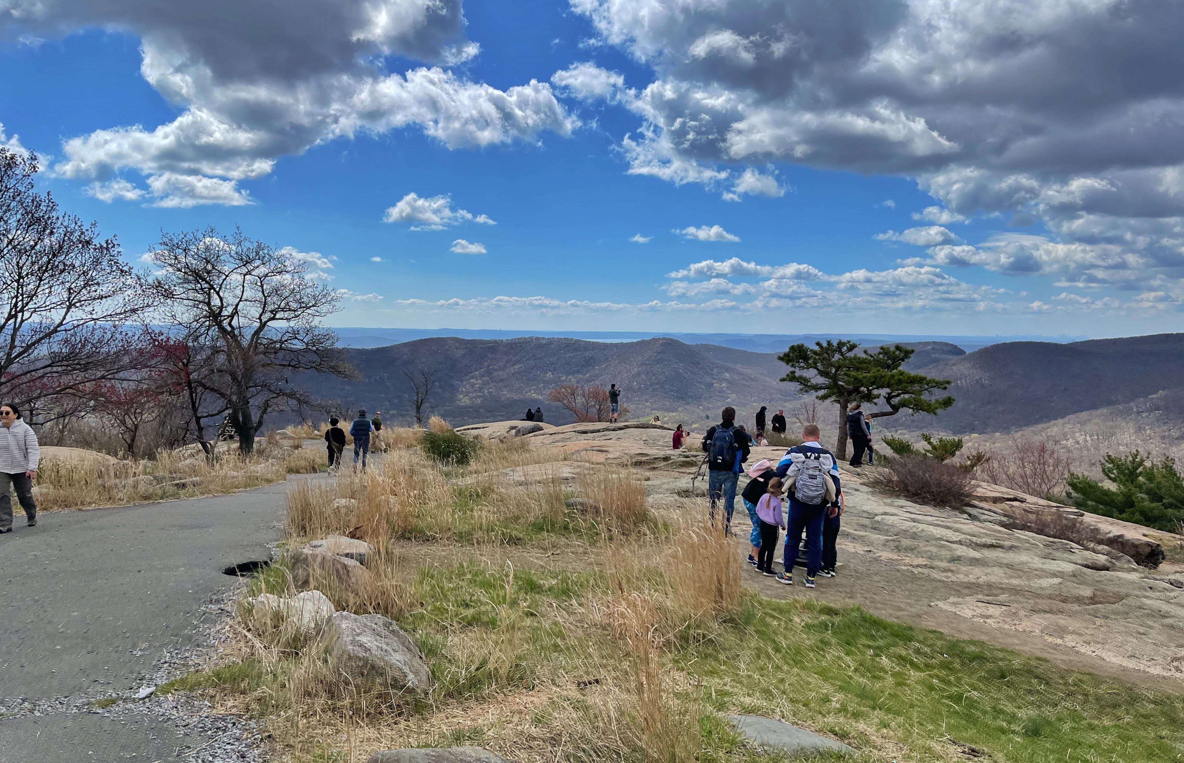
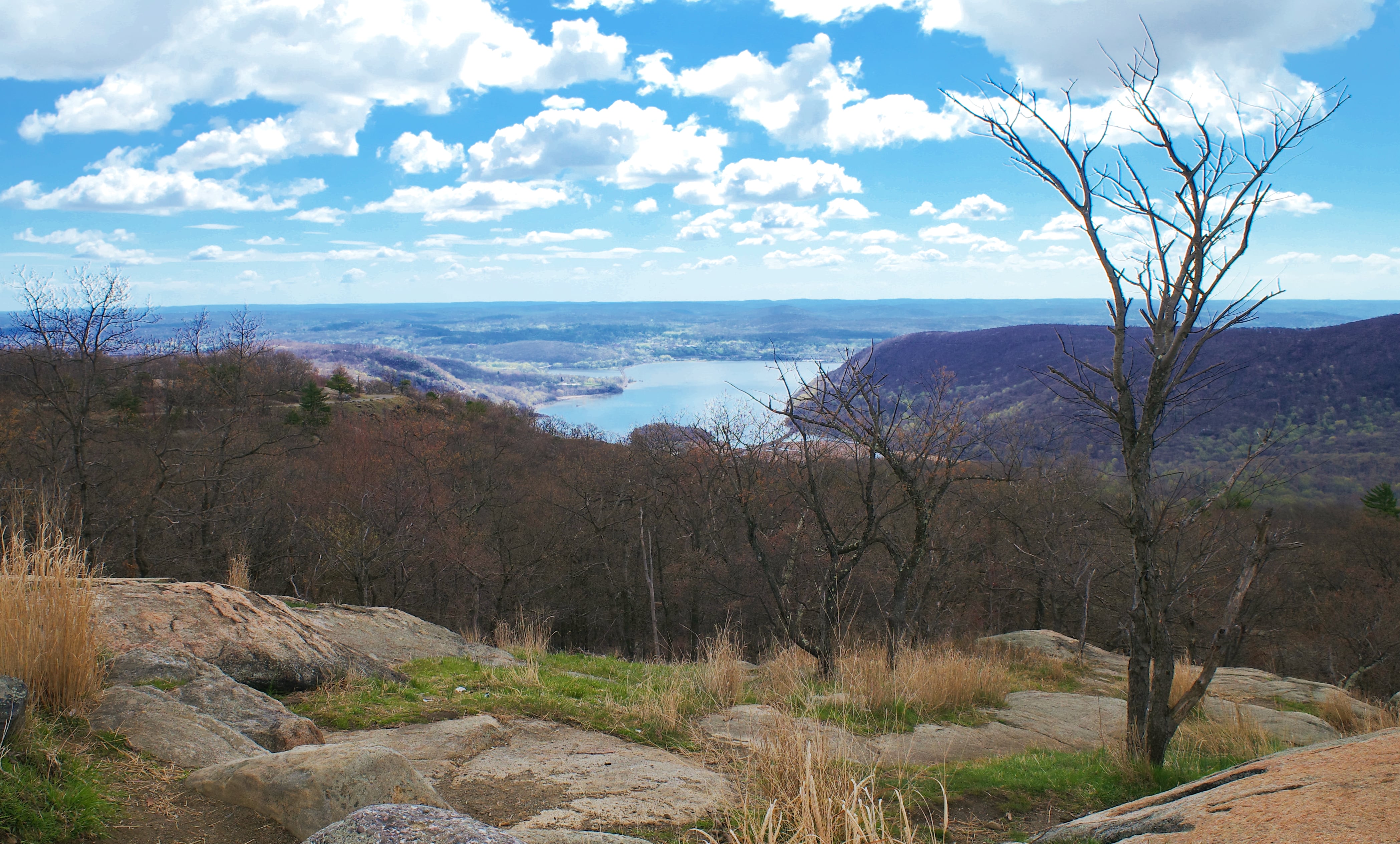
This is a great spot for a snack break. When you’re ready to continue, retrace your steps past the Perkins Memorial Tower and then stay right to follow the Appalachian Trail and red ring-on-white-blazed Major Welch Trail through a relatively level, gravel, wheelchair-accessible trail section.
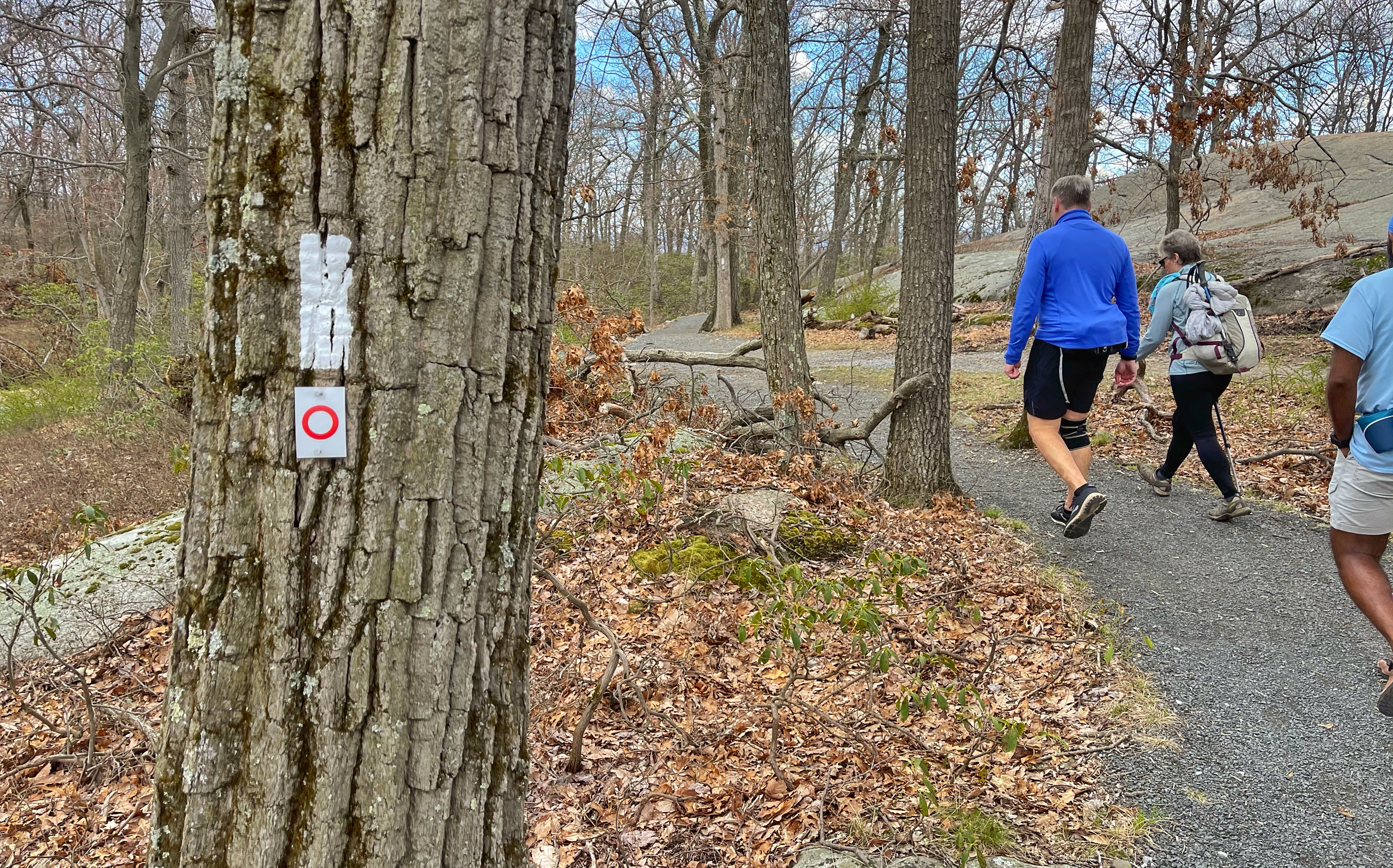
At a junction, stay left to follow the accessible trail along the Appalachian Trail until it ends at a viewpoint.
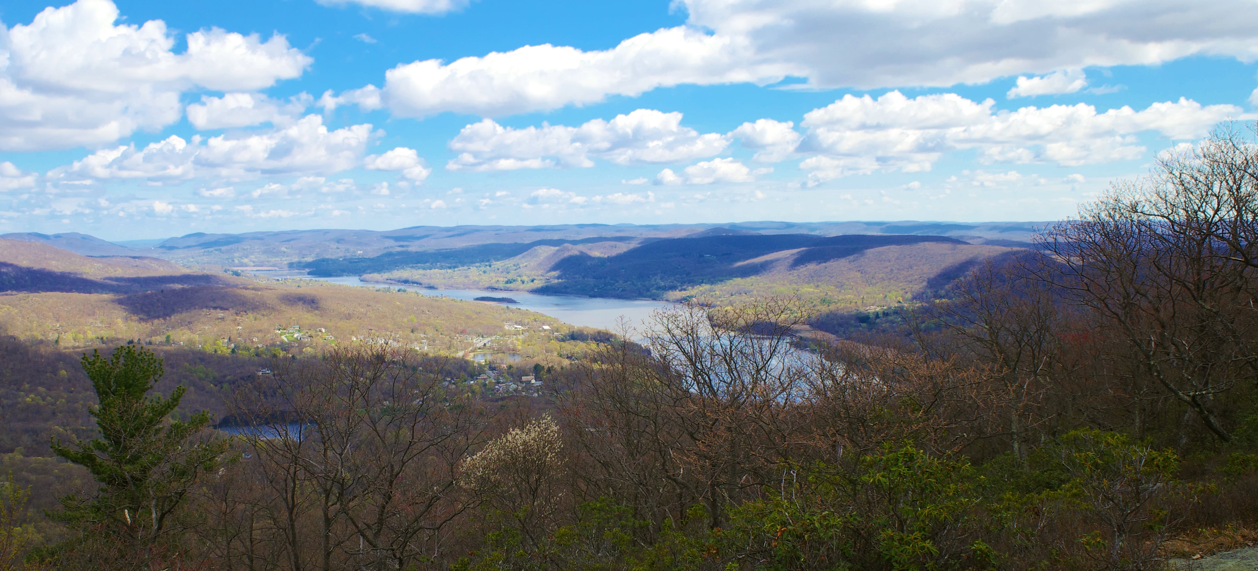
Retrace your steps and then follow the blue-blazed spur trail a short distance to the east to the junction with the Major Welch Trail. From here, we will follow the red ring-on-white-blazed Major Welch Trail the entire way back to the junction with the AT at the bottom, where we started.
A sign just before the descent warns that “Sturdy laced footwear is recommended.” Because of the steepness, most people choose to do this trail in the other direction. If the trail is wet or icy, I do not recommend going down this section unless you know what you’re doing.
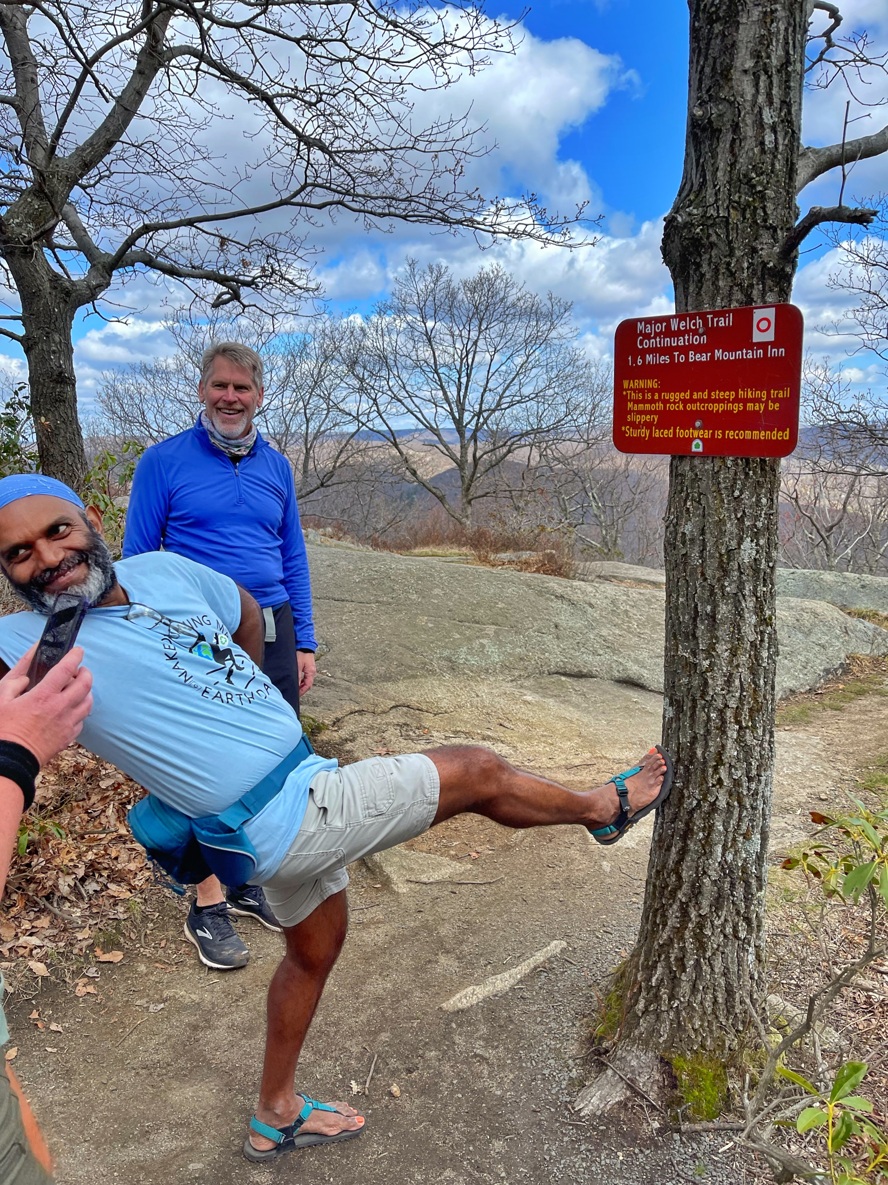
For the next half to 3/4 miles, the trail descends very steeply at times but offers some spectacular views along the way. A short distance ahead, the trail crosses Perkins Memorial Drive once again. Crossing the street diagonally to the left, the trail steeply descends a retaining wall on the other side. The trail continues its steep descent before reaching an outcrop with views of the Hudson River, Bear Mountain Bridge, and Anthonys Nose.
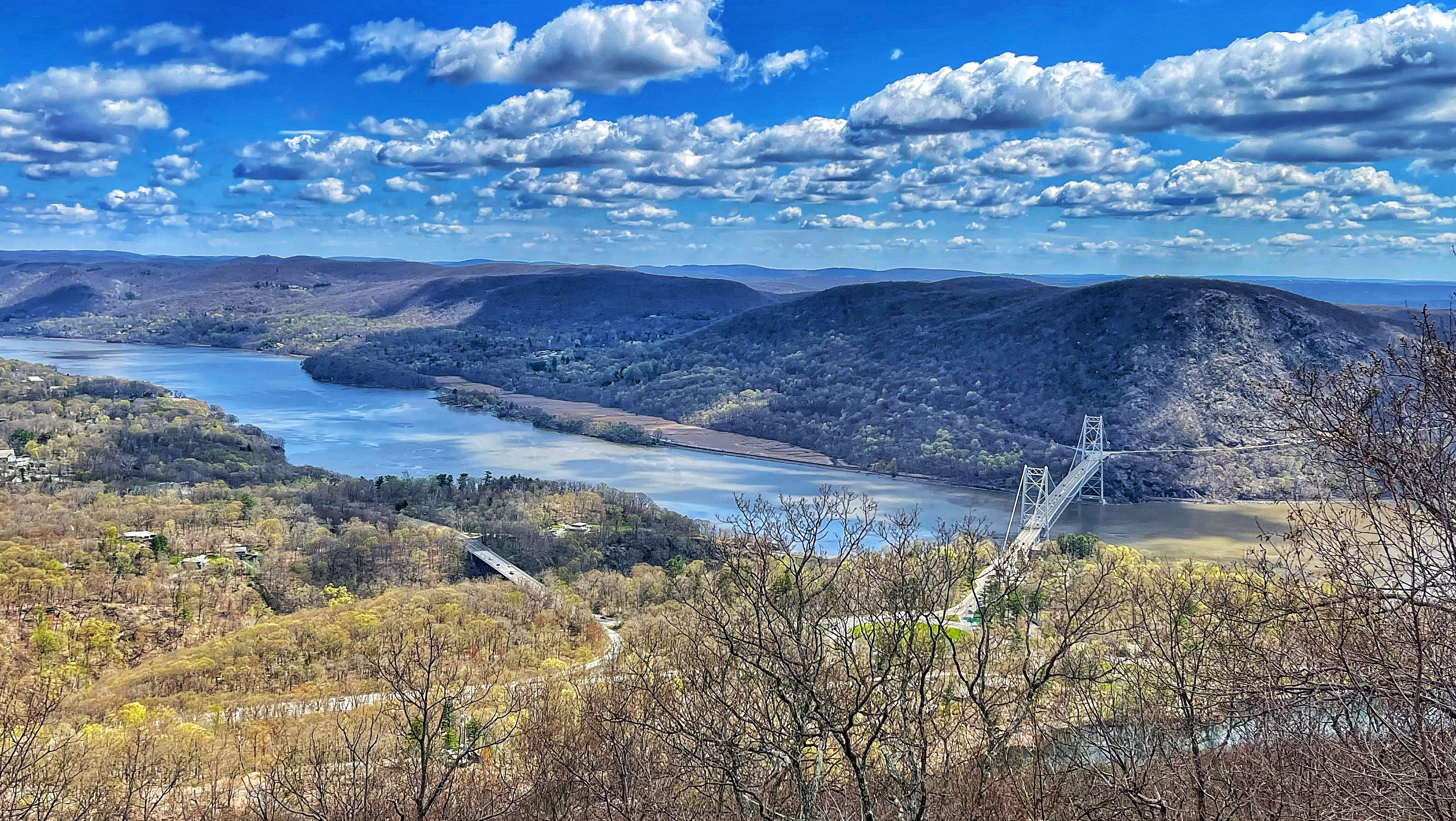
From here, the trail continues its steep descent.
Finally, the trail joins a paved path along the side of Hessian Lake.
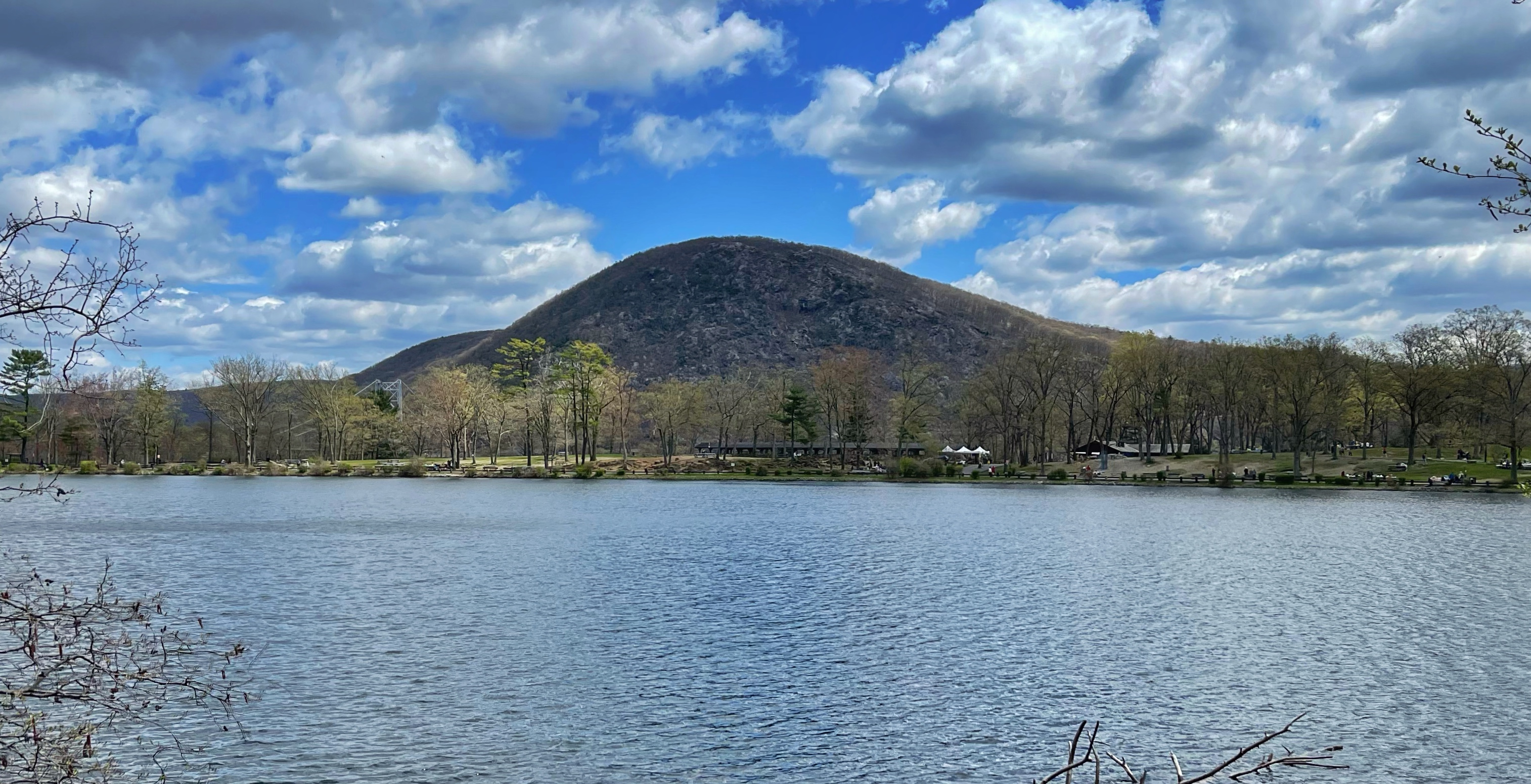
The trail continues for 0.45 miles to a junction with the Appalachian Trail and the Suffern-Bear Mountain Trail – where we started. From here, turn left and follow the path past the Bear Mountain Inn and back towards the parking lot.

