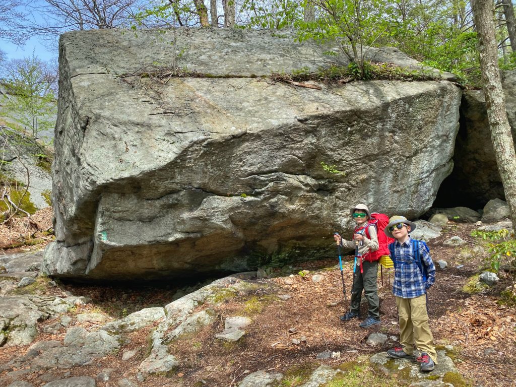
Overview: This 5-mile out-and-back hike follows a unique and picturesque section of the Ramapo Dunderberg Trail, following ridges with large amounts of exposed rock, large glacial erratics, and views of rolling hills. The hike can be turned into an easy overnight trip with a stay at the Bald Rocks Shelter.
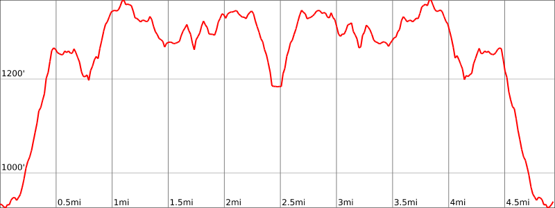
Hike Length: 5.0 miles (2.5 miles out and back)
Elevation gain: +1,268 feet
Location: Harriman State Park, Ramapo, NY
About Harriman State Park: Harriman State Park is the second-largest park in the New York parks system, with 31 lakes and reservoirs, 200 miles of hiking trails, two beaches, two public camping areas, a network of group camps, miles of streams and scenic roads, and scores of wildlife species, vistas and vantage points.
Parking: Park at the hikers’ parking on the side of Route 106, approximately 2 miles west of the Kanawauke Circle. GPS Address: 1184 Kanawauke Rd, Southfields, NY 10975
Map:
- Harriman State Park map (NY State Parks)
- NY-NJ Trail Conference Harriman-Bear Mountain Trails (Trail Map #118)
- National Geographic – Harriman, Bear Mountain, Sterling Forest State Parks Map

Trail Description:
Beginning at the parking lot on the side of the road, follow the Ramapo Dunderberg (R-D) Trail (red-dot-on-white blazes) steeply up hill. After a half mile, you’ll reach the junction with the Nurian Trail and you’ll be rewarded with your first great view.
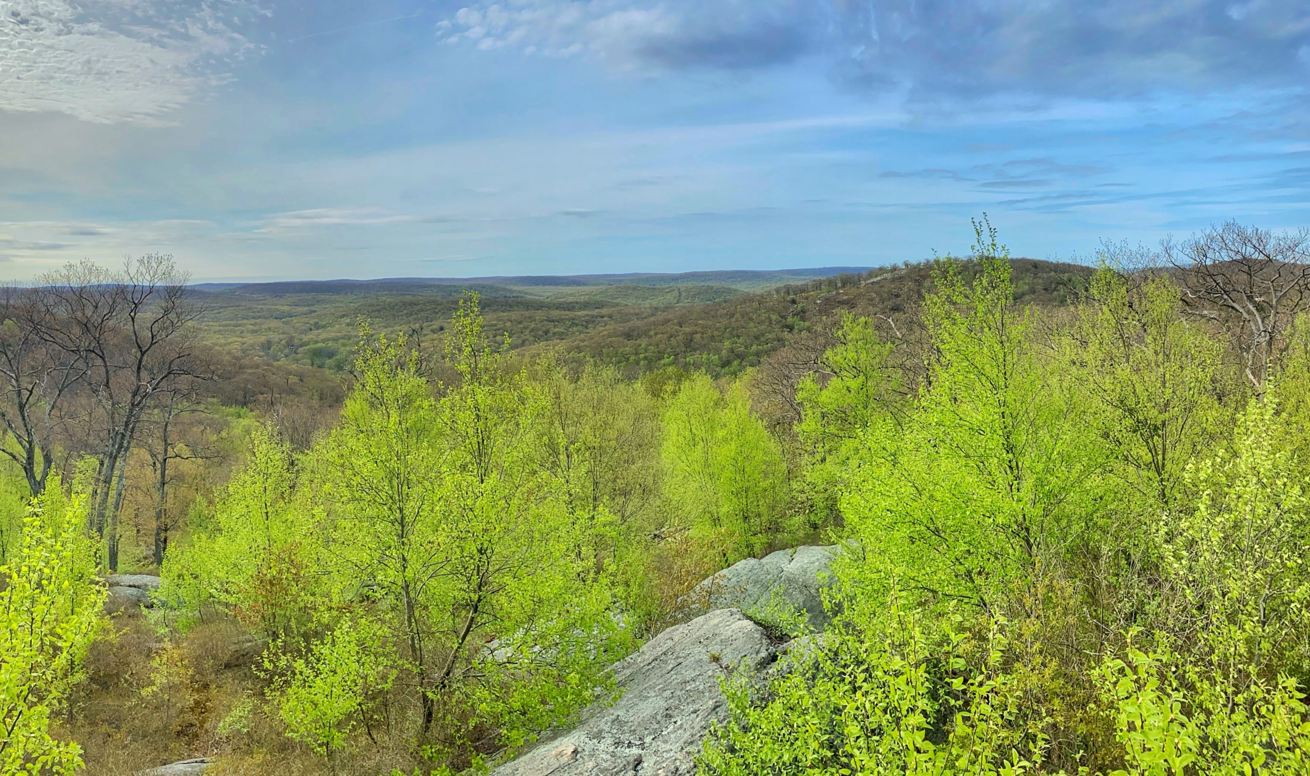
Continue to follow the R-D trail, and in about a quarter mile you’ll be rewarded with another view to the north and west.
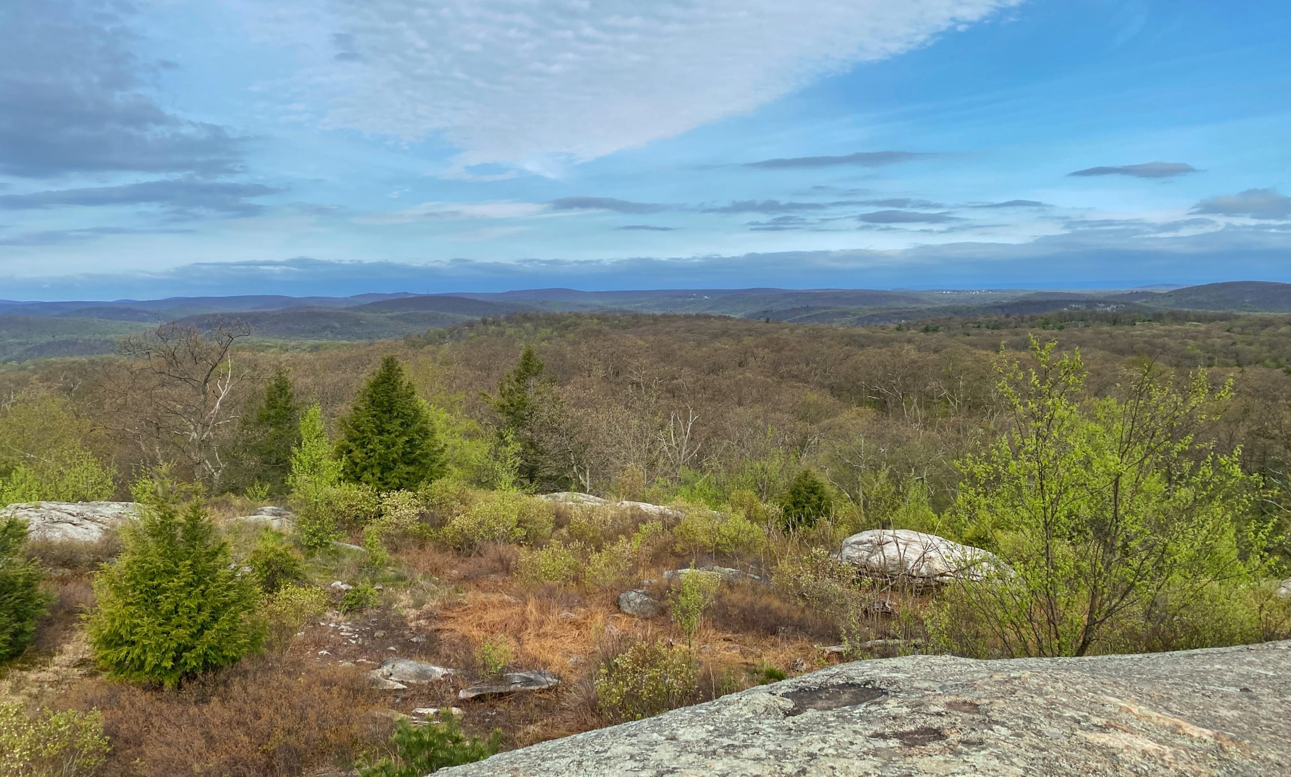
After another half mile or so, you will reach the Bald Rocks Shelter. Warning: bears are known to frequent the area. Be sure to secure your food properly with a good hang.

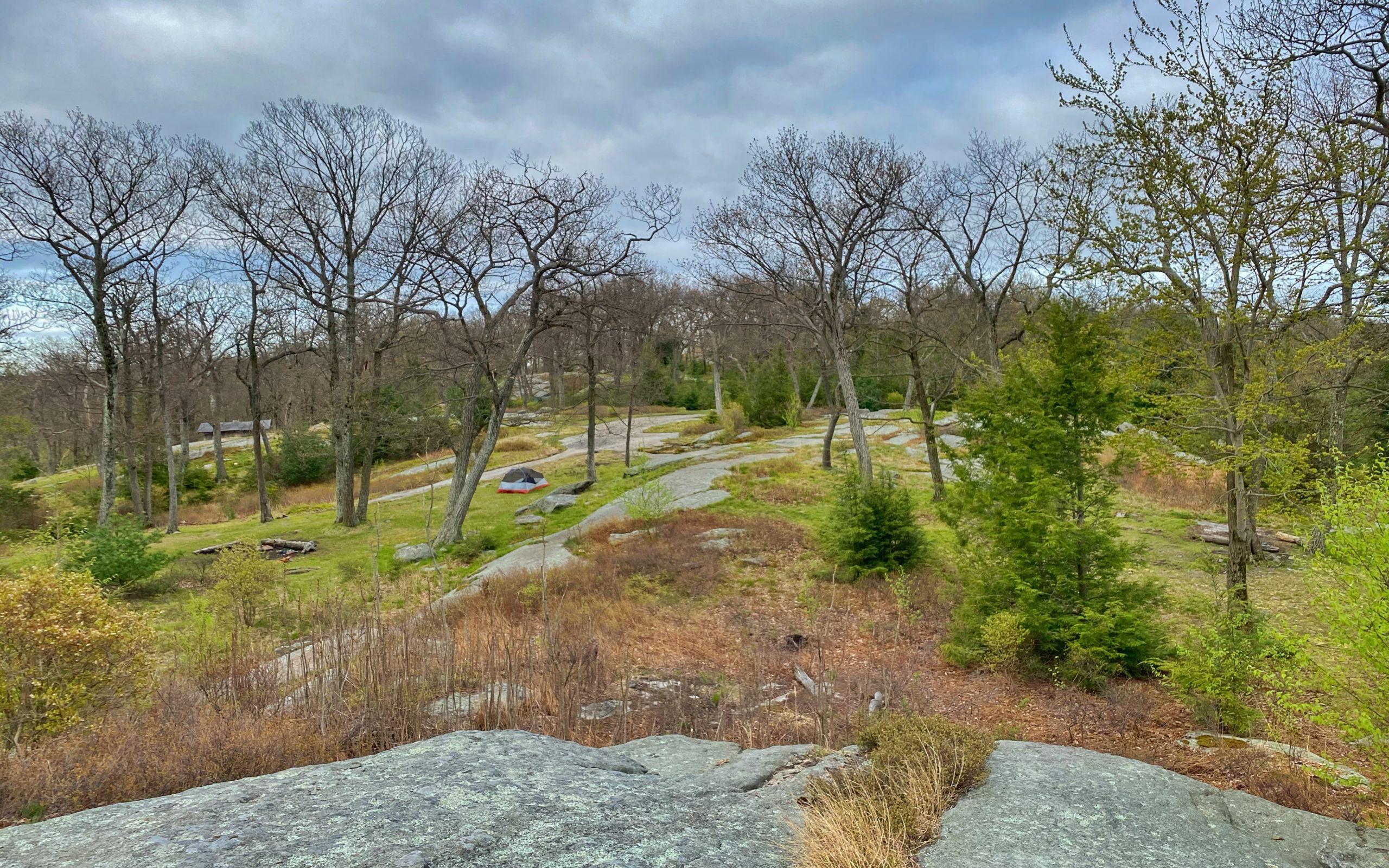
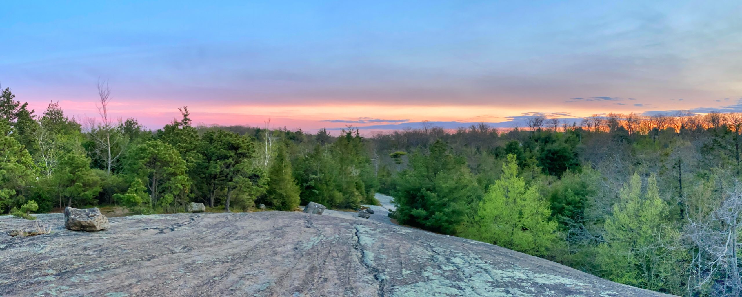
Continue along the R-D trail and you’ll reach a junction with the yellow-blazed Dunning Trail. After another quarter mile, you’ll reach a very large exposed rock area.
A little further along, the trail dips and crosses a small stream on several logs before reaching the junction with the Lichen Trail.
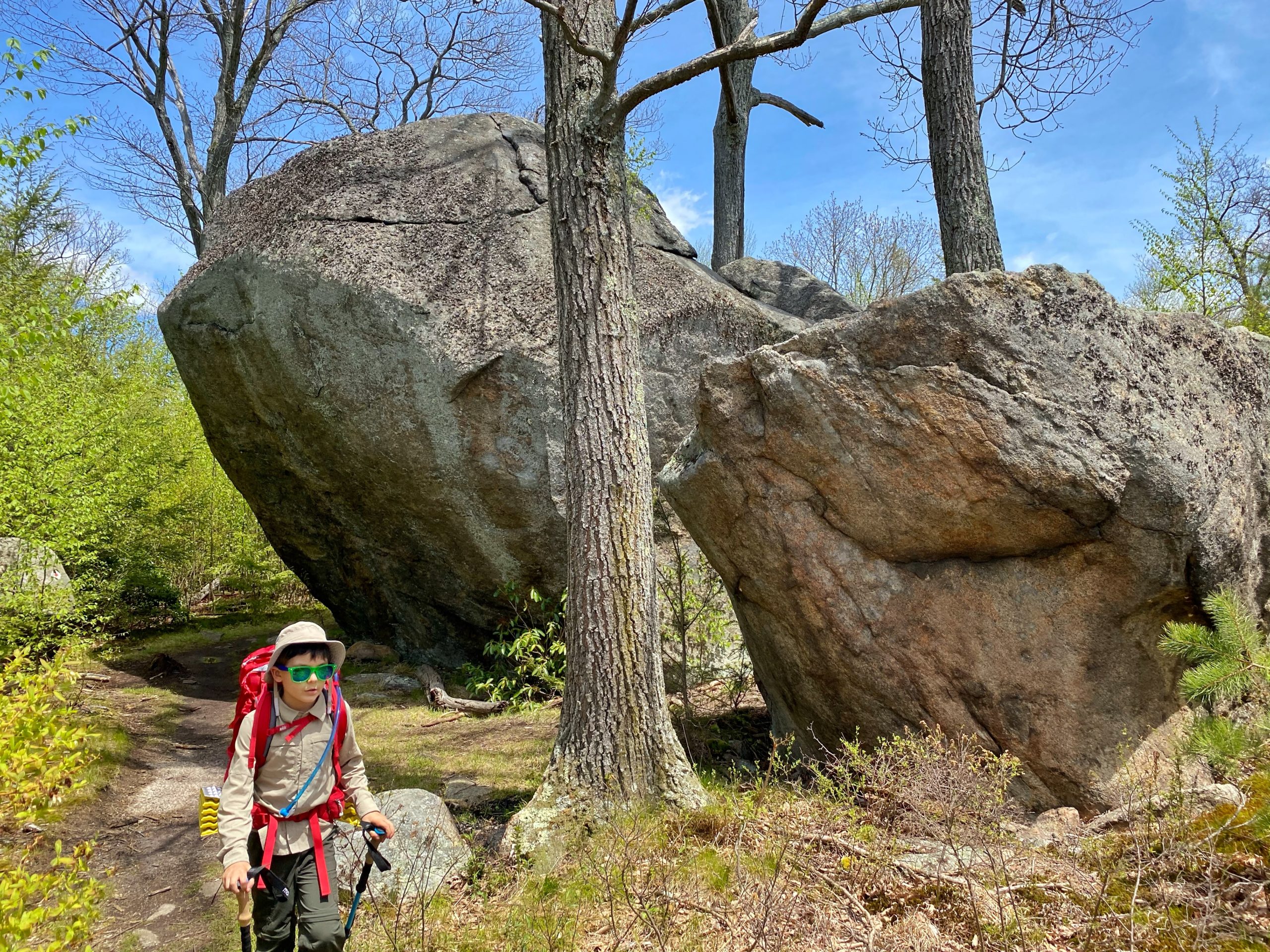
The Lichen Trail begins here and heads north. Stay right (east) to continue on the R-D trail. In a few hundred feet, you’ll pass one of many interesting glacial erratics along the trail, known as Ship Rock (apparently because it looks like a bottom-up bow of a ship).
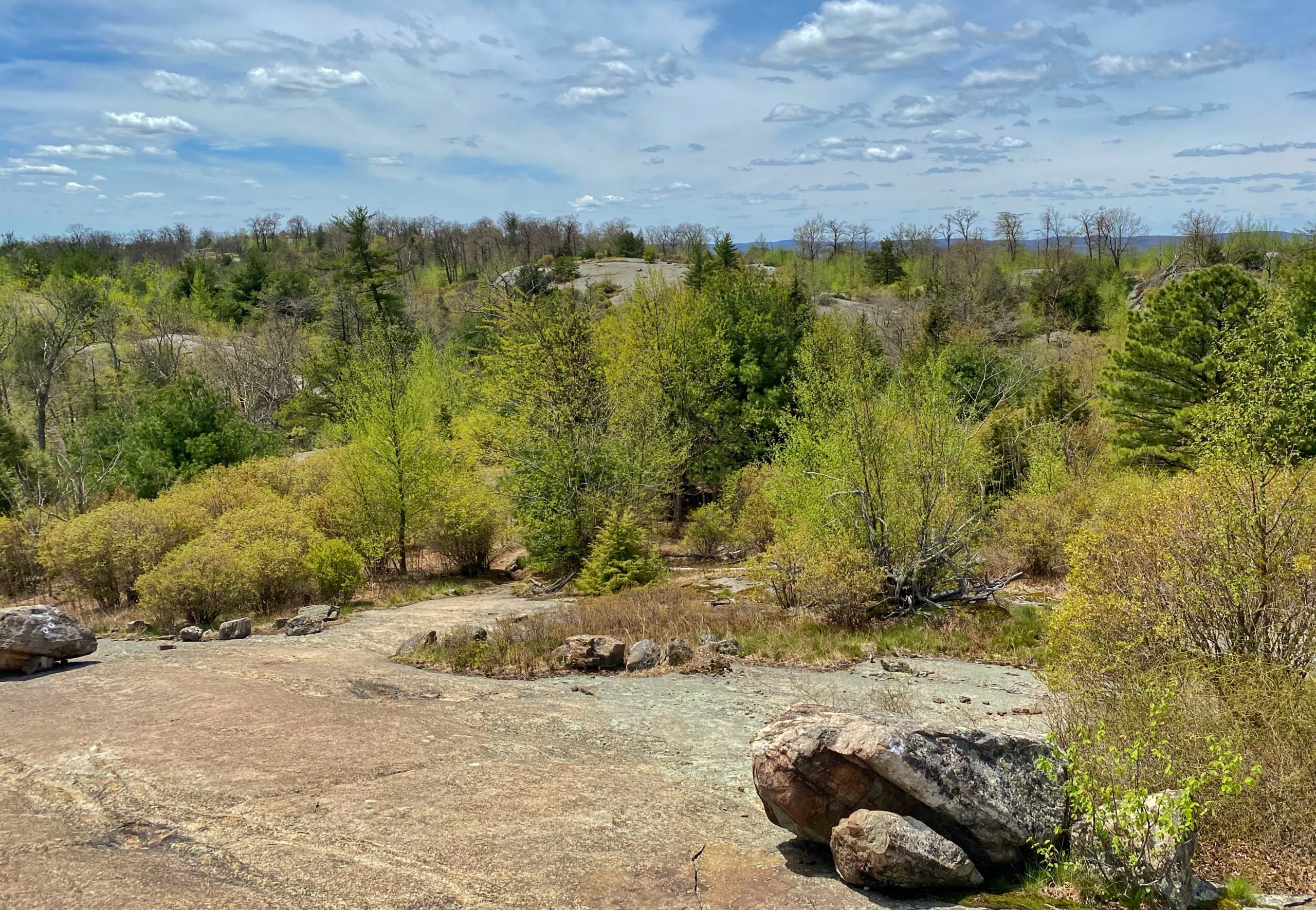
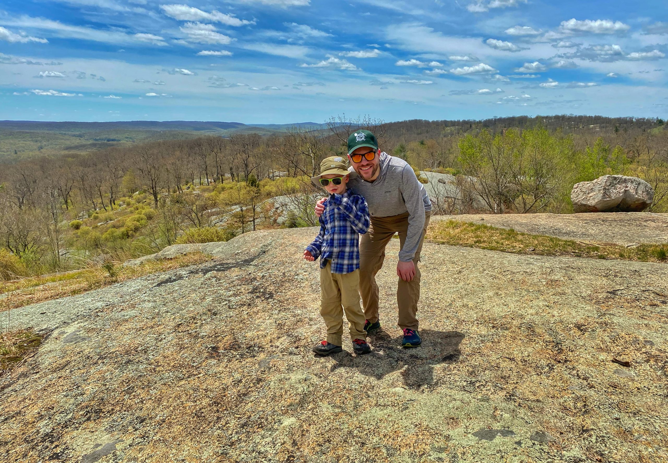
Continue along the R-D Trail across the broad summit of Hogencamp Mountain. About a half mile from the junction with the Lichen Trail, you’ll reach the summit of Hogencamp Mountain (1,353 feet), a rock outcrop and an area ravaged by fire in 1988. From here, you’re rewarded with panoramic views of rolling hills to the south. This is a great spot to take a break and have lunch.


Continuing, the R-D trail drops steely through hemlocks and after about a quarter mile, you’ll reach a large glacial erratic known as “Times Square,” nicknamed for its location at the junction of 3 trails: the Long Path, the Arden-Surebridge Trail (red triangle on white) and the Ramapo-Dunderberg Trail (red dot on white).
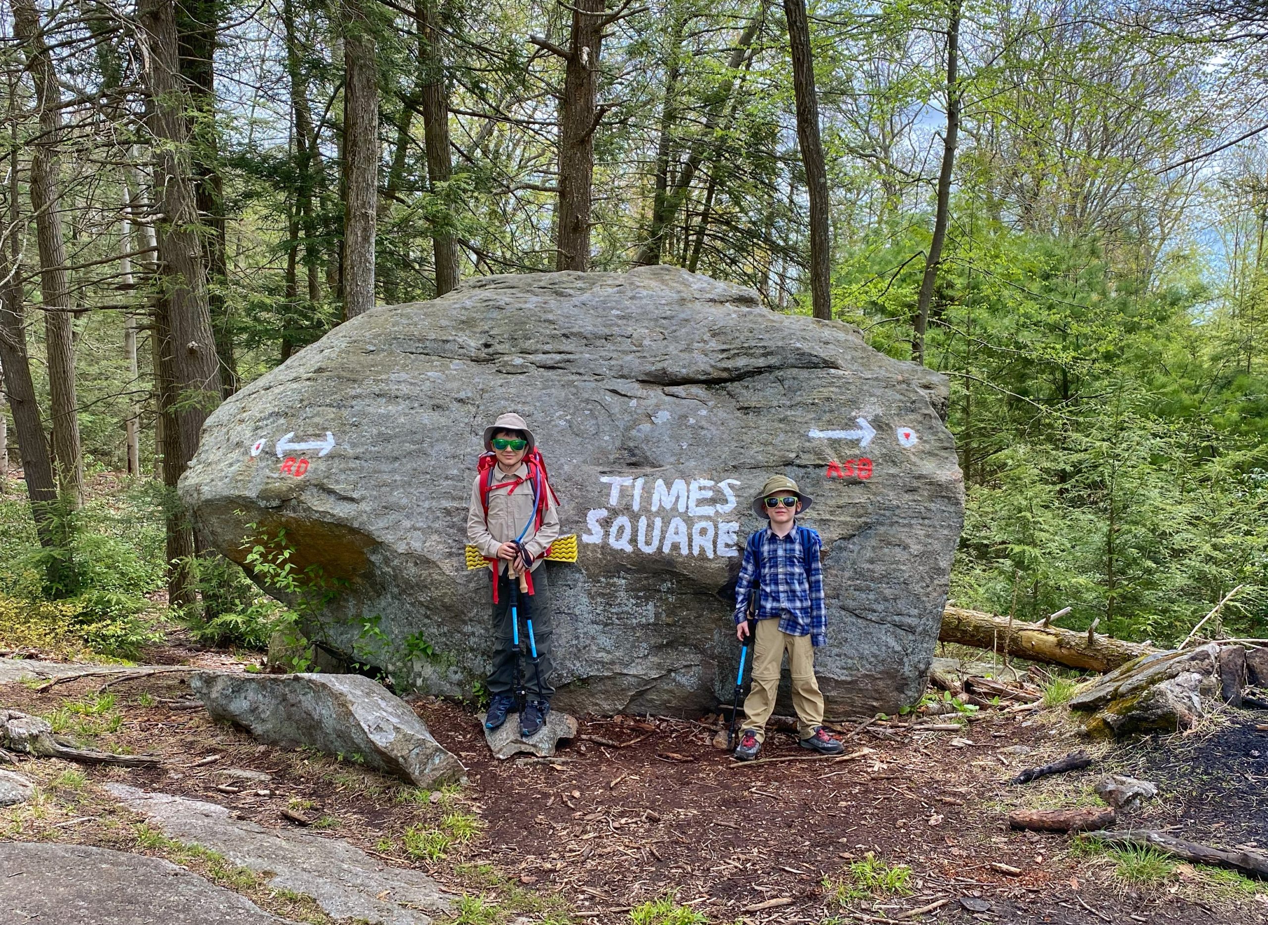
You could turn around here and retrace your steps back or…
Alternative
Create a loop by making a right onto the Long Path (aqua blazes) for 0.8 miles, then right on the Dunning Trail (yellow blazes) for 1.35 miles until you reach the R-D Trail. Turn left and head back to the trailhead or stay at the Bald Rocks Shelter.
