Overview
A relatively easy out-and-back hike that passes remnants of Thomas Edison’s old mining complex to an overlook of the Sparta Mountain wetlands.
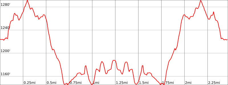
Hike Length: 2.5 miles
Elevation gain: +450 feet
Location: Sparta Mountain Wildlife Management Area, Sparta, NJ
About the Liberty Loop Trail:
About Sparta Mountain Wildlife Management Area (adapted from Audubon NJ): The site is part of a large tract of the Sparta Mountain Greenway that extends along the westernmost ridge of the New Jersey Highlands. It includes New Jersey Department of Environmental Protection’s Sparta Mountain WMA, NJ Audubon Society’s Sparta Mountain Preserve and Passaic River Coalition’s Russia Brook Sanctuary. Sparta Mountain WMA contains a variety of habitat types including upland deciduous forest, scrub-shrub created by beaver and several utility right of ways, Ryker Lake and other smaller bodies of water, and a significant area of wetlands known as Edison Bog. It was here that Thomas Edison mined for iron ore at the turn of the century. He later converted the facility to a limestone processing operation for cement. Remnants of the limestone strip mines can still be found.
Parking
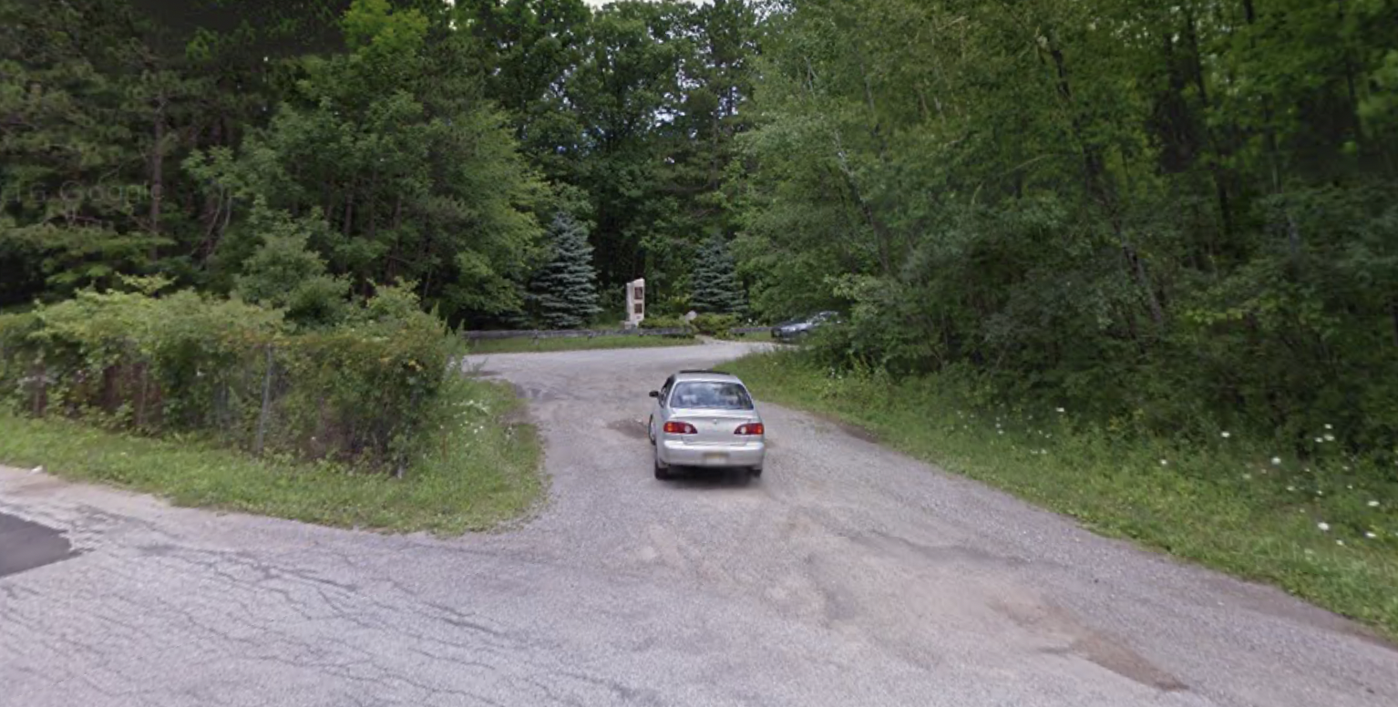
Park in the lot at the Edison Memorial off of Edison Road (Google maps link).
Map
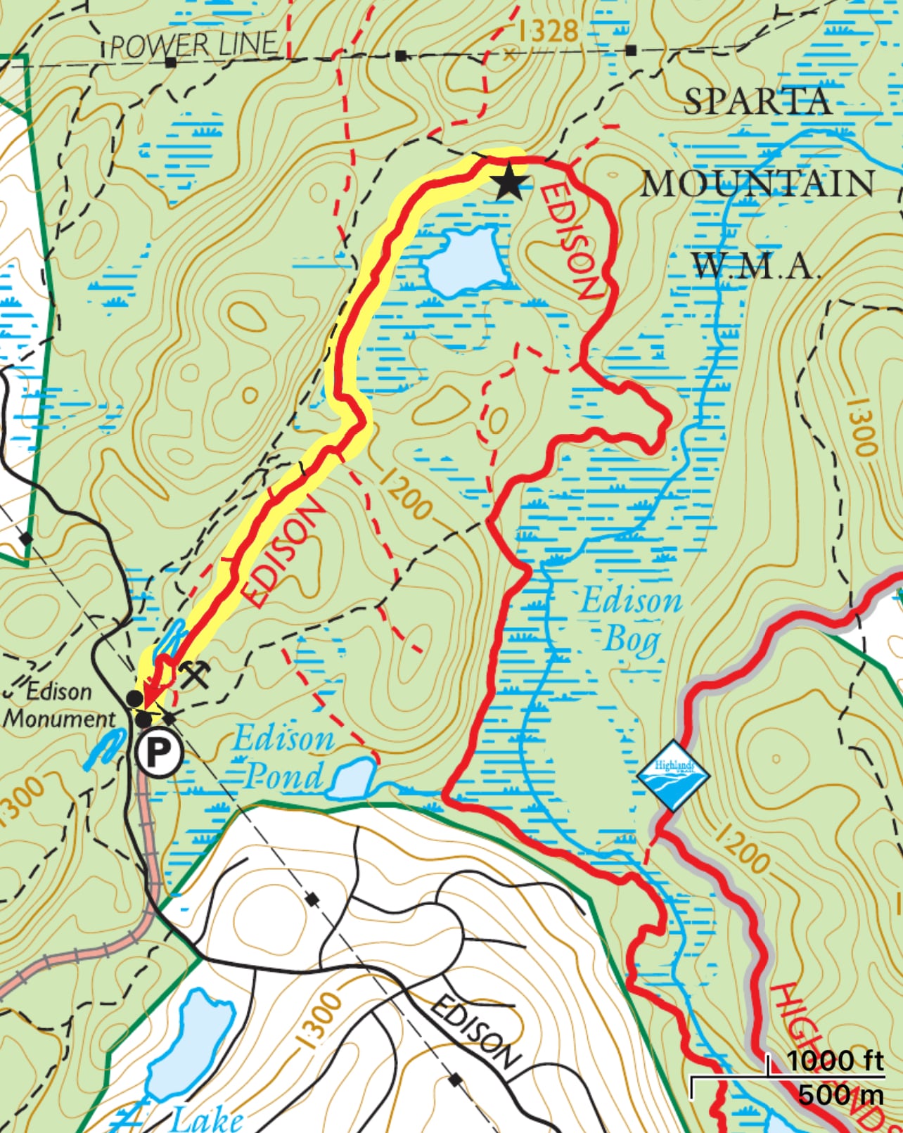
- Jersey Highlands Trails Map, NY-NJ Trail Conference (print)
- Jersey Highlands Trails, NY-NJ Trail Conference (Avenza)
- Sparta Mountain Wildlife Management Area Trail Map, NJ Audobon Society (2006)
Trail Description
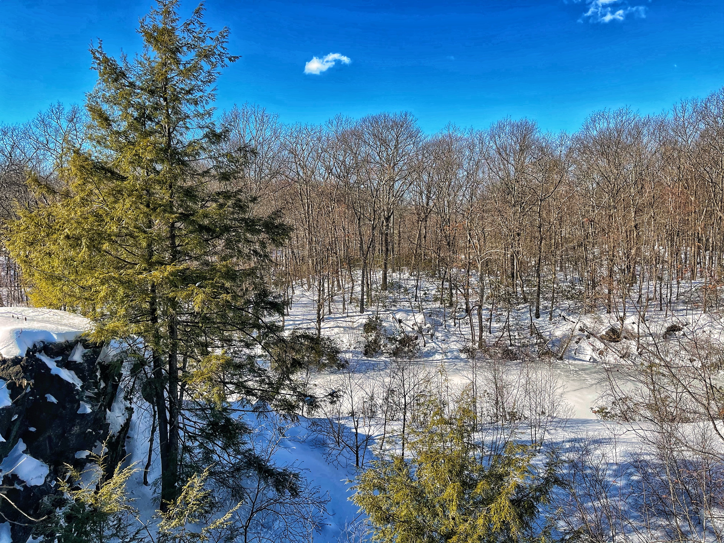
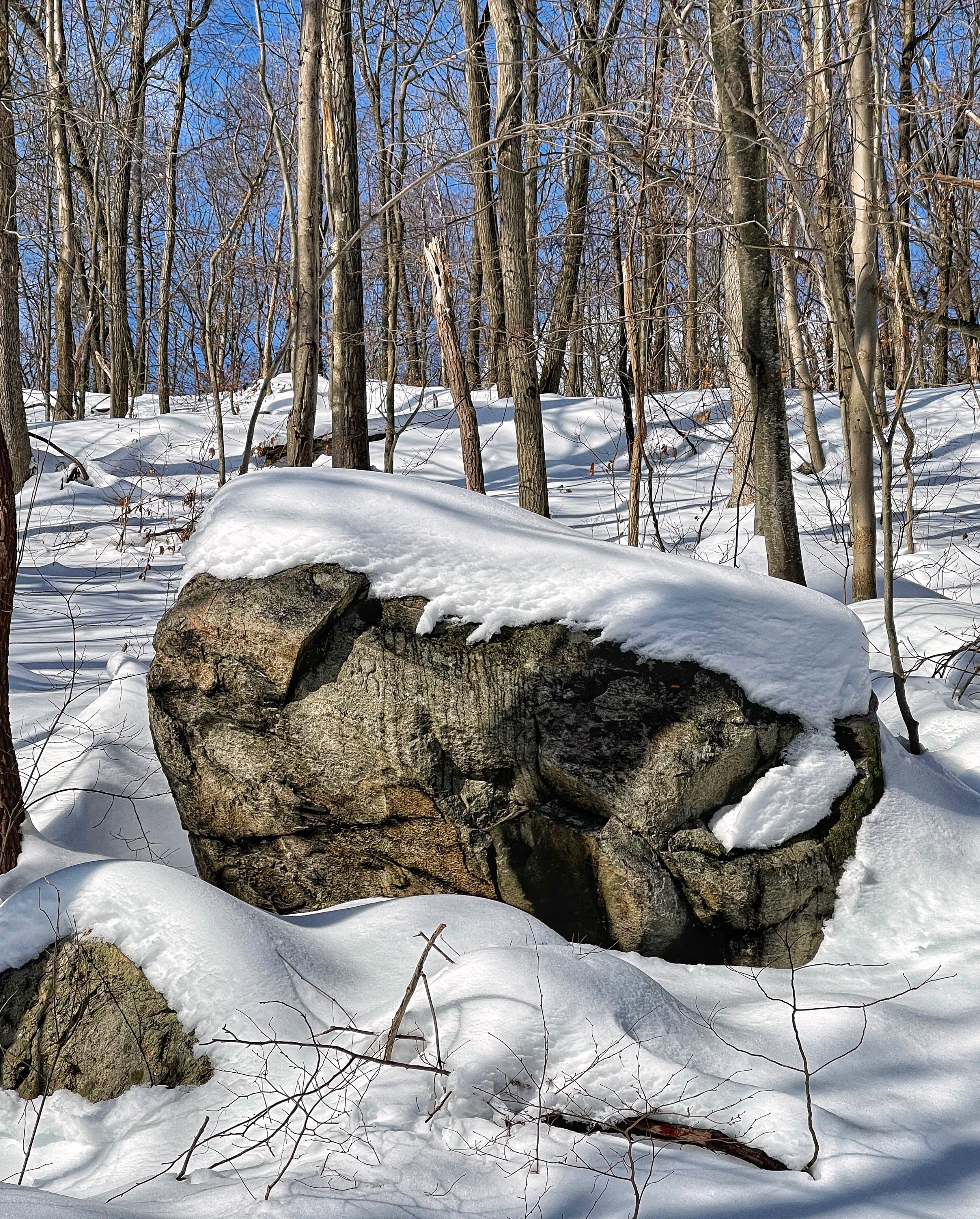
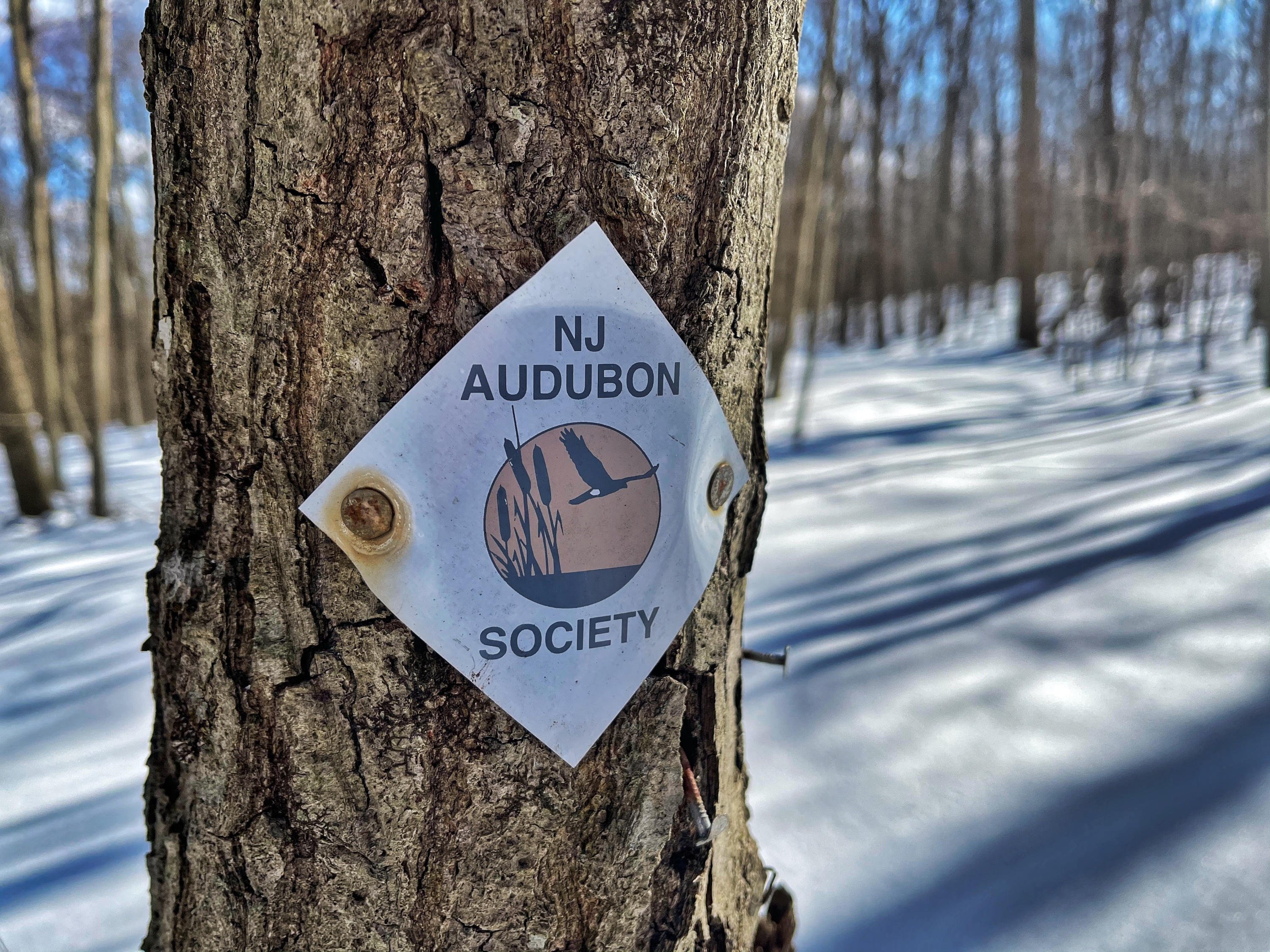
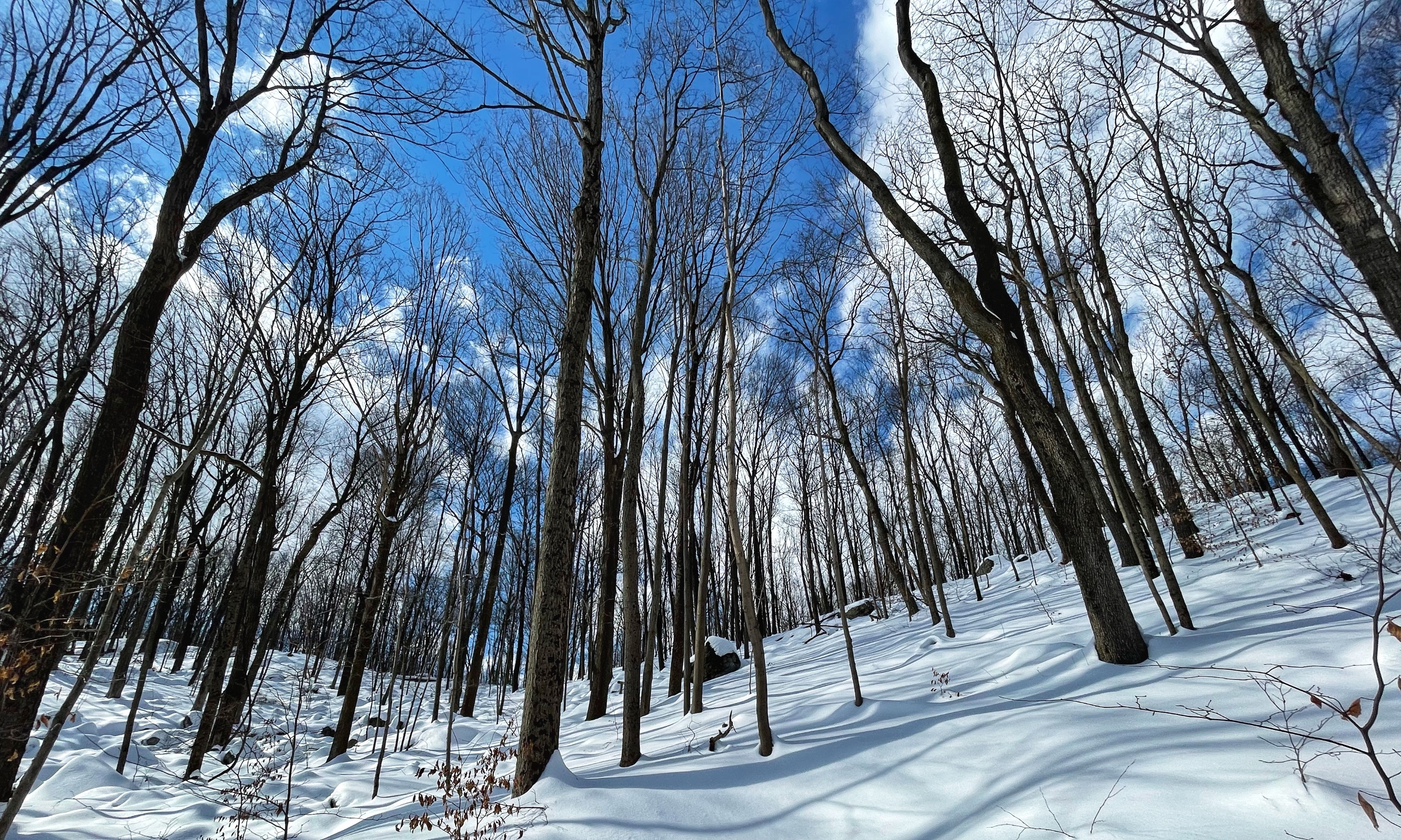
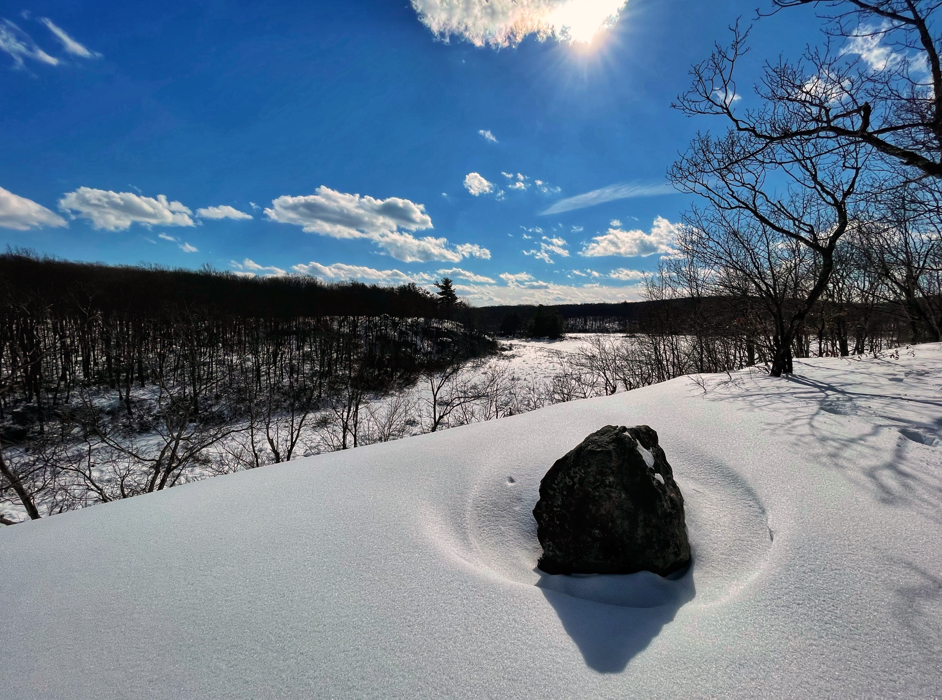
This hike follows the Edison Trail to an overlook. On some maps, the trail appears as the Audubon Trail. Note that most of the trail is not well-blazed, although there are Audubon markers along part of the trail. Make sure you have a map and know how to follow trails. We hiked this trail in the winter under about 2 feet of snow, so the trail will look much different than the photos in warmer weather.
From the parking area, look for the Edison Monument.

Near the turn of the century Thomas Edison owned iron mines here that yielded ore to be crushed and made into briquettes. Edison also built a railroad system to ship the briquettes to Pittsburgh. The processing mill, factory and homes here were among the first in the world to have the benefit of electricity…There are remnants of two large strip mines used for extracting limestone, and some of the smaller mine shafts used by Edison are still open, although unsafe to enter.
Skylands Visitor
The Edison Trail begins here and enters the woods behind the monument. Very shortly you’ll reach a utility line cut and on your right and an abandoned mine pit full of water.

Around this area, canals from the mining operation are still visible all around.
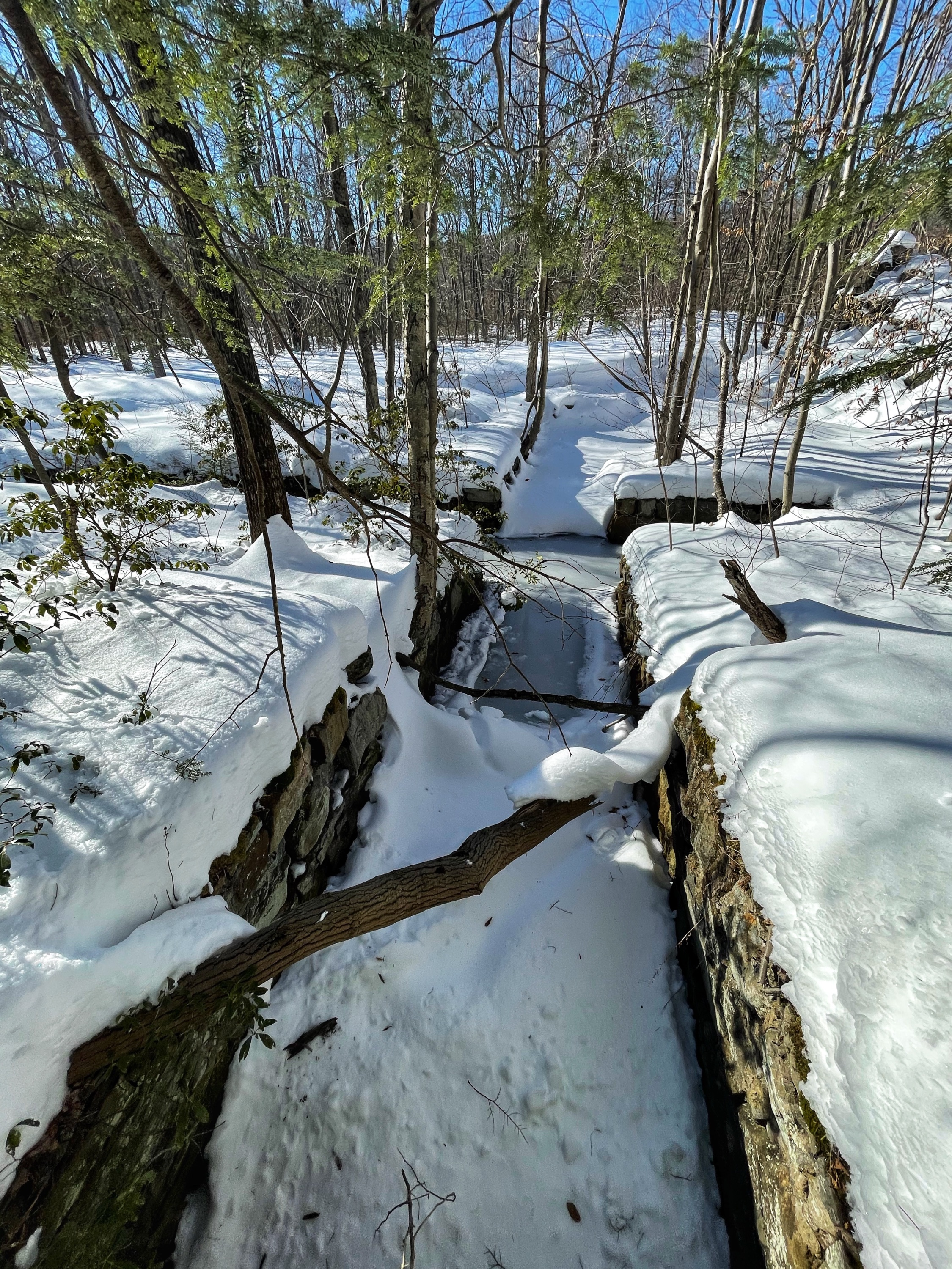
Where the trail forks at a fenced in area, you could go either way and still reach Audubon Overlook, but we’ll head to the right to stay on the Edison Trail. A little distance ahead as the trail climbs, on your left will be a view of a relatively narrow but deep mine area. There is a fence to keep people out of this area, but it seems to be a popular lookout point since the fence has a big hole in it.
The trail continues another 1,000 feet and then rejoins an unmaintained trail that circles the mine from the west.
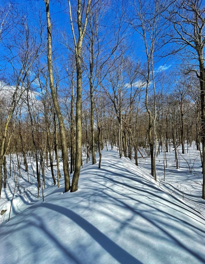
Continue to follow the trail for another 0.3 miles, at which point it will make a sharp right turn and almost immediately reach a junction with the Monument Trail. At the junction, make a sharp left turn to stay on the Edison Trail (if you continue straight you will follow the Monument Trail).
The trail soon reaches the south end of a wetland area and then skirts the west side of this area along the side of a ridge.
After 0.7 miles, you’ll reach an overlook with south-facing views over an open area and wetlands.
From here, turn around and retrace your steps. Alternatively, it’s possible to create a loop by continuing along the Edison Trail and returning via the Monument Trail, a woods road.

