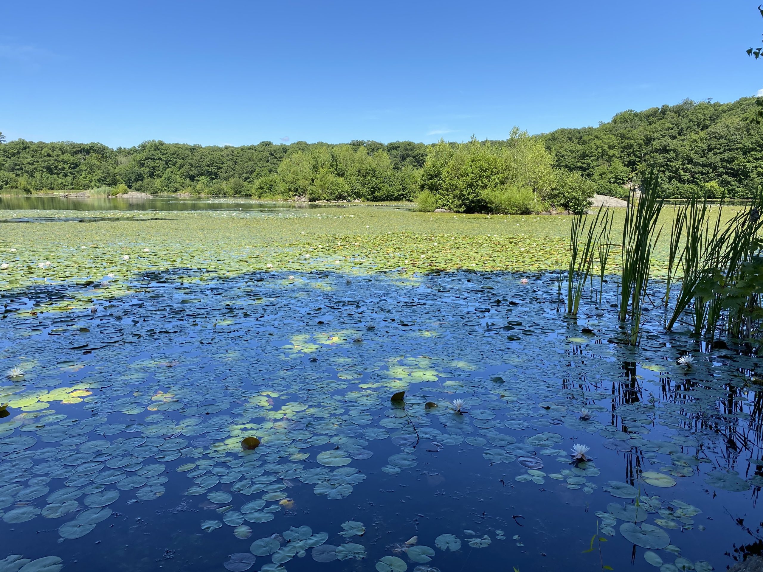
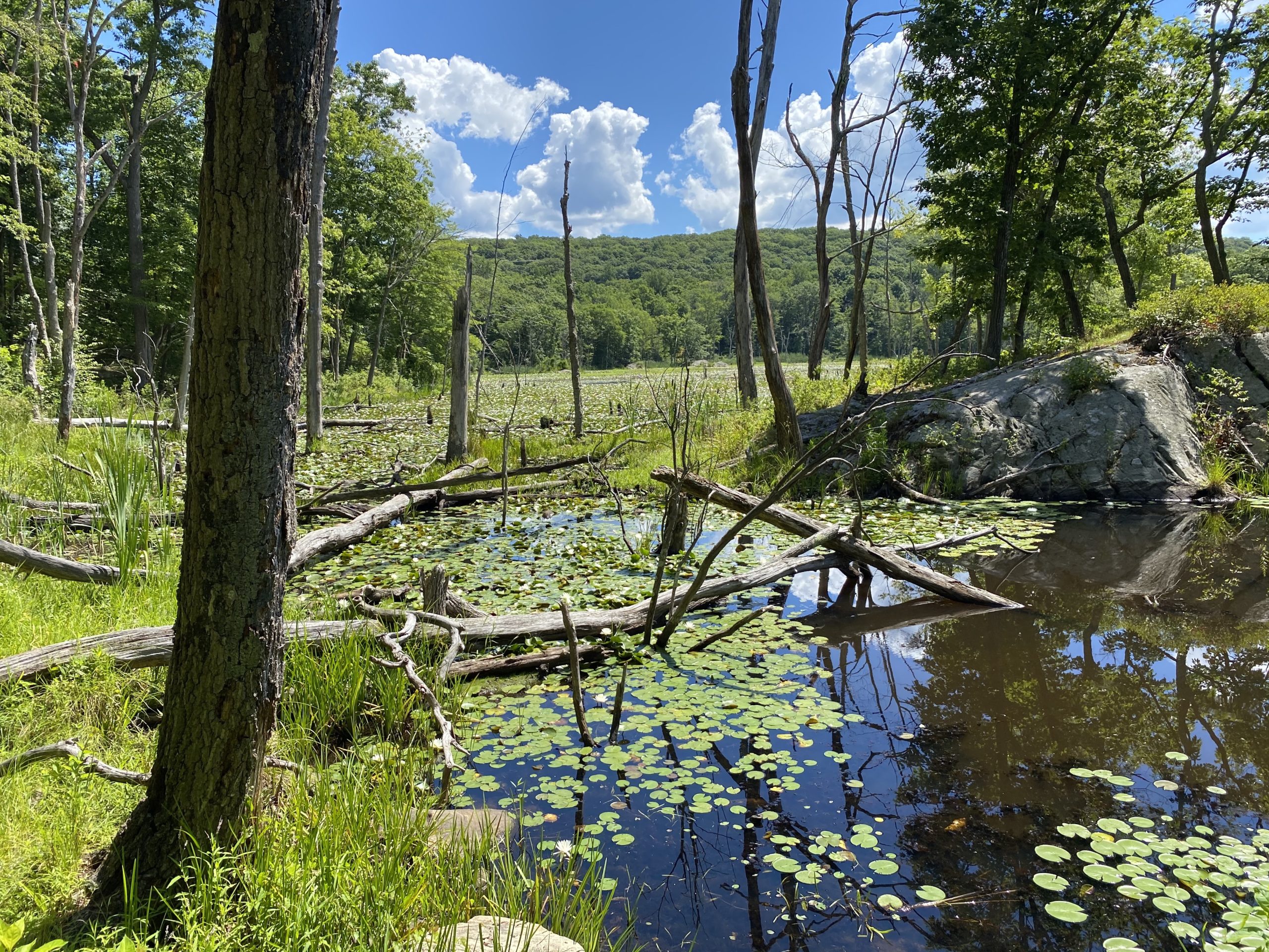
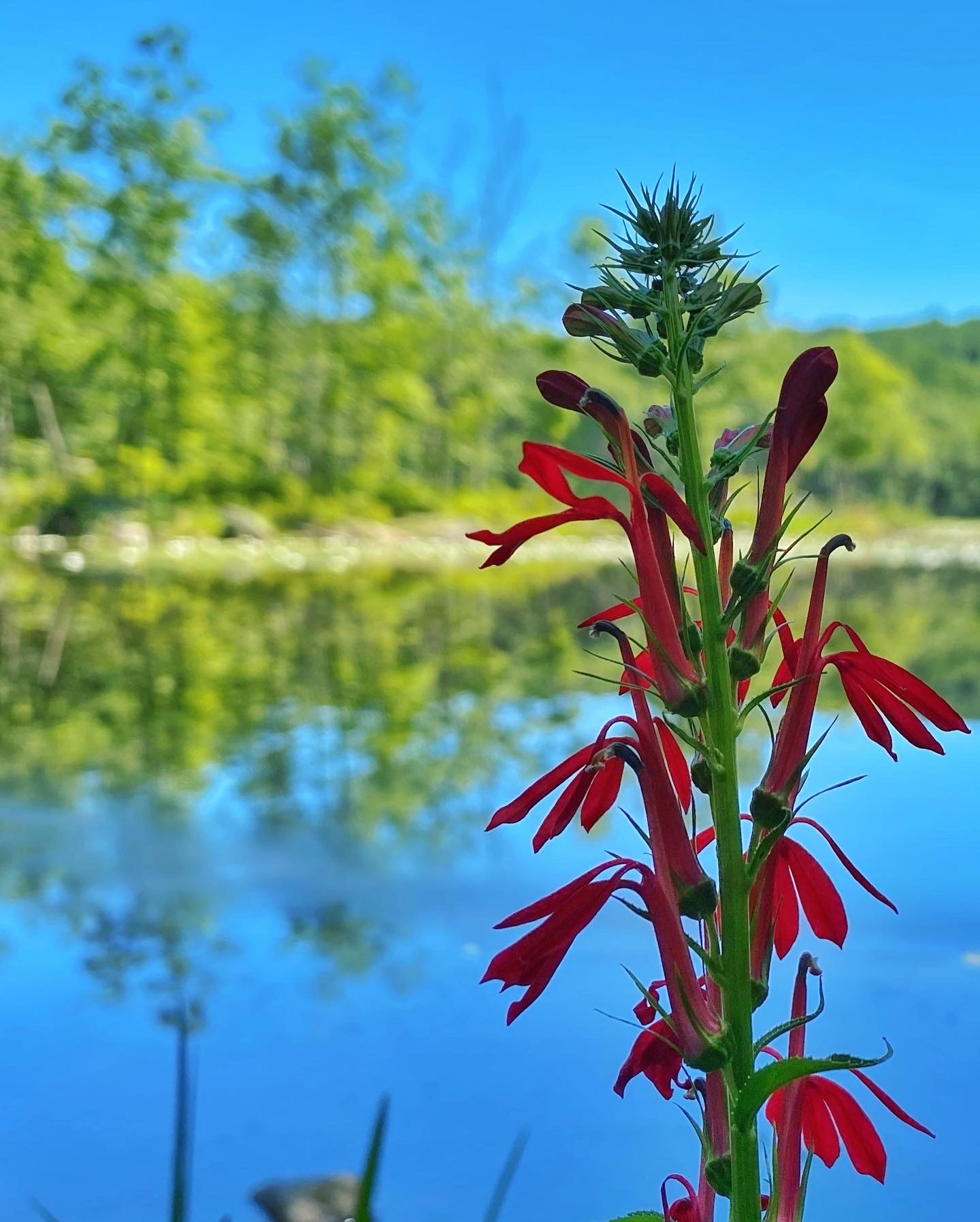
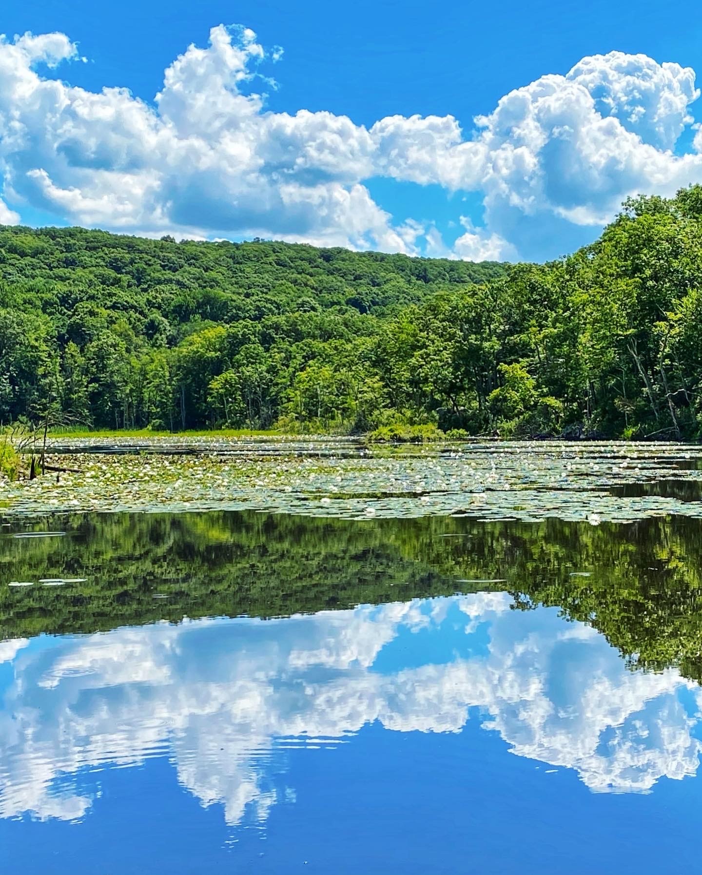
Overview: This 5 mile loop through Apshawa Preserve offers a diversity of habitats and wildlife and beautiful vistas. Easily one of the nicest hikes in New Jersey.
About Apshawa Preserve: This 576-acre naturepreserve offers a diversity of habitats and beautiful vistas in the heart of the Highlands of northern New Jersey. The 40-acre Butler Reservoir is a scenic attraction for hikers and birdwatchers, and the Apshawa Brook flows through the preserve to the Pequannock River. Apshawa’s mixed hardwood forest is dominated by oak and sugar maple. A 3.2-mile deer “exclosure” fence was erected in 2010 to promote healthier, more diverse plant life. The Apshawa Preserve is open year round from dawn to dusk for recreation, and can be accessed from Northwood Drive off of Macopin Road in West Milford. The Preserve is a cooperative project of New Jersey Conservation Foundation and the County of Passaic. 68 Acres of this park is owned by the NJ Conservation Foundation, a non-profit that works to preserve and expand the trail network at this park.
History
Passaic County has owned 501 acres of the preserve after purchasing the land from the Borough of Butler with Green Acres funding in 1971. Public access to the property was limited until NJCF purchased the adjacent Faustini property in 2002 bringing the total acreage to 576. The property was previously going to be developed and would have fragmented a crucial highlands forest and degraded water quality in nearby High Crest Lake.
NJ Urban Forest
Hike Length: 4.7 miles
Elevation Gain: +1,000′
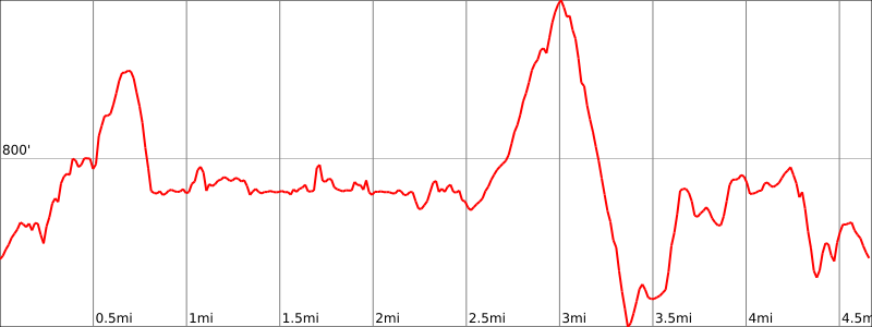
Location: Apshawa Preserve, West Milford, Passaic County, New Jersey
Parking: An unpaved parking lot is located at 4 Northwood Drive, West Milford.
Maps:
Note that these maps are from 2014 and do not show some unmarked trails. As of 2020, the yellow trail is largely overgrown and appears to be closed due to beaver activity.
- Apshawa Preserve Trail Map (New Jersey Conservation Foundation).
- Apshawa Preserve Trail Map (Passaic County)
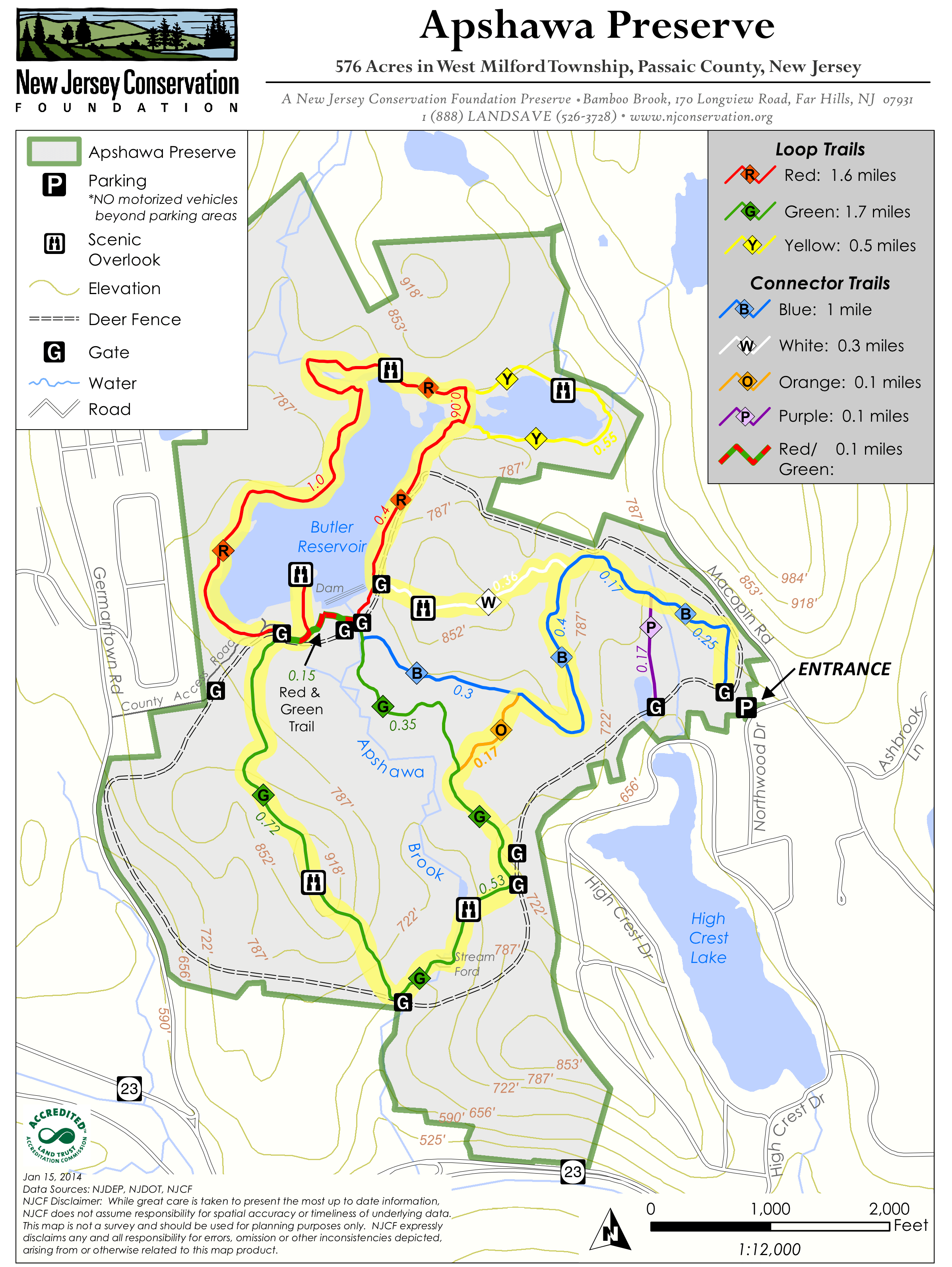
Trail preview video
Trail Description
Take the blue trail, then make a right onto the white trail. Near the summit alongon the white trail, there is a viewpoint.
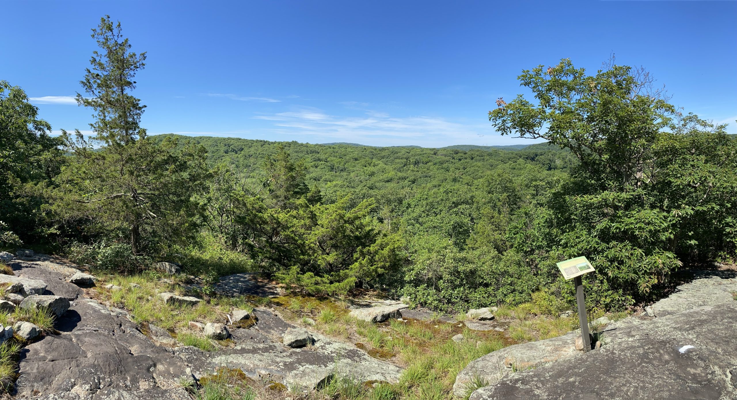
Continue on the white trail and you’ll soon reach a gate for the deer fence. Open the gate, then make a right on the red trail and begin to loop around the Butler Reservoir. You’ll pass several viewpoints along the way.
You’ll soon reach the junction with the yellow trail, which loops around the eastern part of the reservoir. In 2020, the trail was mostly overgrown and it was difficult to get too far before having to turn around.
Continue along the red trail. At the junction with the green trail, briefly continue straight along the red/green trail, then turn left to follow the red trail to a peninsula on the Butler Reservoir.

Once you reach the end, turn around, retrace your steps, and then turn right onto the red/green trail, then turn left onto the green trail.
The green trail is well-graded. When you reach the summit of the green trail, a large rock pile indicates the location of a partial vantage point. Near here, look for a use trail that leads about 100-150 feet southwest off the trail and to an exposed area with a much better viewpoint.
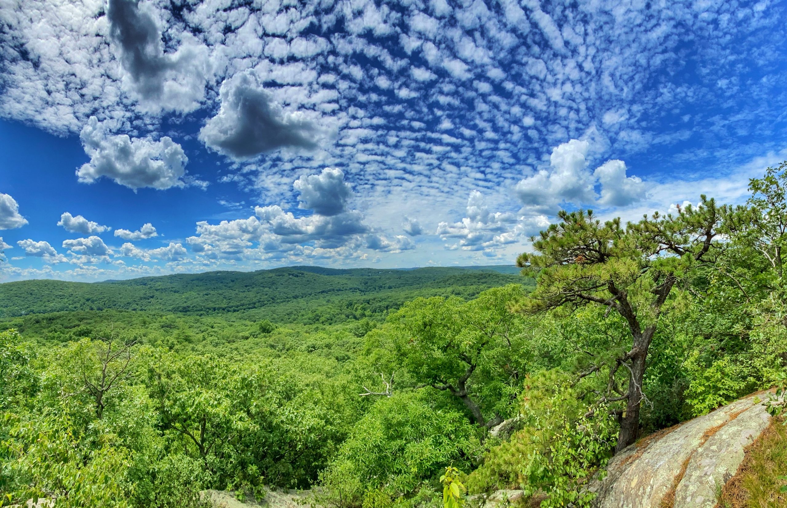
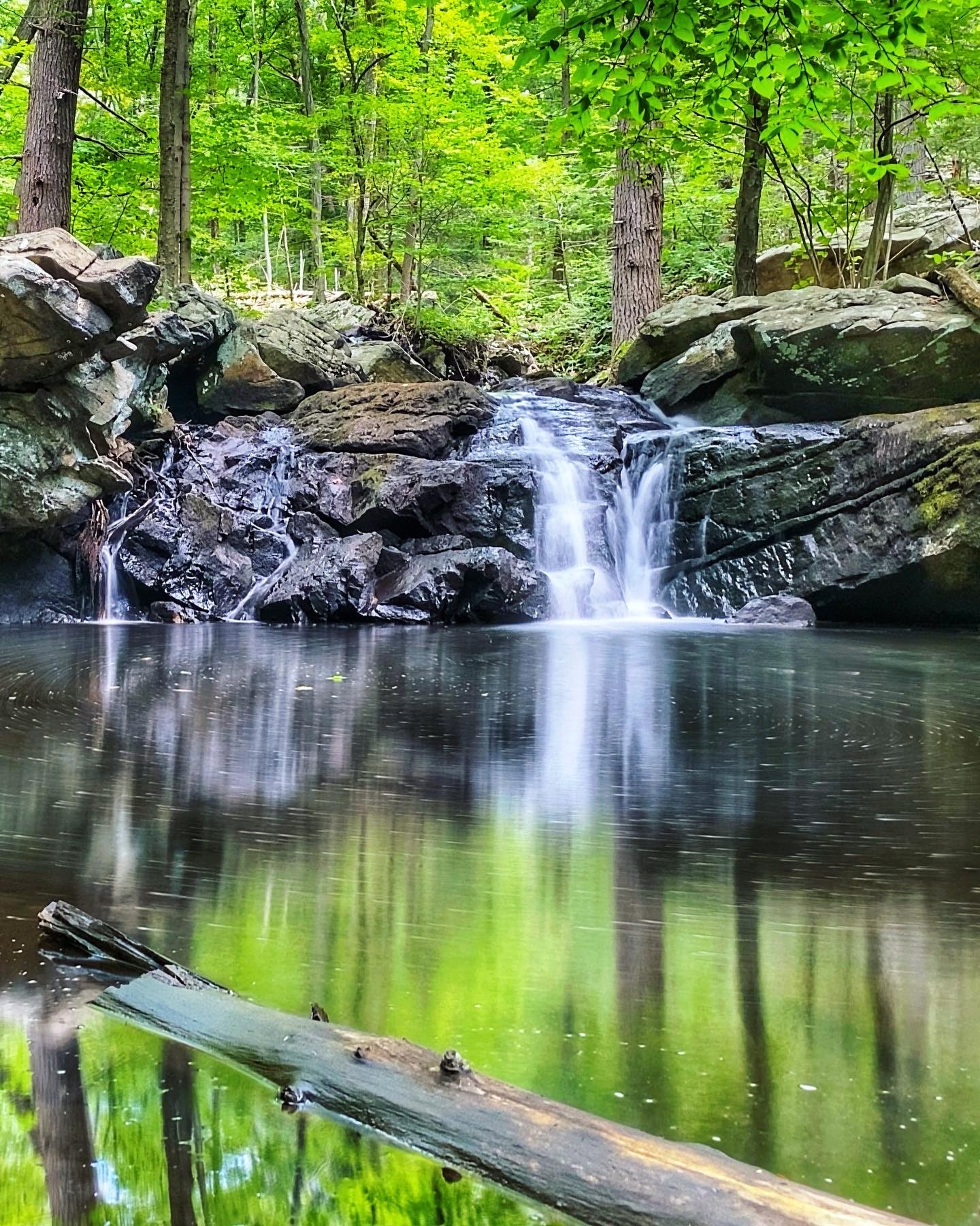
Continue along the green trail. Soon you’ll reach a waterfall.
After another half mile, turn right on the orange trail. After 0.2 miles, turn right on the blue trail. You could take the blue trail all the way back to the trailhead (or, for a slightly shorter hike, if your map shows the trails, make a right onto the unmarked trail to the purple trail, make a left onto the purple trail, then a quick right onto the unmarked trail to the blue trail).

