Overview
The most rugged trail in Westchester County is also a great way to reach Anthony’s Nose. Even without the dramatic Anthony’s Nose viewpoint at the end, the Camp Smith Trail itself is a beautiful trail with multiple views that is worth the hike.
Hike Length: 5.9 miles (can be shortened significantly by parking at the alternate parking area on Rt 202/6)
Elevation gain: +2,250 feet

Location: Hudson Highlands State Park Preserve, Cortlandt, NY
Parking
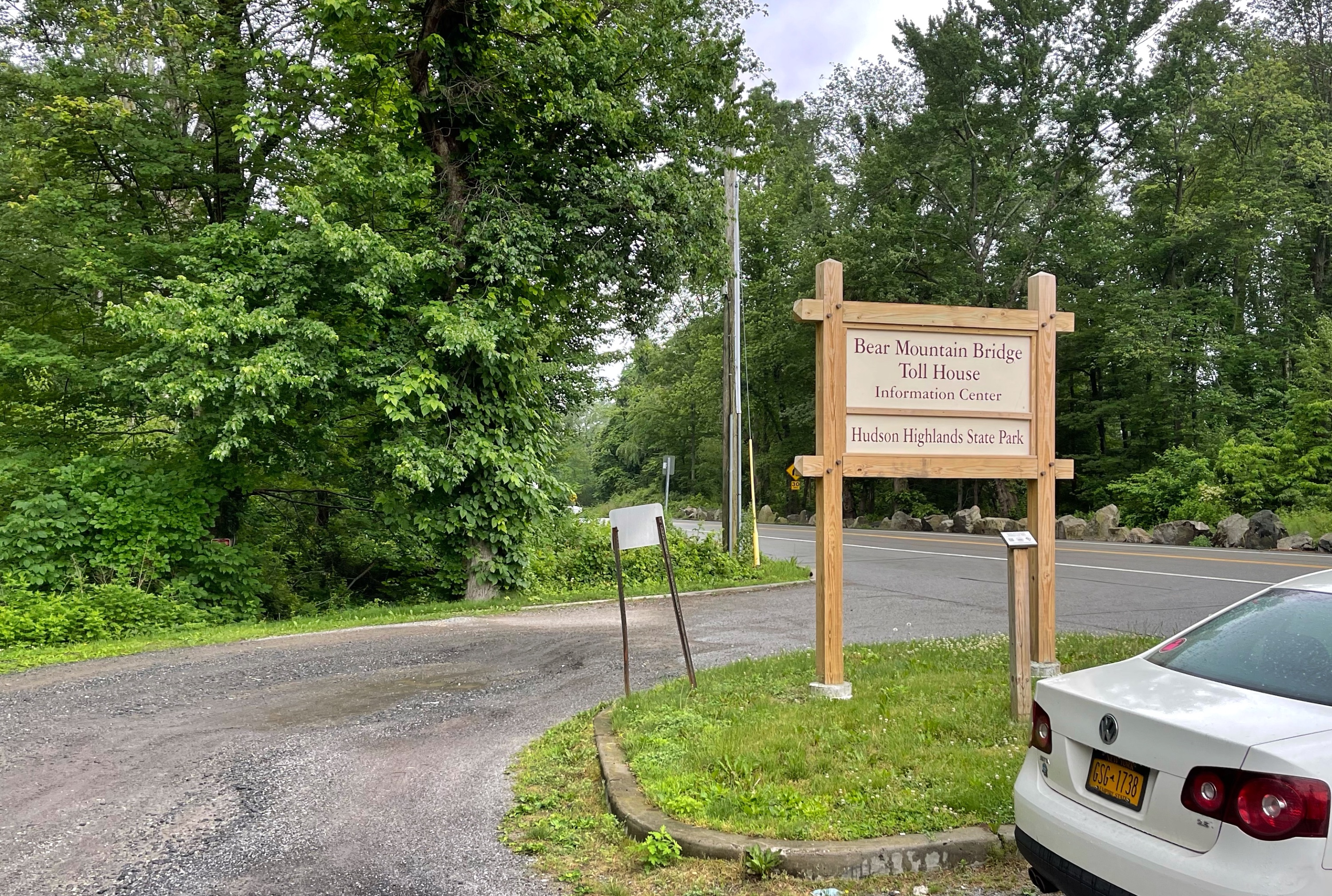
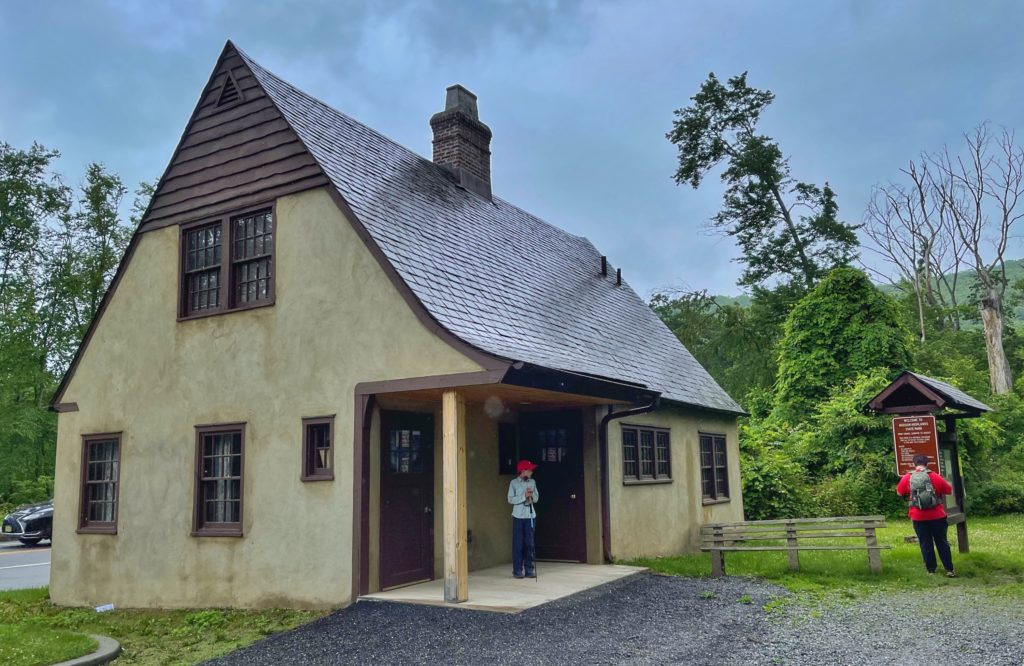
Park at the parking lot at the historic Bear Mountain Bridge Toll House, which now serves as a welcome/information center. A nearby GPS address is 28 Bear Mountain Bridge Road, Cortlandt, NY.
Note: the hike can be shortened by parking at a different parking area along Rt 202/6 which the trail crosses.
Maps
- East Hudson Trails combined (Avenza)
- East Hudson Trails Map #101 – NY-NJ Trail Conference (print)
- Hudson Highlands State Park Preserve map (south) – NY Parks (pdf)
- Hudson Highlands State Park Preserve map (south) – NY Parks (Avenza)
Trail Description
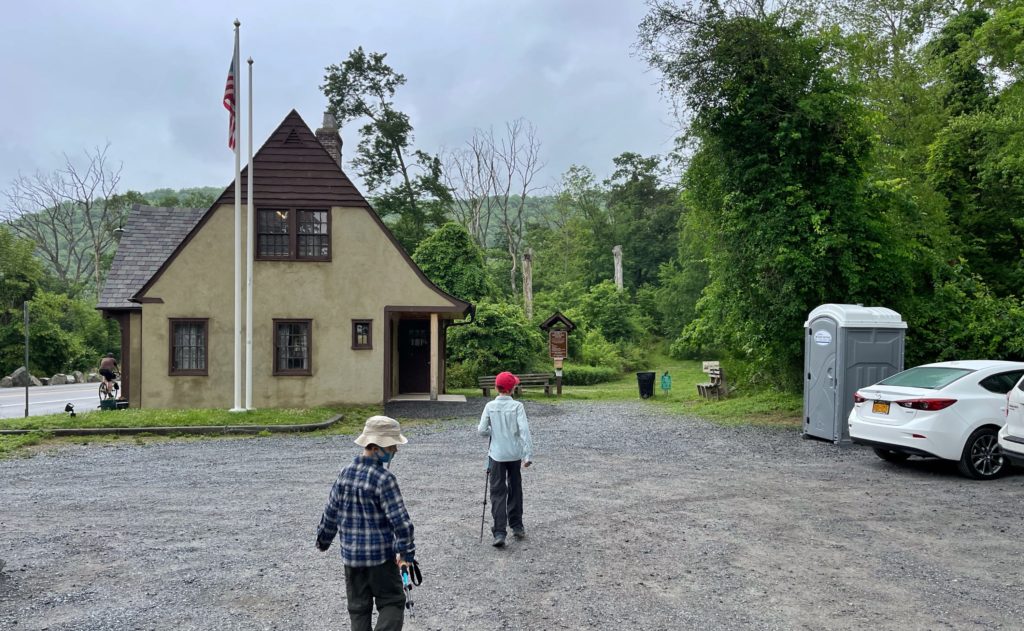
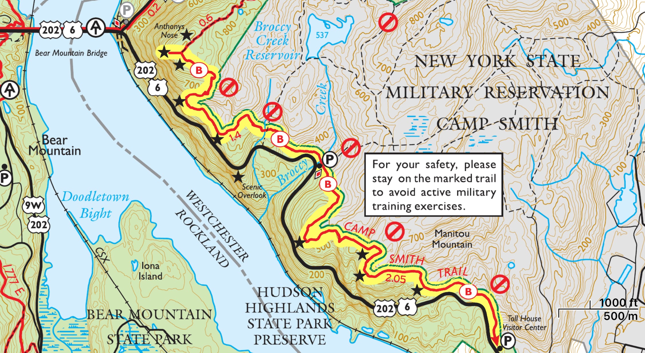
The toll house serves as the trailhead for the nearly 3 mile long Camp Smith Trail. From the parking lot, head north towards the toll house visitor center. When we visited, there were portable toilets here. Look for the blue blazes and enter the woods.
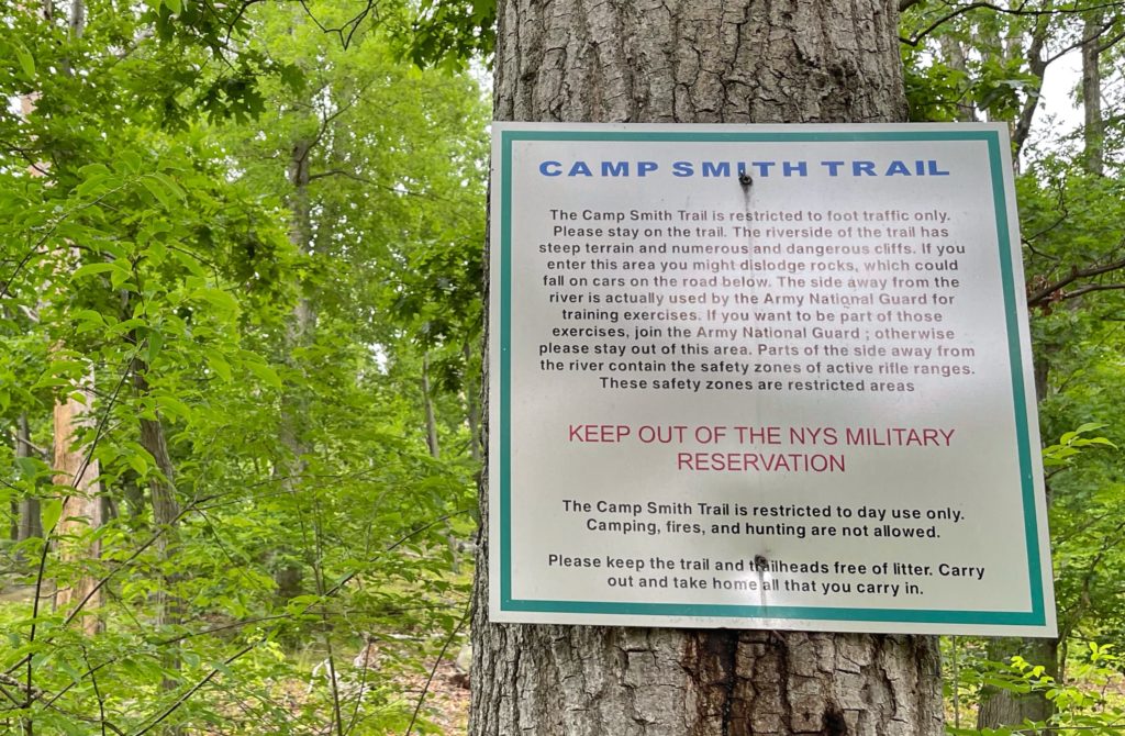
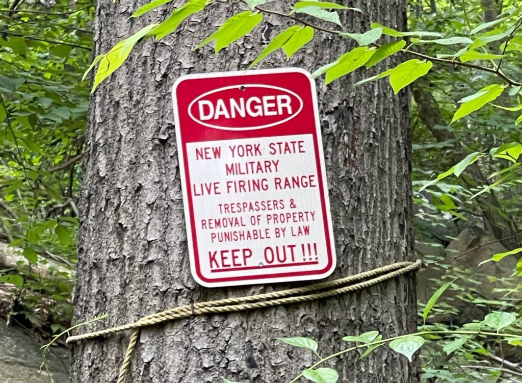
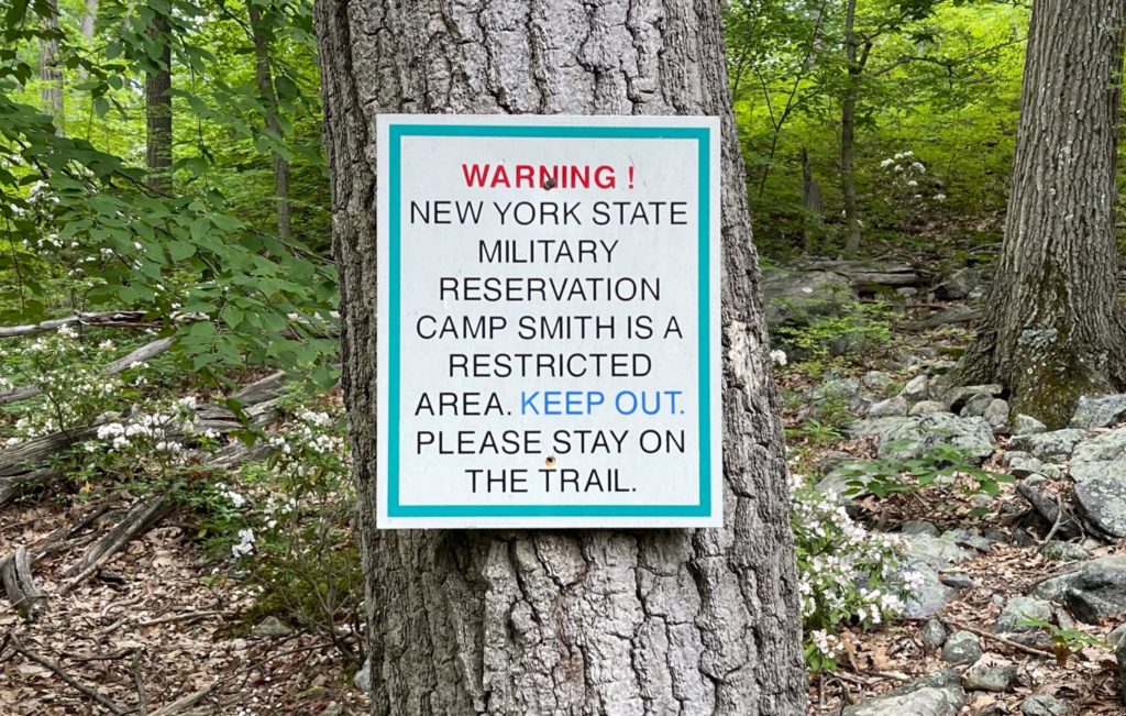
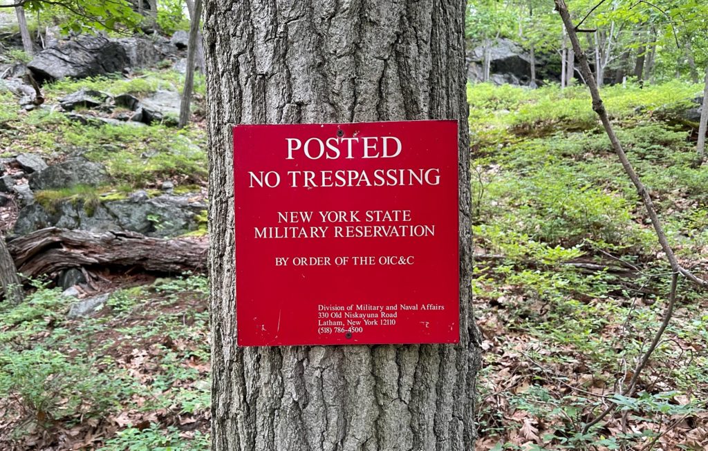
You’re immediately greeted by the first of many signs along the way warning you not to step off trail because you are on the boundary with Camp Smith – an active military installation of the New York National Guard with firing ranges.
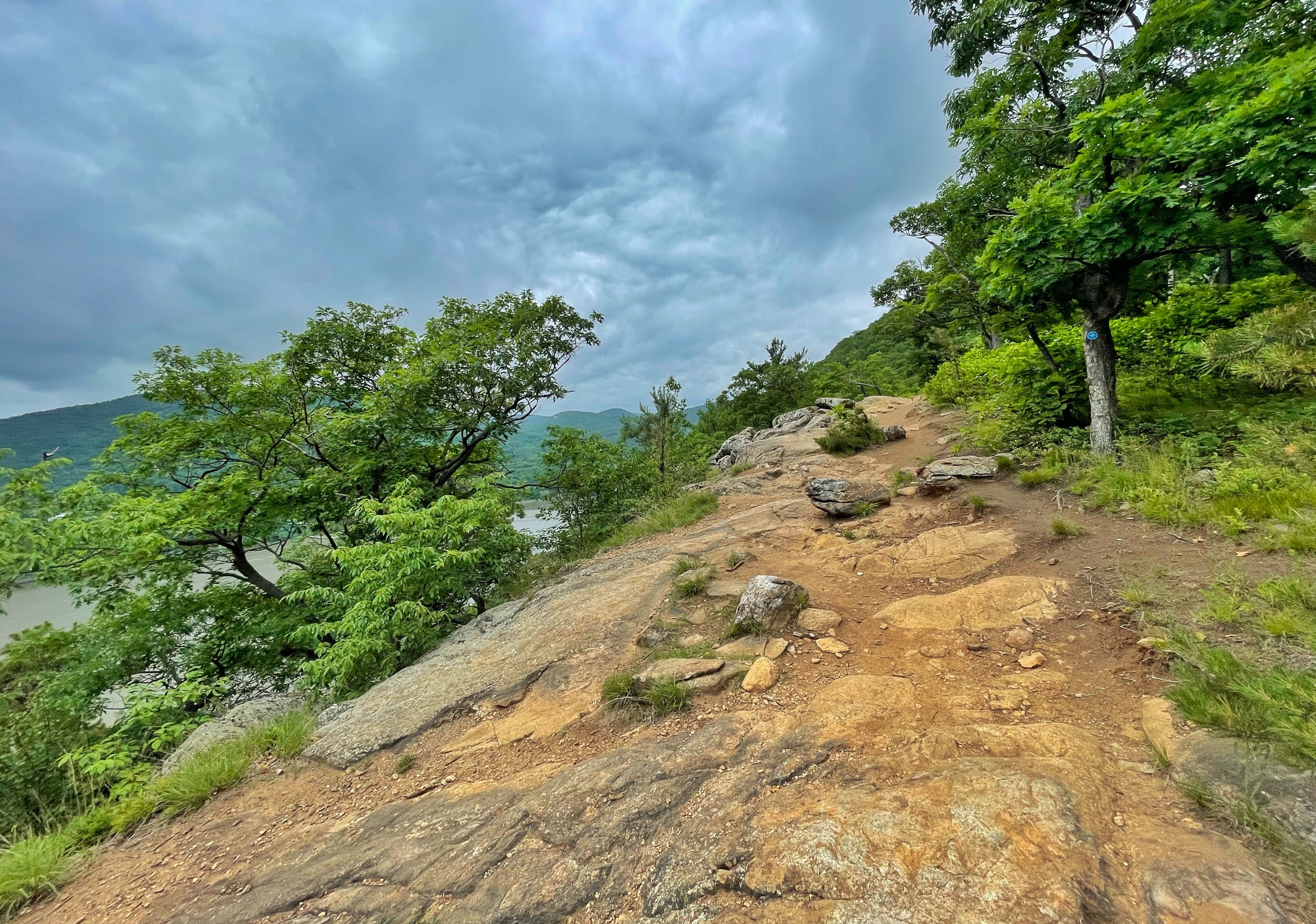
This is a rocky, rugged trail.

About a half mile in you’ll reach your first of several viewpoints of the Hudson River. They tend to get better and better as you continue.
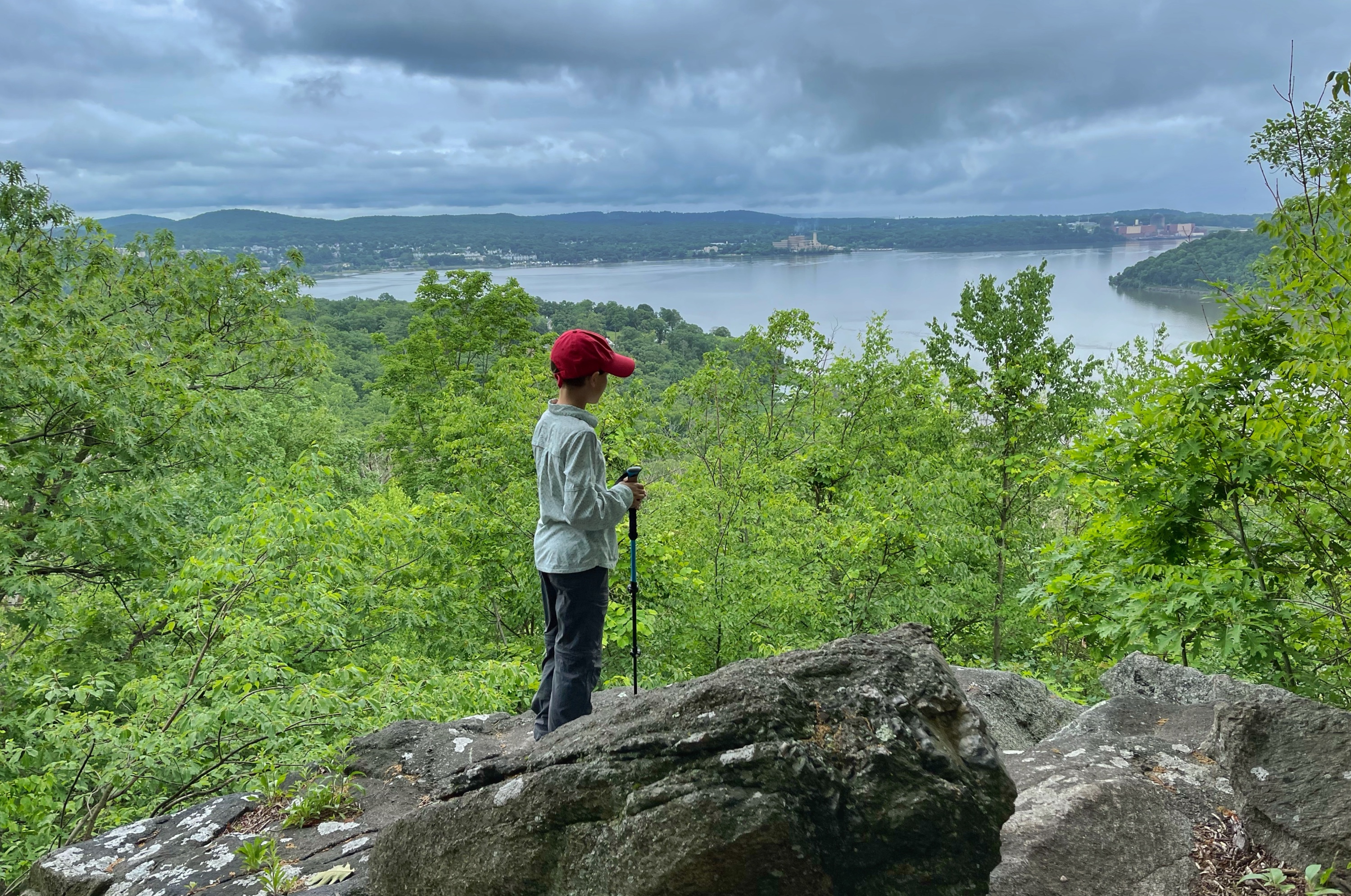
The Camp Smith Trail continues to mostly climb.

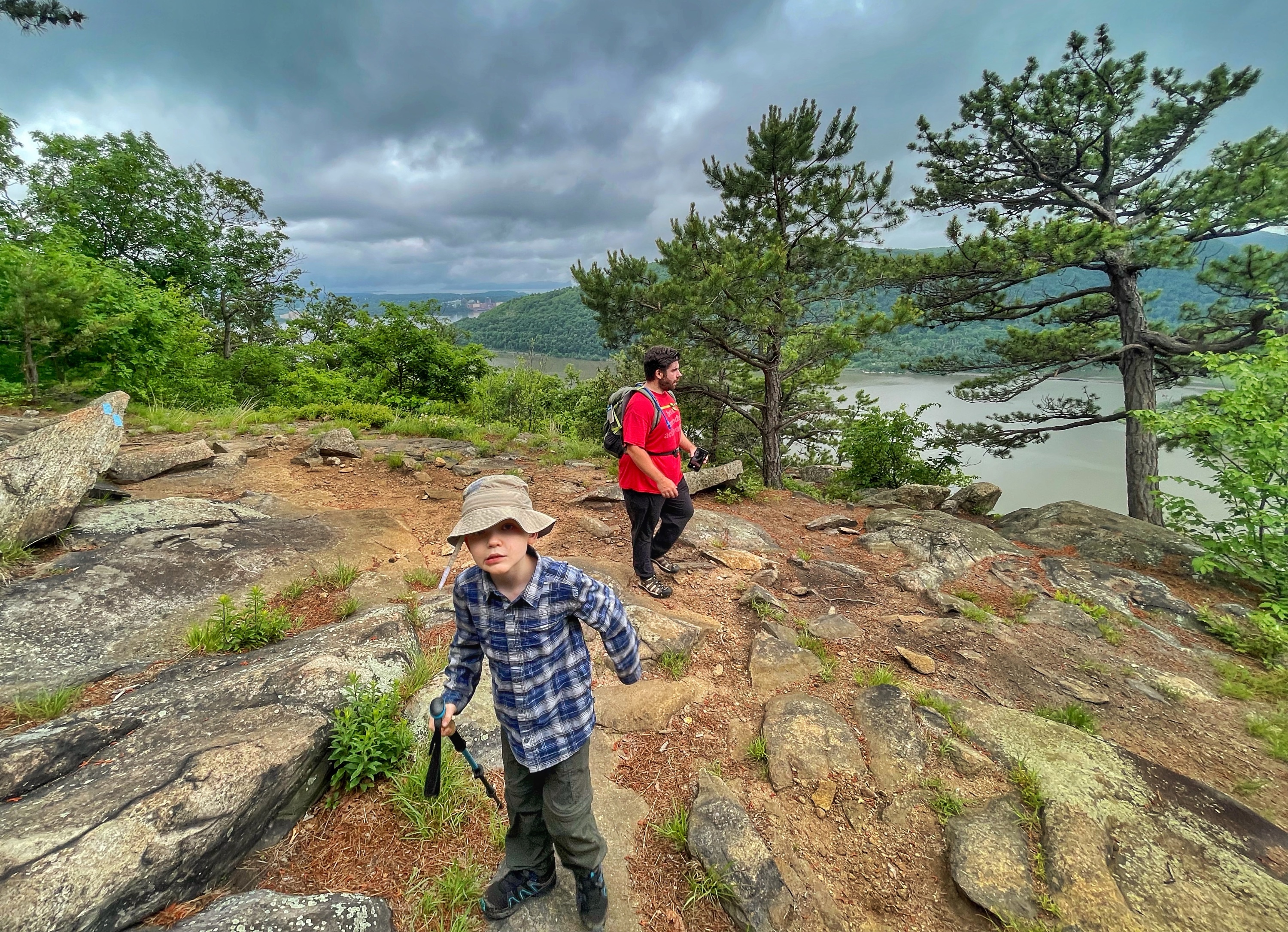
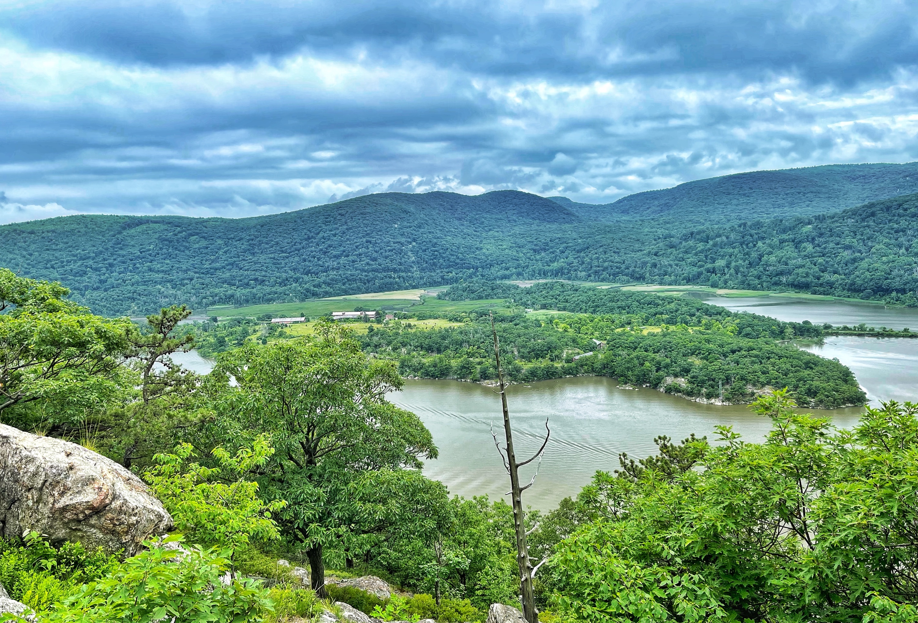
About a mile in, you reach a clearing punctuated by two large pines and some really beautiful views of the river.
From here, the trail generally descends for a little over a half mile. Just before reaching a parking area you’ll pass a rock on your right with blazes on it that make it appear to be smiling.

A short distance later the trail reaches a parking area on the side of Rt 202/Rt 6.
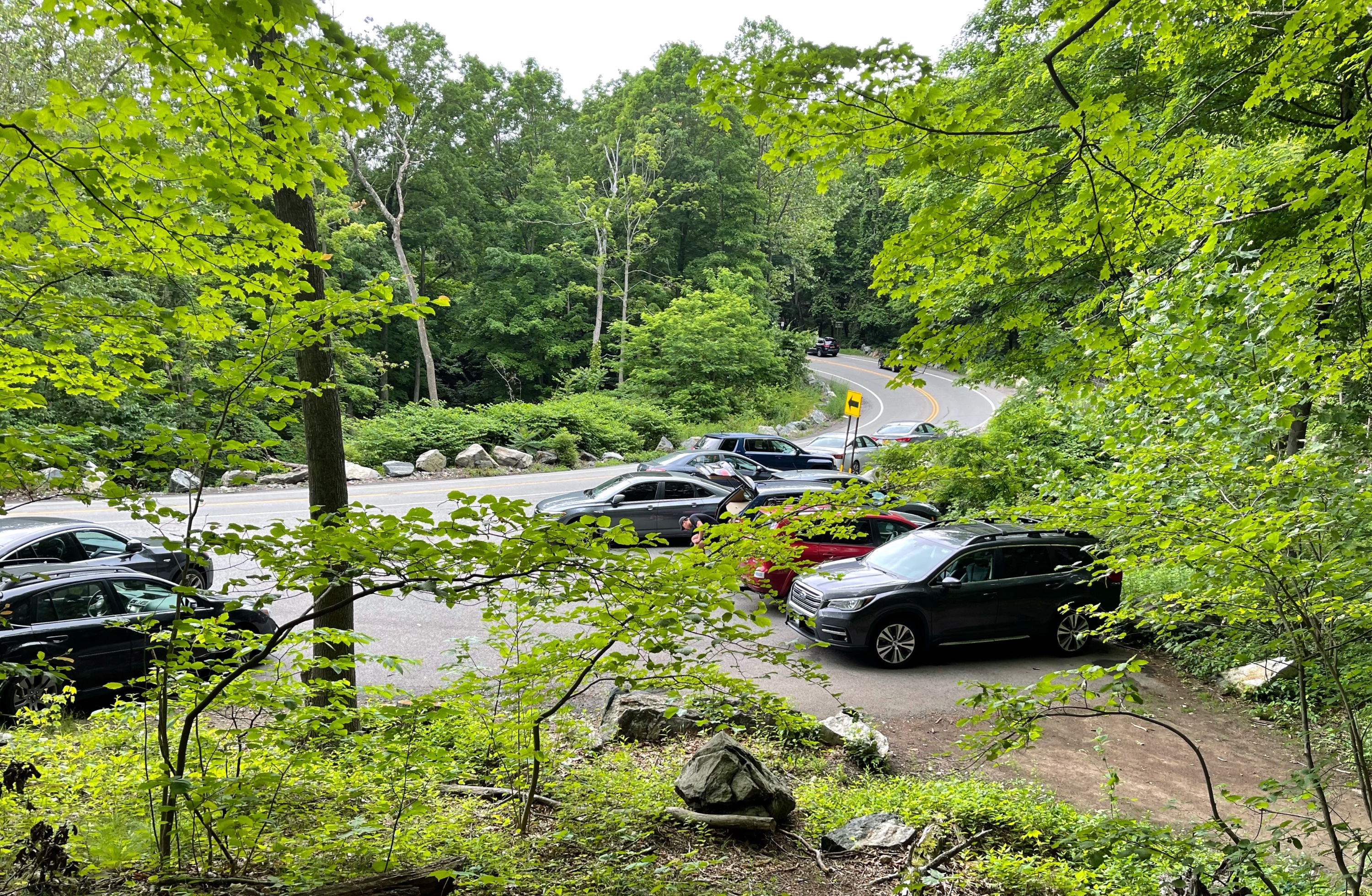
In case you’re wondering “Couldn’t I just have parked here and saved 3+ miles of round-trip walking?” the answer is “yes.” This is a small lot, so it probably fills earlier. Also, in my opinion the trail along the first part of the hike is more rugged and interesting, but this is certainly an option for those looking for a shorter hike.
From here, the rest of the hike to Anthony’s Nose is mostly uphill, with one significant dip along the way. Continue to follow the Camp Smith Trail towards the north. You’ll immediately cross Broccy Creek on some stones.
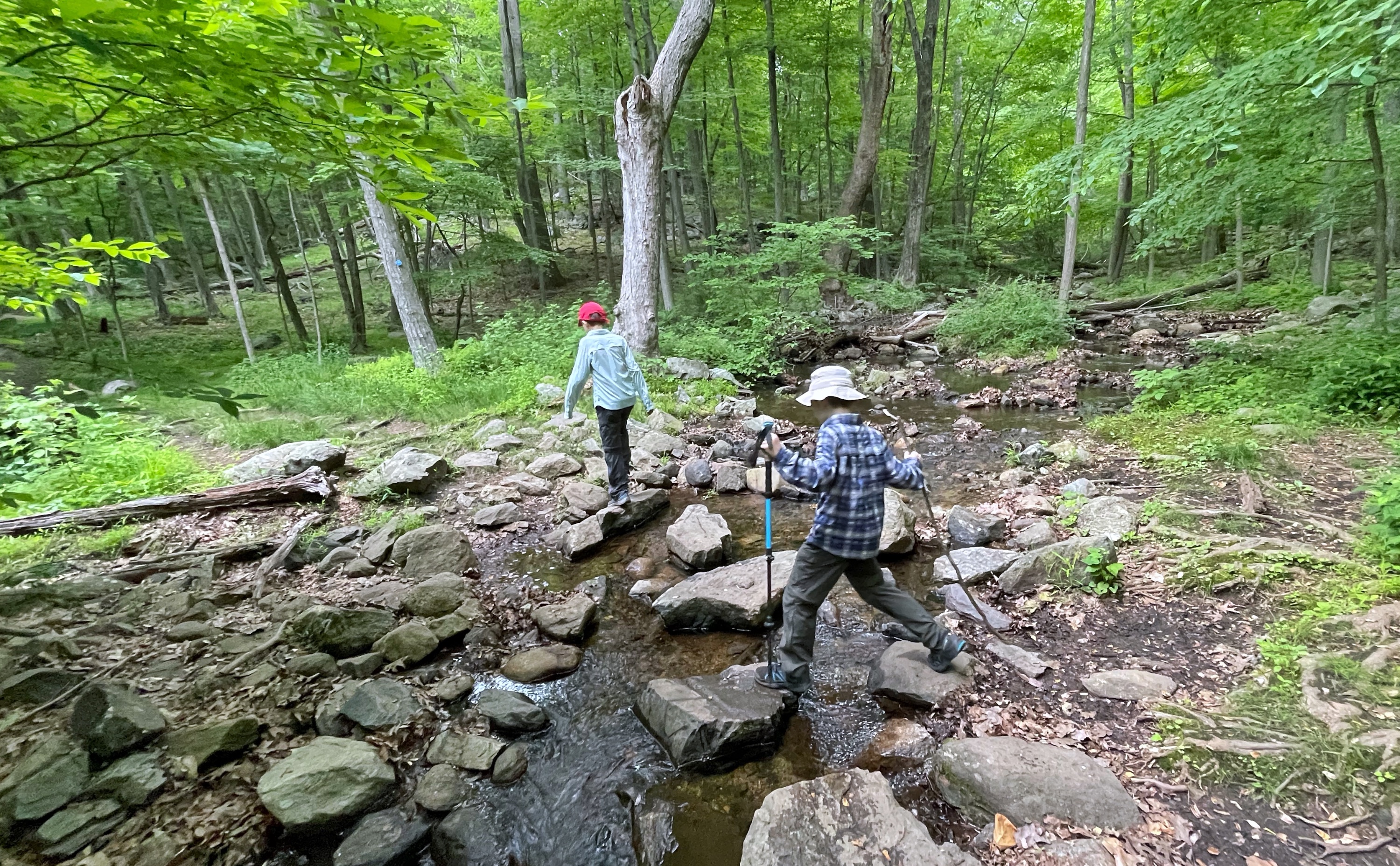
On the way up, we noticed a large boulder that appeared much darker than all of the surrounding stone – a glacial erratic perhaps?

You’ll soon reach another clearing along a ridge with panoramic views of the Hudson River and Iona Island. You can catch a glimpse of the Bear Mountain Bridge from here, too.
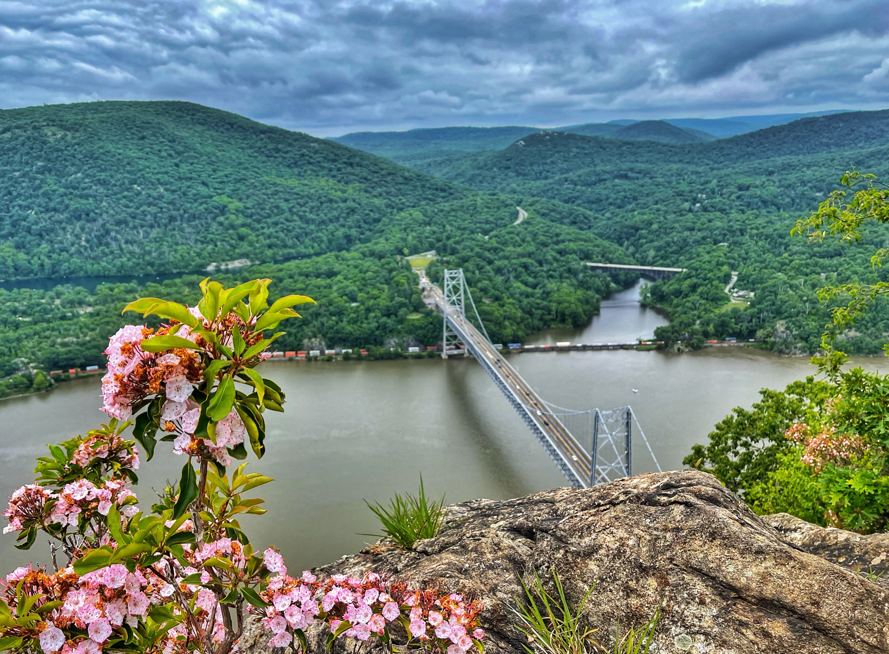
A quarter mile ahead is another viewpoint, now with a closer view of Bear Mountain Bridge.

The trail now climbs even more steeply. Eventually, you’ll reach a rocky clearing. This area once was the site of an airway beacon. Remains of the foundations can still be seen nearby. A geodetic survey marker is also near what might have been a footing.
The trail briefly reenters the woods and reaches a junction with a sign.
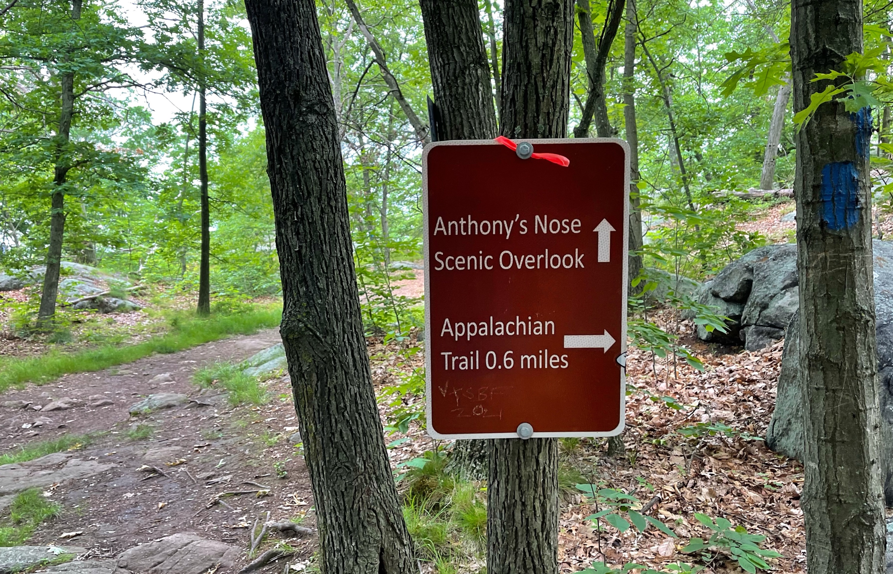
Head in the direction of the Anthony’s Nose Scenic Overlook, following a short spur trail.
Anthony’s Nose
The trail ends at the overlook, a wide open rocky area with broad panoramic views to the west.
This is a popular spot and chances are you won’t be alone up here. But that’s with good reason. The views are spectacular. This is a great spot to take a break or have a snack.
When you’re ready to continue, just retrace your steps back to the parking lot.

