Overview: This hike to Anthony’s Nose is a steep and strenuous, but relatively short scramble with a great payoff view. This unofficial but well-marked trail was previously the Appalachian Trail, which has since been relocated slightly to the north.
NOTE: This trail is unofficial and does not appear on NY-NJ Trail Conference, National Geographic, or most other maps. Most guides show taking the Appalachian Trail up to the Blue Trail to reach Anthony’s Nose. That is the way this hike goes down, but we will be taking a different way up.
Hike Length: 1.6 miles
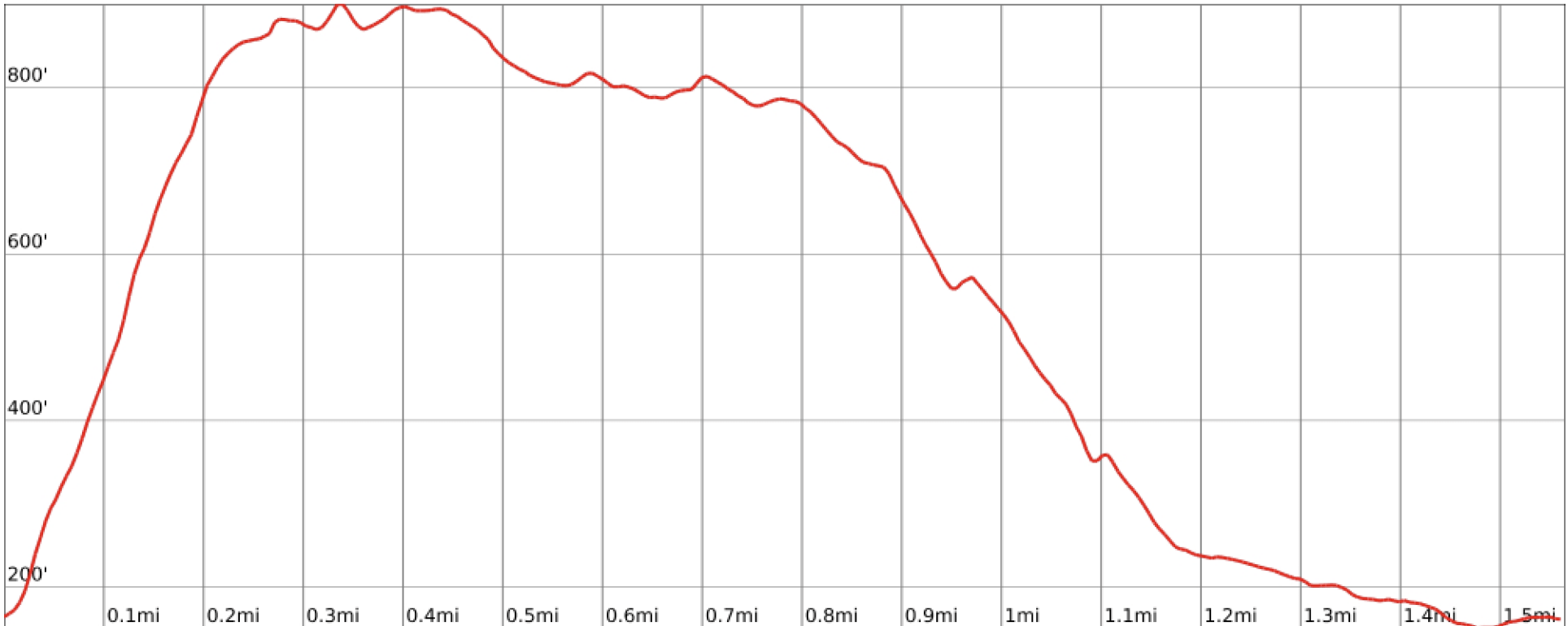
Elevation gain: 870 ft
Location: Hudson Highlands State Park Preserve, Beacon, NY
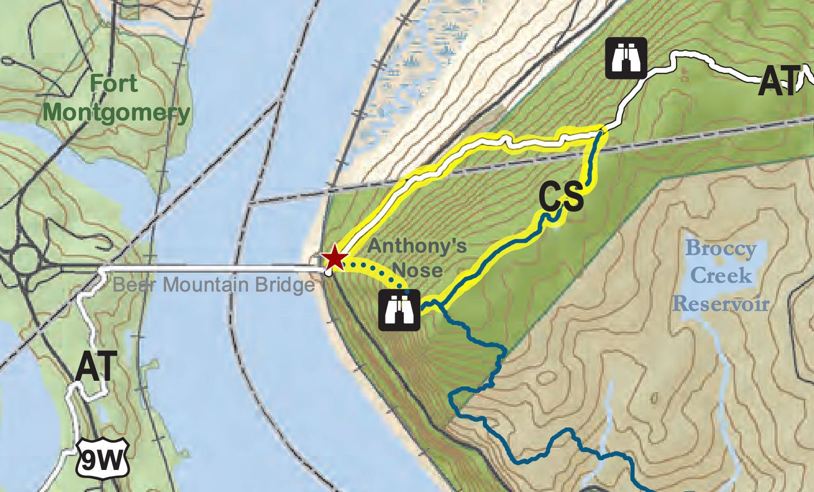
Parking: Park on the shoulder of Rt 9D immediately after crossing the Bear Mountain Bridge and making a left onto 9D (near the red star in the map below).
Map: Hudson Highlands Trail Map South (NOTE: the first part of this hike, the steep scramble, is an unofficial trail that does not appear on official maps. It is indicated below as a blue dotted path.)

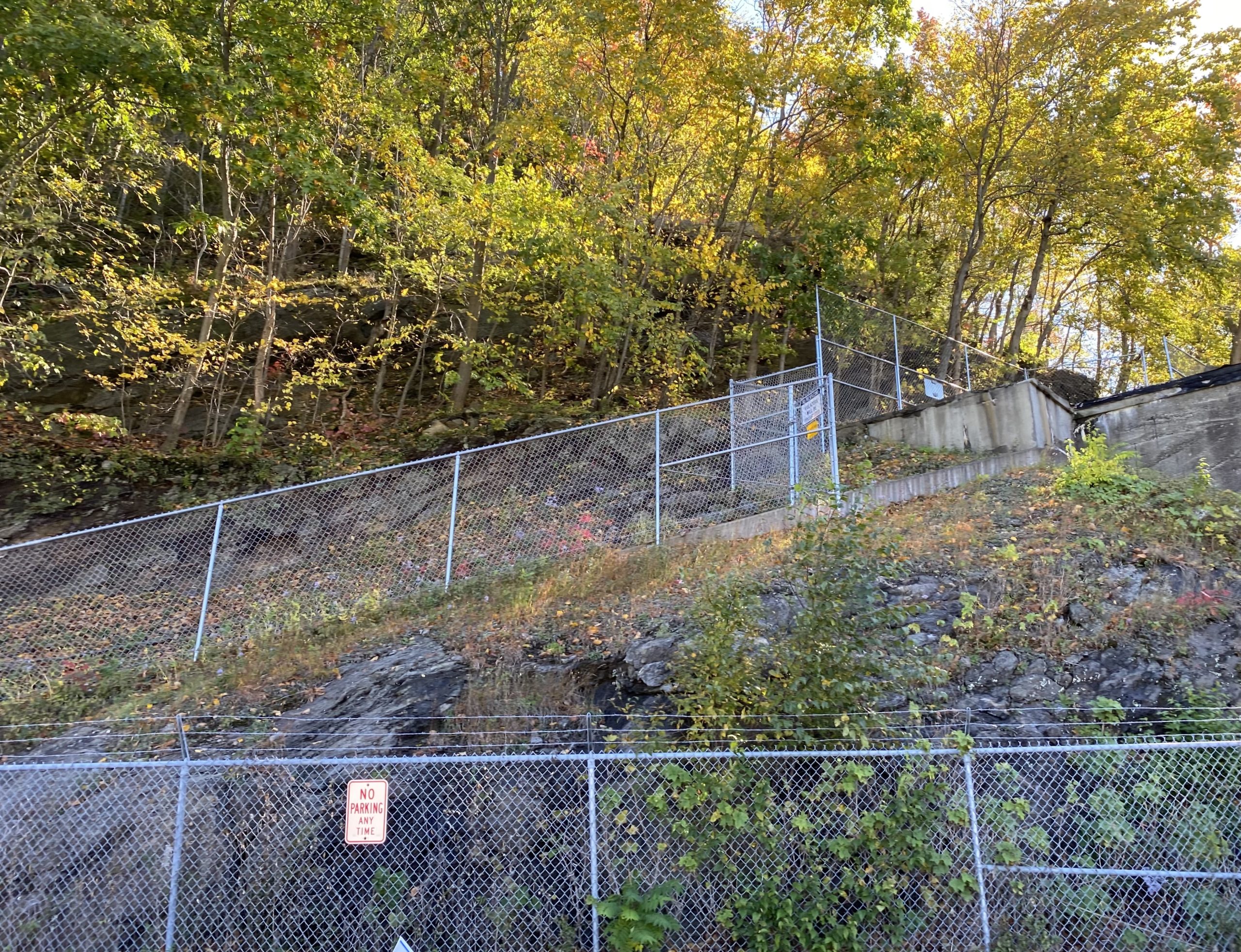
Trail Description: The trail begins on Rt 9D just north of the junction with the Bear Mountain Bridge on the east side of the road(red star on the map above). Follow the worn trail next to the chain link fence steeply up until you see the unofficial blue blazes.

Keep your trekking poles stashed – you’ll need your hands to scramble up the steep trail.
It’s only a third of a mile to Anthony’s Nose, but you’ll gain 700 feet of elevation in the first quarter mile, after which the trail begins to level off. While this scramble is relatively unknown and you may find few people on this part of the trail, Anthony’s Nose is a popular destination for obvious reasons, so don’t expect solitude at the top unless you go at a strange time.
 To return, head northeast and follow the blue-blazed Camp Smith trail (not the same way you came up). Make a left once you reach the Appalachian Trail (white blazes) and continue until you reach Rt. 9D. Watch out for traffic as you walk back to your car.


