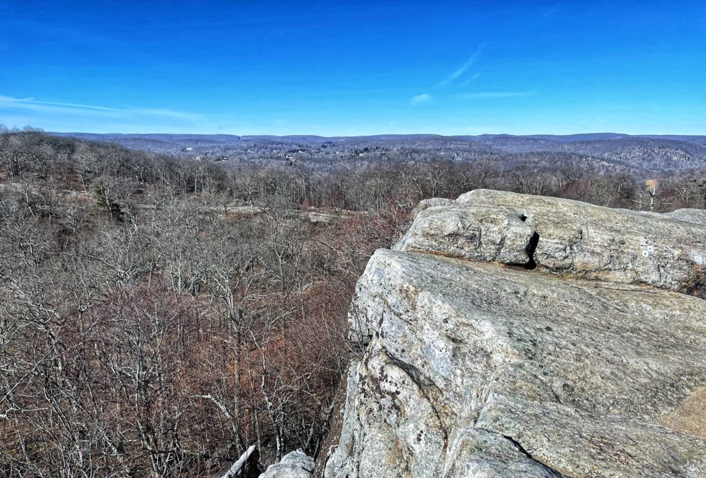
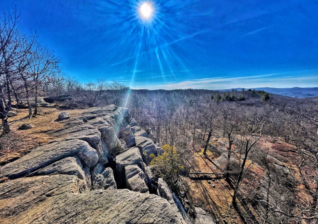
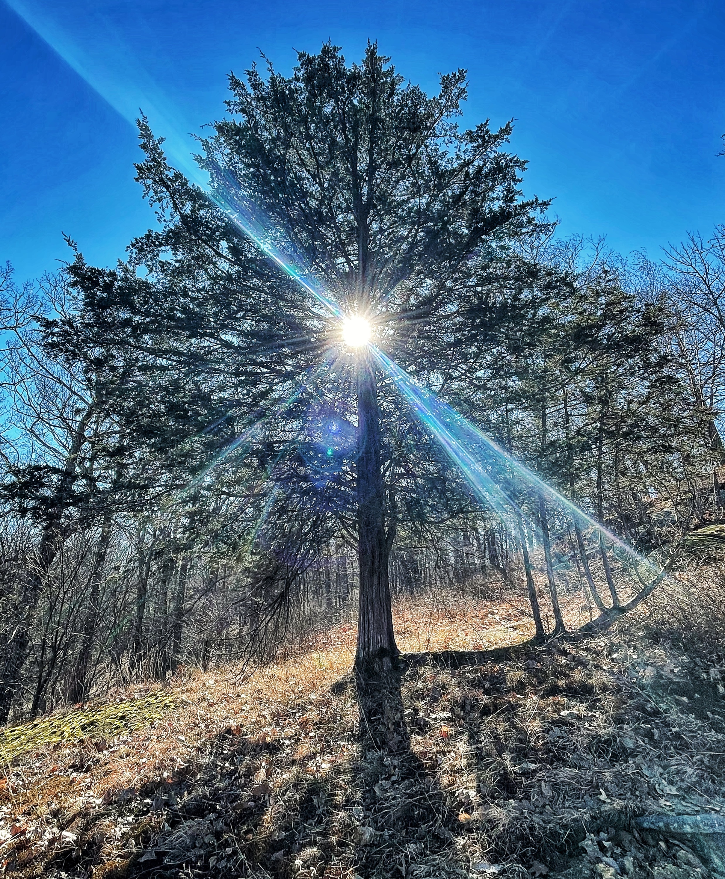
Overview: This hike visits Almost Perpendicular – a dramatic viewpoint from the top of a cliff – and the historic Claudius Smith Den – caves used by the notorious outlaw – and passes the interesting rock formation Elbow Brush.
Hike Length: 6.7 miles
Elevation gain: +1,700 feet
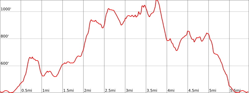
Location: Harriman State Park, Tuxedo, NY
About Harriman State Park: Harriman State Park is the second-largest park in the New York parks system, with 31 lakes and reservoirs, 200 miles of hiking trails, two beaches, two public camping areas, a network of group camps, miles of streams and scenic roads, and scores of wildlife species, vistas and vantage points.
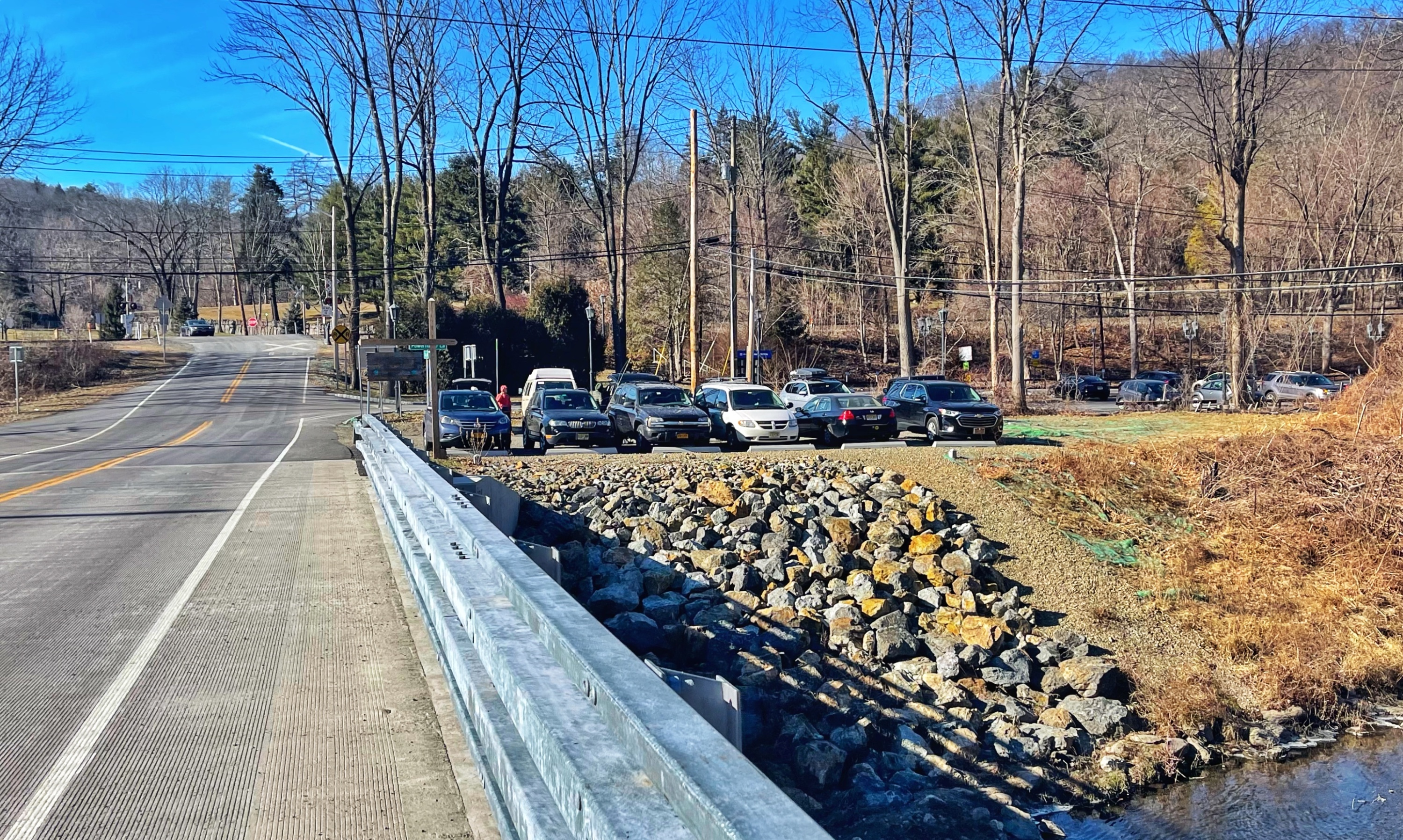
Parking: Park in the lot on East Village Road (Google maps link). This hike is also accessible by taking the train to the Tuxedo train station.
Map
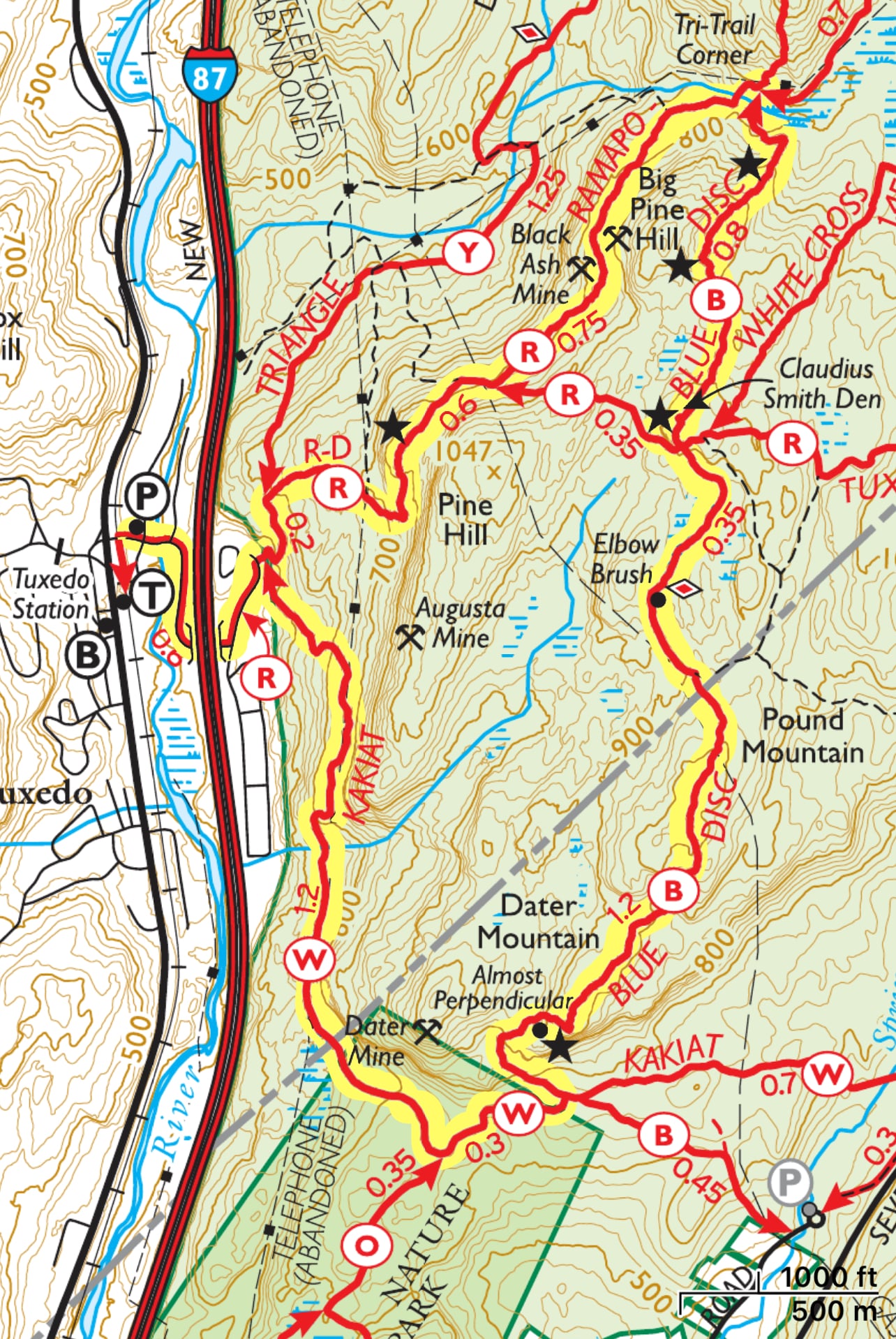
- Harriman State Park map (NY State Parks)
- Harriman-Bear Mountain Trails Map #118 – NY-NJ Trail Conference
- Harriman-Bear Mountain – NY-NJ Trail Conference (Avenza)
- Harriman, Bear Mountain, Sterling Forest State Parks Map – National Geographic
Trail Description
From the parking lot, head east on East Village Road. Follow the road under the New York Thruway, then turn left on Grove Drive and follow it north for 800 feet until you see the trailhead on your right.
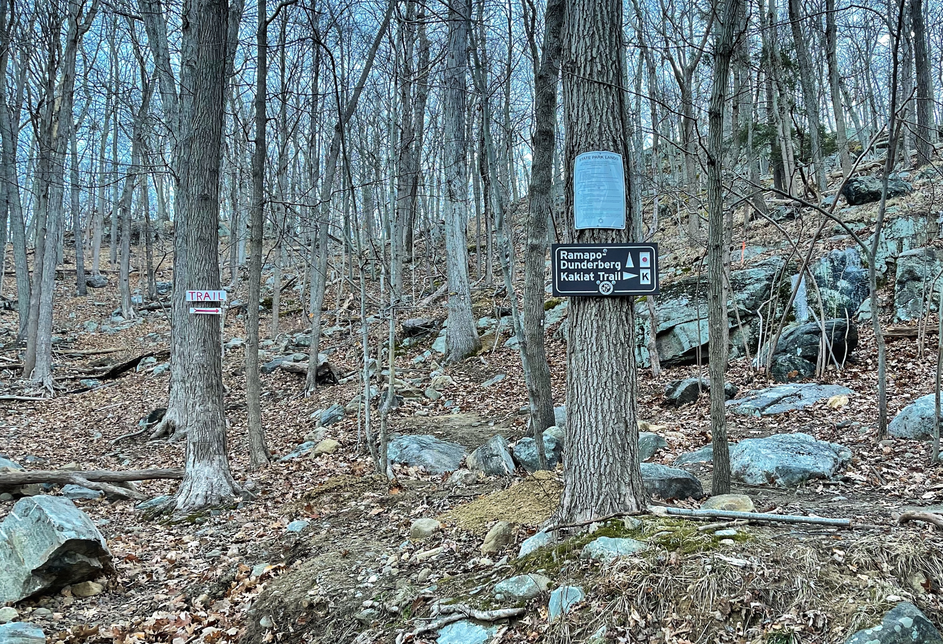
Facing the woods, look to your right to find three white blazes marking the starty of the Kakiat Trail. We’ll follow the white blazes for 1.5 miles. The trail heads uphill along a woods road and continues to climb.
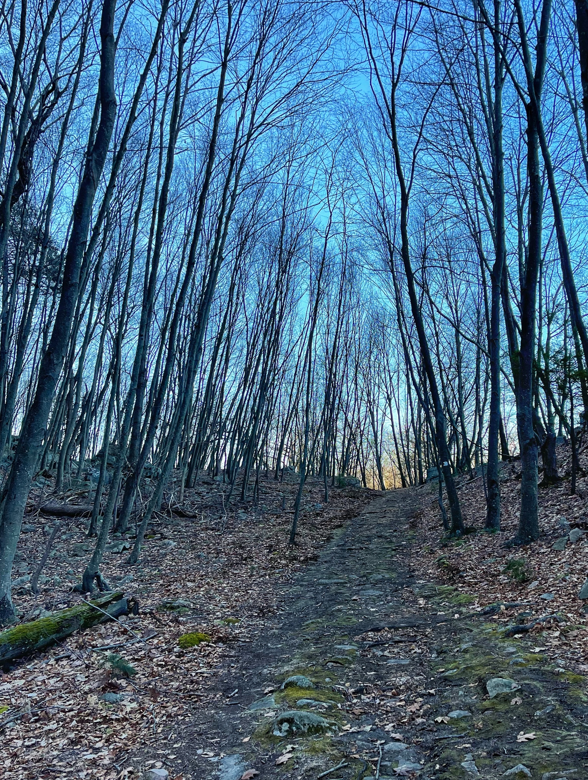
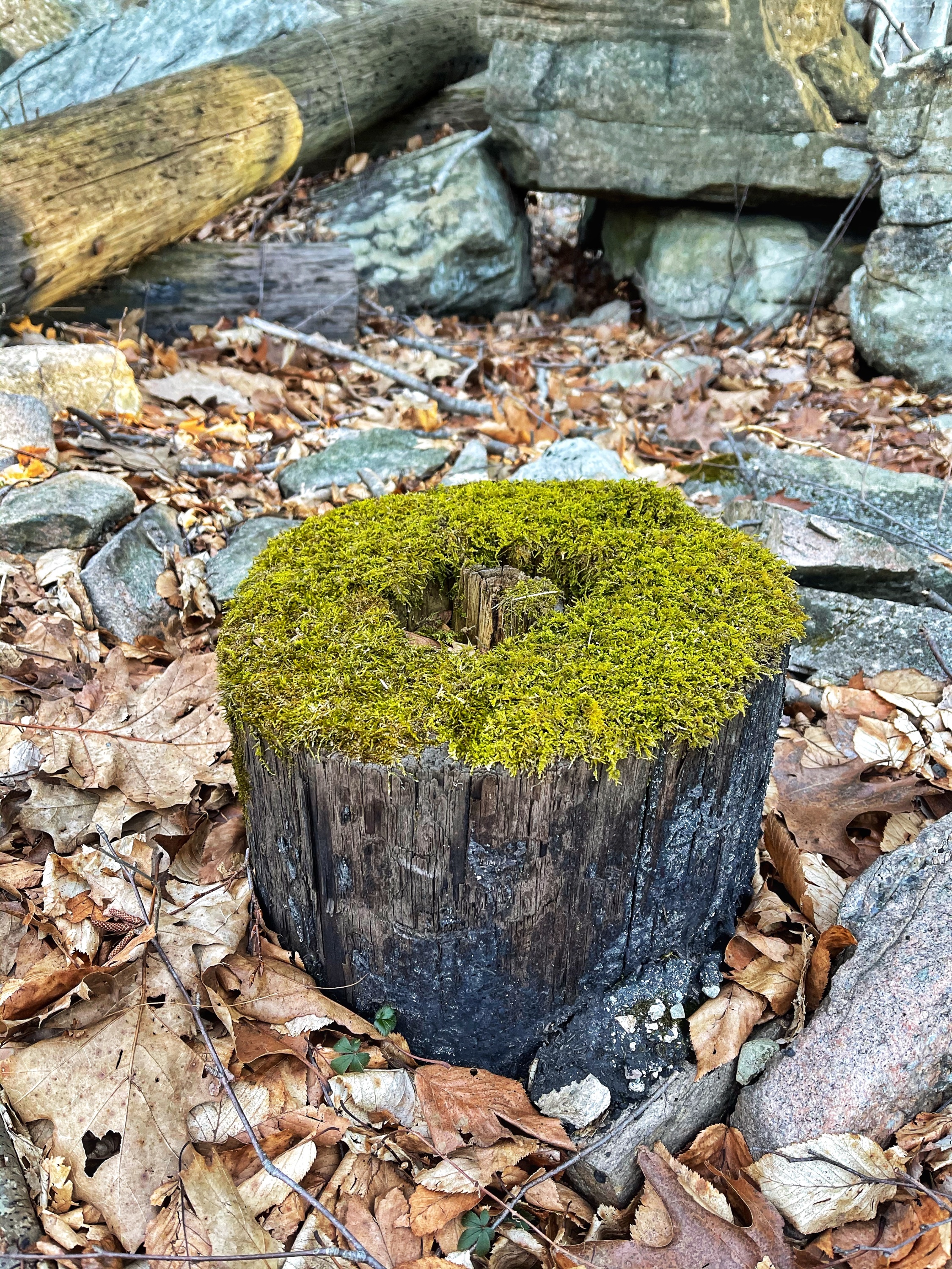
It closely follow the path of an abandoned telephone line. You may see telephone pole remains along the way.
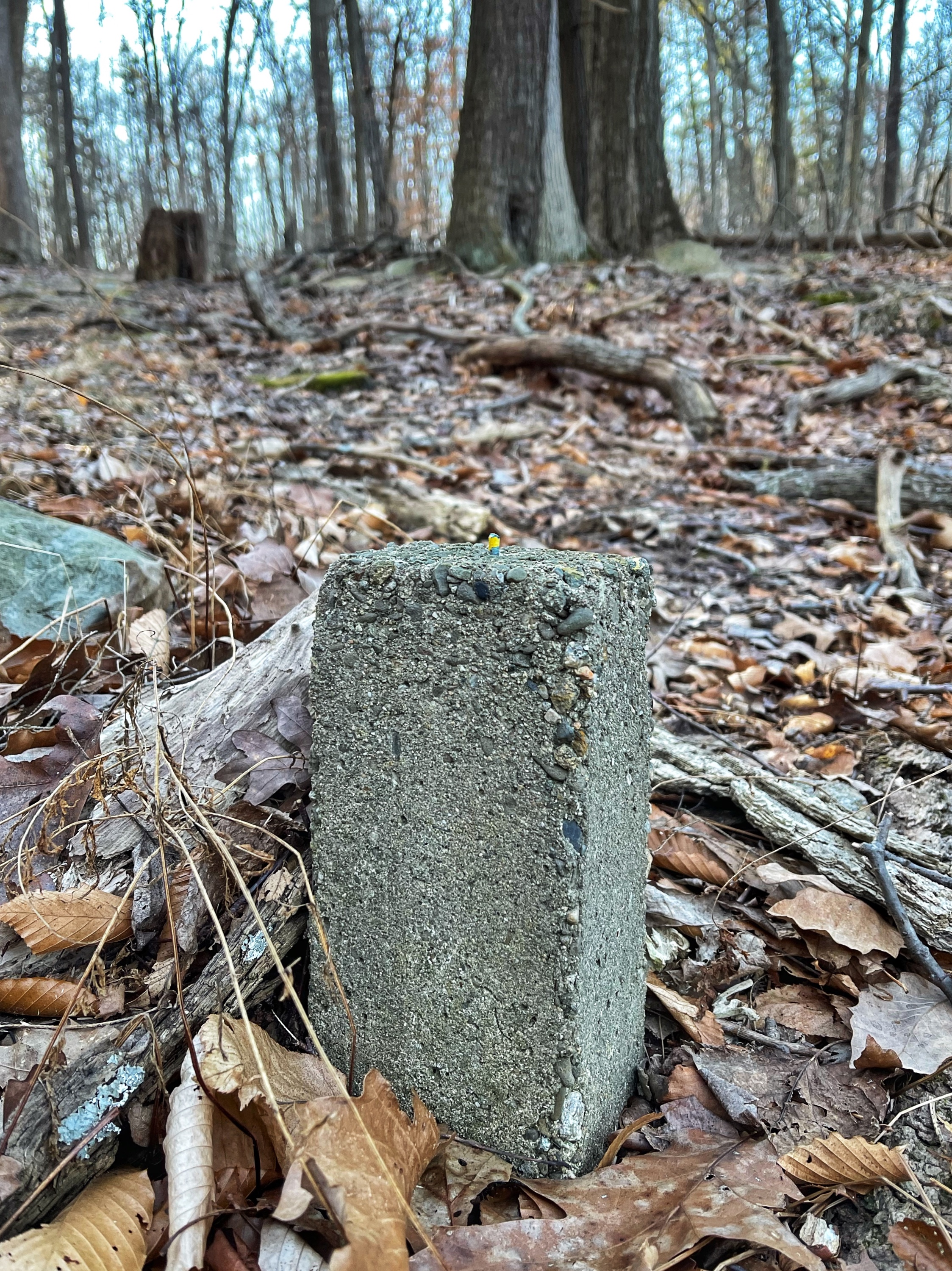
On your right will be views of Tuxedo. The trail then descends and crosses a stream. The trail crosses from Orange County into Rockland County. A small concrete monument on your right marks the border.
About 1.2 miles from the trailhead, you’ll reach a junction with the Orange Trail. Stay left and continue to follow the white blazes. A quarter mile later, just past a large boulder on your right, you’ll reach a junction with the blue-dot-on-white blazed Blue Disc trail. Turn left to follow the Blue Disc trail.
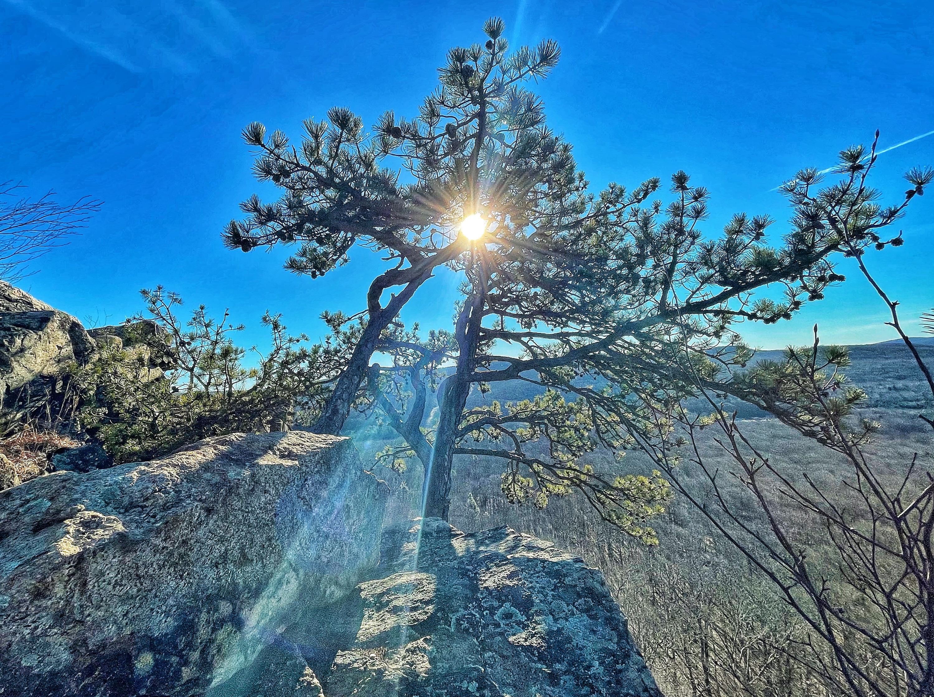
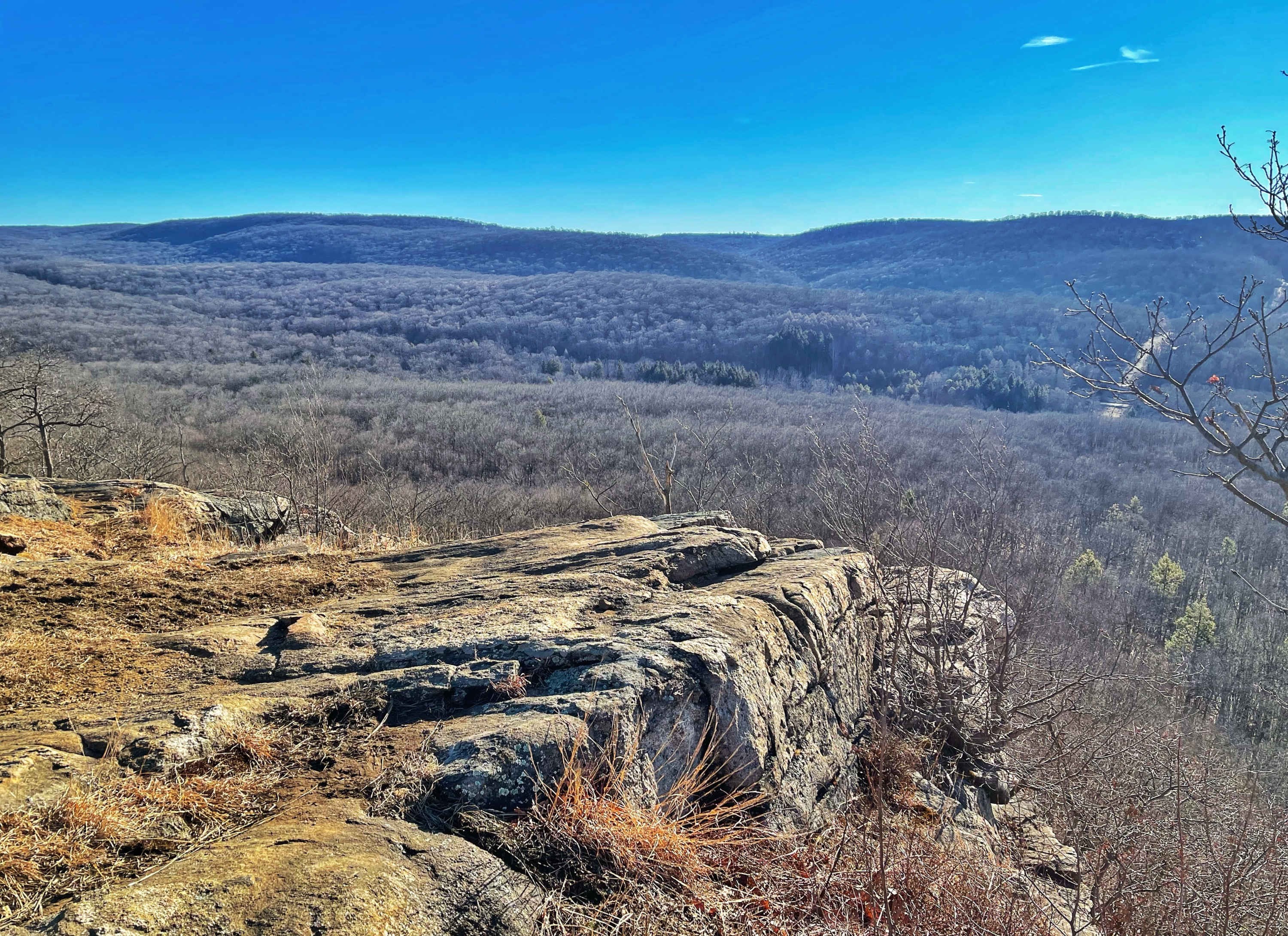
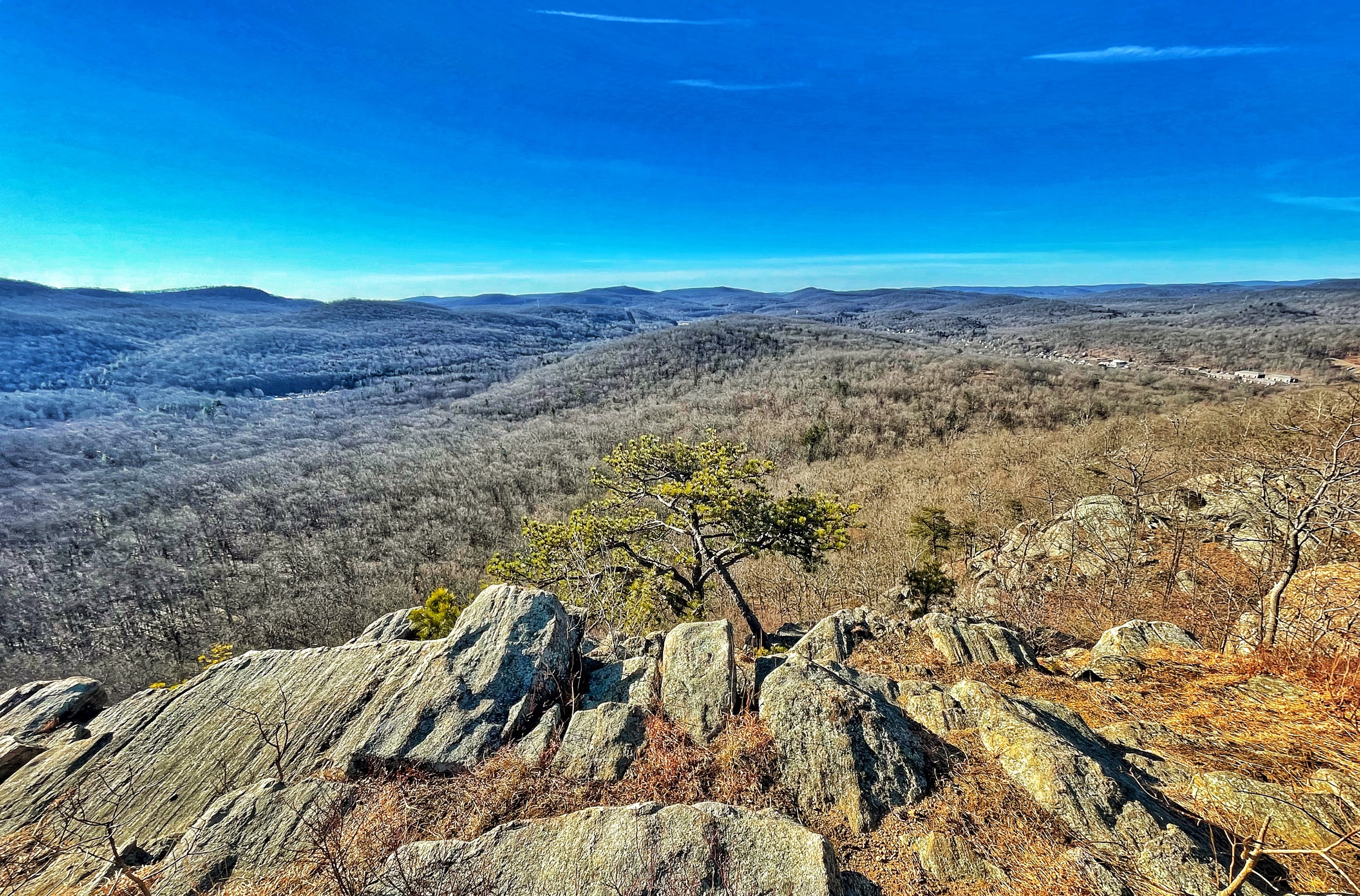
The trail now heads uphill somewhat steeply at times, leading to the top of Almost Perpendicular – a dramatic viewpoint at the top of a cliff with panoramic views of the Ramapo Mountains. This is a great spot to take a break, enjoy the view, and have a snack.
Continue north on the trail as it descends before climbing steeply to the summit of Pound Mountain. You’ll soon cross a gas pipeline.
After crossing a stream, the trail passes through a rock cave and then through a through a narrow crevice known as “Elbow Brush.”
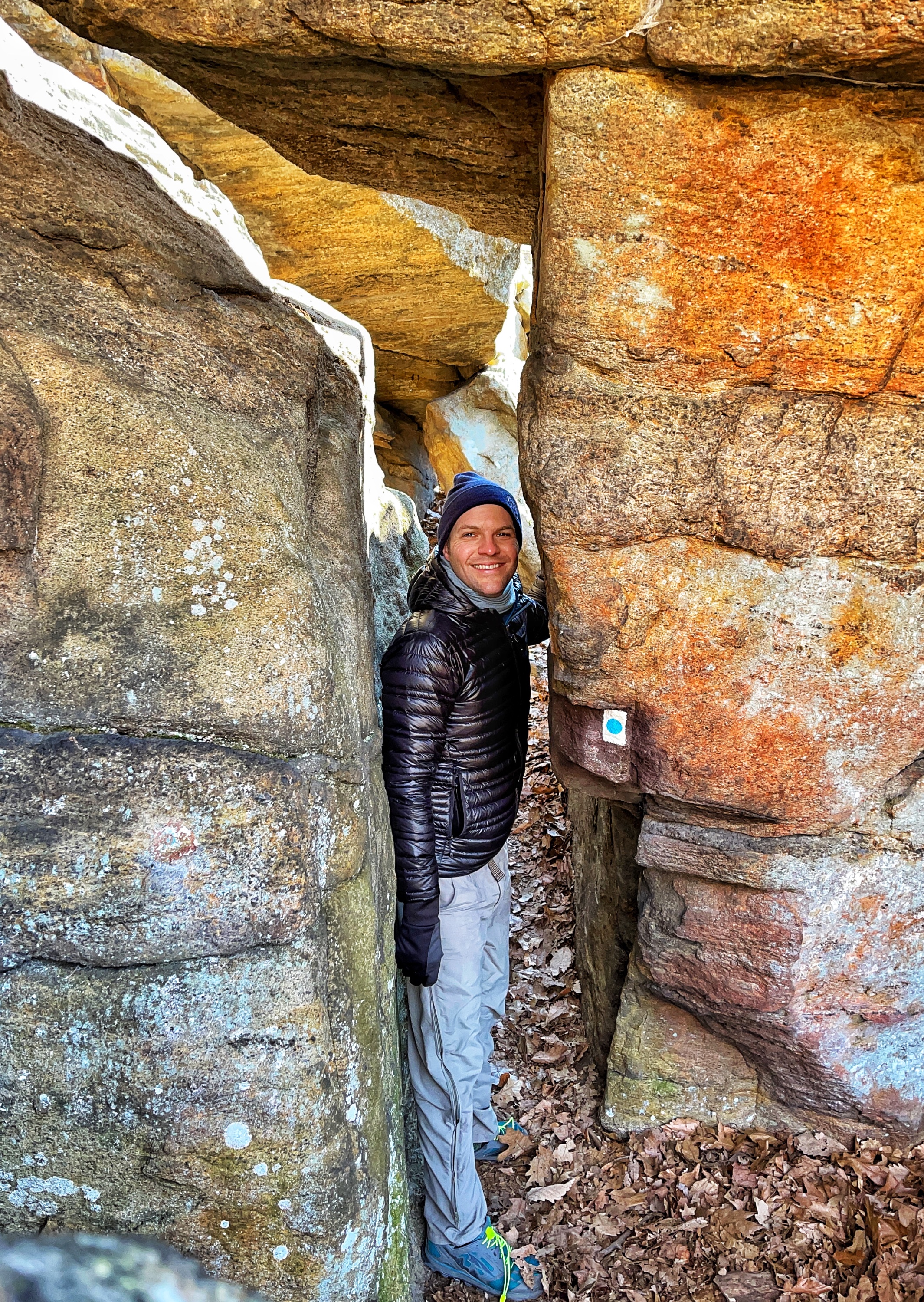
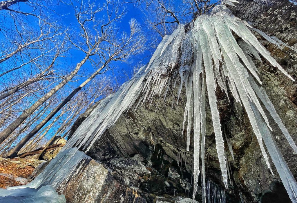
About a third of a mile later, the trail reaches a junction with the red-dash-on-white-blaed Tuxedo Mt. Ivy (TMI) Trail. Briefly turn left and follow the trail a short distance to the base of Claudius Smith Rock and the caves known as the Claudius Smith Den.
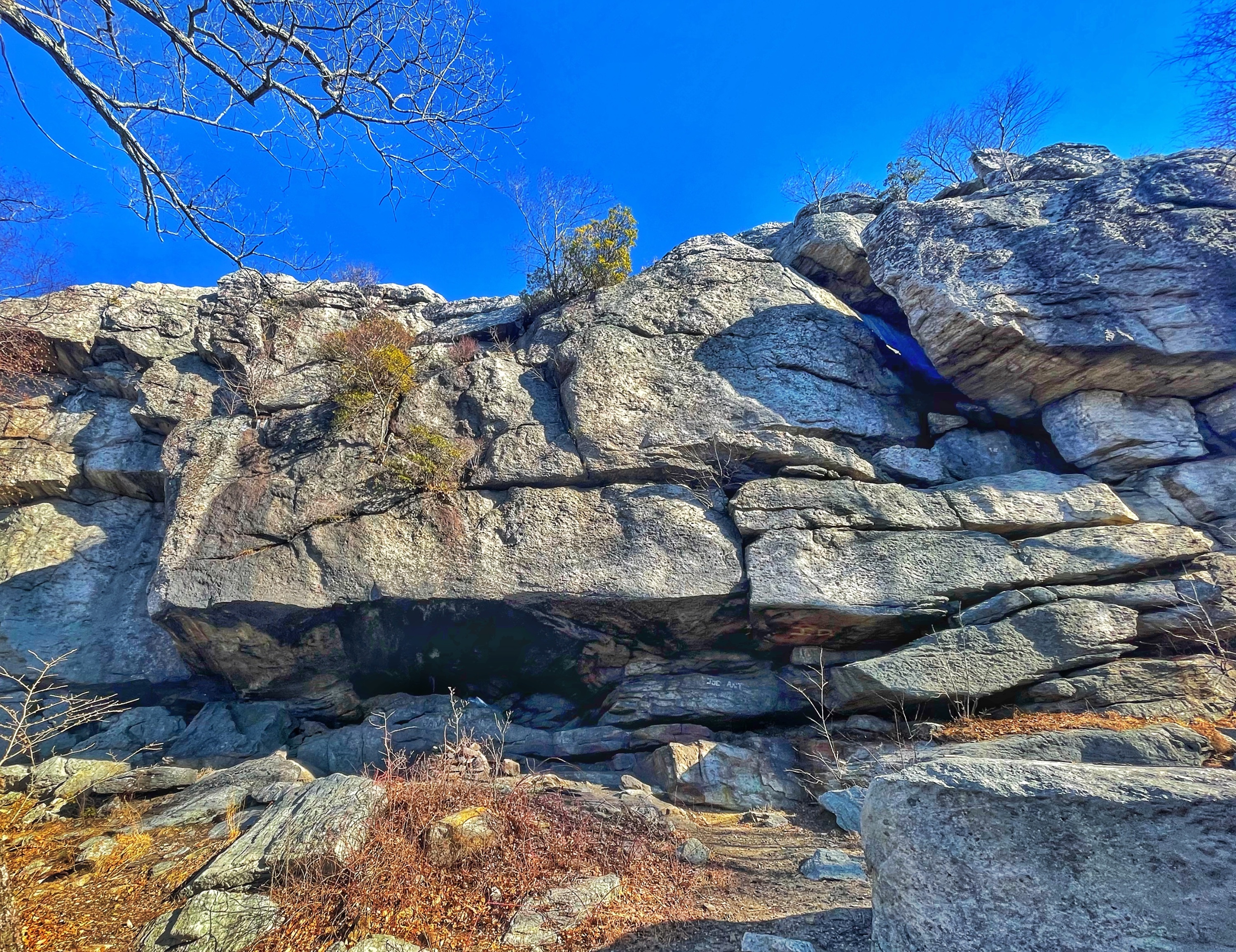
Claudius Smith (1736-1779) was a notorious outlaw during the American Revolution. He led a gang of thieves, consisting of his sons and several other men, known locally as the “cowboys.” They robbed farms, hijacked the arsenal trains of the Continental Army, and his out in remote caves, such as Claudius Smith Den. Smith was captured and jailed in 1777, but he escaped. In December 1778, he was captured once again, and he was hanged in Goshen, NY in January 1779. Two of his sons were subsequently captured and hanged, while the third died in jail of wounds inflicted by soldiers of the Continental Army.
Circuit Hikes in Harriman
Retrace your steps back to the junction, then make a left to follow the Blue Disc trail and climb to the top of Claudius Smith Rock – a beautiful rock formation with views of the surrounding mountains.
Continue north on the Blue Disc Trail as it descends.
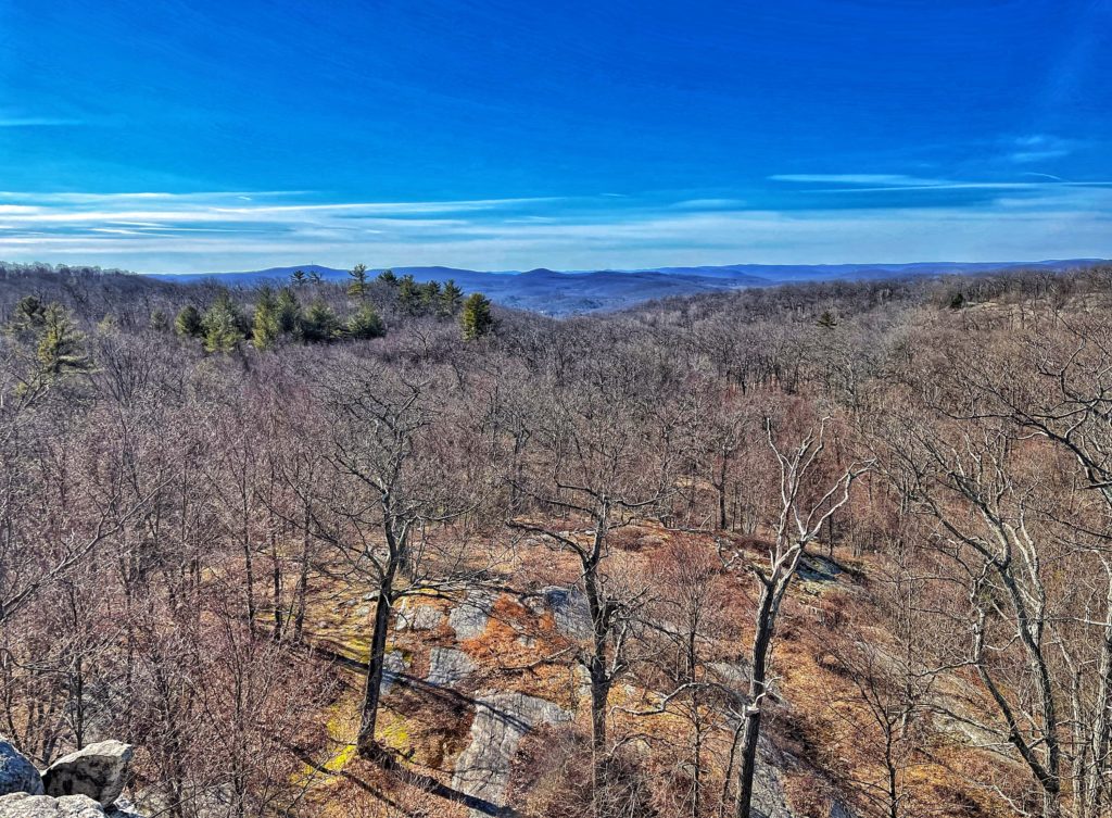
The trail then climbs Big Pine Hill, offering panoramic views. The trail then descends steeply.
Near the bottom before reaching Black Ash Swamp makes a sharp turn to the left. The trail crosses the swamp on a natural rock dam.
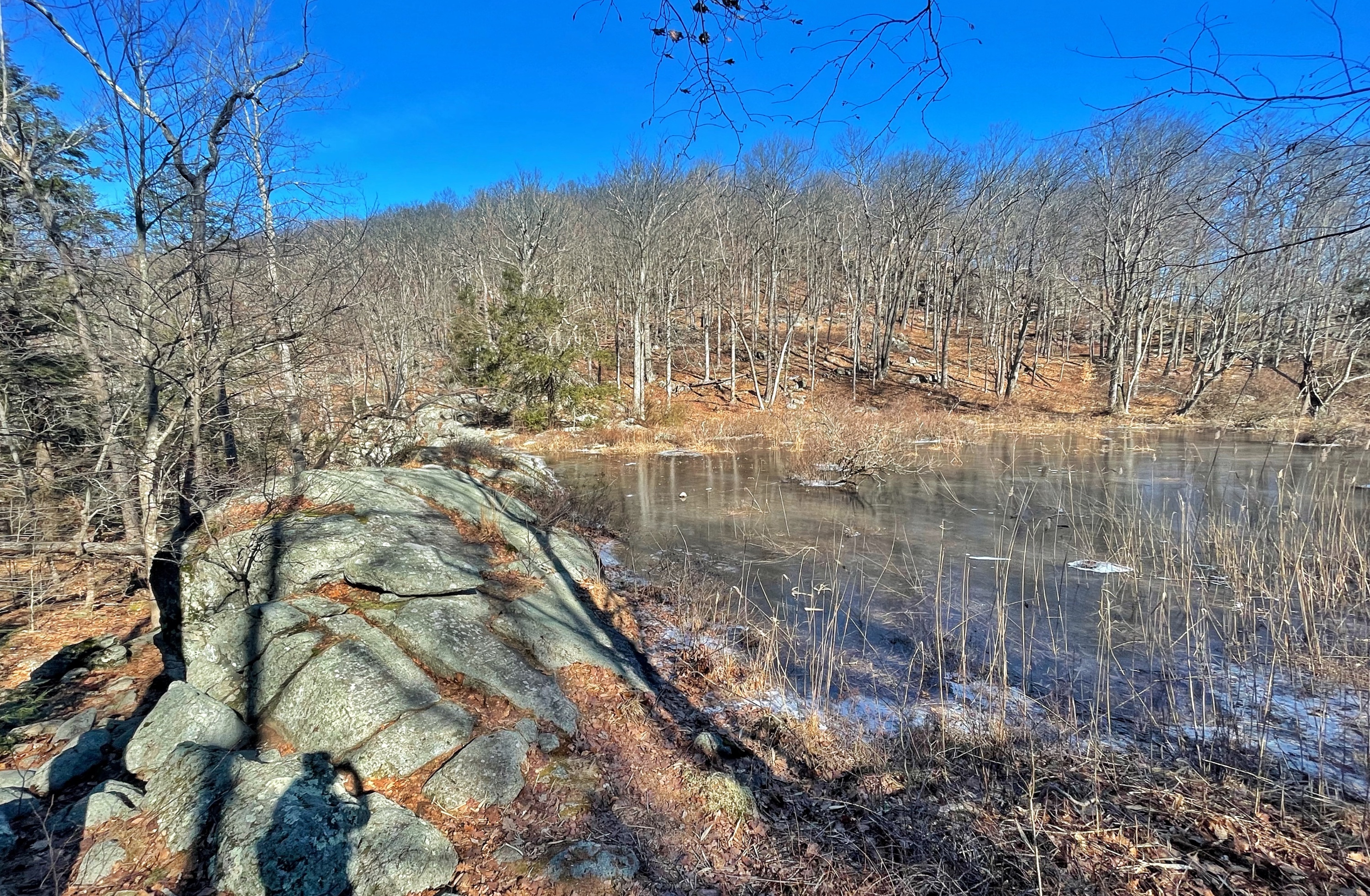
Just after crossing the swamp, the trail ends at Tri-Trail Corner, where it intersects the red dot on white R-D trail and Victory Trail (blue V on white).
Turn left to follow the red-dot-on-white-blazed R-D Trail which almost immediately crosses a stream – the outflow of Black Ash Swamp.
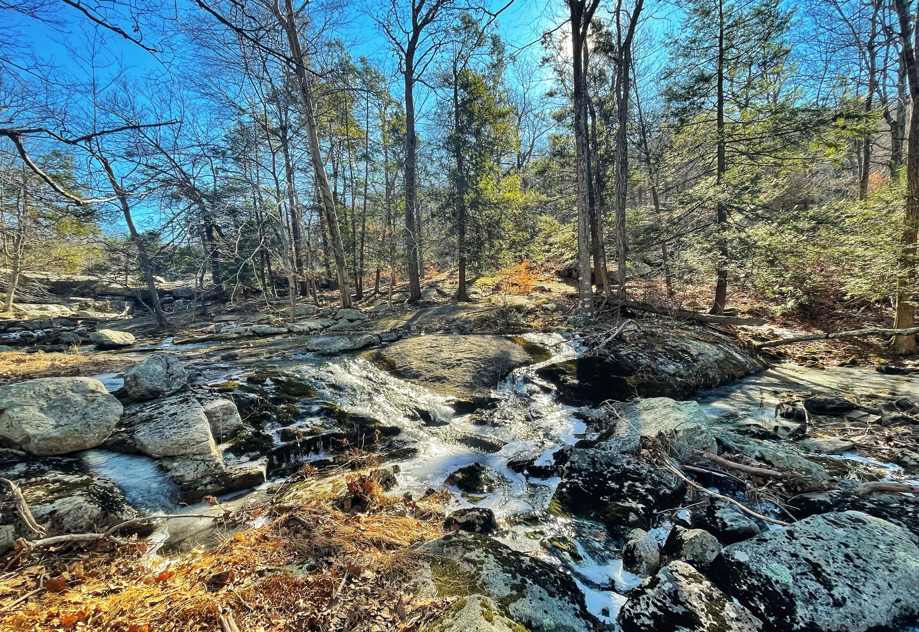
The trail briefly descends then climbs, passing mine pits of Black Ash Mine along the way.
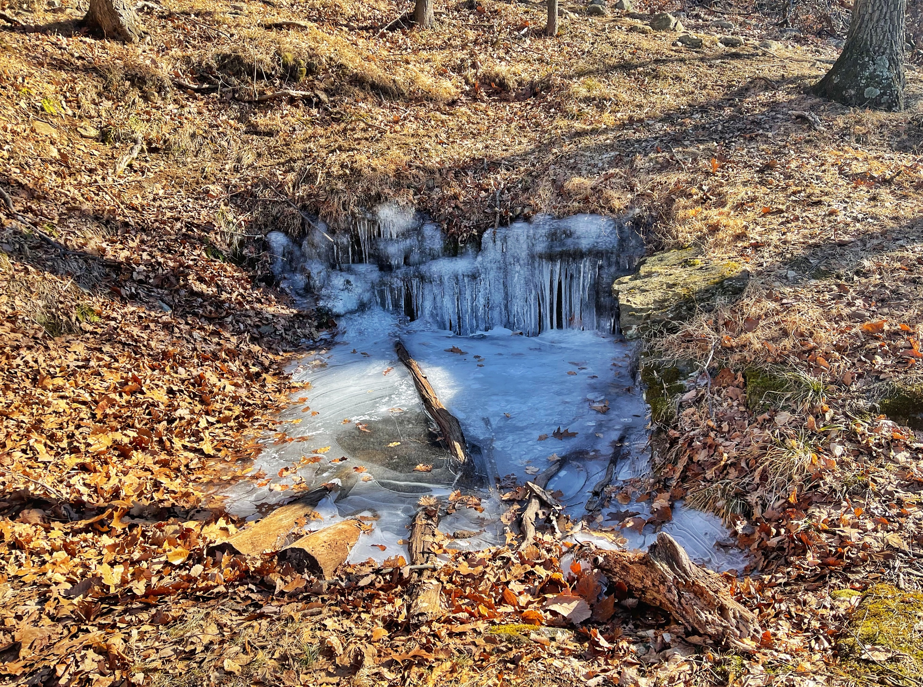
You’ll pass the trailhead for the T-MI trail on your left and then immediately cross a gas pipeline clearing.
The trail now climbs to a viewpoint over Tuxedo.

The trail continues to descend, and about a half mile later reaches the trailhead at Grove Drive. Turn left onto Grove Drive, pass under the New York Thruway, then turn right onto East Village Road to return to the parking lot.


