Overview
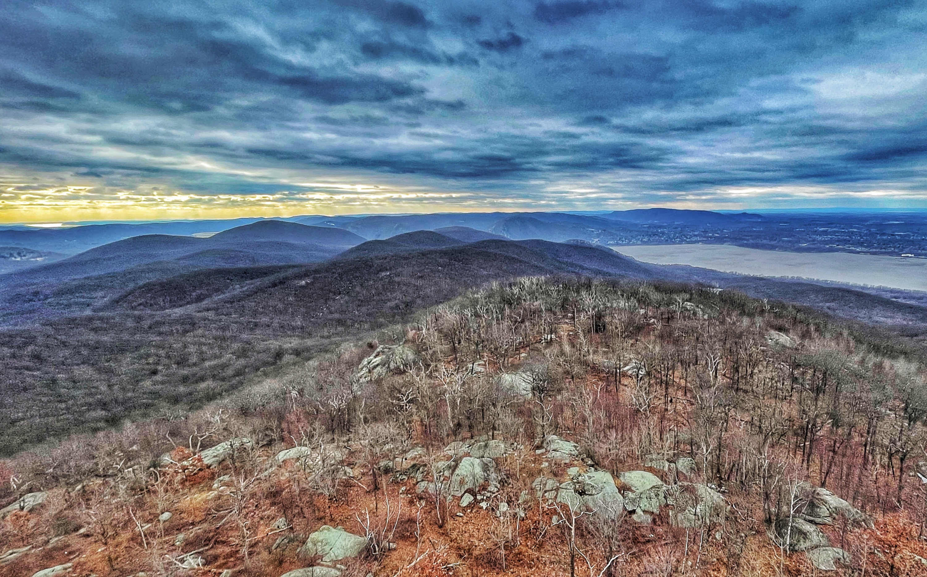
This is a moderately-difficult 4-mile out-and-back hike filled with history, ruins, and panoramic views of the Hudson Valley and beyond from the Mt. Beacon Fire Tower. The trail steeply climbs 1,000 feet over the first mile – and then climbs some more.
About Beacon
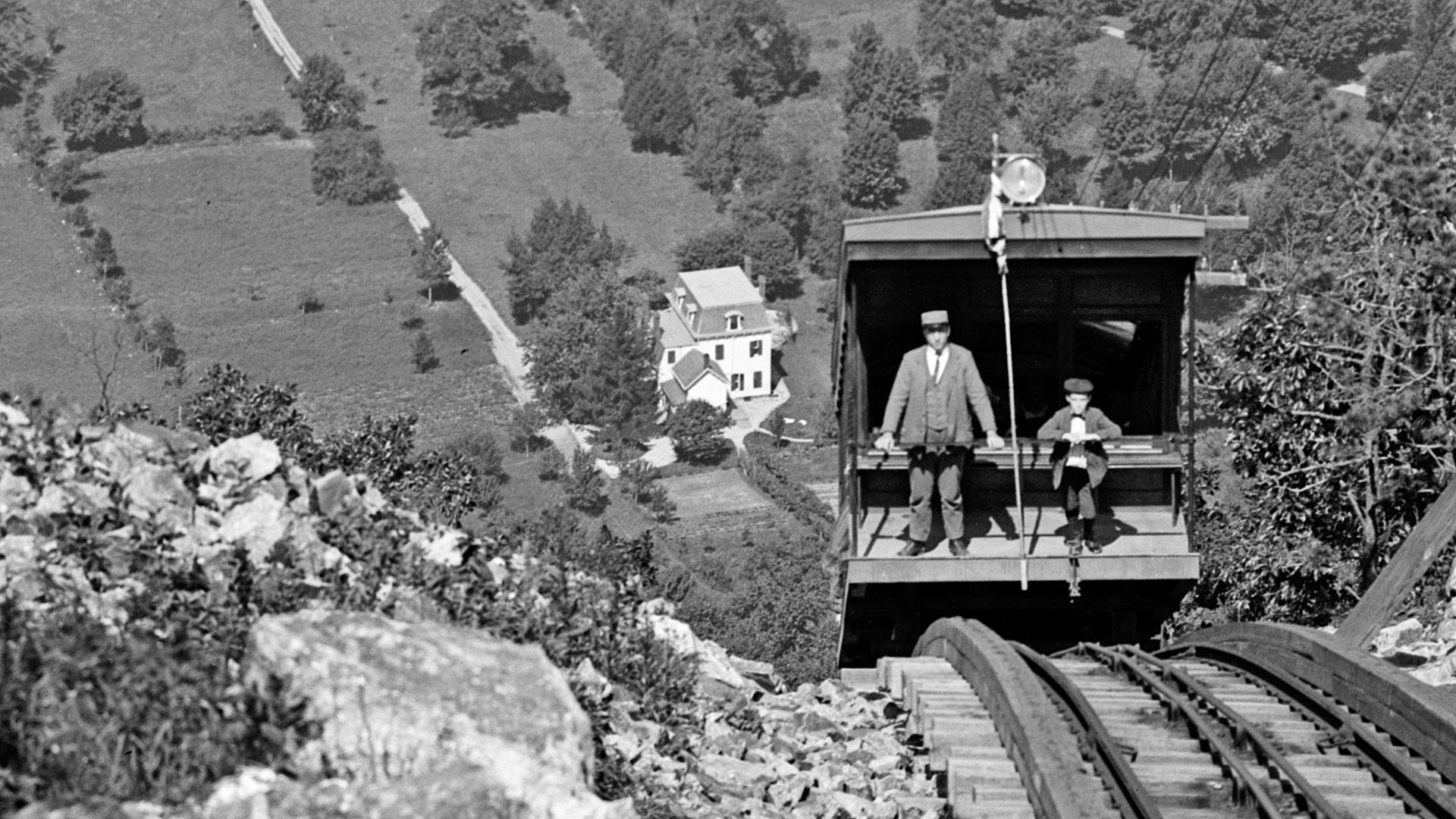
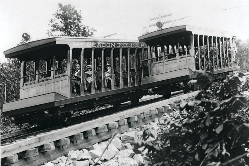
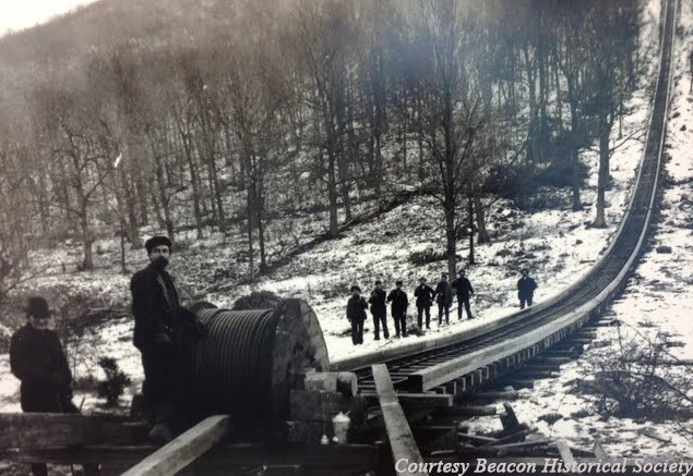
The City of Beacon takes its name from Beacon Mountain, where fires were kept by American militia during the Revolution. From 1902 to 1975, the Mount Beacon Incline Railway climbed the northwest face from
Hike Length: 4.0 miles
Elevation gain: 1,520 feet

Location: Mount Beacon Park & Hudson Highlands State Park Preserve, Beacon, NY
Parking:
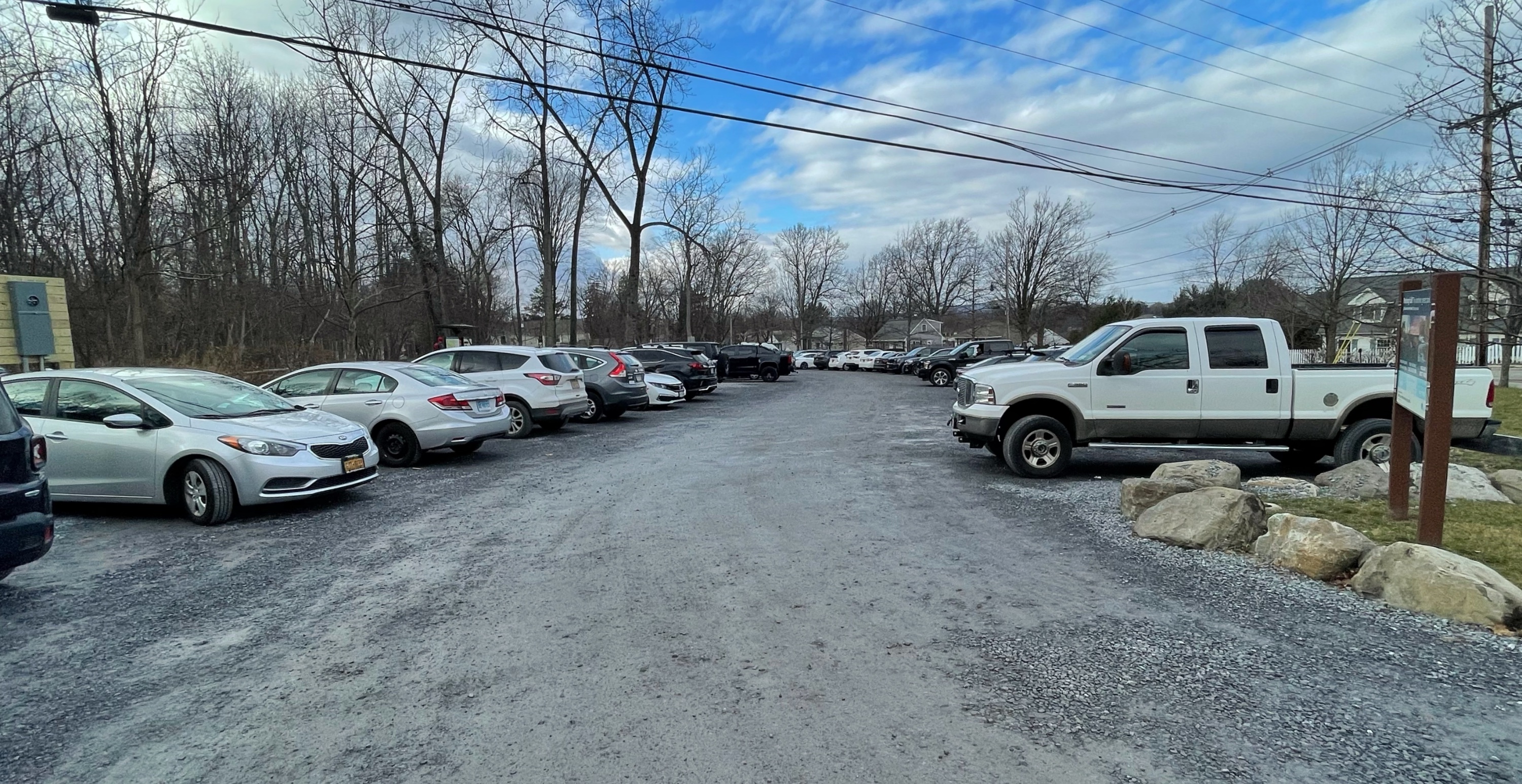
Park in the lot at Mount Beacon Park, 788 Wolcott Ave, Beacon, NY (Google maps). If the lot is full – and chances are good that it will be unless you get there early – you might be able to find on-street parking nearby.
Maps
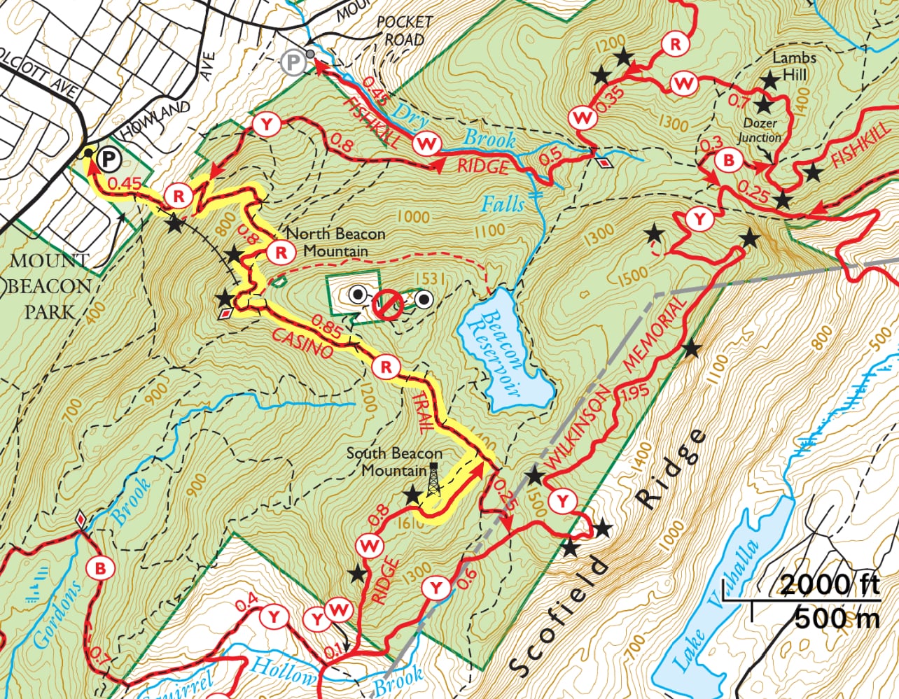
- East Hudson Trails combined (Avenza)
- East Hudson Trails Map #102 – NY-NJ Trail Conference (print)
- Mount Beacon Park Trail Map – Scenic Hudson
- Hudson Highlands State Park Preserve map (north) – NY Parks (pdf)
- Hudson Highlands State Park Preserve map (north) – NY Parks (Avenza)
Trail description
From the parking lot, look for the kiosk at the trailhead.
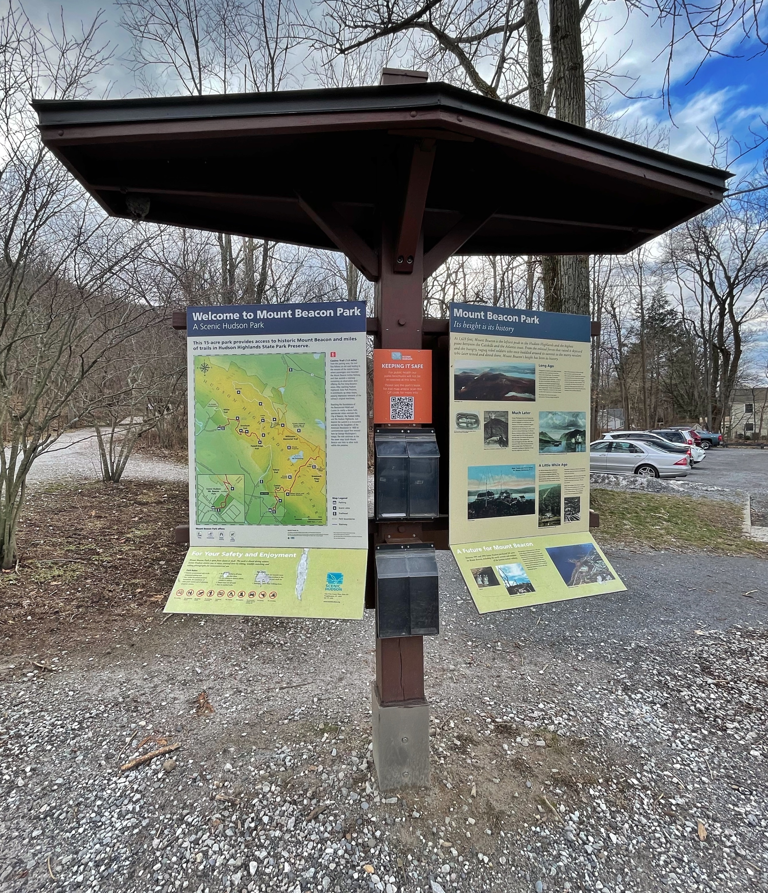
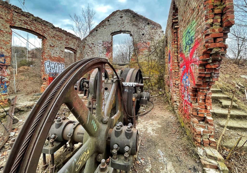
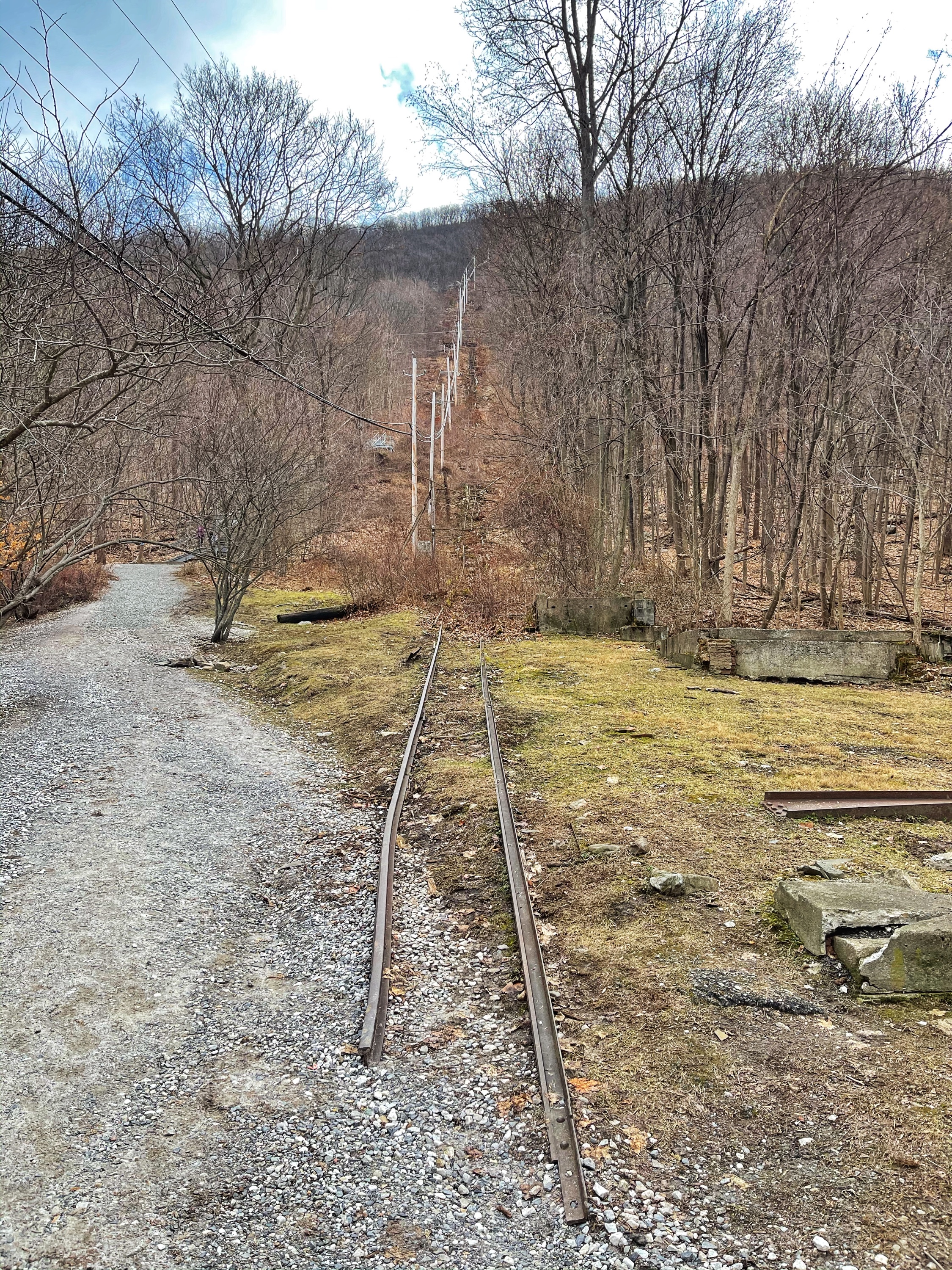
The red-blazed Casino trail begins ahead on a relatively level gravel road. For most of the way to the Mount Beacon Fire Tower, the route will follow a woods road. A short distance ahead, you’ll pass the remnants of the Mount Beacon Incline Railway – a funicular, or inclined railroad – that once took passengers up the (yup – steep) mountain which you’re about to climb. While in operation, it was the steepest funicular in the world.
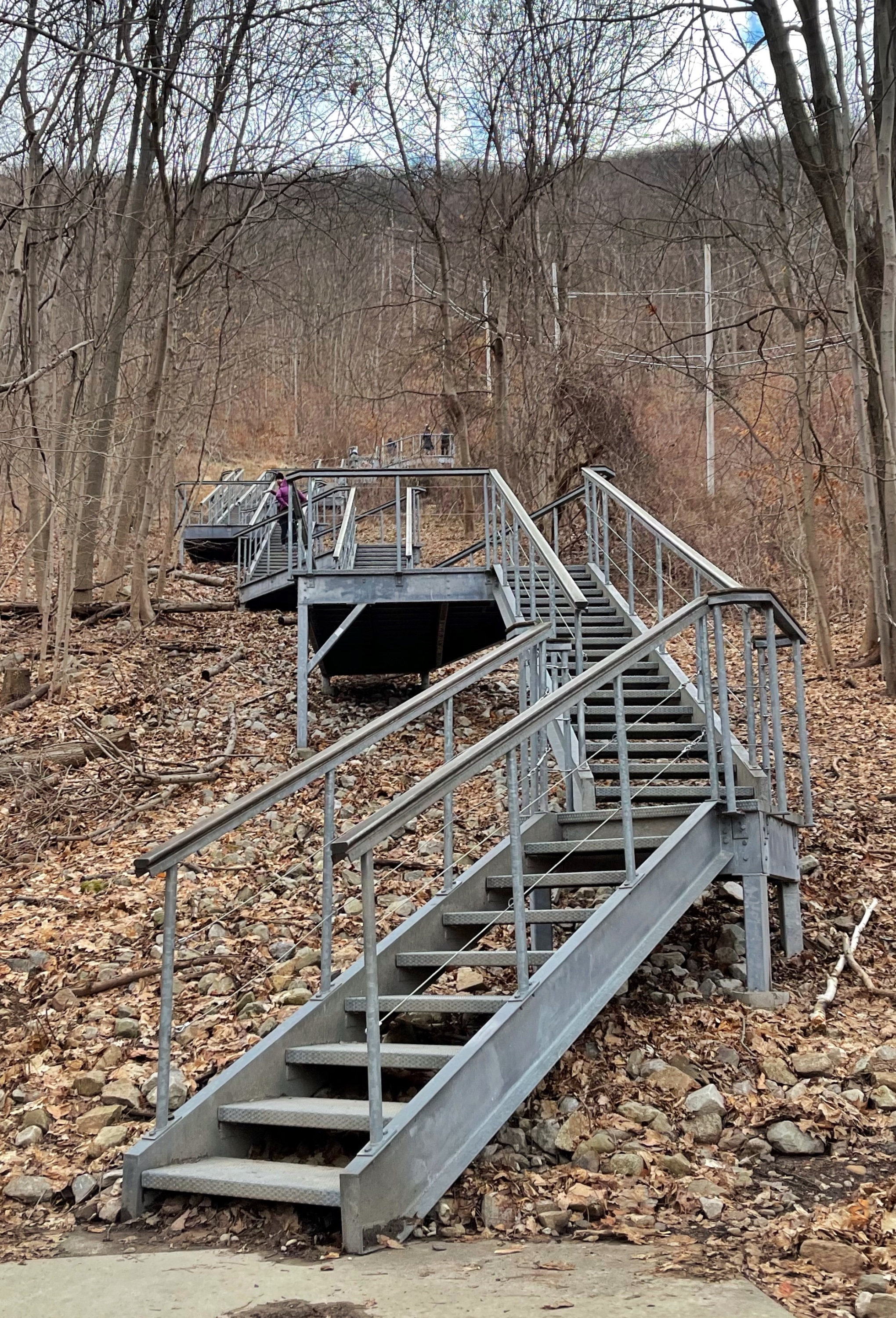
Just ahead is the base of a metal staircase helpfully placed here to make the walk up a little easier.
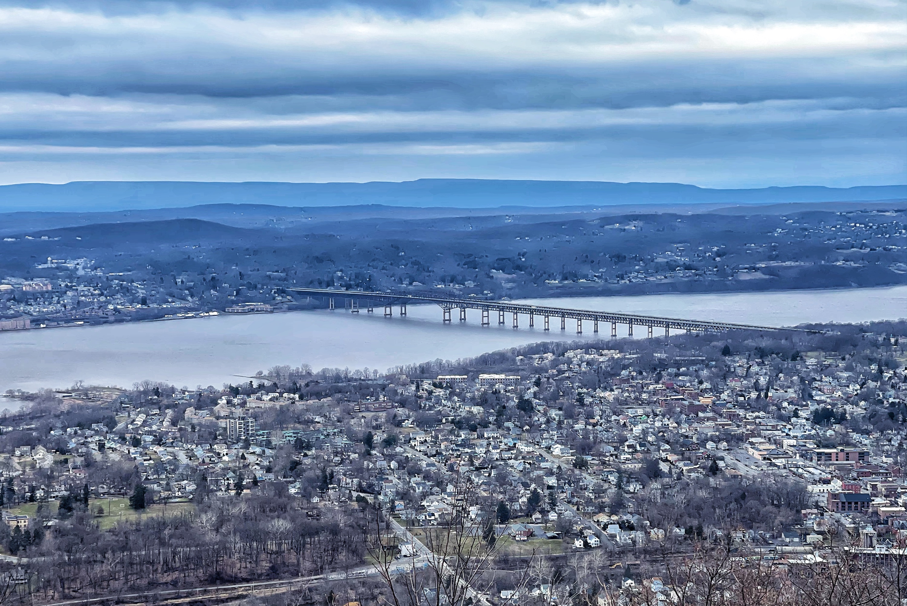
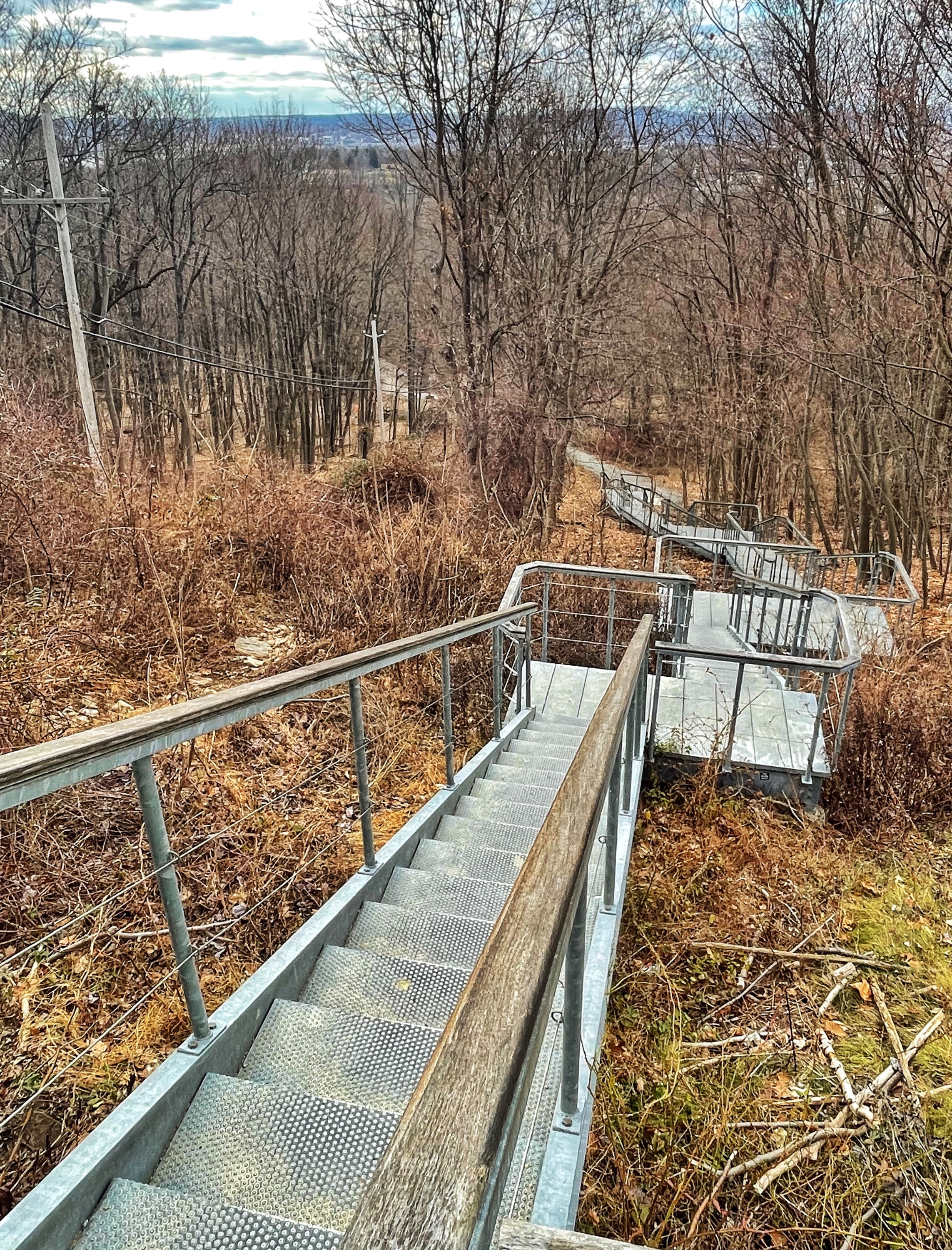
Turn around at the top of the stairs for your first glimpse of the views of Beacon.
The trail continues to climb the steep mountainside on switchbacks. It’ll get your heart pumping.
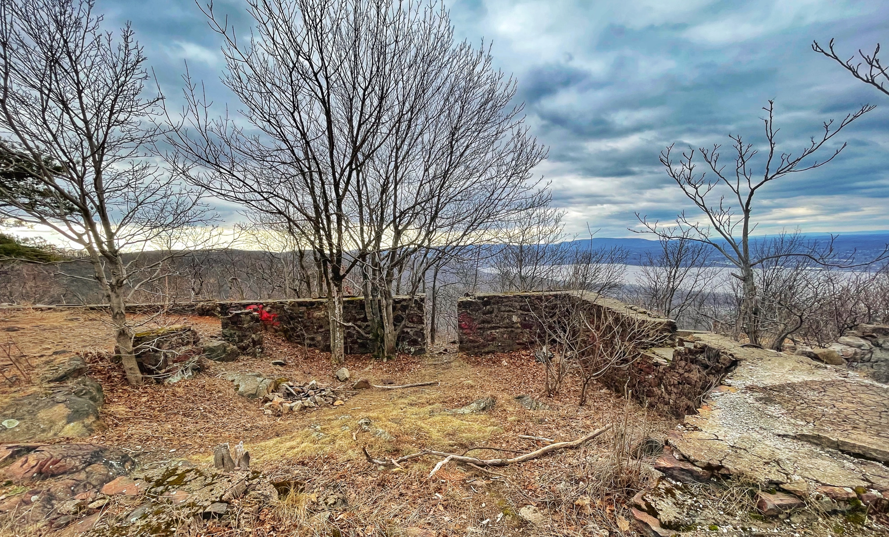
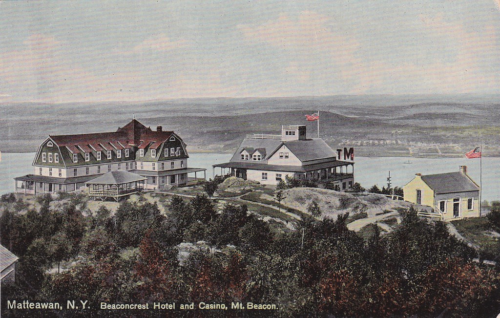
After a total of about 1.2 miles, the trail levels as you reach the abandoned powerhouse at what was once the top of the funicular on North Beacon Mountain. This area once had an old hotel and attracted tourists. All you’ll find today are what remains of the foundations. From here, you’ll be able to enjoy the same panoramic views of Beacon and the surrounding mountains.
Continue to follow the red blazes uphill, still along a woods road, for about 0.75 miles. Look to your right for an unblazed trail that goes steeply uphill.
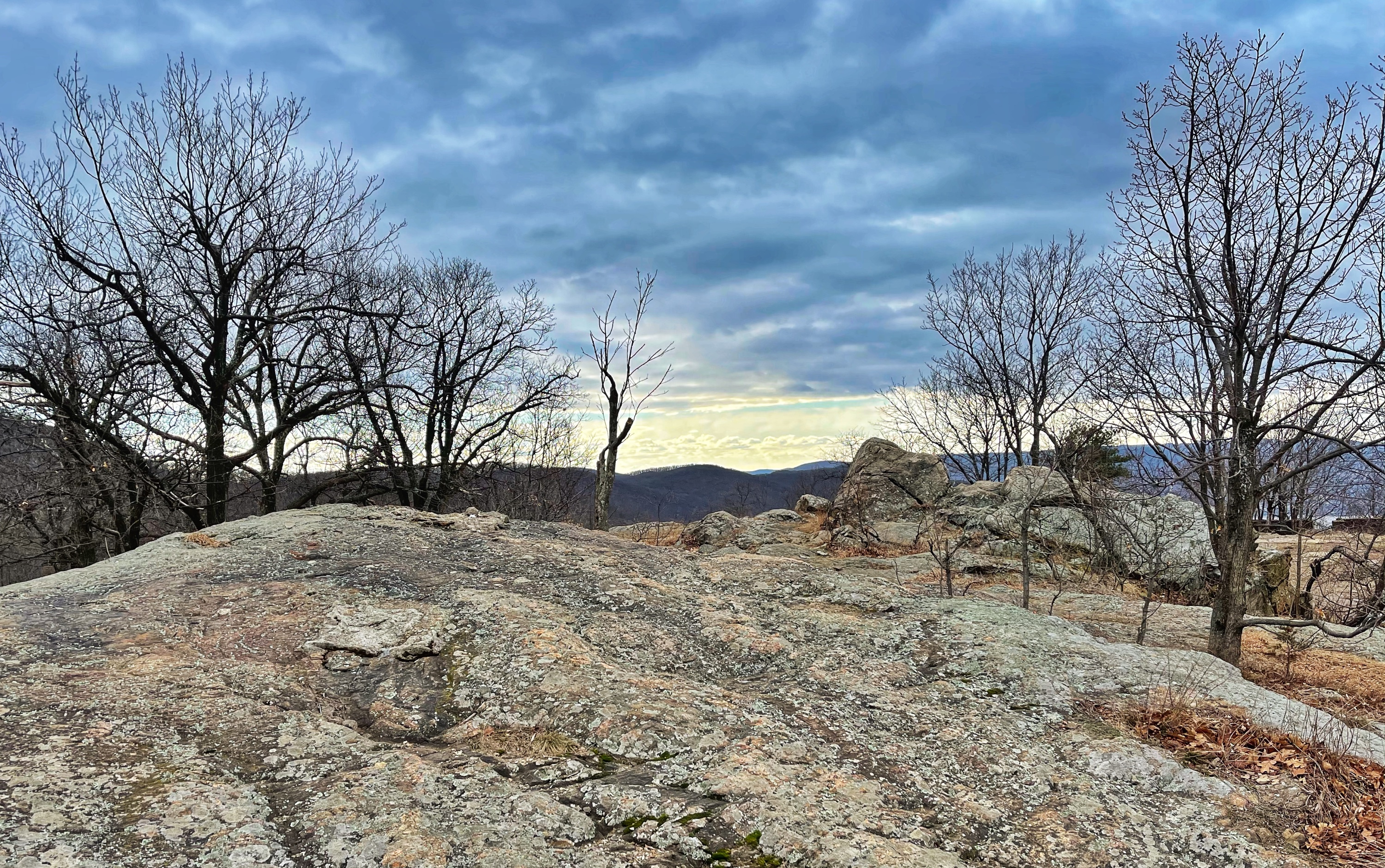
The trail begins in dense woods, then onto more and more exposed rock, at which point you’ll get a glimpse of the fire tower.
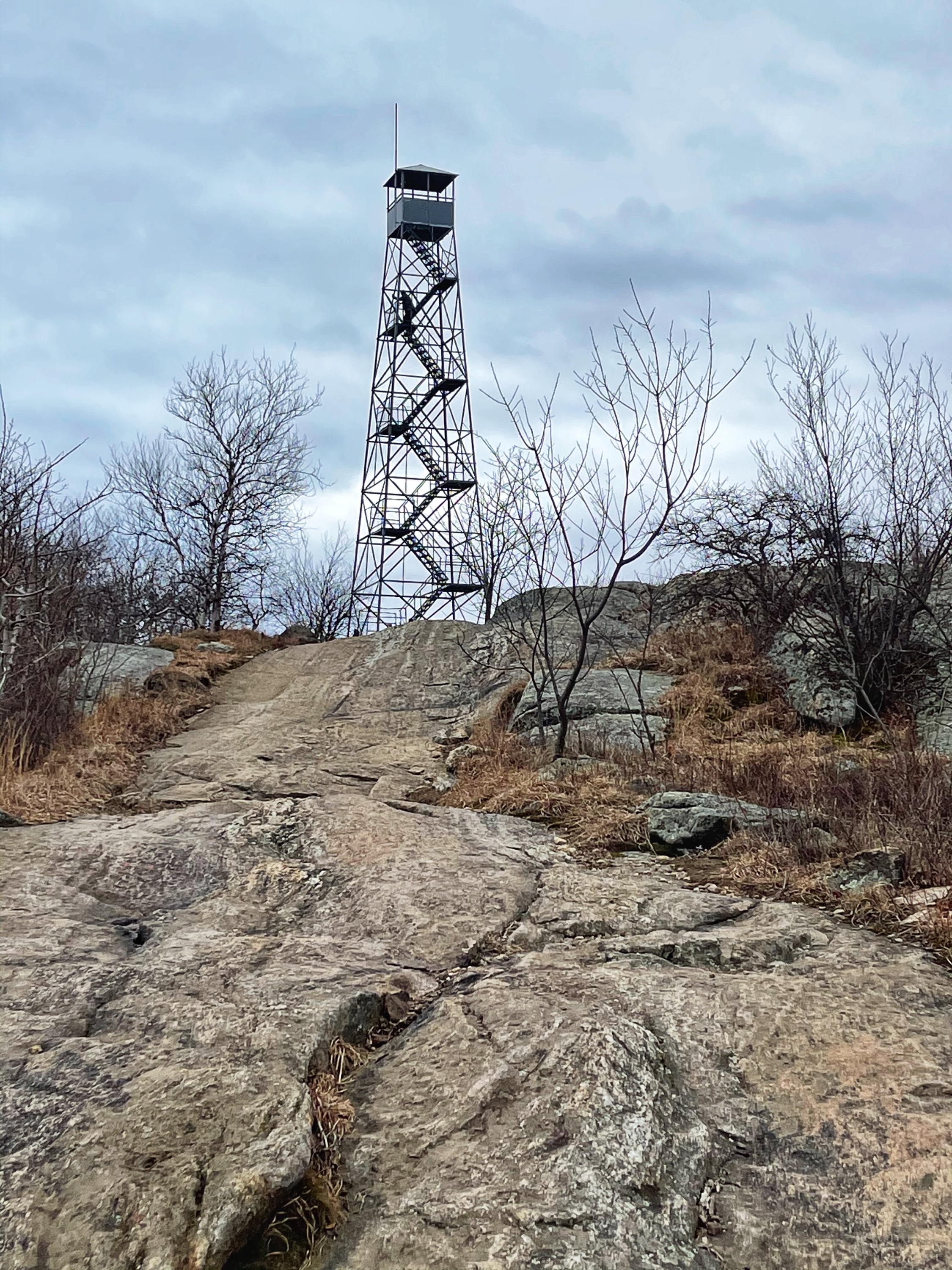
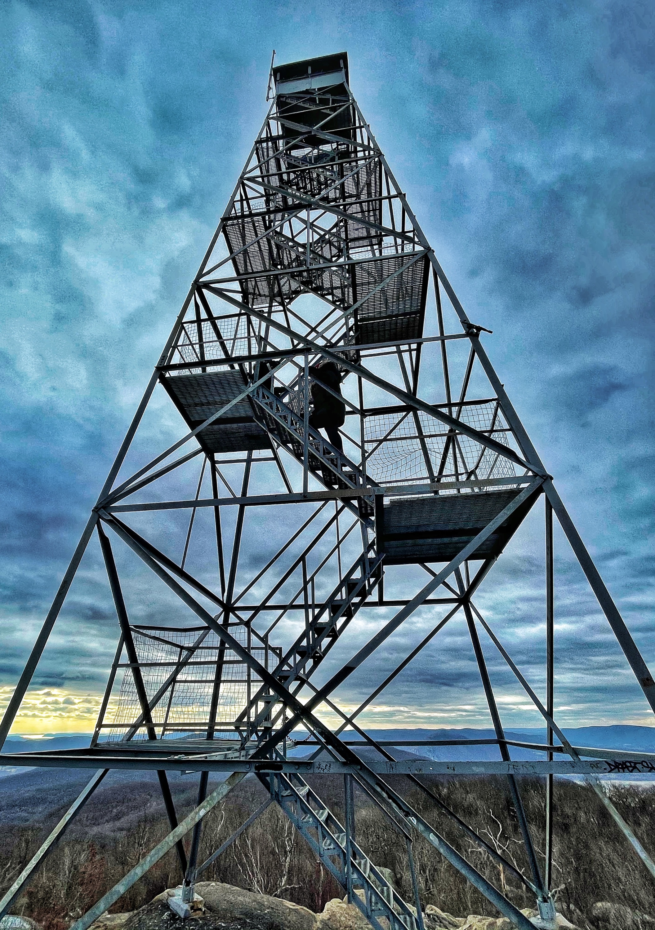
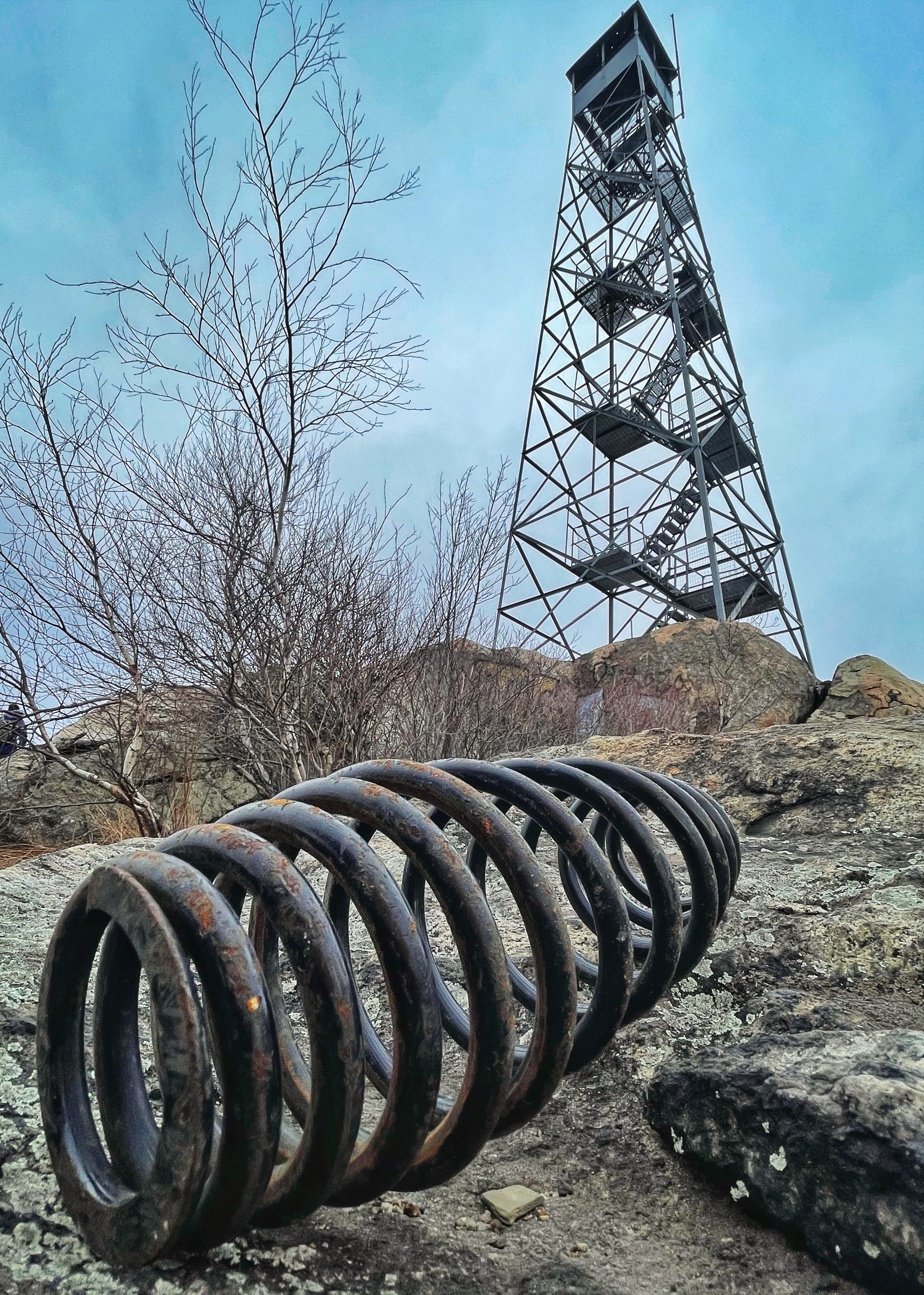
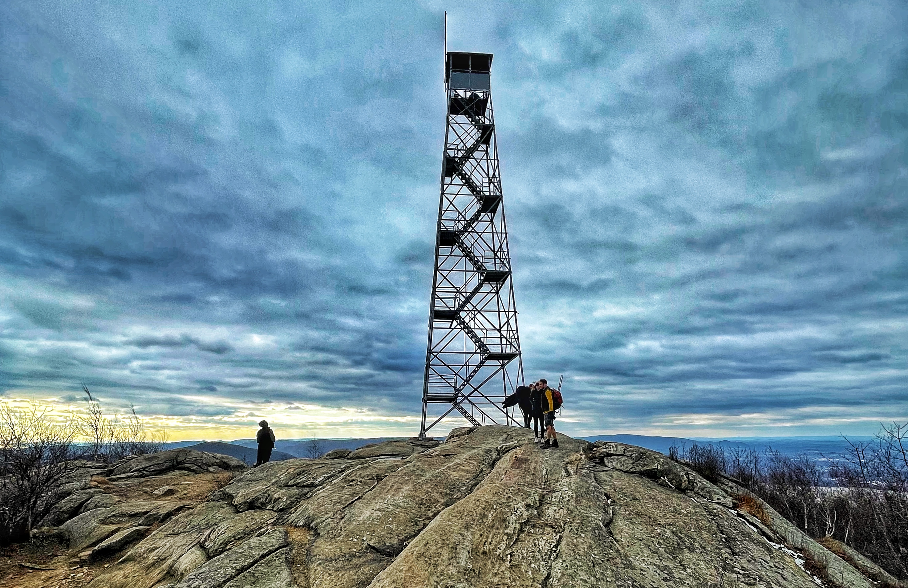
After a total of about a quarter mile, you’ll reach the summit of the 1,610 foot South Beacon Mountain and the Mount Beacon Fire Tower. The fire tower was built in 1931 and restored in 2013.
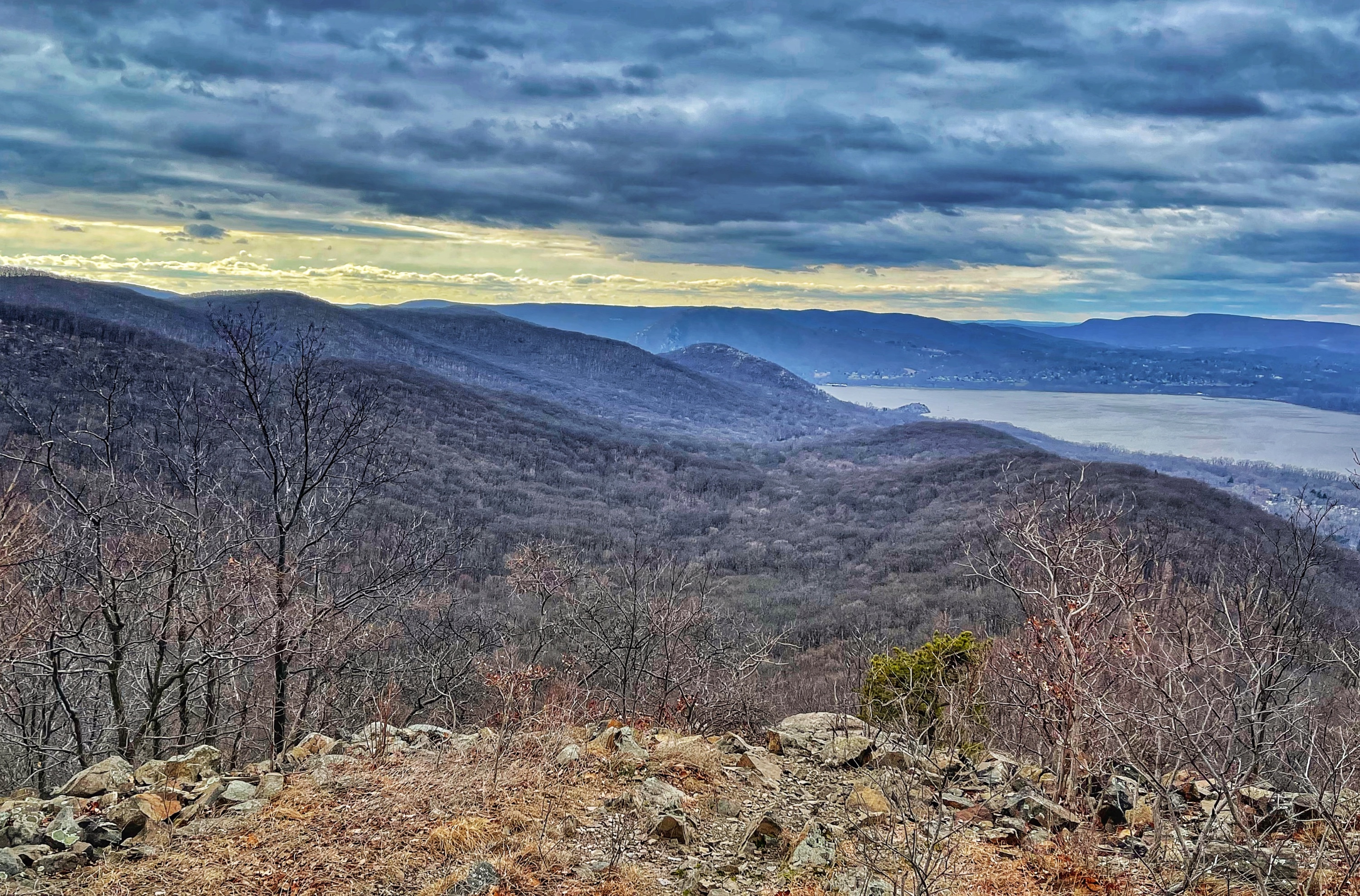
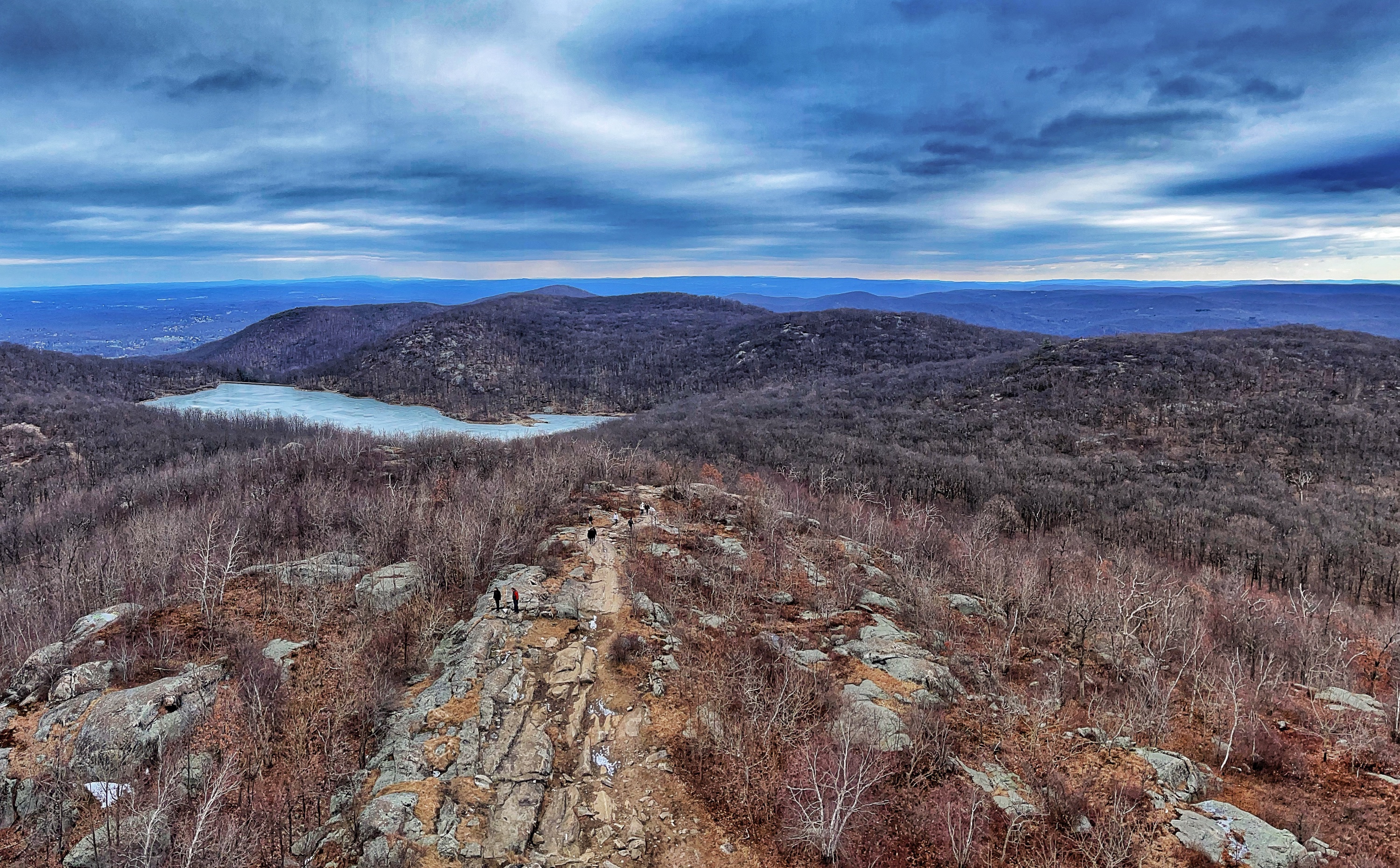
This exposed ridge is a great spot for a snack break and offers nice views, but climb the 60 feet to the top of the tower for even better panoramic views including the Manhattan skyline, the Hudson Highlands, the Shawangunks and Catskills.
Continue southwest just beyond the fire tower and look for the white blazes of the Breakneck Ridge Trail (if you followed the blazes to the right – west – you would eventually reach Breakneck Ridge). We will turn left (east) to follow the white blazes down back to the red-blazed Casino Trail.
Decision time
Once you reach the red-blazed Casino Trail, you have a choice to make. If you’ve had enough and are good with a 4 mile total roundtrip hike, make a left and retrace your steps 2 miles downhill back to the parking area.
If you prefer to extend your hike into a longer loop, see the directions for the Mount Beacon and Lambs Hill hike. (COMING SOON)

