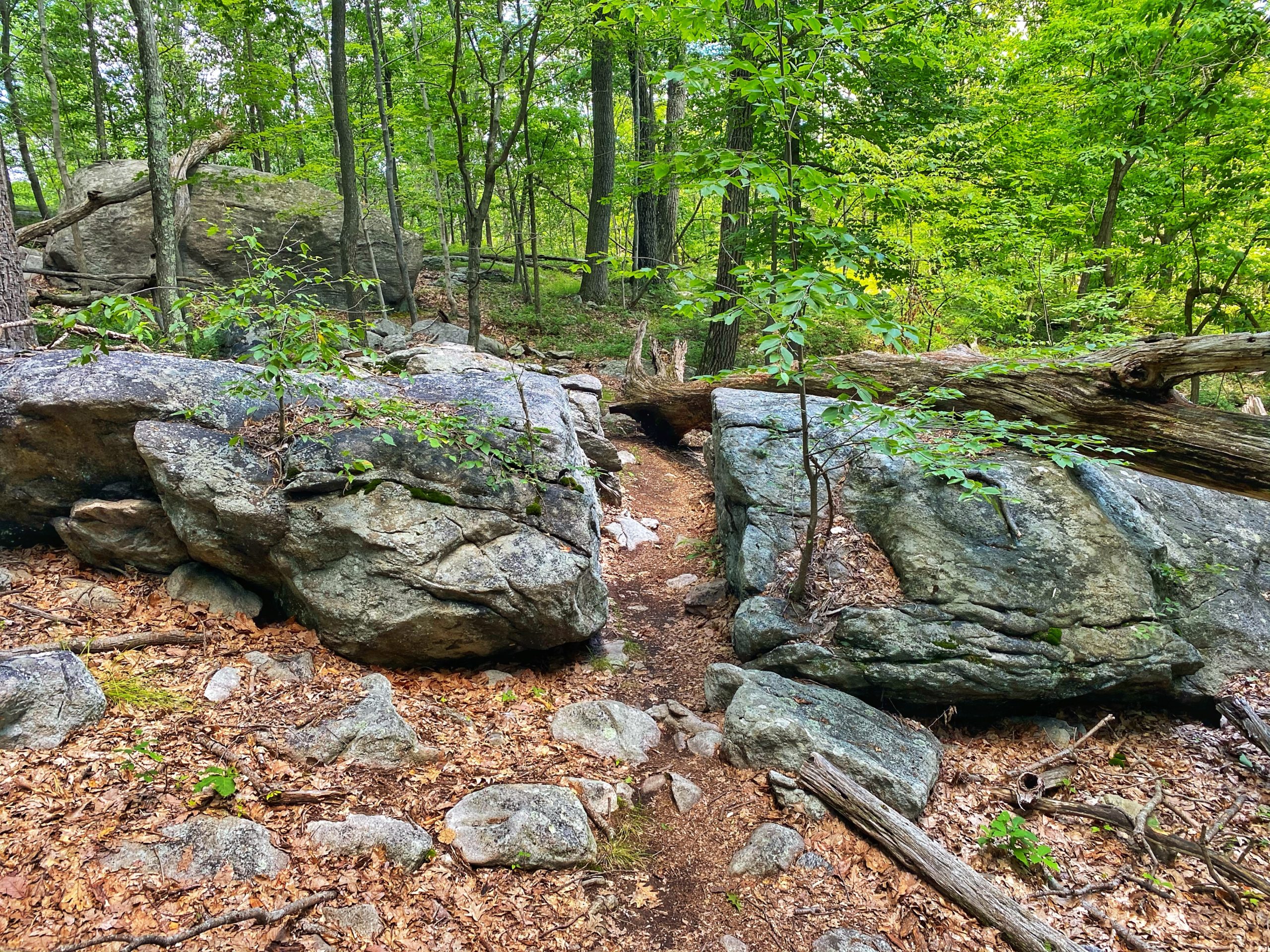
Overview: The 4.5 mile Manaticut Point Trail loops through the less-visited part of Norvin Green State Forest, passes Lake Sonoma and offers panoramic views from Overlook Rock and Manaticut Point.
Who is Norvin Green? It’s a good question. Here is the answer. And that’s why he’s got a wonderful rugged forest in North Jersey named after him.
This trail makes our list of best hiking trails in New Jersey. To find other great hikes, check out the whole list.
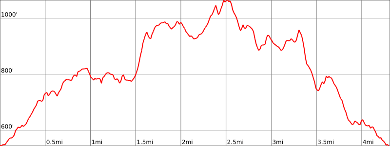
Hike Length: 4.5 miles (8 miles)
Elevation Gain: +600′ (Extended hike: +840′)
Location: Norvin Green State Forest, Ringwood, NJ
Parking: Park on the shoulder of Crescent Drive near the trailhead.
Maps:
- NY-NJ Trail Conference – North Jersey Trails map set #115 & #116 (buy).
- NY-NJ Trail Conference Norvin Green State Forest – North Trail Map
- NJ Division of Parks & Forestry: Norvin Green State Forest map
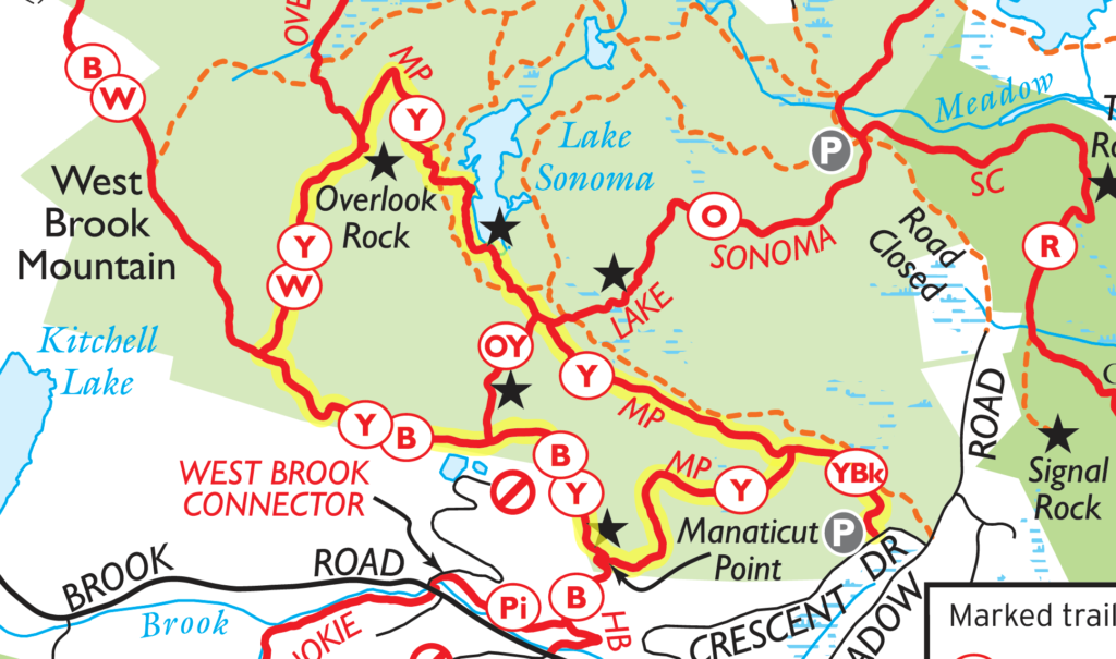
Trail Description (adapted from NY-NJ Trail Conference):
(Summary: Follow the black-square-on-yellow blazes, then follow the yellow blazes in a counterclockwise loop, then return to the trailhead via the black-square-on-yellow blazes)
The Manaticut Point Spur Trail begins next to the kiosk by the side of the road.

Follow the black-square-on-yellow blazes. After crossing a few streams, Manaticut Point Spur Trail ends at a junction with the yellow-blazed Manaticut Point Trail. The trail goes both left and right. You should continue straight ahead to do a counterclockwise loop.
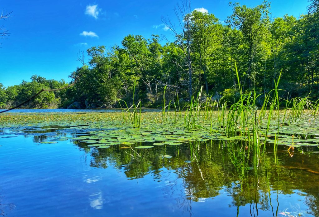
You will pass the trailhead of the orange-blazed Lake Sonoma Trail on the right, but continue to follow the yellow blazes. You will soon reach a viewpoint over the lake.


The trail has recently been rerouted in at least two places near Lake Sonoma to provide a panoramic view of the lake from the west and to avoid a wet area. All around the lake you’ll see tree stumps with the tell-tale signs of beaver activity.
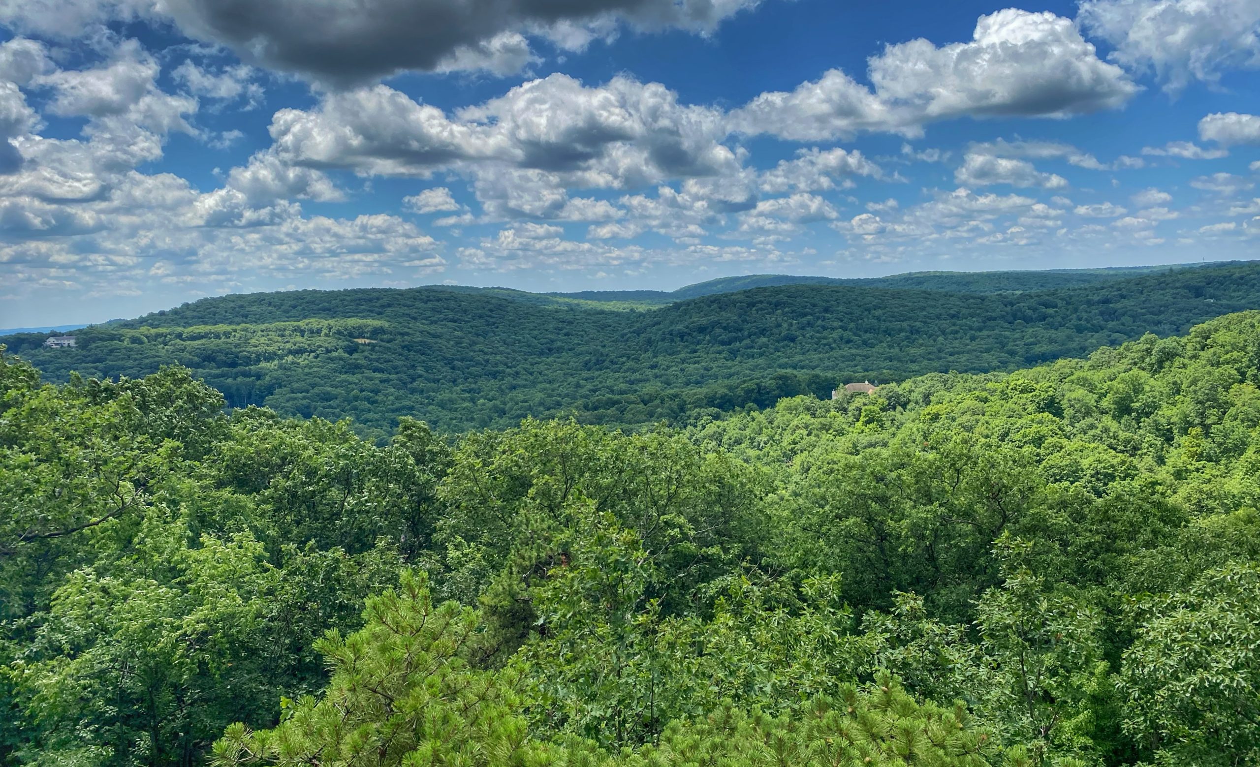
Soon, the white-blazed Overlook Rock Trail will join from the right. Continue to follow both yellow and white blazes. In 150 feet, both trails turn right at a double blaze. Instead, make a short detour by turning left and climbing up a rock ledge, emerging onto Overlook Rock — a massive exposed rock face providing panoramic views of Lake Sonoma and Windbeam, Bear and Board Mountains, with the Ramapo Mountains in the background.



Enjoy the view. Take your time here.
Want a longer hike?
For an extended hike (an additional ~3.5 miles and the views aren’t great, but it’s mostly a nice trail), backtrack about 50 feet to the junction with the white trail. Turn left onto the white-blazed Overlook Rock Trail and follow the white blazes. Pay attention – there are lots of woods roads that criss-cross the area. In about a half mile you’ll reach a rock outcrop with a partial view to the east (not as good as the view from Overlook Rock). Continue and you’ll cross under a power line cut, then immediately turn left onto the co-blazed blue (Hewitt-Butler) and white (Overlook Rock) trails. Trail maps indicate a viewpoint about a third of a mile further along the trail, but it’s a poor and mostly obstructed view. Continue to follow the blue and white blazes until you reach the junction with the yellow-blazed Manaticut Point Trail, then follow the directions below.
When you’re ready to continue, descend back to the trail and turn left onto the white/yellow-blazed trail. In half you’ll reach a junction with the blue-blazed Hewitt-Butler Trail. Turn left, following both yellow and blue blazes. It’s not marked on maps, but you will pass a few views along the ridge, and the trail will descend.
Unfortunately, the otherwise wonderful vistas along the ridge are scarred by the presence of a few homes.
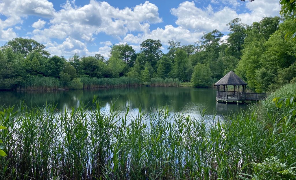
At the bottom of the descent there is a small pond on private property to the right.
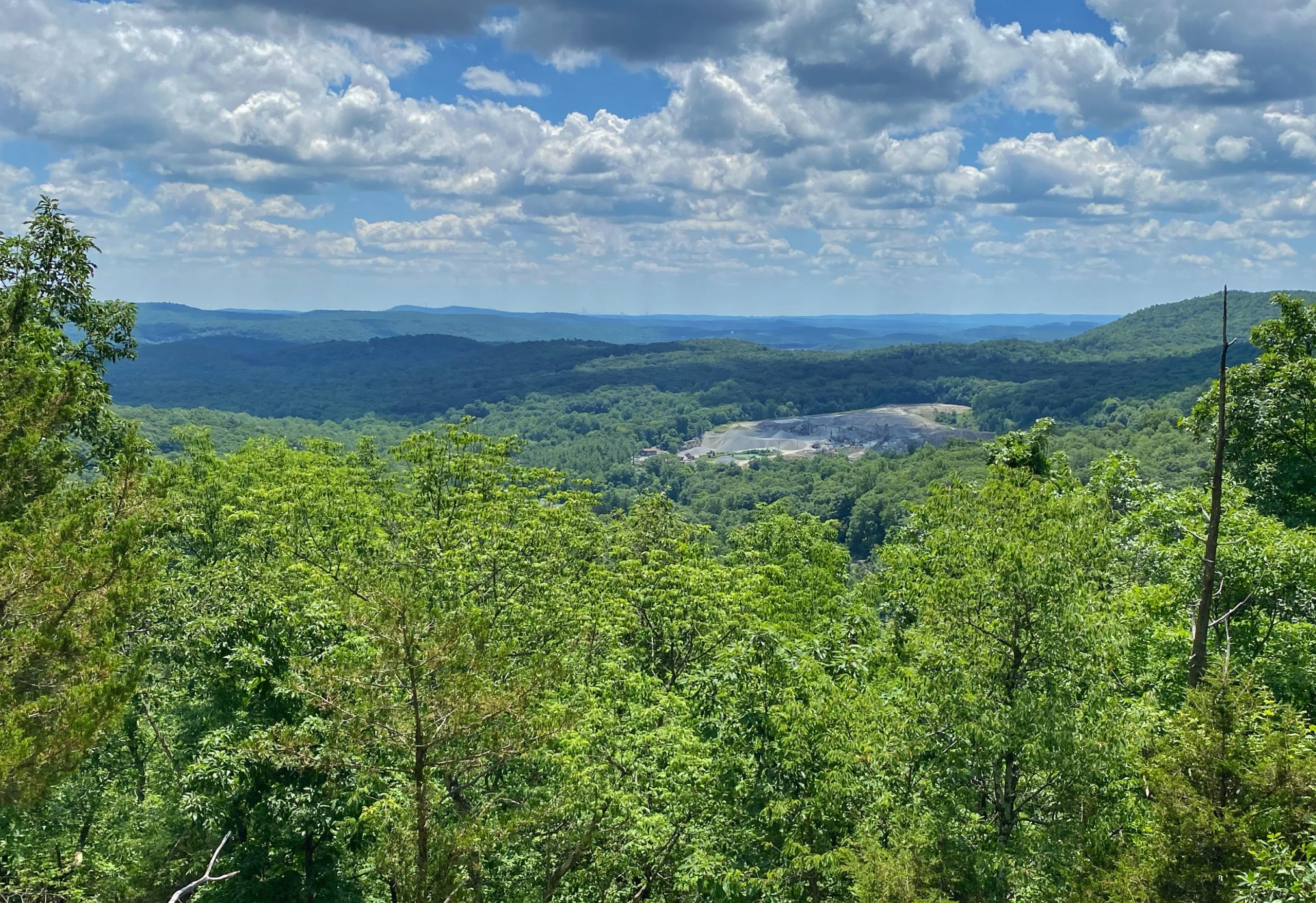
You will soon pass on the left the southern end of the yellow/orange-blazed connector trail. Continue along the blue/yellow-blazed trail, which soon reaches a panoramic viewpoint from Manaticut Point — an open rock ledge (the best view is from the rock ledge to the right of the one traversed by the trail). Windbeam Mountain is directly ahead (east). To the south, scarring the view even worse than the homes is a quarry, with the New York City skyline visible on the horizon on a clear day.
Continue to follow the yellow blazes, past a junction with the blue trail, and eventually reaches the junction where the loop of the Manaticut Point Trail ends. Bear right and follow the black-square-on-yellow blazes of the Manaticut Point Spur Trail back to the trailhead.


