Overview
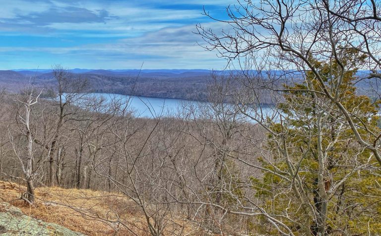
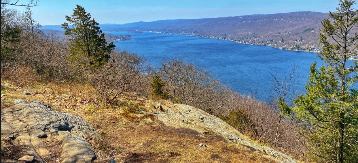
This loops features some of the most picturesque views Sterling Forest has to offer, including panoramic views of Greenwood Lake from Bare Rock Vista and the chance to climb the historic Sterling Fire Tower with views in every direction.
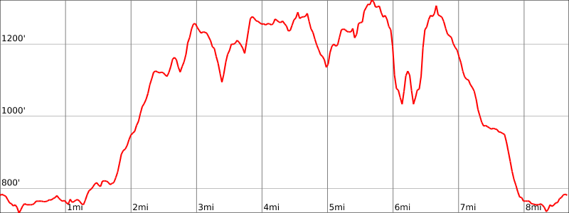
Hike Length: 7.5 miles
Elevation gain: +1,200 feet
Location: Sterling Forest State Park, Tuxedo, Orange County, NY
About Sterling Forest State Park: The park comprises almost 22,000 acres of nearly pristine natural refuge amidst one of the nation’s most densely populated areas. This unbroken deep-forest habitat is important for the survival of many resident and migratory species, including black bear, a variety of hawks and songbirds and many rare invertebrates and plants.
Parking
Park in the lot near the visitor center (not directly in front – that is short term parking). GPS Address: 116 Old Forge Road, Tuxedo, NY 10987
Map
- Sterling Forest State Park (NY State Parks)
- NY-NJ Trail Conference Sterling Forest Trails (Trail Map #100)
- National Geographic – Harriman, Bear Mountain, Sterling Forest State Parks Map
Trail Description
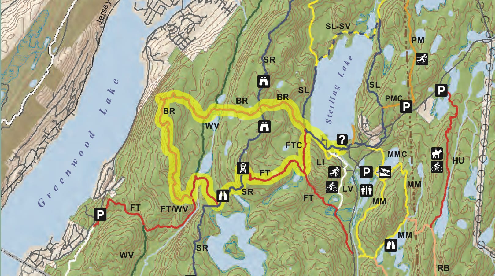
Leave the Visitor Center and pick up the blue-blazed Sterling Lake Trail and walk along Sterling Lake for about 0.65 miles. From there, turn left onto the orange-blazed Bare Rock Trail and follow that for about 2 miles through a heavily wooded area until you come to a a sign for the side trail to Bare Rack Vista.

Follow the short side trail to Bare Rock Vista, where you will be rewarded with a majestic panorama of Greenwood Lake.

Once leaving the Vista, continue for 1.5 miles to the end of the orange-blazed Bare Rock Trail.

At the junction, turn left onto the Fire Tower Trail (white stripe on red blaze) which is co-blazed with the green-blazed West Valley Trail.

After a quarter mile, you will come to pond with a large beaver dam on your right.

Make a sharp right turn to continue to follow the white stripe on red blazes.

After half a mile, you’ll reach a junction with the blue-blazed Sterling Ridge trail and the turquoise-blazed Highland Trail. Turn left to follow the blue blazes and white stripe on red blazes. After about 0.2 miles, you’ll come to an outcropping with views to the south and west.

After an additional half mile, you’ll reach the historic Sterling Fire Tower.

You can climb the tower to get panoramic views in all directions, including of Sterling Lake to the east.
Return to the Visitor Center by following the red triangle-blazed Fire Tower Connector Trail for 1.5 miles to the blue-blazed Sterling Lake Trail.